© Österreich Werbung / Charly Schwarz - Wienerwald Tourismus GmbH
- Kratak opis
-
- Teškoća
-
teška
- Vrednovanje
-
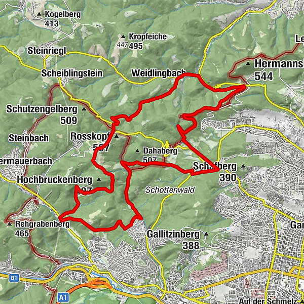
- Wegverlauf
-
Vienna (542 m)Zur Allee0,0 kmHameau (465 m)3,1 kmZwei Gehängte (447 m)4,1 kmZwei Gehängte4,4 kmSchützengraben6,5 kmHinterweidling7,3 kmSophienalpe12,5 kmFranz-Karl-Fernsicht (488 m)13,2 kmDianabründl15,0 kmSchuhbrecherwald20,0 kmGasthaus Rieglerhütte23,2 kmNeuwaldegg26,8 kmVienna (542 m)26,8 kmZur Allee27,0 km
- Beste Jahreszeit
-
sijveljožutrasvilipsrpkolrujlisstupro
- Höchster Punkt
- 485 m
- Zielpunkt
-
17. Bezirk, Umlauftgasse
- Höhenprofil
-


- Autor
-
Die Tour Hameau-Strecke wird von outdooractive.com bereitgestellt.
GPS Downloads


Opće informacije
Einkehrmöglichkeit
Geheimtipp
Weitere Touren in den Regionen
-
Wienerwald
285
-
Wien und Umgebung
206
-
Hohe Wand Wiese
115