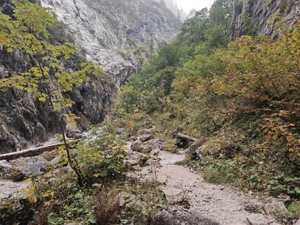
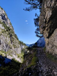
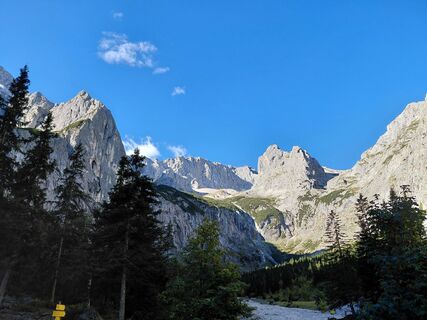
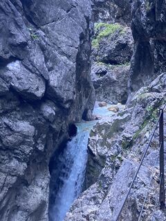
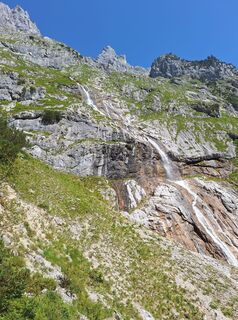
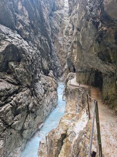
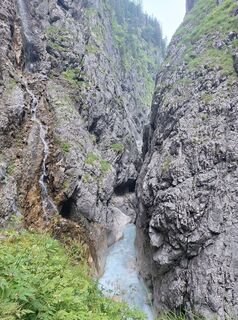
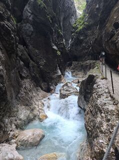
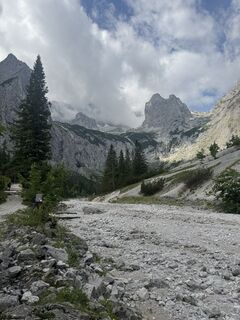
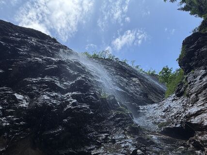
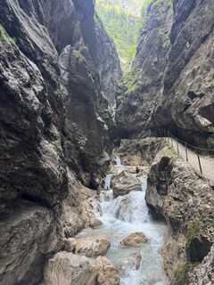
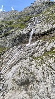
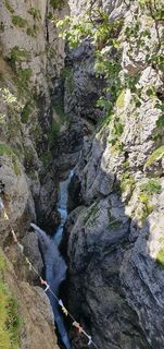
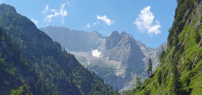
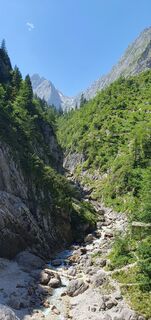
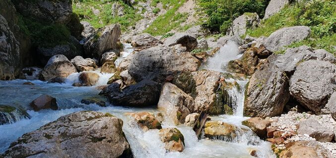
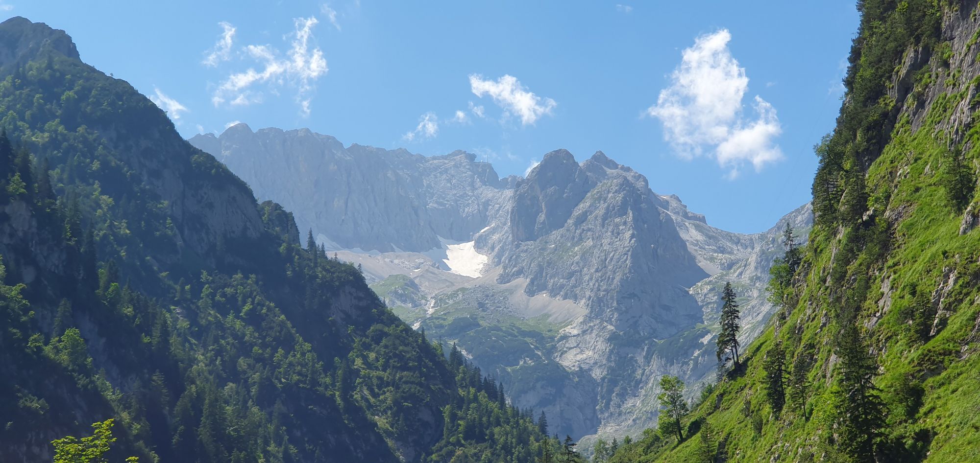
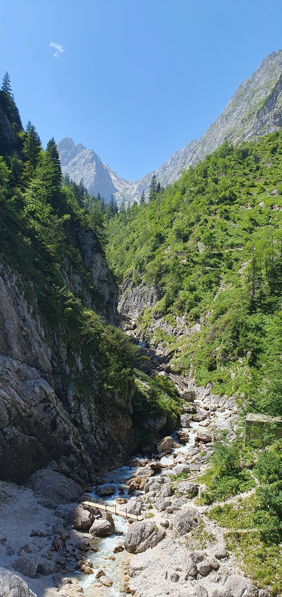
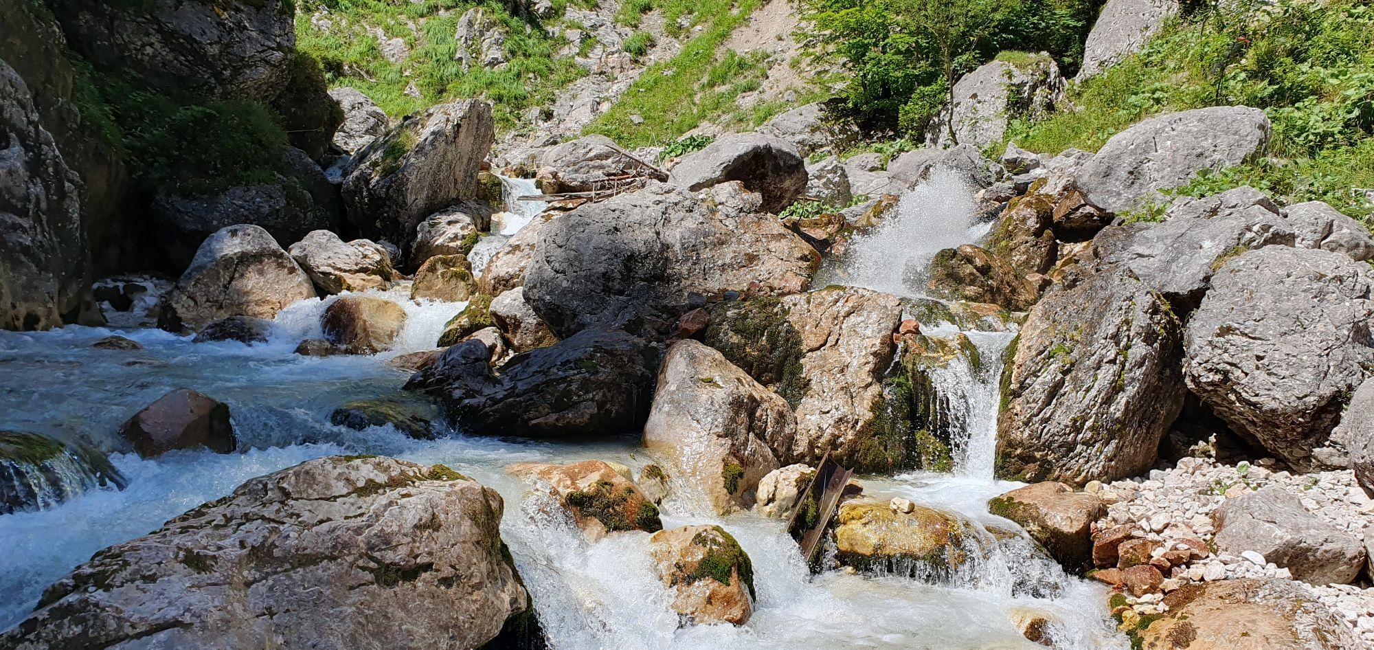
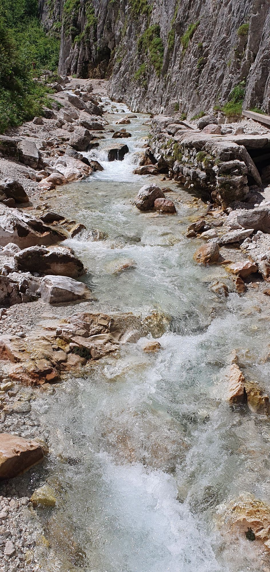
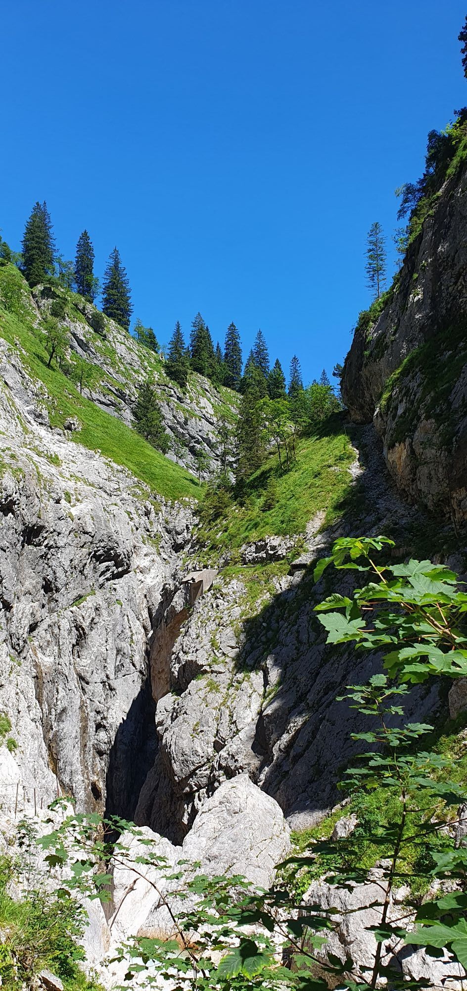
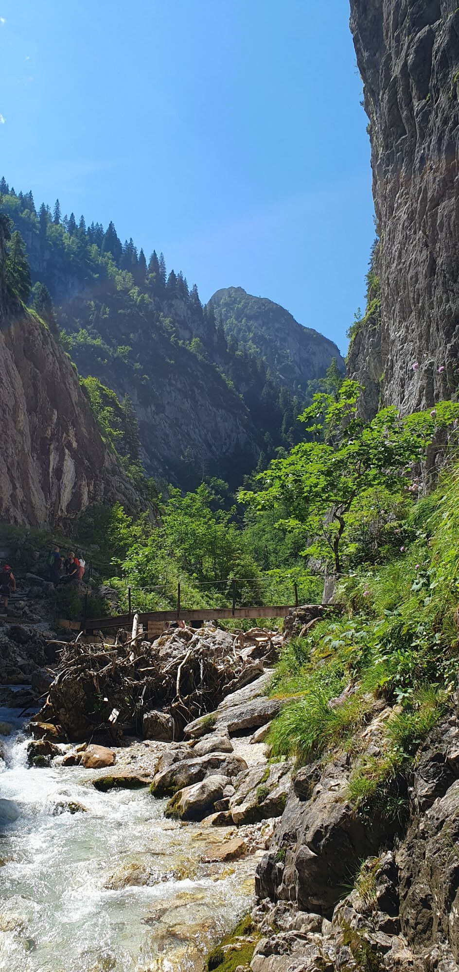
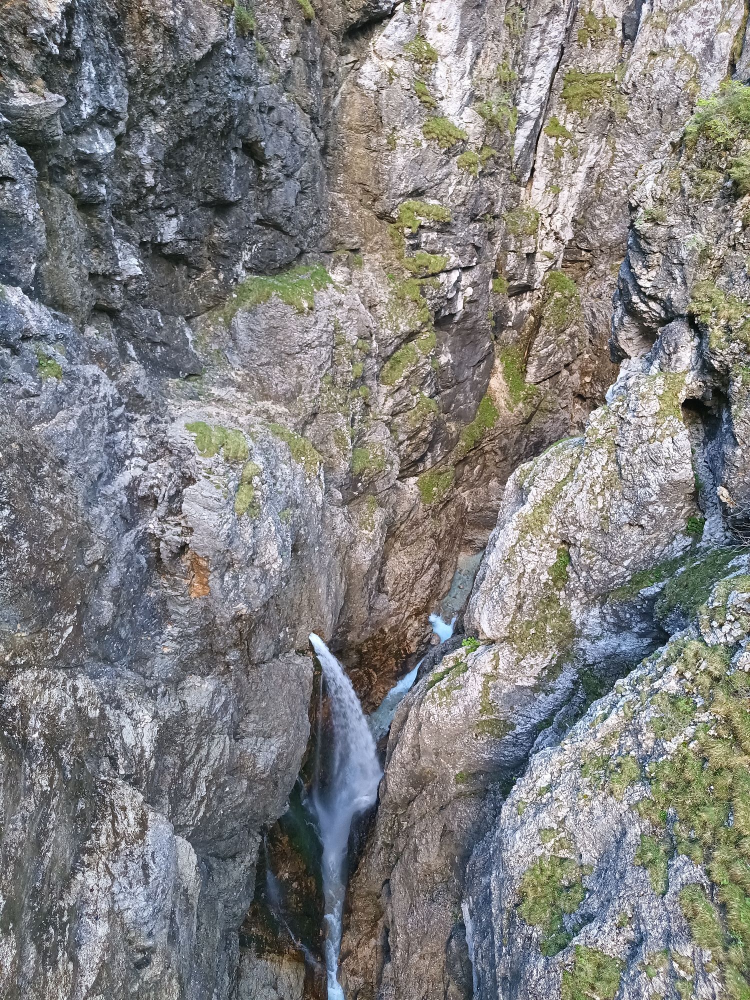
Höllentalangerhütte
Pješačenje
Navigate
Navigate
Get this tour on your mobile
Höllentalangerhütte
Pješačenje
6,57
km
Scan the QR code and start navigation in the bergfex app

Hiking & Tracking


Distance
6,57
km
Duration
02:36
h
Ascent
857
m
Sea level
758 -
1.397
m
Track download
Höllentalangerhütte
Pješačenje
6,57
km


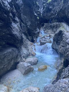
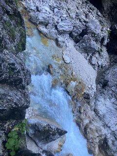
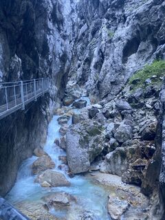
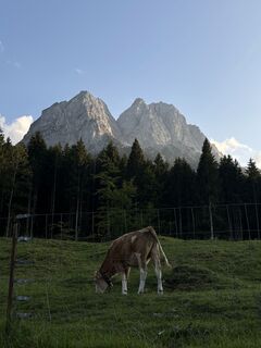
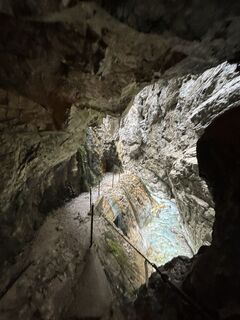
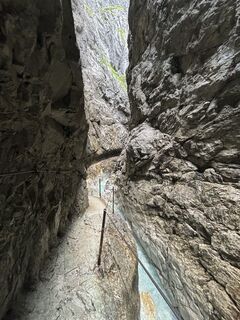
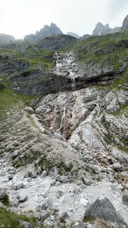
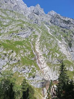
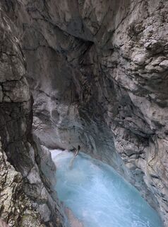
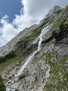
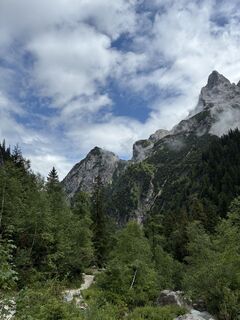
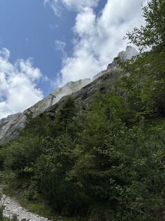
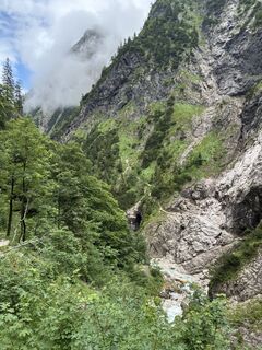
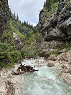
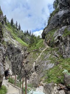
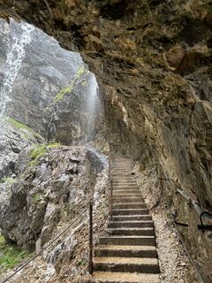
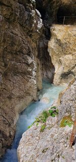
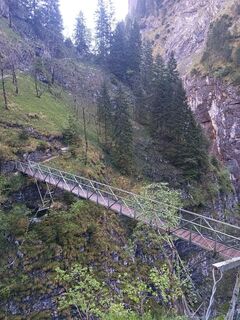
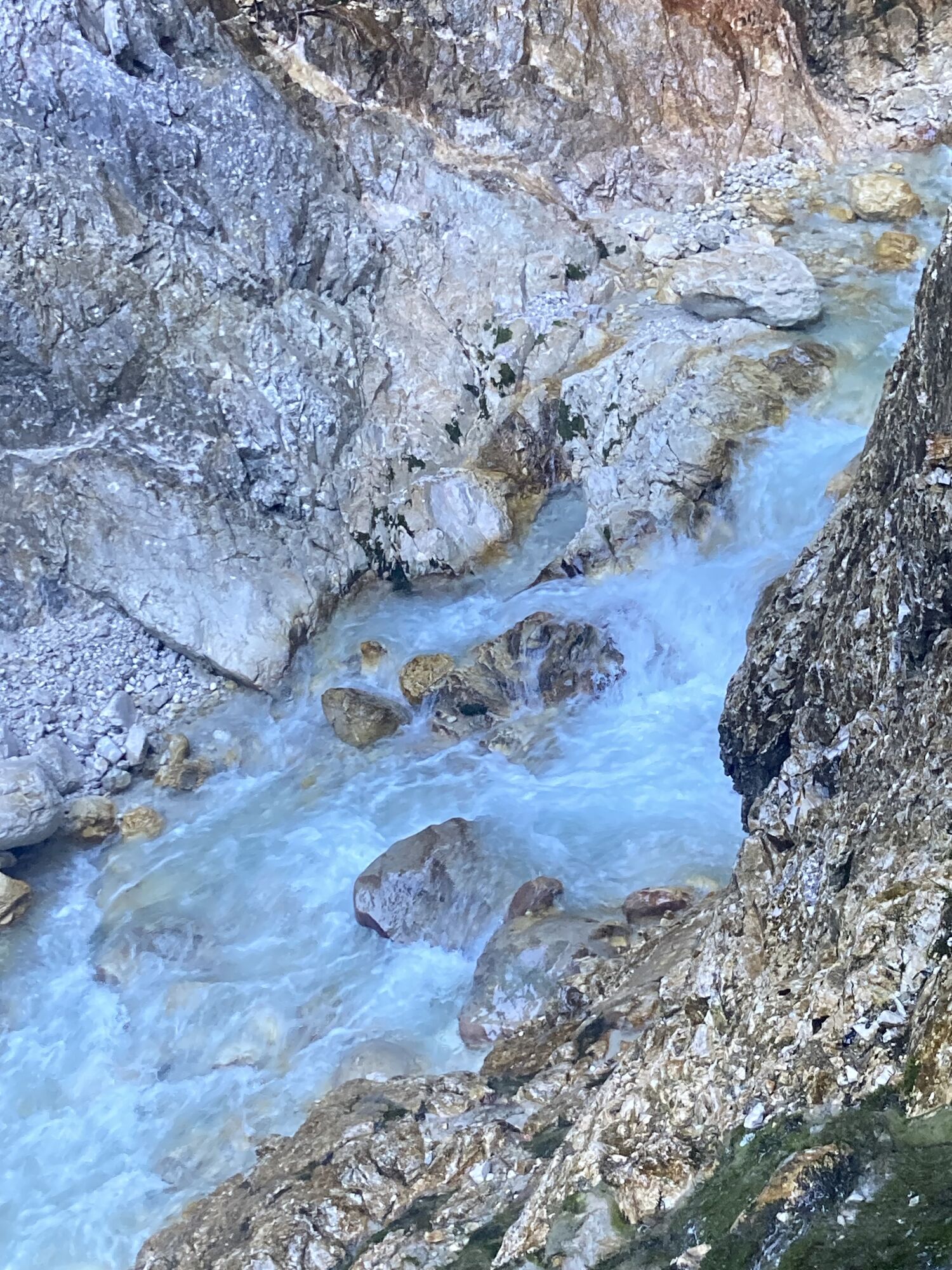
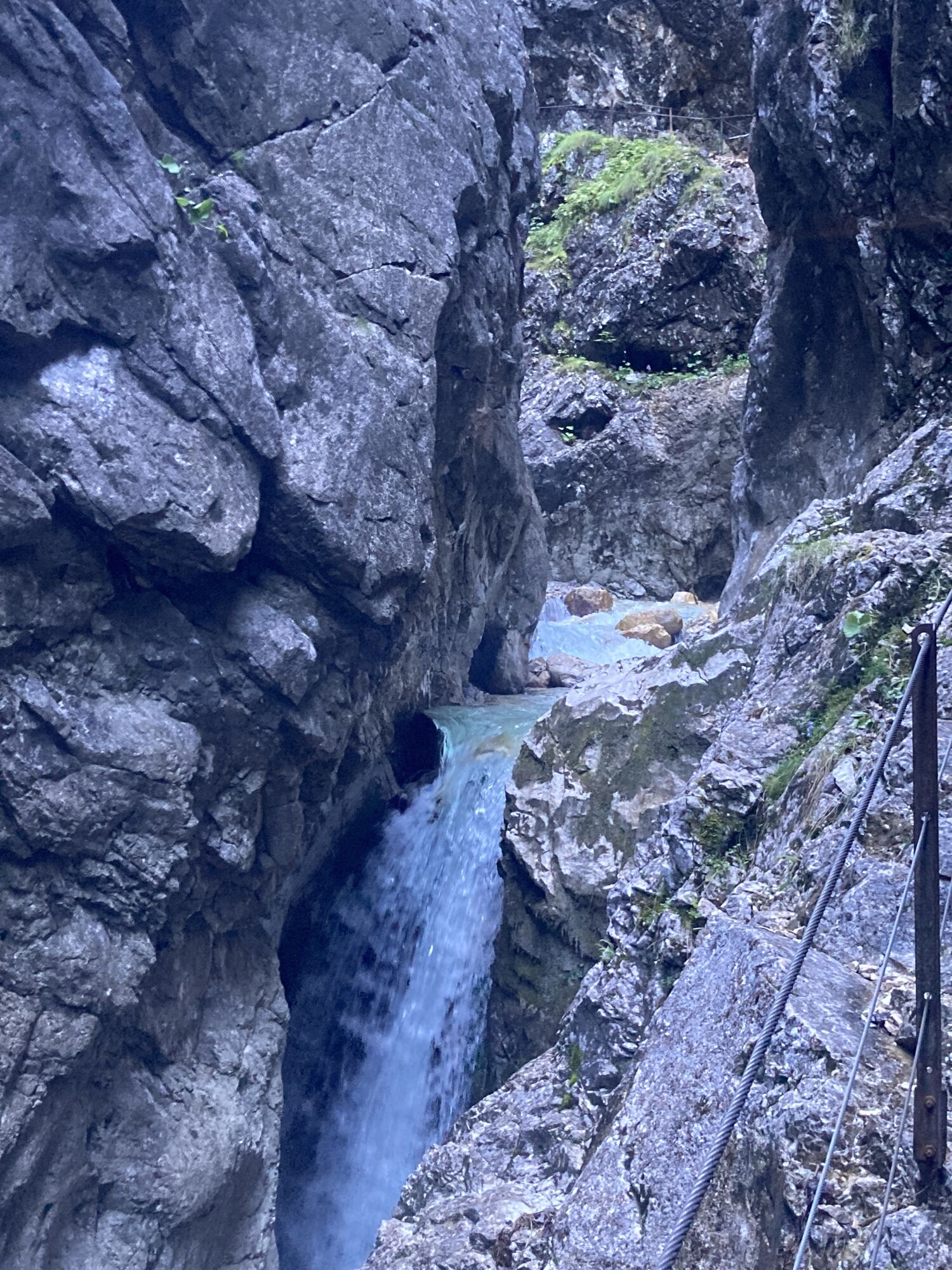
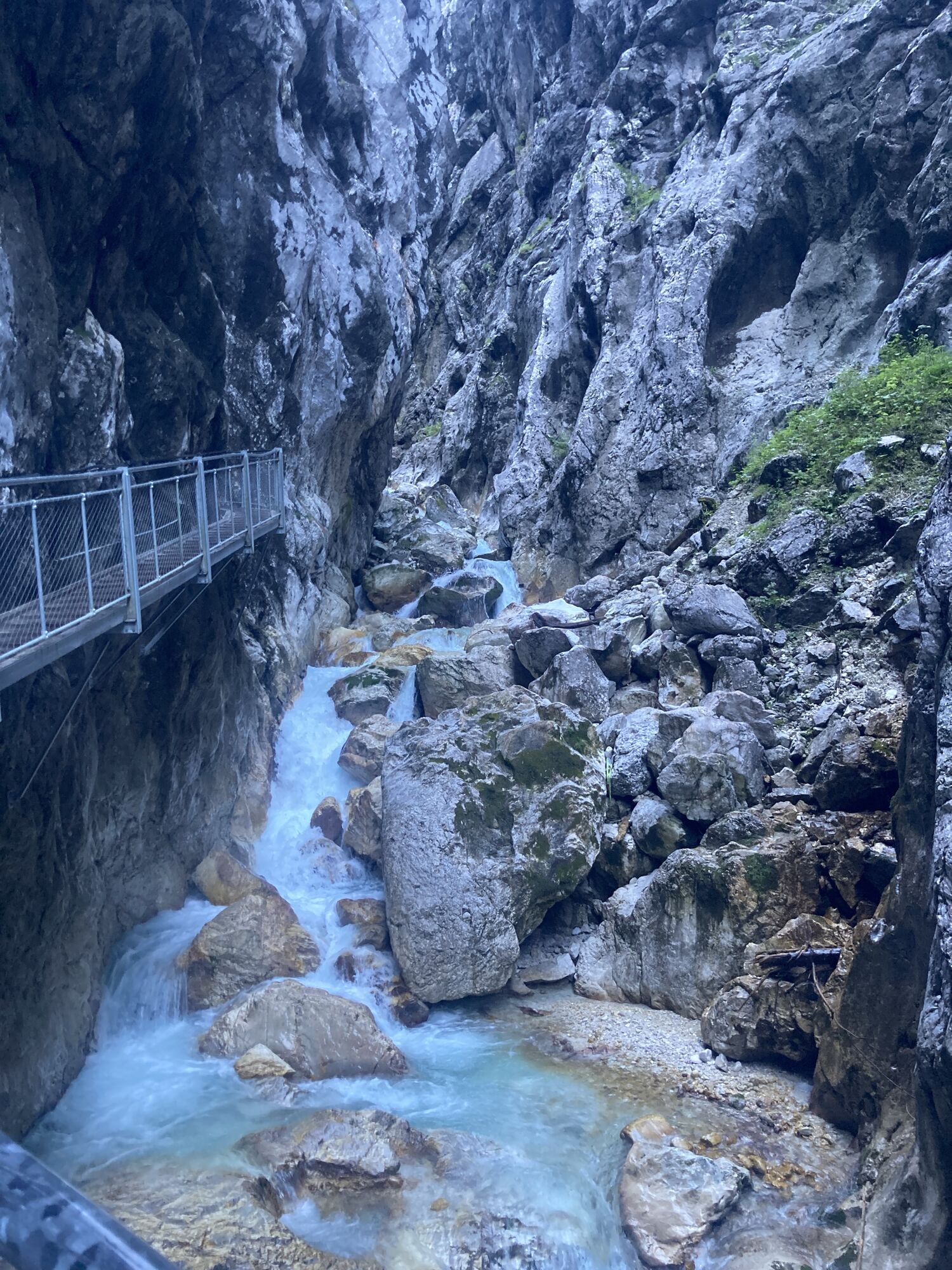
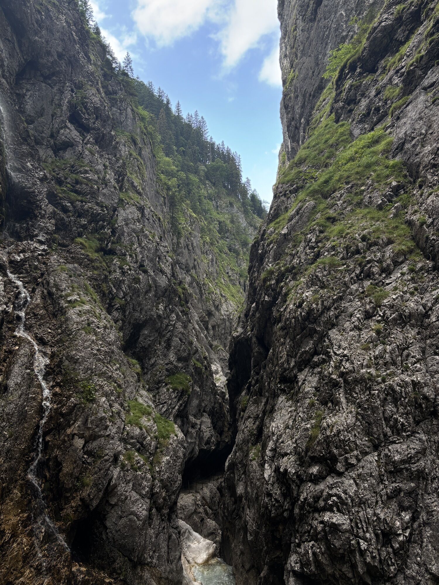
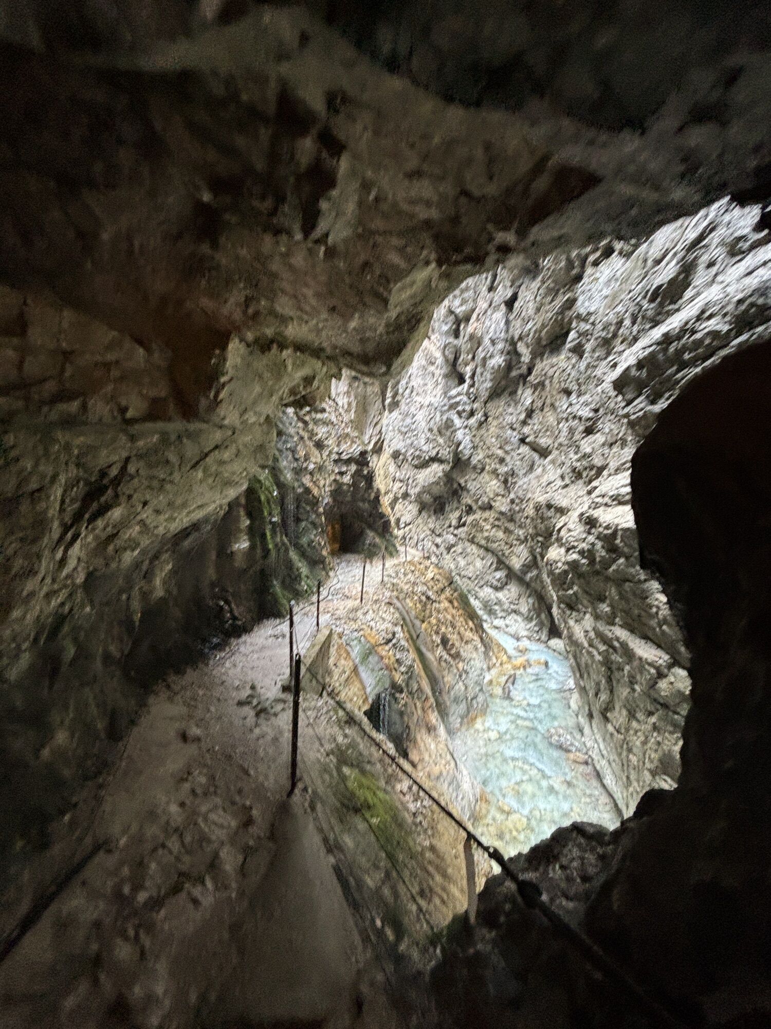
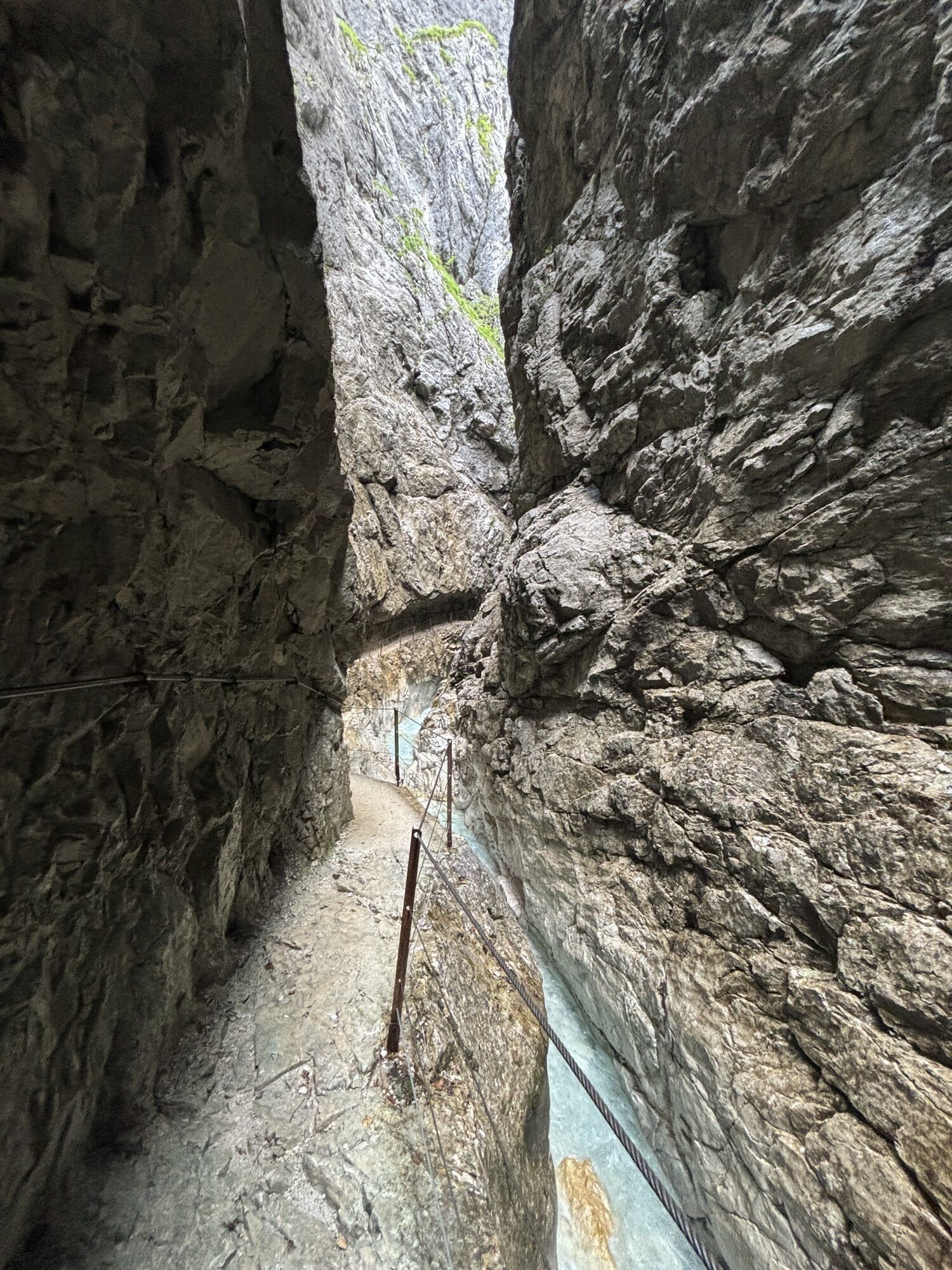
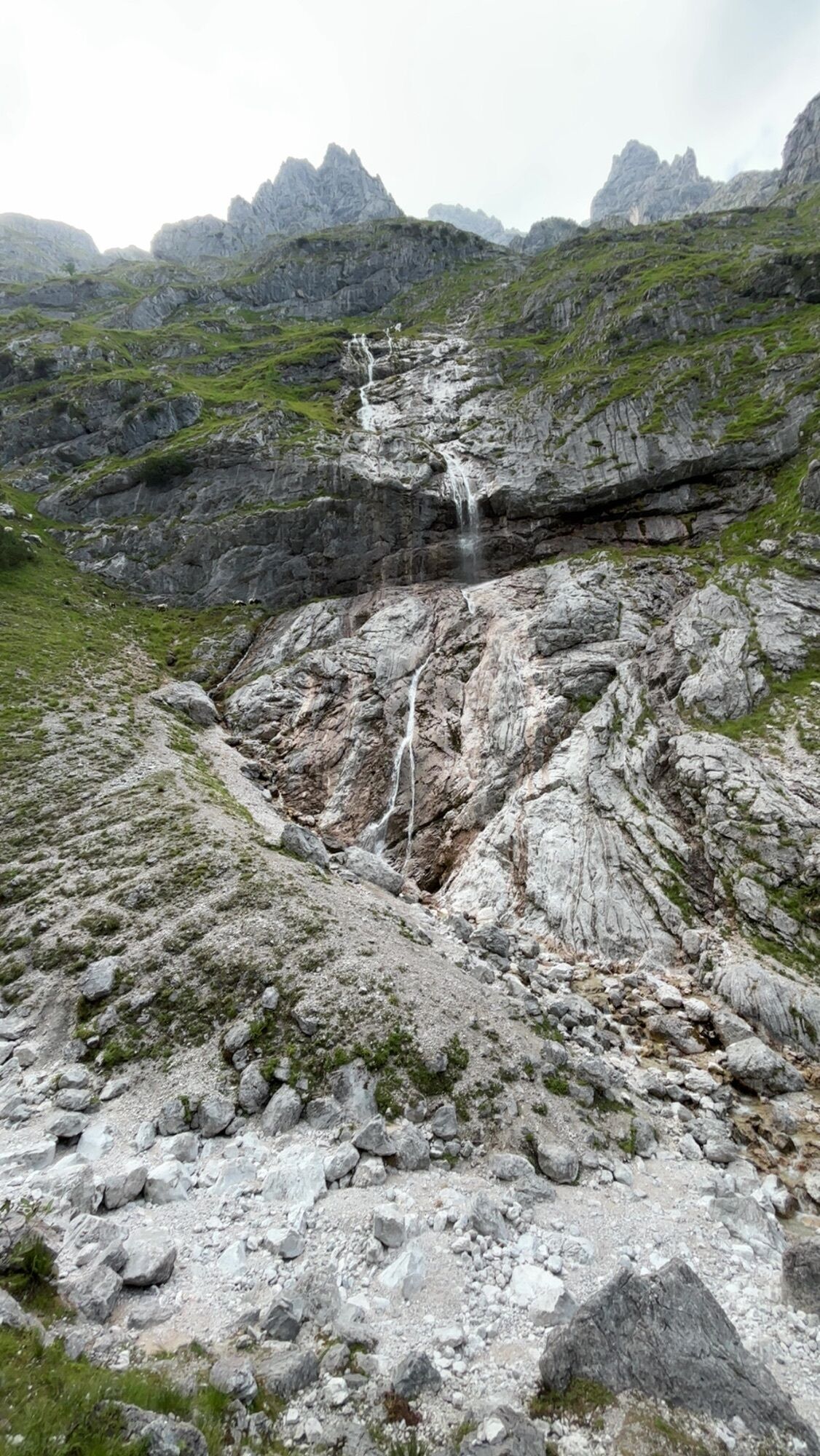
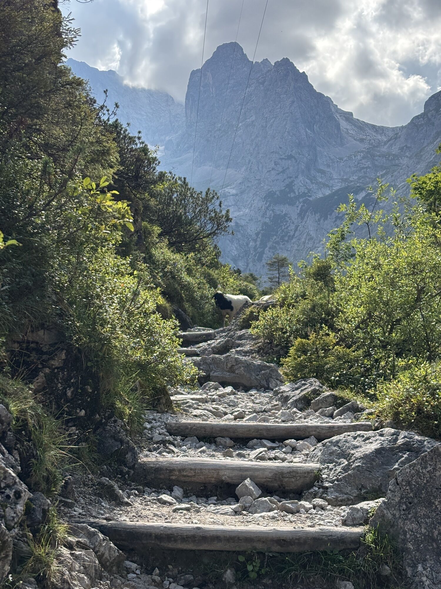
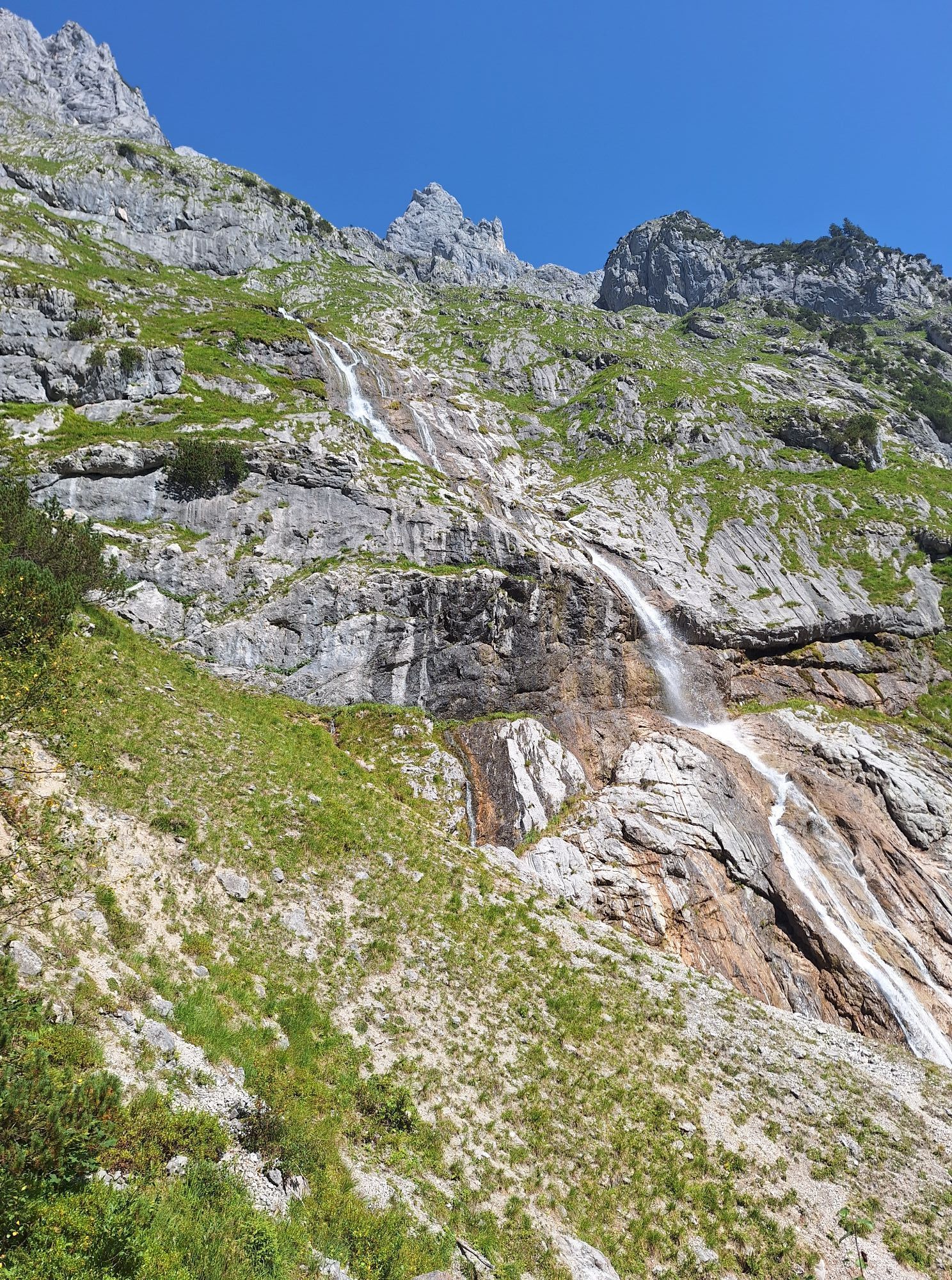
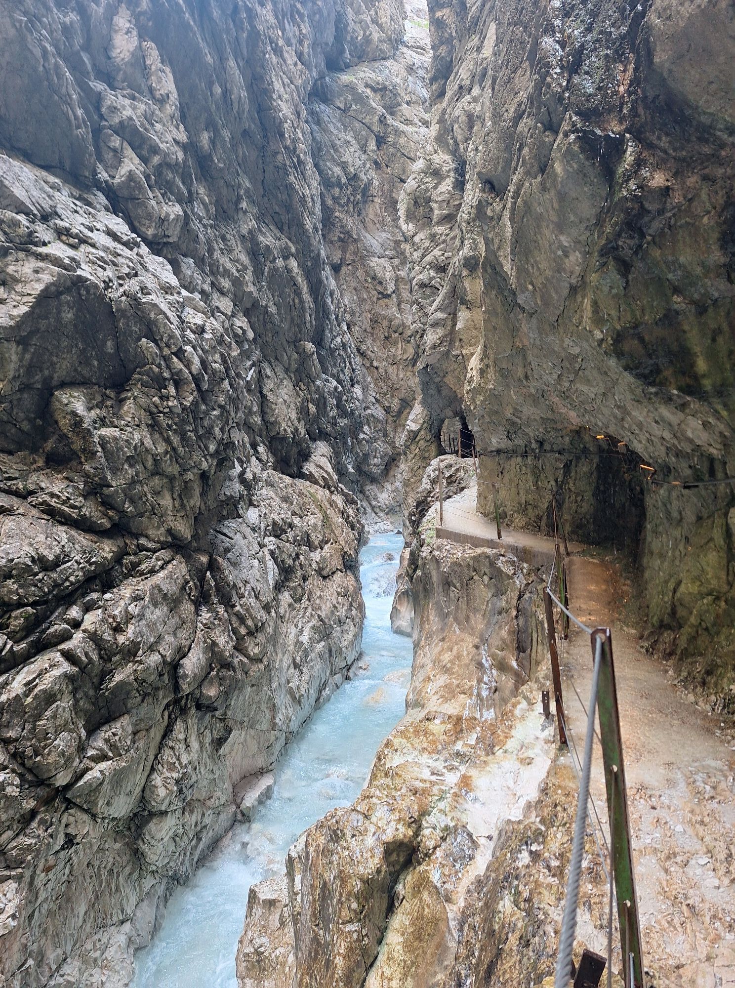
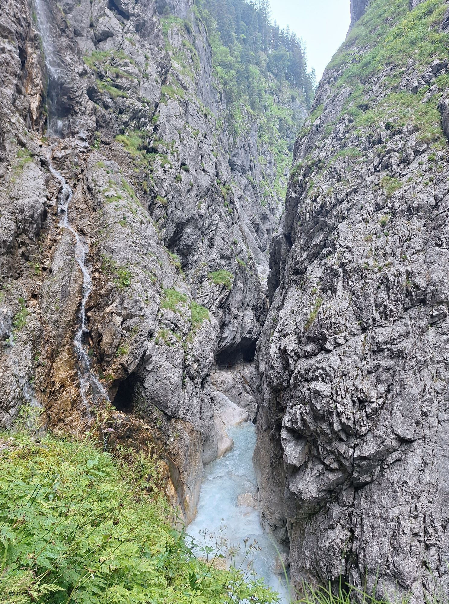
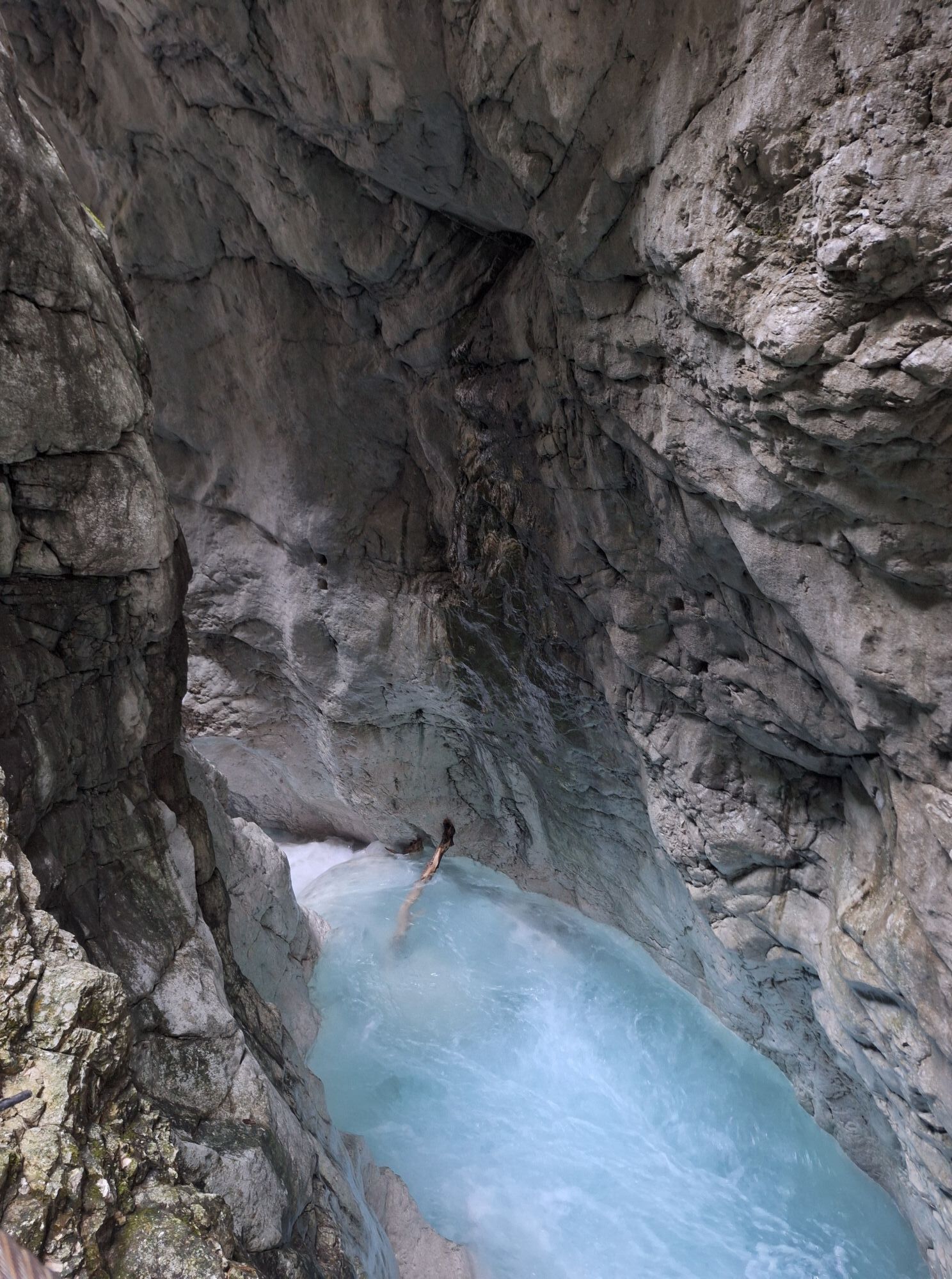
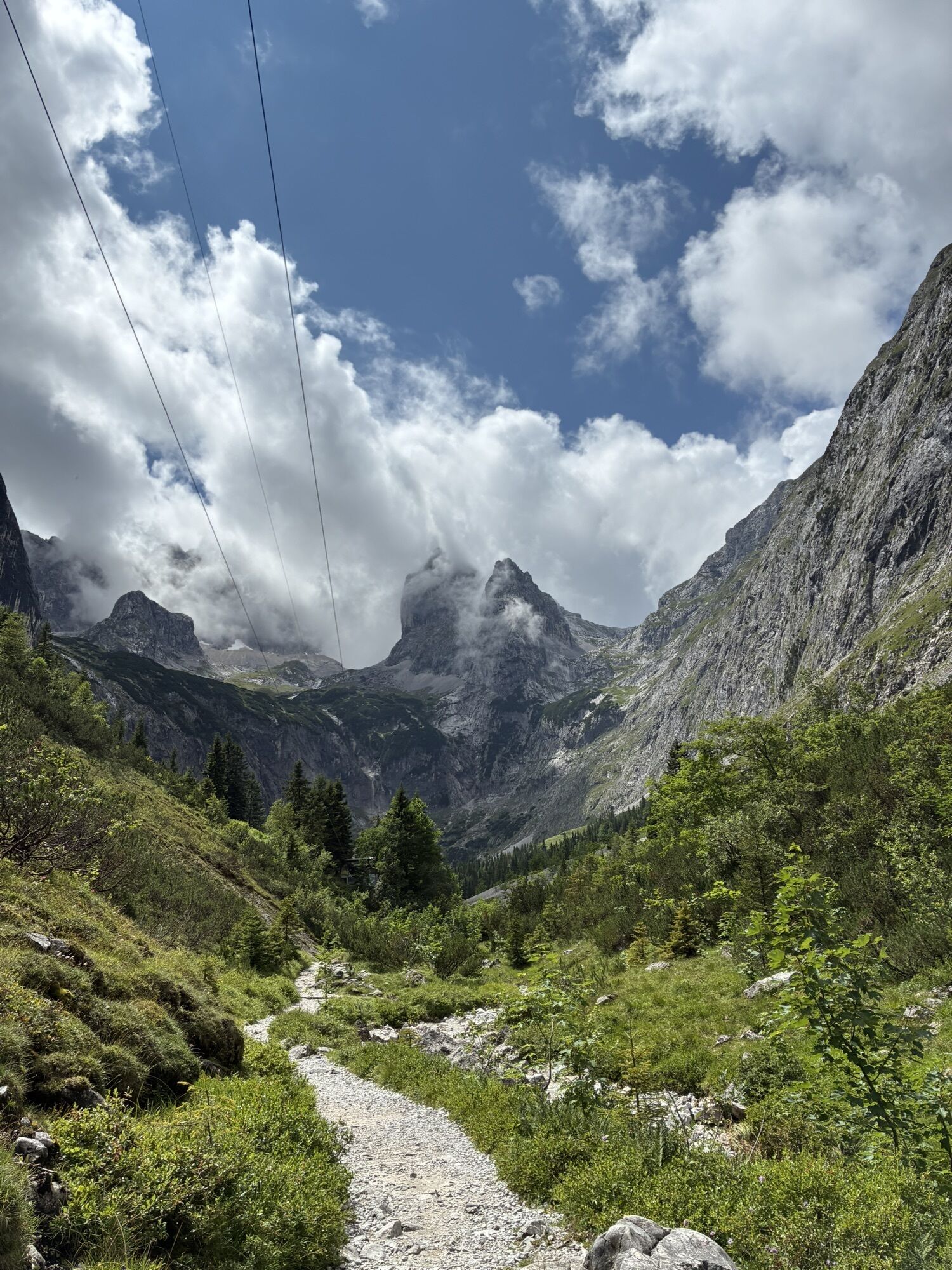
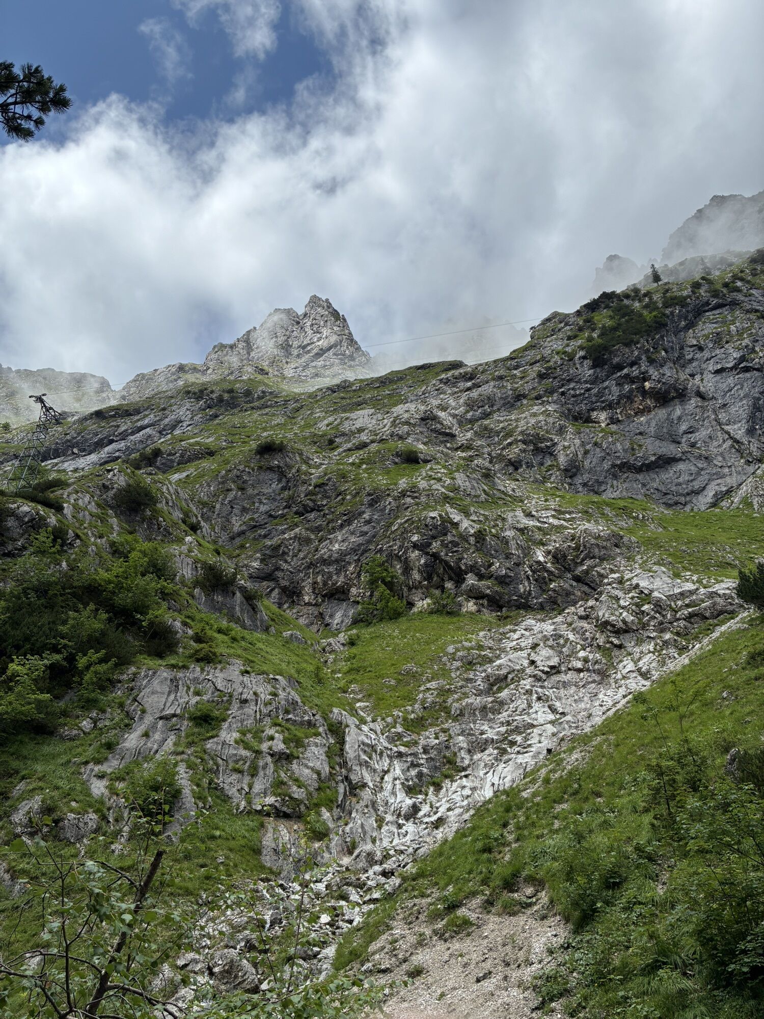
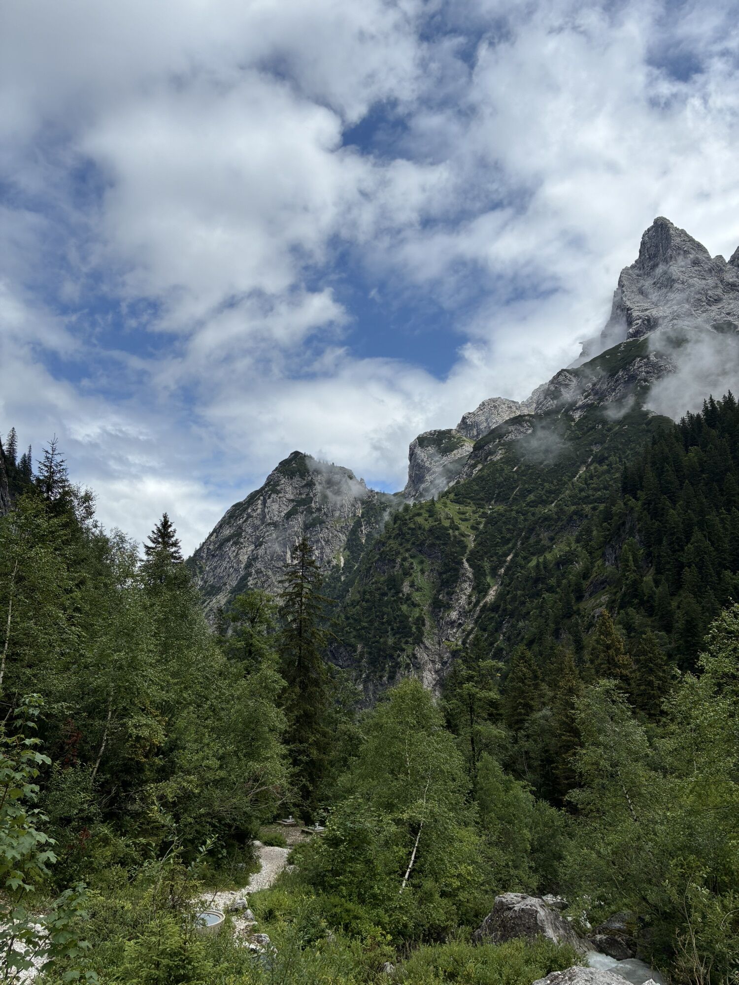
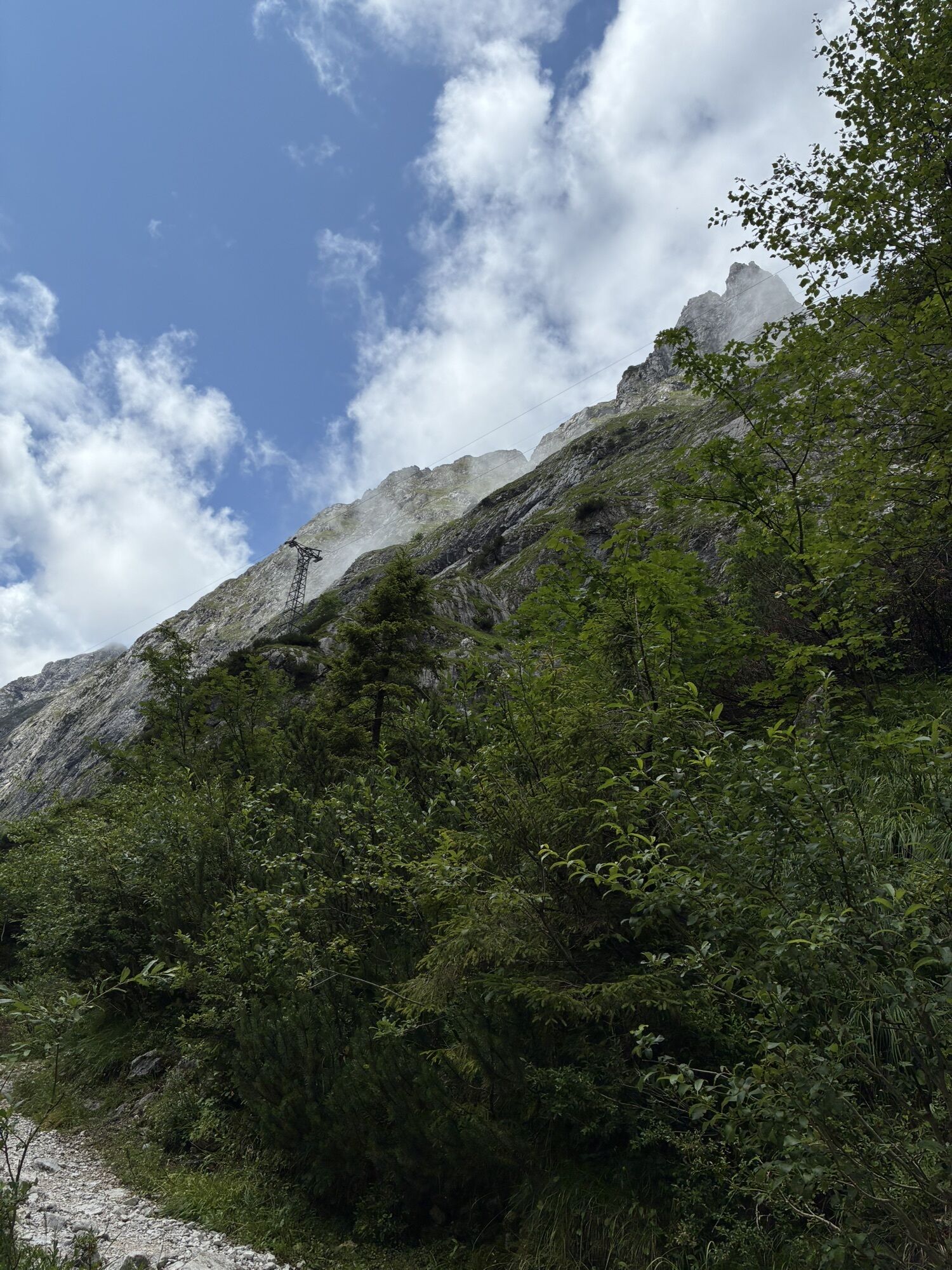
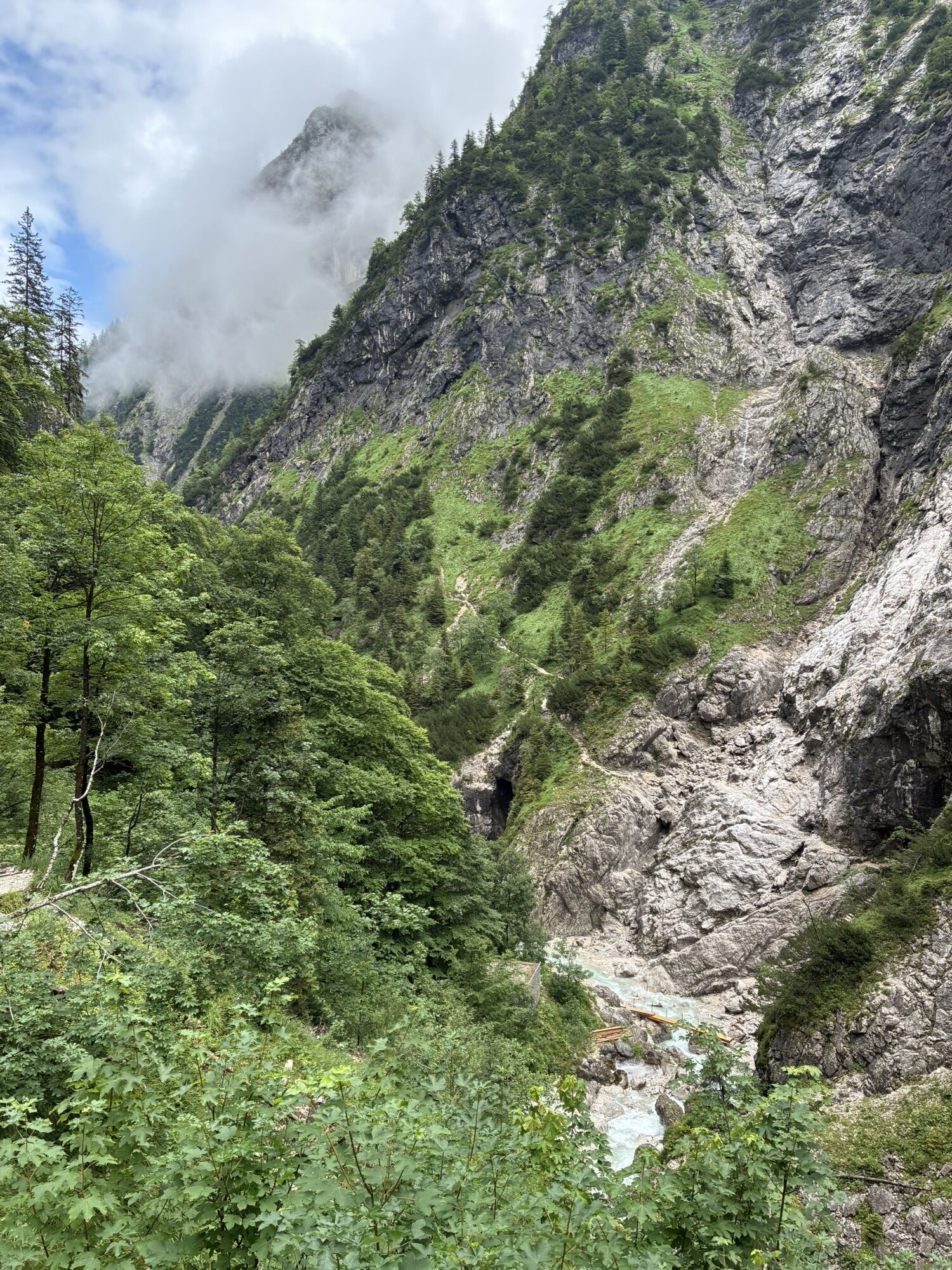
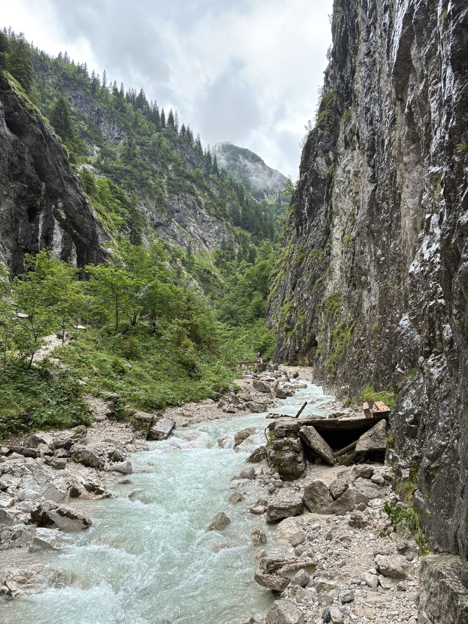
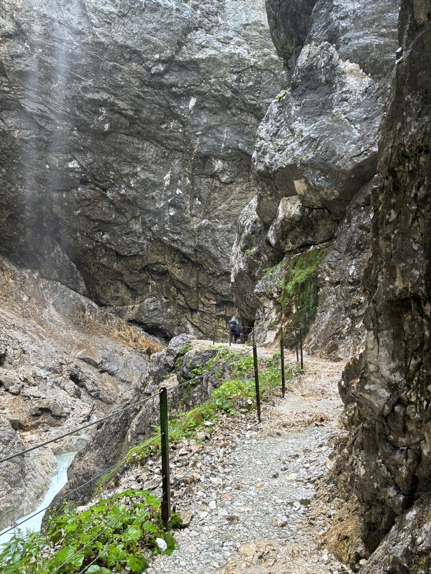
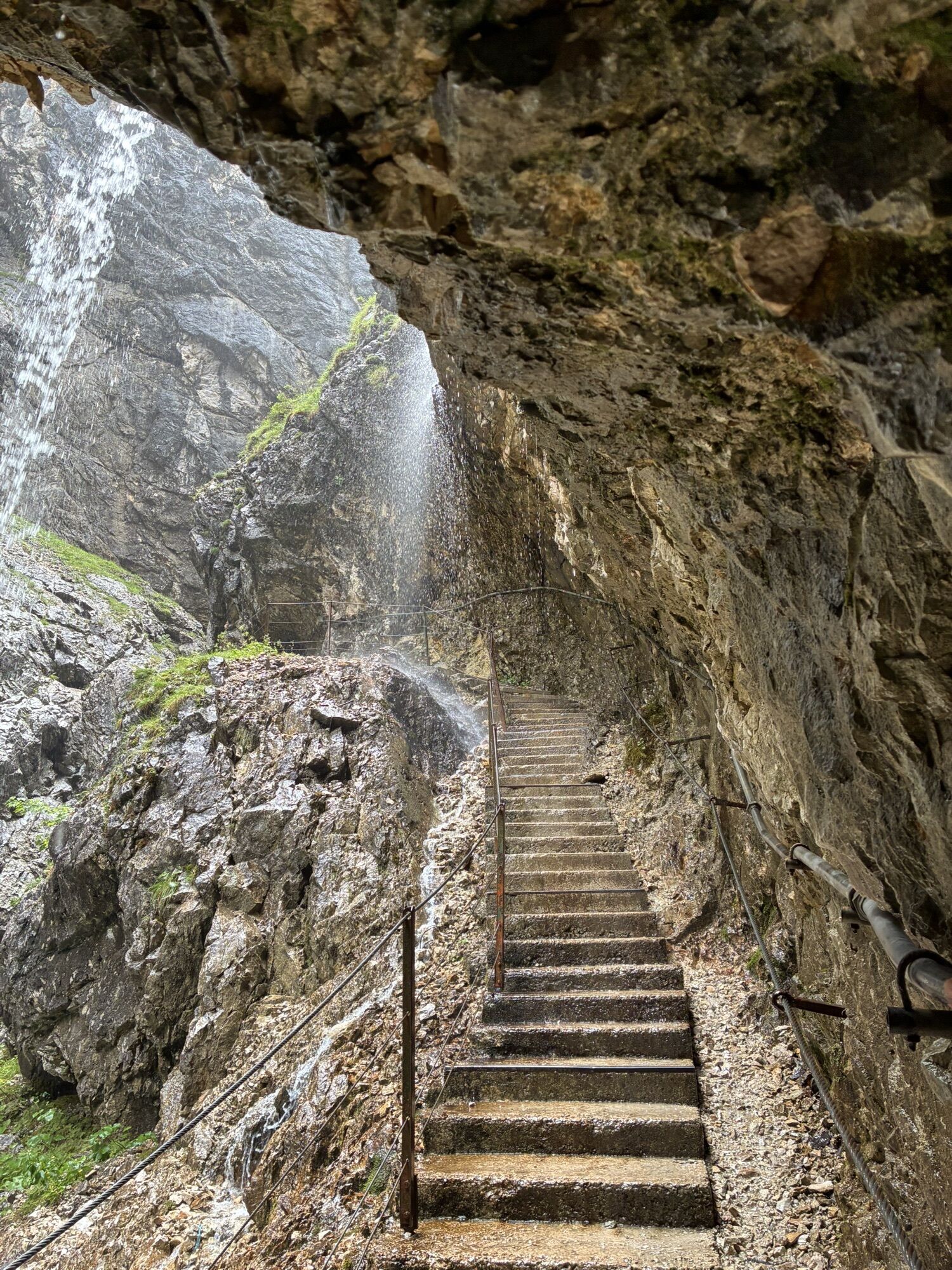
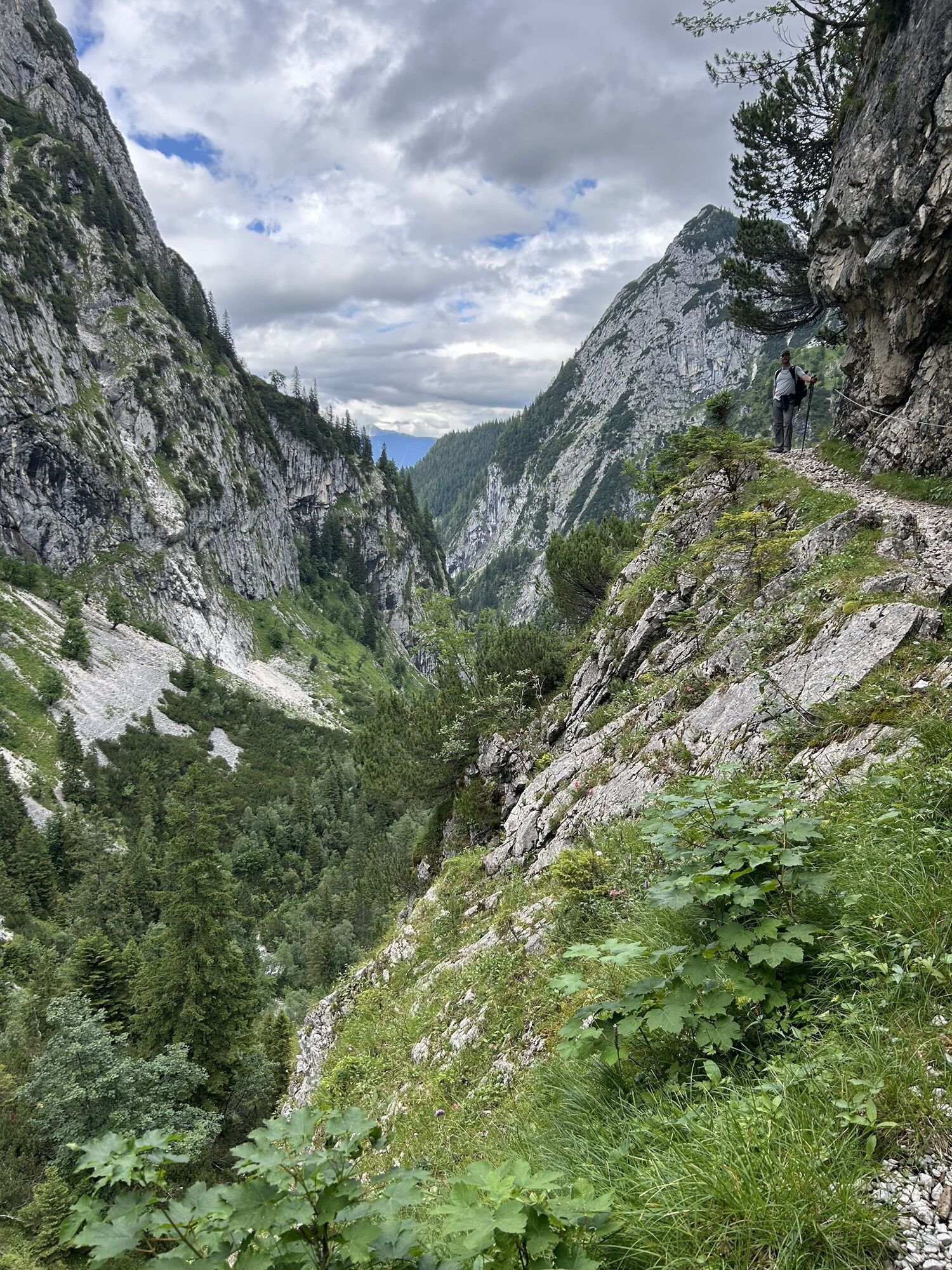
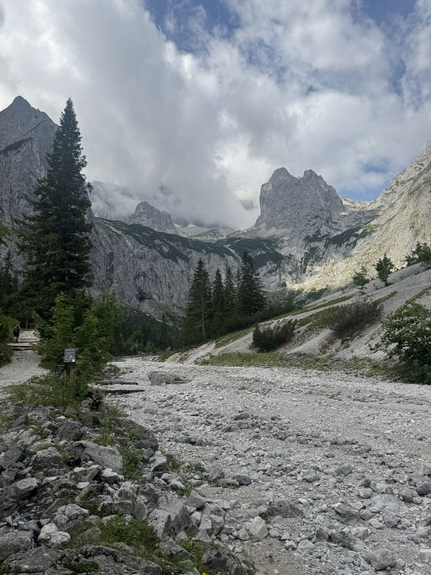
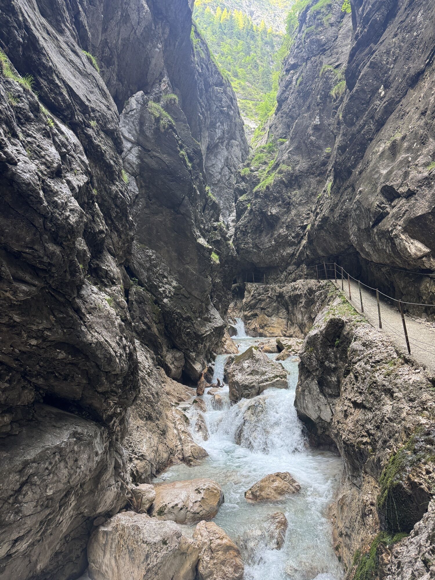
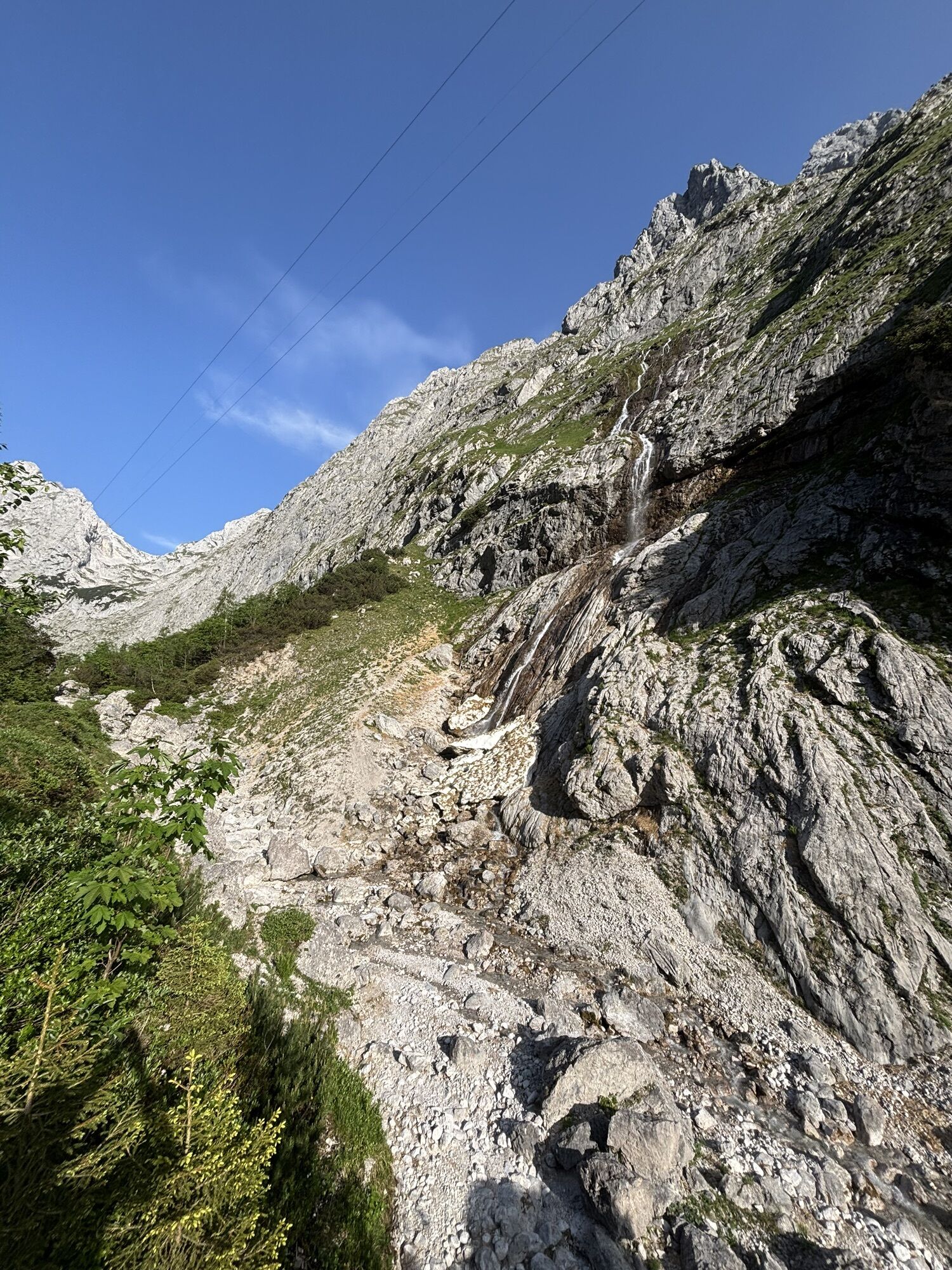
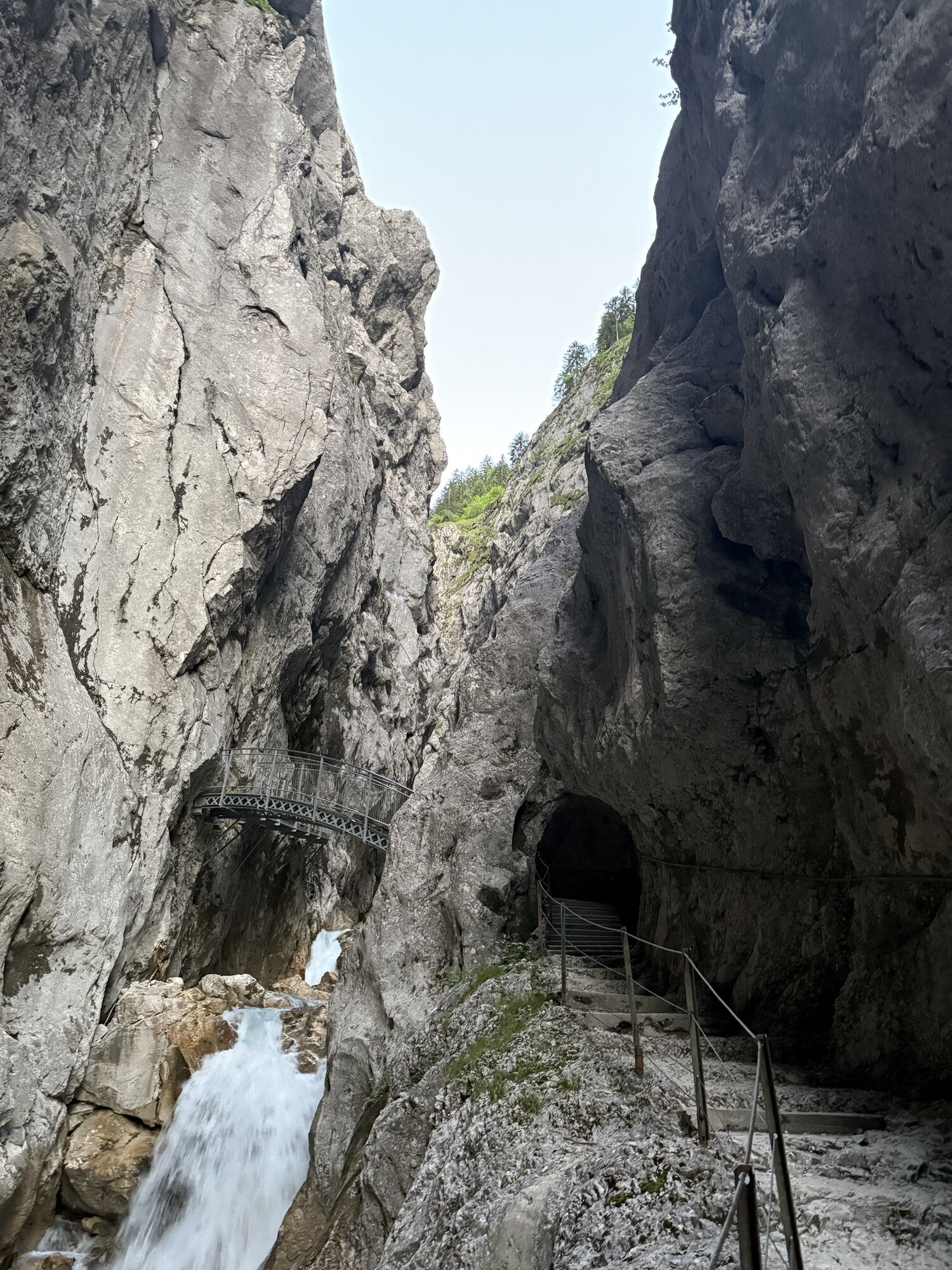
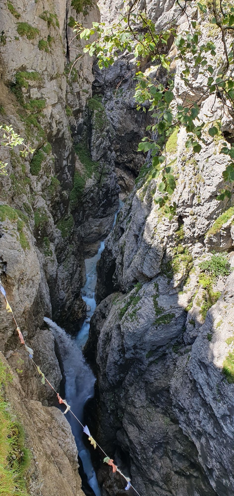
Photos from our users
-
 © Xenia LangeCreated on 27.09.2025
 -
 © Sabine SteuxnerCreated on 15.09.2025
 -
 © Sabine SteuxnerCreated on 15.09.2025
 -

 © Toni0815Created on 31.08.2025
 -
 © Toni0815Created on 31.08.2025
 -
 © Toni0815Created on 31.08.2025
 -
 © Toni0815Created on 31.08.2025
 -
 © Toni0815Created on 31.08.2025
 -
 © Elias TimmCreated on 19.08.2025
 -
 © Elias TimmCreated on 19.08.2025
 -
 © Elias TimmCreated on 19.08.2025
 -
 © Elias TimmCreated on 19.08.2025
 -
 © Elias TimmCreated on 19.08.2025
 -
 © Elias TimmCreated on 19.08.2025
 -
 © SallyCreated on 11.08.2025
 -
 © SallyCreated on 11.08.2025
 -
 © SallyCreated on 11.08.2025
 -
 © SallyCreated on 11.08.2025
 -
 © SallyCreated on 11.08.2025
 -
 © SallyCreated on 11.08.2025
 -

 © Ibo BaurCreated on 29.07.2025
 -
 © Ibo BaurCreated on 29.07.2025
 -
 © Ibo BaurCreated on 29.07.2025
 -
 © Ibo BaurCreated on 29.07.2025
 -
 © Ibo BaurCreated on 29.07.2025
 -
 © Ibo BaurCreated on 29.07.2025
 -
 © Ibo BaurCreated on 29.07.2025
 -
 © Ibo BaurCreated on 29.07.2025
 -
 © Ibo BaurCreated on 29.07.2025
 -
 © Ibo BaurCreated on 29.07.2025
 -
 © Ibo BaurCreated on 29.07.2025
 -

 © Isabell Lo CastroCreated on 22.07.2025
 -
 © Ricardo HerzogCreated on 05.07.2025
 -
 © Ricardo HerzogCreated on 05.07.2025
 -
 © Ricardo HerzogCreated on 05.07.2025
 -

 © Richard BartošCreated on 14.06.2025
 -

 © Anton Rupert VierthalerCreated on 14.06.2025
 -
 © Michael BAUER 14Created on 15.09.2023
 -
 © Niklas SiebachmeyerCreated on 06.08.2024
 -
 © Niklas SiebachmeyerCreated on 06.08.2024
 -
 © Niklas SiebachmeyerCreated on 06.08.2024
 -
 © Niklas SiebachmeyerCreated on 06.08.2024
 -
 © Niklas SiebachmeyerCreated on 06.08.2024
 -
 © Niklas SiebachmeyerCreated on 06.08.2024
 -
 © Niklas SiebachmeyerCreated on 06.08.2024
 -
 © Niklas SiebachmeyerCreated on 06.08.2024
 -
 © Kirill KorovinCreated on 26.05.2024
 -
 © Kirill KorovinCreated on 26.05.2024


No reviews yet
Popular tours in the neighbourhood
-
4,6
Ehrwald / Drachensee / Coburger Hütte / Seebensee
mediumPješačenje 14,8 km -
4,4
Garmisch/ Reintal/ Zugspitze
mediumPješačenje 26,7 km -
4,8
Zugspitze
heavyPješačenje 8,45 km -
4,9
EHRWALD | Seebensee und Drachensee
mediumPješačenje 14,1 km -
5,0
Zugspitze über Stopselziehersteig
heavyPješačenje 12,2 km -
5,0
Bike & Hike Seebensee & Drachensee
mediumMountainbike 15,6 km -
4,4
Kuhfluchtwasserfälle
mediumPješačenje 1,32 km -
4,0
Zugspitze (von Ehrwald über Stopselzieher und über Gatterl zurück)
heavyPješačenje 28,2 km -
4,7
Zugspitze
heavyPješačenje 6,88 km -
4,9
Sebensee/ Coburger Hütte
mediumPješačenje 18,7 km
bergfex Tours

Over 550.000 tour suggestions, detailed maps and an intuitive route planner make the app a must-have for all nature enthusiasts.

Ne propustite ponude i inspiraciju za vaš sljedeći odmor
Subscribe to the newsletter
Error
An error has occurred. Please try again.
Thank you for your registration
Your e-mail address has been added to the mailing list.
Tours throughout Europe
Austrija
Švicarska
Njemačka
Italija
Slovenija
Francuska
Nizozemska
Belgija
Poljska
Lihtenštajn
Češka
Slovačka
Španija
Hrvatska
Bosna i Hercegovina
Luksemburg
Andora
Portugal
Island
Ujedinjeno Kraljevstvo
Irska
Grčka
Albanija
Sjeverna Makedonija
Malta
Norveška
Crna Gora
Moldova
Kosovo
Mađarska
San Marino
Rumunjska
Estonija
Latvija
Bjelorusija
Cipar
Litva
Srbija
Bugarska
Monako
Danska
Švedska
Finska