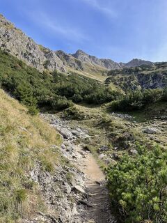
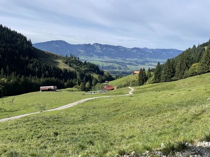
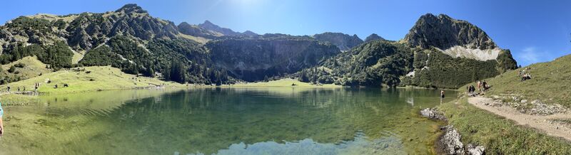
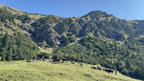
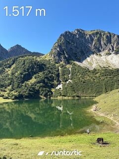
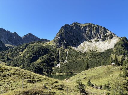
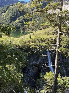
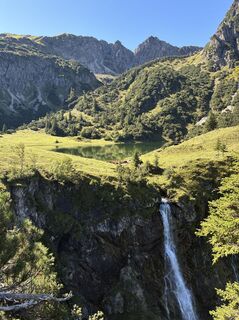
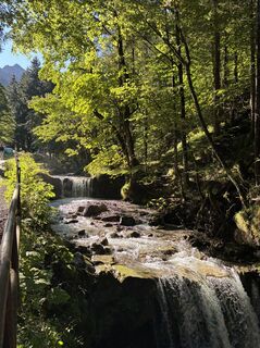
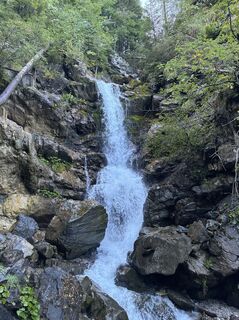
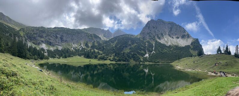
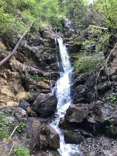
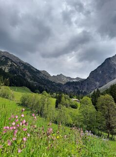
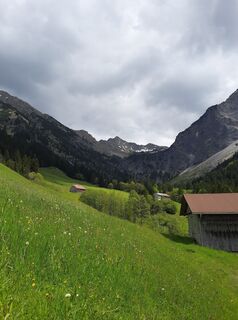
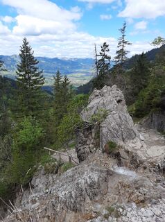
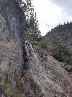
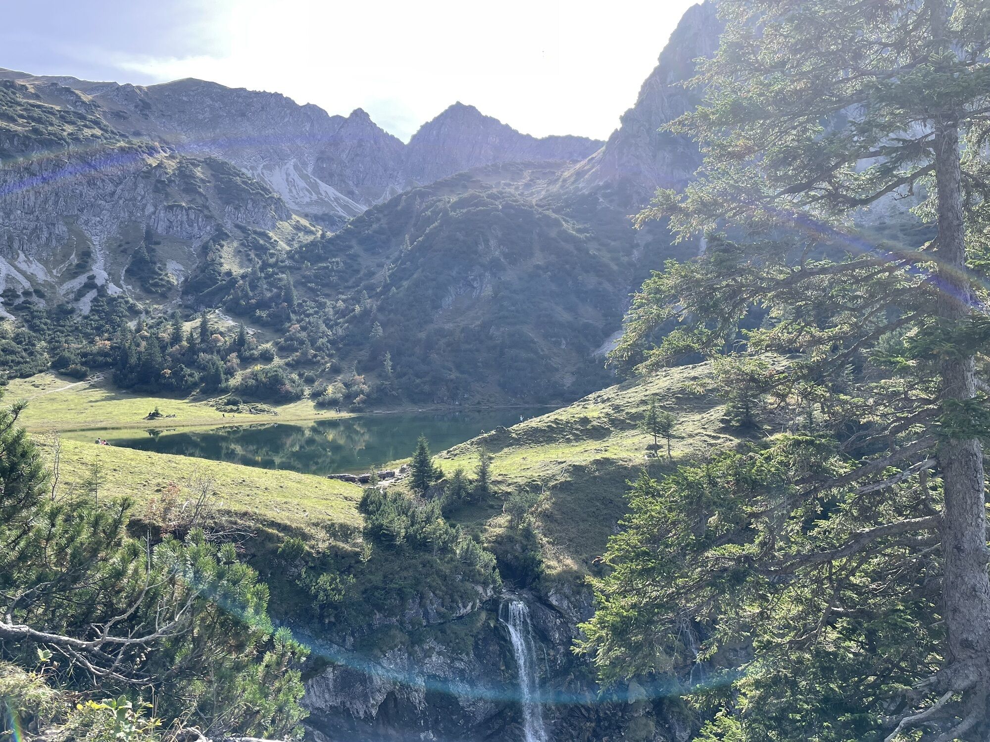
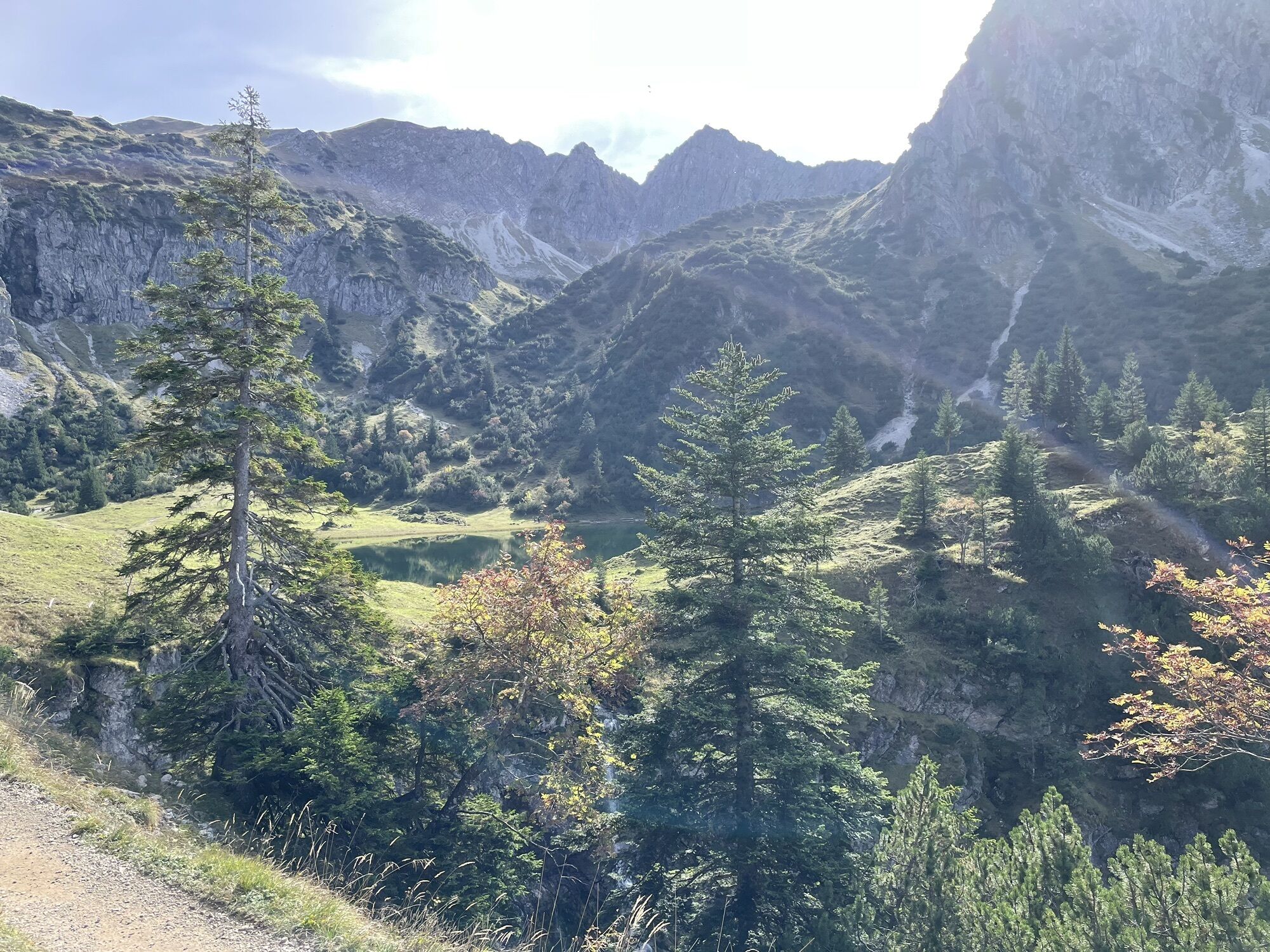
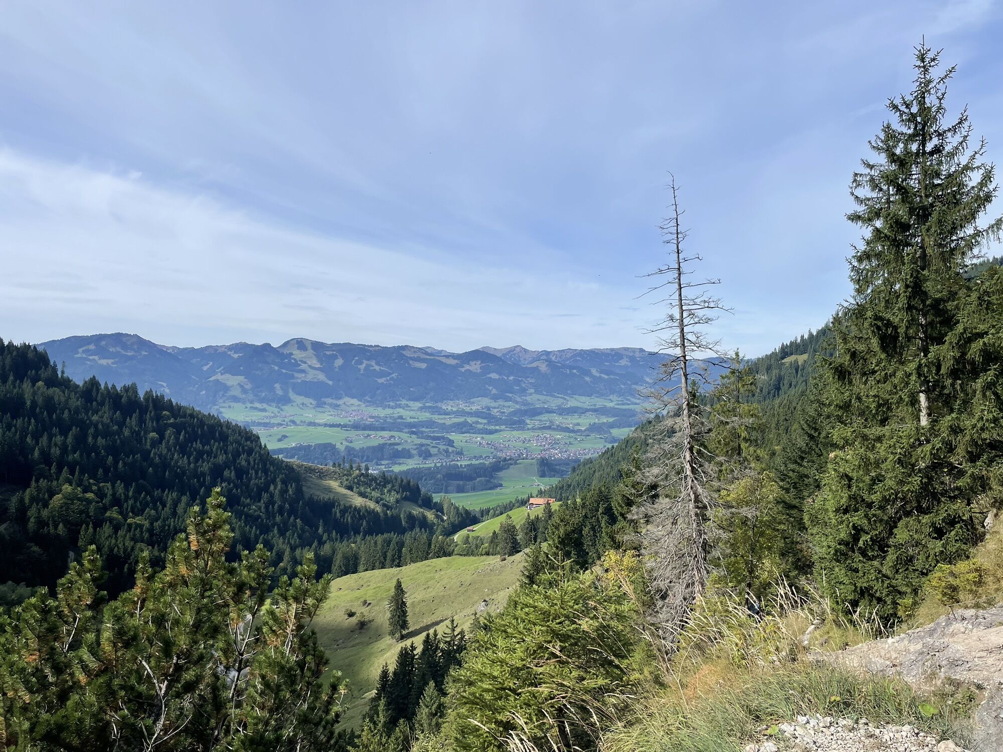
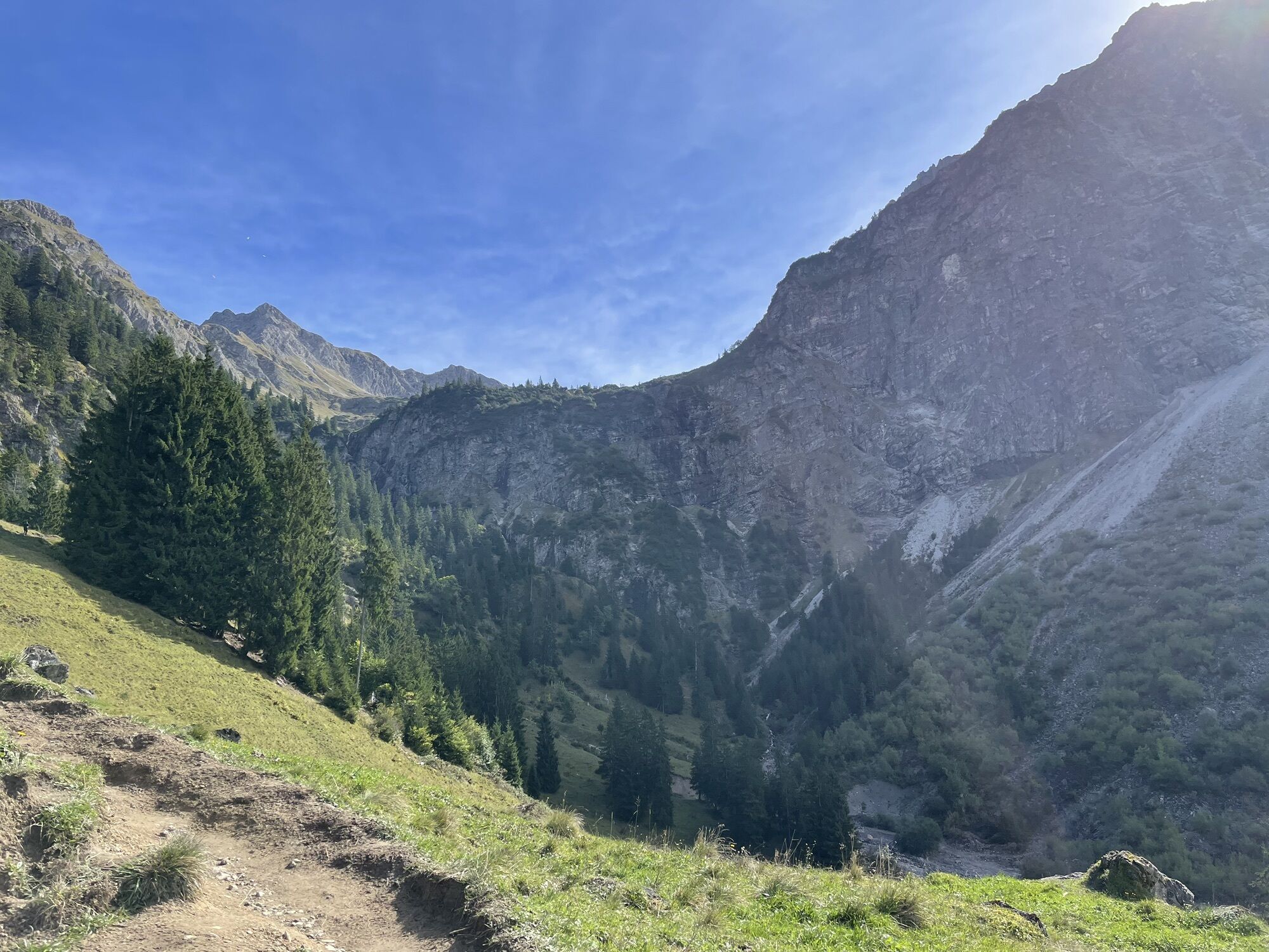
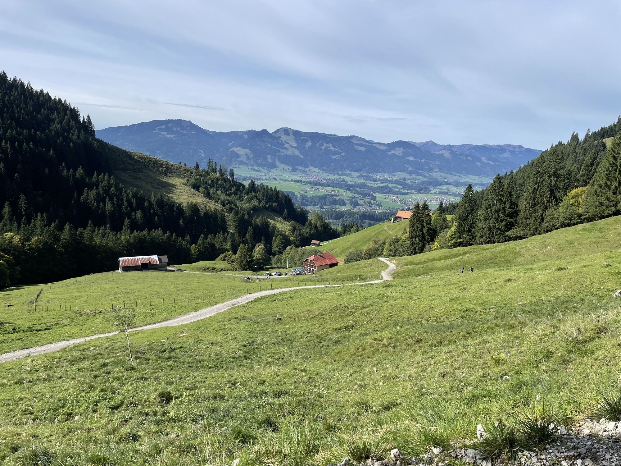
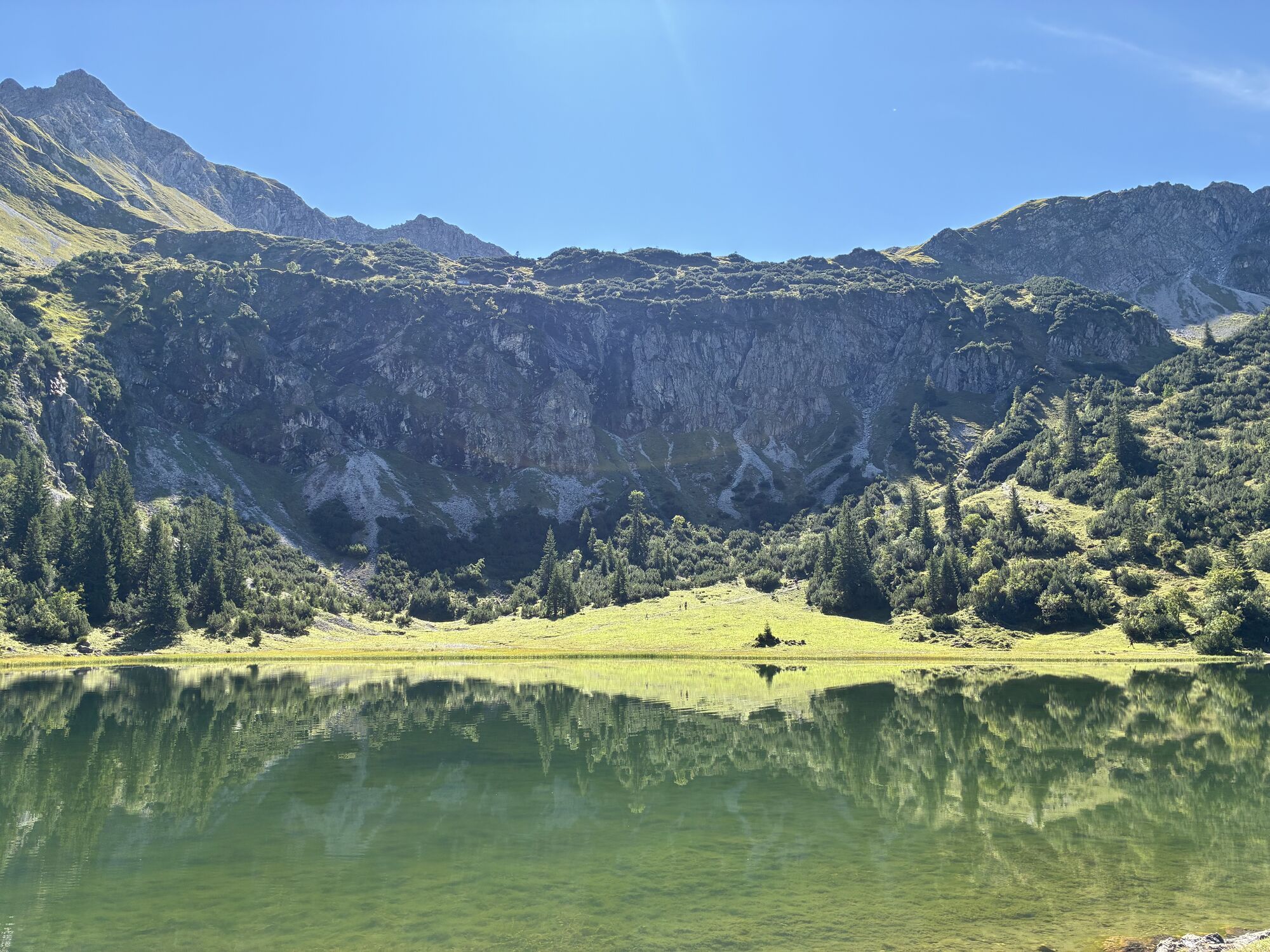
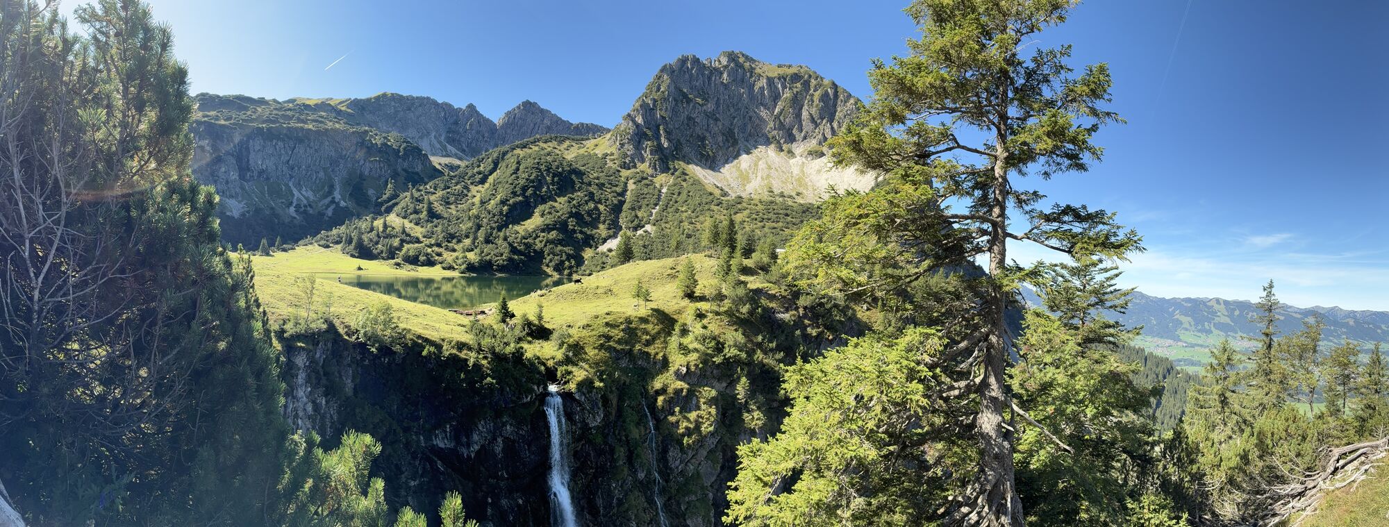
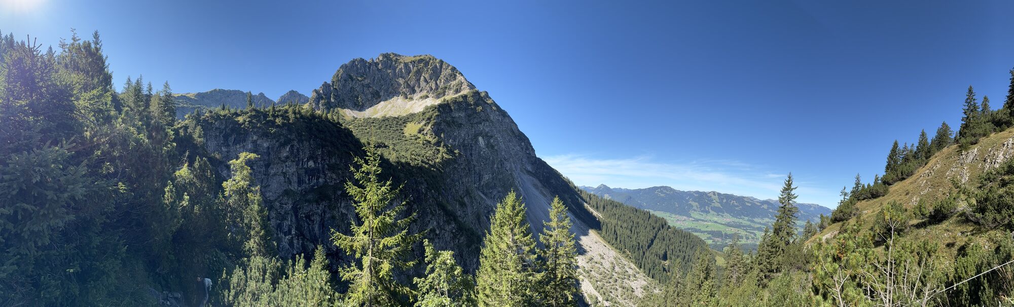
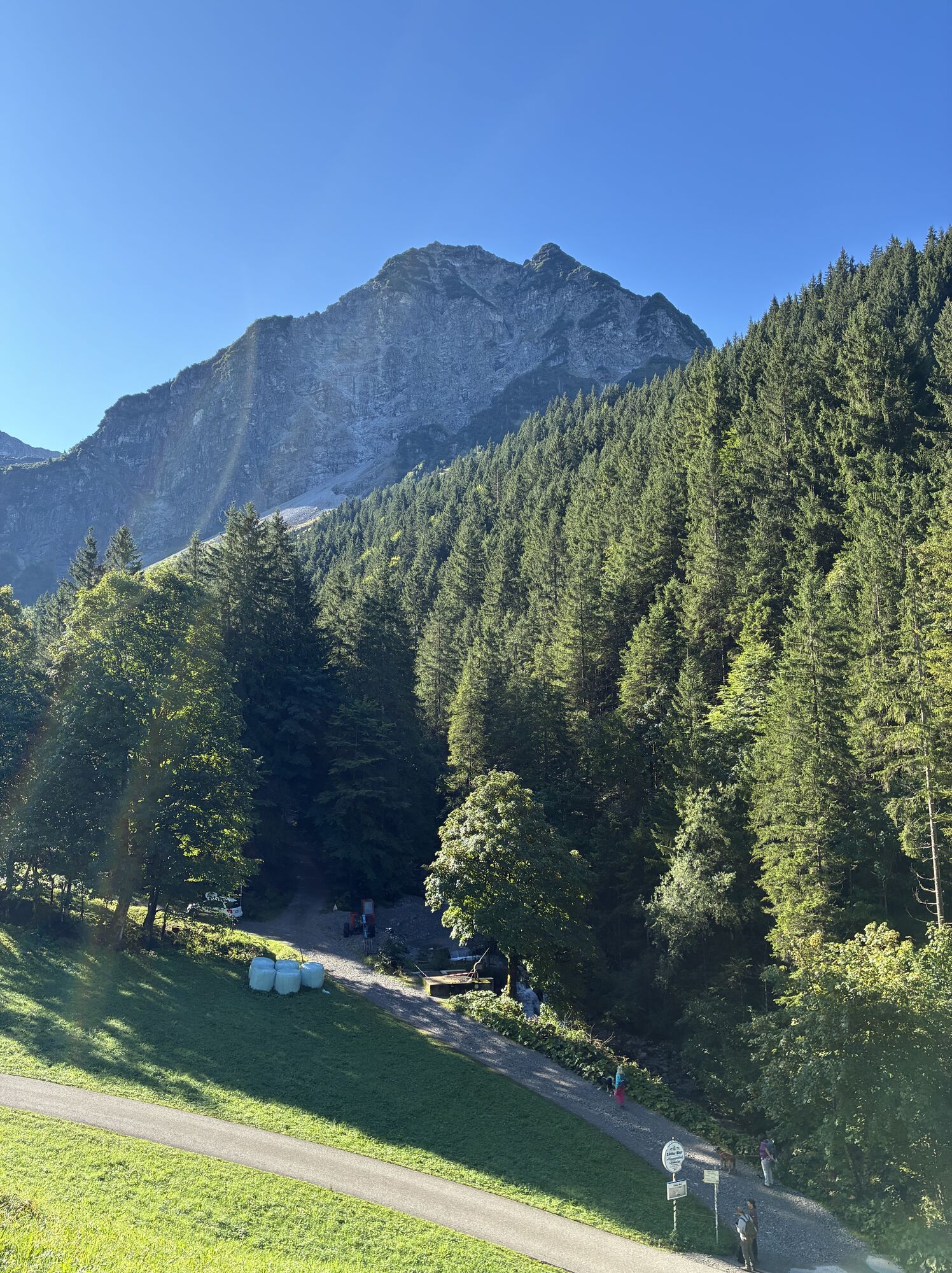
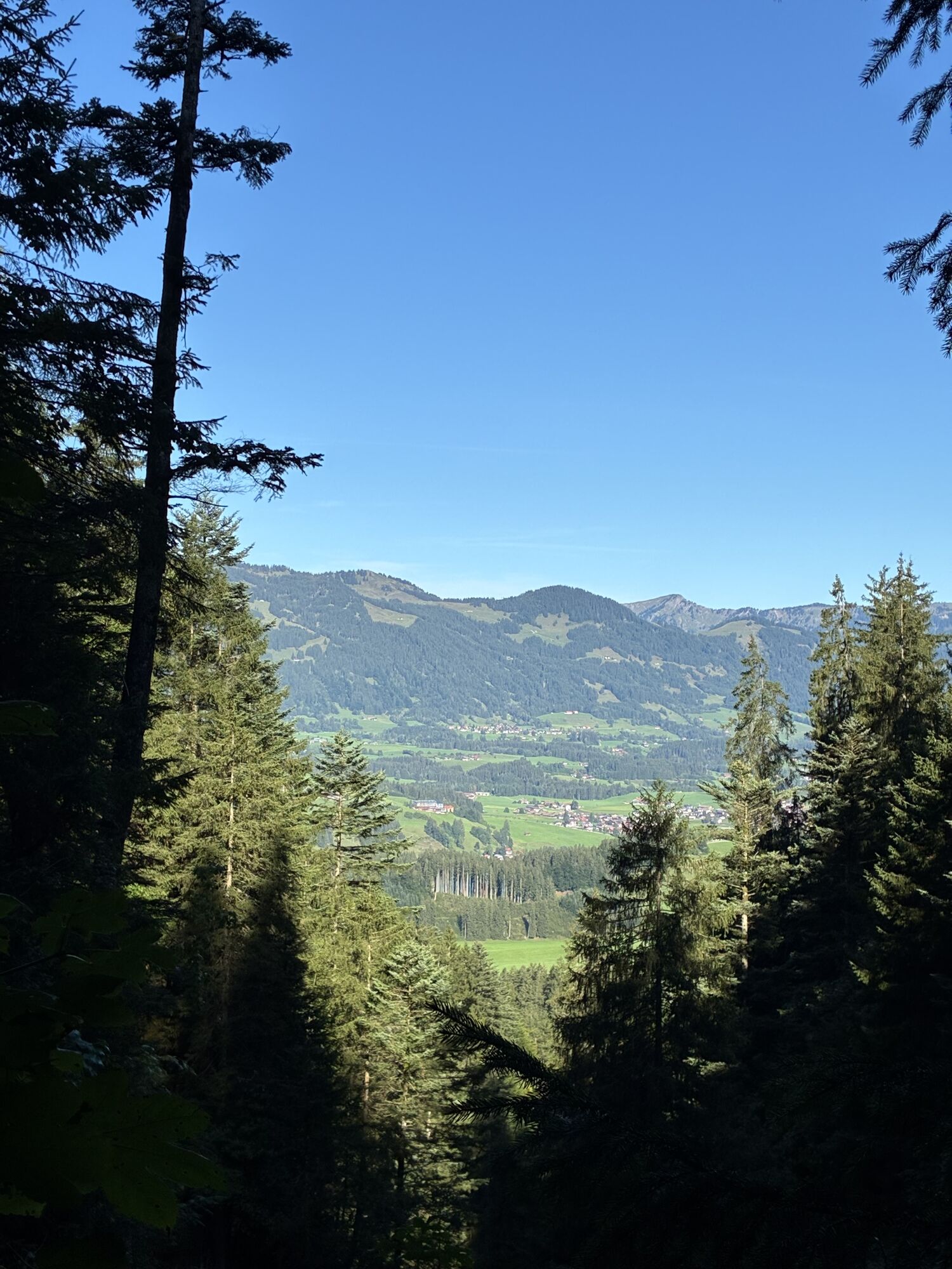
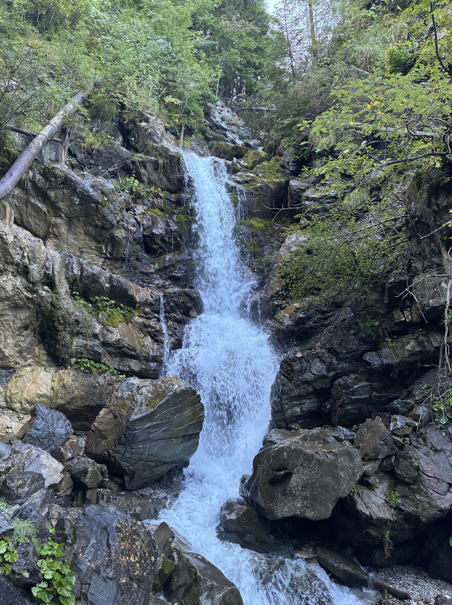
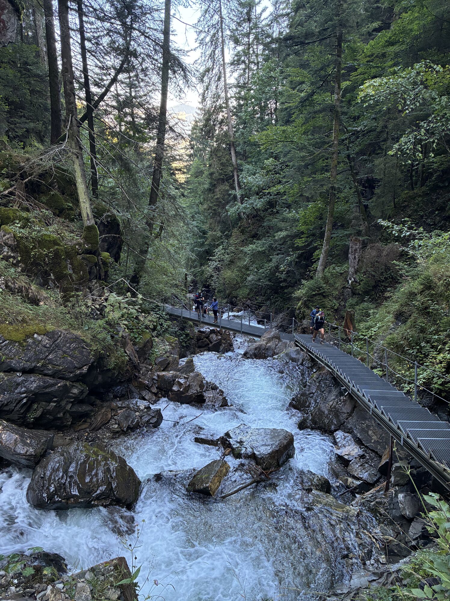
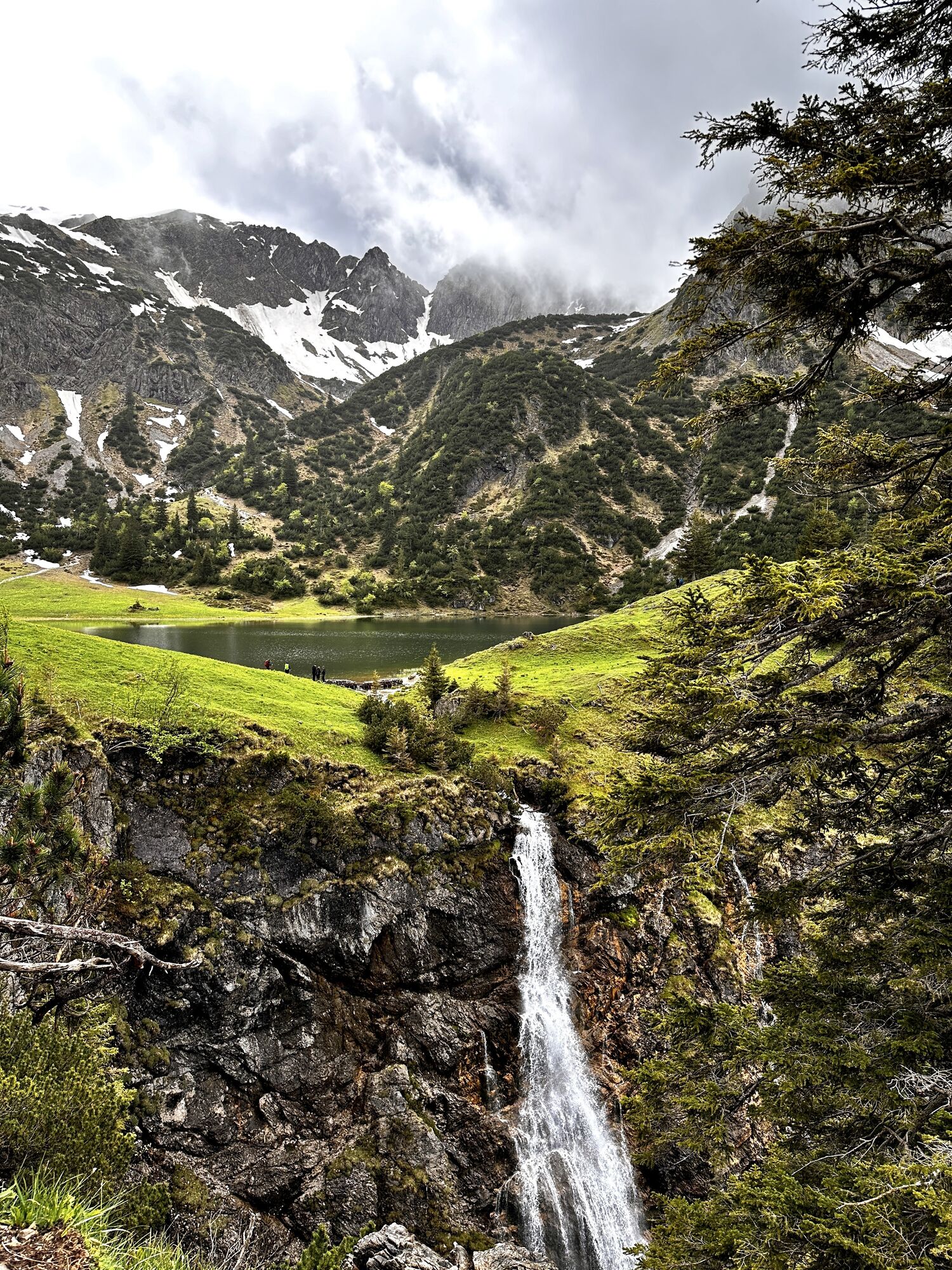
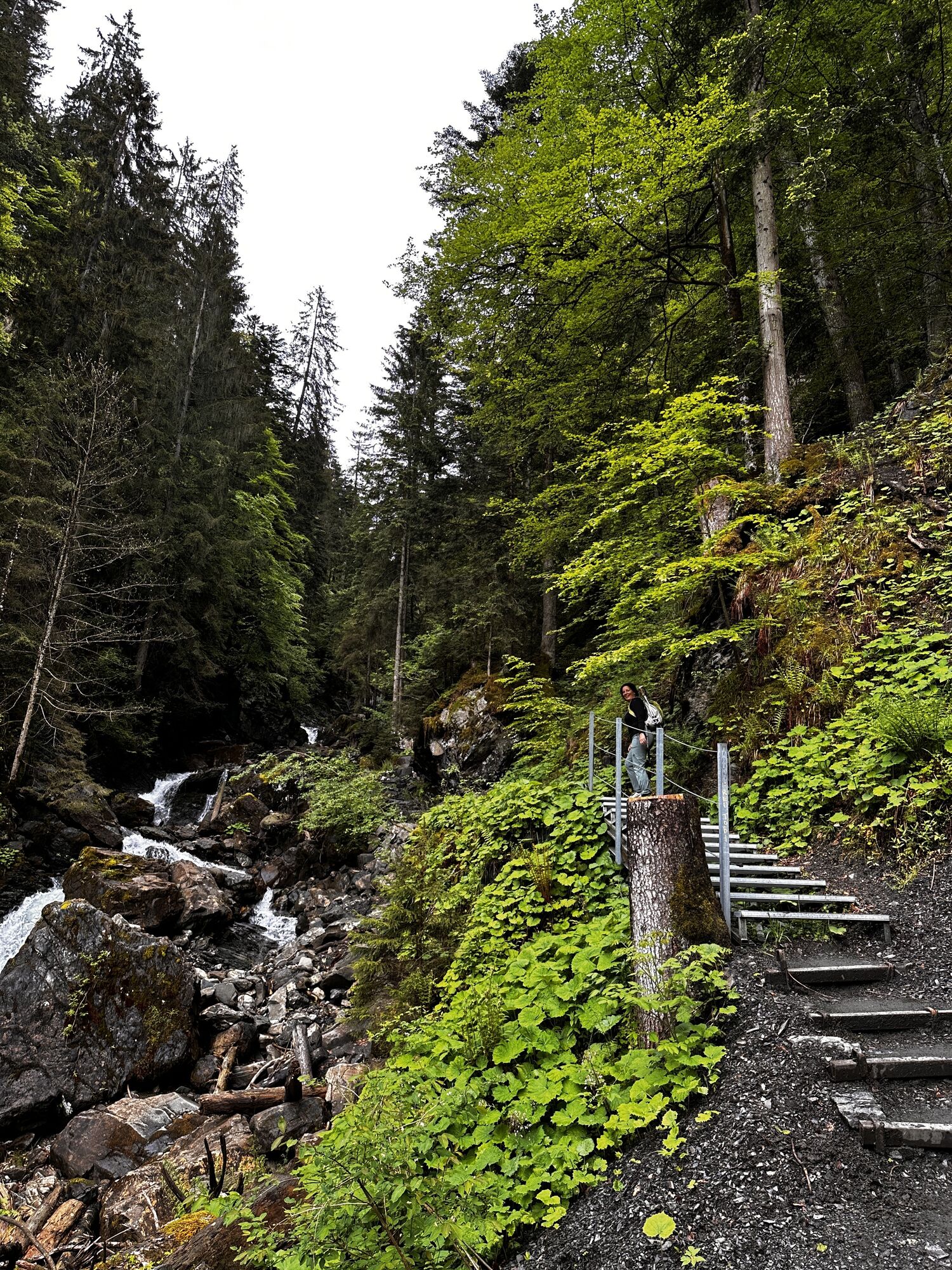
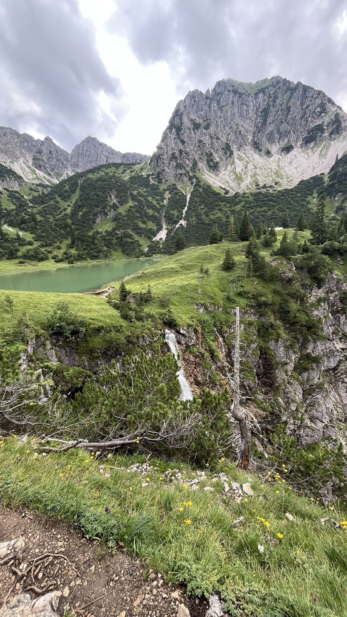
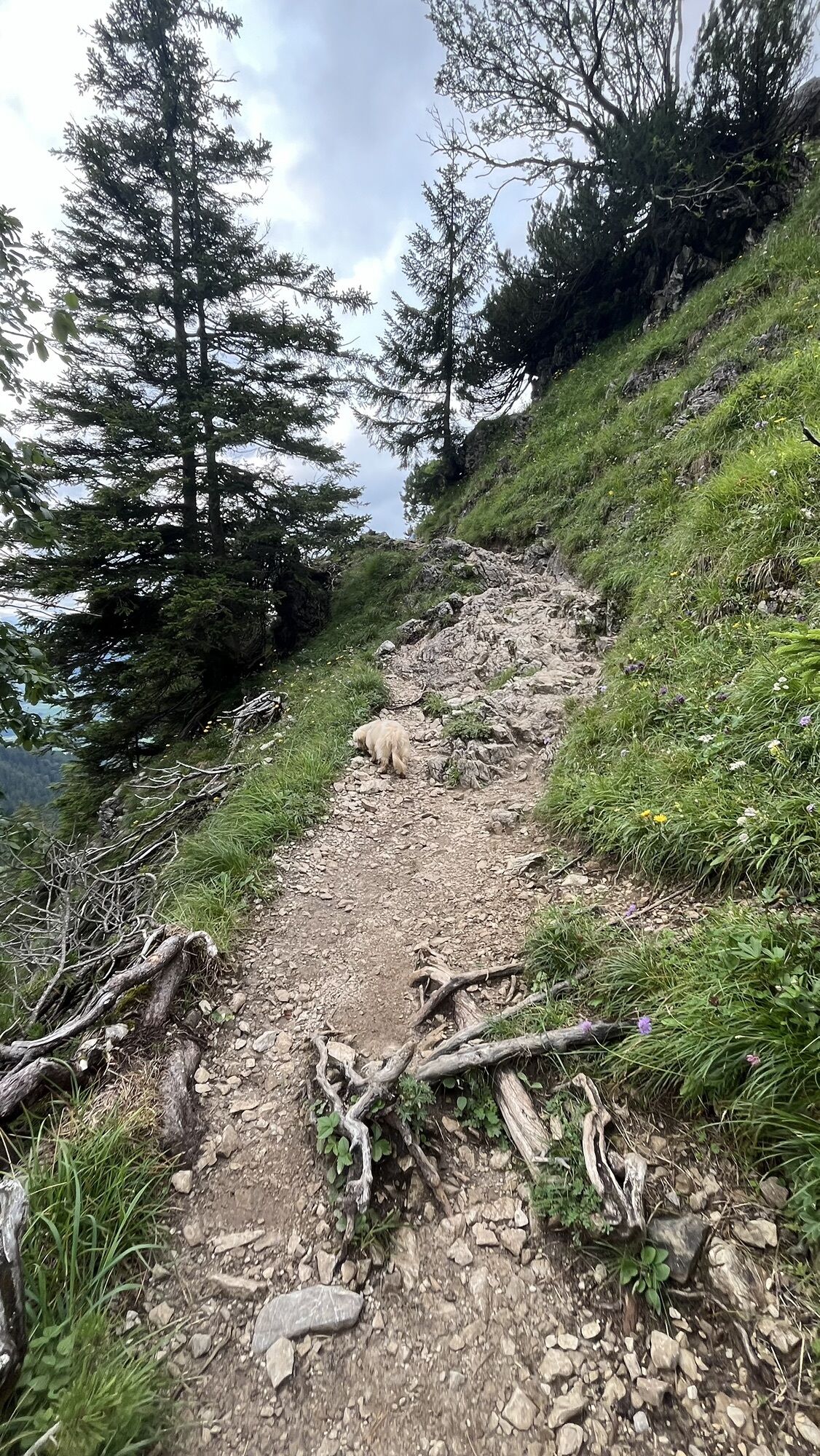
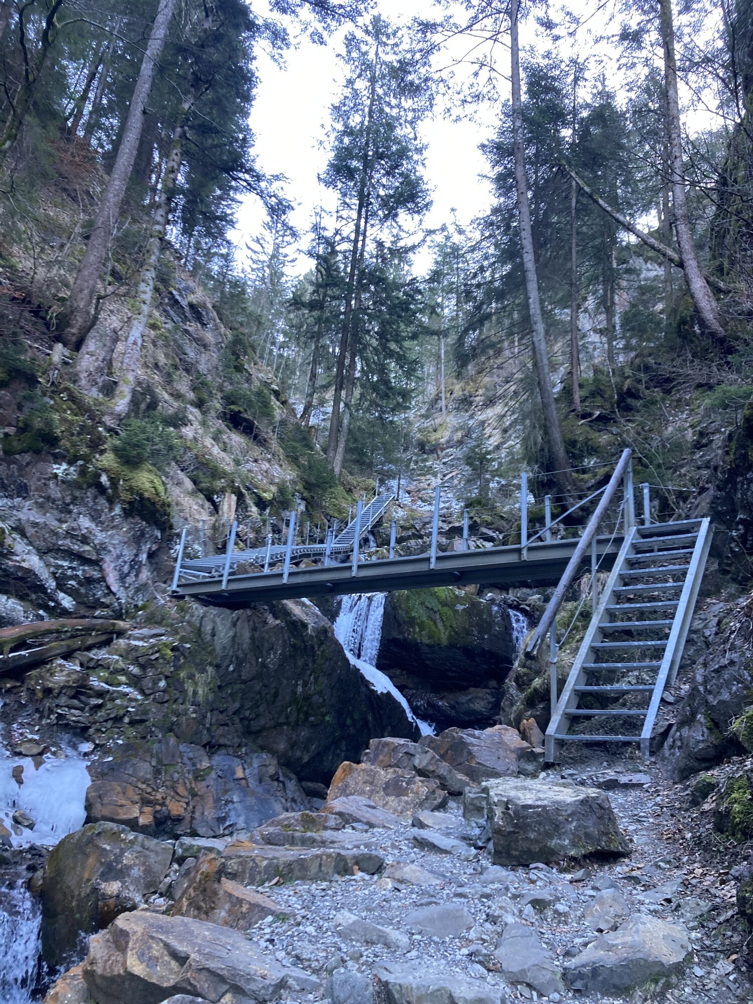
Unterer Gaisalpsee
Pješačenje
Navigate
Navigate
Get this tour on your mobile
Unterer Gaisalpsee
Pješačenje
15,61
km
Scan the QR code and start navigation in the bergfex app

Hiking & Tracking


Distance
15,61
km
Duration
04:55
h
Ascent
882
m
Sea level
783 -
1.523
m
Track download
Unterer Gaisalpsee
Pješačenje
15,61
km


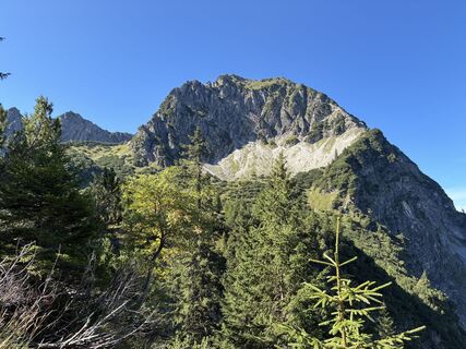
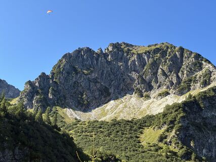
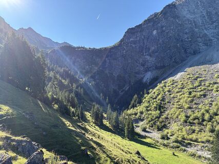
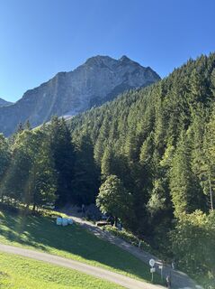
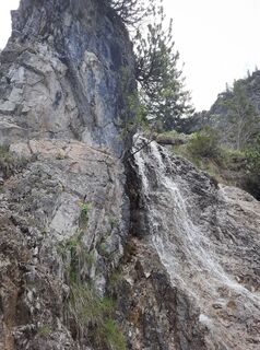
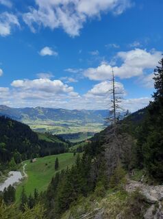
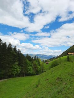
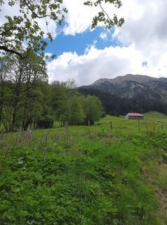
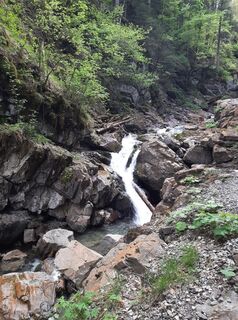
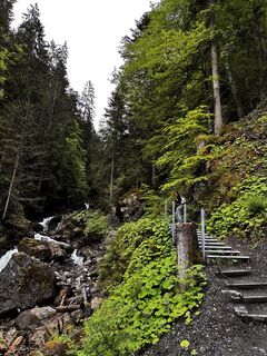
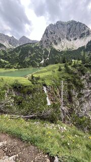
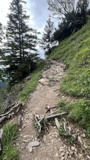
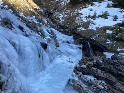
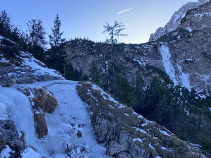
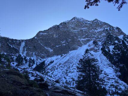
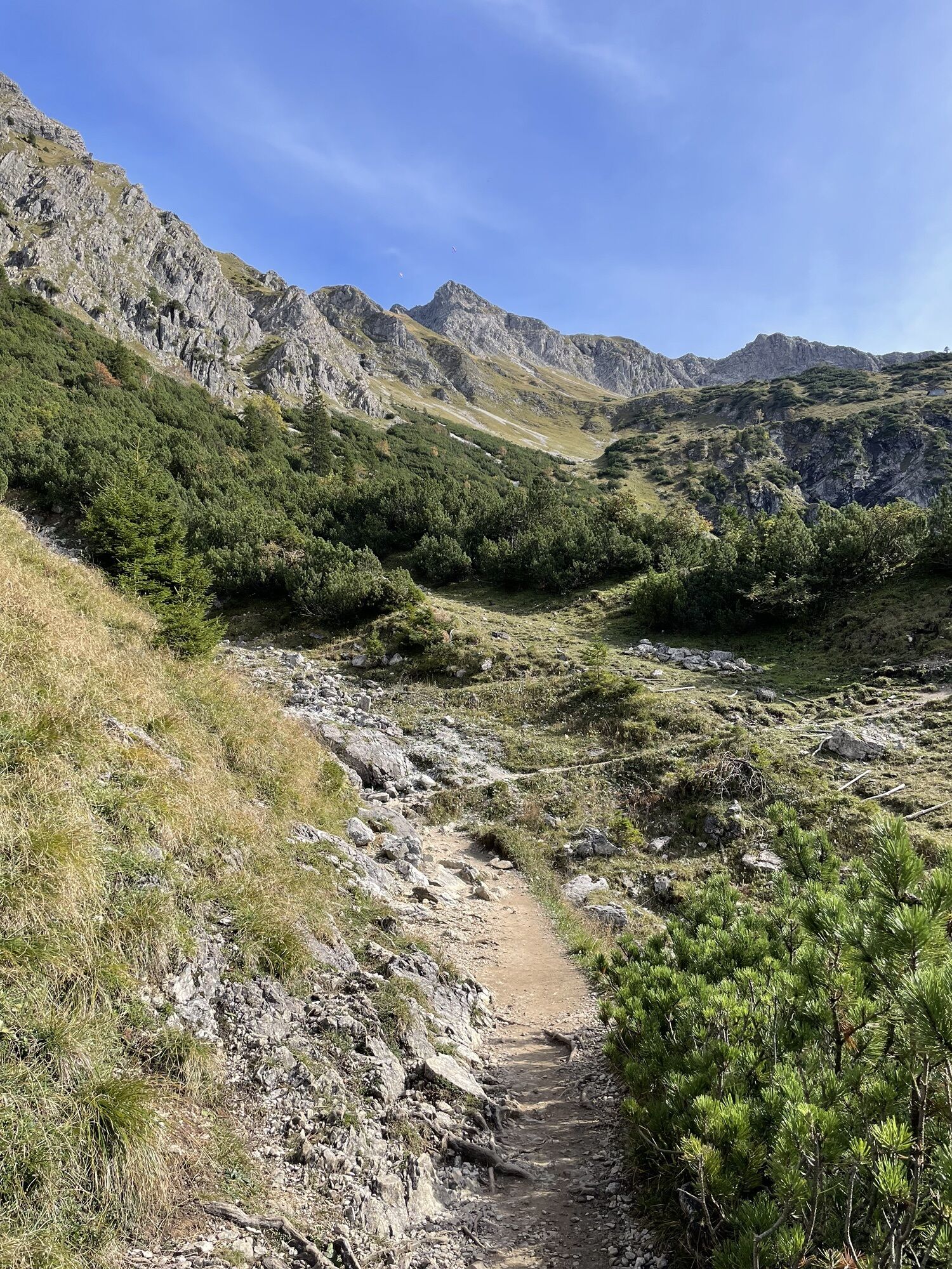
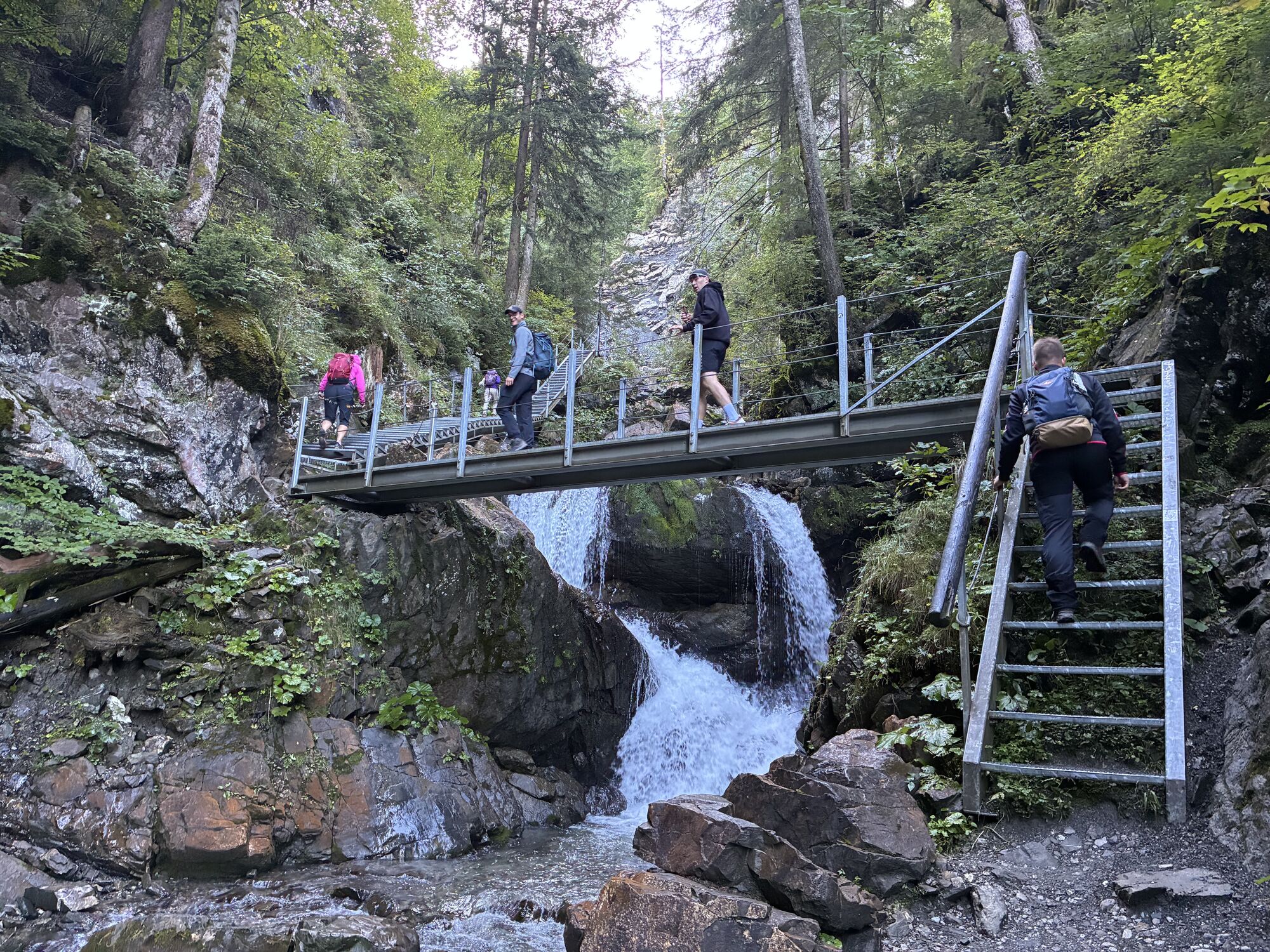
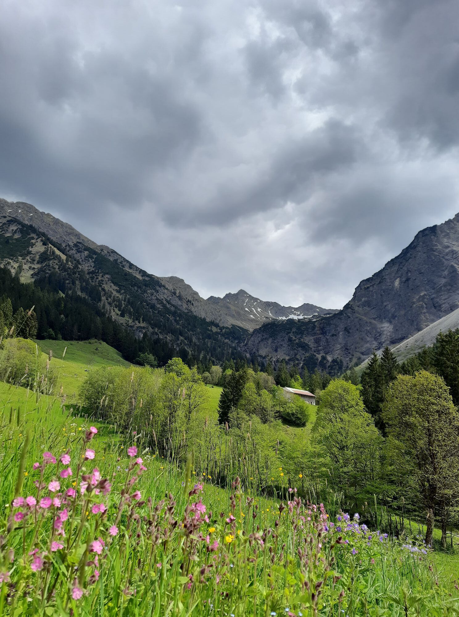
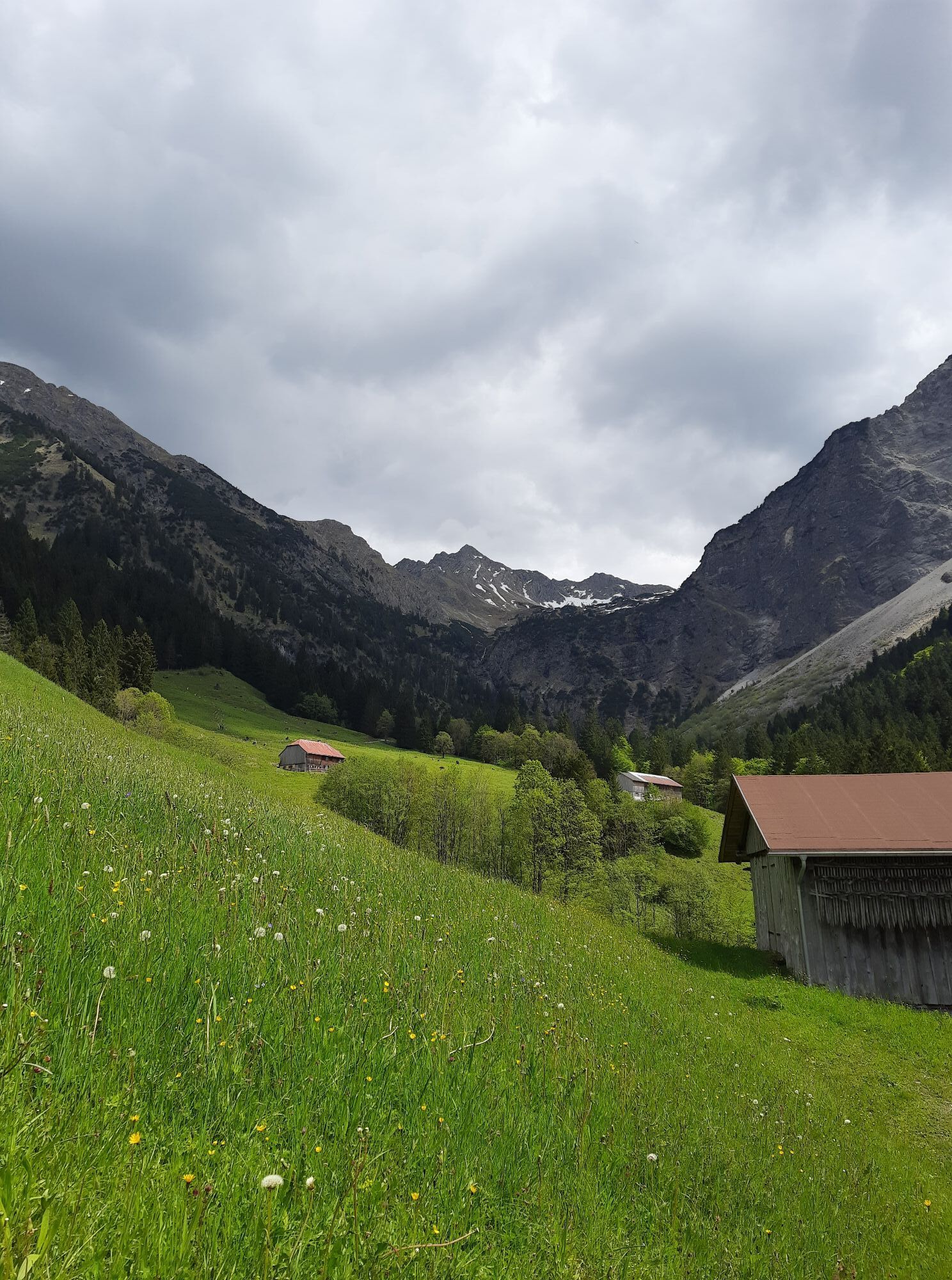
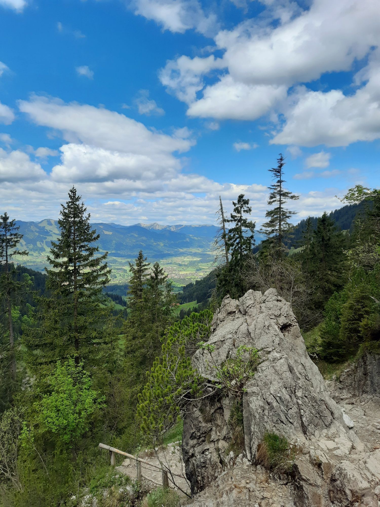
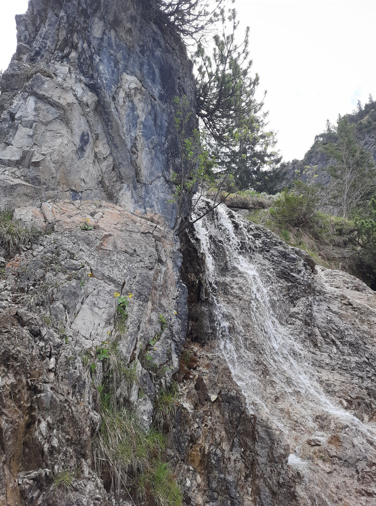
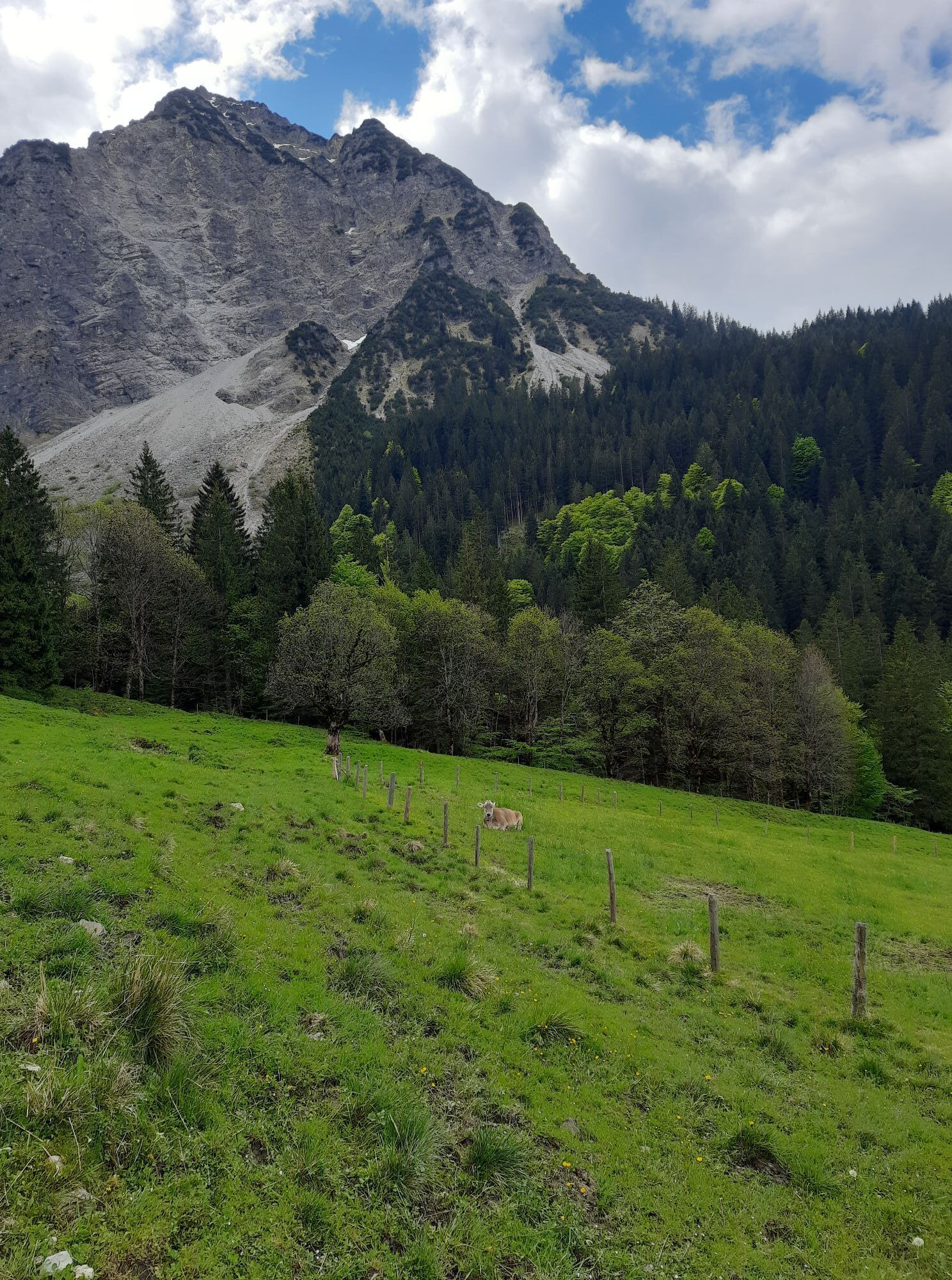
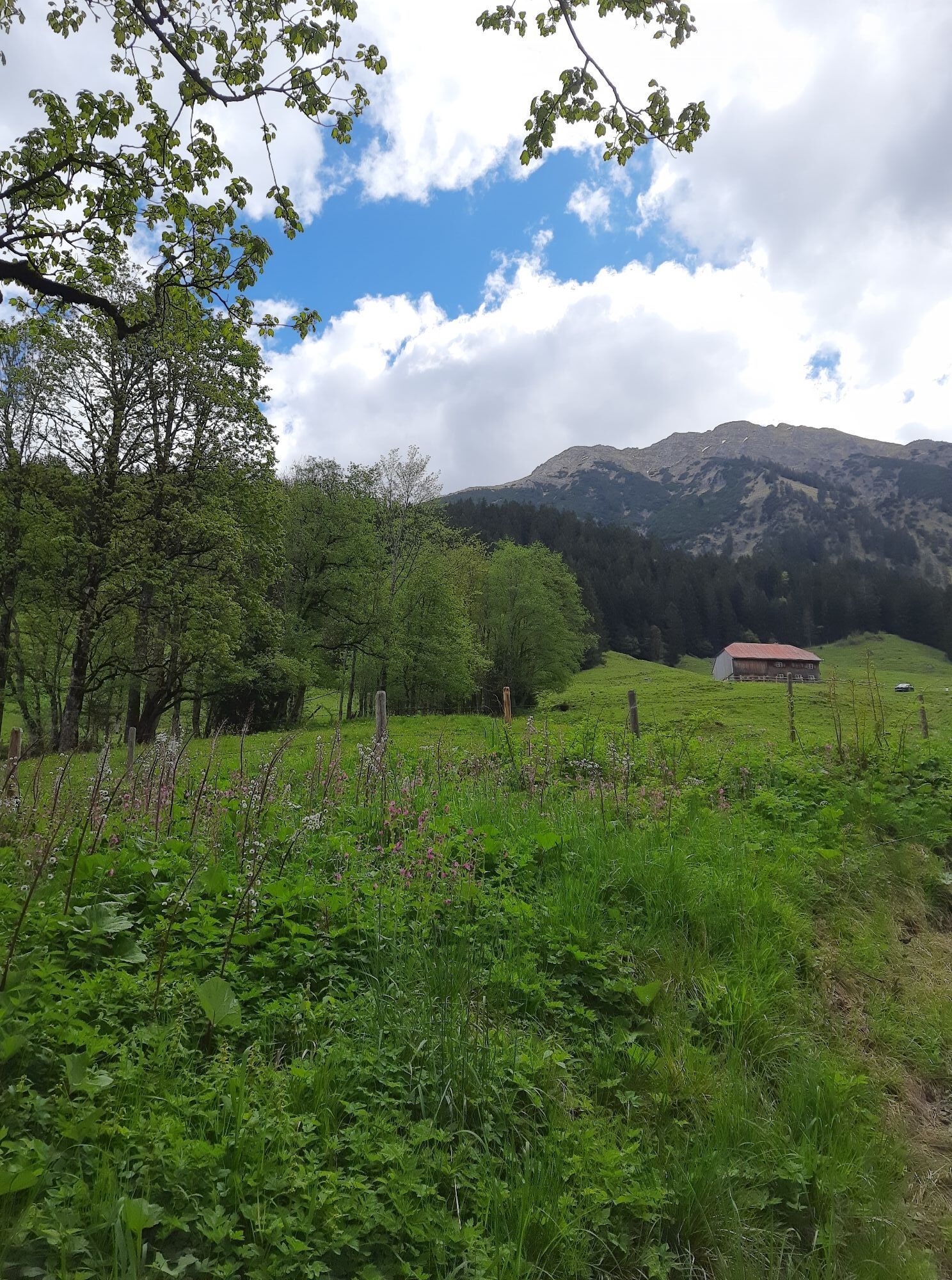
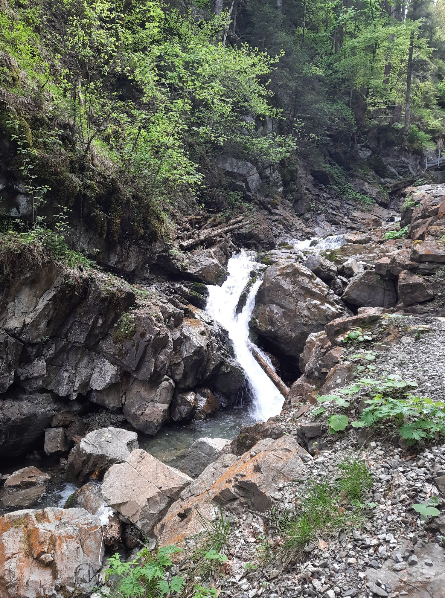
Photos from our users
-
 © Werner FeltenCreated on 03.10.2025
 -
 © Werner FeltenCreated on 03.10.2025
 -
 © Werner FeltenCreated on 03.10.2025
 -
 © Werner FeltenCreated on 03.10.2025
 -
 © Werner FeltenCreated on 03.10.2025
 -
 © Werner FeltenCreated on 03.10.2025
 -
 © Werner FeltenCreated on 03.10.2025
 -

 © Ralf NiethammerCreated on 06.09.2025
 -
 © Ralf NiethammerCreated on 06.09.2025
 -
 © Ralf NiethammerCreated on 06.09.2025
 -
 © Ralf NiethammerCreated on 06.09.2025
 -
 © Ralf NiethammerCreated on 06.09.2025
 -
 © Ralf NiethammerCreated on 06.09.2025
 -
 © Ralf NiethammerCreated on 06.09.2025
 -
 © Ralf NiethammerCreated on 06.09.2025
 -
 © Ralf NiethammerCreated on 06.09.2025
 -
 © Ralf NiethammerCreated on 06.09.2025
 -
 © Ralf NiethammerCreated on 06.09.2025
 -
 © Ralf NiethammerCreated on 06.09.2025
 -
 © Ralf NiethammerCreated on 06.09.2025
 -
 © Ralf NiethammerCreated on 06.09.2025
 -
 © Ralf NiethammerCreated on 06.09.2025
 -
 © Ralf NiethammerCreated on 06.09.2025
 -
 © Ralf NiethammerCreated on 06.09.2025
 -
 © Ralf NiethammerCreated on 06.09.2025
 -
 © Gert SchulzCreated on 24.08.2025
 -
 © Martin HentschelCreated on 31.05.2025
 -
 © wanderheld_2468Created on 16.05.2025
 -
 © wanderheld_2468Created on 16.05.2025
 -
 © wanderheld_2468Created on 16.05.2025
 -
 © wanderheld_2468Created on 16.05.2025
 -
 © wanderheld_2468Created on 16.05.2025
 -
 © wanderheld_2468Created on 16.05.2025
 -
 © wanderheld_2468Created on 16.05.2025
 -
 © wanderheld_2468Created on 16.05.2025
 -
 © wanderheld_2468Created on 16.05.2025
 -
 © wanderheld_2468Created on 16.05.2025
 -
 © wanderheld_2468Created on 16.05.2025
 -

 © Frank SöntgerathCreated on 27.02.2025
 -
 © W.M.Created on 22.05.2024
 -
 © W.M.Created on 22.05.2024
 -
 © Maja Mariann NagyCreated on 24.07.2024
 -
 © Maja Mariann NagyCreated on 24.07.2024
 -
 © Jochen.GreimCreated on 21.01.2025
 -
 © Jochen.GreimCreated on 21.01.2025
 -
 © Jochen.GreimCreated on 21.01.2025
 -
 © Jochen.GreimCreated on 21.01.2025


No reviews yet
Popular tours in the neighbourhood
-
4,4
Mountain tour over the Fellhorn ridge
mediumPješačenje 8,24 km -
4,6
3-Seen Rundtour Vilsalpsee / Schrecksee / Traualpsee
mediumPješačenje 17,1 km -
4,6
Rubihorn
mediumPješačenje 9,06 km -
4,8
3-Gipfel-Tour
mediumPješačenje 11,2 km -
4,7
Kanzelwand nach Söllereck
mediumPješačenje 8,58 km -
4,2
Kanzelwand- Fellhorn- Kanzelwand
lightPješačenje 7,60 km -
4,8
Bad Hindelang, Hinterstein, Deutschland
mediumPješačenje 14,1 km -
4,8
Hindelanger Klettersteig ab Edmund-Probst-Haus + Rückweg
mediumVia ferrata 10,7 km -
4,9
E5 - 1. Etappe: Oberstdorf - Kemptner Hütte
lightDaljinska planinarska staza 7,80 km -
4,7
Unterer Gaisalpsee
mediumPuna brzina 8,64 km

bergfex Tours

Over 550.000 tour suggestions, detailed maps and an intuitive route planner make the app a must-have for all nature enthusiasts.

Ne propustite ponude i inspiraciju za vaš sljedeći odmor
Subscribe to the newsletter
Error
An error has occurred. Please try again.
Thank you for your registration
Your e-mail address has been added to the mailing list.
Tours throughout Europe
Austrija
Švicarska
Njemačka
Italija
Slovenija
Francuska
Nizozemska
Belgija
Poljska
Lihtenštajn
Češka
Slovačka
Španija
Hrvatska
Bosna i Hercegovina
Luksemburg
Andora
Portugal
Island
Ujedinjeno Kraljevstvo
Irska
Grčka
Albanija
Sjeverna Makedonija
Malta
Norveška
Crna Gora
Moldova
Kosovo
Mađarska
San Marino
Rumunjska
Estonija
Latvija
Bjelorusija
Cipar
Litva
Srbija
Bugarska
Monako
Danska
Švedska
Finska