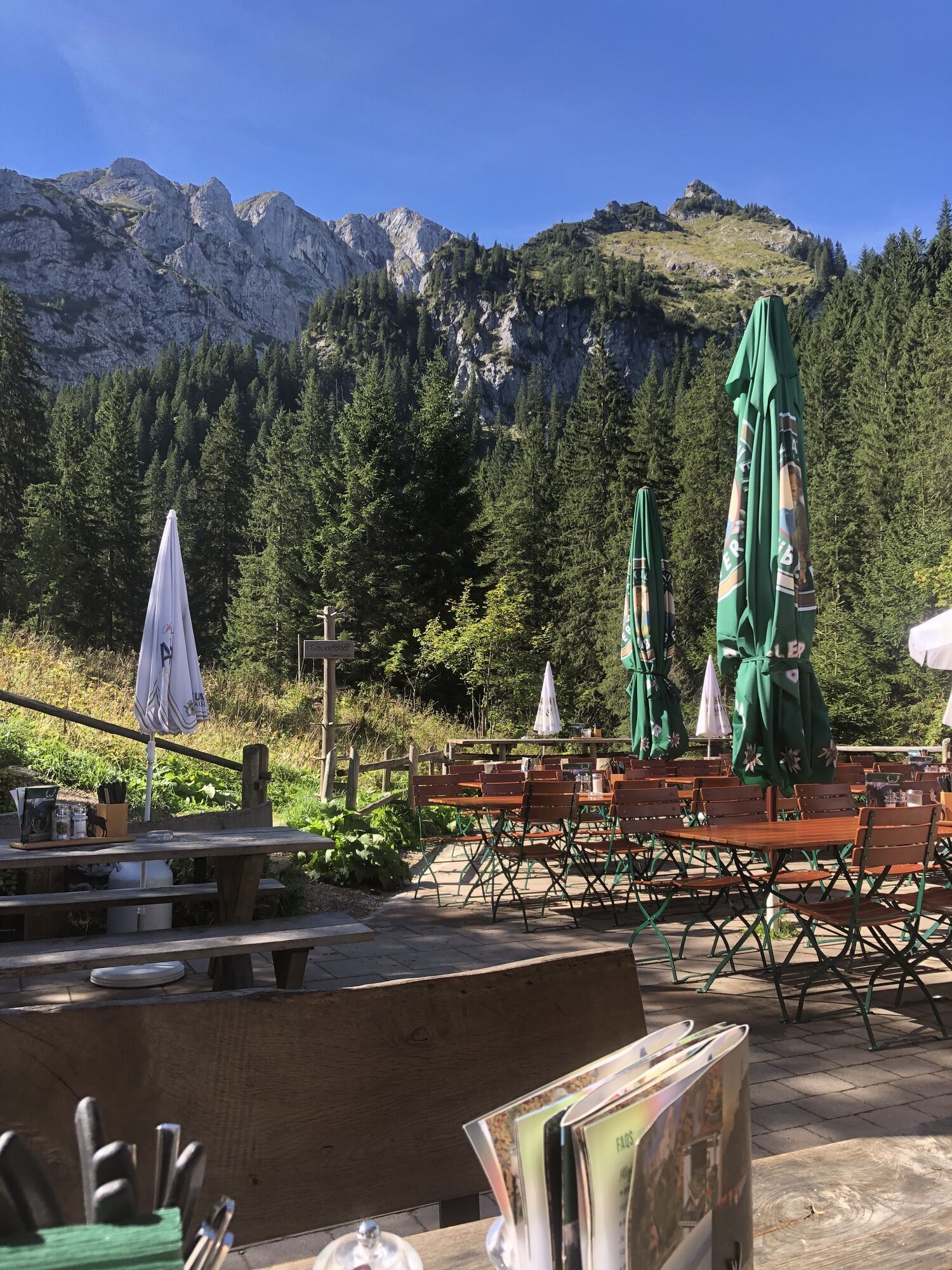
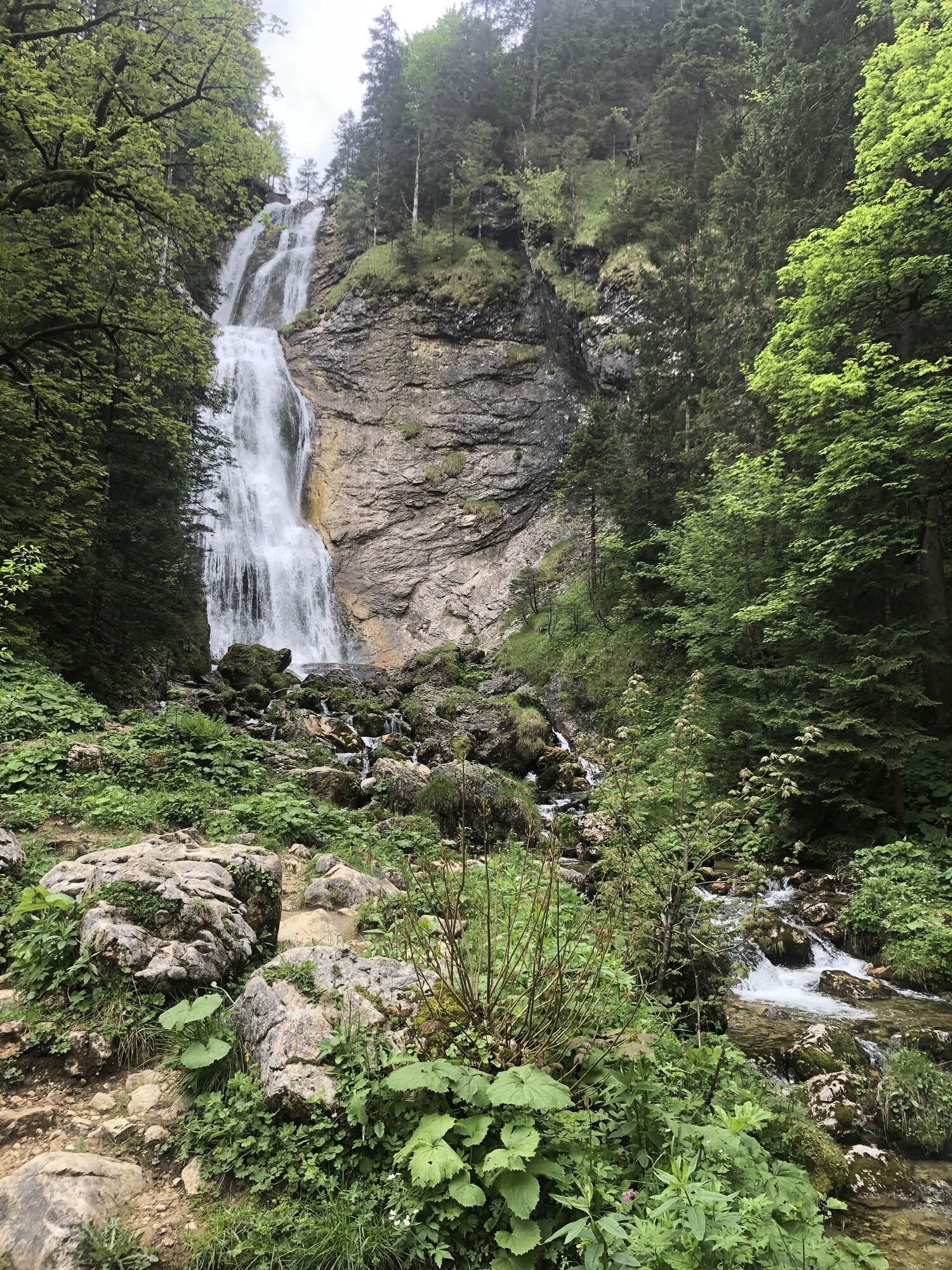
Kenzenhütte
Pješačenje
Navigate
Navigate
Get this tour on your mobile
Kenzenhütte
Pješačenje
13,56
km
Scan the QR code and start navigation in the bergfex app

Hiking & Tracking


Distance
13,56
km
Duration
05:11
h
Ascent
512
m
Sea level
909 -
1.297
m
Track download
Kenzenhütte
Pješačenje
13,56
km


No reviews yet
Popular tours in the neighbourhood
-
4,5
Teufelstättkopf / Unterammergau
mediumPješačenje 12,2 km -
4,5
Circular hike Dreh- and Rohrkopfhütte
lightPješačenje 8,76 km -
4,8
Around Weißensee
lightPješačenje 6,12 km -
3,6
Rundwanderung Plansee
mediumPješačenje 9,80 km -
4,7
Yellow Wall Trail, Tegelberg (A)
mediumVia ferrata 3,65 km -
4,5
Traumhafte Panorama Plansee-Umrundung
lightPješačenje 13,8 km -
4,6
Tegelbergsteig: Via ferrata, Schwangau (B/C)
heavyVia ferrata 3,54 km -
4,6
Schönleitenschrofen
heavyPješačenje 15,5 km -
4,7
Hochplatte
mediumPješačenje 10,4 km -
4,2
Schloß Neuschwanstein und Schwanensee Schwangau, Bayern
mediumPješačenje 9 km

bergfex Tours

Over 550.000 tour suggestions, detailed maps and an intuitive route planner make the app a must-have for all nature enthusiasts.

Ne propustite ponude i inspiraciju za vaš sljedeći odmor
Subscribe to the newsletter
Error
An error has occurred. Please try again.
Thank you for your registration
Your e-mail address has been added to the mailing list.
Tours throughout Europe
Austrija
Švicarska
Njemačka
Italija
Slovenija
Francuska
Nizozemska
Belgija
Poljska
Lihtenštajn
Češka
Slovačka
Španija
Hrvatska
Bosna i Hercegovina
Luksemburg
Andora
Portugal
Island
Ujedinjeno Kraljevstvo
Irska
Grčka
Albanija
Sjeverna Makedonija
Malta
Norveška
Crna Gora
Moldova
Kosovo
Mađarska
San Marino
Rumunjska
Estonija
Latvija
Bjelorusija
Cipar
Litva
Srbija
Bugarska
Monako
Danska
Švedska
Finska