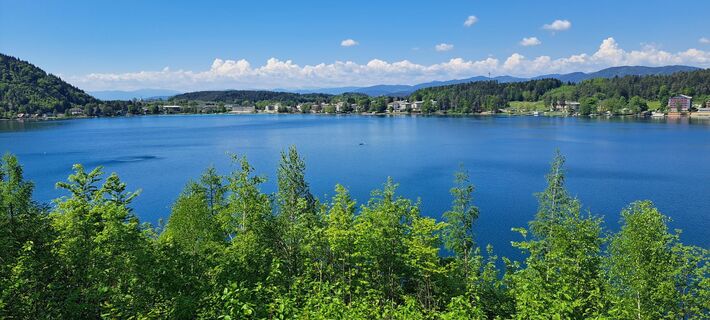
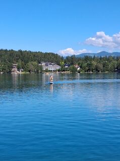
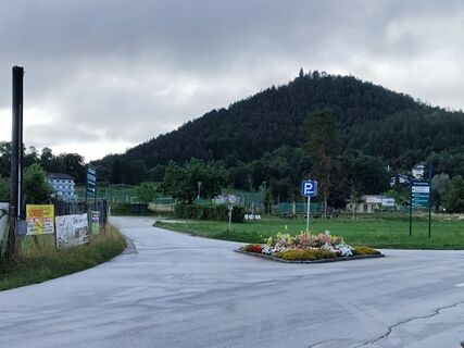
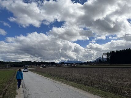
Hinterlibitsch/Suha - Pfarrkirche Sankt Michael - Pfarrkirche Sankt Stefan - Filialkirche Köcking
medium
Navigate
Navigate
Get this tour on your mobile
Hinterlibitsch/Suha - Pfarrkirche Sankt Michael - Pfarrkirche Sankt Stefan - Filialkirche Köcking
medium
Vozi bicikl
52,61
km
Scan the QR code and start navigation in the bergfex app

Hiking & Tracking


Distance
52,61
km
Duration
03:15
h
Ascent
422
m
Sea level
390 -
527
m
Track download
Hinterlibitsch/Suha - Pfarrkirche Sankt Michael - Pfarrkirche Sankt Stefan - Filialkirche Köcking
medium
Vozi bicikl
52,61
km


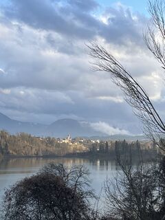
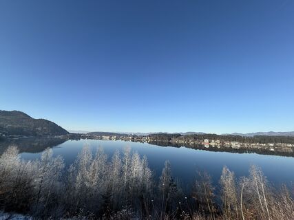
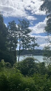
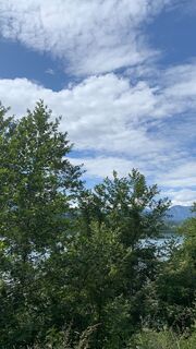
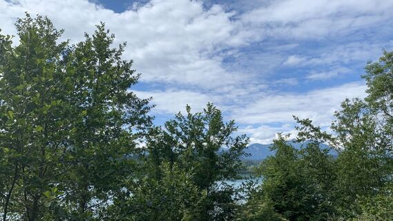
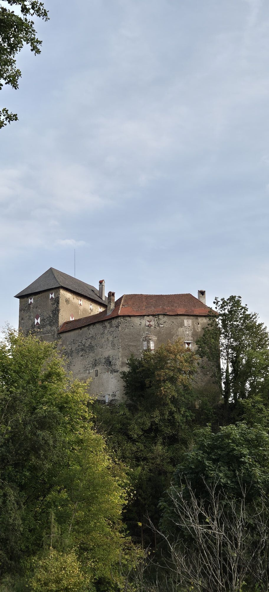
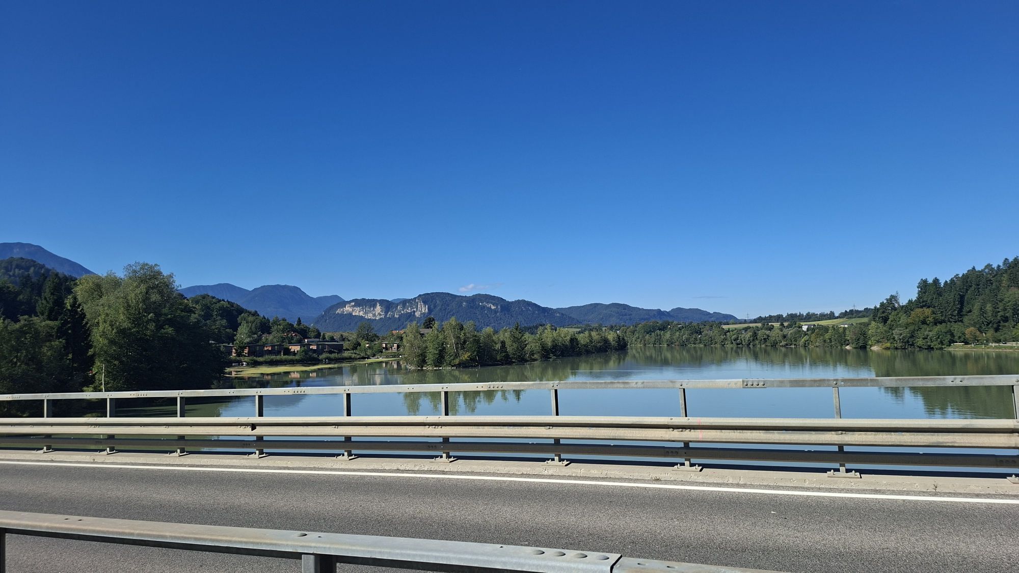
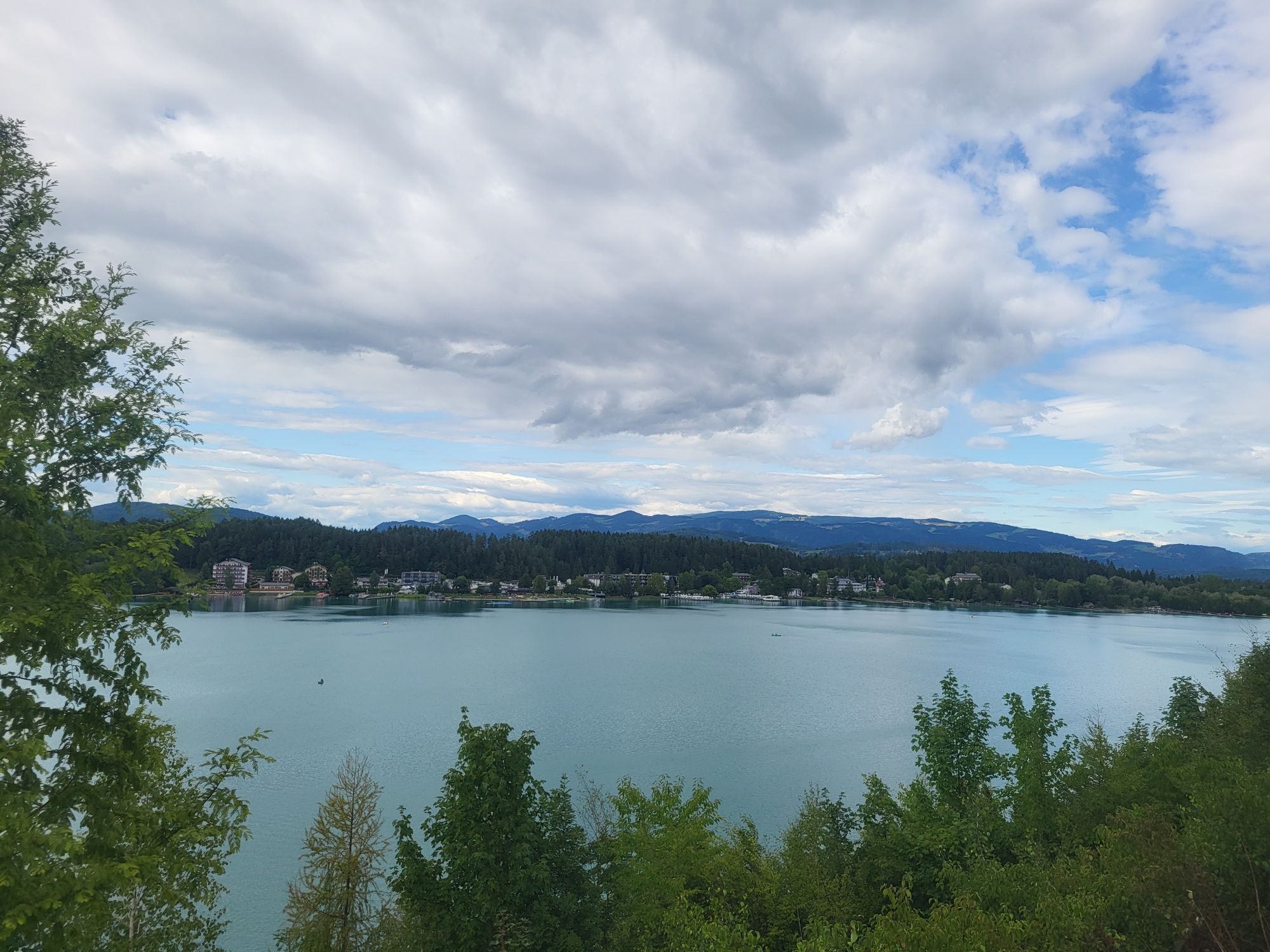
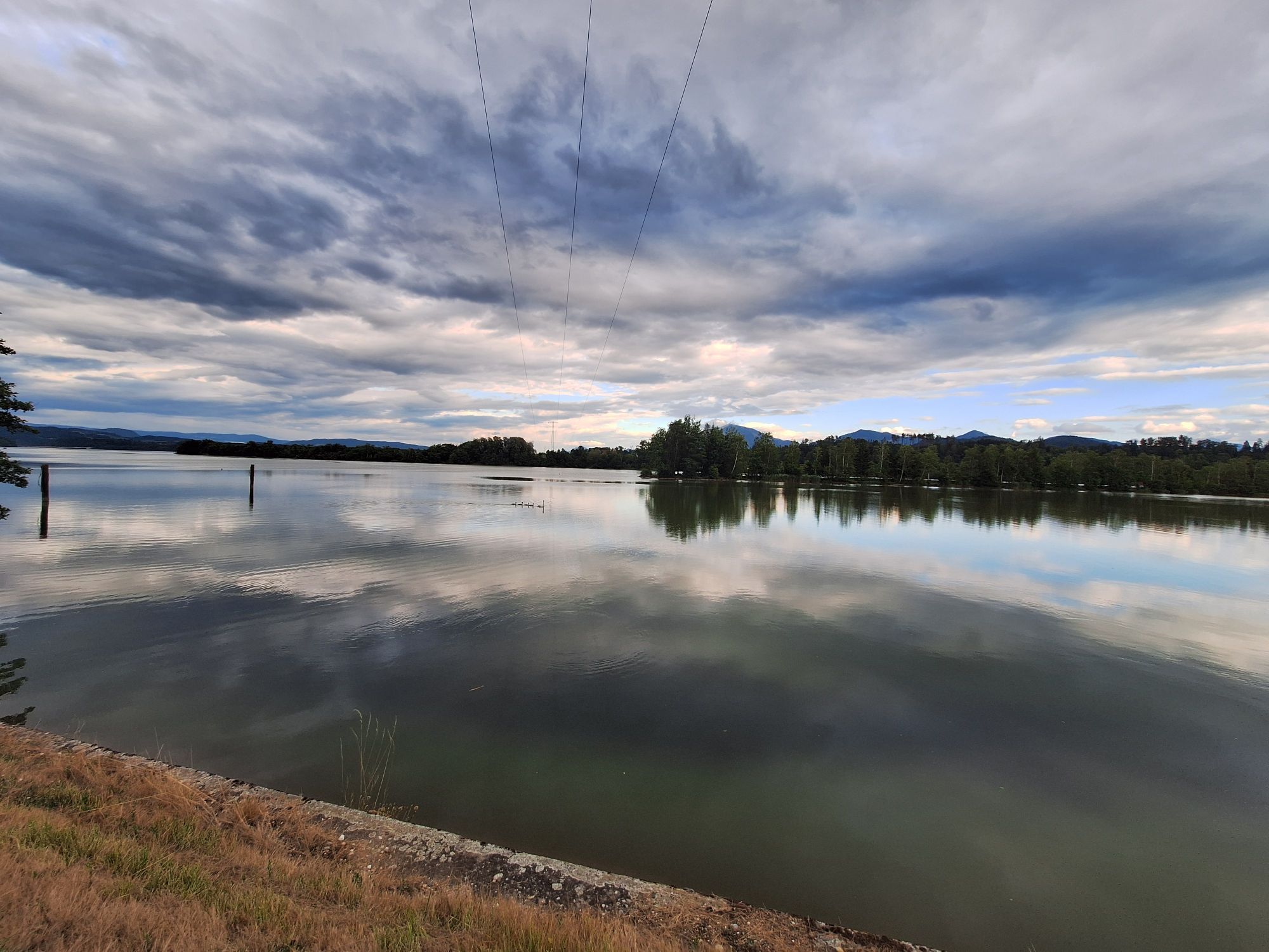
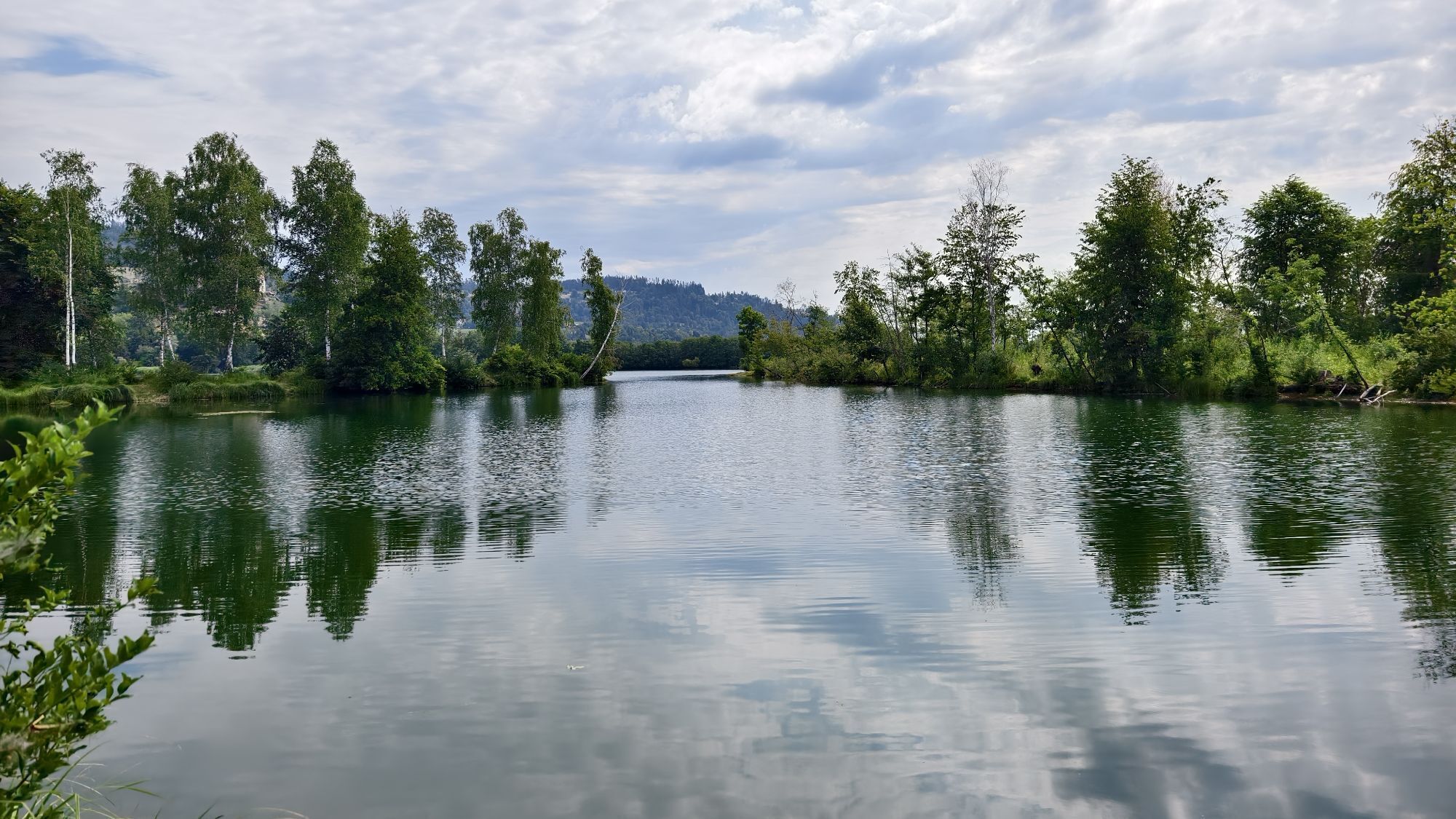
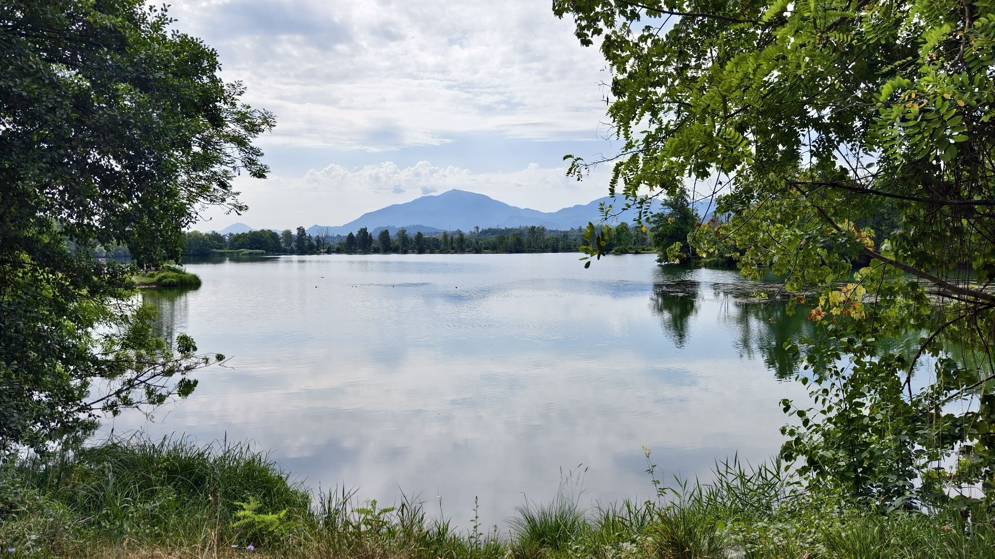
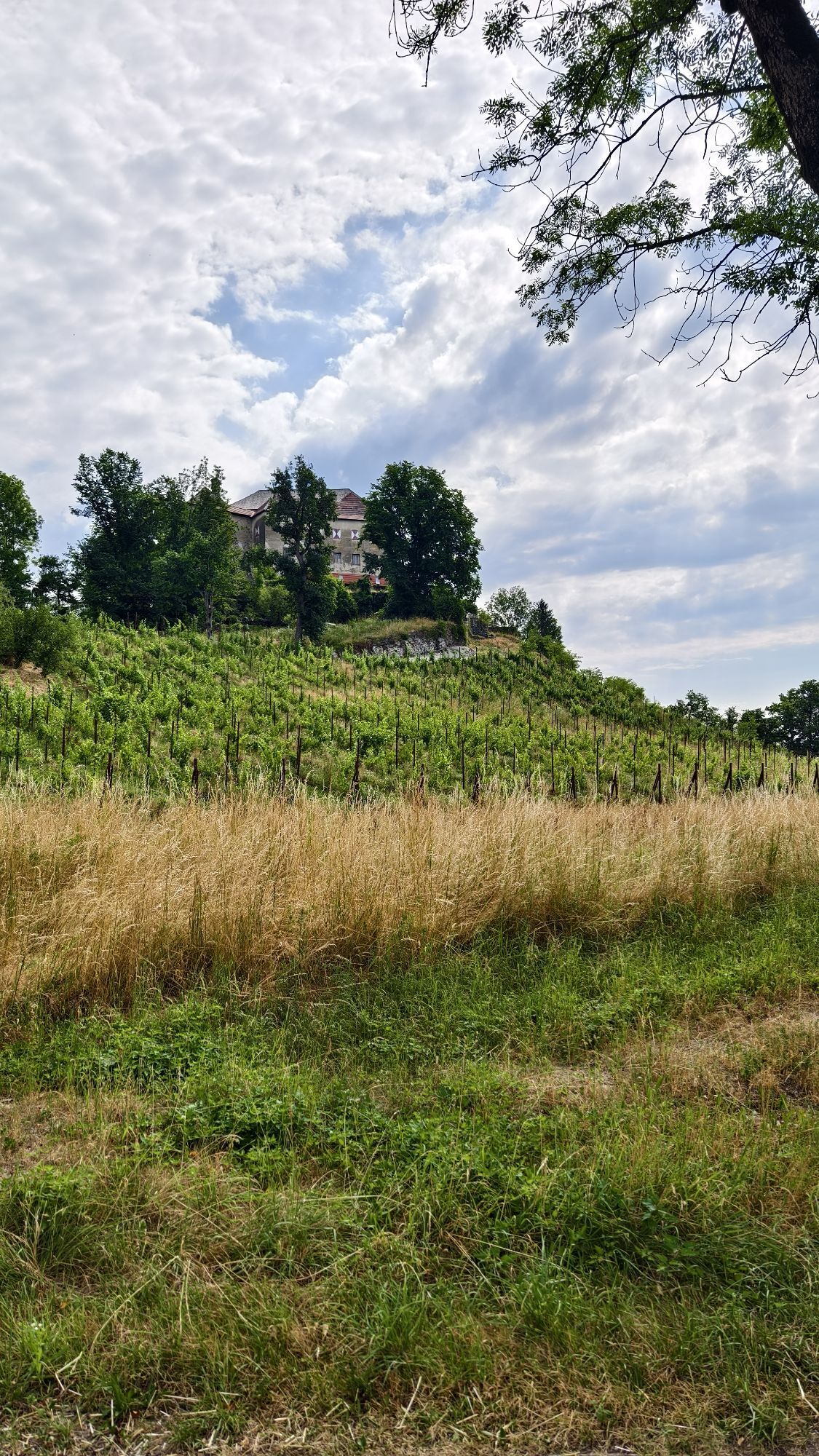
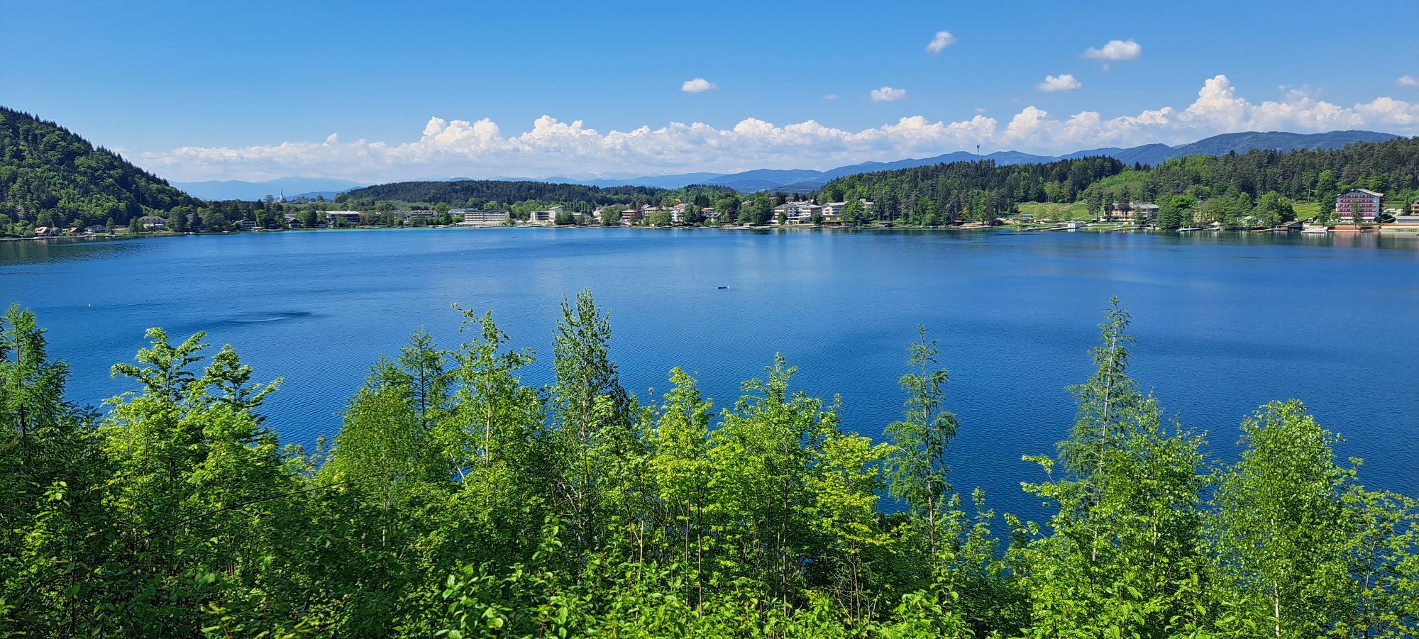
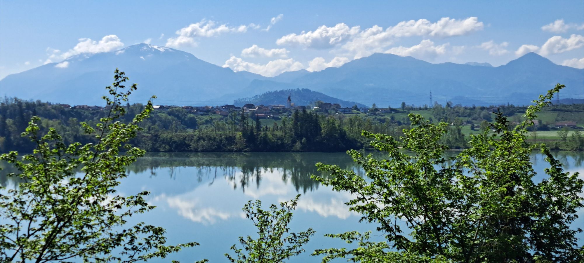
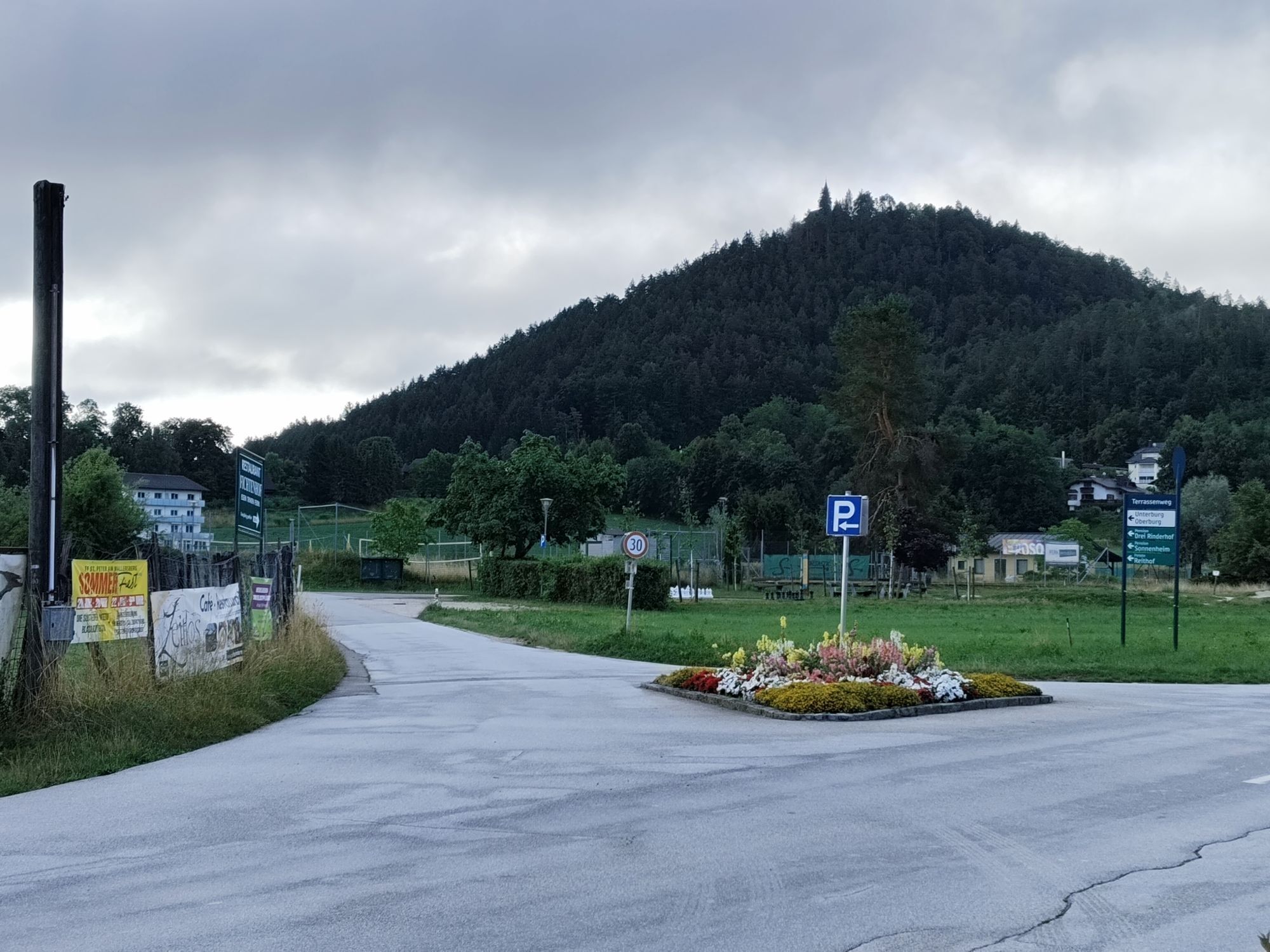
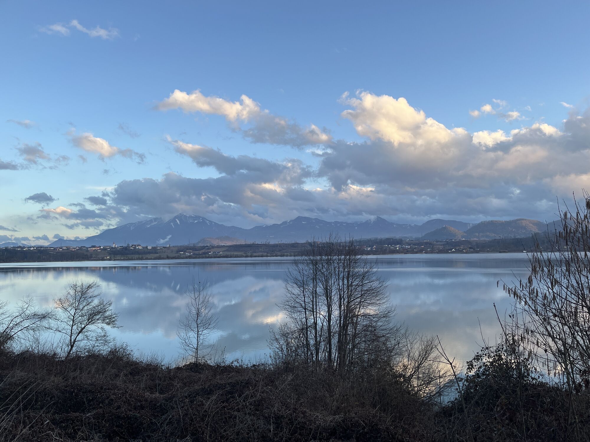
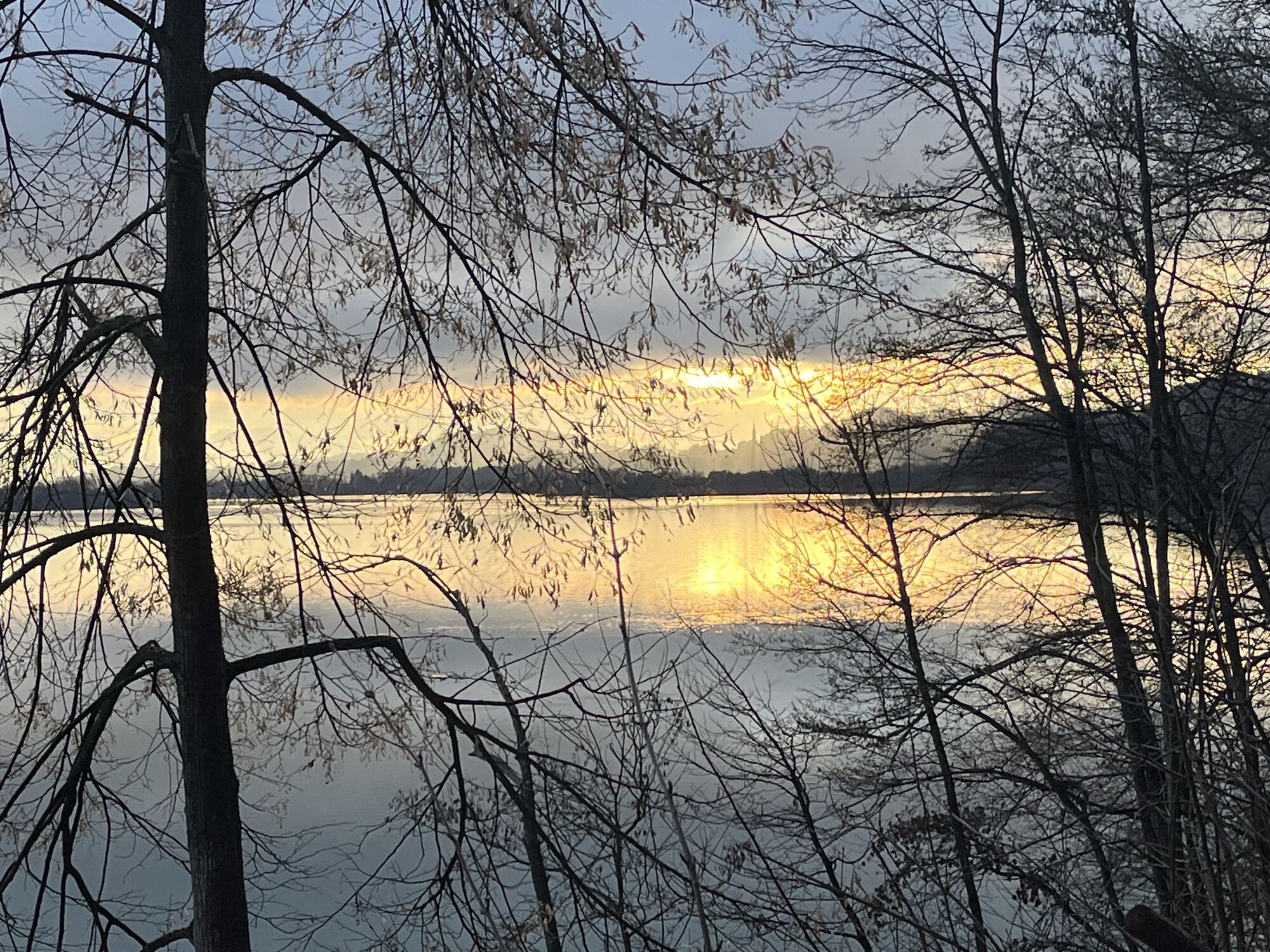
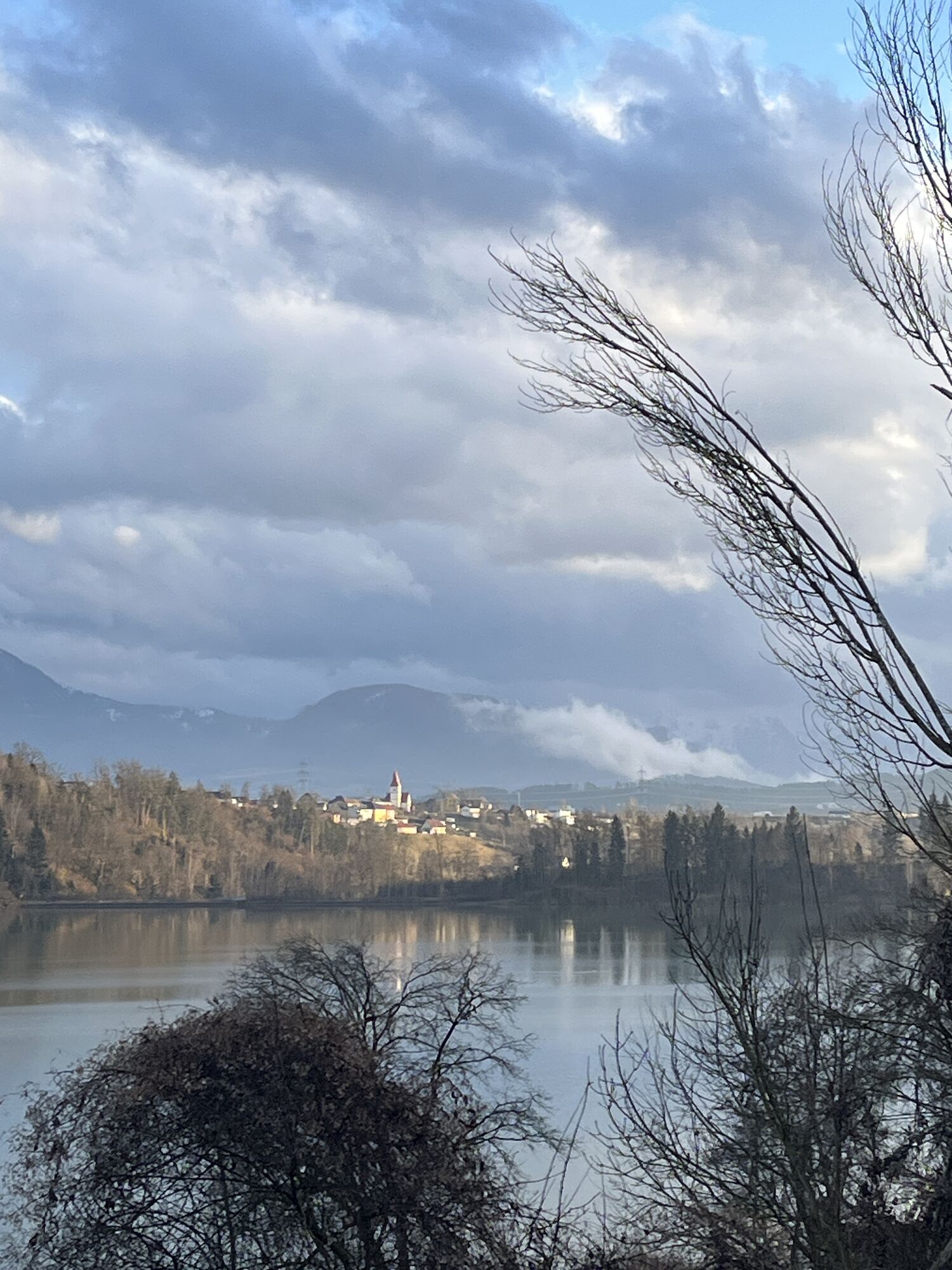
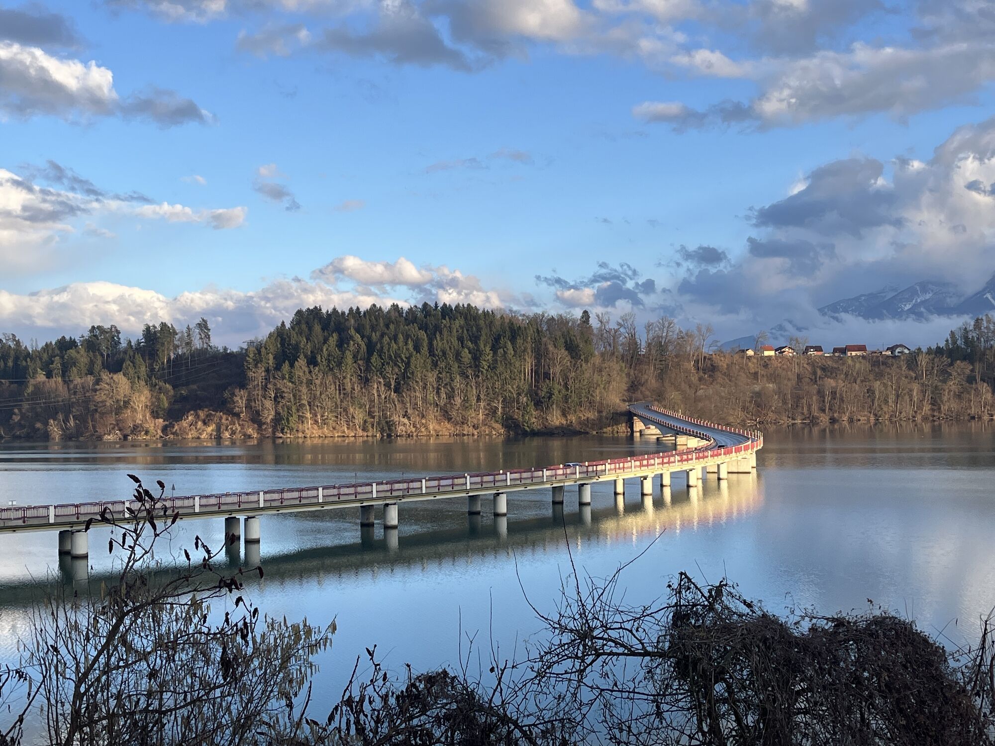
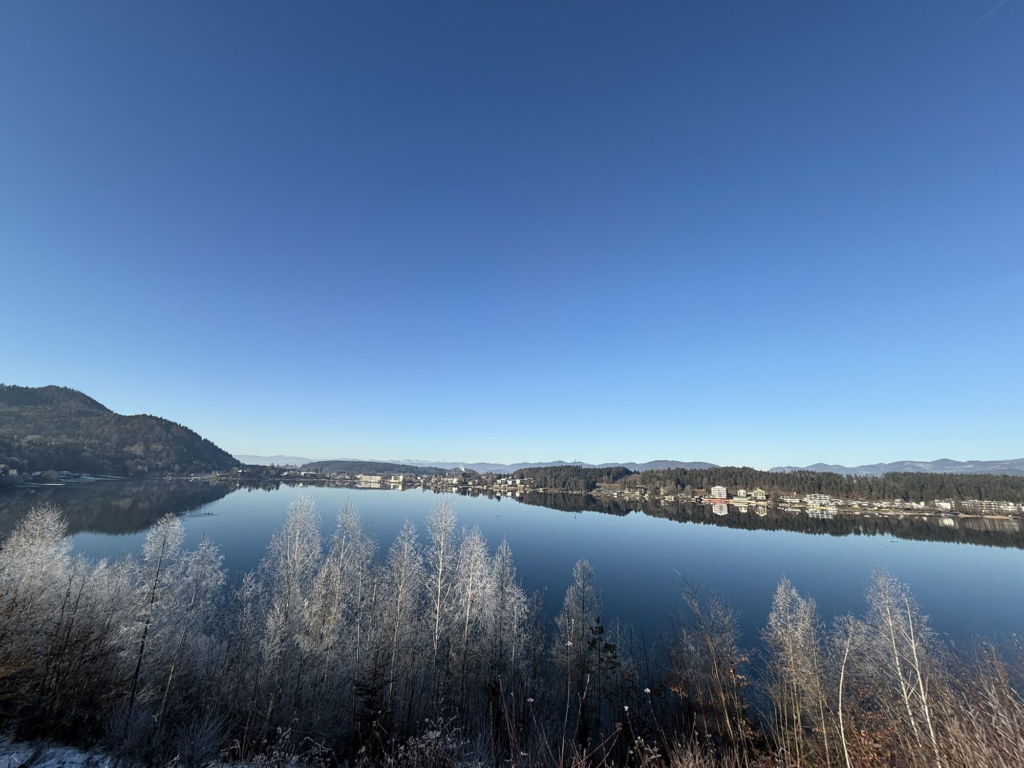
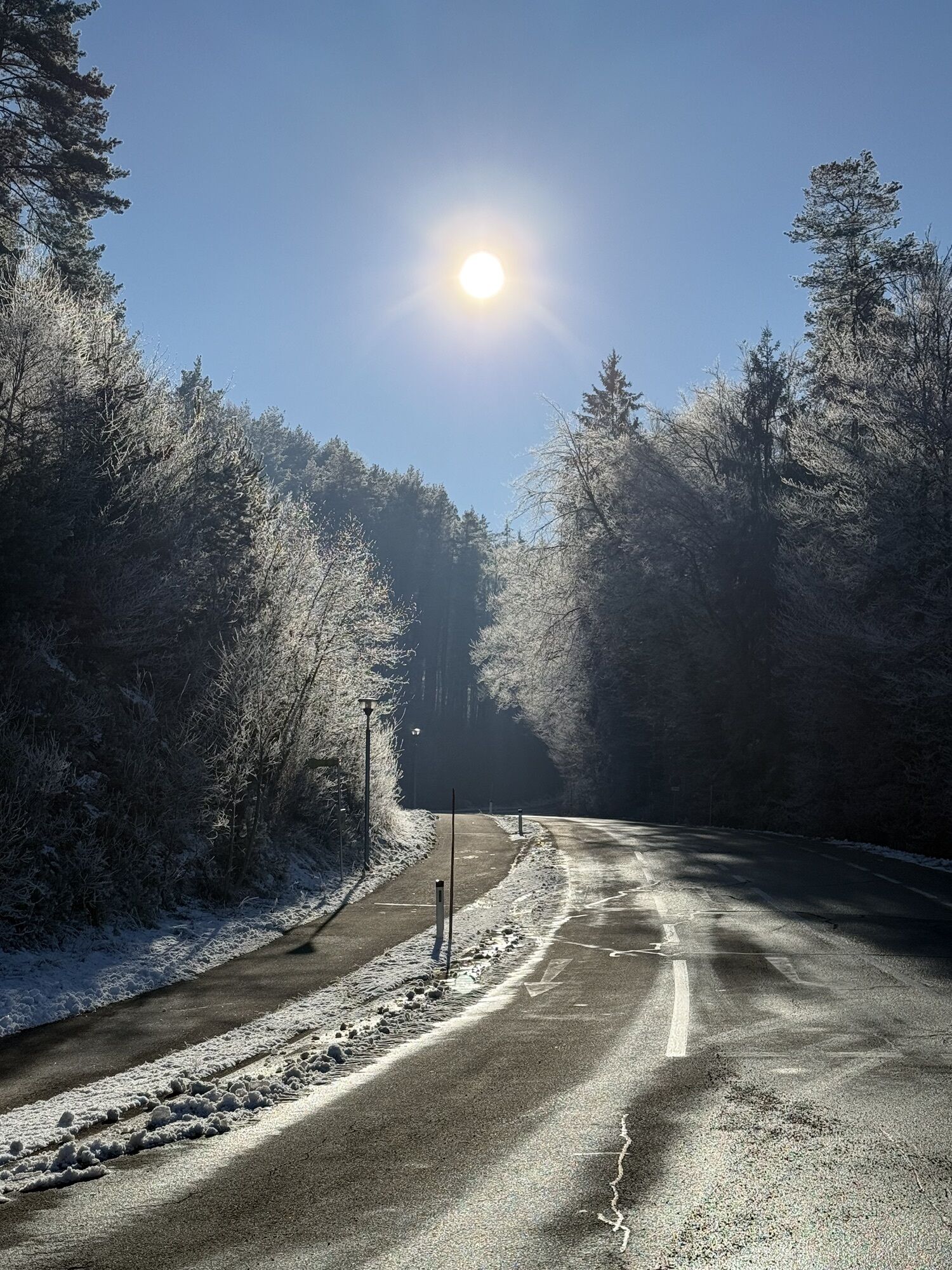
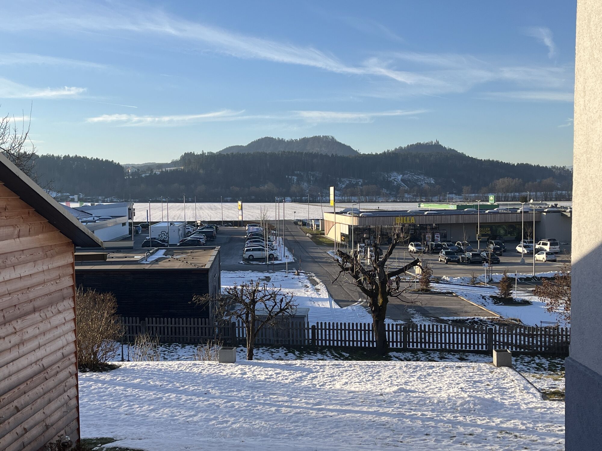
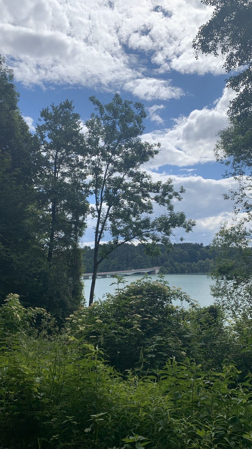
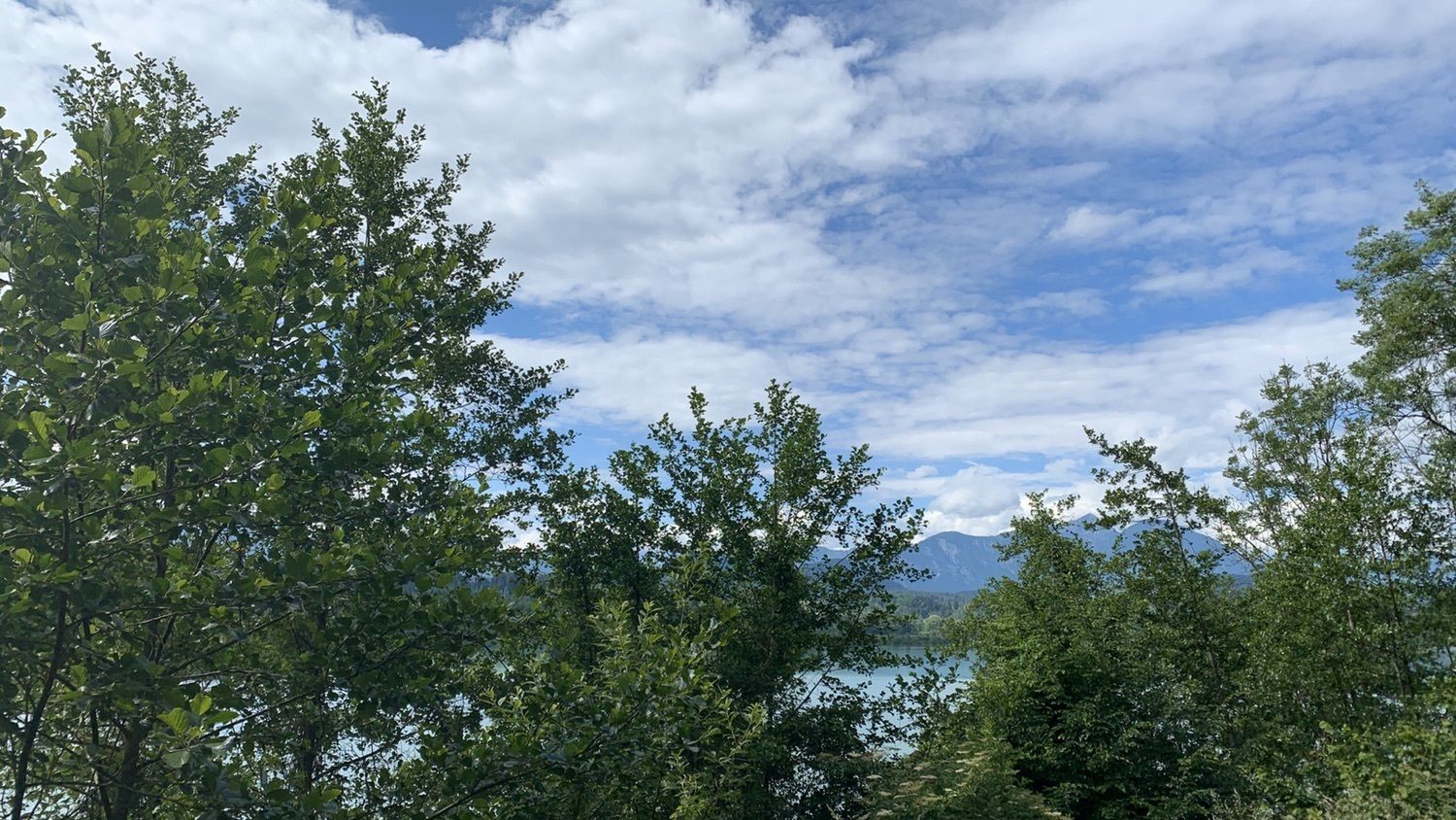
Photos from our users
-
 © Silvia HütterCreated on 13.09.2025
 -

 © FloessiCreated on 04.09.2025
 -
 © Gerhard LilekCreated on 28.08.2025
 -

 © Akinom55Created on 17.07.2025
 -

 © Gabi TemesiCreated on 10.07.2025
 -
 © AnnJuCreated on 04.07.2025
 -
 © AnnJuCreated on 04.07.2025
 -
 © AnnJuCreated on 04.07.2025
 -
 © HeinzKCreated on 29.04.2025
 -
 © HeinzKCreated on 29.04.2025
 -
 © Anni HörnlerCreated on 04.09.2025
 -
 © Sabine LuidoldCreated on 17.07.2025
 -
 © Richard NieuwenhuizenCreated on 13.03.2025
 -
 © Richard NieuwenhuizenCreated on 10.03.2025
 -
 © Richard NieuwenhuizenCreated on 10.03.2025
 -
 © Richard NieuwenhuizenCreated on 10.03.2025
 -
 © Richard NieuwenhuizenCreated on 10.03.2025
 -
 © Bernhard GlauningerCreated on 30.12.2024
 -
 © Bernhard GlauningerCreated on 30.12.2024
 -
 © Richard NieuwenhuizenCreated on 28.12.2024
 -
 © LomalindaCreated on 01.06.2020
 -
 © LomalindaCreated on 01.06.2020
 -
 © LomalindaCreated on 01.06.2020


Route
Pfarrkirche Sankt Michael
(504 m)
Place of worship
0,9 km
Filialkirche Köcking
(498 m)
Place of worship
9,0 km
Köcking
(510 m)
Village
9,0 km
Klopein
(456 m)
Village
17,8 km
Schreckendorf
(444 m)
Settlement
25,9 km
Völkermarkt
(463 m)
City
37,0 km
Dullach I
(407 m)
Settlement
43,3 km
Route
Hinterlibitsch/Suha - Pfarrkirche Sankt Michael - Pfarrkirche Sankt Stefan - Filialkirche Köcking
medium
Vozi bicikl
52,61
km
Hinterlibitsch/Suha
(494 m)
Village
0,1 km
Sankt Michael ob Bleiburg/Šmihel pri Pliberku
(499 m)
Village
0,6 km
Gasthof Loser
(500 m)
Restaurant
0,8 km
Pfarrkirche Sankt Michael
(504 m)
Place of worship
0,9 km
Tscherberg/Črgoviče
(497 m)
Village
1,0 km
Traundorf/Strpna vas
(502 m)
Village
2,4 km
St. Stefan/Šteben
(516 m)
Village
3,9 km
Pfarrkirche Sankt Stefan
(516 m)
Place of worship
4,0 km
Tschepitschach/Čepiče
(520 m)
Settlement
5,8 km
Loibegg
(526 m)
Village
7,5 km
Cafe Restaurant Lisi
(502 m)
Restaurant
8,5 km
Filialkirche Köcking
(498 m)
Place of worship
9,0 km
Köcking
(510 m)
Village
9,0 km
Kirchenwirt
(475 m)
Restaurant
10,8 km
Eberndorf/Dobrla vas
(468 m)
Village
11,0 km
Buchbrunn/Bukovje
(451 m)
Settlement
13,4 km
Seelach
(450 m)
Village
17,7 km
Klopein
(456 m)
Village
17,8 km
Seegasthof Katschnig
(452 m)
Restaurant
19,4 km
Horzach I/Horce I
(445 m)
Settlement
23,0 km
Sankt Kanzian am Klopeiner See
(438 m)
Village
24,8 km
St. Kanzian-Alt
(449 m)
Settlement
25,2 km
Schreckendorf
(444 m)
Settlement
25,9 km
Piskertschach
(447 m)
Settlement
26,5 km
Seidendorf
(392 m)
Settlement
27,5 km
St. Kanzian/Seidendorf
(392 m)
Ferry landing stage
27,6 km
Neudenstein
(391 m)
Ferry landing stage
30,9 km
Bei der Drau
(406 m)
Corridor/terrain
35,0 km
Hafenrast
(393 m)
Restaurant
36,7 km
Völkermarkt
(463 m)
City
37,0 km
Unarach
(456 m)
Settlement
39,5 km
Gurtschitschach
(448 m)
Settlement
41,5 km
Dullach I
(407 m)
Settlement
43,3 km
Edling/Kazaze
(473 m)
Village
45,6 km
Mittlern
(481 m)
Village
47,5 km
Tscherberg/Črgoviče
(497 m)
Village
51,8 km
Hinterlibitsch/Suha
(494 m)
Village
52,6 km
No reviews yet
Popular tours in the neighbourhood
-
4,5
Slow Trail Kitzelberg, Klopeiner See
mediumPješačenje 6,82 km -
4,1
Klopeiner See route: "Promenade round"
lightPješačenje 5,27 km -
3,6
Upper Petzen circular route
mediumPješačenje 7,30 km -
4,5
Rundwanderweg: St. Kanzian - Kitzelberg (Ausblick zum Klopeiner See, Turnersee & Kleinsee) - St. Kanzian
lightPješačenje 7,24 km -
4,4
Petzen
mediumSkijaška tura 13,3 km -
2,8
Bergstation Petzn - Kniepssattel - Feistritzer Spitz und über den Krischasteig zurück
mediumPješačenje 8,50 km -
4,9
Koschlak Klettersteig BC, D
mediumVia ferrata 2,60 km -
4,2
6-Lakes Route: For leisure cyclists and families
mediumVozi bicikl 53,8 km -
2,9
Slow Trail Turnersee
lightPješačenje 7,28 km -
4,5
Türkenkopf Klettersteig D/E, Eisenkappel
heavyVia ferrata 1,60 km

bergfex Tours

Over 550.000 tour suggestions, detailed maps and an intuitive route planner make the app a must-have for all nature enthusiasts.

Ne propustite ponude i inspiraciju za vaš sljedeći odmor
Subscribe to the newsletter
Error
An error has occurred. Please try again.
Thank you for your registration
Your e-mail address has been added to the mailing list.
Tours throughout Europe
Austrija
Švicarska
Njemačka
Italija
Slovenija
Francuska
Nizozemska
Belgija
Poljska
Lihtenštajn
Češka
Slovačka
Španija
Hrvatska
Bosna i Hercegovina
Luksemburg
Andora
Portugal
Island
Ujedinjeno Kraljevstvo
Irska
Grčka
Albanija
Sjeverna Makedonija
Malta
Norveška
Crna Gora
Moldova
Kosovo
Mađarska
San Marino
Rumunjska
Estonija
Latvija
Bjelorusija
Cipar
Litva
Srbija
Bugarska
Monako
Danska
Švedska
Finska