Roodt - Église de l'Assomption de la Bienheureuse-Vierge-Marie - Saint-Lambert - Benediktskierch
heavy
Navigate
Navigate
Get this tour on your mobile
Roodt - Église de l'Assomption de la Bienheureuse-Vierge-Marie - Saint-Lambert - Benediktskierch
heavy
Cestovni bicikl
88,57
km
Scan the QR code and start navigation in the bergfex app

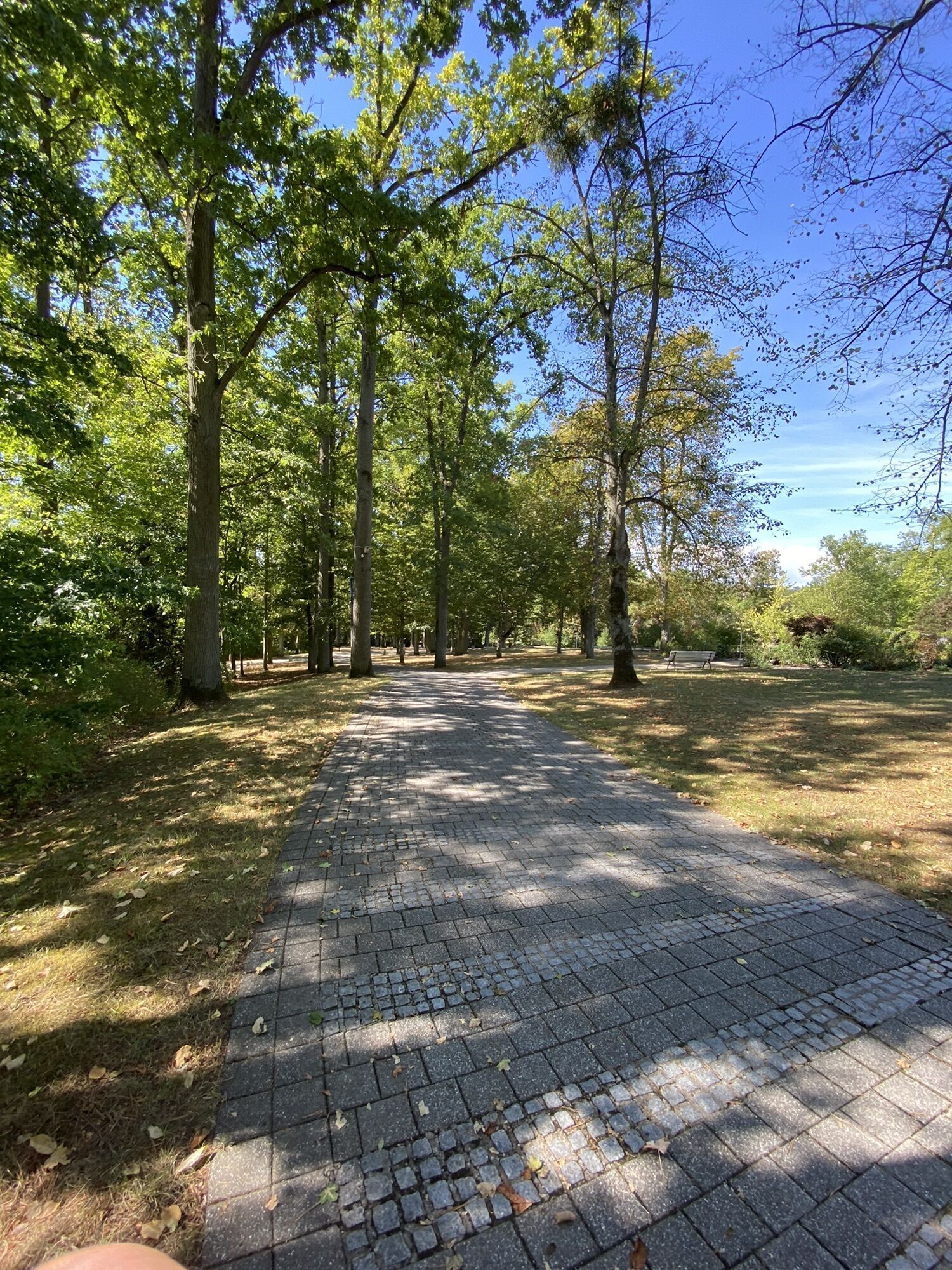
Hiking & Tracking


Distance
88,57
km
Duration
04:37
h
Ascent
1.043
m
Sea level
139 -
307
m
Track download
Roodt - Église de l'Assomption de la Bienheureuse-Vierge-Marie - Saint-Lambert - Benediktskierch
heavy
Cestovni bicikl
88,57
km


Route
Église de l'Assomption de la Bienheureuse-Vierge-Marie
(247 m)
Place of worship
1,4 km
Benediktskierch
(218 m)
Place of worship
26,8 km
Saint-Sébastien
(159 m)
Place of worship
37,1 km
Saint-Jean-Baptiste
(264 m)
Place of worship
41,9 km
Remich
(146 m)
City
52,2 km
Saints-Côme-et-Damien
(258 m)
Place of worship
76,1 km
Sainte Marie
(228 m)
Place of worship
84,4 km
Route
Roodt - Église de l'Assomption de la Bienheureuse-Vierge-Marie - Saint-Lambert - Benediktskierch
heavy
Cestovni bicikl
88,57
km
Roodt
(238 m)
Railway station
0,0 km
Roodt-sur-Syre
(242 m)
Village
0,1 km
Église de l'Assomption de la Bienheureuse-Vierge-Marie
(247 m)
Place of worship
1,4 km
Mensdorf
(244 m)
Village
1,6 km
Beyren
(279 m)
Village
5,5 km
Canach
(245 m)
Village
8,2 km
Assel
(168 m)
Village
16,3 km
Rolling
(165 m)
Village
16,6 km
Bous
(159 m)
Village
17,7 km
Fu Shun Ju
(168 m)
Restaurant
19,0 km
Erpeldange
(171 m)
Village
19,1 km
Emeringerhaff
(176 m)
Settlement
19,8 km
Ellange
(224 m)
Village
22,8 km
Saint-Lambert
(225 m)
Place of worship
22,9 km
Osé
(227 m)
Restaurant
23,0 km
Bréim
(255 m)
Corridor/terrain
24,8 km
Kohn
(216 m)
Restaurant
26,7 km
Altwies
(213 m)
Village
26,8 km
Benediktskierch
(218 m)
Place of worship
26,8 km
Taverne Victor Hugo
(214 m)
Restaurant
27,0 km
L'Allée du Bois
(222 m)
Neighbourhood
27,9 km
Mondorff
(208 m)
Village
28,3 km
Brill
(195 m)
Settlement
28,6 km
Mondorf-les-Bains
(191 m)
Village
29,4 km
Bäerbelekierch
(224 m)
Place of worship
33,8 km
Burmerange
(222 m)
Village
33,8 km
Remerschen
(153 m)
Village
36,8 km
Le Bistrot Gourmand
(154 m)
Restaurant
36,9 km
Saint-Sébastien
(159 m)
Place of worship
37,1 km
Haupeschkierch
(151 m)
Place of worship
38,4 km
Wintrange
(152 m)
Village
38,4 km
Saint-Jean-Baptiste
(264 m)
Place of worship
41,9 km
Elvange
(264 m)
Village
42,0 km
Chang Hong
(260 m)
Restaurant
42,2 km
La Rameaudière
(239 m)
Restaurant
43,5 km
Ellange Gare
(240 m)
Settlement
43,6 km
Scheuerberg
(241 m)
Settlement
48,4 km
Bech-Kleinmacher
(144 m)
Village
49,8 km
Op der Redoute
(169 m)
Corridor/terrain
50,2 km
Remich
(146 m)
City
52,2 km
Villa Belle-Rive
(145 m)
Restaurant
53,6 km
Am Broch
(144 m)
Corridor/terrain
55,1 km
Palzem
(167 m)
Village
55,3 km
Stadtbredimus
(148 m)
Village
55,9 km
Hëttermillen
(158 m)
Village
60,3 km
Wehr (Mosel)
(172 m)
Village
60,6 km
Fu-Zhou
(140 m)
Restaurant
62,2 km
Ehnen
(144 m)
Village
62,6 km
Dreiborn
(221 m)
Settlement
65,9 km
Oberdonven
(272 m)
Village
71,0 km
Buchholz
(302 m)
Settlement
74,1 km
Le Menhir
(260 m)
Restaurant
75,8 km
Flaxweiler
(258 m)
Village
76,1 km
Saints-Côme-et-Damien
(258 m)
Place of worship
76,1 km
Berg
(256 m)
Village
78,5 km
Weckergronn
(220 m)
Corridor/terrain
80,3 km
Wecker
(228 m)
Village
81,1 km
Hagelsdorf
(218 m)
Village
82,5 km
Saint-Antoine
(217 m)
Place of worship
82,5 km
Relais du Château de Betzdorf Sàrl
(223 m)
Restaurant
83,5 km
Betzdorf
(224 m)
Village
83,6 km
Sainte Marie
(228 m)
Place of worship
84,4 km
Banzelt
(272 m)
Settlement
86,3 km
Roodt-sur-Syre
(242 m)
Village
88,5 km
Roodt
(238 m)
Railway station
88,6 km
No reviews yet
Webcams of the tour
Popular tours in the neighbourhood
-
4,0
Panorama Path Perl
mediumPješačenje 11,5 km -
Moselsteig Trail Stage 02: Palzem – Nittel
mediumDaljinska planinarska staza 16,4 km -
Saar-Hunsrück-Steig - 01. Etappe: Perl - Hellendorf
mediumDaljinska planinarska staza 17,4 km -
Moselsteig Trail Stage 01: Perl – Palzem
heavyDaljinska planinarska staza 23,6 km -
E-Velo-Tour: Mosel-Saar-Rendezvous
heavyVozi bicikl 57,7 km -
Römer-Runde
mediumVozi bicikl 37,3 km -
Perl 44
heavyMountainbike 43,9 km -
5,0
Villa Borg Trail
mediumPješačenje 7,45 km -
Perl 77
heavyMountainbike 78,4 km -
Perl66
heavyMountainbike 66,6 km

bergfex Tours

Over 550.000 tour suggestions, detailed maps and an intuitive route planner make the app a must-have for all nature enthusiasts.

Ne propustite ponude i inspiraciju za vaš sljedeći odmor
Subscribe to the newsletter
Error
An error has occurred. Please try again.
Thank you for your registration
Your e-mail address has been added to the mailing list.
Tours throughout Europe
Austrija
Švicarska
Njemačka
Italija
Slovenija
Francuska
Nizozemska
Belgija
Poljska
Lihtenštajn
Češka
Slovačka
Španija
Hrvatska
Bosna i Hercegovina
Luksemburg
Andora
Portugal
Island
Ujedinjeno Kraljevstvo
Irska
Grčka
Albanija
Sjeverna Makedonija
Malta
Norveška
Crna Gora
Moldova
Kosovo
Mađarska
San Marino
Rumunjska
Estonija
Latvija
Bjelorusija
Cipar
Litva
Srbija
Bugarska
Monako
Danska
Švedska
Finska