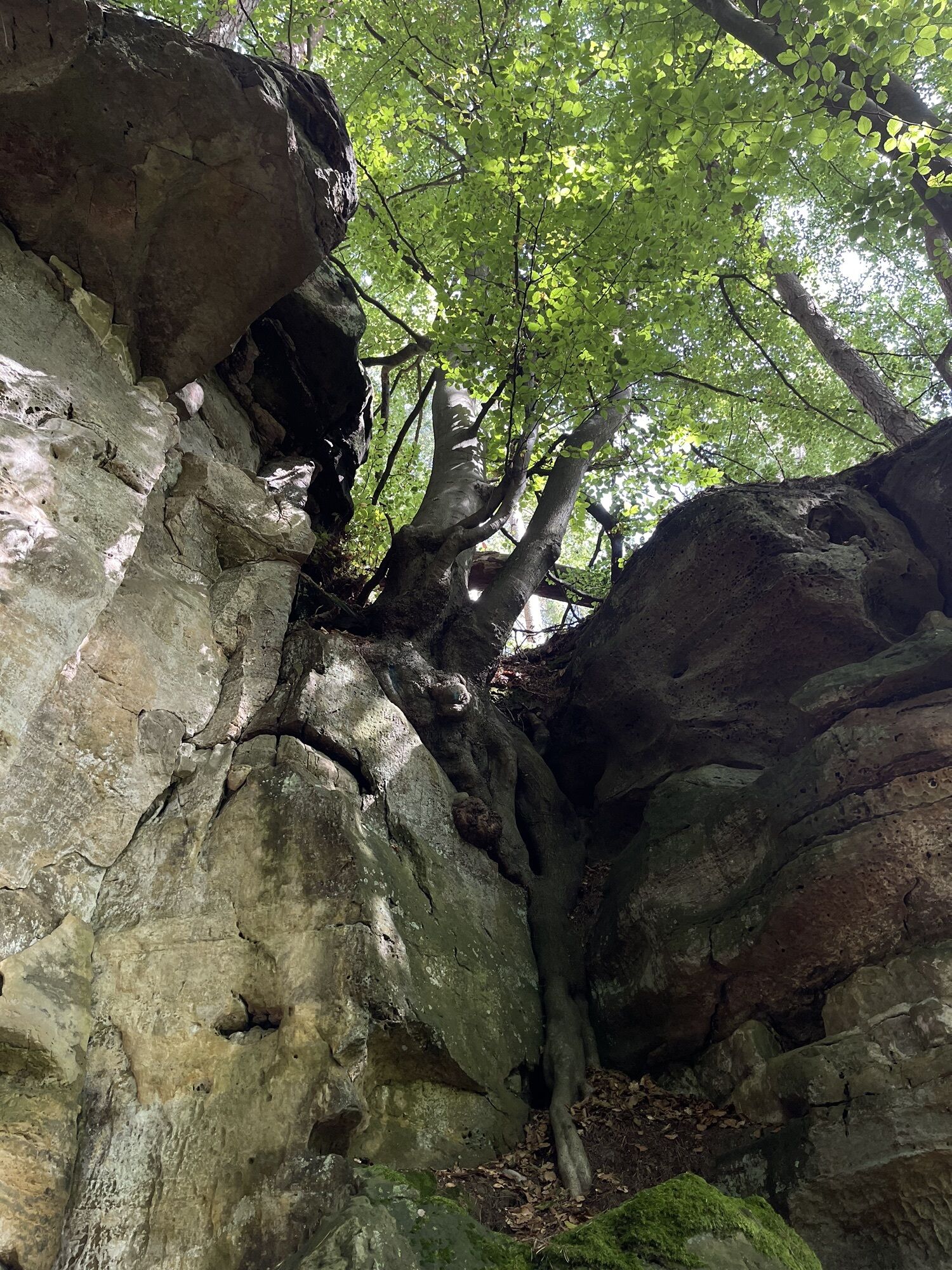
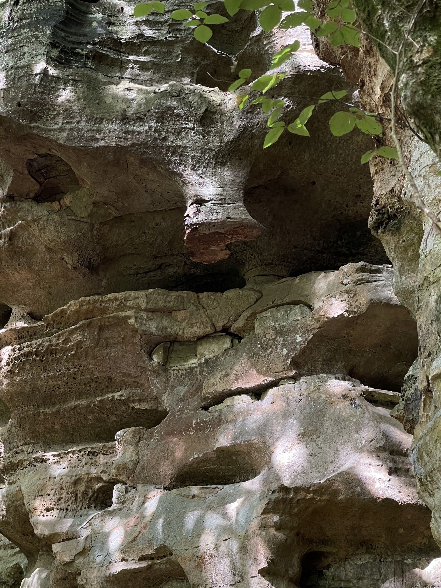
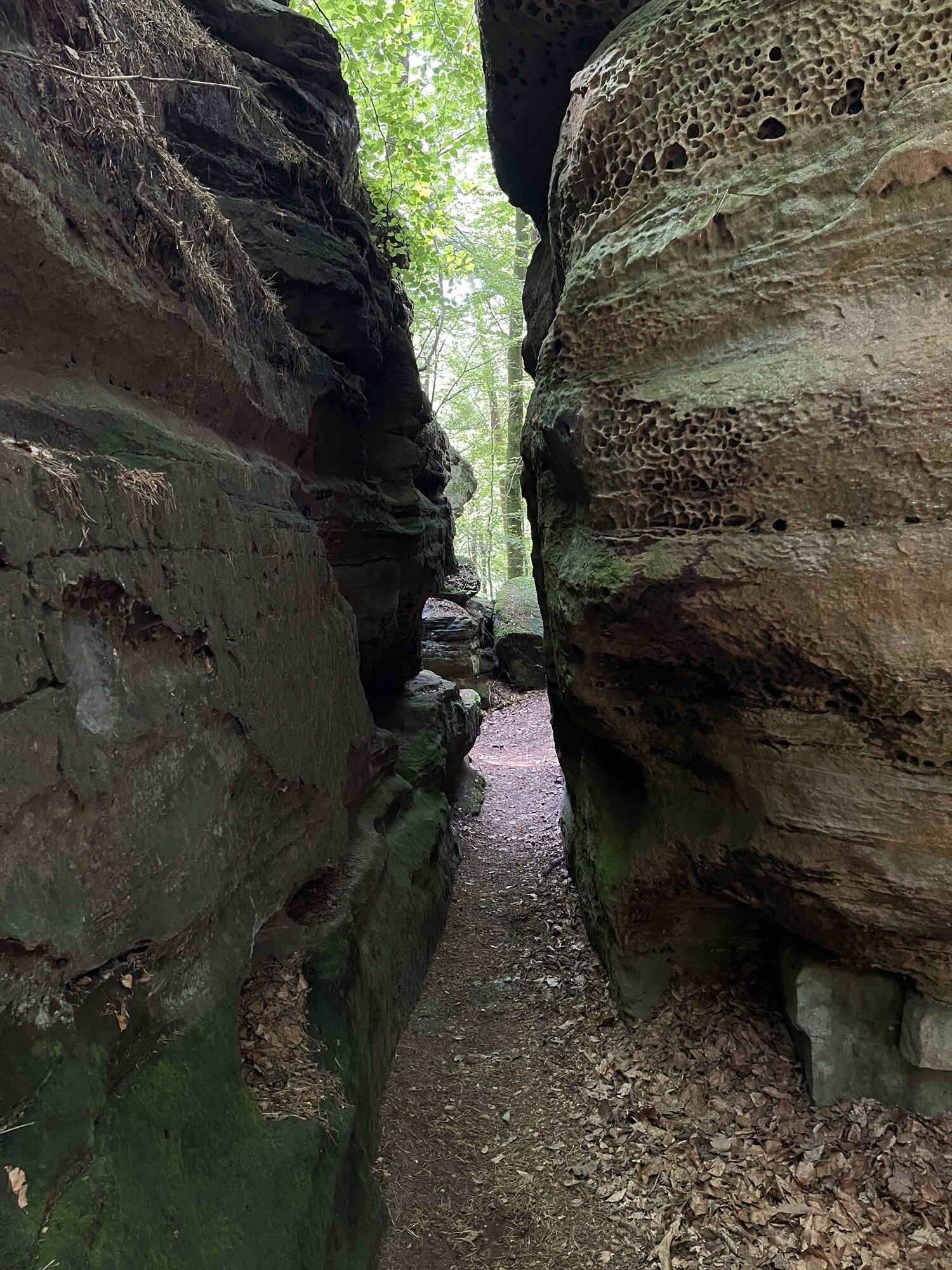
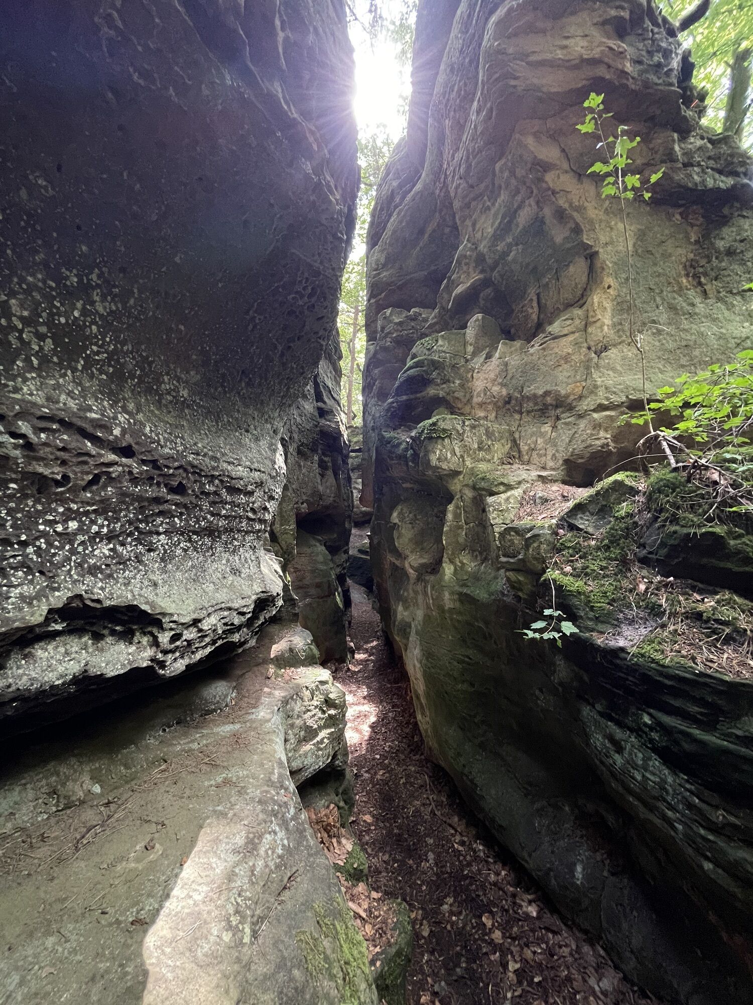
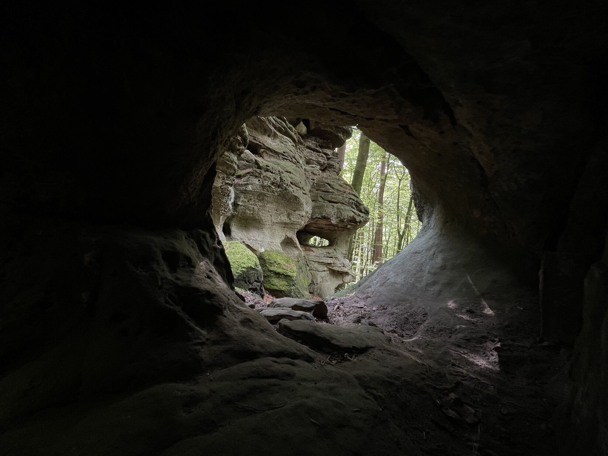
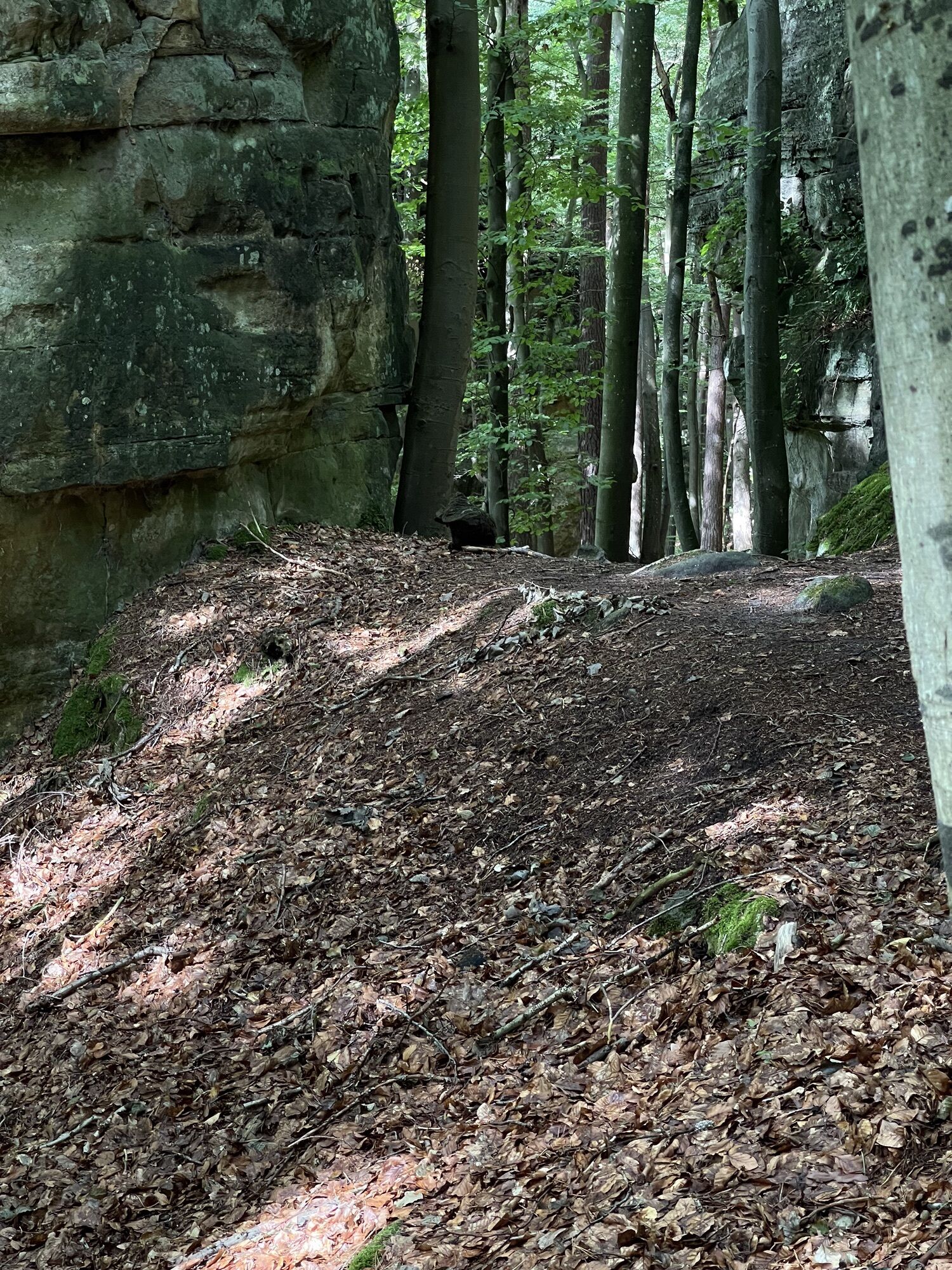
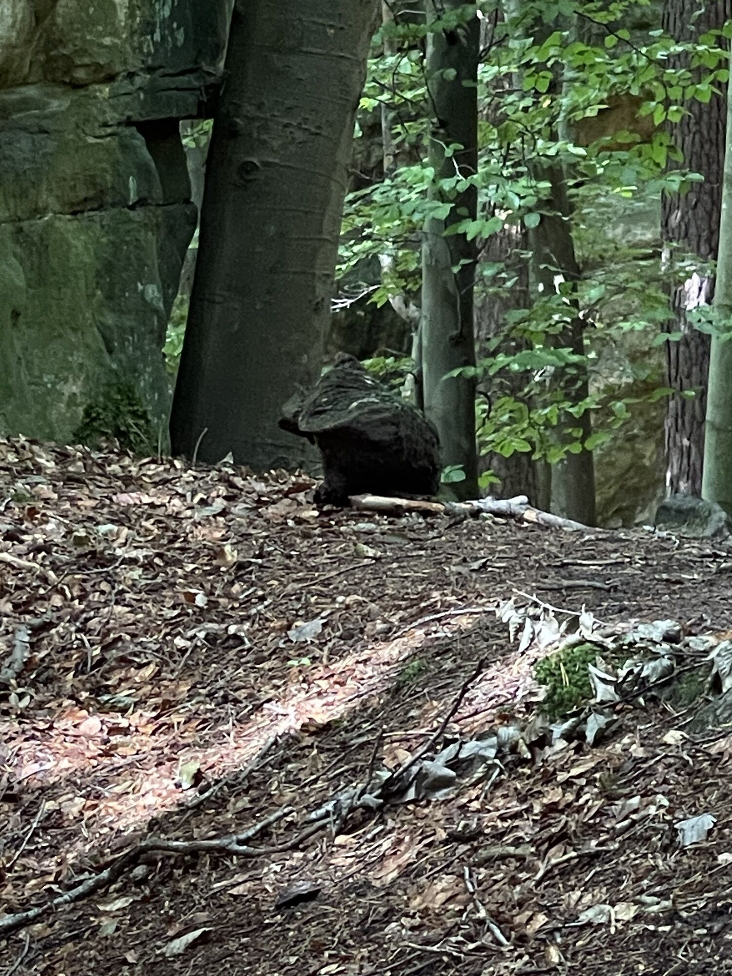
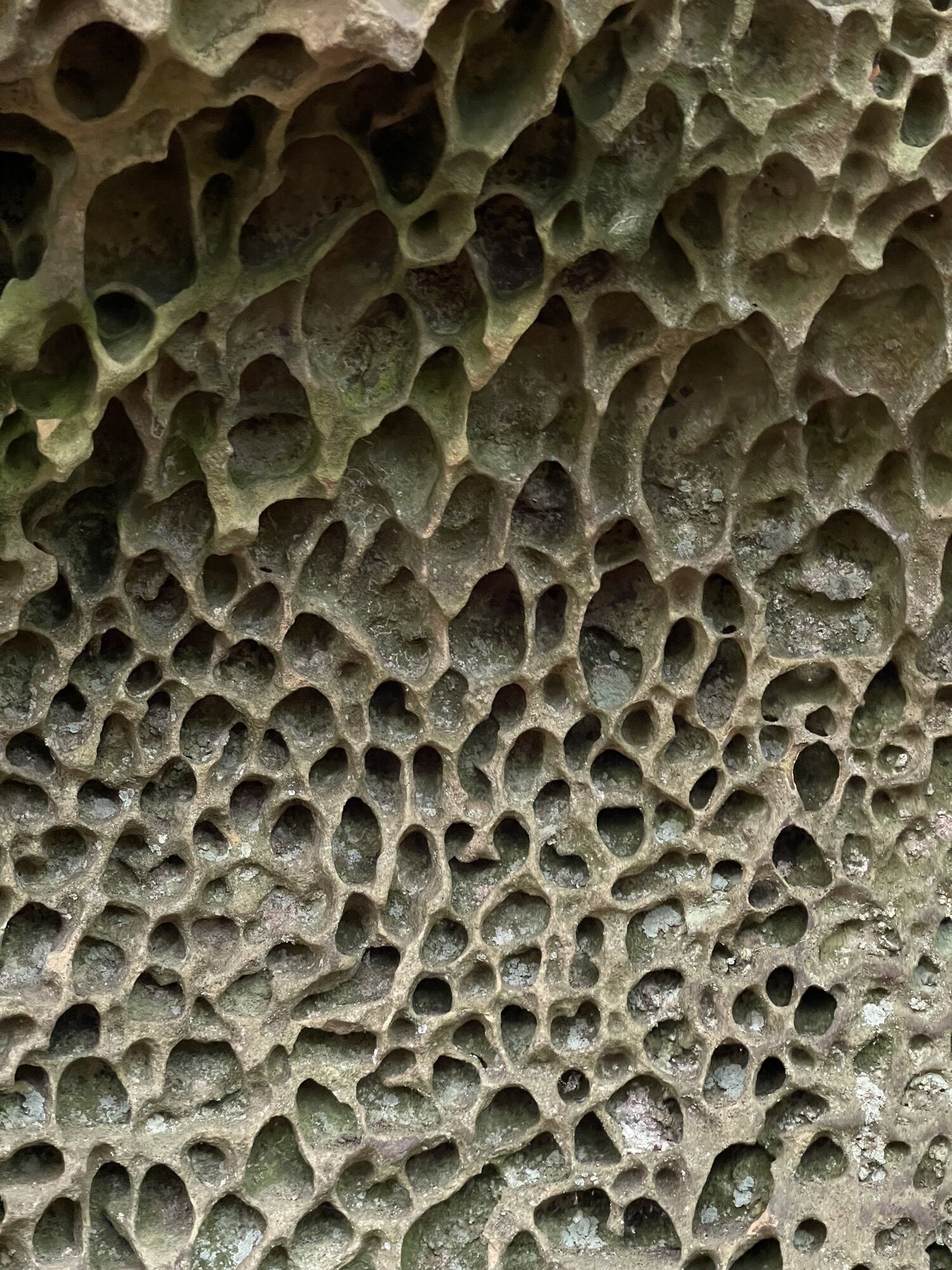
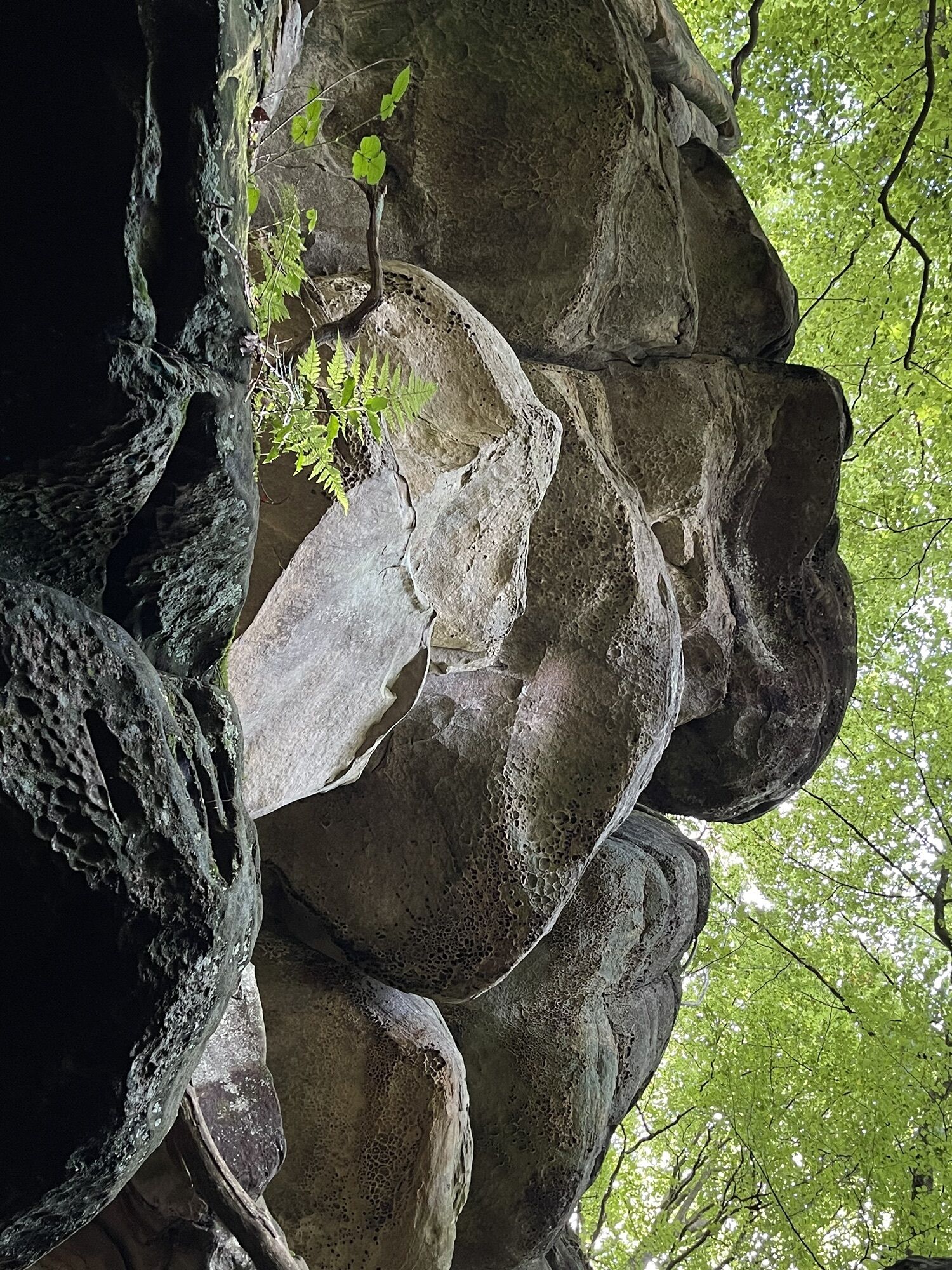
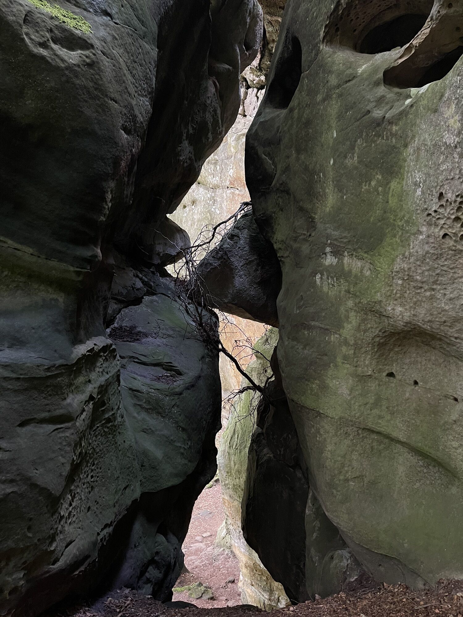
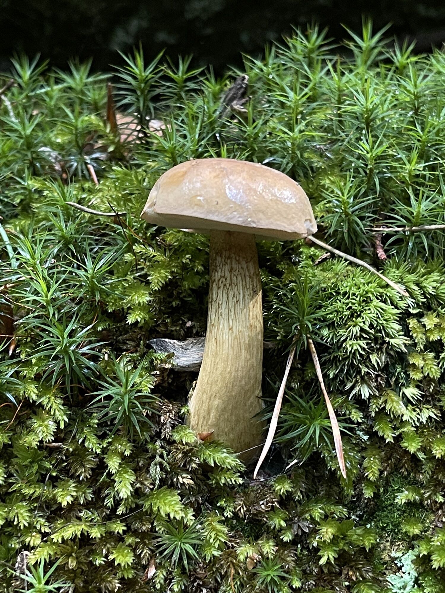
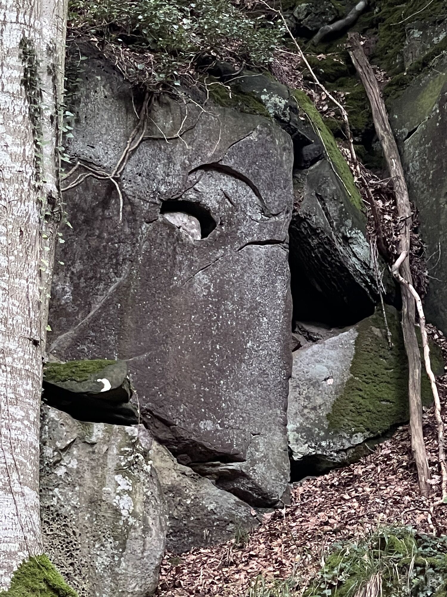
Consdorf- Rammelay
medium
Navigate
Navigate
Get this tour on your mobile
Consdorf- Rammelay
medium
Šetati
6,76
km
Scan the QR code and start navigation in the bergfex app

Hiking & Tracking


Distance
6,76
km
Duration
01:50
h
Ascent
146
m
Sea level
294 -
357
m
Track download
Consdorf- Rammelay
medium
Šetati
6,76
km


Route
Consdorf
(330 m)
Village
0,0 km
Budelerkummer
(320 m)
Corridor/terrain
1,4 km
Pârdskapp
(309 m)
Corridor/terrain
1,6 km
Consdorf
(330 m)
Village
6,8 km
Route
Consdorf- Rammelay
medium
Šetati
6,76
km
Consdorf
(330 m)
Village
0,0 km
Budelerkummer
(320 m)
Corridor/terrain
1,4 km
Pârdskapp
(309 m)
Corridor/terrain
1,6 km
Consdorf
(330 m)
Village
6,8 km
No reviews yet
Popular tours in the neighbourhood
-
4,5
Mullerthal Tour ab/bis Konsdorf
mediumPješačenje 9,82 km -
5,0
Teufelsschlucht eifel
mediumPješačenje 21,0 km -
5,0
Ernzen, Deutschland, Felsenweg 6 Teufelsschlucht
mediumPješačenje 18,9 km -
4,6
Echternach - op Troo - Gorges du Loup - Basilique Saint-Willibrord
Pješačenje 13,5 km -
4,9
Berdorf - Raiberhiel - Adlerhorst - Aire de l'aigle - Bistro Martbusch
mediumPješačenje 4,37 km -
5,0
Consdorf, Luxembourg, sentiers C2 et C3 combinés
mediumPješačenje 10,7 km -
4,0
Echternach Route E1
mediumPješačenje 13,2 km -
Traumschleife Manternach - Luxemburg
mediumPješačenje 9,64 km -
Rundwanderweg des Naturpark Südeifel Nr. 53 - Ernzen
lightPješačenje 7,56 km -
Mullerthal Wallendorf Echternach
mediumE bicikl 65,6 km
bergfex Tours

Over 550.000 tour suggestions, detailed maps and an intuitive route planner make the app a must-have for all nature enthusiasts.

Ne propustite ponude i inspiraciju za vaš sljedeći odmor
Subscribe to the newsletter
Error
An error has occurred. Please try again.
Thank you for your registration
Your e-mail address has been added to the mailing list.
Tours throughout Europe
Austrija
Švicarska
Njemačka
Italija
Slovenija
Francuska
Nizozemska
Belgija
Poljska
Lihtenštajn
Češka
Slovačka
Španija
Hrvatska
Bosna i Hercegovina
Luksemburg
Andora
Portugal
Island
Ujedinjeno Kraljevstvo
Irska
Grčka
Albanija
Sjeverna Makedonija
Malta
Norveška
Crna Gora
Moldova
Kosovo
Mađarska
San Marino
Rumunjska
Estonija
Latvija
Bjelorusija
Cipar
Litva
Srbija
Bugarska
Monako
Danska
Švedska
Finska