


Photos from our users
-
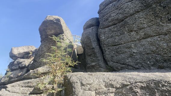
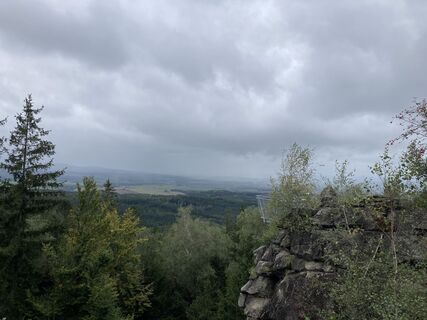
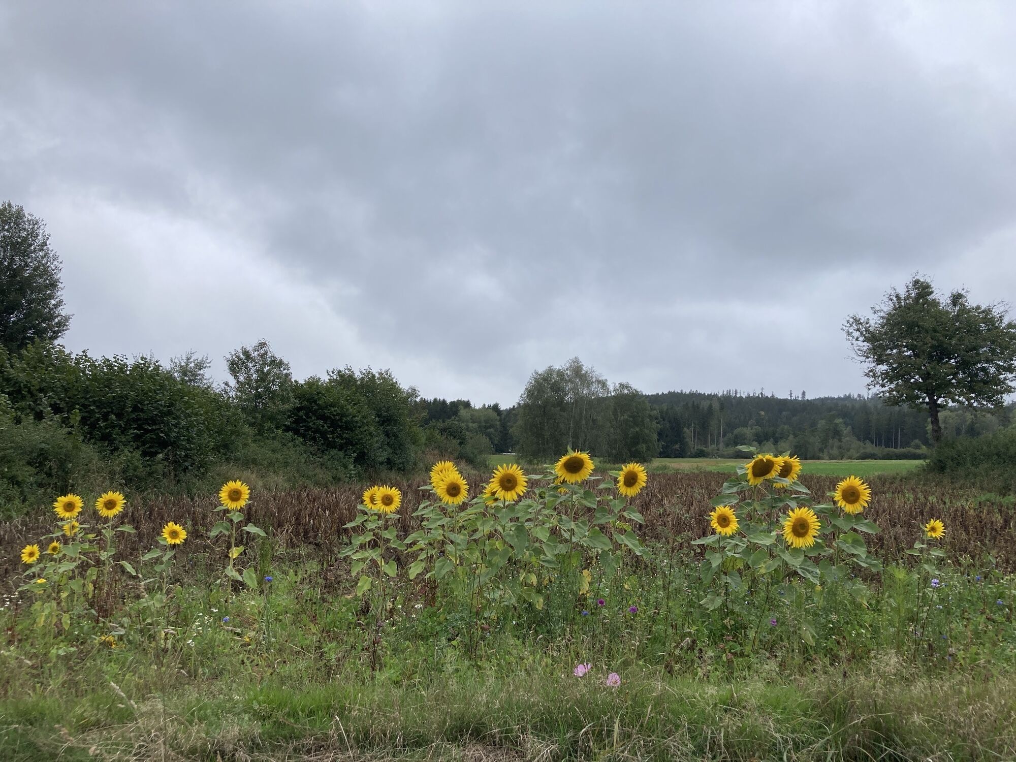
 © Christian HohausCreated on 27.09.2023
 -
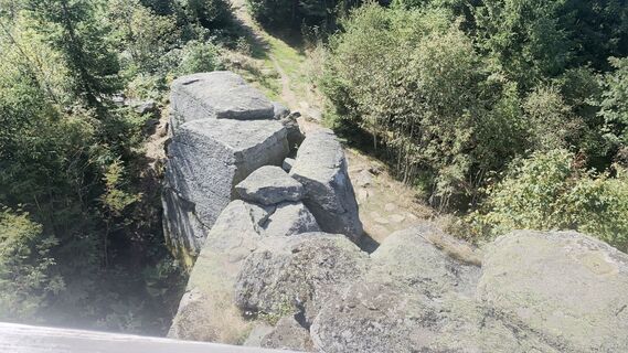
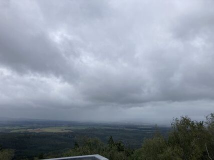
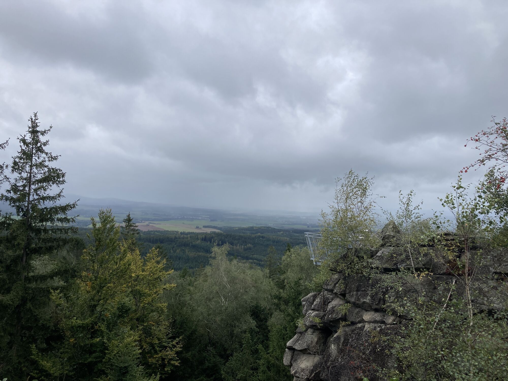
 © Christian HohausCreated on 27.09.2023
 -
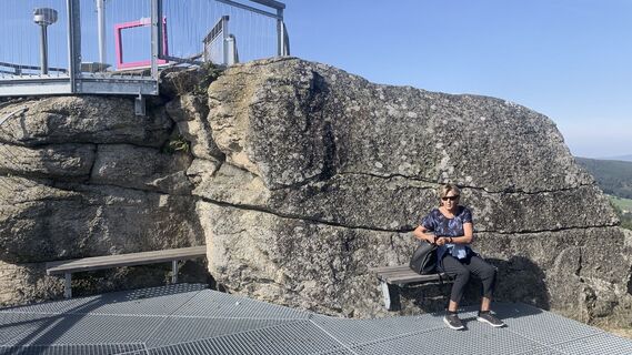
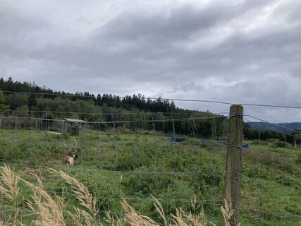
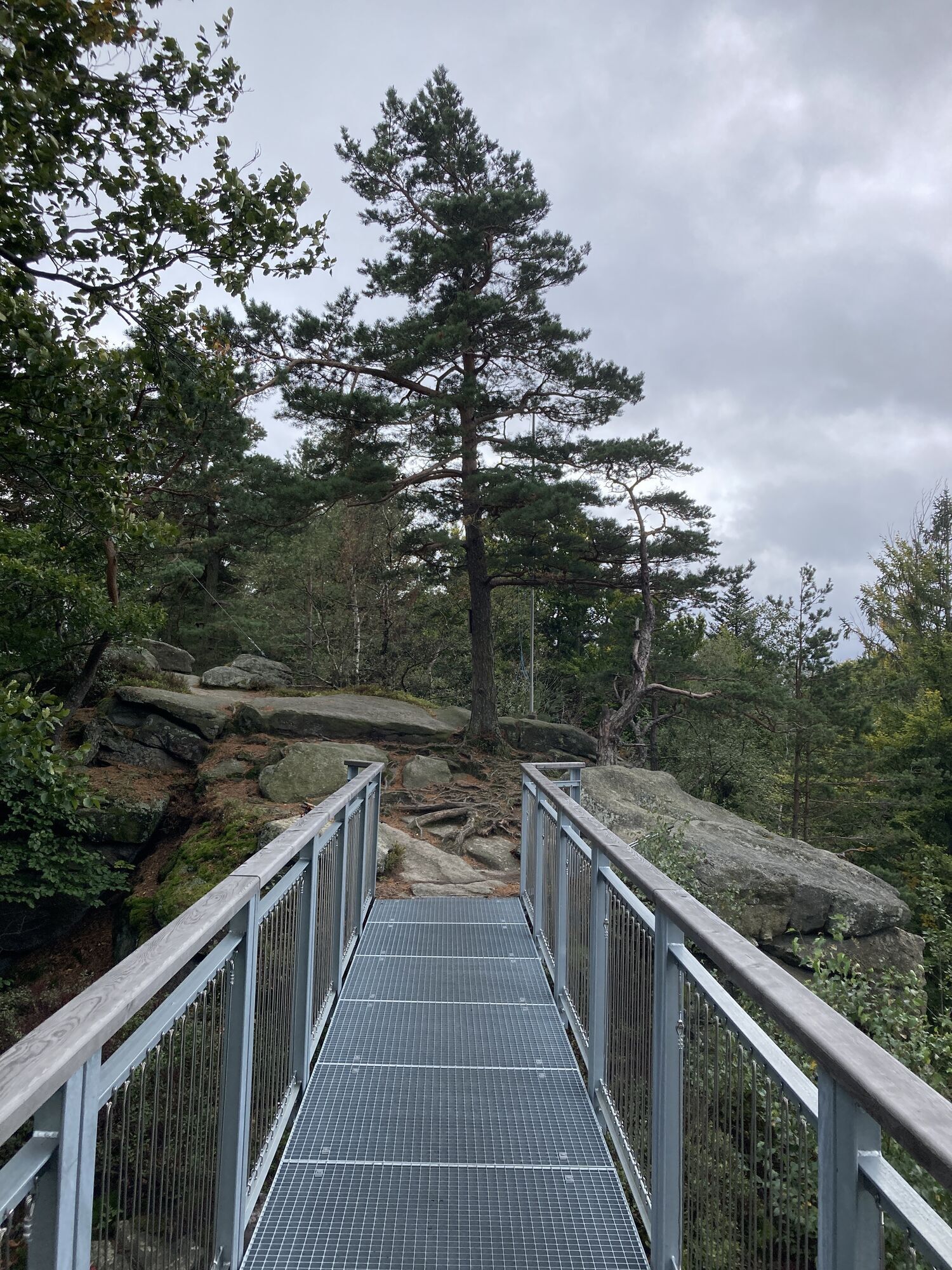
 © Christian HohausCreated on 27.09.2023
 -
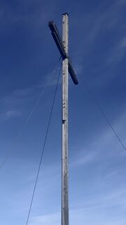
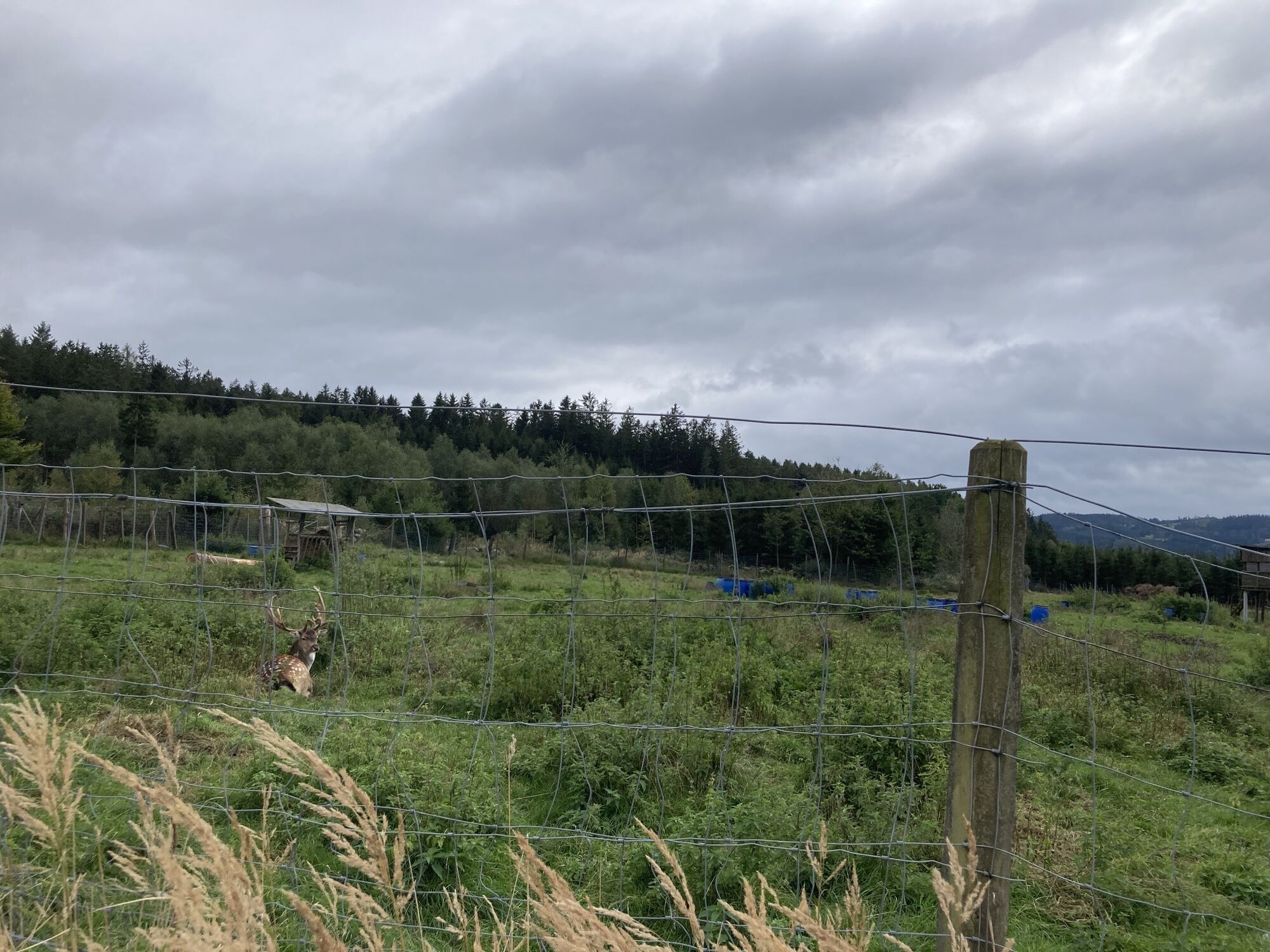
 © Christian HohausCreated on 27.09.2023
 -
 © Christian HohausCreated on 27.09.2023
 -
 © Christian HohausCreated on 27.09.2023
 -
 © Christian HohausCreated on 27.09.2023
 -
 © Christian HohausCreated on 27.09.2023
 -
 © Christian HohausCreated on 27.09.2023
 -
 © Christian HohausCreated on 27.09.2023
 -
 © Christian HohausCreated on 27.09.2023
 -
 © Christian HohausCreated on 27.09.2023
 -
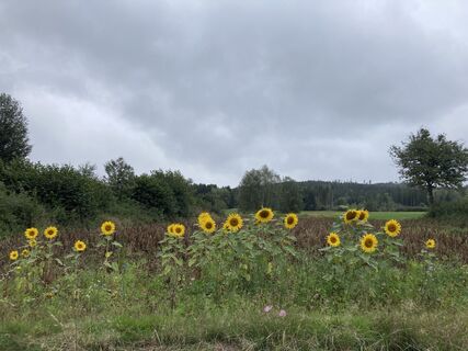
 © Anna HerzogCreated on 17.09.2022
 -
 © Anna HerzogCreated on 17.09.2022
 -
 © Anna HerzogCreated on 17.09.2022
 -
 © Anna HerzogCreated on 17.09.2022
 -
 © Anna HerzogCreated on 17.09.2022


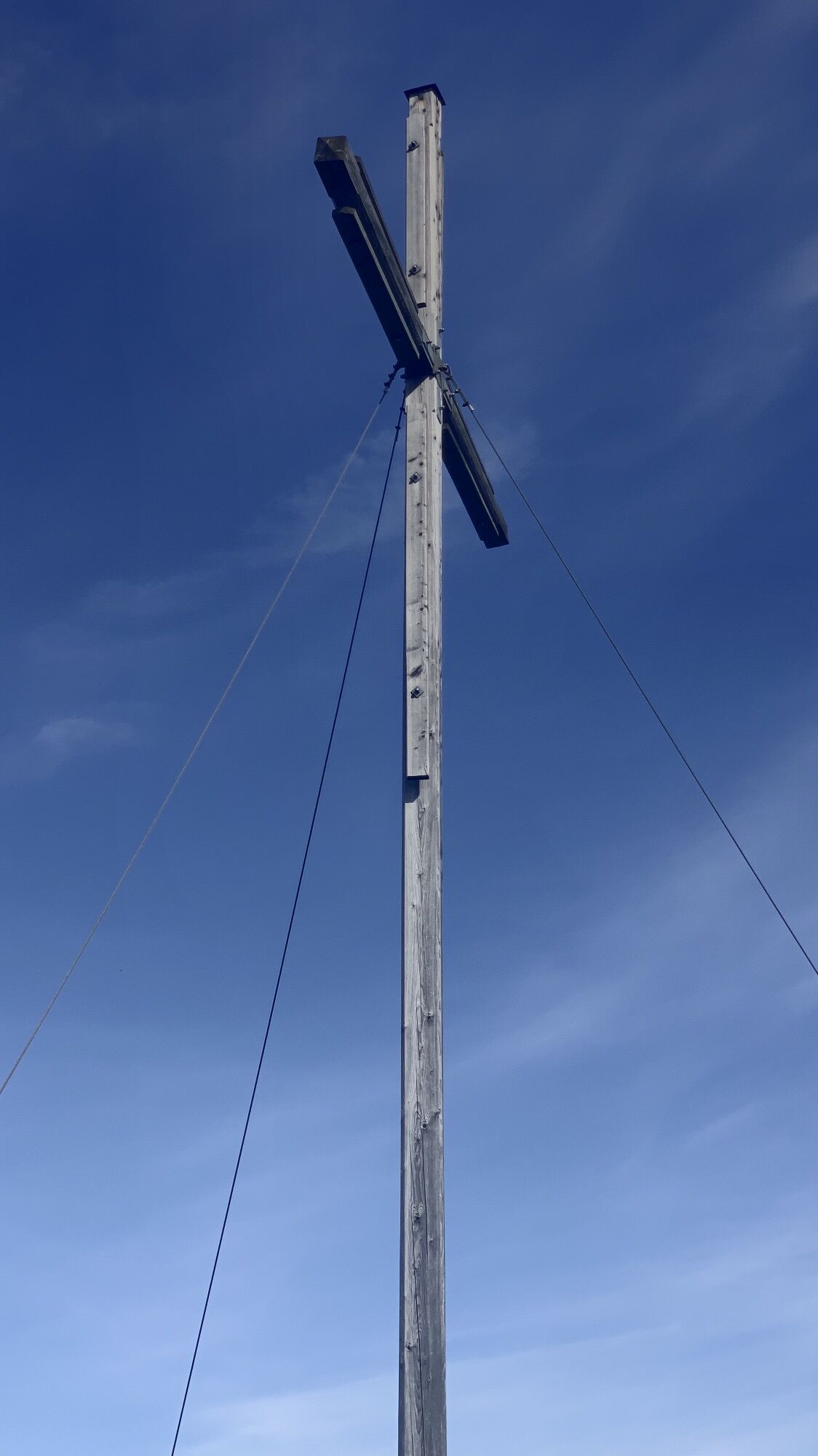

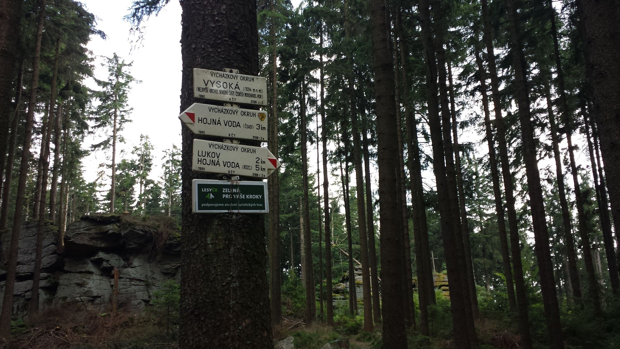
Der Tourverlauf beinhaltet die 3 höchsten Berge der österreichisch-tschechischen Grenzregion des Gratzener Berglandes. Es handelt sich um eine leichte Tour, für die man bis auf kurze Teilstüücke kein MTB...
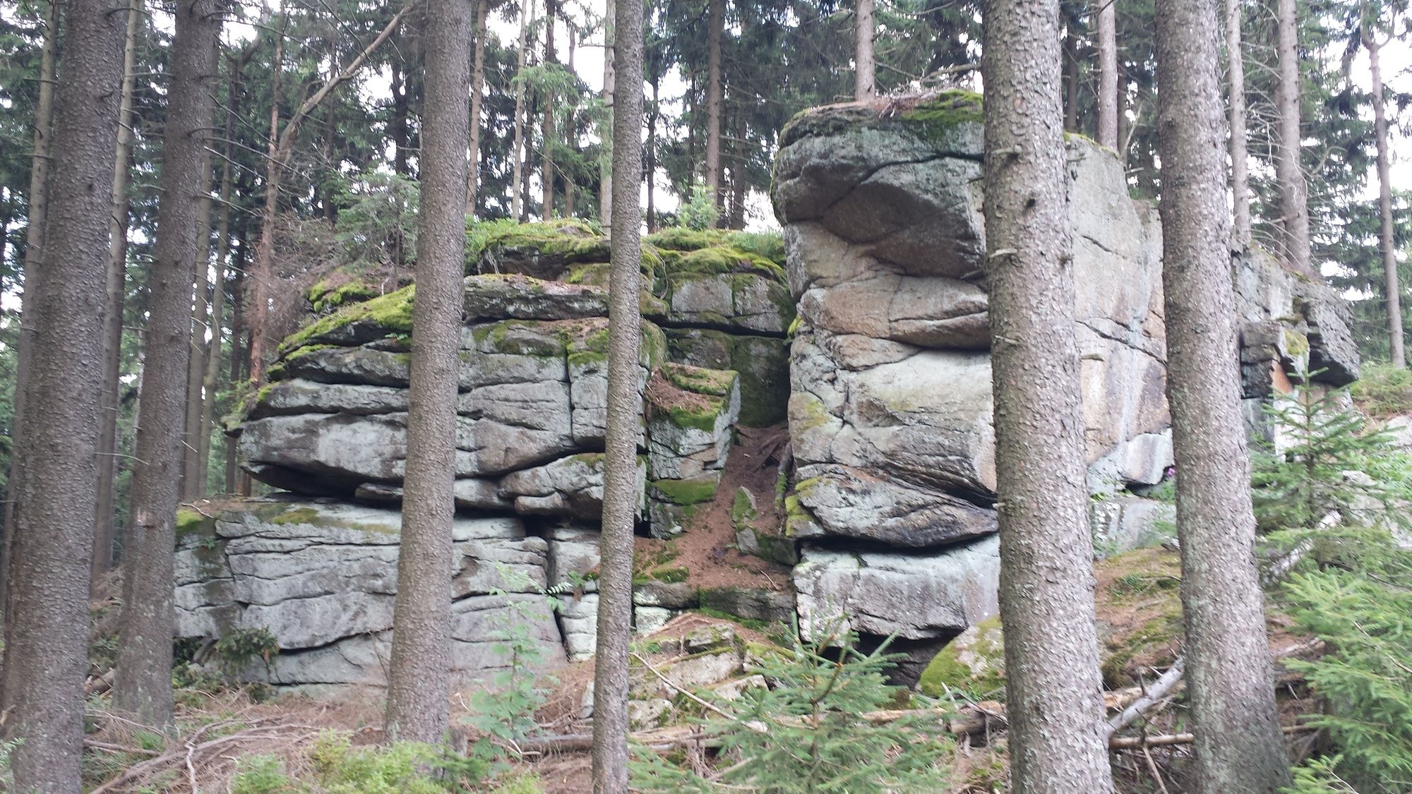
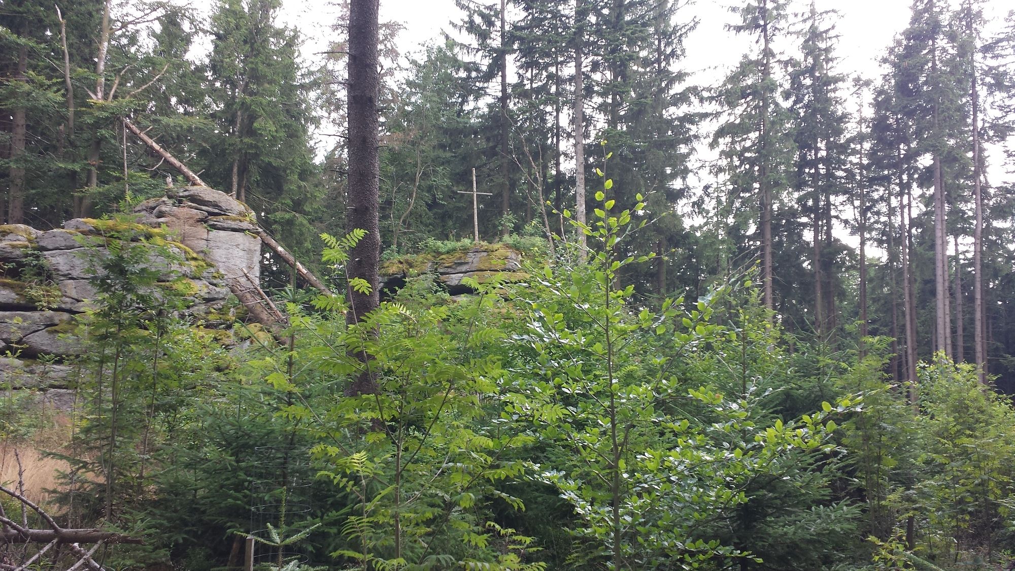
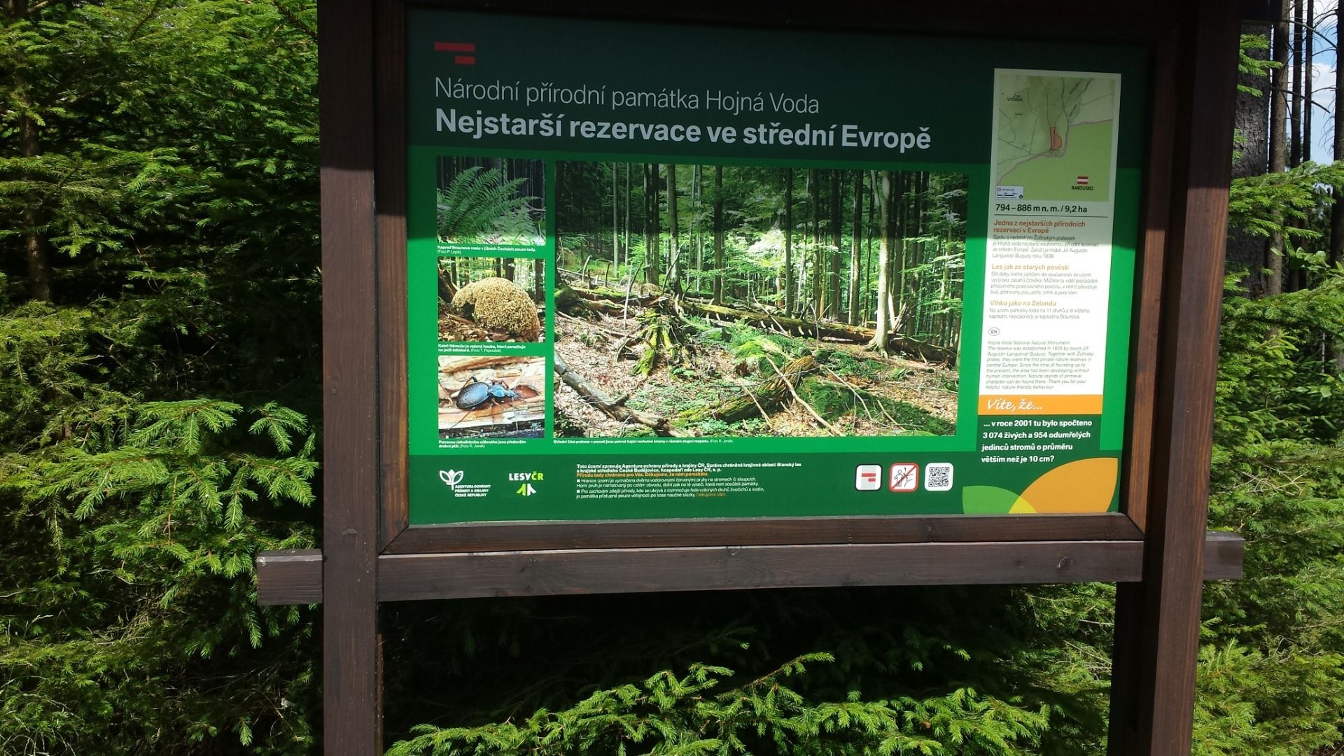
Der Tourverlauf beinhaltet die 3 höchsten Berge der österreichisch-tschechischen Grenzregion des Gratzener Berglandes. Es handelt sich um eine leichte Tour, für die man bis auf kurze Teilstüücke kein MTB benötigt. Der Anstieg zum Vysoka im tschechischen Teil der Tour durchquert den oberen Teil eines der ältesten Urwaldreservate in Europa. Die Tour kann noch in den Süden ausgedehnt werden. Empfehlenswert ist ein Besuch in Zofin. Dort gibt es ein tschechisches Restaurant.


Erweiterung der Tour nach Süden über Zofin
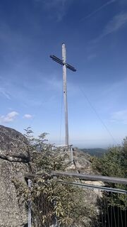
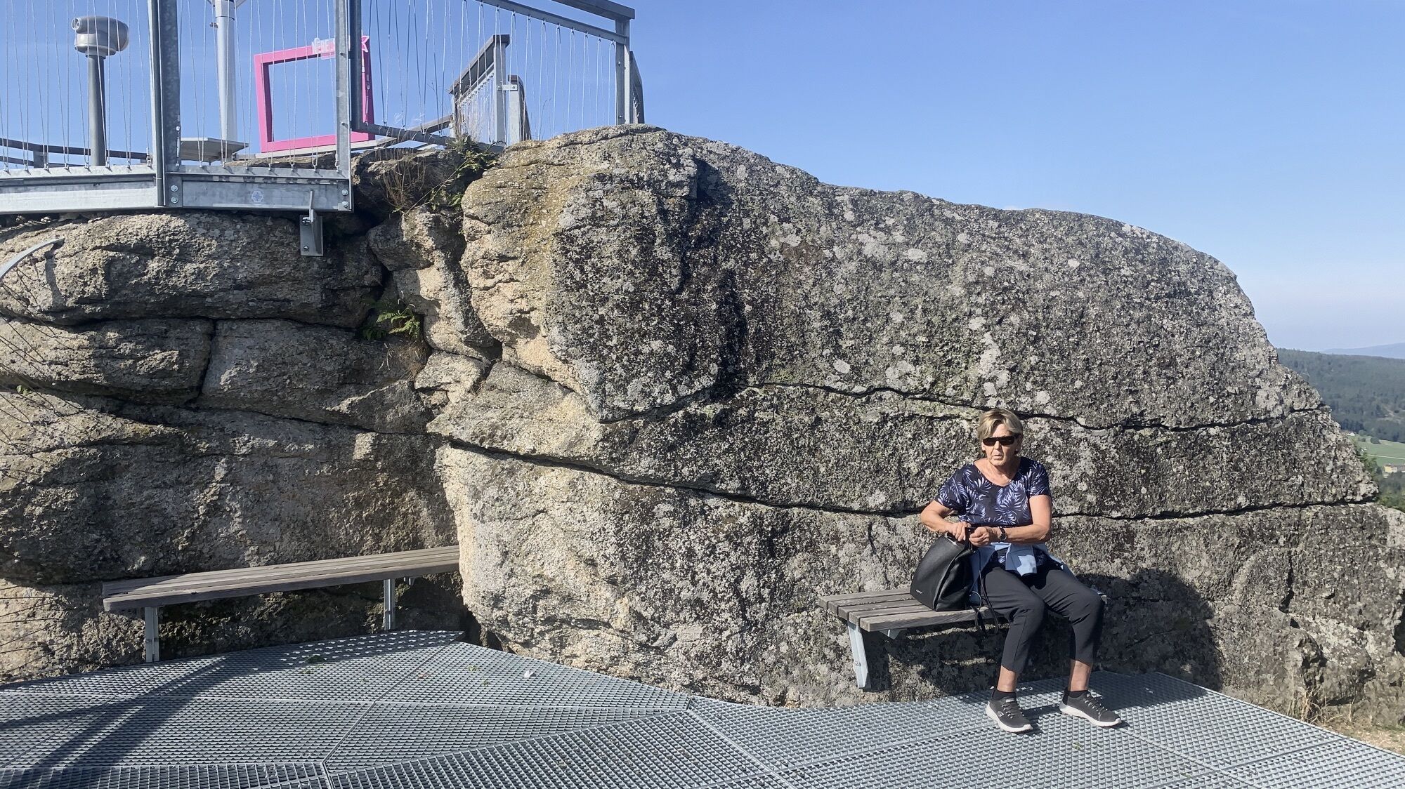
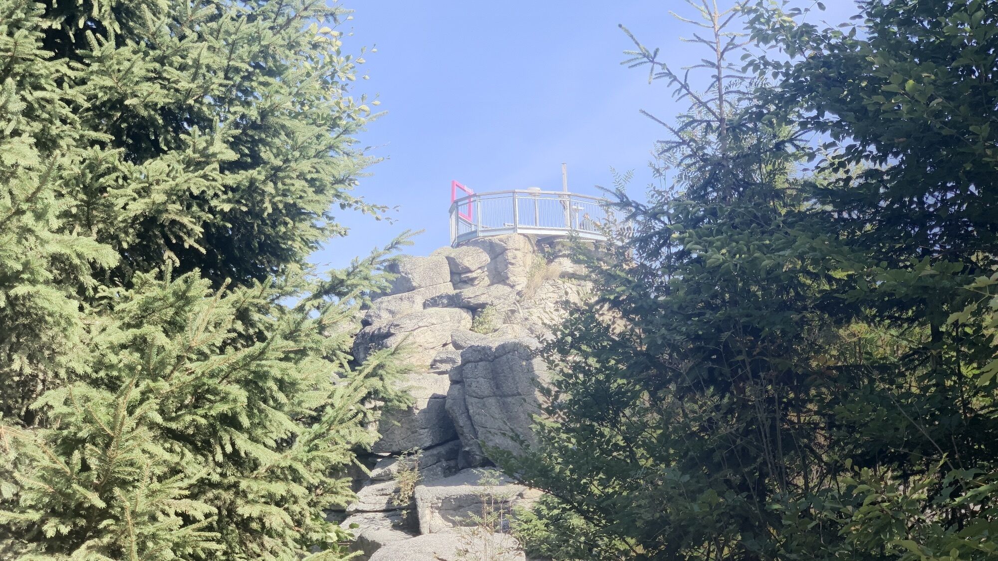
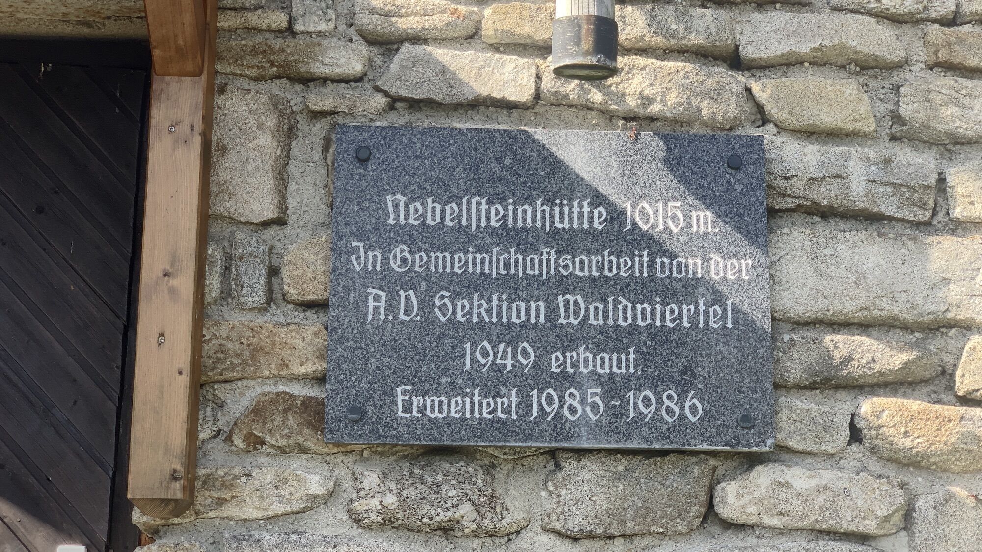
Nebelsteinhütte
Yes
MTB
Yes
Yes
1/6
1/6
Popular tours in the neighbourhood
-
4,4
Nebelstein Adventure Hiking Trail
mediumPješačenje 11,1 km -
5,0
Mandelstein von Moorbad aus
lightPješačenje 9,47 km -
5,0
Mandlstein Heinrichs bei Weitra Erlebnisweg
lightPješačenje 13,1 km -
4,8
Nebelstein Erlebniswanderweg
lightPješačenje 11,7 km -
3,2
Zwei-Tausender-Tour Tischberg-Eichelberg
lightPješačenje 12,4 km -
4,0
Nebelstein 1017m
lightPješačenje 6,08 km -
5,0
Nebelsteinweg I - No. 20
mediumPješačenje 7,36 km -
4,8
Ohynaweg Nr. 16
lightPješačenje 7,39 km -
5,0
Nebelsteinweg
Pješačenje 6,98 km -
4,5
Granittrail 1st stage: Gmünd - Langschlag
heavyMountainbike 47,9 km
bergfex Tours


Ne propustite ponude i inspiraciju za vaš sljedeći odmor
Your e-mail address has been added to the mailing list.