Hinternaßwald - Gamskogel - Amaißbichl - Lurgbauerhütte
heavy
Navigate
Navigate
Get this tour on your mobile
Hinternaßwald - Gamskogel - Amaißbichl - Lurgbauerhütte
heavy
Pješačenje
13,93
km
Scan the QR code and start navigation in the bergfex app

Hiking & Tracking


Distance
13,93
km
Duration
05:15
h
Ascent
1.154
m
Sea level
708 -
1.825
m
Track download
Hinternaßwald - Gamskogel - Amaißbichl - Lurgbauerhütte
heavy
Pješačenje
13,93
km


Photos from our users
-
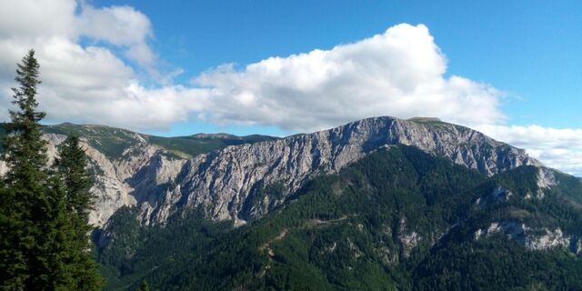
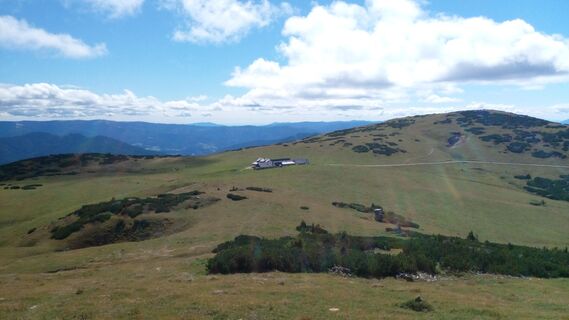
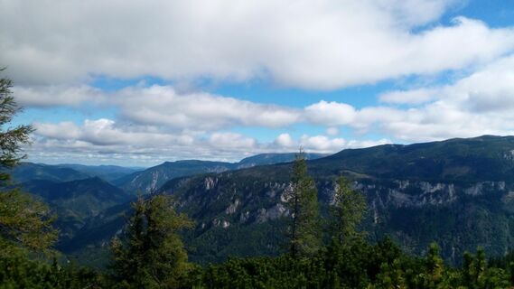
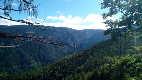
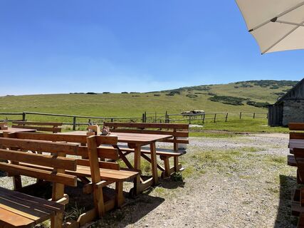
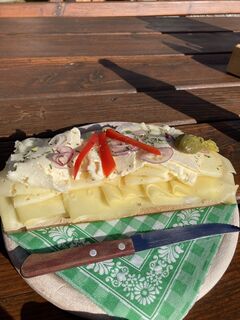
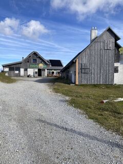
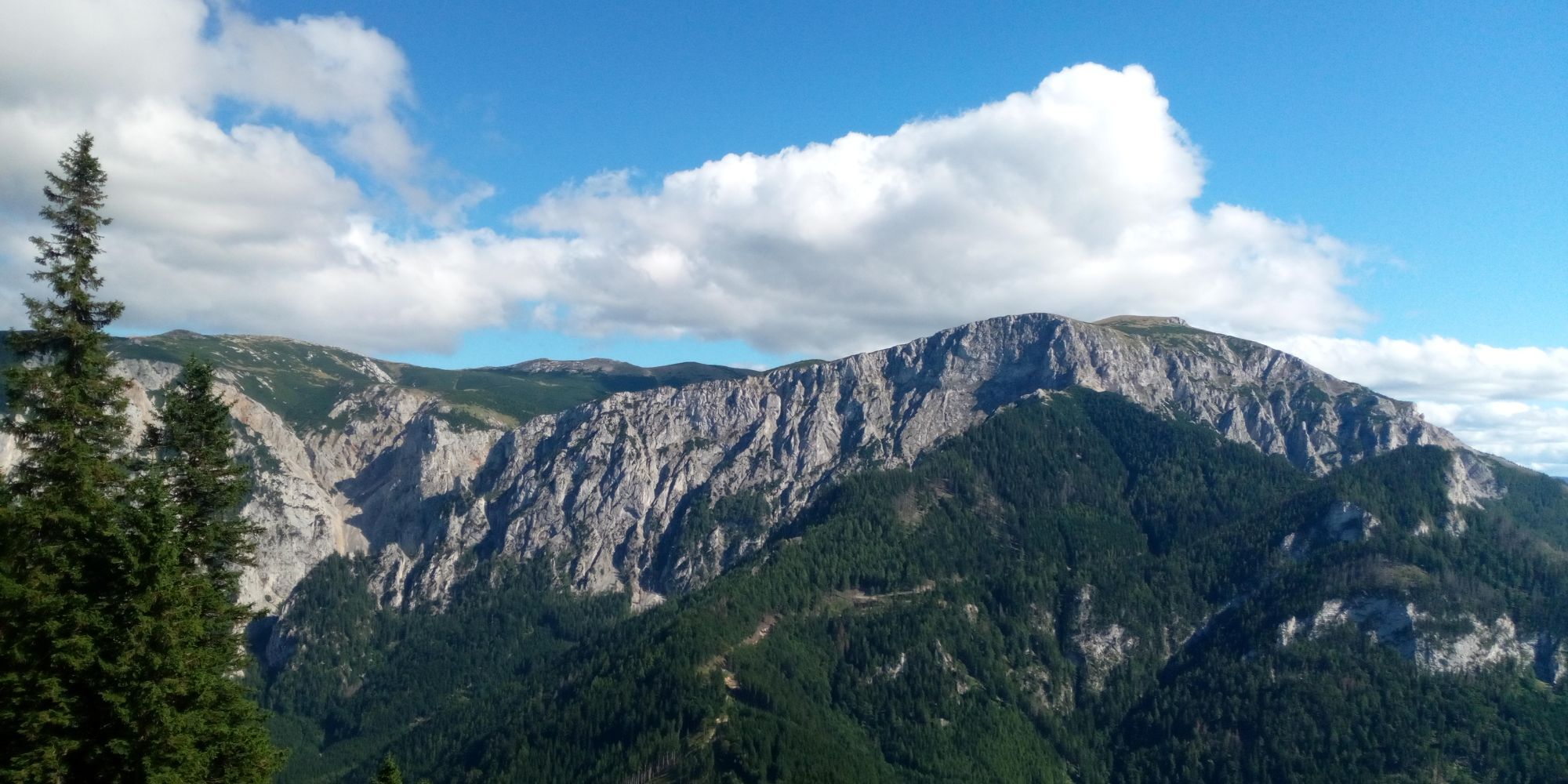
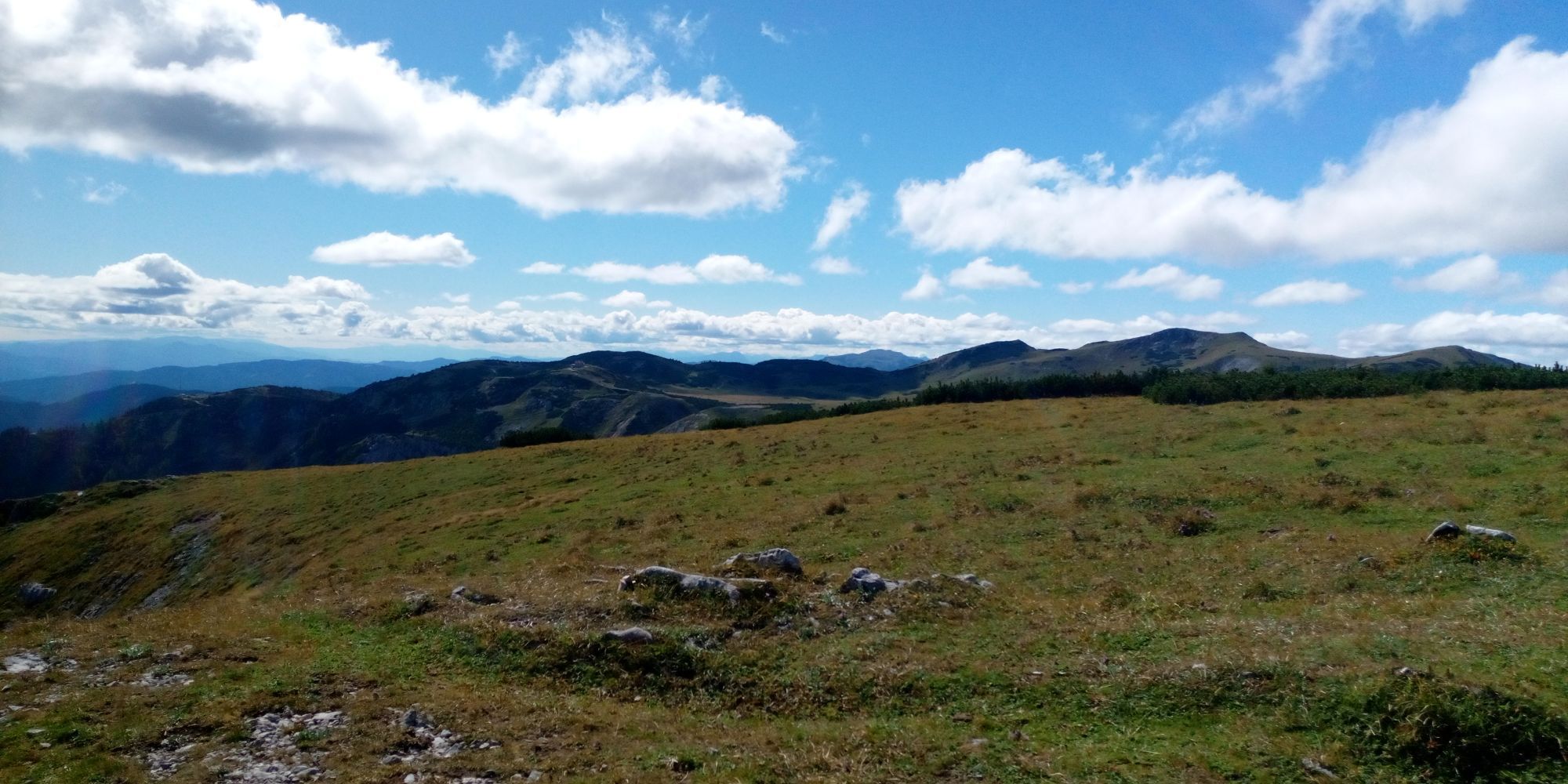
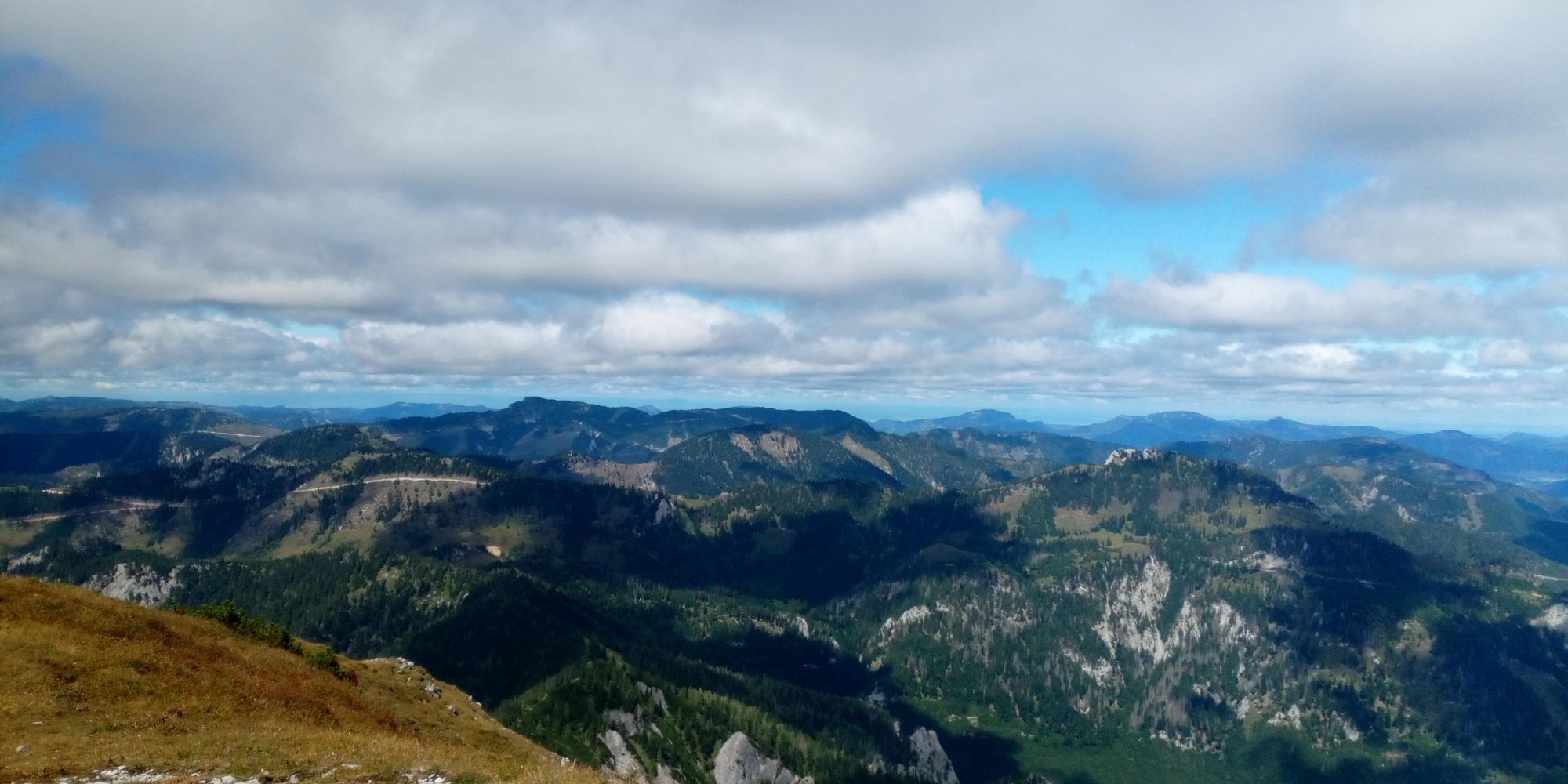
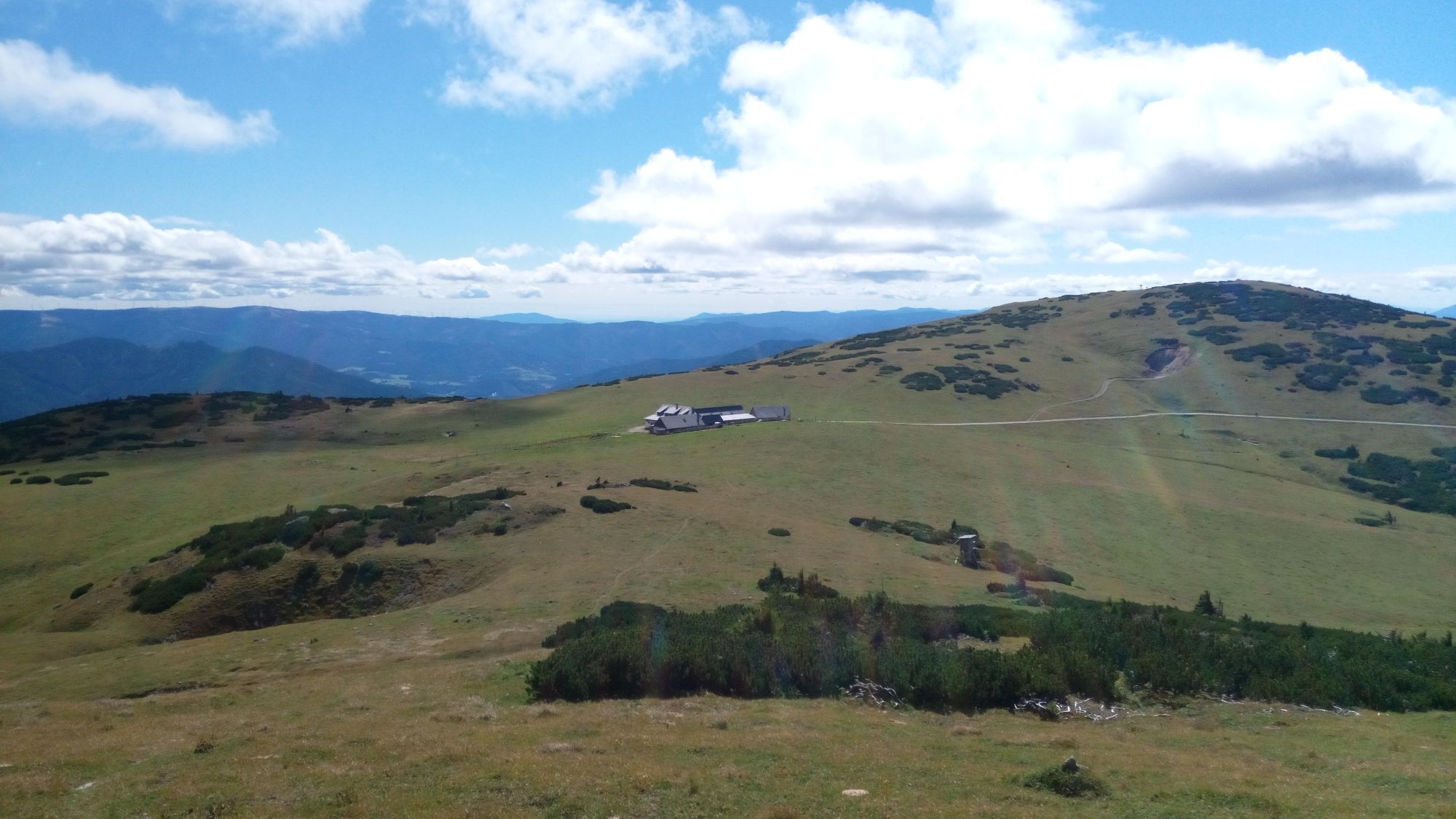
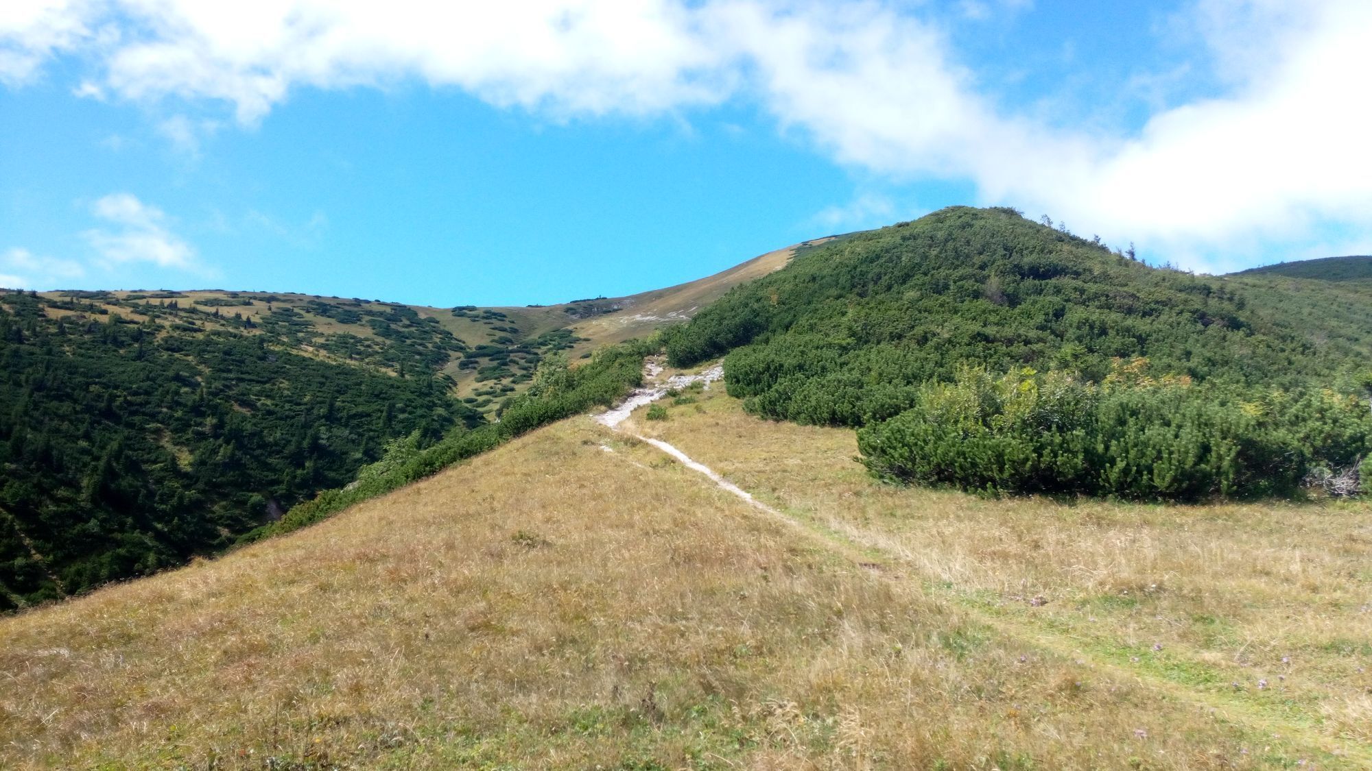
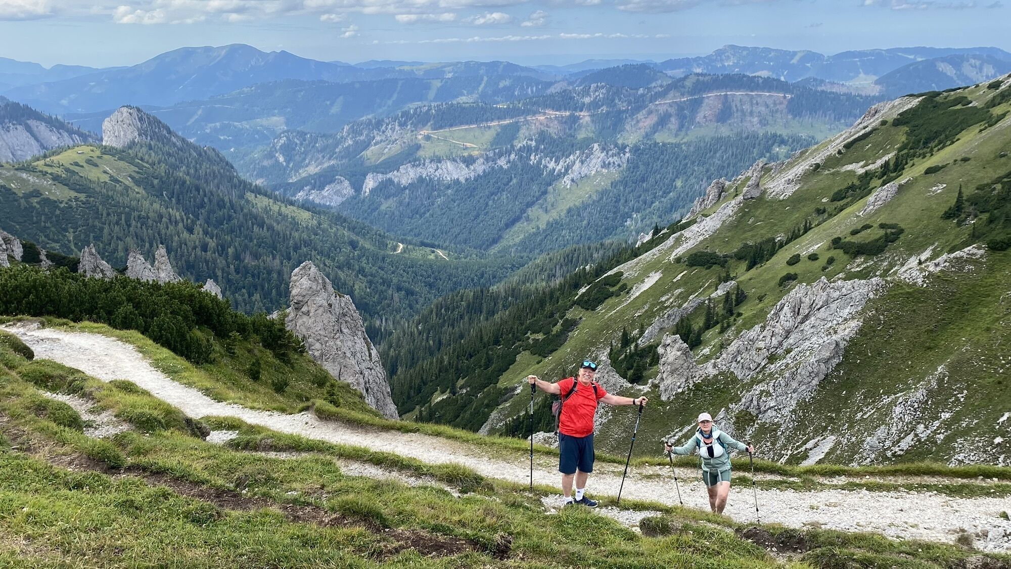
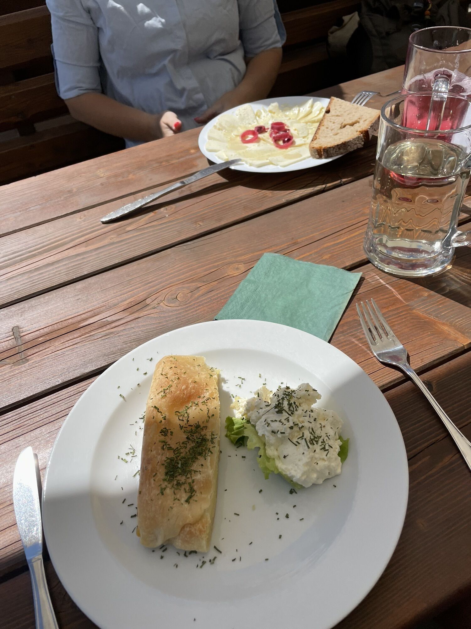
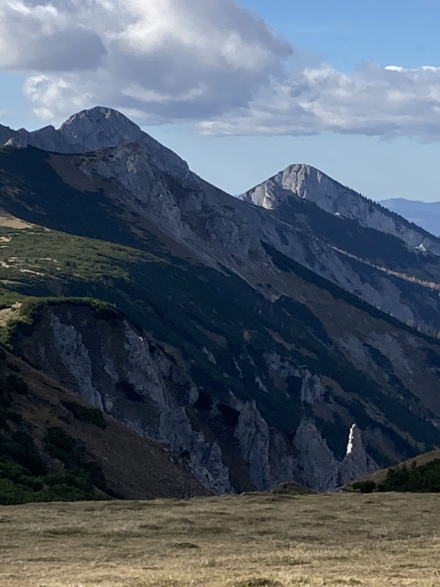
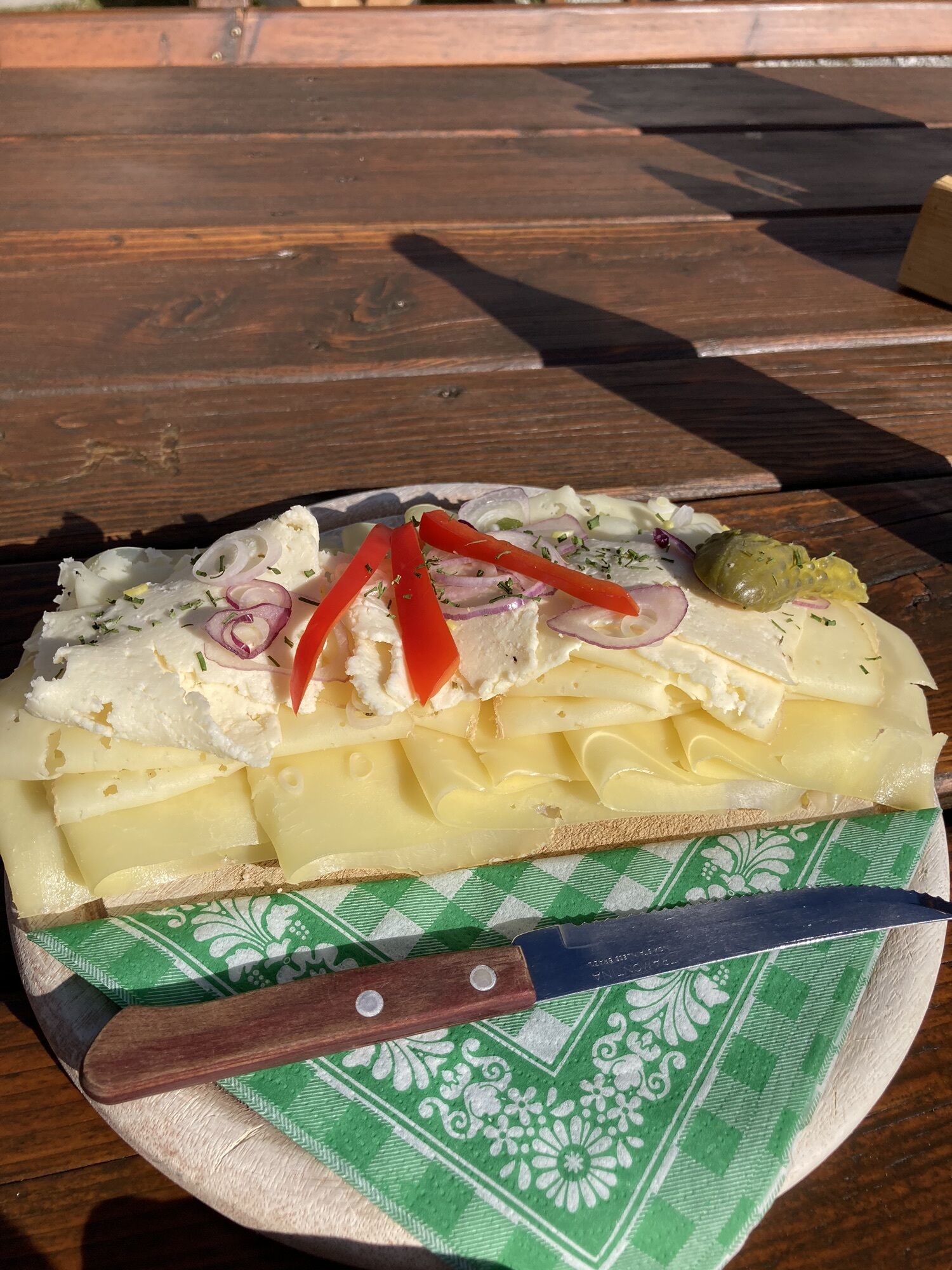
 © Marcin 1Created on 06.09.2025
 -
 © Marcin 1Created on 06.09.2025
 -
 © Marcin 1Created on 06.09.2025
 -
 © Marcin 1Created on 06.09.2025
 -
 © Marcin 1Created on 06.09.2025
 -
 © Marcin 1Created on 06.09.2025
 -
 © Marcin 1Created on 06.09.2025
 -

 © Margreth ReiterCreated on 06.08.2024
 -
 © Ralph WanderburgCreated on 15.08.2023
 -
 © Ralph WanderburgCreated on 15.08.2023
 -

 © Daniel VogelCreated on 27.10.2022
 -
 © Daniel VogelCreated on 27.10.2022
 -
 © Daniel VogelCreated on 27.10.2022


Route
Hinternaßwald
(713 m)
Settlement
0,1 km
Gamskogel
(1.031 m)
Summit
2,6 km
Amaißbichl
(1.828 m)
Summit
6,5 km
Kleine Nass
(1.209 m)
Mountain saddle
10,2 km
Reißbach-Halbhöhle
(769 m)
Cave entrance
12,7 km
Reißtalklammhöhle
(778 m)
Cave entrance
12,8 km
Reißtalquelle
(727 m)
Source
13,4 km
Route
Hinternaßwald - Gamskogel - Amaißbichl - Lurgbauerhütte
heavy
Pješačenje
13,93
km
Hinternaßwald
(713 m)
Settlement
0,1 km
Gamskogel
(1.031 m)
Summit
2,6 km
Amaißbichl
(1.828 m)
Summit
6,5 km
Lurgbauerhütte
(1.763 m)
Shelter
7,2 km
Kleine Nass
(1.209 m)
Mountain saddle
10,2 km
Reißbach-Halbhöhle
(769 m)
Cave entrance
12,7 km
Reißtalklammhöhle
(778 m)
Cave entrance
12,8 km
Reißtalquelle
(727 m)
Source
13,4 km
Hinternaßwald
(713 m)
Settlement
13,8 km
Last tracked
one week ago
No reviews yet
Popular tours in the neighbourhood
-
4,4
Familienwanderung auf die Schneealm im Naturpark Mürzer Oberland
lightPješačenje 9,86 km -
4,9
"Schneealpe" - "Windberg 1903m" Rundkurs
mediumPješačenje 14,3 km -
4,8
Raxplateau Runde 12km
mediumPješačenje 11,3 km -
4,7
Gsohlhirnsteig - Ottohaus - Törmweg (Rundwanderung)
mediumPješačenje 11,0 km -
4,6
Krummbachstein Rundwanderung, NÖ
mediumPješačenje 15,2 km -
4,8
Krummbachstein Dez 20
mediumPješačenje 15,7 km -
4,7
Rax Preiner Gscheid / Waxriegel / Waxriegelhaus / Göbl-Kühn-Steig / Seehütte
mediumPješačenje 9,62 km -
4,3
1st Viennese Water Pipeline Trail
mediumPješačenje 3,93 km -
4,7
HINTERNASSWALD Großer Sonnleitstein Amais-Wies-Hütte retour 20200801
mediumPješačenje 10,5 km -
5,0
Insider tip: Schneeberg via the Novembergrat
heavyPješačenje 13,5 km
bergfex Tours

Over 550.000 tour suggestions, detailed maps and an intuitive route planner make the app a must-have for all nature enthusiasts.

Ne propustite ponude i inspiraciju za vaš sljedeći odmor
Subscribe to the newsletter
Error
An error has occurred. Please try again.
Thank you for your registration
Your e-mail address has been added to the mailing list.
Tours throughout Europe
Austrija
Švicarska
Njemačka
Italija
Slovenija
Francuska
Nizozemska
Belgija
Poljska
Lihtenštajn
Češka
Slovačka
Španija
Hrvatska
Bosna i Hercegovina
Luksemburg
Andora
Portugal
Island
Ujedinjeno Kraljevstvo
Irska
Grčka
Albanija
Sjeverna Makedonija
Malta
Norveška
Crna Gora
Moldova
Kosovo
Mađarska
San Marino
Rumunjska
Estonija
Latvija
Bjelorusija
Cipar
Litva
Srbija
Bugarska
Monako
Danska
Švedska
Finska