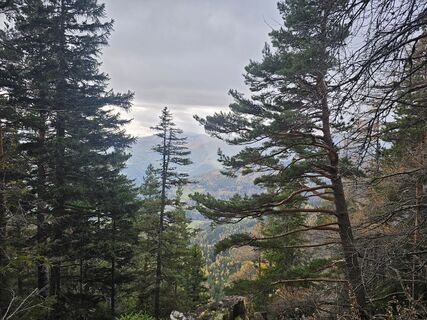
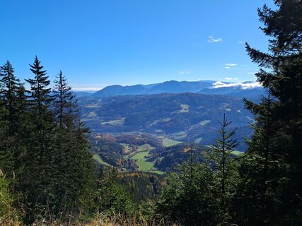
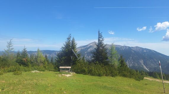
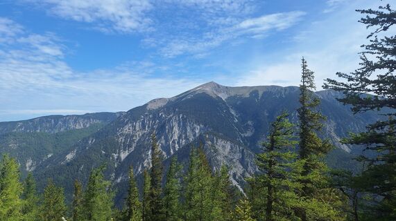
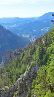
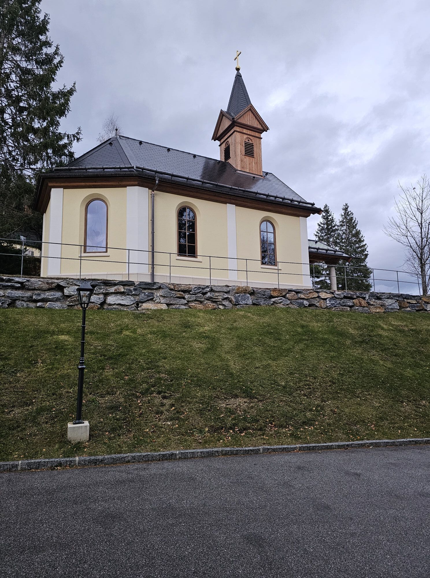
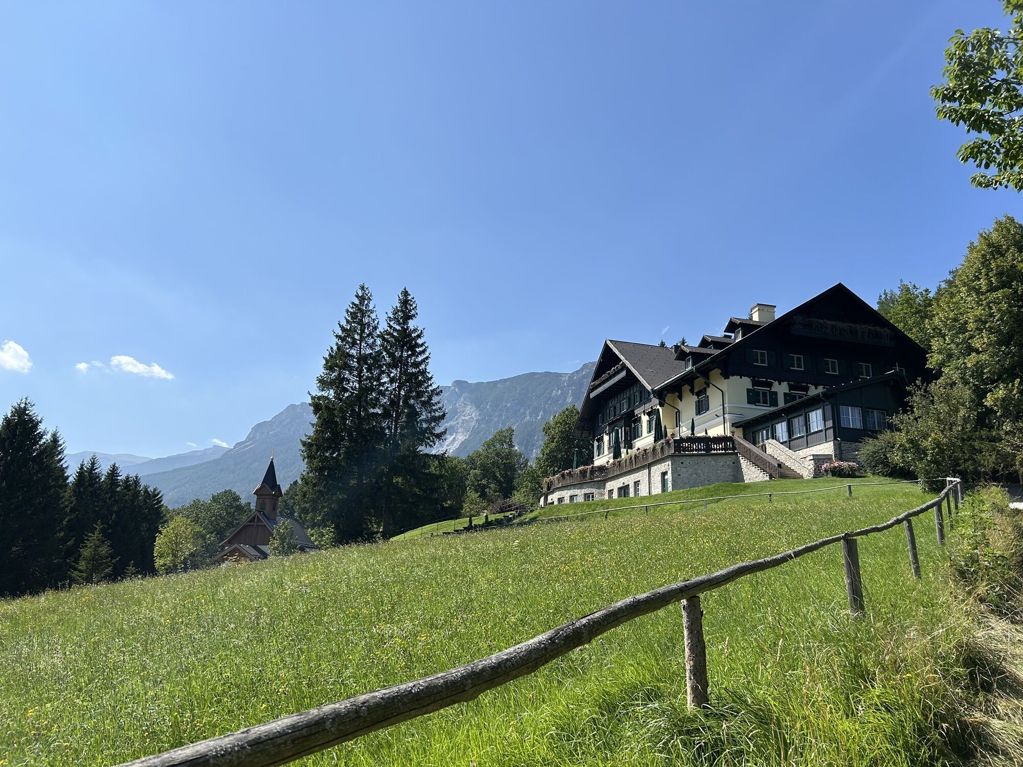
Gemeinde Reichenau an der Rax, Niederösterreich/Österreich
medium
Navigate
Navigate
Get this tour on your mobile
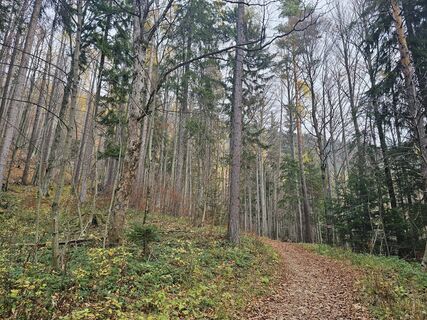
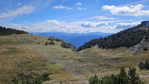
Gemeinde Reichenau an der Rax, Niederösterreich/Österreich
medium
Pješačenje
13,27
km
Scan the QR code and start navigation in the bergfex app

Hiking & Tracking


Distance
13,27
km
Duration
05:56
h
Ascent
1.110
m
Sea level
503 -
1.641
m
Track download
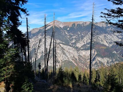
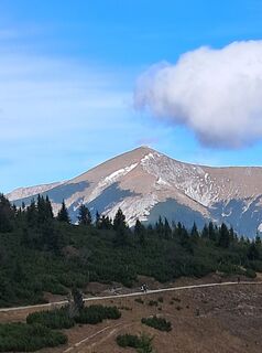
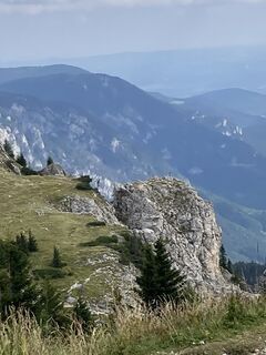
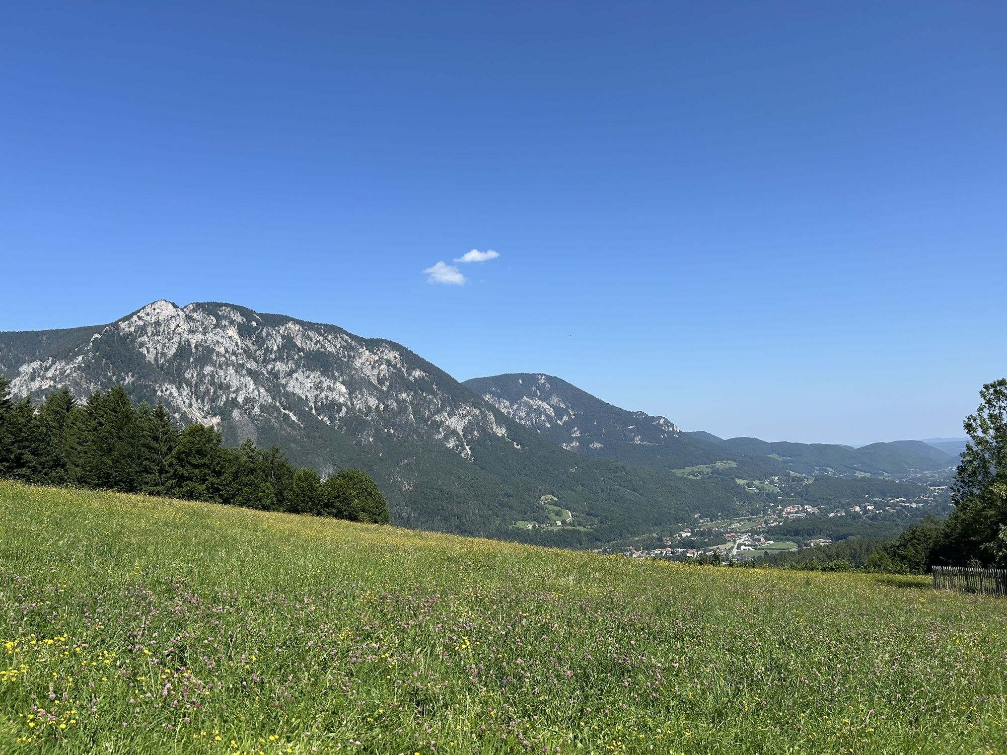
Gemeinde Reichenau an der Rax, Niederösterreich/Österreich
medium
Pješačenje
13,27
km


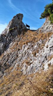
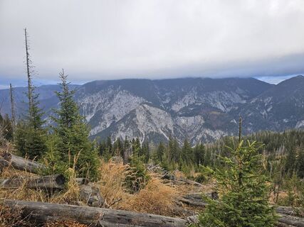
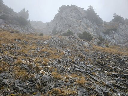
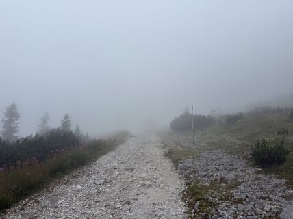
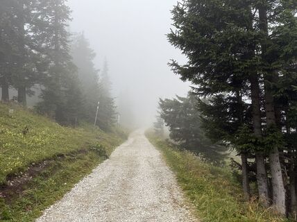
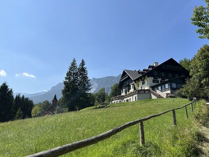
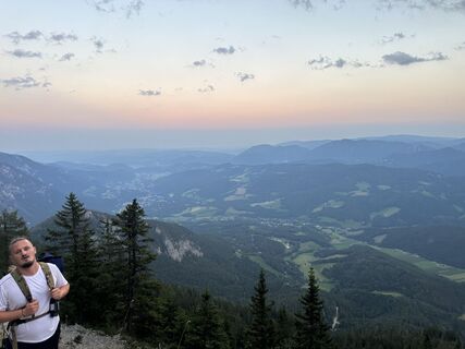
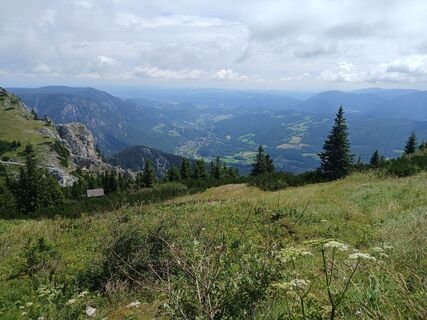
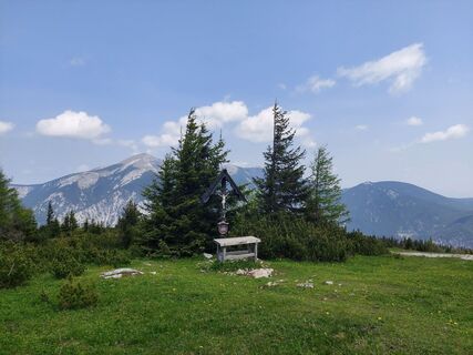
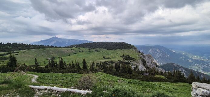
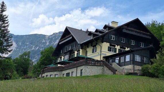
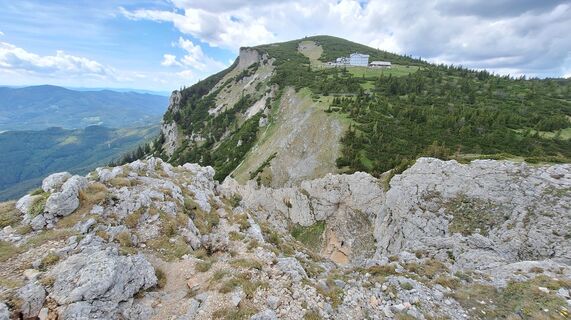
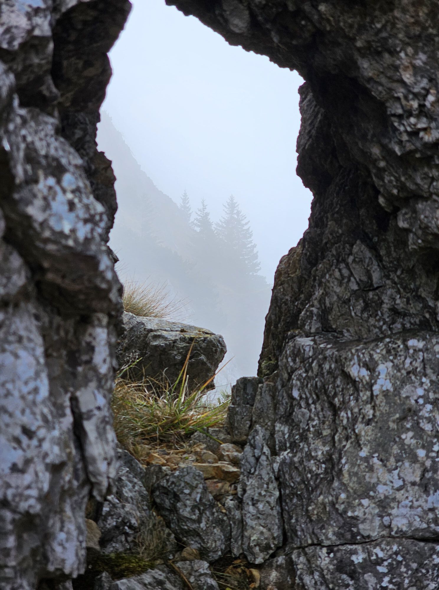
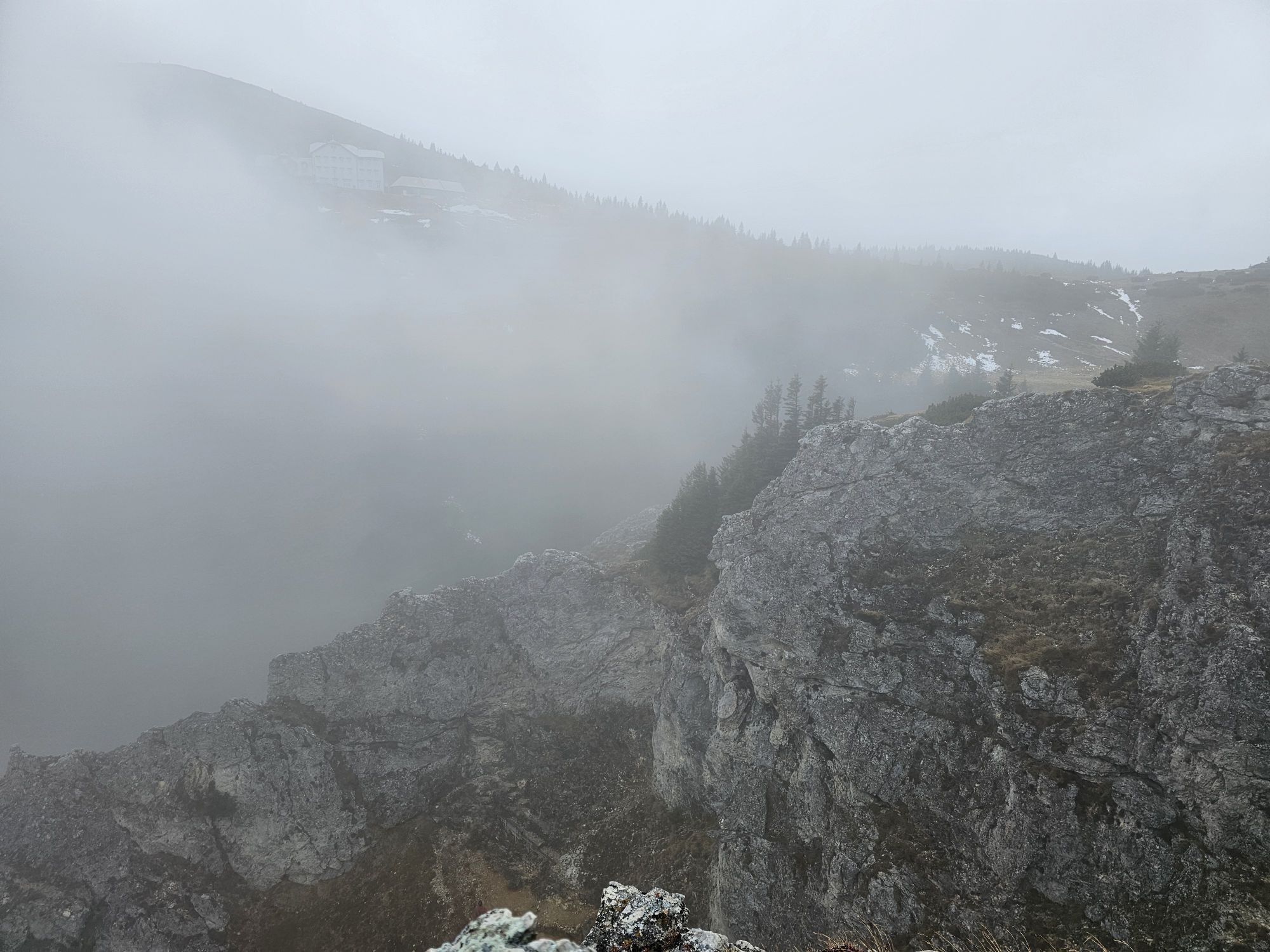
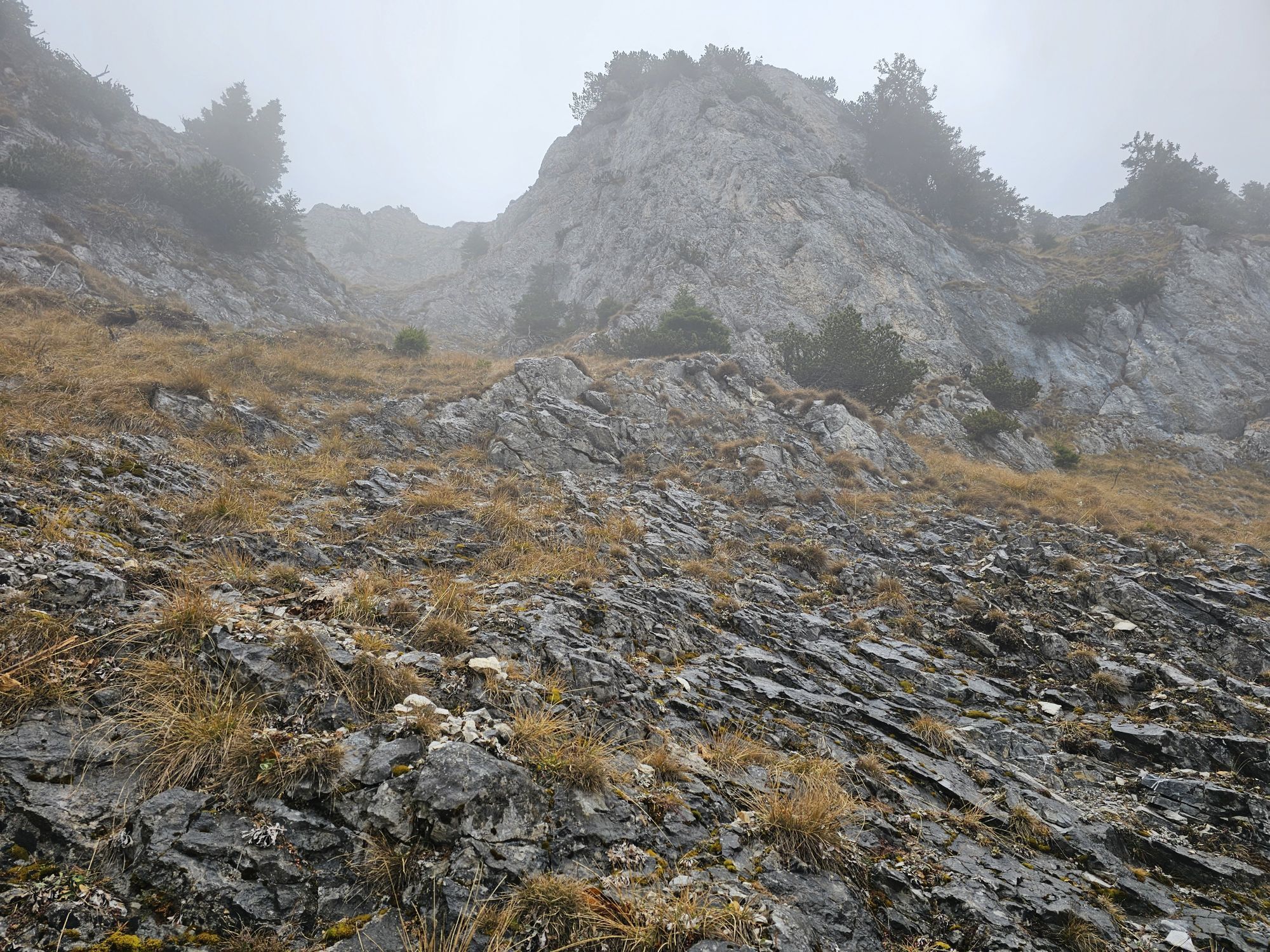
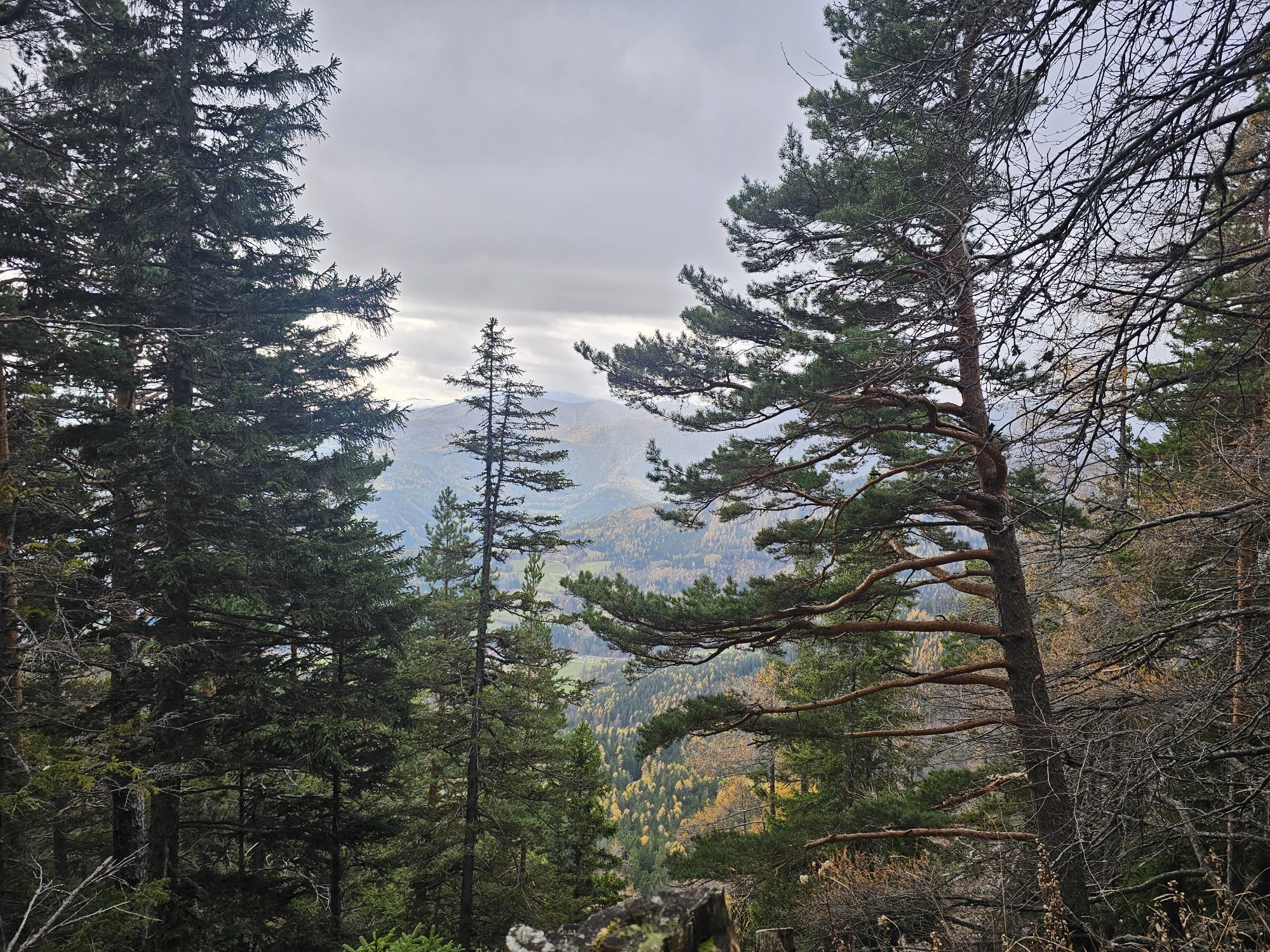
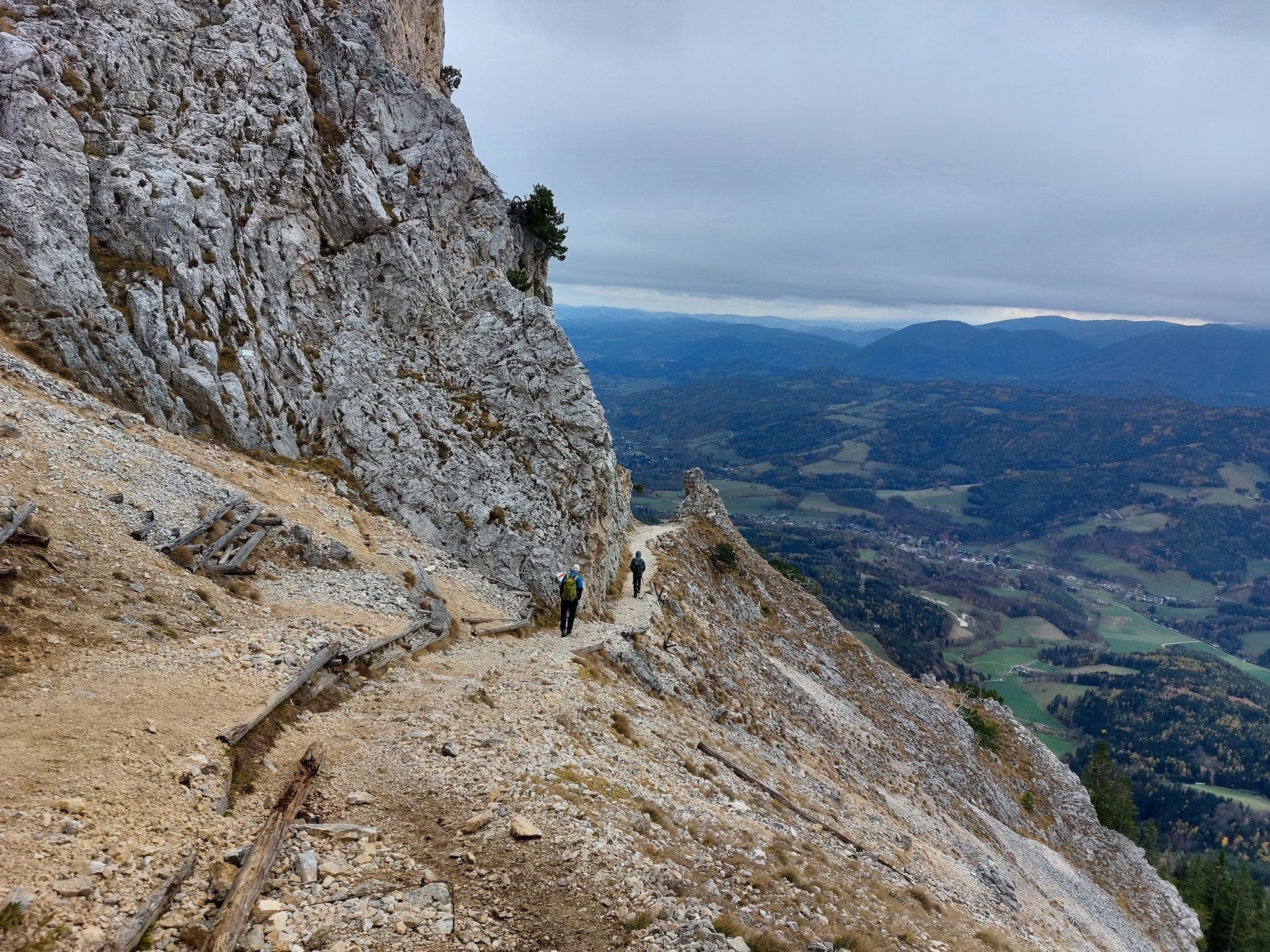
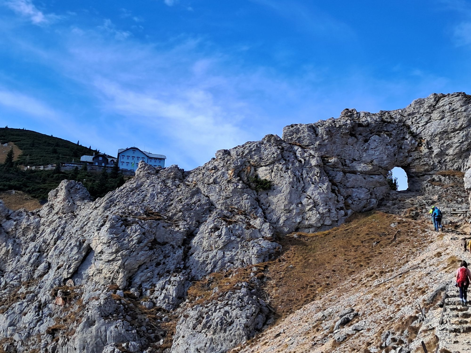
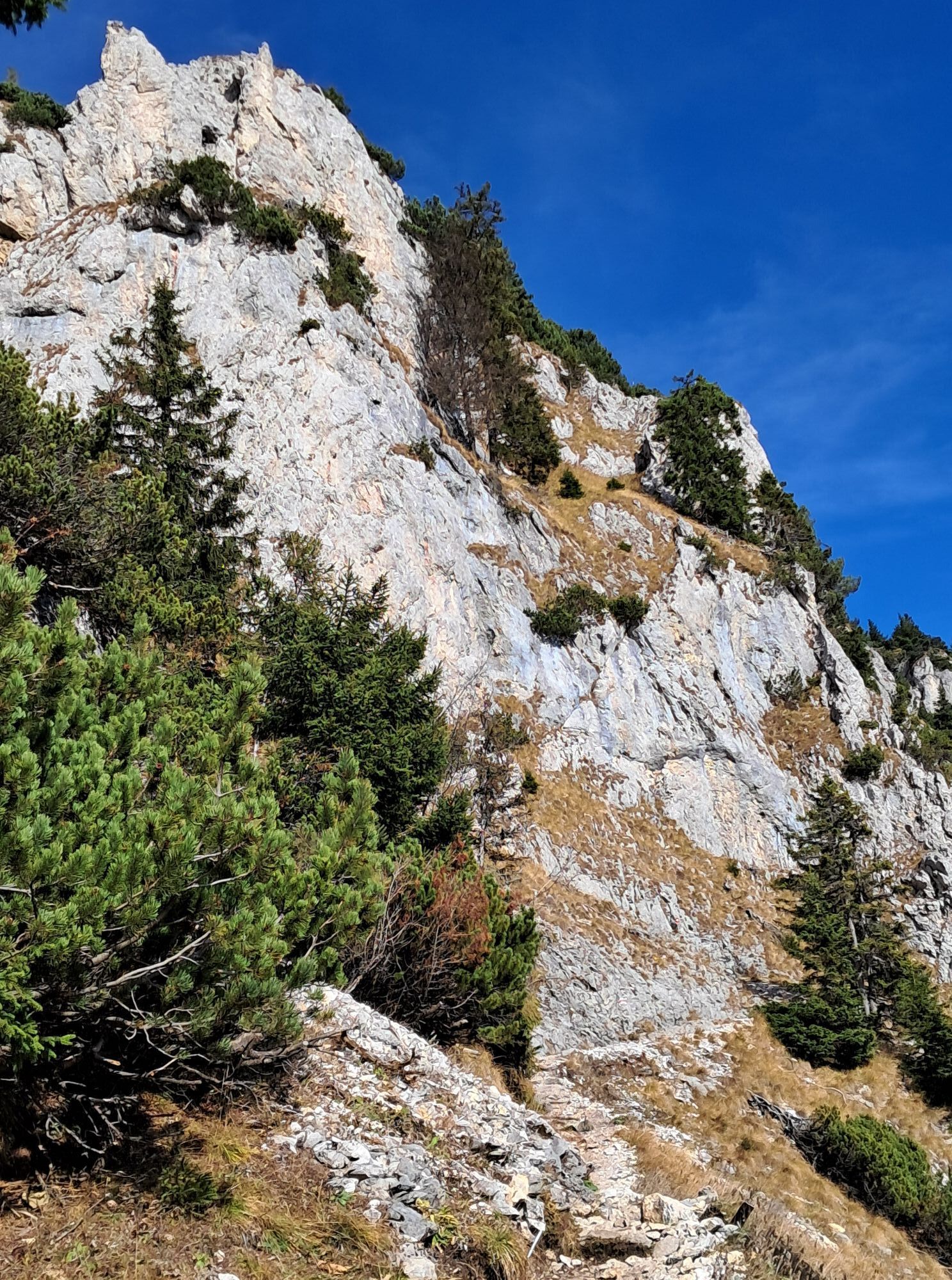
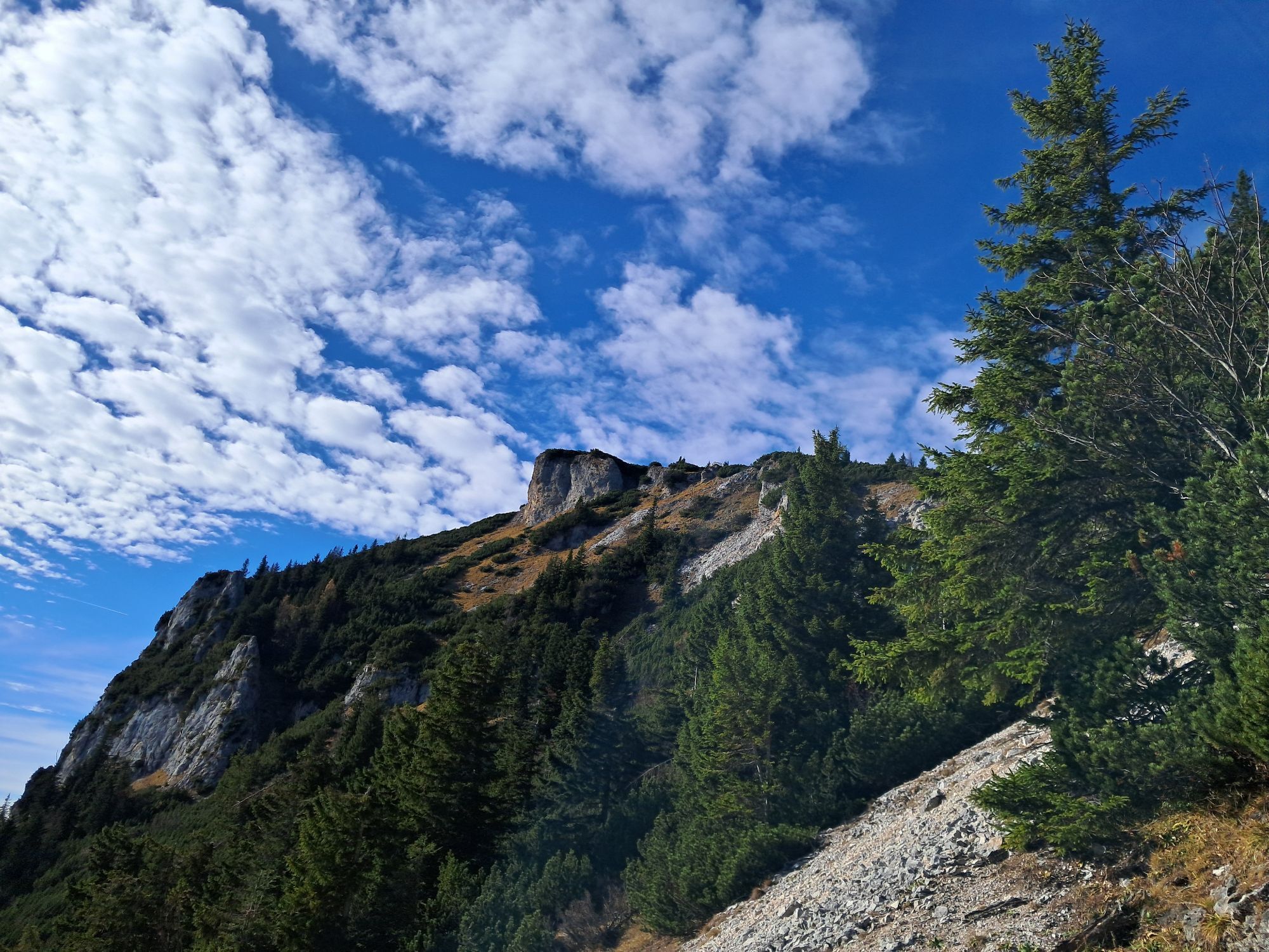
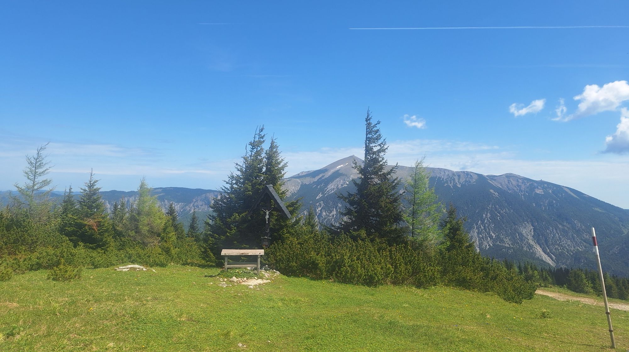
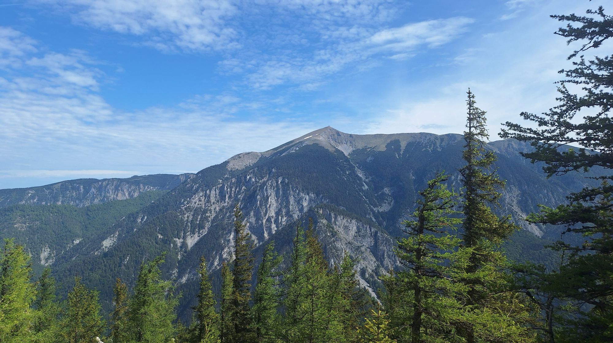
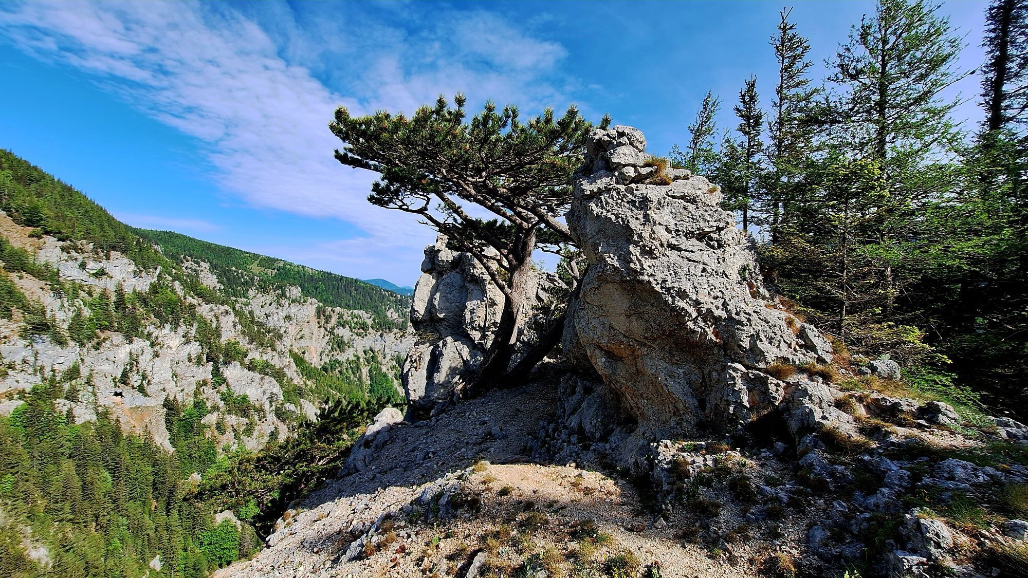
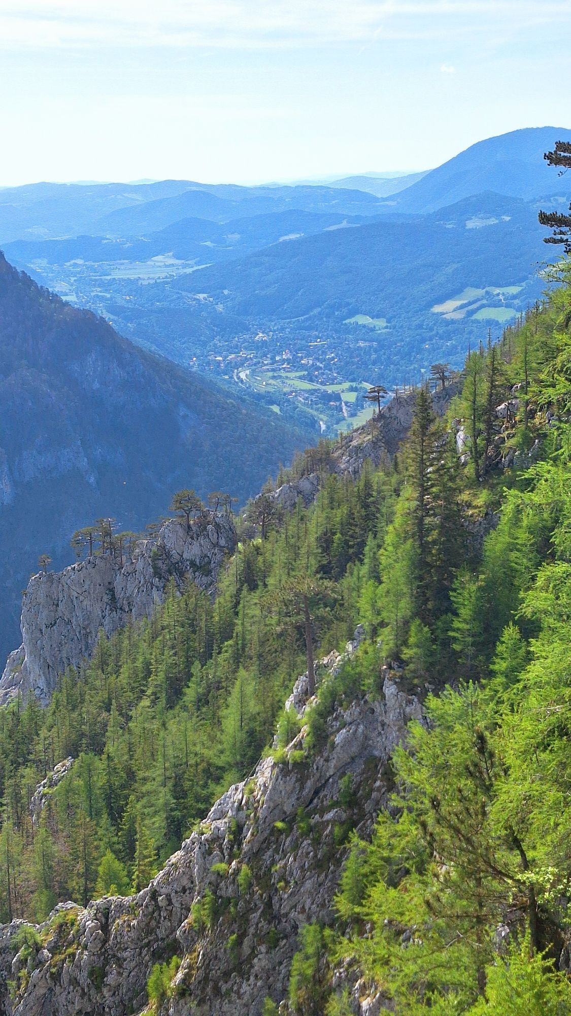
Photos from our users
-
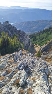
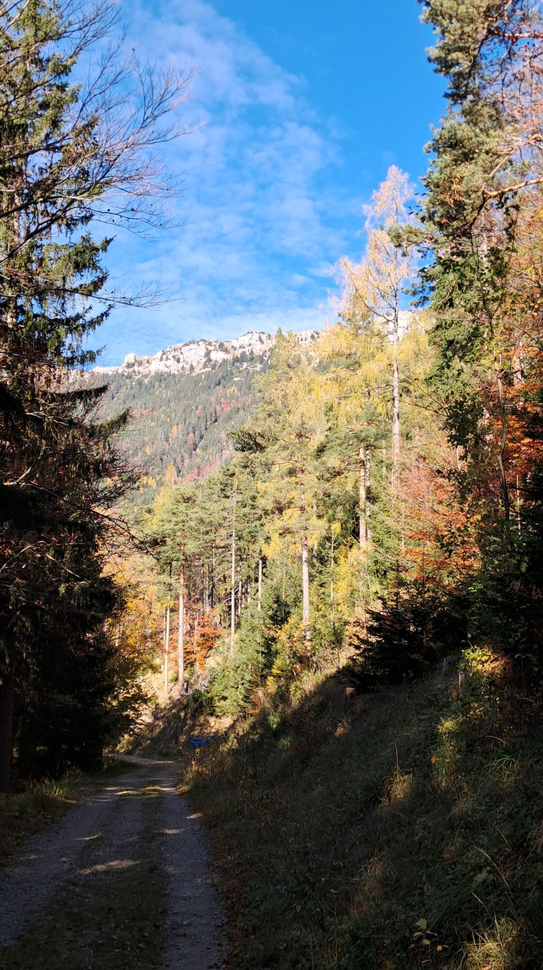
 © Aga MCreated on 16.11.2025
 -
 © Aga MCreated on 16.11.2025
 -
 © Aga MCreated on 16.11.2025
 -

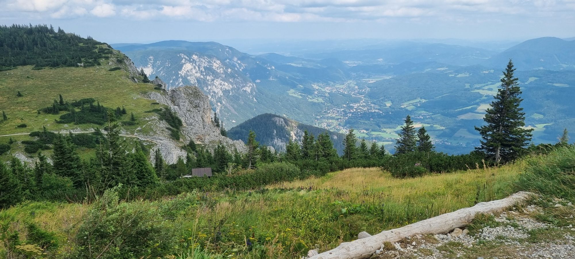
 © Matheo KrauleCreated on 09.11.2025
 -
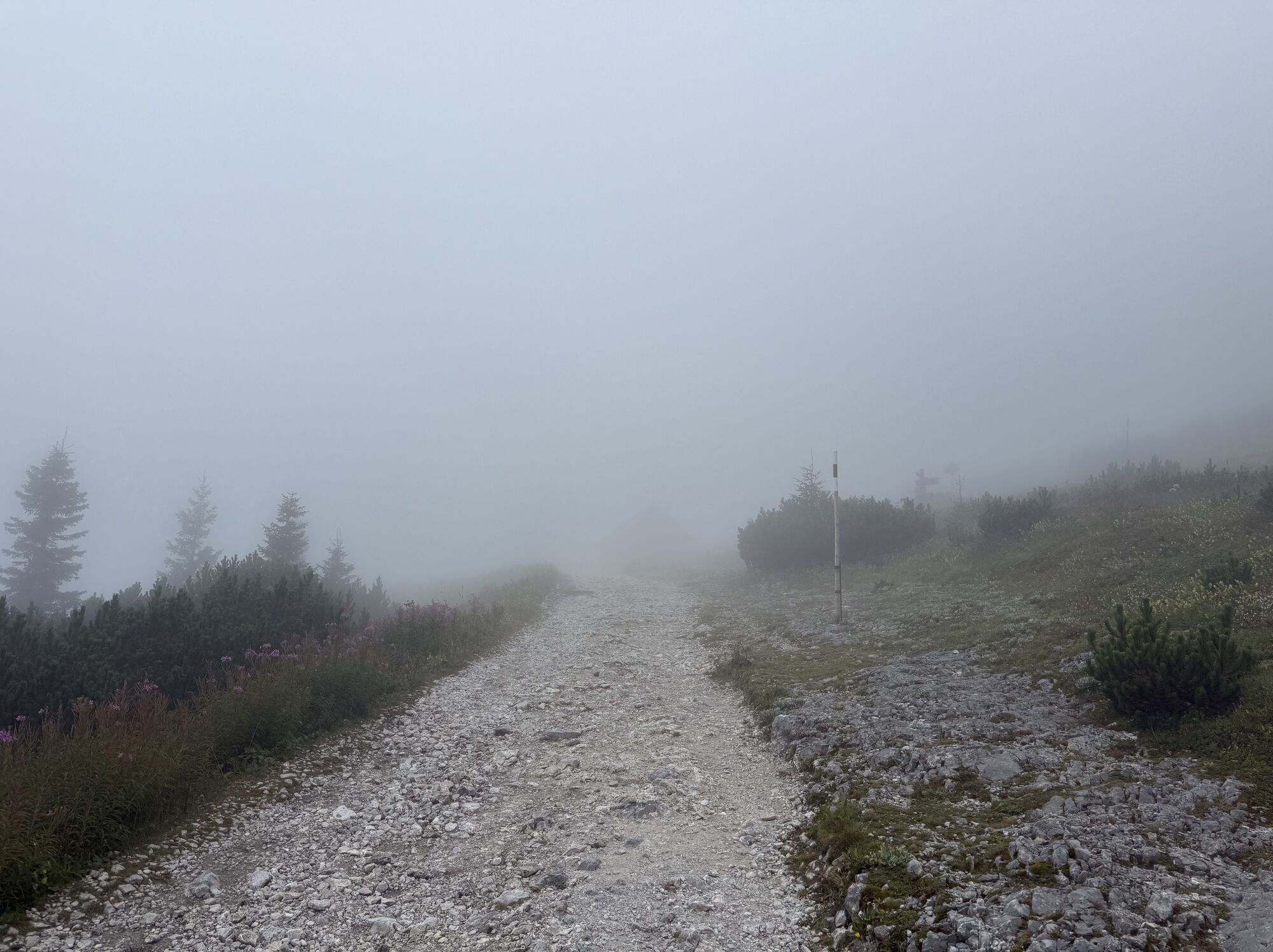
 © Matheo KrauleCreated on 09.11.2025
 -
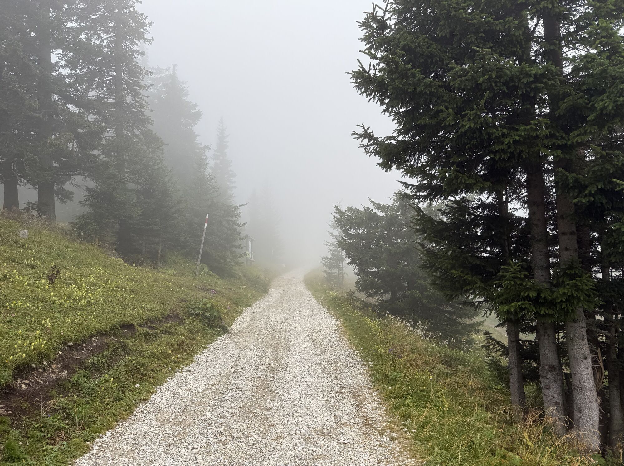
 © Matheo KrauleCreated on 09.11.2025
 -
 © Matheo KrauleCreated on 09.11.2025
 -
 © Matheo KrauleCreated on 09.11.2025
 -
 © Matheo KrauleCreated on 09.11.2025
 -
 © Matheo KrauleCreated on 09.11.2025
 -

 © Karin SvozilCreated on 08.11.2025
 -
 © Britta BürgerCreated on 01.11.2025
 -
 © Britta BürgerCreated on 01.11.2025
 -
 © Britta BürgerCreated on 01.11.2025
 -
 © Britta BürgerCreated on 01.11.2025
 -
 © Britta BürgerCreated on 01.11.2025
 -
 © Britta BürgerCreated on 01.11.2025
 -
 © Britta BürgerCreated on 01.11.2025
 -
 © Joe WranaCreated on 14.10.2025
 -
 © Eva HenkCreated on 09.09.2025
 -
 © jbluemelCreated on 17.08.2025
 -
 © Sabine KarnerCreated on 17.08.2025
 -
 © Sabine KarnerCreated on 17.08.2025
 -

 © Enikő Simonitsné HerczegCreated on 15.08.2025
 -
 © Andrea Opitz-JandrisitsCreated on 12.08.2025
 -
 © Andrea Opitz-JandrisitsCreated on 12.08.2025
 -
 © Enes HökeCreated on 09.08.2025
 -
 © Helga SchüttengruberCreated on 03.08.2025
 -

 © Gerhard Lechner 1Created on 19.06.2025
 -
 © Gerhard Lechner 1Created on 19.06.2025
 -
 © Gerhard Lechner 1Created on 19.06.2025
 -
 © Gerhard Lechner 1Created on 19.06.2025
 -
 © Gerhard Lechner 1Created on 19.06.2025
 -
 © Gerhard Lechner 1Created on 19.06.2025
 -
 © Gerhard Lechner 1Created on 19.06.2025
 -
 © Gerhard Lechner 1Created on 19.06.2025
 -
 © Christoph MeissingerCreated on 09.06.2025
 -
 © Maurer SaschaCreated on 07.06.2025
 -
 © Regina FleischmannCreated on 01.06.2025
 -
 © Regina FleischmannCreated on 01.06.2025
 -
 © Regina FleischmannCreated on 01.06.2025
 -
 © Regina FleischmannCreated on 01.06.2025
 -
 © Regina FleischmannCreated on 01.06.2025
 -
 © Regina FleischmannCreated on 01.06.2025
 -
 © Regina FleischmannCreated on 01.06.2025
 -
 © Regina FleischmannCreated on 01.06.2025
 -
 © Regina FleischmannCreated on 01.06.2025
 -
 © Regina FleischmannCreated on 01.06.2025


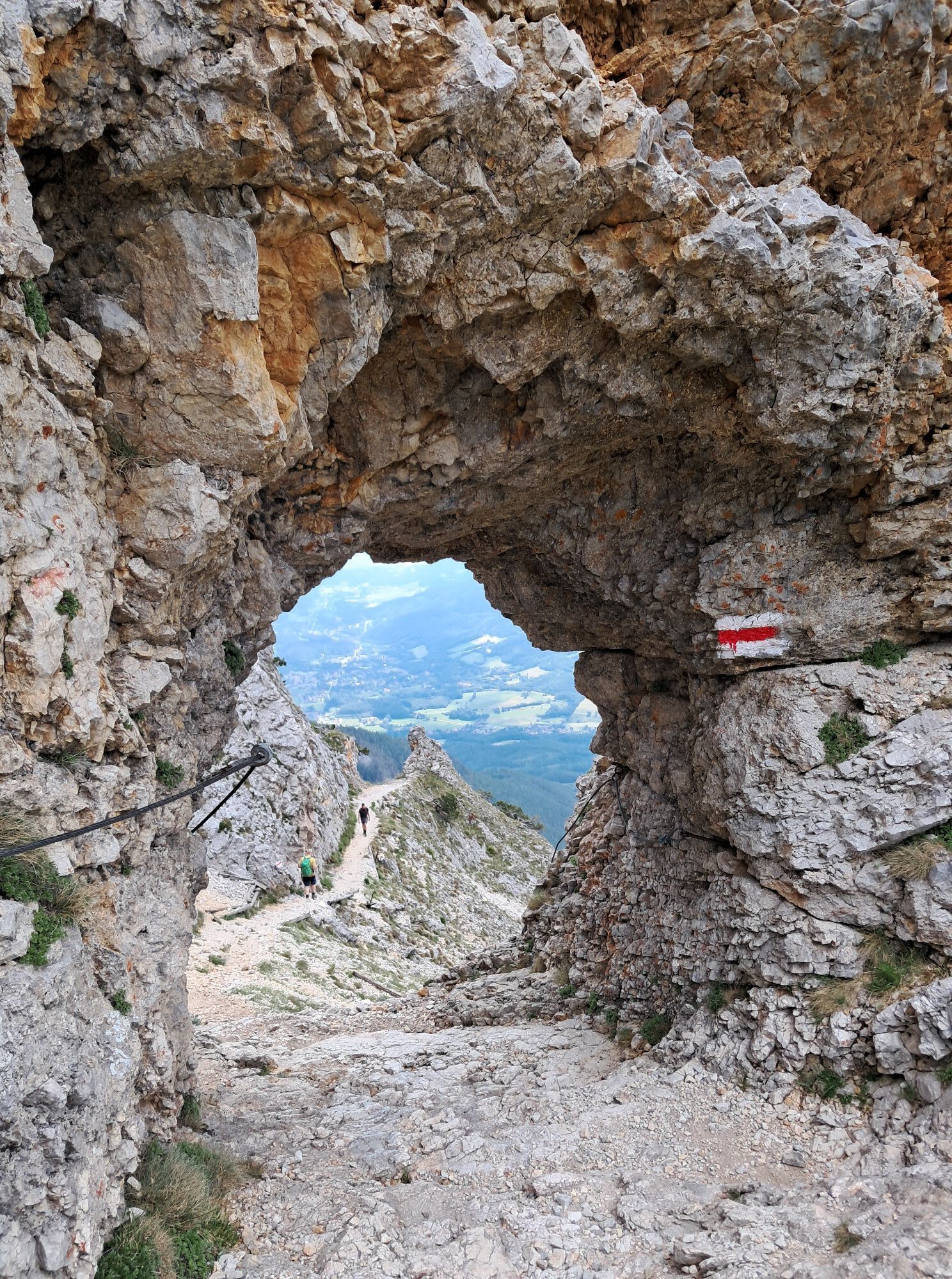
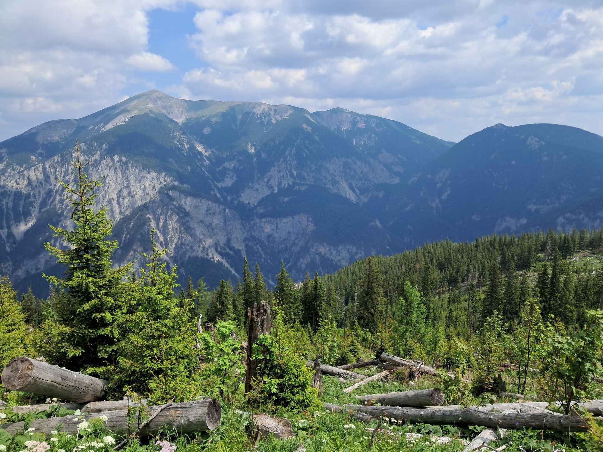
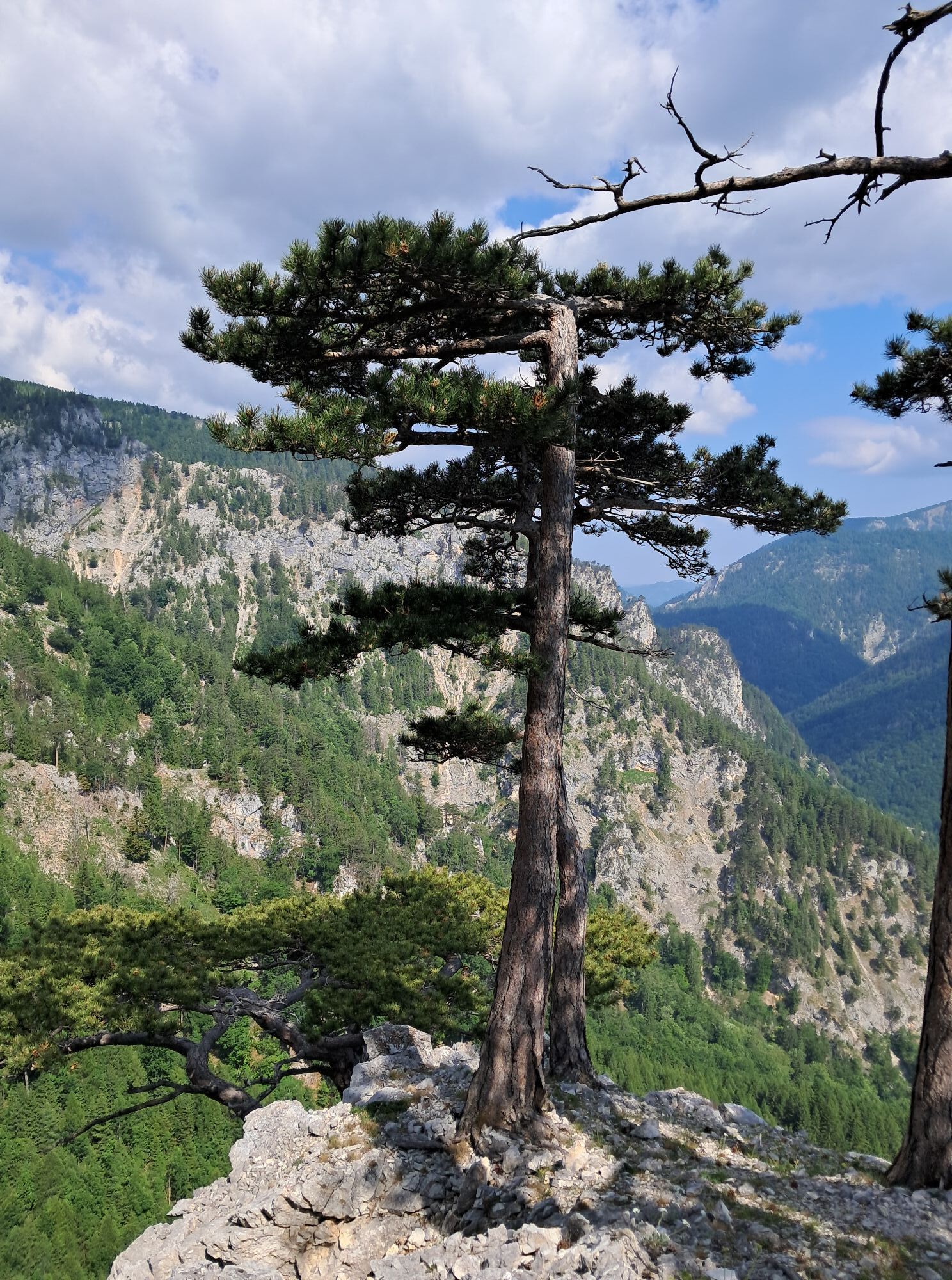
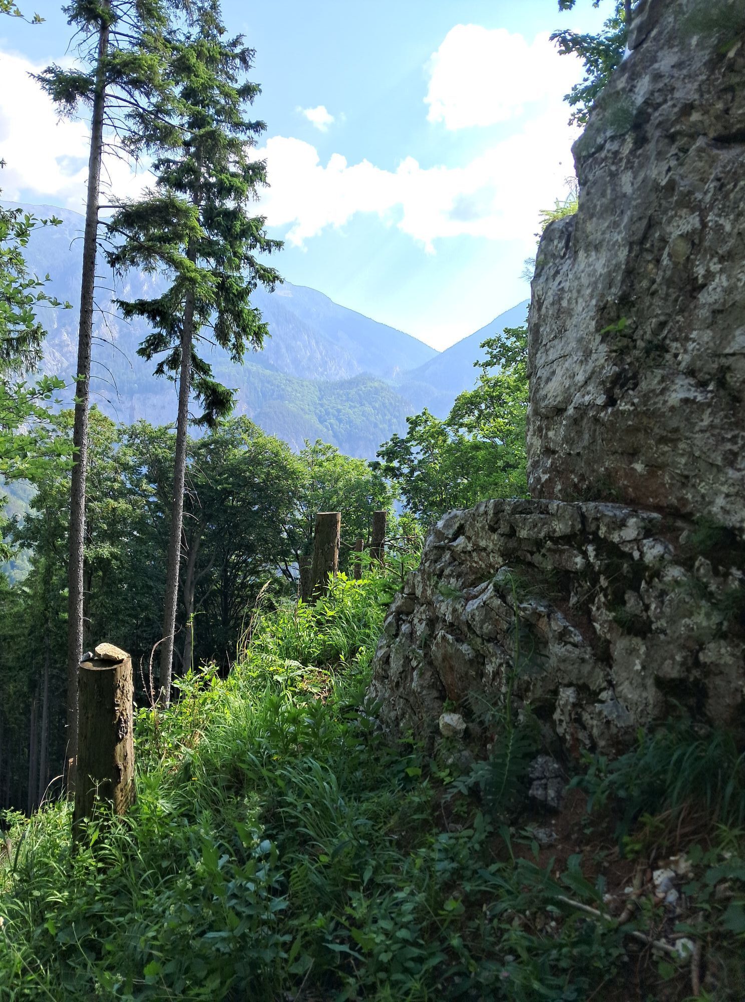
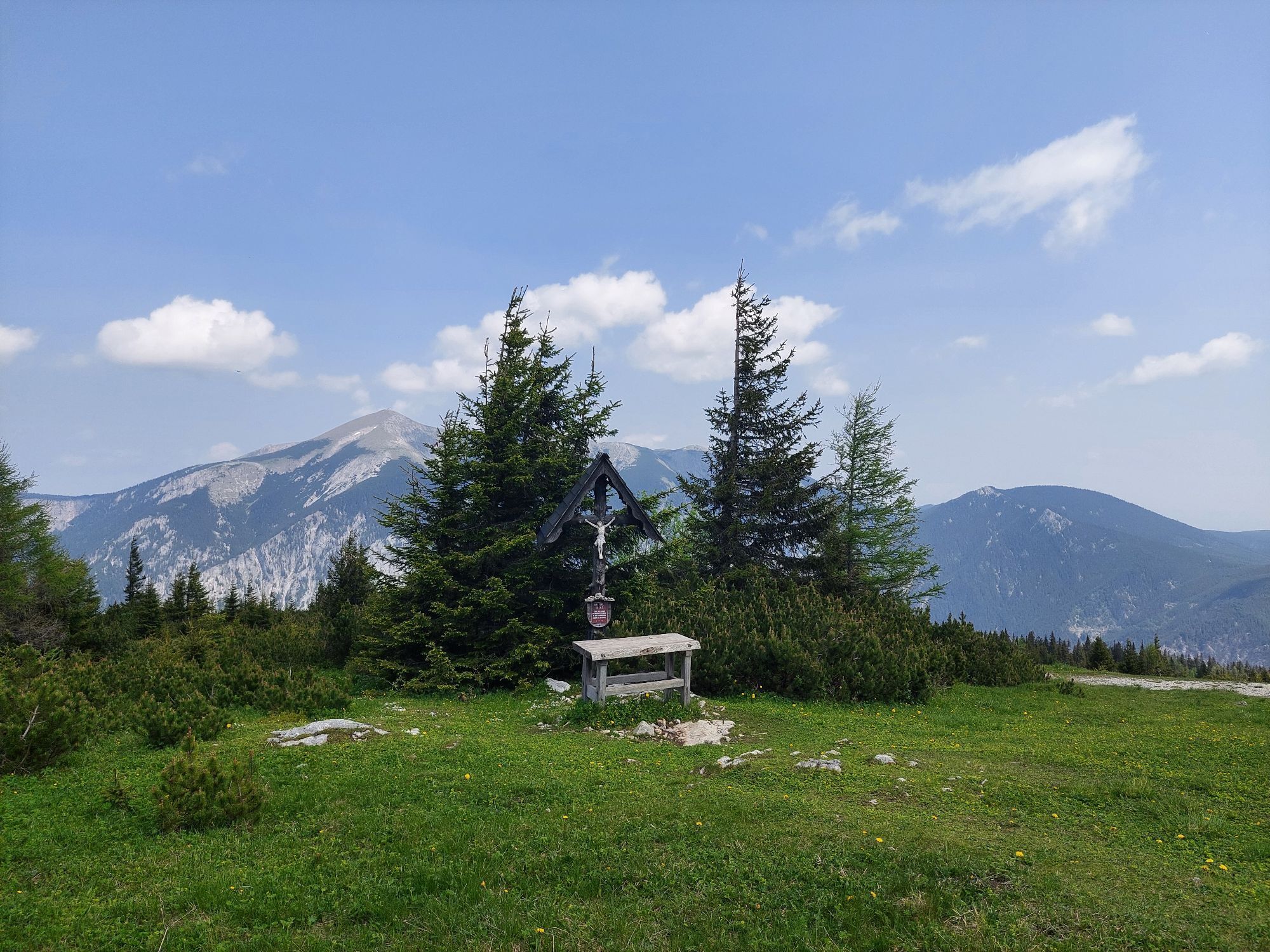


Sehr schöne Tour im Grunde genommen
etwas steil am Anfang wenn man die Brandscheide rauf geht dann geht es
Runter den Thörlweg der ist schon etwas lange und geht am Anfang steil bergab ist aber alles gut machbar
Route
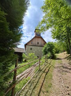
Kaiserbrunn
(527 m)
Settlement
0,0 km
Brandschneidenloch
(1.133 m)
Cave entrance
2,0 km
Schwaigriegelsattel
(1.623 m)
Mountain saddle
5,4 km
Ottohaus
(1.643 m)
Shelter
5,8 km
Schwaigboden
(1.591 m)
Corridor/terrain
6,1 km
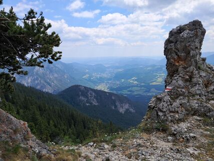
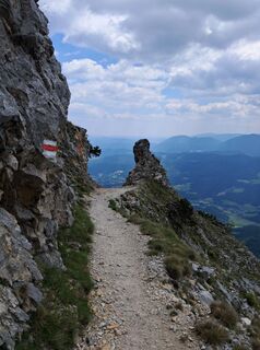
Törlkopf
(1.607 m)
Summit
6,3 km
Knappenberg
(741 m)
Settlement
10,3 km
Route
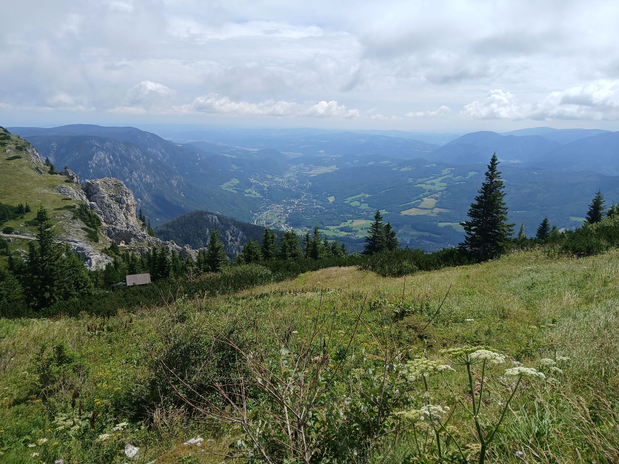
Gemeinde Reichenau an der Rax, Niederösterreich/Österreich
medium
Pješačenje
13,27
km
Kaiserbrunn
(527 m)
Settlement
0,0 km
am Wasserwerk
(531 m)
Restaurant
0,0 km
Bergerhöhle
(990 m)
Cave entrance
1,6 km
Brandschneidenloch
(1.133 m)
Cave entrance
2,0 km
Gsolhirn
(1.442 m)
Corridor/terrain
3,2 km
Berggasthof
(1.547 m)
Restaurant
3,9 km
Schwaigriegelsattel
(1.623 m)
Mountain saddle
5,4 km
Praterstern
(1.623 m)
Corridor/terrain
5,5 km
Ottohaus
(1.643 m)
Shelter
5,8 km
Schwaigboden
(1.591 m)
Corridor/terrain
6,1 km
Törl
(1.566 m)
Corridor/terrain
6,3 km
Törlkopf
(1.607 m)
Summit
6,3 km
Staiger-Fenster
(1.591 m)
Cave entrance
6,3 km
Lammelbrünnl
(1.012 m)
Source
8,3 km
Knappenberg
(741 m)
Settlement
10,3 km

Last tracked
7 days ago
Route information
Alternatives
Mit der Seilbahn runter von der Rax nach 3 Stunden wandern
Rest & refreshment stop
Ottohaus und Rax Station
Literature
Wanderkarten
Card material
Bergfex ist am besten
Steep passage
Yes
Stage tour
Yes
Summit tour
Yes
Gondola/cable car
Yes
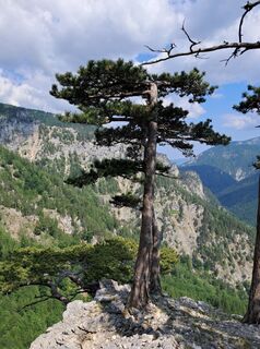
Forest area
Yes
Equipment
Gute Schuhe, Wanderstöcke unbedingt
Safety instructions
Aufpassen beim gehen
Arrival information
Arrival
Schnellbahn bis Reichenau und Bus bis Kaiserbrunn
Public transport
Schnellbahn und Bus
Parking
Bei Kaiserbrunn
Additional information & tips
Tips
Viel Getränk mit nehmen bis zum Ottohaus gibt es nichts oder Rax Station
No reviews yet
Popular tours in the neighbourhood
-
4,8
Circular hike in Payerbach via anniversary viewpoint and Sched chapel
mediumPješačenje 8,84 km -
4,4
Familienwanderung auf die Schneealm im Naturpark Mürzer Oberland
lightPješačenje 9,86 km -
4,9
"Schneealpe" - "Windberg 1903m" Rundkurs
mediumPješačenje 14,3 km -
4,7
Raxplateau Runde 12km
mediumPješačenje 11,3 km -
4,7
Krummbachstein Dez 20
mediumPješačenje 15,7 km -
4,7
Gsohlhirnsteig - Ottohaus - Törmweg (Rundwanderung)
mediumPješačenje 11,0 km -
4,6
Krummbachstein Rundwanderung, NÖ
mediumPješačenje 15,2 km -
4,7
Rax Preiner Gscheid / Waxriegel / Waxriegelhaus / Göbl-Kühn-Steig / Seehütte
mediumPješačenje 9,62 km -
4,4
Höllental Gr. Höllental AV Steig Ottohaus Wachhüttelkamm ret. 09.06.2017
heavyPješačenje 10,6 km -
4,5
"Waxriegel 1888m" - Schneebergdörfl - Niederösterreich / Österreich
lightPješačenje 14,2 km
bergfex Tours

Over 550.000 tour suggestions, detailed maps and an intuitive route planner make the app a must-have for all nature enthusiasts.

Ne propustite ponude i inspiraciju za vaš sljedeći odmor
Subscribe to the newsletter
Error
An error has occurred. Please try again.
Thank you for your registration
Your e-mail address has been added to the mailing list.
Tours throughout Europe
Austrija
Švicarska
Njemačka
Italija
Slovenija
Francuska
Nizozemska
Belgija
Poljska
Lihtenštajn
Češka
Slovačka
Španija
Hrvatska
Bosna i Hercegovina
Luksemburg
Andora
Portugal
Island
Ujedinjeno Kraljevstvo
Irska
Grčka
Albanija
Sjeverna Makedonija
Malta
Norveška
Crna Gora
Moldova
Kosovo
Mađarska
San Marino
Rumunjska
Estonija
Latvija
Bjelorusija
Cipar
Litva
Srbija
Bugarska
Monako
Danska
Švedska
Finska