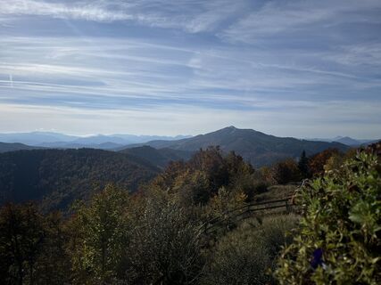
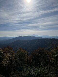
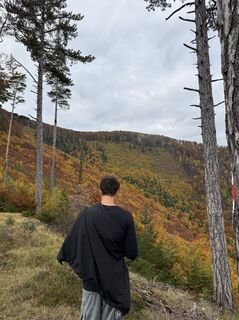
Gutensteiner Alpen: Gaisstein und Kieneck
medium
Navigate
Navigate
Get this tour on your mobile
Gutensteiner Alpen: Gaisstein und Kieneck
medium
Pješačenje
20,24
km
Scan the QR code and start navigation in the bergfex app

Hiking & Tracking


Distance
20,24
km
Duration
08:30
h
Ascent
1.089
m
Sea level
421 -
1.083
m
Track download
Gutensteiner Alpen: Gaisstein und Kieneck
medium
Pješačenje
20,24
km


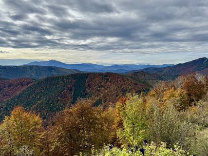
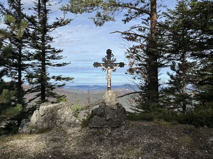
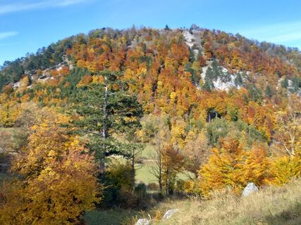
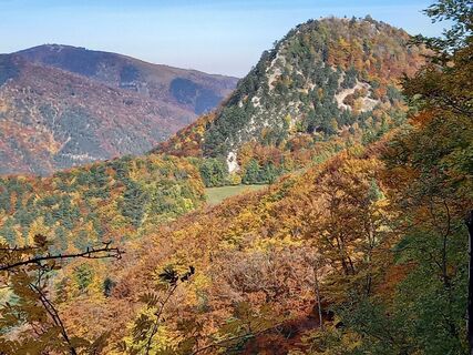
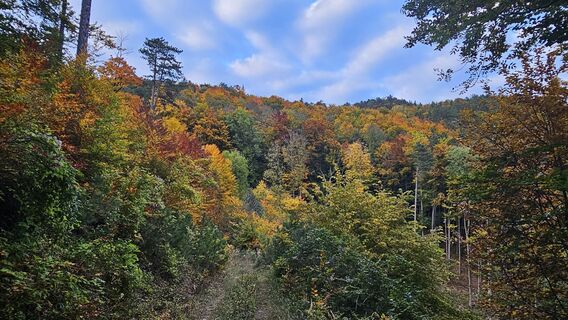
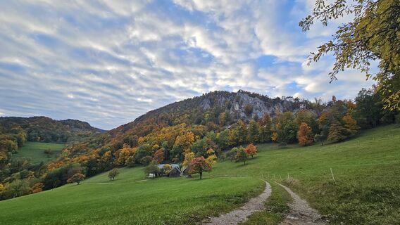
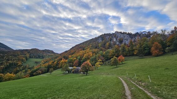
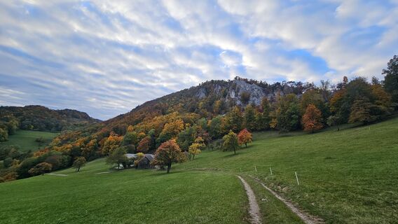
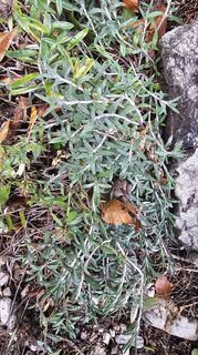
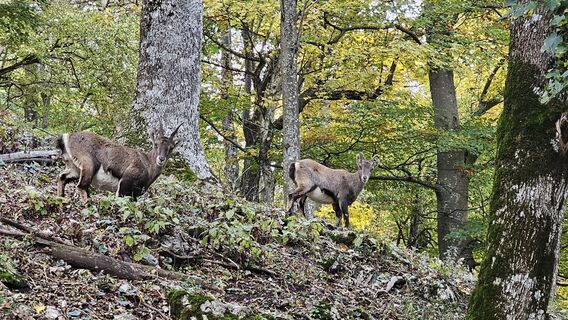
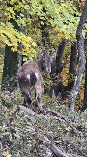
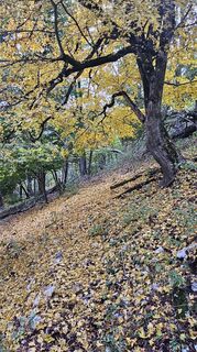
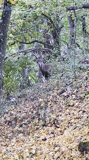
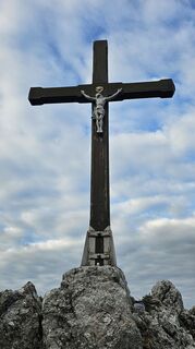
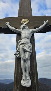
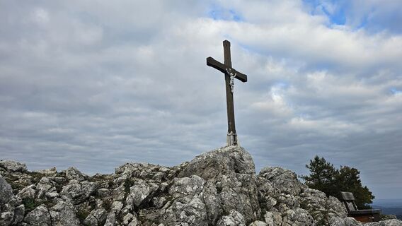
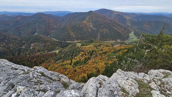
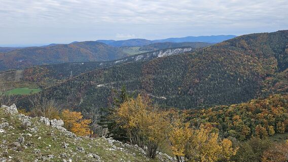
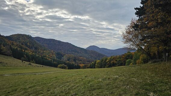
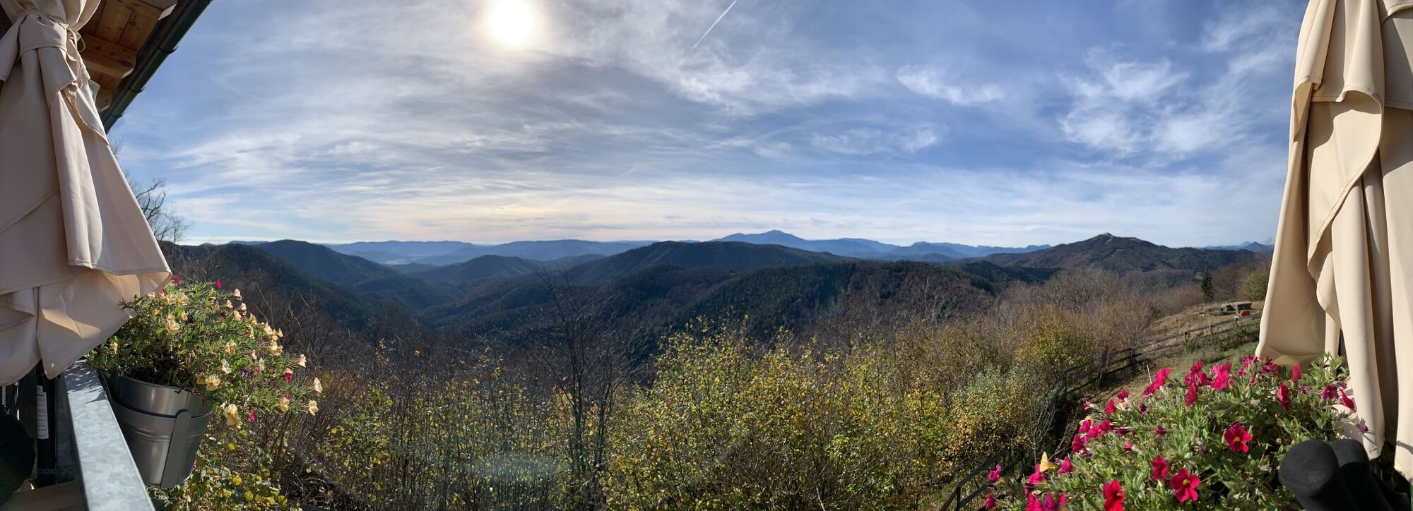
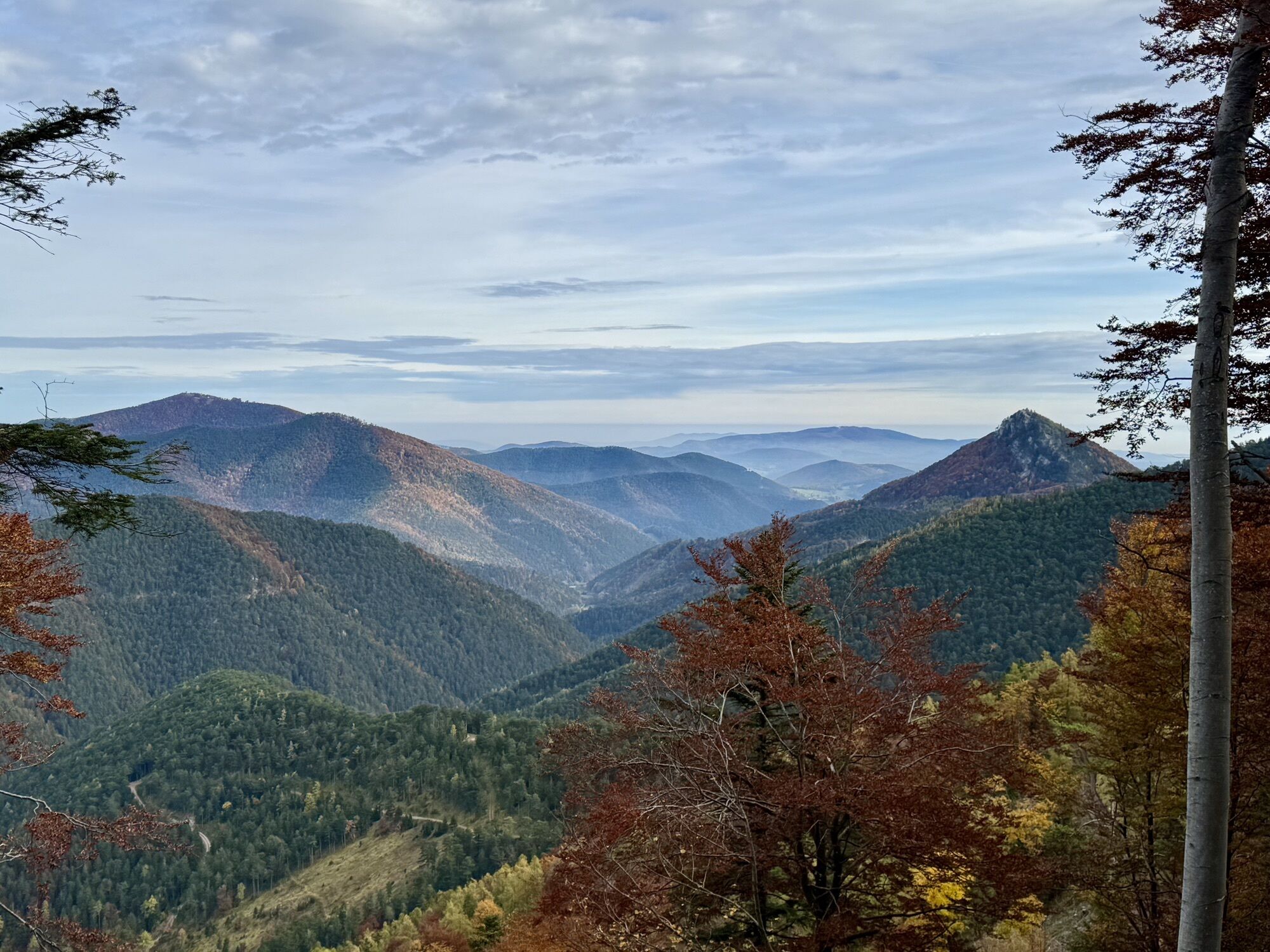
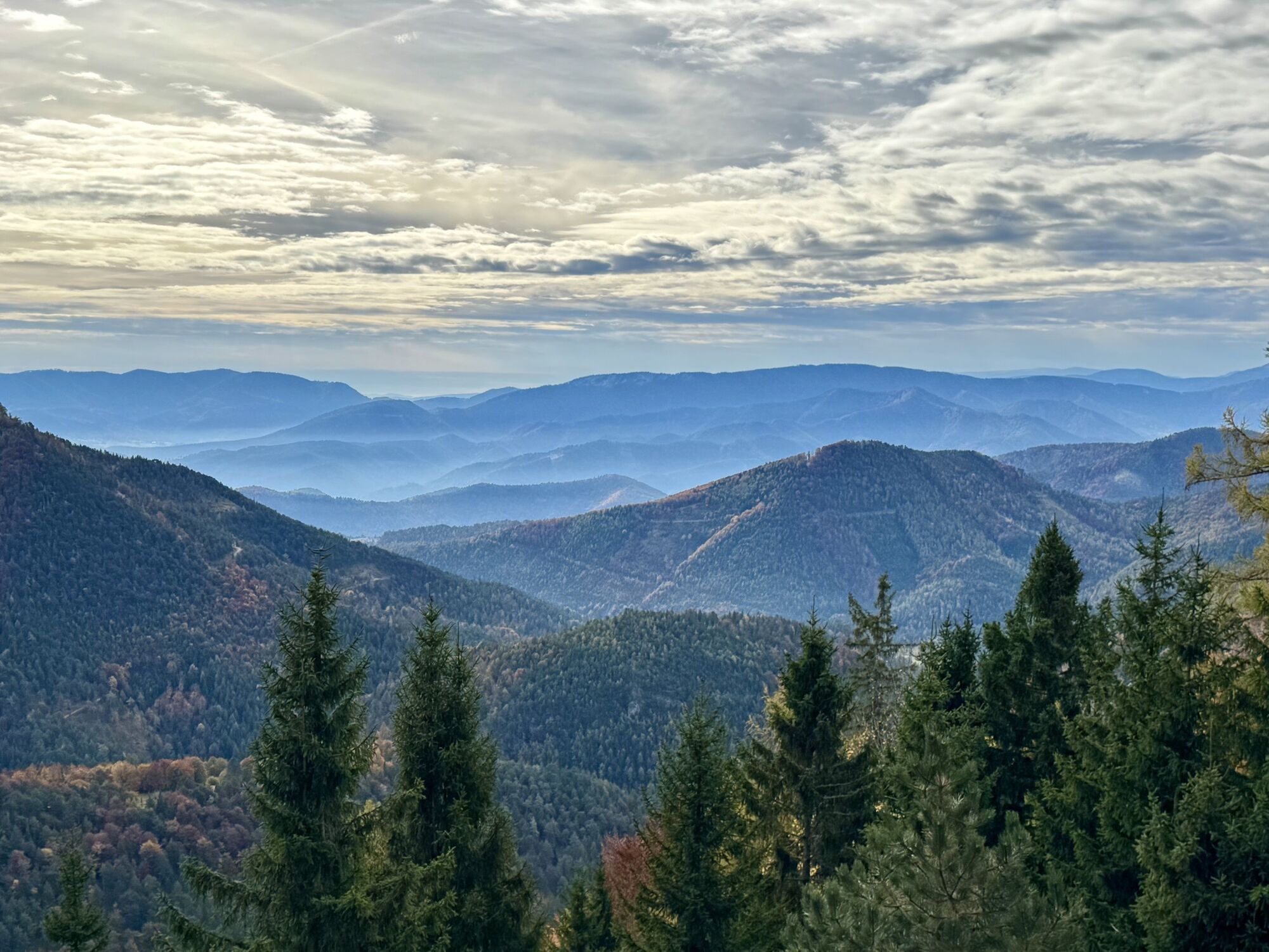
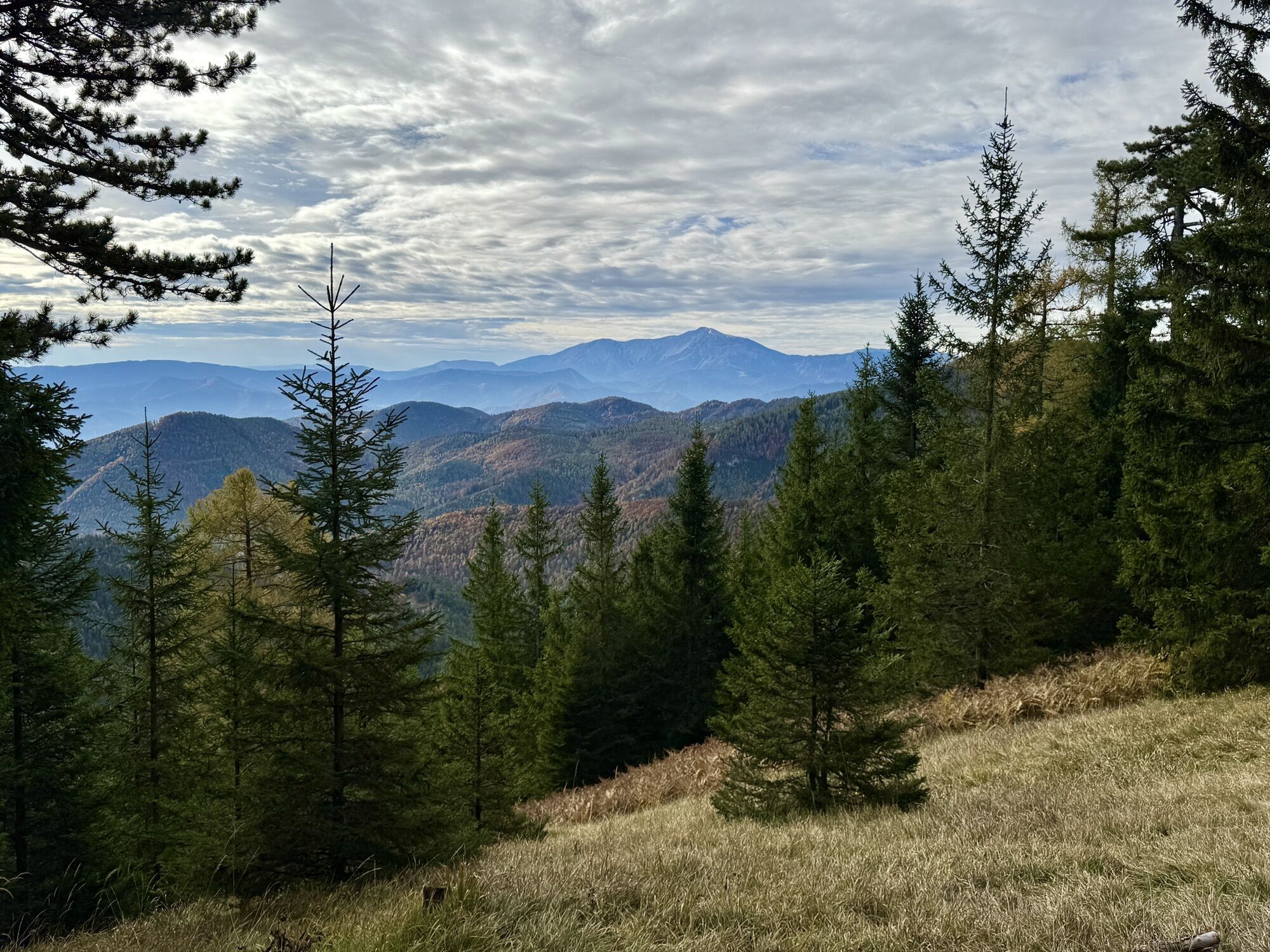
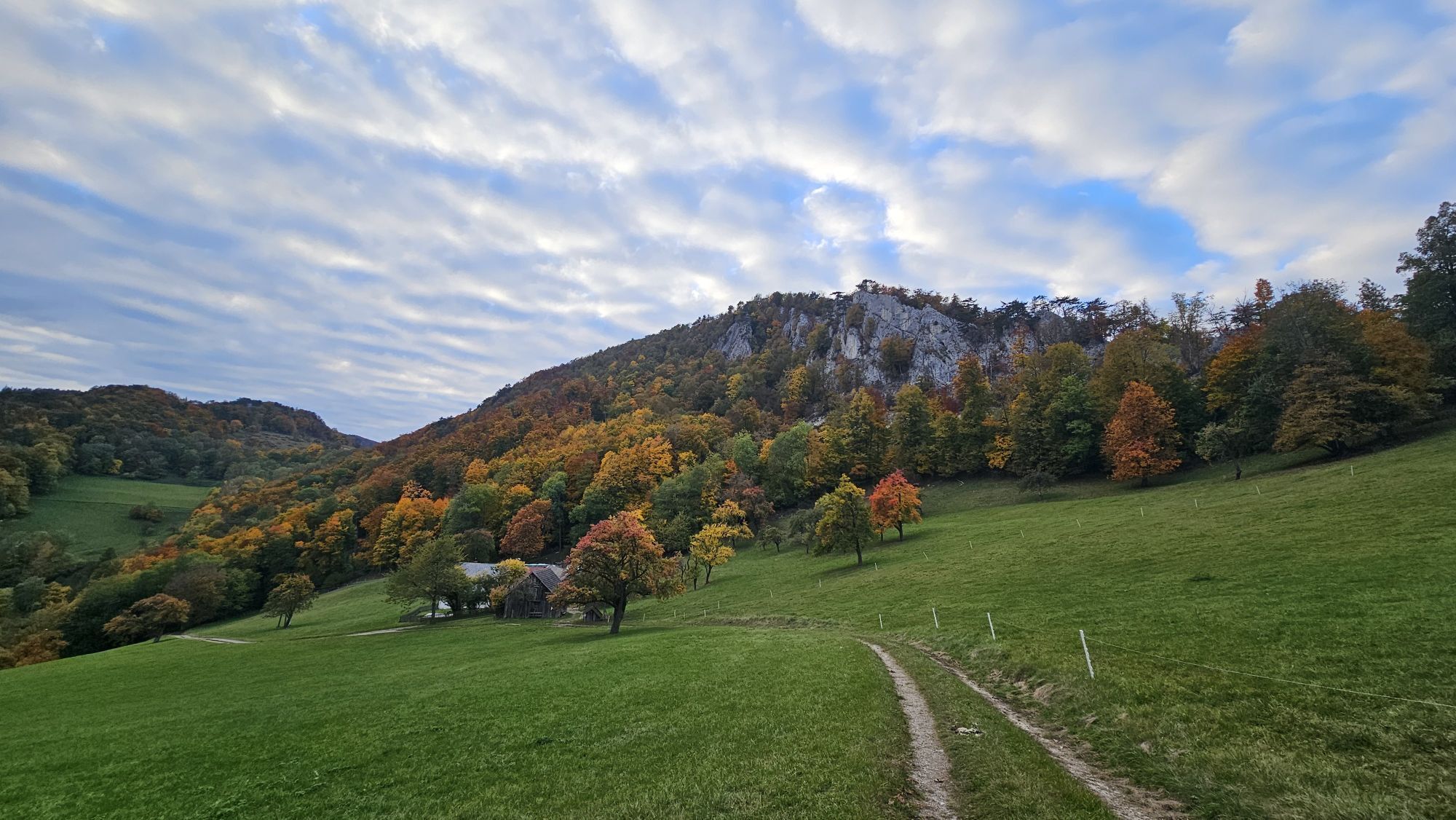
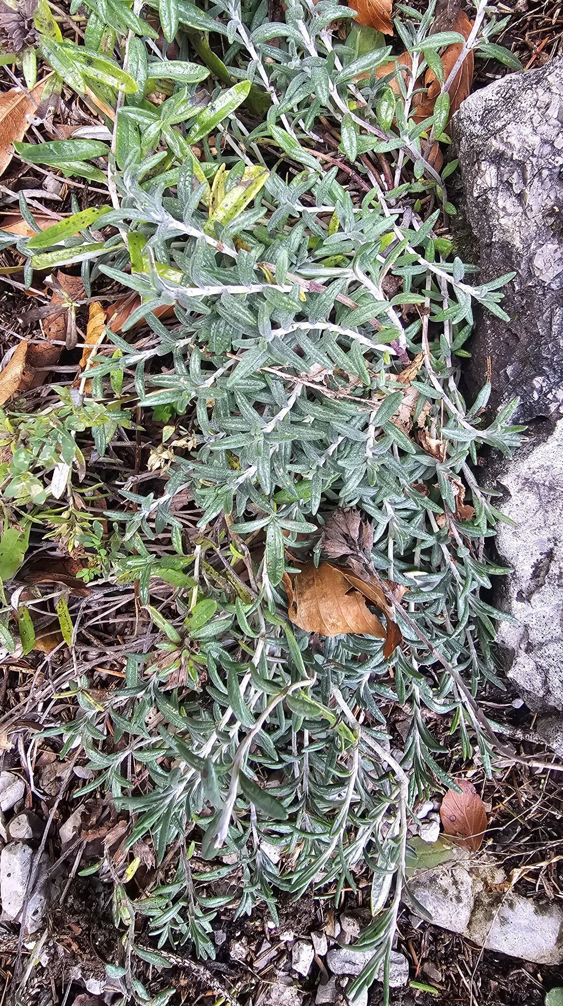
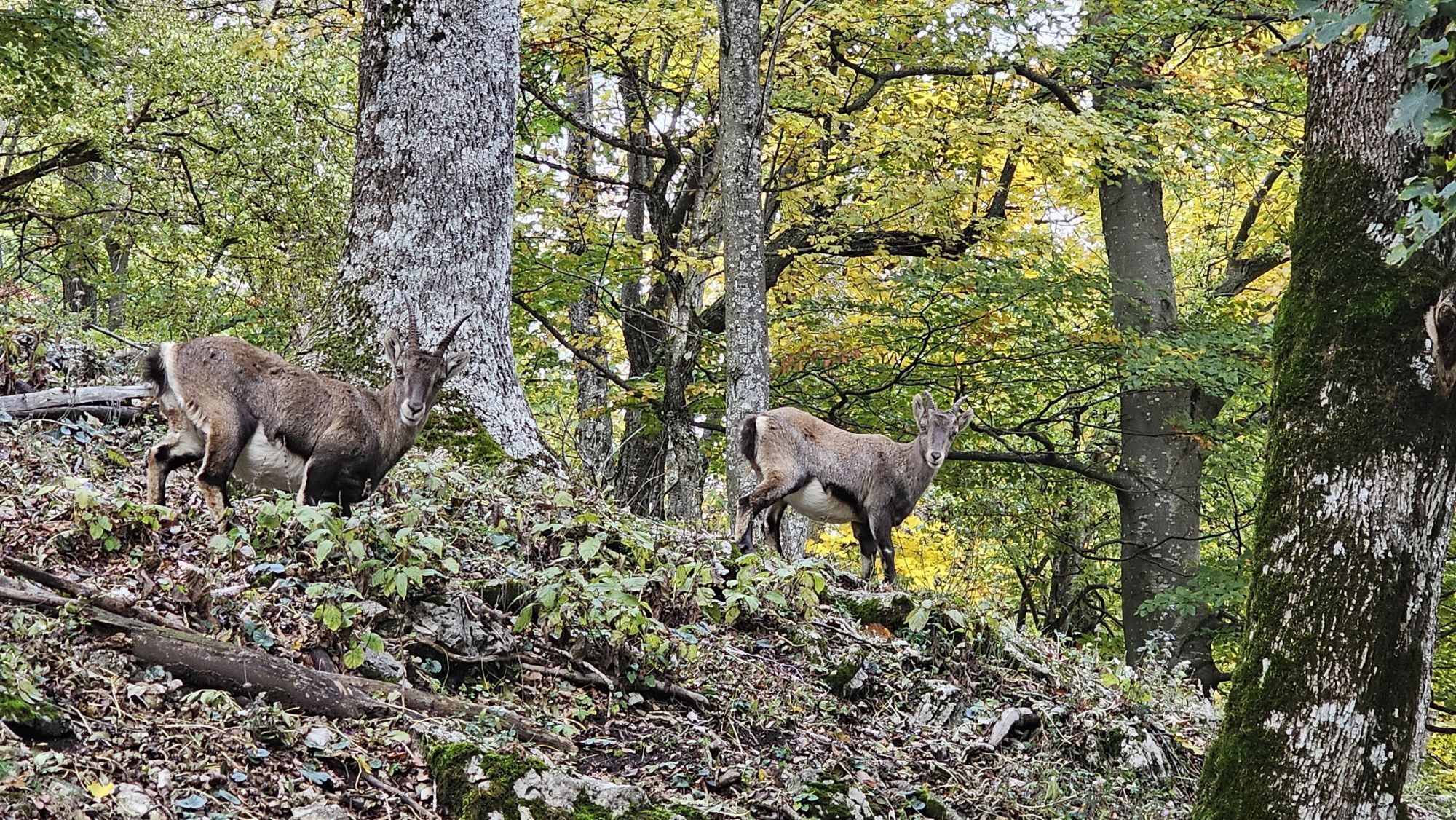
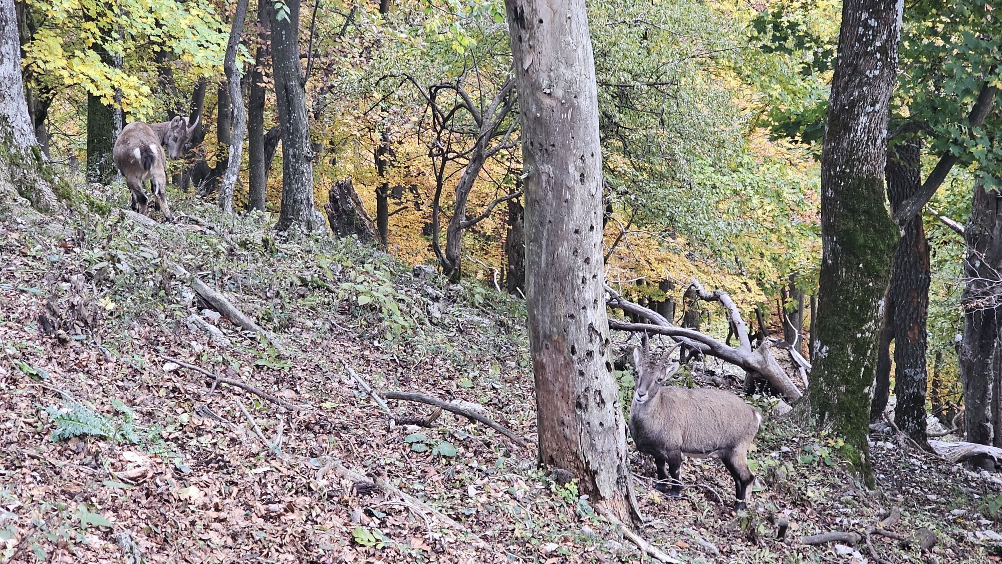
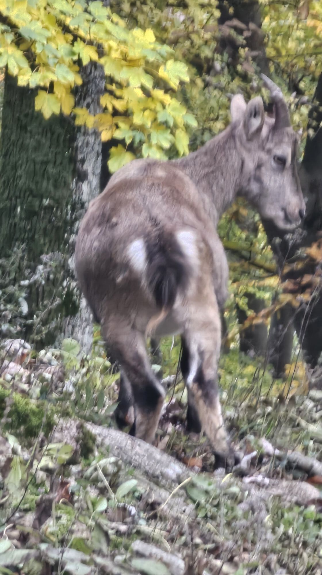
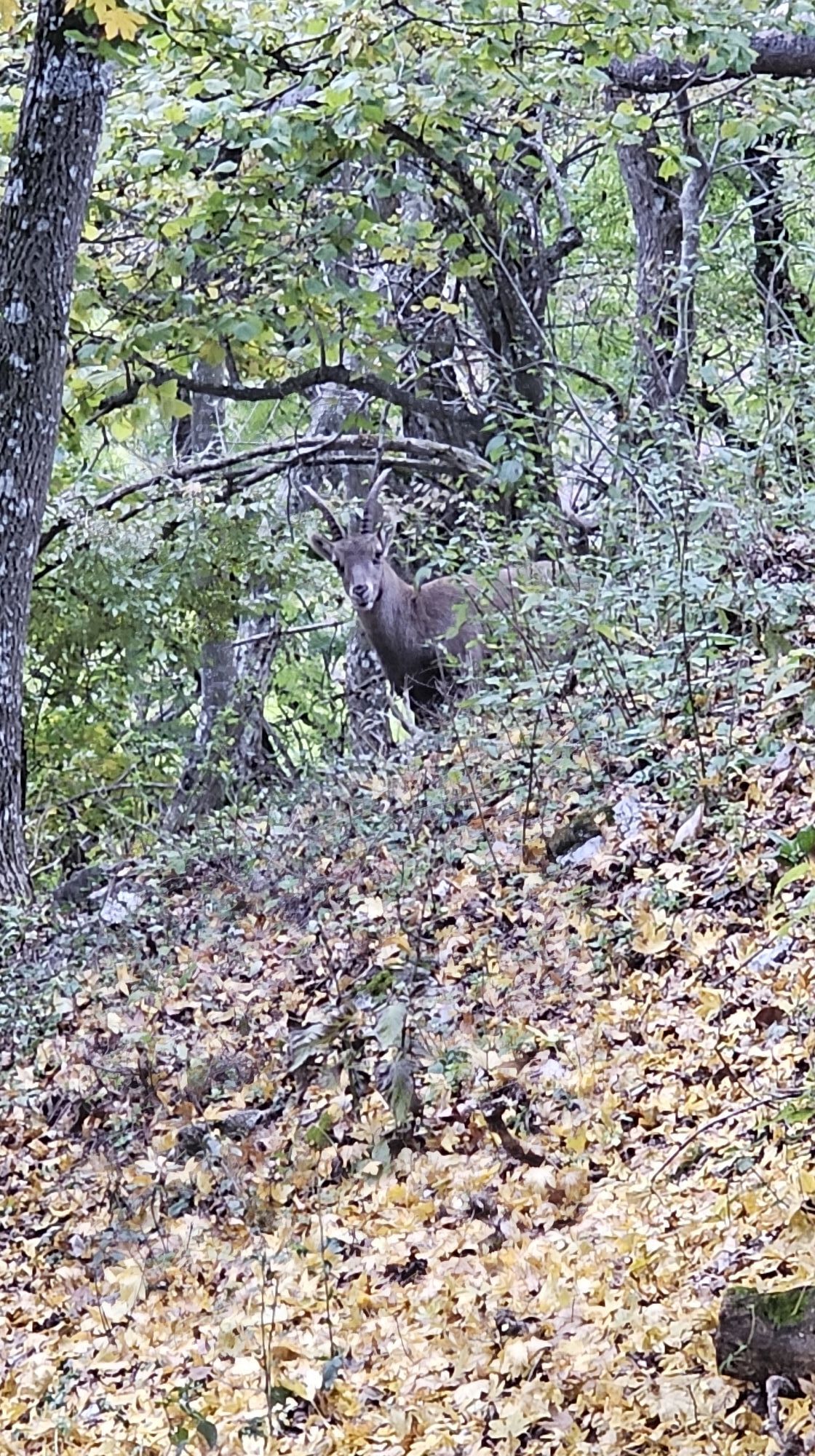
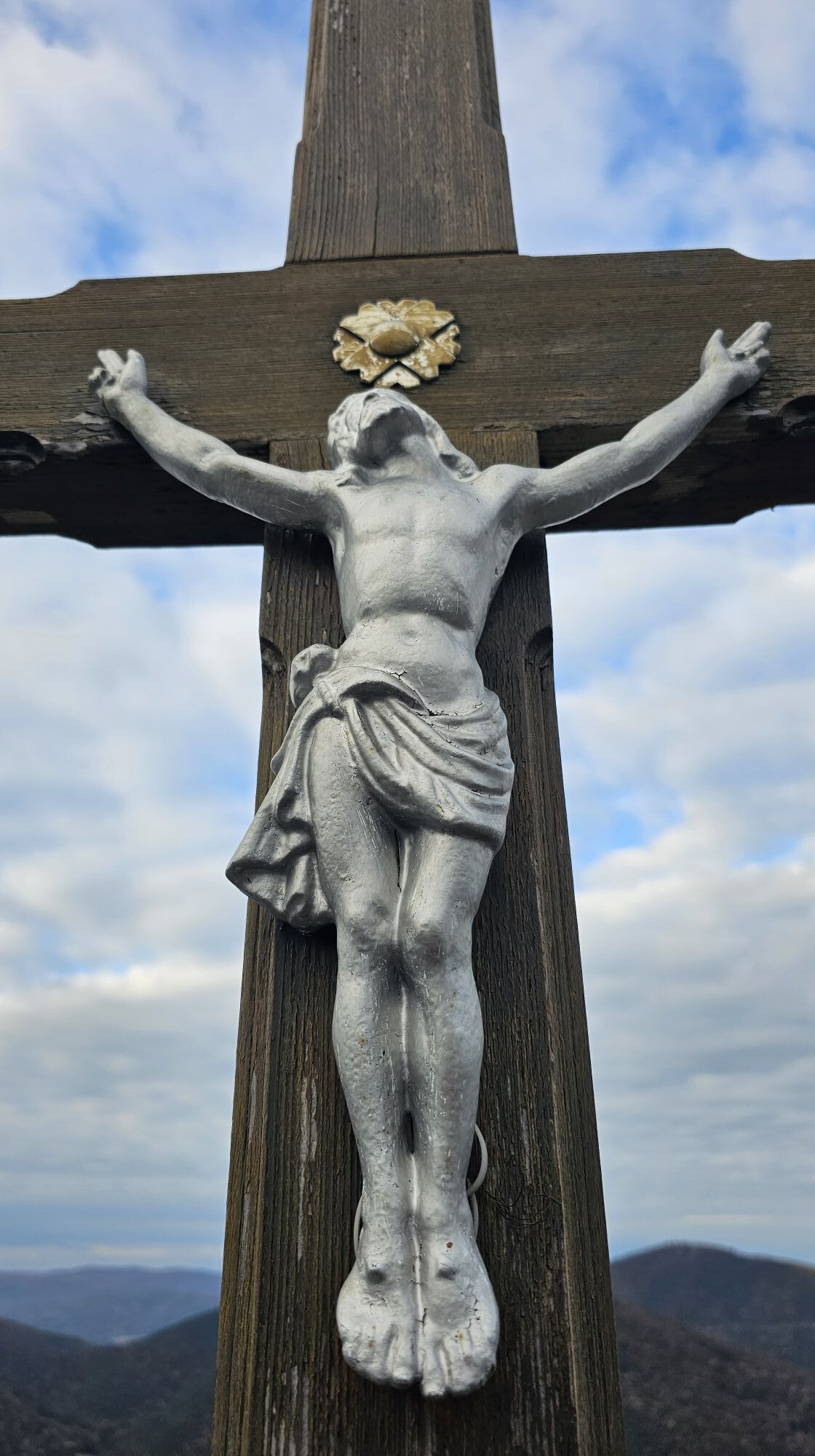
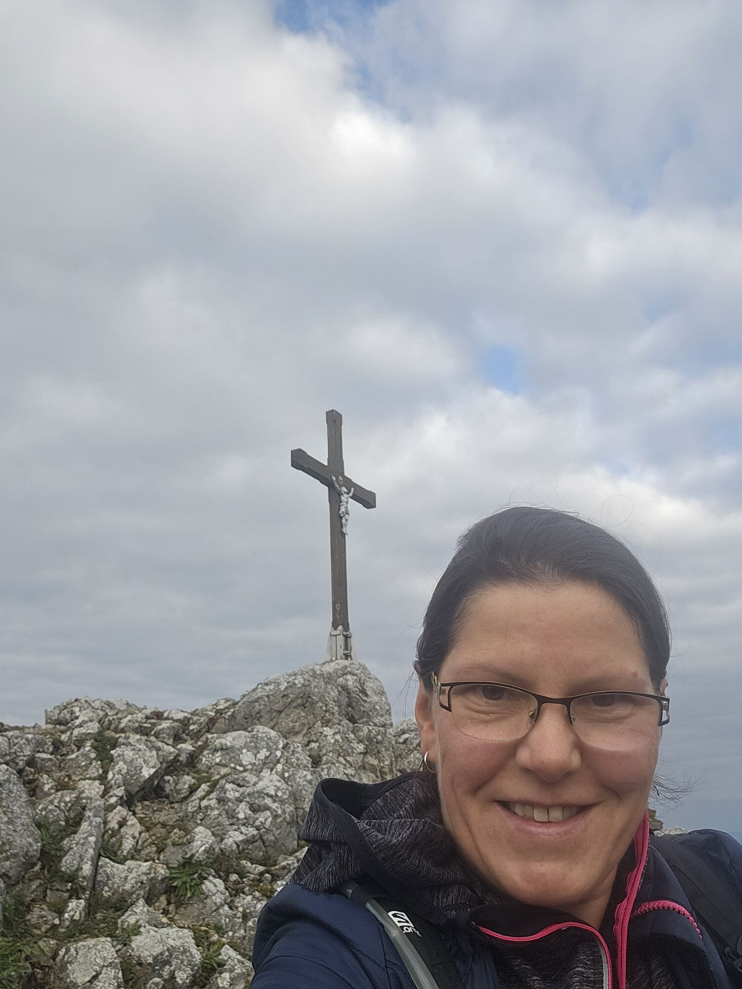
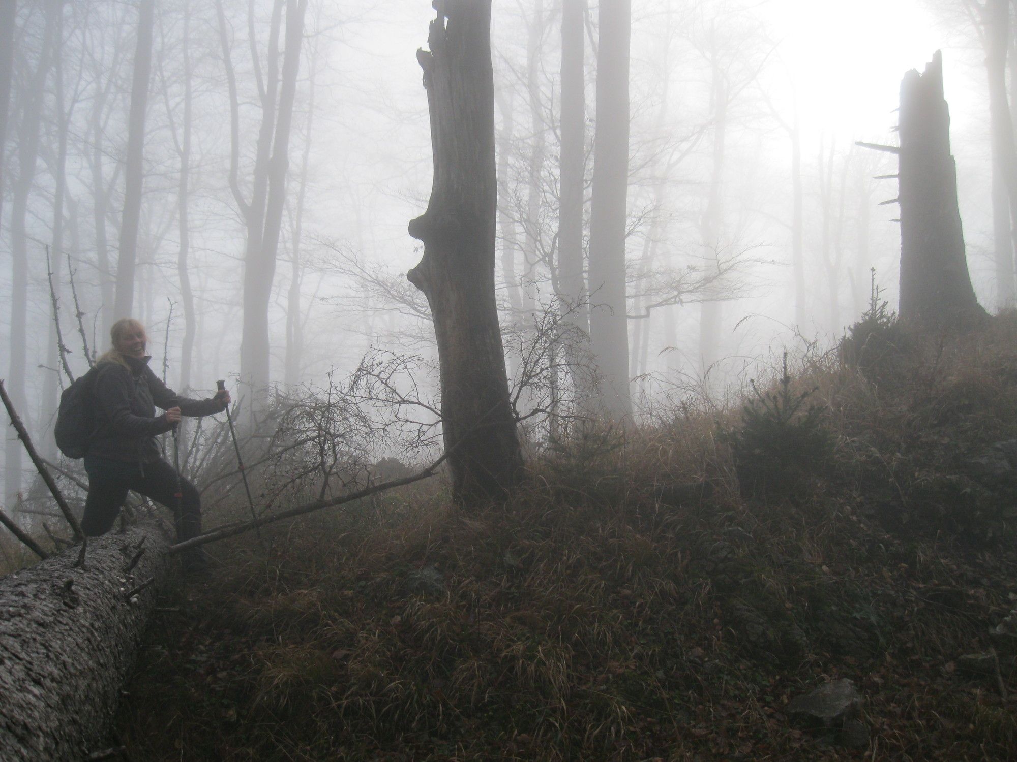
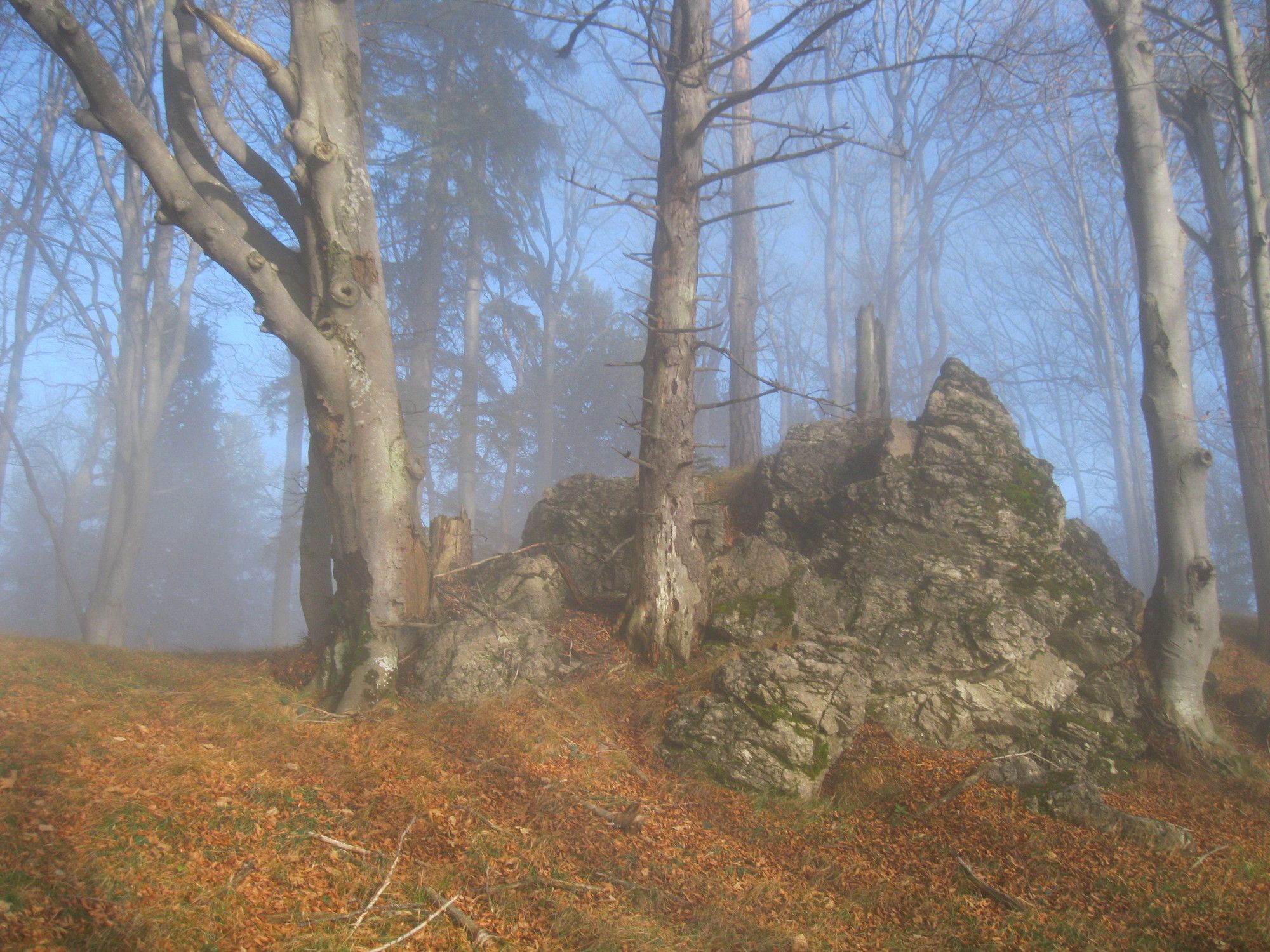
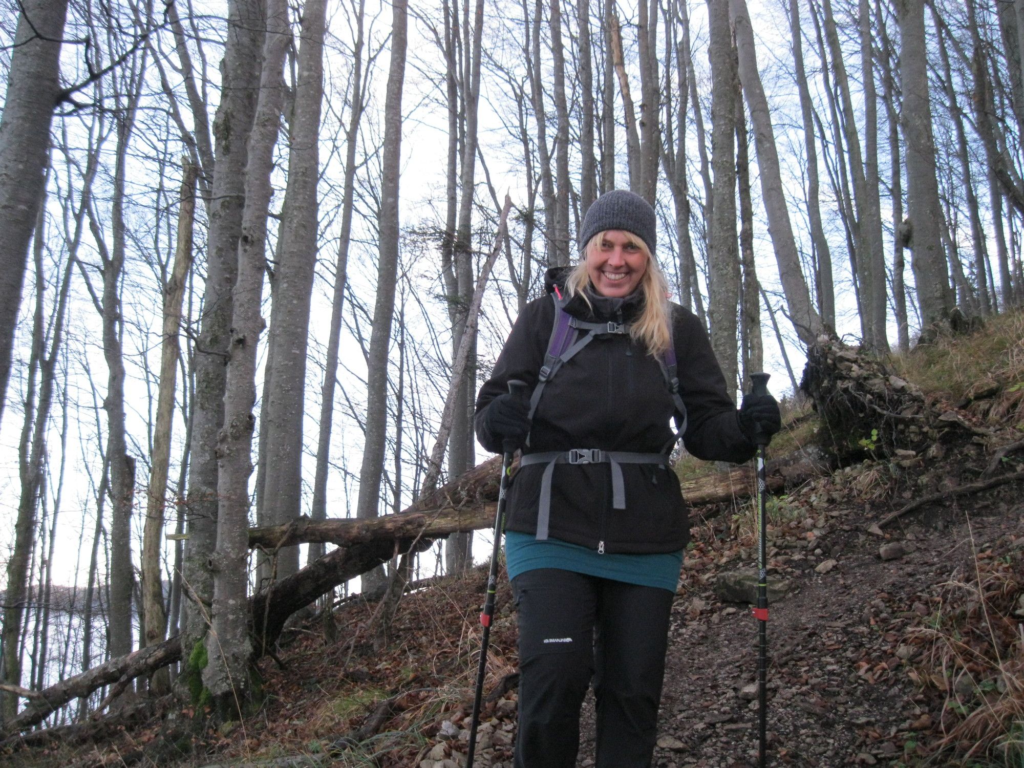
Photos from our users
-

 © Petra RieglerCreated on 23.10.2022
 -
 © voeslauerCreated on 21.10.2025
 -
 © voeslauerCreated on 21.10.2025
 -
 © voeslauerCreated on 21.10.2025
 -
 © voeslauerCreated on 21.10.2025
 -
 © voeslauerCreated on 21.10.2025
 -
 © Ma DanzCreated on 19.10.2025
 -
 © Ma DanzCreated on 19.10.2025
 -
 © Christoph HoedlCreated on 19.10.2025
 -
 © Christoph HoedlCreated on 19.10.2025
 -
 © Familie ZlabingerCreated on 19.10.2025
 -
 © Christoph HoedlCreated on 19.10.2025
 -
 © Christoph HoedlCreated on 19.10.2025
 -
 © Christoph HoedlCreated on 19.10.2025
 -
 © Christoph HoedlCreated on 19.10.2025
 -
 © Christoph HoedlCreated on 19.10.2025
 -
 © Familie ZlabingerCreated on 19.10.2025
 -
 © Familie ZlabingerCreated on 19.10.2025
 -
 © Ma DanzCreated on 19.10.2025
 -
 © Tim TheislCreated on 18.10.2025
 -
 © Alexandra StaniCreated on 17.10.2025
 -
 © Alexandra StaniCreated on 17.10.2025
 -
 © Alexandra StaniCreated on 17.10.2025
 -
 © Alexandra StaniCreated on 17.10.2025
 -
 © Alexandra StaniCreated on 17.10.2025
 -
 © Alexandra StaniCreated on 17.10.2025
 -
 © Alexandra StaniCreated on 17.10.2025
 -
 © Alexandra StaniCreated on 17.10.2025
 -
 © Alexandra StaniCreated on 17.10.2025
 -
 © Alexandra StaniCreated on 17.10.2025
 -
 © Alexandra StaniCreated on 17.10.2025
 -
 © Alexandra StaniCreated on 17.10.2025
 -
 © Alexandra StaniCreated on 17.10.2025
 -
 © Alexandra StaniCreated on 17.10.2025
 -
 © Alexandra StaniCreated on 17.10.2025
 -
 © Alexandra StaniCreated on 17.10.2025
 -
 © Alexandra StaniCreated on 17.10.2025
 -
 © Alexandra StaniCreated on 17.10.2025
 -
 © Alexandra StaniCreated on 17.10.2025
 -
 © Alexandra StaniCreated on 17.10.2025
 -
 © Alexandra StaniCreated on 17.10.2025
 -
 © Alexandra StaniCreated on 17.10.2025
 -
 © Alexandra StaniCreated on 17.10.2025
 -
 © Alexandra StaniCreated on 17.10.2025
 -
 © Alexandra StaniCreated on 17.10.2025
 -
 © Alexandra StaniCreated on 17.10.2025
 -
 © Alexandra StaniCreated on 17.10.2025
 -
 © Alexandra StaniCreated on 17.10.2025


Tag der Tour: 22.11.2014
Route
St. Magdalena
(422 m)
Place of worship
0,1 km
Untere Himmelsreithhöhle
(758 m)
Cave entrance
3,5 km
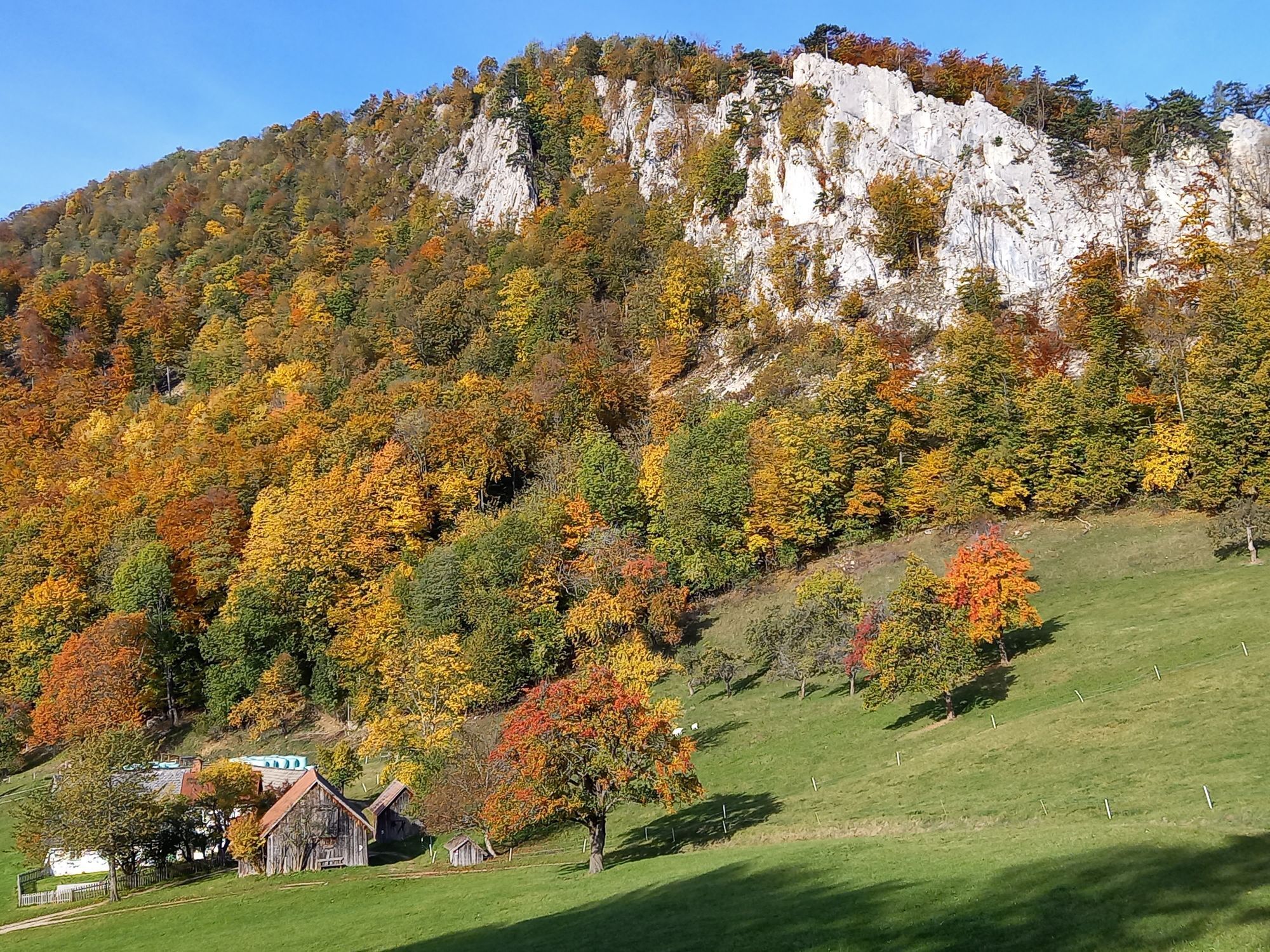
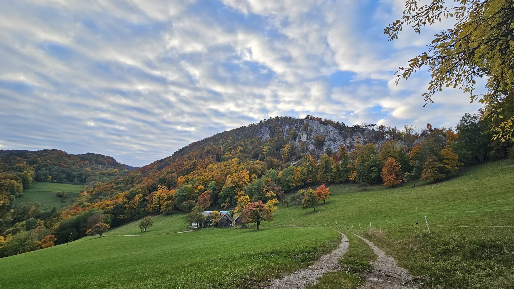
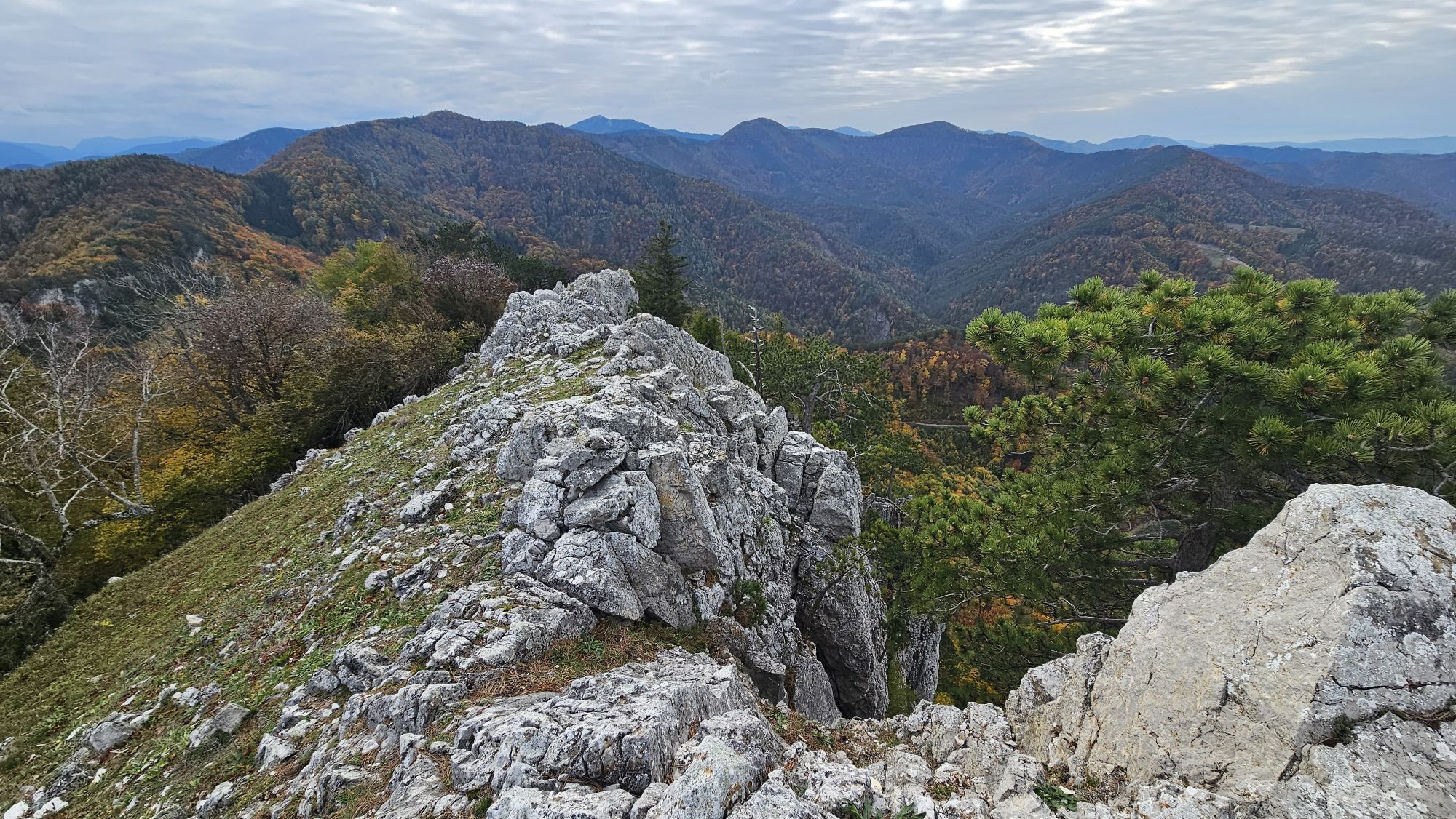
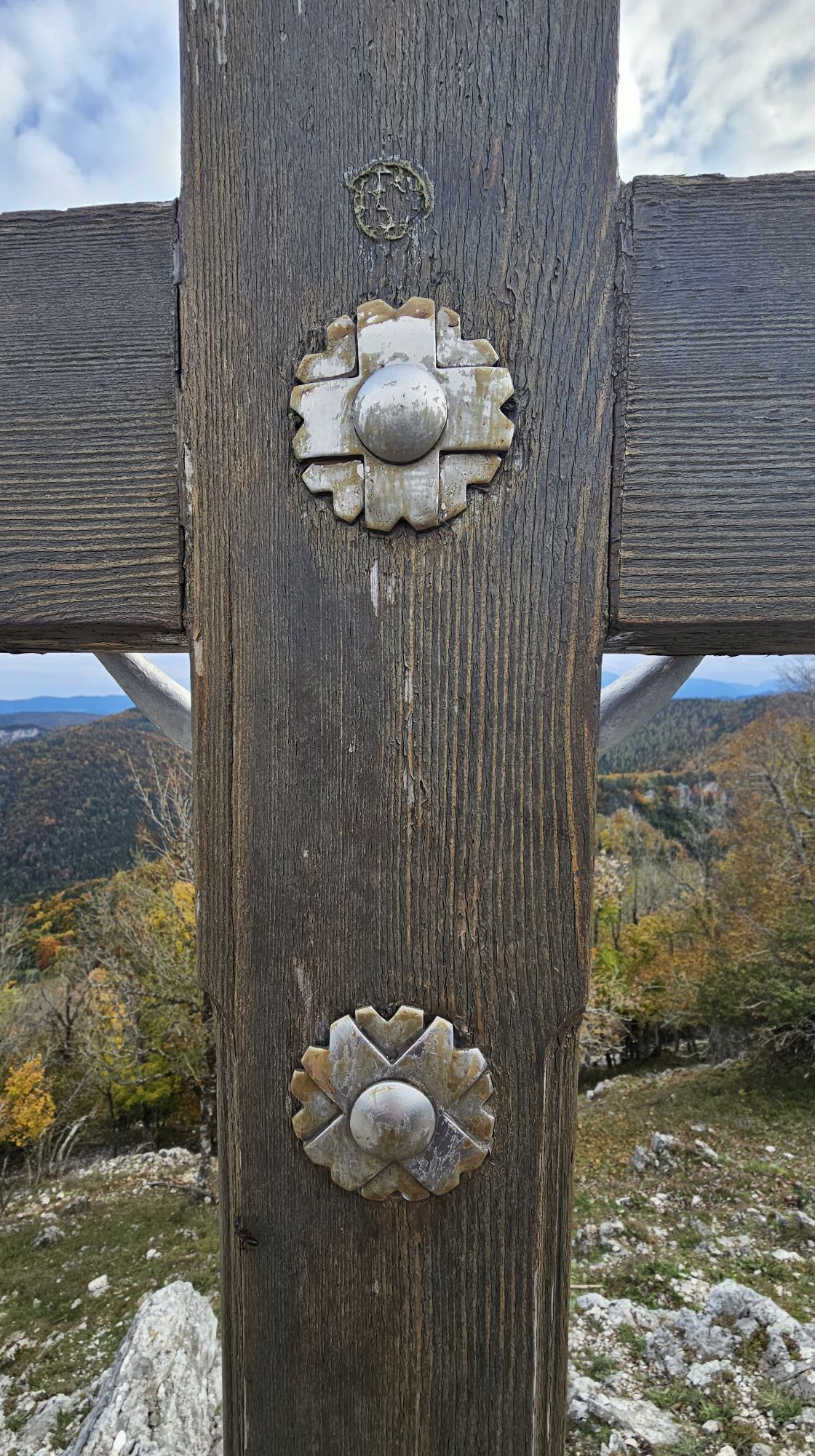
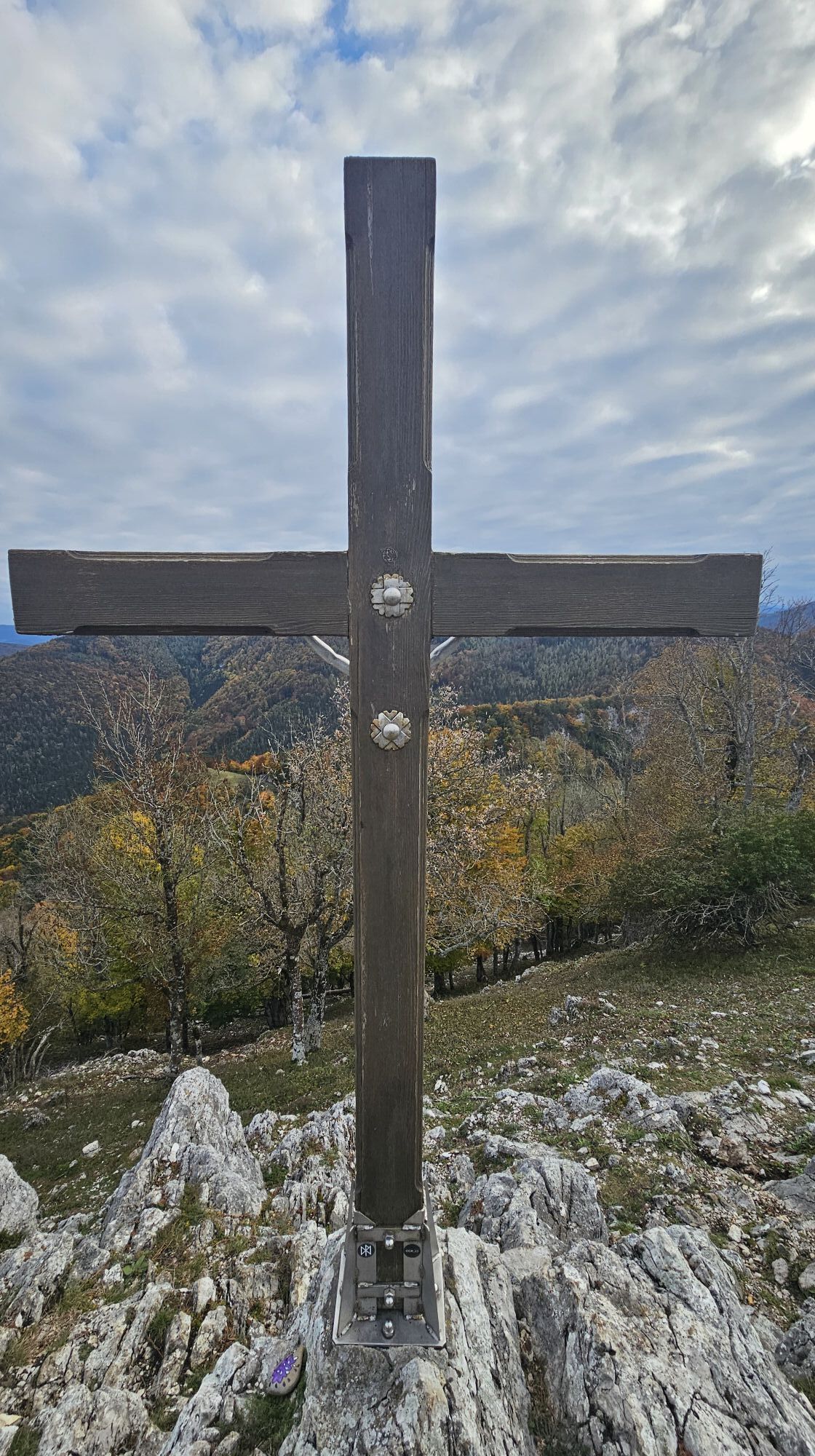
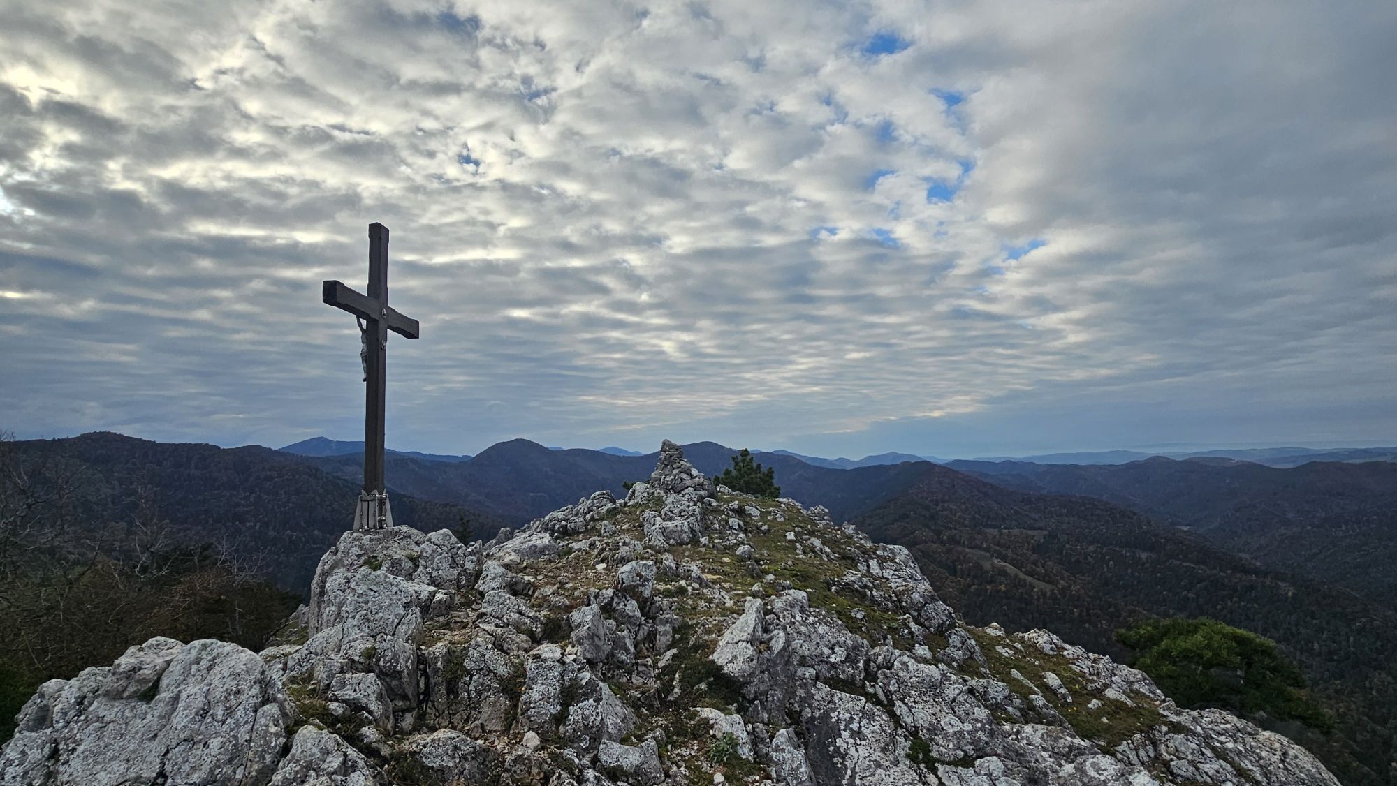
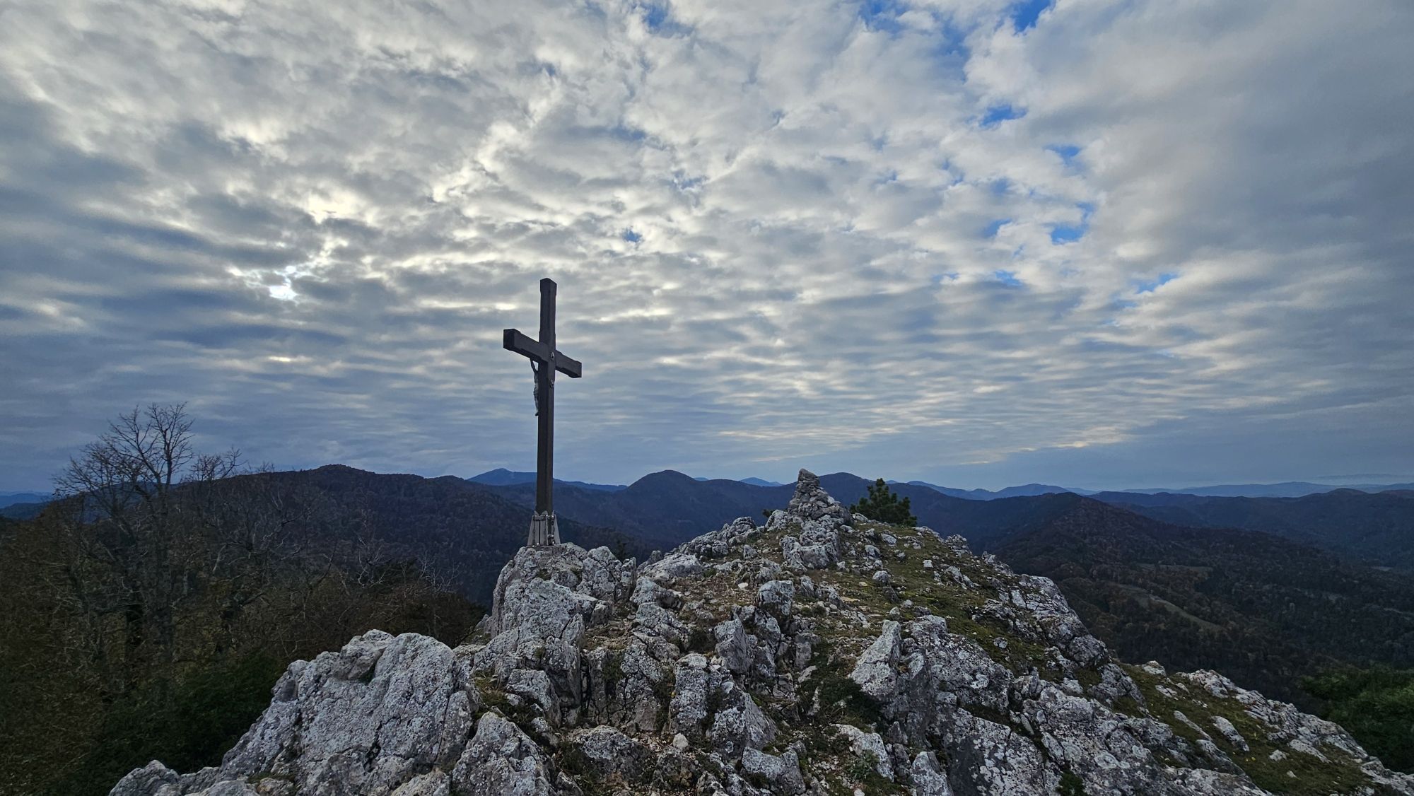
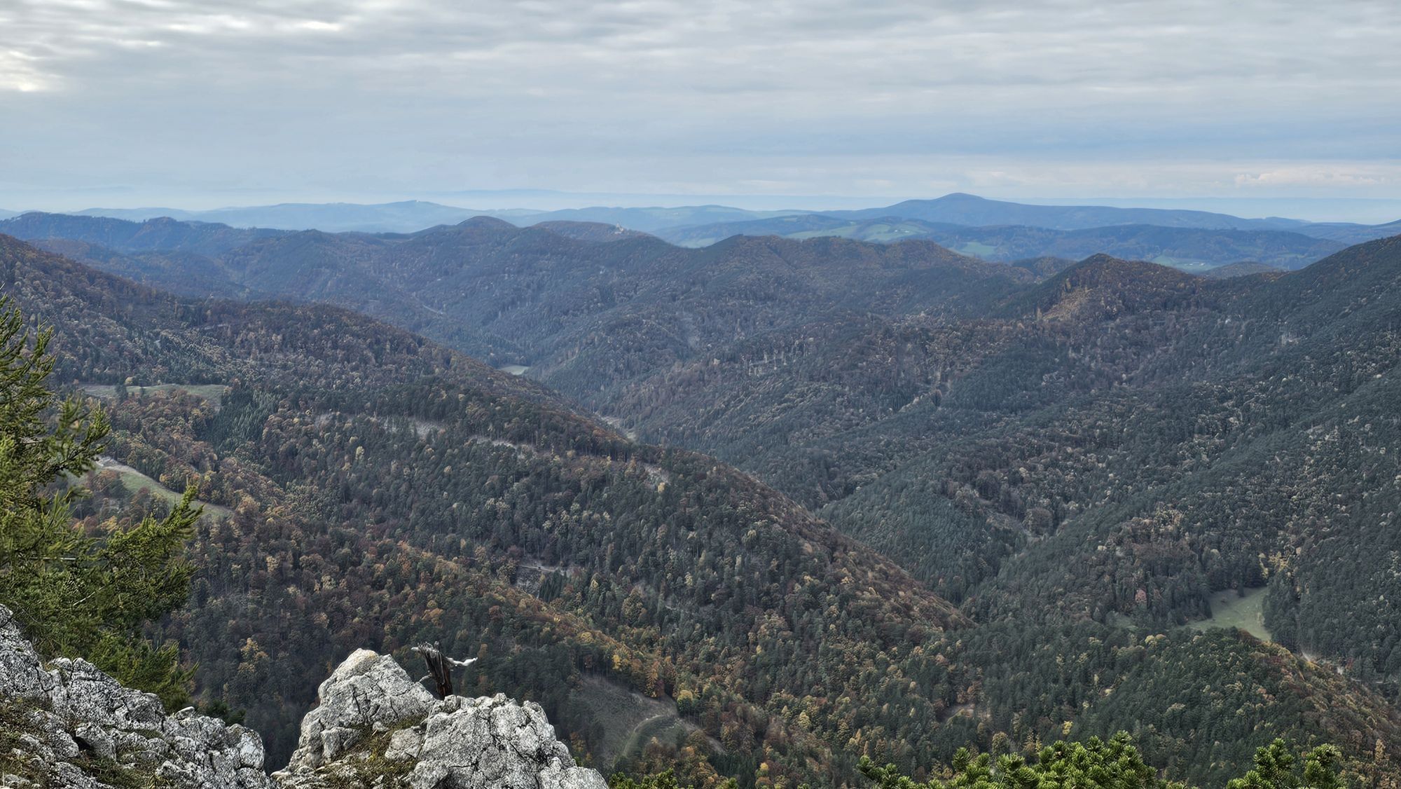
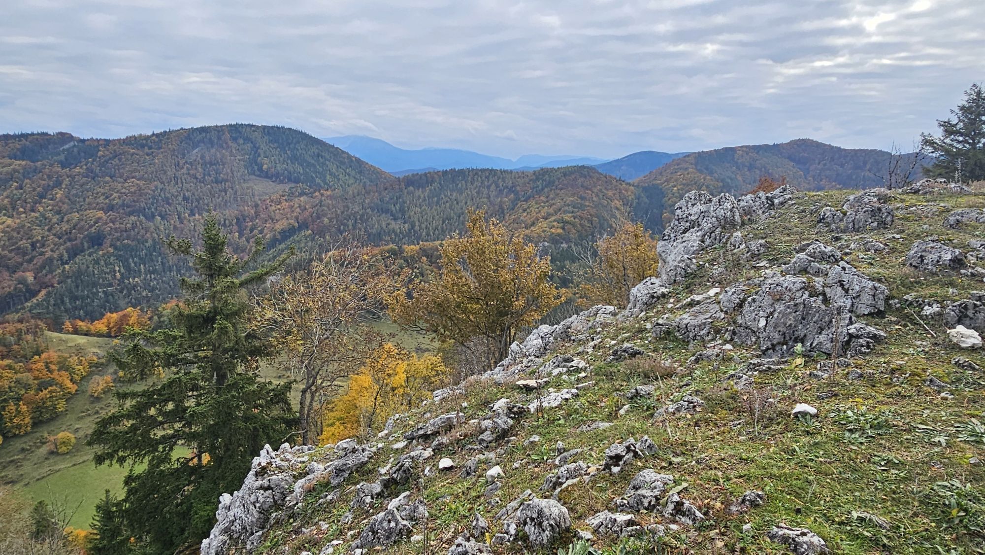
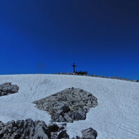
Gaisstein
(975 m)
Summit
4,5 km
Atzsattel
(911 m)
Mountain saddle
7,1 km
Geißruck
(1.074 m)
Summit
8,4 km
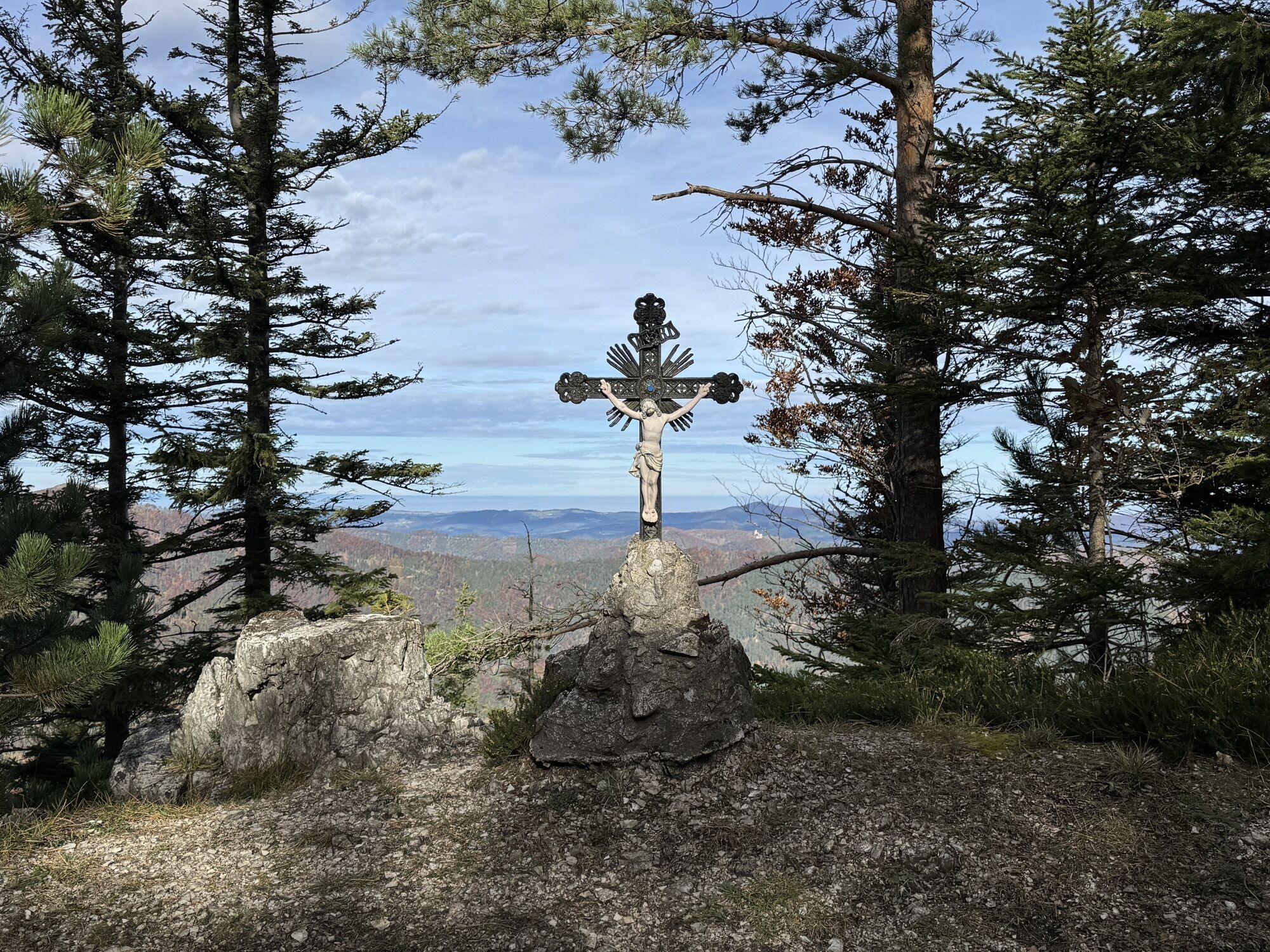
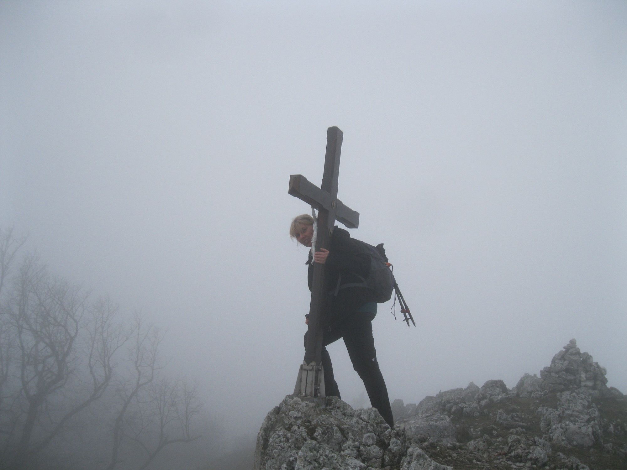
Kieneck
(1.106 m)
Summit
11,1 km
Weißriegel
(826 m)
Summit
12,0 km
Route
Gutensteiner Alpen: Gaisstein und Kieneck
medium
Pješačenje
20,24
km
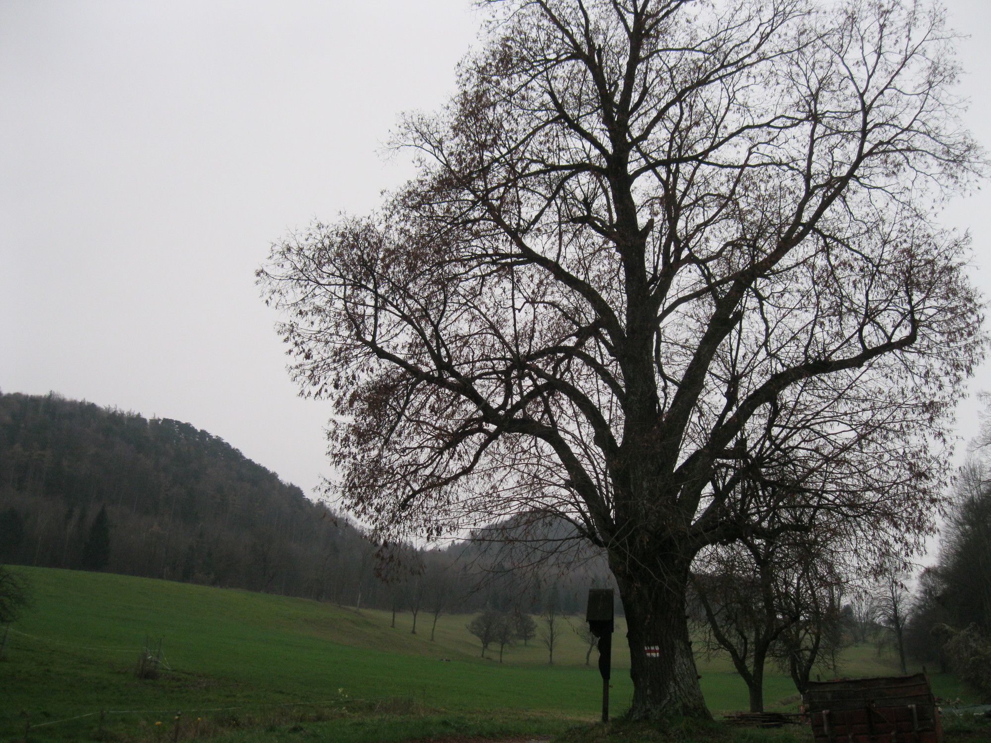
Furth an der Triesting
(421 m)
Village
0,1 km
St. Magdalena
(422 m)
Place of worship
0,1 km
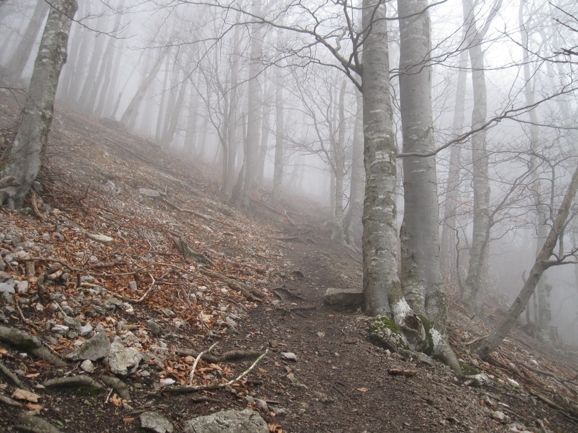
Untere Himmelsreithhöhle
(758 m)
Cave entrance
3,5 km
Obere Himmelsreithhöhle
(760 m)
Cave entrance
3,5 km
Gaisstein
(975 m)
Summit
4,5 km
Gaissteinspalte
(855 m)
Cave entrance
4,7 km
Schindelbodenhöhle
(903 m)
Cave entrance
6,8 km
Atzsattel
(911 m)
Mountain saddle
7,1 km
Geißruck
(1.074 m)
Summit
8,4 km
Almeskogel
(1.065 m)
Summit
9,3 km
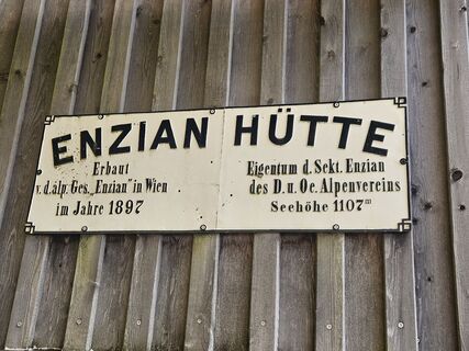
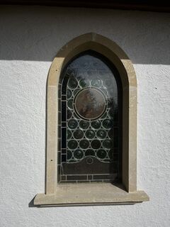
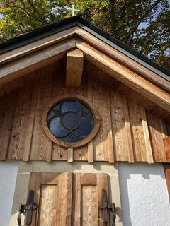
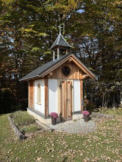
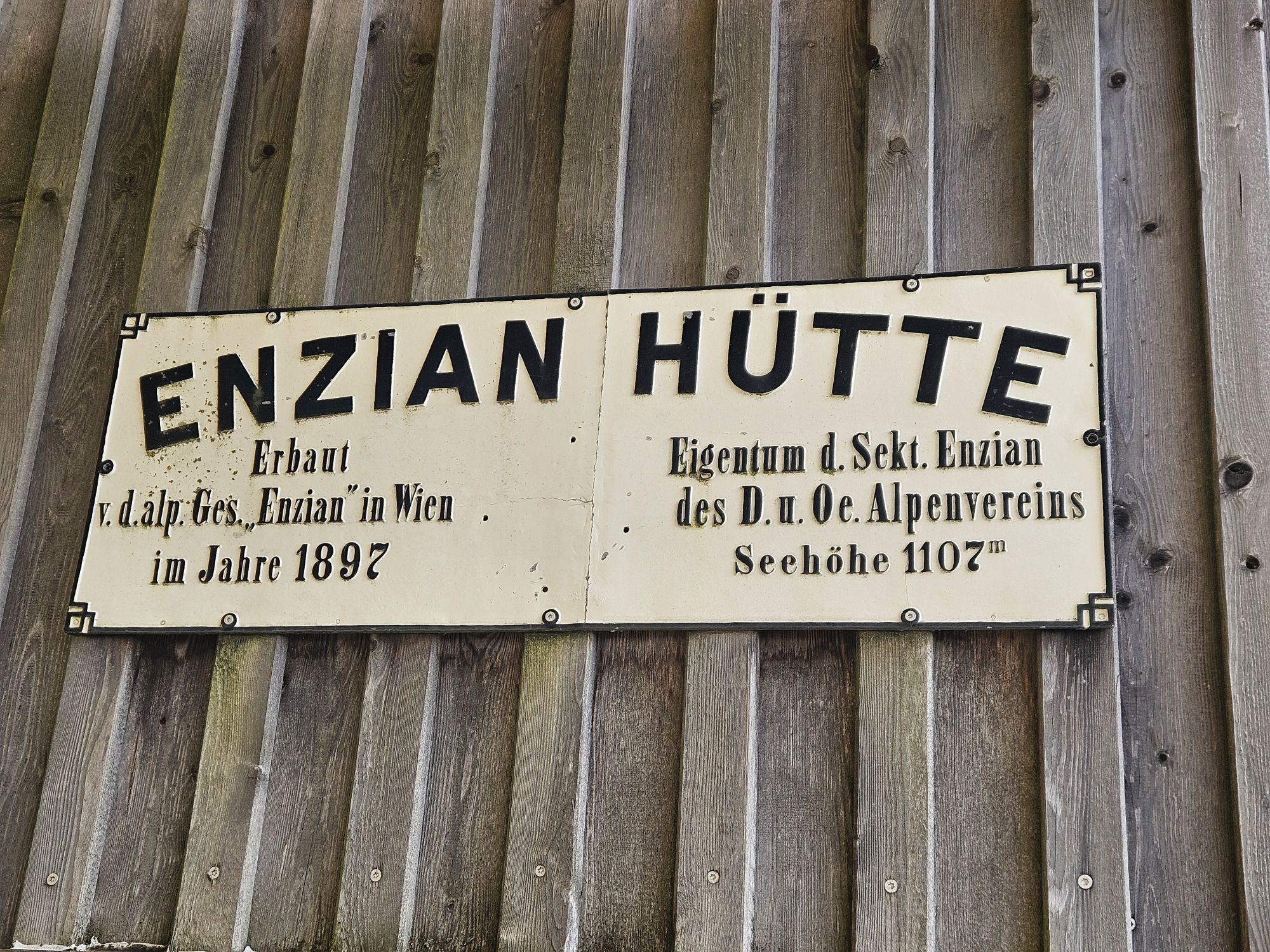
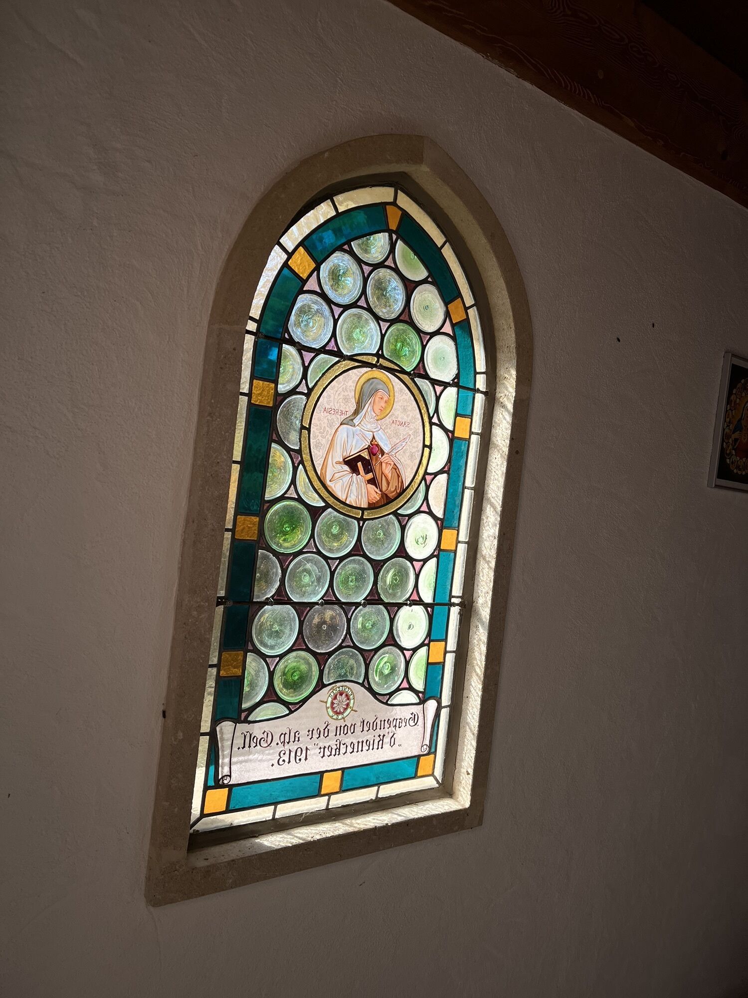
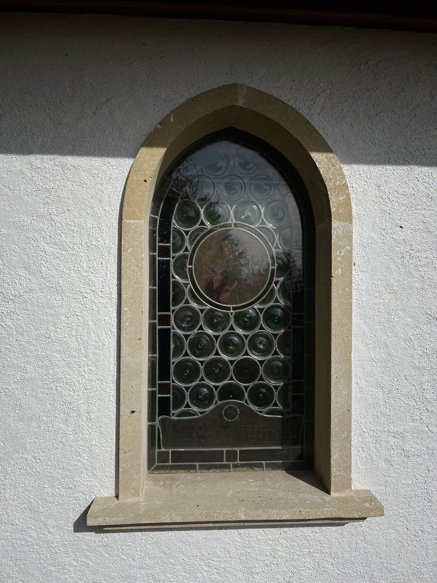
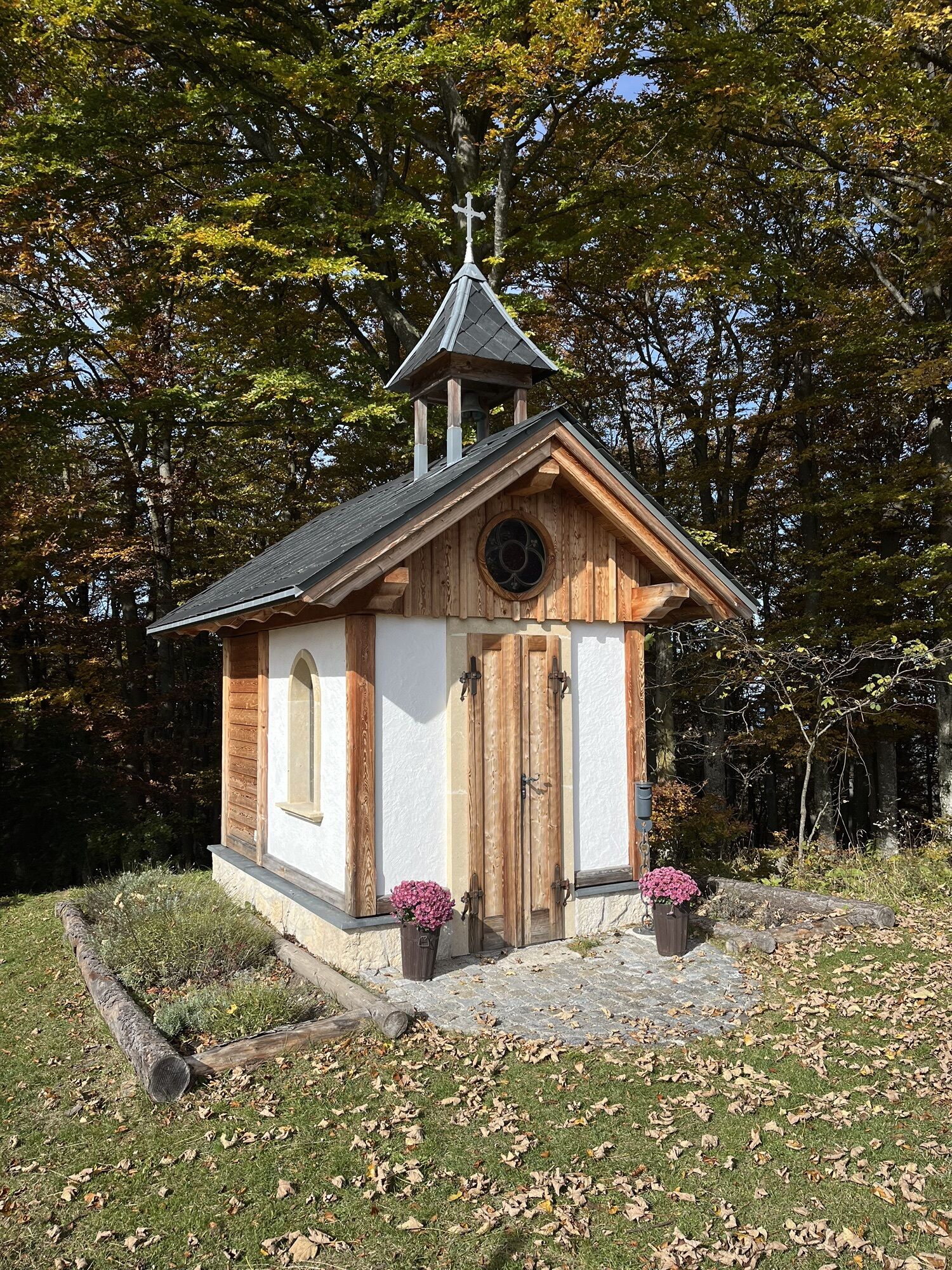
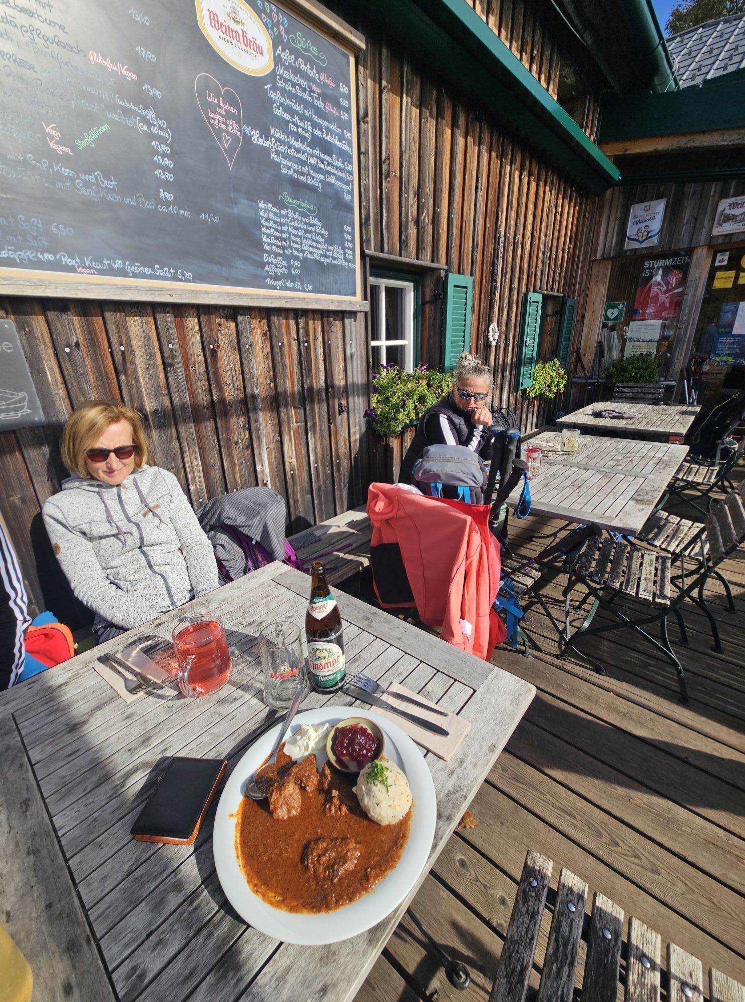
Enzianhütte
(1.105 m)
Shelter
11,1 km
Kieneck
(1.106 m)
Summit
11,1 km
Weißriegel
(826 m)
Summit
12,0 km
Furth an der Triesting
(421 m)
Village
20,2 km


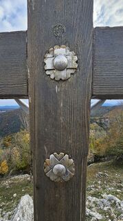
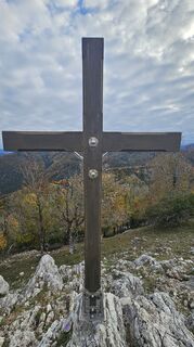
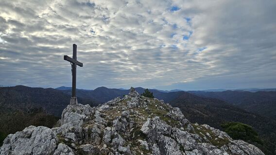
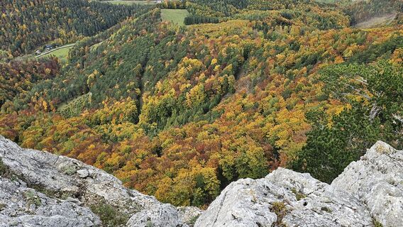
Gaisstein und Kieneck
©
gert gasperin

Gaisstein und Kieneck
©
gert gasperin
Gaisstein und Kieneck
©
gert gasperin

Gaisstein und Kieneck
©
gert gasperin

Gaisstein und Kieneck
©
gert gasperin

Gaisstein und Kieneck
©
gert gasperin

Gaisstein und Kieneck
©
gert gasperin

Gaisstein und Kieneck
©
gert gasperin

Gaisstein und Kieneck
©
gert gasperin
Gaisstein und Kieneck
©
gert gasperin

Gaisstein und Kieneck
©
gert gasperin

Gaisstein und Kieneck
©
gert gasperin

Gaisstein und Kieneck
©
gert gasperin
Gaisstein und Kieneck
©
gert gasperin

Gaisstein und Kieneck
©
gert gasperin

Gaisstein und Kieneck
©
gert gasperin

Gaisstein und Kieneck
©
gert gasperin

Gaisstein und Kieneck
©
gert gasperin
Gaisstein und Kieneck
©
gert gasperin

Gaisstein und Kieneck
©
gert gasperin

Gaisstein und Kieneck
©
gert gasperin

Gaisstein und Kieneck
©
gert gasperin

Gaisstein und Kieneck
©
gert gasperin

Gaisstein und Kieneck
©
gert gasperin

Gaisstein und Kieneck
©
gert gasperin

Gaisstein und Kieneck
©
gert gasperin

Gaisstein und Kieneck
©
gert gasperin

Gaisstein und Kieneck
©
gert gasperin

Gaisstein und Kieneck
©
gert gasperin

Gaisstein und Kieneck
©
gert gasperin

Gaisstein und Kieneck
©
gert gasperin

Gaisstein und Kieneck
©
gert gasperin

Gaisstein und Kieneck
©
gert gasperin

Gaisstein und Kieneck
©
gert gasperin

Gaisstein und Kieneck
©
gert gasperin

Gaisstein und Kieneck
©
gert gasperin
Gaisstein und Kieneck
©
gert gasperin

Gaisstein und Kieneck
©
gert gasperin
Last tracked
3 days ago
Valuations
1 Comment
Wienerwaldschrat
15. kol.. 2025
Verified gone
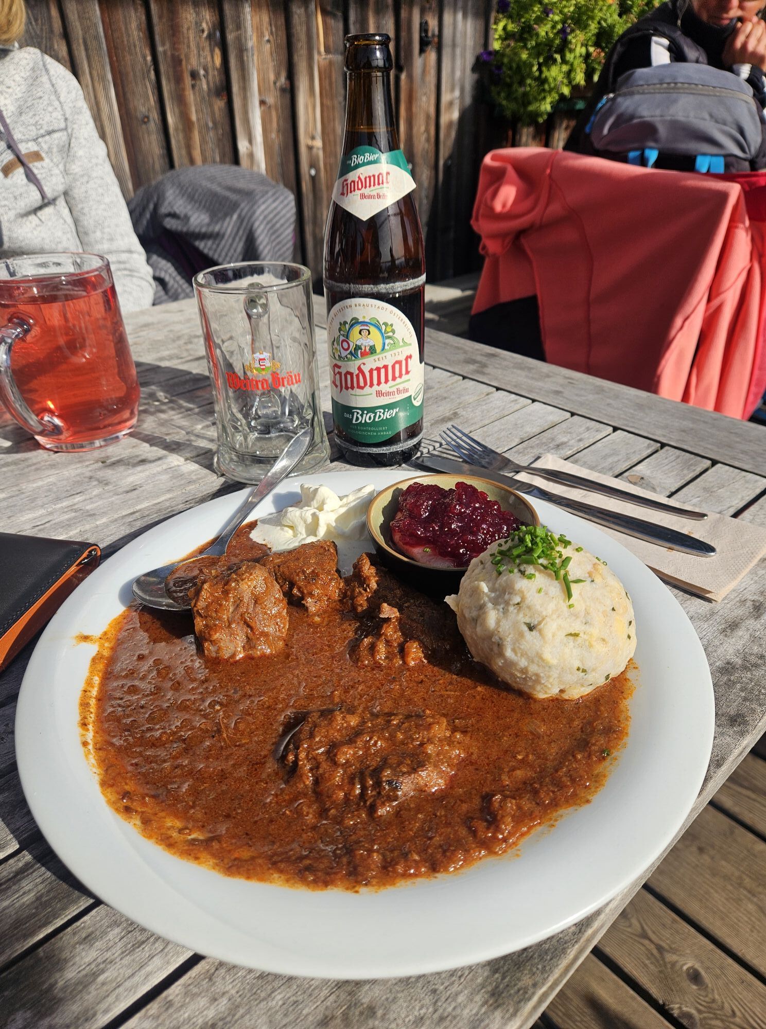
Sehr schöne Tour mit toller Enzianhütte.
Popular tours in the neighbourhood
-
4,7
Schöpfl
lightPješačenje 9,52 km -
4,4
Berndorf Guglzipf Forest Educational Trail
mediumTematska staza 2,90 km -
4,5
Kieneck über den Enziansteig
lightPješačenje 12,6 km -
4,0
Schöpfl von Sankt Corona
mediumPješačenje 10,1 km -
4,5
Hainfelder Hütte: Schöner Rundkurs abseits der Massen
lightPješačenje 10,1 km -
4,1
Erlebnisweg Peilstein...auf den Spuren der Kletterer
mediumTematska staza 6 km -
3,9
Gutensteiner Alpen: Myrafälle und Hausstein
lightPješačenje 2,92 km -
4,6
Wienerwald: Maria Raisenmarkt - Peilstein
lightZimsko planinarenje 6,82 km -
4,3
Unterberg vom Adamstal
mediumPješačenje 14,6 km -
4,4
Kieneck über Enziansteig & Mareschsteig
lightPješačenje 13,8 km
bergfex Tours

Over 550.000 tour suggestions, detailed maps and an intuitive route planner make the app a must-have for all nature enthusiasts.

Ne propustite ponude i inspiraciju za vaš sljedeći odmor
Subscribe to the newsletter
Error
An error has occurred. Please try again.
Thank you for your registration
Your e-mail address has been added to the mailing list.
Tours throughout Europe
Austrija
Švicarska
Njemačka
Italija
Slovenija
Francuska
Nizozemska
Belgija
Poljska
Lihtenštajn
Češka
Slovačka
Španija
Hrvatska
Bosna i Hercegovina
Luksemburg
Andora
Portugal
Island
Ujedinjeno Kraljevstvo
Irska
Grčka
Albanija
Sjeverna Makedonija
Malta
Norveška
Crna Gora
Moldova
Kosovo
Mađarska
San Marino
Rumunjska
Estonija
Latvija
Bjelorusija
Cipar
Litva
Srbija
Bugarska
Monako
Danska
Švedska
Finska