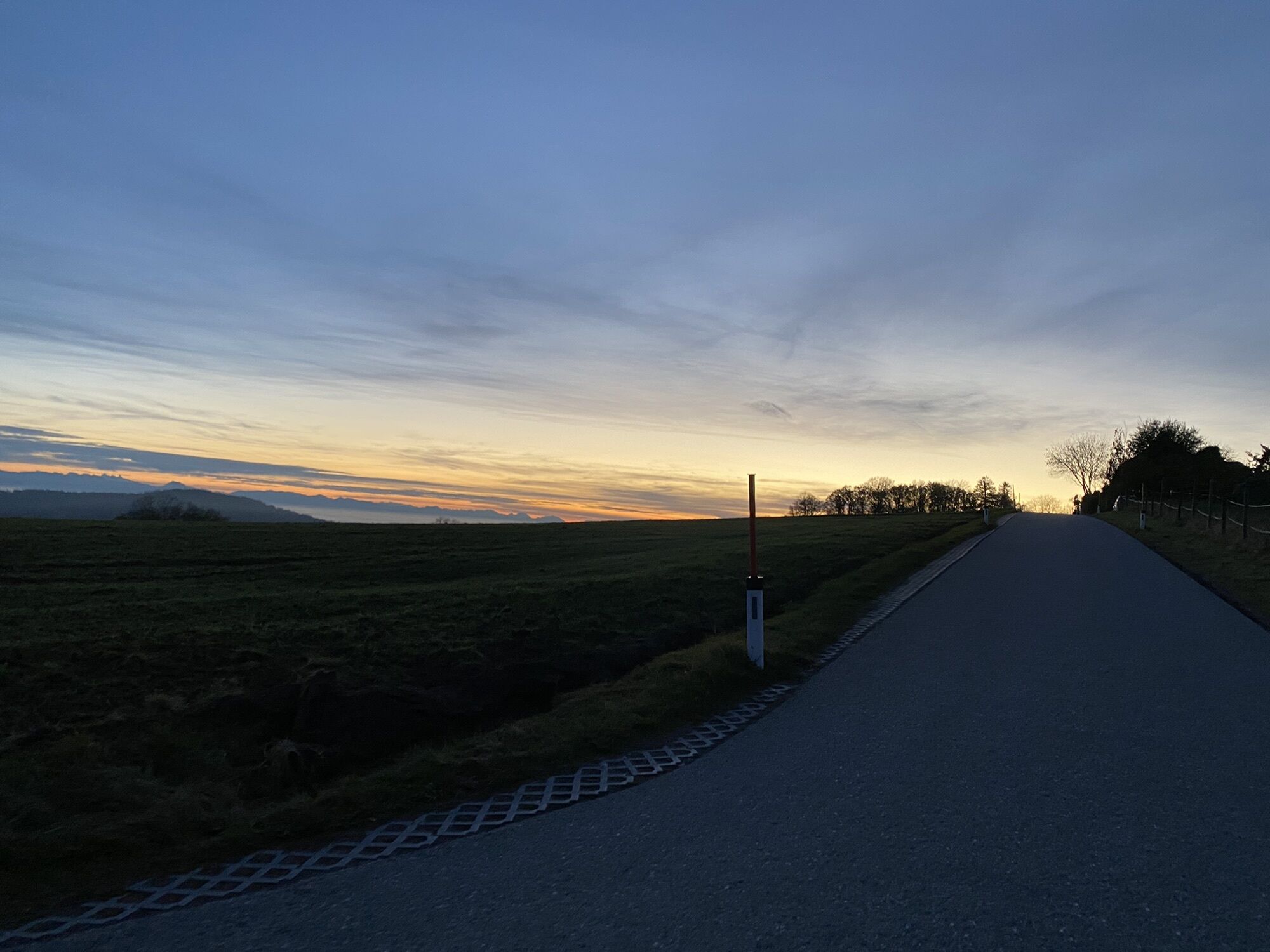
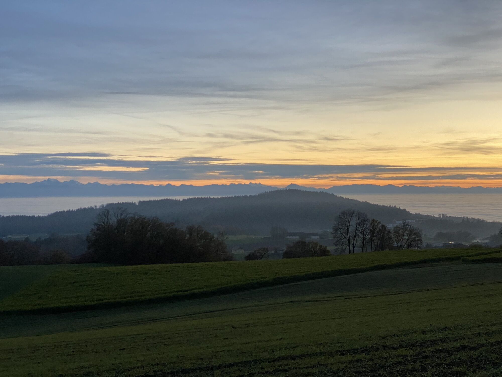
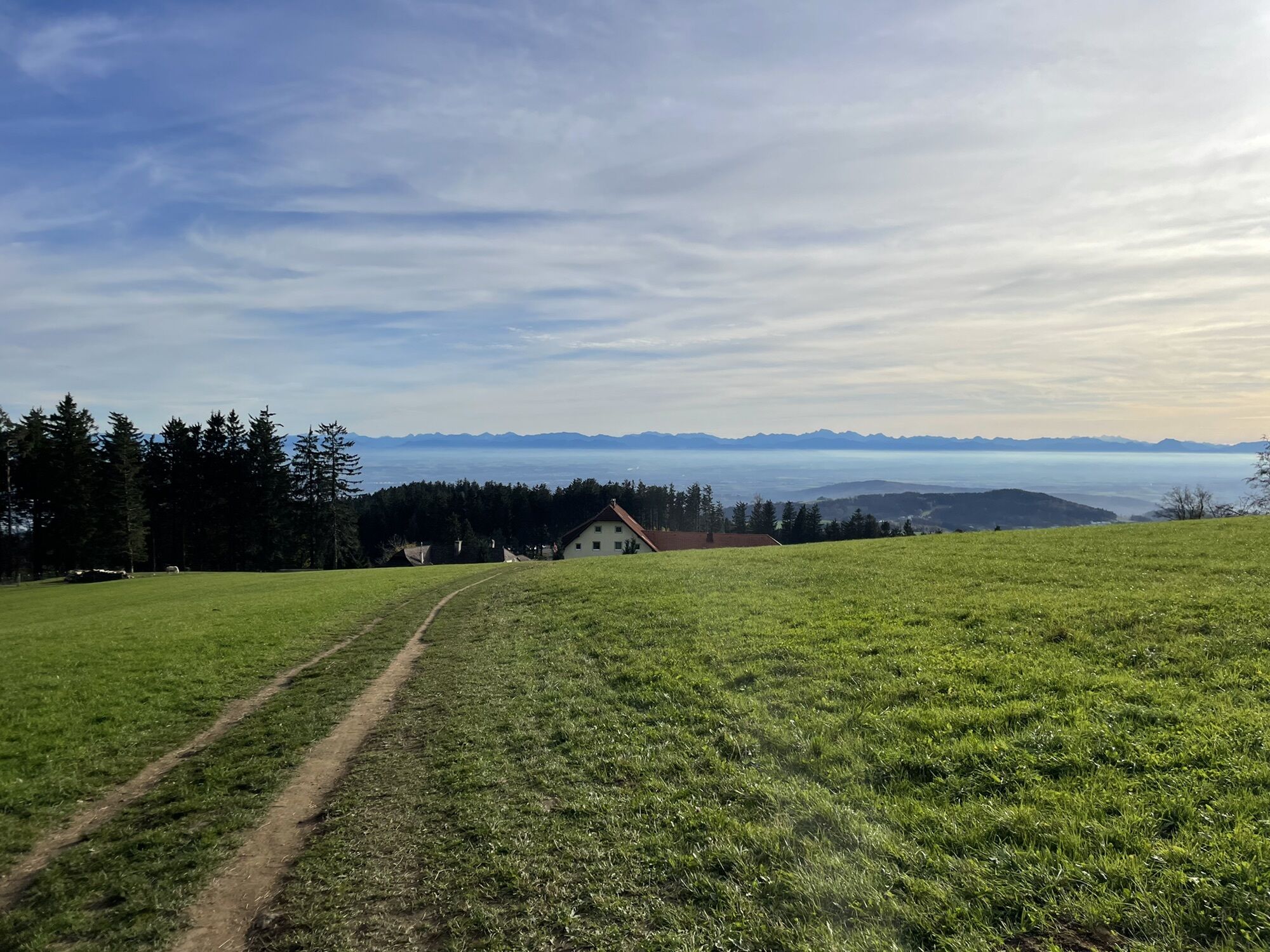
Altlichtenberg um Giselawarte
light
Navigate
Navigate
Get this tour on your mobile
Altlichtenberg um Giselawarte
light
Pješačenje
12,10
km
Scan the QR code and start navigation in the bergfex app

Hiking & Tracking


Distance
12,10
km
Duration
02:50
h
Ascent
324
m
Sea level
611 -
873
m
Track download
Altlichtenberg um Giselawarte
light
Pješačenje
12,10
km


Route
Lichtenberg
(622 m)
Village
0,5 km
Neulichtenberg
(619 m)
Settlement
1,9 km
Gasthaus Reisinger
(625 m)
Restaurant
2,1 km
Mühlberg
(617 m)
Settlement
2,6 km
Panoramastüberl
(700 m)
Restaurant
9,9 km
Lichtenberg
(622 m)
Village
11,9 km
Route
Altlichtenberg um Giselawarte
light
Pješačenje
12,10
km
Lichtenberg
(622 m)
Village
0,5 km
Neulichtenberg
(619 m)
Settlement
1,9 km
Gasthaus Reisinger
(625 m)
Restaurant
2,1 km
Mühlberg
(617 m)
Settlement
2,6 km
Panoramastüberl
(700 m)
Restaurant
9,9 km
Lichtenberg
(622 m)
Village
11,9 km


Valuations
1 Comment
Wolfgang Vilsecker
28. tra.. 2024
Rund um die Giselawarte
Popular tours in the neighbourhood
-
4,5
Ura Stoa - Roadlberg - Runde, Alberndorf
mediumPješačenje 9,20 km -
4,7
Steyregg Donau-Höhen-Rundwanderweg Pulgarn - Hohenstein (und zurück)
lightPješačenje 7 km -
4,8
Prinzensteig Rundweg
lightPješačenje 13,7 km -
4,7
Steyregg Pfenningberg-Gipfelwanderweg
mediumPješačenje 4 km -
4,3
Pesenbachtal - Kerzenstein
lightPješačenje 7,45 km -
3,8
Donausteig stage 3_S05 Wilhering - Linz: “Over the Prinzensteig through the Linz Gate”
mediumDaljinska planinarska staza 13,2 km -
4,2
Linz: City Hiking Trail Pöstlingberg
mediumPješačenje 7,71 km -
5,0
Steyregg AV 50 Plesching - GH Daxleitner
lightPješačenje 4 km -
5,0
Steyregg 3 Buchen Weg
mediumPješačenje 8 km -
4,9
Kreuzweg auf den Pöstlingberg Linz, Österreich
lightPješačenje 1,30 km
bergfex Tours

Over 550.000 tour suggestions, detailed maps and an intuitive route planner make the app a must-have for all nature enthusiasts.

Ne propustite ponude i inspiraciju za vaš sljedeći odmor
Subscribe to the newsletter
Error
An error has occurred. Please try again.
Thank you for your registration
Your e-mail address has been added to the mailing list.
Tours throughout Europe
Austrija
Švicarska
Njemačka
Italija
Slovenija
Francuska
Nizozemska
Belgija
Poljska
Lihtenštajn
Češka
Slovačka
Španija
Hrvatska
Bosna i Hercegovina
Luksemburg
Andora
Portugal
Island
Ujedinjeno Kraljevstvo
Irska
Grčka
Albanija
Sjeverna Makedonija
Malta
Norveška
Crna Gora
Moldova
Kosovo
Mađarska
San Marino
Rumunjska
Estonija
Latvija
Bjelorusija
Cipar
Litva
Srbija
Bugarska
Monako
Danska
Švedska
Finska