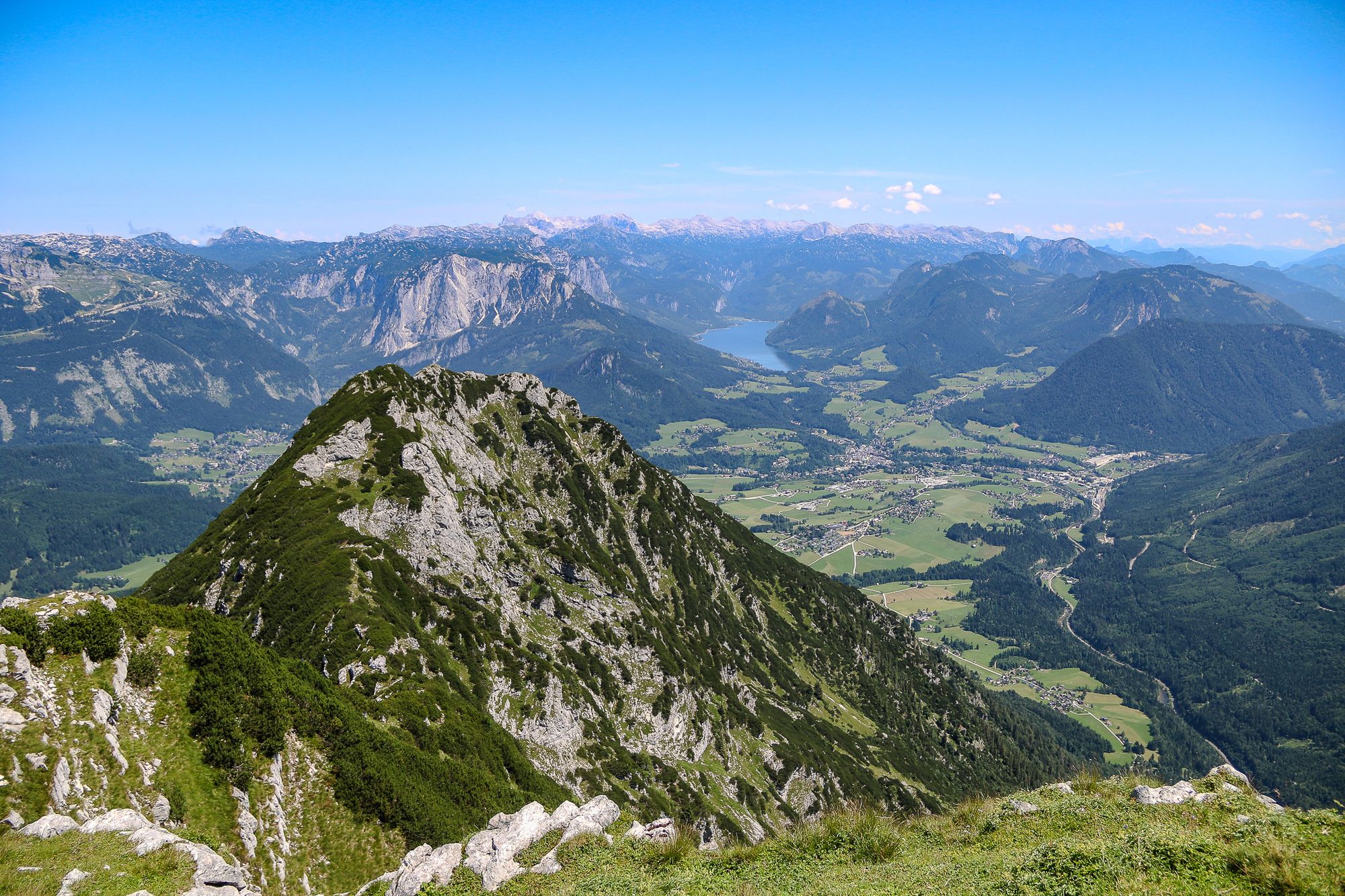
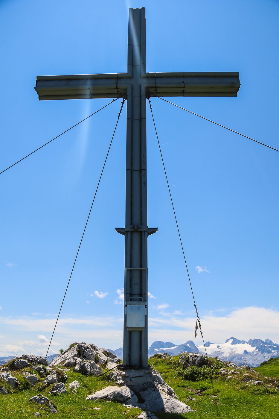
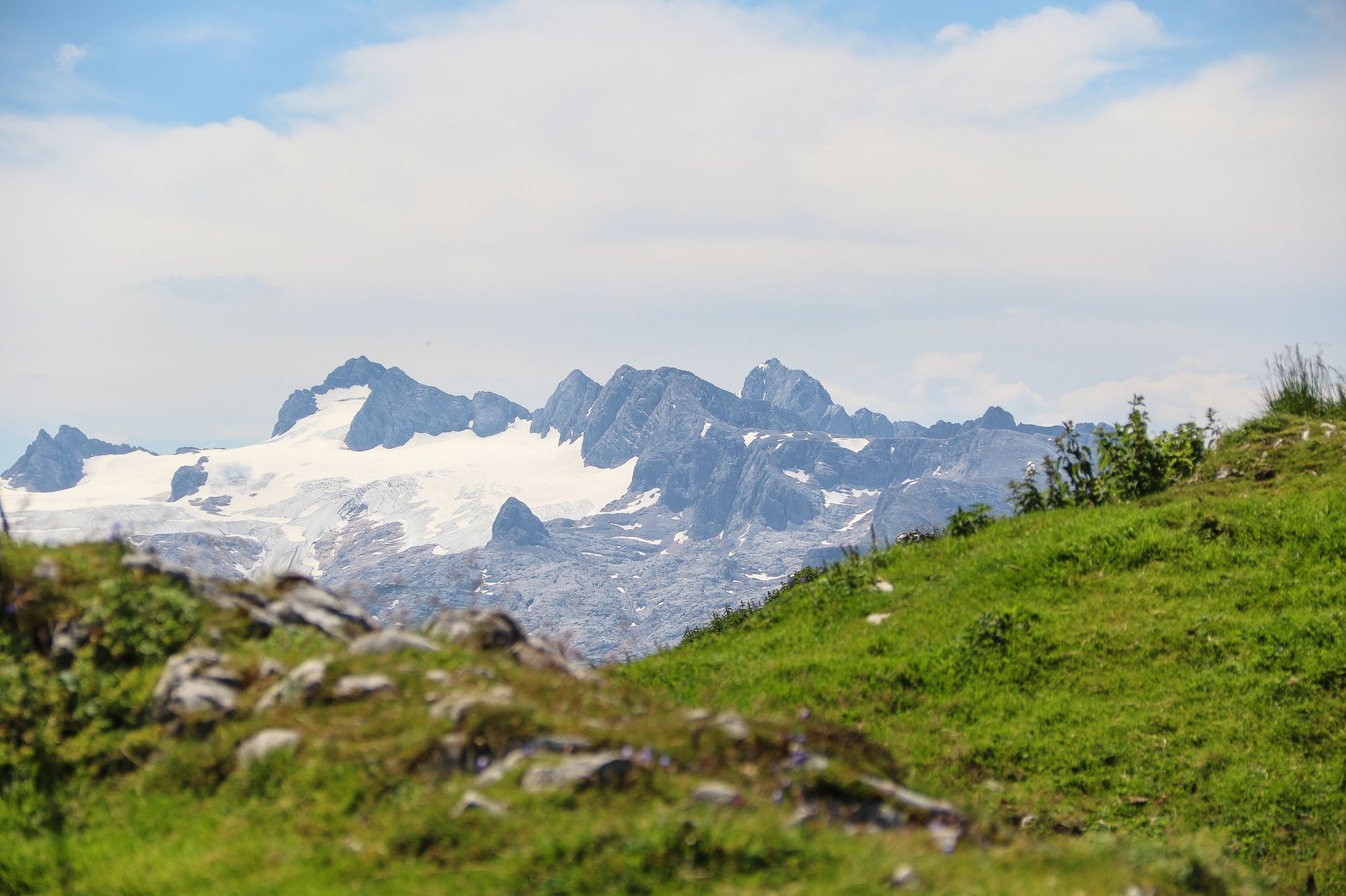
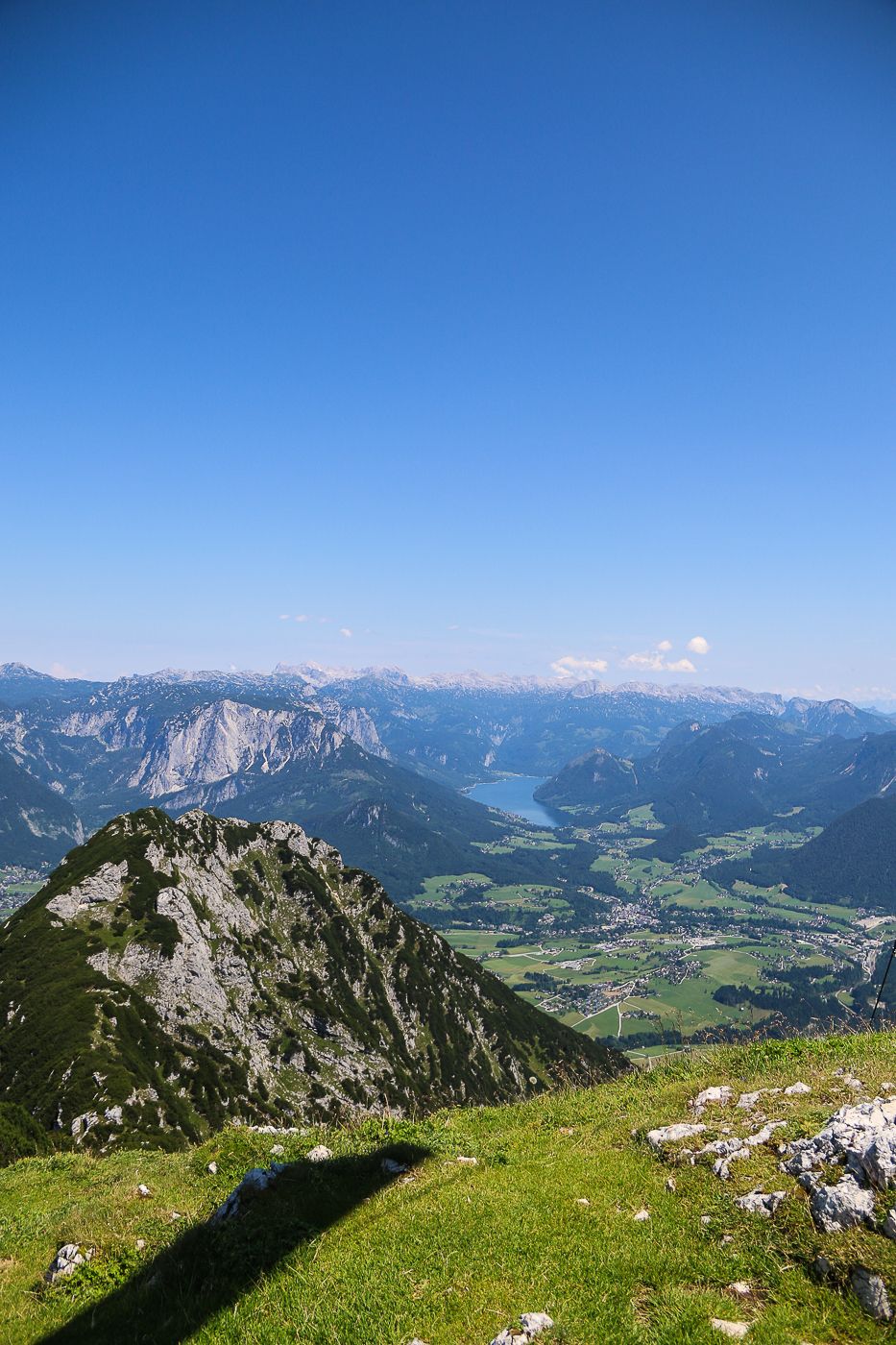
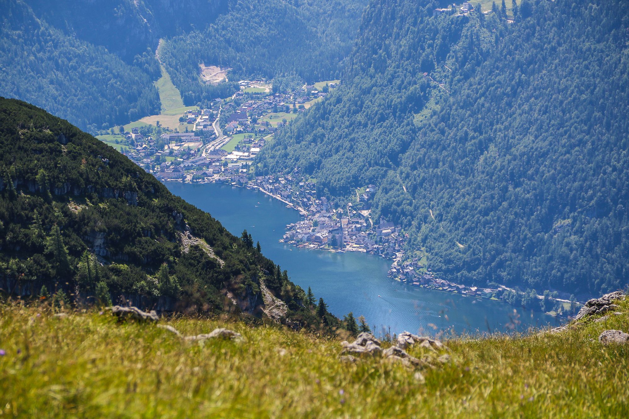
Hoher Sarstein
medium
Navigate
Navigate
Get this tour on your mobile
Hoher Sarstein
medium
Pješačenje
13,36
km
Scan the QR code and start navigation in the bergfex app

Hiking & Tracking


Distance
13,36
km
Duration
06:00
h
Ascent
1.073
m
Sea level
746 -
1.969
m
Track download
Hoher Sarstein
medium
Pješačenje
13,36
km


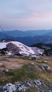
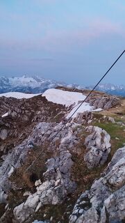
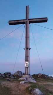
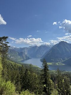
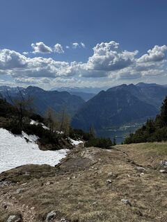
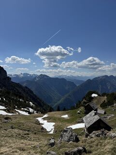
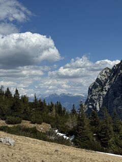
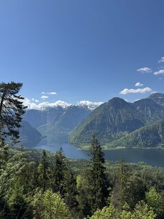
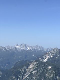
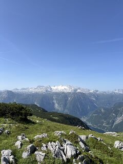
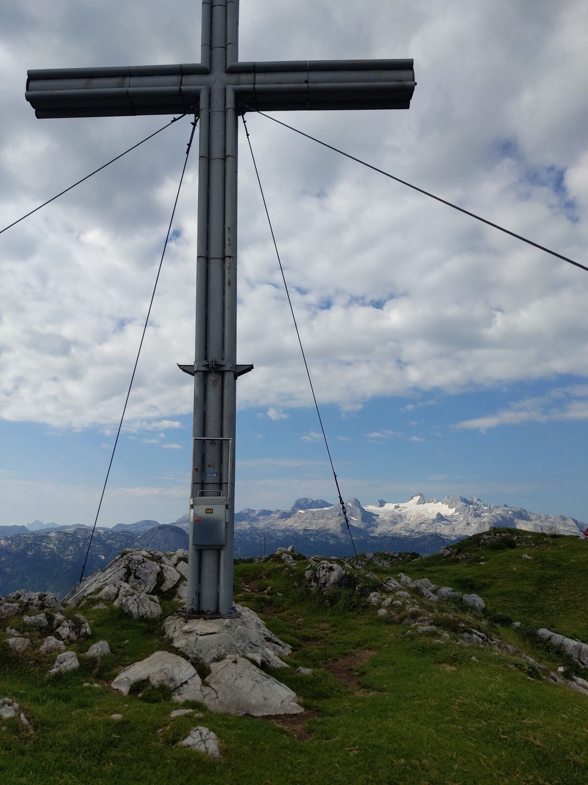
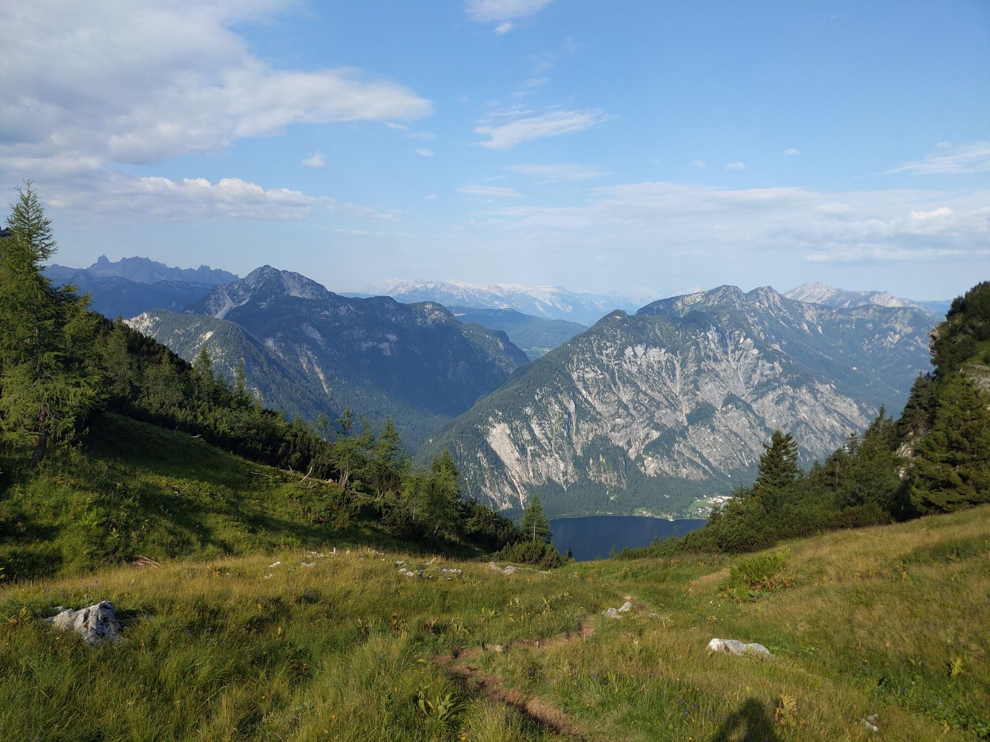
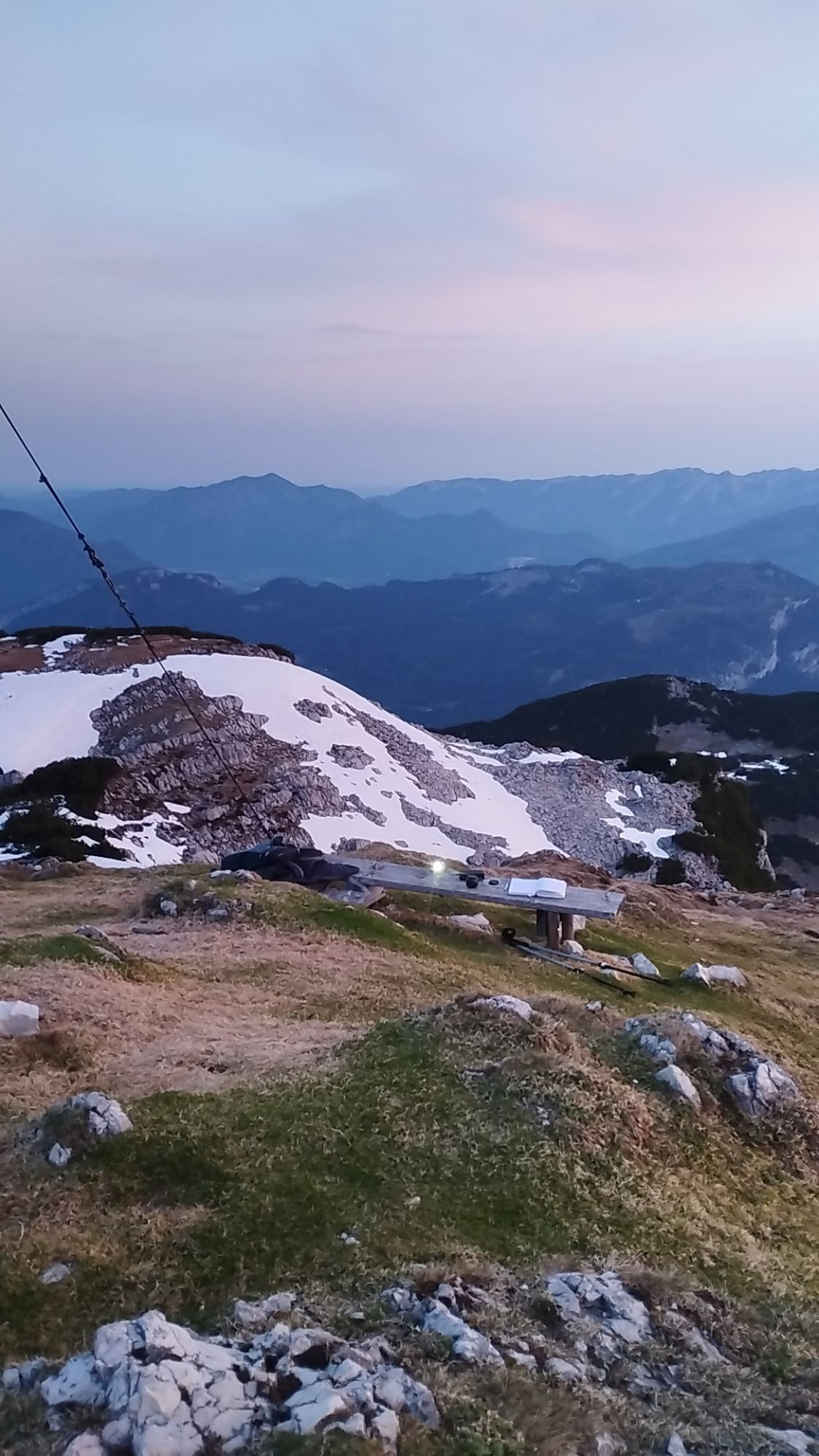
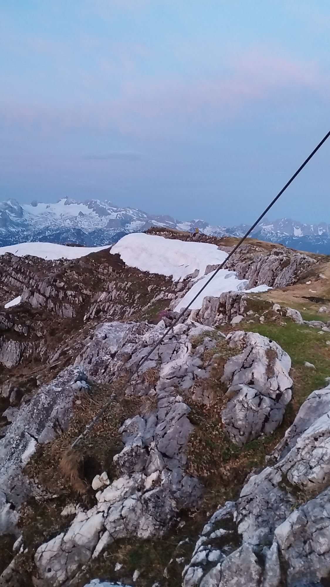
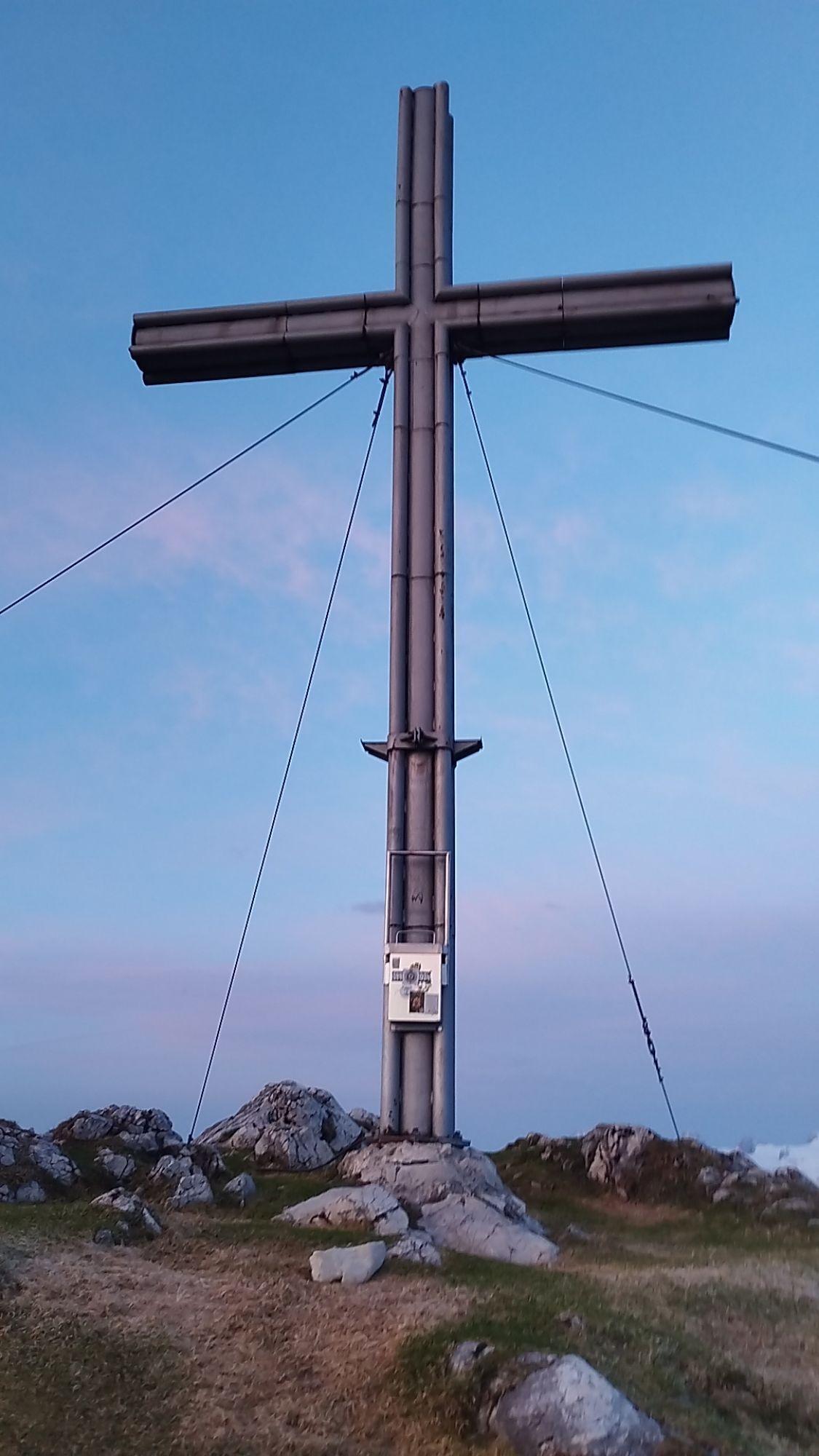
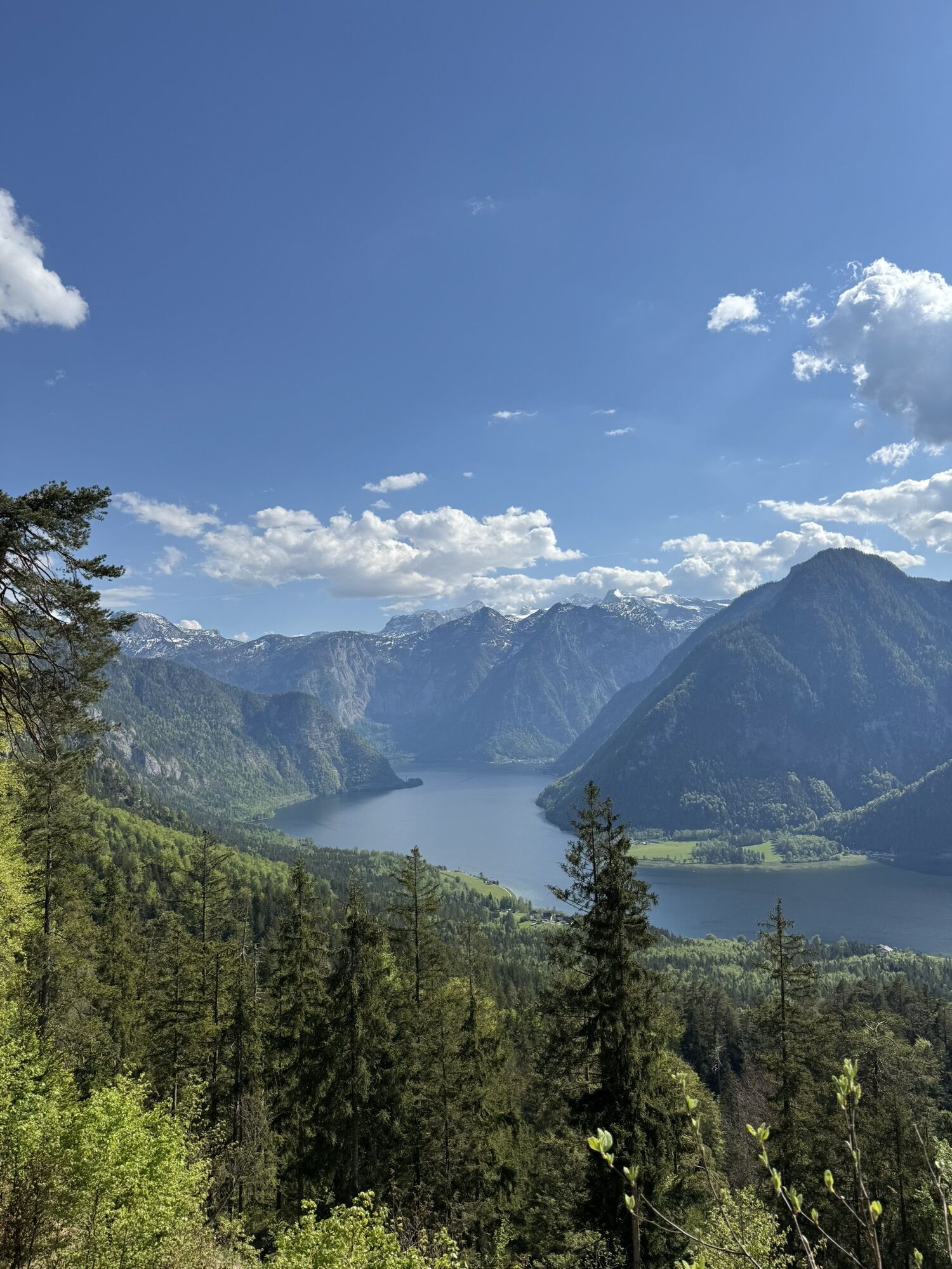
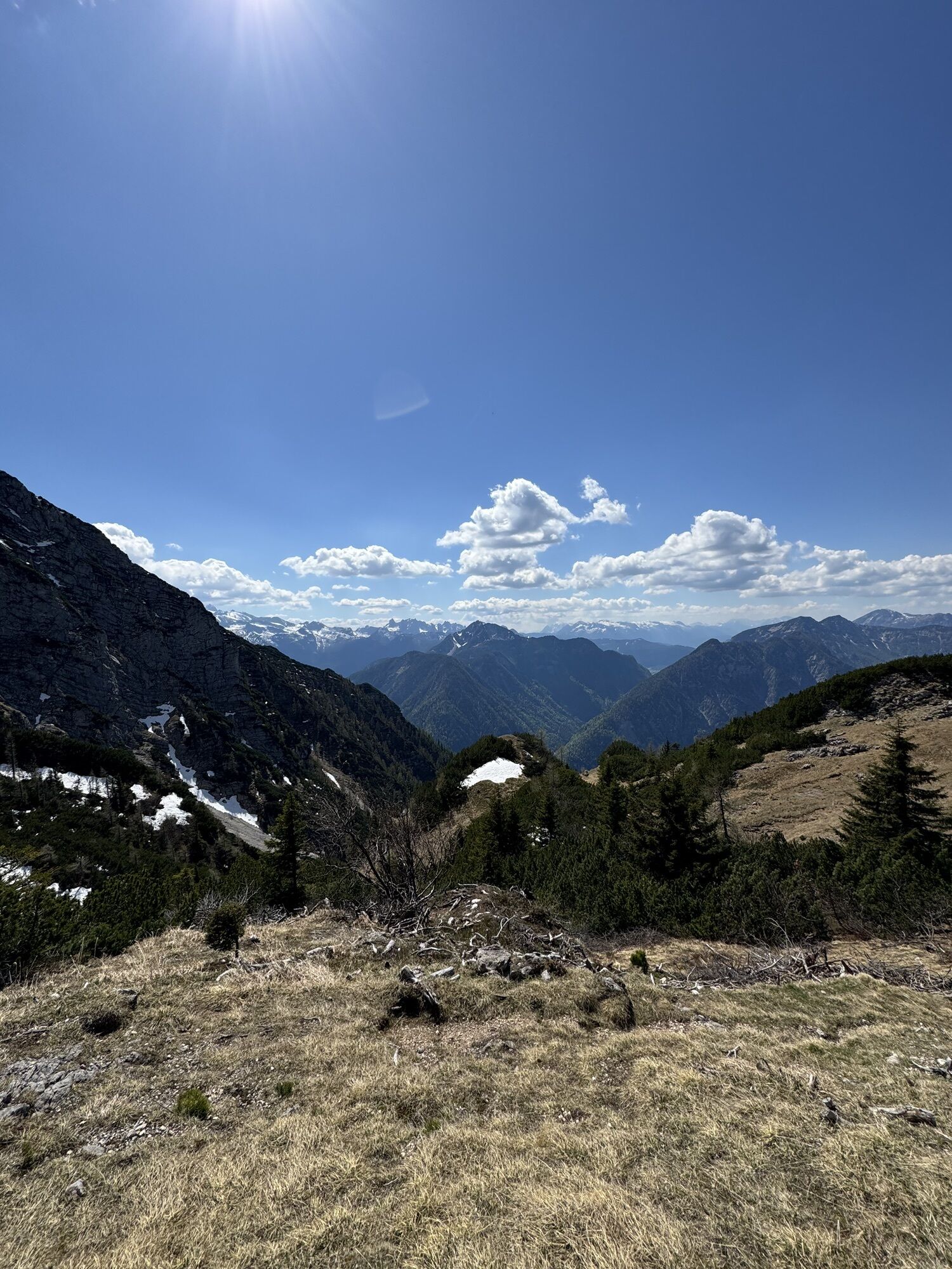
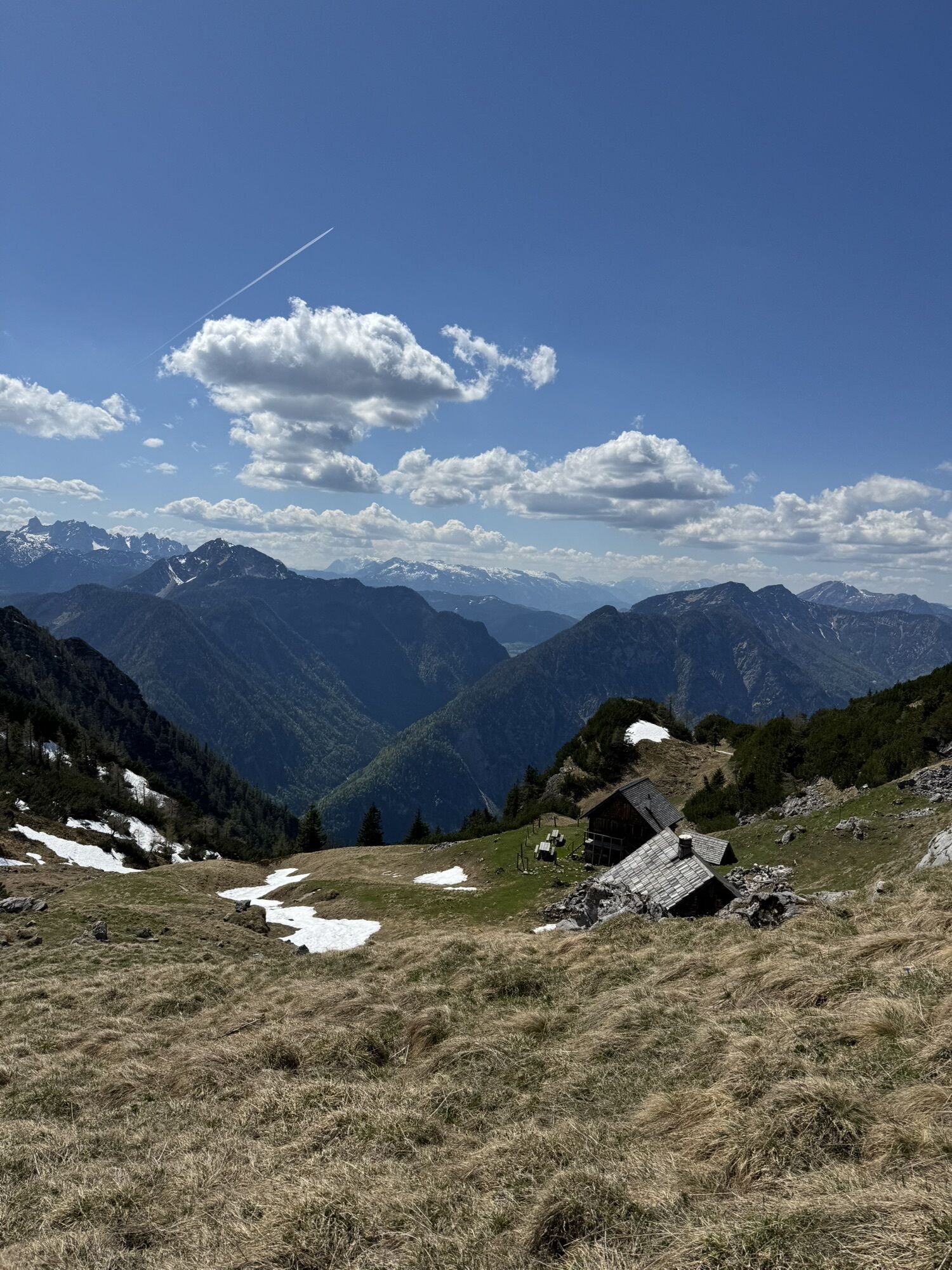
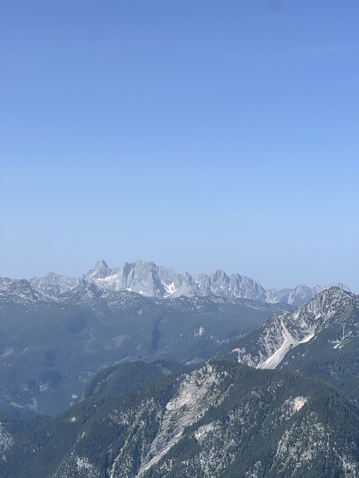
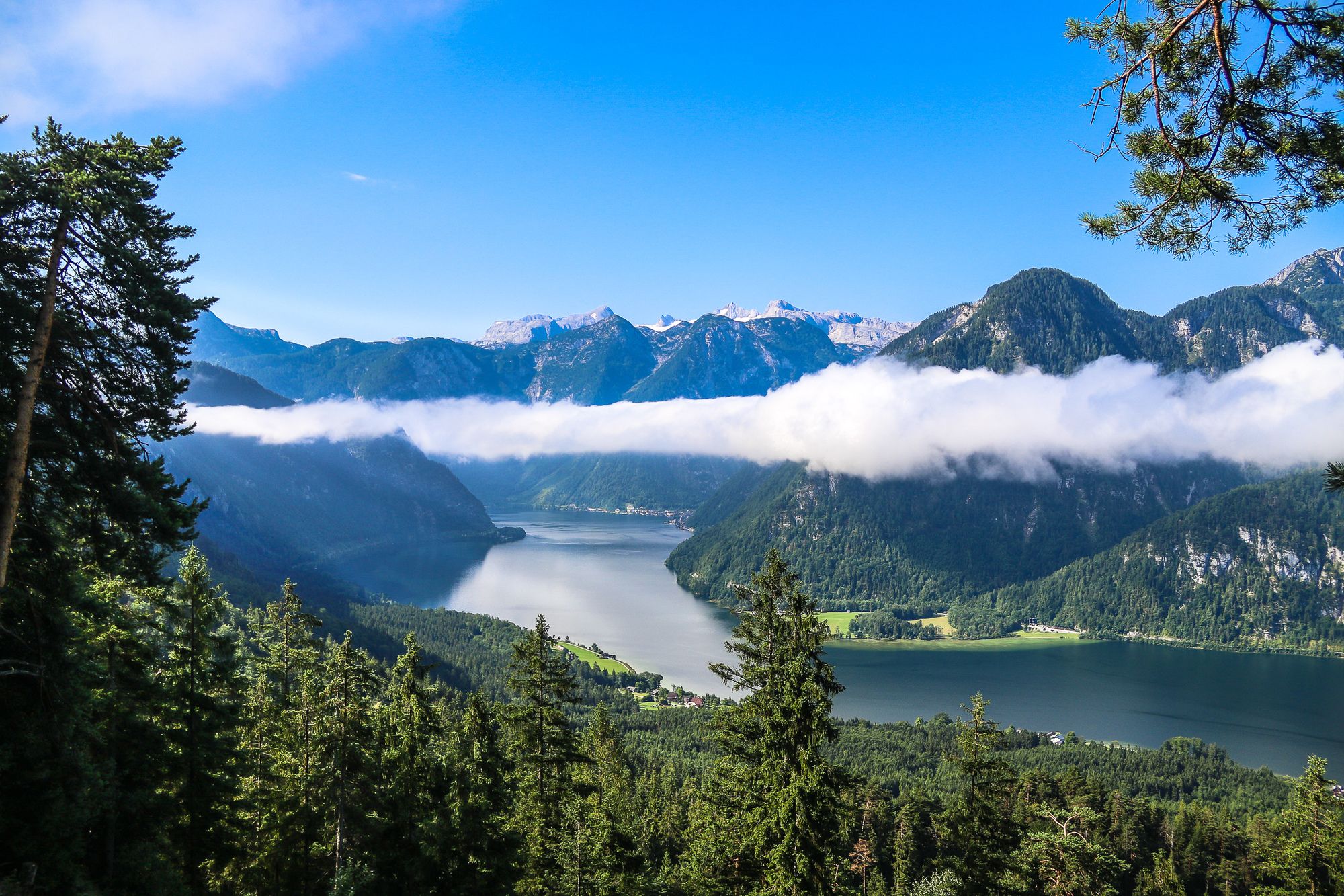
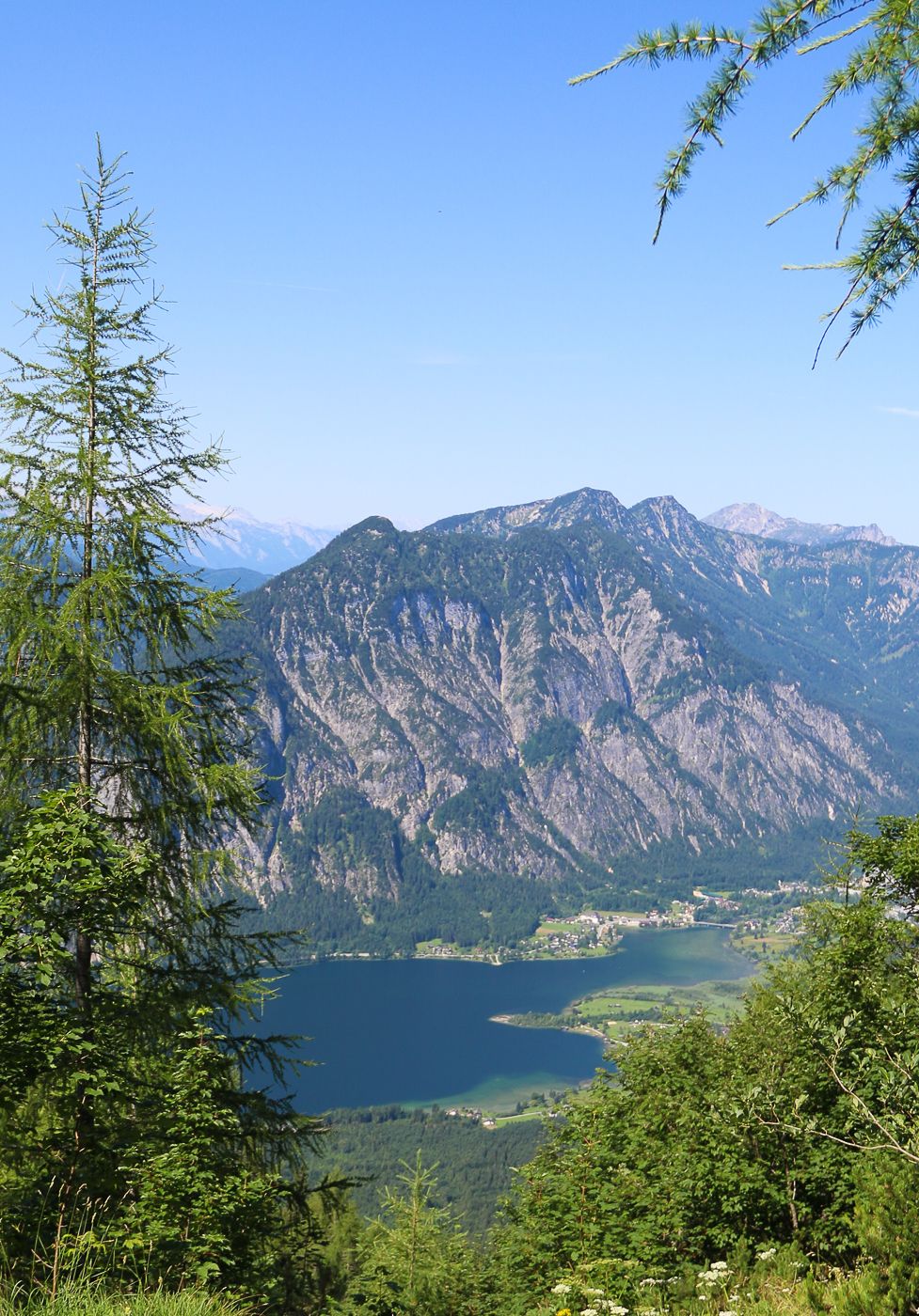
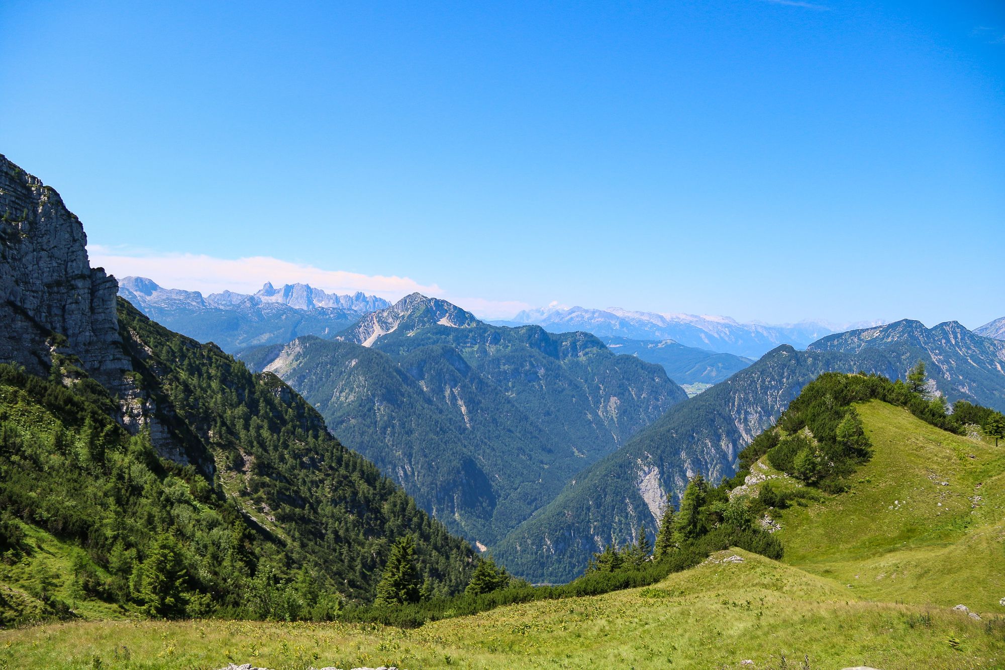
Photos from our users
-
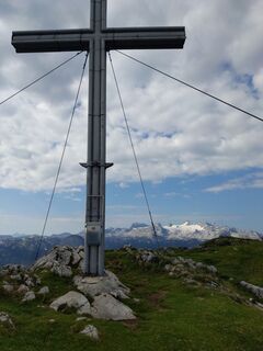
 © WuthaCreated on 30.07.2021
 -
 © WuthaCreated on 30.07.2021
 -
 © WuthaCreated on 30.07.2021
 -
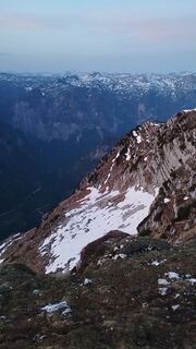
 © Artjom OmeltschenkoCreated on 03.05.2025
 -
 © Artjom OmeltschenkoCreated on 03.05.2025
 -
 © Artjom OmeltschenkoCreated on 03.05.2025
 -
 © Artjom OmeltschenkoCreated on 03.05.2025
 -
 © Matthieu LANGCreated on 01.05.2025
 -
 © Matthieu LANGCreated on 01.05.2025
 -
 © Matthieu LANGCreated on 01.05.2025
 -
 © Matthieu LANGCreated on 01.05.2025
 -
 © Matthieu LANGCreated on 01.05.2025
 -
 © Matthieu LANGCreated on 01.05.2025
 -
 © Matthieu LANGCreated on 01.05.2025
 -
 © Simon PayrederCreated on 29.06.2024
 -
 © Simon PayrederCreated on 29.06.2024


Route
Route
Hoher Sarstein
medium
Pješačenje
13,36
km

Last tracked
6 days ago
Route information
Rest & refreshment stop
Sarsteinhütte
Summit tour
Yes
Forest area
Yes
Equipment
Normale Wanderschuhe
Arrival information
Arrival
Über die B145 Salzkammergutstraße zum Pötschenpass
Parking
Parkmöglichkeiten am Pötschenpass
Valuations
1 Comment
Harald Dengjel
21. tra.. 2025
Hoher Sarstein
Mit 1200hm etwas anspruchsvoll, mit ordentlicher Steigung. Wir waren Mitte April unterwegs und auf den letzen 400 hm lag noch gut Schnee. Grödel und Gamaschen sollten zu dieser Zeit nicht fehlen.
Popular tours in the neighbourhood
-
4,8
Heilbronner circular trail
lightPješačenje 7,78 km -
4,5
Hike to the Hütteneckalm
lightPješačenje 8,70 km -
4,8
Loserrunde über Augstsee, Loserfenster, Losergipfel und Loserhütte
mediumPješačenje 4,69 km -
4,4
+++ Grundlsee Umrundung
lightPješačenje 14,9 km -
4,0
Predigtstuhl 1.278m
mediumPješačenje 6,77 km -
4,9
„Hoher Sarstein 1975m“ - Hallstätter Genusstour - Hallstatt - Obertraun - Bad Ischl
heavyPješačenje 23,2 km -
4,6
Frühlingsausflug auf den Predigtstuhl
mediumPješačenje 4,43 km -
4,7
Hütteneck ski & snowshoe tour
mediumSnježne krplje 3,88 km -
4,7
Salzkammergut: Schneestapfen zur Katrinalm
lightPješačenje 16,4 km -
4,3
Trisselwand
mediumPješačenje 4,39 km
bergfex Tours

Over 550.000 tour suggestions, detailed maps and an intuitive route planner make the app a must-have for all nature enthusiasts.

Ne propustite ponude i inspiraciju za vaš sljedeći odmor
Subscribe to the newsletter
Error
An error has occurred. Please try again.
Thank you for your registration
Your e-mail address has been added to the mailing list.
Tours throughout Europe
Austrija
Švicarska
Njemačka
Italija
Slovenija
Francuska
Nizozemska
Belgija
Poljska
Lihtenštajn
Češka
Slovačka
Španija
Hrvatska
Bosna i Hercegovina
Luksemburg
Andora
Portugal
Island
Ujedinjeno Kraljevstvo
Irska
Grčka
Albanija
Sjeverna Makedonija
Malta
Norveška
Crna Gora
Moldova
Kosovo
Mađarska
San Marino
Rumunjska
Estonija
Latvija
Bjelorusija
Cipar
Litva
Srbija
Bugarska
Monako
Danska
Švedska
Finska