


Photos from our users
-
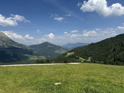
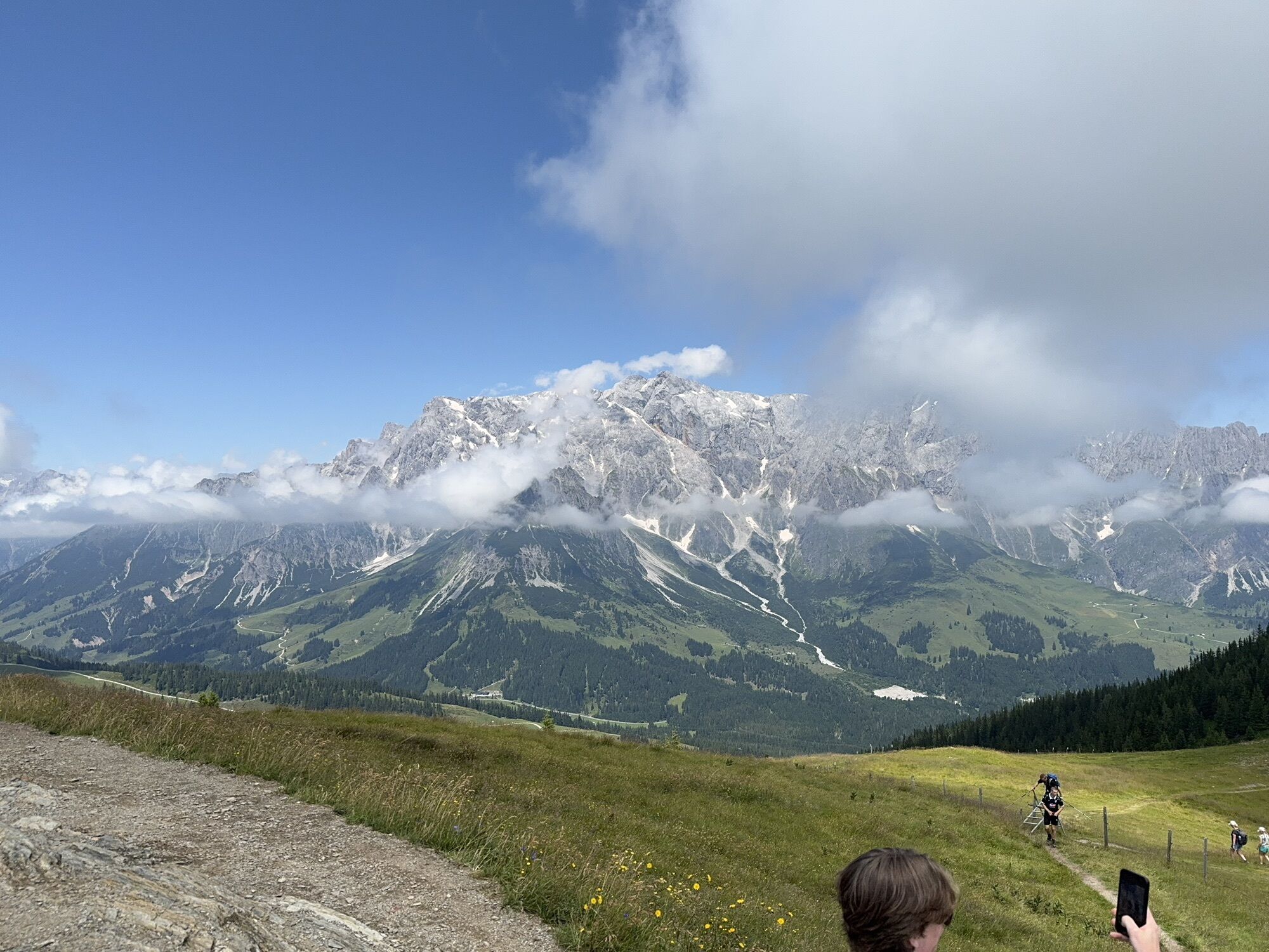
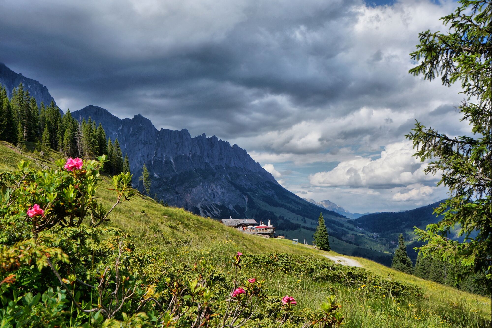
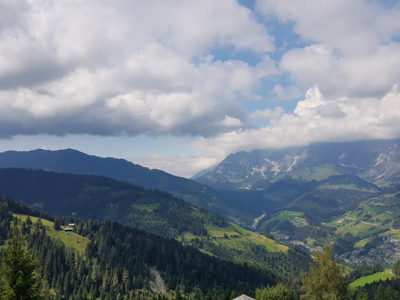
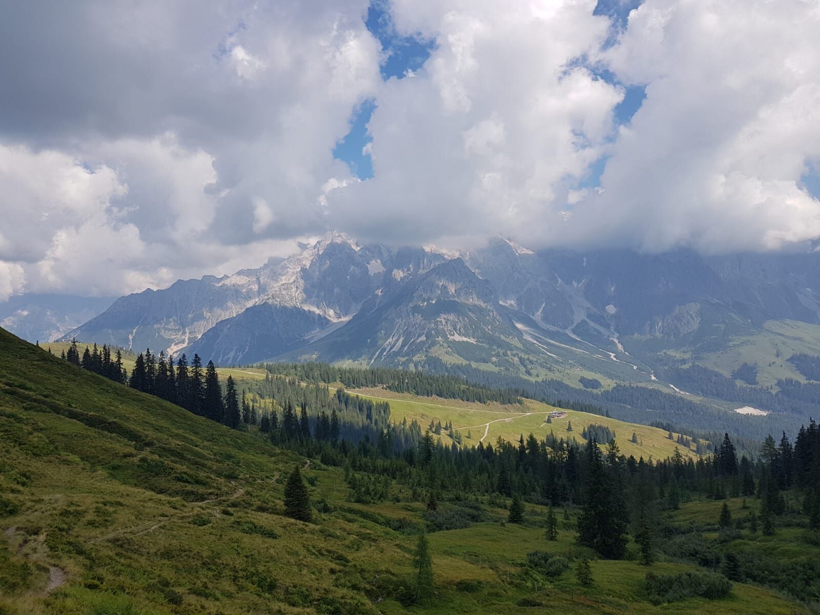
 © StefanCreated on 14.07.2024
 -
 © StefanCreated on 14.07.2024
 -
 © StefanCreated on 14.07.2024
 -

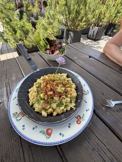
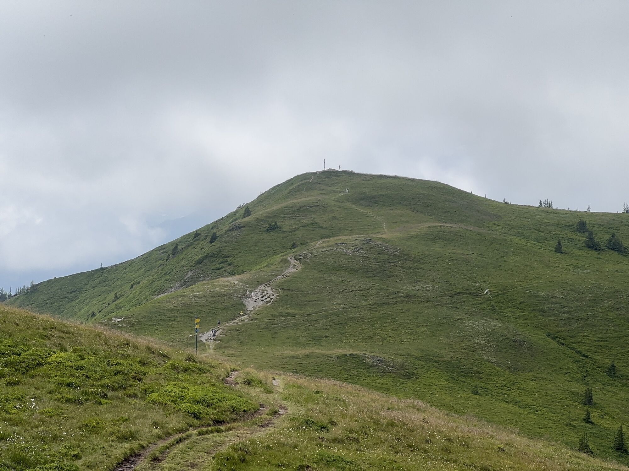
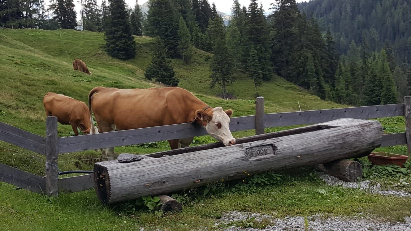
 © Hannes HöffererCreated on 01.11.2024
 -
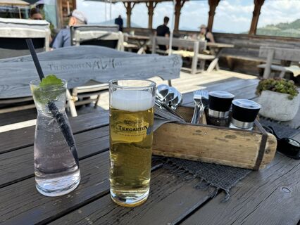
 © Hannes HöffererCreated on 01.11.2024
 -
 © Hannes HöffererCreated on 01.11.2024
 -

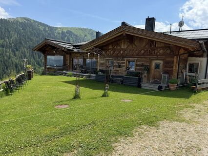
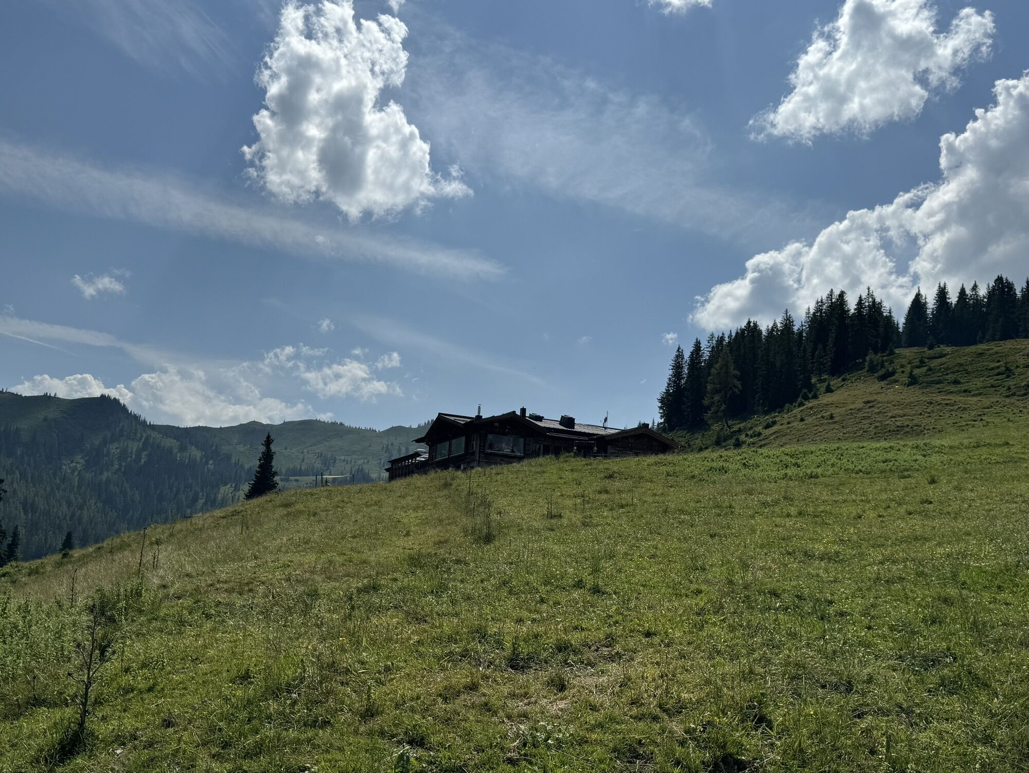
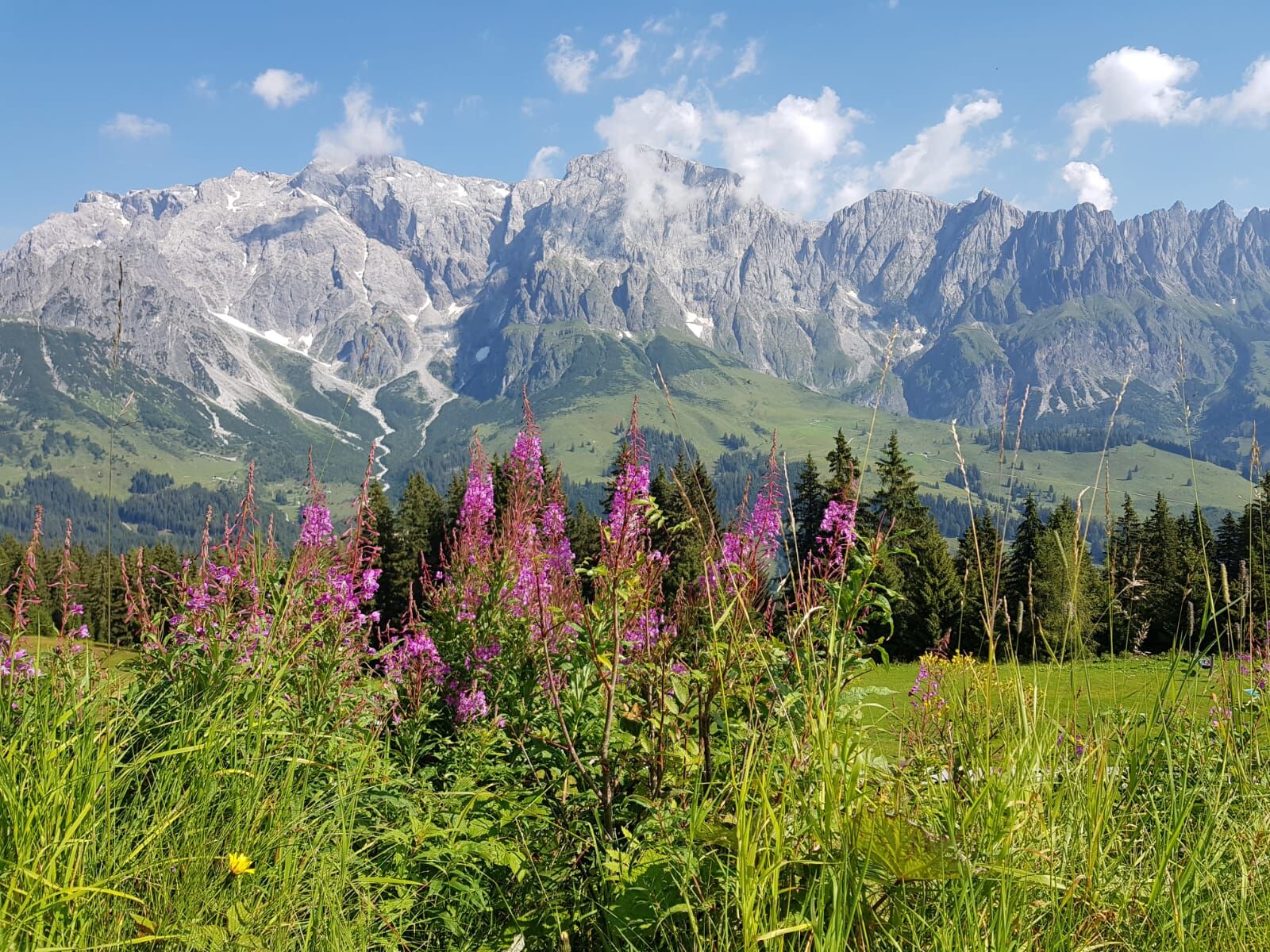
 © Klaus NeuholdCreated on 02.09.2024
 -
 © Klaus NeuholdCreated on 02.09.2024
 -
 © Klaus NeuholdCreated on 02.09.2024
 -
 © Klaus NeuholdCreated on 02.09.2024
 -
 © Klaus NeuholdCreated on 02.09.2024
 -
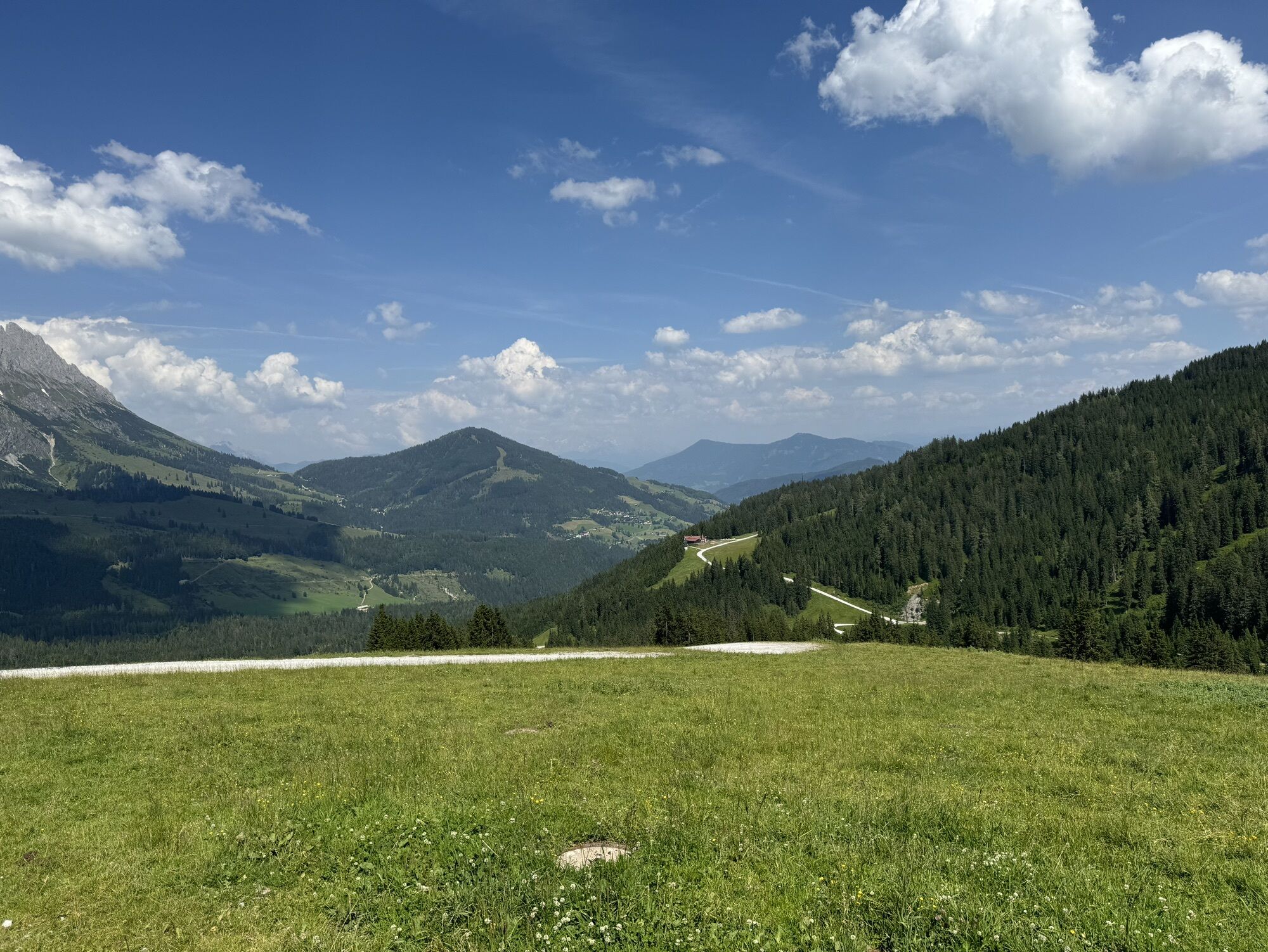
 © StefanCreated on 14.07.2024
 -
 © StefanCreated on 14.07.2024
 -
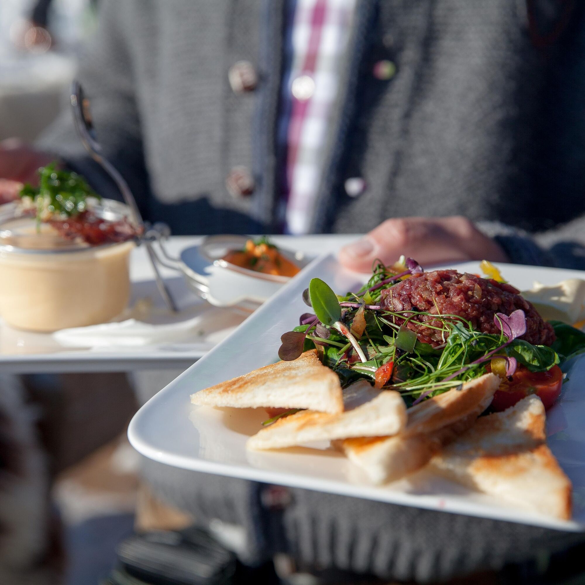
 © feinschmeckerontourCreated on 10.07.2024
 -
 © feinschmeckerontourCreated on 10.07.2024
 -
 © feinschmeckerontourCreated on 10.07.2024
 -
 © feinschmeckerontourCreated on 10.07.2024
 -
 © feinschmeckerontourCreated on 10.07.2024
 -
 © feinschmeckerontourCreated on 10.07.2024
 -
 © feinschmeckerontourCreated on 10.07.2024
 -
 © feinschmeckerontourCreated on 10.07.2024
 -
 © feinschmeckerontourCreated on 10.07.2024
 -
 © feinschmeckerontourCreated on 10.07.2024
 -
 © feinschmeckerontourCreated on 10.07.2024
 -

 © Katrin FortkordCreated on 26.05.2023


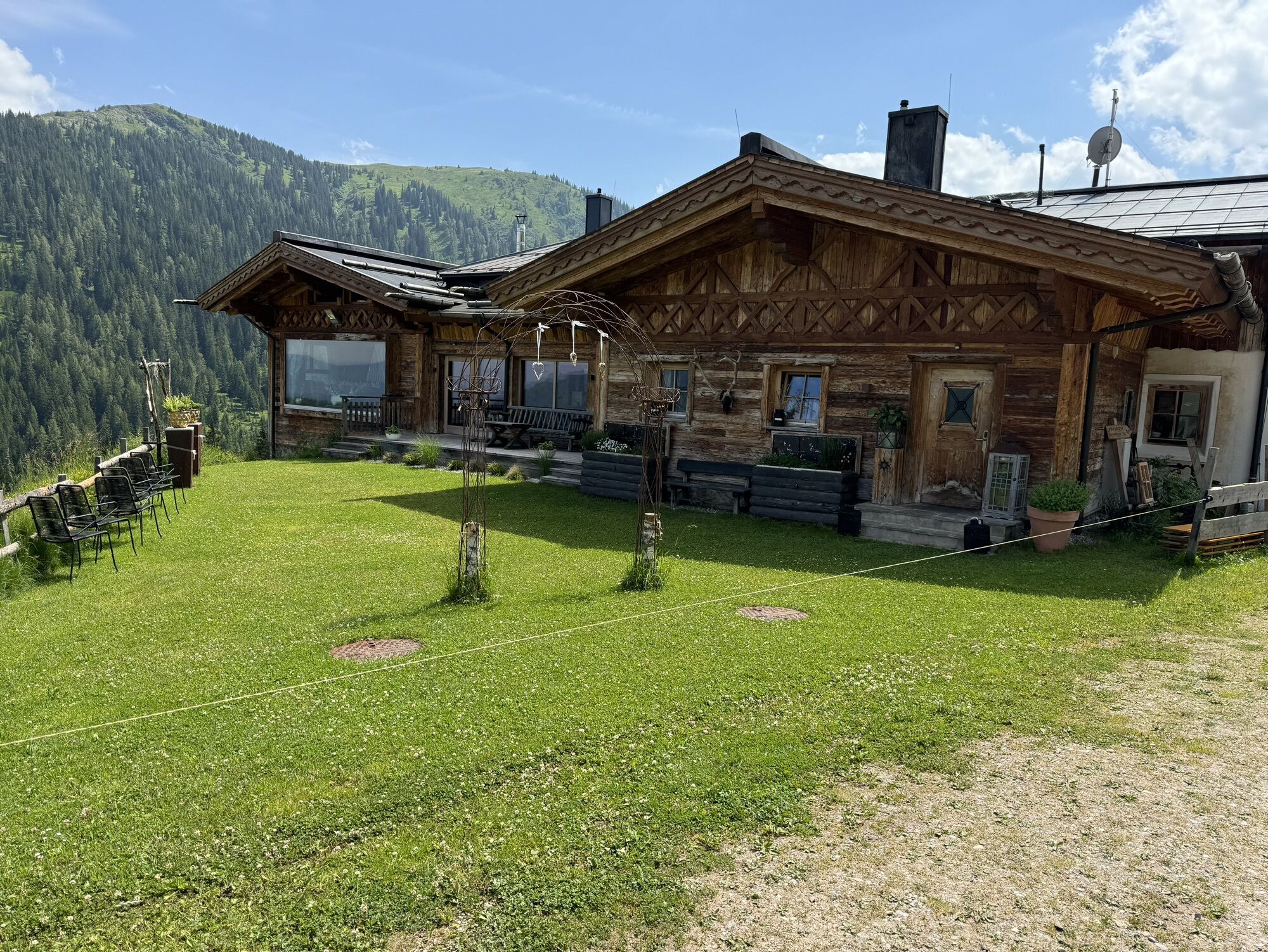
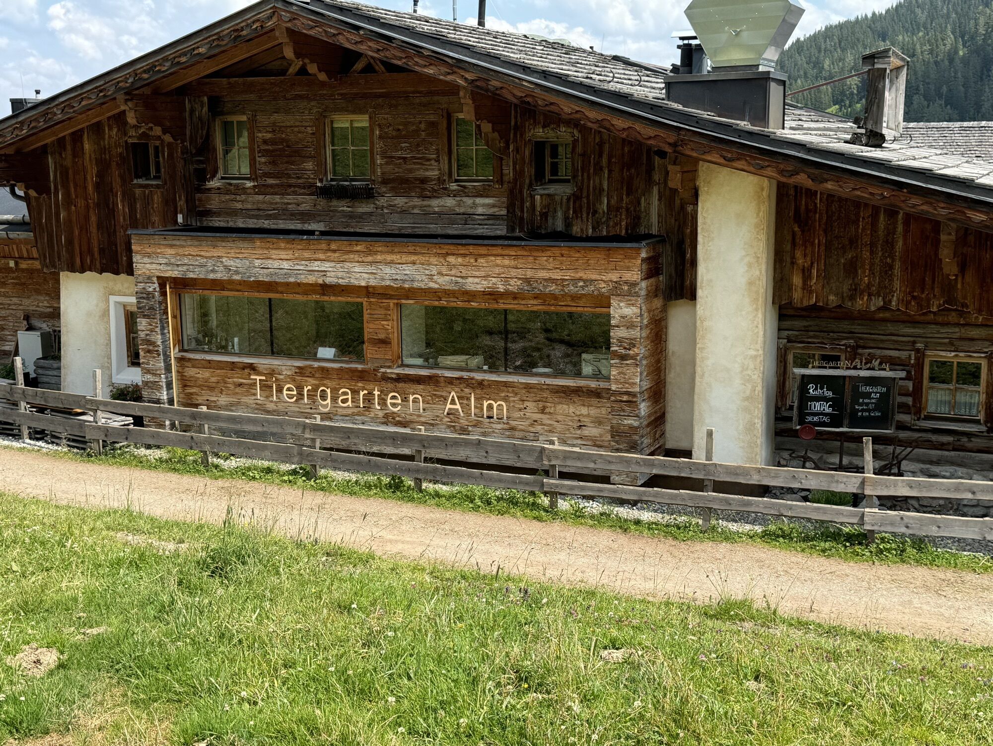
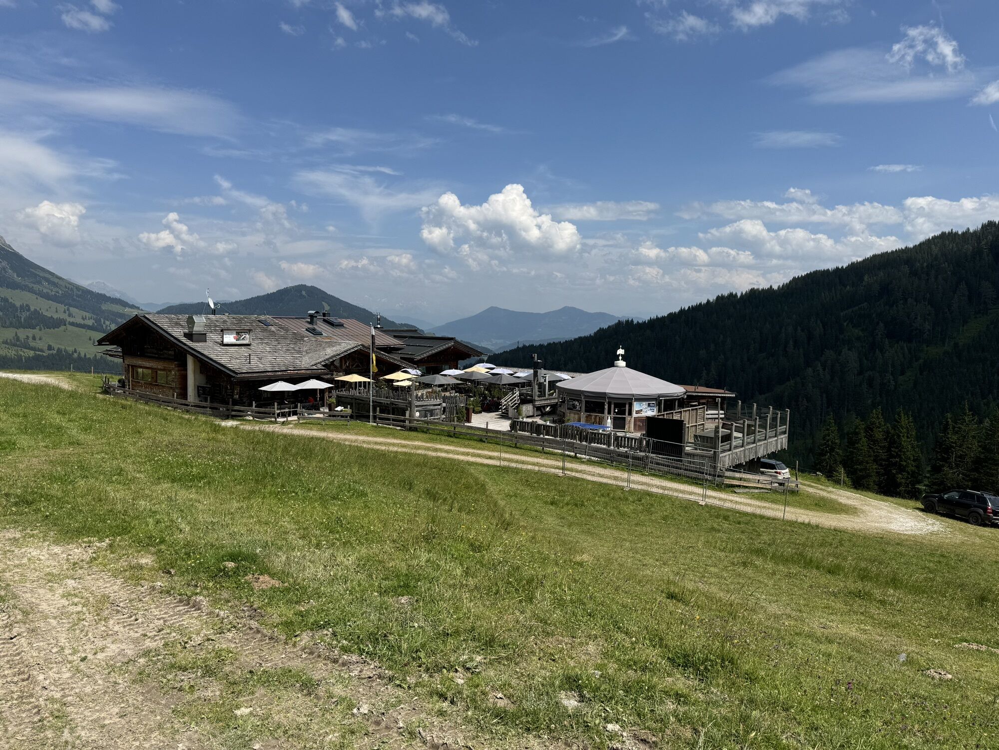

After a short descent, you reach the Dientner Sattel. From there, the path leads along the main road slightly uphill towards the Dientalm. Cross the road and continue your hike past the Dientalm. Follow...
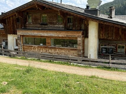
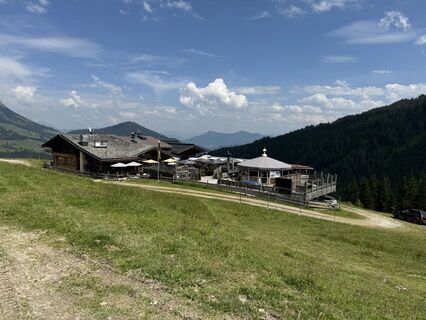
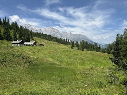
After a short descent, you reach the Dientner Sattel. From there, the path leads along the main road slightly uphill towards the Dientalm. Cross the road and continue your hike past the Dientalm. Follow a forest road to the Tiergartenalm, pass the Klinglbergalm and cross a forest to the ridge below the Schneebergkreuz. There you come to trail no. 15, which takes you over the ridge to the Schneebergkreuz and finally to the valley station of the Karbachalmbahn. On days when the cable car is in operation, you can shorten the descent and save an hour's walking time. Use the hiking bus for the return journey to Mühlbach.

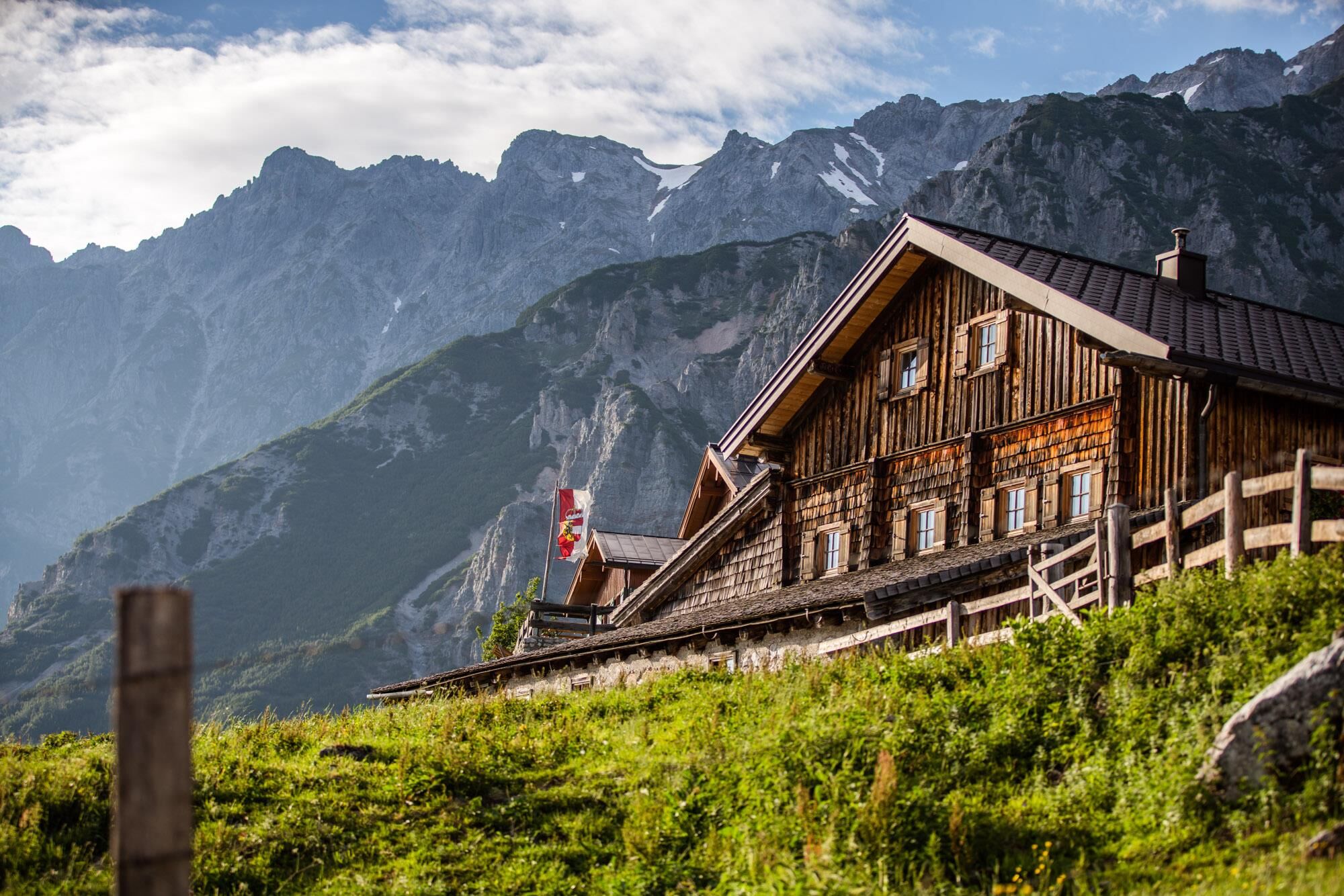

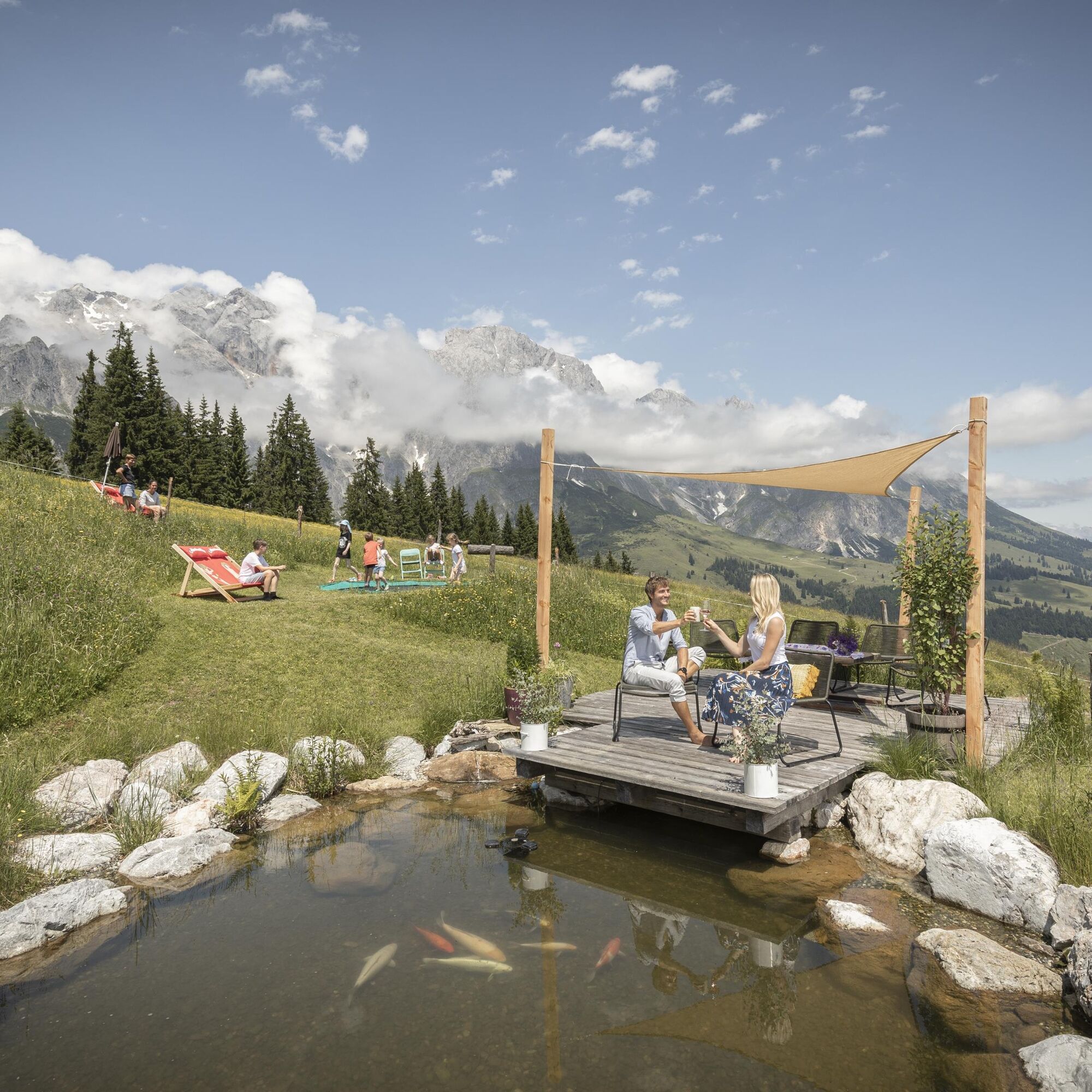
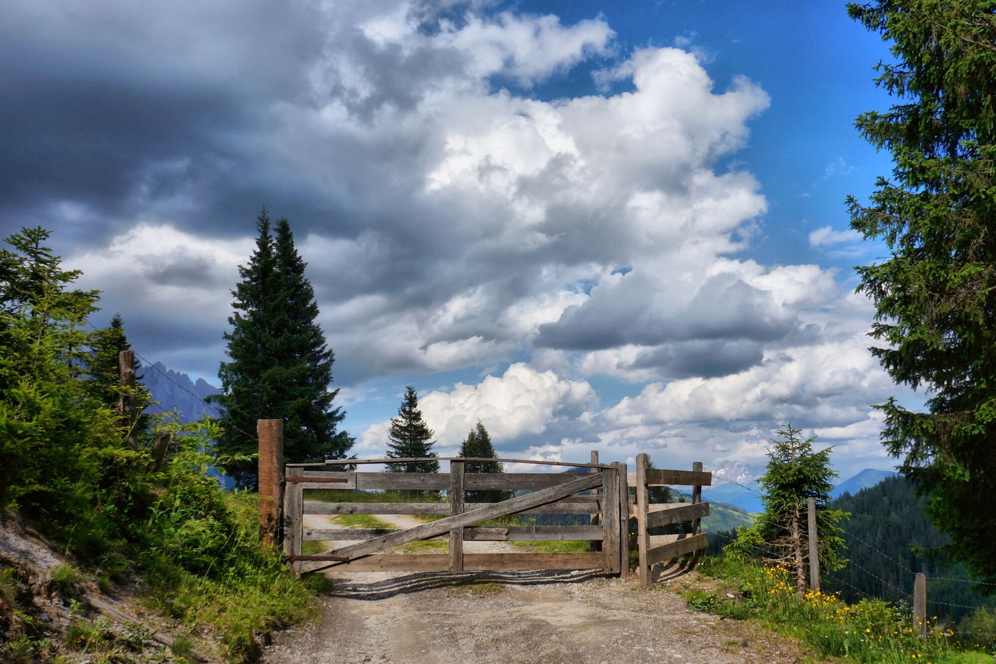
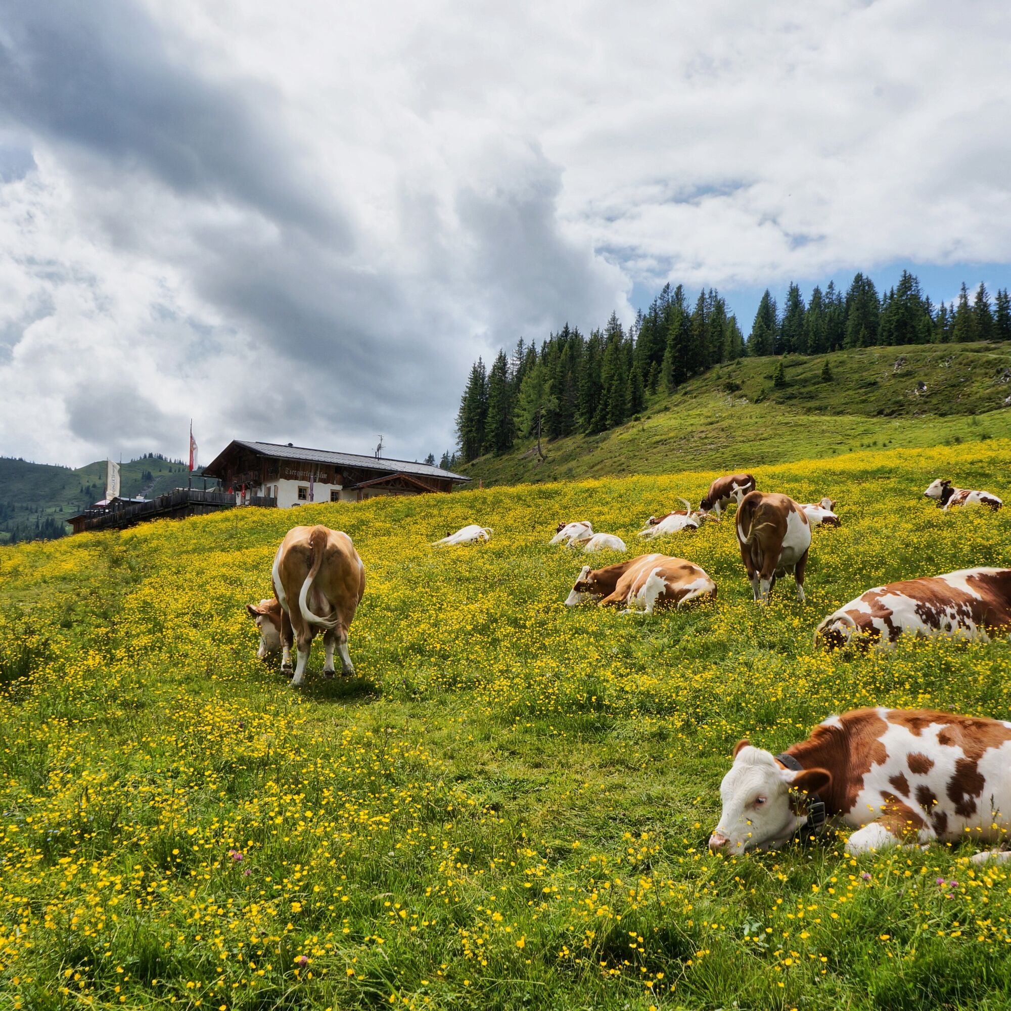
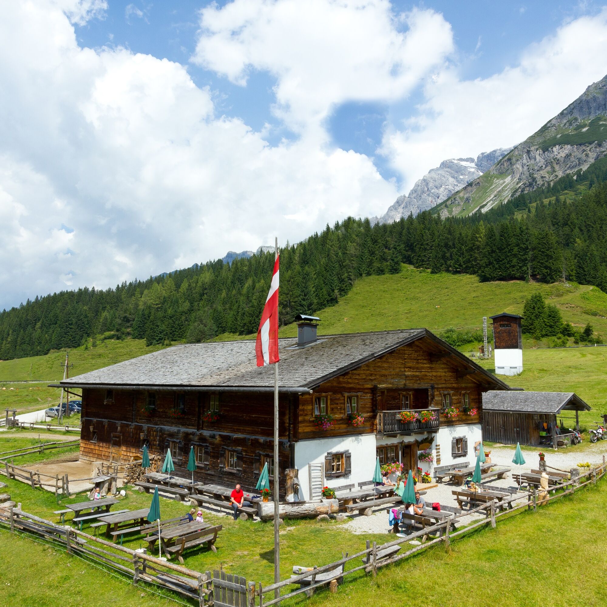
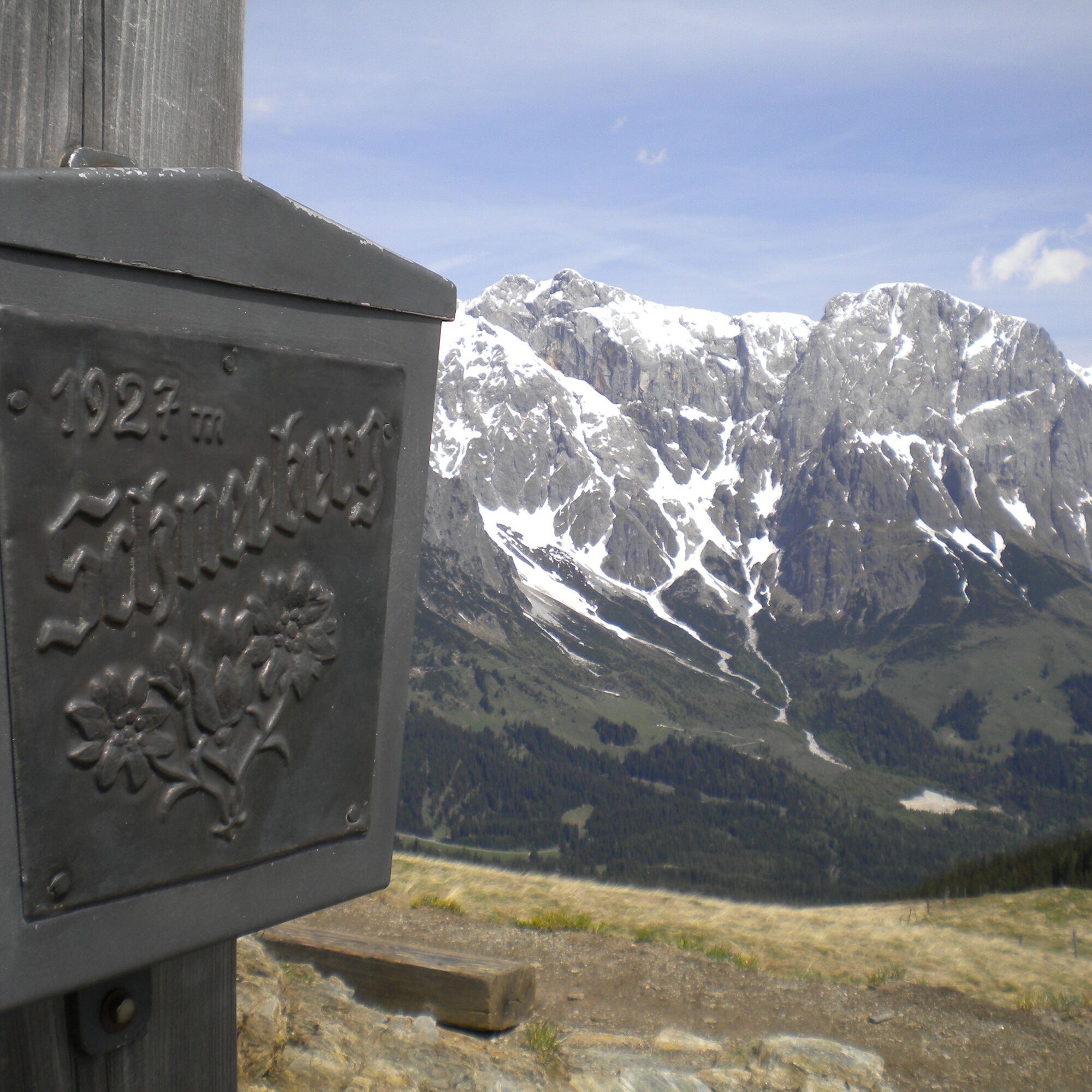

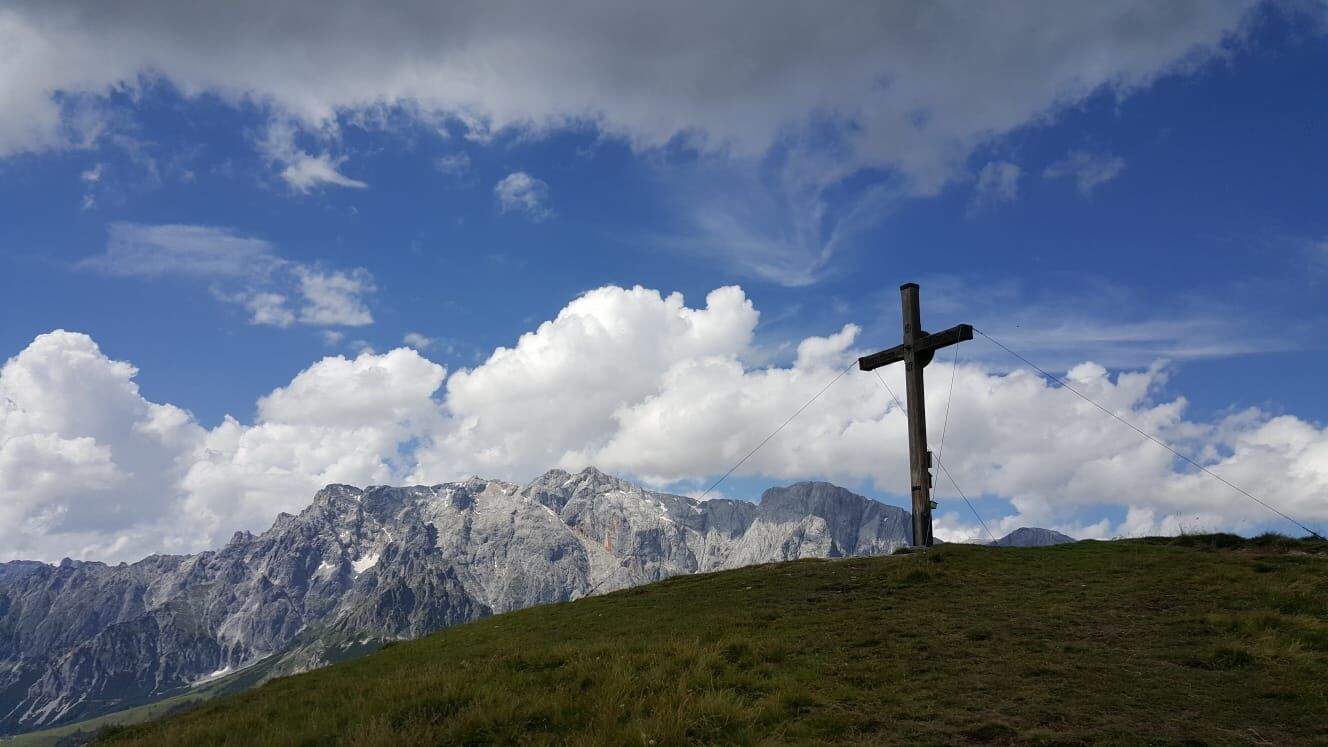
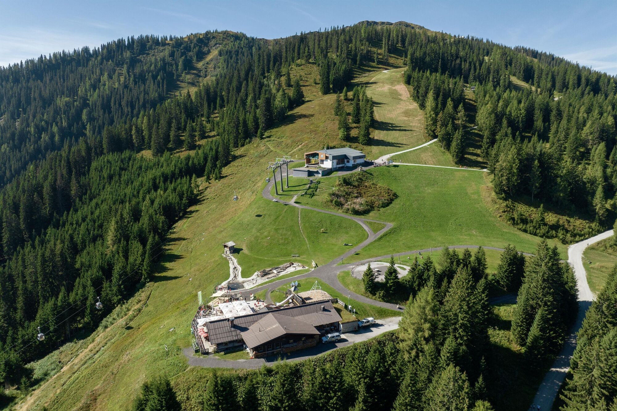
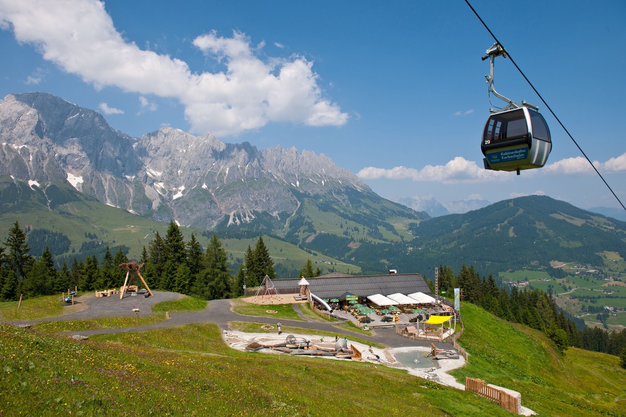
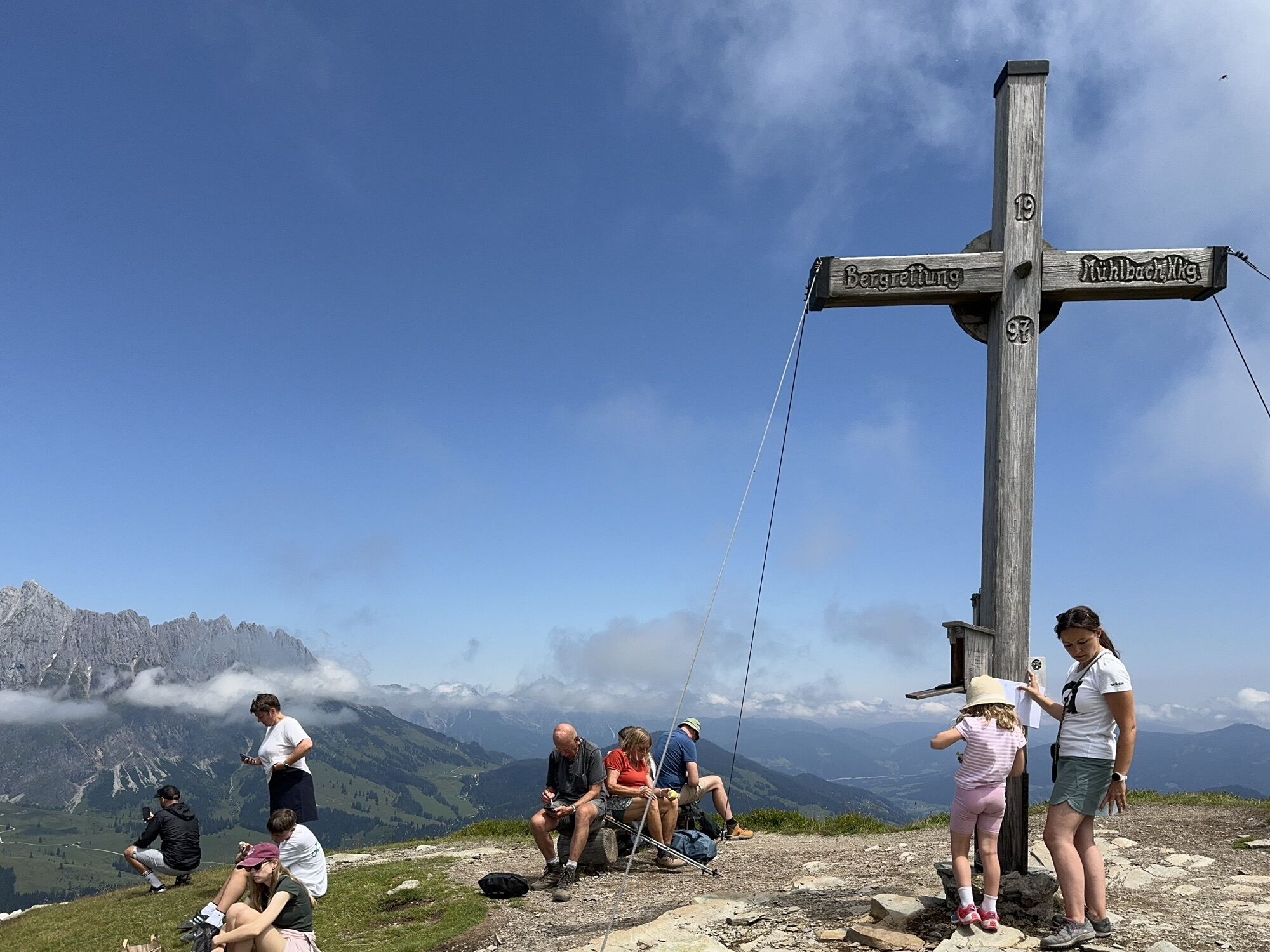
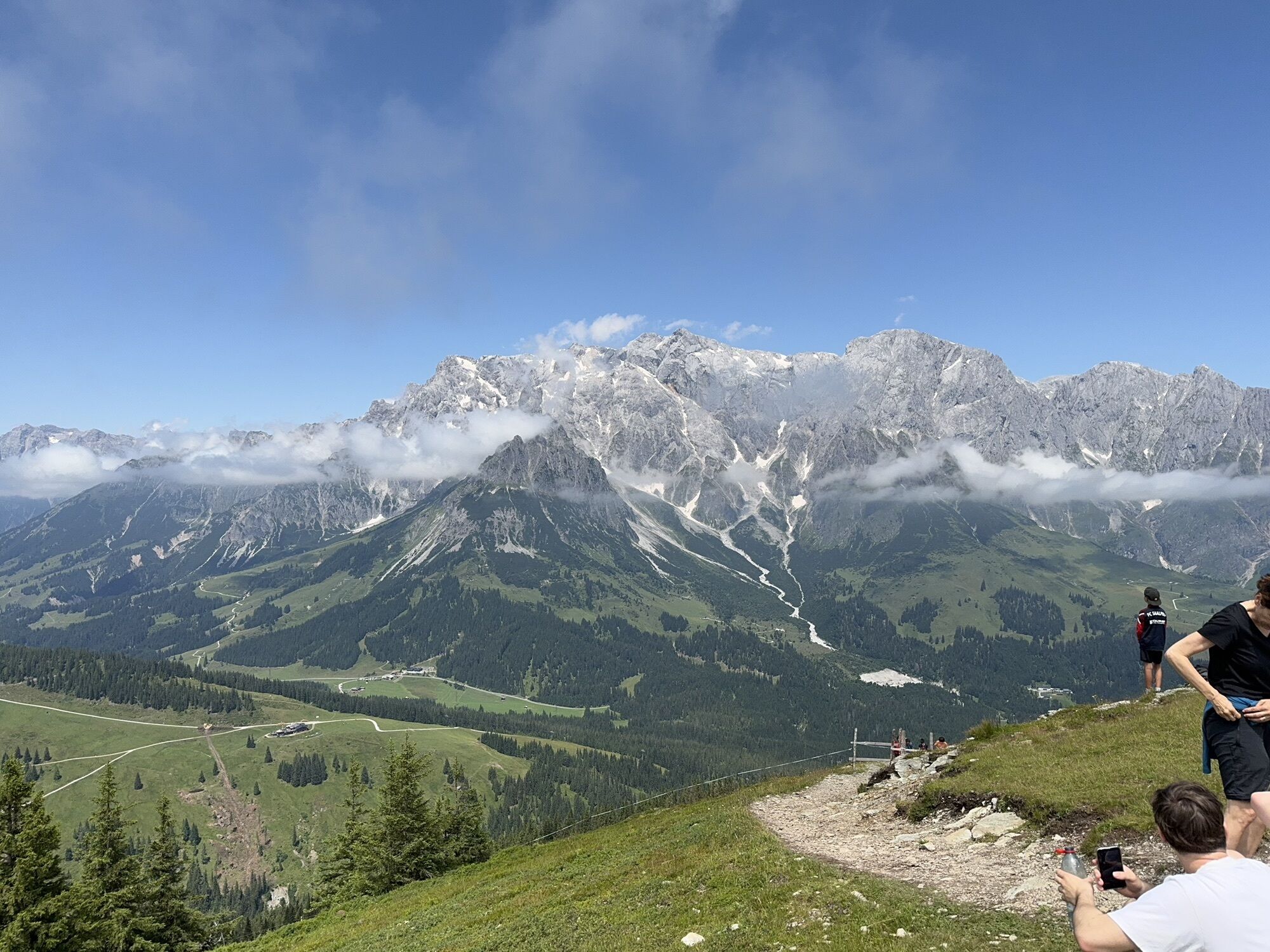
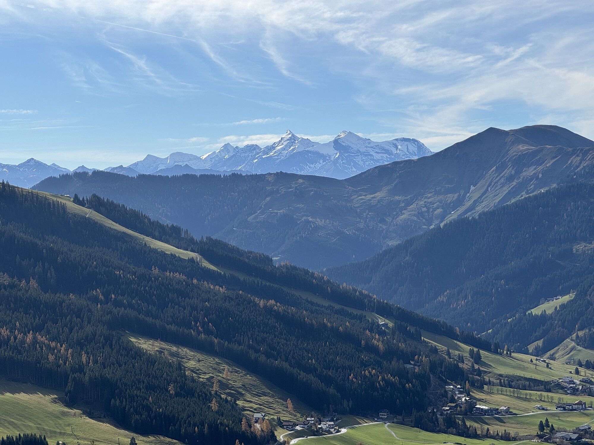
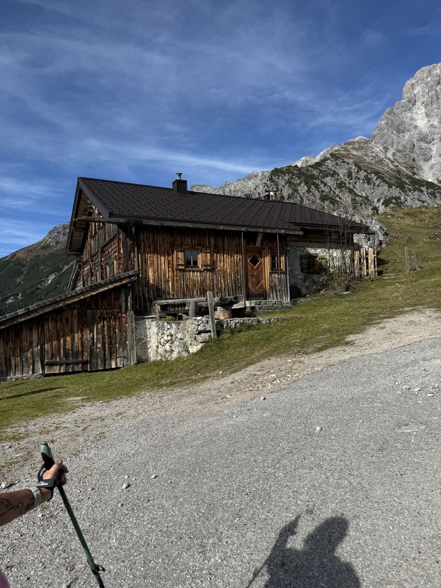
After a short descent along the marked trail no. 432, you reach the Hochkönig main road B164. Walk uphill a short distance to the Dientner Sattel. At this point, turn left and follow the picturesque hiking trail no. 75, which first takes you past the idyllic Dientalm. The trail continues with a more challenging ascent to the Tiergartenalm, where you can enjoy the impressive scenery. The wide cart track gradually becomes flatter and leads you on to the Klingelbergalm. After crossing a small stream behind the alpine hut, the ascent to the imposing Schneeberg summit begins. Hiking trail no. 15 winds its way through the forest and across alpine pastures, past the St. Veiter Schneeberg and finally to the Mühlbacher Schneeberg. After you have explored the summit region and perhaps taken the obligatory summit photo, you descend via trail no. 15 to the Karbachalm. There you can enjoy a cosy refreshment stop and continue to enjoy the impressive natural scenery. If you want to hike further down into the valley, follow the steep downhill hiking trail no. 15 to the valley station of the Karbachalmbahn cable car. Alternatively, you can choose the more comfortable route and take the Karbachalmbahn cable car down into the valley. The hiking bus is available for your return to the village. If you don't feel like crossing the summit today, there is an alternative: From the Dientalm, follow trail no. 77 in the direction of Mühlbach. At the next junction, take trail no. 78, which takes you through the picturesque high moor at the Dientner Sattel. The path finally leads onto a cart track, which takes you gently down the valley to the Scheppalalm and on to the valley station of the Karbachalmbahn cable car. This allows you to experience the impressive mountain landscape without having to cross the summit.
Yes
Sturdy, ankle-high footwear
Walking sticks
Headgear
Sun protection
Sunglasses
Rain protectin
Drinks and a snack
Necessary medication
First aid kit
Hiking map
Self-assessment: Check your physical fitness before every mountain tour and correctly assess your strength as well as that of your companions - especially those of your children! Surefootedness and a head for heights are often very important!
Planning and preparation: Plan each intended mountain tour in detail beforehand. Hiking maps and guides as well as information from alpine associations and local experts such as mountain guides and mountain hut keepers can be helpful.
Equipment: On the mountain, you will need appropriate equipment and clothing, especially sturdy, high shoes with good grip soles. Weather and cold protection are essential, as the weather can often change unexpectedly.
Weather forecasts: Take note of the current weather conditions at: www.zamg.at
Together: Follow the 10 rules for the correct handling of grazing animals and do not leave any waste in nature!
Do not kick stones: Do not kick stones as this can seriously endanger other hikers. Marked places with a danger of falling rocks should be crossed as quickly as possible and with attention and caution.
Turn back in good time: This is not a disgrace, but a sign of common sense. It becomes necessary when the weather changes, fog rolls in, and also when the path is too difficult or not in good condition.
Emergency numbers: Alpine emergency call: 140, International emergency call: 112, Rescue: 144
Coming from Salzburg: Take the A10 freeway to the Bischofshofen exit, then take the B311 in the direction of Bischofshofen. Follow the Hochkönig Bundesstraße/B164 to Mühlbach.
Coming from Innsbruck/ Kufstein: On the Loferer Straße/B178 in the direction of St. Johann i.T., then on the Hochkönig Bundesstraße/B164 via Saalfelden and Maria Alm to Mühlbach.
A valid vignette is required to use the Austrian motorway and motorway network. It is also compulsory to carry a first-aid kit, warning triangle and high-visibility waistcoat. Further information can be found under Asfinag.
ÖBB-Scotty: Timetable information
Bus line 590: Timetable information
Hiking bus: Timetable information
Free car park Erichhütte
Further information on hikes and activities in the Hochkönig region:
For detailed information about hiking maps, the opening hours of the cable cars and the huts and mountain pastures in summer, we recommend you visit the local service centre. There you will not only receive the hiking map, but also valuable tips on the best hiking routes and current conditions.
Opening hours of the mountain lifts in summer: The mountain lifts offer different opening hours during the summer months, which can vary depending on the weather and season. Please check the current operating times in advance.
Opening hours of huts & mountain huts in summer: The huts and mountain huts in the region are ideal rest stops for hikers. Here, too, opening hours may vary depending on the season and day of the week. Ask the friendly hosts for advice about the offers and specialities on site.
For more information, please visit our website: www.hochkoenig.at.
If you have any questions or require specific information, please do not hesitate to contact us:
- E-mail: region@hochkoenig.at
- Telephone: +43 (0)6584 20388
We look forward to helping you and hope you enjoy exploring the beautiful Hochkönig hiking region!
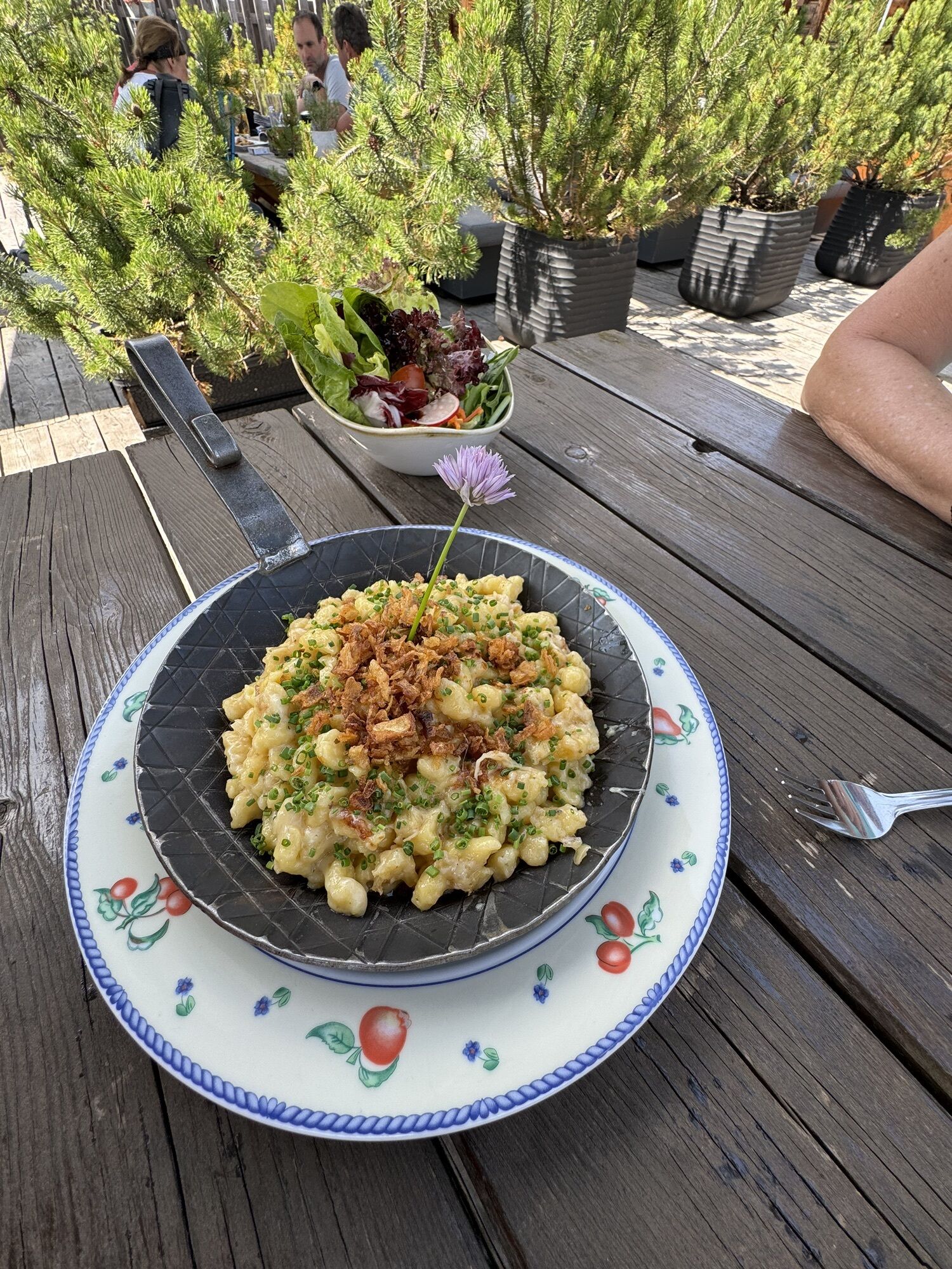
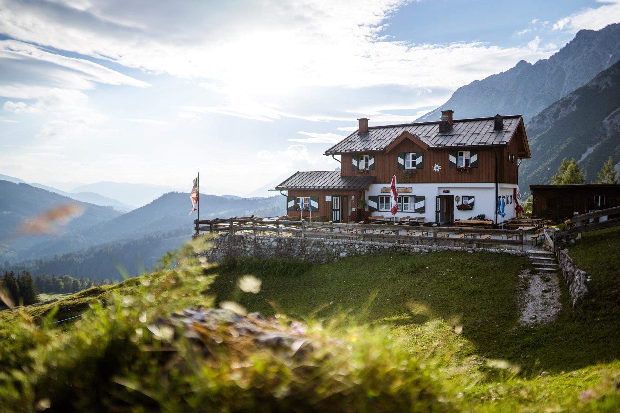
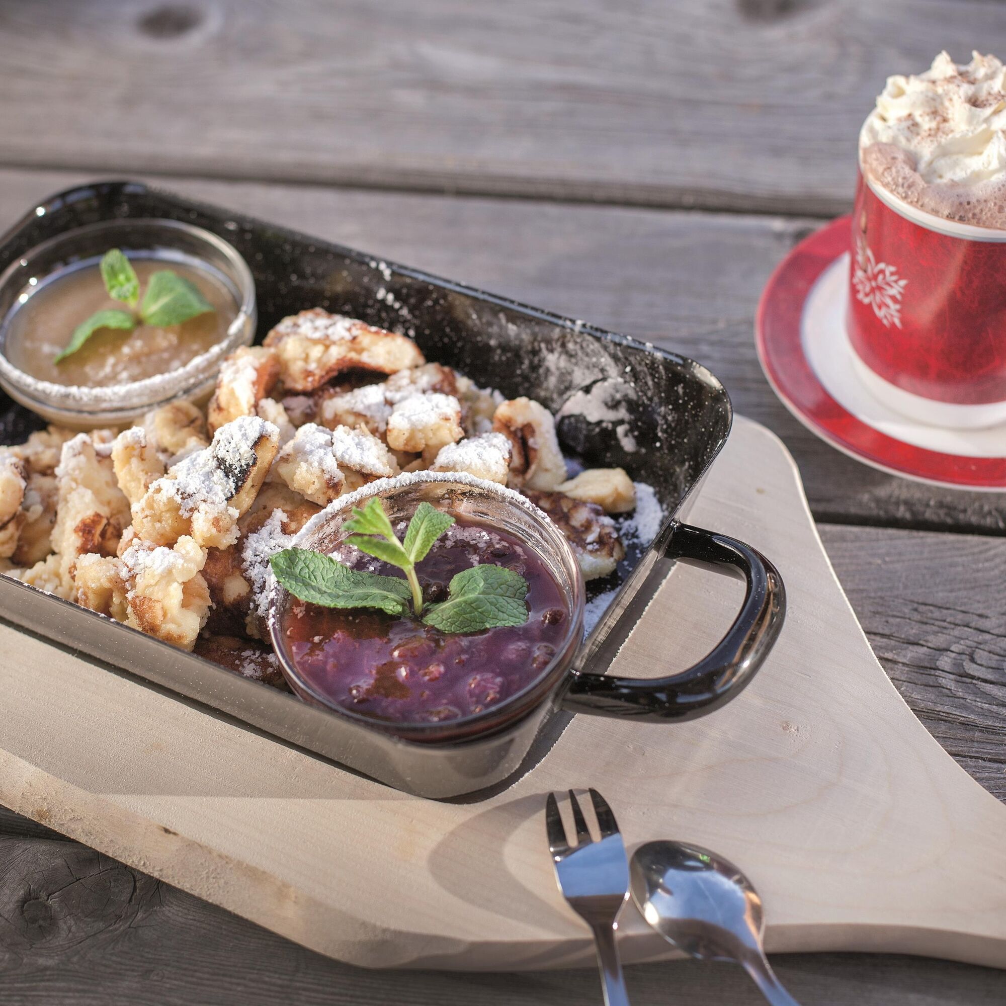
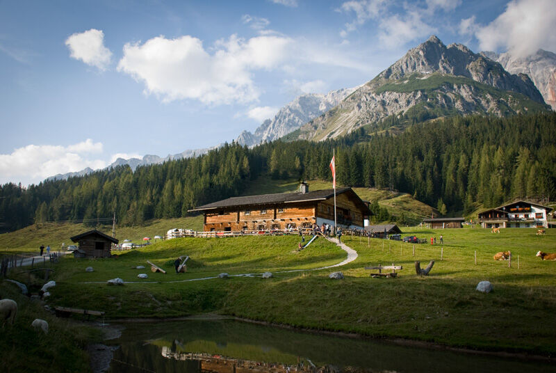
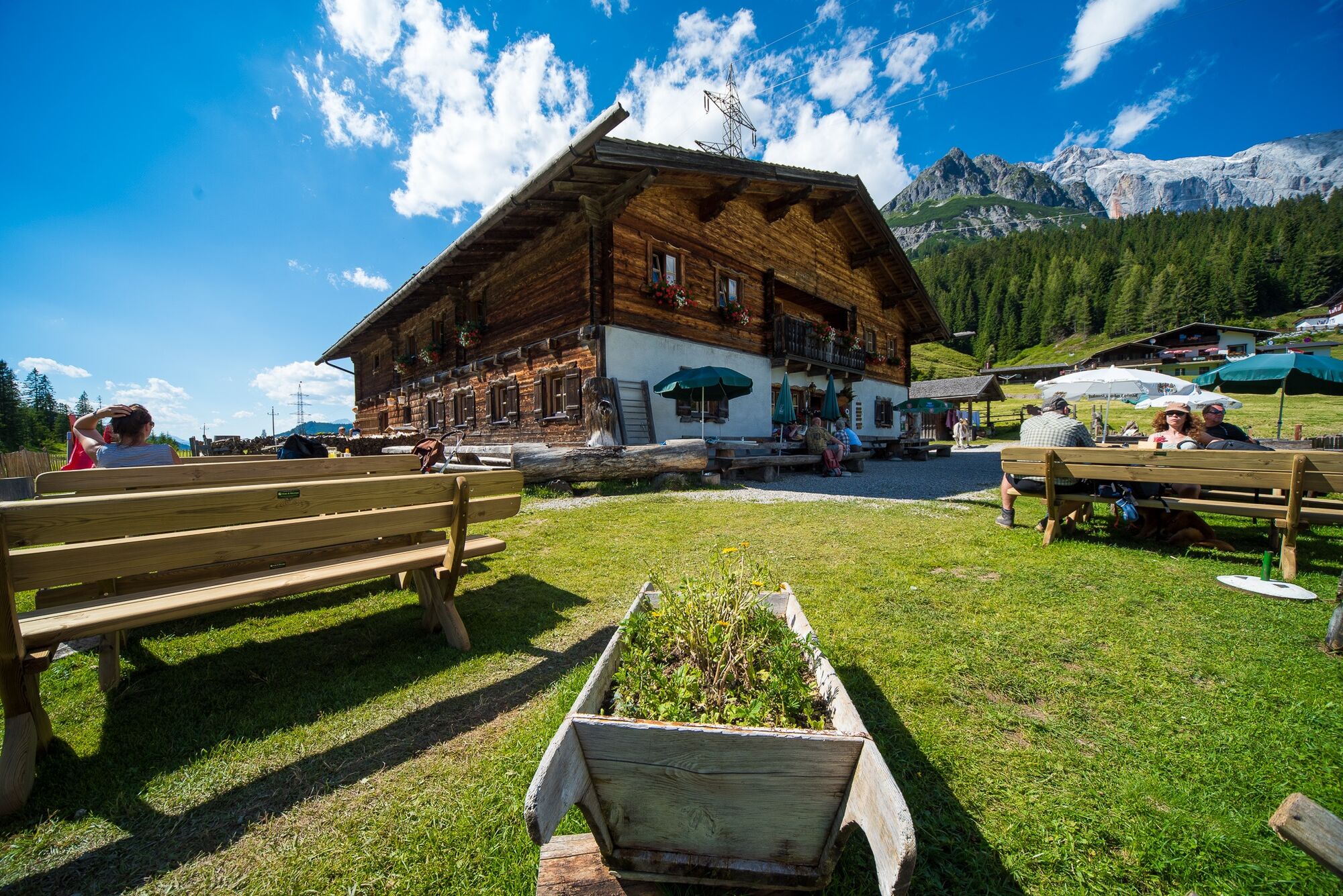
Savour the culinary delicacies of the Dientalm and Tiergartenalm herb pastures.
Webcams of the tour
-
Mühlbach am Hochkönig
-
Maria Alm - Hochmaisbahn
-
Mühlbach am Hochkönig
-
Bergstation Kings Cab
-
Matrashaus am Hochkönig
-
Grünegg Alm & Edelbrennerei
-
Dienten - Übergossene Alm Resort
-
Dienten - Almsee
-
Dienten - Übergossene Alm Resort
-
Bergstation Kings Cab
-
Bergstation Kings Cab
-
Bergstation Kings Cab
-
Bergstation Kings Cab
-
Bergstation Kings Cab
-
Bergstation Kings Cab
-
Bergstation Kings Cab
Popular tours in the neighbourhood
-
4,8
Summit storming route Taghaube
heavyPješačenje 6,25 km -
4,9
Hochkönig - Gipfel der Gefühle - Matrashaus
heavyPješačenje 20,9 km -
3,8
Hochkönig summit route - main ascent
heavyPješačenje 18,1 km -
4,7
Panorama hike to the Hochkeil
mediumPješačenje 6,07 km -
4,8
Summit stormer route Lauskopf
heavyPješačenje 8,16 km -
3,6
Wanderung zur Ostpreußenhütte in Werfen (1.630 m)
mediumPješačenje 11,2 km -
4,7
About the "Four Huts circular route" to Windraucheggalm
mediumPješačenje 10,1 km -
3,7
Auf die Ostpreussenhütte
mediumPješačenje 16,6 km -
4,4
Riemannhaus
heavyPješačenje 3,69 km -
3,9
Mühlbacher Höhenweg
mediumPješačenje 11,2 km
bergfex Tours


Ne propustite ponude i inspiraciju za vaš sljedeći odmor
Your e-mail address has been added to the mailing list.