


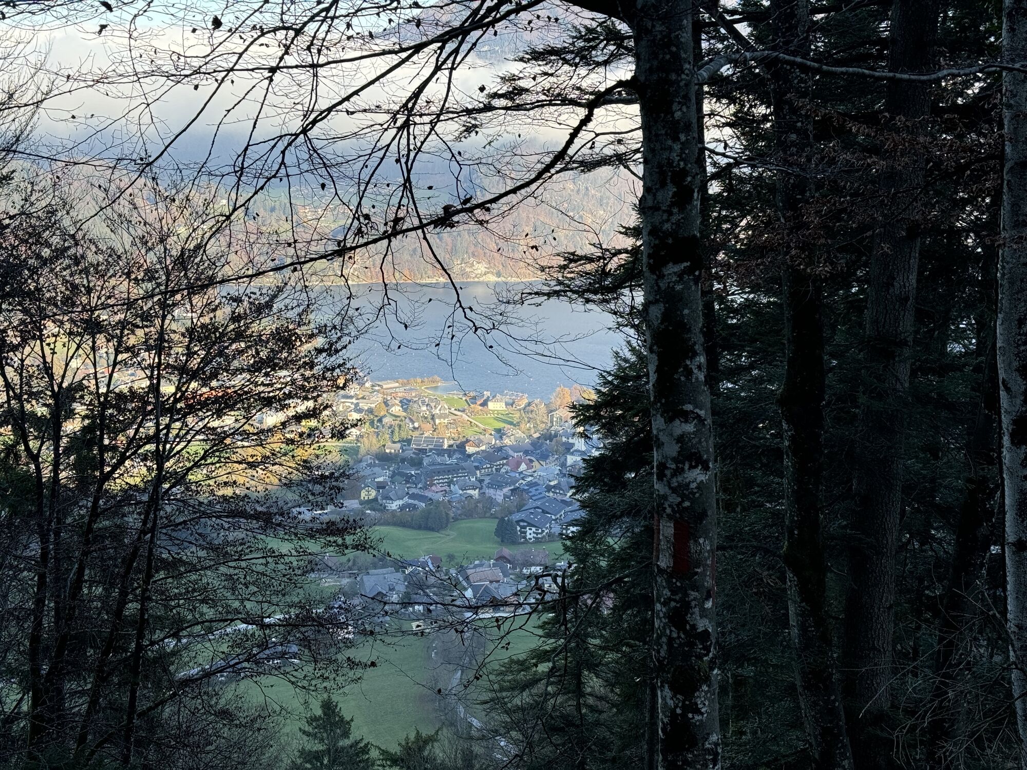
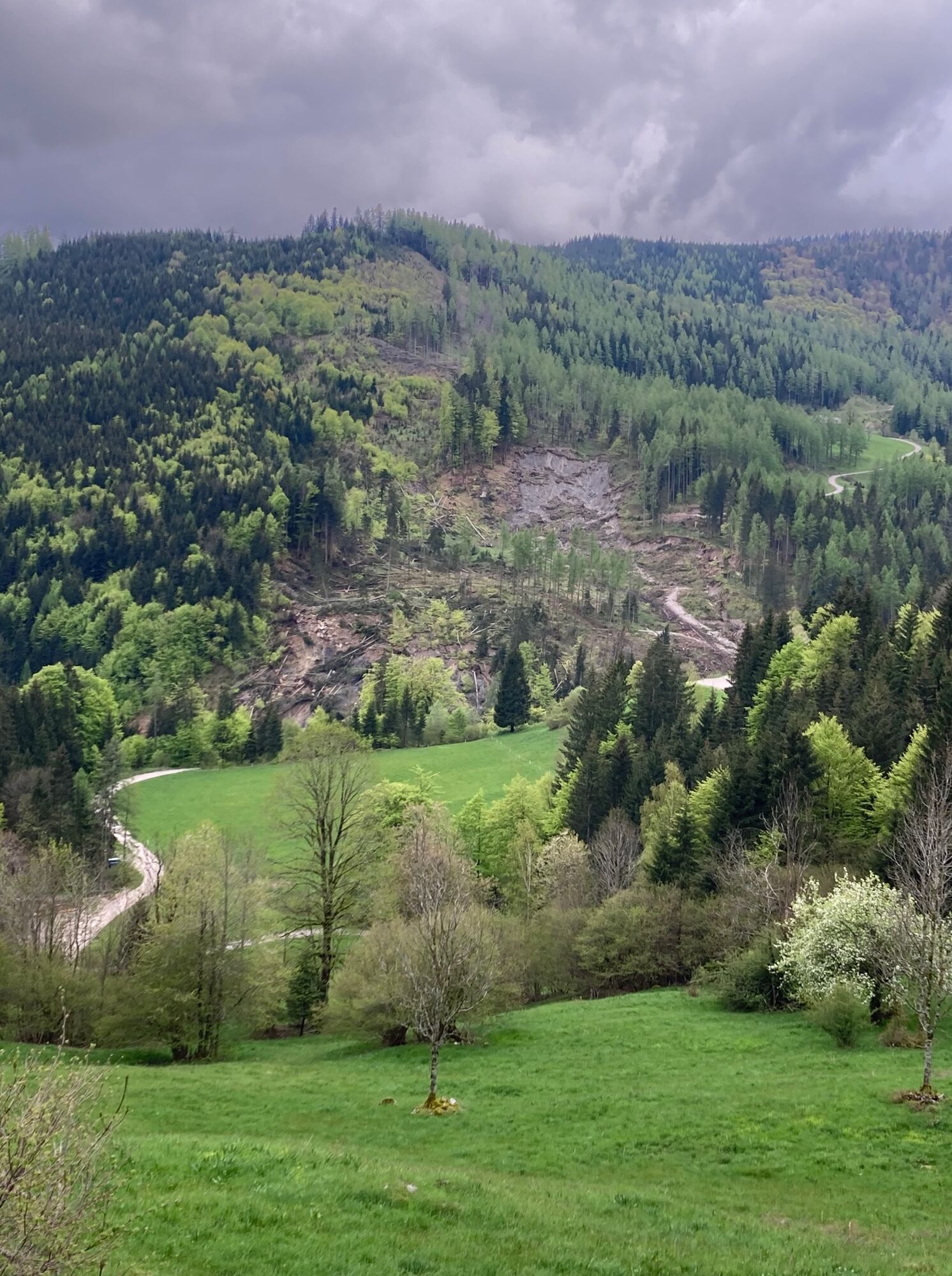
Von Abersee aus hinauf in Richtung Breitenberg und weiter über die Gschaidalm und Brennwaldalm durch den Langgschwendtwald nach Hintersee. Im Tal weiter nach Vordersee, Ramsau und in die Tiefbrunnau. Von...
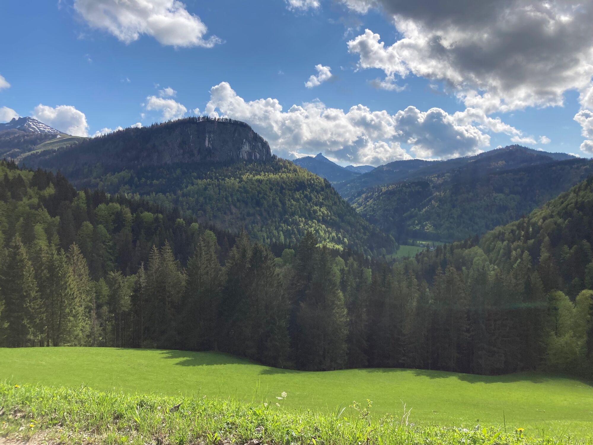
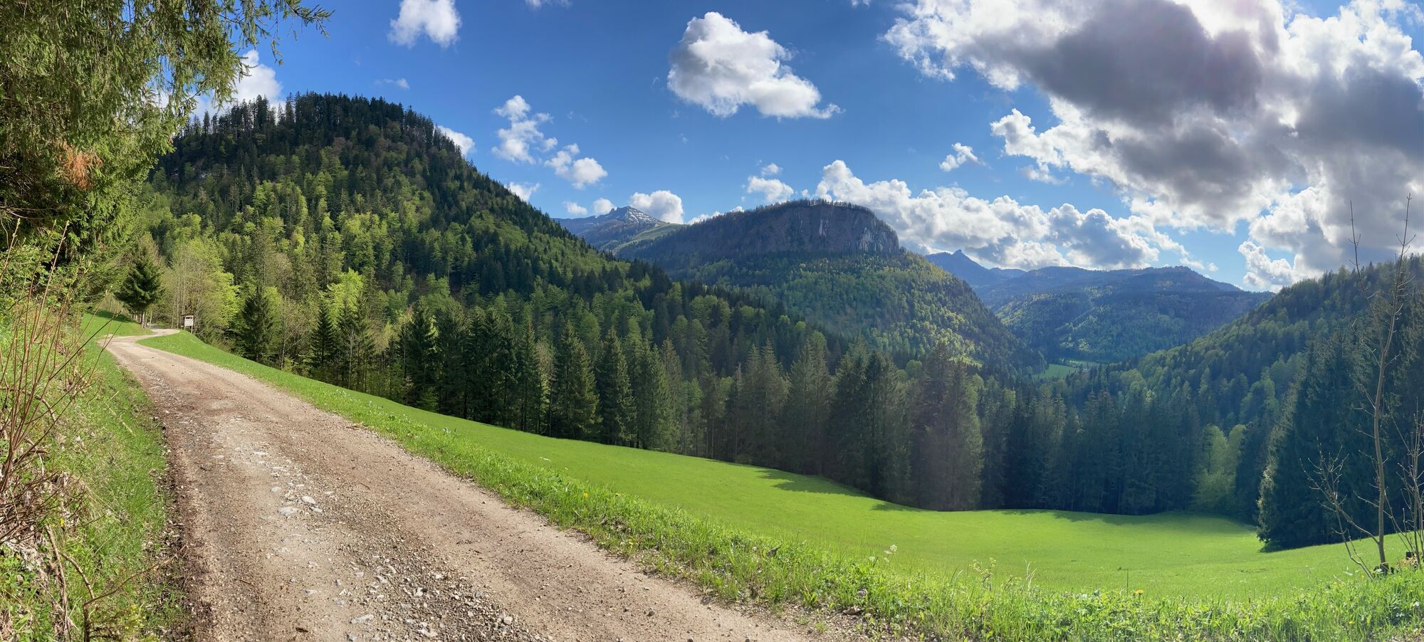
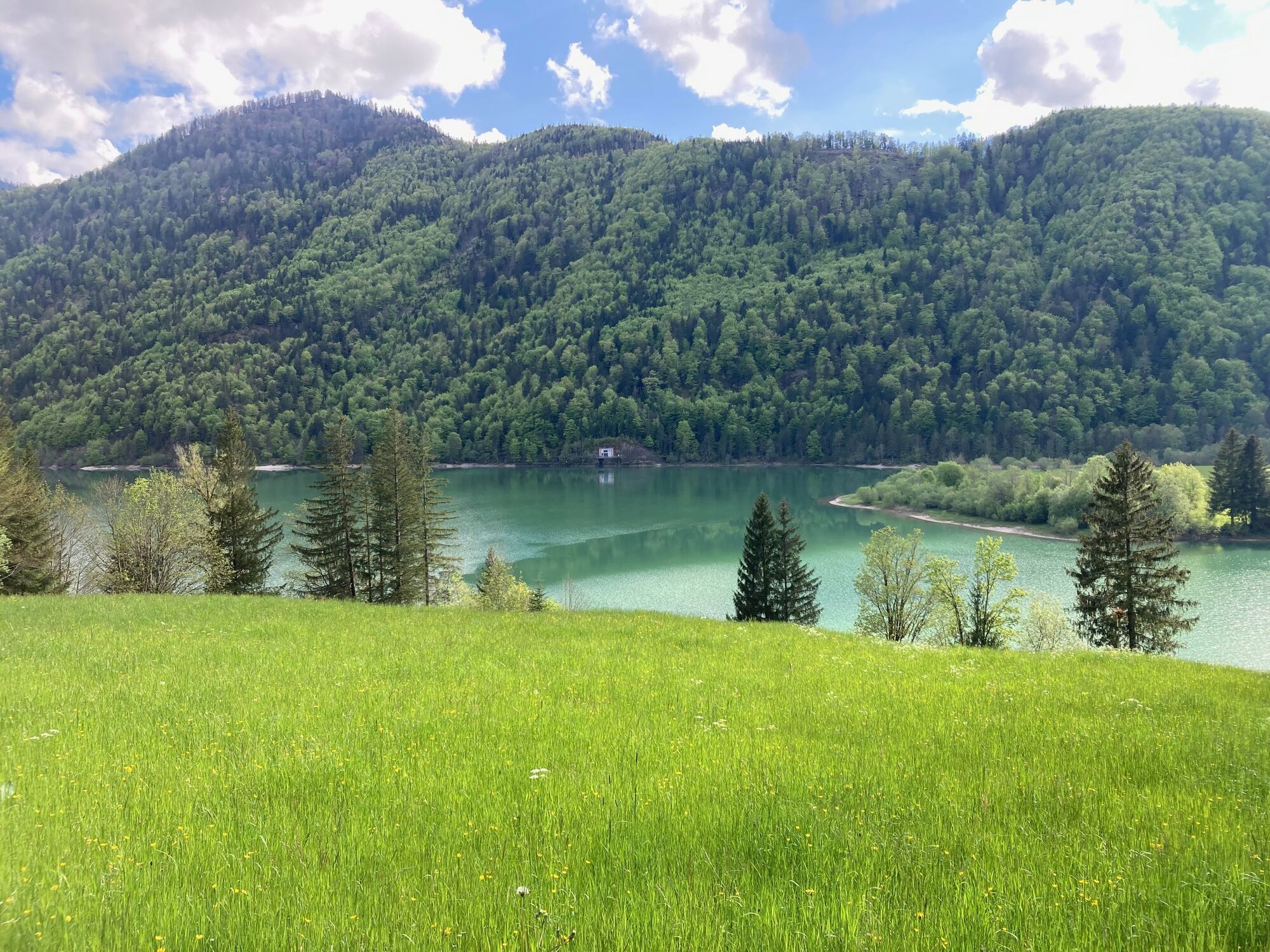
Von Abersee aus hinauf in Richtung Breitenberg und weiter über die Gschaidalm und Brennwaldalm durch den Langgschwendtwald nach Hintersee. Im Tal weiter nach Vordersee, Ramsau und in die Tiefbrunnau. Von dort geht es über die Sausteigalm hinunter über einen groben steilen Trail zur Farchbachalm und über einen Trail retour nach Abersee.

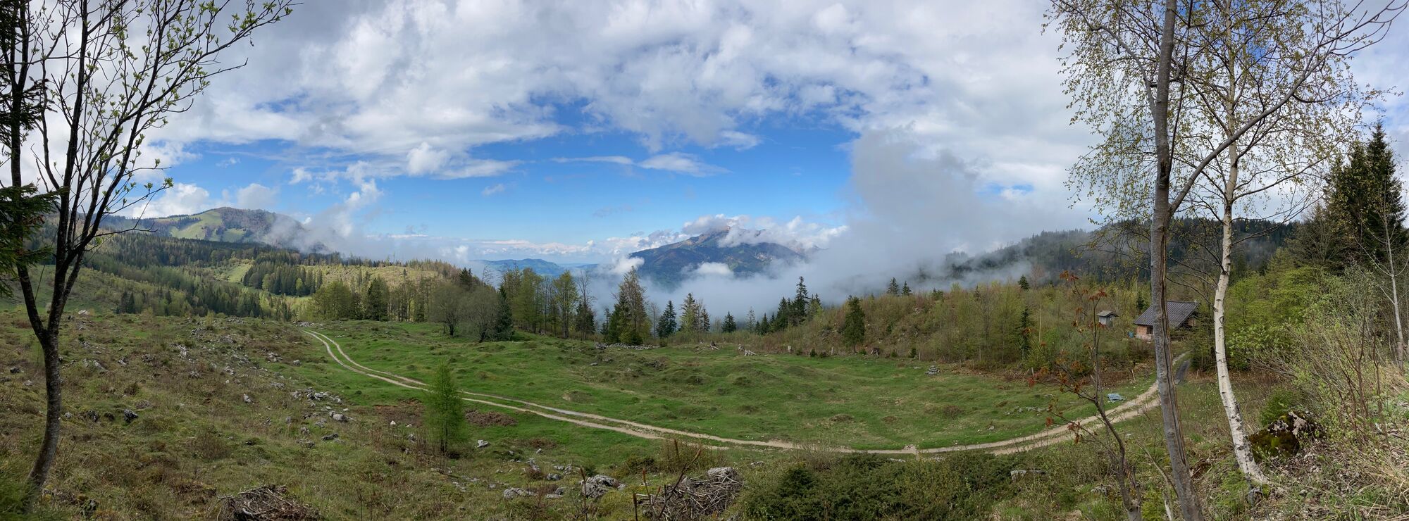
Zurück kann man auch über Fuschl und St. Gilgen fahren.
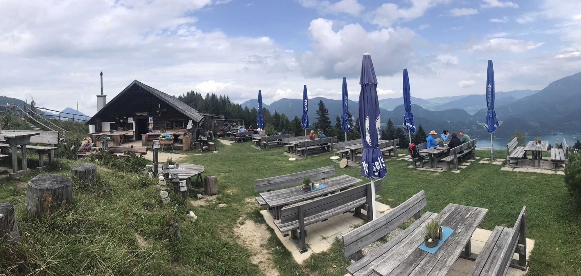
"Gasthof Hintersee"
Yes
Schotterparkplatz mit begrenzten Plätzen bei der Einfahrt zum Zinkenbach gegenüber der Fa. "HOLZFORM"
2/6
4/6
Webcams of the tour
-
St Gilgen Mozartplatz
-
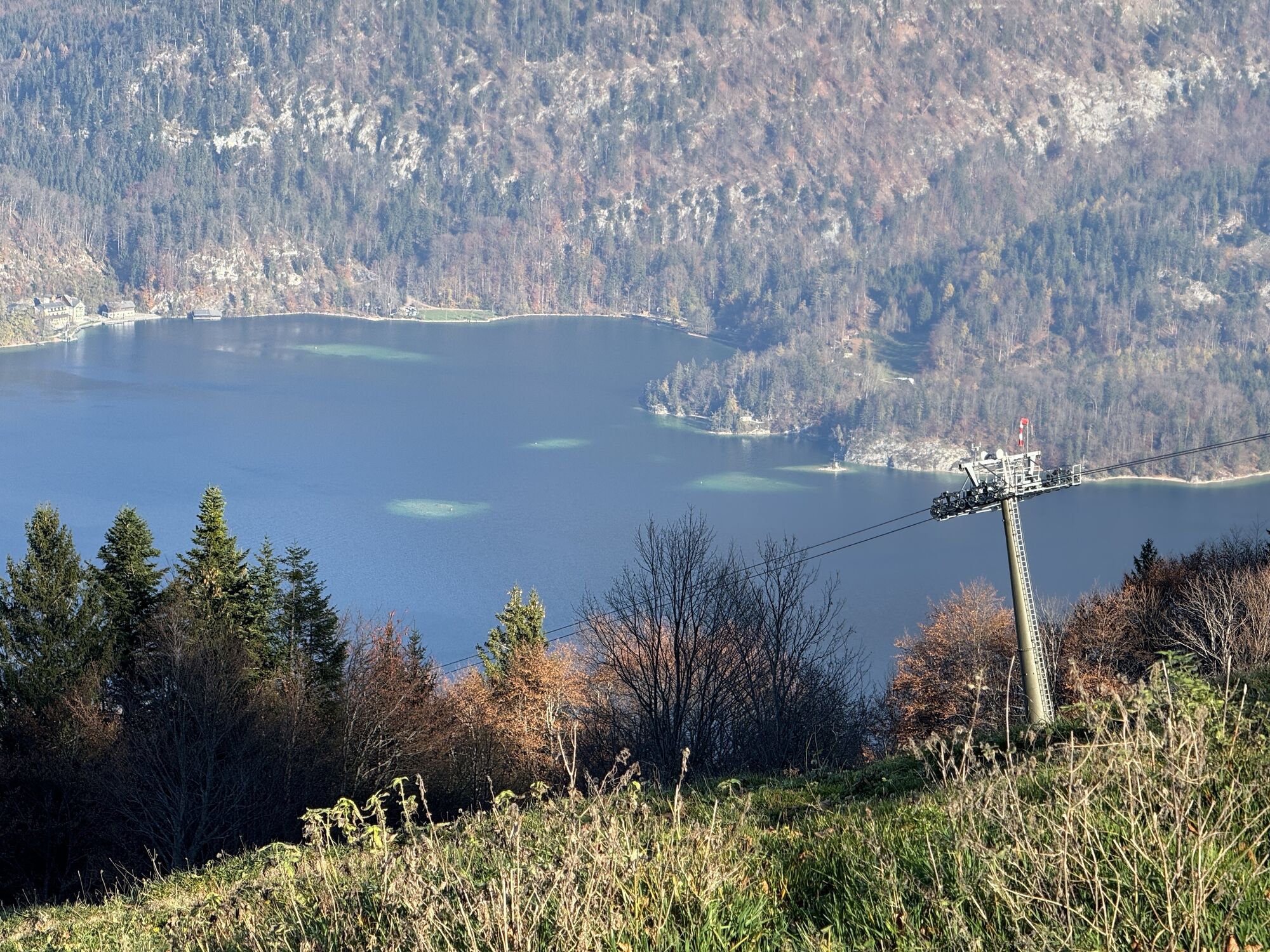
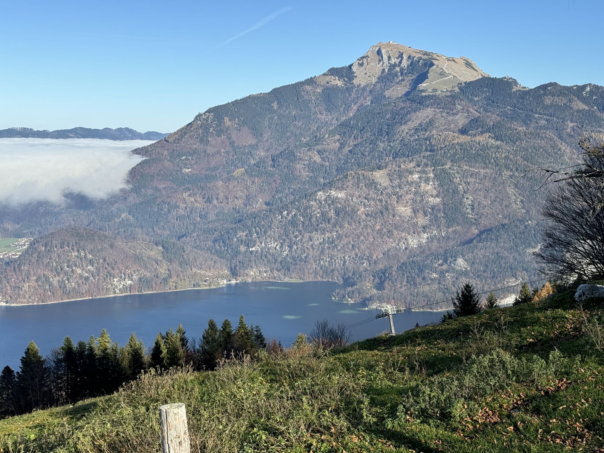
Hintersee
-
Schafbergbahn - Wolfgangsee
-
Faistenau
-
Fuschlseeregion - Fuschl
-
Latschenalm
-
Spielbergalm
-
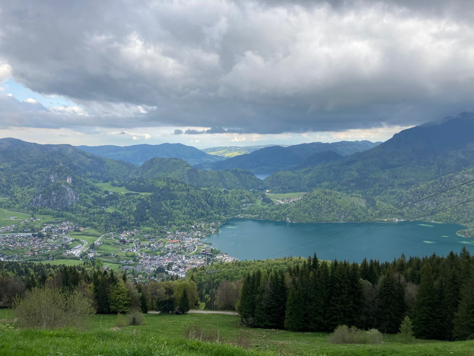
Sankt Gilgen
-
Sankt Gilgen - Zwölferhorn
-
Fuschl am See / Hotel Jakob
-
Bleckwandhütte
-
St. Wolfgang am Wolfgangsee - Hotel im Weissen Rössl
-
Seecamping Appesbach
-
Fuschlseeregion - Hintersee
-
Schafbergalm
Popular tours in the neighbourhood
-
4,2
Idyllic Hintersee Rund
lightPješačenje 5,10 km -
4,8
Schober -Aussichtsplattform mit Seensicht
heavyPješačenje 2,65 km -
4,9
Eisenaualm
mediumMountainbike 37 km -
4,8
Schafberg
mediumPuna brzina 16,7 km -
4,1
Illinger Alm-Runde
mediumPješačenje 9,89 km -
4,6
Schafberg
mediumPješačenje 6,85 km -
4,6
/\ Sparber
heavyPješačenje 6,82 km -
4,6
Almkogel Rundwanderung Salzburg
lightPješačenje 9,60 km -
4,3
Schafberg von Sankt Wolfgang über die Dorneralm und Schafbergalpe auf die Schafbergspitze
mediumPješačenje 7,72 km -
4,5
Zwölferhorn
mediumPješačenje 8,64 km
bergfex Tours


Ne propustite ponude i inspiraciju za vaš sljedeći odmor
Your e-mail address has been added to the mailing list.