Elsbethen - Gasthaus "DieRamsau" - Perweinkapelle - Schwarzenbergkapelle
medium
Navigate
Navigate
Get this tour on your mobile
Elsbethen - Gasthaus "DieRamsau" - Perweinkapelle - Schwarzenbergkapelle
medium
Mountainbike
62,59
km
Scan the QR code and start navigation in the bergfex app

Hiking & Tracking


Distance
62,59
km
Duration
04:05
h
Ascent
883
m
Sea level
419 -
817
m
Track download
Elsbethen - Gasthaus "DieRamsau" - Perweinkapelle - Schwarzenbergkapelle
medium
Mountainbike
62,59
km


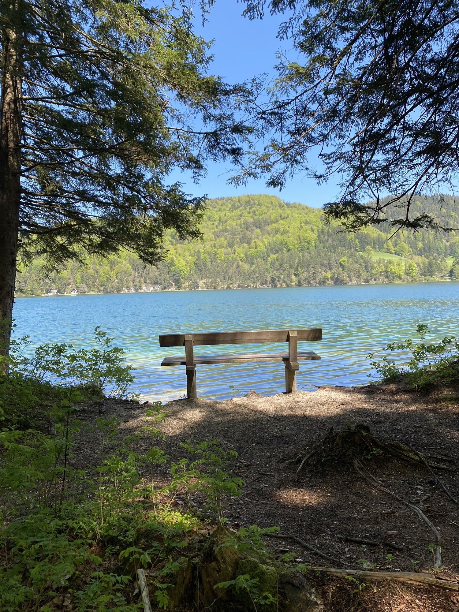
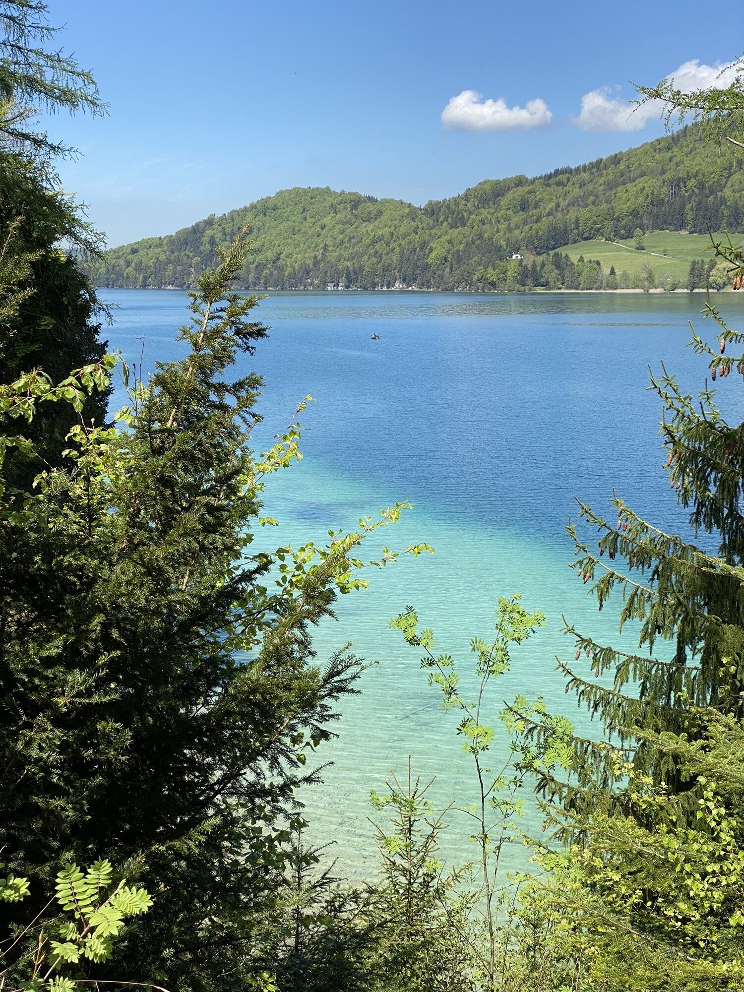
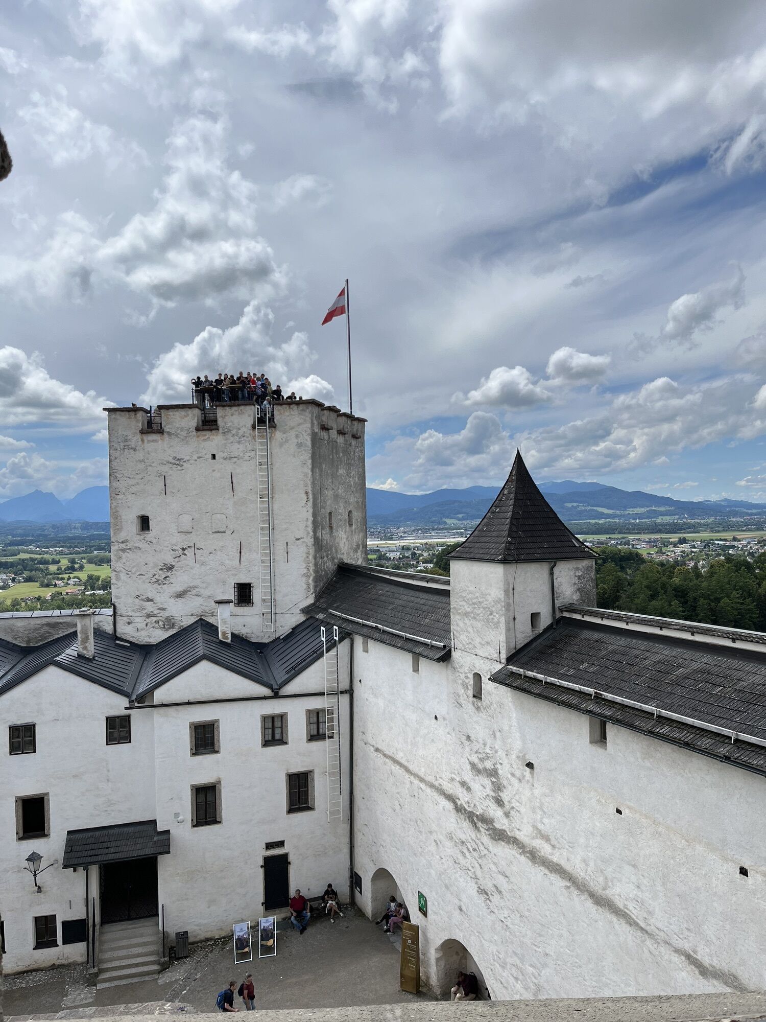
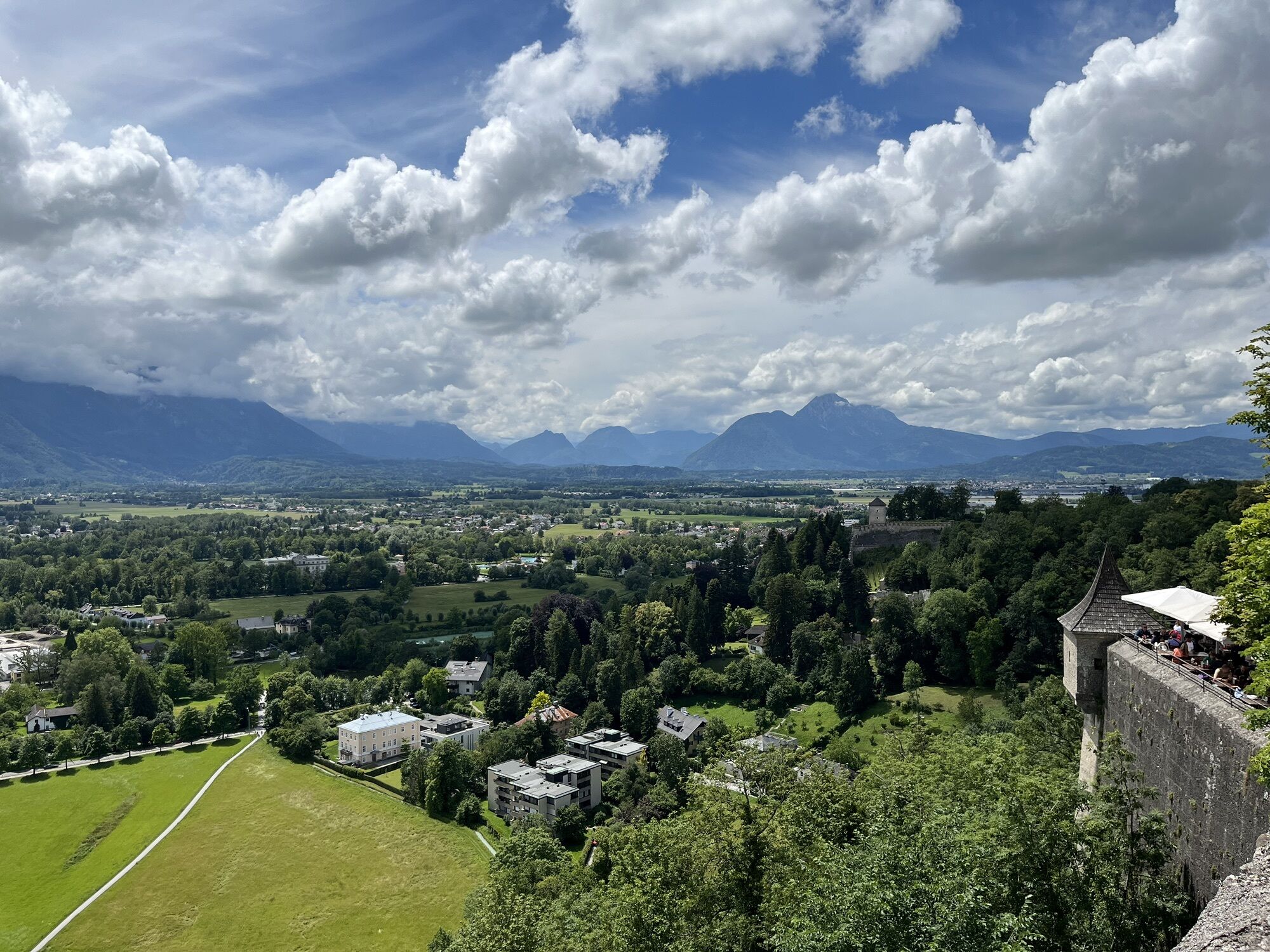
Photos from our users
-

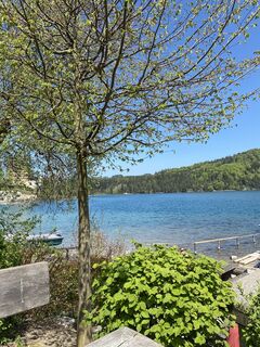
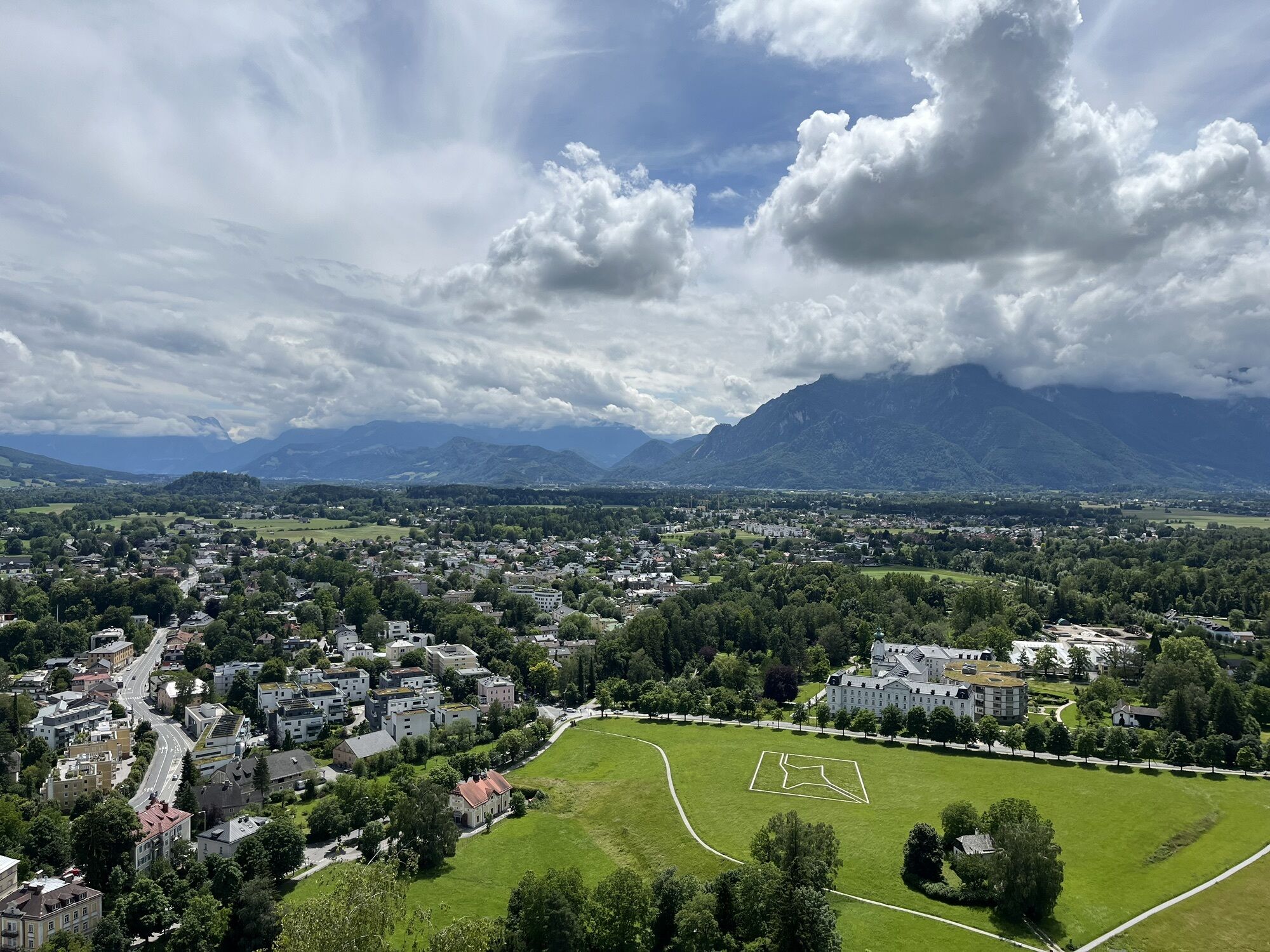
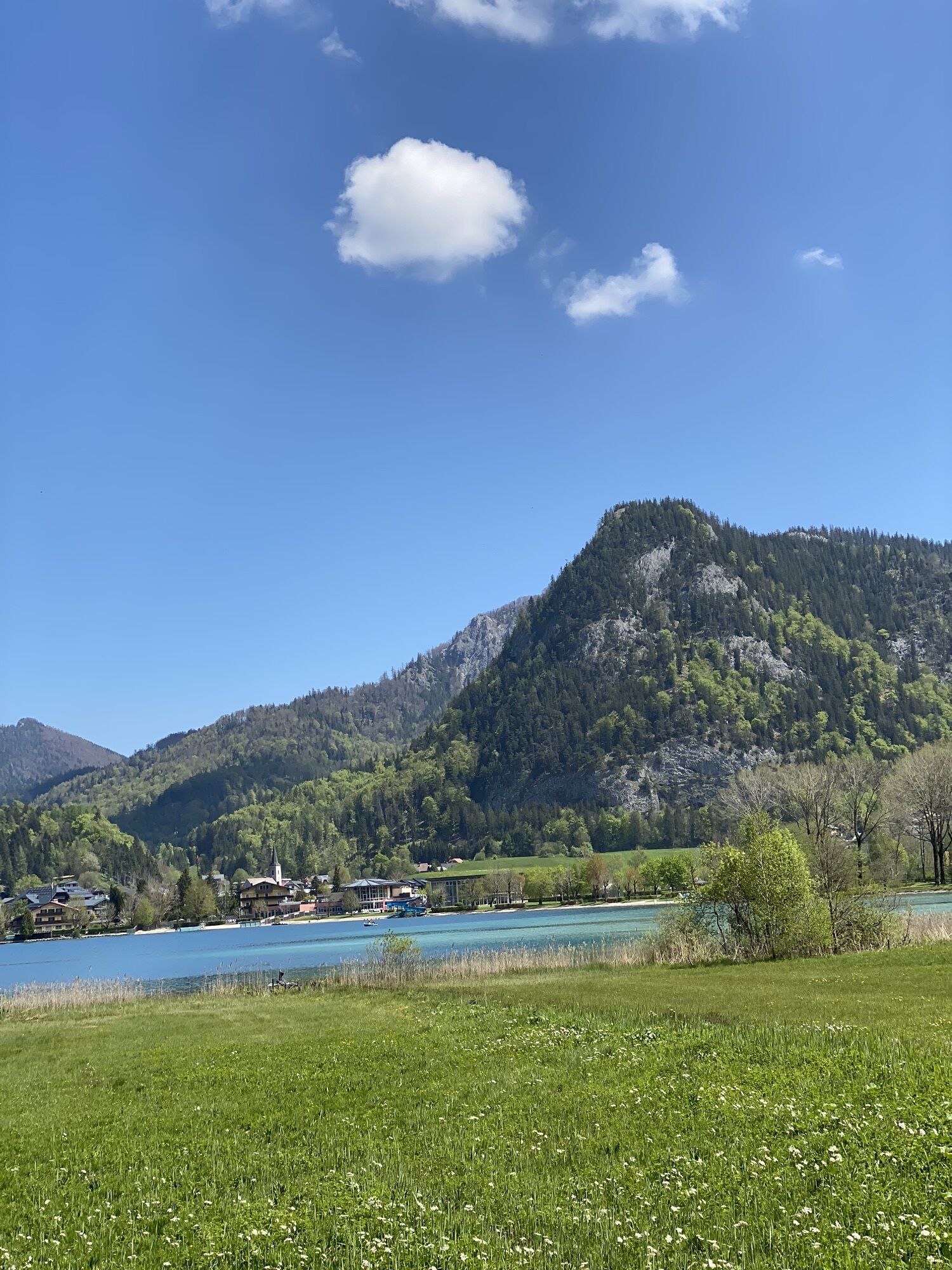
 © Tami MayerCreated on 09.05.2023
 -
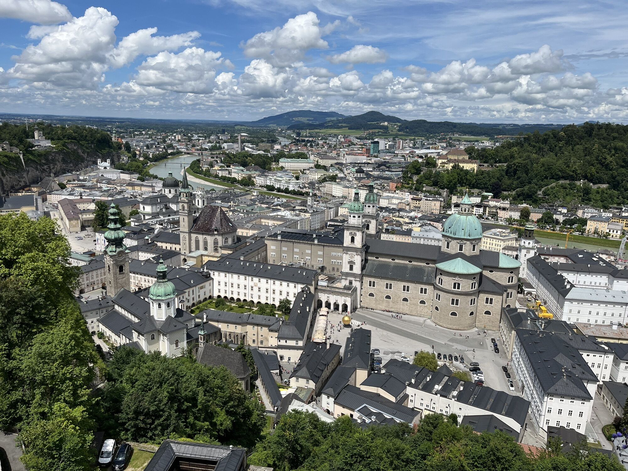
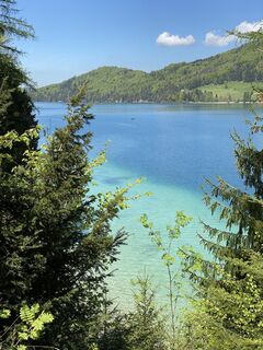 © Tami MayerCreated on 09.05.2023
 -

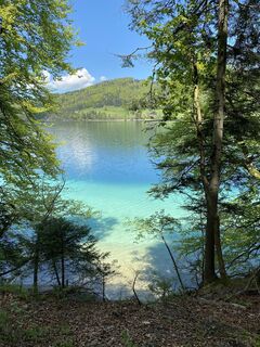
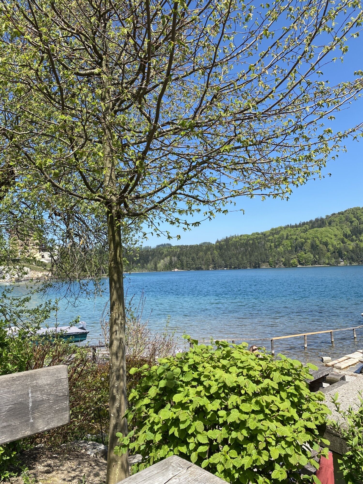
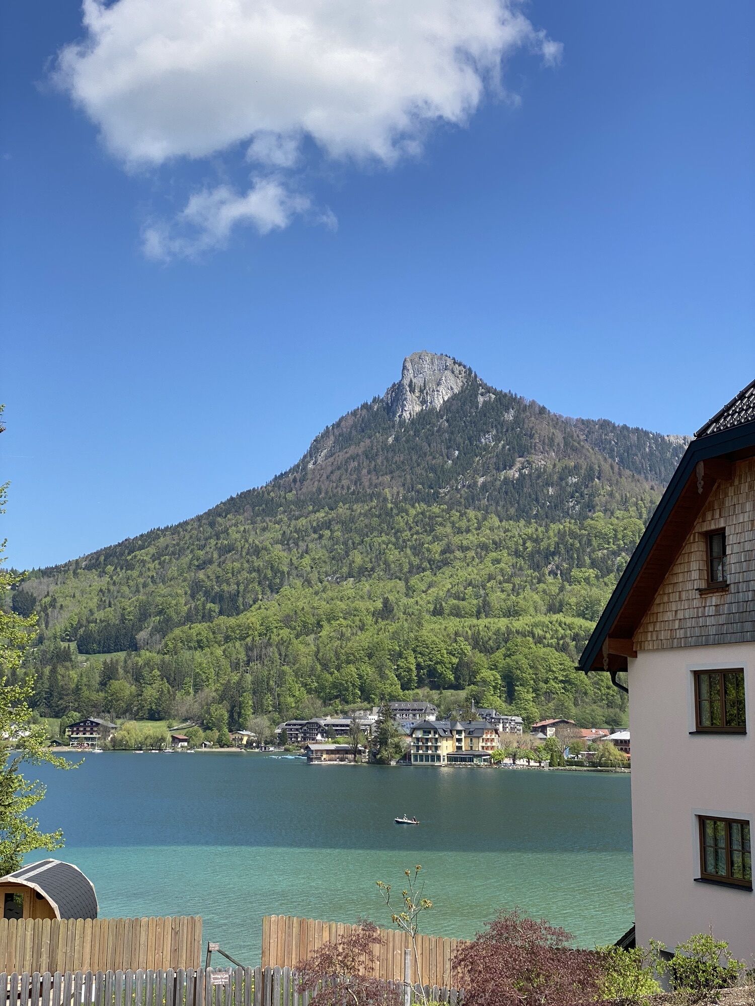
 © Susanne Johansson PantzareCreated on 16.06.2024
 -
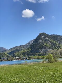
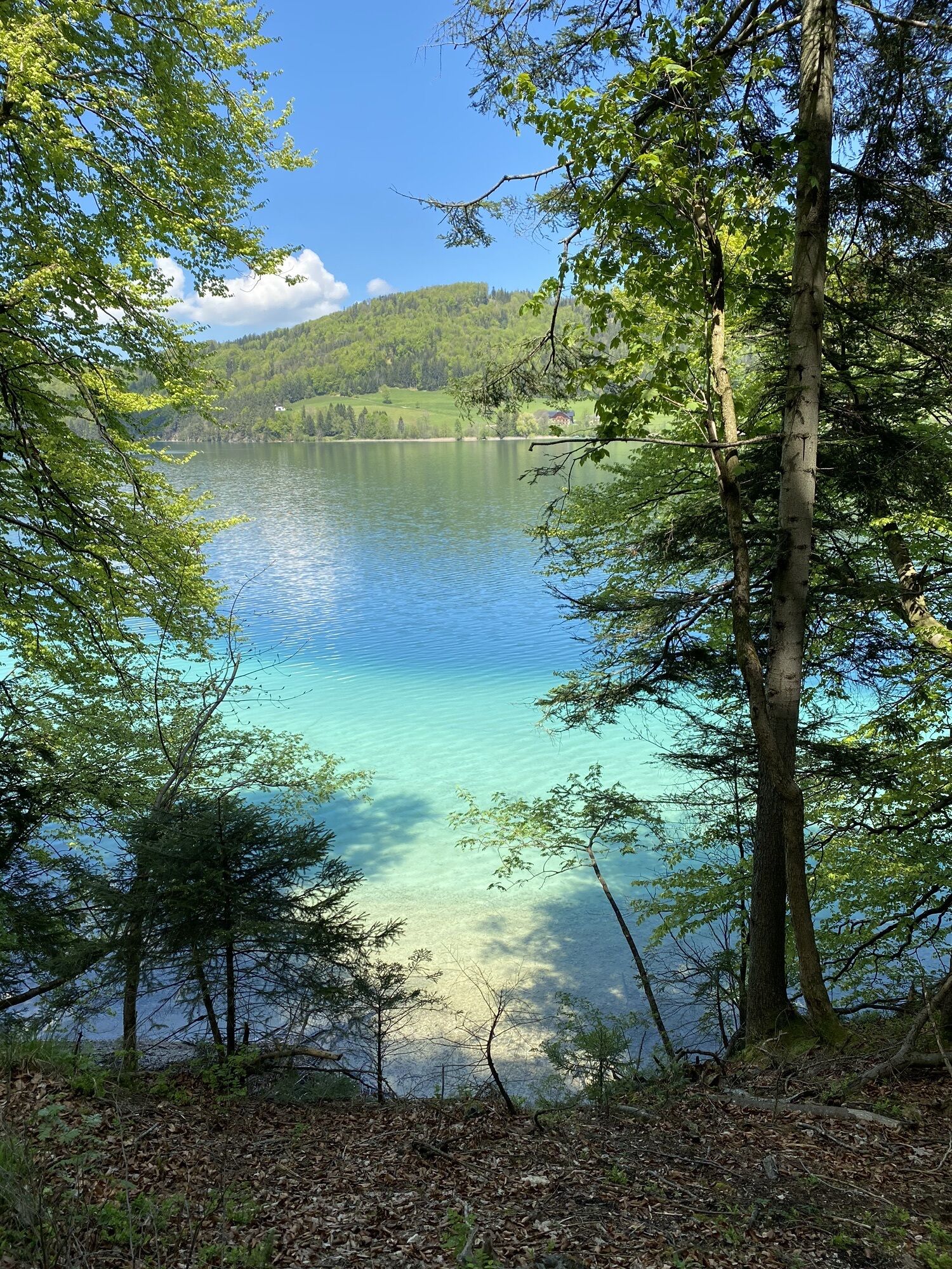
 © Susanne Johansson PantzareCreated on 16.06.2024
 -
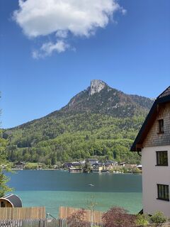
 © Susanne Johansson PantzareCreated on 16.06.2024
 -
 © Susanne Johansson PantzareCreated on 16.06.2024
 -
 © Susanne Johansson PantzareCreated on 16.06.2024
 -
 © Susanne Johansson PantzareCreated on 16.06.2024
 -
 © Tami MayerCreated on 09.05.2023
 -
 © Tami MayerCreated on 09.05.2023
 -
 © Tami MayerCreated on 09.05.2023
 -
 © Tami MayerCreated on 09.05.2023


Route
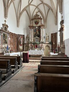
Perweinkapelle
(648 m)
Place of worship
7,2 km
Schwarzenbergkapelle
(647 m)
Place of worship
7,2 km
Vordersee
(698 m)
Village
20,5 km
Steinbräu
(755 m)
Settlement
25,3 km
Haslau
(730 m)
Settlement
38,3 km
Salzburg
(424 m)
City
55,5 km
Neuapostolische Kirche
(422 m)
Place of worship
57,0 km
Route
Elsbethen - Gasthaus "DieRamsau" - Perweinkapelle - Schwarzenbergkapelle
medium
Mountainbike
62,59
km
Elsbethen
(431 m)
Village
0,2 km
Glasenbach
(445 m)
Village
1,6 km
Pizzaservice Rassanti
(452 m)
Restaurant
1,6 km
Vorderfager
(657 m)
Village
4,2 km
Schwaitlalm
(671 m)
Restaurant
5,4 km
Gasthaus "DieRamsau"
(656 m)
Restaurant
6,1 km
Perweinkapelle
(648 m)
Place of worship
7,2 km
Schwarzenbergkapelle
(647 m)
Place of worship
7,2 km
Hinterwinkl
(660 m)
Village
7,9 km
Hinterwinkl
(661 m)
Corridor/terrain
8,0 km
Gasthof Neuhäusl
(564 m)
Restaurant
10,6 km
Hinterebenau
(573 m)
Village
11,9 km
Quelle Familie Ziller
(639 m)
Source
13,3 km
Gasthof Strubklamm "Seewirt"
(678 m)
Restaurant
15,7 km
Vordersee
(698 m)
Village
20,5 km
Fischerwirt
(706 m)
Restaurant
20,8 km
Anger
(745 m)
Settlement
21,6 km
Wöhrlehensiedlung
(757 m)
Settlement
22,1 km
Wittau
(755 m)
Settlement
22,4 km
Hochfeld
(788 m)
Settlement
22,9 km
Ramsau
(772 m)
Village
23,7 km
Steinbräu
(755 m)
Settlement
25,3 km
Tiefbrunnau
(755 m)
Village
27,6 km
Fuschl am See
(670 m)
Village
31,2 km
Brunn
(705 m)
Village
33,0 km
Jagdhof
(725 m)
Restaurant
37,0 km
Baderluck
(757 m)
Settlement
37,7 km
Thann
(757 m)
Settlement
38,1 km
Haslau
(730 m)
Settlement
38,3 km
Pizzeria Bianco
(749 m)
Restaurant
38,6 km
Zur Post
(738 m)
Restaurant
39,6 km
Hof bei Salzburg
(740 m)
Village
39,7 km
Frische Grillhendl Imbiss
(739 m)
Restaurant
39,9 km
Gitzen
(713 m)
Village
41,3 km
Reit
(716 m)
Settlement
42,1 km
Habach
(691 m)
Village
44,0 km
Guggenthal
(628 m)
Village
49,7 km
Gnigler Wasserfälle
(499 m)
Waterfall
50,8 km
Gnigl
(446 m)
Neighbourhood
52,3 km
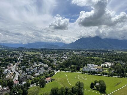
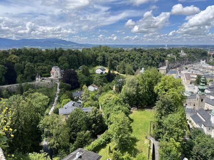
Salzburg
(424 m)
City
55,5 km
St. Erhardkirche
(421 m)
Place of worship
56,1 km
Nonntal
(420 m)
Neighbourhood
56,6 km
Neuapostolische Kirche
(422 m)
Place of worship
57,0 km
Anlegestelle Hellbrunn
(418 m)
Ferry landing stage
60,9 km
Rechenwirt
(428 m)
Restaurant
61,7 km
Austraße
(427 m)
Playground
62,3 km
Elsbethen
(431 m)
Village
62,5 km
No reviews yet
Popular tours in the neighbourhood
-
4,8
Schober -Aussichtsplattform mit Seensicht
heavyPješačenje 2,65 km -
4,6
Almkogel Rundwanderung Salzburg
lightPješačenje 9,60 km -
4,8
Zwölferhorn
mediumPješačenje 8,64 km -
4,7
Reitsteig - Dopplersteig Runde_Untersberg
mediumPuna brzina 9,89 km -
4,7
+++ Schober, Österreich
mediumPješačenje 2,60 km -
4,2
Wanderung zum Kleinen Barmstein über die Ruine Thürndl
heavyPješačenje 4,20 km -
4,6
Ellmaustein
lightPješačenje 3,18 km -
4,8
Schlenken and Schmittenstein hike
heavyPješačenje 10,9 km -
5,0
Untersberg (Salzburger Hochthron)
mediumPješačenje 11,8 km -
4,4
Wanderung um den Plombergstein
Pješačenje 4,30 km
bergfex Tours

Over 550.000 tour suggestions, detailed maps and an intuitive route planner make the app a must-have for all nature enthusiasts.

Ne propustite ponude i inspiraciju za vaš sljedeći odmor
Subscribe to the newsletter
Error
An error has occurred. Please try again.
Thank you for your registration
Your e-mail address has been added to the mailing list.
Tours throughout Europe
Austrija
Švicarska
Njemačka
Italija
Slovenija
Francuska
Nizozemska
Belgija
Poljska
Lihtenštajn
Češka
Slovačka
Španija
Hrvatska
Bosna i Hercegovina
Luksemburg
Andora
Portugal
Island
Ujedinjeno Kraljevstvo
Irska
Grčka
Albanija
Sjeverna Makedonija
Malta
Norveška
Crna Gora
Moldova
Kosovo
Mađarska
San Marino
Rumunjska
Estonija
Latvija
Bjelorusija
Cipar
Litva
Srbija
Bugarska
Monako
Danska
Švedska
Finska