


Photos from our users
-

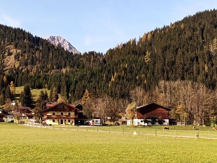
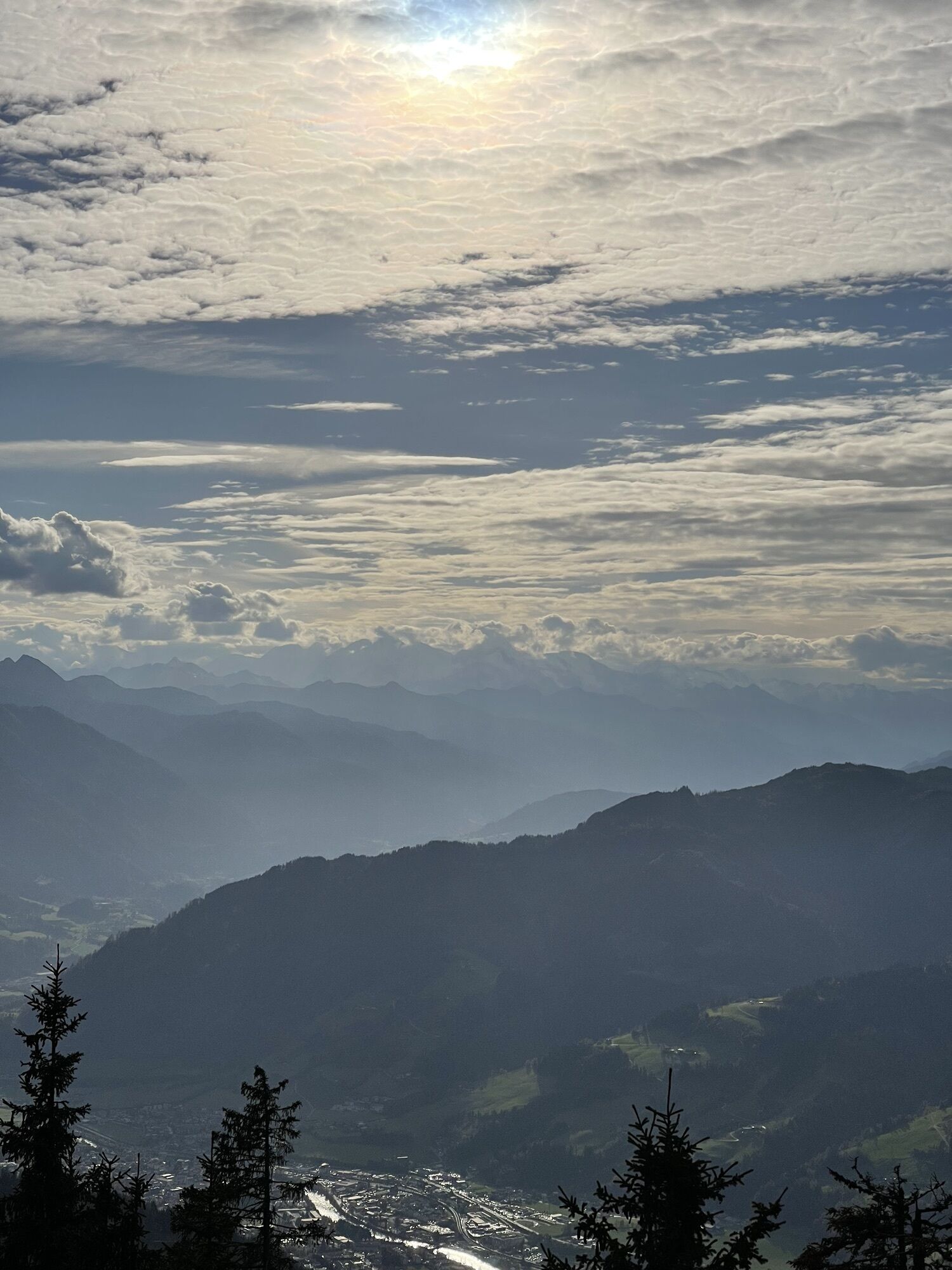
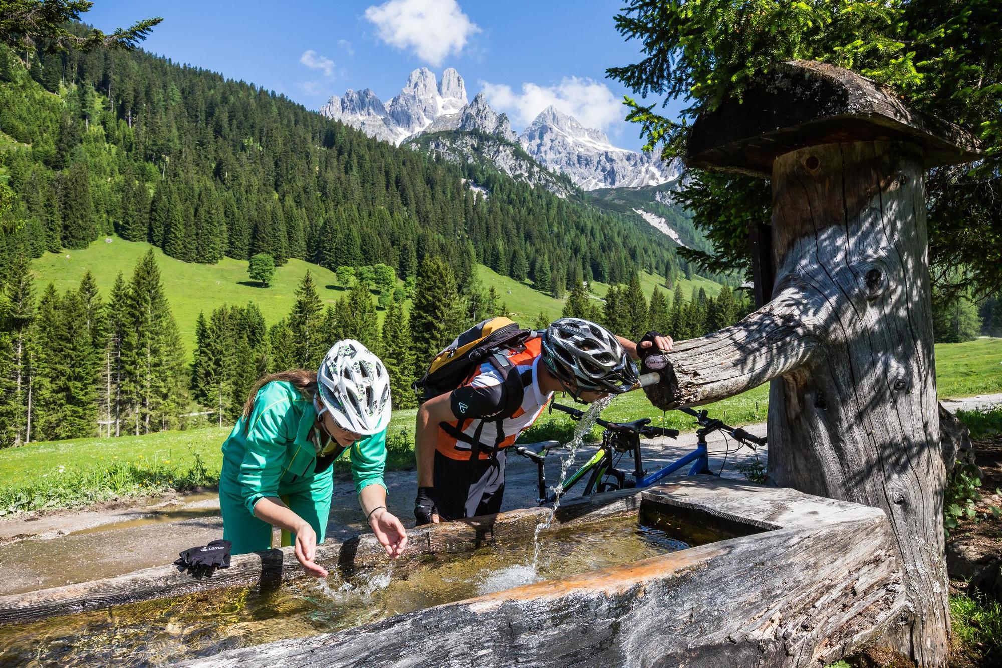
 © _Lani_Created on 10.10.2022
 -
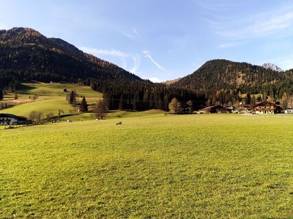
 © _Lani_Created on 10.10.2022
 -
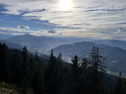
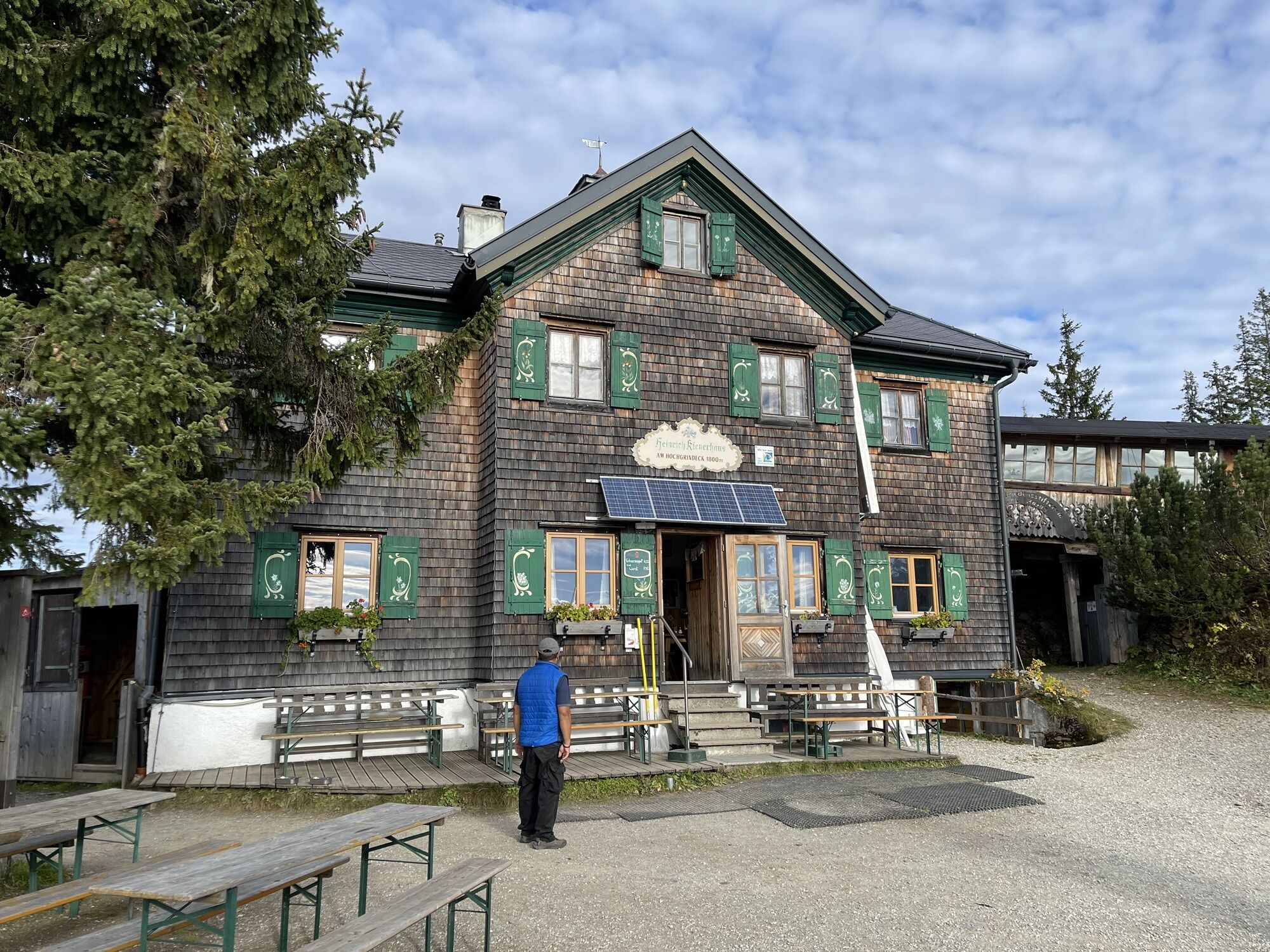
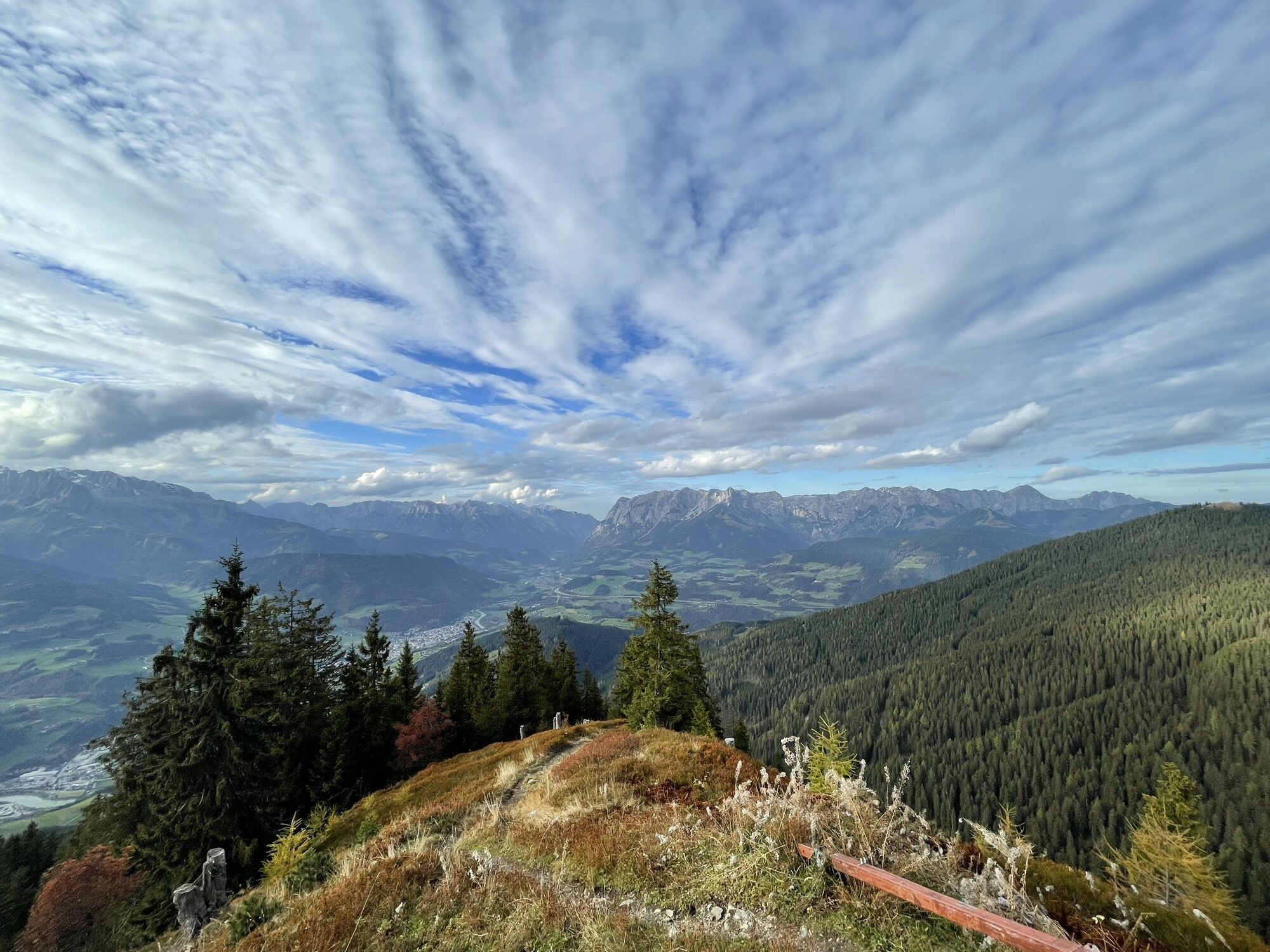
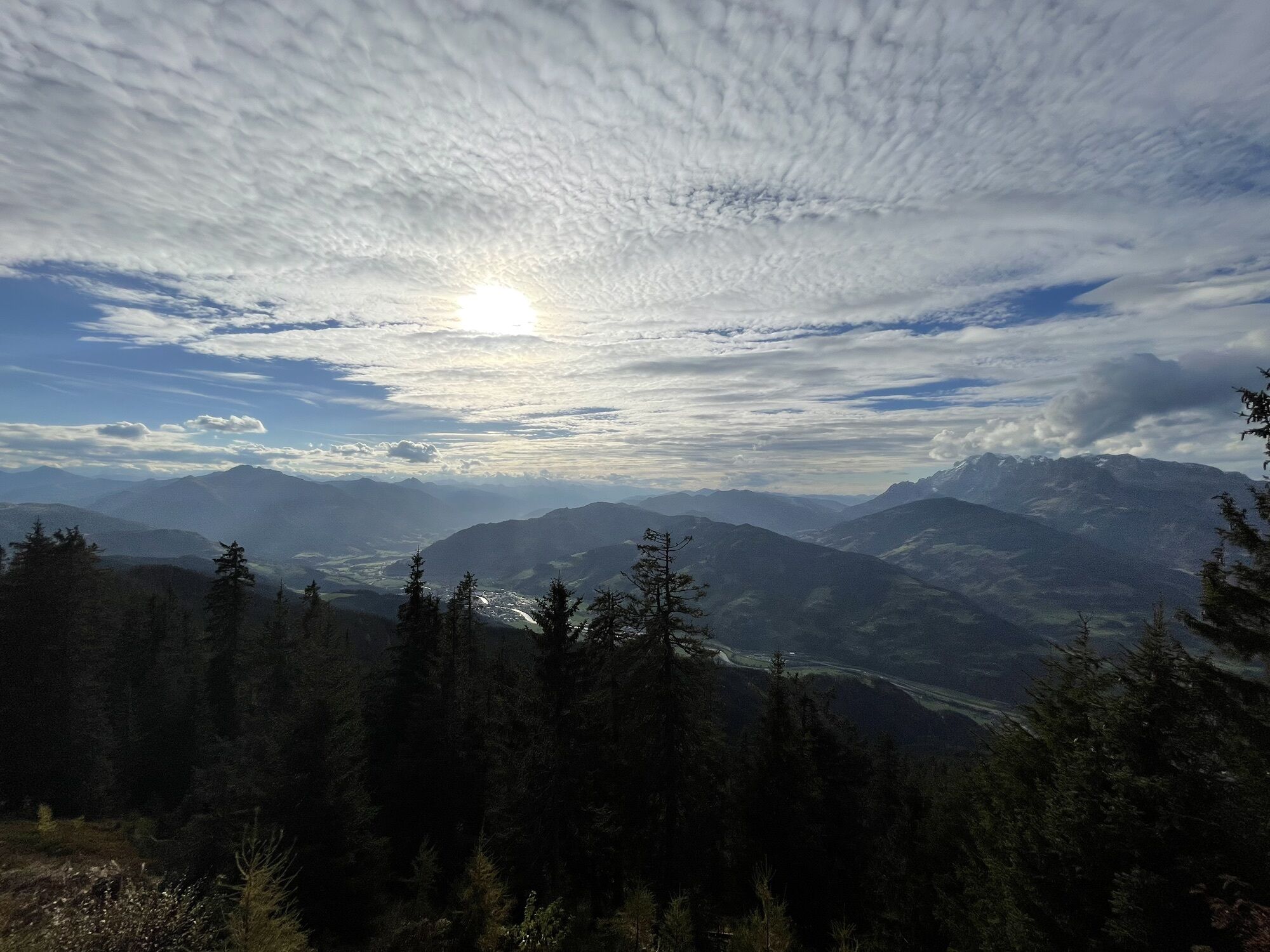
 © Erwin KrumböckCreated on 28.10.2022
 -
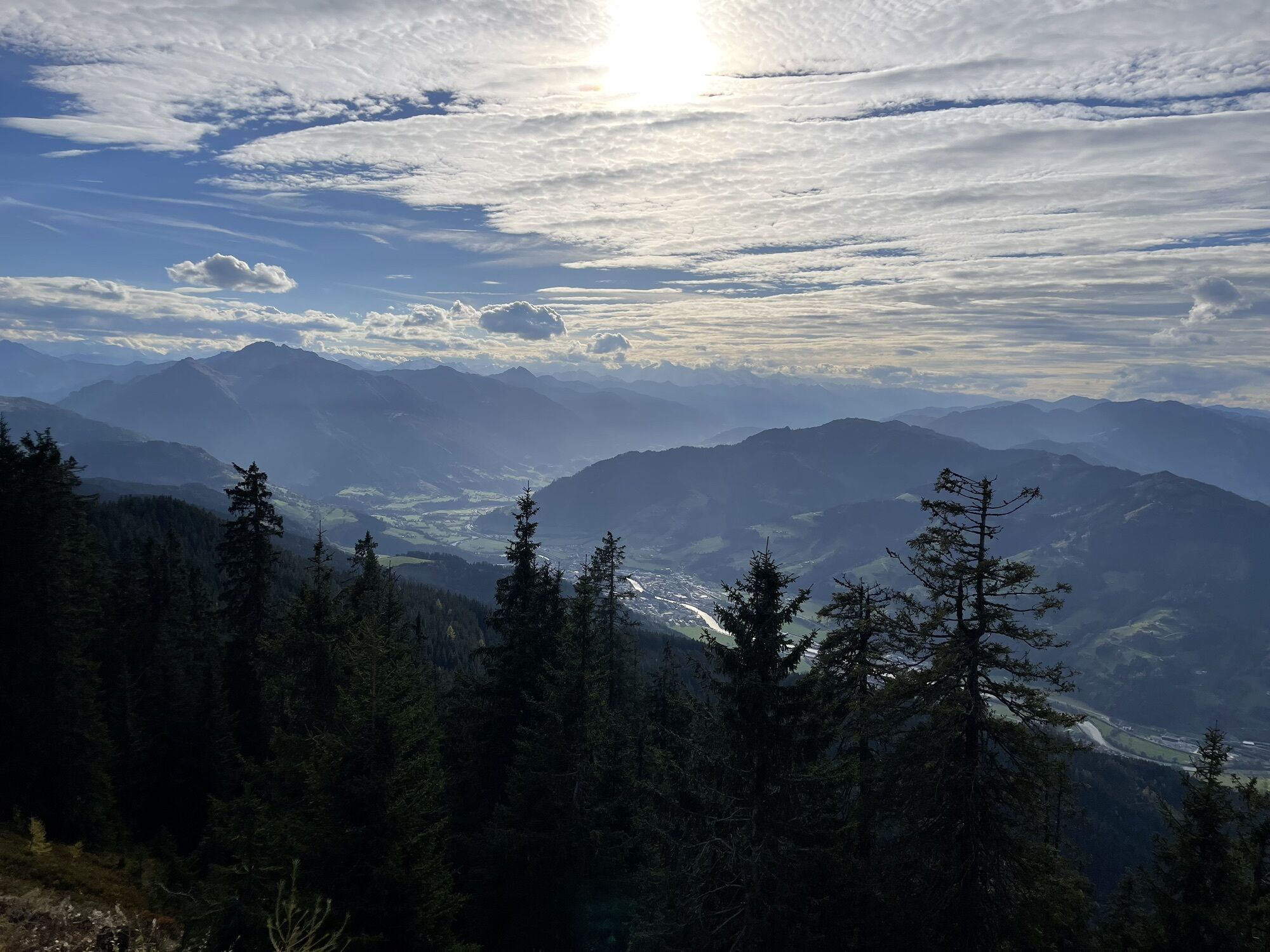
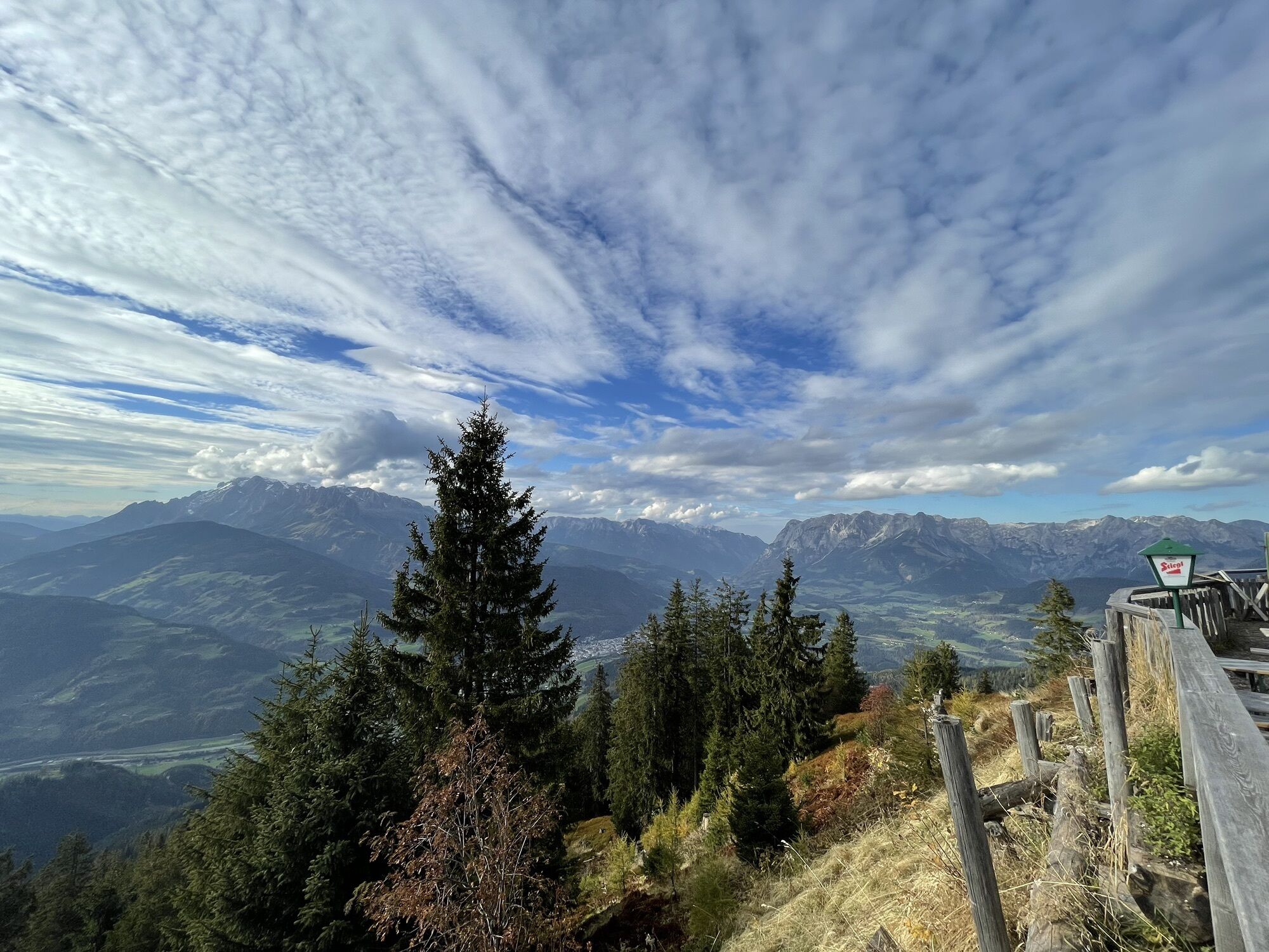
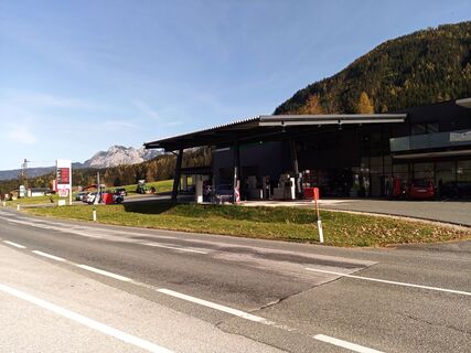 © Erwin KrumböckCreated on 28.10.2022
 -
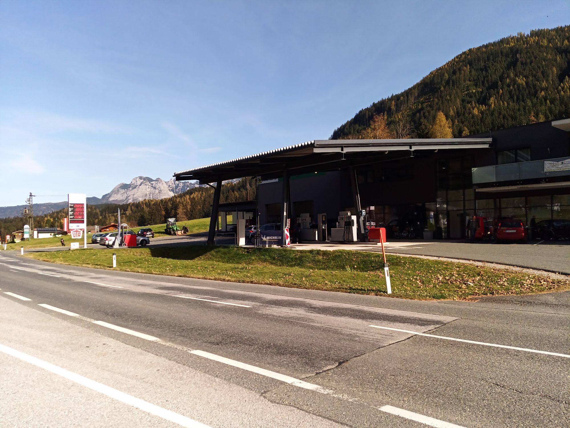
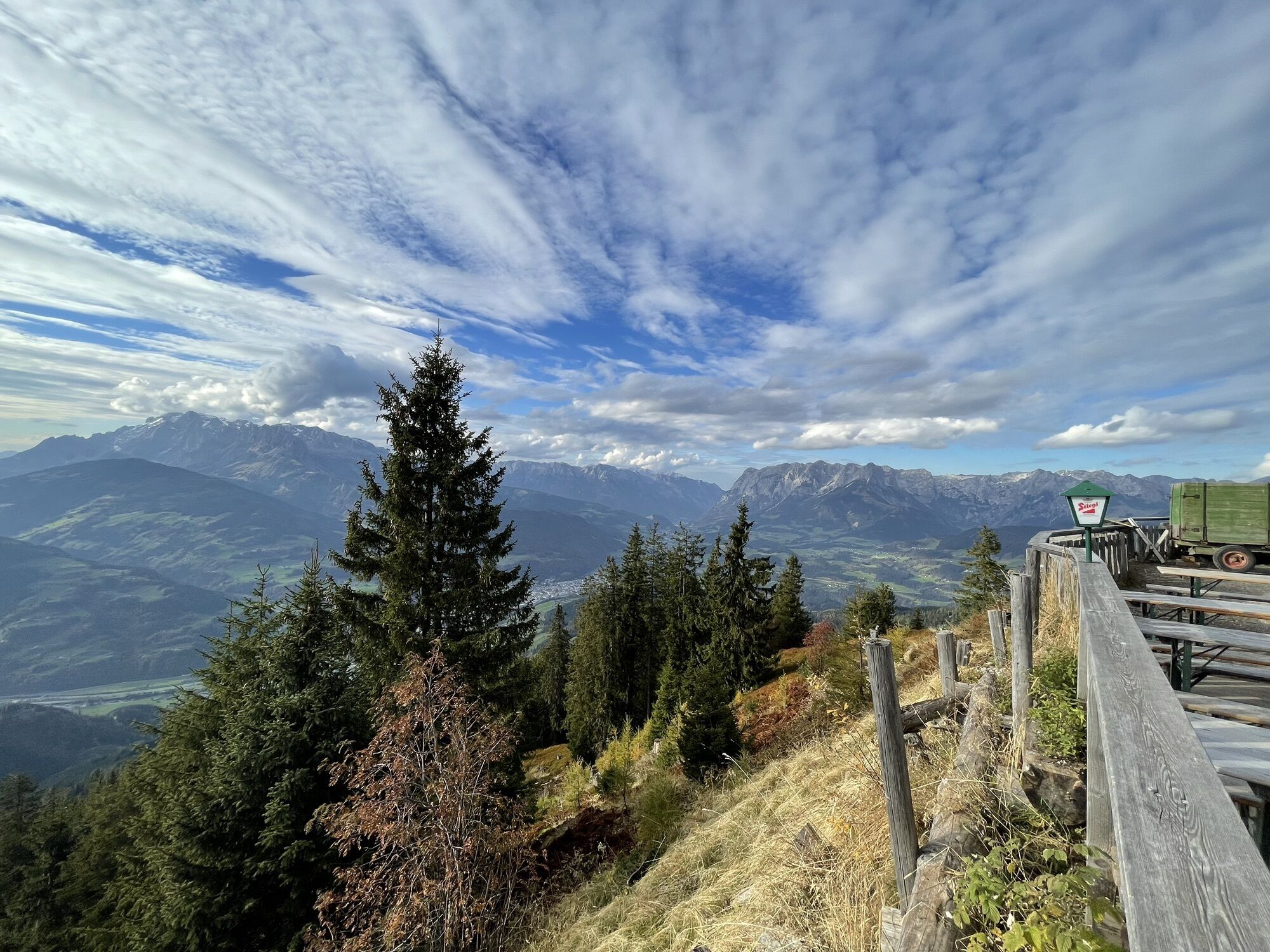
 © Erwin KrumböckCreated on 28.10.2022
 -
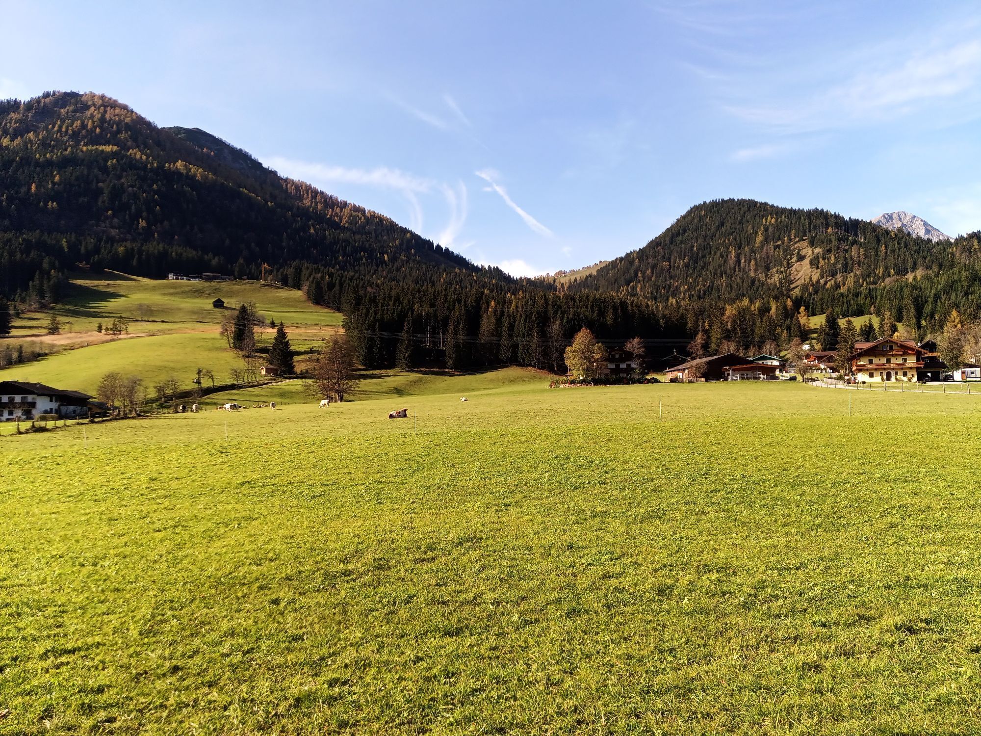
 © _Lani_Created on 10.10.2022
 -
 © _Lani_Created on 10.10.2022
 -
 © _Lani_Created on 10.10.2022
 -
 © _Lani_Created on 10.10.2022
 -
 © _Lani_Created on 10.10.2022


At Bischofshofen from Mooshammerplatz take the Gasteiner Straße into direction south, afterwards turn left into the street Pestalozigasse cross the street, turn left and take the underpass. Arrived at the right riverside turn right and ride at the Trauernradweg until the firm Höller. Turn here left, take the underpass and ride further at the street until Urreiting. You can also orient at the mountain bike route number 4. Here starts the ascent to Obergründeck and Höchgründeck. At the new gravel forest road (blue white mountain bike sings of the region Pongau) further to the junction Hochgründeck. After 400 meters’ height follow the signposted way. Afterwards leads the route back until the junction into direction Eben (ca. 18 kilometers, mountain bike way number 22). From the sport area via the village street (Sign – Watzmann Runde und MTB Plattentour). Ride until Ellmaugut. Afterwards starts the gravel forest street through wooded area until the highest point (1350 HM). Then starts some downhill parts and some easy and short uphill parts until it goes downhill to the street 166 direction St. Martin. Cross the street and follow the bikeway to the village center.
Yes
Popular tours in the neighbourhood
-
4,7
Panorama hike to the Hochkeil
mediumPješačenje 6,07 km -
3,6
Wanderung zur Ostpreußenhütte in Werfen (1.630 m)
mediumPješačenje 11,2 km -
4,2
Ennskraxn (2410m)
heavyPješačenje 14,7 km -
3,7
Auf die Ostpreussenhütte
mediumPješačenje 16,6 km -
4,7
Ski route Lackenkogel
mediumSkijaška tura 7,82 km -
4,1
Großarl: Unterwandalm - Karseggalm - Breitenebenalm
mediumPješačenje 5,93 km -
4,5
Penkkopf via Kleinarler hut from Kleinarl
mediumSkijaška tura 4,35 km -
4,2
Wasserfallweg (UNESCO-Geopark Erz der Alpen)
lightTematska staza 4 km -
4,5
Wengerau - Tauernkogel - Eiskogel - Napf - Wengerau
mediumPuna brzina 15,5 km -
3,6
Salzburger Gipfelspiel: To the Gerzkopf and the Schwarzen Lacke
mediumPješačenje 8,39 km
bergfex Tours


Ne propustite ponude i inspiraciju za vaš sljedeći odmor
Your e-mail address has been added to the mailing list.