


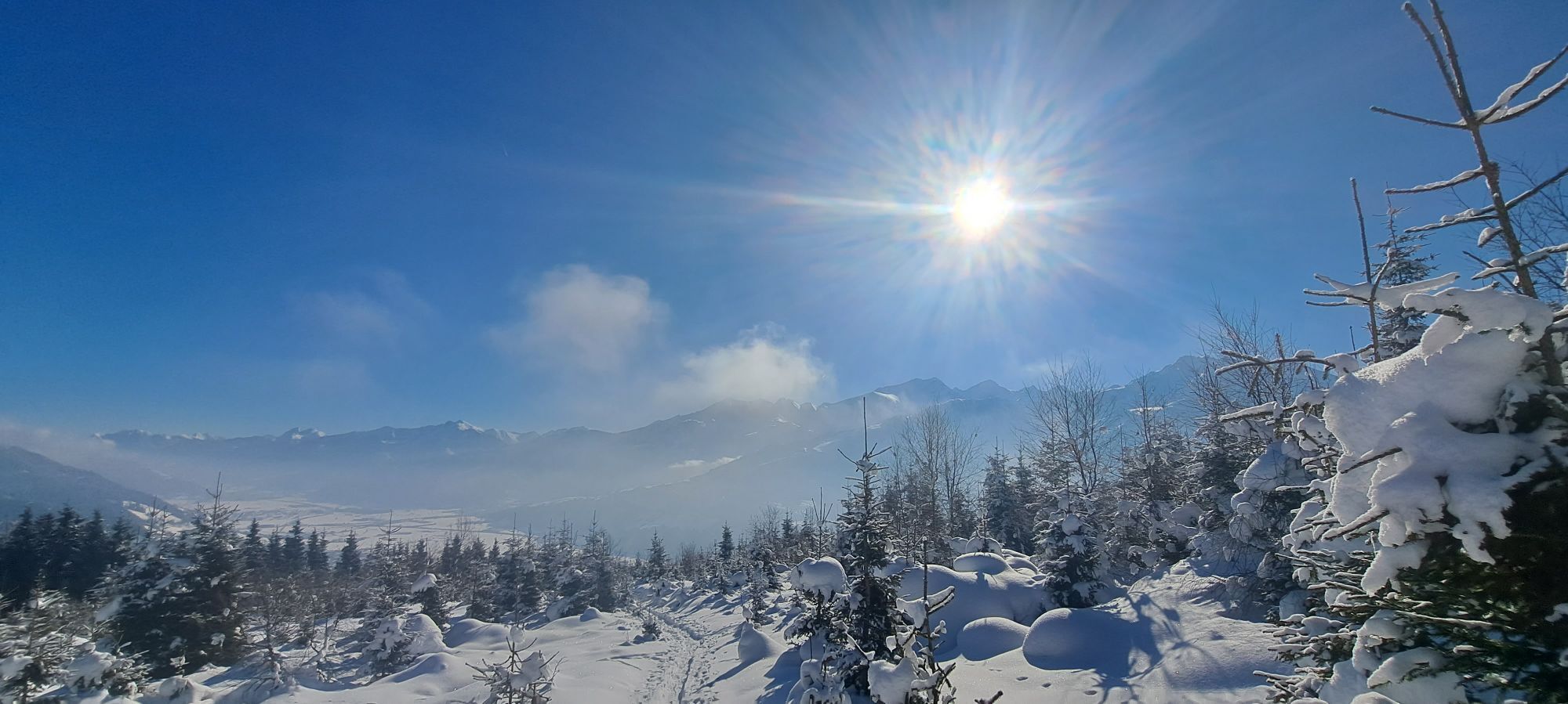
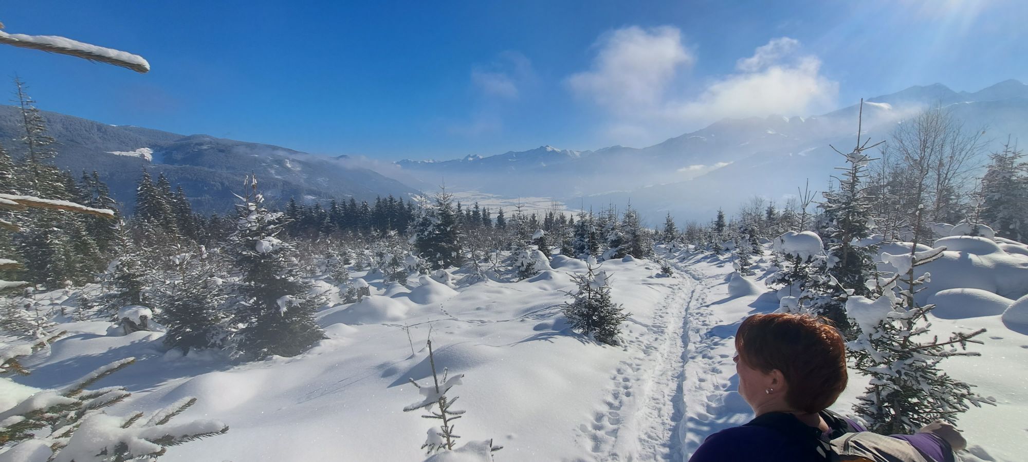
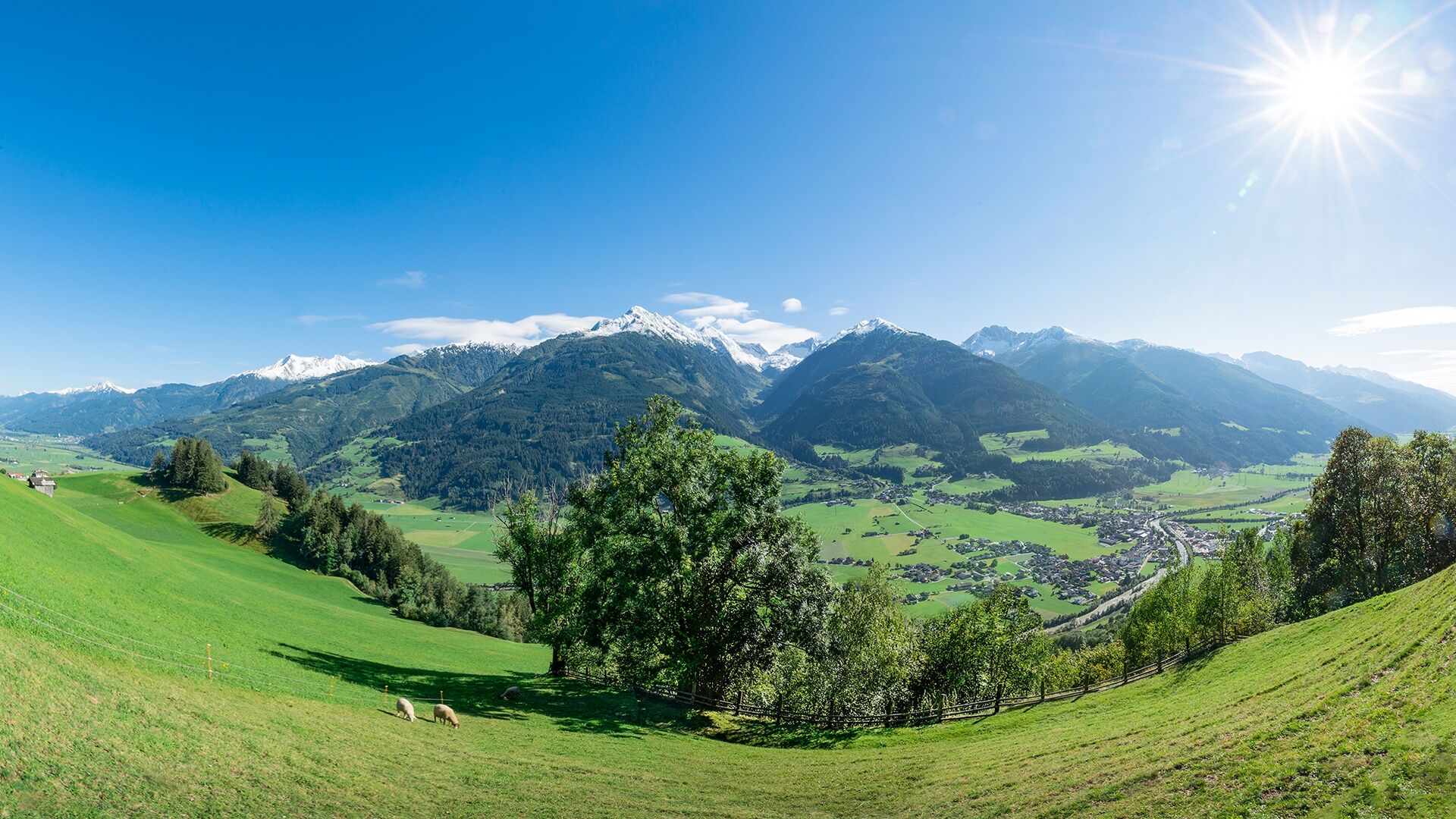
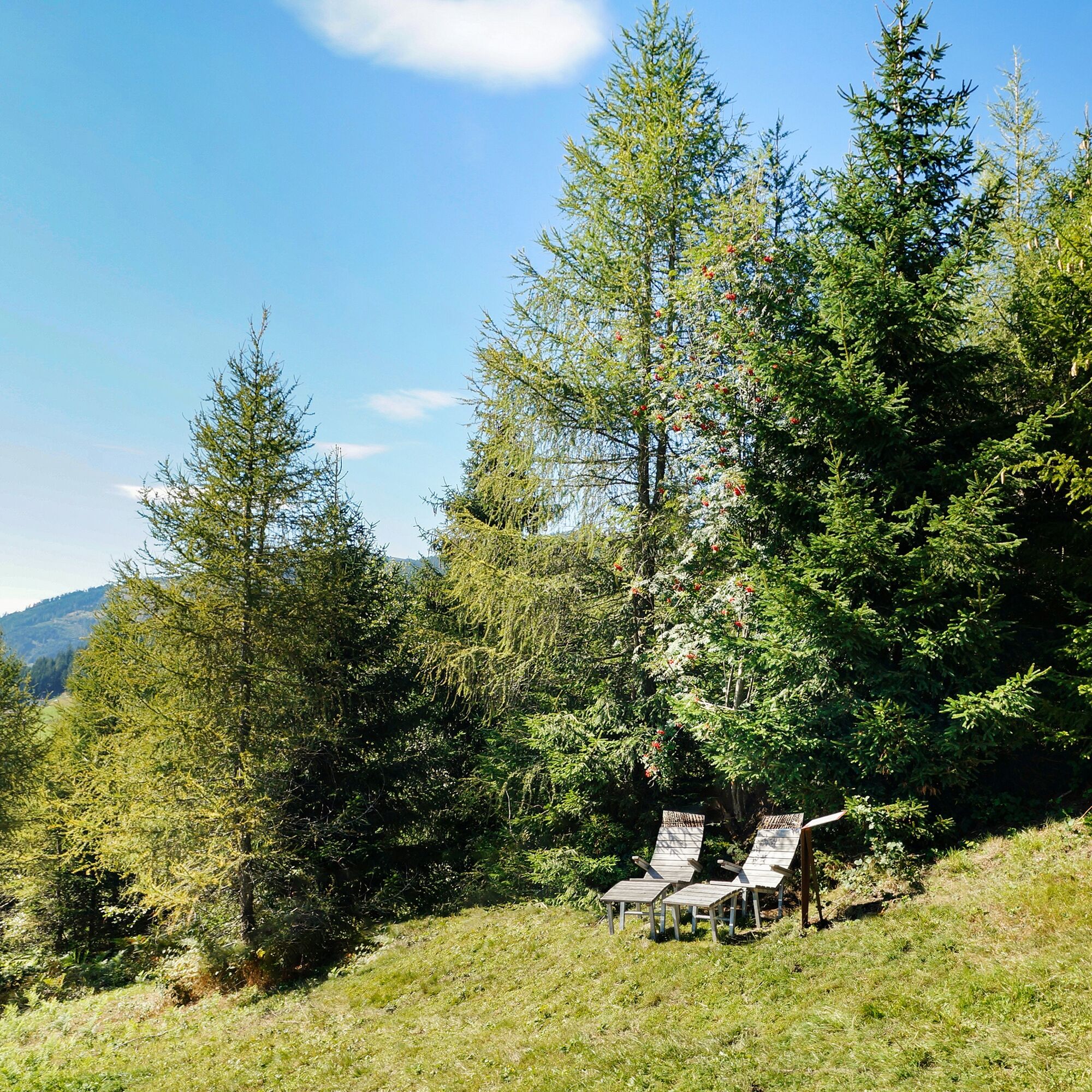
Photos from our users
This tour begins with an ascent of about 5.6 km, then it goes downhill into the valley and over the flat valley floor back to the starting point in Niedernsill.

From the car park run uphill the road via Gaisbichl to Hochprack. From the barrier follow the forest road, at the fork straight on via Röderlehen to Naglbauer. From here follow the Kulturlandschaftsweg trail downhill to Walchen. In Kehlbachgasse turn right into Bachweg and continue through the underpass. Follow the road to the Hummersdorfer bridge, turn right and follow the path along the Salzach river to the dog training area in Niedernsill. Turn right at the bridge and continue along the Tauern Cycle Path to the tourist office. Cross the Salzach river bridge and take the underpass back to the starting point.
Trail running shoes, light & breathable clothing, wind/rain jacket, backpack or running waistcoat, poles, drink (water, energy drink), food (energy bars, fruits, gels), headlamp (recommended), sun protection, first aid kit (emergency blanket, blister plaster, …), mobile phone, map
We hope that the snacks and drinks you take with you on your route will give you the strength to carry back the packaging material and empty cans and bottles.
The running, walking, ... off the marked routes/paths is strictly forbidden.
We kindly ask you to observe the Fair Play & Rules of Conduct!
Fairness and respect for each other are the basis for a common togetherness and the protection of the different interests in the nature area!
Car park available.
Start slowly and warm up to prepare your body for uneven terrain. Run at your own pace and don't overdo it.
Popular tours in the neighbourhood
-
4,7
Tristkogel
heavyPješačenje 15,6 km -
4,5
Sigmund Thun Klamm
lightPješačenje 3,10 km -
4,7
Fusch: Gleiwitzer Hütte
heavyPješačenje 8,26 km -
4,2
Spielbergalmen
mediumPješačenje 10 km -
4,8
Sigmund Thun Klamm, Klammsee, Bürgkogel
lightPješačenje 4,56 km -
5,0
Manlitzkogel
heavyPješačenje 13,4 km -
4,2
Saalachtaler Höhenweg EAST (Asitz - Biberg)
mediumPješačenje 13,1 km -
4,4
Thumersbach, Runde um den Zeller See
lightPješačenje 13,3 km -
3,3
Hinterglemm: Talschluß-Höhenweg
lightPješačenje 10,8 km -
4,3
Schattberg Summit Round
mediumPješačenje 3,17 km
bergfex Tours


Ne propustite ponude i inspiraciju za vaš sljedeći odmor
Your e-mail address has been added to the mailing list.