


Condition: Strength for about 30 minutes of uphill hiking with approx. 200 meters elevation gain. Total walking time approx. 2.5 hours.
Brief & Summary: The route is mostly flat and on forest roads. At...
Condition: Strength for about 30 minutes of uphill hiking with approx. 200 meters elevation gain. Total walking time approx. 2.5 hours.
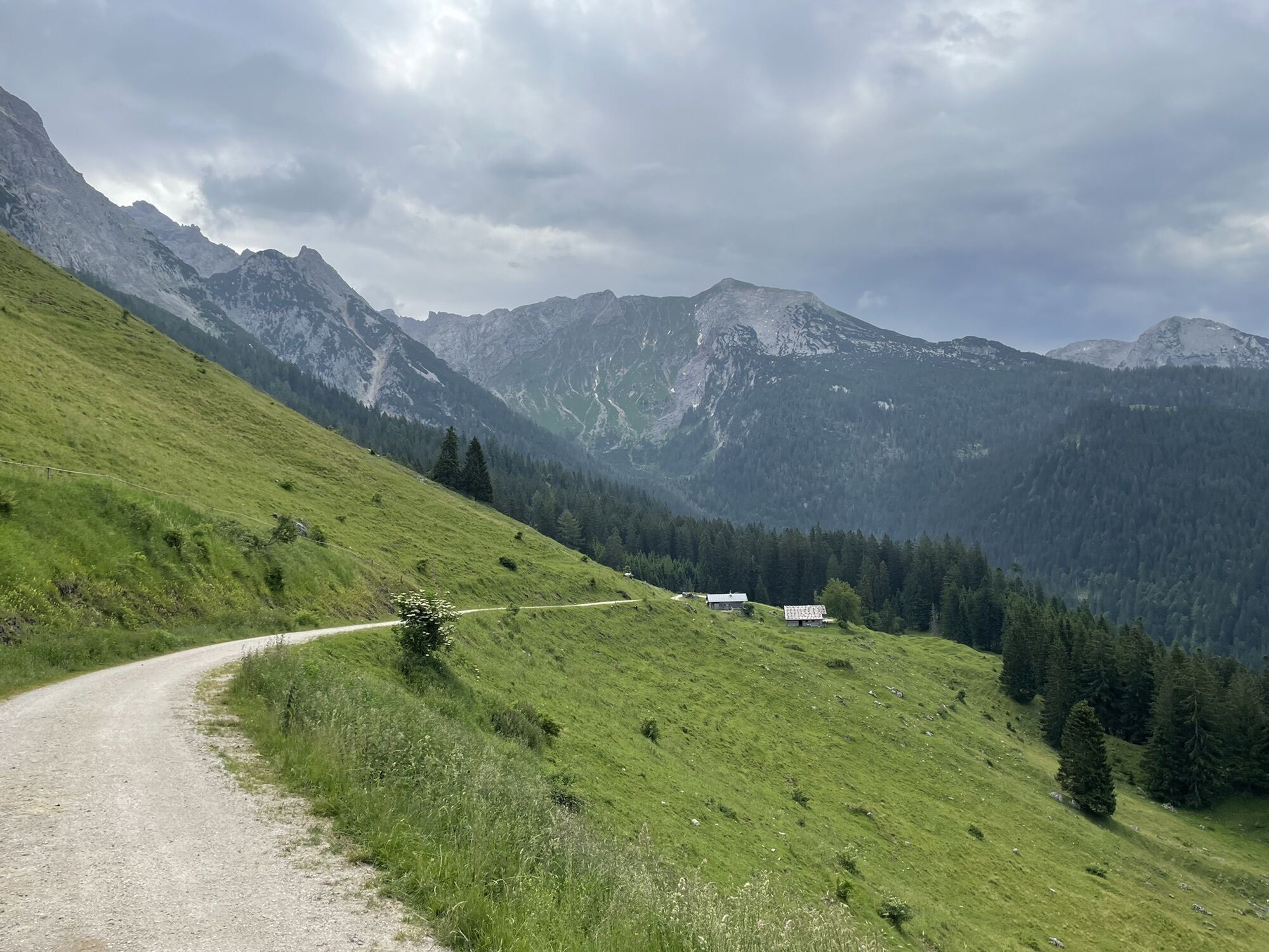
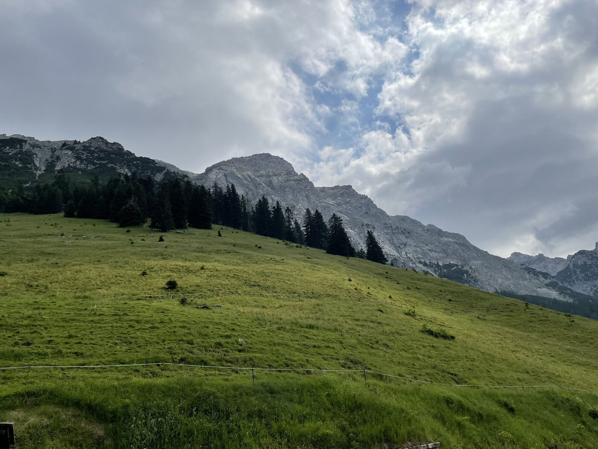
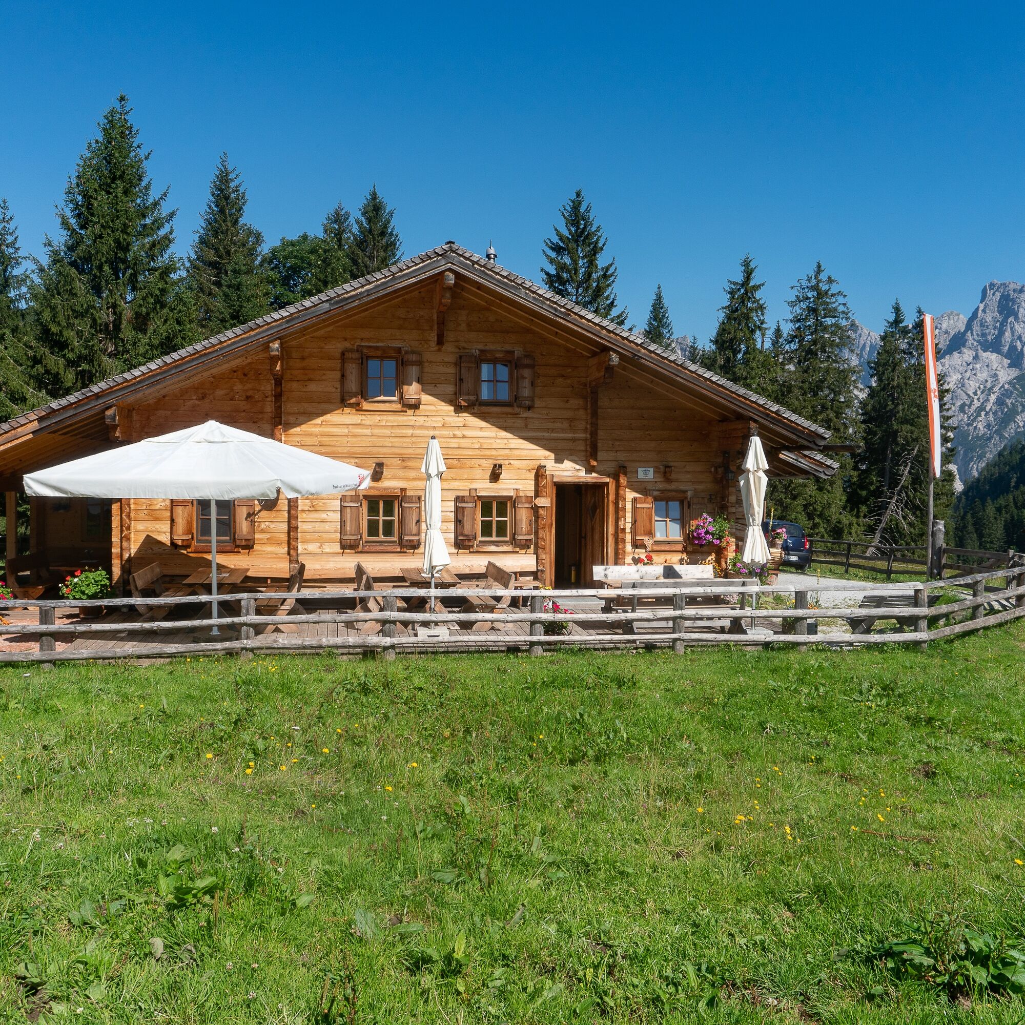
Brief & Summary: The route is mostly flat and on forest roads. At the beginning, it goes downhill a bit on the Hirschbichl state road to Falleck and then continues on the forest road and a hiking path towards Kammerlingalm. From there it first ascends slightly and then descends slightly over the Alm to the route's destination. Refreshment possibility at the Feichtnkaser Alm tavern on Kammerlingalm.
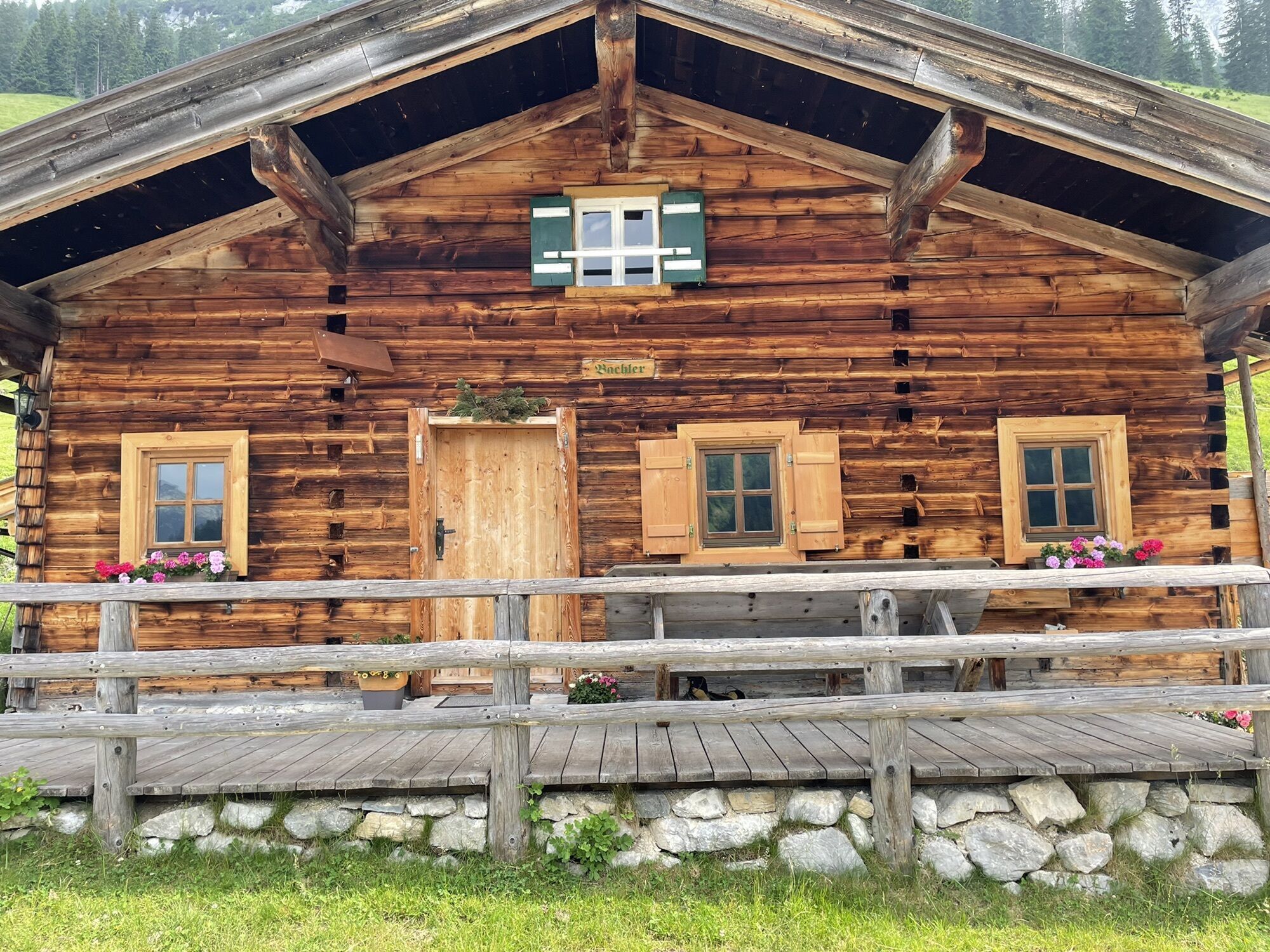
Route Highlights: The Kammerlingalm with the Alm tavern as well as the numerous Alm huts and cows.
This route is part of the "Hiking with Kids" in the Salzburg Saalachtal. Duration and difficulty level are designed for children/families.

First, follow the Hirschbichl state road 500 meters downhill and turn left toward Falleck along hiking trail 401. After almost 2.7 kilometers, turn left onto hiking trail No. 29, which leads after a short steeper ascent to the forest road over the Kammerlingalm. Cross the Alm and return at the end via the same path past the snack station back to Hirschbichl, the start and finish point of the route.
Yes
In addition to a water bottle, we recommend sturdy footwear, warm clothing and rain protection, a mobile phone, sunglasses and sun protection (e.g. cap), as well as a small snack.
Via the B311 to Weißbach near Lofer. It is best to change to the AlmErlebnisBus here.
Alternatively, access is possible via the L110 (Hirschbichl state road) to Waltlmühlsäge. From here, driving is prohibited, and the path to the Kammerlingalm junction must be done on foot (approx. 45 minutes).
At the public parking lots in Weißbach or at the Waltlmühlsäge parking lot (both paid).
The Kammerlingalm Alm tavern is the ideal place to stop on the last section. Note: closed on Mondays.
Popular tours in the neighbourhood
-
5,0
Königssee - Kärlinger-Haus
Pješačenje 10,1 km -
4,5
Rundweg vom Hintersee zur Halsalm
mediumPješačenje 9,53 km -
4,4
Riemannhaus
heavyPješačenje 3,69 km -
4,4
Wimbachgrieshütte
Pješačenje 8,30 km -
4,9
von Schönau am Königssee zum Watzmannhaus und zurück
mediumPješačenje 17,1 km -
4,5
Birnbachloch Leogang, Österreich
mediumPješačenje 5,18 km -
5,0
Watzmann Überschreitung an einem Tag
heavyPješačenje 23,9 km -
4,2
Halsalm
Pješačenje 6,43 km -
4,3
Peter-Wiechenthaler Hut
mediumPješačenje 4,32 km -
4,1
Passauer Hütte
heavyPješačenje 4,14 km
bergfex Tours


Ne propustite ponude i inspiraciju za vaš sljedeći odmor
Your e-mail address has been added to the mailing list.