Gasthof Bürglhöh - Vorderkeil - Hochkeil - Mitterfeldalm
heavy
Navigate
Navigate
Get this tour on your mobile
Gasthof Bürglhöh - Vorderkeil - Hochkeil - Mitterfeldalm
heavy
Pješačenje
19,93
km
Scan the QR code and start navigation in the bergfex app

Hiking & Tracking


Distance
19,93
km
Duration
06:27
h
Ascent
1.216
m
Sea level
736 -
1.781
m
Track download
Gasthof Bürglhöh - Vorderkeil - Hochkeil - Mitterfeldalm
heavy
Pješačenje
19,93
km


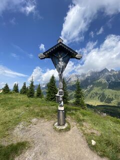
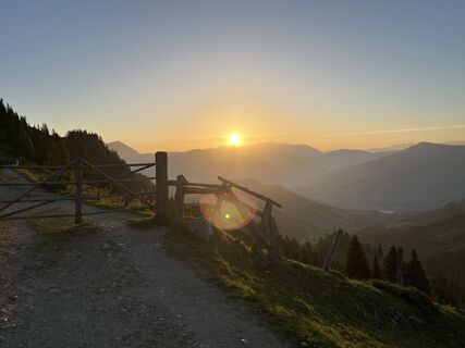
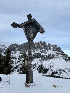
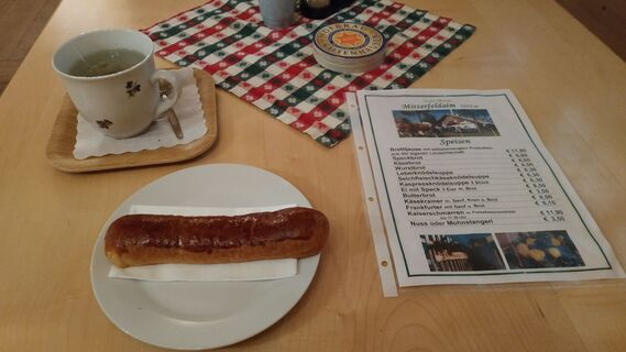
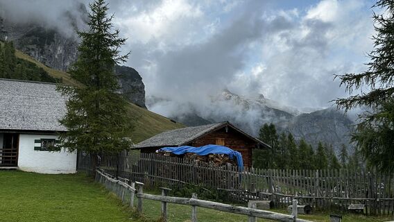
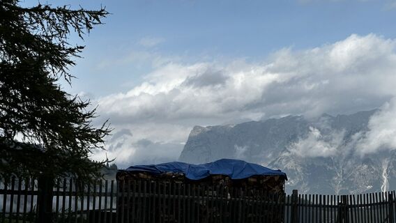
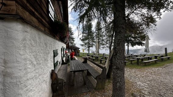
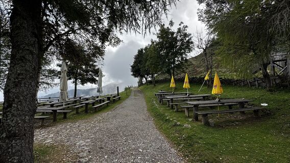
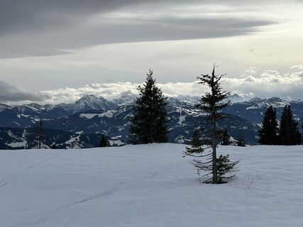
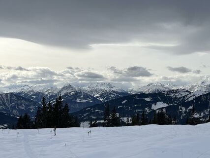
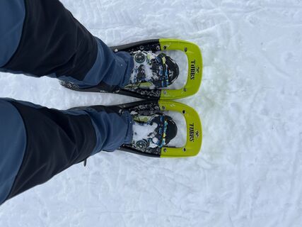
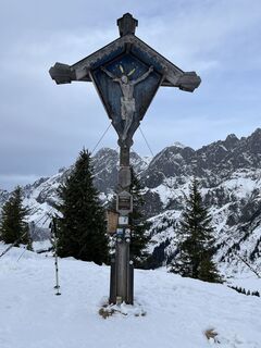
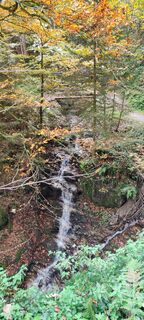
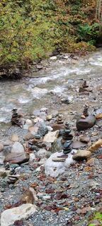
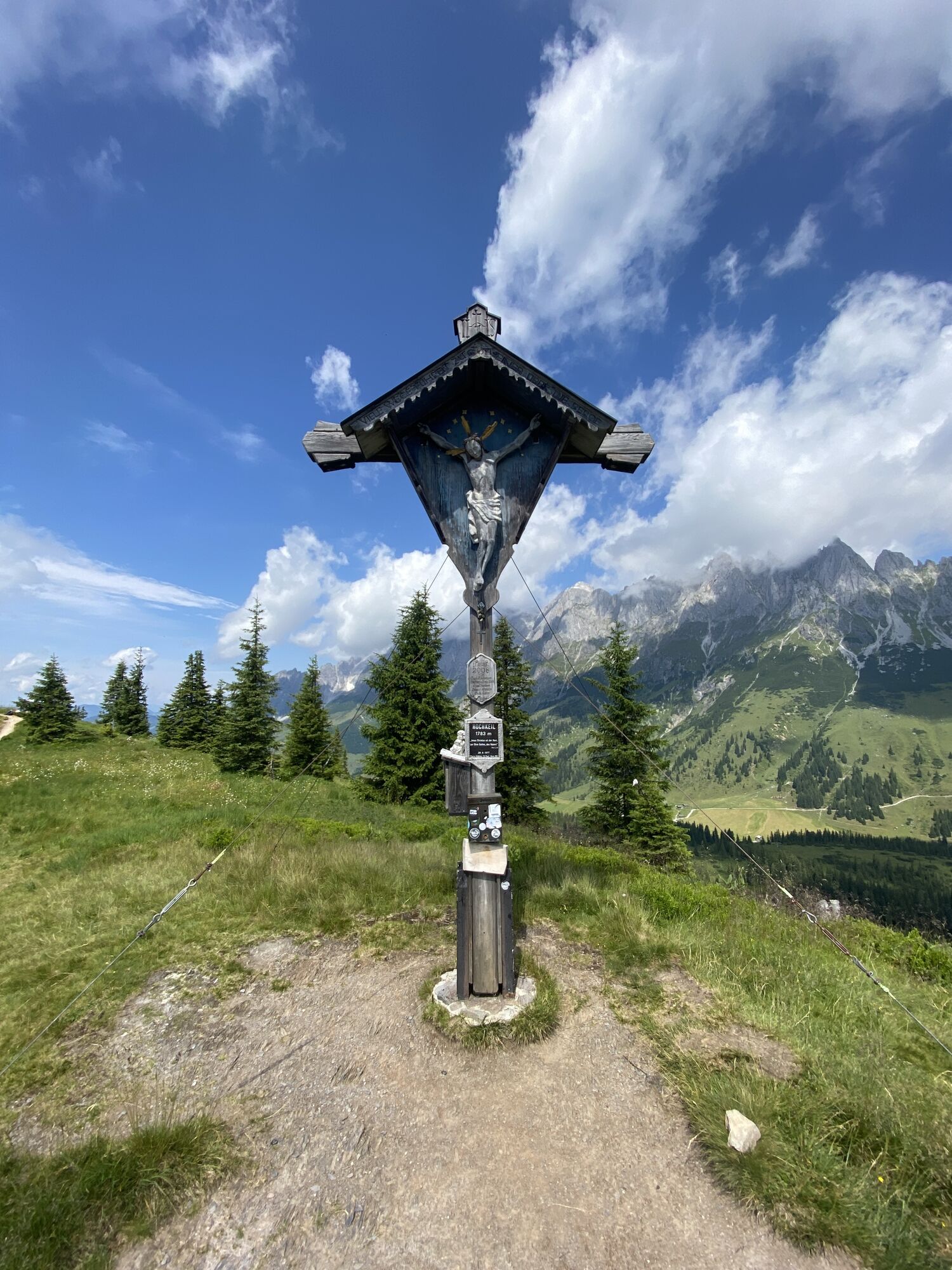
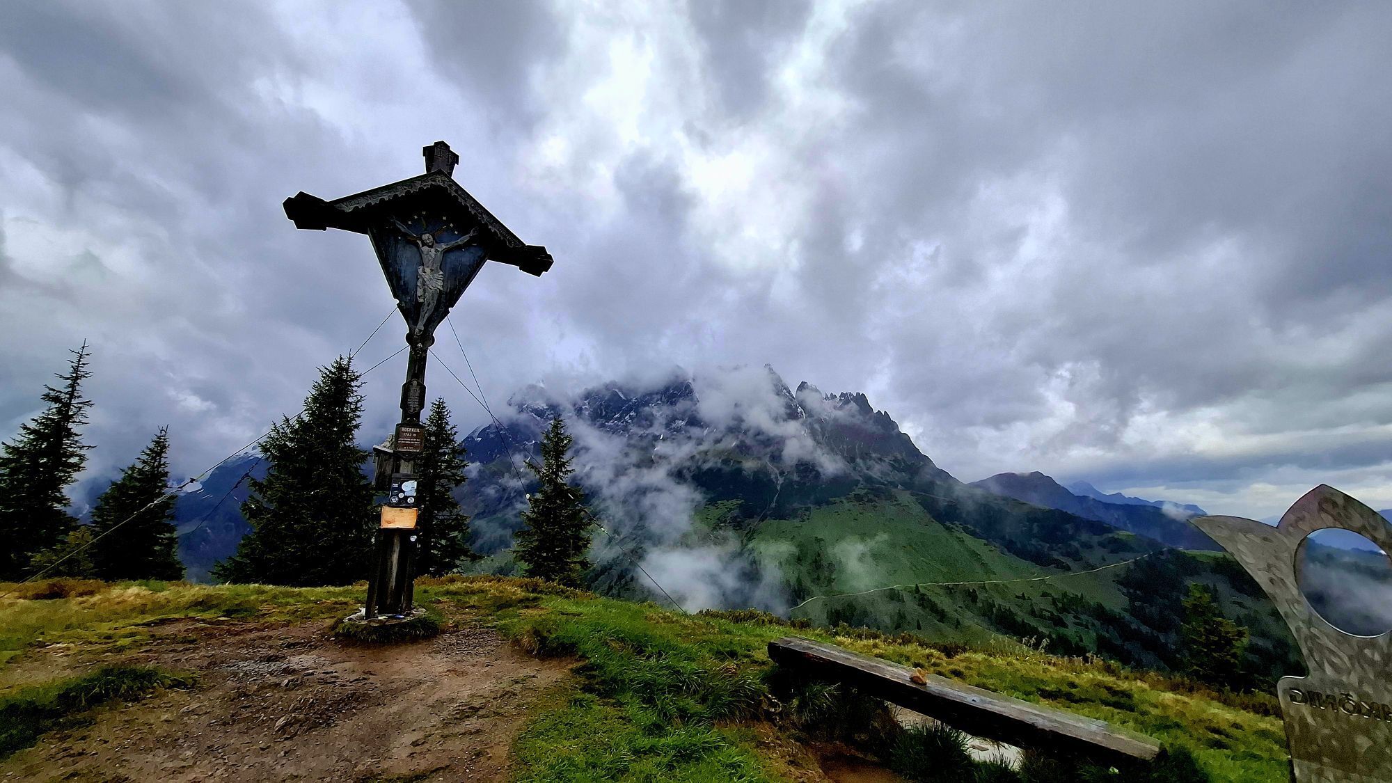
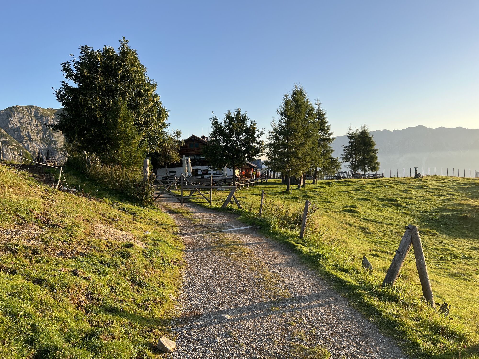
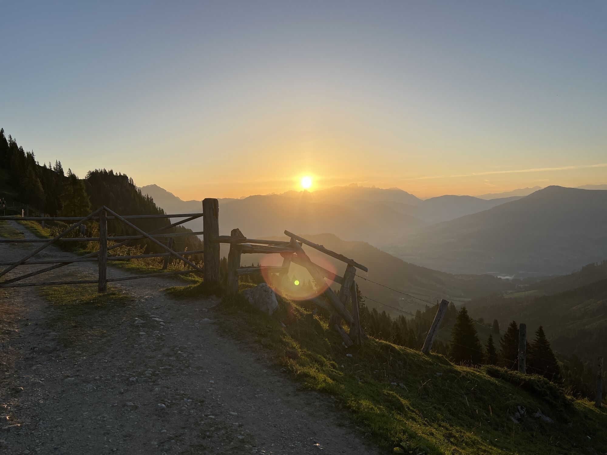
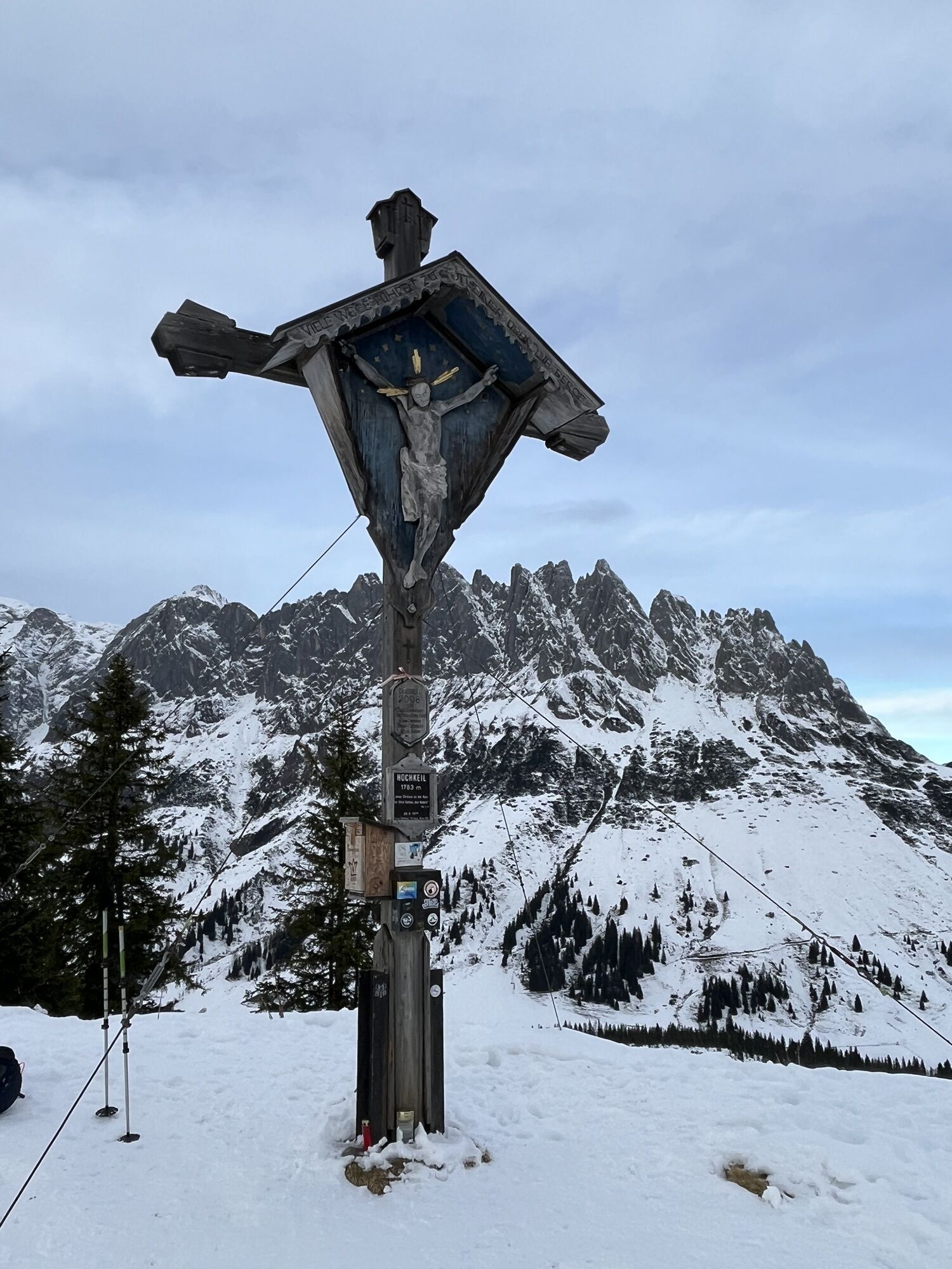
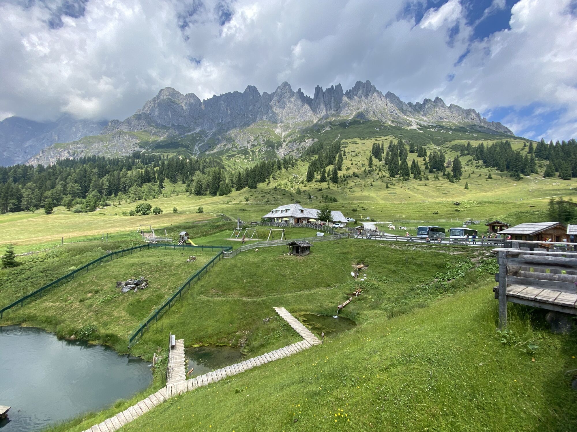
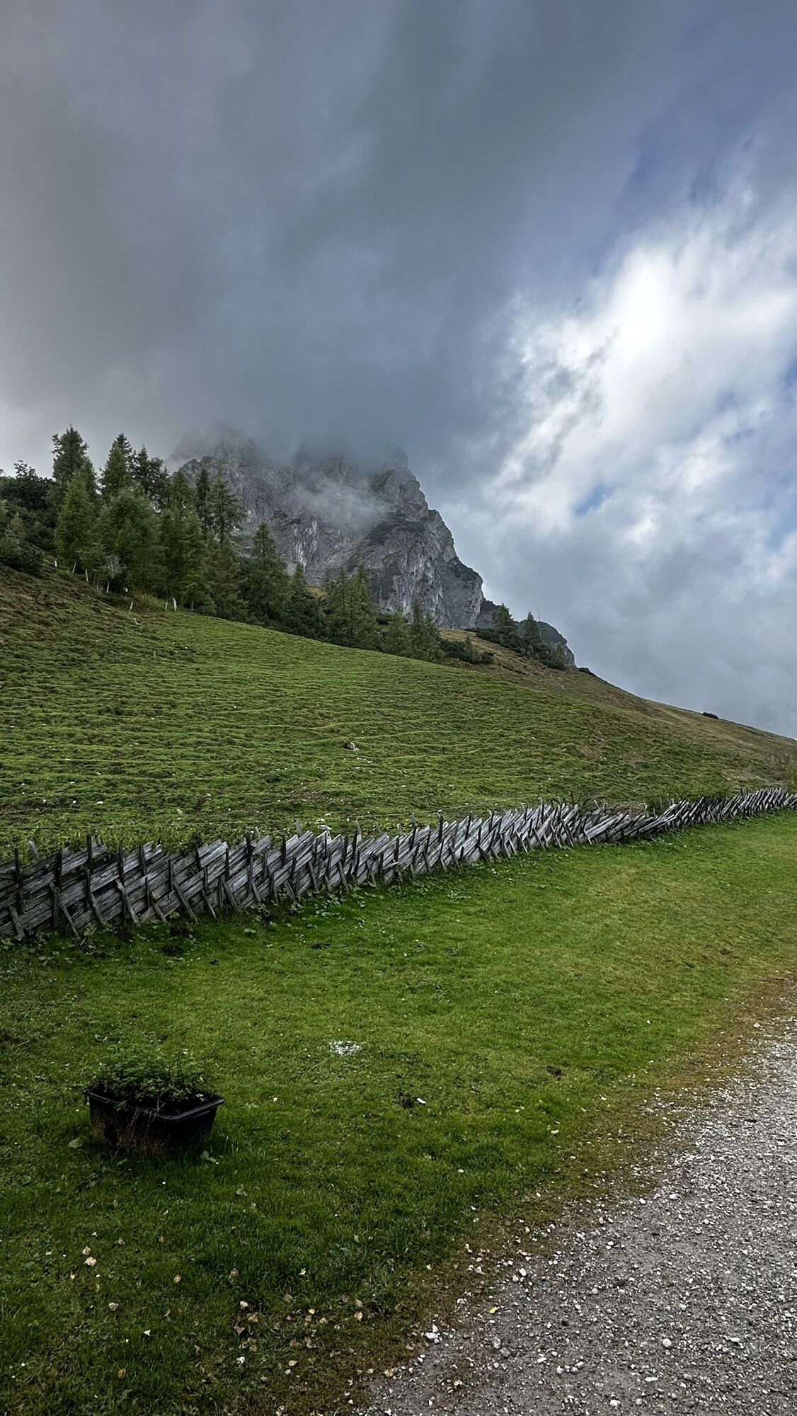
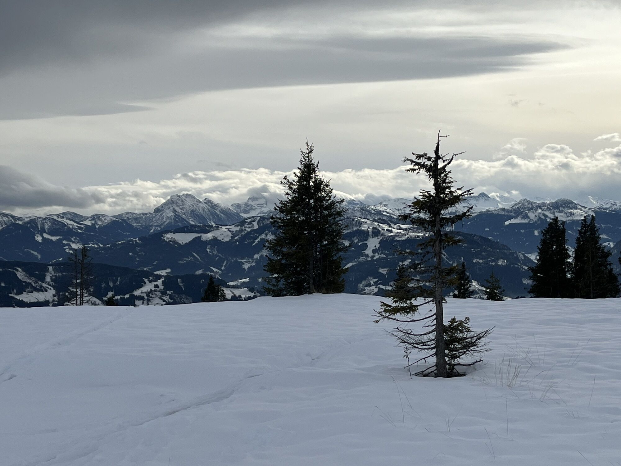
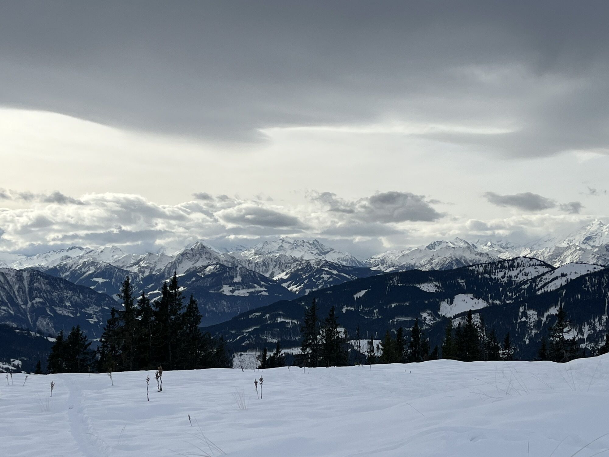
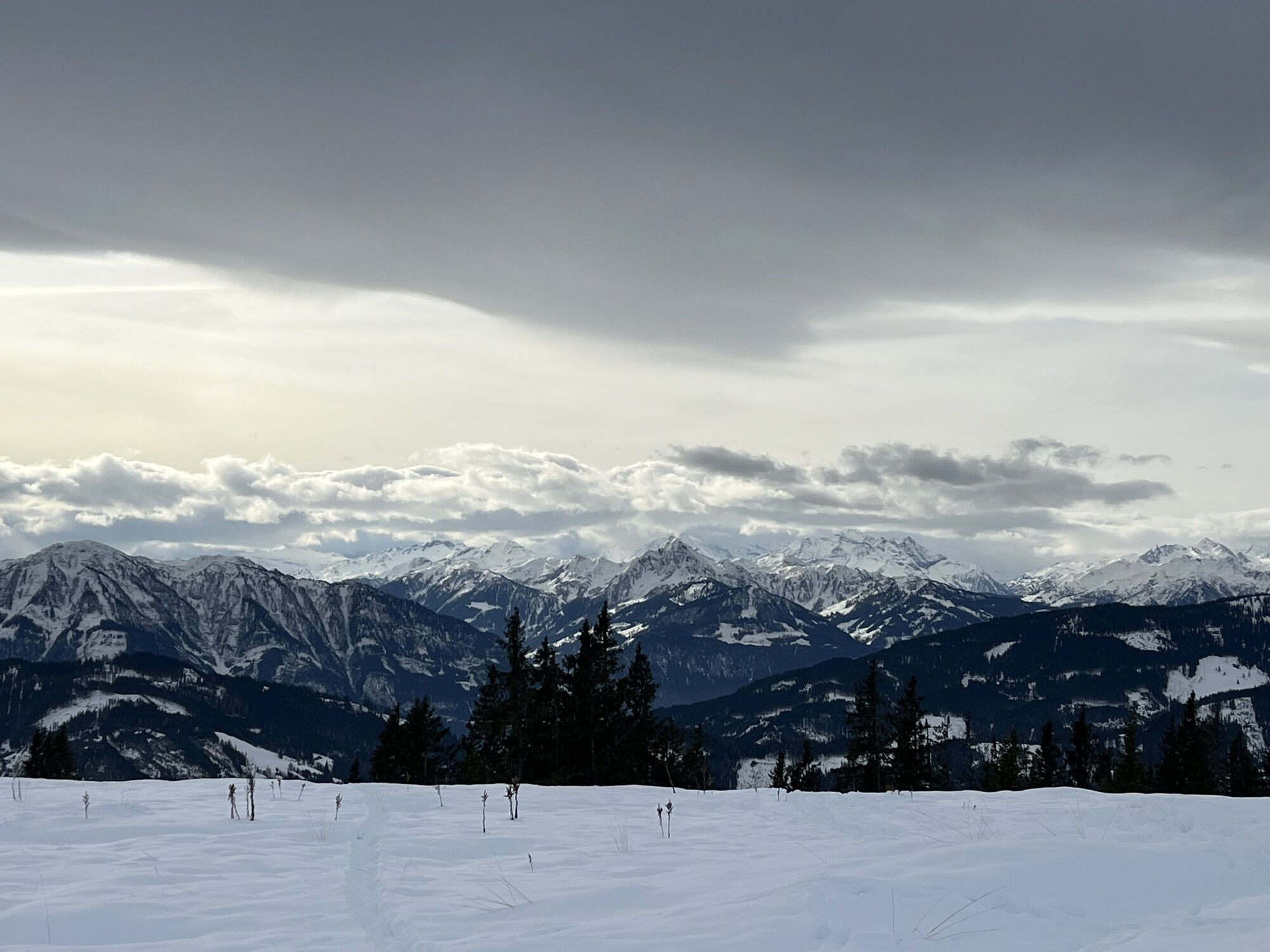
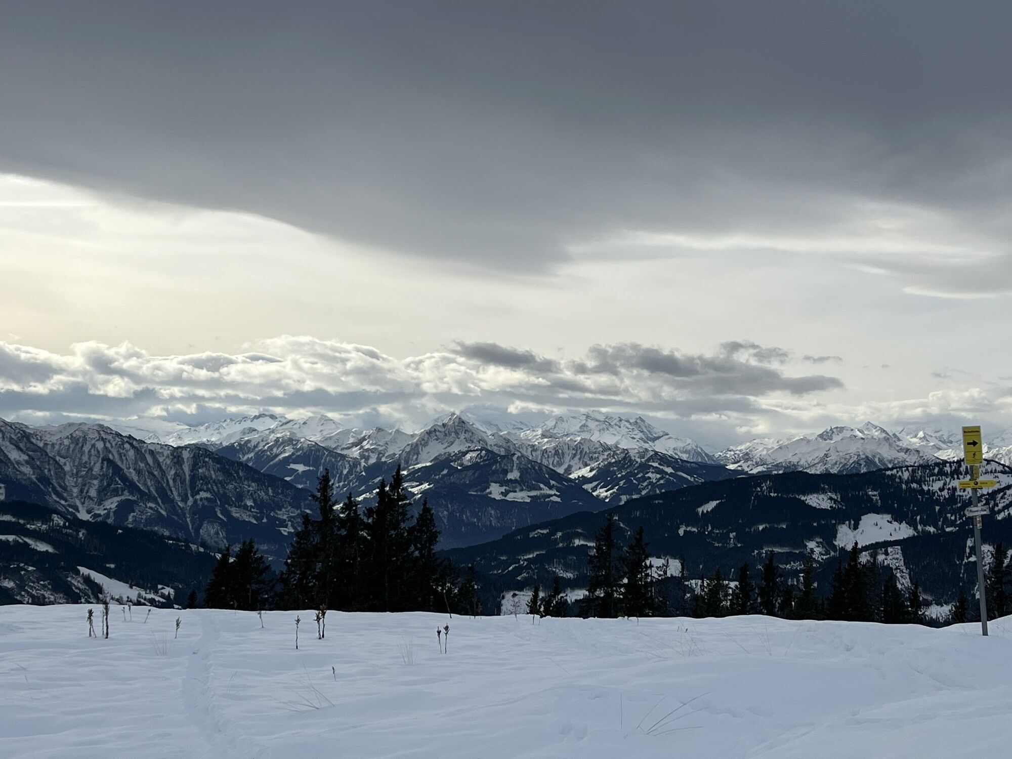
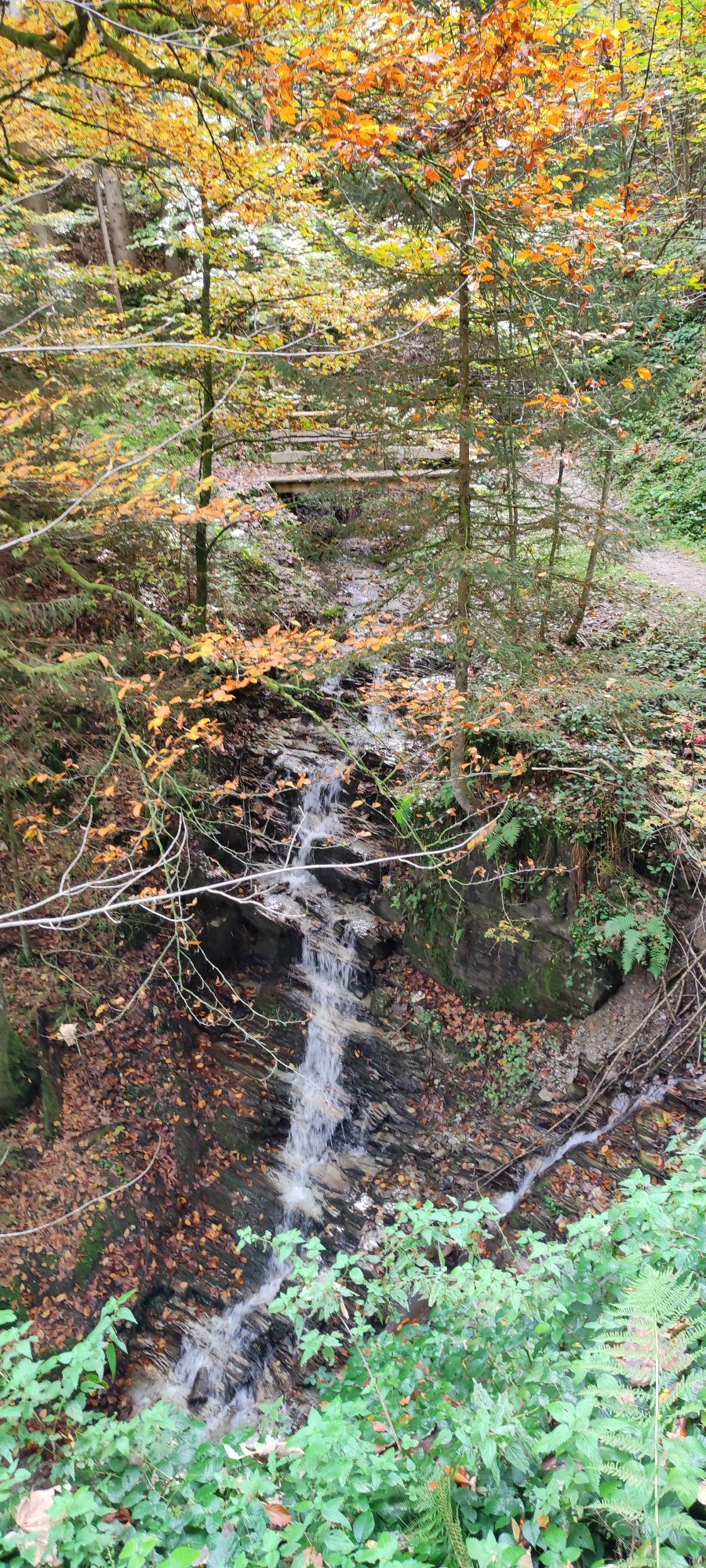
Photos from our users
-
 © Jakob KCreated on 05.07.2025
 -

 © JordyCreated on 29.05.2025
 -

 © Rainer Prügger 1Created on 19.08.2023
 -
 © Rainer Prügger 1Created on 19.08.2023
 -
 © Jürgen ClementCreated on 03.12.2022
 -
 © Jakob KCreated on 05.07.2025
 -
 © JordyCreated on 29.05.2025
 -
 © Guido StoffCreated on 10.06.2024
 -
 © Thomas DewitzCreated on 30.09.2023
 -
 © Thomas DewitzCreated on 30.09.2023
 -
 © Thomas DewitzCreated on 30.09.2023
 -
 © Thomas DewitzCreated on 30.09.2023
 -
 © Thomas DewitzCreated on 30.09.2023
 -
 © Thomas DewitzCreated on 30.09.2023
 -
 © Thomas DewitzCreated on 30.09.2023
 -
 © Thomas DewitzCreated on 30.09.2023
 -
 © Thomas DewitzCreated on 30.09.2023
 -
 © Jürgen ClementCreated on 03.12.2022
 -
 © Jürgen ClementCreated on 03.12.2022
 -
 © Jürgen ClementCreated on 03.12.2022
 -
 © Jürgen ClementCreated on 03.12.2022
 -
 © Jürgen ClementCreated on 03.12.2022
 -
 © Jürgen ClementCreated on 03.12.2022
 -
 © Hans-Jürgen RieplerCreated on 08.10.2022
 -
 © Hans-Jürgen RieplerCreated on 08.10.2022


Route
Gasthof Bürglhöh
(795 m)
Restaurant
0,0 km
Haidberg
(1.039 m)
Village
3,7 km
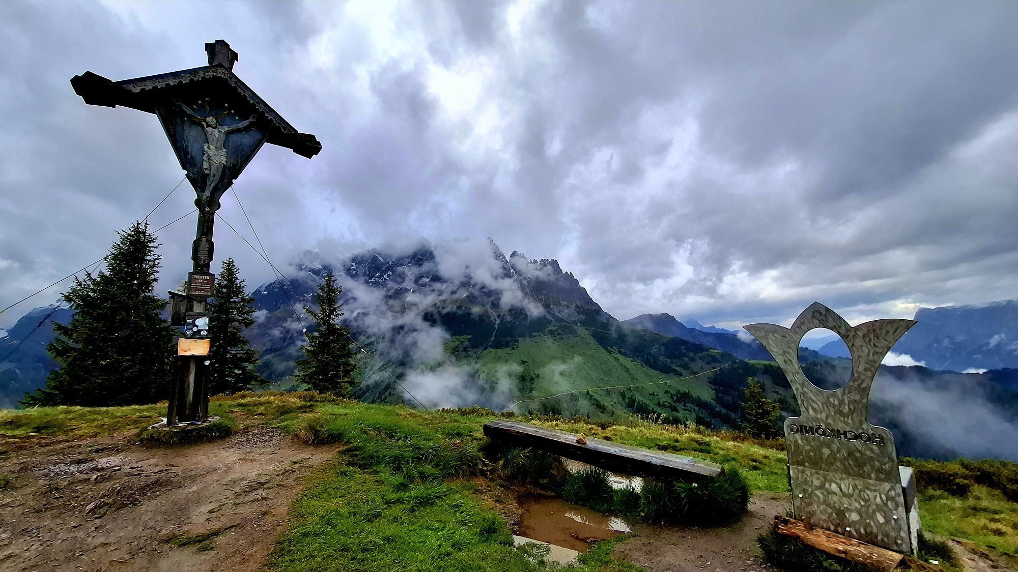
Hochkeil
(1.784 m)
Summit
8,4 km
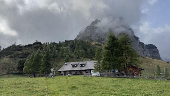
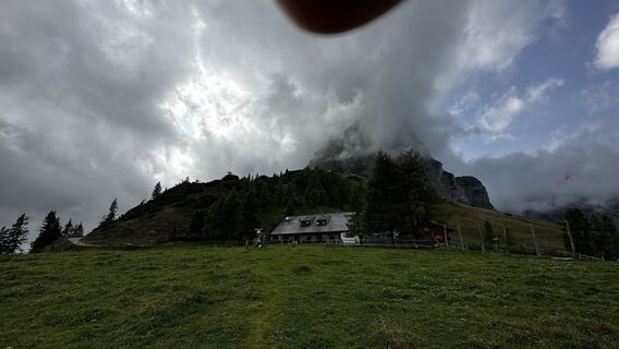
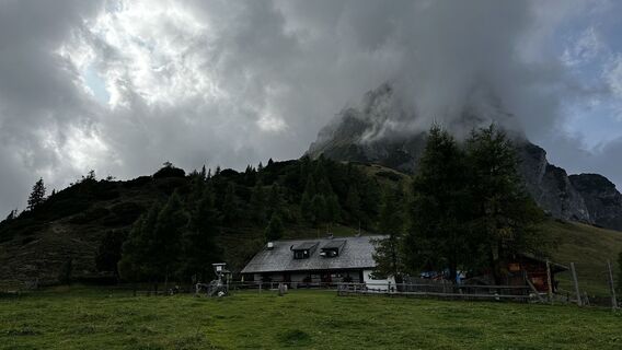
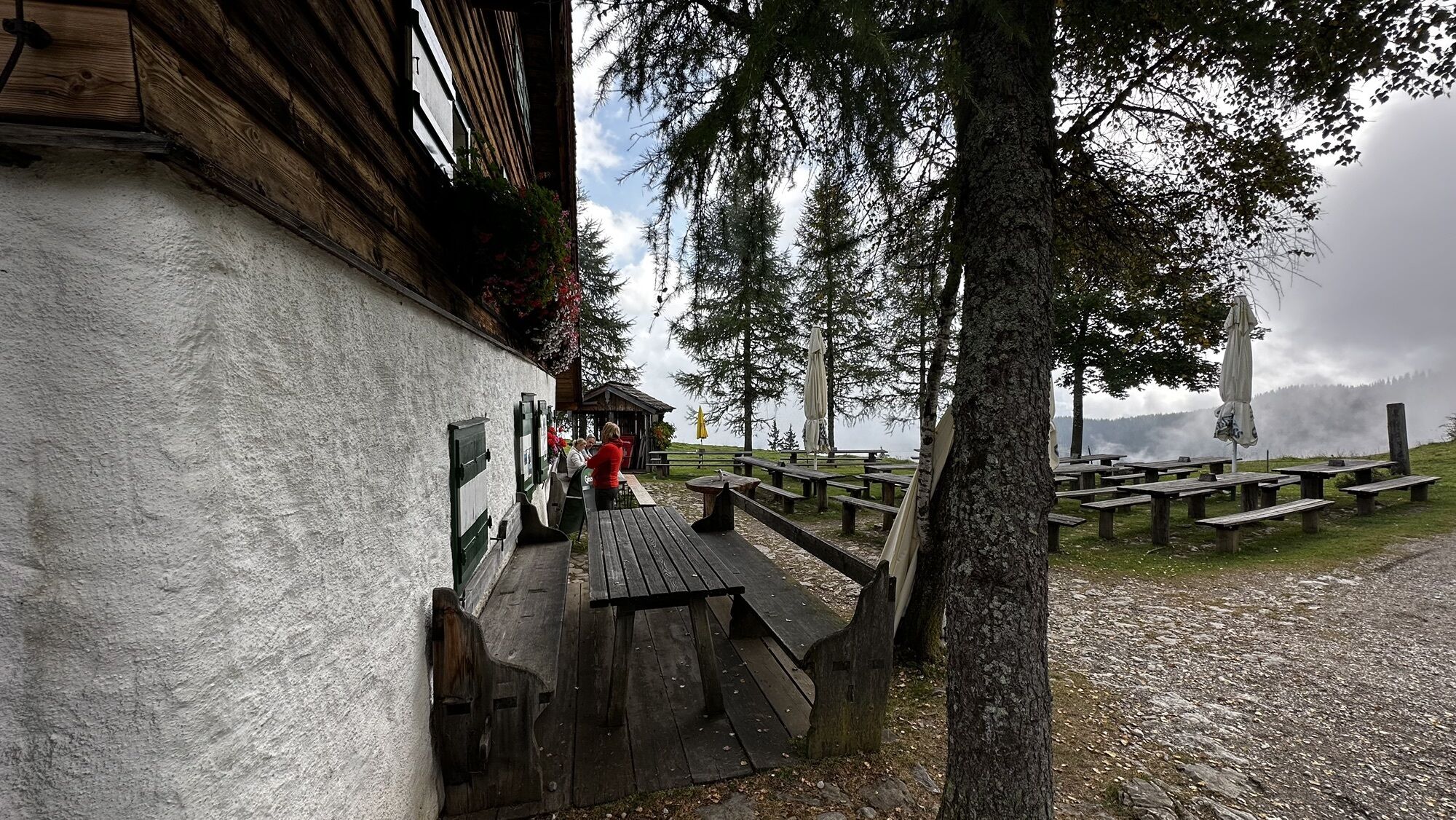
Arthurhaus
(1.500 m)
Restaurant
11,1 km
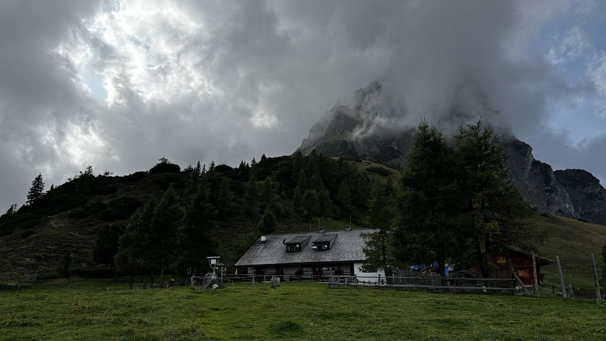
Sennerei Schweizerhütte
(1.505 m)
Restaurant
11,2 km
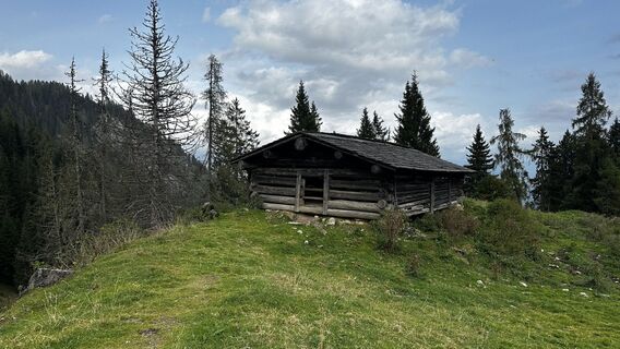
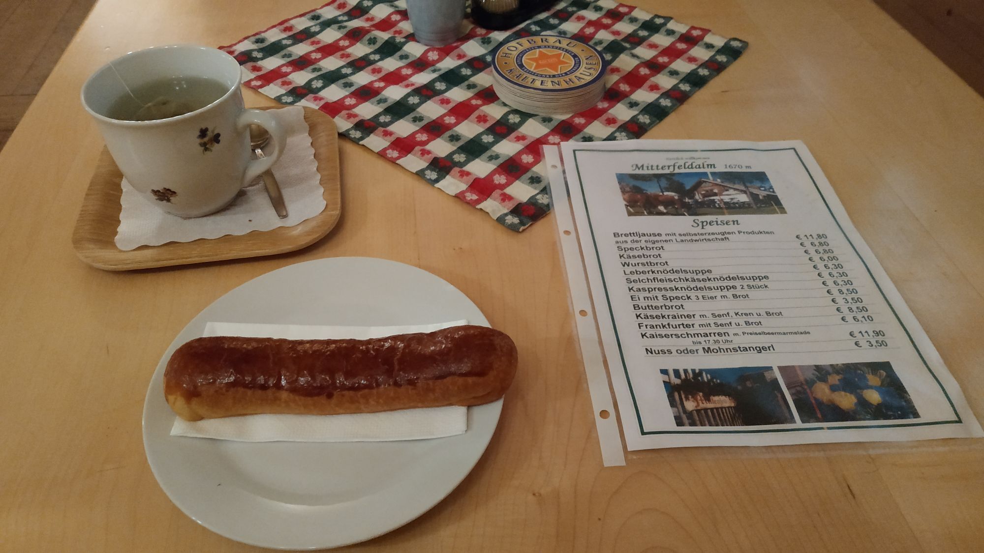
Mitterfeldalm
(1.669 m)
Shelter
13,1 km
Gainfeld
(875 m)
Village
17,9 km
Route
Gasthof Bürglhöh - Vorderkeil - Hochkeil - Mitterfeldalm
heavy
Pješačenje
19,93
km
Gasthof Bürglhöh
(795 m)
Restaurant
0,0 km
Haidberg
(1.039 m)
Village
3,7 km
Vorderkeil
(1.573 m)
Summit
6,8 km
Hochkeil
(1.784 m)
Summit
8,4 km
Arthurhaus
(1.500 m)
Restaurant
11,1 km
Sennerei Schweizerhütte
(1.505 m)
Restaurant
11,2 km
Mitterfeldalm
(1.669 m)
Shelter
13,1 km
Gainfeld
(875 m)
Village
17,9 km
Gasthof Bürglhöh
(795 m)
Restaurant
19,9 km
No reviews yet
Popular tours in the neighbourhood
-
4,8
Summit storming route Taghaube
heavyPješačenje 6,25 km -
4,9
Hochkönig - Gipfel der Gefühle - Matrashaus
heavyPješačenje 20,9 km -
3,8
Hochkönig summit route - main ascent
heavyPješačenje 18,1 km -
4,7
Panorama hike to the Hochkeil
mediumPješačenje 6,07 km -
4,8
Summit stormer route Lauskopf
heavyPješačenje 8,16 km -
3,6
Wanderung zur Ostpreußenhütte in Werfen (1.630 m)
mediumPješačenje 11,2 km -
4,7
About the "Four Huts circular route" to Windraucheggalm
mediumPješačenje 10,1 km -
3,7
Auf die Ostpreussenhütte
mediumPješačenje 16,6 km -
3,9
Mühlbacher Höhenweg
mediumPješačenje 11,2 km -
4,8
Großarl: Mooslehenalm – Niggeltalalm – Viehhausalm
mediumPješačenje 5,44 km
bergfex Tours

Over 550.000 tour suggestions, detailed maps and an intuitive route planner make the app a must-have for all nature enthusiasts.

Ne propustite ponude i inspiraciju za vaš sljedeći odmor
Subscribe to the newsletter
Error
An error has occurred. Please try again.
Thank you for your registration
Your e-mail address has been added to the mailing list.
Tours throughout Europe
Austrija
Švicarska
Njemačka
Italija
Slovenija
Francuska
Nizozemska
Belgija
Poljska
Lihtenštajn
Češka
Slovačka
Španija
Hrvatska
Bosna i Hercegovina
Luksemburg
Andora
Portugal
Island
Ujedinjeno Kraljevstvo
Irska
Grčka
Albanija
Sjeverna Makedonija
Malta
Norveška
Crna Gora
Moldova
Kosovo
Mađarska
San Marino
Rumunjska
Estonija
Latvija
Bjelorusija
Cipar
Litva
Srbija
Bugarska
Monako
Danska
Švedska
Finska