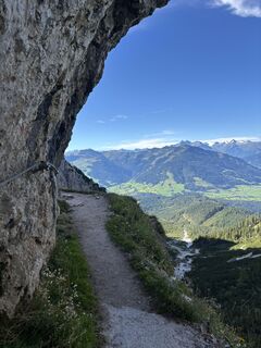
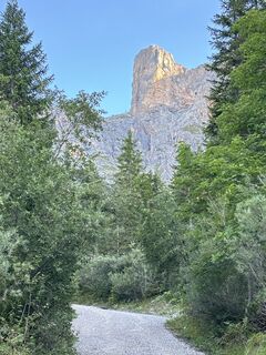
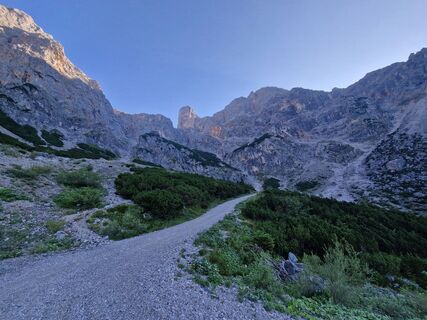
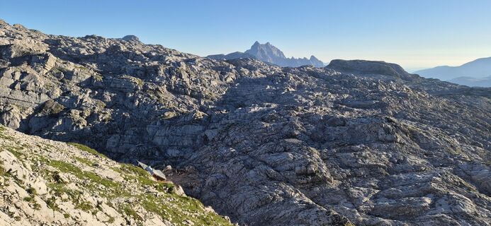
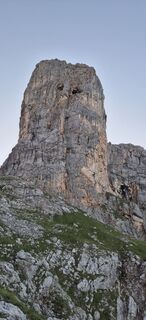
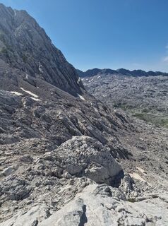
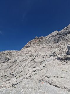
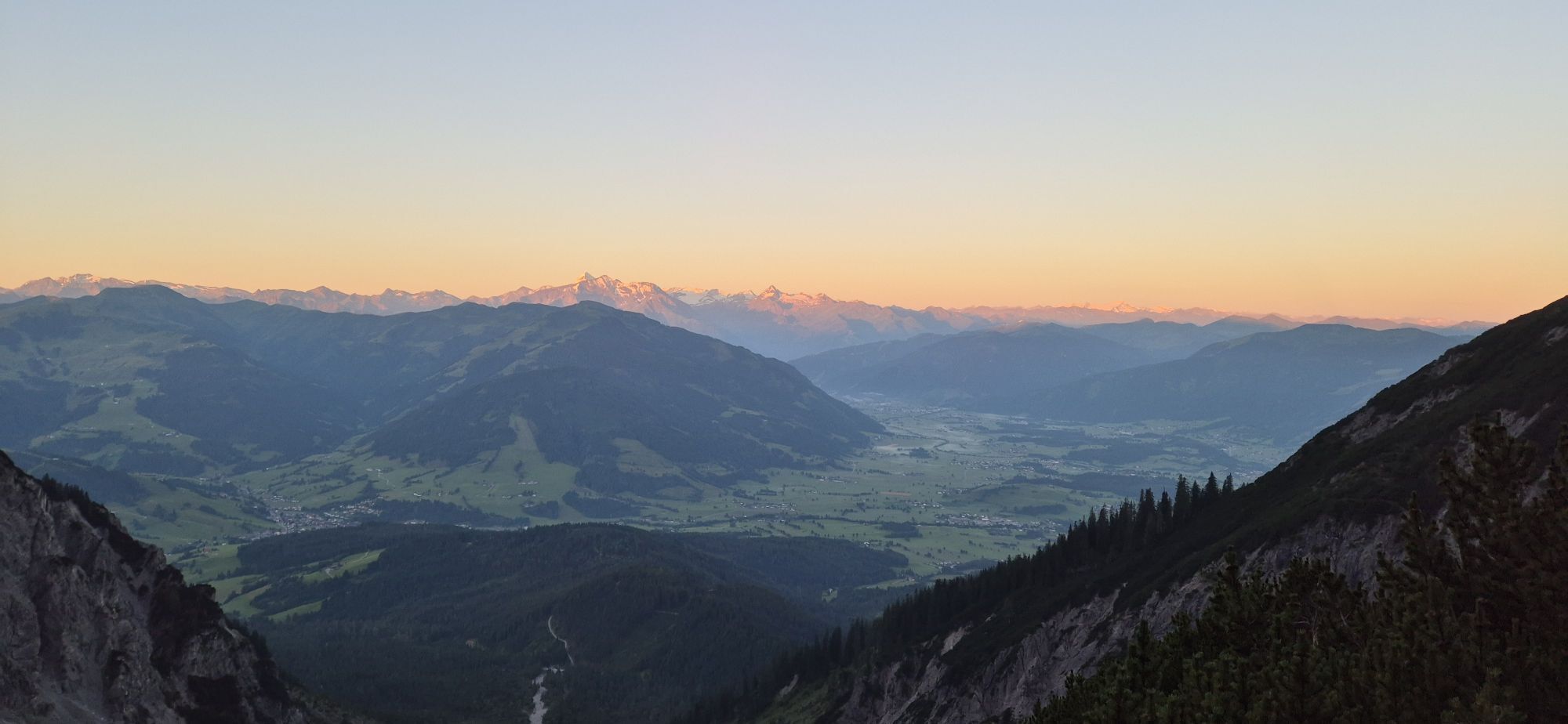
Schönfeldspitze ab Parkplatz Sandten
Pješačenje
Navigate
Navigate
Get this tour on your mobile
Schönfeldspitze ab Parkplatz Sandten
Pješačenje
12,02
km
Scan the QR code and start navigation in the bergfex app

Hiking & Tracking


Distance
12,02
km
Duration
-
h
Ascent
1.431
m
Sea level
1.179 -
2.632
m
Track download
Schönfeldspitze ab Parkplatz Sandten
Pješačenje
12,02
km


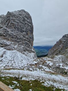
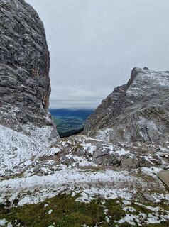
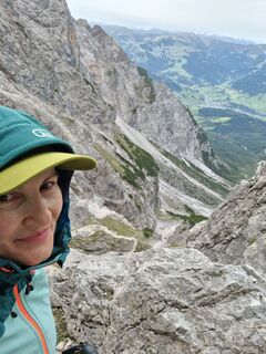
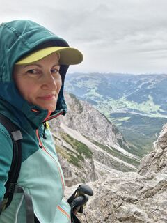
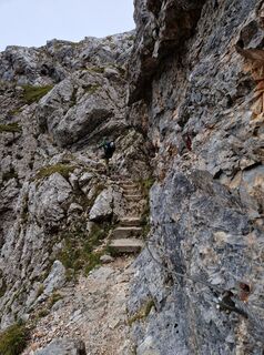
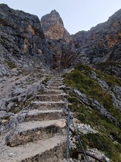
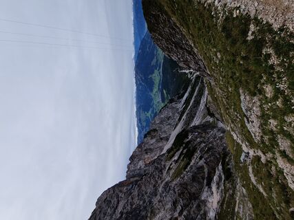
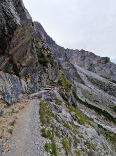
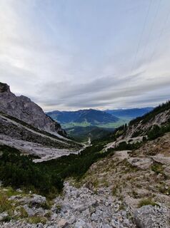
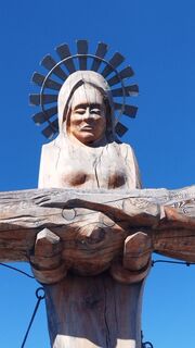
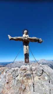
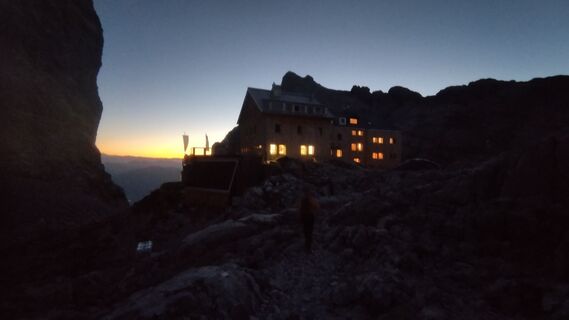
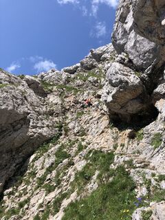
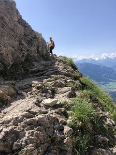
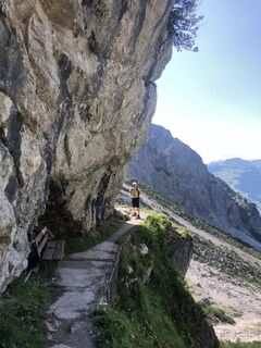
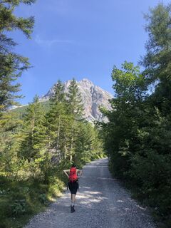
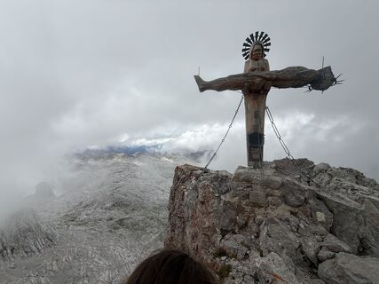
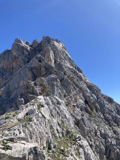
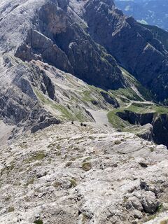
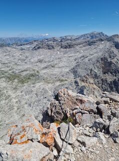
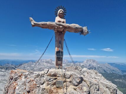
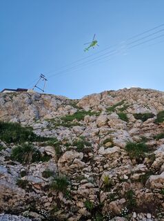
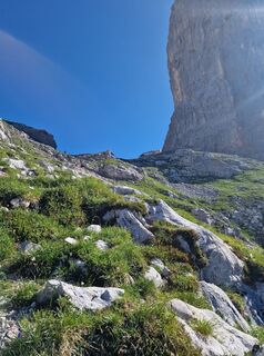
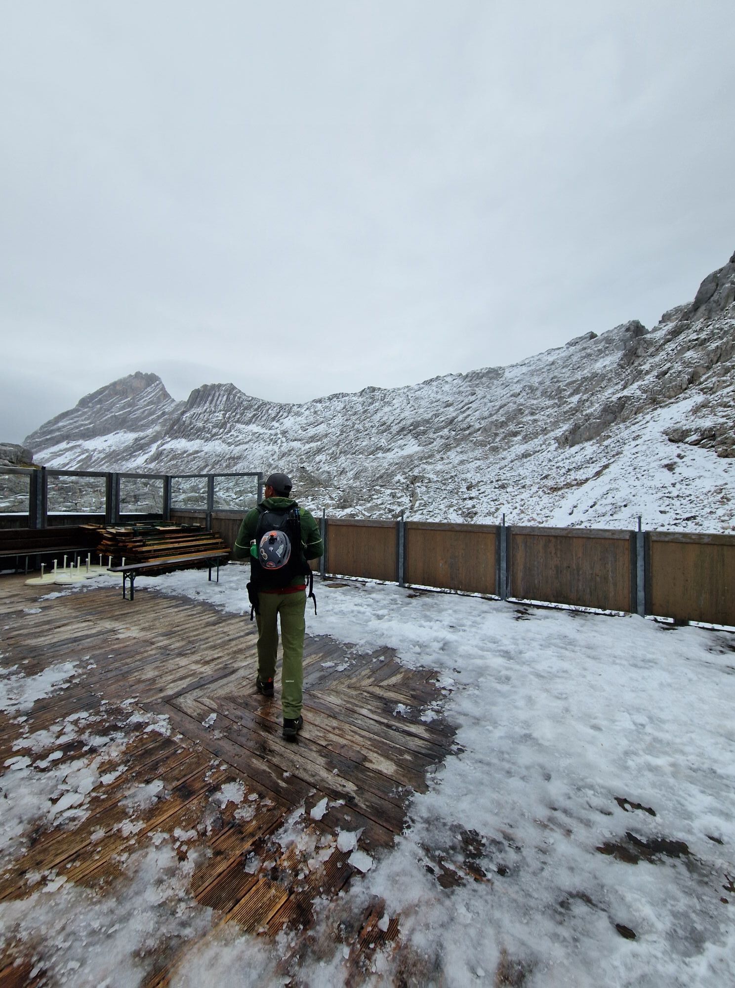
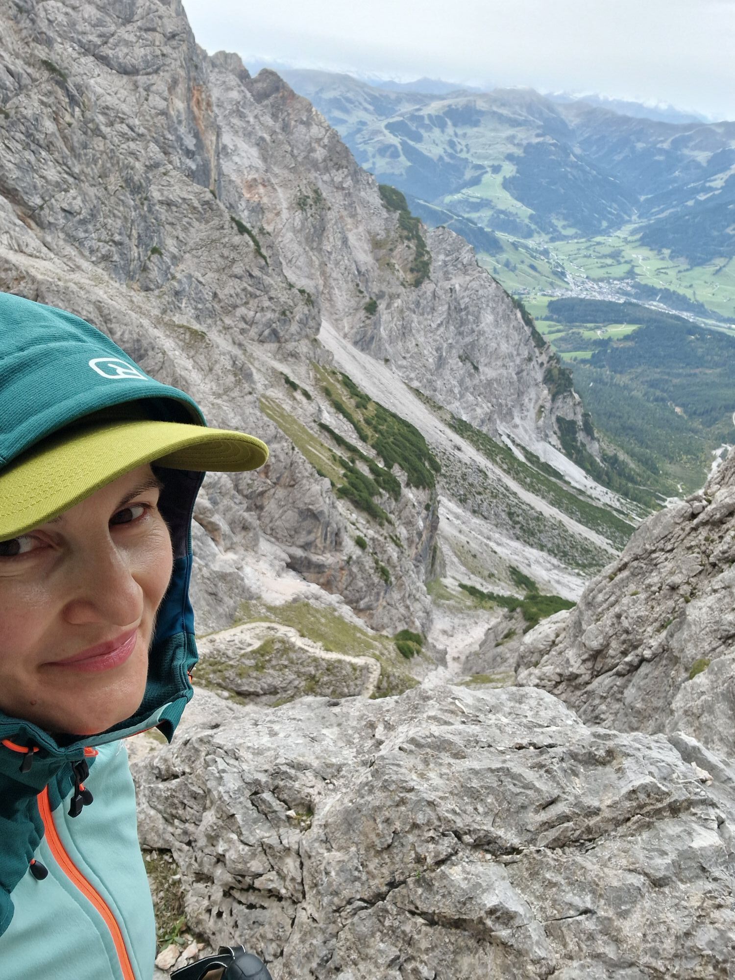
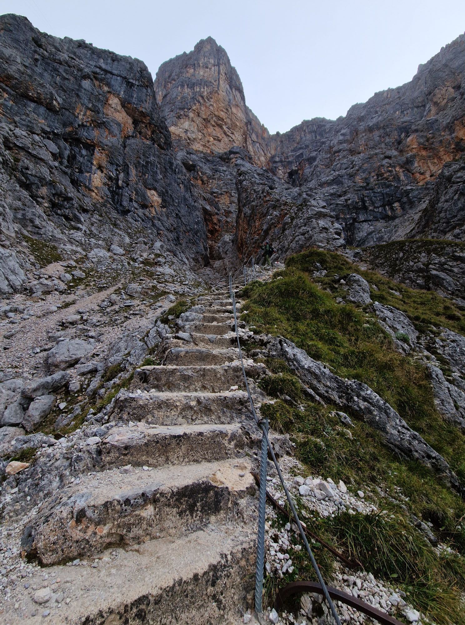
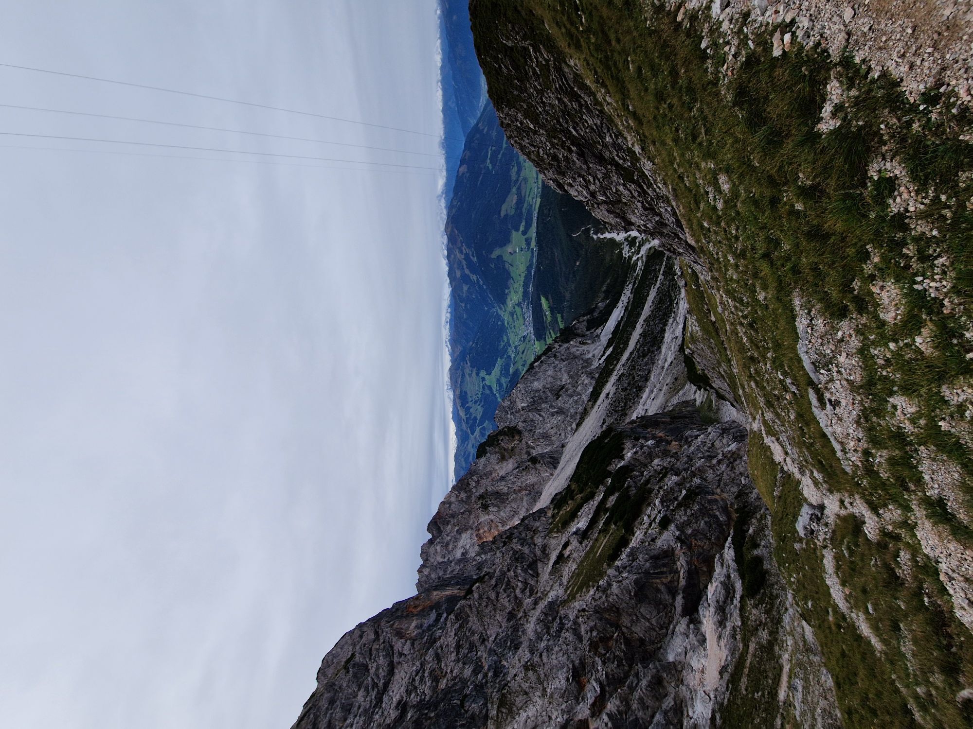
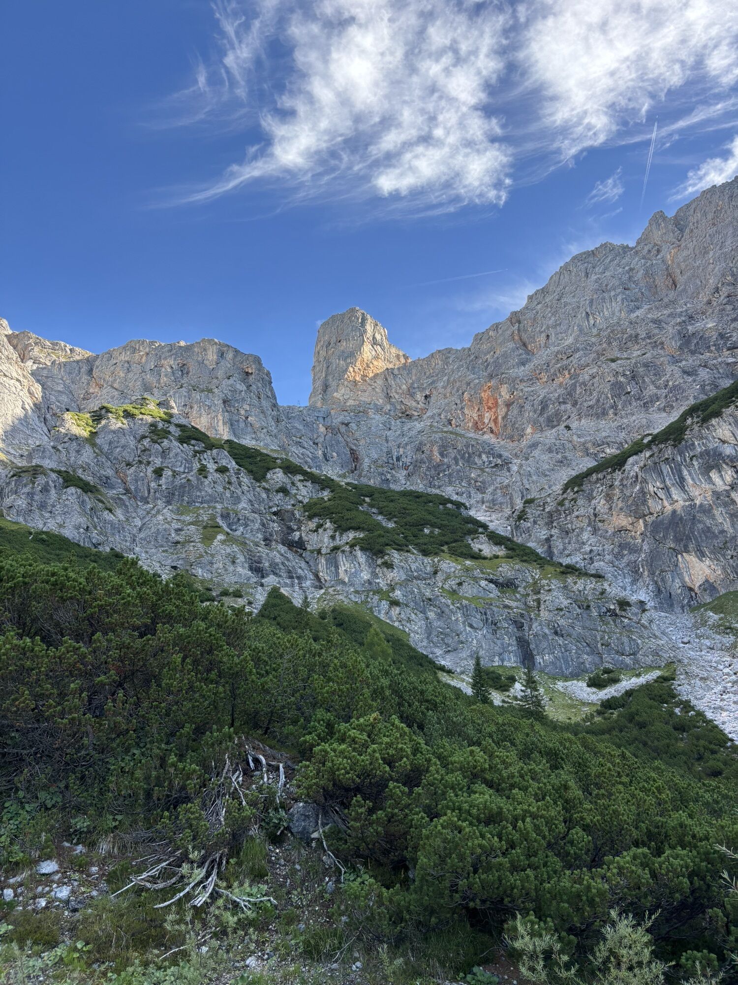
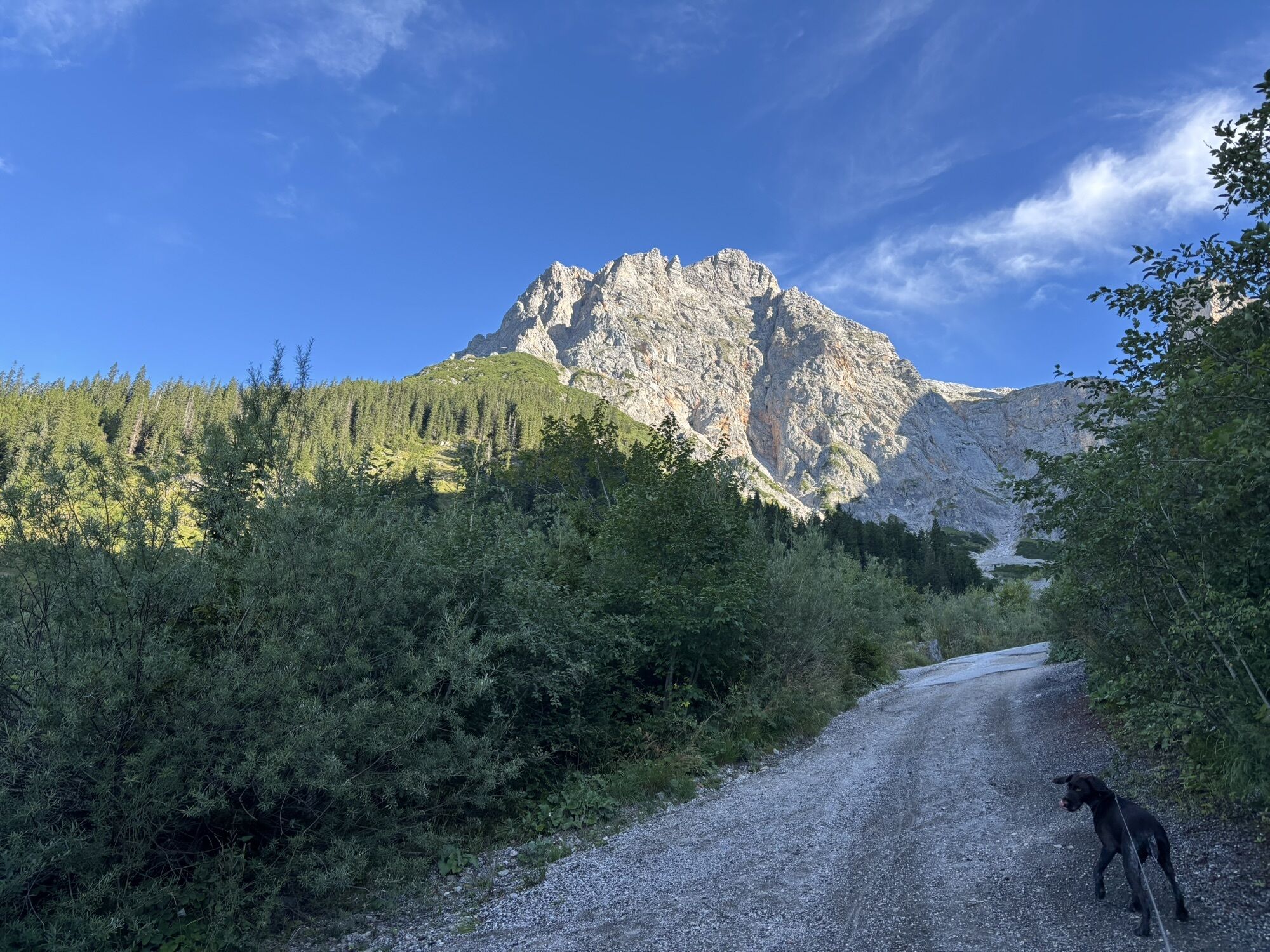
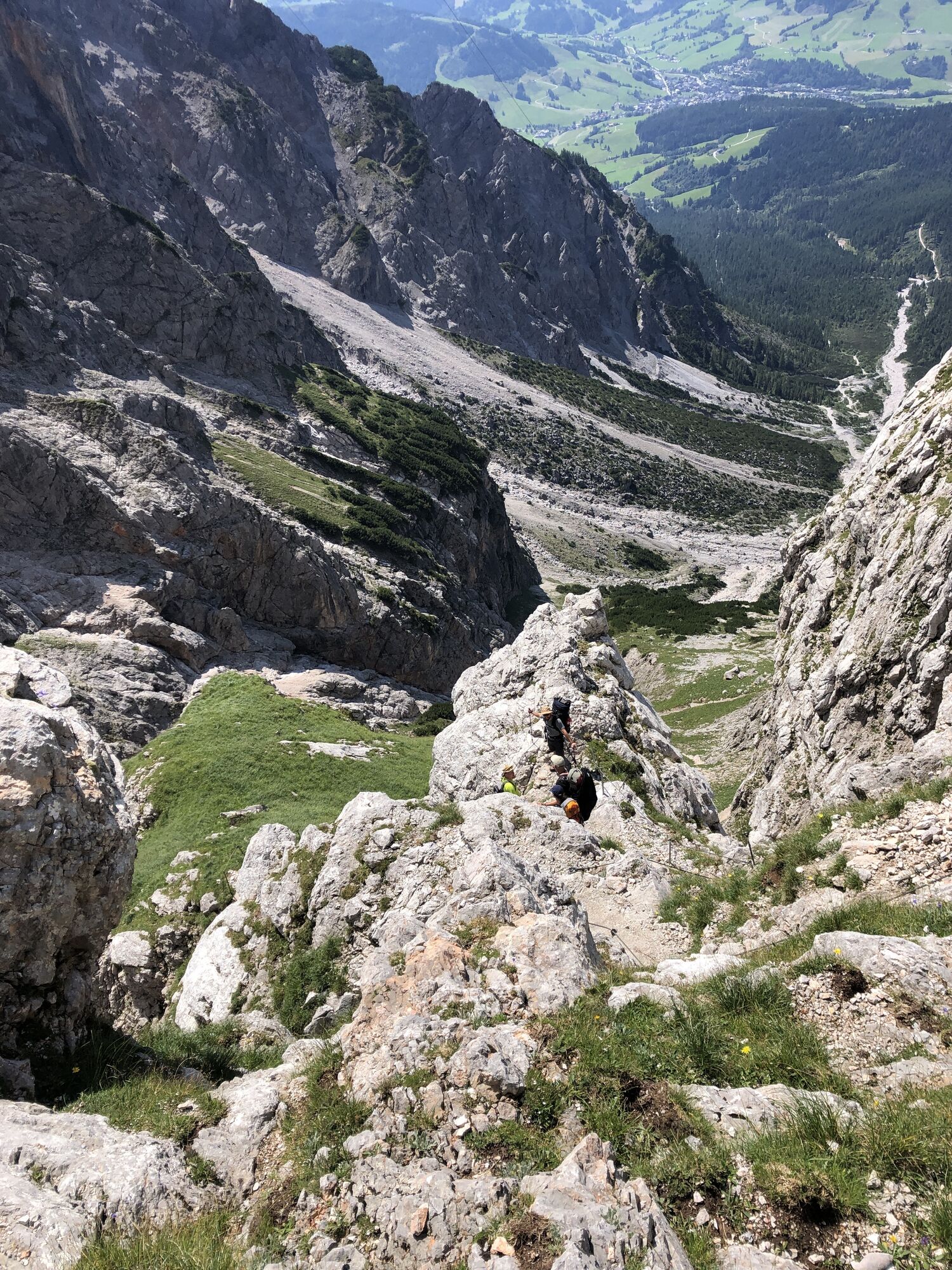
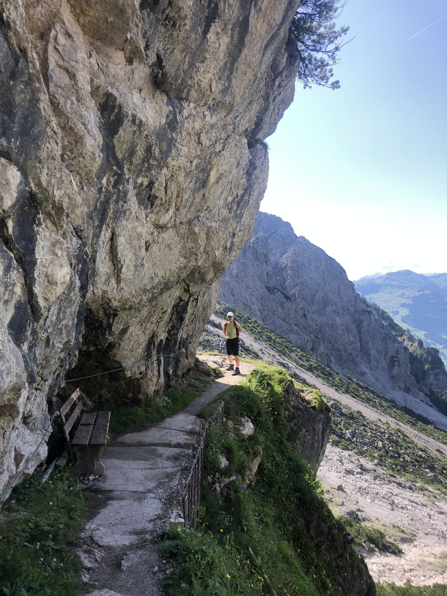
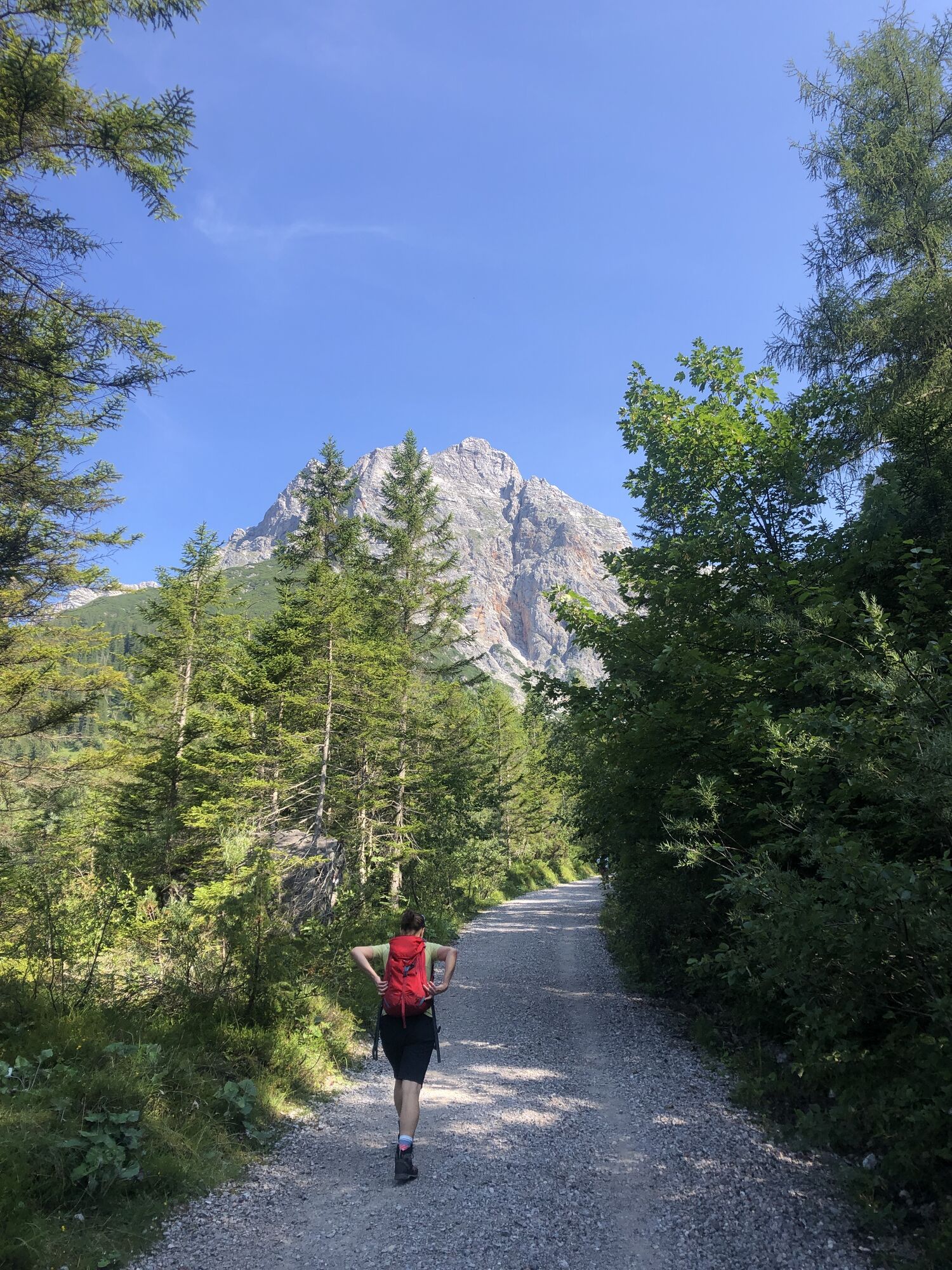
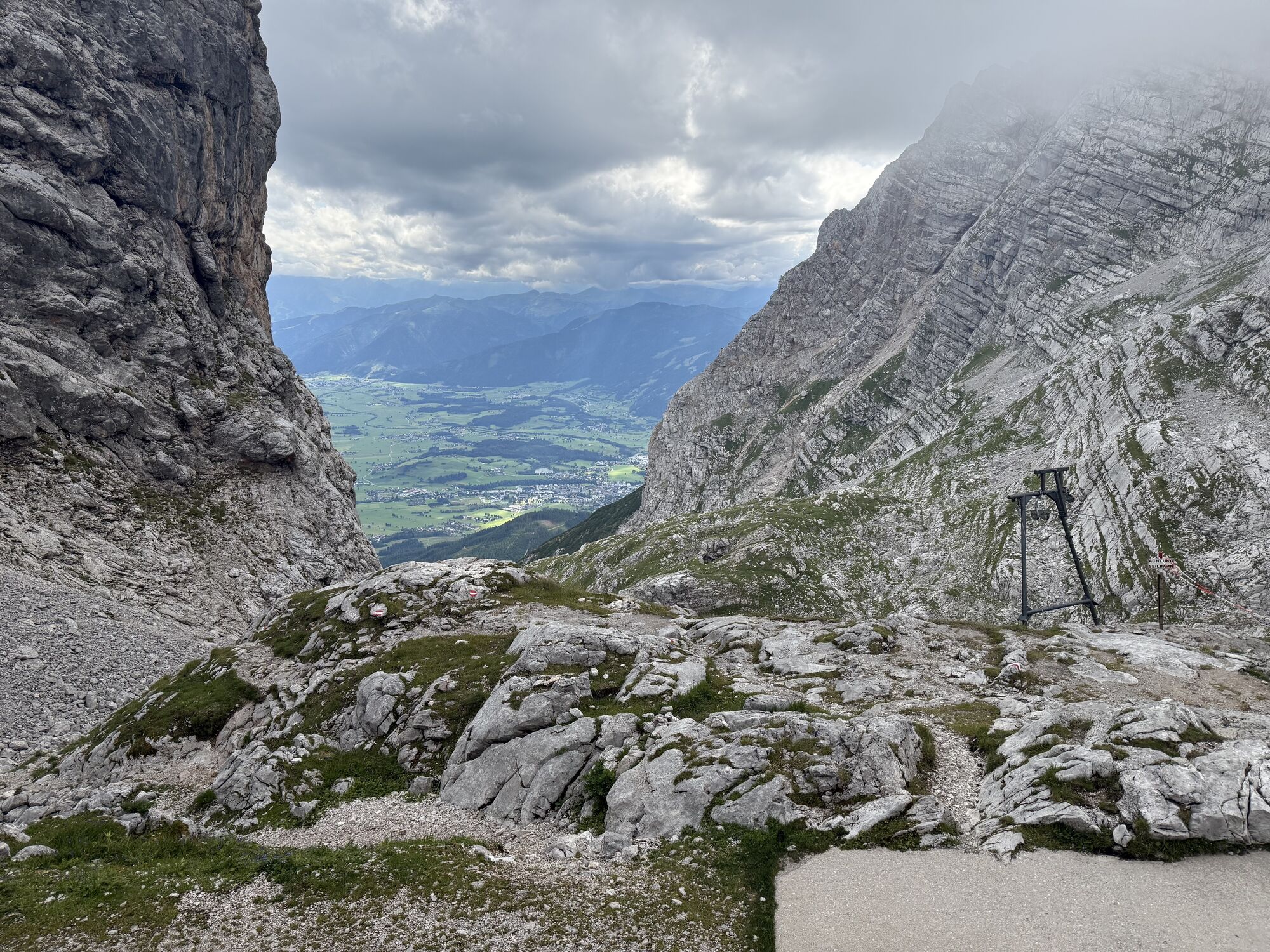
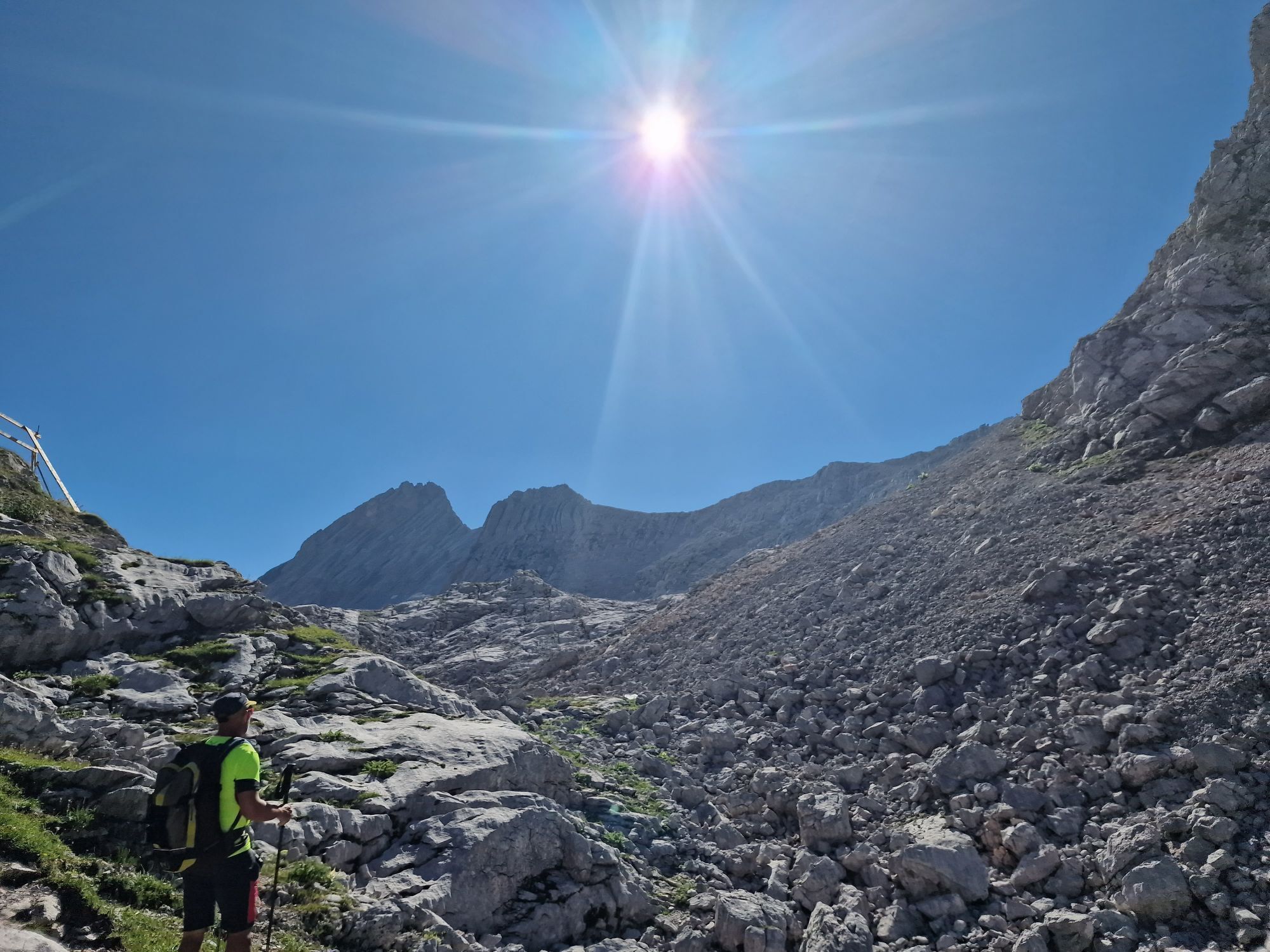
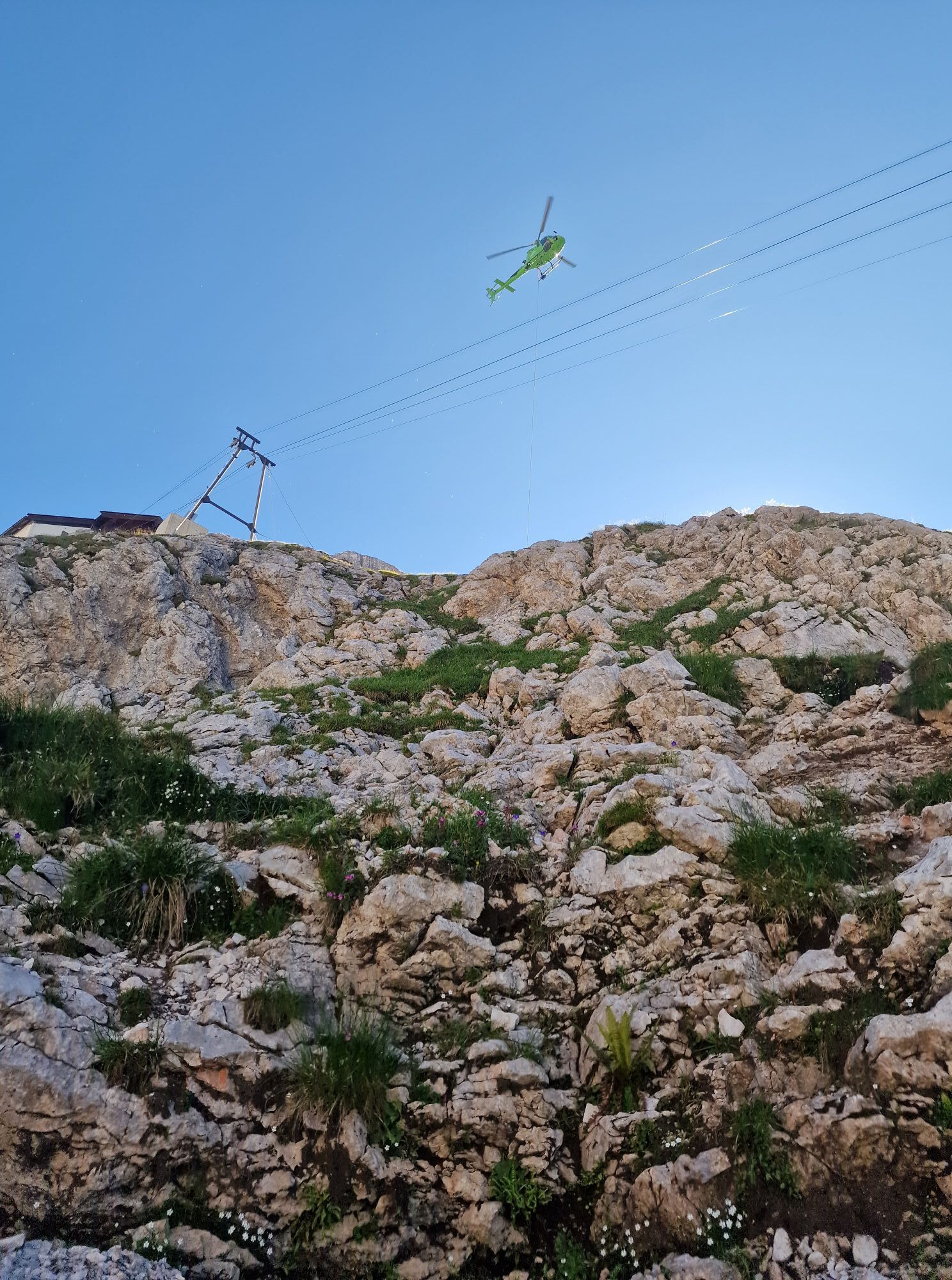
Photos from our users
-

 © Mariana MargaritCreated on 04.10.2025
 -
 © Mariana MargaritCreated on 04.10.2025
 -
 © Mariana MargaritCreated on 04.10.2025
 -
 © Mariana MargaritCreated on 04.10.2025
 -
 © Mariana MargaritCreated on 04.10.2025
 -
 © Mariana MargaritCreated on 04.10.2025
 -
 © Mariana MargaritCreated on 04.10.2025
 -
 © Mariana MargaritCreated on 04.10.2025
 -
 © Mariana MargaritCreated on 04.10.2025
 -
 © Mariana MargaritCreated on 04.10.2025
 -
 © Mariana MargaritCreated on 04.10.2025
 -
 © Mariana MargaritCreated on 04.10.2025
 -
 © Mariana MargaritCreated on 04.10.2025
 -
 © Christine KullmerCreated on 20.09.2025
 -
 © Christine KullmerCreated on 20.09.2025
 -
 © Christine KullmerCreated on 19.09.2025
 -

 © Markus BrichtaCreated on 01.09.2025
 -
 © Markus BrichtaCreated on 01.09.2025
 -
 © Markus BrichtaCreated on 01.09.2025
 -
 © Markus BrichtaCreated on 01.09.2025
 -
 © Markus BrichtaCreated on 01.09.2025
 -
 © Markus BrichtaCreated on 01.09.2025
 -
 © Michaela SchwaigerCreated on 15.08.2025
 -
 © Michaela SchwaigerCreated on 15.08.2025
 -

 © Lukas AmesederCreated on 08.08.2025
 -
 © Lukas AmesederCreated on 08.08.2025
 -

 © AndreassprintCreated on 07.08.2025
 -
 © AndreassprintCreated on 07.08.2025
 -
 © AndreassprintCreated on 07.08.2025
 -
 © AndreassprintCreated on 07.08.2025
 -
 © AndreassprintCreated on 07.08.2025
 -

 © Nenad LukicCreated on 22.07.2025
 -
 © Nenad LukicCreated on 22.07.2025
 -
 © Norbert DanzerCreated on 19.07.2025
 -
 © Norbert DanzerCreated on 19.07.2025
 -
 © AfaCreated on 19.07.2025
 -
 © AfaCreated on 19.07.2025
 -
 © AfaCreated on 19.07.2025
 -
 © AfaCreated on 19.07.2025
 -
 © Isabella Schwaiger-MoserCreated on 30.07.2024
 -
 © Isabella Schwaiger-MoserCreated on 30.07.2024
 -
 © Isabella Schwaiger-MoserCreated on 30.07.2024
 -
 © Isabella Schwaiger-MoserCreated on 30.07.2024
 -
 © Isabella Schwaiger-MoserCreated on 30.07.2024
 -
 © Isabella Schwaiger-MoserCreated on 30.07.2024
 -
 © Isabella Schwaiger-MoserCreated on 30.07.2024
 -
 © Isabella Schwaiger-MoserCreated on 30.07.2024
 -
 © Isabella Schwaiger-MoserCreated on 30.07.2024


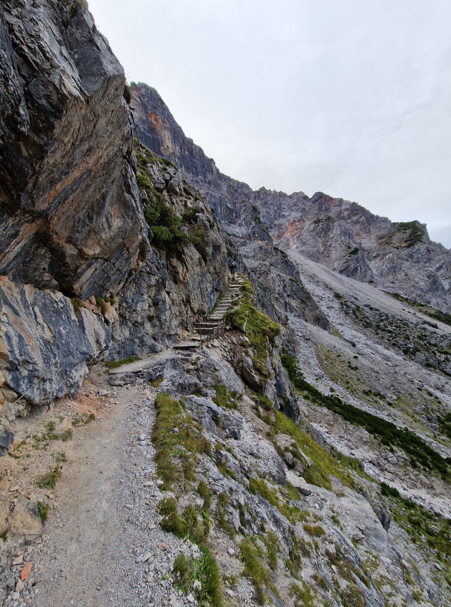
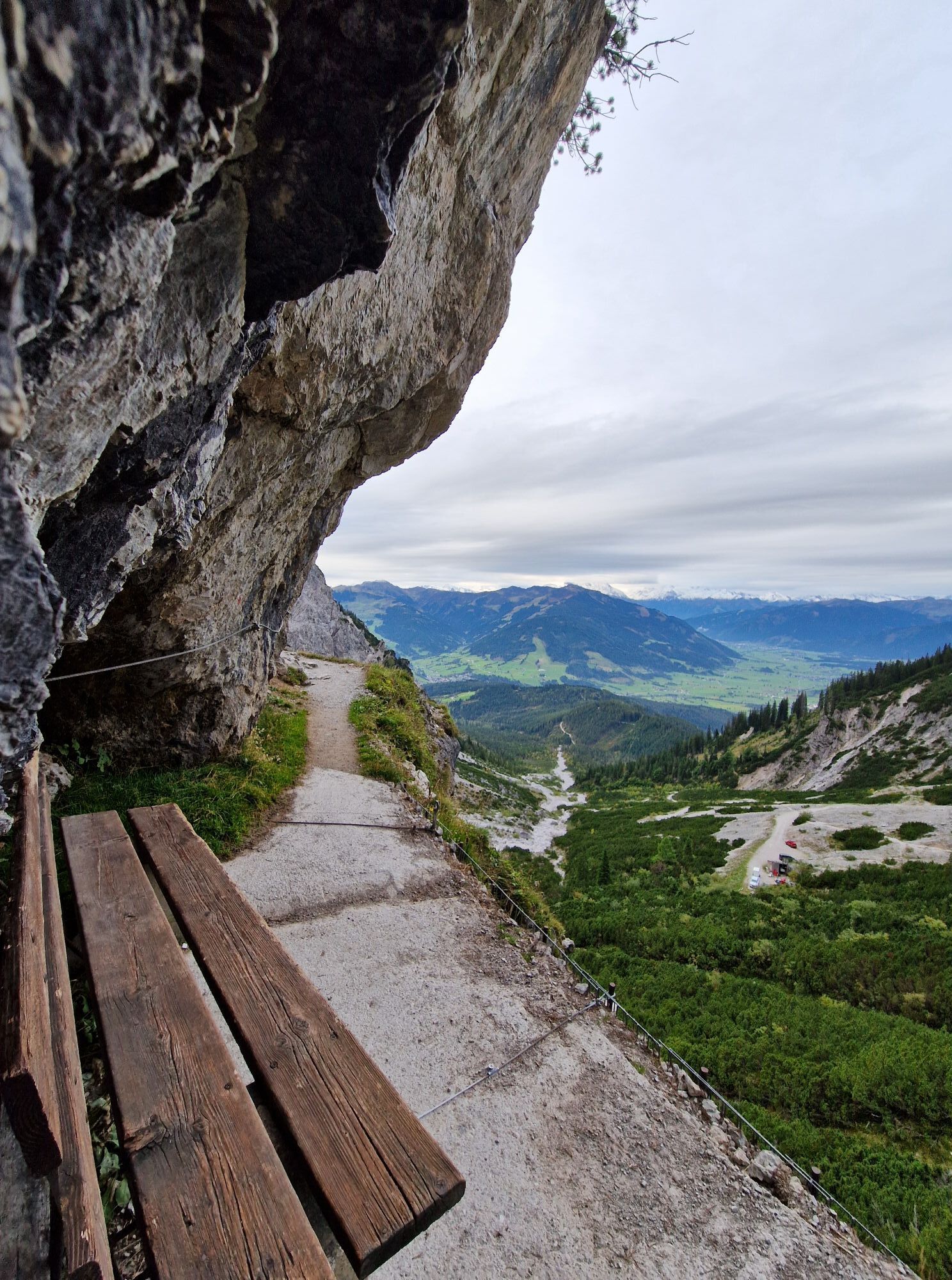


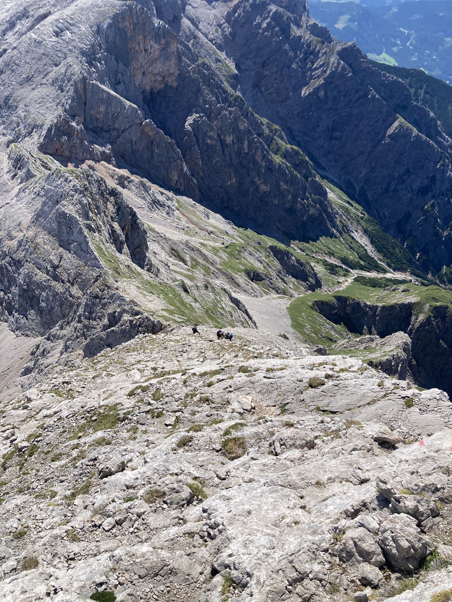

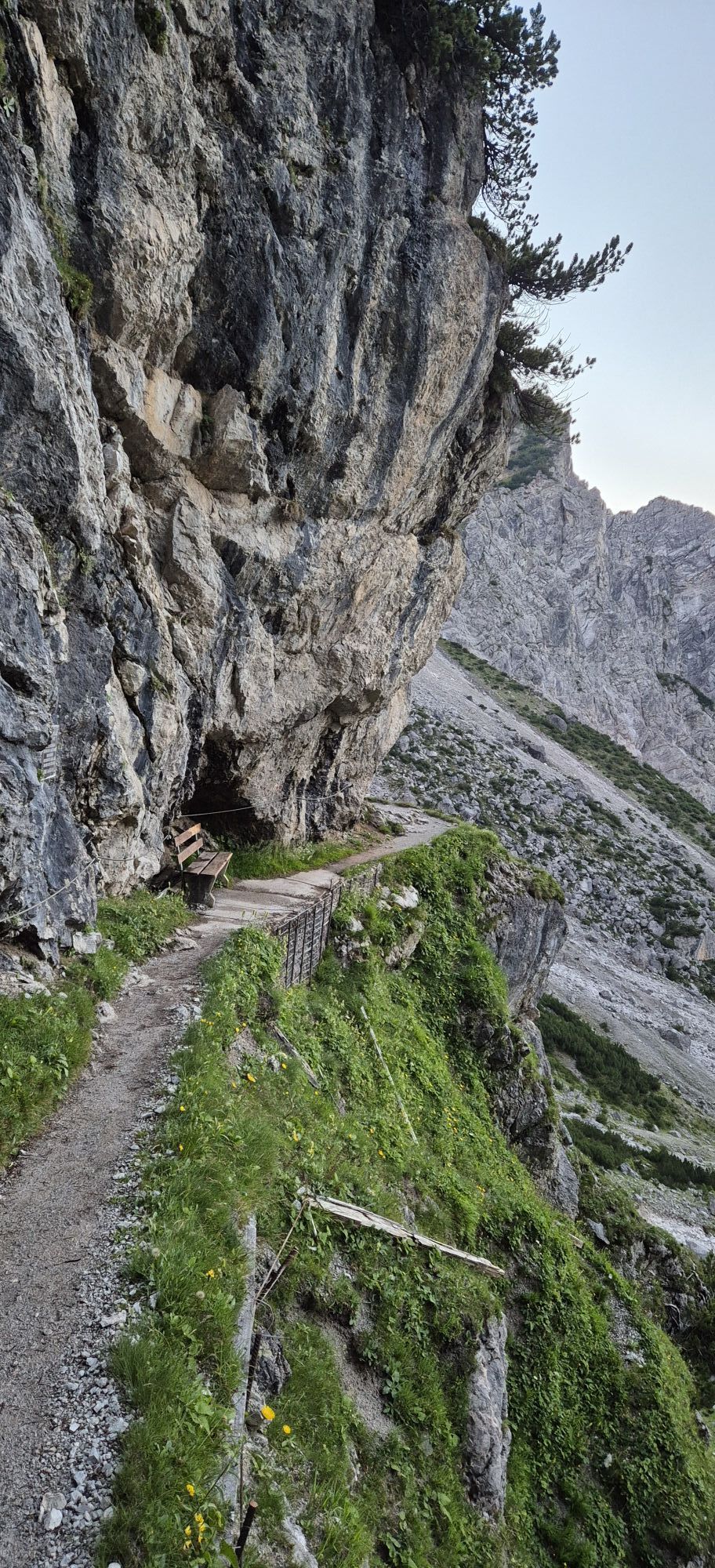


Route
Bilgerirast
(1.434 m)
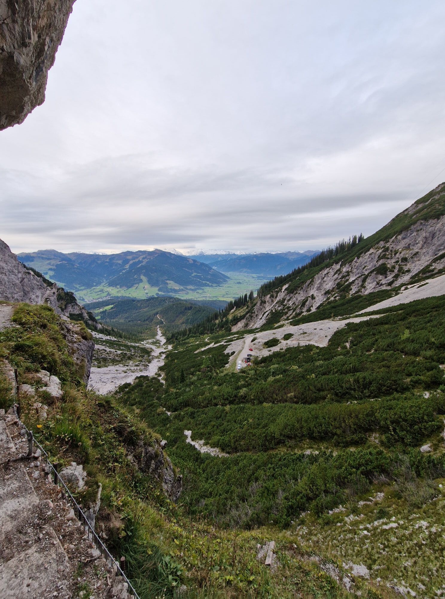
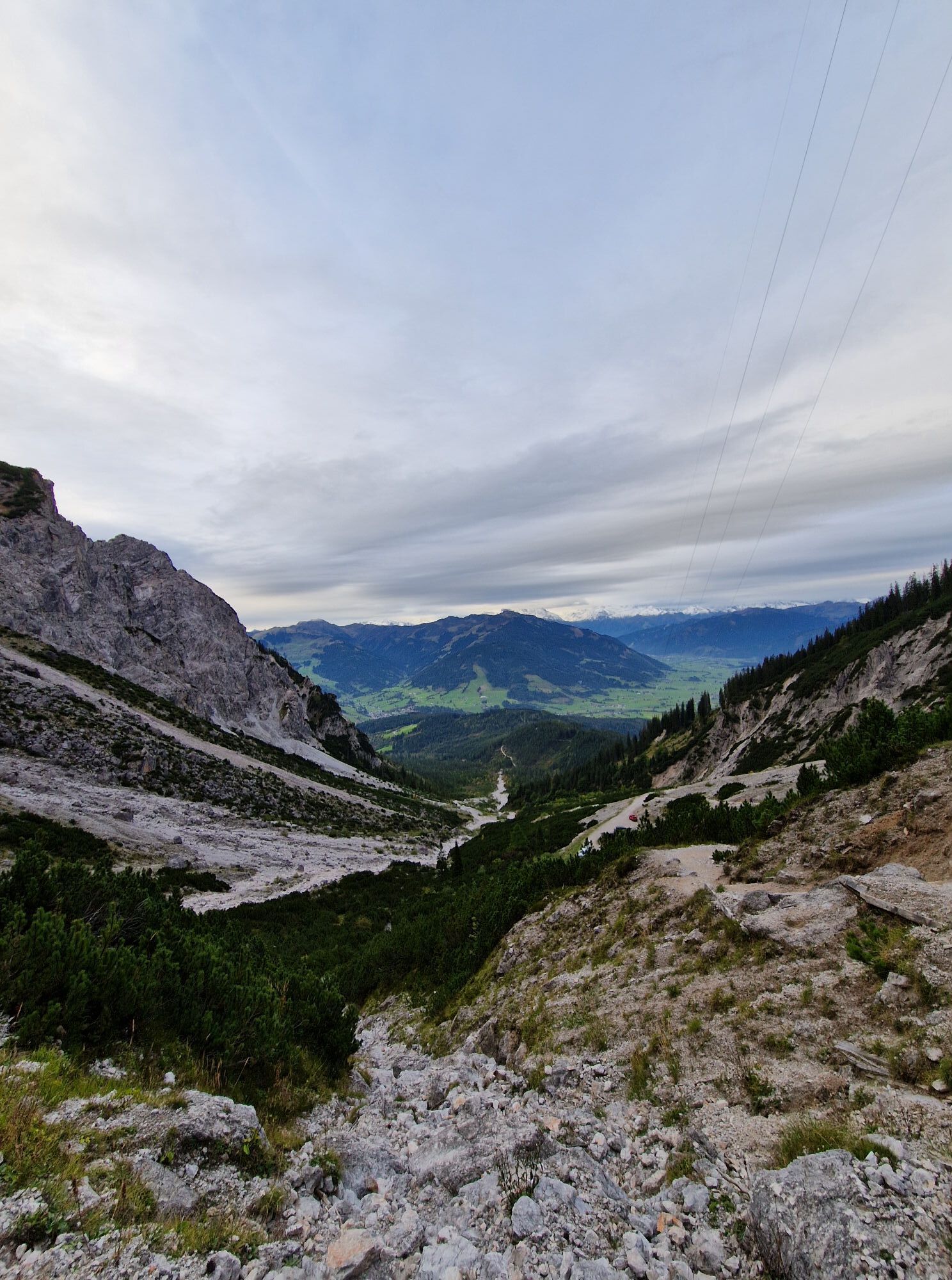
Corridor/terrain
1,1 km
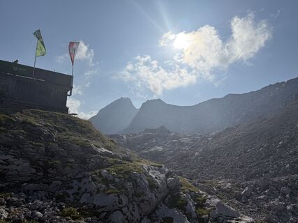
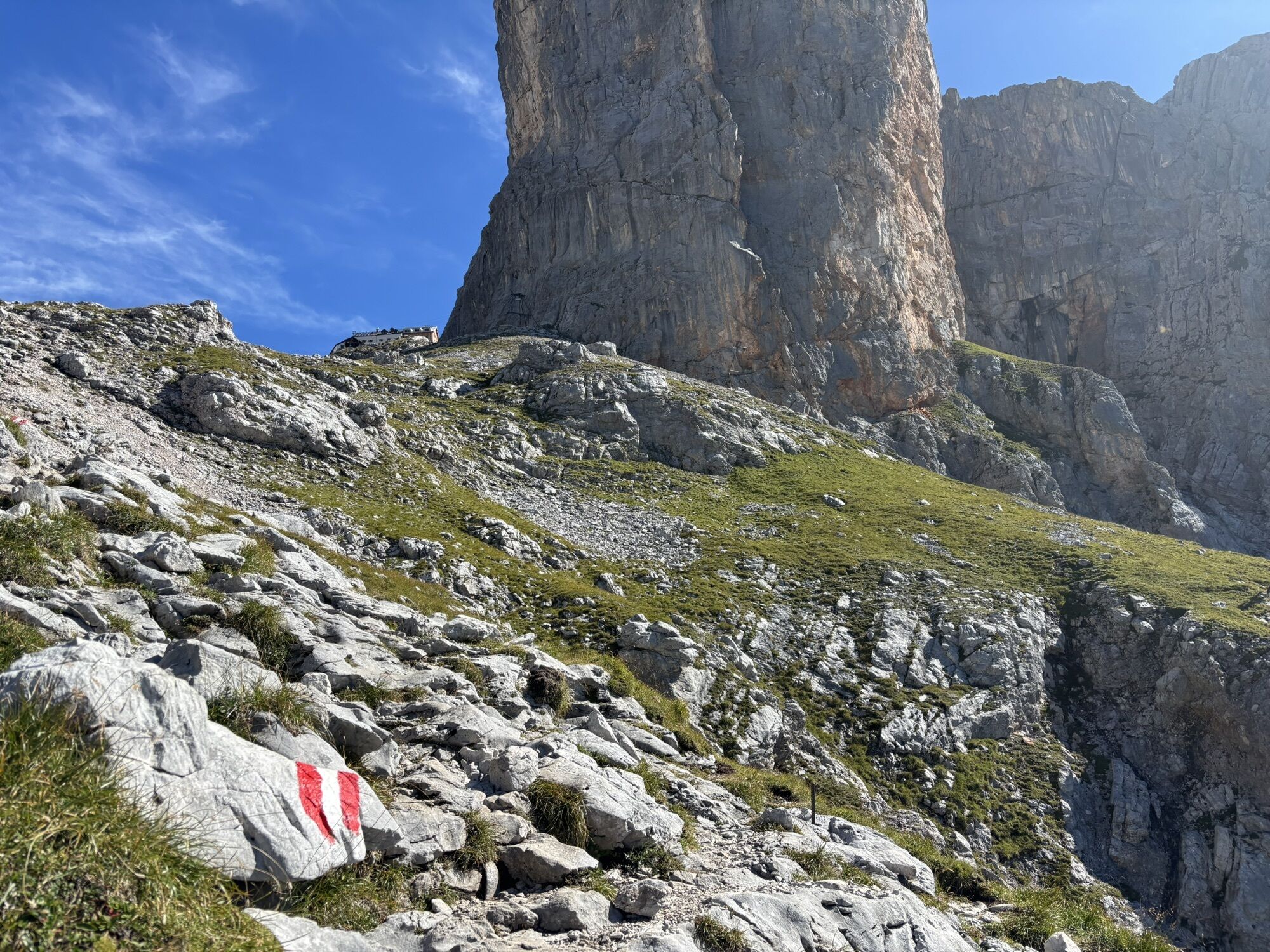
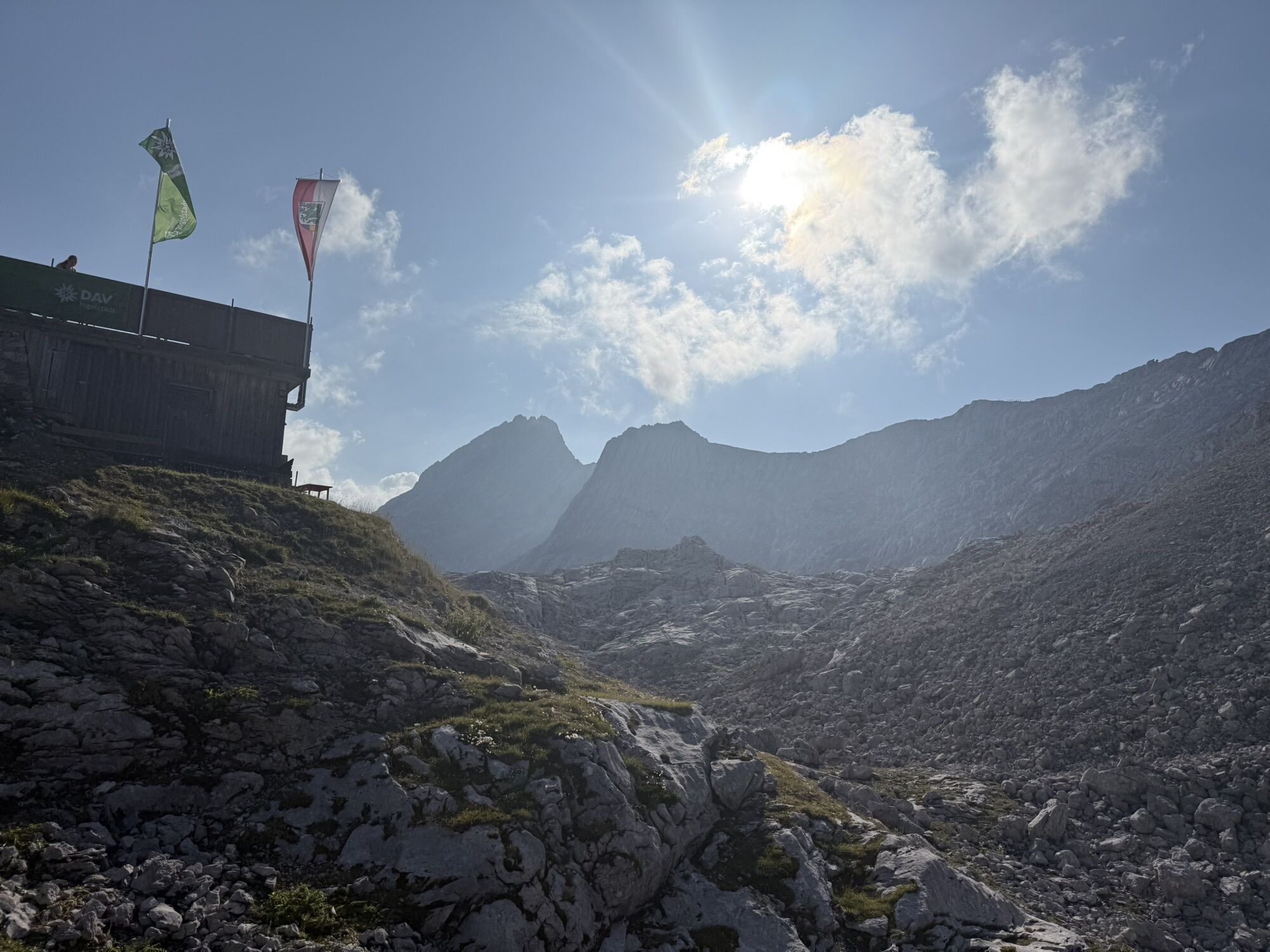
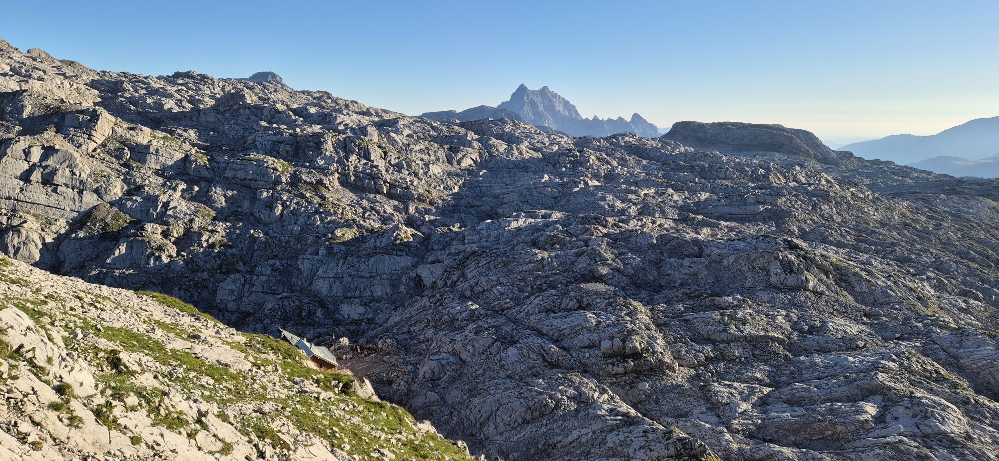
Riemannhaus
(2.176 m)
Shelter
3,7 km
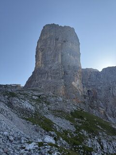
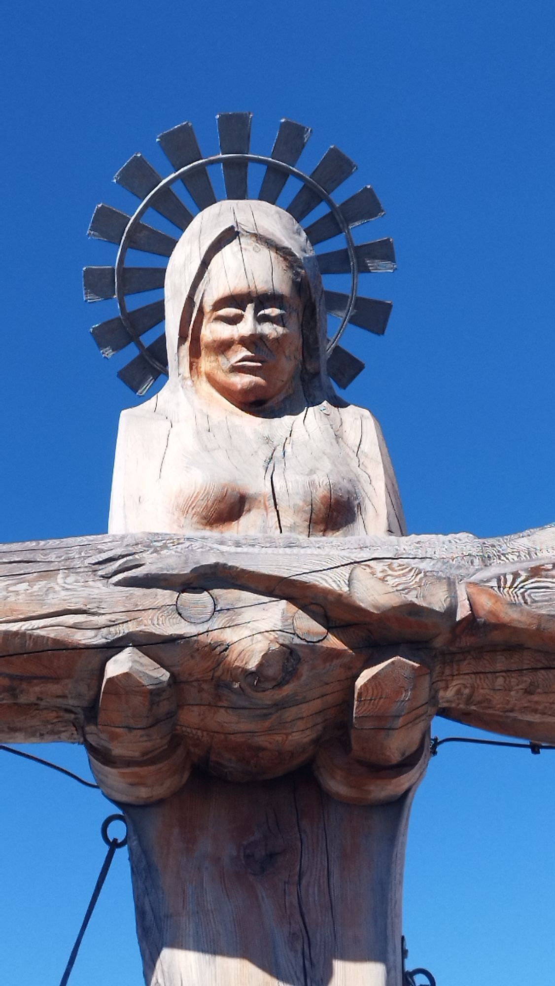
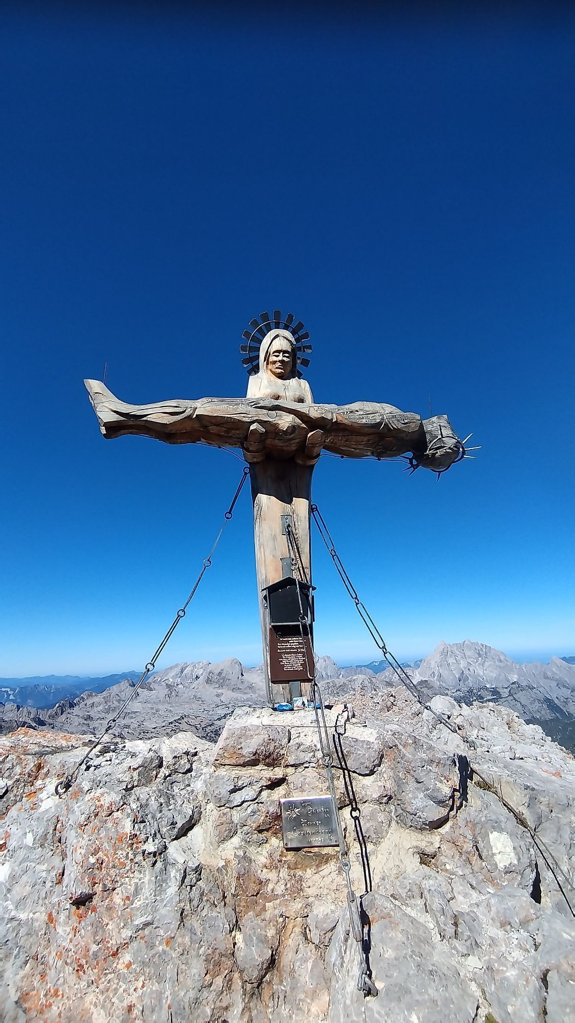
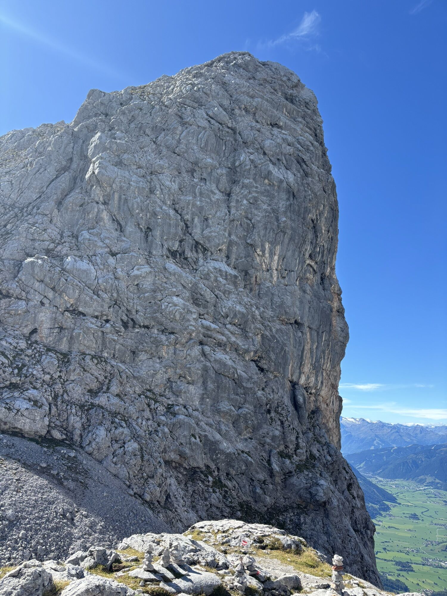
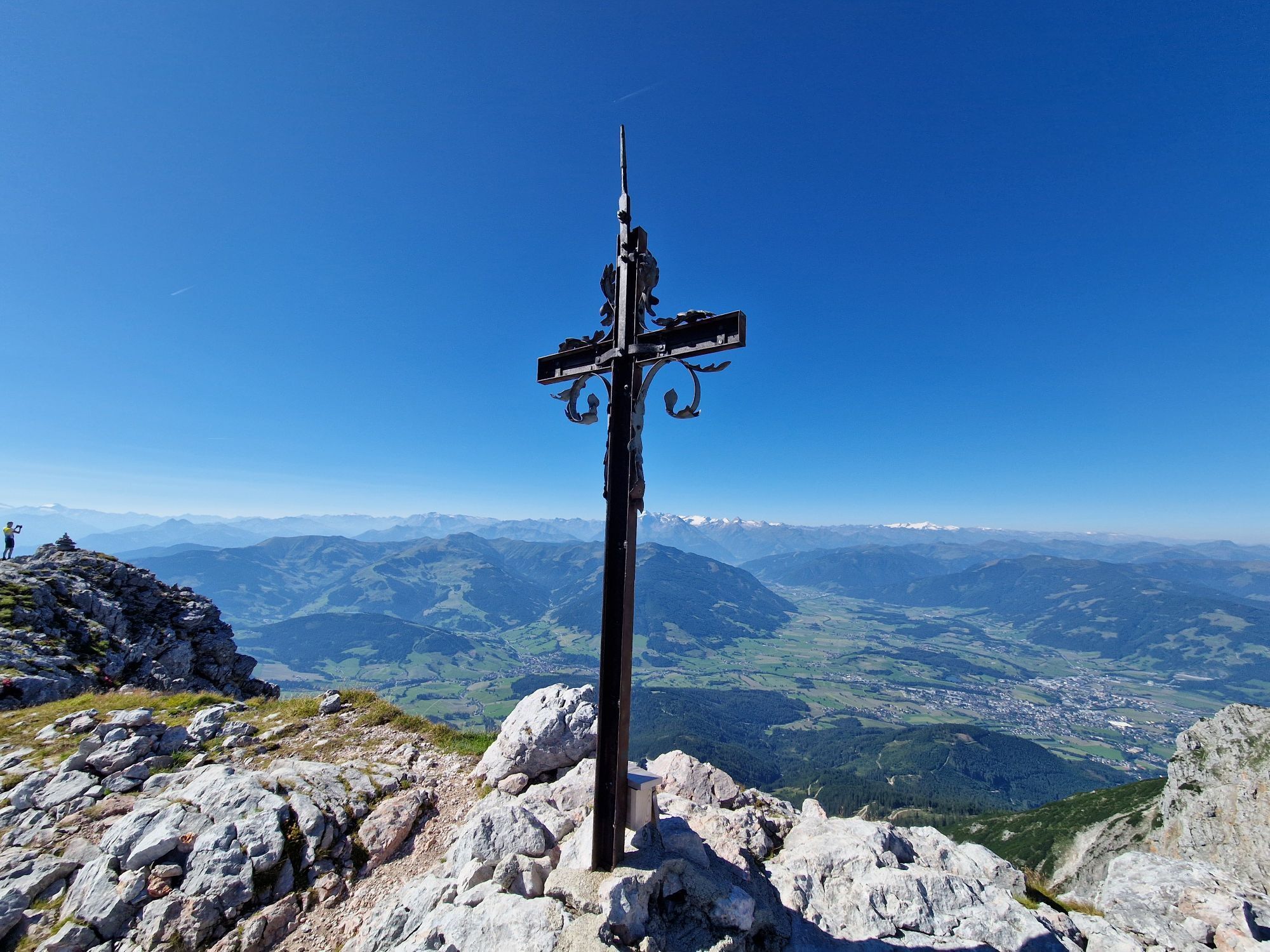
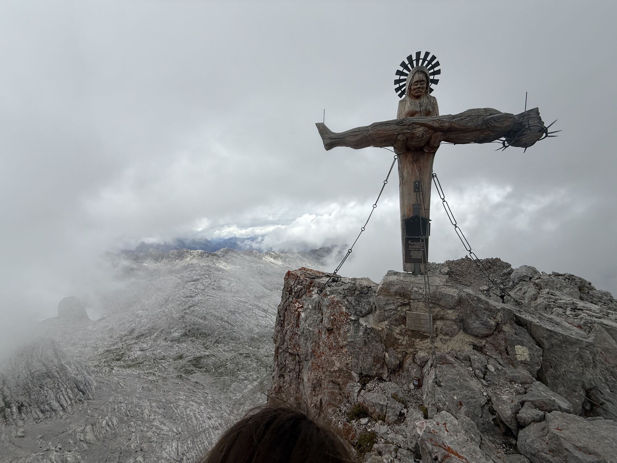
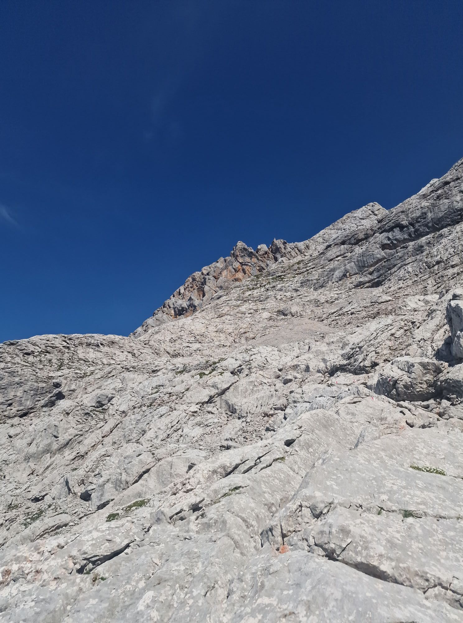
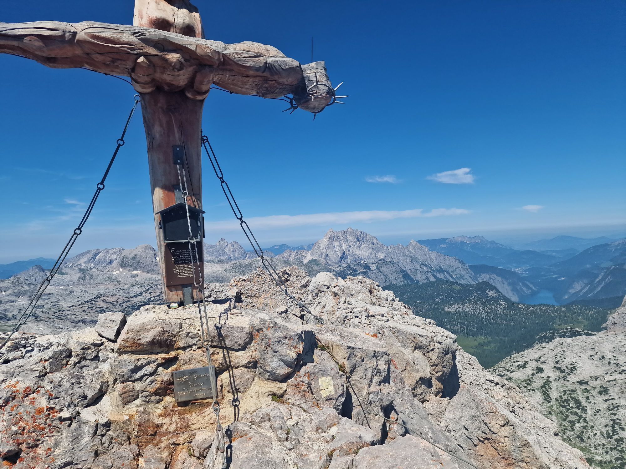
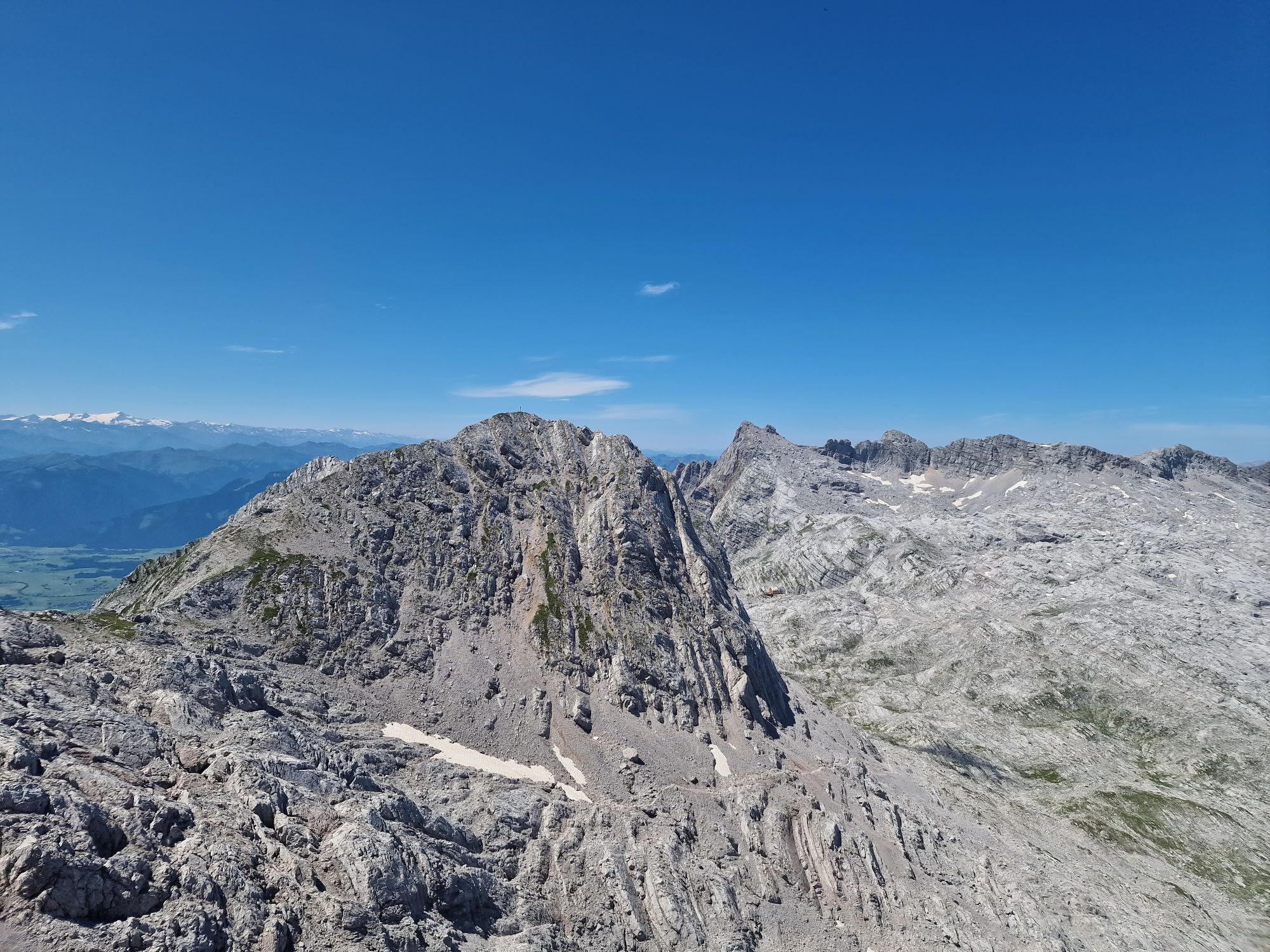
Schönfeldspitze
(2.653 m)
Summit
6,0 km
Riemannhaus
(2.176 m)
Shelter
8,2 km
Bilgerirast
(1.434 m)
Corridor/terrain
10,8 km
Route
Schönfeldspitze ab Parkplatz Sandten
Pješačenje
12,02
km
Bilgerirast
(1.434 m)
Corridor/terrain
1,1 km
Riemannhaus
(2.176 m)
Shelter
3,7 km
Schönfeldspitze
(2.653 m)
Summit
6,0 km
Riemannhaus
(2.176 m)
Shelter
8,2 km
Bilgerirast
(1.434 m)
Corridor/terrain
10,8 km

No reviews yet
Popular tours in the neighbourhood
-
4,8
Summit storming route Taghaube
heavyPješačenje 6,25 km -
4,9
Hochkönig - Gipfel der Gefühle - Matrashaus
heavyPješačenje 20,9 km -
3,8
Hochkönig summit route - main ascent
heavyPješačenje 18,1 km -
4,8
Summit stormer route Lauskopf
heavyPješačenje 8,16 km -
5,0
Königssee - Kärlinger-Haus
Pješačenje 10,1 km -
4,4
Riemannhaus
heavyPješačenje 3,69 km -
4,4
Wimbachgrieshütte
Pješačenje 8,30 km -
4,9
von Schönau am Königssee zum Watzmannhaus und zurück
mediumPješačenje 17,1 km -
4,5
Birnbachloch Leogang, Österreich
mediumPješačenje 5,18 km -
5,0
Watzmann Überschreitung an einem Tag
heavyPješačenje 23,9 km
bergfex Tours

Over 550.000 tour suggestions, detailed maps and an intuitive route planner make the app a must-have for all nature enthusiasts.

Ne propustite ponude i inspiraciju za vaš sljedeći odmor
Subscribe to the newsletter
Error
An error has occurred. Please try again.
Thank you for your registration
Your e-mail address has been added to the mailing list.
Tours throughout Europe
Austrija
Švicarska
Njemačka
Italija
Slovenija
Francuska
Nizozemska
Belgija
Poljska
Lihtenštajn
Češka
Slovačka
Španija
Hrvatska
Bosna i Hercegovina
Luksemburg
Andora
Portugal
Island
Ujedinjeno Kraljevstvo
Irska
Grčka
Albanija
Sjeverna Makedonija
Malta
Norveška
Crna Gora
Moldova
Kosovo
Mađarska
San Marino
Rumunjska
Estonija
Latvija
Bjelorusija
Cipar
Litva
Srbija
Bugarska
Monako
Danska
Švedska
Finska