J02 Rammernalm
light
Navigate
Navigate
Get this tour on your mobile
J02 Rammernalm
light
Zimsko planinarenje
6,16
km
Scan the QR code and start navigation in the bergfex app

Hiking & Tracking


Distance
6,16
km
Duration
02:30
h
Ascent
210
m
Sea level
931 -
1.156
m
Level of difficulty: 2
Track download
J02 Rammernalm
light
Zimsko planinarenje
6,16
km


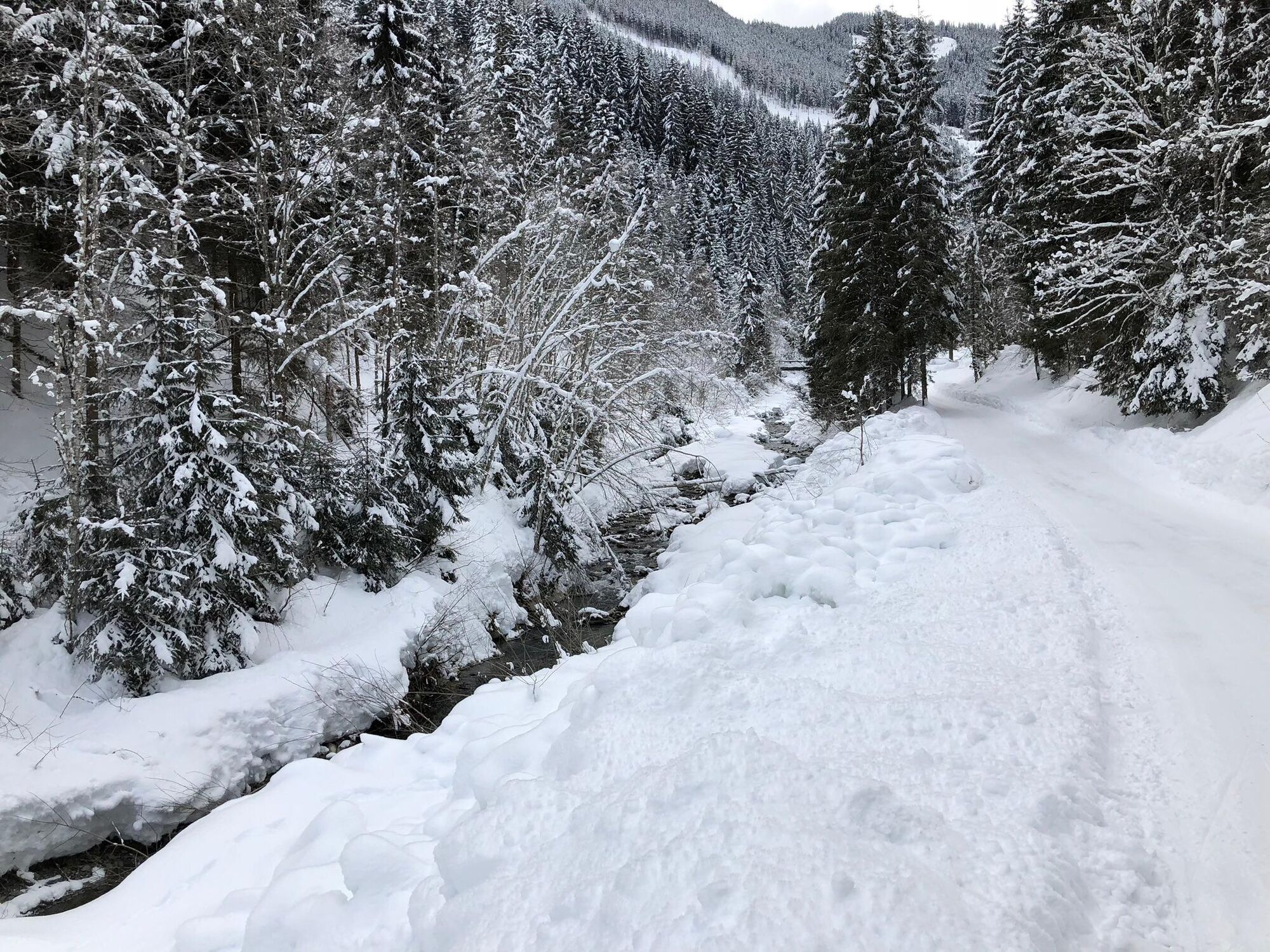
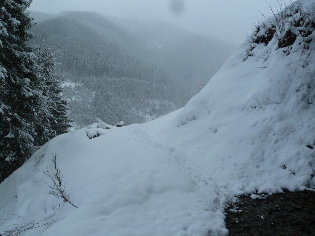
From the Jausern bridge, follow the Löhnersbachweg for approx. 3 km. At the fork, ascend to the right to Rammern Alm. Return to the starting point via the same path.
Route
Igelsberg
(948 m)
Settlement
0,0 km
Jausern
(935 m)
Settlement
0,1 km
Taxach
(1.052 m)
Settlement
1,1 km
Taxach
(1.052 m)
Settlement
5,0 km
Route
Igelsberg
(948 m)
Settlement
0,0 km
Jausern
(935 m)
Settlement
0,1 km
Taxach
(1.052 m)
Settlement
1,1 km
Rammern
(1.162 m)
Settlement
2,8 km
Jausenstation Rammern Alm
(1.157 m)
Restaurant
3,0 km
Taxach
(1.052 m)
Settlement
5,0 km
Jausern
(935 m)
Settlement
5,9 km
Igelsberg
(948 m)
Settlement
6,1 km


Route information
Suitable for families
Yes
One-way tour
Yes
Arrival information
Arrival
From Maishofen approx. 10 km along the L111 to Saalbach/Jausern.
Public transport
Postbus daily from 07:00 to 19:00
http://www.postbus.at/de/Fahrplanauskunft/index.jsp
Parking
Few parking spaces at the beginning of the Löhnersbachweg
Additional information & tips
Level of difficulty
2
No reviews yet
Webcams of the tour
-
Schattberg - West
-
Asitz Gipfel
-
Berghotel Seidl-Alm
-
Schattberg Westgipfel
-
Hinterglemm Dorf
-
Kohlmais Tal
-
Asitz Bergstation
-
Großer Asitz / Gipfelkreuz
-
Schattberg Ost
-
Saalbach - Alpinresort Sport & Spa
-
Schattberg-Ost
-
Saalbach-Hinterglemm - Kohlmais
-
Kohlmaiskopf
-
Leogang - Grosser Asitz
-
zellamseeXpress
-
Eberharthof - Saalbach-Hinterglemm
Popular tours in the neighbourhood
-
4,7
Tristkogel
heavyPješačenje 15,6 km -
4,5
Birnbachloch Leogang, Österreich
mediumPješačenje 5,18 km -
4,5
Lettlkaser
mediumPješačenje 4,40 km -
4,1
Passauer Hütte
heavyPješačenje 4,14 km -
4,5
Sigmund Thun Klamm
lightPješačenje 3,10 km -
4,4
Birnbachloch
mediumPješačenje 6,40 km -
5,0
Leoganger SOUTH
heavyVia ferrata 4,08 km -
4,8
Sigmund Thun Klamm, Klammsee, Bürgkogel
lightPješačenje 4,56 km -
4,2
Spielbergalmen
mediumPješačenje 10 km -
5,0
Manlitzkogel
heavyPješačenje 13,4 km
bergfex Tours

Over 550.000 tour suggestions, detailed maps and an intuitive route planner make the app a must-have for all nature enthusiasts.

Ne propustite ponude i inspiraciju za vaš sljedeći odmor
Subscribe to the newsletter
Error
An error has occurred. Please try again.
Thank you for your registration
Your e-mail address has been added to the mailing list.
Tours throughout Europe
Austrija
Švicarska
Njemačka
Italija
Slovenija
Francuska
Nizozemska
Belgija
Poljska
Lihtenštajn
Češka
Slovačka
Španija
Hrvatska
Bosna i Hercegovina
Luksemburg
Andora
Portugal
Island
Ujedinjeno Kraljevstvo
Irska
Grčka
Albanija
Sjeverna Makedonija
Malta
Norveška
Crna Gora
Moldova
Kosovo
Mađarska
San Marino
Rumunjska
Estonija
Latvija
Bjelorusija
Cipar
Litva
Srbija
Bugarska
Monako
Danska
Švedska
Finska