


Photos from our users
-
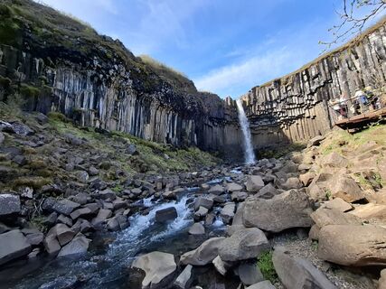
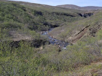
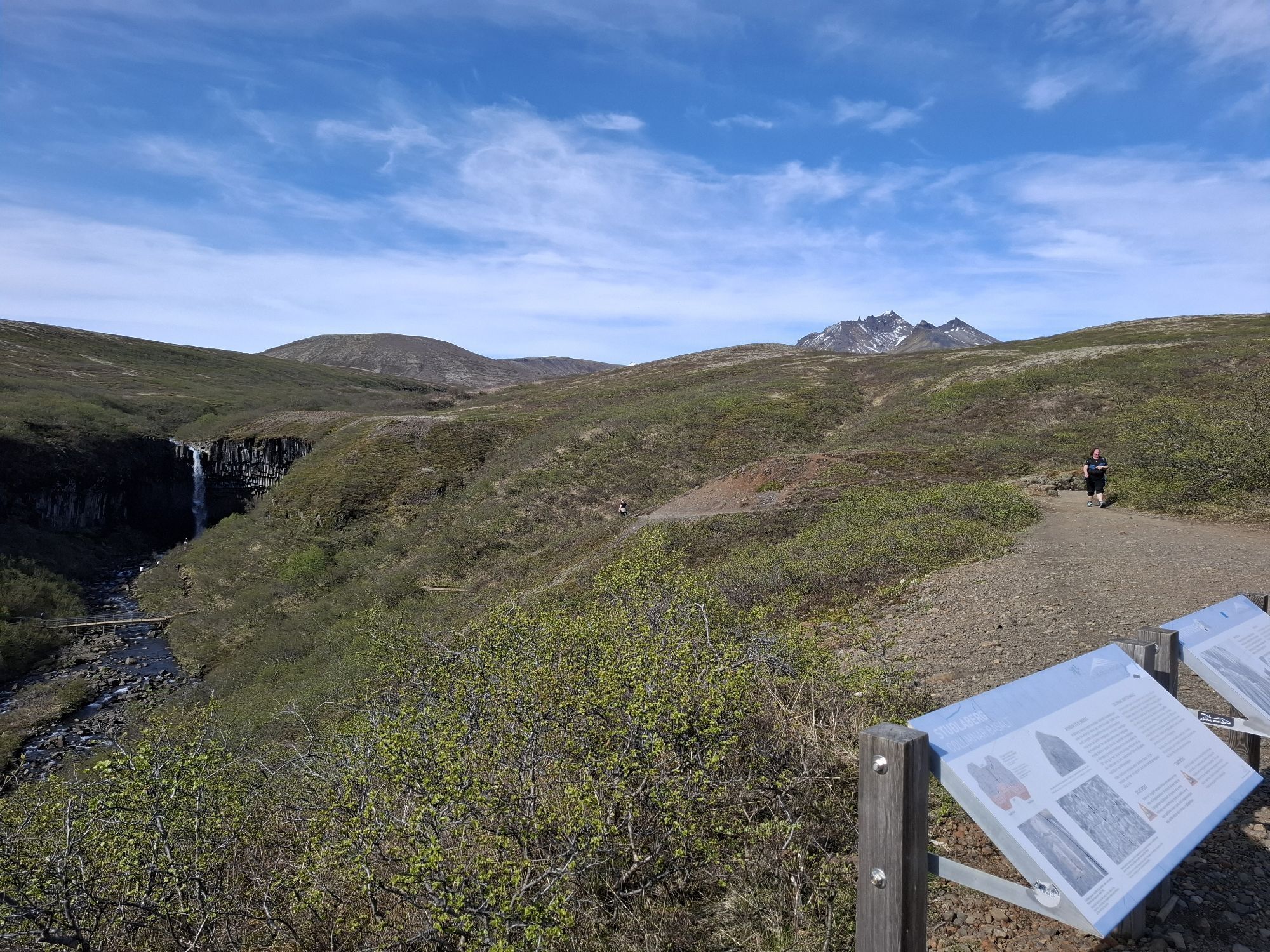
 © alexisiCreated on 13.05.2025
 -
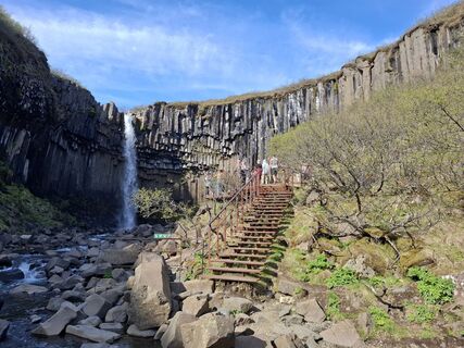
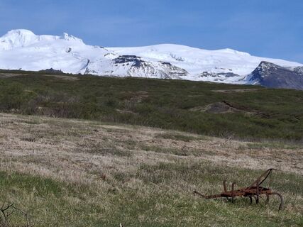
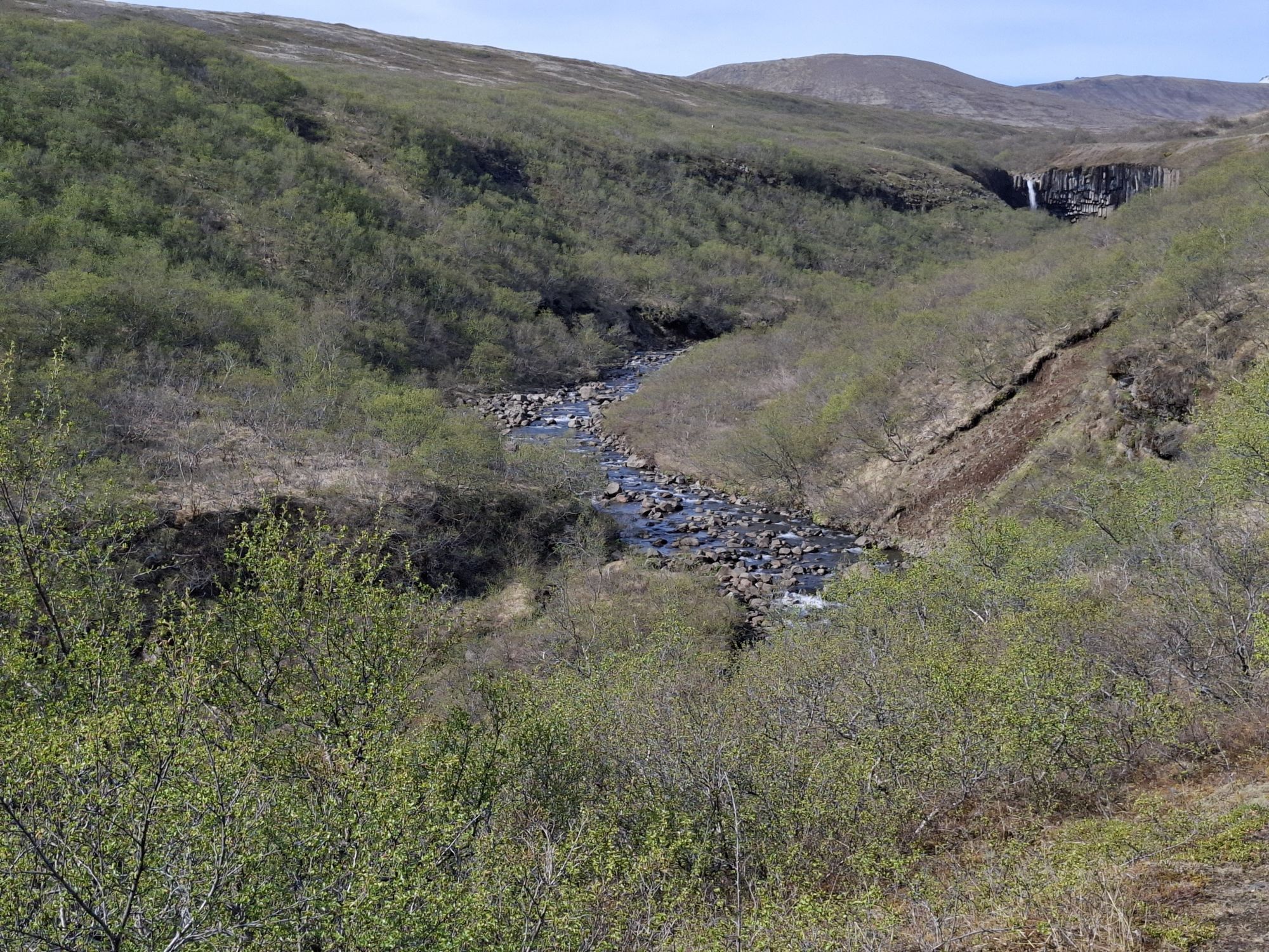
 © alexisiCreated on 13.05.2025
 -
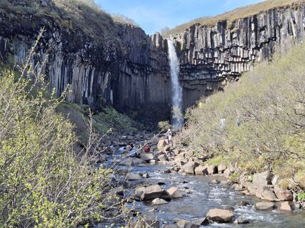
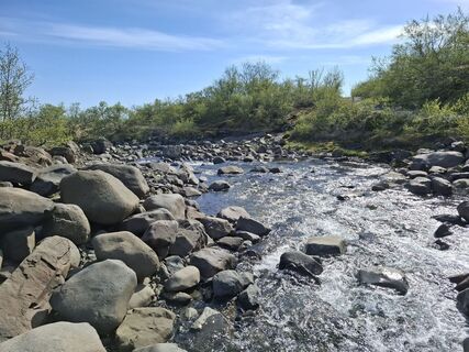
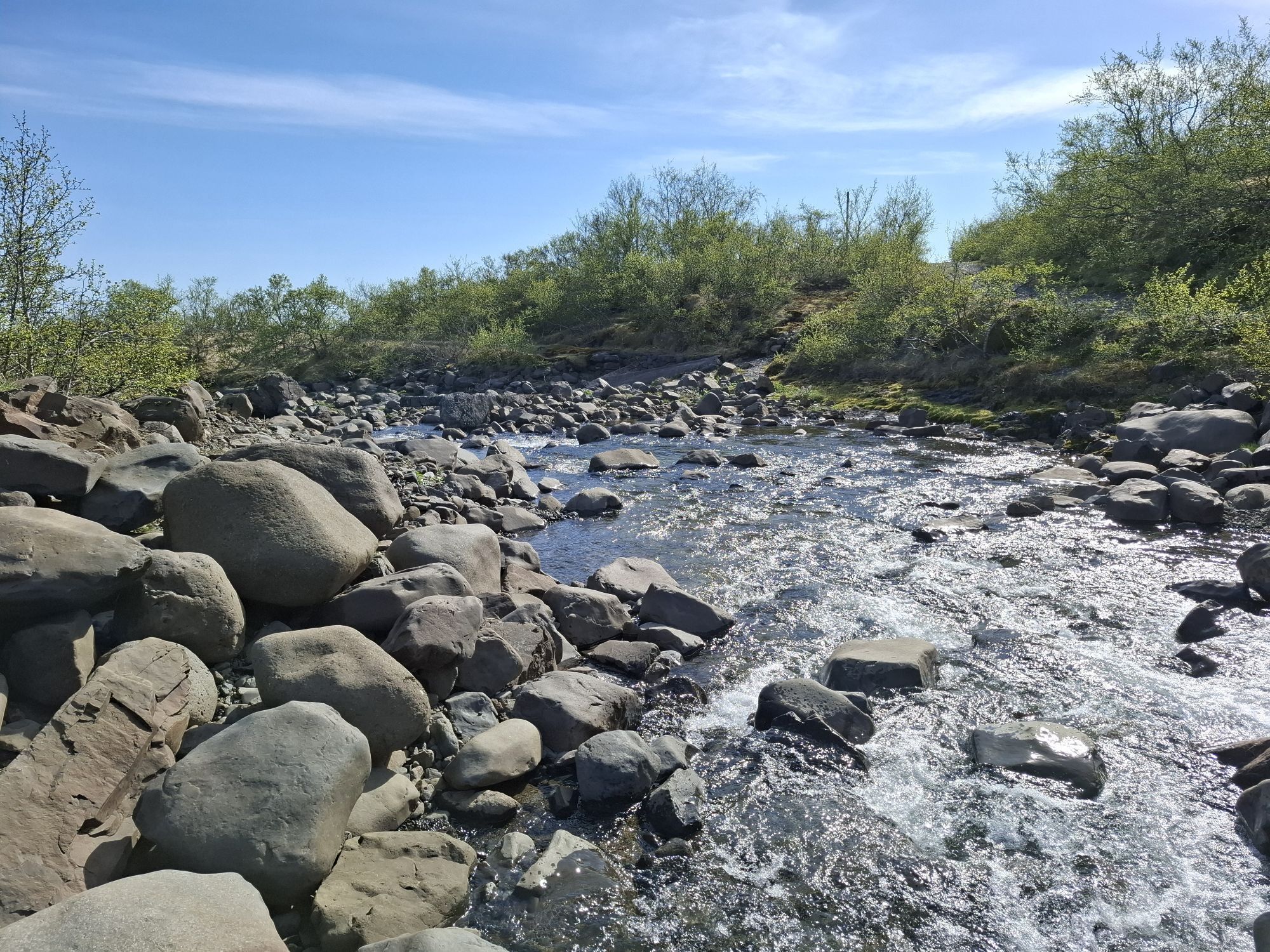
 © alexisiCreated on 13.05.2025
 -
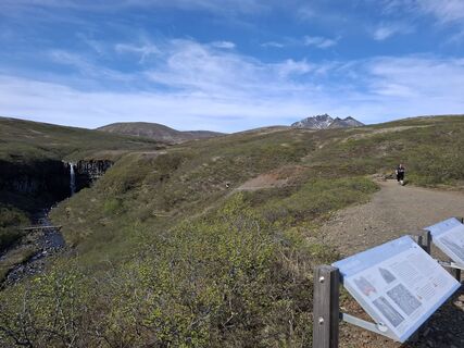
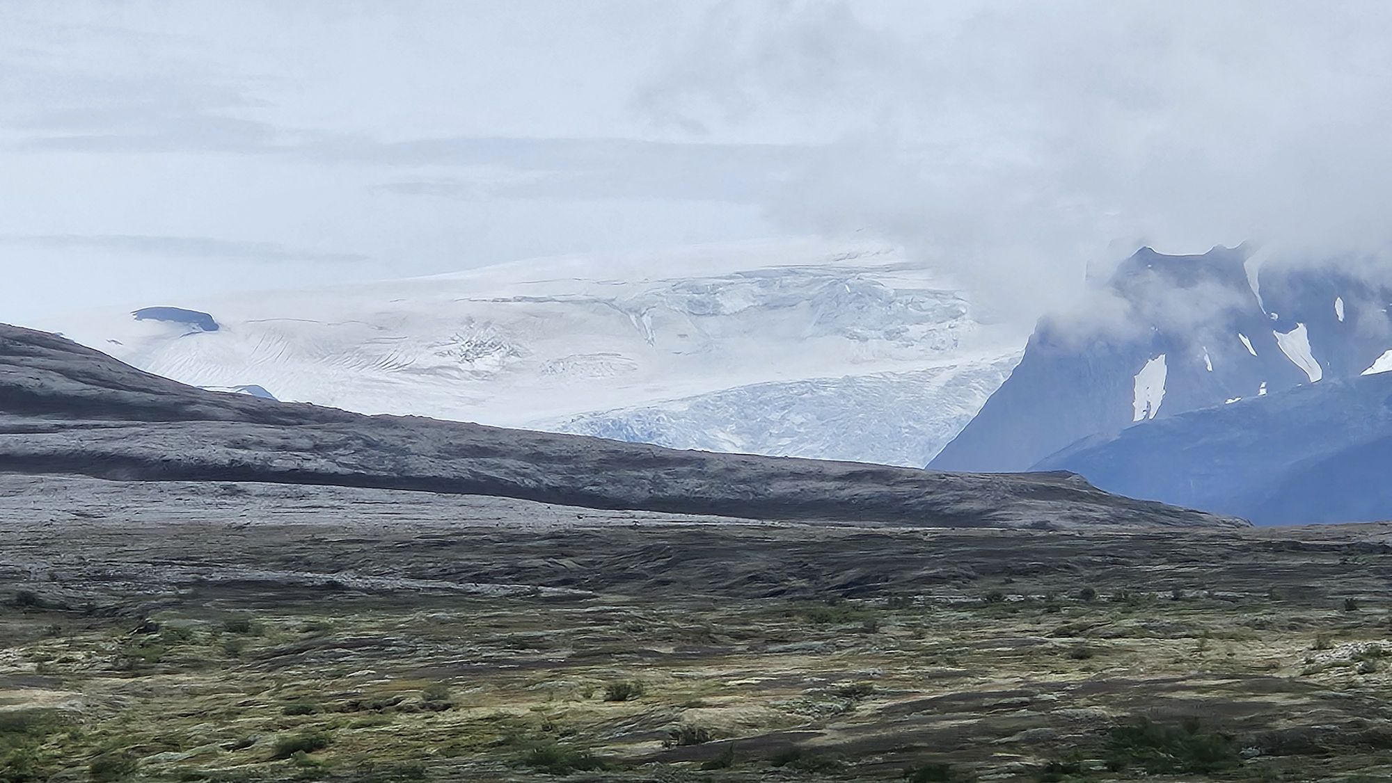
 © alexisiCreated on 13.05.2025
 -
 © alexisiCreated on 13.05.2025
 -
 © alexisiCreated on 13.05.2025
 -
 © alexisiCreated on 13.05.2025
 -
 © alexisiCreated on 13.05.2025
 -
 © alexisiCreated on 13.05.2025
 -
 © alexisiCreated on 13.05.2025
 -
 © alexisiCreated on 13.05.2025
 -
 © alexisiCreated on 13.05.2025
 -
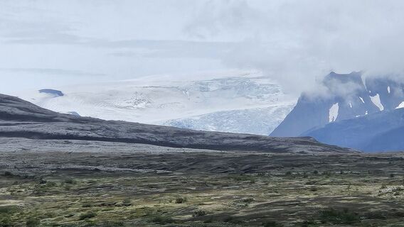
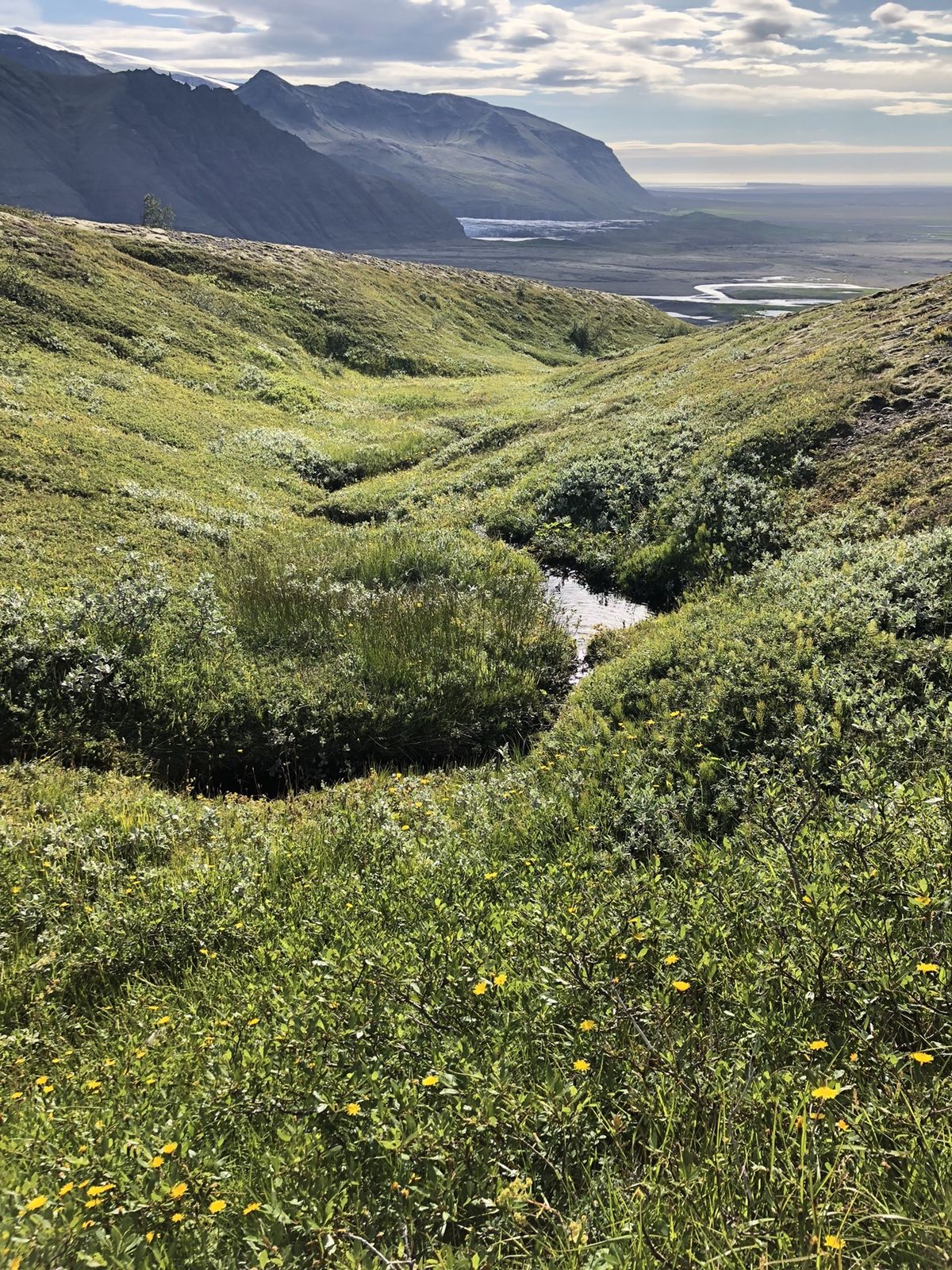
 © Eric StoklassaCreated on 17.06.2024


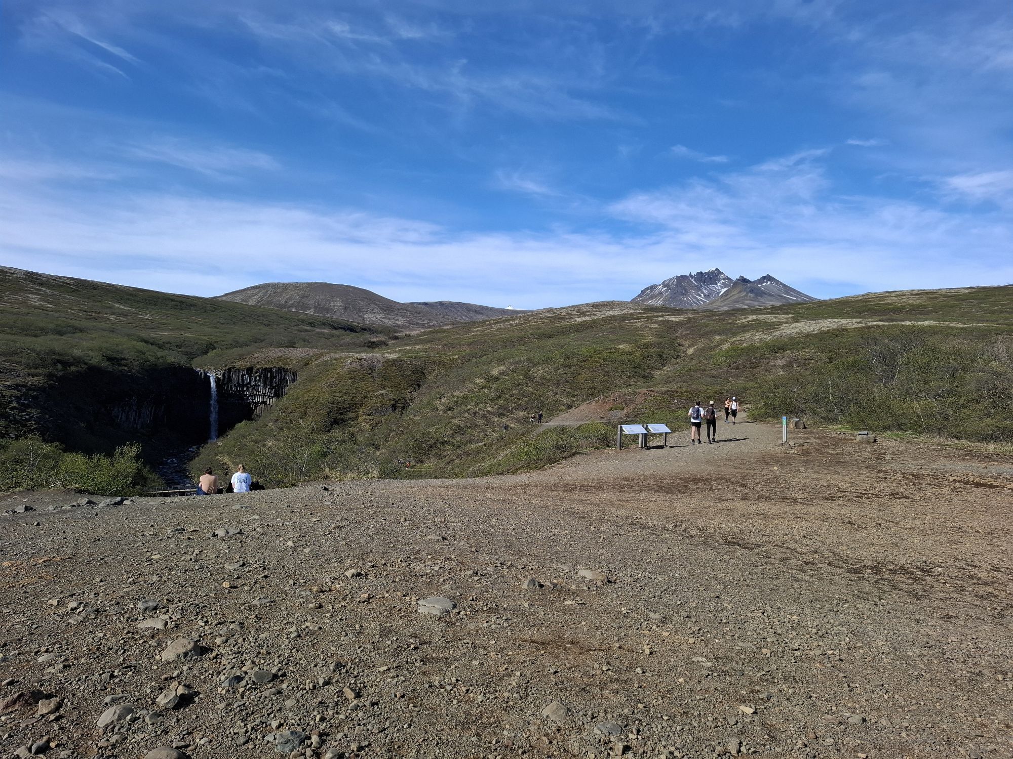


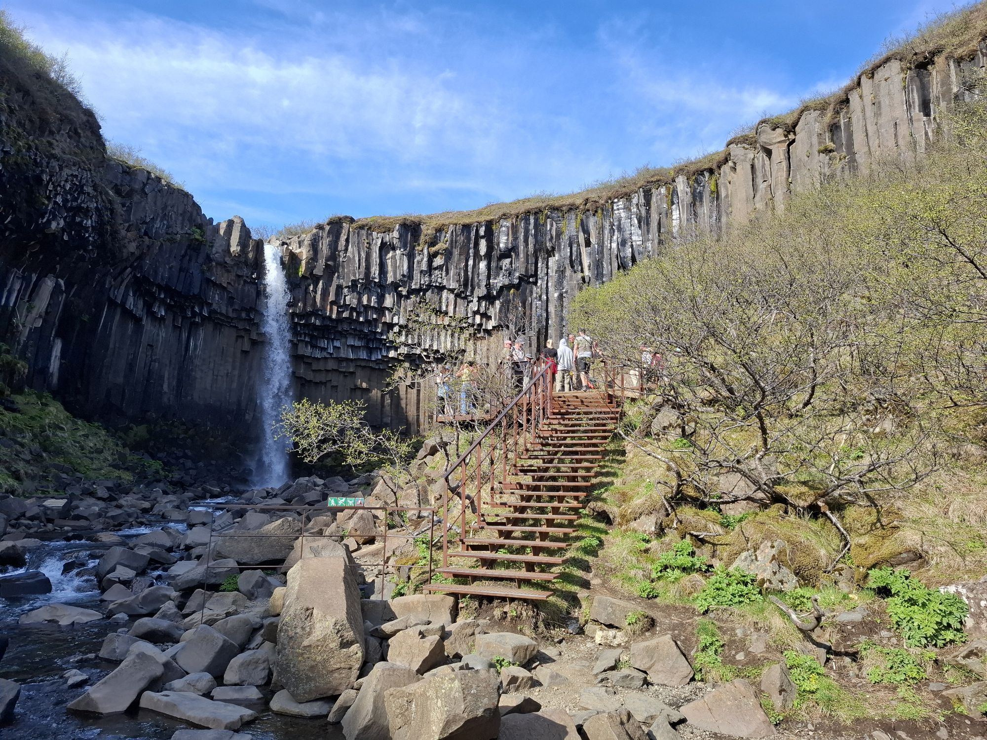
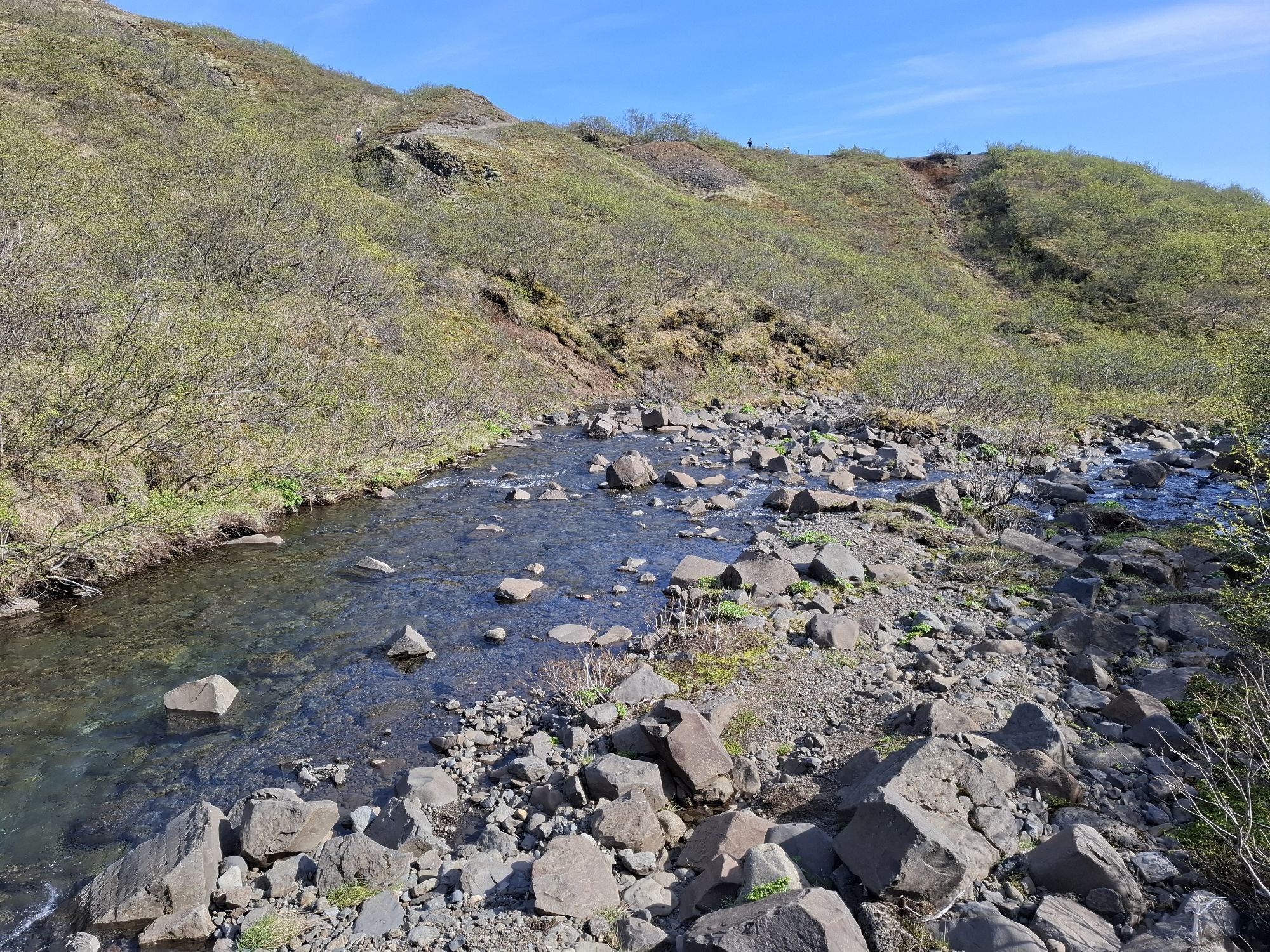
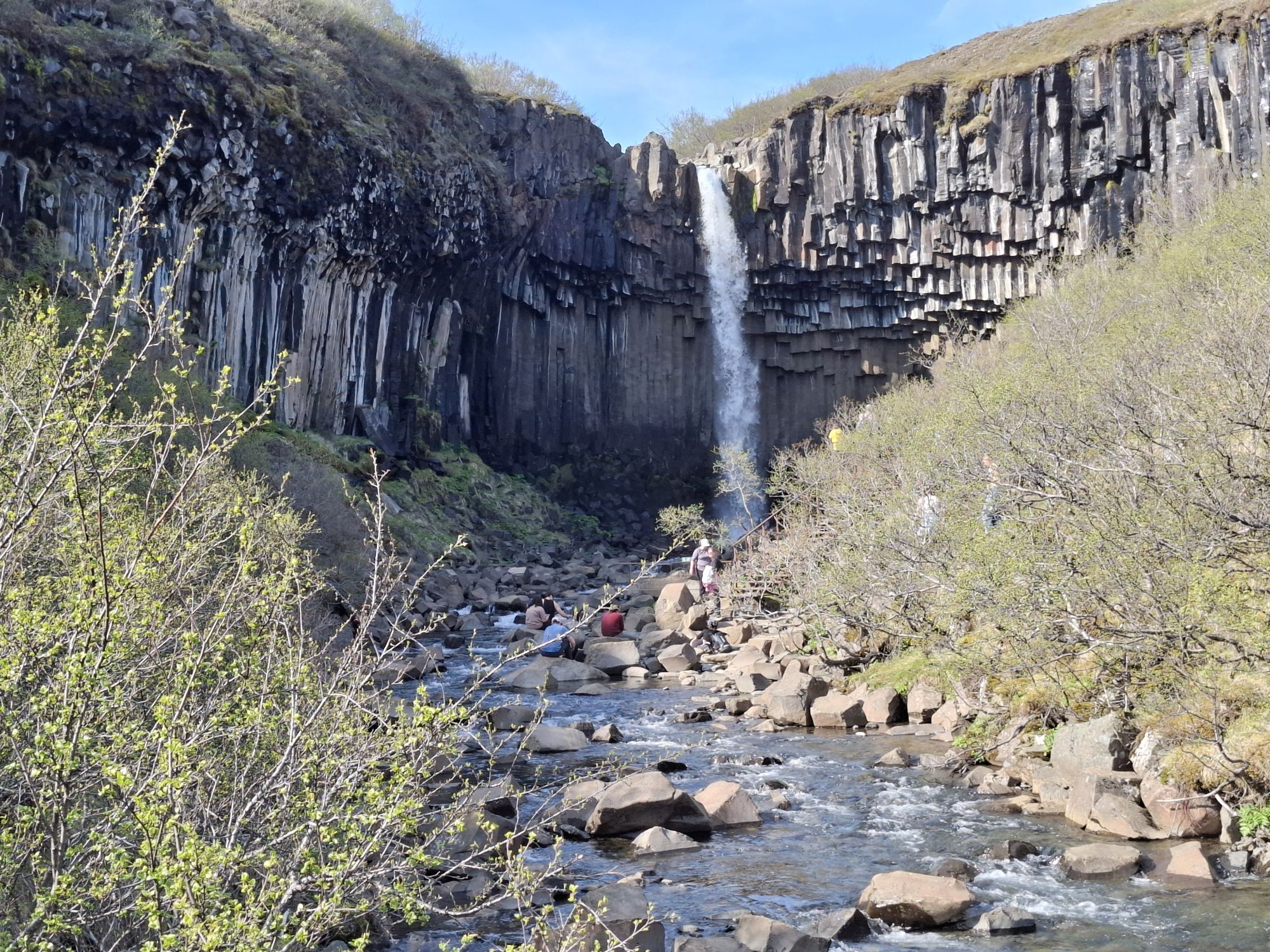

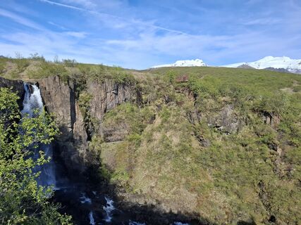
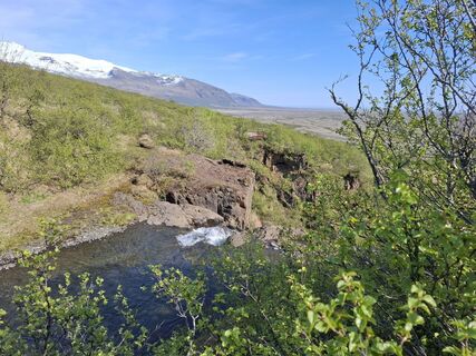
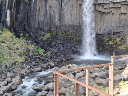
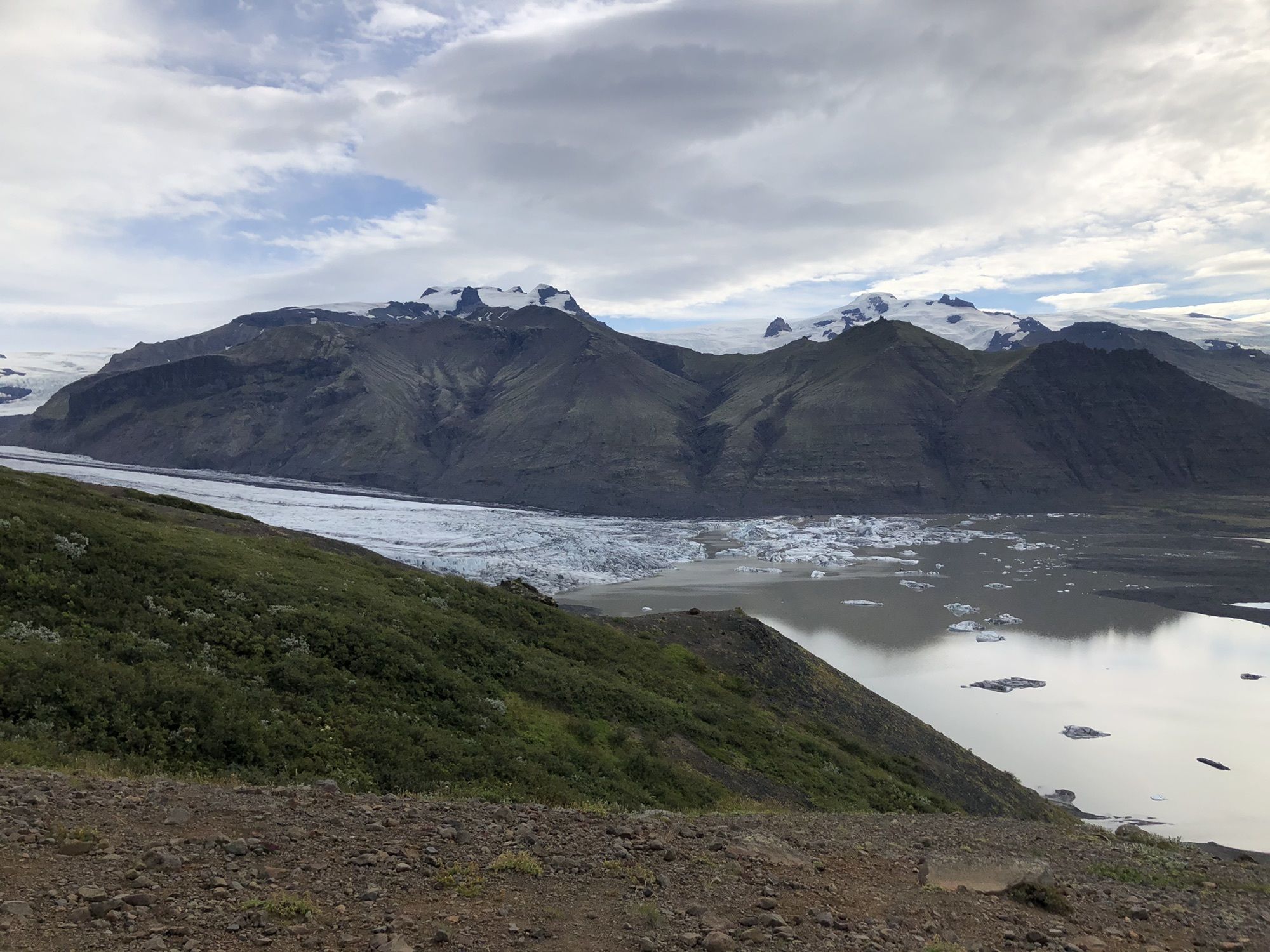
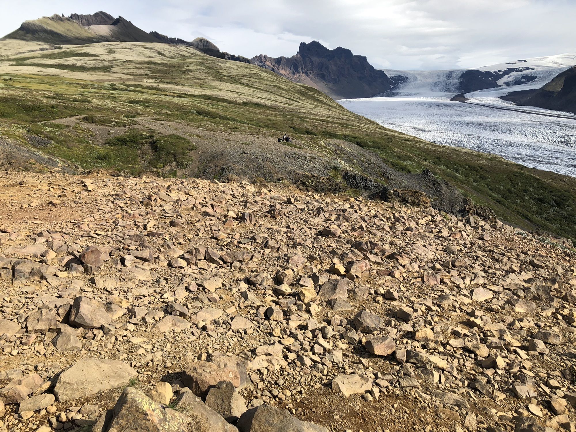
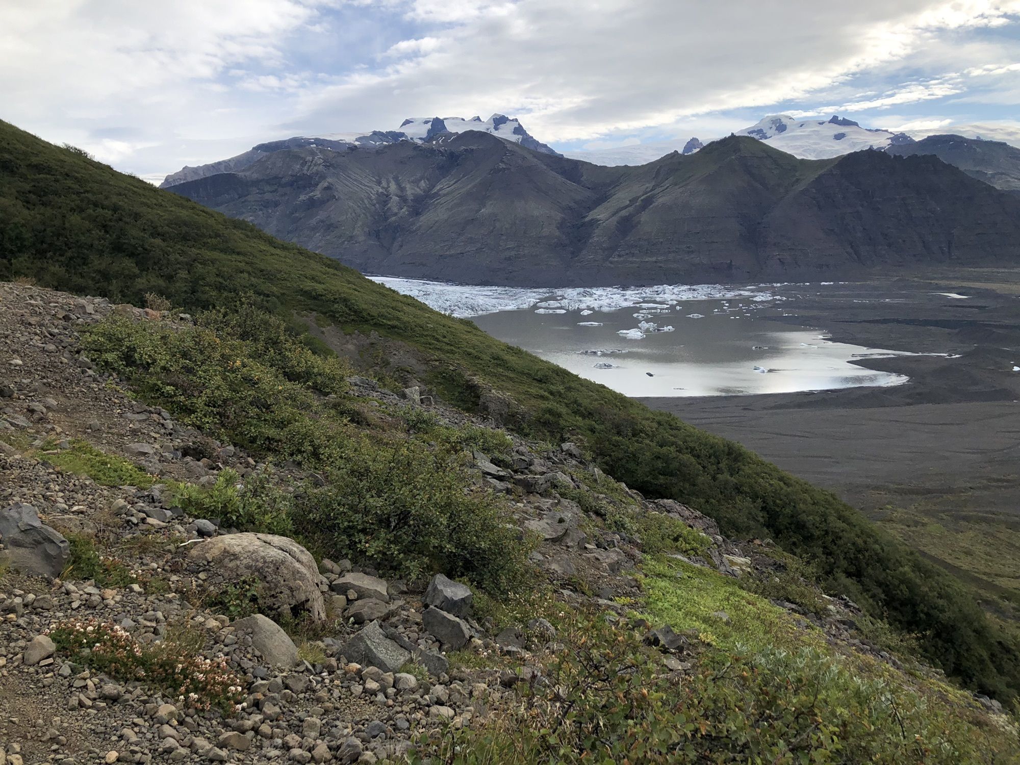
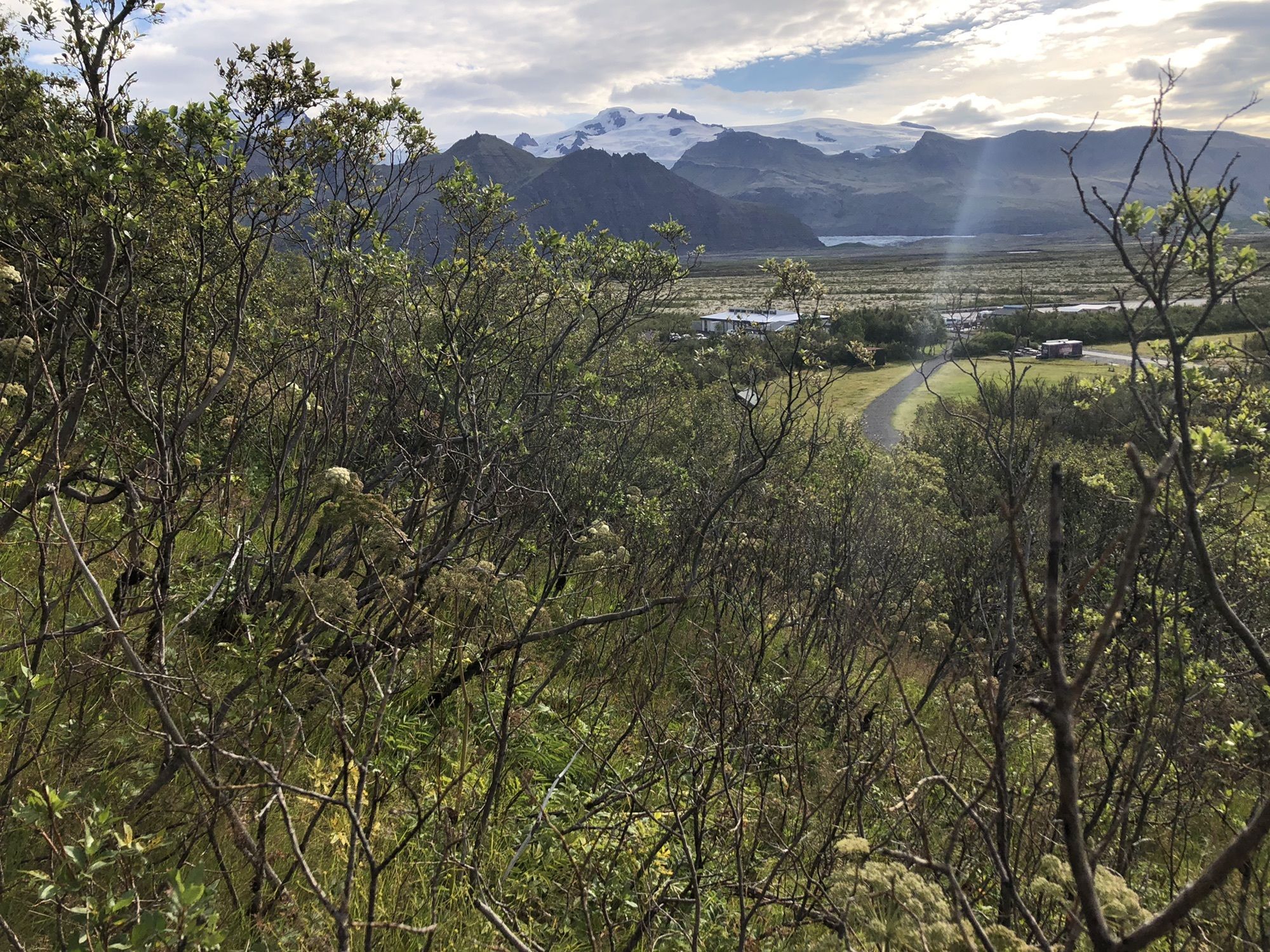
Combination of two officially marked tracks S3 (Loop) plus S4 (Kristínartindar peak at 1126m). Even on S3 there are stunning glacier views. However, if you climb Kristínartindar, you will actually get...
Combination of two officially marked tracks S3 (Loop) plus S4 (Kristínartindar peak at 1126m). Even on S3 there are stunning glacier views. However, if you climb Kristínartindar, you will actually get amazing views of the two glaciers on both sides of the ridge.
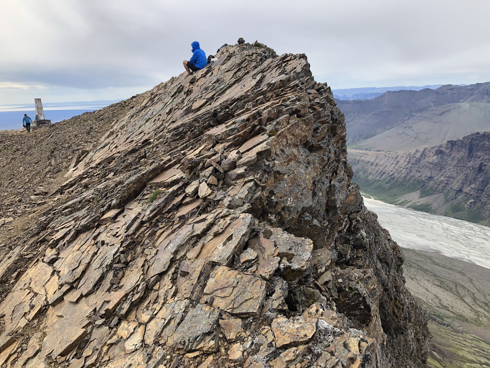
However, note that S4 is way more challenging then S3. Especially in the final ascend (last 100m oneway path), there is plenty of loose gravel on a steep and narrow trail, you basically walking through a very unstable and steep scree slope. Caution - especially going down!

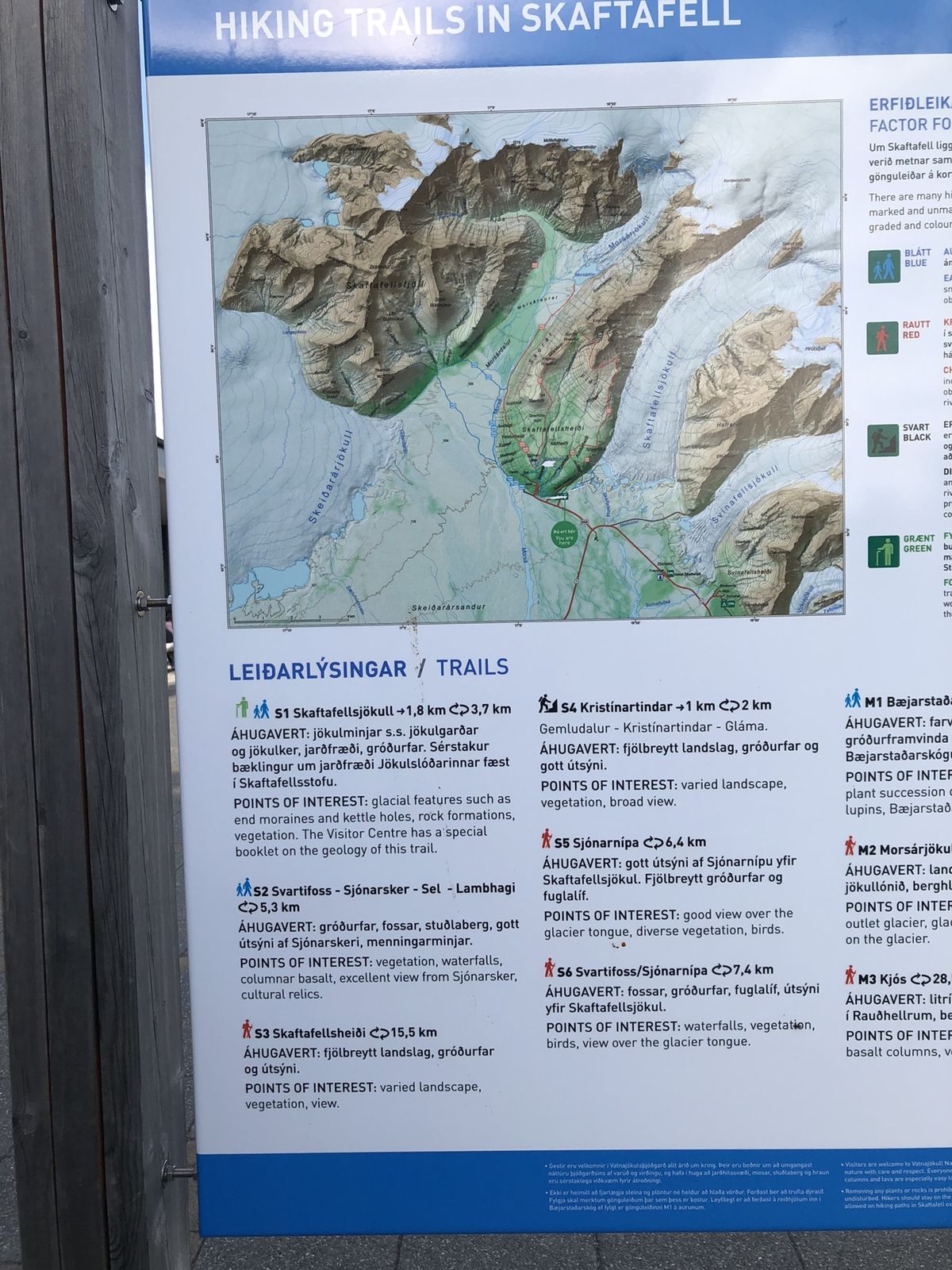
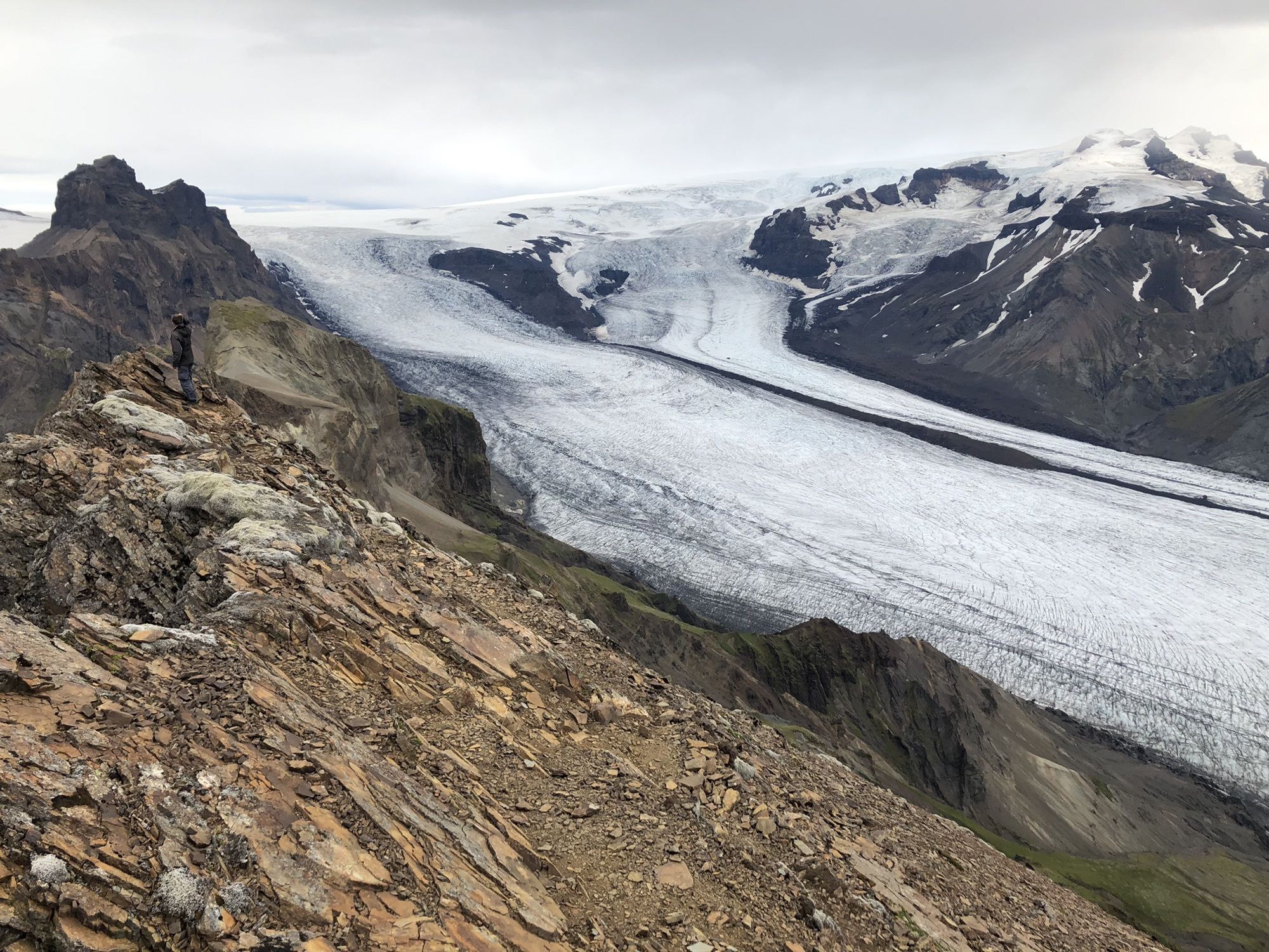
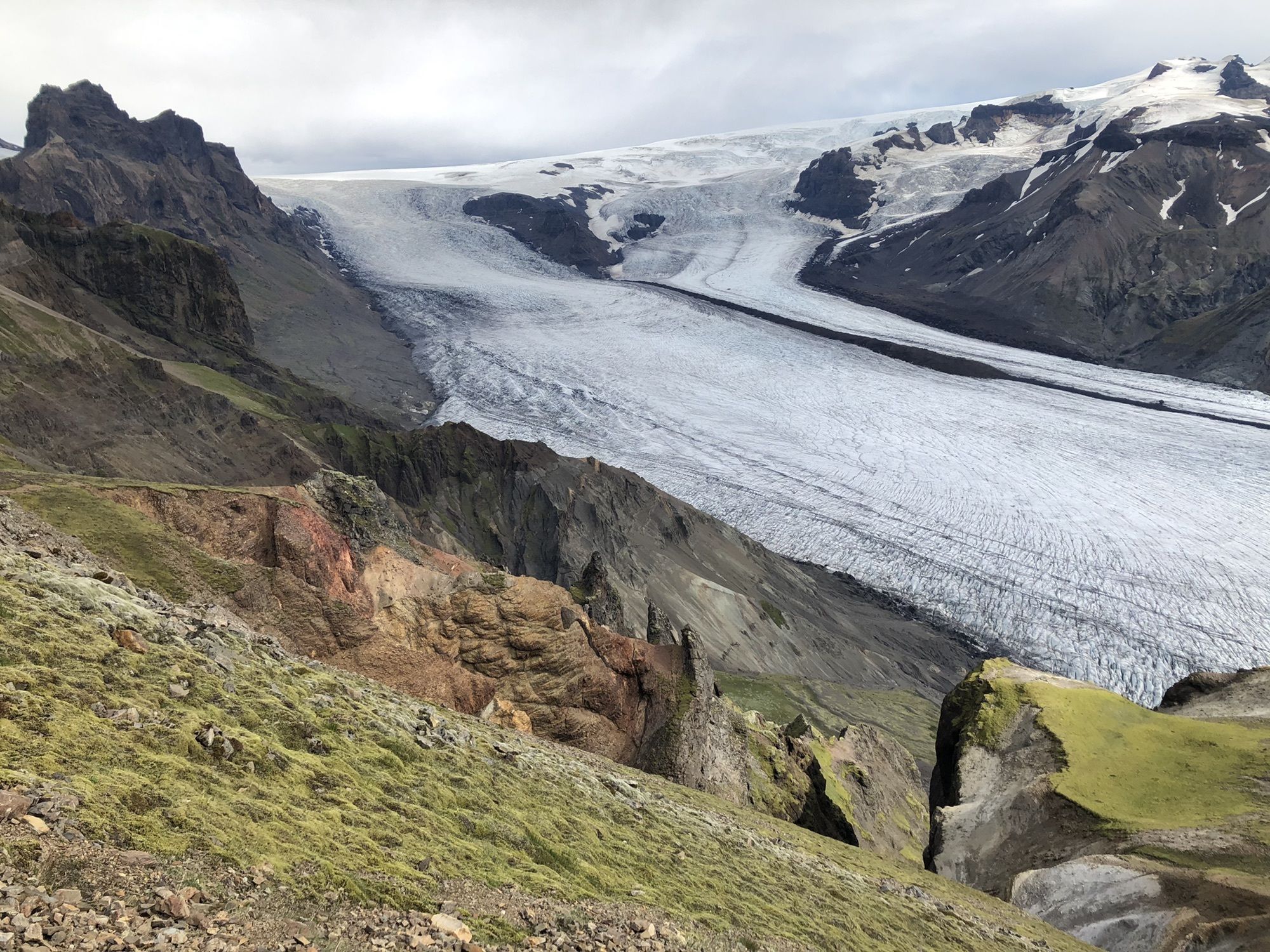
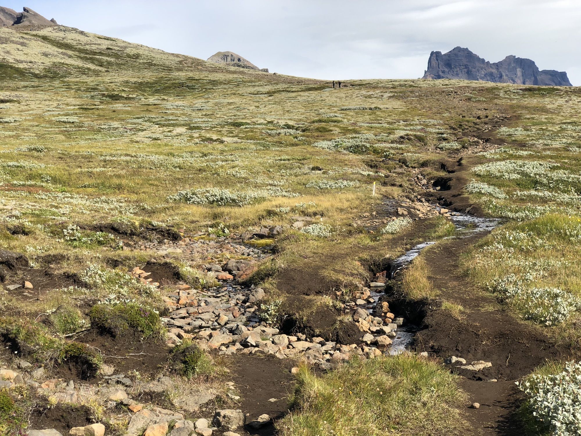

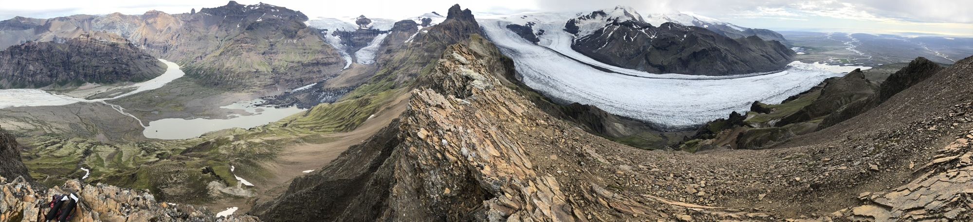
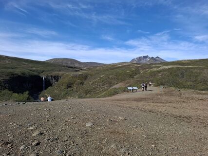
Follow the marked track, see also trail map picture in my pics. Recommend to do counterclockwise (as my recorded track) for better glacier views.
Hiking pole for last part to summit. Good shoes certainly.
Popular tours in the neighbourhood
-
5,0
Wasserfallrunde - Svatifoss - Skatafell-Nationalpark
lightPješačenje 7,22 km -
5,0
Skaftafell Cafeteria - Nafnlausifoss - Þjófafoss - Skaftafell
mediumPješačenje 13,3 km -
Skaftafell - Nafnlausifoss - Þjófafoss - Hundafoss
mediumPješačenje 10,2 km -
Sveitarfélagið Hornafjörður - Lambhagi - Nafnlausifoss - Þjófafoss
mediumPješačenje 8,61 km -
Skaftafell - Nafnlausifoss - Þjófafoss - Hundafoss
mediumPješačenje 8,94 km -
Skaftafell Cafeteria - Nafnlausifoss - Lambhagi - Skaftafell
mediumPješačenje 14,9 km

bergfex Tours


Ne propustite ponude i inspiraciju za vaš sljedeći odmor
Your e-mail address has been added to the mailing list.