


Photos from our users
-
 © Sonja UlmerCreated on 31.12.2023
 -
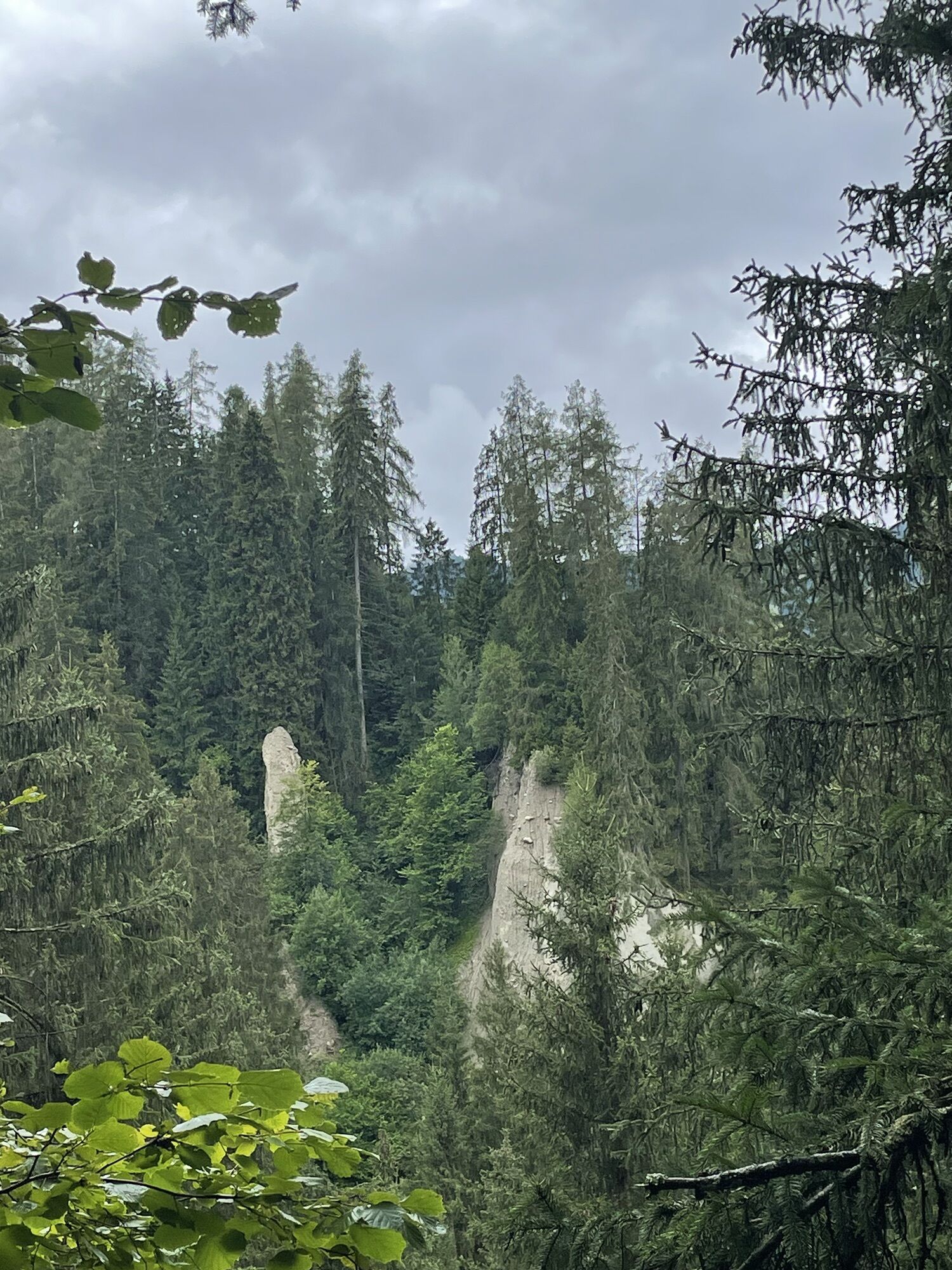
 © Johannes SchidaCreated on 05.08.2023
 -
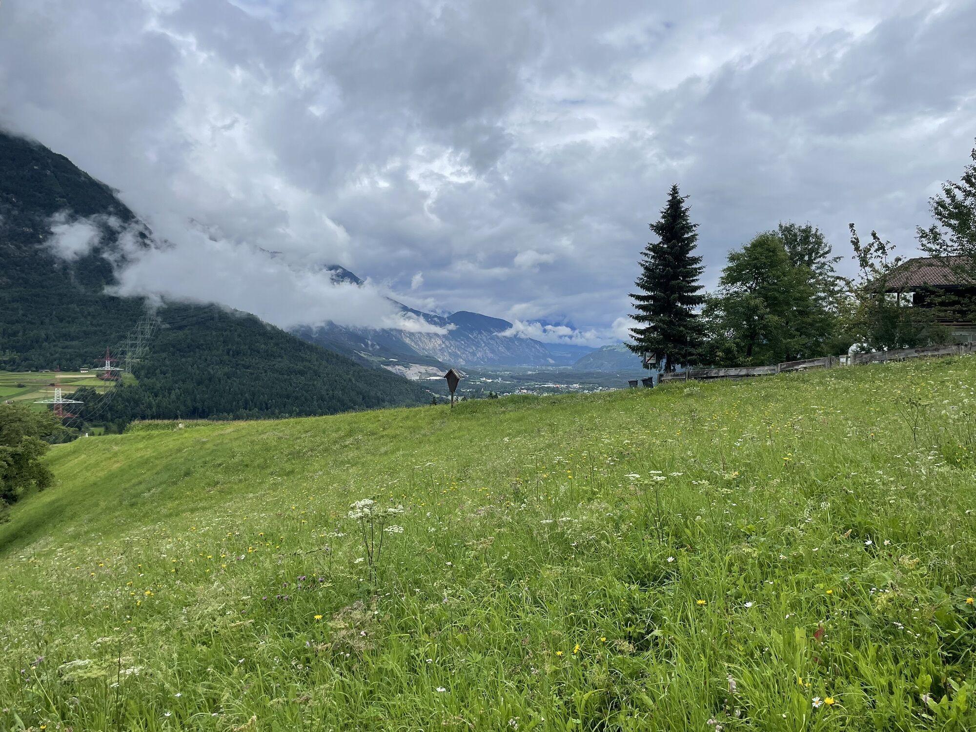
 © Johannes SchidaCreated on 05.08.2023
 -
 © Johannes SchidaCreated on 05.08.2023
 -
 © Johannes SchidaCreated on 05.08.2023
 -
 © Johannes SchidaCreated on 05.08.2023
 -
 © Johannes SchidaCreated on 05.08.2023
 -
 © Johannes SchidaCreated on 05.08.2023
 -
 © Johannes SchidaCreated on 05.08.2023
 -
 © Johannes SchidaCreated on 05.08.2023
 -
 © Johannes SchidaCreated on 05.08.2023
 -

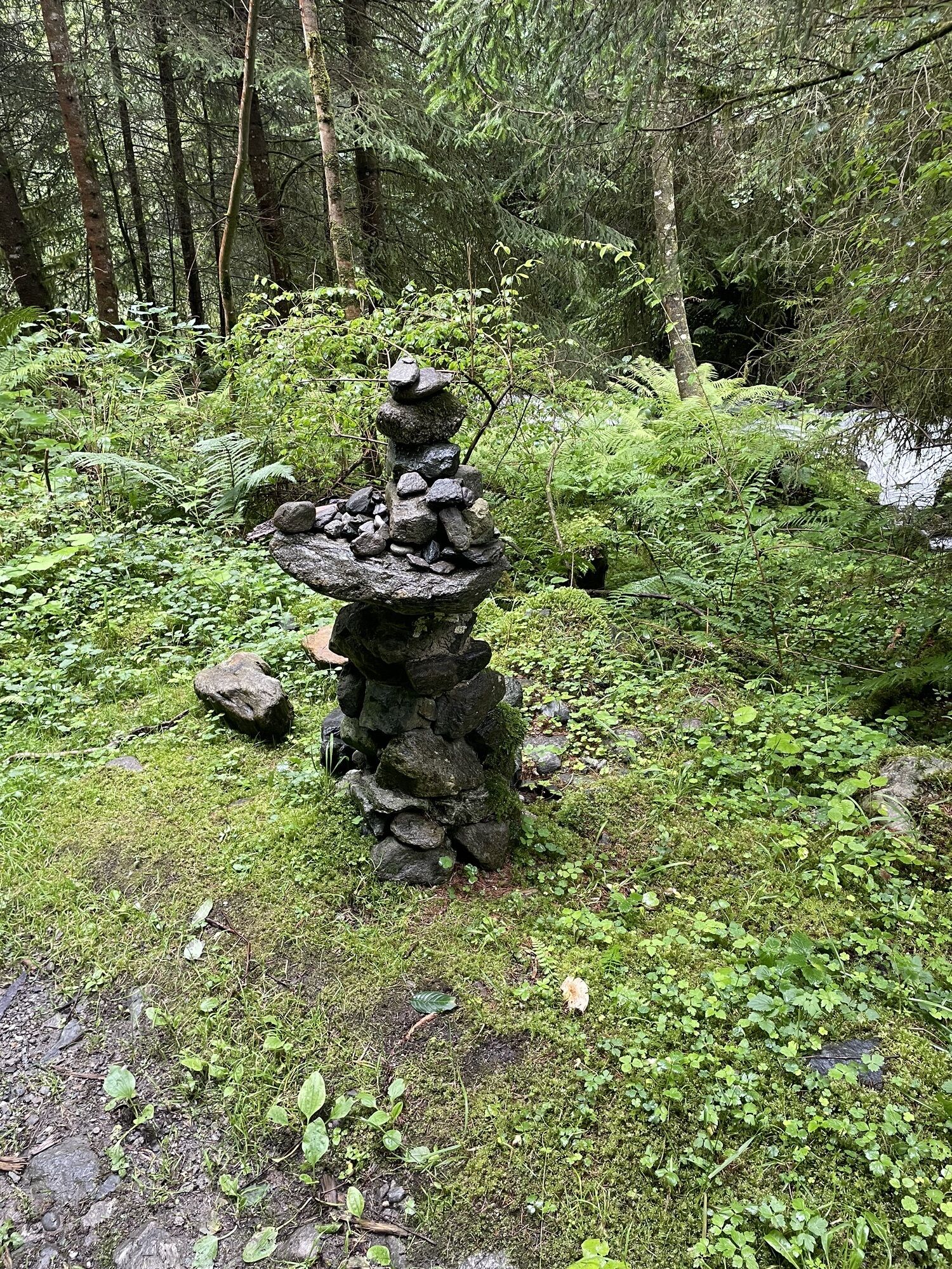
 © HeikoalaCreated on 14.05.2023
 -
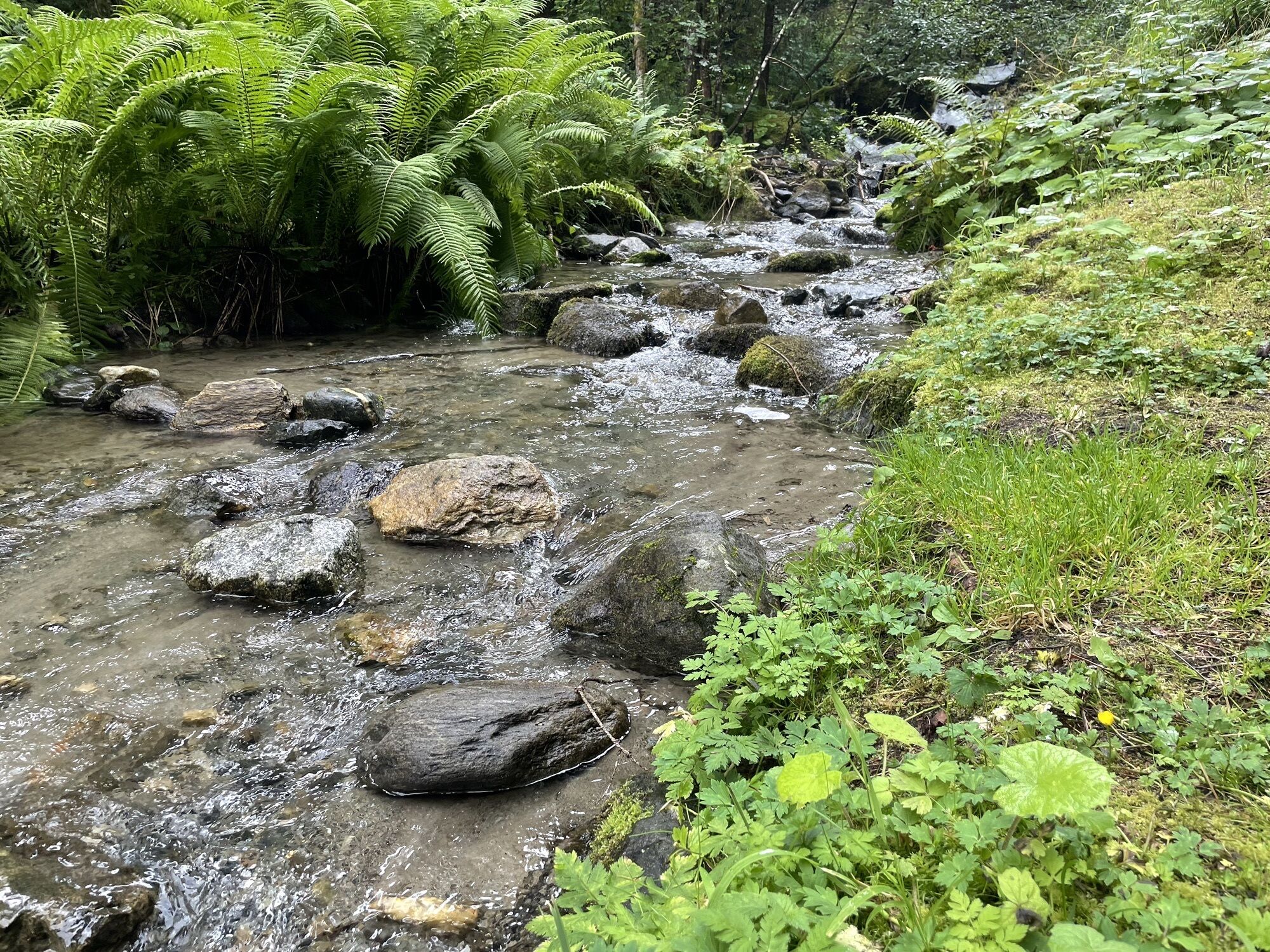
 © HeikoalaCreated on 14.05.2023


Vom Alpenhof gehts hinauf zum Arzkasen, Weisland und nach Aschland und anschließend kommt eine tolle rasante Abfahrt auf Asphaltpiste bis Nassereith. Immer der alten Bundesstraße folgen bis eine kleine...
Vom Alpenhof gehts hinauf zum Arzkasen, Weisland und nach Aschland und anschließend kommt eine tolle rasante Abfahrt auf Asphaltpiste bis Nassereith. Immer der alten Bundesstraße folgen bis eine kleine Brücke kommt.
Dort links und dann gleich wieder rechts bis zum Huschrauberlandeplatz. Weiter der B198 bis zur Mischwerkkurve. Direkt bei der Kurve beginnt der Radweg ins Gurgltal bis nach Imst, vorbei an der Knappenwelt, Kneippanlage und Reitplatz Piger.
Bei Imst kommt man ins Gewerbegebiet und weiter Richtung Süden - und nun immer am Inn entlang Richtung Osten. Rast machen könnt ihr bei der RaftingAlm in Haiming-Magerbach oder AREA47.
Von dort gehts immer leicht bergab und hoffentlich ohne Gegenwind dem Inn entlang bis nach Mötz.
Der Bundesstraße folgend bis Zein aufs Mieminger Plateau und weiters über die Moosalm und Gschwent wieder zurück zum Ausgangspunkt.
Area 47
Wohlfühlpension Alpenhof
3/6
3/6
Popular tours in the neighbourhood
-
4,6
Ehrwald / Drachensee / Coburger Hütte / Seebensee
mediumPješačenje 14,8 km -
4,9
EHRWALD | Seebensee und Drachensee
mediumPješačenje 14,1 km -
4,6
Faltegartenköpfl peak
mediumPješačenje 4,04 km -
4,4
Oetz - Lake Piburger See - Oetz
mediumPješačenje 7,16 km -
4,9
Sebensee/ Coburger Hütte
mediumPješačenje 18,7 km -
4,9
Ehrwald - Hoher Gang - Seebensee - Drachensee - Coburger Hütte
heavyPlaninarenje 14,6 km -
4,9
Gemeinde Ehrwald, hoher Gang Steig, Seebensee, Drachensee, Coburger Hütte
heavyPješačenje 17,5 km -
4,6
Trip Tirol ➤ Wanderung zur blauen Grotte Rosengartenschlucht Imst
mediumPješačenje 4,86 km -
4,6
Summit route Weather Cross from Hochoetz
mediumPješačenje 3,06 km -
5,0
"Miners trail"
mediumPješačenje 10,8 km
bergfex Tours


Ne propustite ponude i inspiraciju za vaš sljedeći odmor
Your e-mail address has been added to the mailing list.