Kufstein - Wallfahrtskirche Mariastein - Wallfahrtskirche (Basilika) Hl.Dominikus zu Mariathal - Pfarrkirche Maria Himmelfahrt
medium
Navigate
Navigate
Get this tour on your mobile
Kufstein - Wallfahrtskirche Mariastein - Wallfahrtskirche (Basilika) Hl.Dominikus zu Mariathal - Pfarrkirche Maria Himmelfahrt
medium
Cestovni bicikl
96,29
km
Scan the QR code and start navigation in the bergfex app

Hiking & Tracking


Distance
96,29
km
Duration
05:27
h
Ascent
678
m
Sea level
482 -
958
m
Track download
Kufstein - Wallfahrtskirche Mariastein - Wallfahrtskirche (Basilika) Hl.Dominikus zu Mariathal - Pfarrkirche Maria Himmelfahrt
medium
Cestovni bicikl
96,29
km


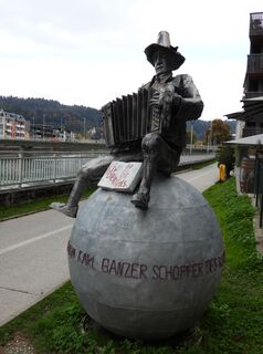
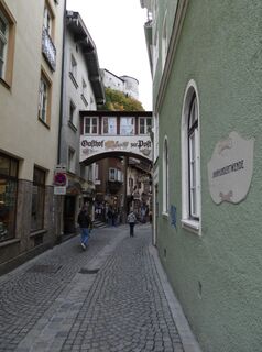
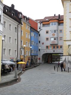
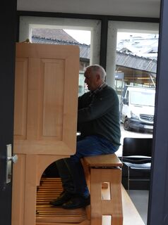
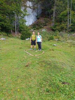
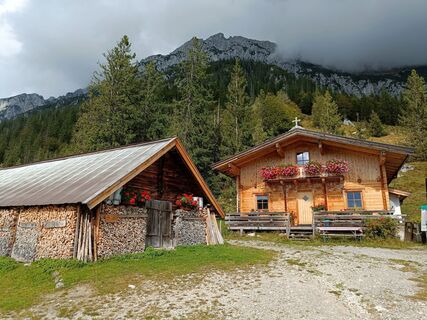
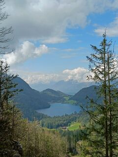
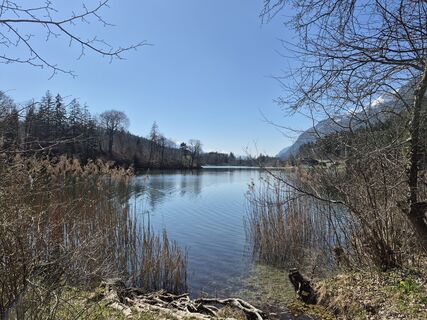
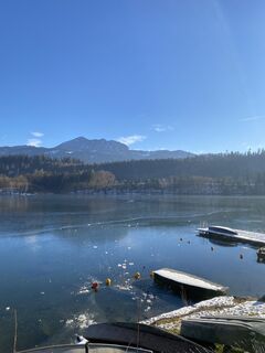
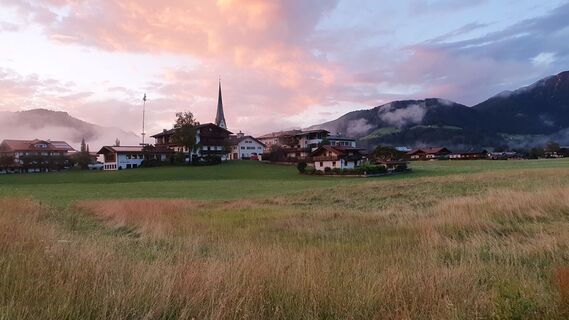
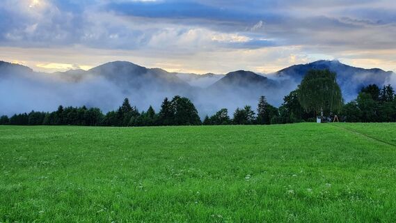
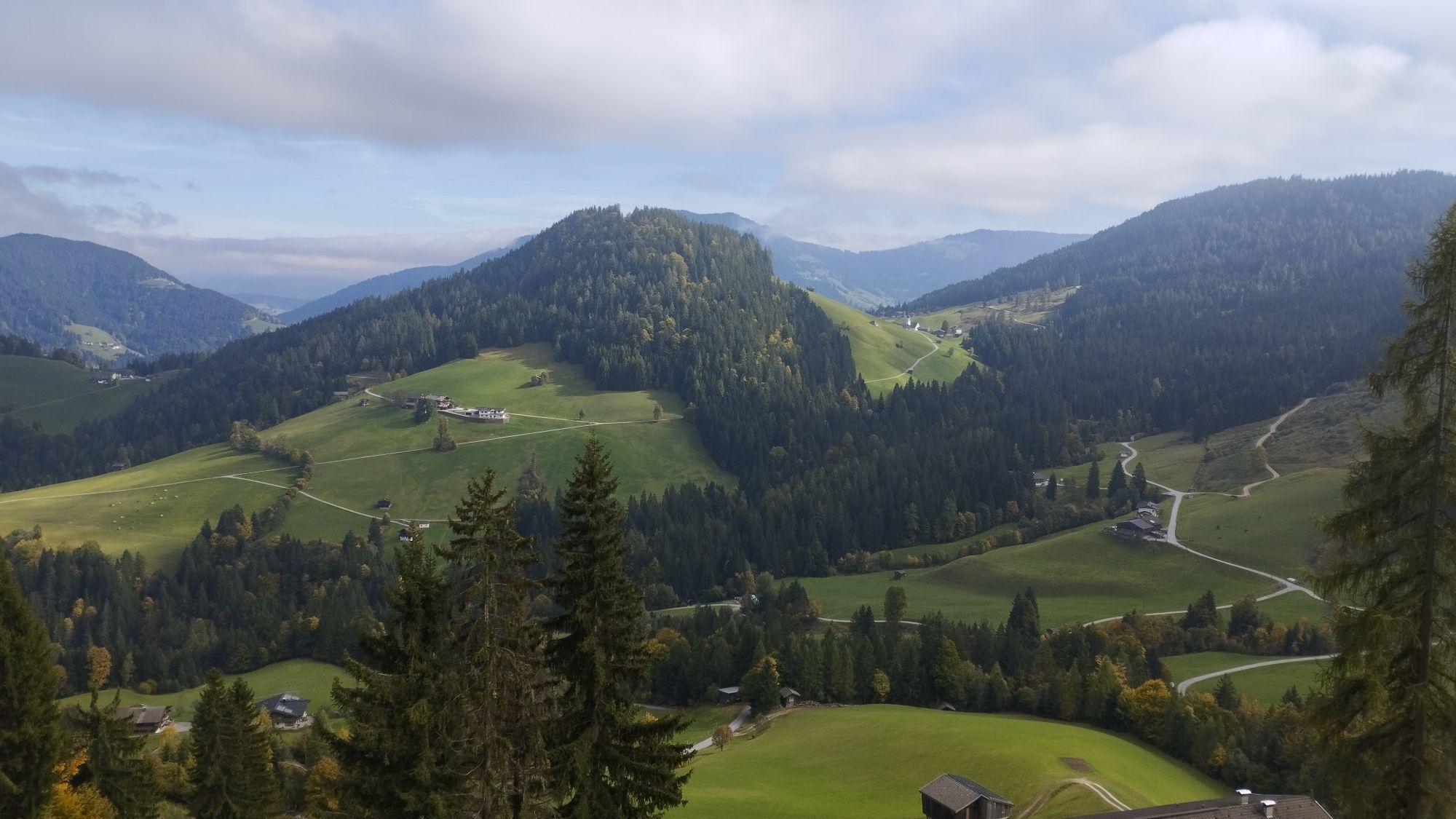
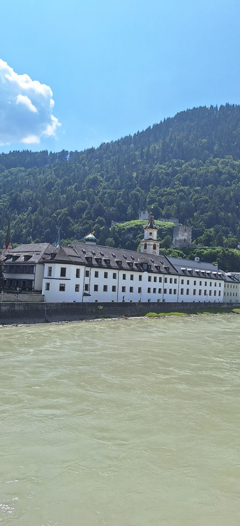
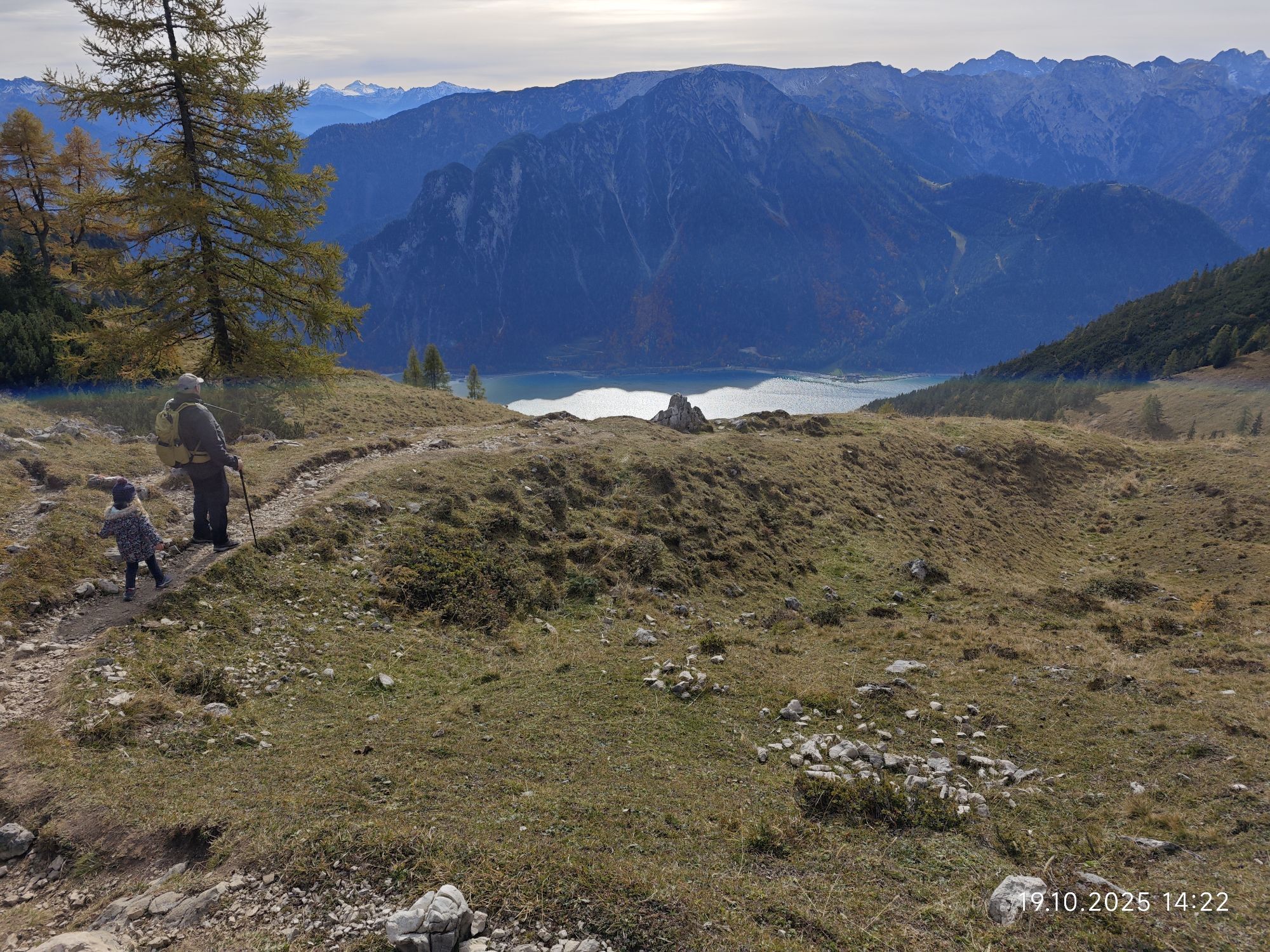
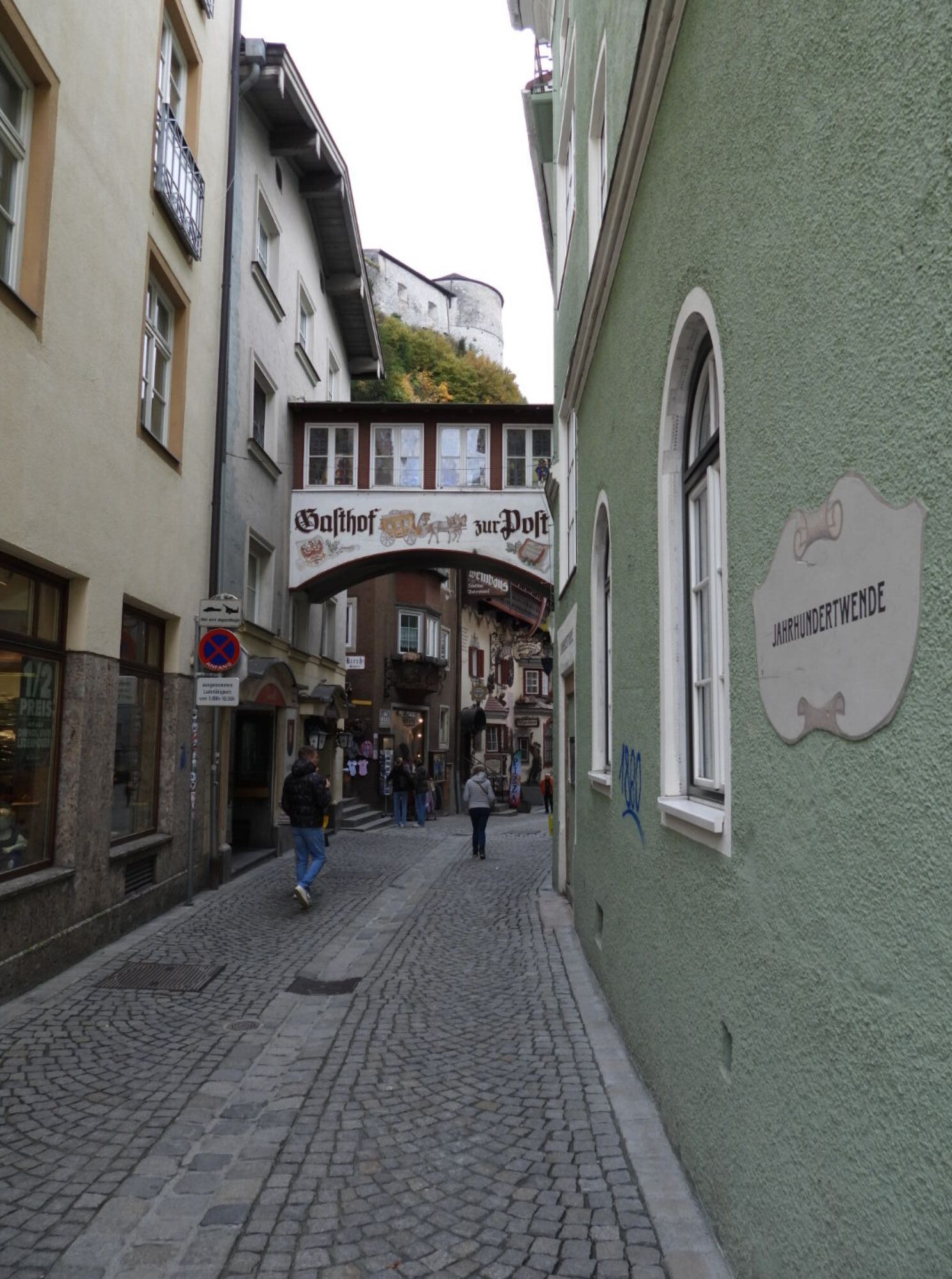
Photos from our users
-

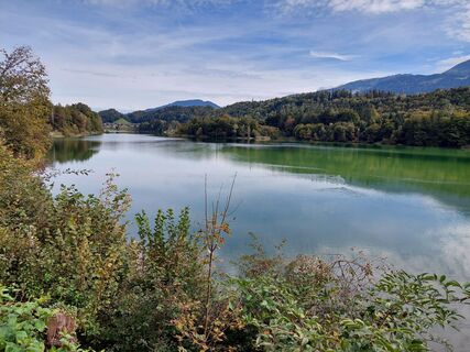
 © Walter KoflerCreated on 11.10.2025
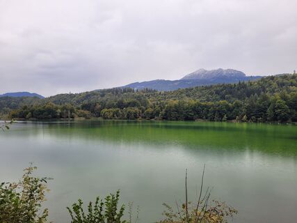
 -
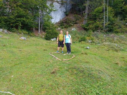
 © József VéghCreated on 18.09.2025
 -
 © Herbert RiederCreated on 04.09.2025
 -
 © Ernst PürimayrCreated on 20.06.2025
 -
 © Ernst PürimayrCreated on 20.06.2025
 -
 © Alexander SchröflCreated on 03.10.2022
 -
 © Alexander SchröflCreated on 03.10.2022
 -
 © MaSiCreated on 19.10.2025
 -
 © MaSiCreated on 19.10.2025
 -
 © MaSiCreated on 19.10.2025
 -
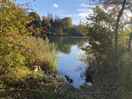
 © kees van de waterCreated on 14.10.2025
 -
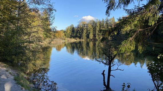
 © kees van de waterCreated on 14.10.2025
 -
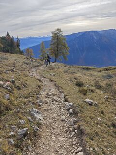
 © kees van de waterCreated on 14.10.2025
 -
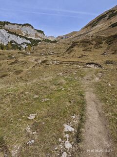
 © kees van de waterCreated on 14.10.2025
 -
 © kees van de waterCreated on 14.10.2025
 -
 © kees van de waterCreated on 14.10.2025
 -
 © kees van de waterCreated on 14.10.2025
 -
 © kees van de waterCreated on 14.10.2025
 -
 © kees van de waterCreated on 14.10.2025
 -
 © kees van de waterCreated on 14.10.2025
 -
 © kees van de waterCreated on 14.10.2025
 -
 © kees van de waterCreated on 14.10.2025
 -
 © kees van de waterCreated on 14.10.2025
 -
 © kees van de waterCreated on 14.10.2025
 -
 © kees van de waterCreated on 14.10.2025
 -
 © kees van de waterCreated on 14.10.2025
 -
 © kees van de waterCreated on 14.10.2025
 -
 © kees van de waterCreated on 14.10.2025
 -
 © Manfred PrebioCreated on 08.10.2025
 -
 © Manfred PrebioCreated on 08.10.2025
 -
 © Manfred PrebioCreated on 08.10.2025
 -
 © Josef ReitbergerCreated on 06.10.2025
 -
 © Josef ReitbergerCreated on 06.10.2025
 -
 © Alexandra KaufmannCreated on 03.10.2025
 -
 © József VéghCreated on 28.09.2025
 -
 © József VéghCreated on 28.09.2025
 -
 © József VéghCreated on 28.09.2025
 -
 © József VéghCreated on 28.09.2025
 -

 © Hans Auer 2Created on 22.07.2025
 -
 © Manfred PrebioCreated on 14.06.2025
 -
 © Charly68Created on 02.04.2025
 -
 © Sven KrieblinCreated on 28.12.2024
 -
 © Gerrit van der LindeCreated on 01.07.2022
 -
 © Gerrit van der LindeCreated on 01.07.2022
 -
 © Gerrit van der LindeCreated on 01.07.2022


Route
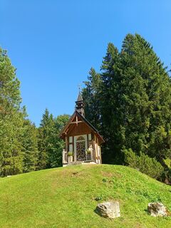
Notburgakapelle
(518 m)
Place of worship
11,6 km
Friedenskapelle
(643 m)
Place of worship
17,7 km
Heiliger Georg
(920 m)
Place of worship
38,7 km
Wallfahrtskirche (Basilika) Hl.Dominikus zu Mariathal
(538 m)
Place of worship
55,8 km
Schlöglhofkapelle
(503 m)
Place of worship
79,7 km
Pfarrkirche Heiliger Johannes der Täufer
(590 m)
Place of worship
86,0 km
Pfarrkirche Heiliger Ägidius
(581 m)
Place of worship
90,6 km
Route
Kufstein - Wallfahrtskirche Mariastein - Wallfahrtskirche (Basilika) Hl.Dominikus zu Mariathal - Pfarrkirche Maria Himmelfahrt
medium
Cestovni bicikl
96,29
km
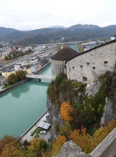
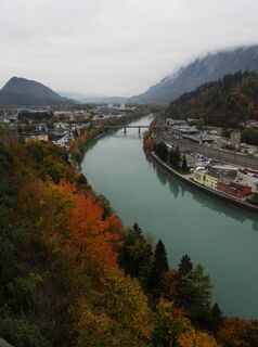
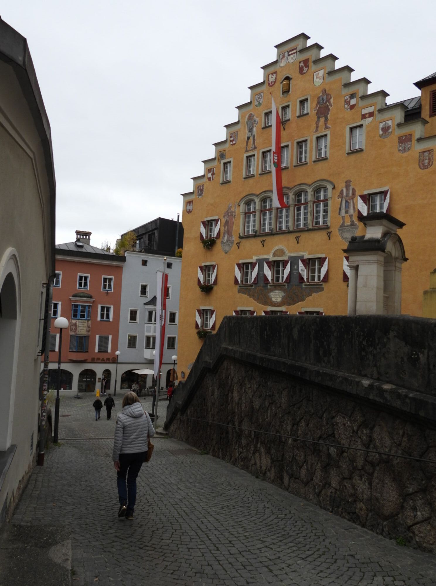
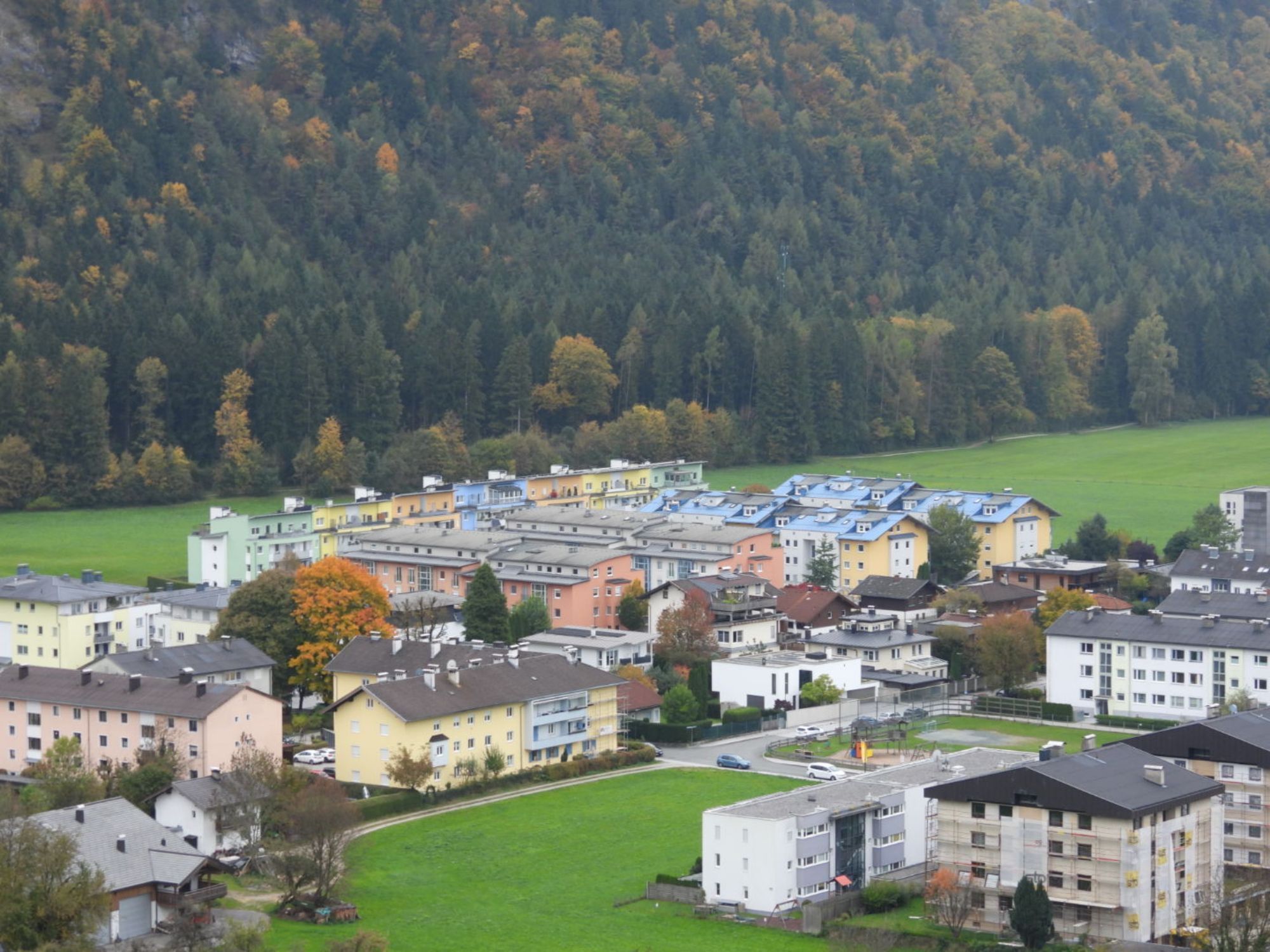
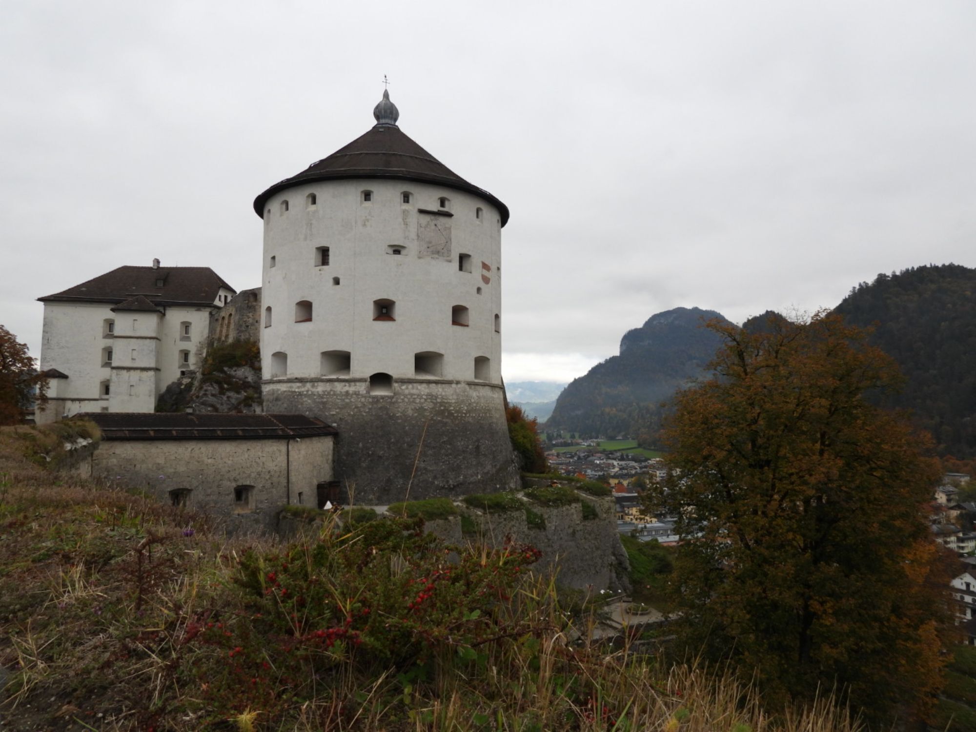
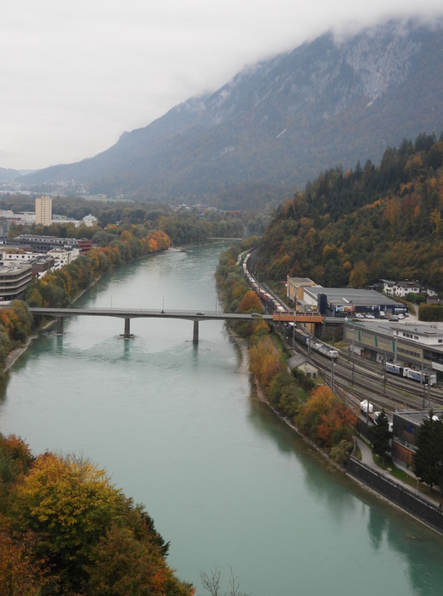
Kufstein
(487 m)
City
0,0 km
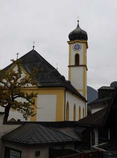
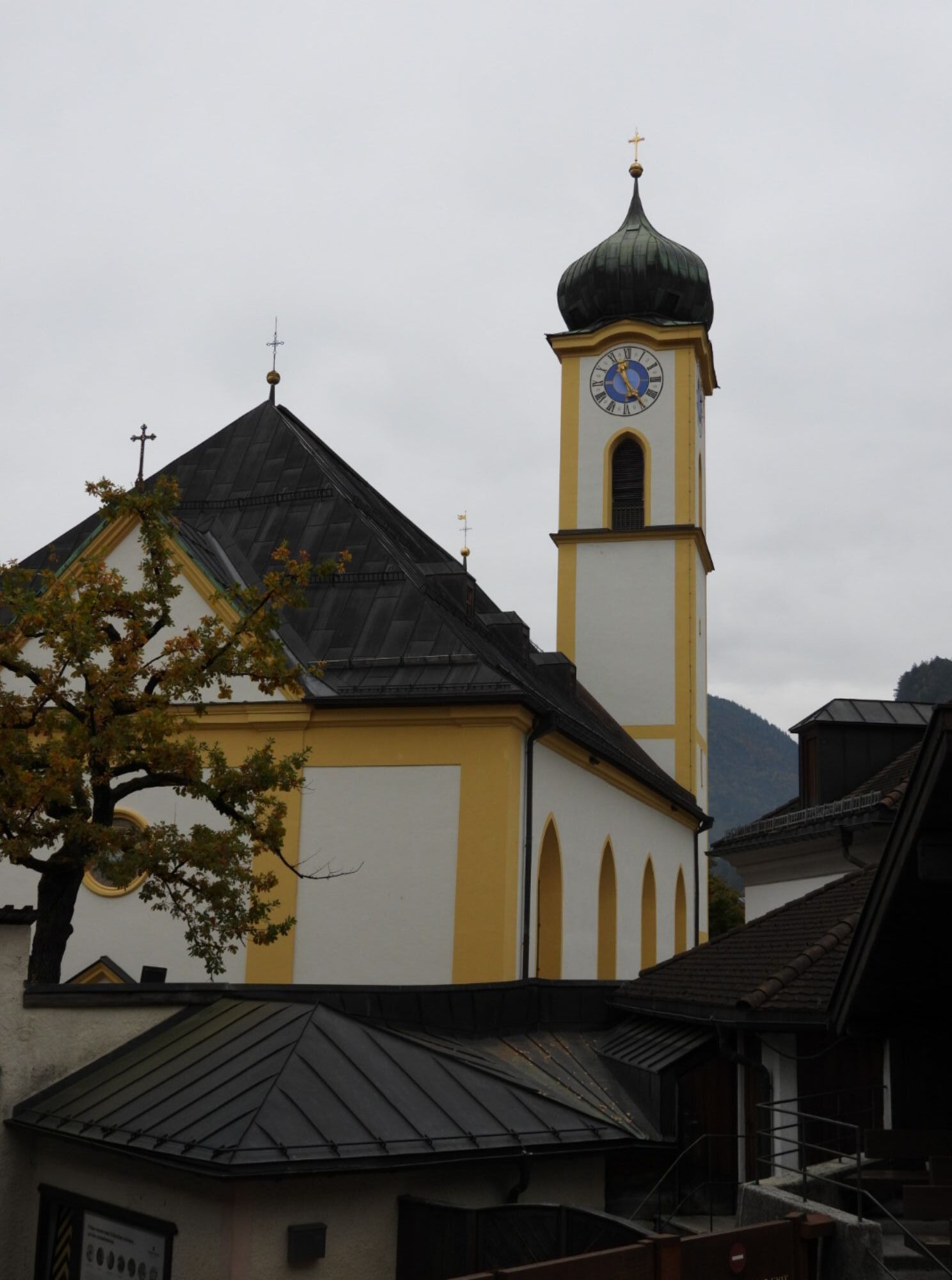
Stadtpfarrkirche Heiliger Vitus
(499 m)
Place of worship
0,7 km
Mitterndorf
(485 m)
Neighbourhood
1,1 km
Zell
(498 m)
Neighbourhood
3,3 km
Tiroler Fliegerstube
(485 m)
Restaurant
6,7 km
Schaftenau
(510 m)
Settlement
8,2 km
Unterlangkampfen
(502 m)
Village
9,4 km
Niederbreitenbach
(519 m)
Village
11,5 km
Gasthof Dampflwirt
(517 m)
Restaurant
11,5 km
Notburgakapelle
(518 m)
Place of worship
11,6 km
Brand
(554 m)
Settlement
13,5 km
Gasthof Kammerhof
(561 m)
Restaurant
14,0 km
Mariastein
(587 m)
Village
14,1 km
Wallfahrtskirche Mariastein
(576 m)
Place of worship
14,1 km
Angerberg
(647 m)
Village
17,1 km
Friedenskapelle
(643 m)
Place of worship
17,7 km
Dorf
(642 m)
Settlement
17,8 km
Dorfer Kapelle
(658 m)
Place of worship
18,3 km
Glatzham
(644 m)
Settlement
19,6 km
Gattererkapelle
(608 m)
Place of worship
21,5 km
Kleinsöll
(592 m)
Settlement
21,6 km
Gasthaus Krämerwirt
(603 m)
Restaurant
21,6 km
Strass
(552 m)
Settlement
22,7 km
Kämpferkapelle
(508 m)
Place of worship
23,2 km
Pfarrkirche Sankt Petrus
(510 m)
Place of worship
23,4 km
Breitenbach am Inn
(506 m)
Village
23,5 km
Ausserdorf
(507 m)
Settlement
24,1 km
Antoniuskapelle
(551 m)
Place of worship
25,3 km
Haus
(576 m)
Settlement
26,8 km
Moosenkapelle zum Heiligen Josef
(574 m)
Place of worship
28,5 km
Mosen
(582 m)
Settlement
28,8 km
Moosen
(583 m)
Settlement
29,1 km
Seerose
(572 m)
Restaurant
30,3 km
Fischerstube
(567 m)
Restaurant
30,4 km
Genuss Schmied'n Stadlerhof
(575 m)
Restaurant
31,2 km
Ebnat
(529 m)
Neighbourhood
32,4 km
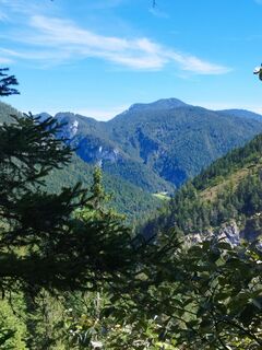
Brandenberg
(919 m)
Village
38,6 km
Ascherwirt
(919 m)
Restaurant
38,7 km
Heiliger Georg
(920 m)
Place of worship
38,7 km
Neuwirt
(917 m)
Restaurant
38,8 km
Hachakapelle
(828 m)
Place of worship
42,8 km
Gasthof Gwercherwirt
(681 m)
Restaurant
45,3 km
Kapelle Pinegg
(675 m)
Place of worship
45,4 km
Pinegg
(675 m)
Settlement
45,5 km
Aschau
(868 m)
Village
47,3 km
Wallfahrtskirche (Basilika) Hl.Dominikus zu Mariathal
(538 m)
Place of worship
55,8 km
Gasthaus Mariathal
(536 m)
Restaurant
55,9 km
Mariatal
(533 m)
Neighbourhood
56,0 km
Radetzkyweg
(532 m)
Neighbourhood
56,1 km
Ebnat
(529 m)
Neighbourhood
56,4 km
Achenrain
(526 m)
Neighbourhood
57,1 km
Bergfeld
(521 m)
Neighbourhood
57,5 km
Zentrum
(518 m)
Neighbourhood
57,7 km
Kramsach
(519 m)
Village
57,8 km
Kuglgasse
(518 m)
Neighbourhood
57,8 km
Dreieckkapelle
(516 m)
Place of worship
58,0 km
Claudiaplatz
(515 m)
Neighbourhood
58,0 km
Unterkramsach
(514 m)
Neighbourhood
58,2 km
Badl
(514 m)
Neighbourhood
58,6 km
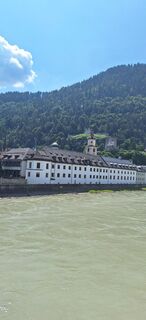
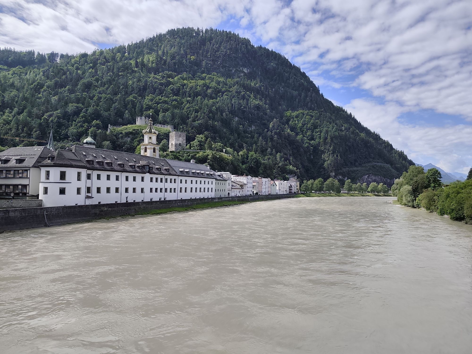
Rattenberg
(514 m)
City
58,9 km
Radfeld
(511 m)
Village
60,1 km
Breitenbach am Inn
(506 m)
Village
67,0 km
Liesfeld
(504 m)
Settlement
69,4 km
Wörgl
(513 m)
City
77,5 km
Schlöglhofkapelle
(503 m)
Place of worship
79,7 km
Angath
(499 m)
Village
80,3 km
Kastengstatt
(504 m)
Settlement
80,9 km
Kirchbichl
(516 m)
Village
82,2 km
Pfarrkirche Maria Himmelfahrt
(515 m)
Place of worship
82,7 km
Schroll Tenne
(512 m)
Restaurant
82,8 km
Bichlwang
(518 m)
Settlement
83,9 km
Bad Häring
(590 m)
Village
85,9 km
Pfarrkirche Heiliger Johannes der Täufer
(590 m)
Place of worship
86,0 km
Lourdeskapelle
(581 m)
Place of worship
86,5 km
Osterndorf
(579 m)
Settlement
86,5 km
Habring
(621 m)
Settlement
87,6 km
Bierol Taproom & Restaurant
(581 m)
Restaurant
89,5 km
Sonnendorf
(581 m)
Settlement
89,5 km
Kirchenwirt
(583 m)
Restaurant
90,5 km
Schwoich
(578 m)
Village
90,6 km
Pfarrkirche Heiliger Ägidius
(581 m)
Place of worship
90,6 km
Neuwirt
(576 m)
Restaurant
90,6 km
Moosham
(574 m)
Settlement
91,0 km
Am Bach
(557 m)
Settlement
91,6 km
Ried
(552 m)
Settlement
92,0 km
Russland
(535 m)
Corridor/terrain
92,5 km
Endach
(501 m)
Neighbourhood
94,5 km
Mitterndorf
(485 m)
Neighbourhood
95,6 km
Kufstein
(487 m)
City
96,3 km
No reviews yet
Webcams of the tour
-
Thiersee - Mitterland - Schneeberglifte
-
Thiersee - Mitterland - Schneeberglifte
-
Thiersee - Mitterland - Schneeberglifte
-
Pinzgerhof Reith i.A.
-
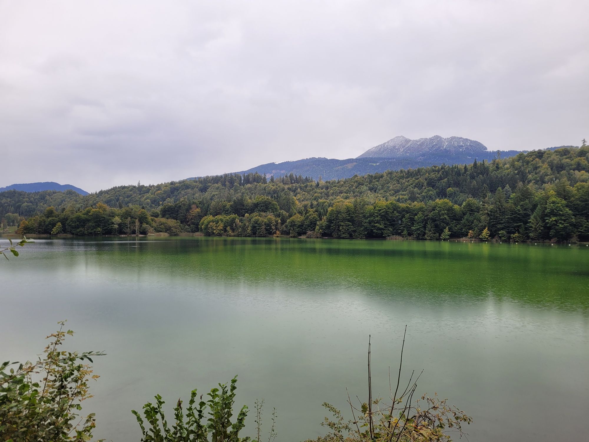
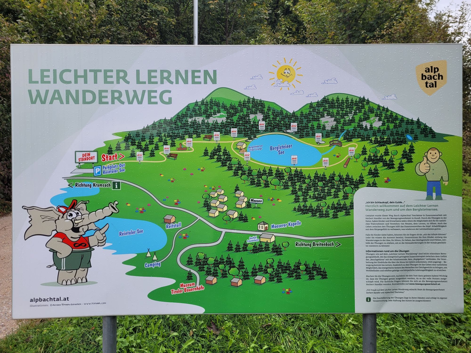
Reintalersee, Kramsach
-
Alpbachtal - Reitherkogelbahn
-
Hochfeldlift Tal
-
Weinbergerhaus - Brentenjoch
-
Thiersee - Mitterland - Schneeberglifte
-
Pendlinghaus - Kufstein
-
Pendlinghaus - Kufstein
-
Thiersee - Mitterland - Schneeberglifte
-
Thiersee - Ticklhof
-
Langlaufzentrum Schwoich
-
Drachental
-
Drachental
-
Drachental
-
Drachental
-
Drachental
-
Drachental
-
Drachental
-
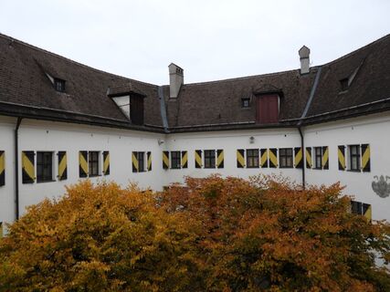
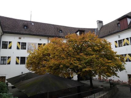
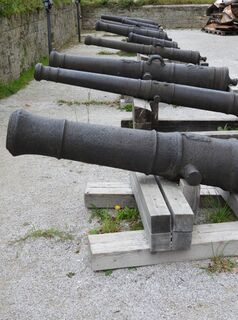
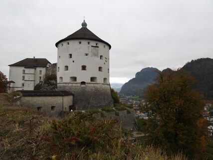
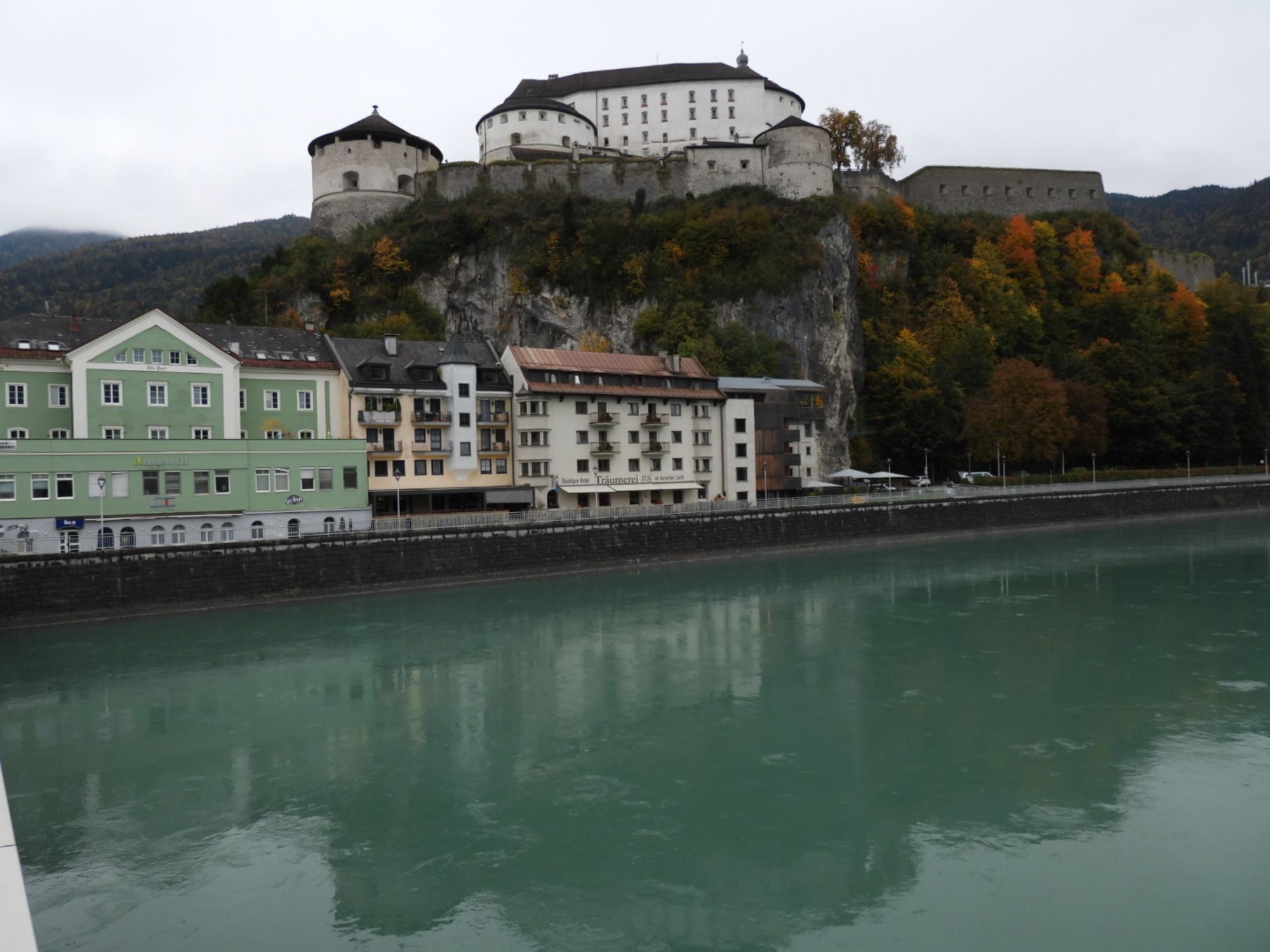
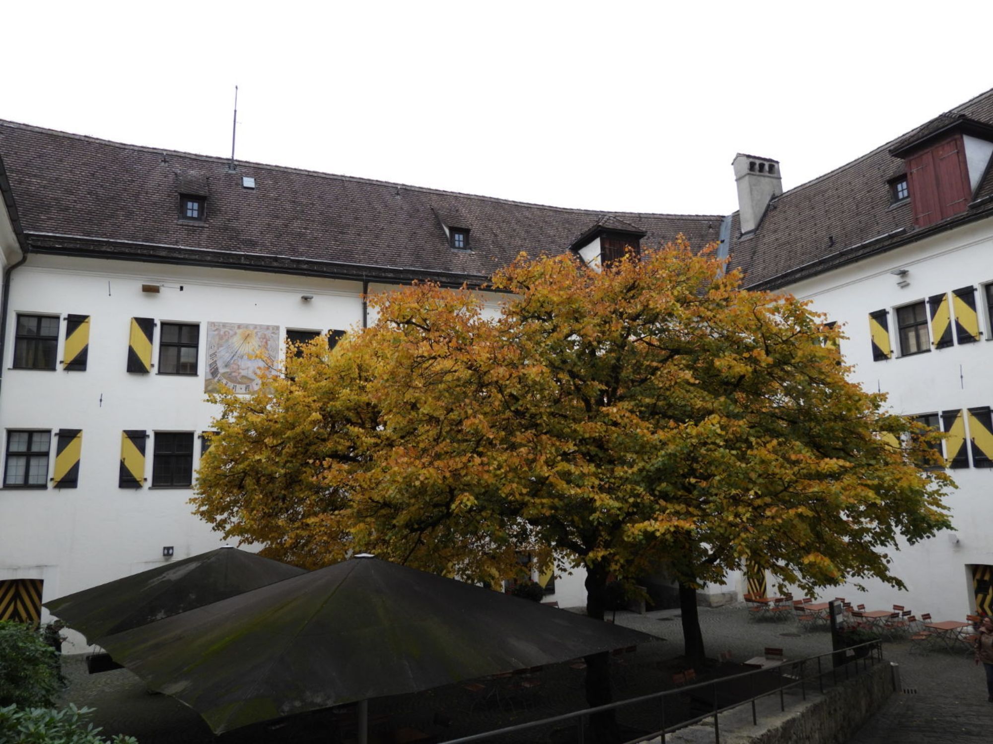
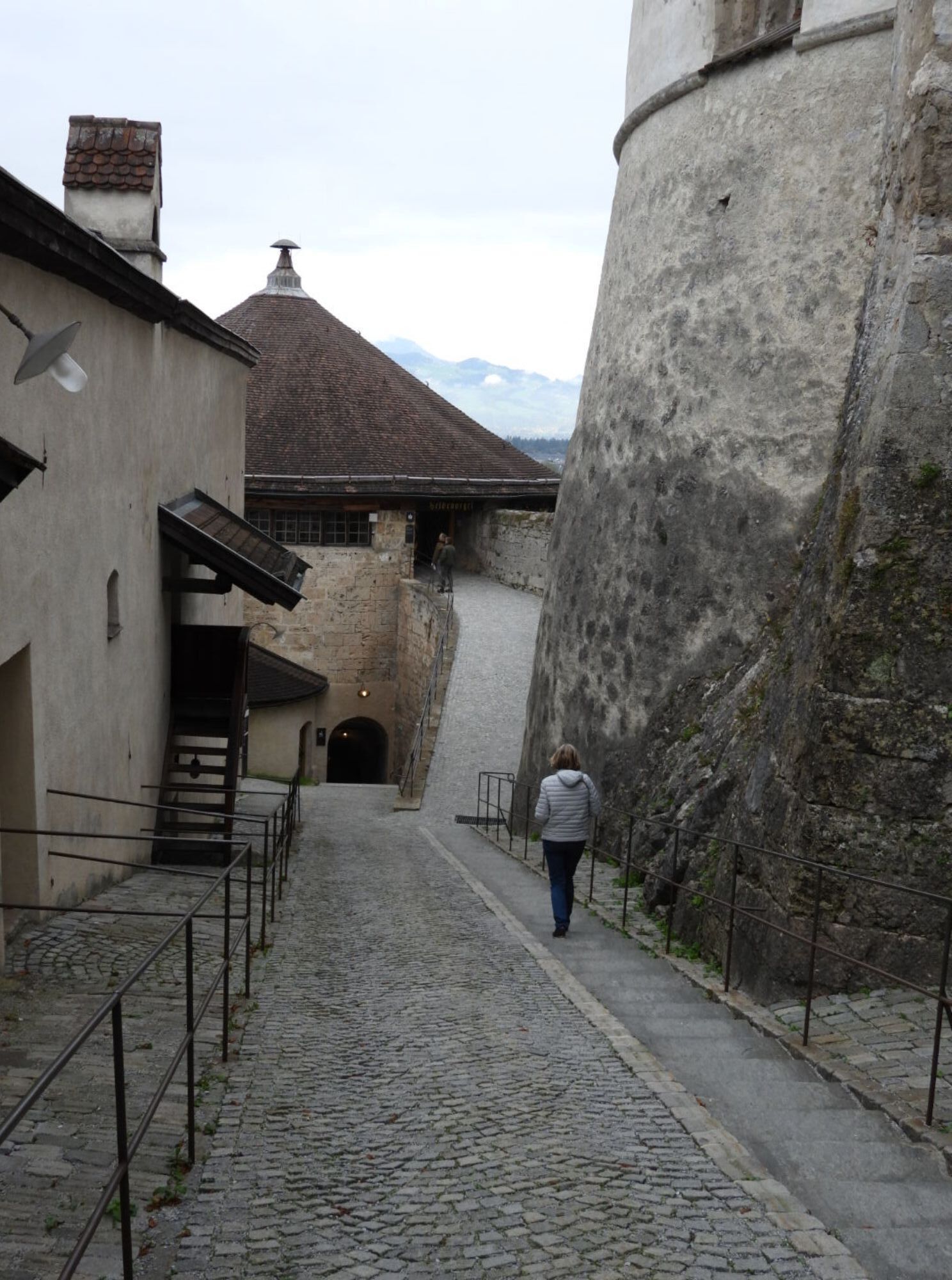
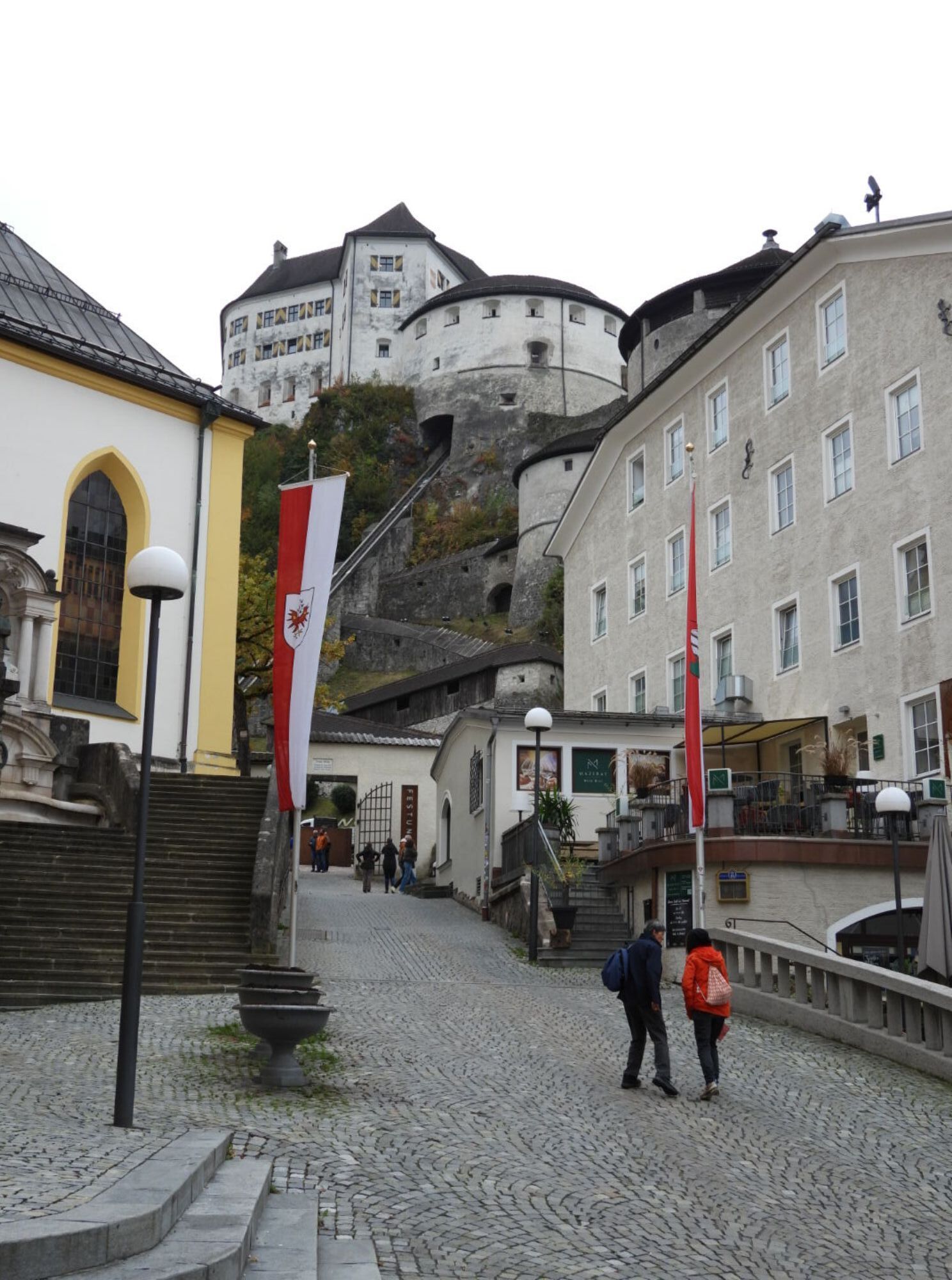
Festung Kufstein
Popular tours in the neighbourhood
-
4,8
Rosskopf
lightPješačenje 7,02 km -
2,5
Kundler Klamm
lightPješačenje 6,33 km -
5,0
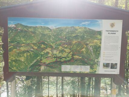
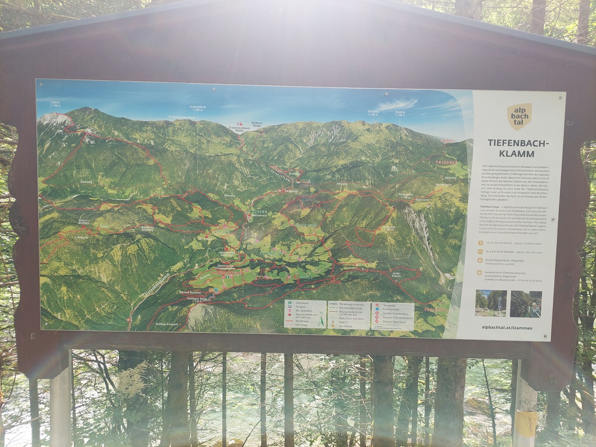
Tiefenbachklamm
lightPješačenje 12,2 km -
4,8
3-Gipfel-Tour Alpbach
mediumPješačenje 6,27 km -
4,8
Reintalersee-Umrundung
lightPješačenje 4,79 km -
Buchacker Eishöhle (Nr. 1/H4)
Pješačenje 20,7 km -
4,8
465 Rund um den Guffert
mediumMountainbike 40,7 km -
5,0
Bayreuther Hütte
mediumMountainbike 18,2 km -
4,8
Tiefenbach klamm.
mediumPješačenje 9,47 km -
5,0
Horlerstiegl - Feldalphorn, Wildschönau
lightPješačenje 8,31 km
bergfex Tours

Over 550.000 tour suggestions, detailed maps and an intuitive route planner make the app a must-have for all nature enthusiasts.

Ne propustite ponude i inspiraciju za vaš sljedeći odmor
Subscribe to the newsletter
Error
An error has occurred. Please try again.
Thank you for your registration
Your e-mail address has been added to the mailing list.
Tours throughout Europe
Austrija
Švicarska
Njemačka
Italija
Slovenija
Francuska
Nizozemska
Belgija
Poljska
Lihtenštajn
Češka
Slovačka
Španija
Hrvatska
Bosna i Hercegovina
Luksemburg
Andora
Portugal
Island
Ujedinjeno Kraljevstvo
Irska
Grčka
Albanija
Sjeverna Makedonija
Malta
Norveška
Crna Gora
Moldova
Kosovo
Mađarska
San Marino
Rumunjska
Estonija
Latvija
Bjelorusija
Cipar
Litva
Srbija
Bugarska
Monako
Danska
Švedska
Finska