Inntalrunde
light
Navigate
Navigate
Get this tour on your mobile
Inntalrunde
light
Cestovni bicikl
55,40
km
Scan the QR code and start navigation in the bergfex app

Hiking & Tracking


Distance
55,40
km
Duration
02:00
h
Ascent
800
m
Sea level
635 -
840
m
Track download
Inntalrunde
light
Cestovni bicikl
55,40
km


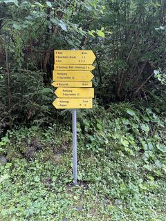
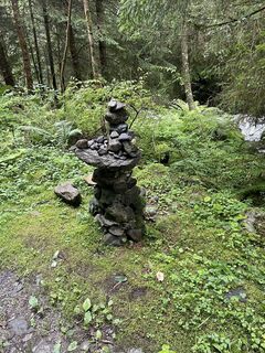
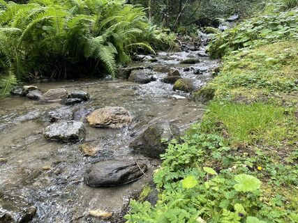
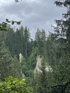
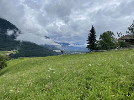
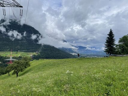
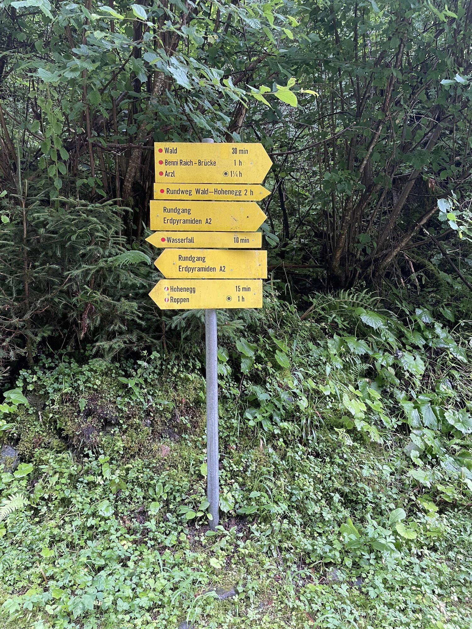
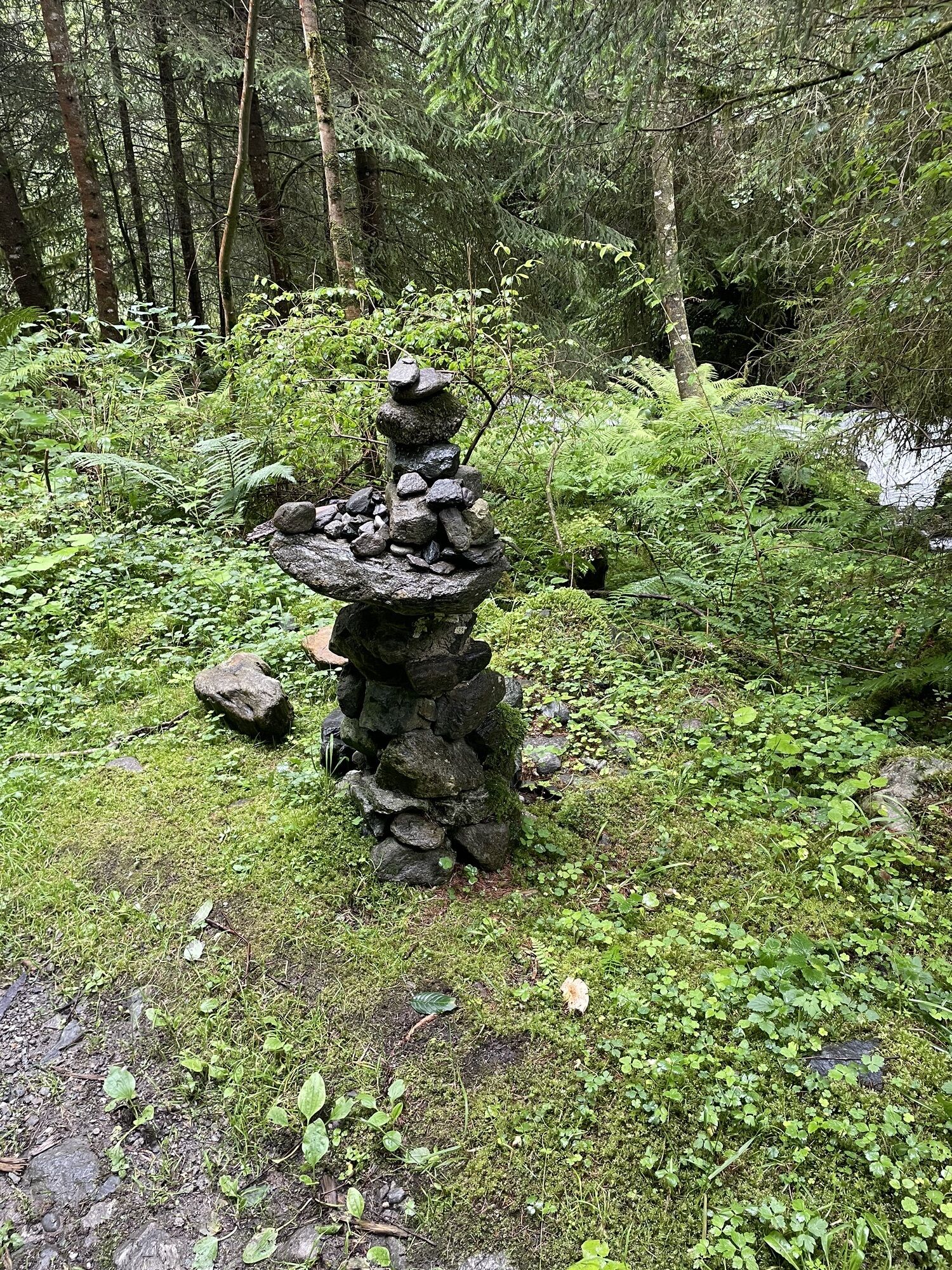
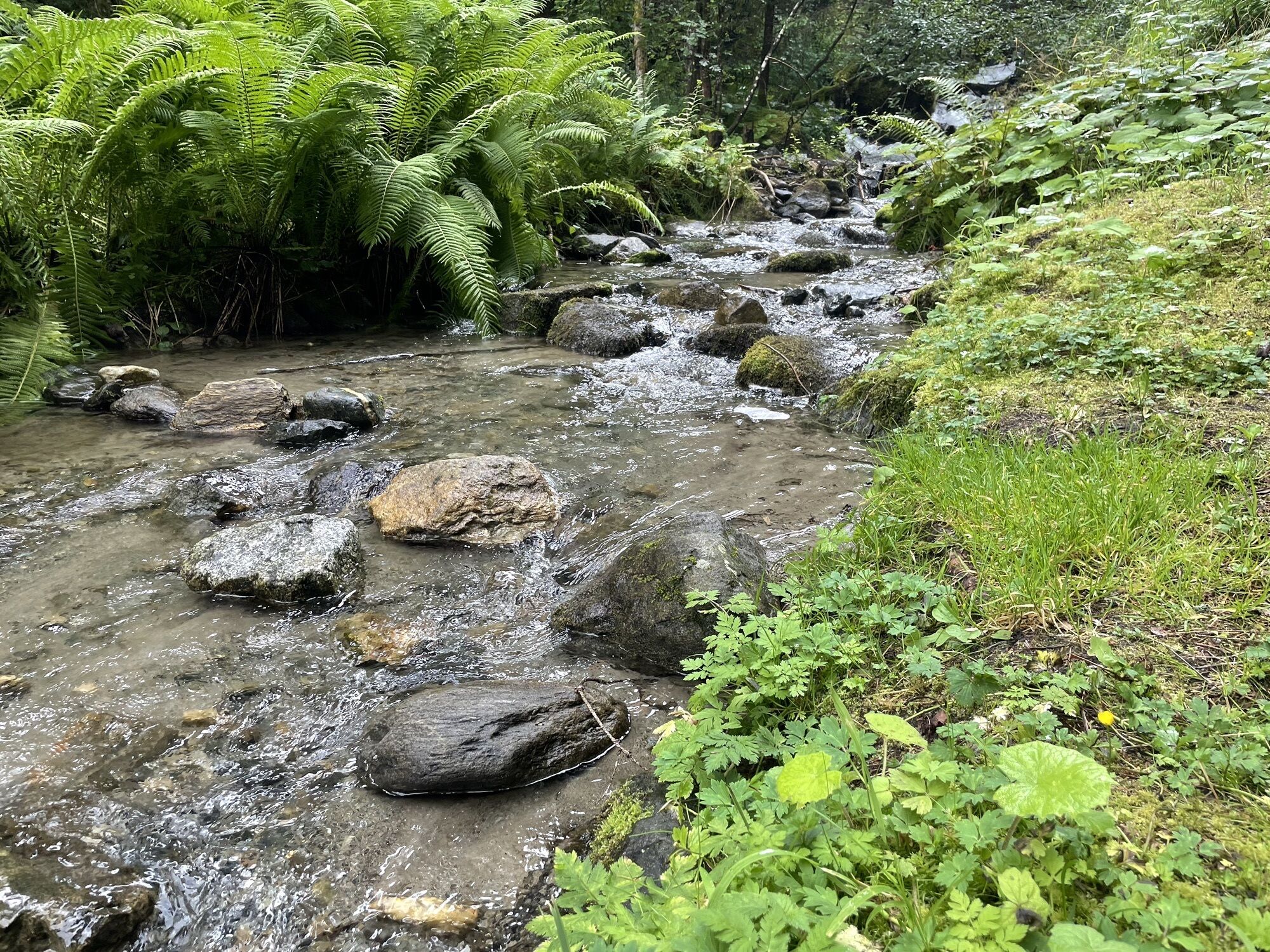
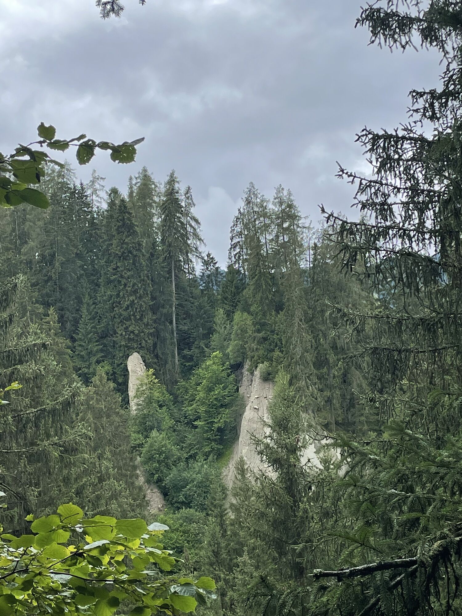
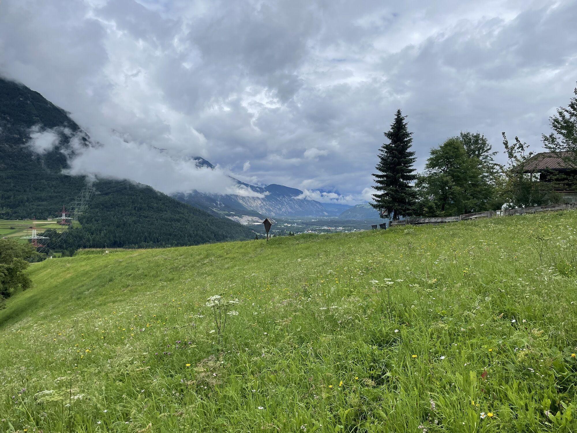
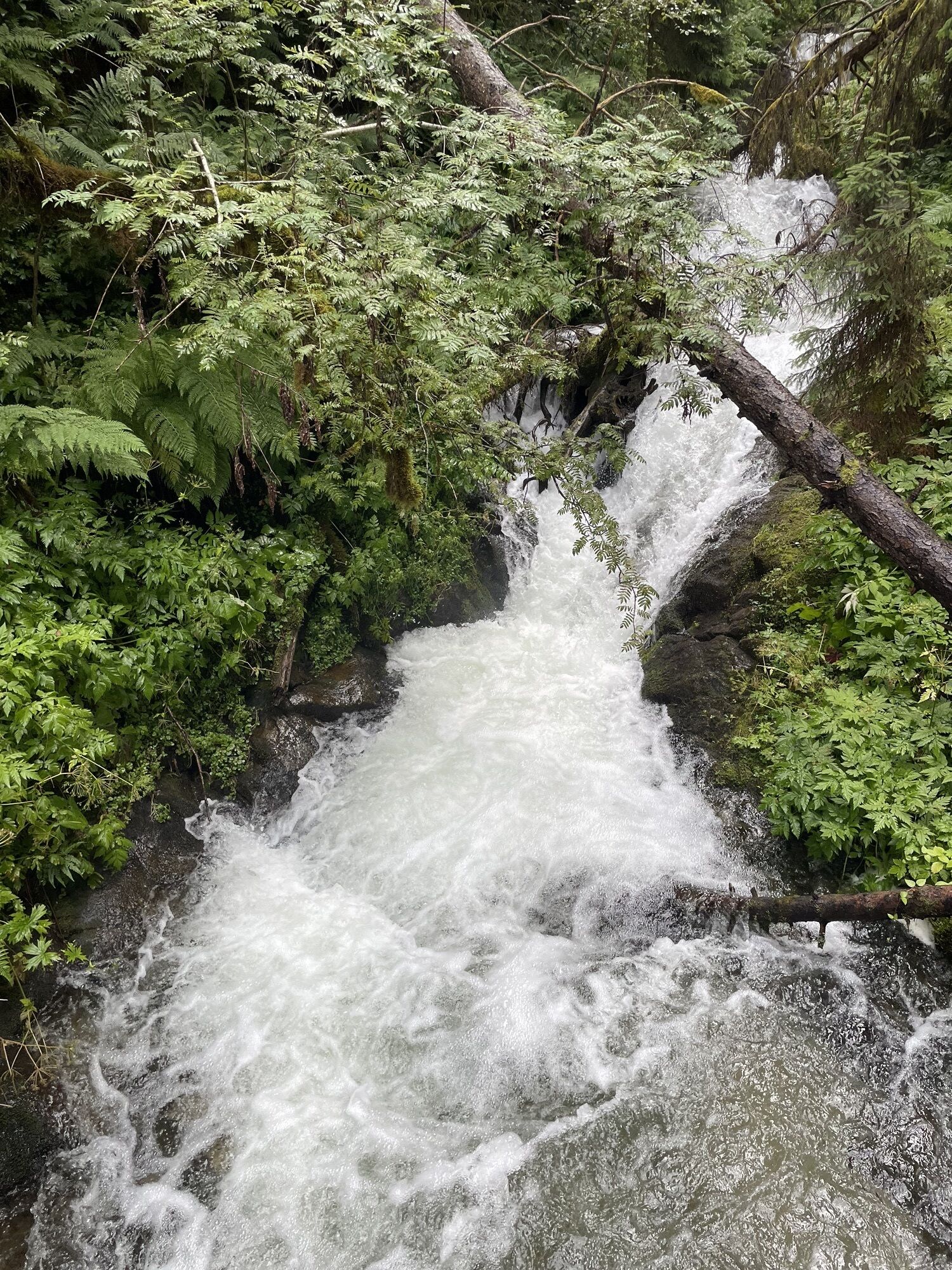
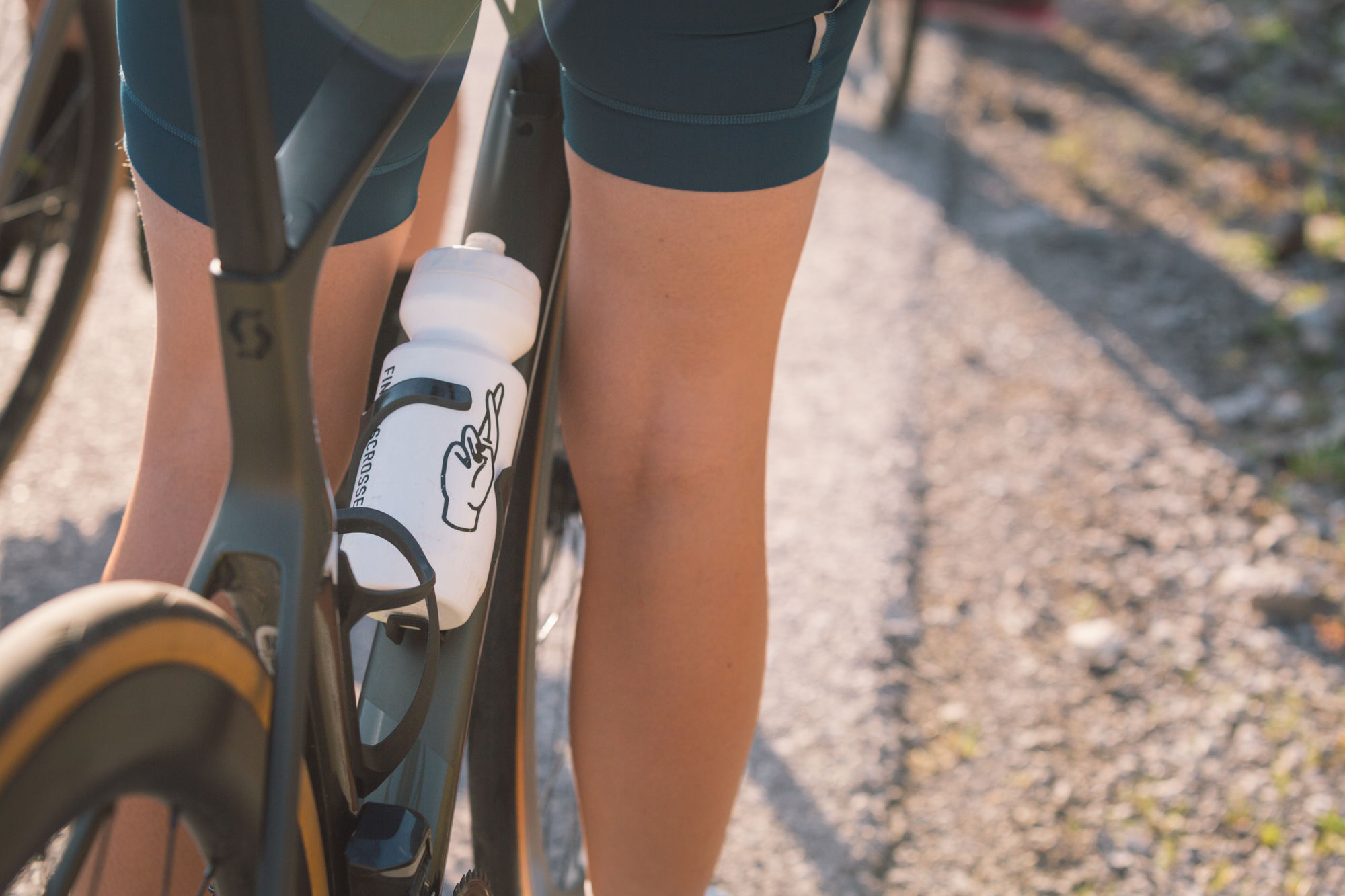
Photos from our users
-
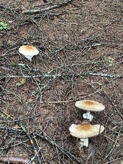
 © Johannes SchidaCreated on 05.08.2023
 -
 © Johannes SchidaCreated on 05.08.2023
 -
 © Johannes SchidaCreated on 05.08.2023
 -
 © Johannes SchidaCreated on 05.08.2023
 -
 © Johannes SchidaCreated on 05.08.2023
 -
 © Johannes SchidaCreated on 05.08.2023
 -
 © Johannes SchidaCreated on 05.08.2023
 -
 © Johannes SchidaCreated on 05.08.2023
 -
 © Johannes SchidaCreated on 05.08.2023
 -
 © Johannes SchidaCreated on 05.08.2023


Alternative: Anstelle des Radweges fährt man auf der Bundesstraße bis Roppen Die Streckenlänge kann von Mötz in Richtung Innsbruck verlängert werden Von der Ötztaler Höhe nicht über Sautens sondern auf...
Description of the
Alternative:
Anstelle des Radweges fährt man auf der Bundesstraße bis
Roppen
Die Streckenlänge kann von Mötz in Richtung Innsbruck verlängert
werden
Von der Ötztaler Höhe nicht über Sautens sondern auf der
Bundesstraße weiter nach Roppen
Streckenlänge kann beliebig angepasst werden - abschnittweise
auf verkehrsarmen Nebenstraßen
Route
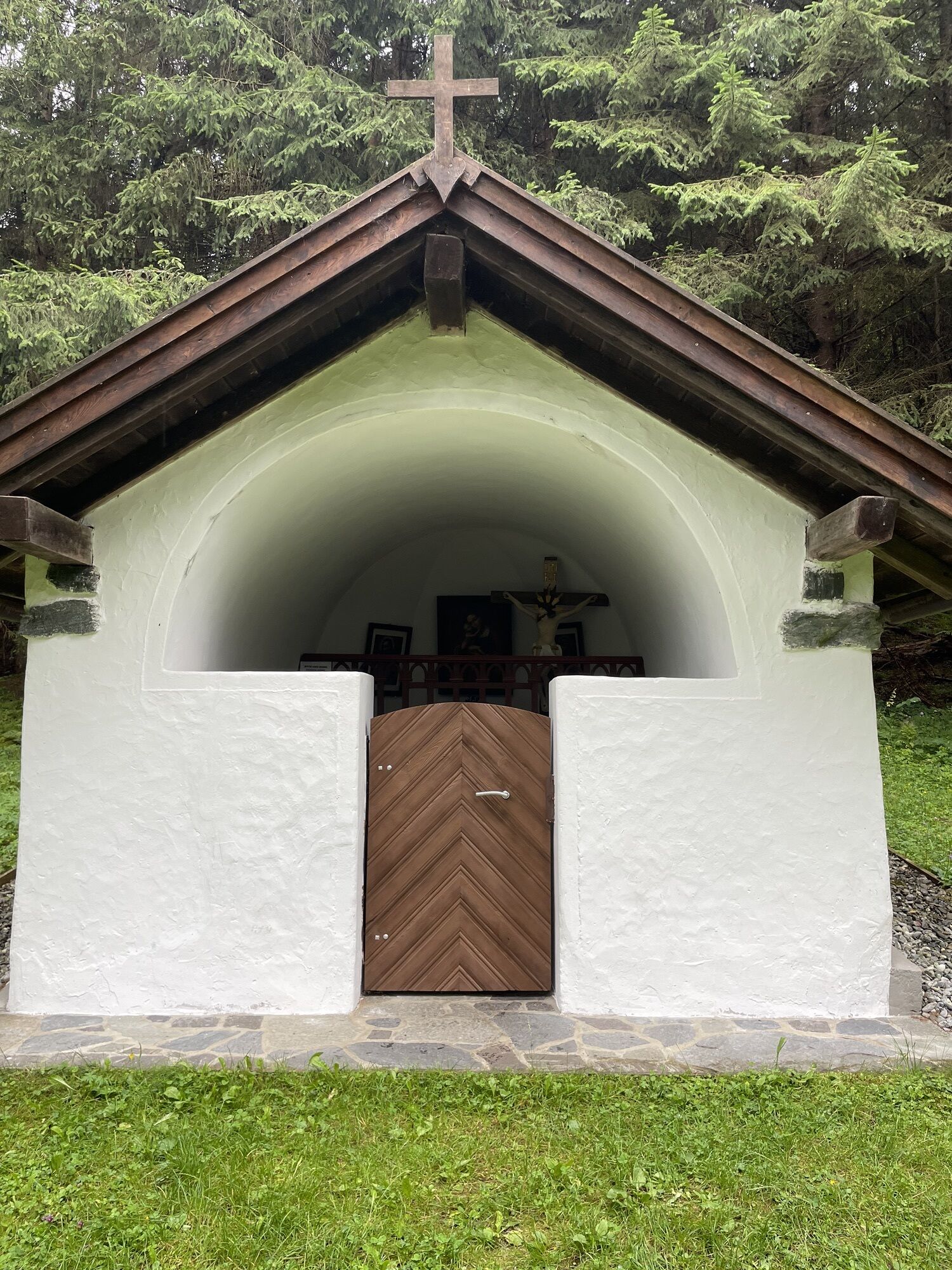
Trinelerkapelle
(819 m)
Place of worship
0,1 km
Josefskapelle
(739 m)
Place of worship
9,5 km
Kriegergedächtniskapelle
(666 m)
Place of worship
19,8 km
Ölbergkapelle
(664 m)
Place of worship
20,3 km
Pfarrkirche hll. Petrus und Paulus
(654 m)
Place of worship
20,9 km
Kreuzkapelle
(824 m)
Place of worship
42,3 km
Josefskapelle
(739 m)
Place of worship
45,8 km
Route
Inntalrunde
light
Cestovni bicikl
55,40
km
Trinelerkapelle
(819 m)
Place of worship
0,1 km
Imst
(827 m)
City
1,7 km
Kirche zu den hl. Engeln
(719 m)
Place of worship
3,2 km
Kapelle Unser Herr im Elend
(718 m)
Place of worship
3,5 km
Imst-Pitztal
(716 m)
Railway station
4,9 km
Karres
(830 m)
Village
5,8 km
Markuskapelle
(740 m)
Place of worship
8,1 km
Waldele
(734 m)
Settlement
8,3 km
Marienkapelle
(745 m)
Place of worship
8,8 km
Obbruck
(745 m)
Settlement
9,3 km
Josefskapelle
(739 m)
Place of worship
9,5 km
Roppen
(724 m)
Village
10,2 km
Mairhof
(718 m)
Neighbourhood
10,2 km
Lourdeskapelle
(720 m)
Place of worship
10,3 km
Löckpuit
(718 m)
Neighbourhood
10,5 km
River Haus
(693 m)
Restaurant
13,2 km
Ötztaler Höhe
(732 m)
Neighbourhood
14,0 km
Ötztal-Bahnhof
(698 m)
Village
14,4 km
Asiapalast Chinarestaurant
(682 m)
Restaurant
15,9 km
Oilers 69
(682 m)
Restaurant
16,0 km
Kriegergedächtniskapelle
(666 m)
Place of worship
19,8 km
Ölbergkapelle
(664 m)
Place of worship
20,3 km
Gasthof Bierwirt
(653 m)
Restaurant
20,7 km
Pfarrkirche hll. Petrus und Paulus
(654 m)
Place of worship
20,9 km
Pizzeria Pronto
(652 m)
Restaurant
20,9 km
Die Poscht
(652 m)
Restaurant
20,9 km
Silz
(654 m)
Village
21,3 km
Staudach
(644 m)
Neighbourhood
23,3 km
Stams
(672 m)
Village
25,2 km
Staudach
(644 m)
Neighbourhood
27,7 km
Silz
(654 m)
Village
29,7 km
Die Poscht
(652 m)
Restaurant
30,1 km
Pizzeria Pronto
(652 m)
Restaurant
30,1 km
Pfarrkirche hll. Petrus und Paulus
(654 m)
Place of worship
30,1 km
Gasthof Bierwirt
(653 m)
Restaurant
30,2 km
Ölbergkapelle
(664 m)
Place of worship
30,7 km
Kriegergedächtniskapelle
(666 m)
Place of worship
31,3 km
Oilers 69
(682 m)
Restaurant
34,9 km
Asiapalast Chinarestaurant
(682 m)
Restaurant
35,0 km
Ötztal-Bahnhof
(698 m)
Village
36,7 km
Ötztaler Höhe
(732 m)
Neighbourhood
37,2 km
Pizzeria Gül Engin
(733 m)
Restaurant
37,3 km
Brunau
(723 m)
Settlement
38,7 km
Ambach
(757 m)
Settlement
39,5 km
Gasthof Ambach Hof
(759 m)
Restaurant
39,5 km
Ebene
(759 m)
Settlement
39,9 km
Sautens
(812 m)
Village
40,5 km
Resort Alt-Ötztal
(809 m)
Restaurant
41,1 km
Kreuzkapelle
(824 m)
Place of worship
42,3 km
Pfarrkirche hl. Leonard
(724 m)
Place of worship
44,9 km
Lourdeskapelle
(720 m)
Place of worship
45,0 km
Mairhof
(718 m)
Neighbourhood
45,1 km
Roppen
(724 m)
Village
45,1 km
Obbruck
(745 m)
Settlement
45,8 km
Josefskapelle
(739 m)
Place of worship
45,8 km
Marienkapelle
(745 m)
Place of worship
46,5 km
Waldele
(734 m)
Settlement
47,0 km
Markuskapelle
(740 m)
Place of worship
47,1 km
Karres
(830 m)
Village
49,3 km
Kapelle Unser Herr im Elend
(718 m)
Place of worship
51,8 km
Imst
(827 m)
City
53,7 km
Trinelerkapelle
(819 m)
Place of worship
55,2 km

No reviews yet
Popular tours in the neighbourhood
-
4,6
Faltegartenköpfl peak
mediumPješačenje 4,04 km -
4,4
Oetz - Lake Piburger See - Oetz
mediumPješačenje 7,16 km -
4,6
Trip Tirol ➤ Wanderung zur blauen Grotte Rosengartenschlucht Imst
mediumPješačenje 4,86 km -
4,7
Umhausen - Stuibenfall - Umhausen
mediumPješačenje 7,94 km -
5,0
"Miners trail"
mediumPješačenje 10,8 km -
4,9
BIEBERWIER | Blindsee
lightPješačenje 4,84 km -
3,7
Auerklamm Oetz
mediumPješačenje 3,46 km -
4,0
Panoramatour Venet Alm
mediumPješačenje 10,1 km -
4,7
Drei-Kogel: Narren, Poschach und Peista in Niederthai
mediumPješačenje 15,8 km -
4,3
lake Piburger See with platform "Kanzel"
mediumPješačenje 6,21 km
bergfex Tours

Over 550.000 tour suggestions, detailed maps and an intuitive route planner make the app a must-have for all nature enthusiasts.

Ne propustite ponude i inspiraciju za vaš sljedeći odmor
Subscribe to the newsletter
Error
An error has occurred. Please try again.
Thank you for your registration
Your e-mail address has been added to the mailing list.
Tours throughout Europe
Austrija
Švicarska
Njemačka
Italija
Slovenija
Francuska
Nizozemska
Belgija
Poljska
Lihtenštajn
Češka
Slovačka
Španija
Hrvatska
Bosna i Hercegovina
Luksemburg
Andora
Portugal
Island
Ujedinjeno Kraljevstvo
Irska
Grčka
Albanija
Sjeverna Makedonija
Malta
Norveška
Crna Gora
Moldova
Kosovo
Mađarska
San Marino
Rumunjska
Estonija
Latvija
Bjelorusija
Cipar
Litva
Srbija
Bugarska
Monako
Danska
Švedska
Finska