


Photos from our users
-

 © Christian BurgerCreated on 12.07.2023
 -

 © Daniel HerzCreated on 20.08.2024
 -
 © Daniel HerzCreated on 20.08.2024
 -
 © Daniel HerzCreated on 20.08.2024
 -
 © Daniel HerzCreated on 20.08.2024
 -
 © Daniel HerzCreated on 20.08.2024
 -
 © Daniel HerzCreated on 20.08.2024
 -
 © Christian BurgerCreated on 12.07.2023
 -
 © Christian BurgerCreated on 12.07.2023
 -
 © Christian BurgerCreated on 12.07.2023


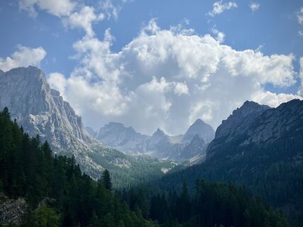
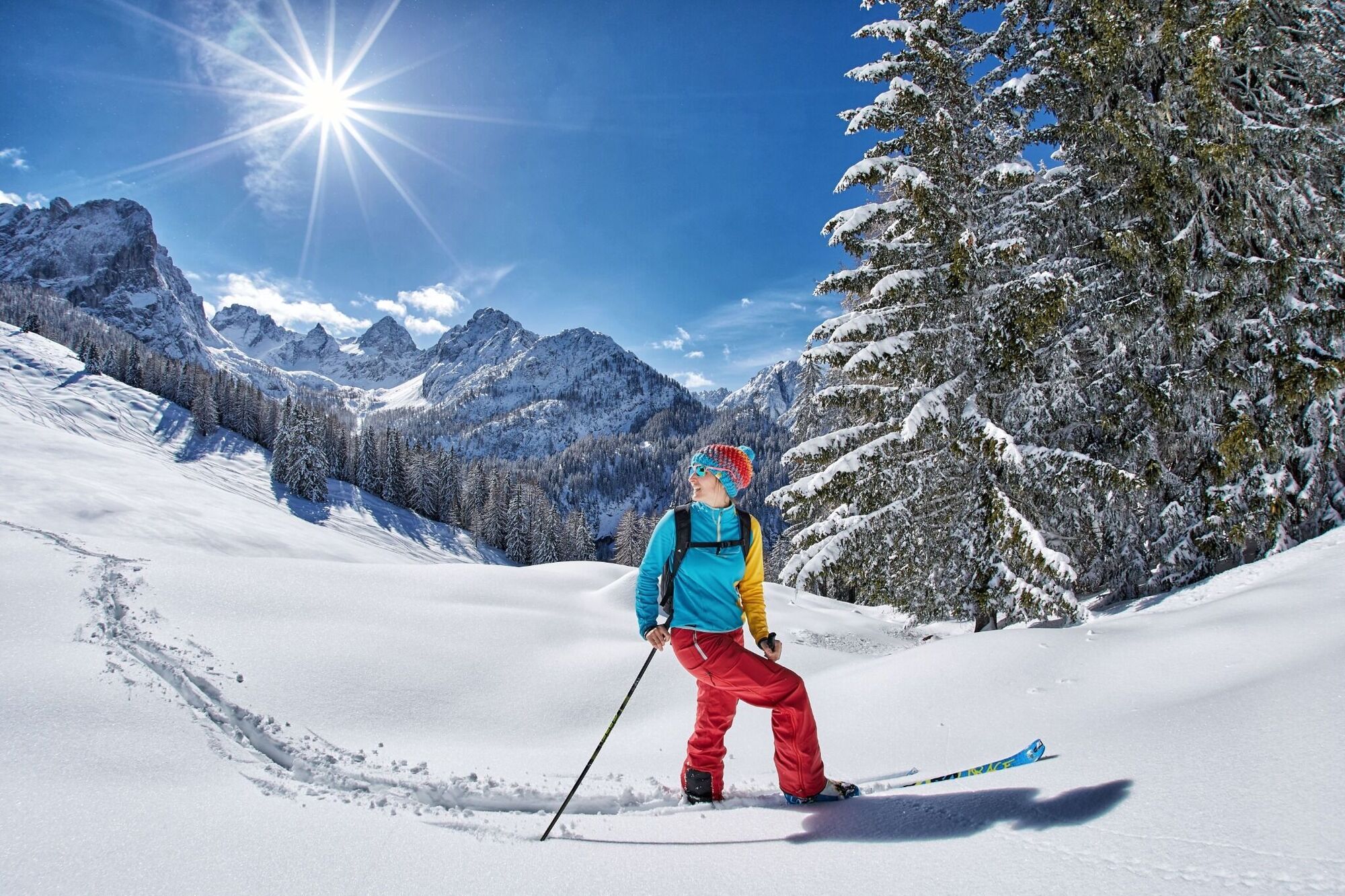
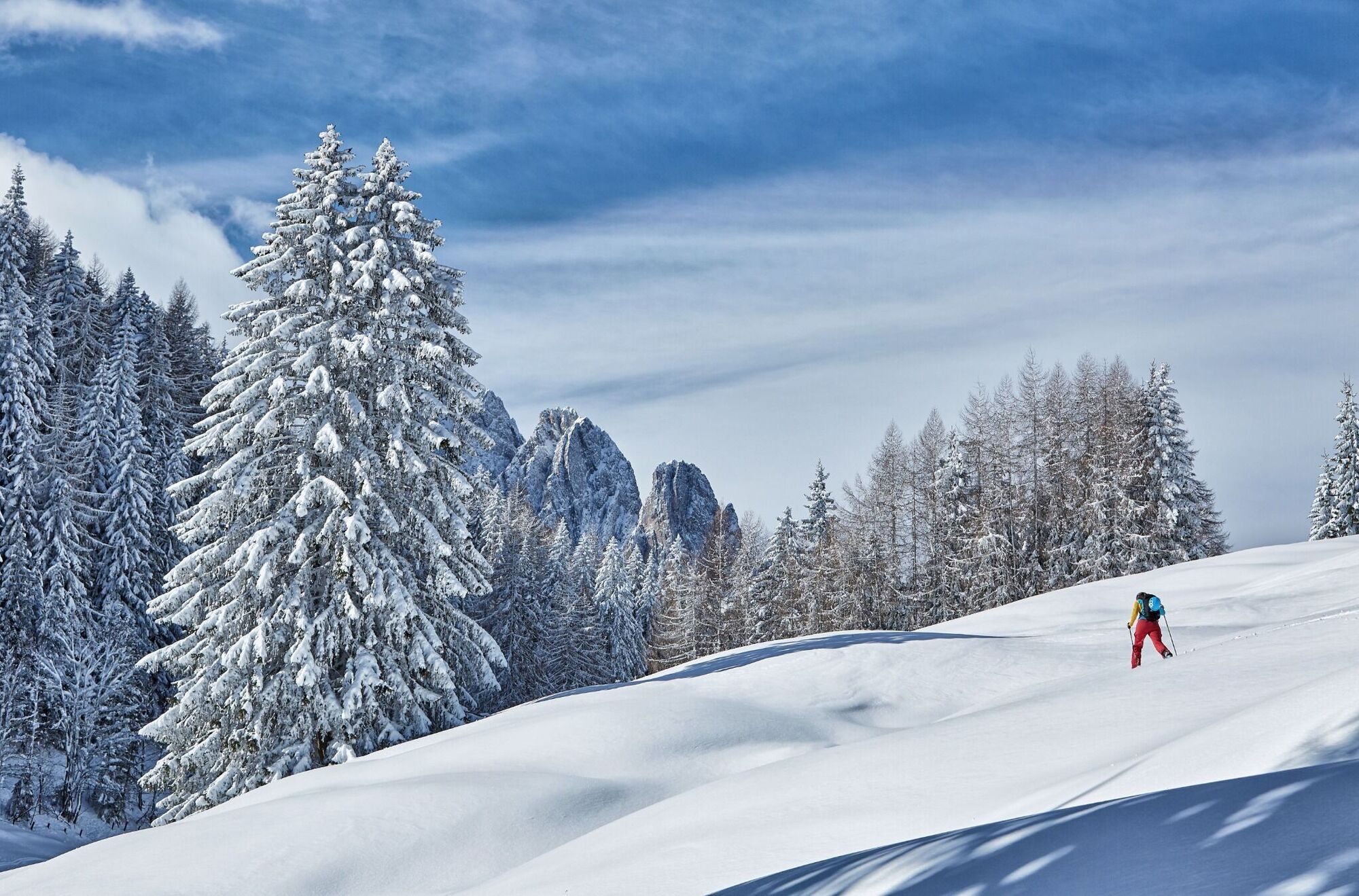
In the past few years ‘walking with climbing skins’ away from the pistes has become ever more significant. More and more ‘ski tourists’ who are in search for relaxation are heading into the mountains....
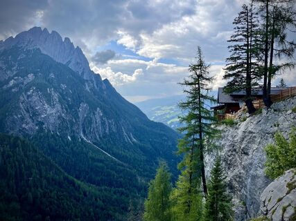
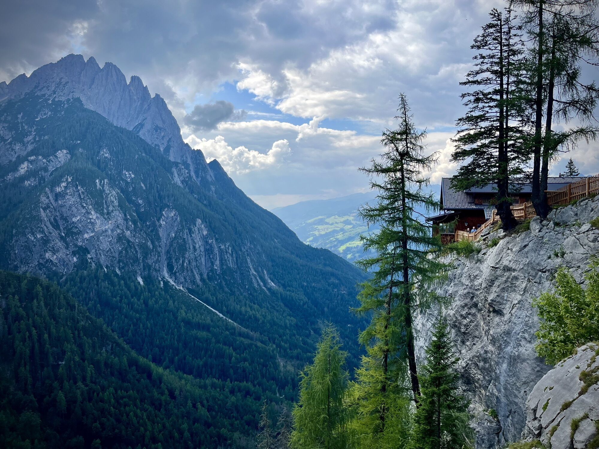
In the past few years ‘walking with climbing skins’ away from the pistes has become ever more significant. More and more ‘ski tourists’ who are in search for relaxation are heading into the mountains. The ski tour to the ‘Auerling’ is ideal for getting to know this subject matter. Tour skis can be taken out for their first outing in open terrain beneath the northern precipices of the Laserzwand. After a speedy descent there are more prepared forest aisle for snow tourers back to Kreithof. A certain amount of fitness is required for this, since from the car park to the forested domed peak there is indeed some 1000 metres to tackle. By way of an encore half way through the route, the traditional Dolomitenhütte tempts you to enjoy a refreshment stop and provides indulgence with some delicious local foods.
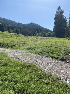
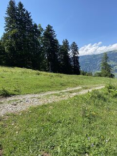
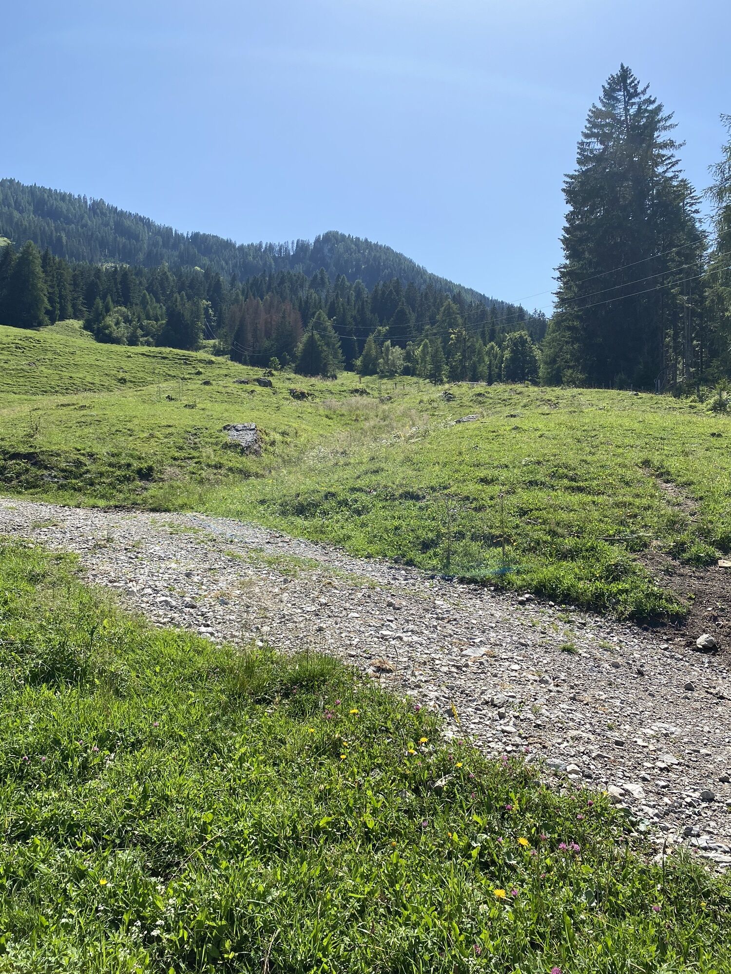
The starting point for our ski tour is the Kreithof at 1050 m, to the south-east of Tristach, at the entrance to the Lienz Dolomites. Head up in your car to the Kreithof (1050 m, fee for parking), then, due to the natural toboggan run, there is a general driving ban. There is however a taxi service to Dolomitenhütte! The actual bulk of the metres altitude is tackled via the aforementioned piste, which takes us just outside the Dolomitenhütte (1 ½ hours). From here, follow the road briefly, into the wide cirque to the south of the lodge (please note – area of falling rocks at 100 metres), until after around 10 minutes you get to a fountain and head for Weißsteinalm (signposted). In several serpentines we make our way along the ski track proceeding up via a glade, before we head into Alpine terrain offering plenty of views is sun-drenched and has lovely Alpine inns. Always keeping to the wide forest ridge,
we slowly gain altitude heading in a south-easterly direction, before we dip into the forest again and after a few hairpin bends and other bends, for the most part along the summer trail, we come to the little, woodless peak of the Auerling (1 ½ hours from Dolomitenhütte, 3 hours from the Kreithof).
Additional ski tour tips can be obtained in the ski tour guides by Thomas Mariacher. These are available here: http://www.grafikzloebl.at/verlag/buecher/

Coming from Lienz in the direction of Tristach, after Tristach turn right and drive up to Lake Tristach, then turn left up to the Kreithof car park.
Parking at the Kreithof
Popular tours in the neighbourhood
-
4,8
Lienzer Dolomiten-Lasertörl
mediumPješačenje 13,2 km -
3,8
Karlsbader Hütte - Lienzer Dolomiten
Pješačenje 8 km -
5,0
Ederplan Runde vom Parkplatz Stronach
mediumPješačenje 7,19 km -
4,7
Karlsbader Hütte über Rudl-Eller-Weg
heavyPješačenje 5,10 km -
4,1
Straßkopf
mediumPješačenje 4,06 km -
4,9
Pirknerklamm (C)
mediumVia ferrata 2 km -
4,2
Pirknerklamm
mediumVia ferrata 1,99 km -
4,9
Wangennitzsee Hütte
mediumPješačenje 3,80 km -
4,8
Anna Schutzhaus am Ederplan
mediumPješačenje 2,76 km -
5,0
Karlsbader Hütte
mediumMountainbike 13,4 km
bergfex Tours


Ne propustite ponude i inspiraciju za vaš sljedeći odmor
Your e-mail address has been added to the mailing list.