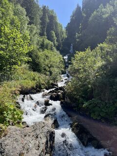
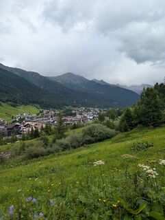
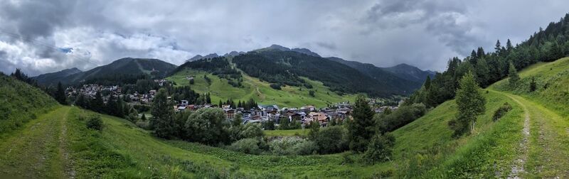
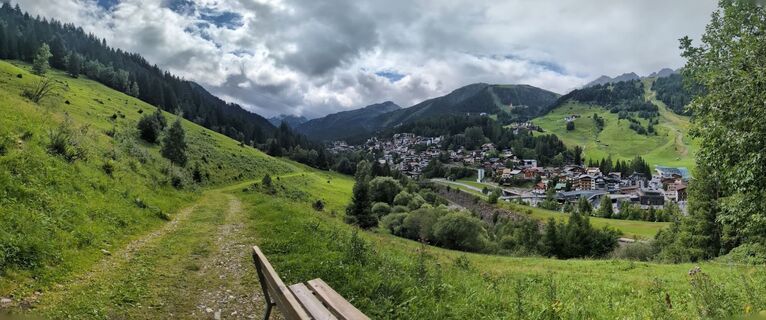
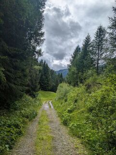
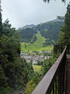
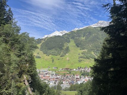
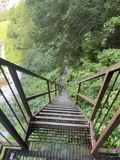
St. Anton zum Wasserfall
light
Navigate
Navigate
Get this tour on your mobile
St. Anton zum Wasserfall
light
Pješačenje
3,31
km
Scan the QR code and start navigation in the bergfex app

Hiking & Tracking


Distance
3,31
km
Duration
01:08
h
Ascent
128
m
Sea level
1.278 -
1.415
m
Track download
St. Anton zum Wasserfall
light
Pješačenje
3,31
km


Photos from our users
-

 © Lars KellnerCreated on 08.08.2023
 -
 © Steffen KraCreated on 11.08.2025
 -
 © ElizabethMMorrisCreated on 29.07.2025
 -
 © ElizabethMMorrisCreated on 29.07.2025
 -
 © ElizabethMMorrisCreated on 29.07.2025
 -
 © ElizabethMMorrisCreated on 29.07.2025
 -
 © ElizabethMMorrisCreated on 29.07.2025
 -
 © ElizabethMMorrisCreated on 29.07.2025
 -
 © ElizabethMMorrisCreated on 29.07.2025
 -
 © Lars KellnerCreated on 08.08.2023
 -
 © Lars KellnerCreated on 08.08.2023


Route
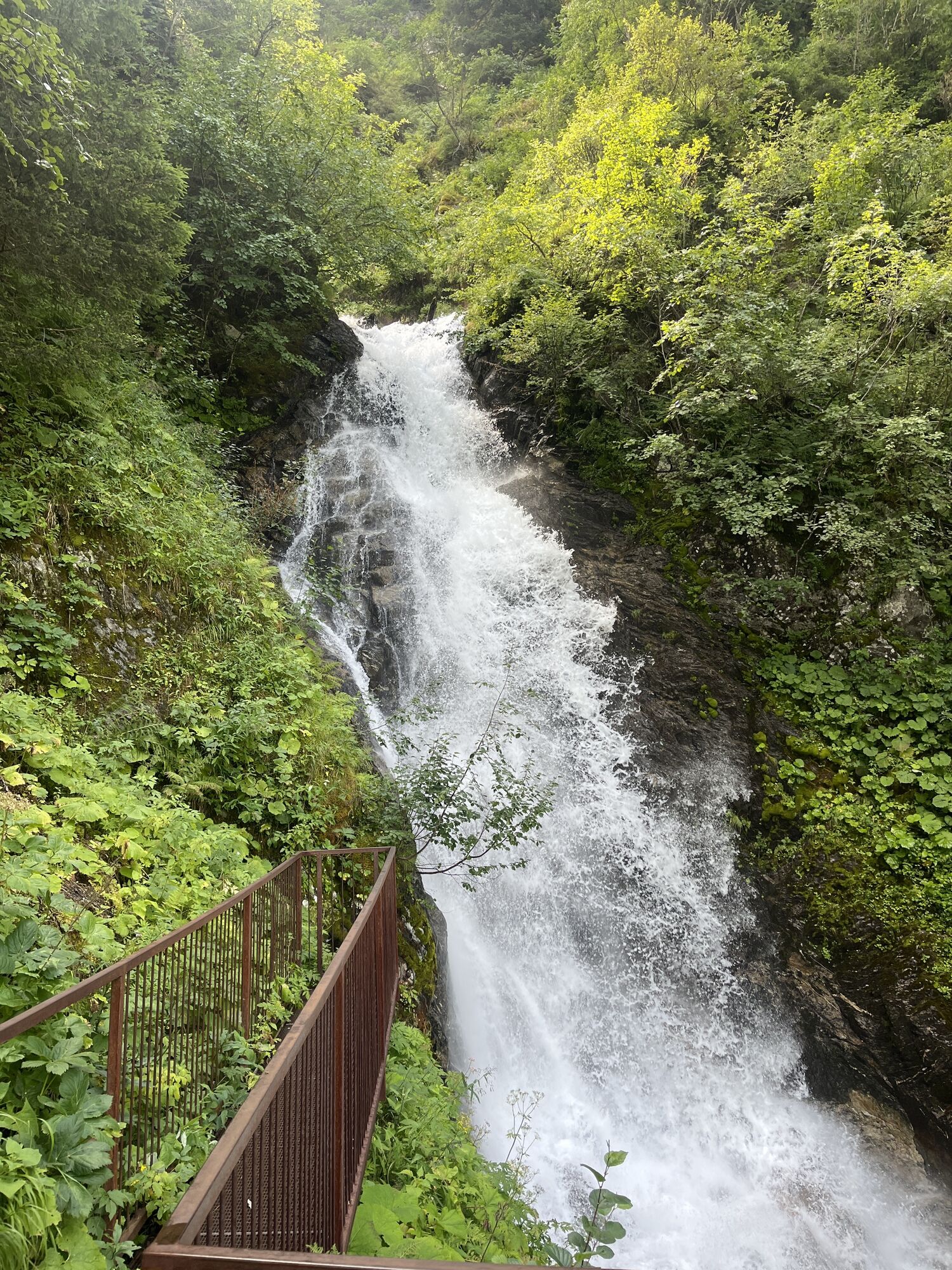
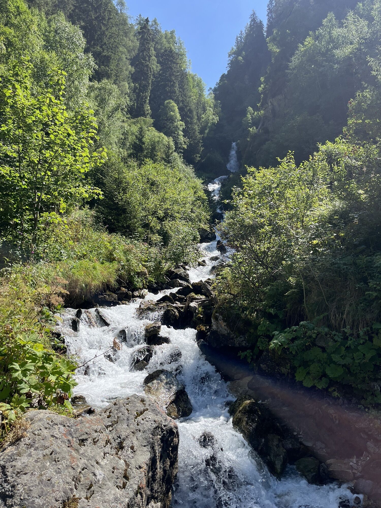
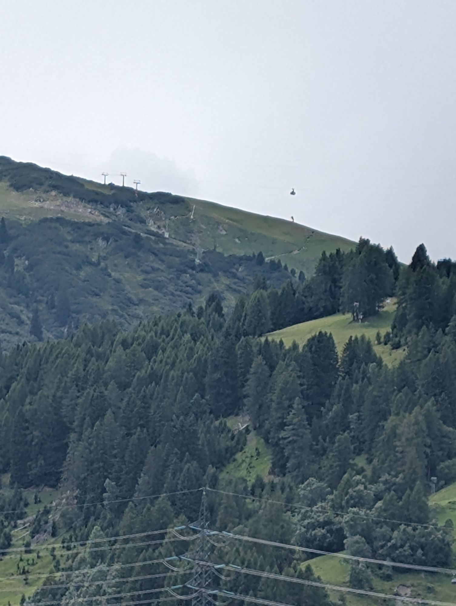
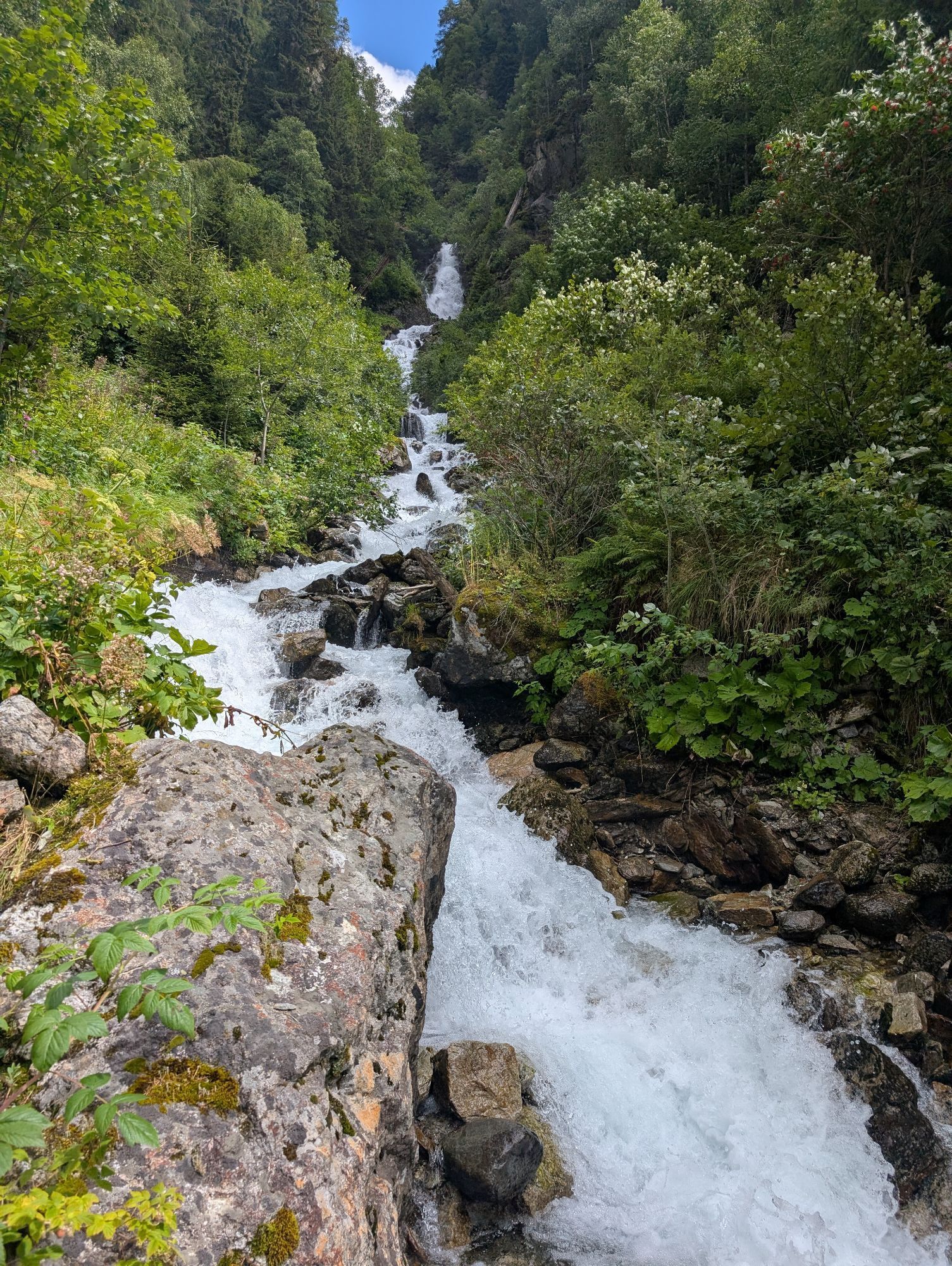
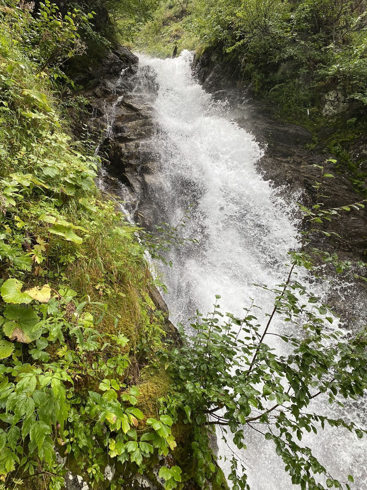
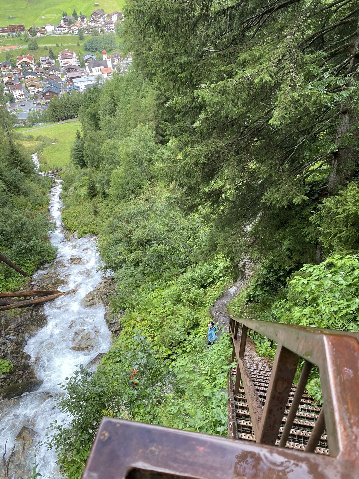
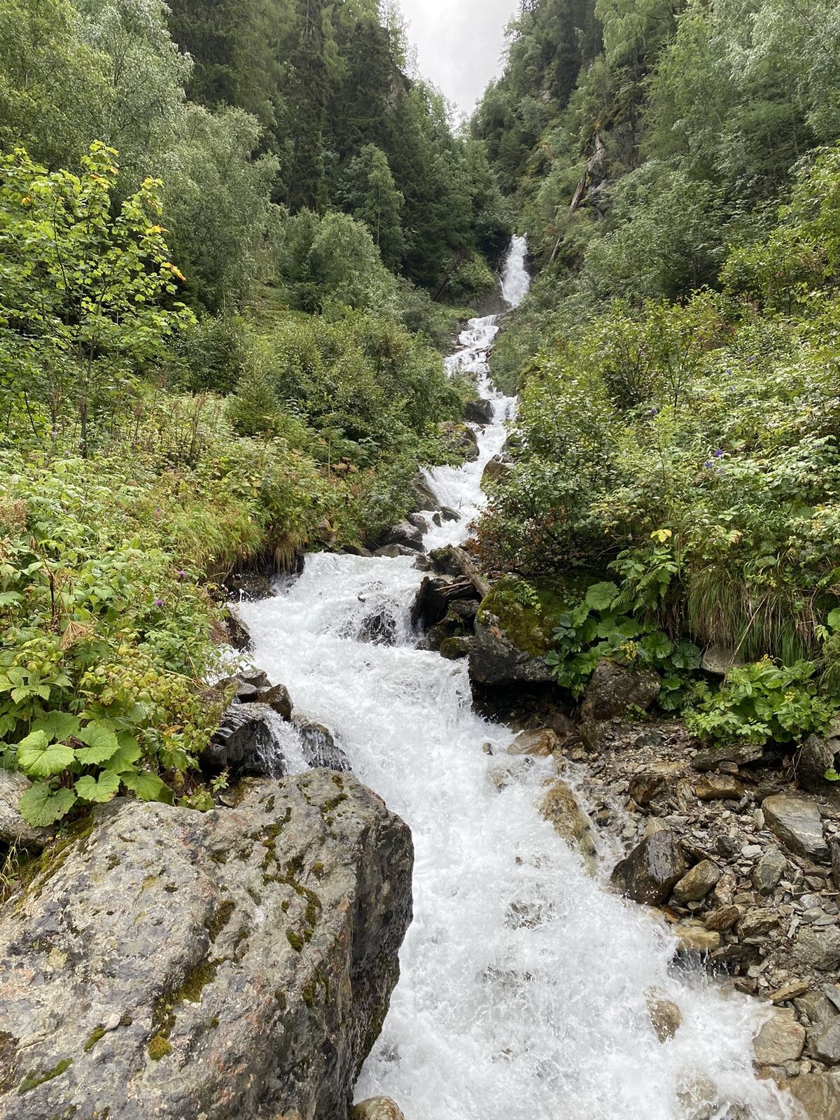
Stockibach - Wasserfall
(1.410 m)
Waterfall
0,8 km
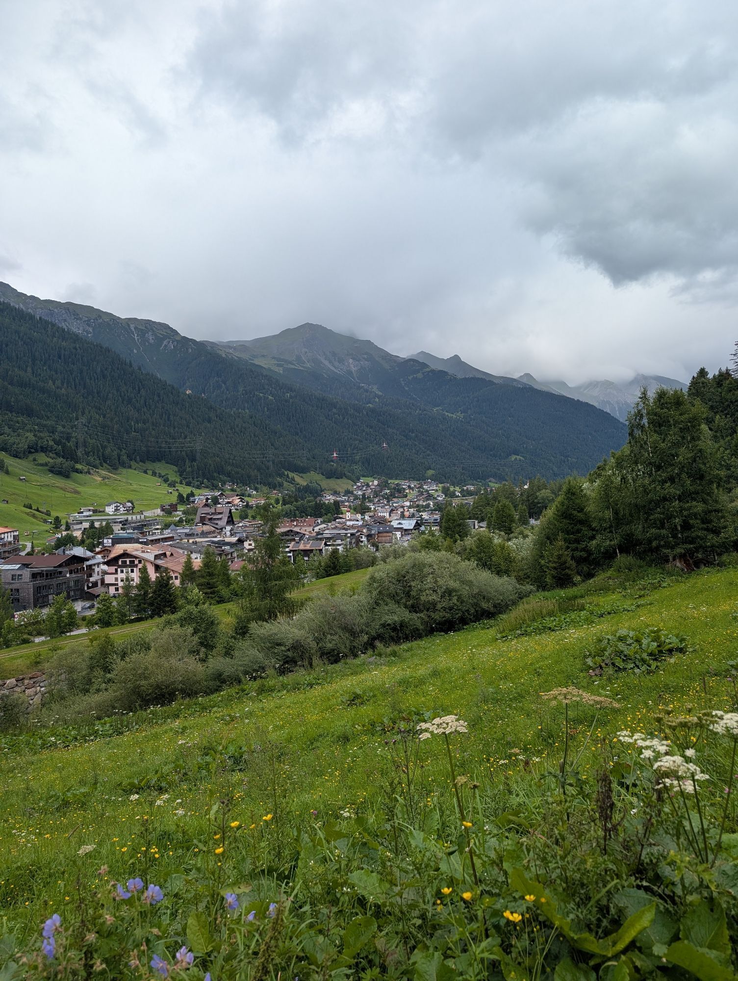
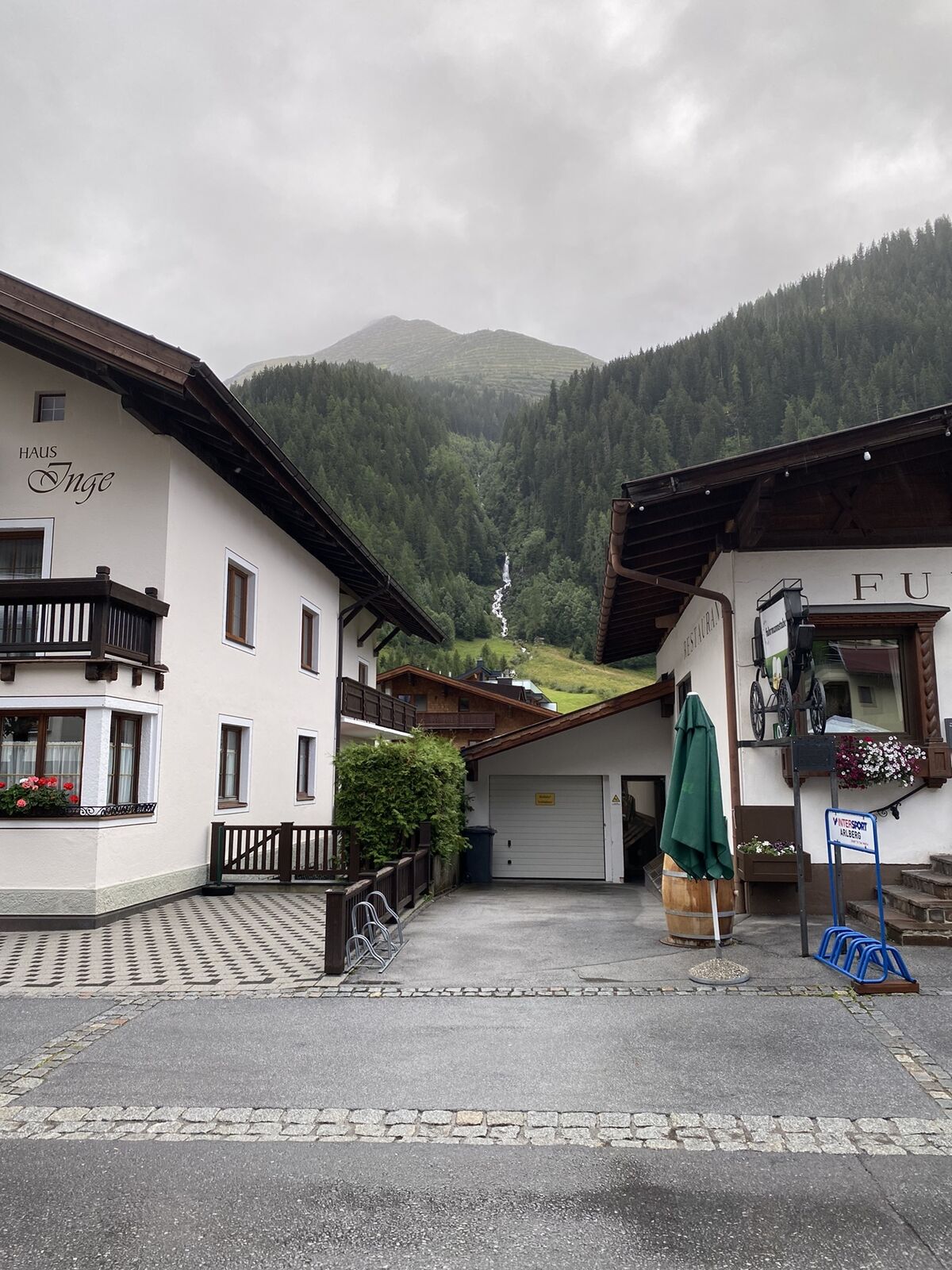
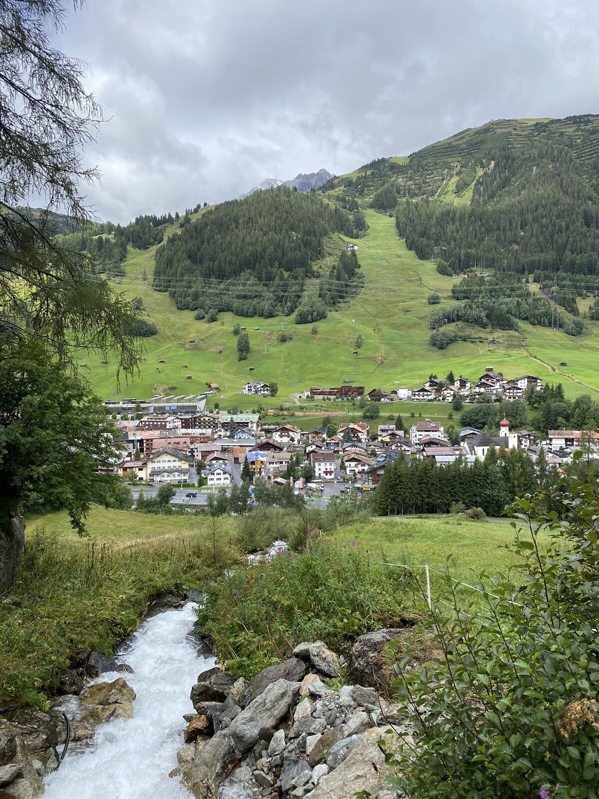
St. Anton am Arlberg
(1.284 m)
Village
2,6 km
Pfarrkirche St. Anton und Mariahilf
(1.284 m)
Place of worship
2,9 km
Route
St. Anton zum Wasserfall
light
Pješačenje
3,31
km
Stockibach - Wasserfall
(1.410 m)
Waterfall
0,8 km
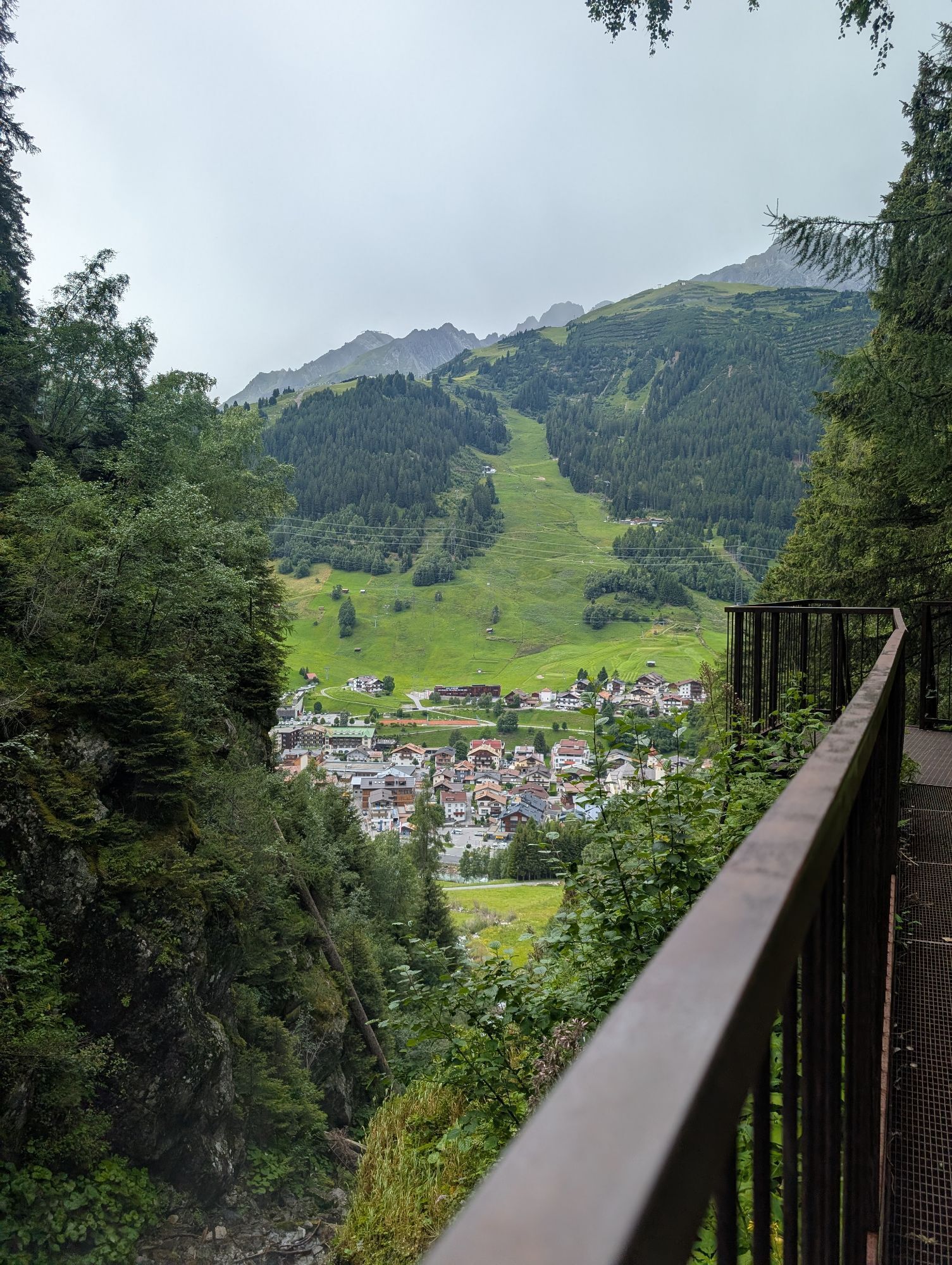
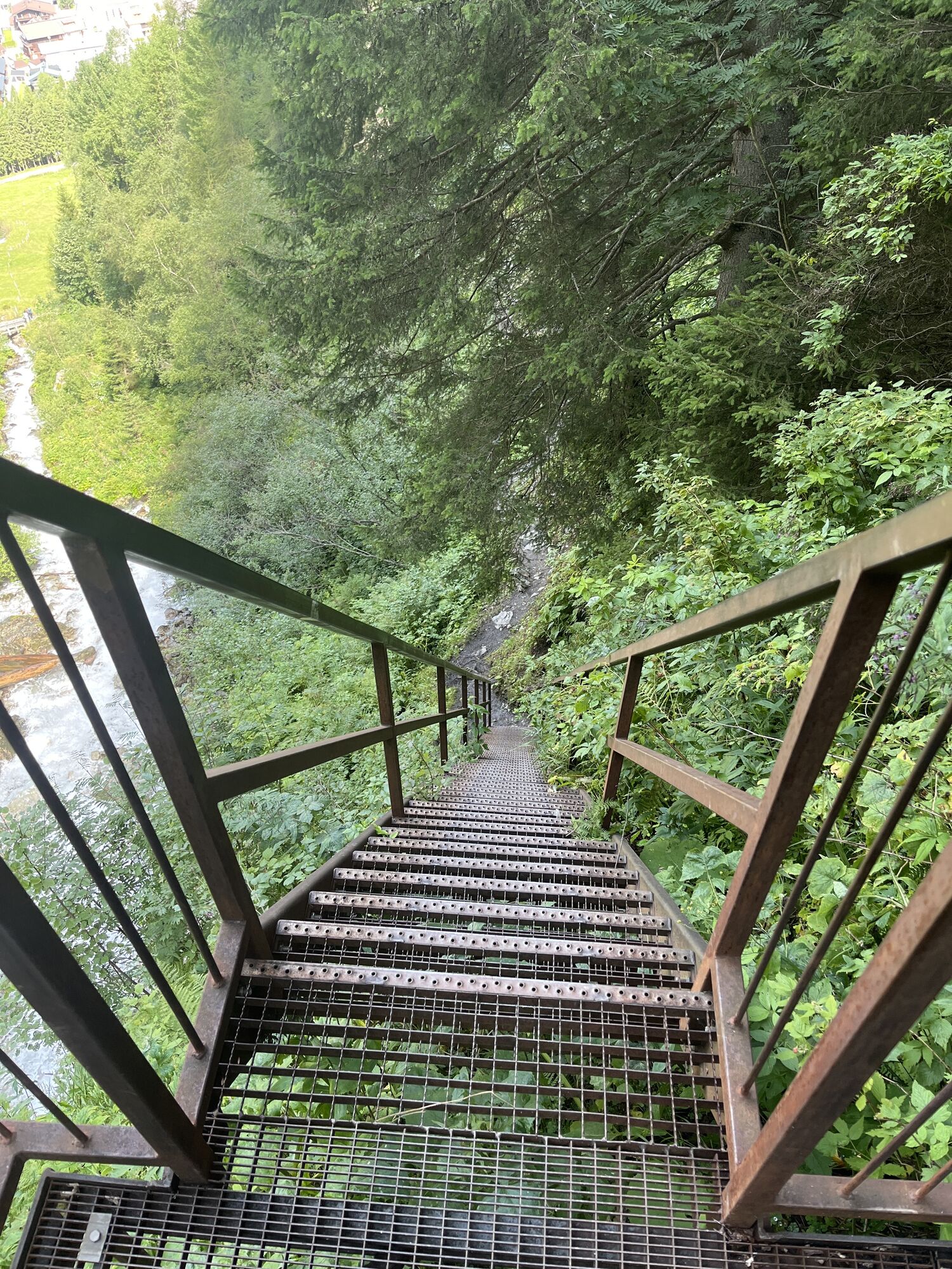
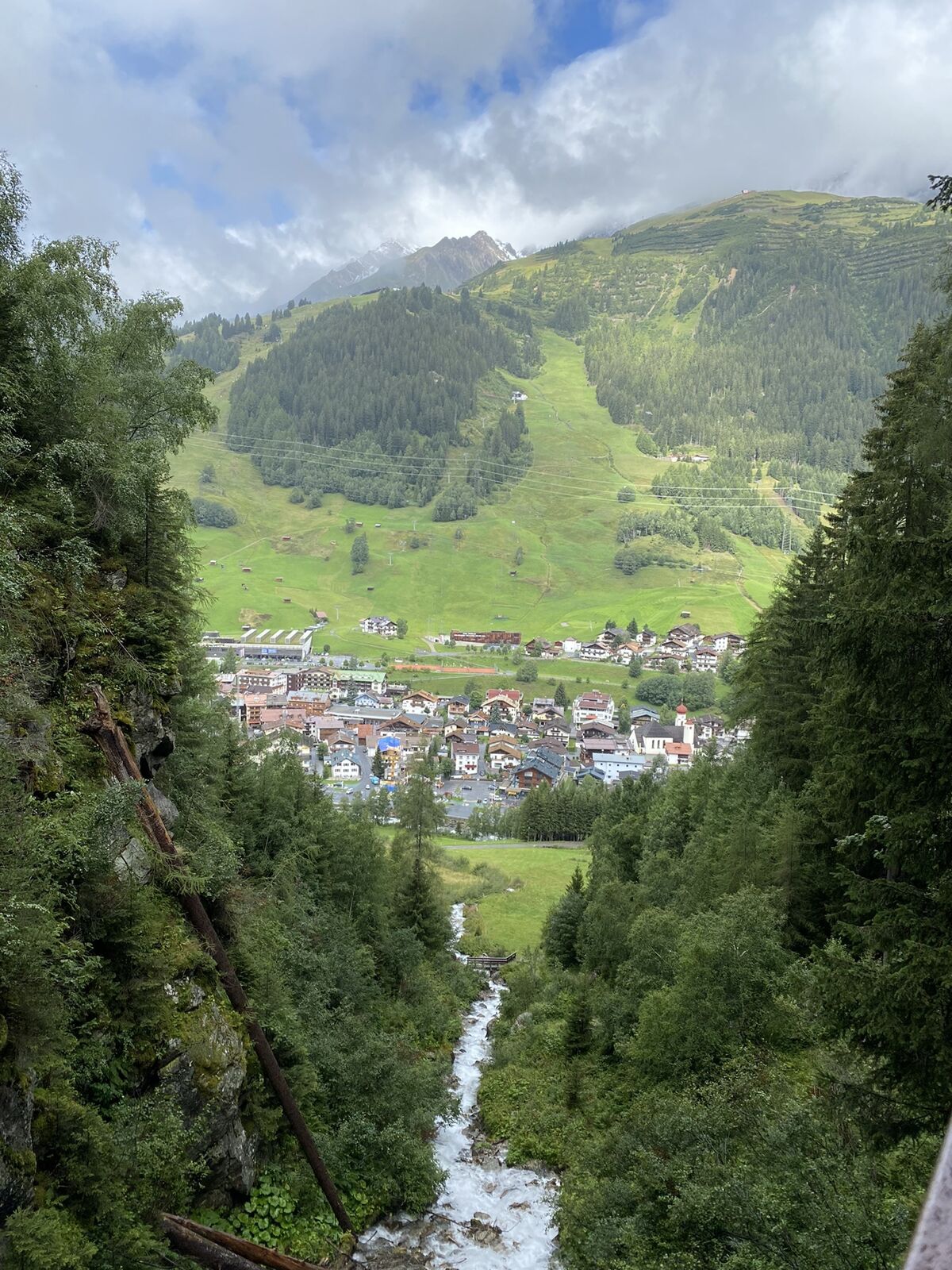
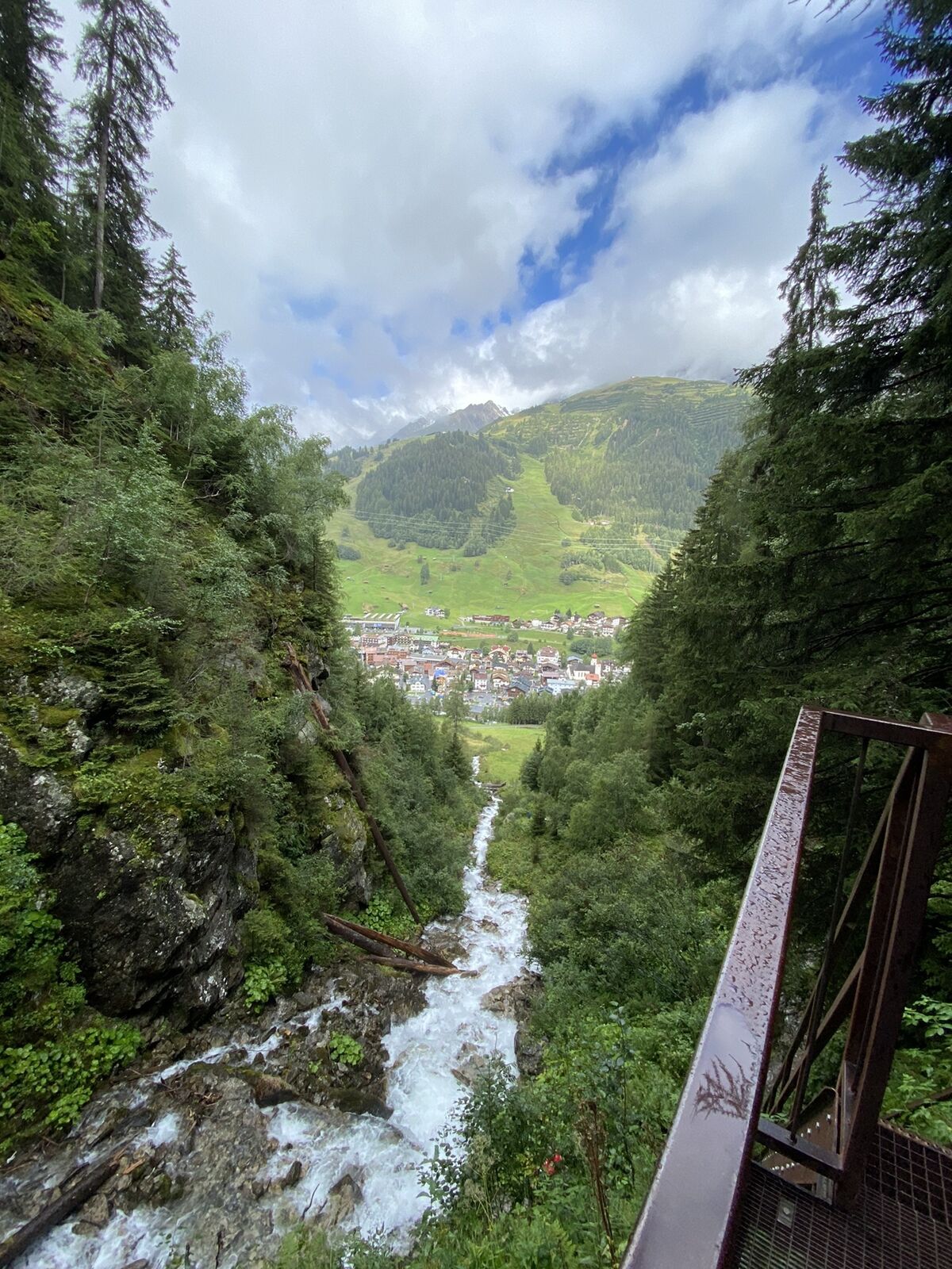
Aussichtsplattform mit Blick auf den
(1.419 m)
Viewpoint
0,8 km
Rendlbahn
(1.301 m)
Gondola station
2,1 km
St. Anton am Arlberg
(1.284 m)
Village
2,6 km
Pfarrkirche St. Anton und Mariahilf
(1.284 m)
Place of worship
2,9 km

Valuations
5
(1)
4
(0)
3
(0)
2
(0)
1
(0)
Popular tours in the neighbourhood
-
4,0
Stuben - Stubner See - Kaltenberghütte - Stuben
mediumPješačenje 9,90 km -
4,4
St Anton zur Darmstädter Hütte
heavyMountainbike 28,4 km -
4,8
Kaltenberghütte von St. Christoph aus
mediumPješačenje 15,9 km -
5,0
St.Anton Verwalltal Heilbronner Hütte
heavyMountainbike 42,0 km -
5,0
Darmstädter Hütte mit Rückweg über Rendl Alpe
mediumMountainbike 36,3 km -
4,8
Im Angesicht des Patteriol - Sankt Anton/Arlberg durch das Verwall nach Silbertal.
heavyPješačenje 35,1 km -
4 Gipfel Tour in den Lechtaler Alpen
mediumPješačenje 18,9 km -
5,0
Kappl, Diasbahn Bergstation, Niederelbehütte, Diasbahn, Österreich
mediumPješačenje 10,1 km -
4,0
Lechweg von Warth nach Lech
mediumPješačenje 13,2 km -
5,0
Von St Anton zum Verwallsee
lightPješačenje 6,36 km
bergfex Tours

Over 550.000 tour suggestions, detailed maps and an intuitive route planner make the app a must-have for all nature enthusiasts.

Ne propustite ponude i inspiraciju za vaš sljedeći odmor
Subscribe to the newsletter
Error
An error has occurred. Please try again.
Thank you for your registration
Your e-mail address has been added to the mailing list.
Tours throughout Europe
Austrija
Švicarska
Njemačka
Italija
Slovenija
Francuska
Nizozemska
Belgija
Poljska
Lihtenštajn
Češka
Slovačka
Španija
Hrvatska
Bosna i Hercegovina
Luksemburg
Andora
Portugal
Island
Ujedinjeno Kraljevstvo
Irska
Grčka
Albanija
Sjeverna Makedonija
Malta
Norveška
Crna Gora
Moldova
Kosovo
Mađarska
San Marino
Rumunjska
Estonija
Latvija
Bjelorusija
Cipar
Litva
Srbija
Bugarska
Monako
Danska
Švedska
Finska