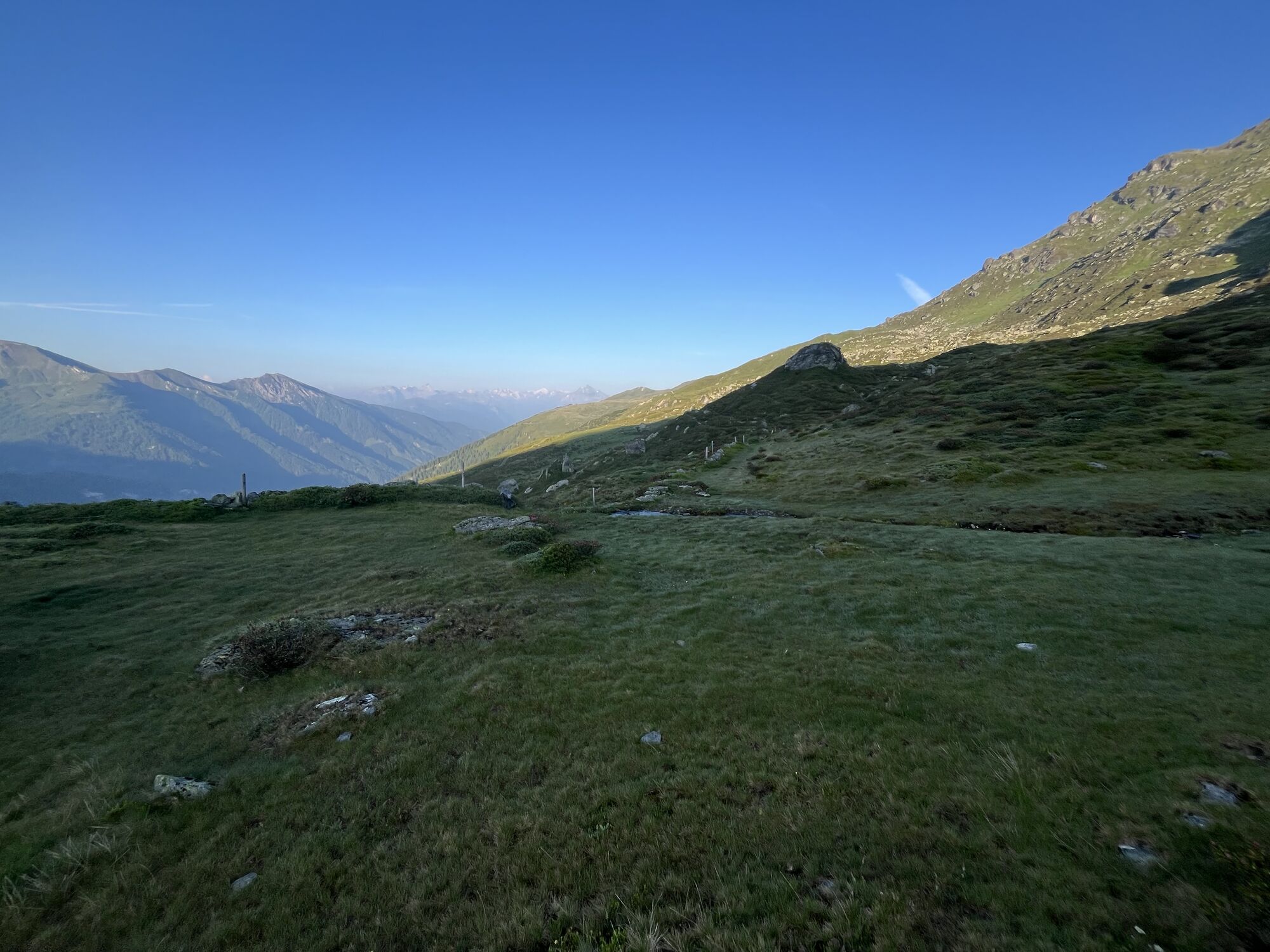
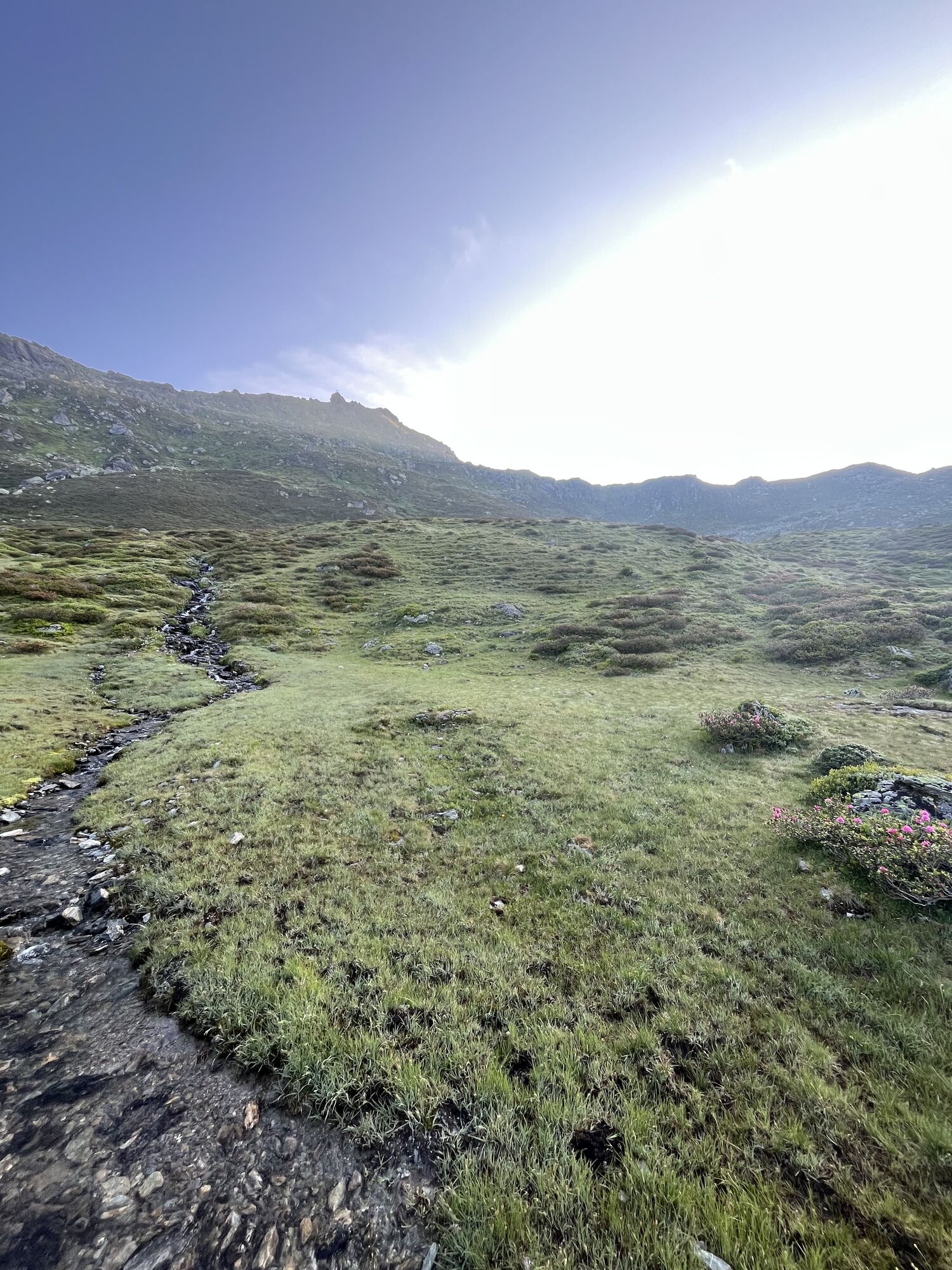
Navis, Nördliche Schoberspitze
Pješačenje
Navigate
Navigate
Get this tour on your mobile
Navis, Nördliche Schoberspitze
Pješačenje
18,52
km
Scan the QR code and start navigation in the bergfex app

Hiking & Tracking


Distance
18,52
km
Duration
03:43
h
Ascent
942
m
Sea level
1.509 -
2.440
m
Track download
Navis, Nördliche Schoberspitze
Pješačenje
18,52
km


No reviews yet
Popular tours in the neighbourhood
-
4,7
Patscherkofl
mediumPješačenje 18,5 km -
4,2
Von der Tulfeinalm auf den Schartenkogel
mediumPješačenje 4,20 km -
4,9
Friesenbergalm & Olpererhütte
heavyPješačenje 13,4 km -
4,2
Patscherkofel
lightSkijaška tura 6,42 km -
4,8
Patscherkofel Gipfelrunde mit Zirbenweg
lightPješačenje 6,52 km -
The scenic Zirbenweg - hiking enjoyment at 2000 meters above sea level
lightPješačenje 7,27 km -
5,0
To the Blue Lakes
mediumPješačenje 16,3 km -
5,0
Schlegeisspeichersee
mediumPješačenje 15,6 km -
5,0
4 peak tour at the Glungezer panoramic trail
heavyPješačenje 14,4 km -
4,0
A hike around the Glungezer Summit
mediumPješačenje 11,4 km
bergfex Tours

Over 550.000 tour suggestions, detailed maps and an intuitive route planner make the app a must-have for all nature enthusiasts.

Ne propustite ponude i inspiraciju za vaš sljedeći odmor
Subscribe to the newsletter
Error
An error has occurred. Please try again.
Thank you for your registration
Your e-mail address has been added to the mailing list.
Tours throughout Europe
Austrija
Švicarska
Njemačka
Italija
Slovenija
Francuska
Nizozemska
Belgija
Poljska
Lihtenštajn
Češka
Slovačka
Španija
Hrvatska
Bosna i Hercegovina
Luksemburg
Andora
Portugal
Island
Ujedinjeno Kraljevstvo
Irska
Grčka
Albanija
Sjeverna Makedonija
Malta
Norveška
Crna Gora
Moldova
Kosovo
Mađarska
San Marino
Rumunjska
Estonija
Latvija
Bjelorusija
Cipar
Litva
Srbija
Bugarska
Monako
Danska
Švedska
Finska