


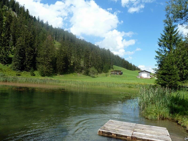
Von Bach (bei der Kirche) führt ein Fahrweg über Seesumpf nach Klapf. Nun führt links abzweigend ein Fußweg nach Klapf (Einkehrmöglichkeit). Wer möchte, kann einen Abstecher zur Seesumpfer Kapelle machen...
Von Bach (bei der Kirche) führt ein Fahrweg über Seesumpf nach Klapf. Nun führt links abzweigend ein Fußweg nach Klapf (Einkehrmöglichkeit). Wer möchte, kann einen Abstecher zur Seesumpfer Kapelle machen (vor Klapf nach links).
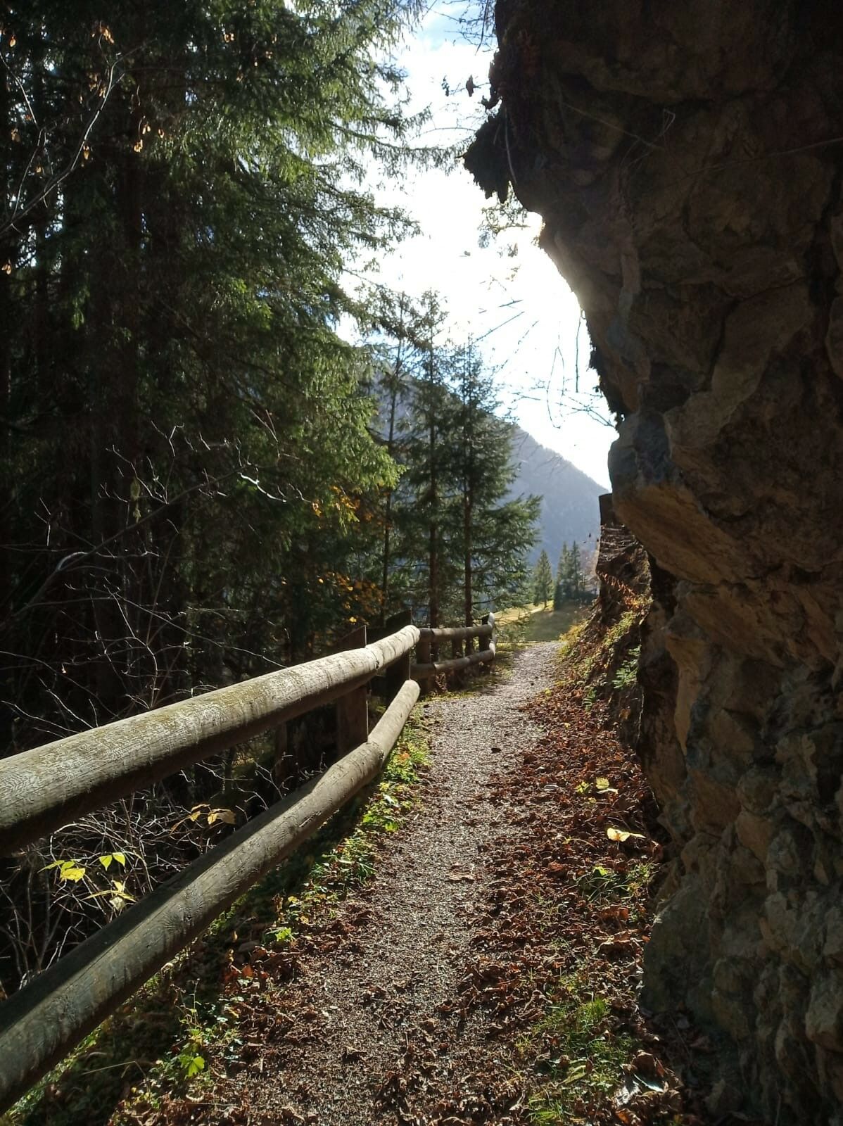
Von Klapf folgen wir dem Fahrweg bis Seesumpf, dort Abzweigung nach rechts (Schild „Talstation“), durch Wiesen in Richtung Benglerwald über das Modertal. In Benglerwald (Einkehrmöglichkeit). Nunführt der Fahrweg nach Kraichen (Ortsteil von Bach). Bald nach der Brücke zweigt der alte Weg links ab. Er folgt der Stromleitung nach Bach. Die Rückwanderung kann auf diesem Weg erfolgen, schöner jedoch ist die Abzweigung nach links (Fußweg).
Für Kinder gut geeignet.
Gesamtgehzeit ca. 3,5 Stunden.
Berggasthof Klapf, Lechtaler Hexenkessel
MAYR Nr. 5 Tiroler Lechtal - erhältlich in allen TVB Büros im Lechtal
Yes
Yes
Von Reutte kommend Richtung Lechtal bis nach Bach (ca. 45 km)
Regiobus von Mitte Mai bis Anfang Oktober
Parkplatz bei der Lechbrücke
Popular tours in the neighbourhood
-
4,9
E5 - 1. Etappe: Oberstdorf - Kemptner Hütte
lightDaljinska planinarska staza 7,80 km -
4,9
Schöne Rundtour vom Fellhornbahn Parkplatz
mediumPješačenje 29,0 km -
5,0
Gerstruben - zum historischen Bergbauerndorf
mediumPješačenje 12,8 km -
4,6
Winterwanderung ins Oytal
mediumZimsko planinarenje 10,1 km -
4,2
Abstieg Seealpsee - Oytalhaus - Oberstdorf
Pješačenje 10,1 km -
4,9
Holzgau zur Rossgumpenalm
mediumPješačenje 4,09 km -
4,5
Oberstdorf - Holzgau
mediumPješačenje 14,5 km -
3,6
Augsburger Hütte - Parseierspitze
heavyPješačenje 7,74 km -
5,0
Hinterhornbach - Petersbergalm
lightPješačenje 11,3 km -
4,8
Biberkopf
heavyPješačenje 7,70 km
bergfex Tours


Ne propustite ponude i inspiraciju za vaš sljedeći odmor
Your e-mail address has been added to the mailing list.