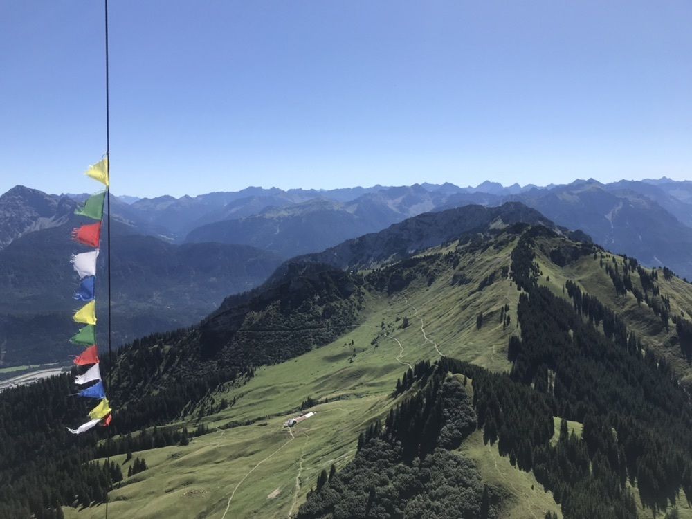
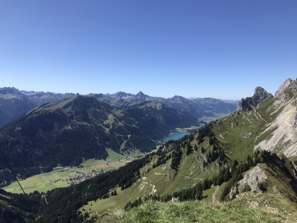
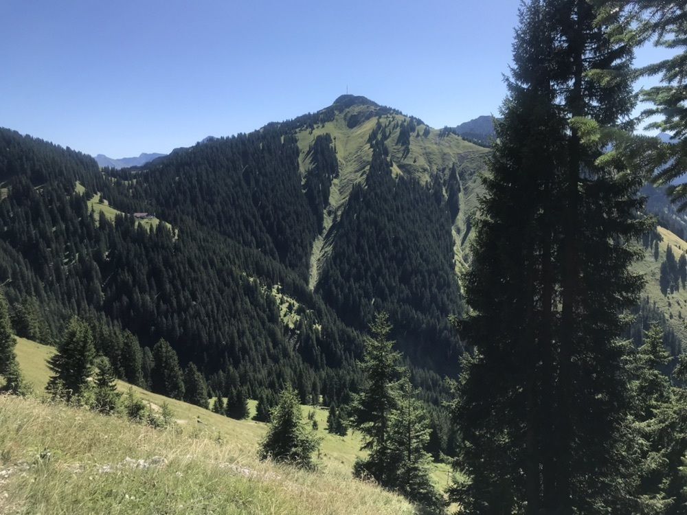
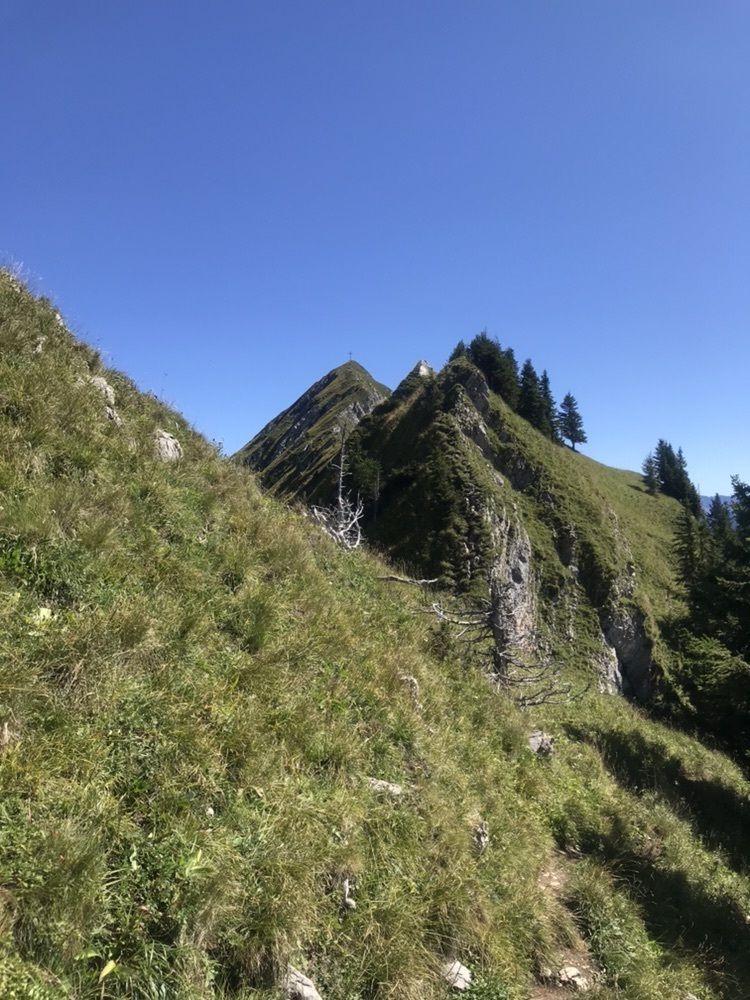
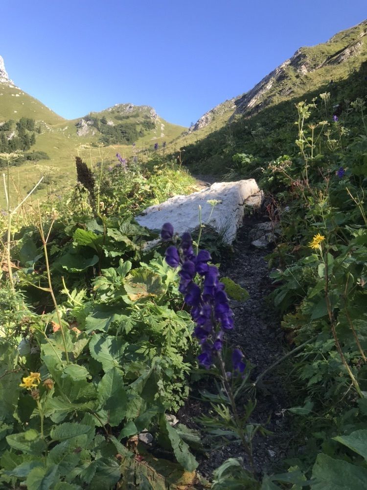
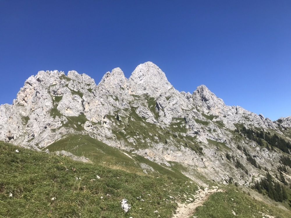
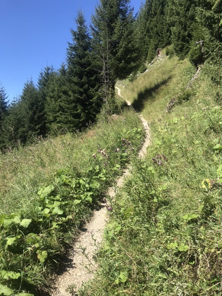
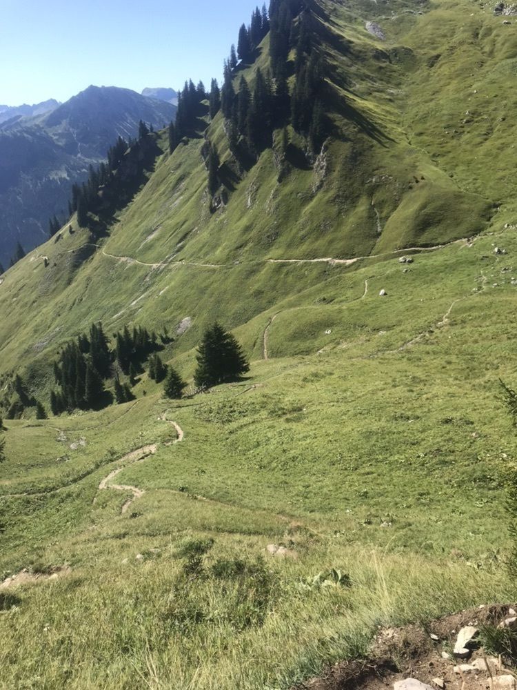
Sabajoch - Schneidspitze - Gehrenjoch
medium
Navigate
Navigate
Get this tour on your mobile
Sabajoch - Schneidspitze - Gehrenjoch
medium
Pješačenje
9,28
km
Scan the QR code and start navigation in the bergfex app

Hiking & Tracking


Distance
9,28
km
Duration
02:54
h
Ascent
927
m
Sea level
1.157 -
1.988
m
Track download
Sabajoch - Schneidspitze - Gehrenjoch
medium
Pješačenje
9,28
km


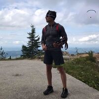
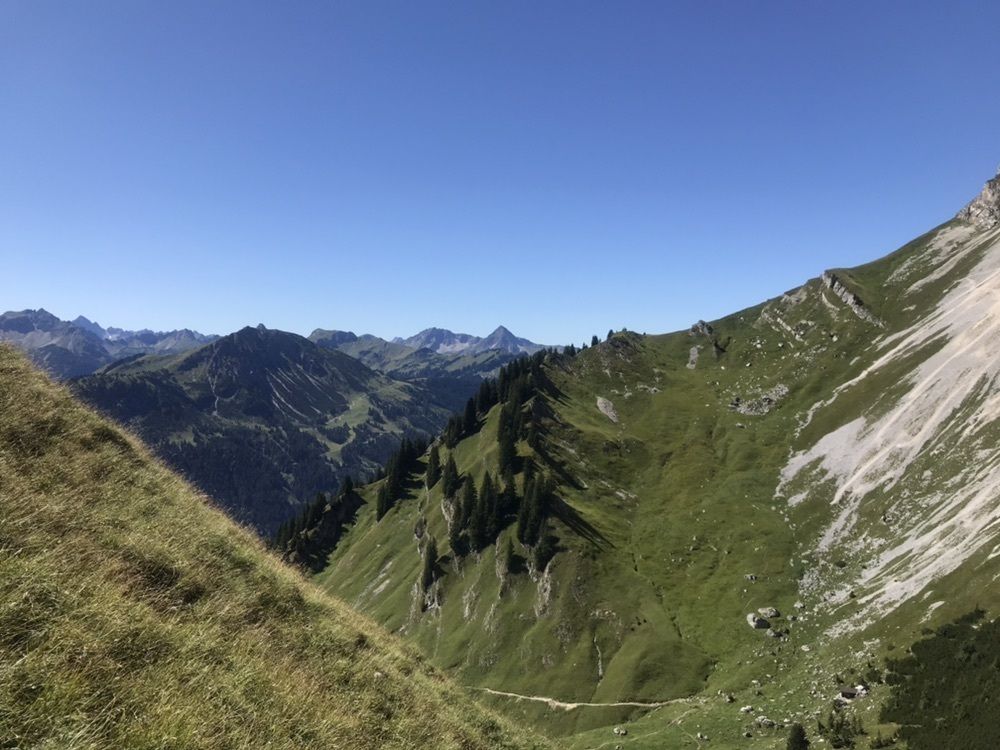
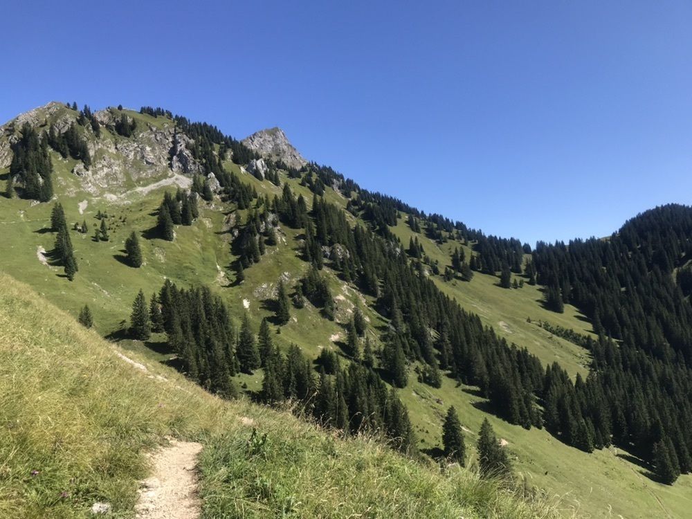
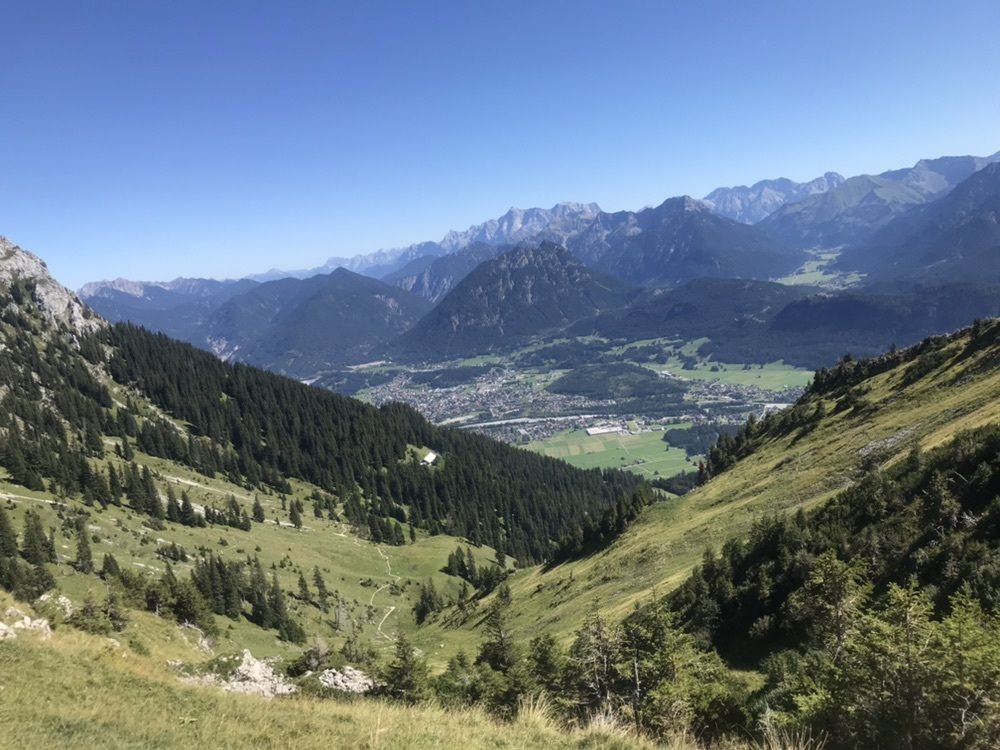
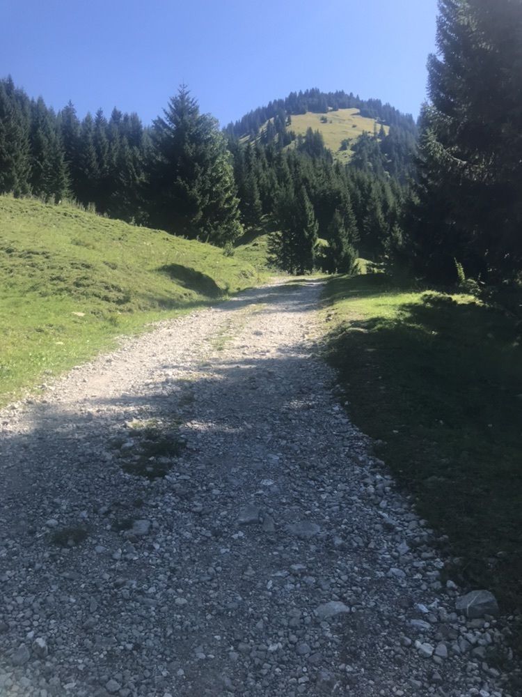
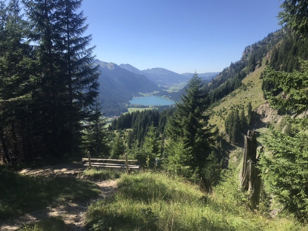
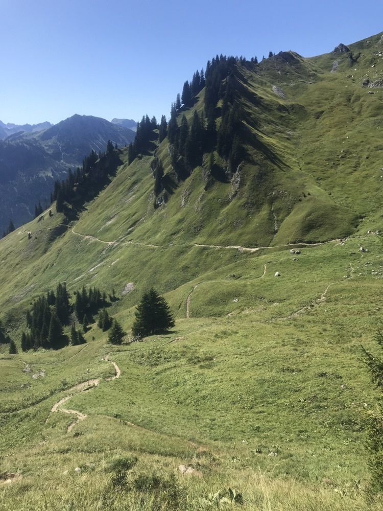
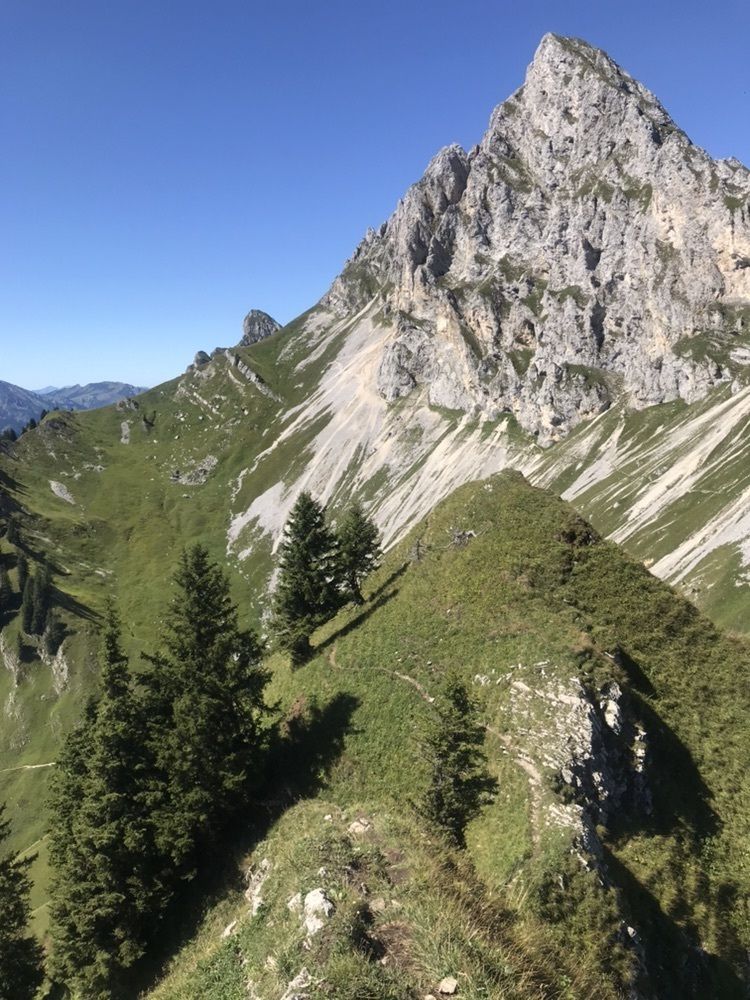
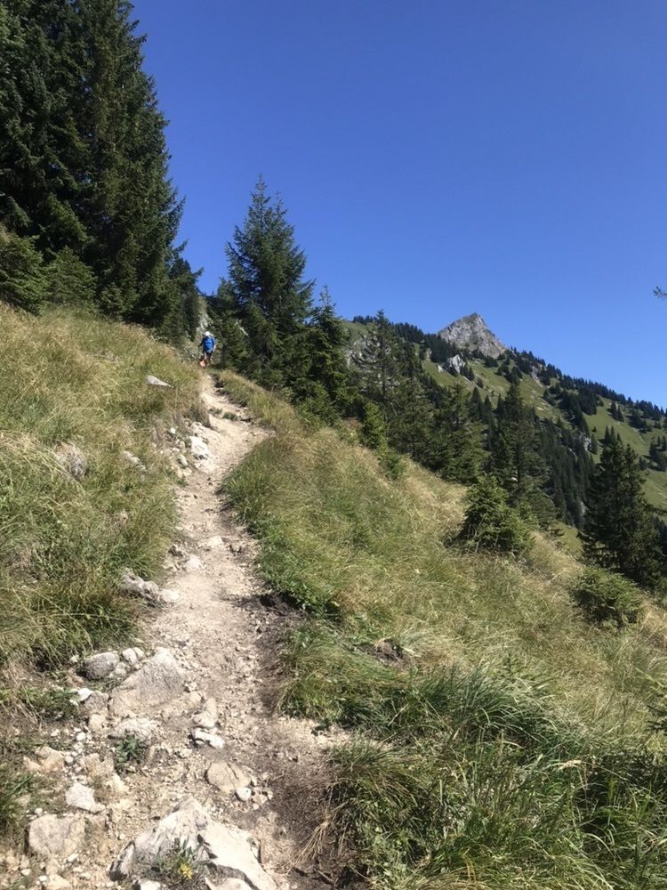
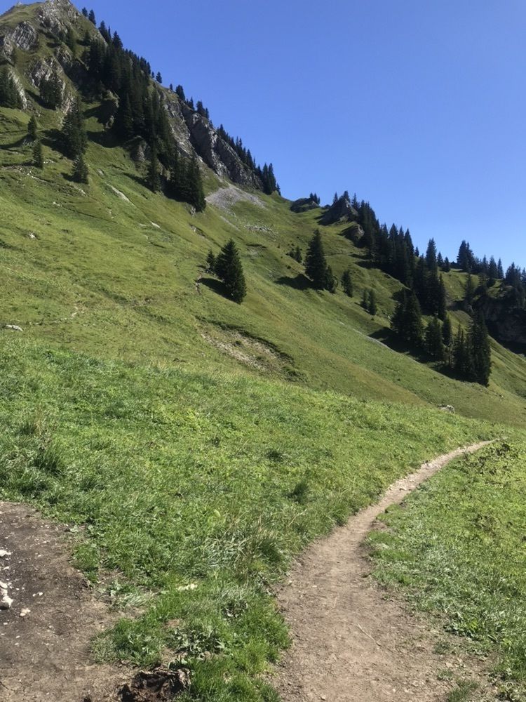
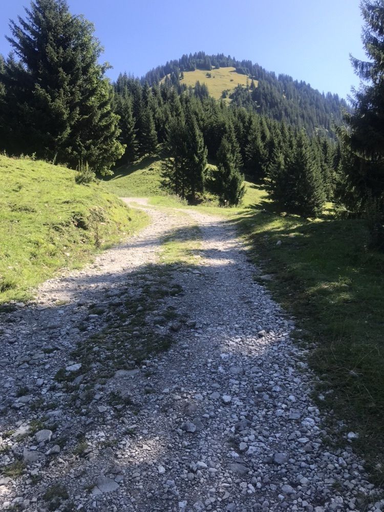
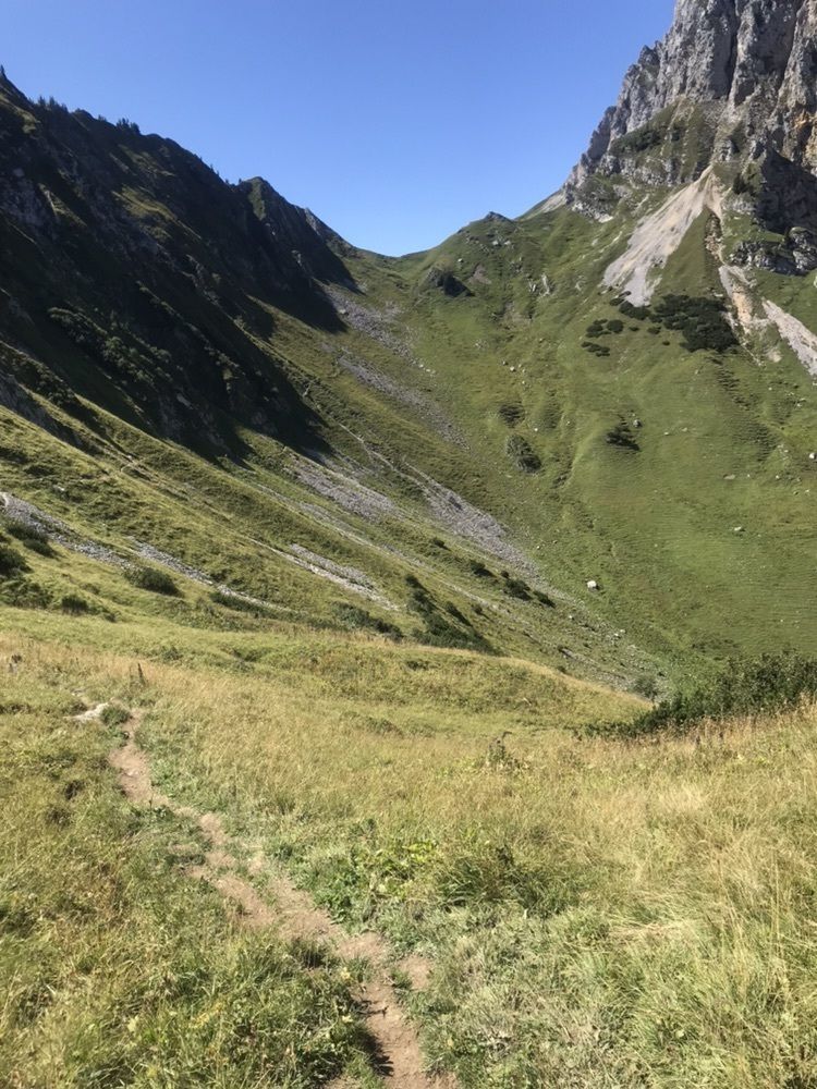
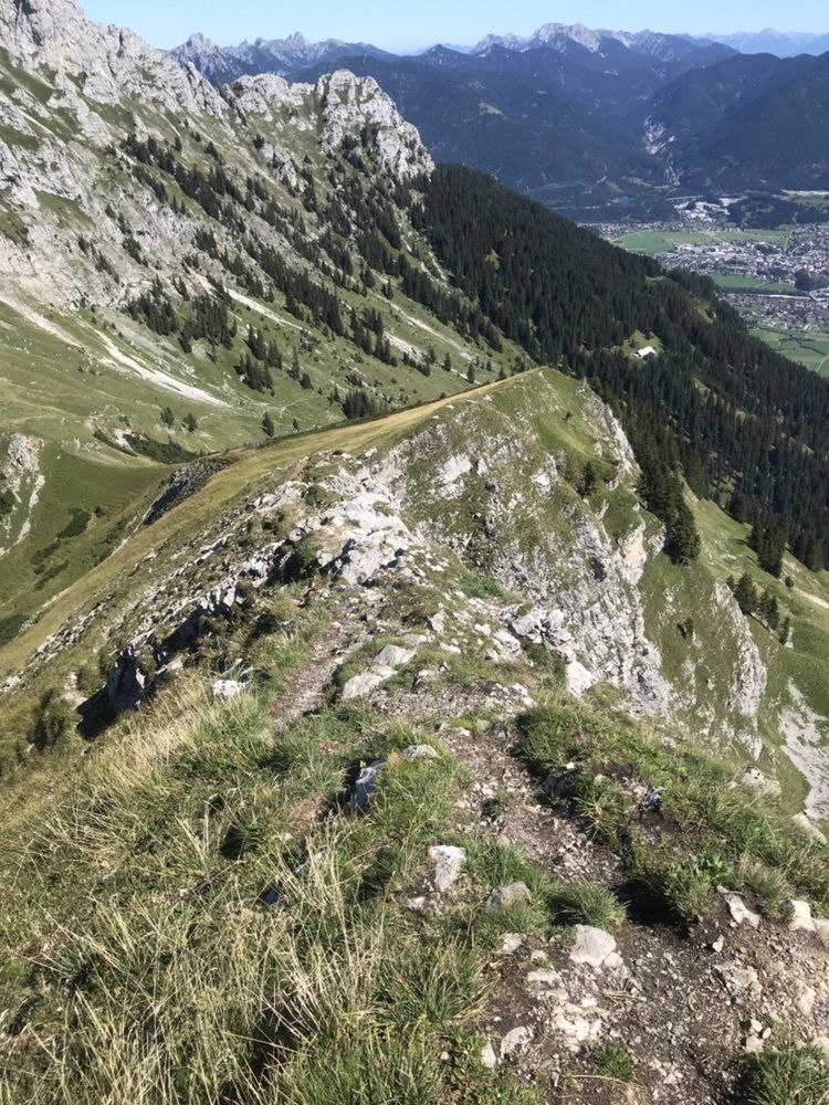
Abwechslungsreiche Tour mit wunderschönen Wiesenwege und stellenweise wo man auch mal die Hände mitnehmen muss.
Route
Nesselwängle
(1.136 m)
Village
0,0 km
Hl. Antonius
(1.170 m)
Place of worship
0,1 km
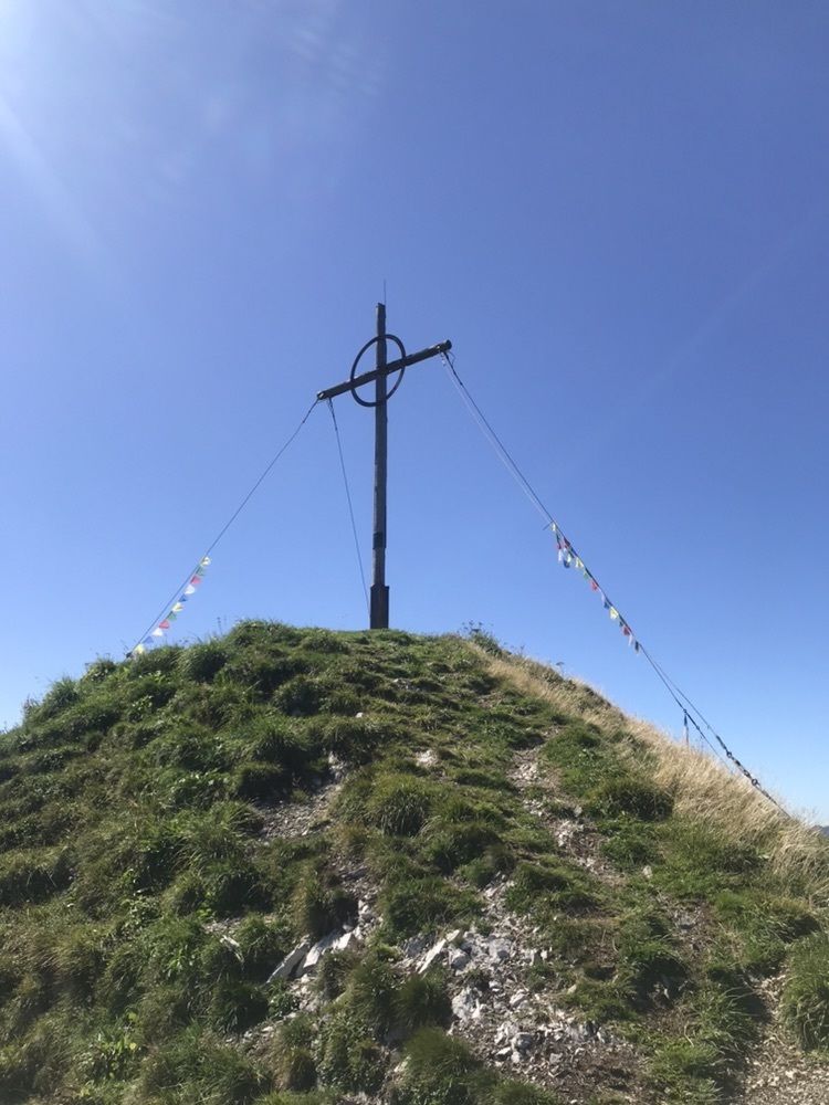
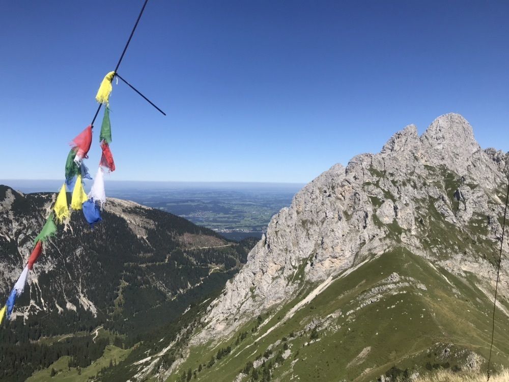
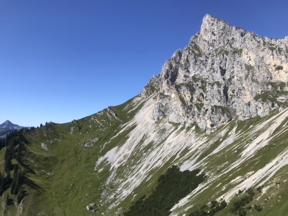
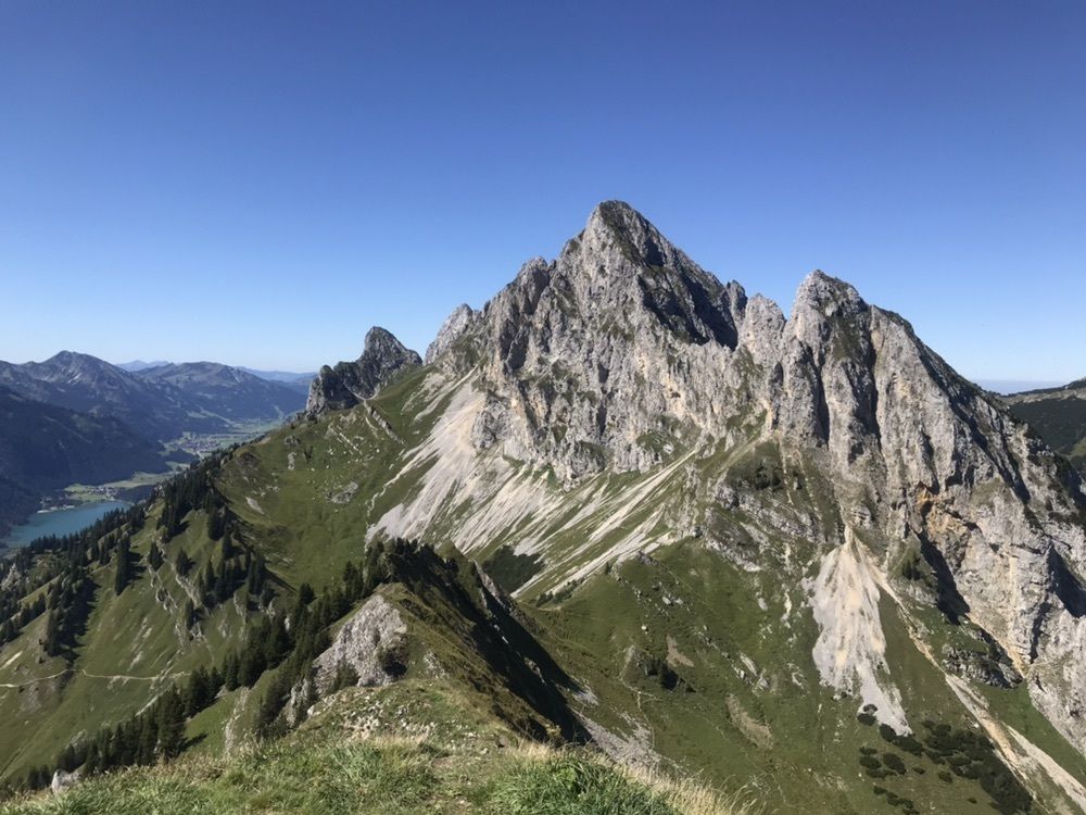
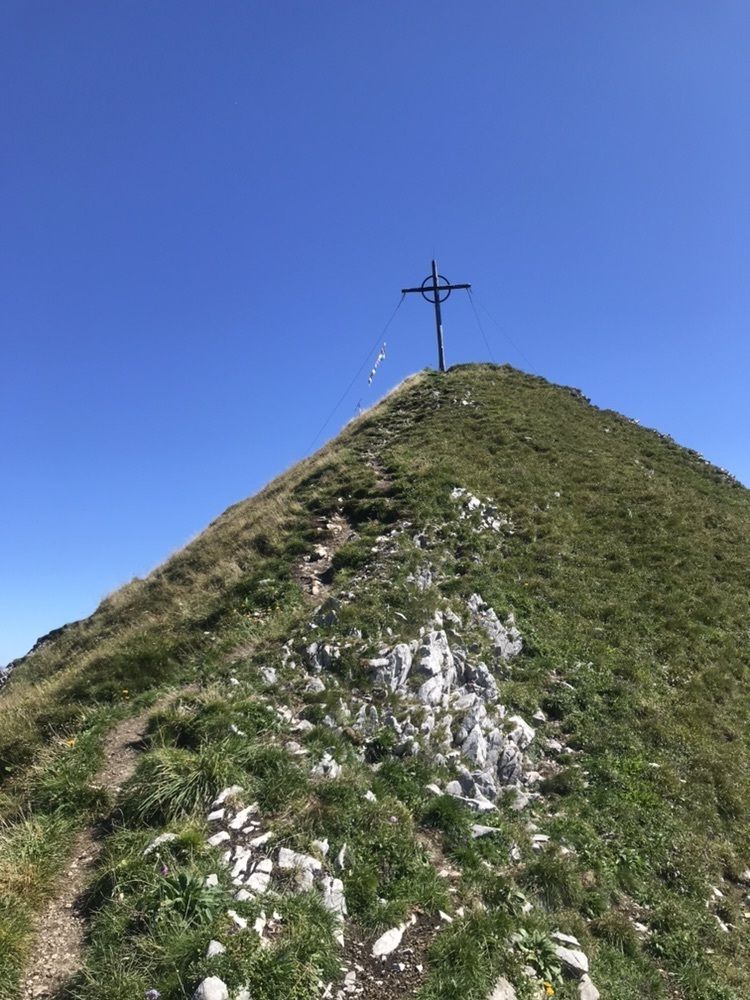
Schneidspitze
(2.000 m)
Summit
4,3 km
Hl. Antonius
(1.170 m)
Place of worship
9,2 km
Nesselwängle
(1.136 m)
Village
9,2 km
Route
Sabajoch - Schneidspitze - Gehrenjoch
medium
Pješačenje
9,28
km
Nesselwängle
(1.136 m)
Village
0,0 km
Hl. Antonius
(1.170 m)
Place of worship
0,1 km
Schneidspitze
(2.000 m)
Summit
4,3 km
Hl. Antonius
(1.170 m)
Place of worship
9,2 km
Nesselwängle
(1.136 m)
Village
9,2 km
Route information
Route
Nesselwängle
Equipment
Gutes Schuhwerk
No reviews yet
Webcams of the tour
-
Höfen Flugplatz
-
Höfen Flugplatz
-
Haldensee - Neunerköpfle
-
Wängle - Panoramahotel Talhof
-
Weißenbach - Hotel Florence
-
Grän - Almdorf Tirol
-
Panoramarestaurant Hahnenkamm
-
Füssener Jöchle Bergstation
-
Füssener Jöchle Bergstation
-
Füssener Jöchle Bergstation
-
Füssener Jöchle Bergstation
-
Füssener Jöchle Bergstation
-
Füssener Jöchle Bergstation
-
Füssener Jöchle Bergstation
-
Haller
-
Haller
-
Haller
-
Haller
-
Haller
-
Höfen Flugplatz
-
Höfen Flugplatz
-
Höfen Flugplatz
-
Höfen Flugplatz
Popular tours in the neighbourhood
-
4,2
Three-lake route (awarded the Tyrolean Hiking Trail Seal of Quality)
mediumPješačenje 14,8 km -
4,2
Höllschlucht hike » Water & Forest
mediumPješačenje 7,38 km -
4,6
3-Seen Rundtour Vilsalpsee / Schrecksee / Traualpsee
mediumPješačenje 17,1 km -
4,5
Mountain hike to the Aggenstein
heavyPješačenje 15,3 km -
4,5
Circular hike Dreh- and Rohrkopfhütte
lightPješačenje 8,76 km -
4,0
Od Tannheima do Sulzspitzea
mediumPješačenje 15,6 km -
3,6
Rundwanderung Plansee
mediumPješačenje 9,80 km -
4,8
Around Weißensee
lightPješačenje 6,12 km -
5,0
Hiking tour to Breitenberg
heavyPješačenje 15,6 km -
5,0
Gemeinde Grän, Tirol/Österreich Aggenstein Rundtour über Höhenweg
mediumPješačenje 9,84 km
bergfex Tours

Over 550.000 tour suggestions, detailed maps and an intuitive route planner make the app a must-have for all nature enthusiasts.

Ne propustite ponude i inspiraciju za vaš sljedeći odmor
Subscribe to the newsletter
Error
An error has occurred. Please try again.
Thank you for your registration
Your e-mail address has been added to the mailing list.
Tours throughout Europe
Austrija
Švicarska
Njemačka
Italija
Slovenija
Francuska
Nizozemska
Belgija
Poljska
Lihtenštajn
Češka
Slovačka
Španija
Hrvatska
Bosna i Hercegovina
Luksemburg
Andora
Portugal
Island
Ujedinjeno Kraljevstvo
Irska
Grčka
Albanija
Sjeverna Makedonija
Malta
Norveška
Crna Gora
Moldova
Kosovo
Mađarska
San Marino
Rumunjska
Estonija
Latvija
Bjelorusija
Cipar
Litva
Srbija
Bugarska
Monako
Danska
Švedska
Finska