


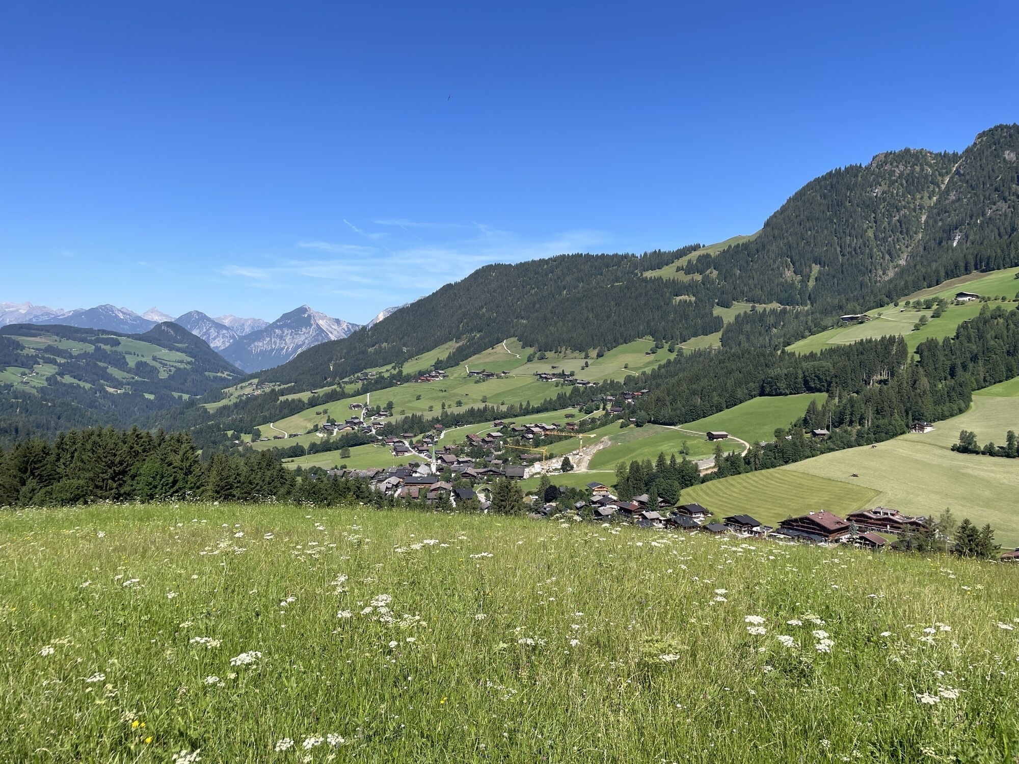
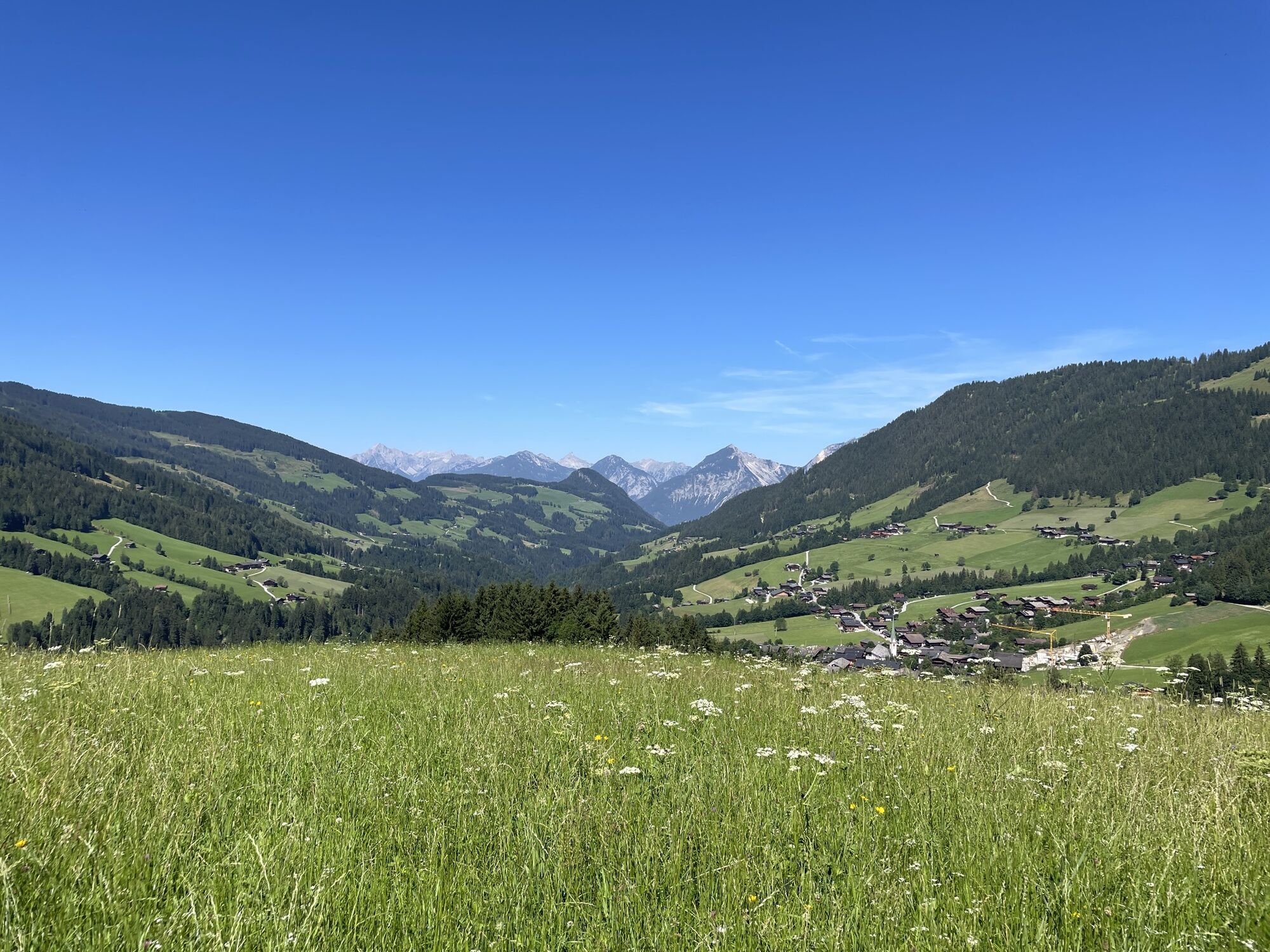
Startpunkt der Tour ist das Ortszentrum von Alpbach (975 m, bekannt durch das jährlich stattfindende Forum Alpbach). Zuerst vorbei am Verkehrsbüro, über die Mühlbachbrücke und nach links auf den Mühlbachweg...
Startpunkt der Tour ist das Ortszentrum von Alpbach (975 m, bekannt durch das jährlich stattfindende Forum Alpbach). Zuerst vorbei am Verkehrsbüro, über die Mühlbachbrücke und nach links auf den Mühlbachweg (Nr. A3). Bis zur Straße, dann rechts (Weg Nr. A8) bis zum Gasthof Roßmoos und weiter zum Stolzenbergbauern. An diesem Punkt nach links auf den Weg Nr. A21 und bergan. Vorbei an der Pechlalm und auf dem Weg Nr. A28 über die Wurmeggalm bis auf den Gipfel des Schatzberges (1898 m).
Von hier auf dem Weg Nr. A28 bis zum Schatzberghaus (Gondel-Bergstation) und auf Weg Nr. 54 über den Thalerkogel (1733 m) bis zur Höslalm (1536 m). Über das Hösljoch und die Höslkapelle auf Weg Nr. A23 zurück bis auf den Weg Nr. A3 und zum Ortszentrum von Alpbach.


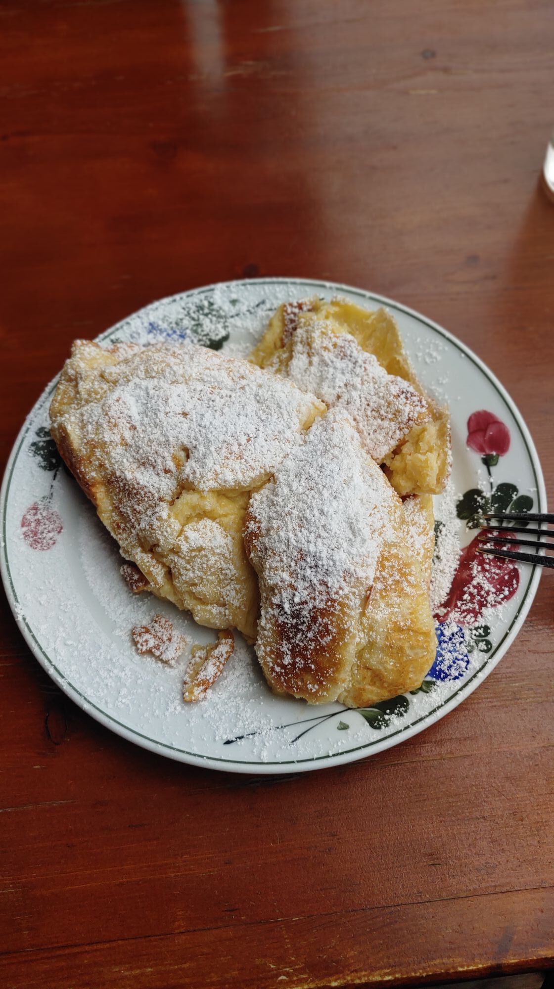
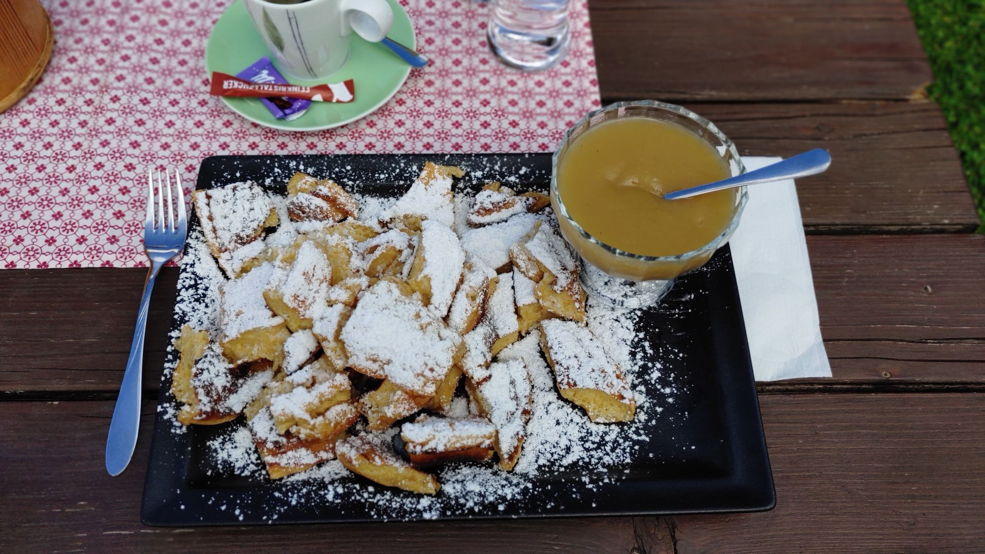
Gasthof Roßmoos, Schatzbergalm, Jausenstation Thalerhof;
Yes
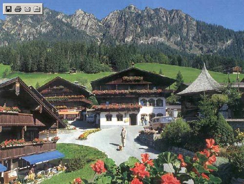
An der Abfahrt Kramsach von der A 12 abfahren. Über Reith bis nach Alpbach.
Popular tours in the neighbourhood
-
4,4
Den Panoramaweg um das Wiedersbergerhorn
Pješačenje 3,40 km -
4,8
Rosskopf
lightPješačenje 7,02 km -
5,0
Eben - Astenau Alpe - Ebner Joch - Eben
mediumPješačenje 7,82 km -
4,5
Gratwanderung zum Standkopf 2.241 m
mediumPješačenje 9,28 km -
2,5
Kundler Klamm
lightPješačenje 6,33 km -
5,0
Tiefenbachklamm
lightPješačenje 12,2 km -
4,8
3-Gipfel-Tour Alpbach
mediumPješačenje 6,27 km -
4,8
Reintalersee-Umrundung
lightPješačenje 4,79 km -
5,0
Bayreuther Hütte
mediumMountainbike 18,2 km -
4,8
Tiefenbach klamm.
mediumPješačenje 9,47 km
bergfex Tours


Ne propustite ponude i inspiraciju za vaš sljedeći odmor
Your e-mail address has been added to the mailing list.