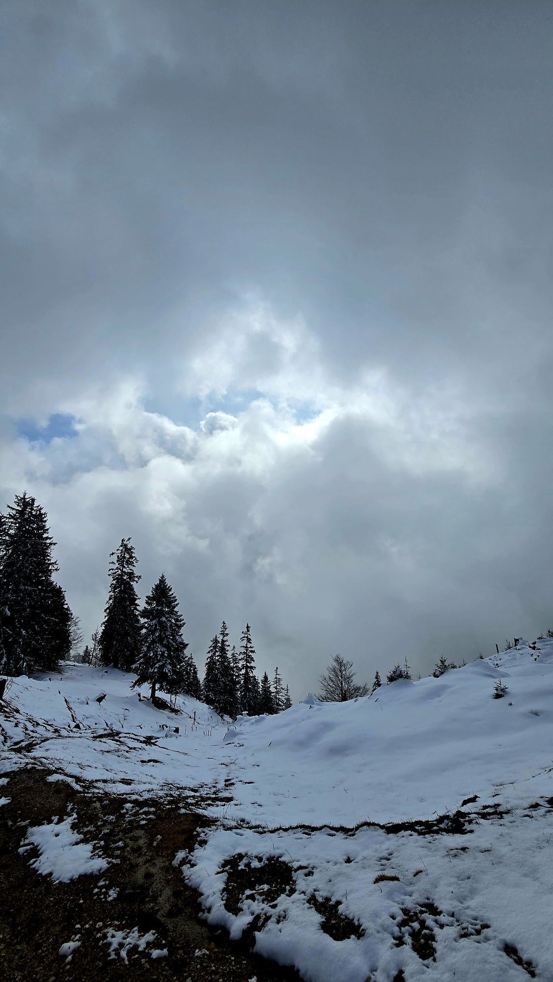
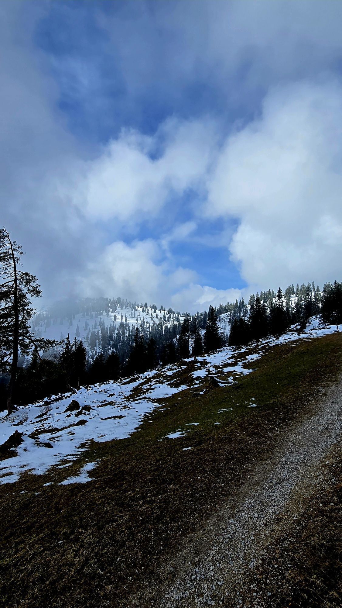
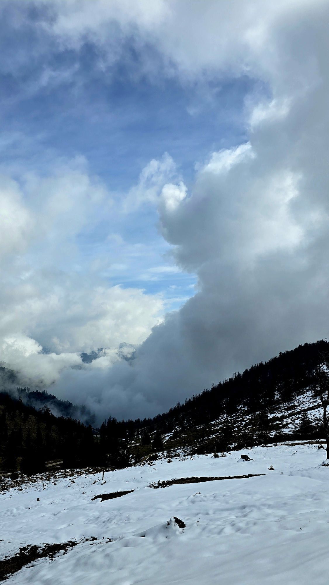
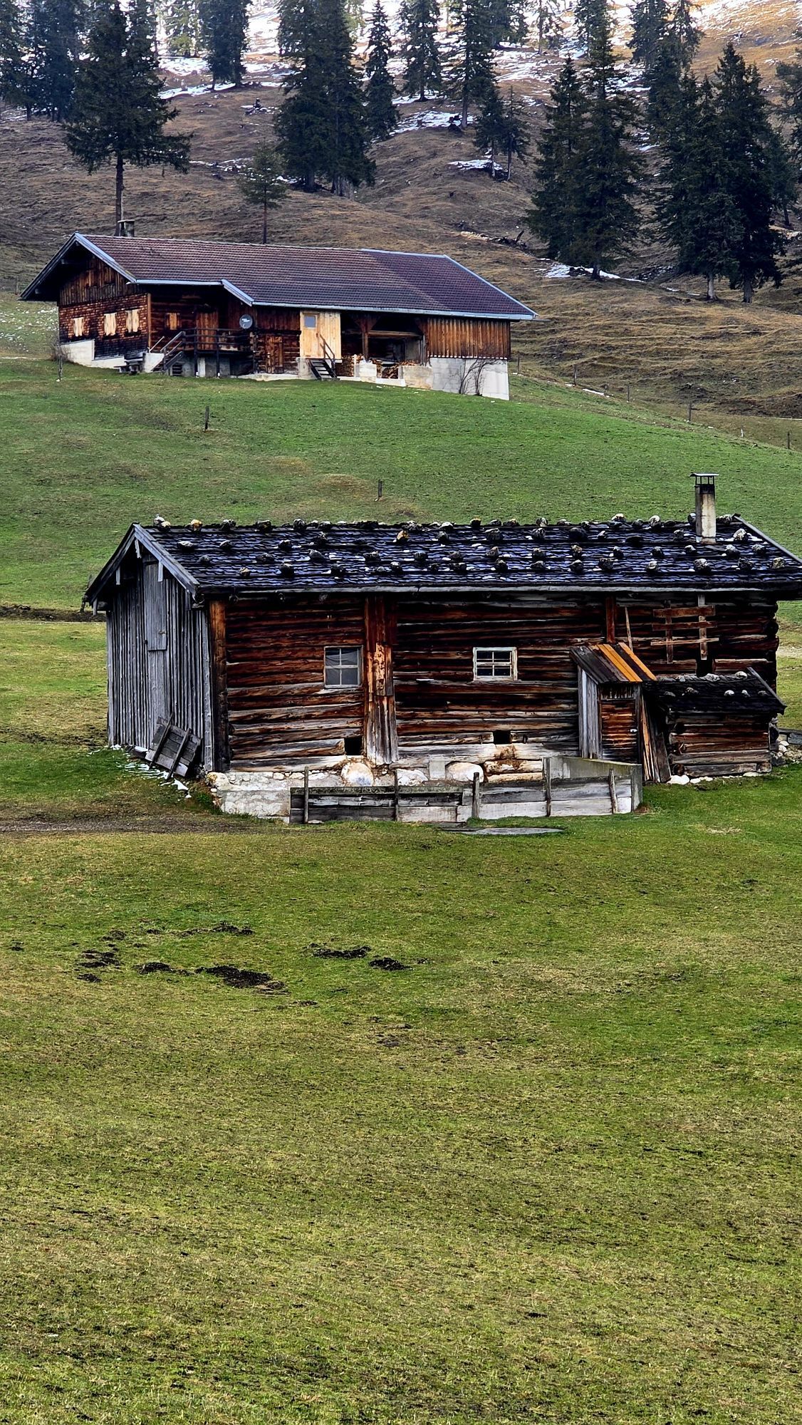
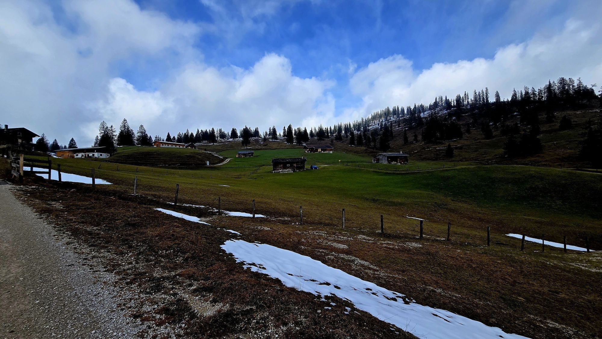
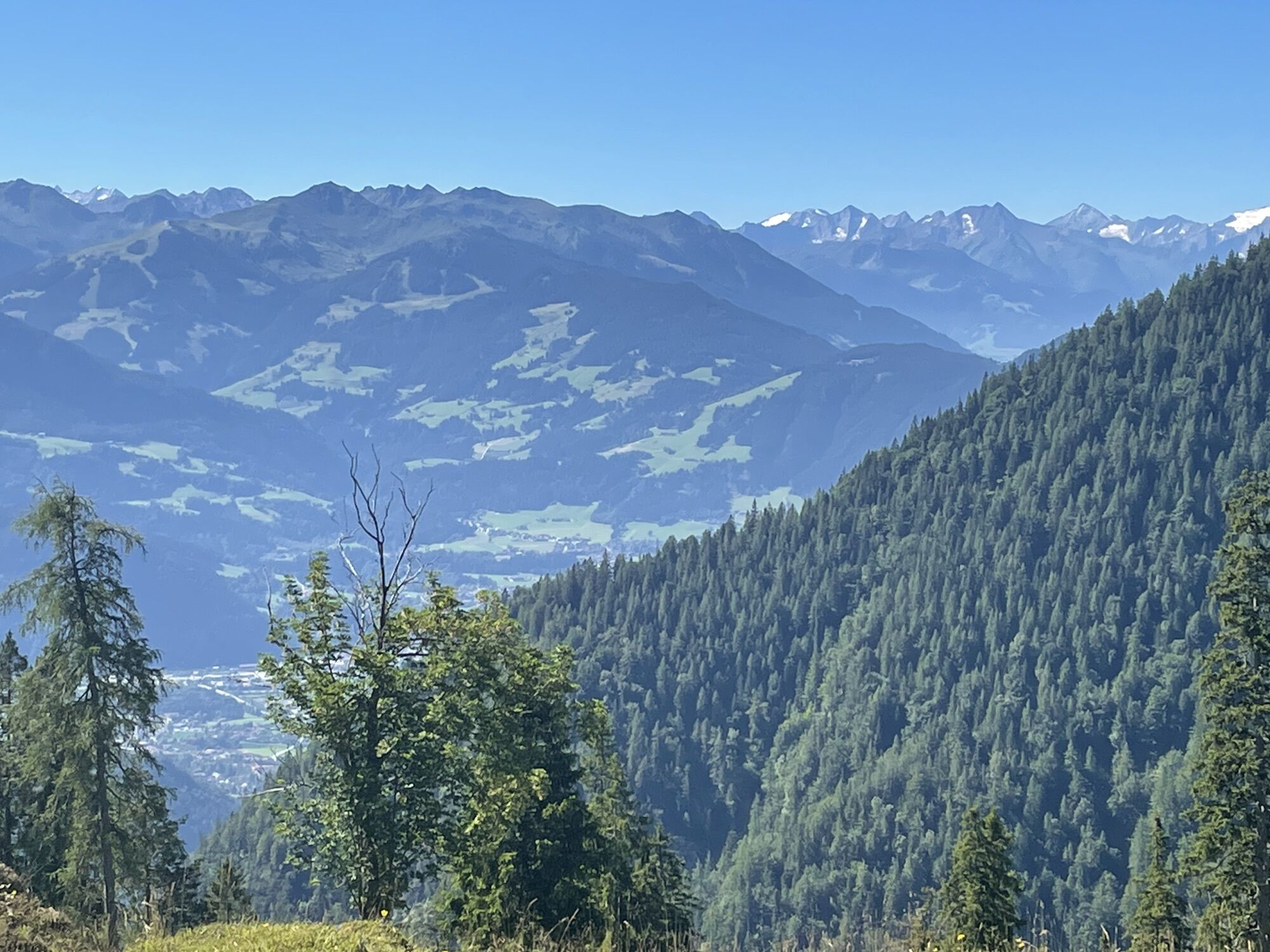
Anderl´s Almhütte hike
Pješačenje
Navigate
Navigate
Get this tour on your mobile
Anderl´s Almhütte hike
Pješačenje
7,71
km
Scan the QR code and start navigation in the bergfex app

Hiking & Tracking


Distance
7,71
km
Duration
-
h
Ascent
409
m
Sea level
1.173 -
1.529
m
Track download
Anderl´s Almhütte hike
Pješačenje
7,71
km


No reviews yet
Popular tours in the neighbourhood
-
4,5
Achensee-Umrundung
mediumPješačenje 23,3 km -
4,5
Wandern zum Bärenkopf
mediumPješačenje 10,9 km -
4,6
Uferweg von Pertisau zur Gaissalm am Achensee, Österreich
mediumPješačenje 5,16 km -
4,8
Bergstation Rofan Seilbahn - Dalfaz Alm - Bergstation Rofan Seilbahn
lightPješačenje 4,94 km -
4,9
Achensee - Erfurter Hütte
mediumPješačenje 9,24 km -
4,8
Hochiss und Gschöllkopf mit Rofanbahn
mediumPješačenje 6,40 km -
4,5
Maurach - Dalfaz Alm - Dalfazer Wasserfall - Maurach
mediumPješačenje 10,4 km -
4,8
Wanderung Achenkirch Pertisau am Westufer des Achensees
mediumPješačenje 8,82 km -
4,6
Rundwanderung zum Bärenkopf
mediumPješačenje 16,2 km -
5,0
Hochiss and Dalfazer Kamm
heavyPješačenje 7,30 km

bergfex Tours

Over 550.000 tour suggestions, detailed maps and an intuitive route planner make the app a must-have for all nature enthusiasts.

Ne propustite ponude i inspiraciju za vaš sljedeći odmor
Subscribe to the newsletter
Error
An error has occurred. Please try again.
Thank you for your registration
Your e-mail address has been added to the mailing list.
Tours throughout Europe
Austrija
Švicarska
Njemačka
Italija
Slovenija
Francuska
Nizozemska
Belgija
Poljska
Lihtenštajn
Češka
Slovačka
Španija
Hrvatska
Bosna i Hercegovina
Luksemburg
Andora
Portugal
Island
Ujedinjeno Kraljevstvo
Irska
Grčka
Albanija
Sjeverna Makedonija
Malta
Norveška
Crna Gora
Moldova
Kosovo
Mađarska
San Marino
Rumunjska
Estonija
Latvija
Bjelorusija
Cipar
Litva
Srbija
Bugarska
Monako
Danska
Švedska
Finska