SalzburgerHochthron-Salzi
Pješačenje
Navigate
Navigate
Get this tour on your mobile
SalzburgerHochthron-Salzi
Pješačenje
10,93
km
Scan the QR code and start navigation in the bergfex app

Hiking & Tracking


Distance
10,93
km
Duration
06:05
h
Ascent
1.421
m
Sea level
441 -
1.800
m
Track download
SalzburgerHochthron-Salzi
Pješačenje
10,93
km


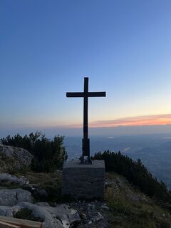
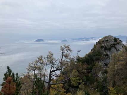
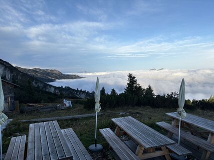
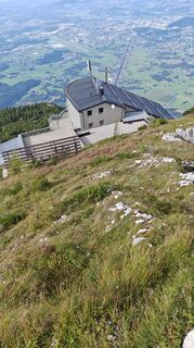
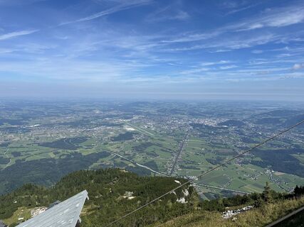
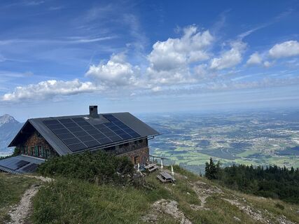
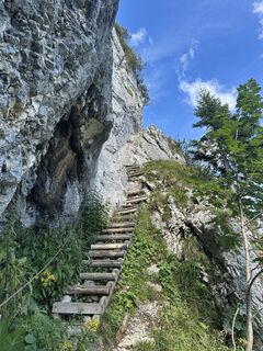
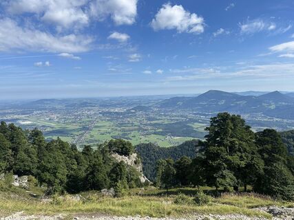
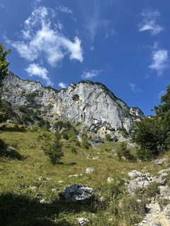
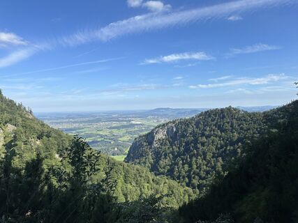
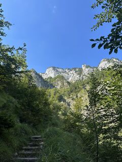
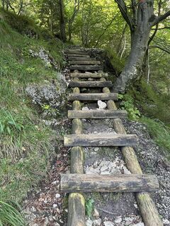
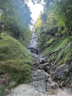
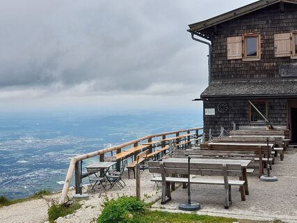
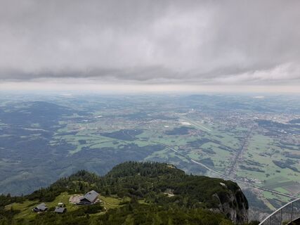
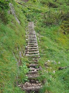
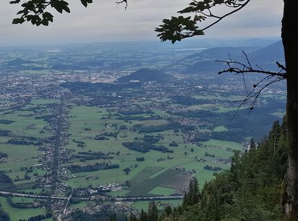
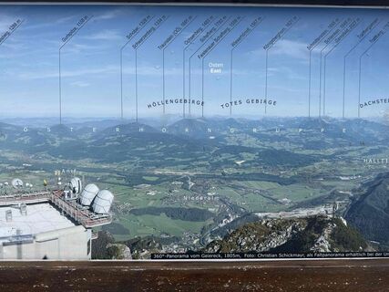
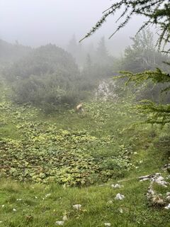
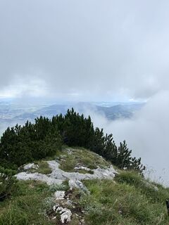
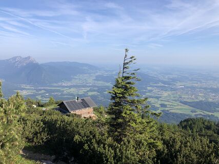
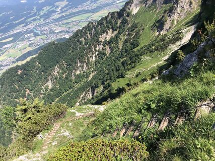
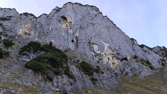
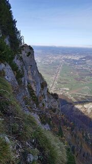
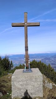
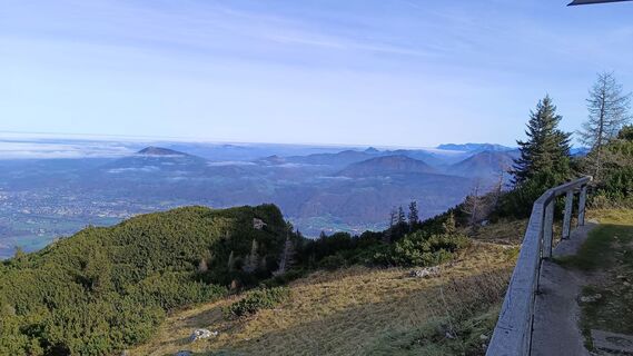
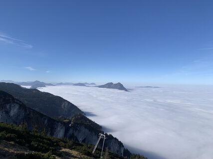
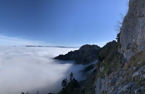
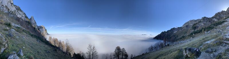
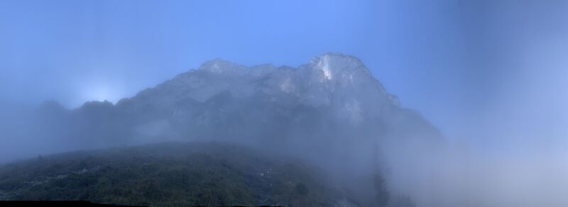
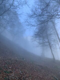
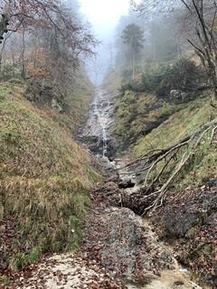
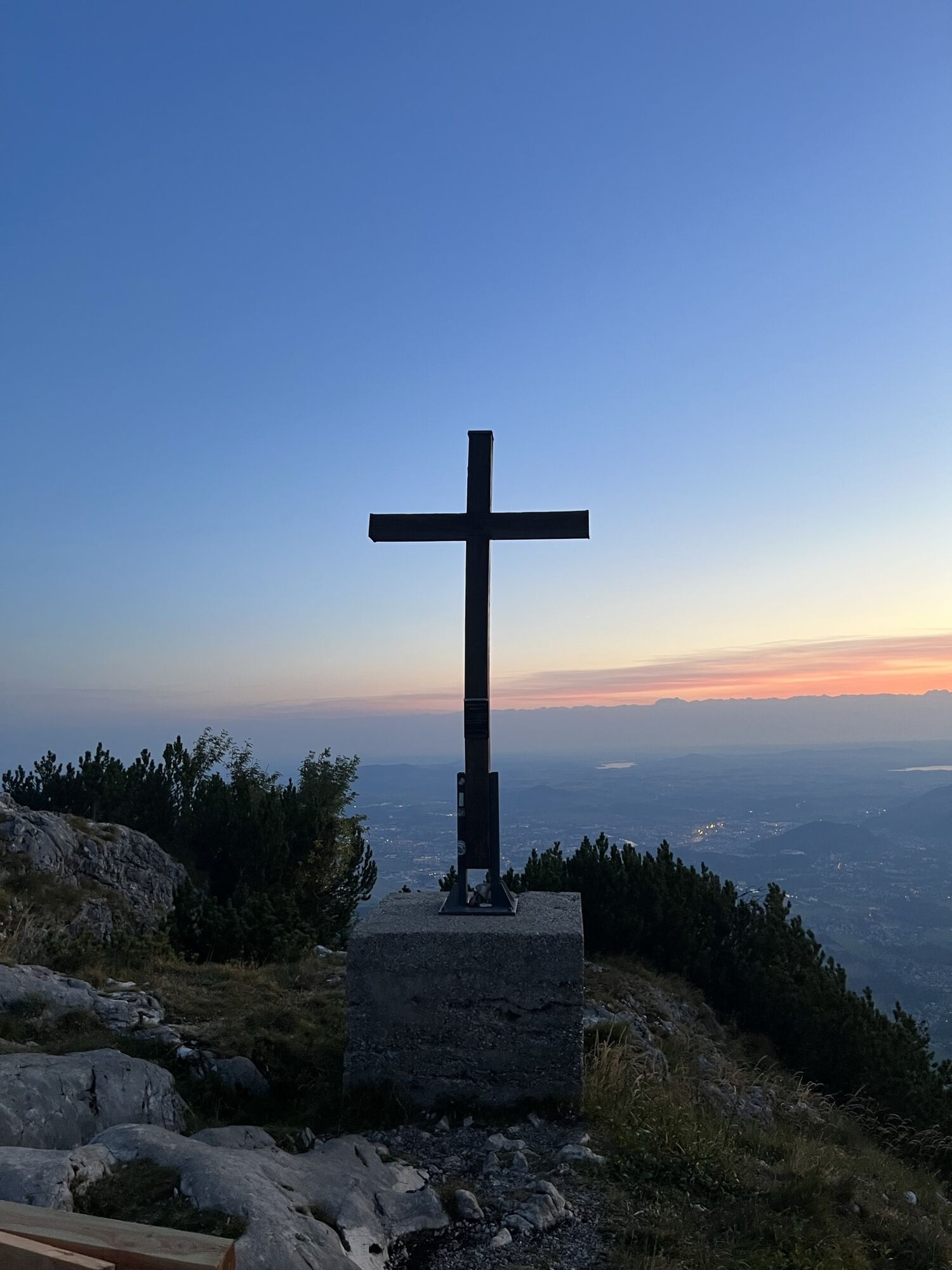
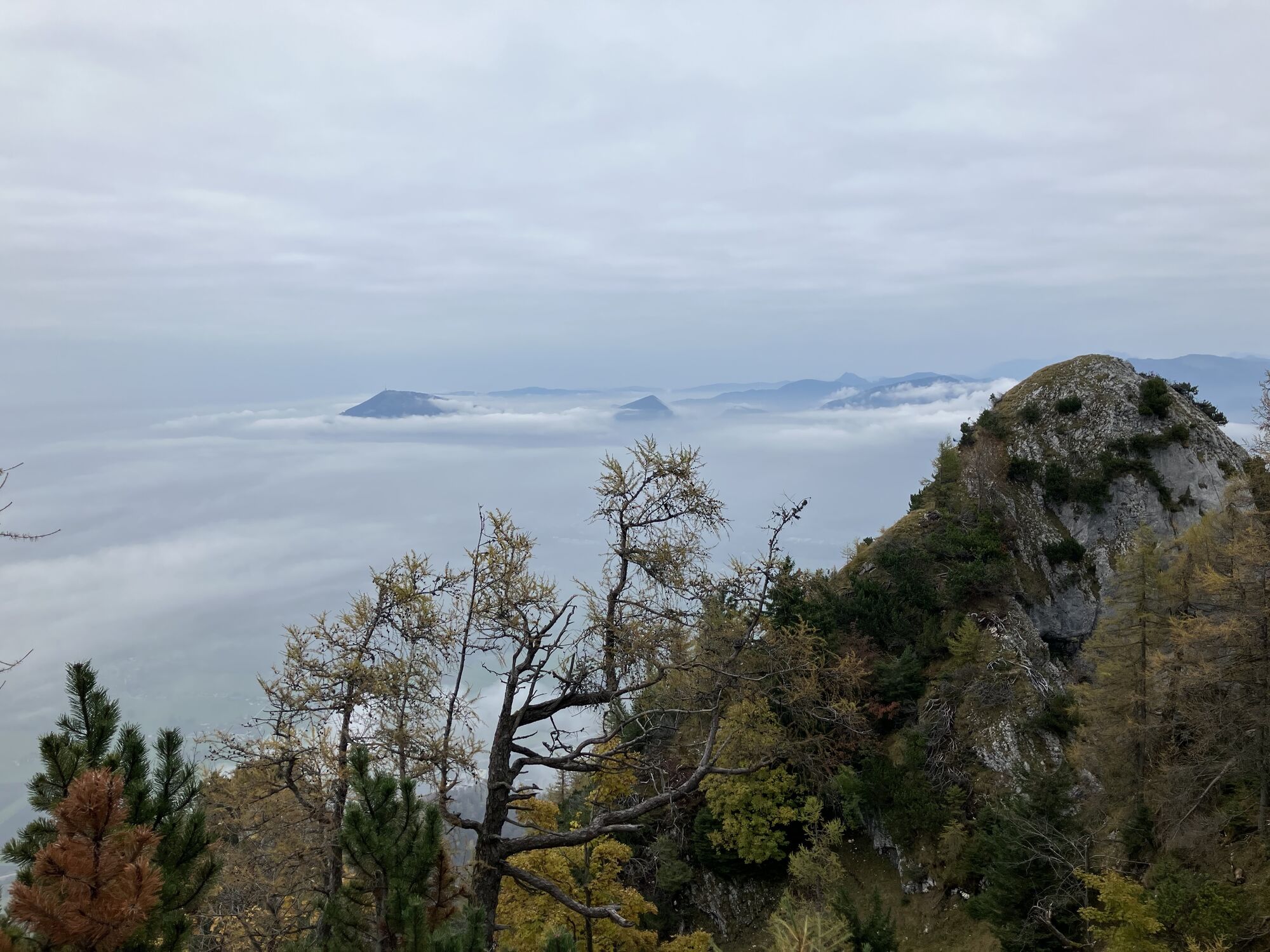
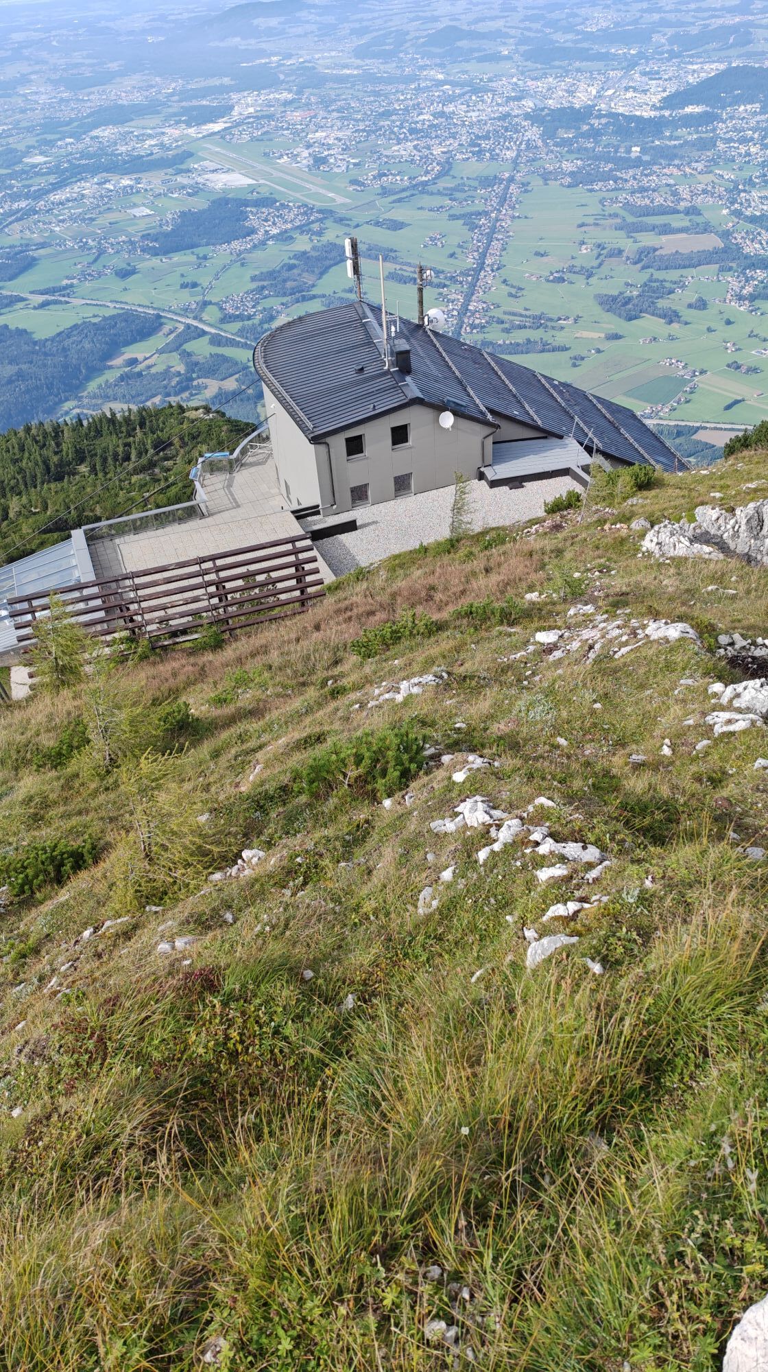
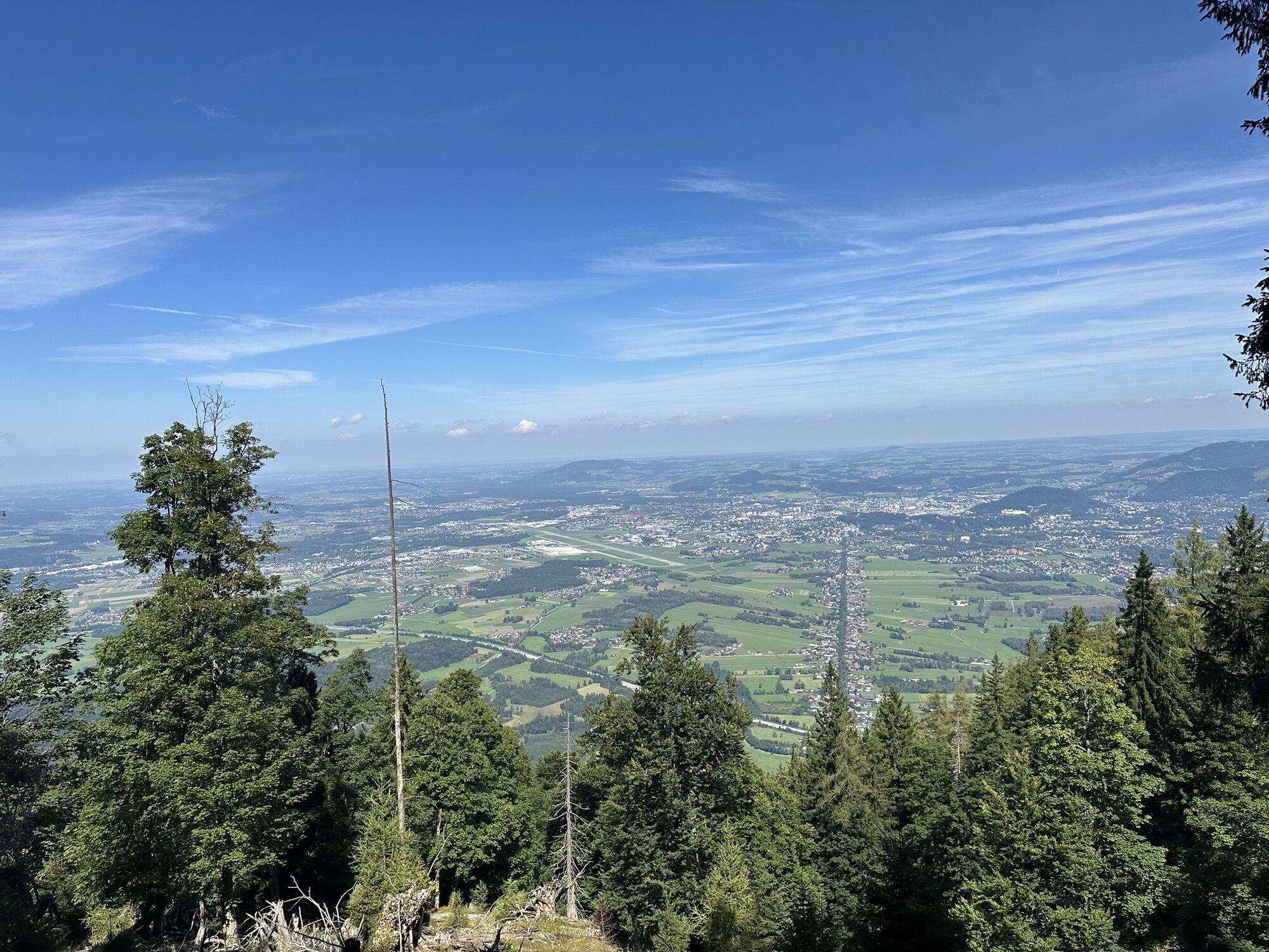
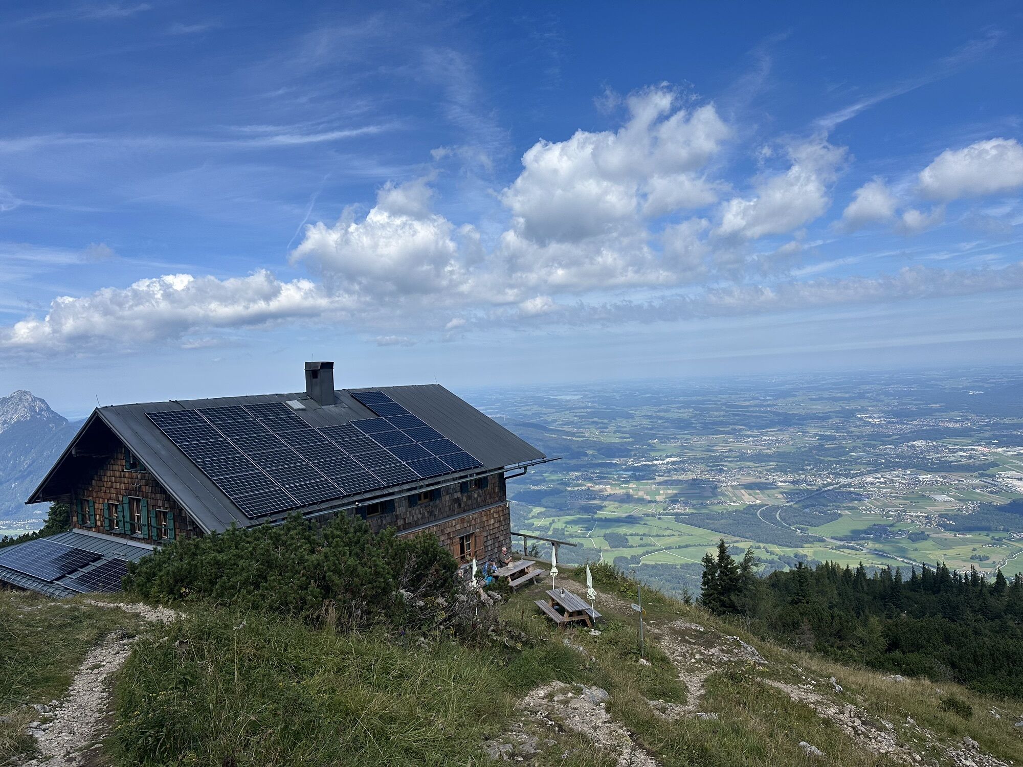
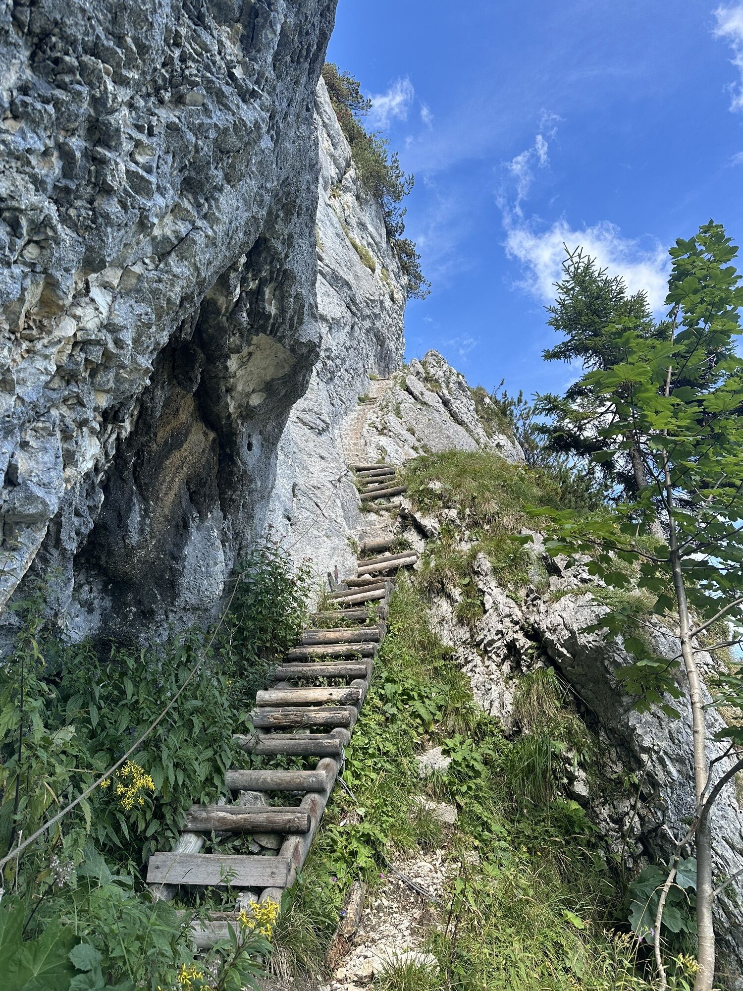
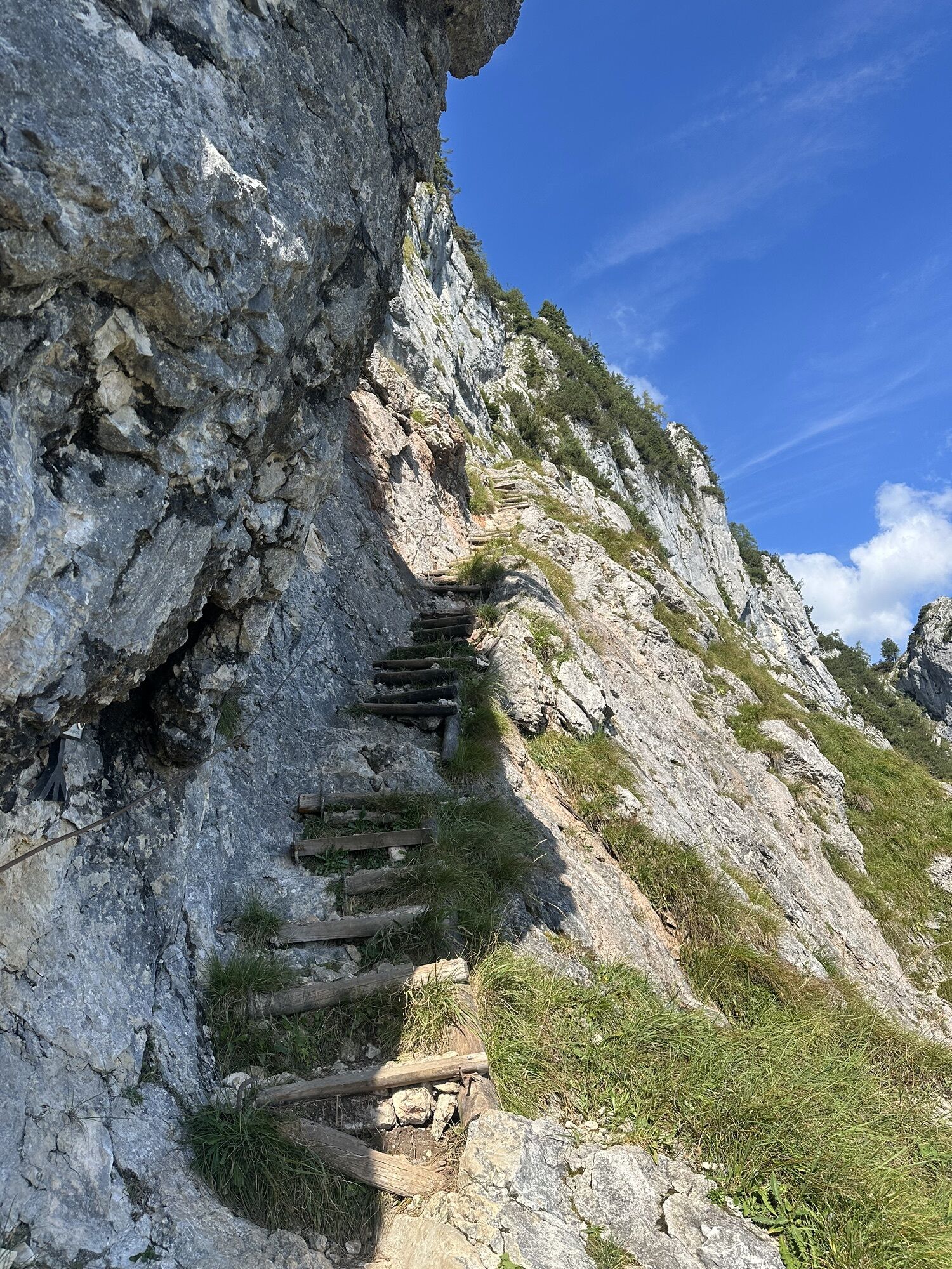
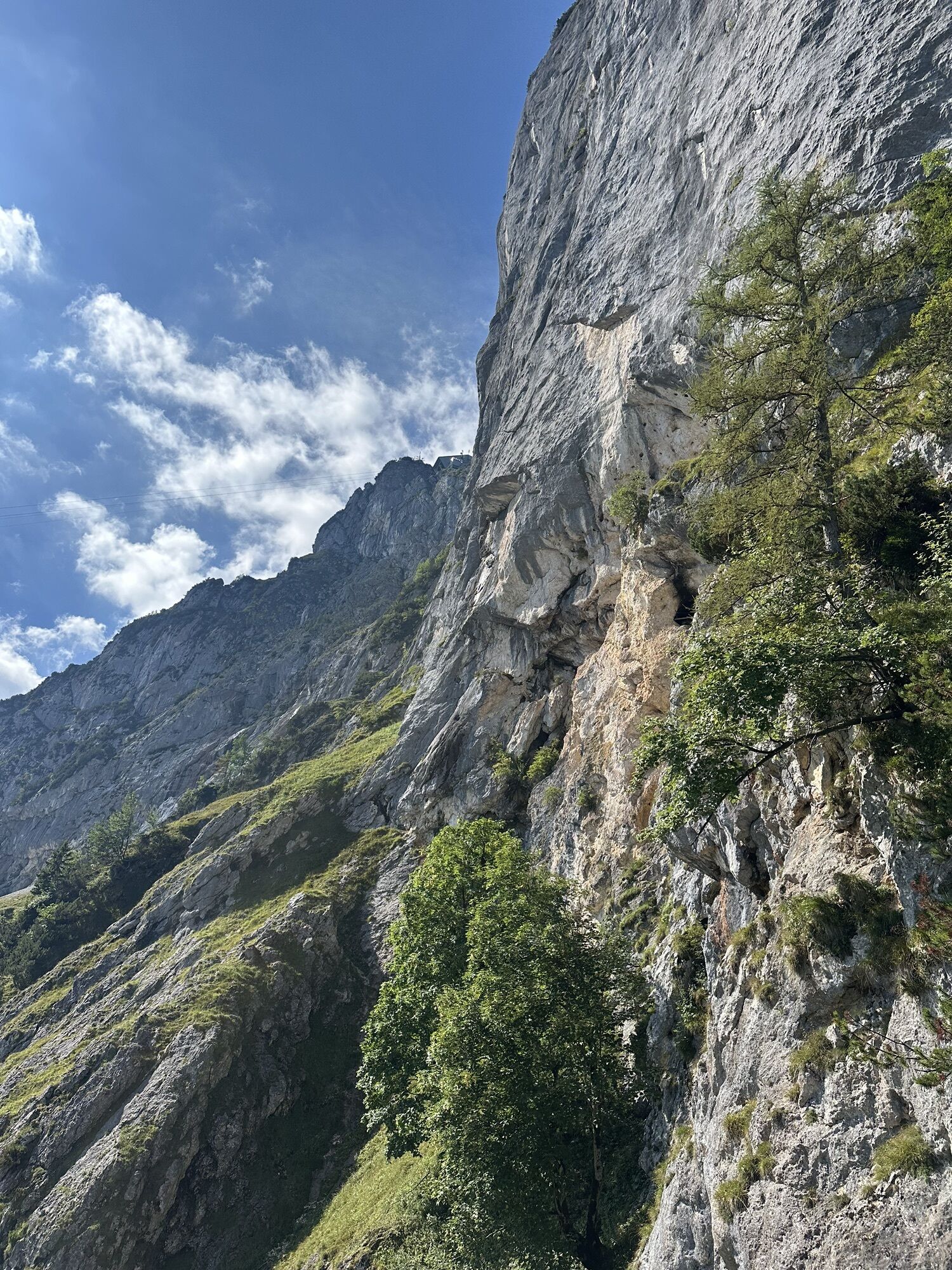
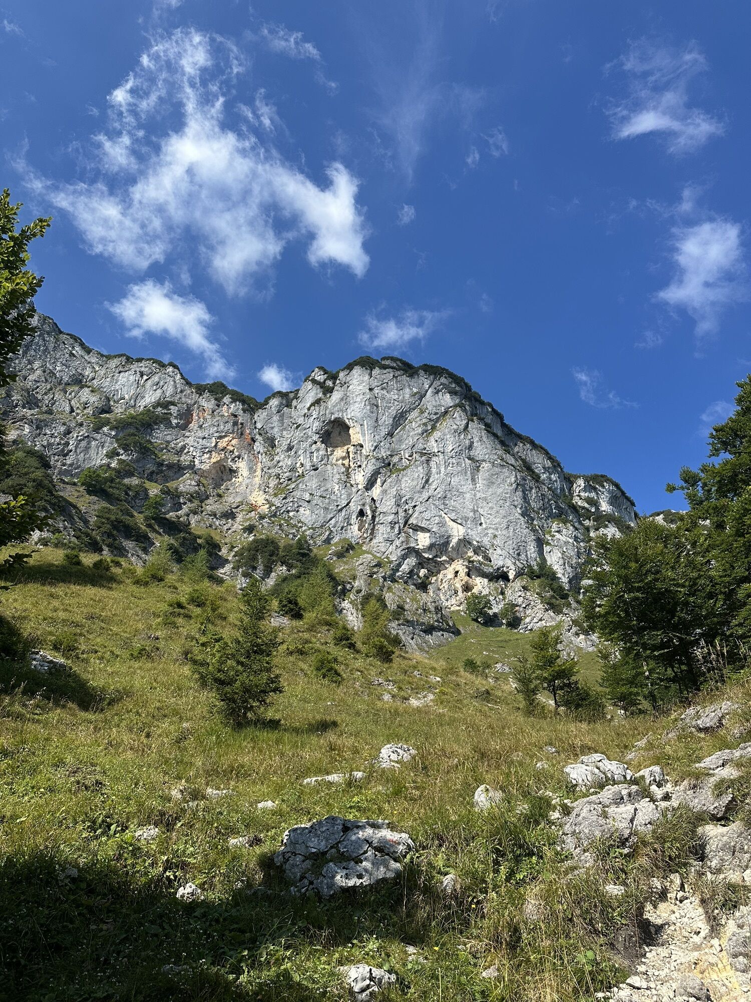
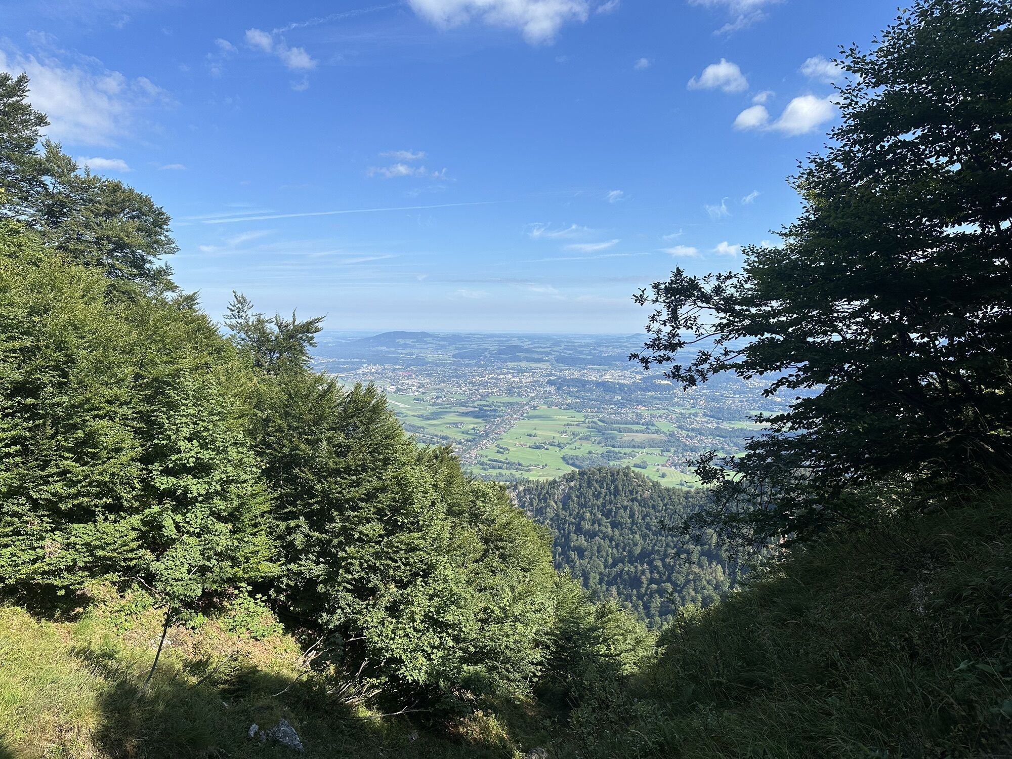
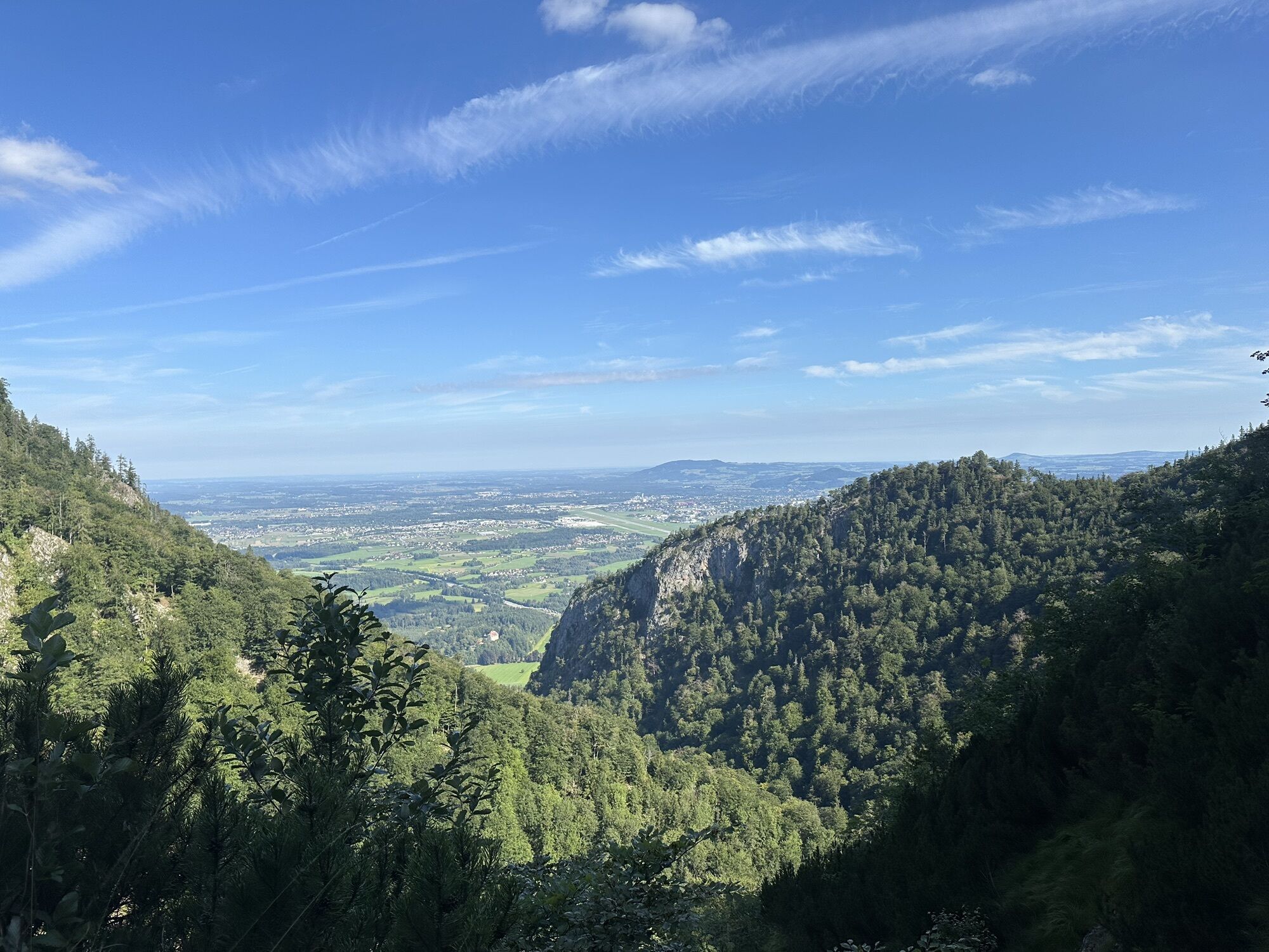
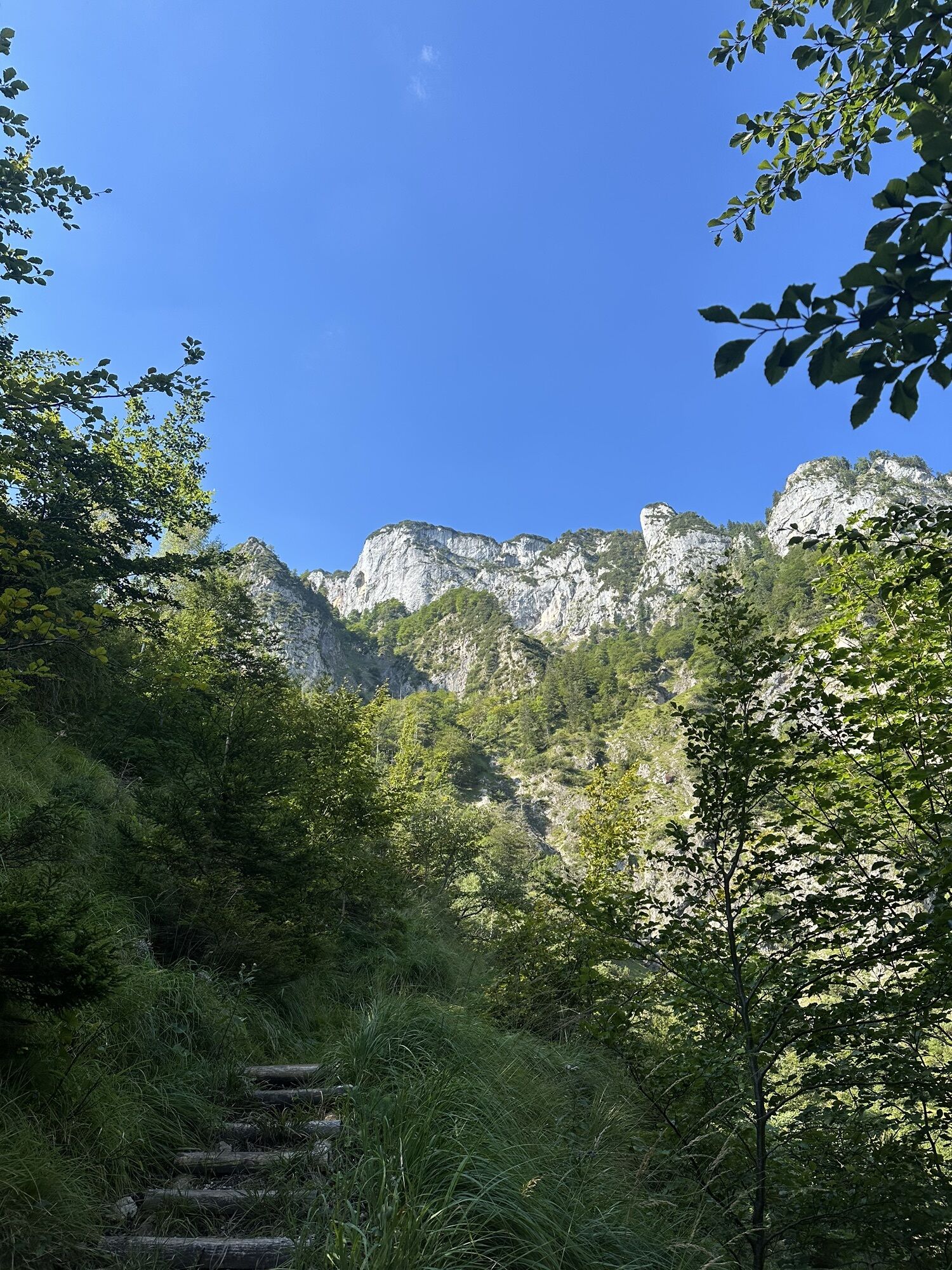
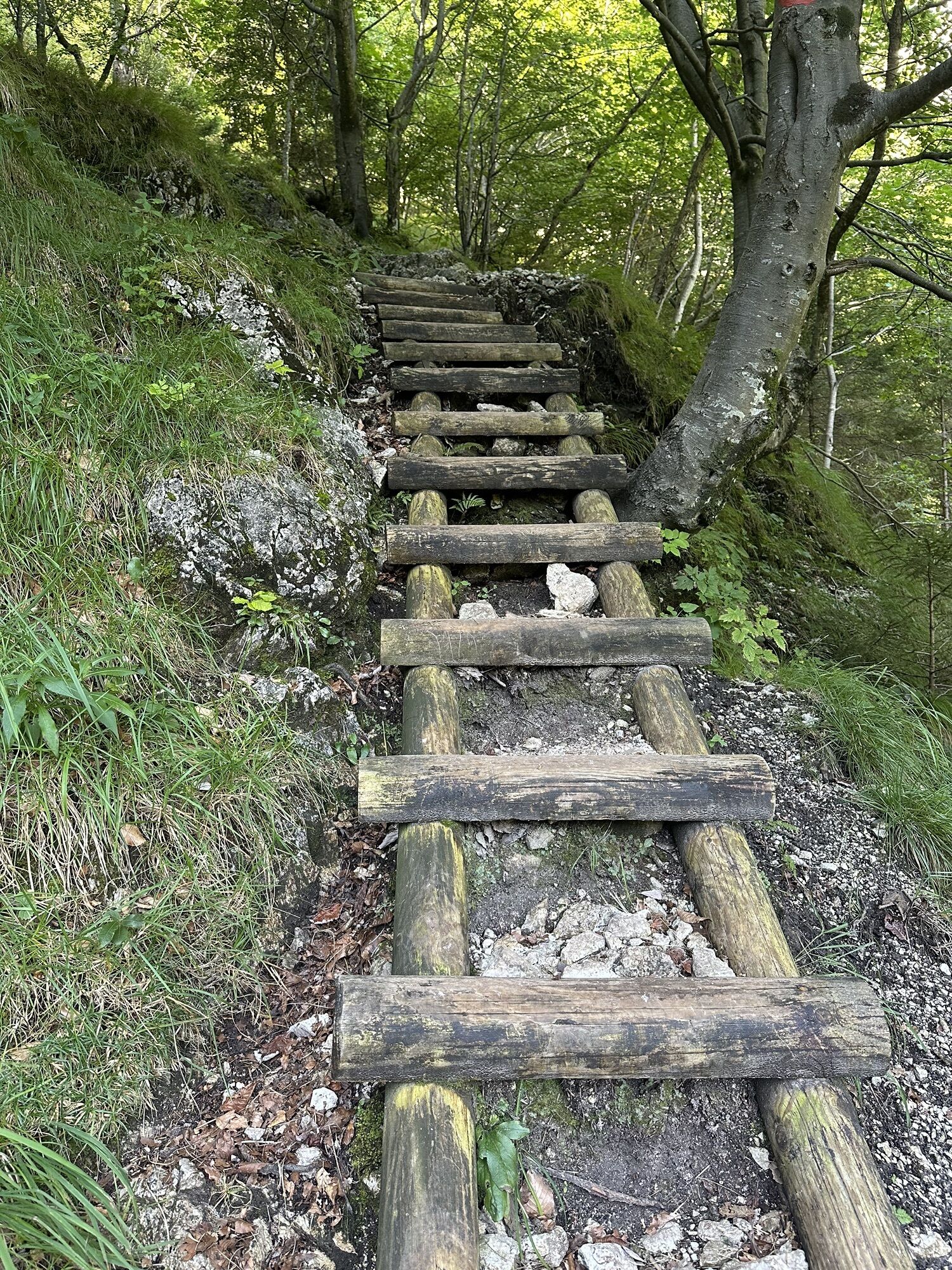
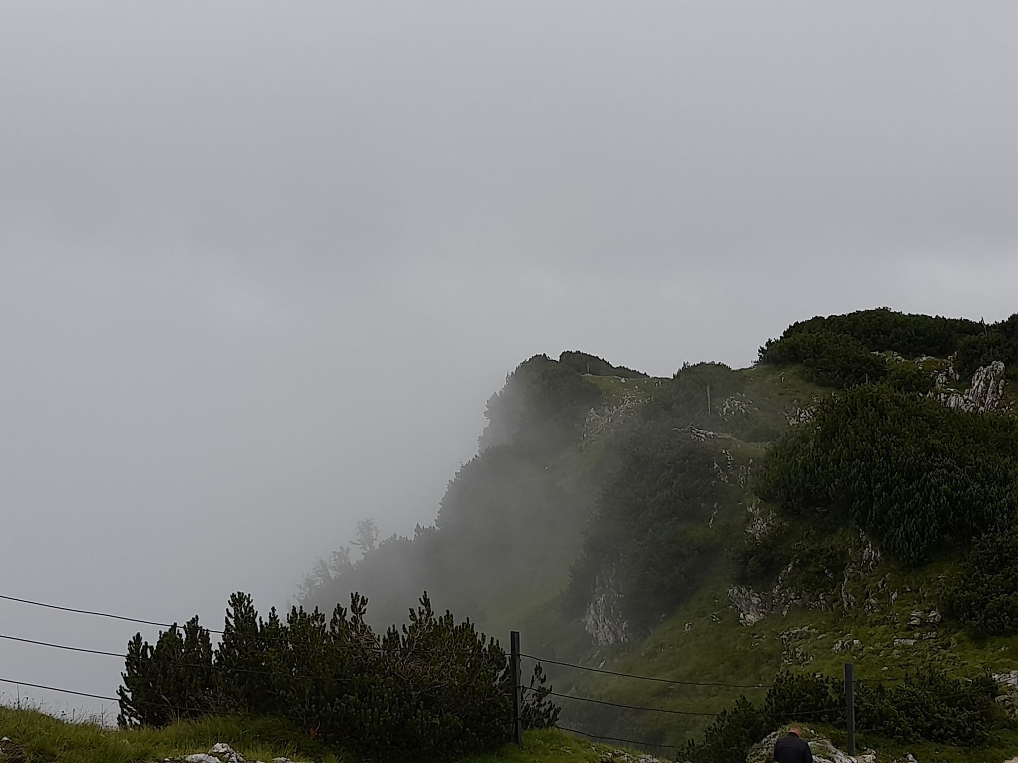
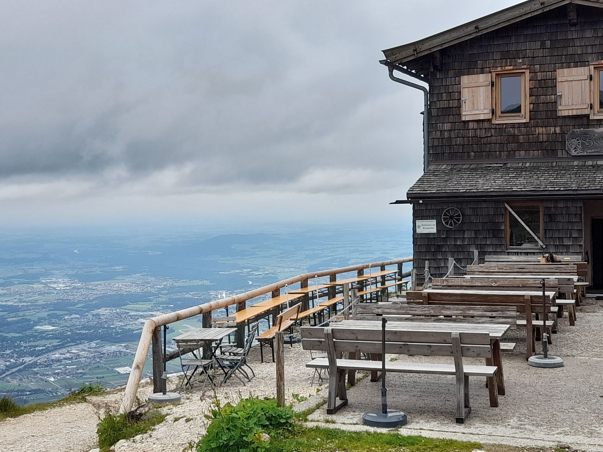
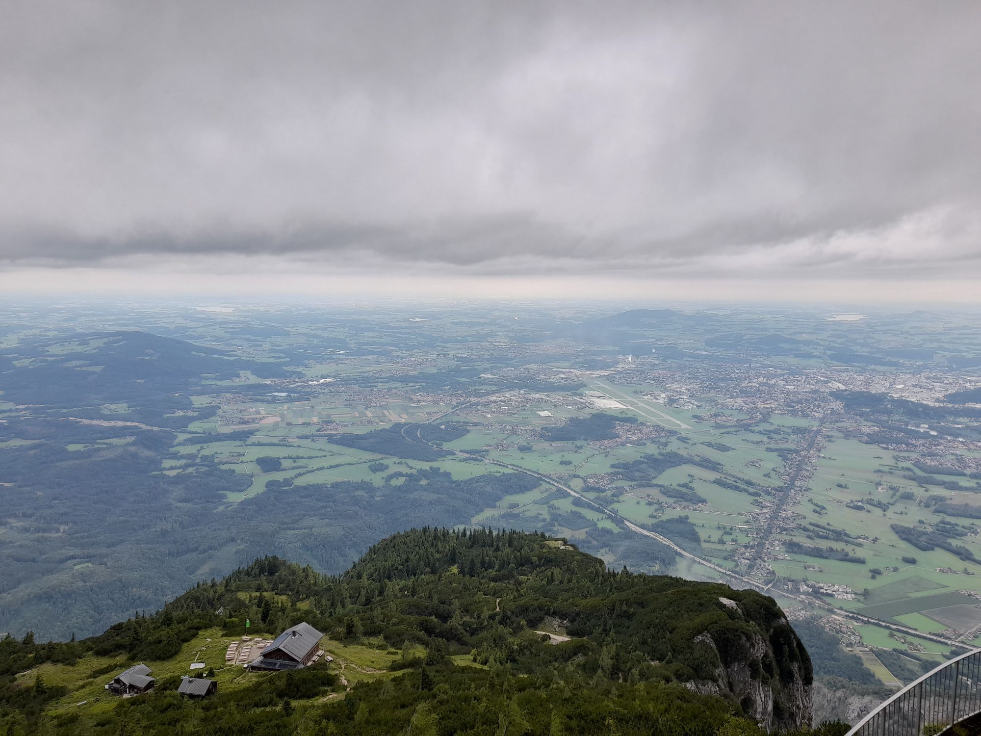
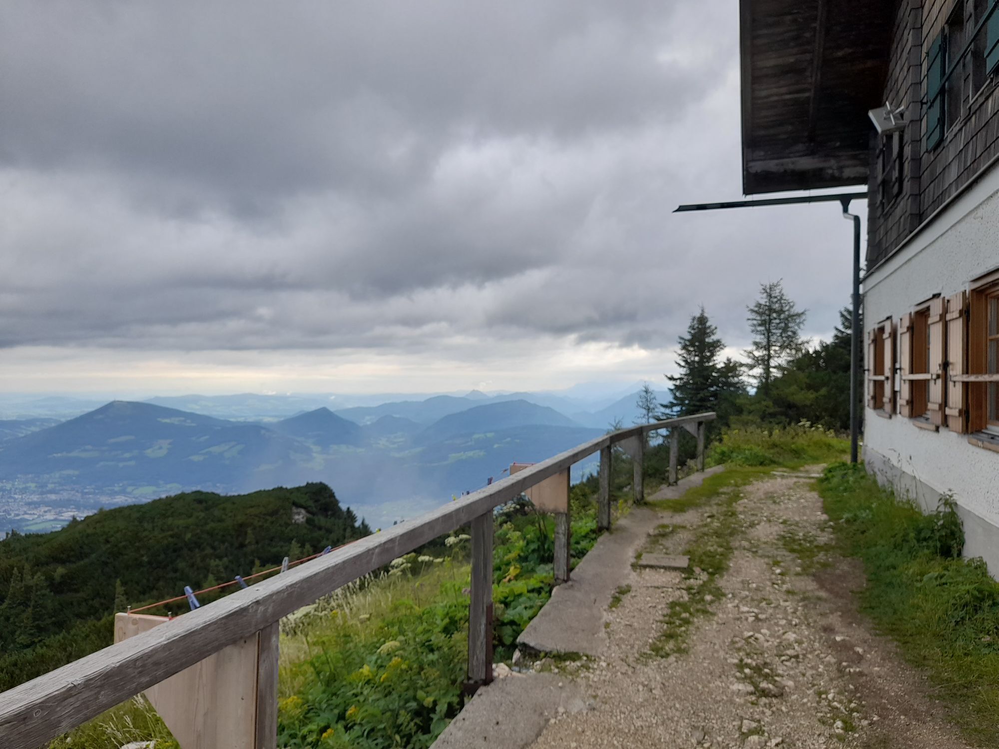
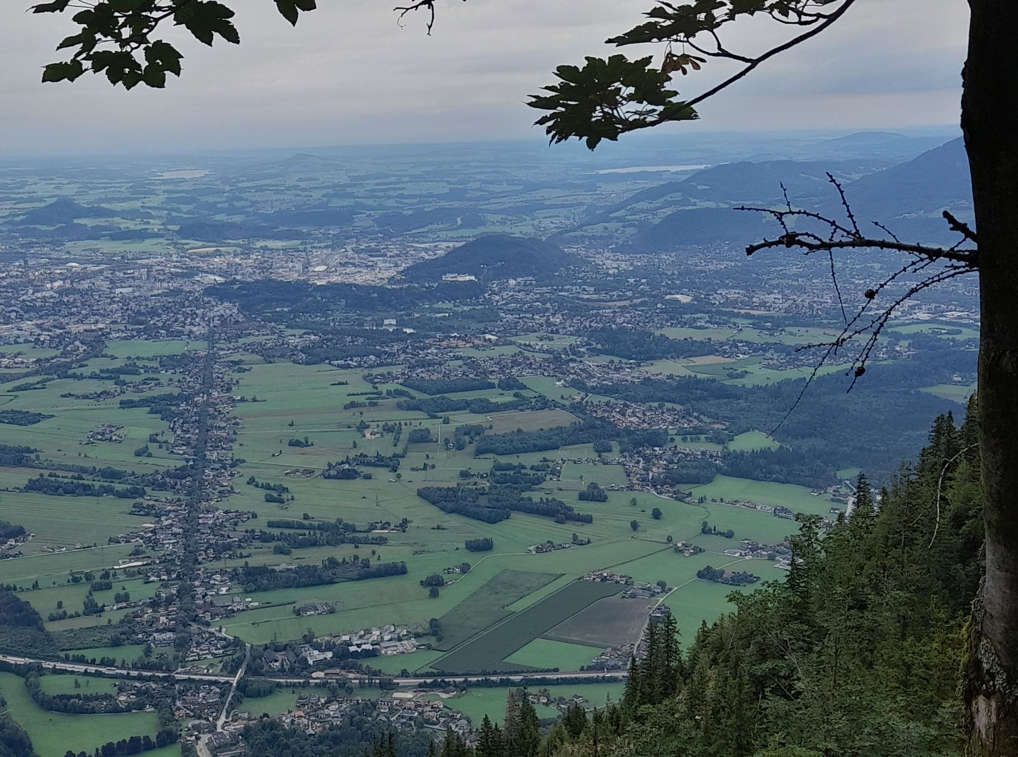
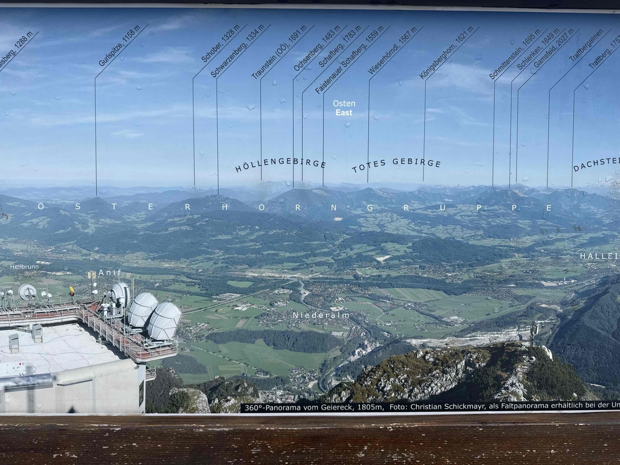
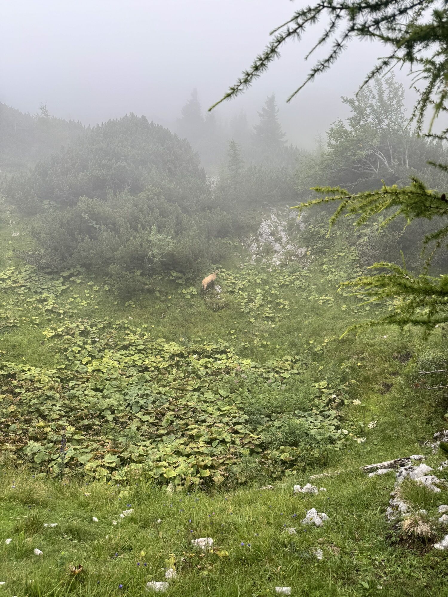
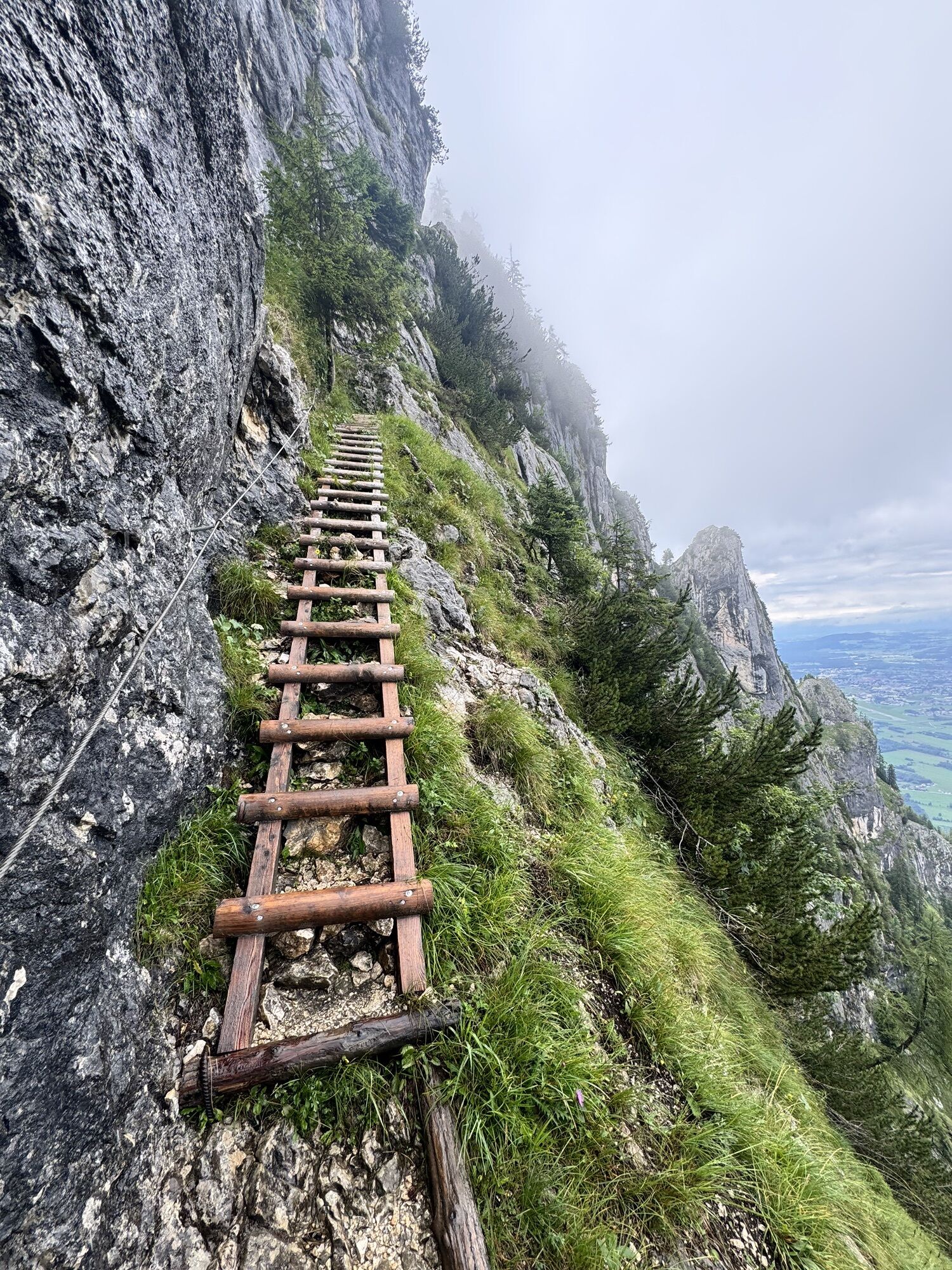
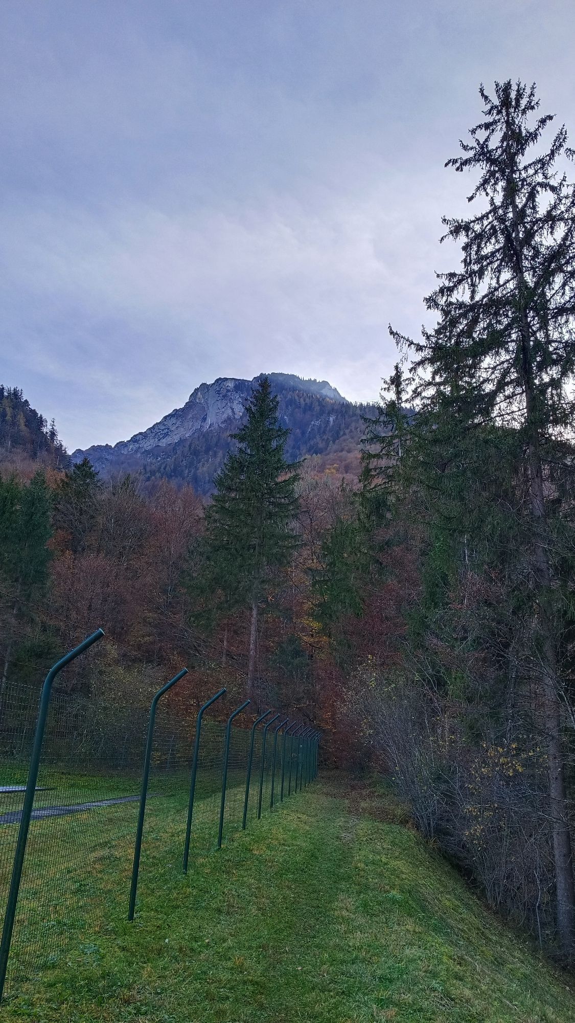
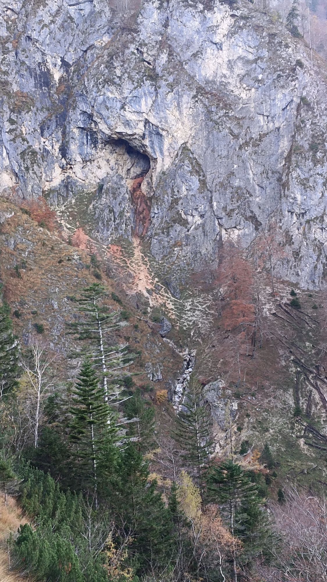
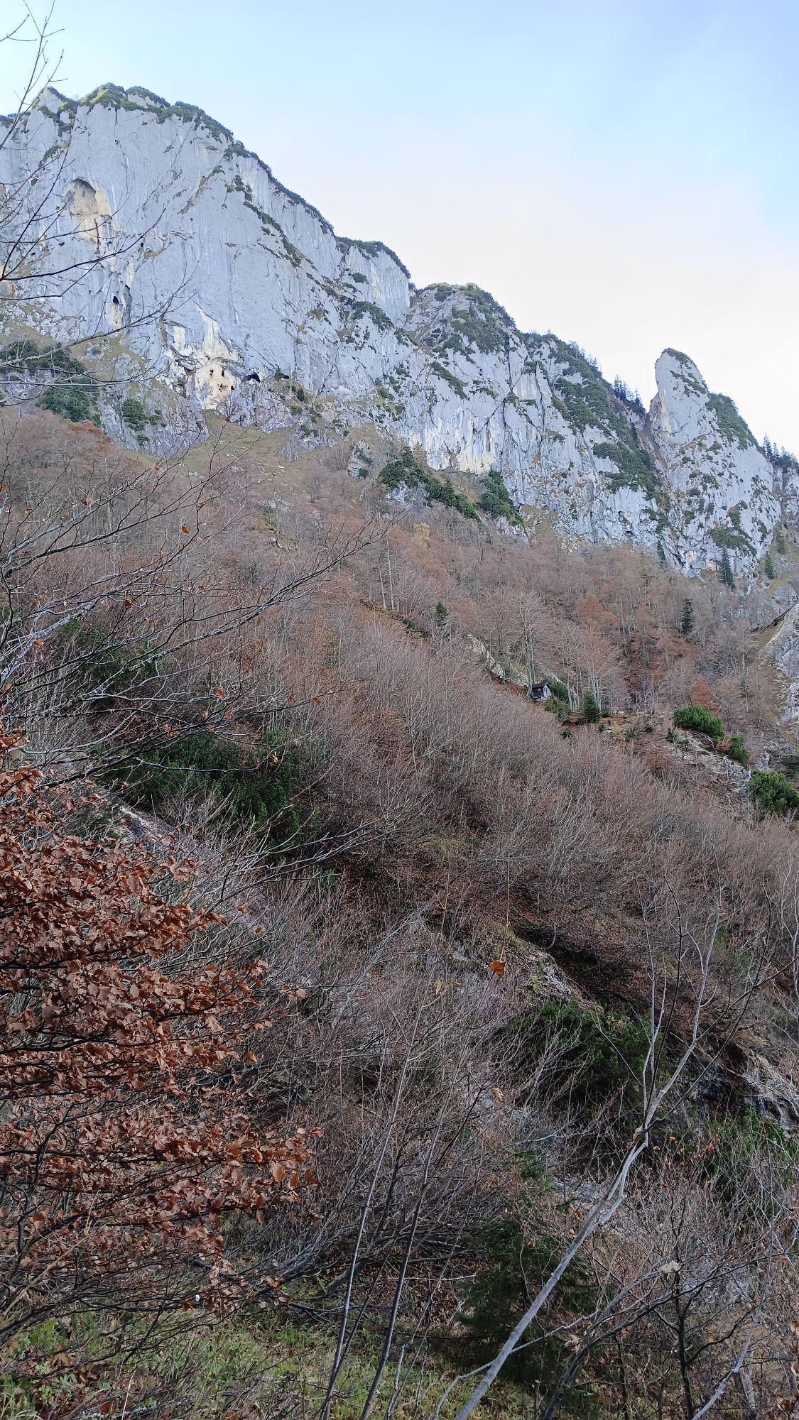
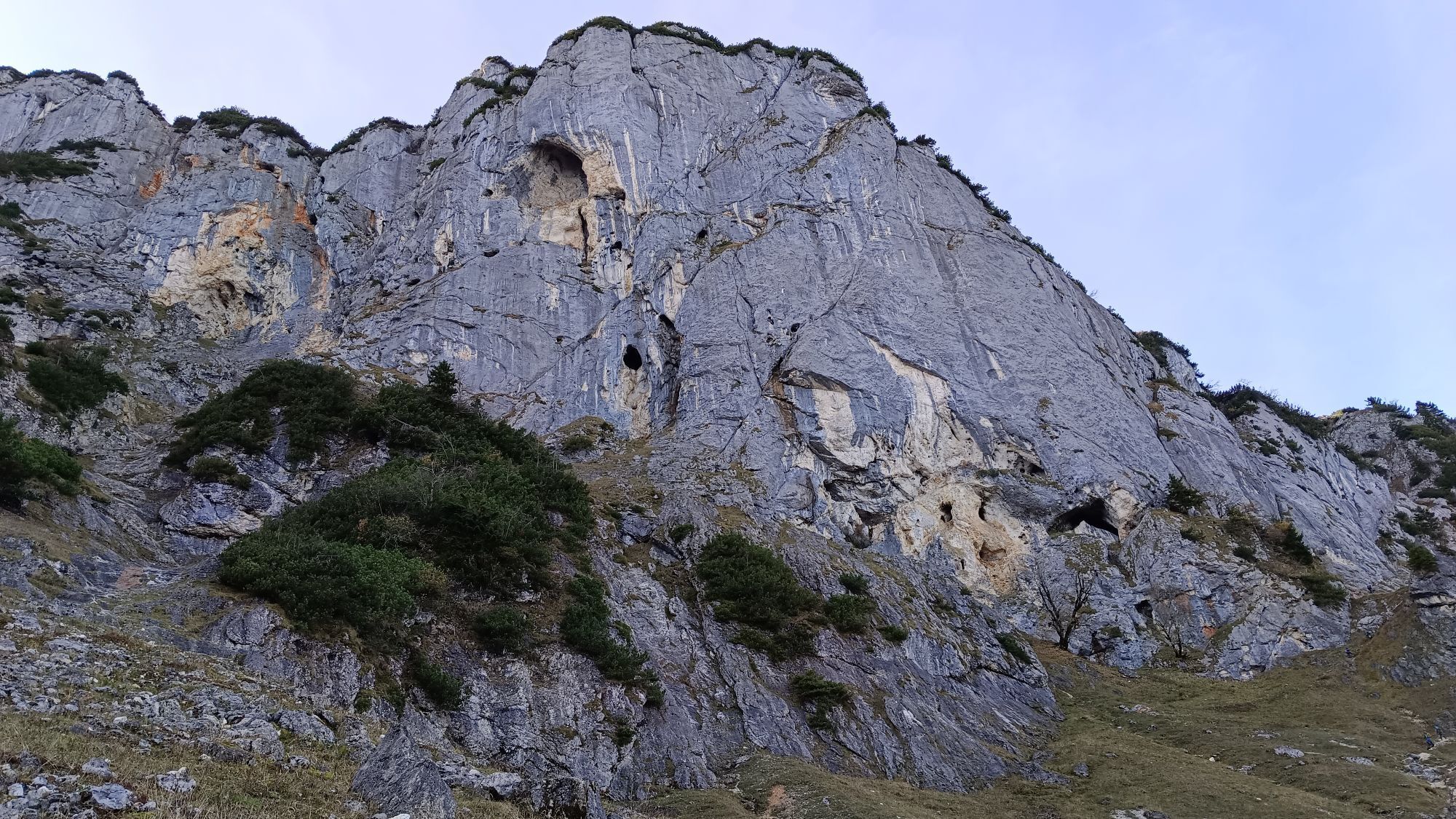
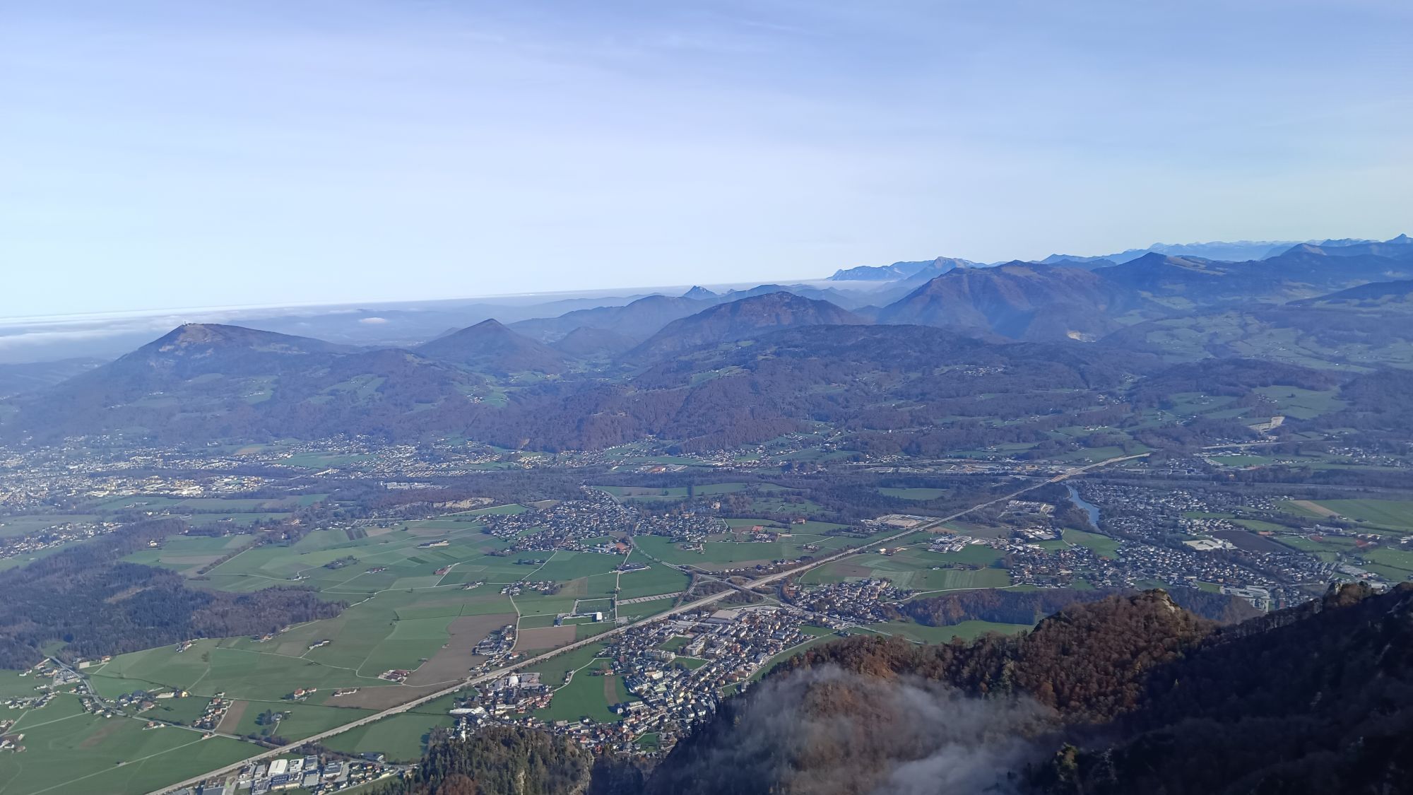
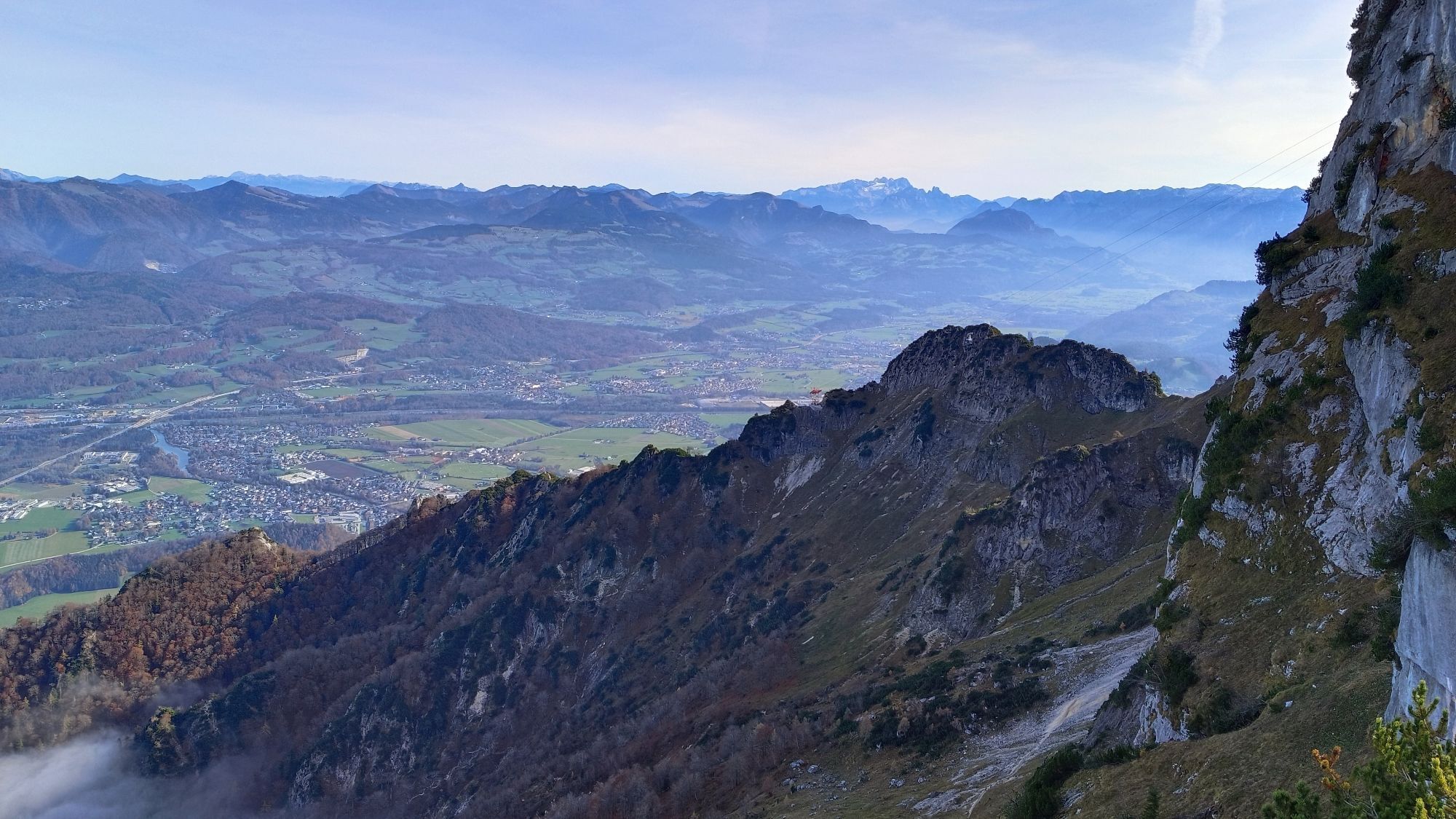
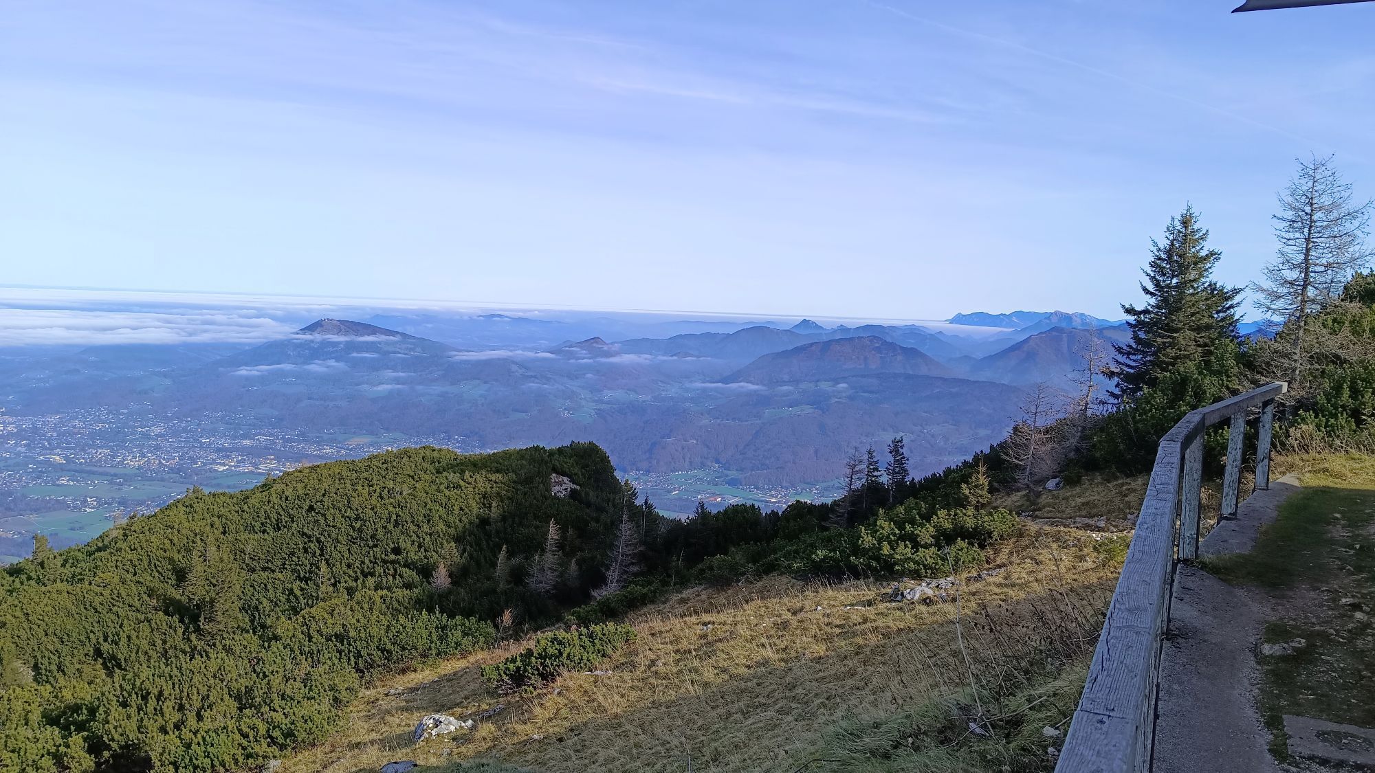
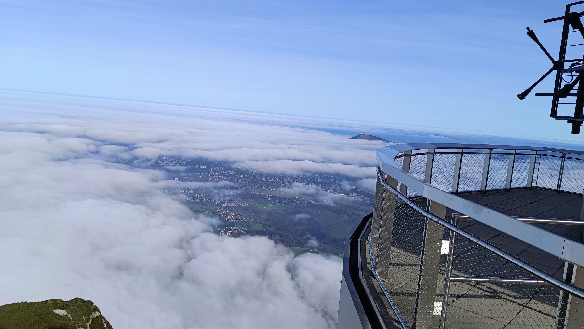
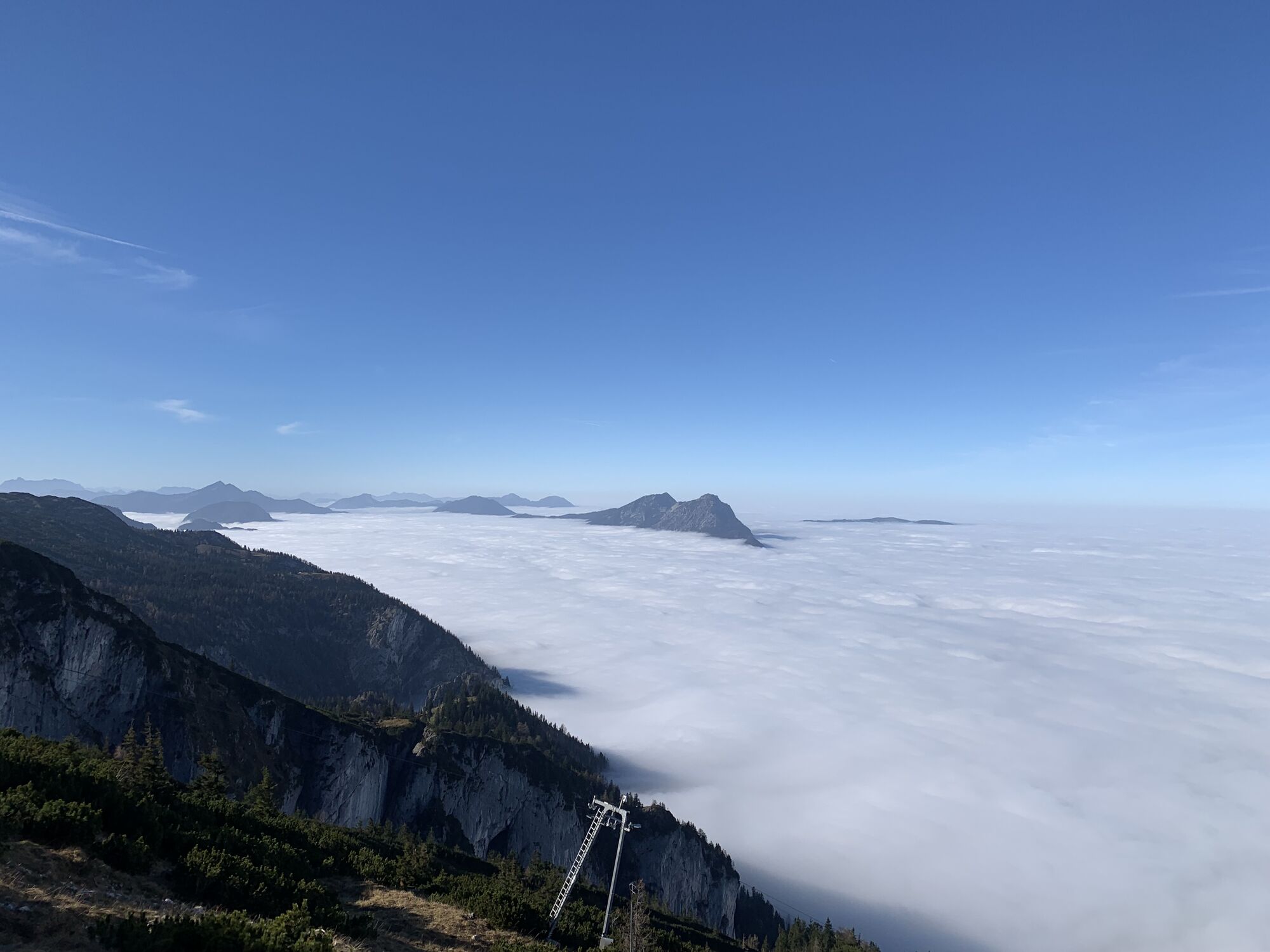
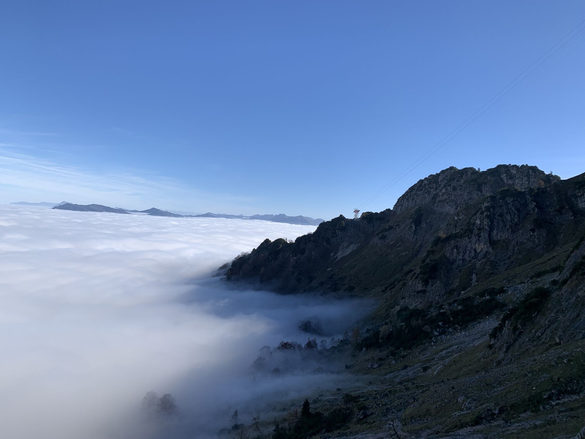
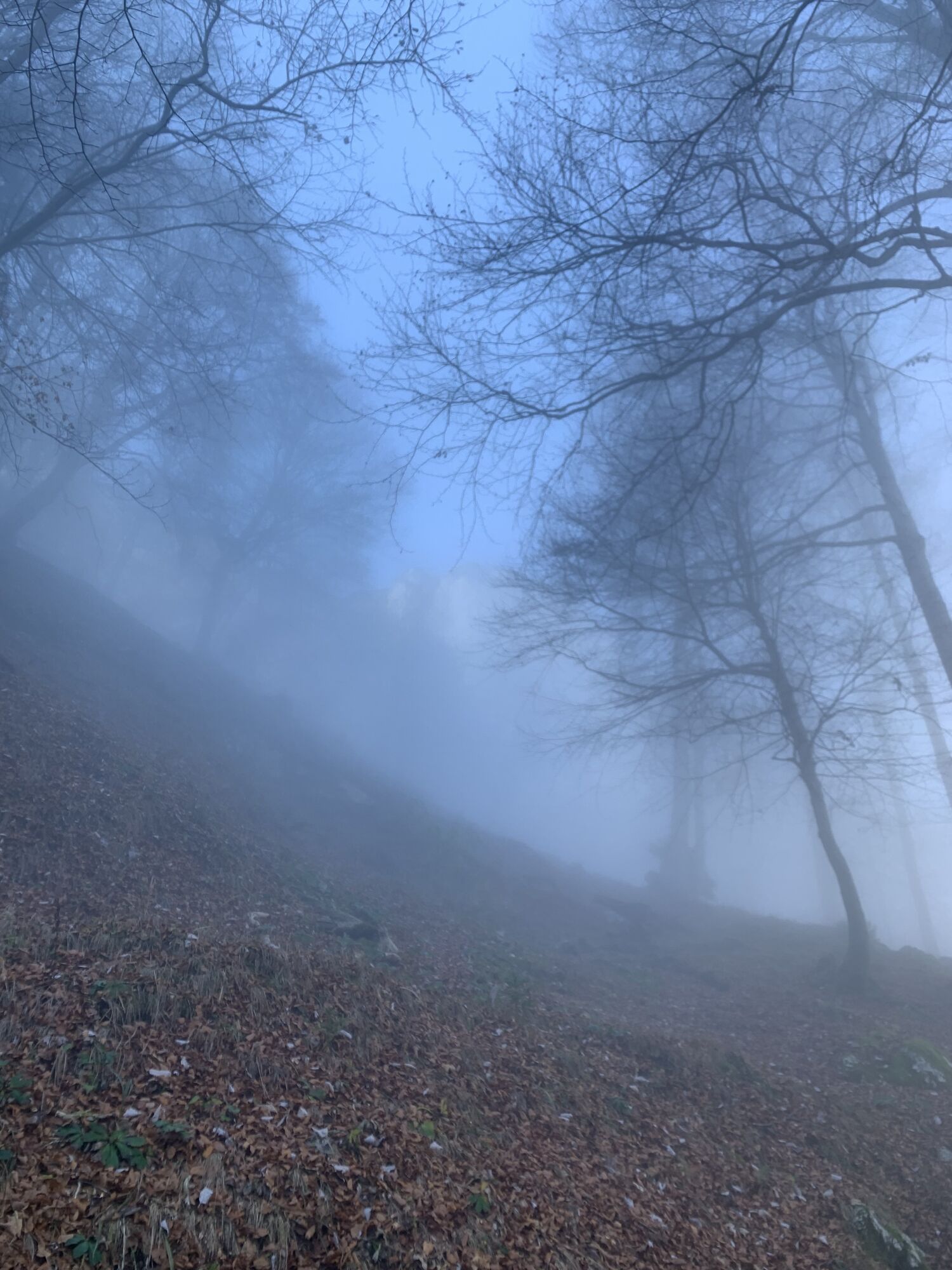
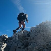
Photos from our users
-
 © Wolfgang SchönCreated on 18.08.2022
 -
 © Meinrad FögerCreated on 17.10.2025
 -
 © Karin JohnCreated on 22.09.2025
 -

 © ReginaStCreated on 07.09.2025
 -
 © ReginaStCreated on 07.09.2025
 -

 © Josef Piniel-HuberCreated on 26.08.2025
 -
 © Josef Piniel-HuberCreated on 26.08.2025
 -
 © Josef Piniel-HuberCreated on 26.08.2025
 -
 © Josef Piniel-HuberCreated on 26.08.2025
 -
 © Josef Piniel-HuberCreated on 26.08.2025
 -
 © Josef Piniel-HuberCreated on 26.08.2025
 -
 © Josef Piniel-HuberCreated on 26.08.2025
 -
 © Josef Piniel-HuberCreated on 26.08.2025
 -
 © Josef Piniel-HuberCreated on 26.08.2025
 -
 © Josef Piniel-HuberCreated on 26.08.2025
 -
 © Josef Piniel-HuberCreated on 26.08.2025
 -
 © Josef Piniel-HuberCreated on 26.08.2025
 -
 © Josef Piniel-HuberCreated on 26.08.2025
 -
 © GGFCreated on 04.08.2025
 -
 © GGFCreated on 04.08.2025
 -
 © GGFCreated on 04.08.2025
 -
 © GGFCreated on 04.08.2025
 -
 © GGFCreated on 04.08.2025
 -
 © GGFCreated on 04.08.2025
 -
 © christian roitingerCreated on 31.07.2025
 -
 © Miska MettäläCreated on 27.07.2025
 -
 © Miska MettäläCreated on 27.07.2025
 -
 © Miska MettäläCreated on 27.07.2025
 -
 © LiiinDACreated on 18.06.2025
 -
 © LiiinDACreated on 17.06.2025
 -

 © Róbert BaloghCreated on 03.11.2024
 -
 © Róbert BaloghCreated on 03.11.2024
 -
 © Róbert BaloghCreated on 03.11.2024
 -
 © Róbert BaloghCreated on 03.11.2024
 -
 © Róbert BaloghCreated on 03.11.2024
 -
 © Róbert BaloghCreated on 03.11.2024
 -
 © Róbert BaloghCreated on 03.11.2024
 -
 © Róbert BaloghCreated on 03.11.2024
 -
 © Róbert BaloghCreated on 03.11.2024
 -
 © Róbert BaloghCreated on 03.11.2024
 -
 © Róbert BaloghCreated on 03.11.2024
 -
 © Rohit BistCreated on 02.11.2024
 -
 © Rohit BistCreated on 02.11.2024
 -
 © Rohit BistCreated on 02.11.2024
 -
 © Rohit BistCreated on 02.11.2024
 -
 © Rohit BistCreated on 02.11.2024
 -
 © Rohit BistCreated on 02.11.2024
 -
 © Rohit BistCreated on 02.11.2024


No reviews yet
Popular tours in the neighbourhood
-
4,3
Staufen-Bergtour
mediumPješačenje 14,1 km -
4,7
Reitsteig - Dopplersteig Runde_Untersberg
mediumPuna brzina 9,89 km -
4,2
Hike to the Kleiner Barmstein via the Thürndl ruin
mediumPješačenje 4,20 km -
3,7
Durch die Almbachklamm nach Ettenberg
Pješačenje 7,54 km -
5,0
Untersberg (Salzburger Hochthron)
mediumPješačenje 11,8 km -
3,9
From Kaltenhausen to the Großer Barmstein (10 points)
mediumPješačenje 4,26 km -
4,0
From Latschenwirt over Tannenwinkel to Wolfschwang
lightPješačenje 5,55 km -
3,8
UNTERSBERG: Salzburger Hochtrohn (1852m)
mediumPješačenje 11,2 km -
4,6
Untersberg Bahn - Salzburger Hochthron - Berchstendgadener Hochthron
mediumPješačenje 11,2 km -
2,8
Almerlebnisweg Ramsau
Pješačenje 11,8 km

bergfex Tours

Over 550.000 tour suggestions, detailed maps and an intuitive route planner make the app a must-have for all nature enthusiasts.

Ne propustite ponude i inspiraciju za vaš sljedeći odmor
Subscribe to the newsletter
Error
An error has occurred. Please try again.
Thank you for your registration
Your e-mail address has been added to the mailing list.
Tours throughout Europe
Austrija
Švicarska
Njemačka
Italija
Slovenija
Francuska
Nizozemska
Belgija
Poljska
Lihtenštajn
Češka
Slovačka
Španija
Hrvatska
Bosna i Hercegovina
Luksemburg
Andora
Portugal
Island
Ujedinjeno Kraljevstvo
Irska
Grčka
Albanija
Sjeverna Makedonija
Malta
Norveška
Crna Gora
Moldova
Kosovo
Mađarska
San Marino
Rumunjska
Estonija
Latvija
Bjelorusija
Cipar
Litva
Srbija
Bugarska
Monako
Danska
Švedska
Finska