


Streckenlänge: 51,8 km Strassenbelag: Asphalt Bergauf 112 hm Profil: sehr schwer Beschilderung: könnte besser sein Start in Wallsee am Hafen km 1 Donaukraftwerk km 3,8 Mitterkirchen km 13,5 Perg km 14,8...
Streckenlänge: 51,8 km
Strassenbelag: Asphalt
Bergauf 112 hm
Profil: sehr schwer
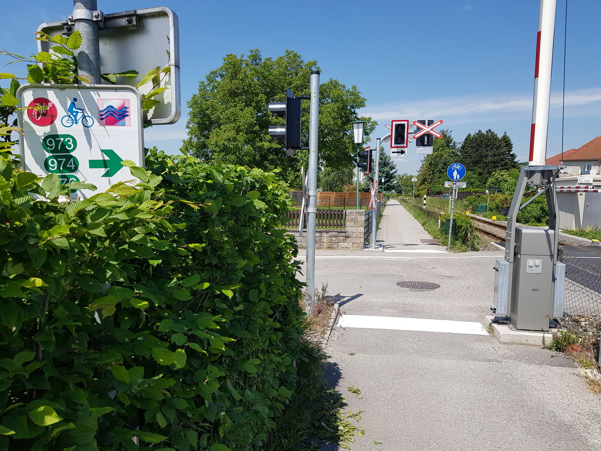
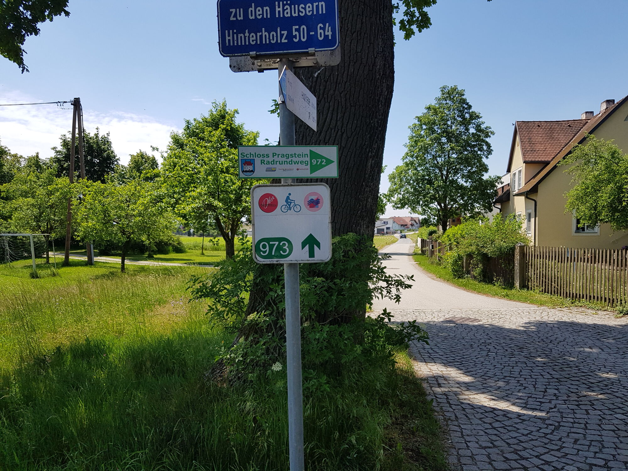
Beschilderung: könnte besser sein
Start in Wallsee am Hafen
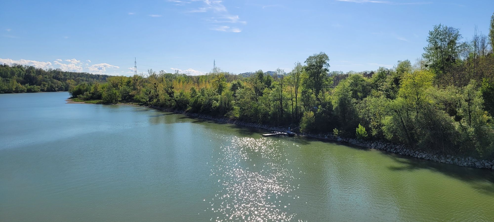
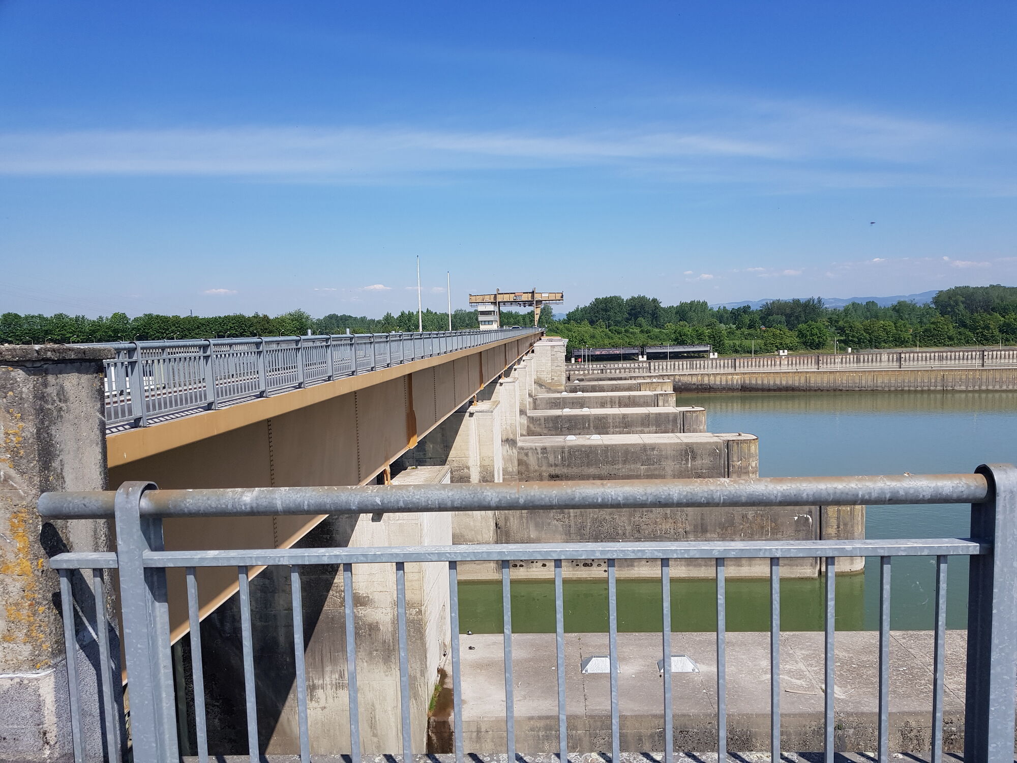
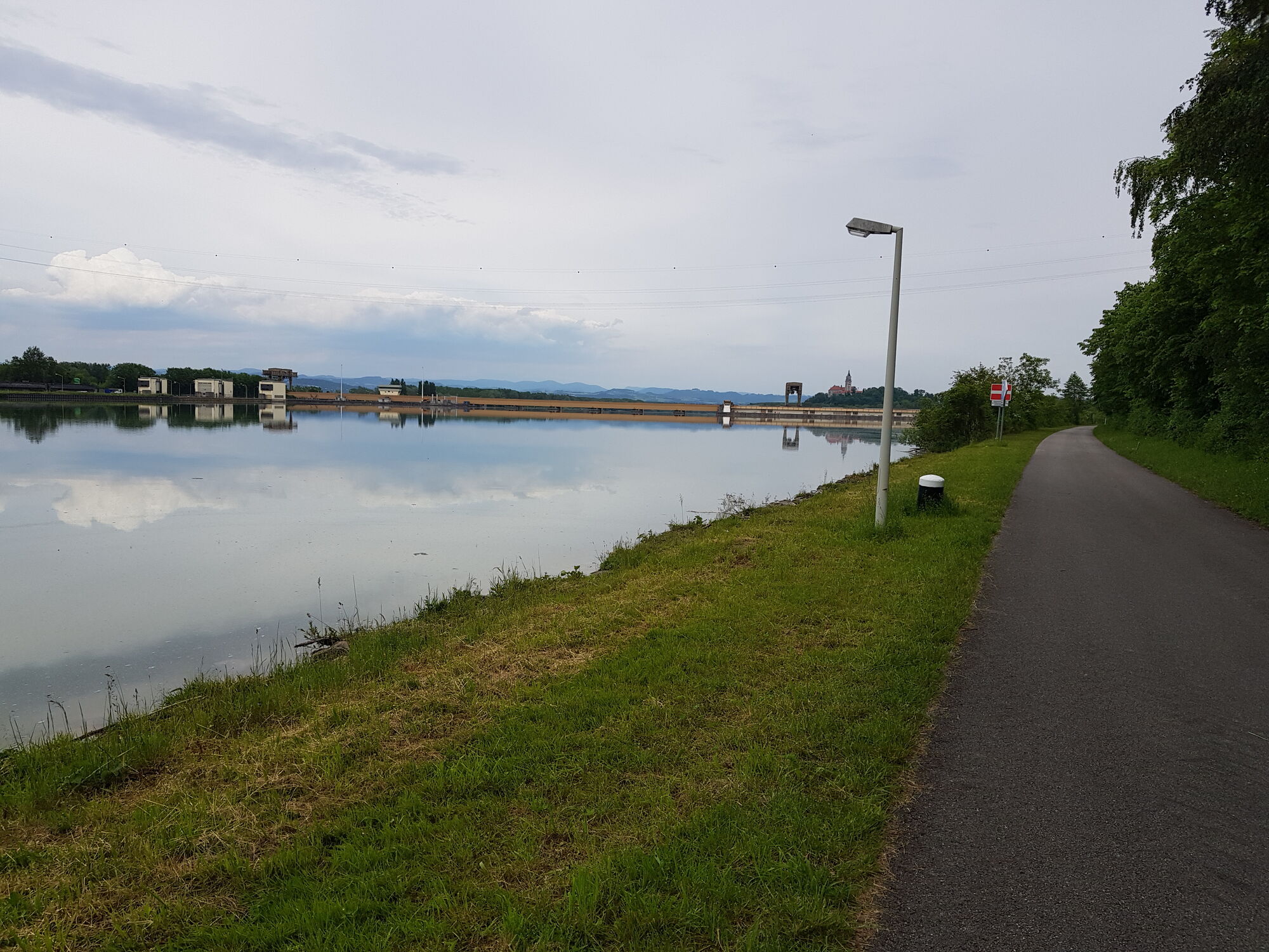
km 1 Donaukraftwerk
km 3,8 Mitterkirchen
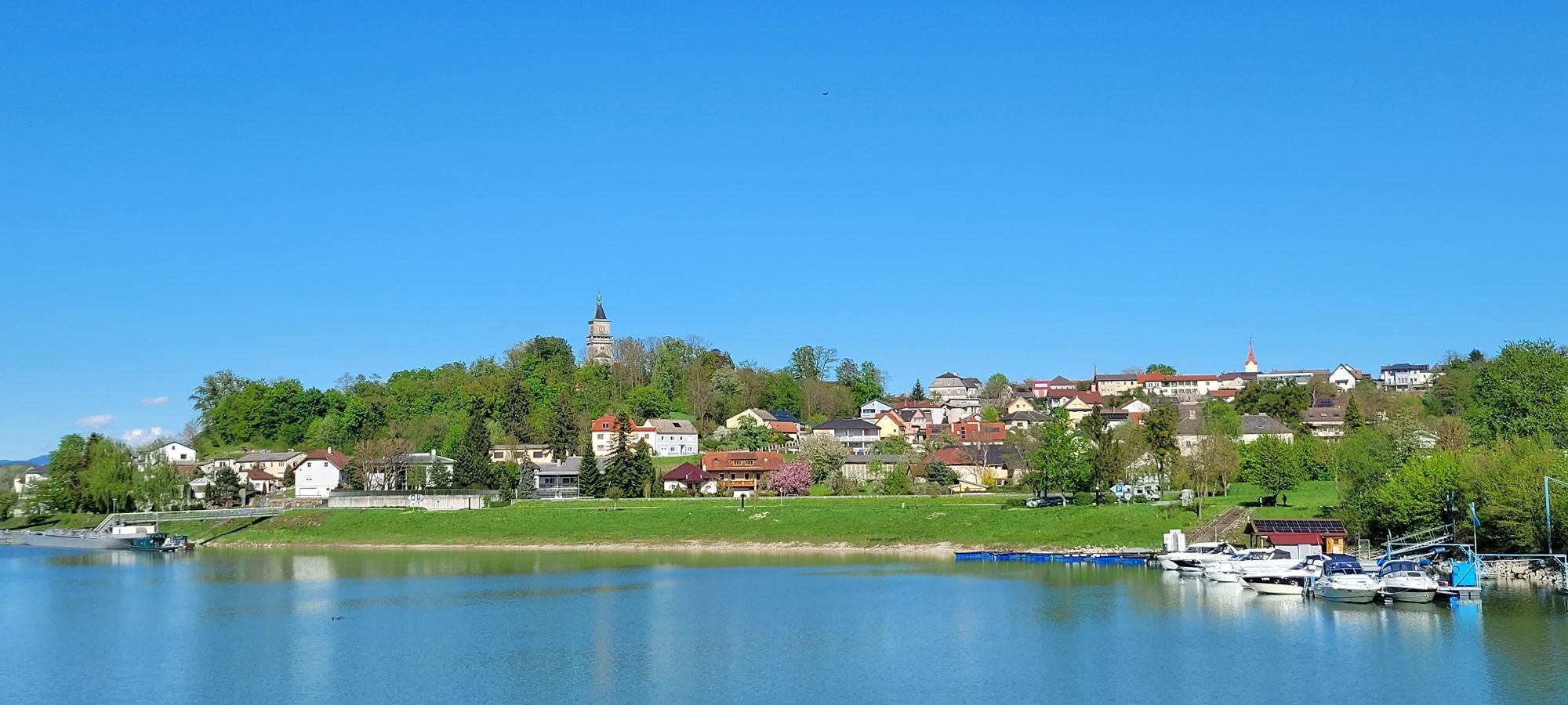
km 13,5 Perg
km 14,8 gerade weiter Schild zeigt an rechts abbiegen
km 17,9 Oberwagram
km 20,2 Aisthofen
km 20,3 links fahren kein Schild bin gerade weitergefahren
km 21 Schwertberg
km 24,4 Aisting/Hart
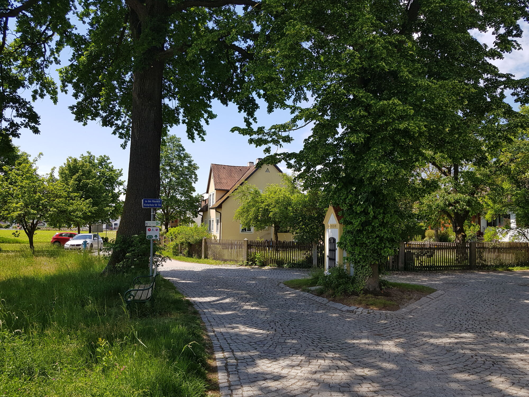
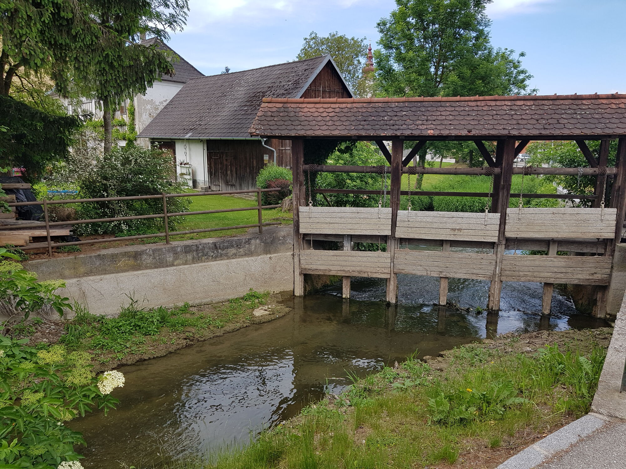
km 26,4 Hinterholz
km 27 Mauhausen
km 32,6 Pyburg
km 33,6 Albing
km 36,8 St.Pantaleon
km 38,5 Erla
km 51,8 Wallsee
Anschlussradweg
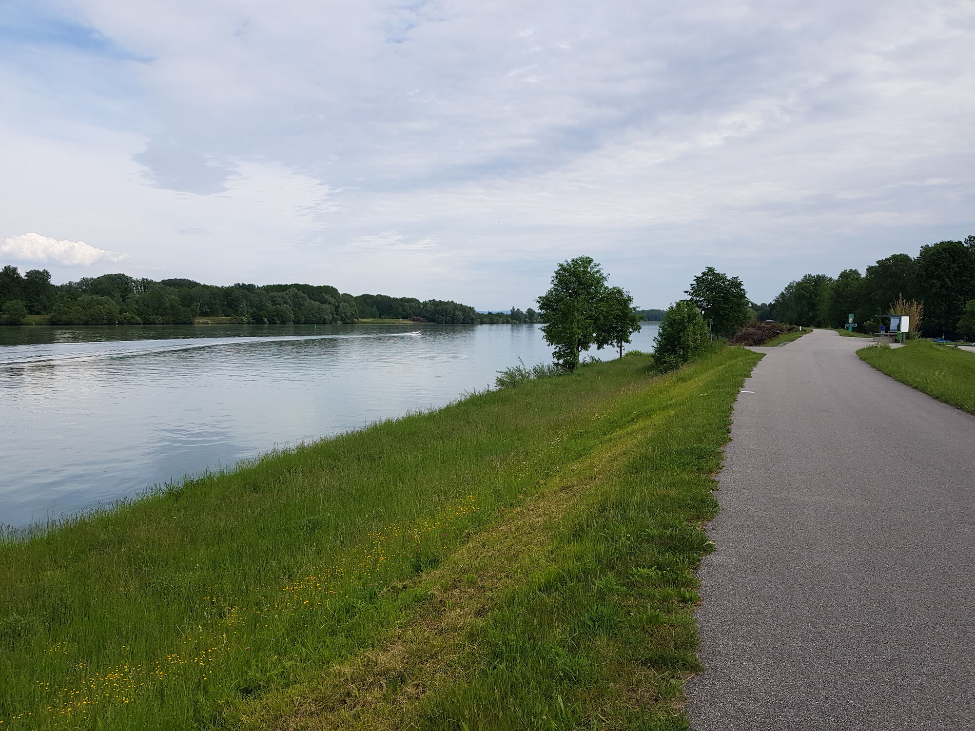
Donauradweg
Museumsweg
Keltenradtour
Strudengau-Radtour
Donautour Grein
Infos zur Region
www.donauregion.at
Sehenswertes/Ausflugziele
Keltendorf Mitterkirchen
Badesee Mitterkirchen
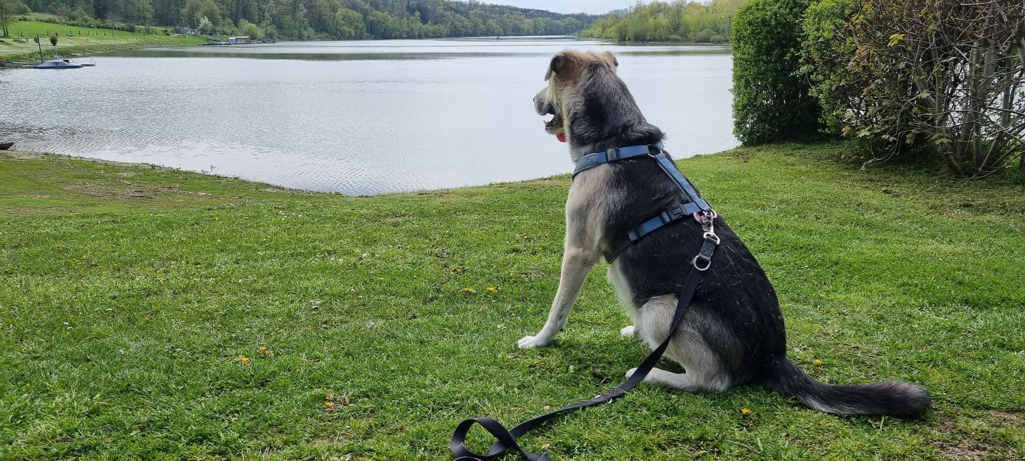
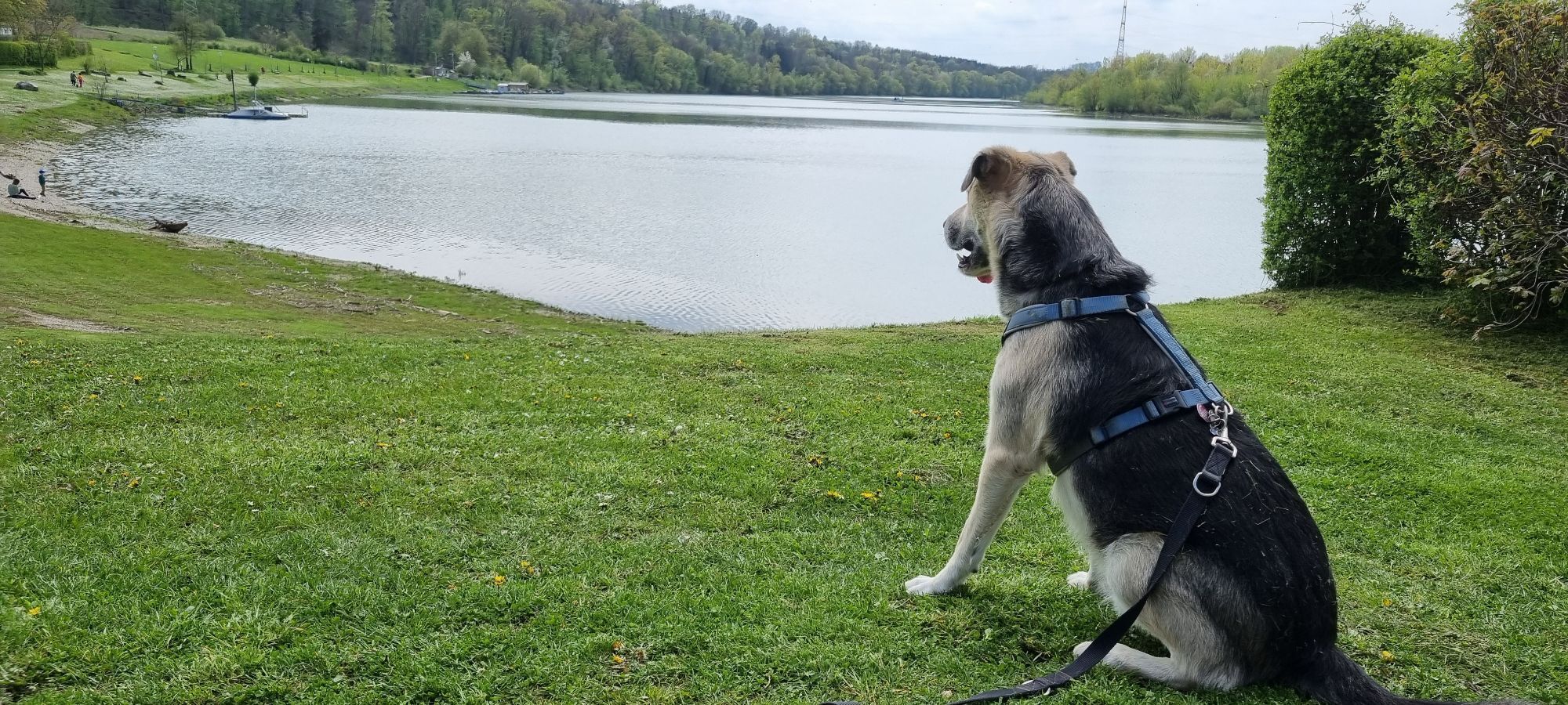
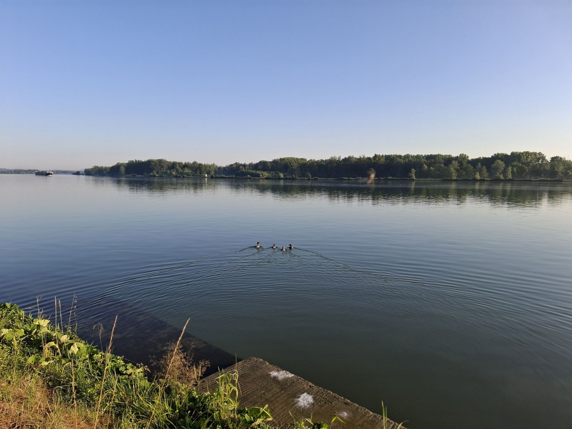
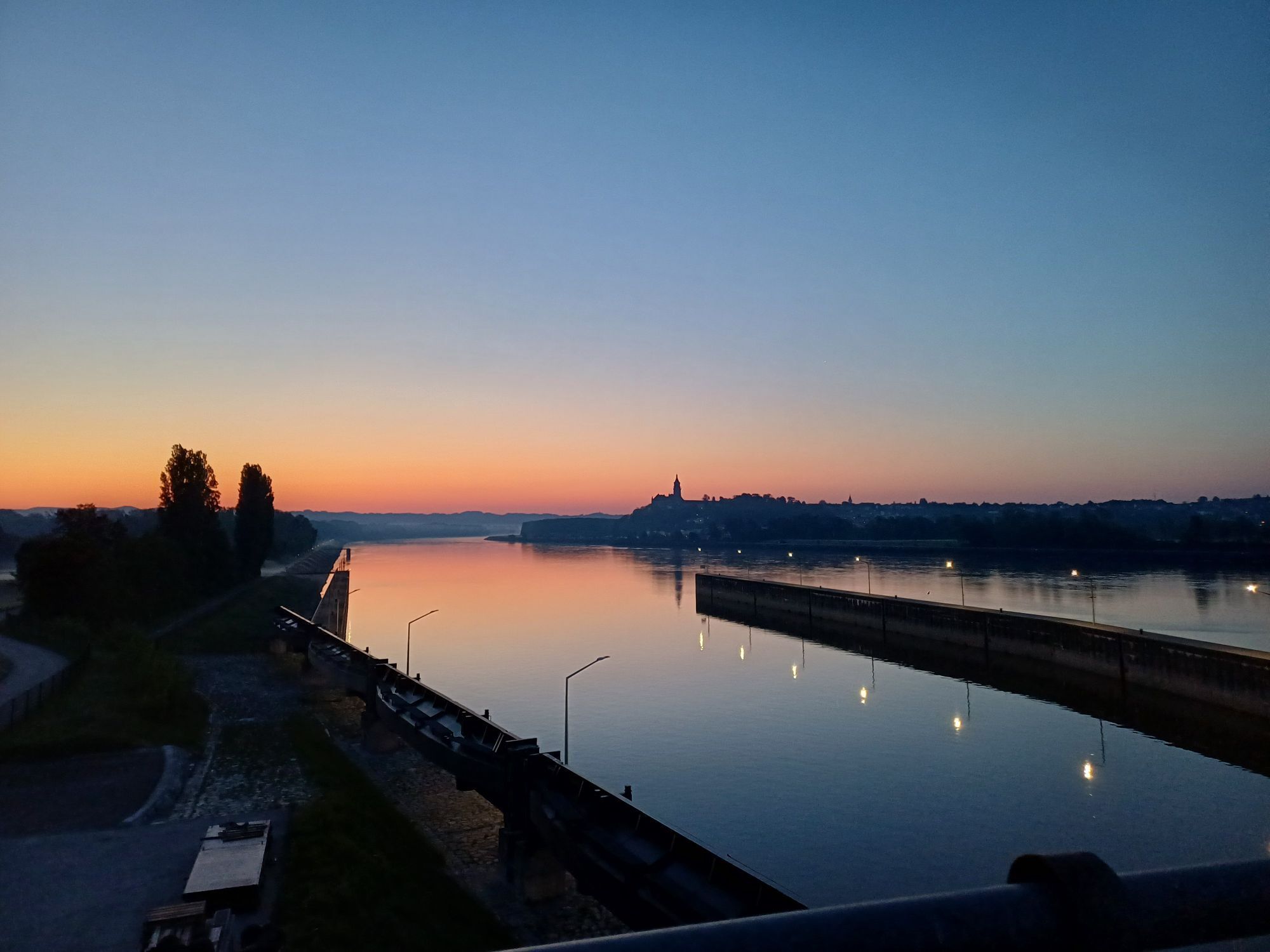
Strecke abgefahren mit dem Rad von Alfredo am 11. Juni 2020


Anreisekoordinaten
48.16620 14.70823
Popular tours in the neighbourhood
-
4,6
Schwertberg: Weltstoarunde
lightPješačenje 11,4 km -
4,8
Tragwein - Lebensquell-Runde
lightPješačenje 12,8 km -
4,1
Der Naturparkweg in Rechberg
mediumPješačenje 7,54 km -
4,5
Greisinghof (Tragwein) Wasserweg und zgl. Waldluftbaderundweg
lightPješačenje 6,67 km -
4,8
Burg Klam Rundweg
lightPješačenje 10,9 km -
Danube Cycle Path Stage 3 North Bank: Linz - Grein
lightMeđugradska biciklistička staza 60,4 km -
4,0
Tragwein - Panoramarunde
lightPješačenje 6,07 km -
5,0
Danube bike path stage 3 south bank: Linz - Ardagger
lightMeđugradska biciklistička staza 59,1 km -
4,3
R1.13 Alpenblick loop
mediumVozi bicikl 52,2 km -
4,5
R1.12 Weltstein Loop
mediumVozi bicikl 38,9 km
bergfex Tours


Ne propustite ponude i inspiraciju za vaš sljedeći odmor
Your e-mail address has been added to the mailing list.