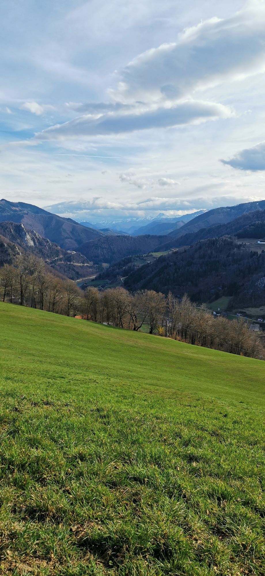
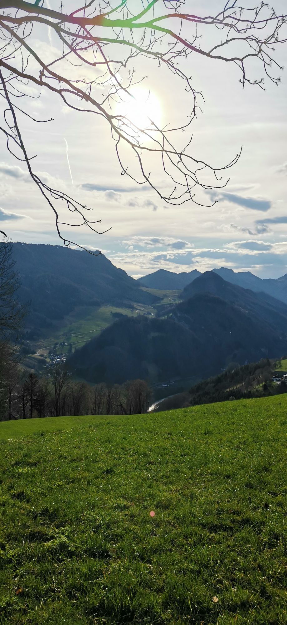
Sebaldusweg
Pješačenje
Navigate
Navigate
Get this tour on your mobile
Sebaldusweg
Pješačenje
84,00
km
Scan the QR code and start navigation in the bergfex app

Hiking & Tracking


Distance
84,00
km
Duration
09:35
h
Ascent
1.364
m
Sea level
386 -
880
m
Track download
Sebaldusweg
Pješačenje
84,00
km
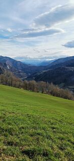
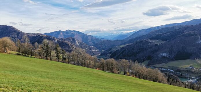
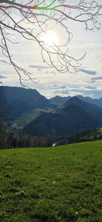
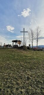
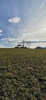
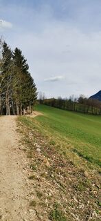
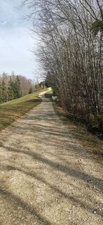
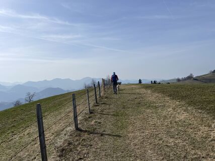
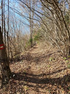
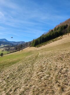
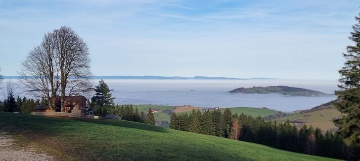
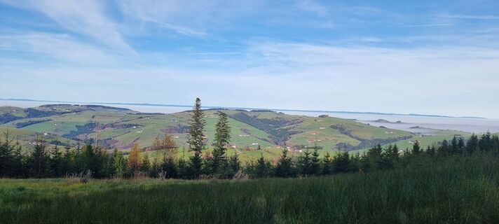
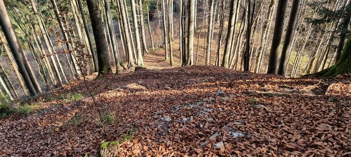
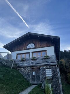
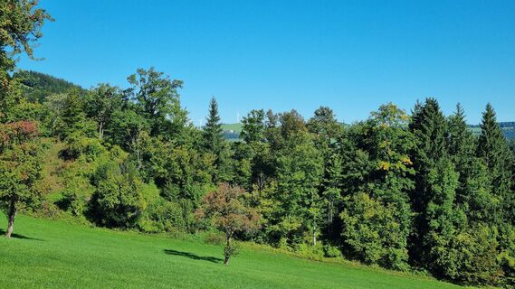
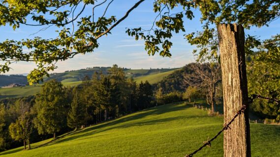
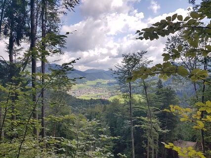
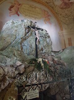
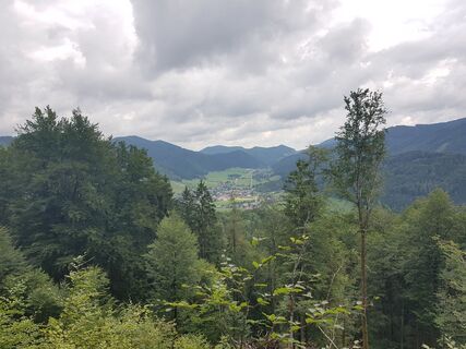
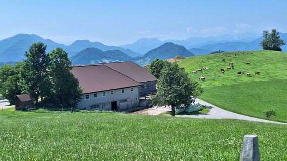
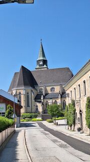
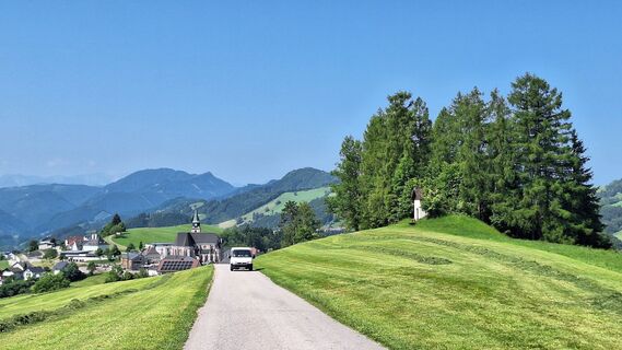
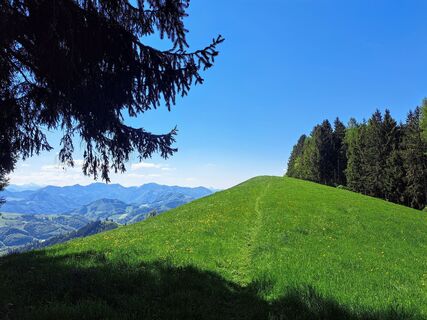
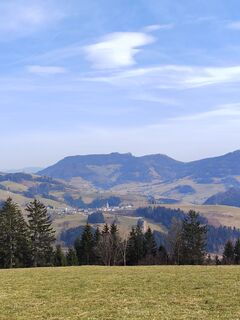
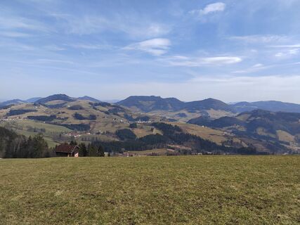
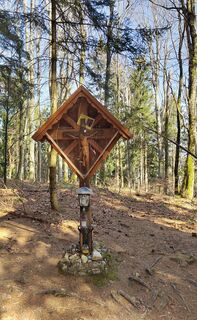
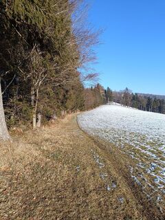
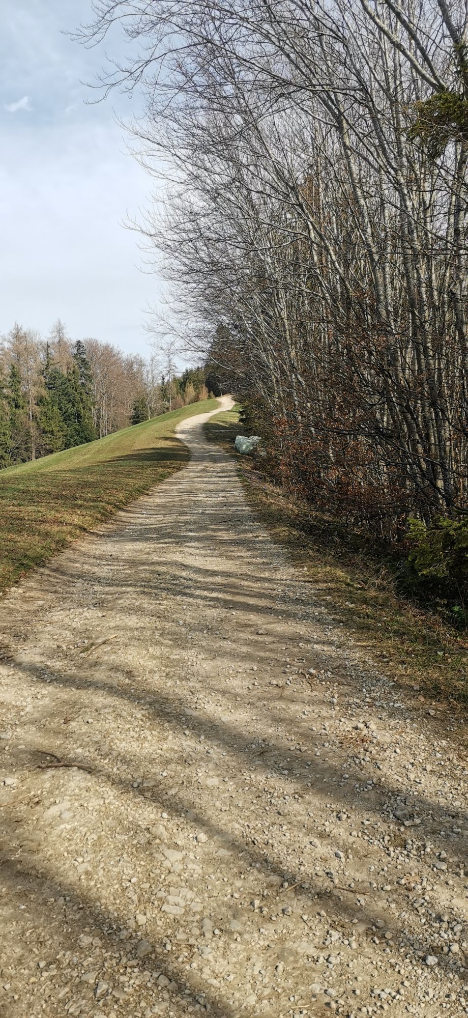
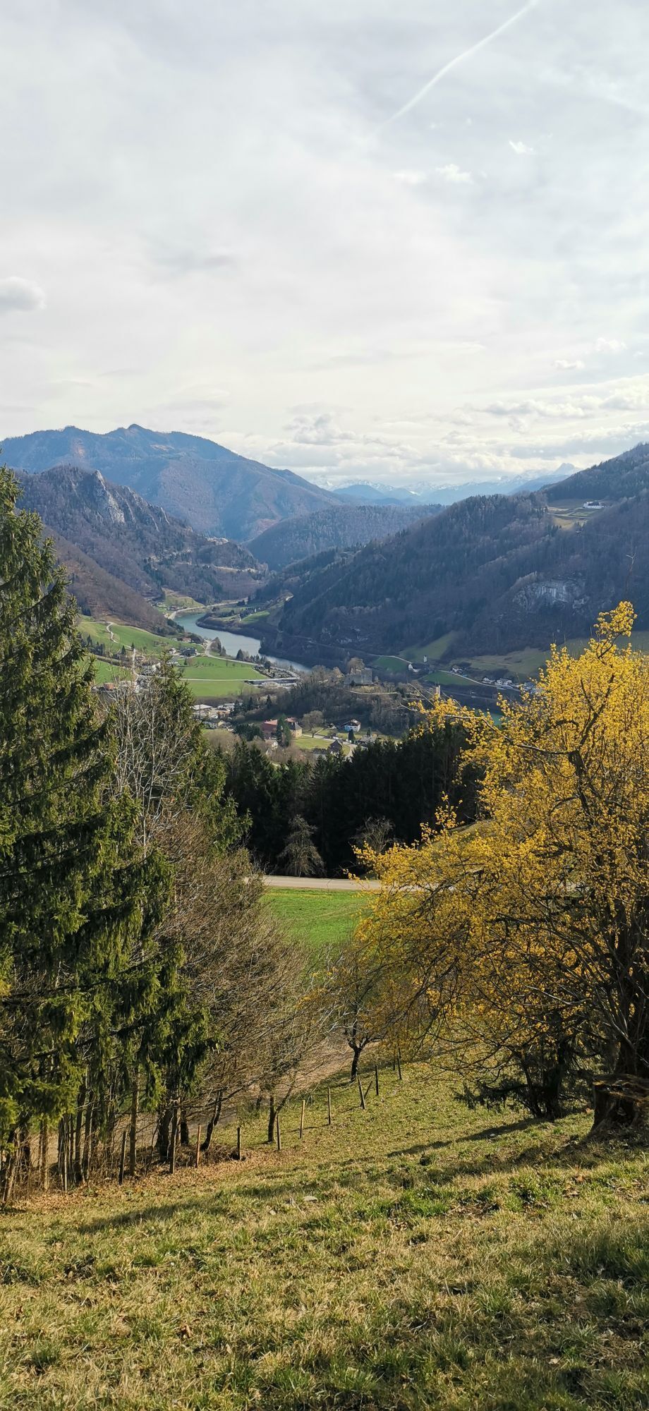
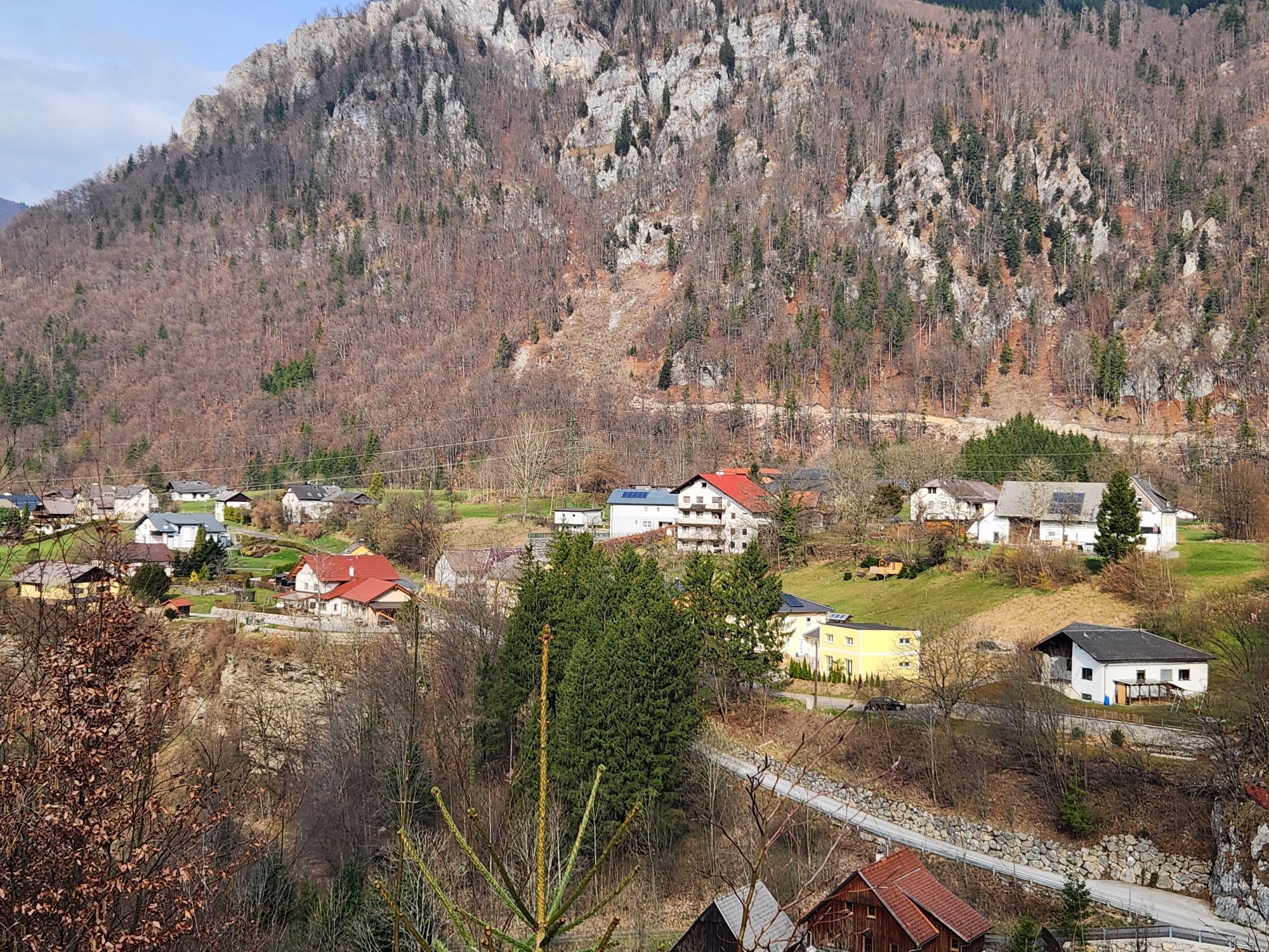
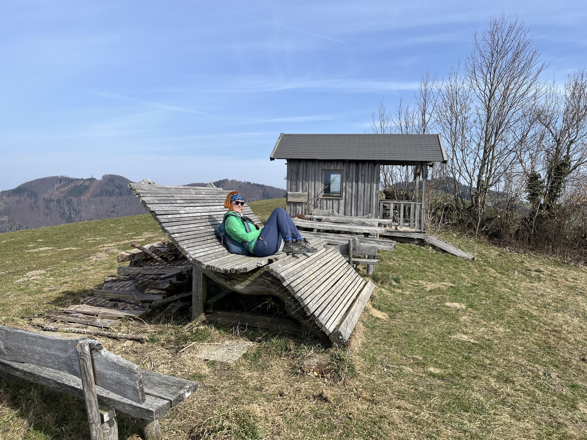
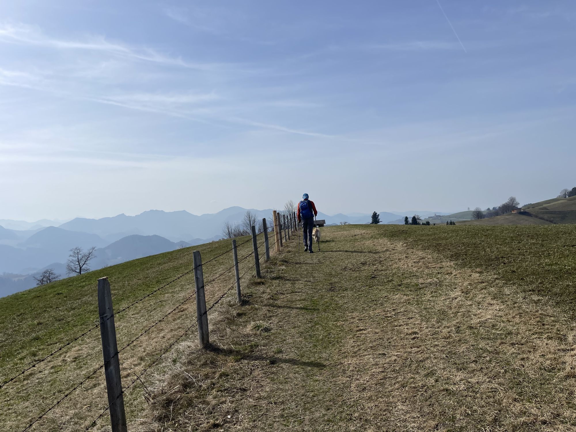
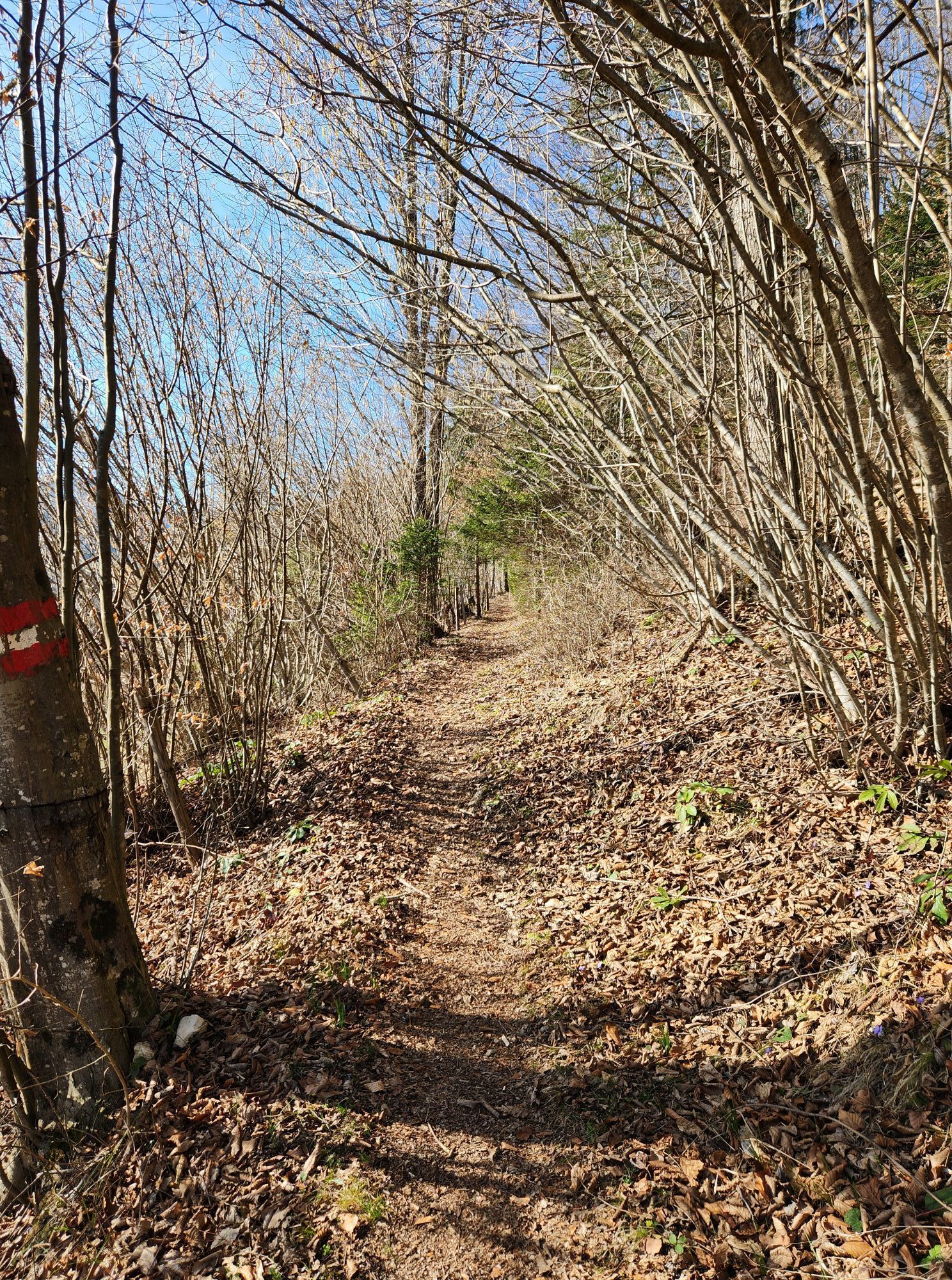
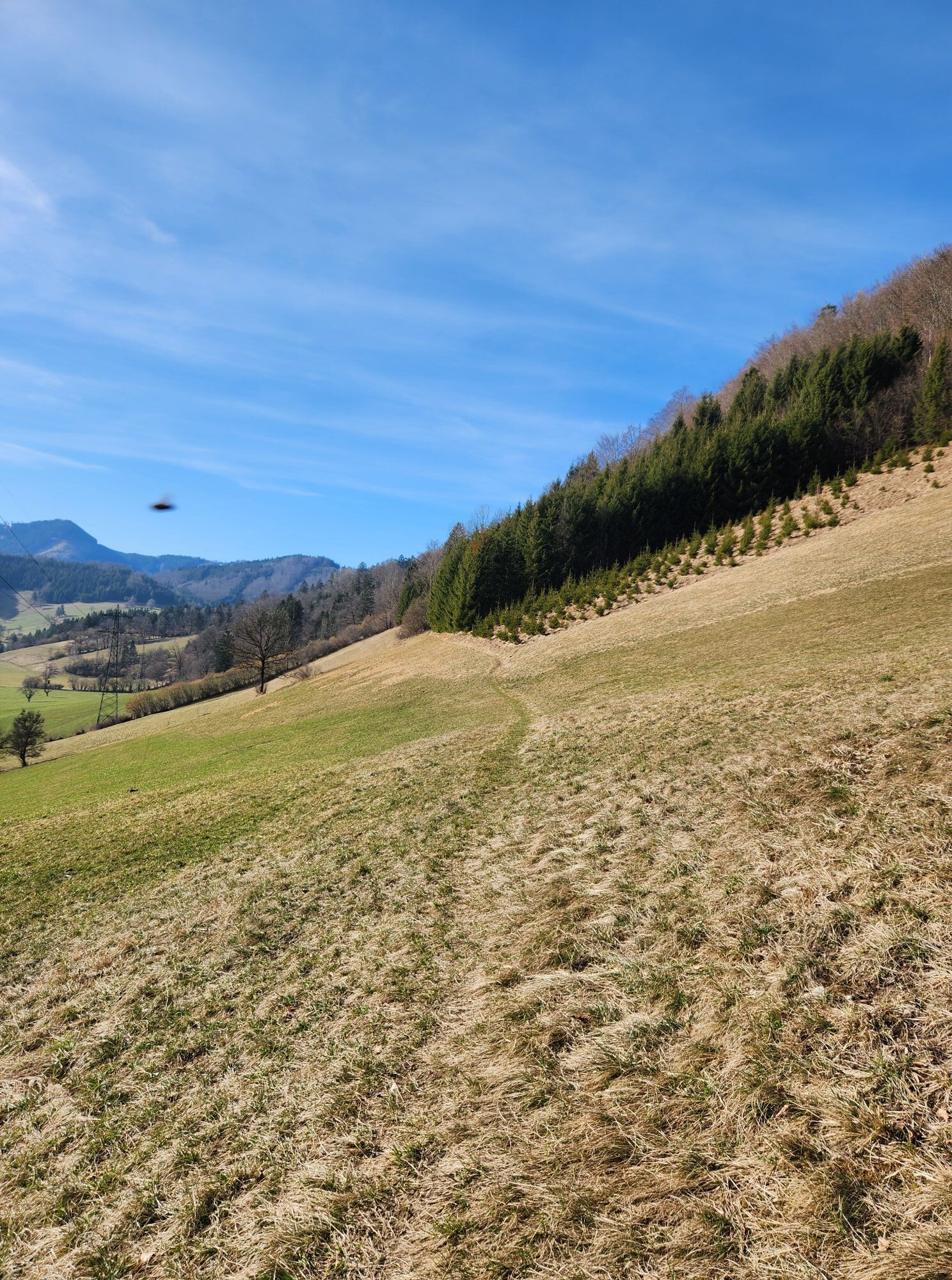
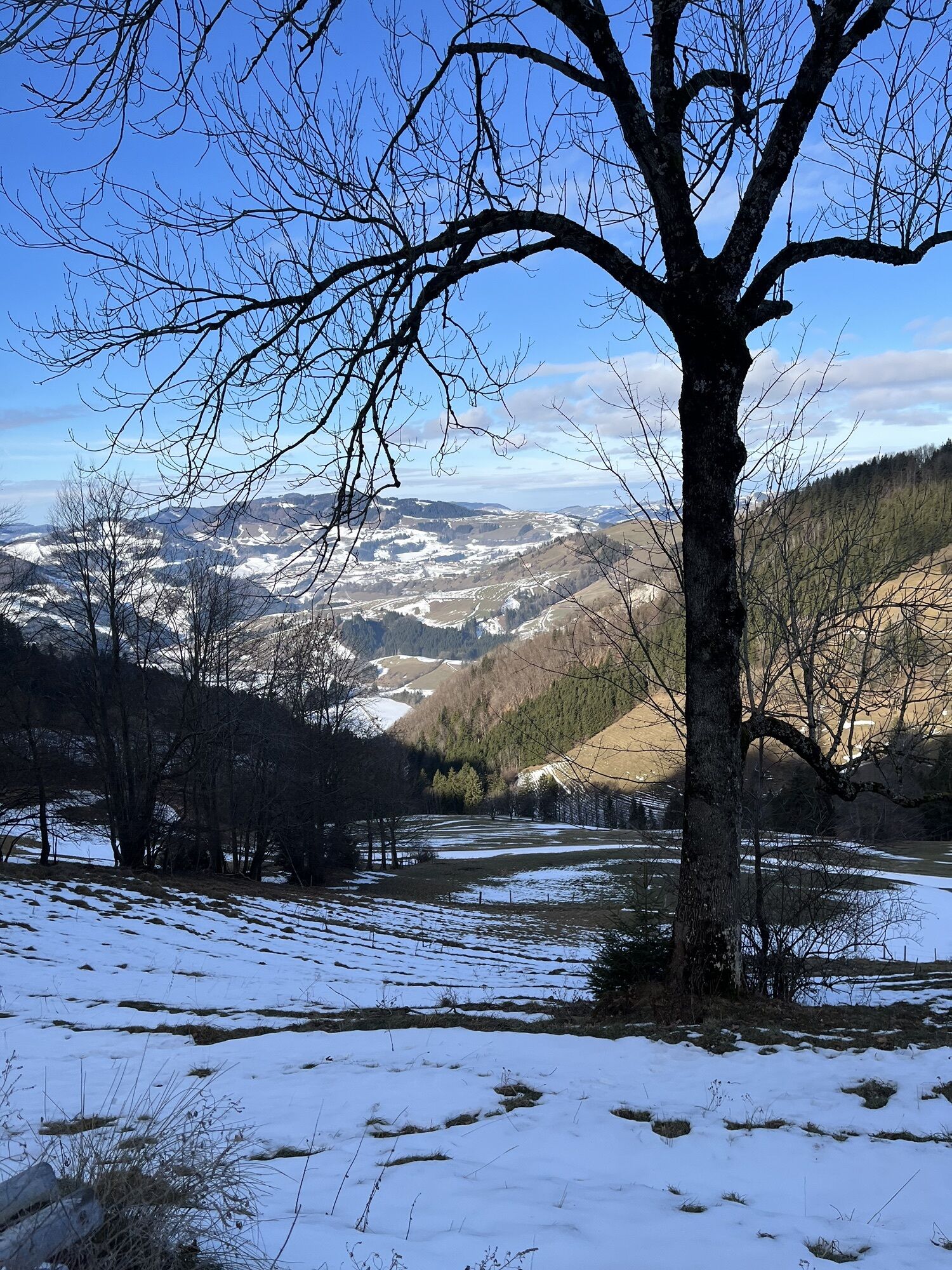
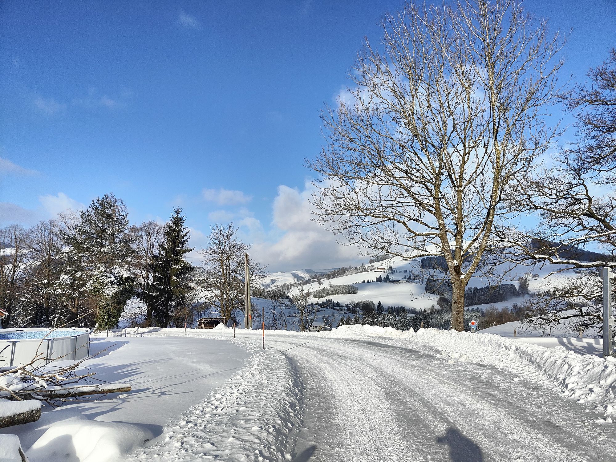
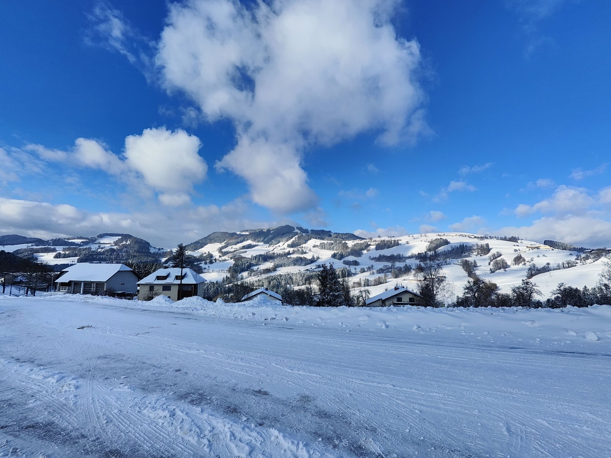
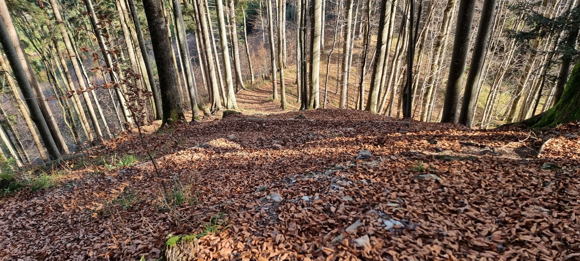
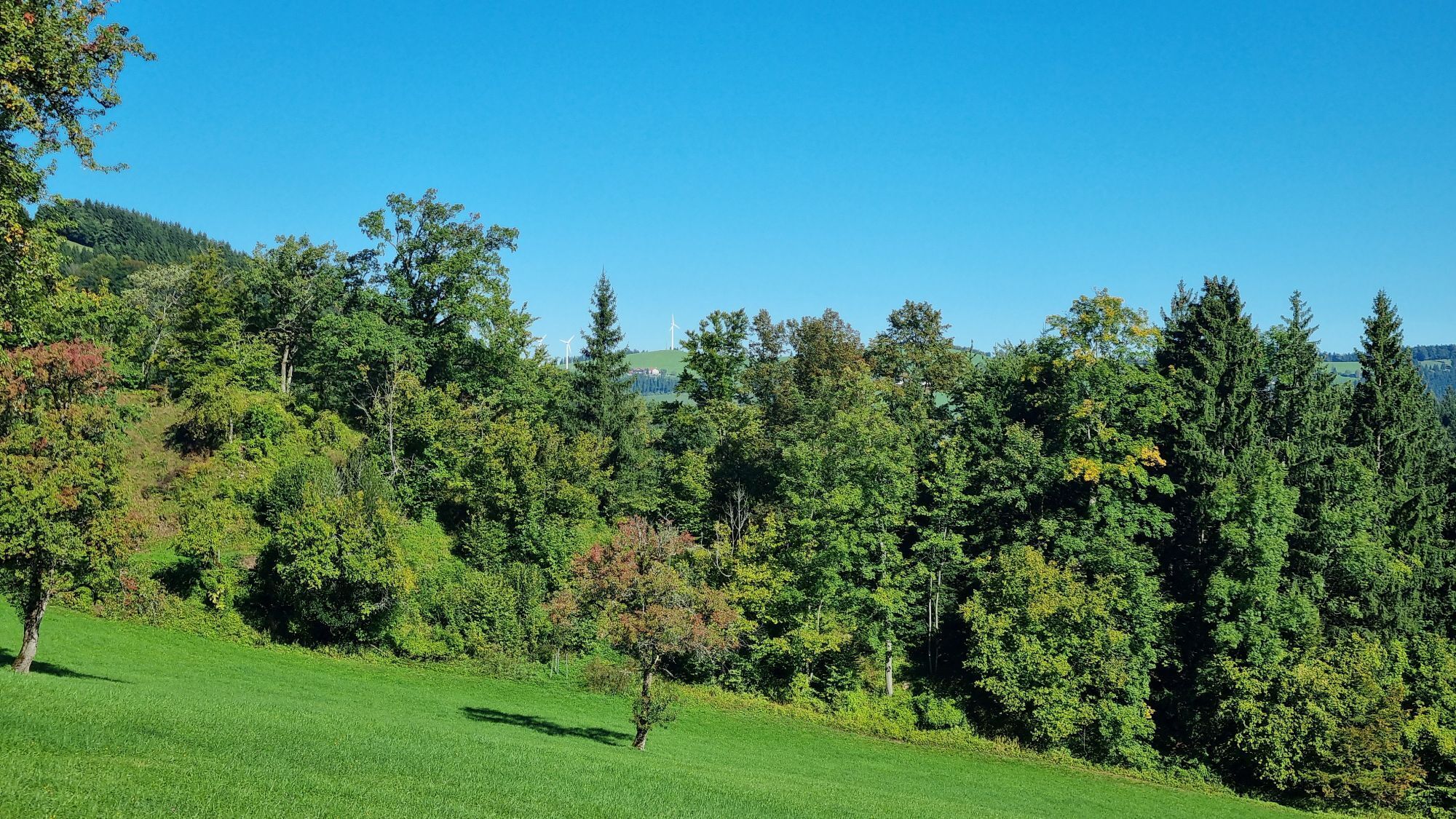
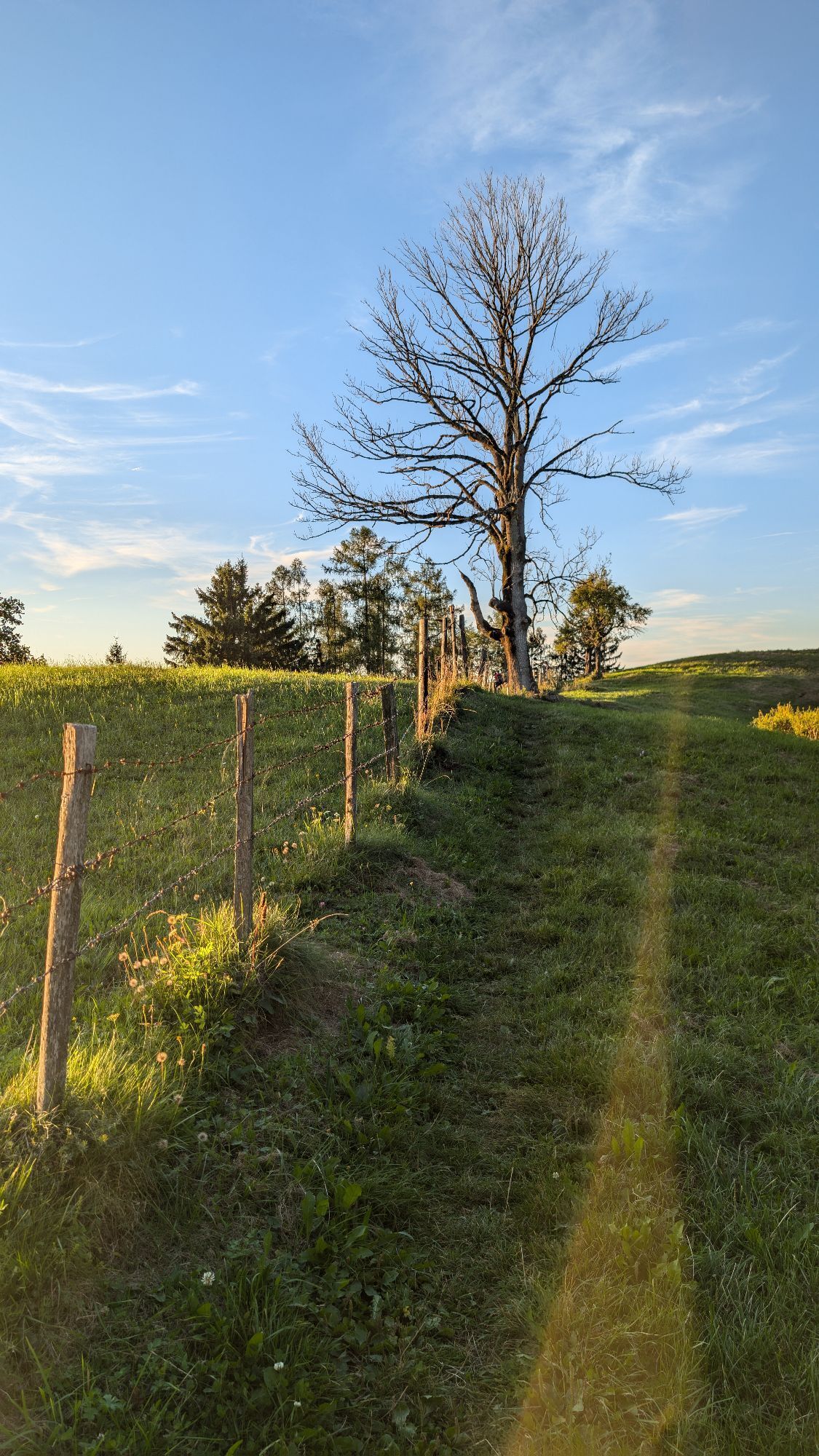
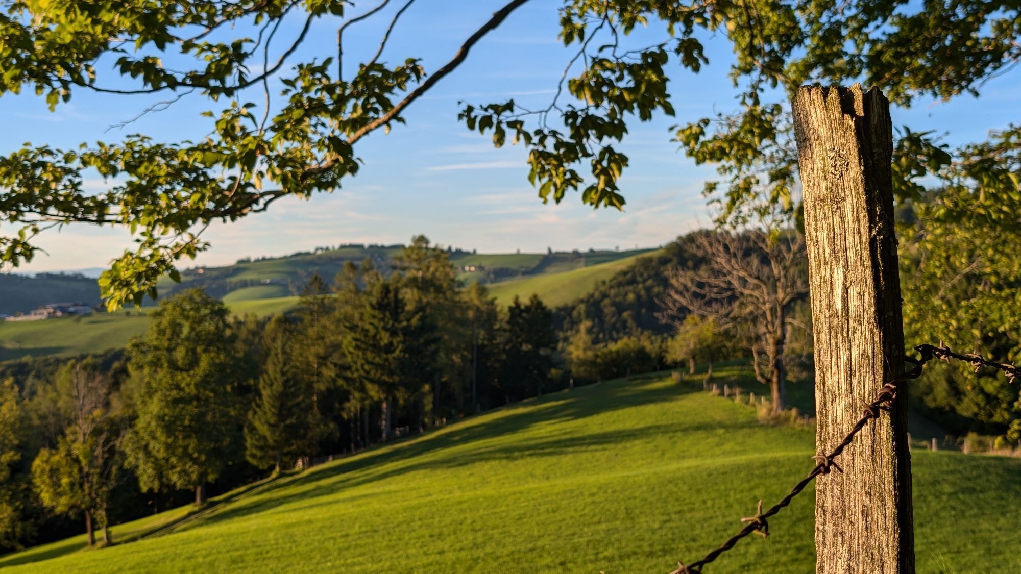
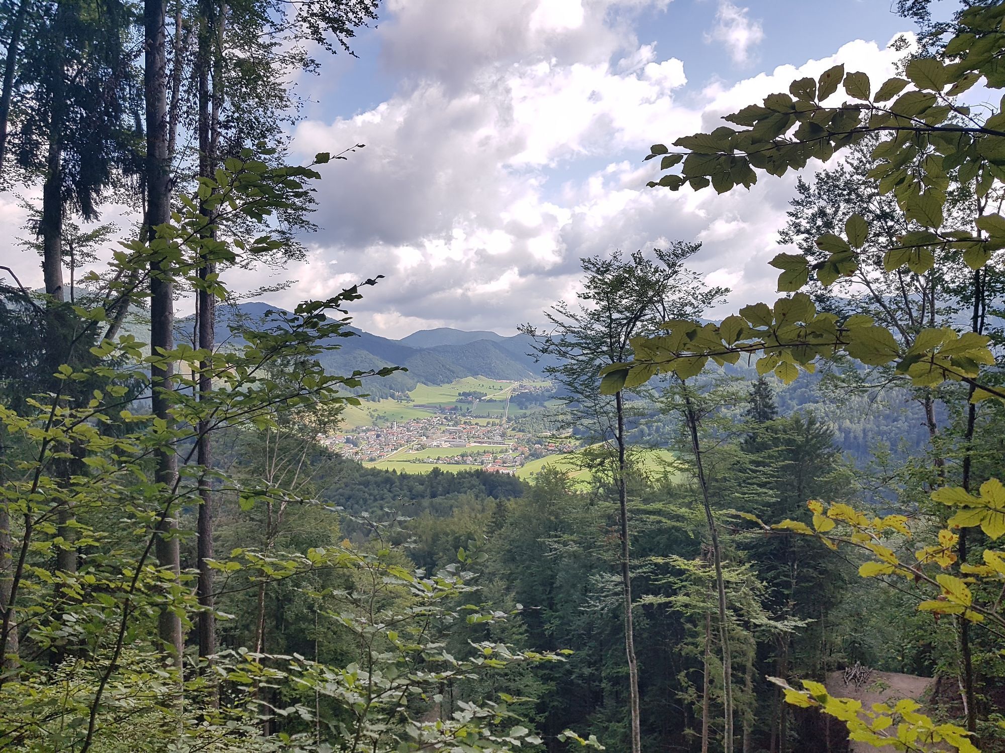
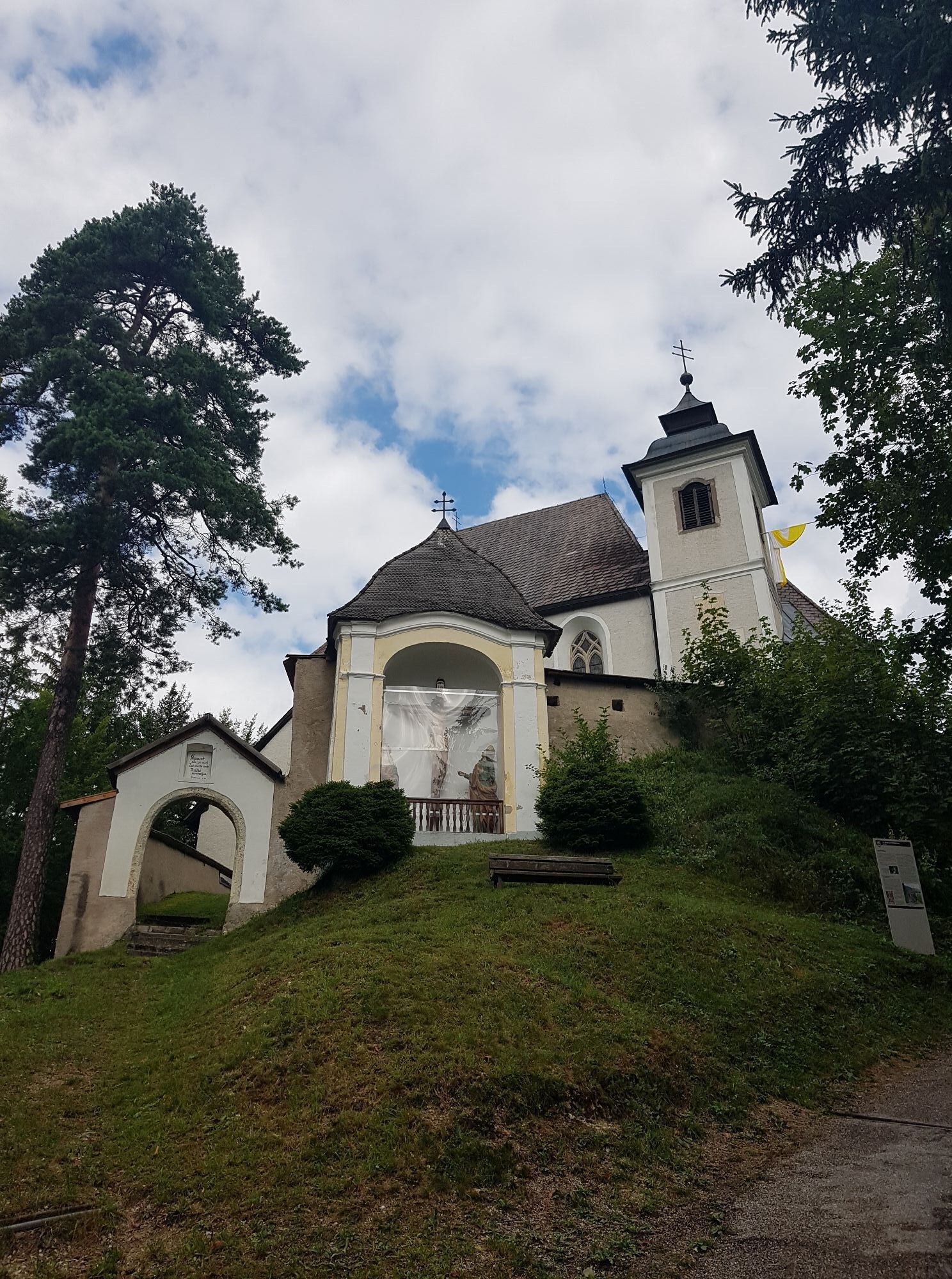
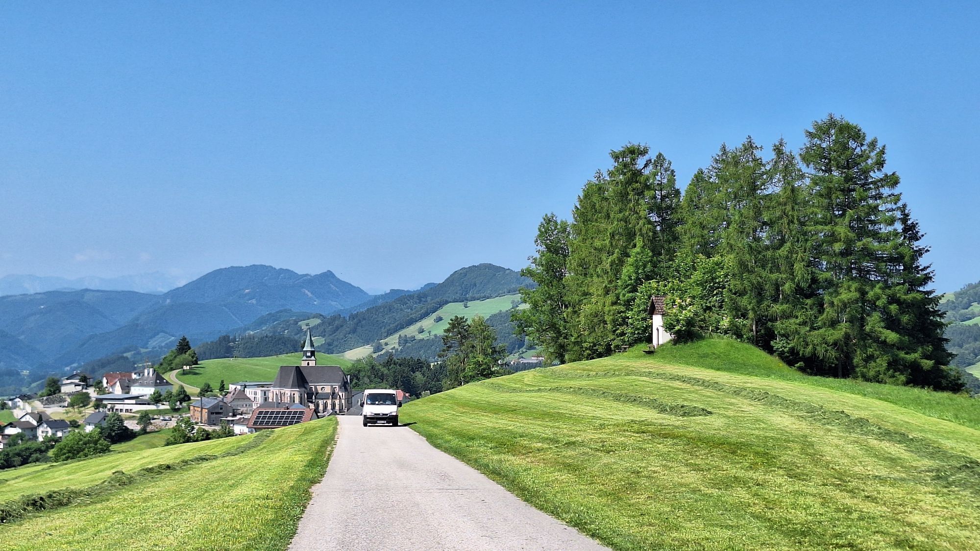
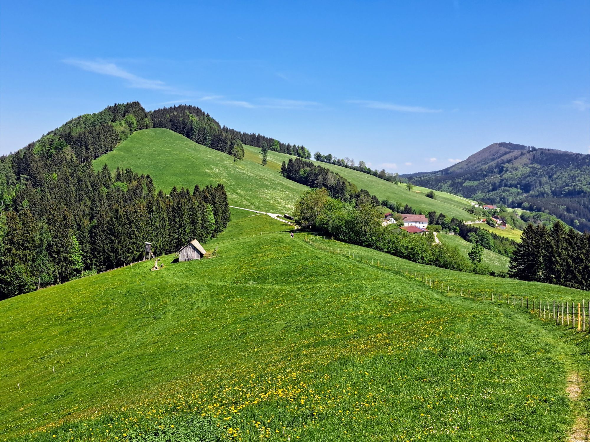
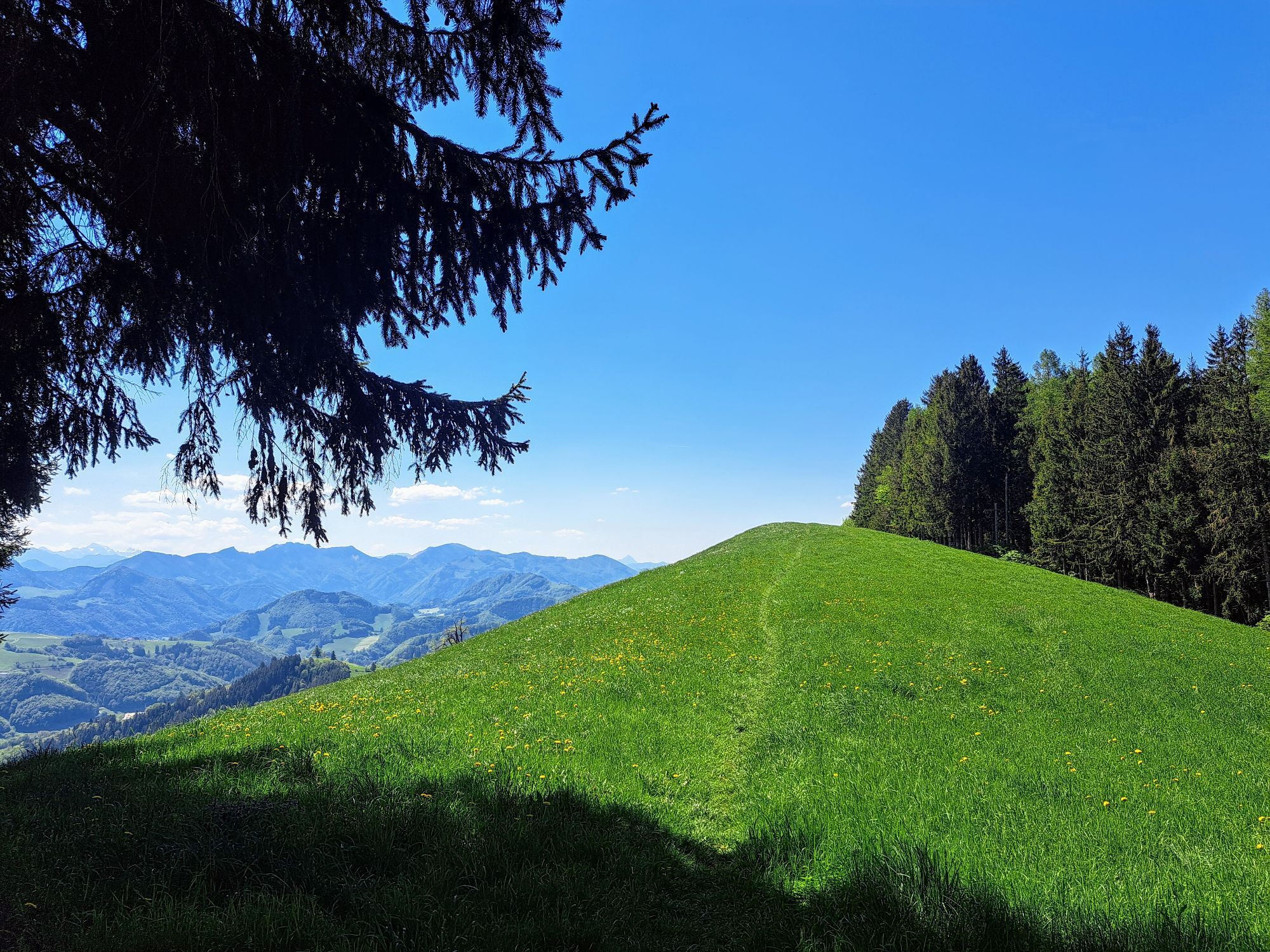
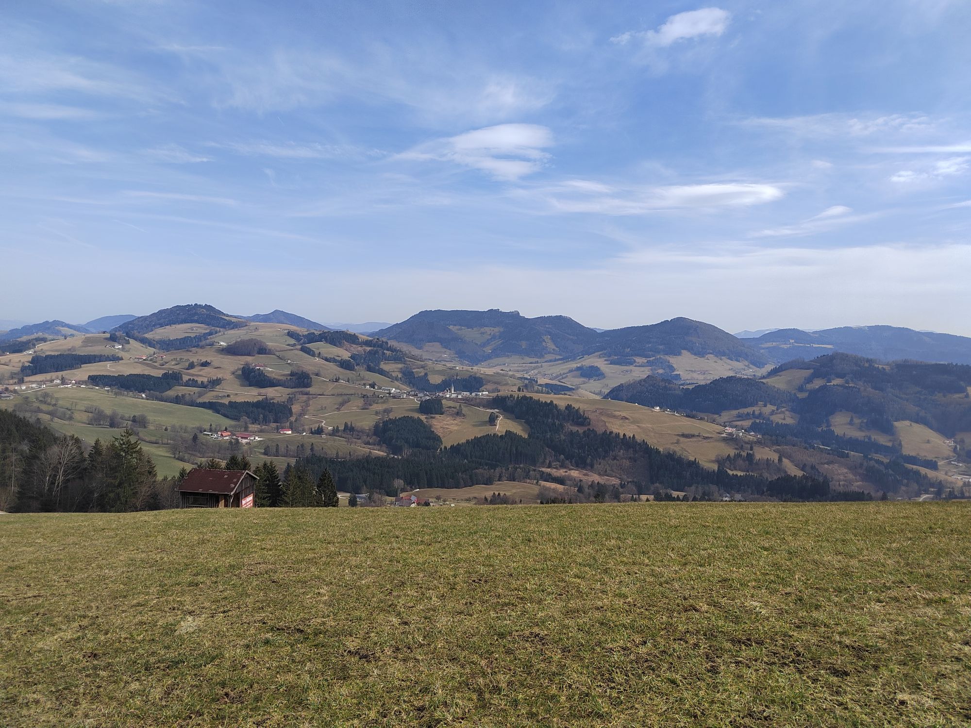
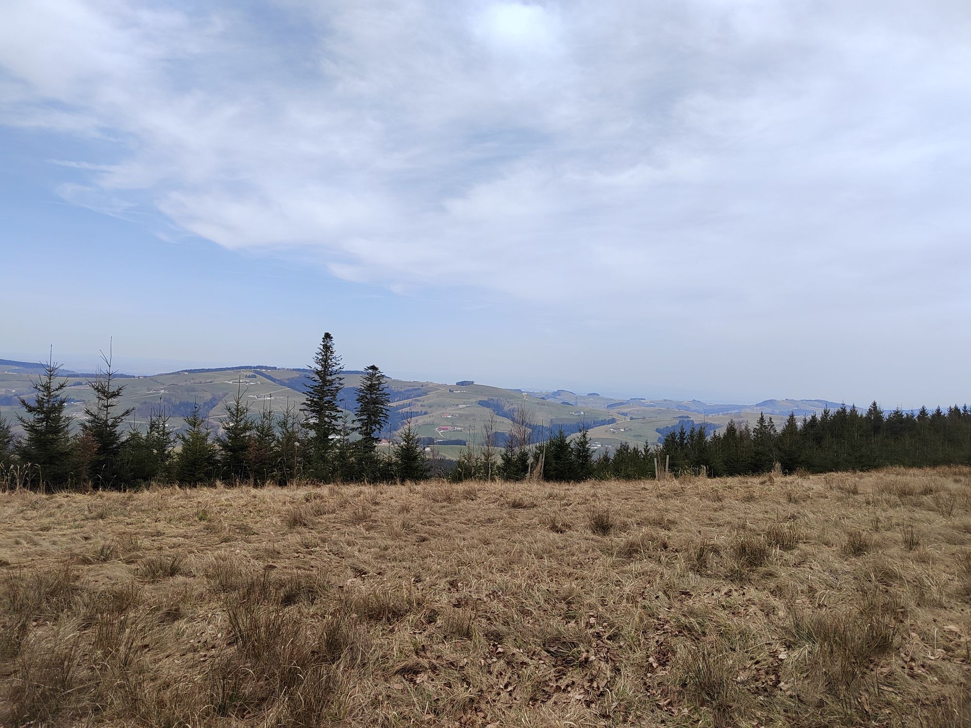
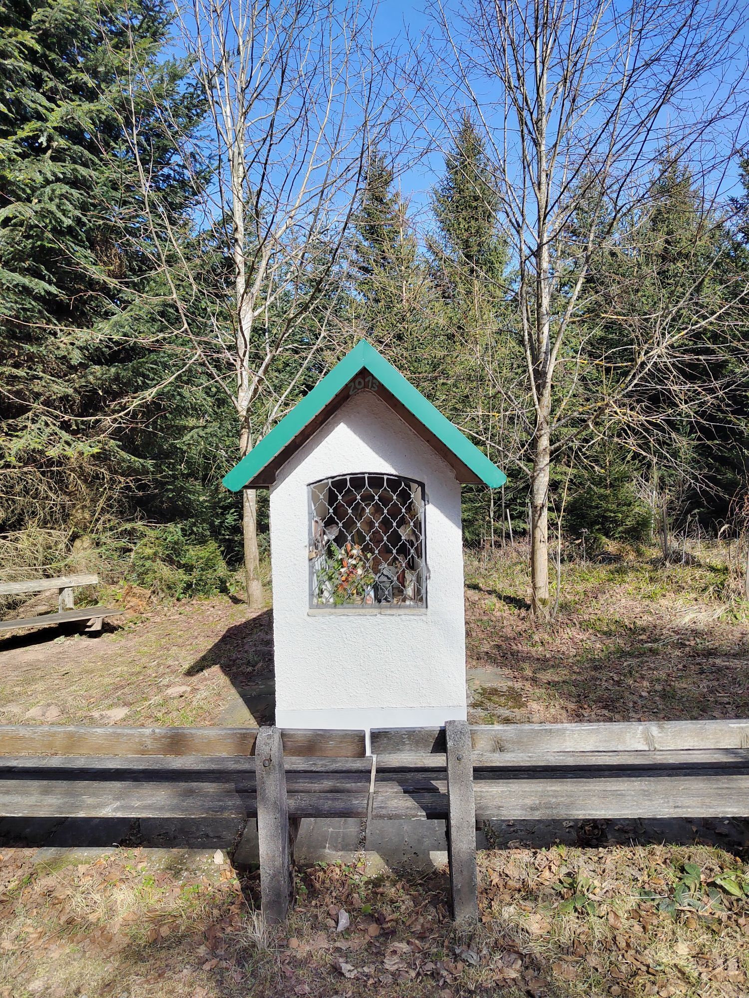
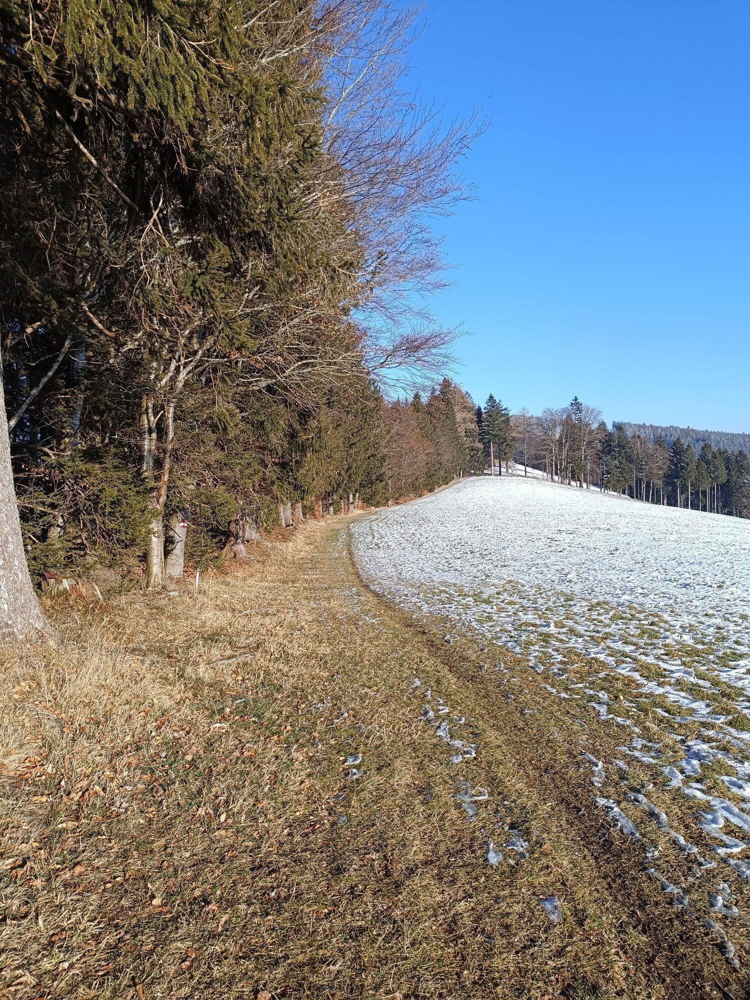
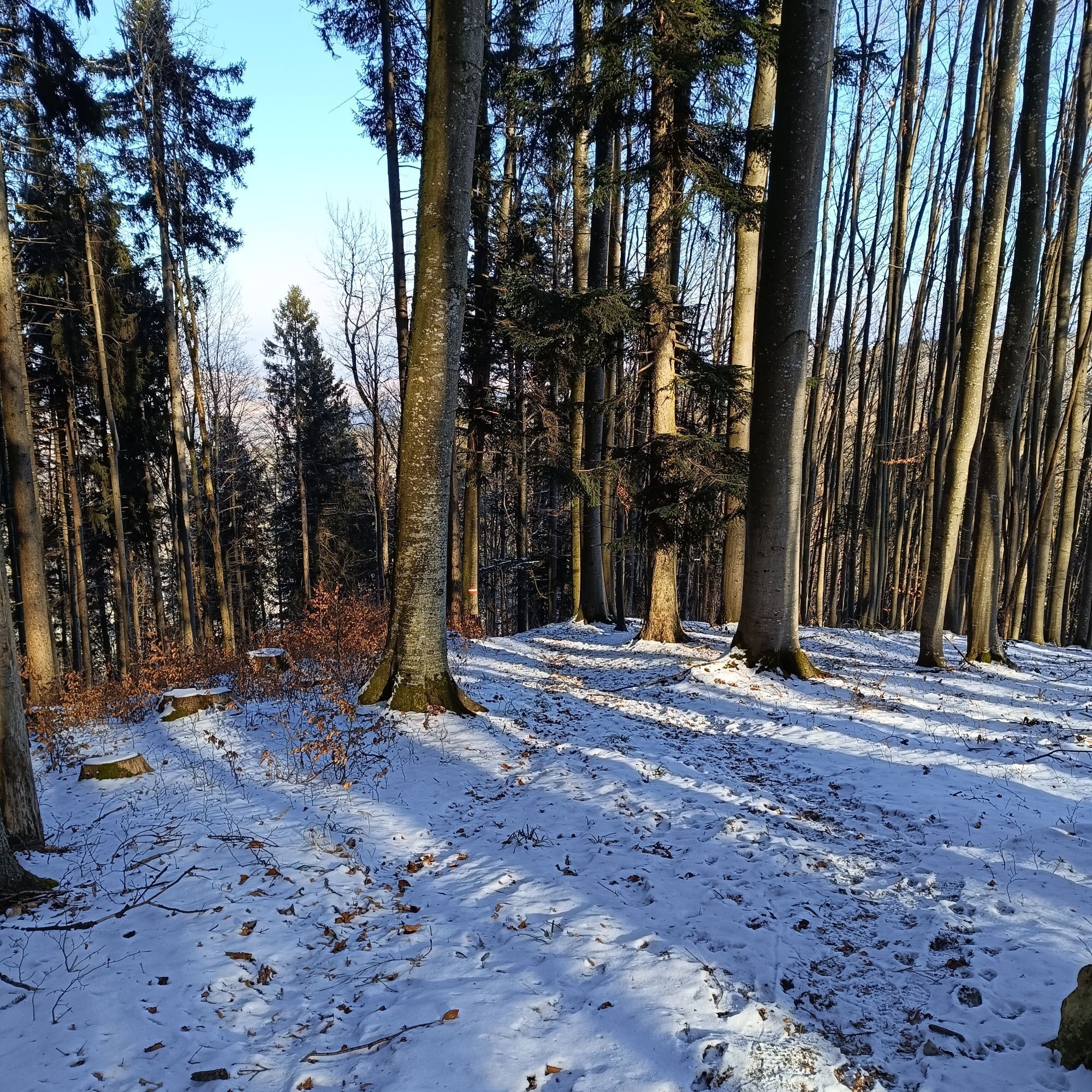
Photos from our users
-

 © Gerhard EdermayerCreated on 11.04.2026
 -
 © Gerhard EdermayerCreated on 11.04.2026
 -
 © Paula SedláčekCreated on 14.03.2026
 -
 © Paula SedláčekCreated on 14.03.2026
 -
 © Paula SedláčekCreated on 14.03.2026
 -
 © Paula SedláčekCreated on 14.03.2026
 -
 © Paula SedláčekCreated on 14.03.2026
 -
 © Paula SedláčekCreated on 14.03.2026
 -
 © Paula SedláčekCreated on 14.03.2026
 -
 © Paula SedláčekCreated on 14.03.2026
 -
 © Paula SedláčekCreated on 14.03.2026
 -

 © Petra RieglerCreated on 11.03.2026
 -

 © Karl HohenwarterCreated on 08.03.2026
 -
 © Karl HohenwarterCreated on 08.03.2026
 -
 © Petra RieglerCreated on 28.02.2026
 -
 © Petra RieglerCreated on 28.02.2026
 -
 © Florian StolzCreated on 26.01.2026
 -
 © MarkusCreated on 11.01.2026
 -
 © MarkusCreated on 11.01.2026
 -
 © Manuela Huemer FriscoCreated on 13.11.2025
 -
 © Manuela Huemer FriscoCreated on 13.11.2025
 -
 © Manuela Huemer FriscoCreated on 13.11.2025
 -
 © NadineCreated on 21.10.2025
 -
 © OesibertCreated on 27.09.2025
 -

 © Klaus LehnerCreated on 04.09.2025
 -
 © Klaus LehnerCreated on 04.09.2025
 -
 © MichaelaWoCreated on 22.08.2025
 -
 © MichaelaWoCreated on 22.08.2025
 -
 © MichaelaWoCreated on 22.08.2025
 -
 © MichaelaWoCreated on 22.08.2025
 -
 © MichaelaWoCreated on 22.08.2025
 -
 © MichaelaWoCreated on 22.08.2025
 -
 © MichaelaWoCreated on 22.08.2025
 -

 © Klaus Gruber 3Created on 15.06.2025
 -
 © Gerhard EdermayerCreated on 12.06.2025
 -
 © Gerhard EdermayerCreated on 12.06.2025
 -
 © Gerhard EdermayerCreated on 12.06.2025
 -
 © BellouCreated on 02.05.2025
 -
 © BellouCreated on 02.05.2025
 -
 © ReginaStCreated on 08.03.2025
 -
 © ReginaStCreated on 08.03.2025
 -
 © ReginaStCreated on 08.03.2025
 -
 © ReginaStCreated on 08.03.2025
 -
 © ReginaStCreated on 08.03.2025
 -
 © ReginaStCreated on 08.03.2025
 -
 © ReginaStCreated on 08.03.2025
 -
 © PrincipessaCreated on 19.02.2025
 -
 © PrincipessaCreated on 19.02.2025


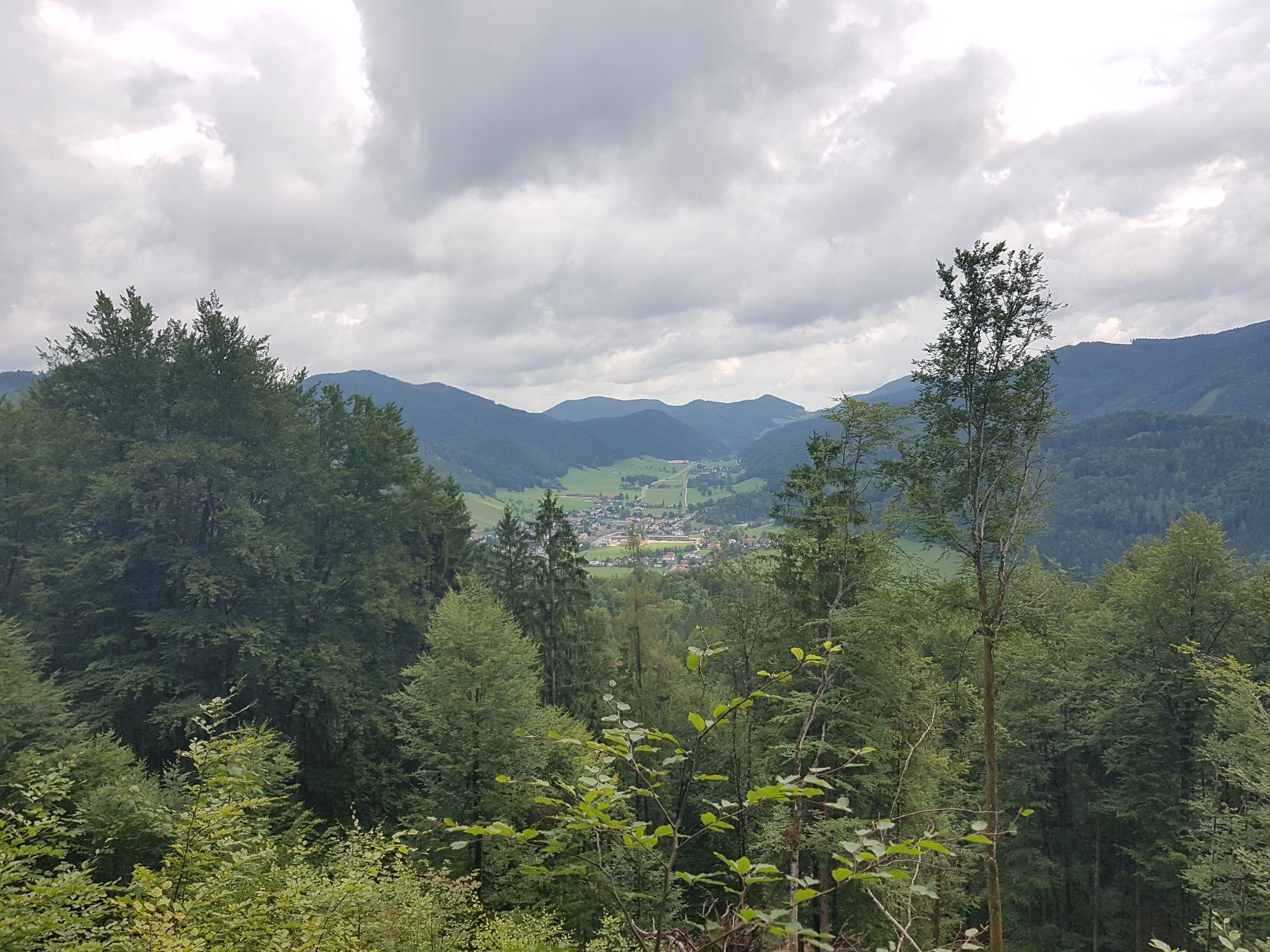
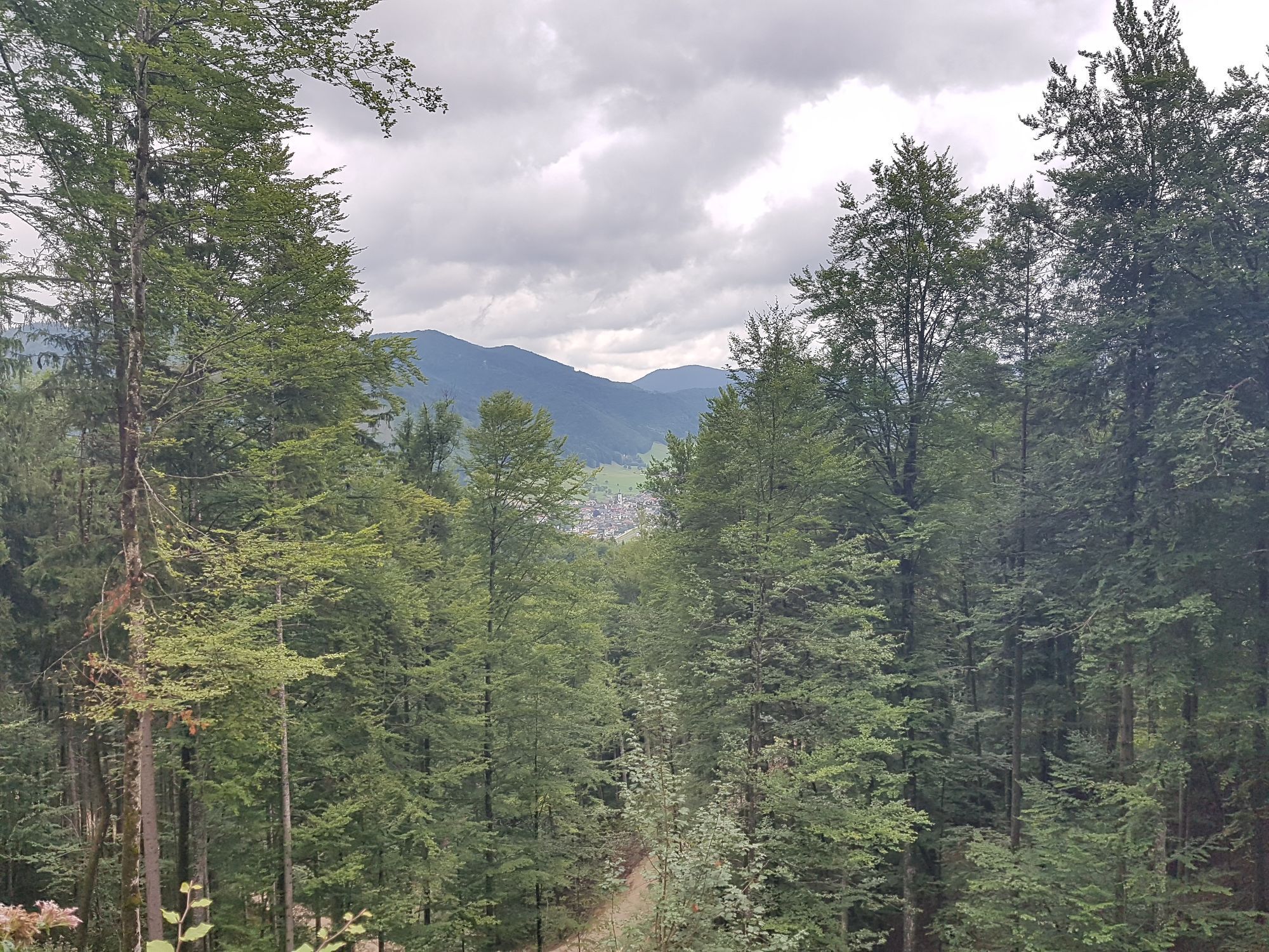


Route
Landesjugendhaus Losenstein
(407 m)
Shelter
0,3 km
Willeitenberg
(837 m)
Summit
14,4 km
Spadenberg
(1.000 m)
Summit
20,9 km
Hals
(882 m)
Mountain saddle
38,6 km
Heiligenstein
(786 m)
Summit
52,6 km
Pfarrkirche Großraming
(446 m)
Place of worship
70,7 km
Gscheid
(780 m)
Mountain saddle
78,5 km
Route
Sebaldusweg
Pješačenje
84,00
km
Losenstein
(346 m)
Village
0,0 km
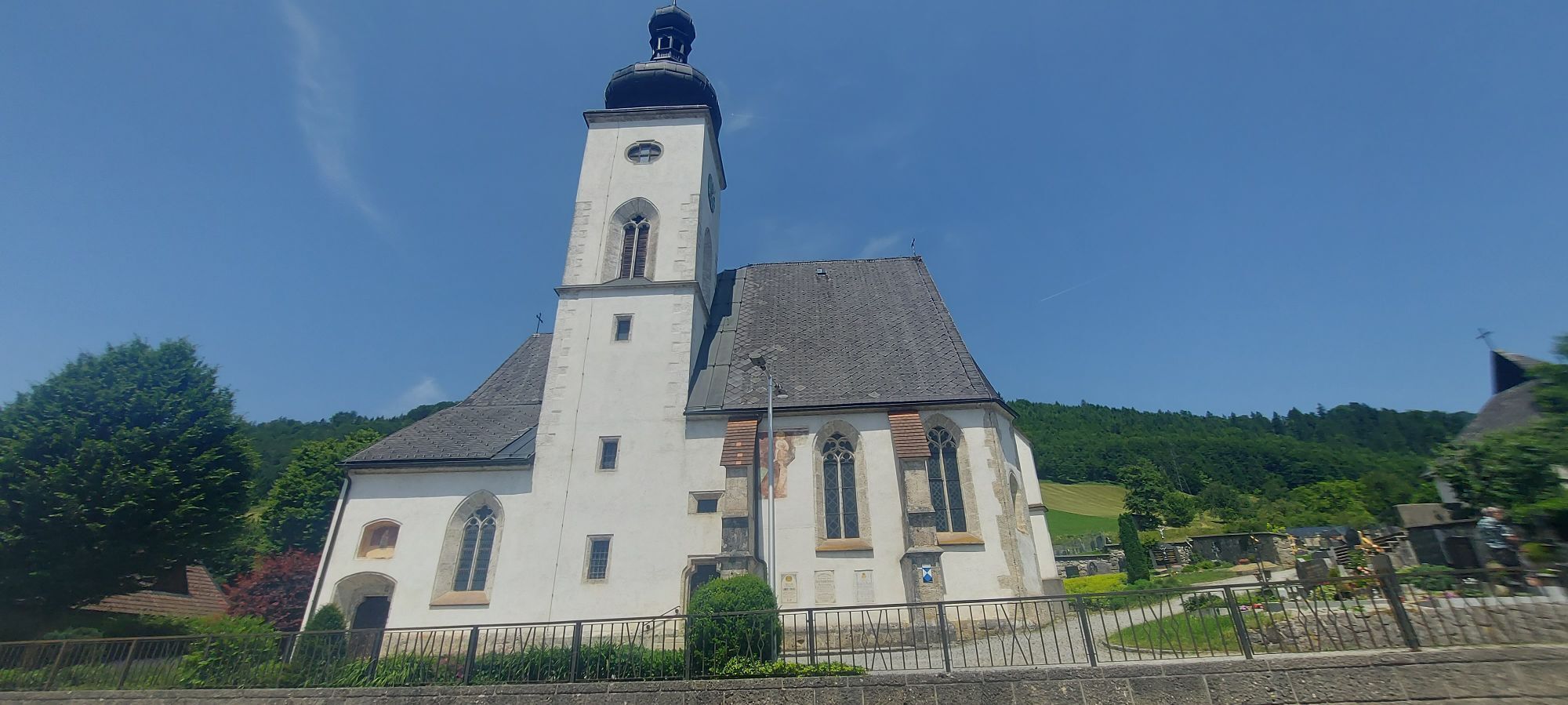
Pfarrkirche hl. Blasius
(348 m)
Place of worship
0,0 km
Landesjugendhaus Losenstein
(407 m)
Shelter
0,3 km
Schindlthal
(478 m)
Settlement
7,3 km
Einsiedlerhöhle
(480 m)
Cave entrance
7,3 km
Kirche Laussa
(432 m)
Place of worship
8,4 km
Laussa
(432 m)
Village
8,6 km
Gasthaus zum Geiger
(443 m)
Restaurant
8,9 km
Friedenskapelle
(756 m)
Place of worship
12,6 km
Sonnberg
(773 m)
Viewpoint
12,8 km
Sonnberg
(777 m)
Summit
12,9 km
Willeitenberg
(837 m)
Summit
14,4 km
Spadenberg
(1.000 m)
Summit
20,9 km
Geierkogel
(886 m)
Summit
23,6 km
Glasnerhütte
(789 m)
Shelter
25,9 km
Gasthaus Großbichler zur Roisentaverne
(607 m)
Restaurant
28,9 km
Kirche Maria Neustift
(612 m)
Place of worship
29,0 km
Gasthaus Schaupp
(609 m)
Restaurant
29,1 km
Maria Neustift
(612 m)
Village
29,1 km
Gschnaidtsteiner kapelle
(723 m)
Place of worship
35,5 km
Heuriger Zöttl - Hochramskogler
(839 m)
Restaurant
36,7 km
Hals
(882 m)
Mountain saddle
38,6 km
Lindau
(542 m)
Village
44,4 km
Markt
(476 m)
Neighbourhood
48,8 km
Gaflenz
(477 m)
Village
48,9 km
Jedermann
(477 m)
Restaurant
48,9 km
Kirche Gaflenz
(482 m)
Place of worship
49,1 km
Pettendorf
(476 m)
Village
50,3 km
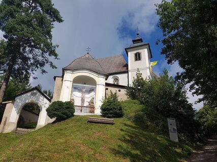
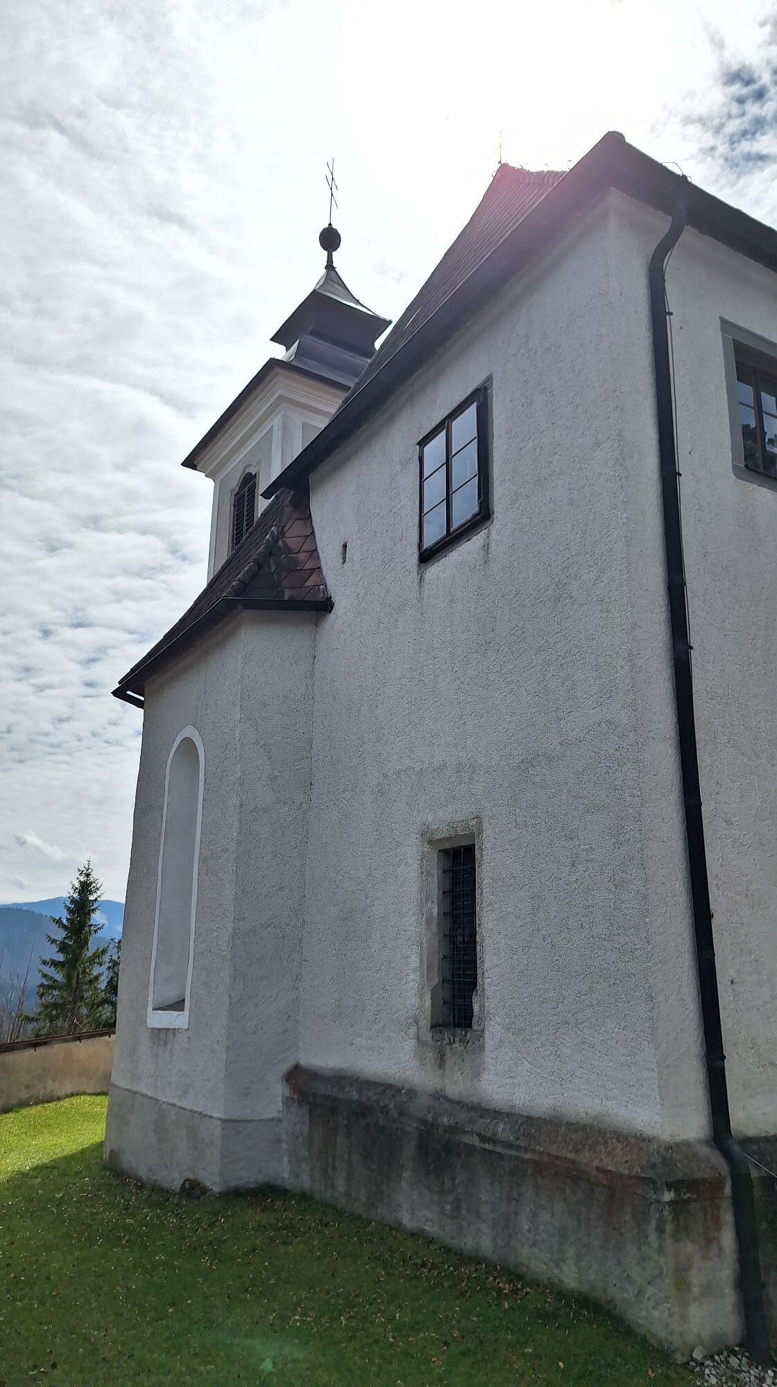
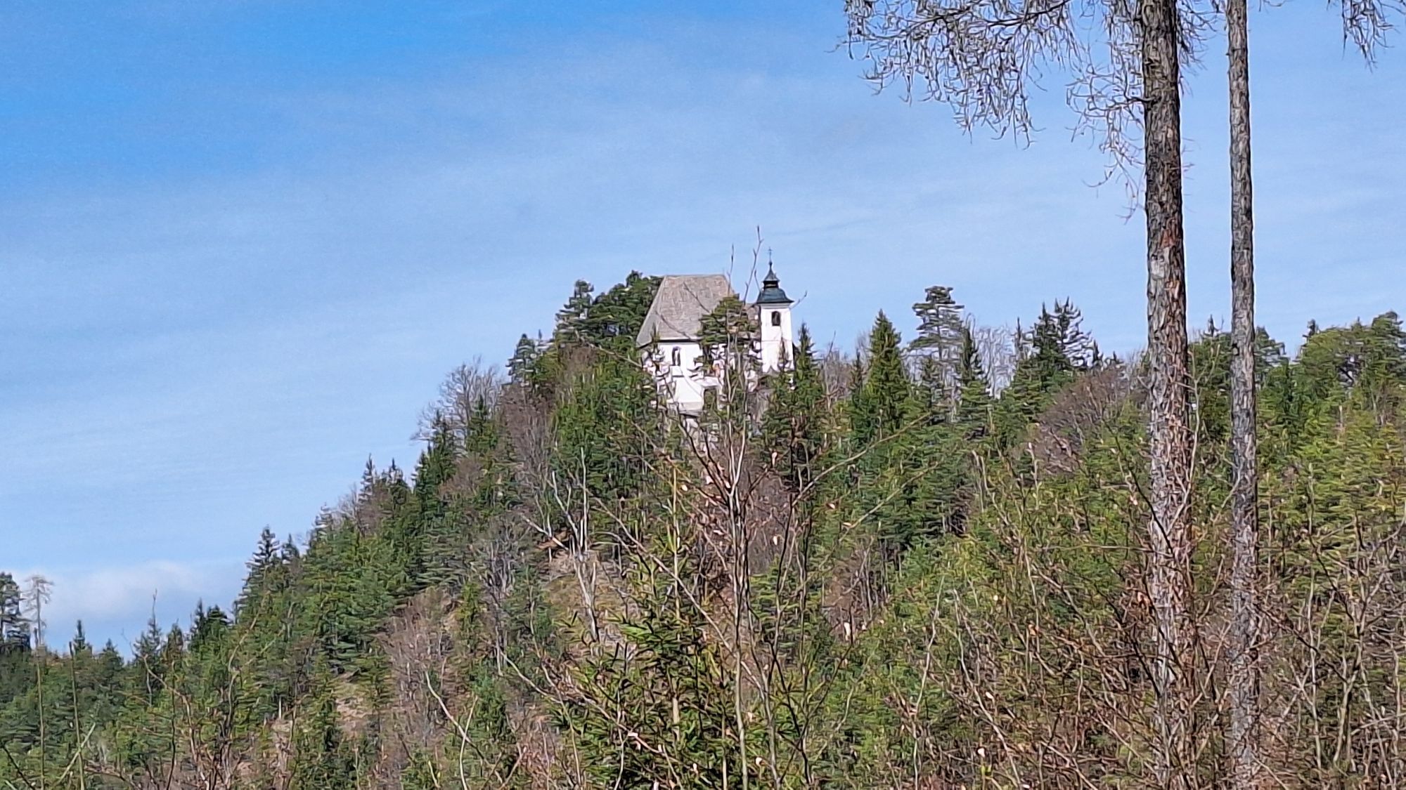
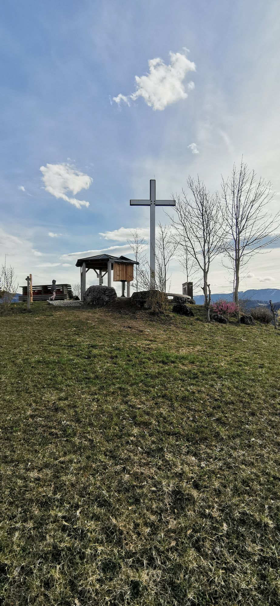
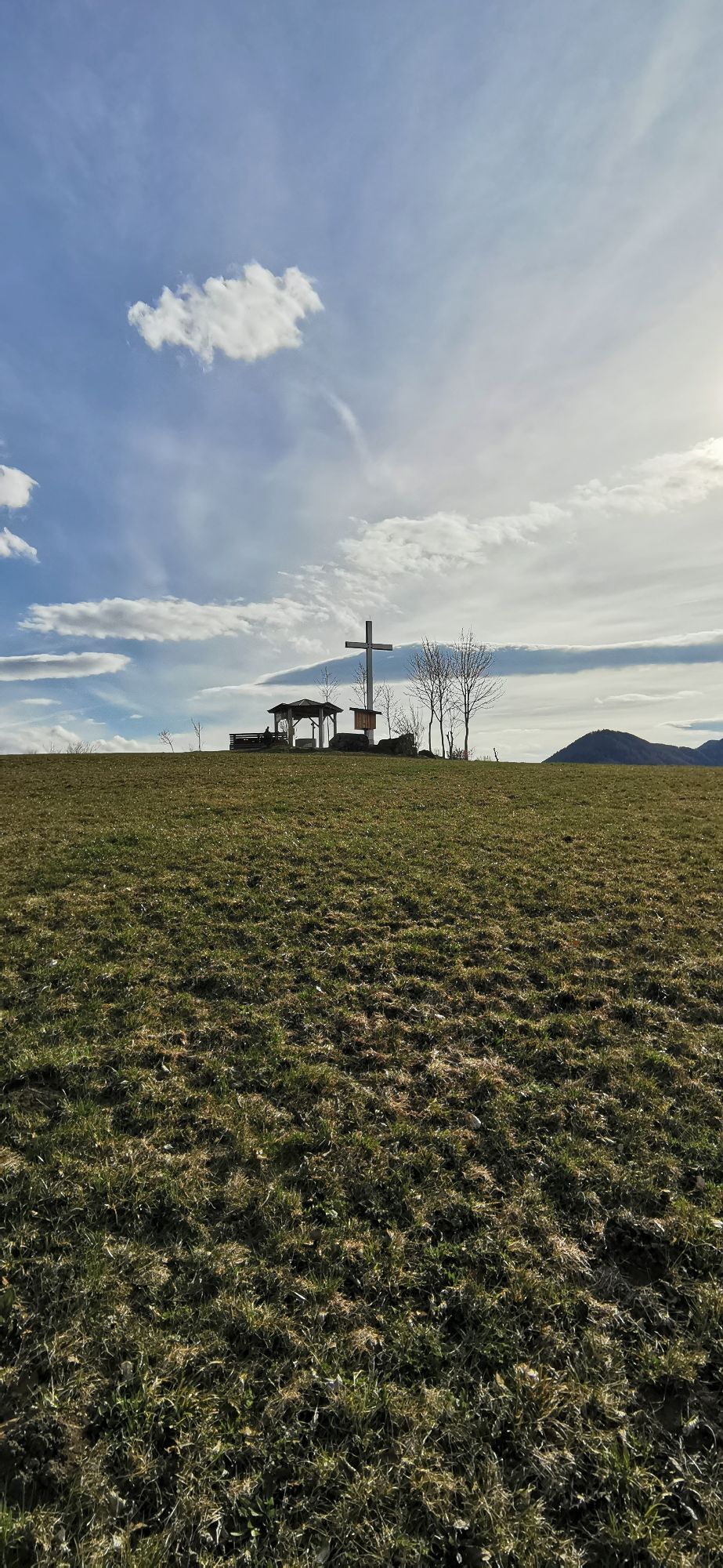
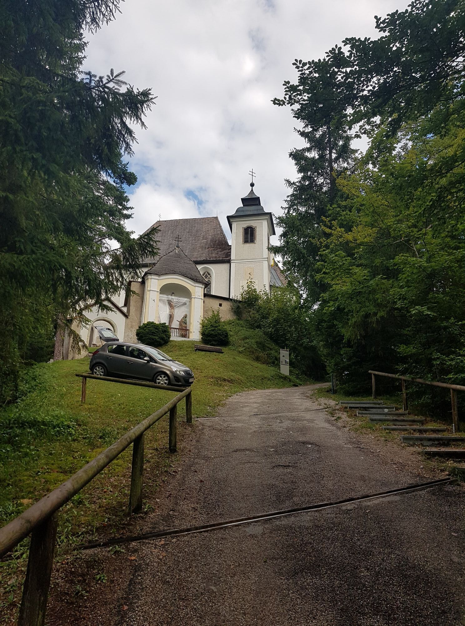
Sebalduskirche am Heiligenstein
(775 m)
Place of worship
52,5 km
Jausenstation Heiligenstein
(776 m)
Restaurant
52,5 km
Heiligenstein
(786 m)
Summit
52,6 km
Reiterhof Edtbauer
(541 m)
Restaurant
55,7 km
Sebastianskapelle
(398 m)
Place of worship
58,0 km
Weyer
(398 m)
Village
58,1 km
Pfarrkirche hl. Johannes Evangelista
(441 m)
Place of worship
58,6 km
Anger
(420 m)
Village
60,9 km
Küpfern
(416 m)
Village
62,9 km
Gasthof Stangl
(378 m)
Restaurant
69,2 km
Pfarrkirche Großraming
(446 m)
Place of worship
70,7 km
Landgasthof Kirchenwirt
(442 m)
Restaurant
70,7 km
Großraming
(437 m)
Village
70,8 km
Reingrub
(388 m)
Settlement
72,0 km
Gscheid
(780 m)
Mountain saddle
78,5 km
Café Restaurant Petermühle
(369 m)
Restaurant
82,6 km
Gasthof Marxrieser - Bräuhaus
(393 m)
Restaurant
83,4 km
Pfarrkirche hl. Blasius
(348 m)
Place of worship
83,9 km
Losenstein
(346 m)
Village
83,9 km

No reviews yet
Popular tours in the neighbourhood
-
4,8
Steinerner Jäger (1185m) und Schieferstein (1206m) ab Parkplatz Hochhabichler
mediumPješačenje 4,46 km -
4,3
Freithofberg
mediumPješačenje 9,15 km -
4,4
Sonnkogel (1177m) und Hohe Dirn (1134m) ab Parkplatz Hohe Dirn
mediumPješačenje 7,71 km -
4,9
Ennser Hut - Almkogel (from Bamacher car park)
mediumPješačenje 3,53 km -
4,7
GROSSRAMING Bamacher, Burgspitz, Almkogel, Ennshütte 20240730
mediumPješačenje 10 km -
4,8
R9 Hintergebirgsradweg
mediumVozi bicikl 29,1 km -
4,6
Steinerner Jäger (1185m) und Schieferstein (1206m) ab Parkplatz Hack
heavyPješačenje 8,58 km -
3,8
Ebenforstalm Rundtour
lightMountainbike 44,6 km -
3,8
Lindaumauer (1103 m)
Pješačenje 3,40 km -
4,6
Burgspitz, Almkogel, Wieser, Langlackenmauer und zurück
mediumPješačenje 13,5 km
bergfex Tours

Over 550.000 tour suggestions, detailed maps and an intuitive route planner make the app a must-have for all nature enthusiasts.

Ne propustite ponude i inspiraciju za vaš sljedeći odmor
Subscribe to the newsletter
Error
An error has occurred. Please try again.
Thank you for your registration
Your e-mail address has been added to the mailing list.
Tours throughout Europe
Austrija
Švicarska
Njemačka
Italija
Slovenija
Francuska
Nizozemska
Belgija
Poljska
Lihtenštajn
Češka
Slovačka
Španija
Hrvatska
Bosna i Hercegovina
Luksemburg
Andora
Portugal
Island
Ujedinjeno Kraljevstvo
Irska
Grčka
Albanija
Sjeverna Makedonija
Malta
Norveška
Crna Gora
Moldova
Kosovo
Mađarska
San Marino
Rumunjska
Estonija
Latvija
Bjelorusija
Cipar
Litva
Srbija
Bugarska
Monako
Danska
Švedska
Finska