Rannach - Geierkogel
light
Navigate
Navigate
Get this tour on your mobile
Rannach - Geierkogel
light
Mountainbike
13,32
km
Scan the QR code and start navigation in the bergfex app

Hiking & Tracking


Distance
13,32
km
Duration
01:26
h
Ascent
342
m
Sea level
423 -
922
m
Track download
Rannach - Geierkogel
light
Mountainbike
13,32
km


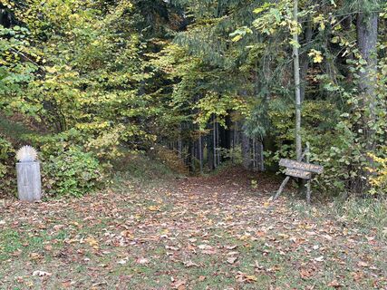
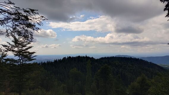
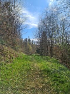
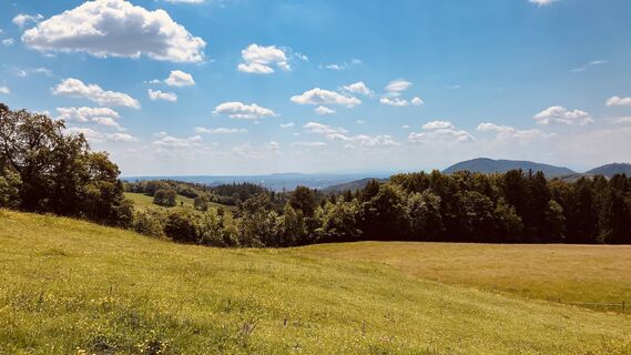
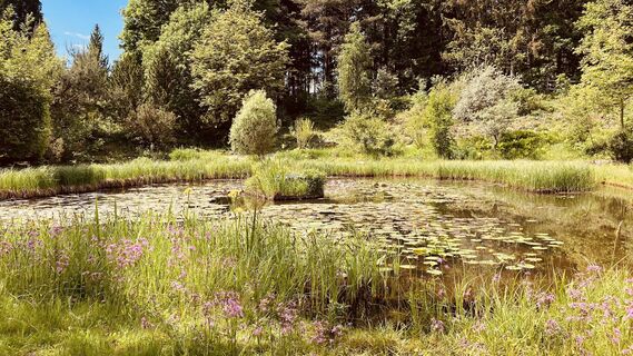
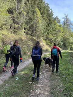
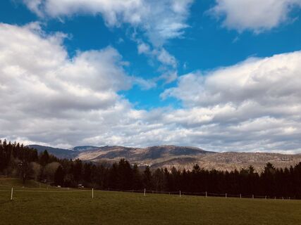
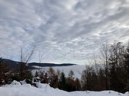
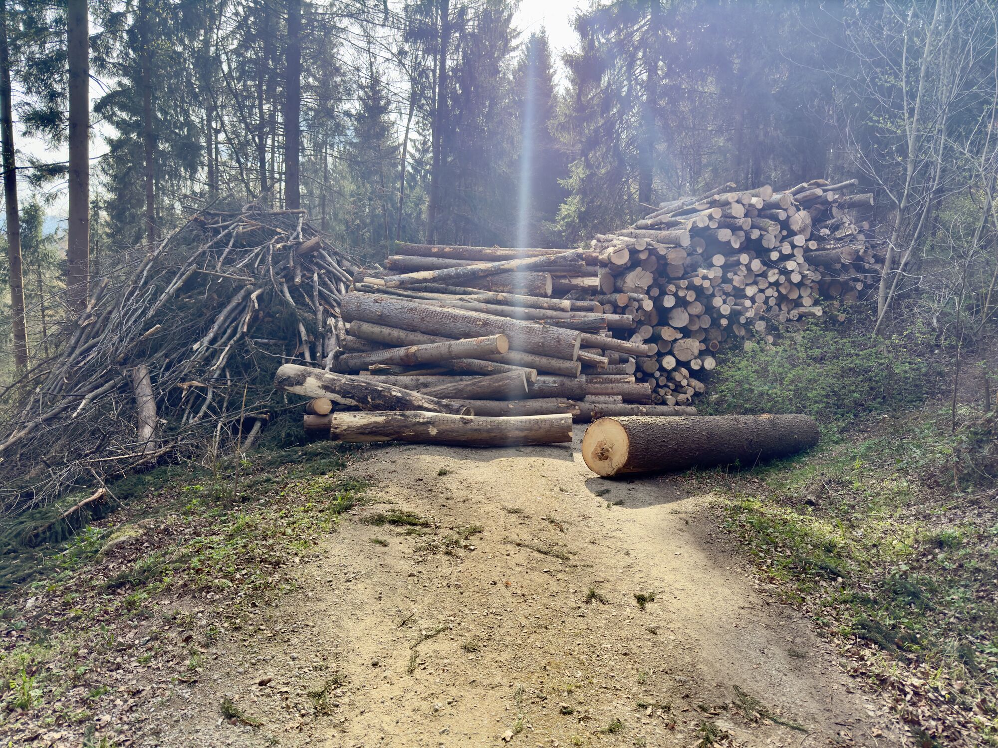
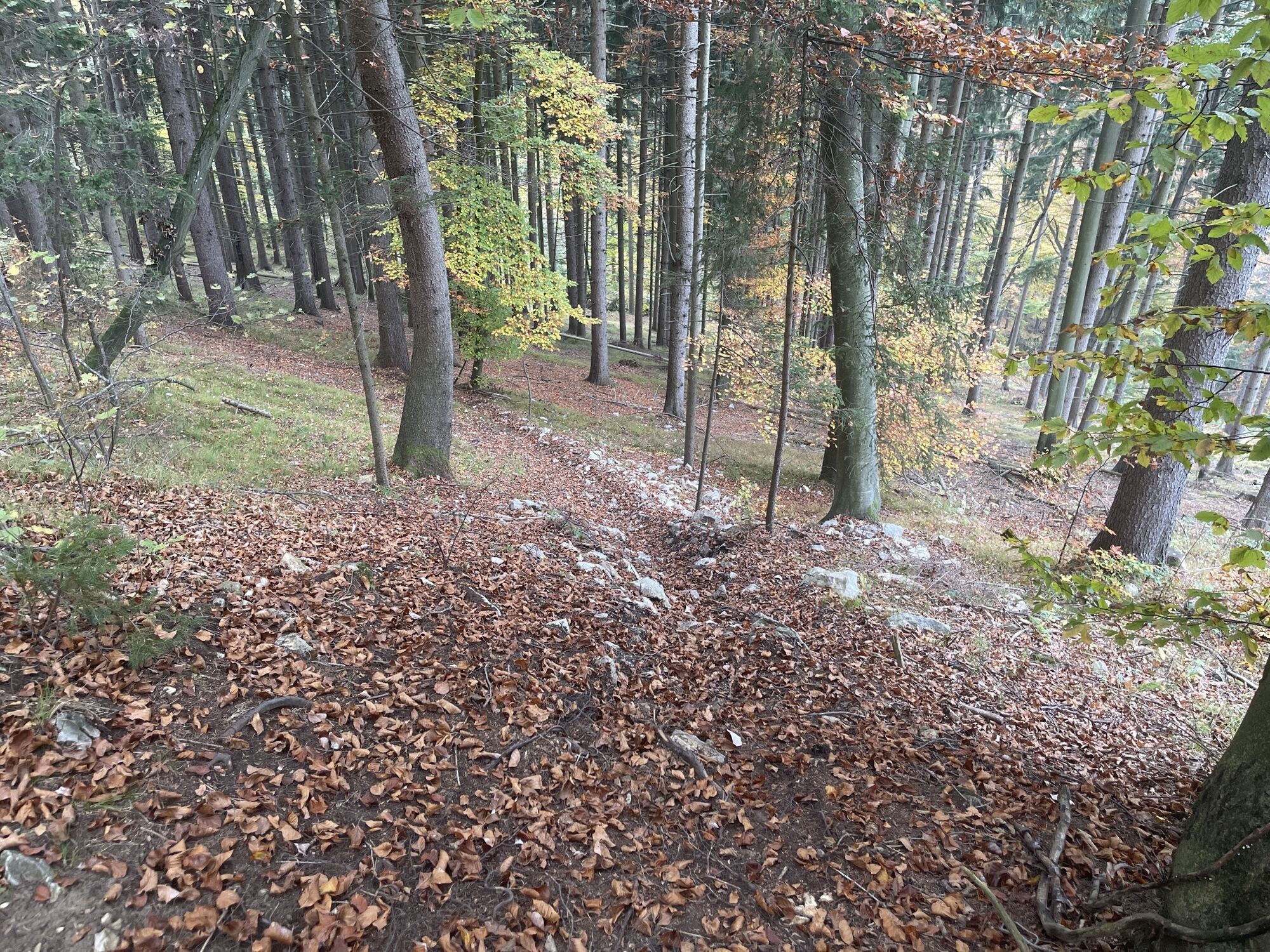
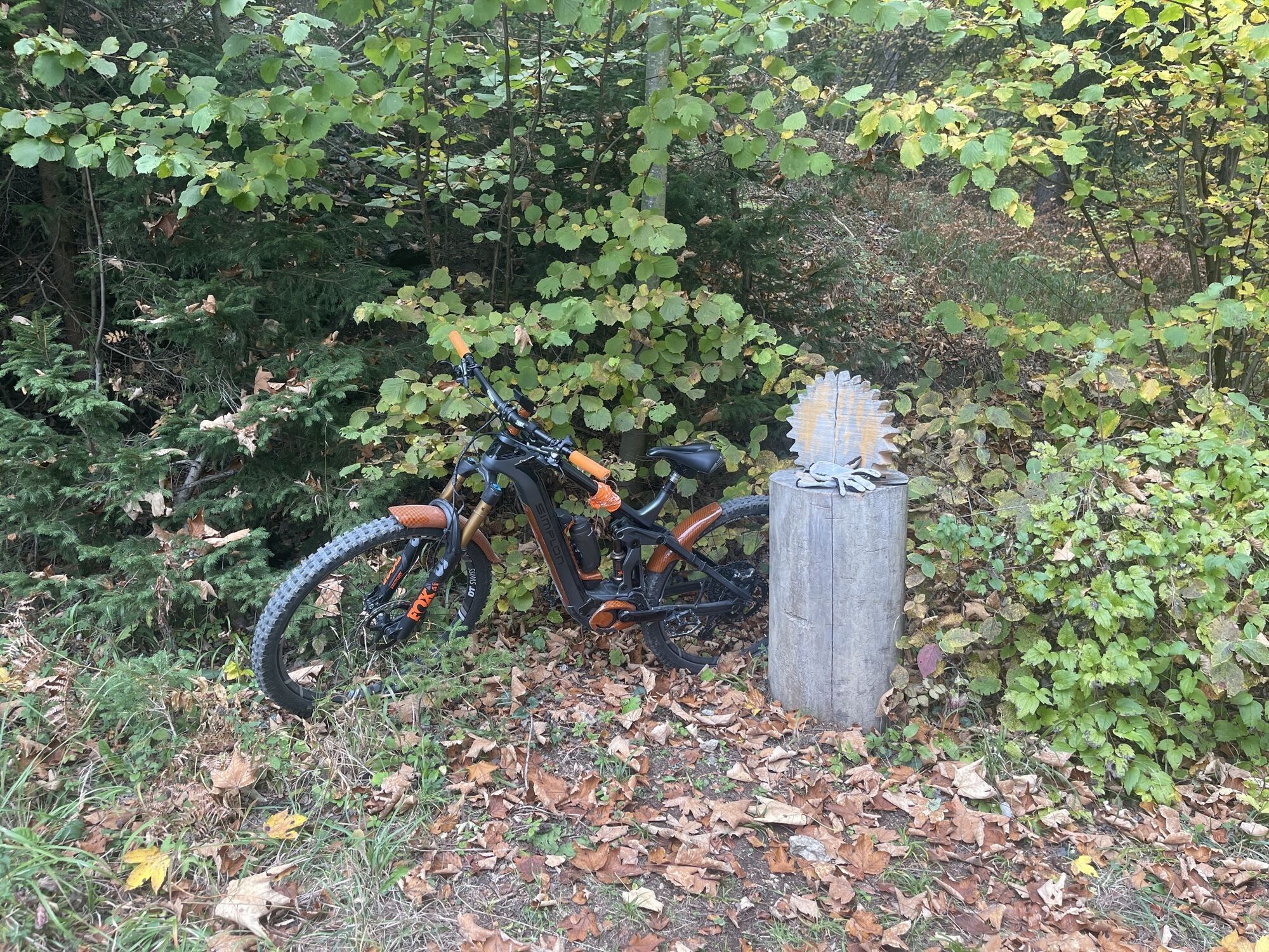
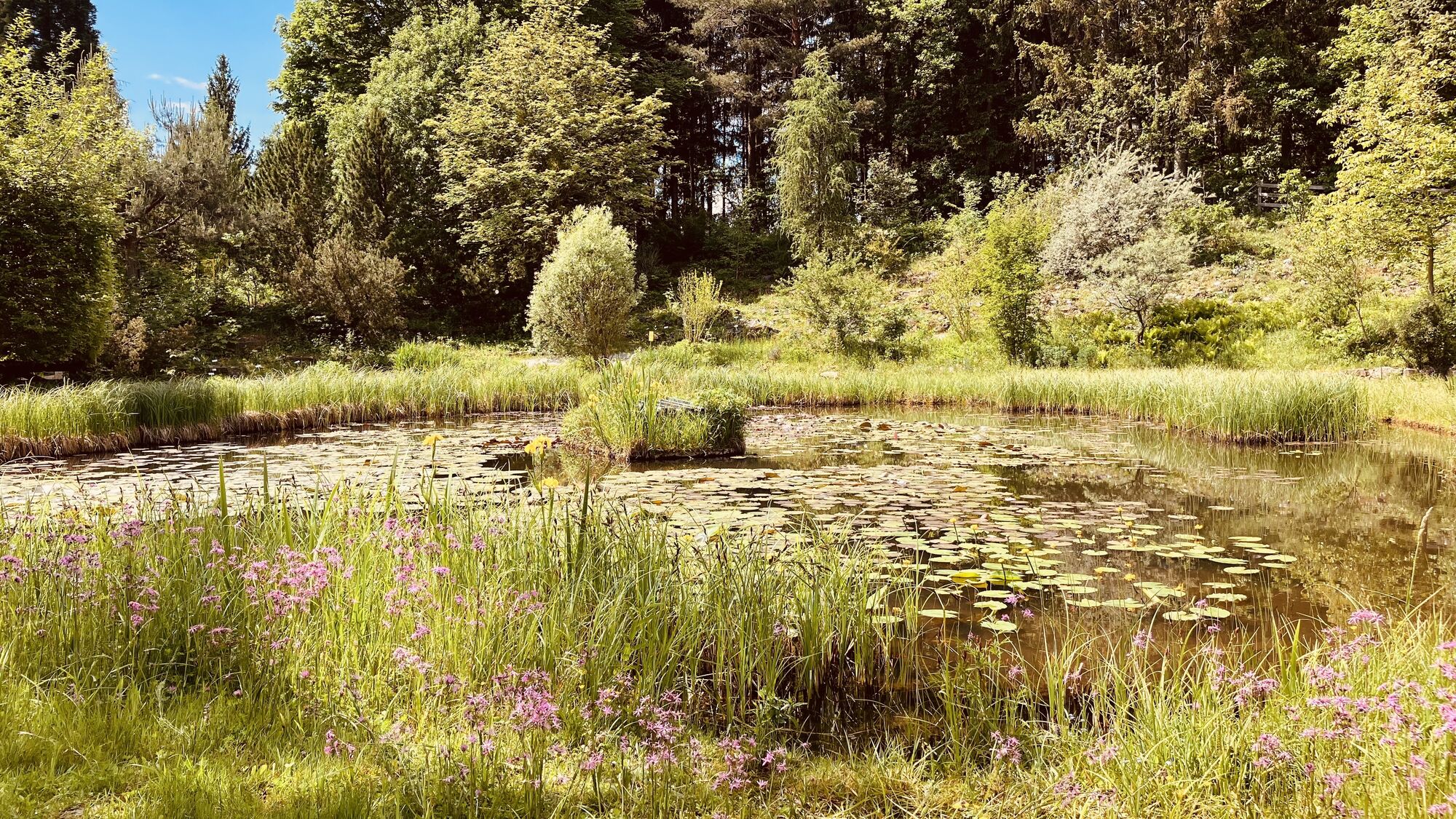
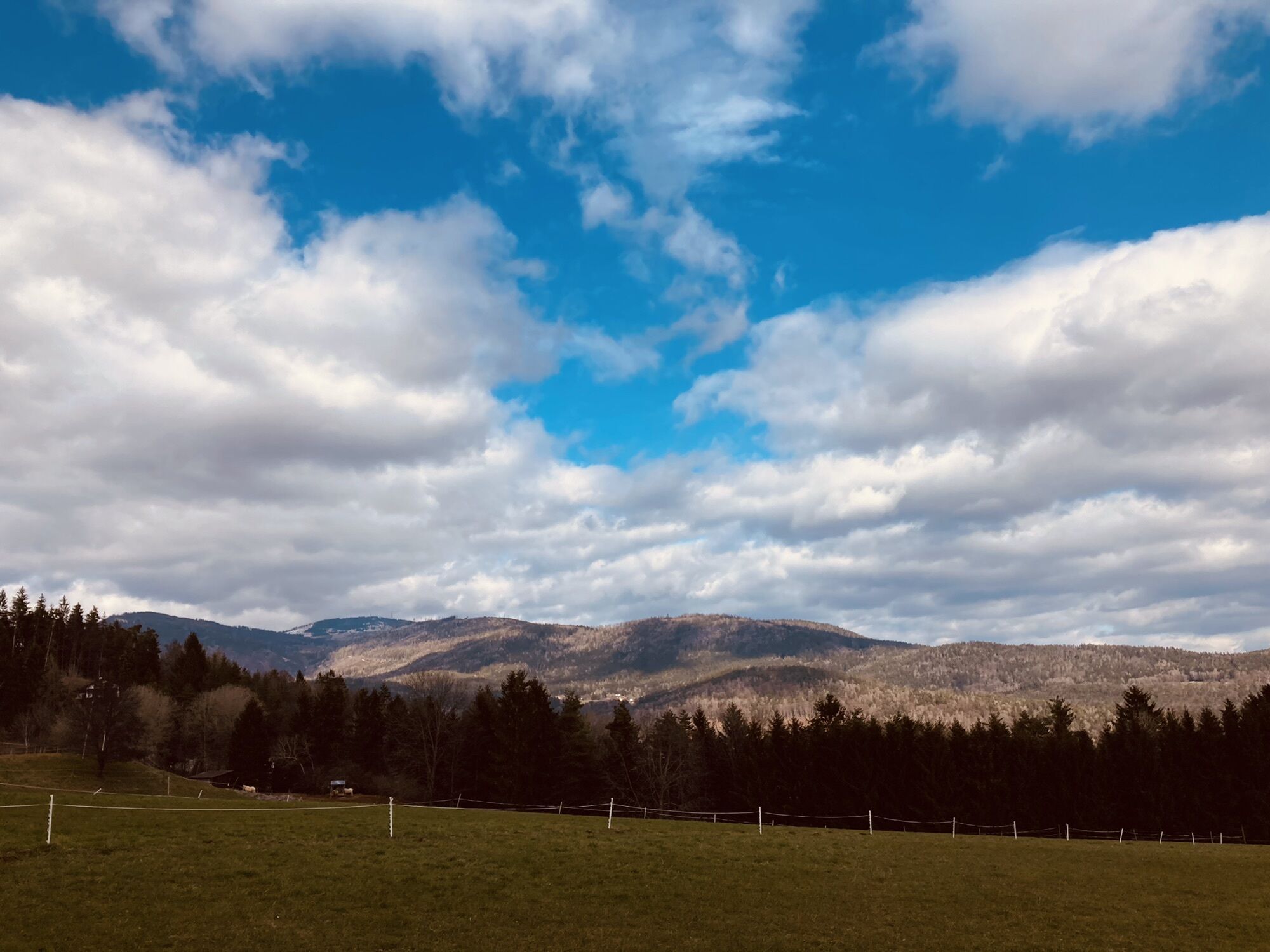
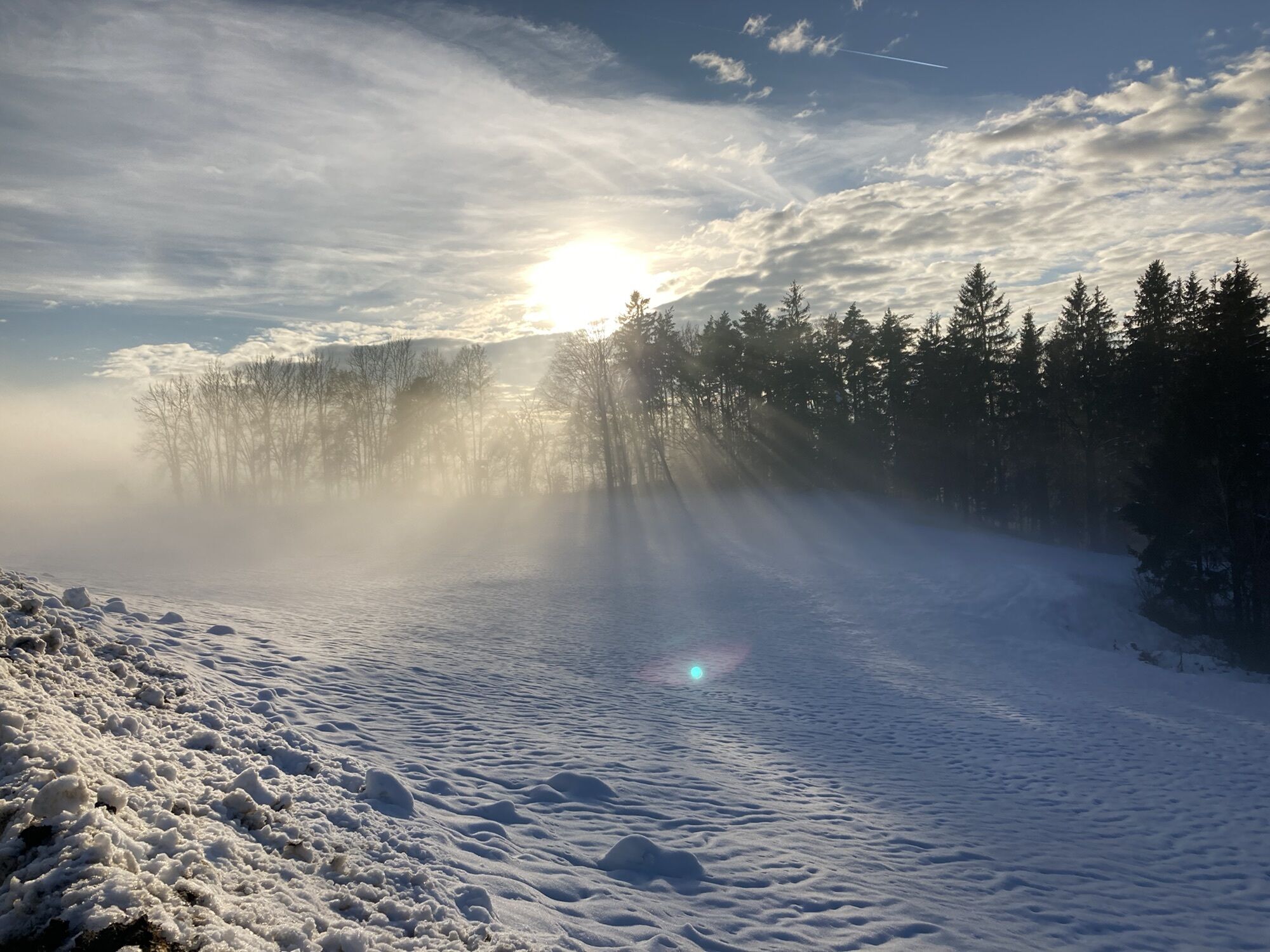
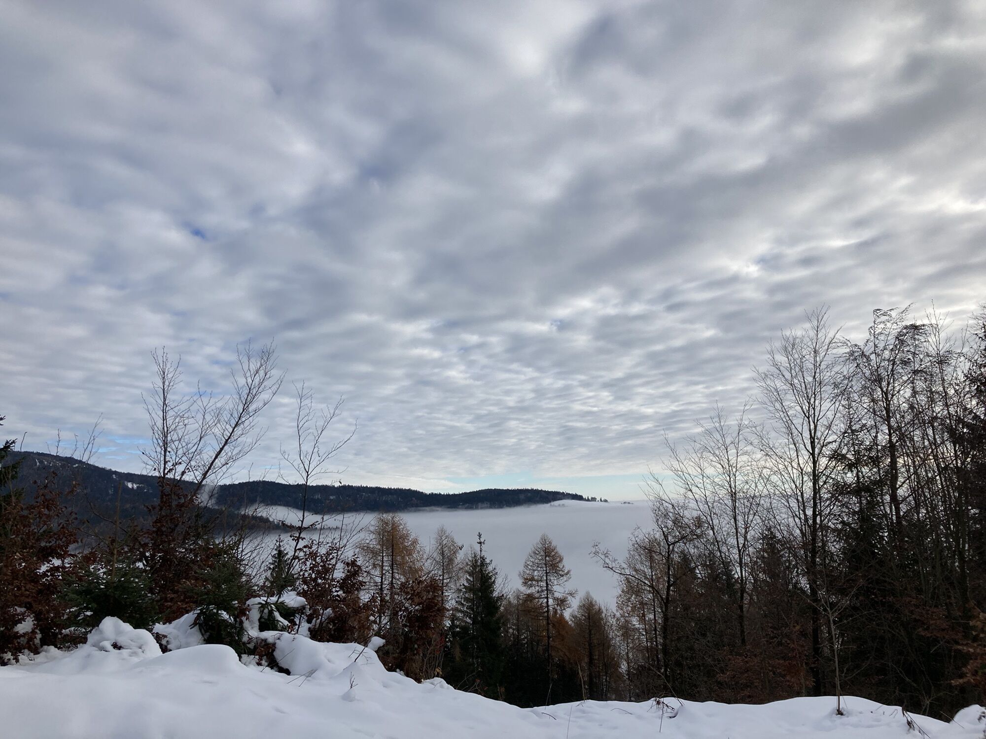
Photos from our users
-
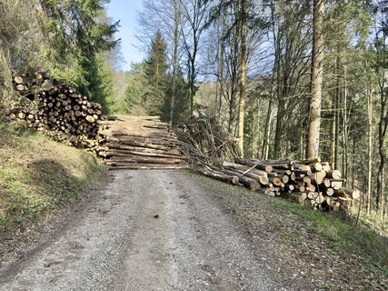
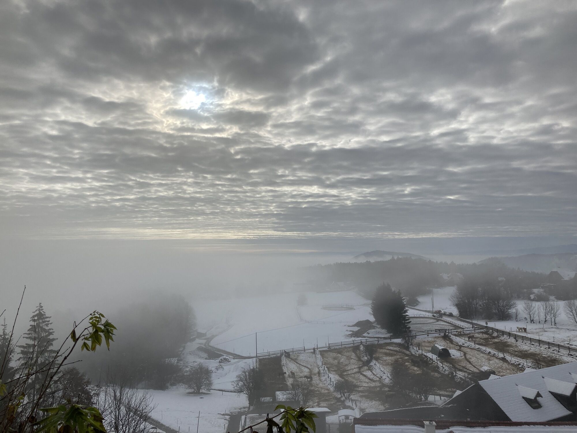
 © Adi H.Created on 10.04.2025
 -
 © Adi H.Created on 10.04.2025
 -
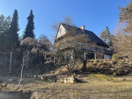
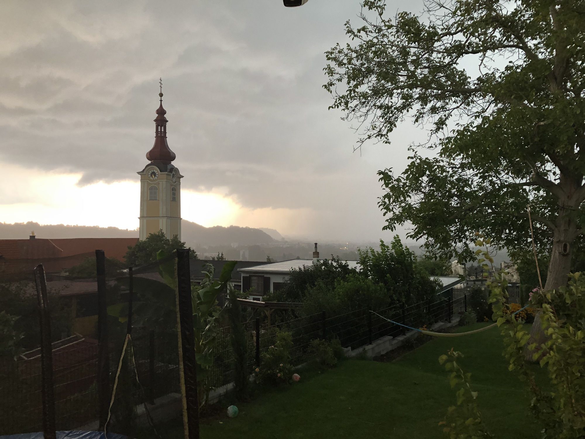
 © firebird 93Created on 14.02.2023
 -
 © firebird 93Created on 14.02.2023
 -
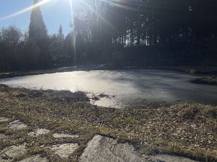
 © firebird 93Created on 21.10.2022
 -
 © firebird 93Created on 21.10.2022
 -
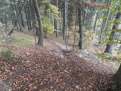
 © Christoph SchwindsacklCreated on 19.10.2022
 -
 © Anton PrettenhoferCreated on 24.08.2025
 -
 © Hans Reiter 2Created on 05.04.2025
 -
 © Robert GerardCreated on 12.05.2024
 -
 © Robert GerardCreated on 12.05.2024
 -
 © Anna ErkerCreated on 24.09.2022
 -
 © Robert GerardCreated on 23.03.2021
 -
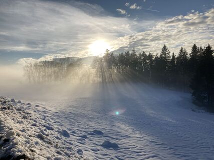 © Robert GerardCreated on 18.12.2020
 -
 © Robert GerardCreated on 18.12.2020
 -
 © Robert GerardCreated on 18.12.2020


Route
Rannach
(685 m)
Settlement
7,6 km
Alpengarten Rannach
(646 m)
Restaurant
8,2 km
Bei den drei Linden
(539 m)
Restaurant
10,6 km
Sankt Veit
(434 m)
Neighbourhood
12,9 km
Route
Rannach - Geierkogel
light
Mountainbike
13,32
km
Rannach
(685 m)
Settlement
7,6 km
Alpengarten Rannach
(646 m)
Restaurant
8,2 km
Bei den drei Linden
(539 m)
Restaurant
10,6 km
Sankt Veit
(434 m)
Neighbourhood
12,9 km

No reviews yet
Popular tours in the neighbourhood
-
4,6
Kesselfallklamm, Steiermark
lightPješačenje 3,30 km -
4,6
Königgraben - Gamskogel - Bärenhöhle - Königgraben
mediumPješačenje 5,60 km -
4,2
Vom Schöcklkreuz auf den Schöckl
Pješačenje 5 km -
4,7
Frohnleitner Gschwendtberg
heavyPješačenje 7,68 km -
4,8
Haneggkogel-Runde
lightPješačenje 8,43 km -
4,4
Rein ist Vergnügen
lightPješačenje 11,6 km -
4,7
R6 Kesselfallrundweg
mediumPješačenje 2,57 km -
4,0
Große Raabklamm, Mortantsch
mediumPješačenje 10,1 km -
4,6
Schöckl-Runde, Schöcklkreuz-Plenzengreith
lightPješačenje 7,82 km -
4,7
Rundwanderweg Graz-Mariatrost
mediumPješačenje 11,4 km
bergfex Tours

Over 550.000 tour suggestions, detailed maps and an intuitive route planner make the app a must-have for all nature enthusiasts.

Ne propustite ponude i inspiraciju za vaš sljedeći odmor
Subscribe to the newsletter
Error
An error has occurred. Please try again.
Thank you for your registration
Your e-mail address has been added to the mailing list.
Tours throughout Europe
Austrija
Švicarska
Njemačka
Italija
Slovenija
Francuska
Nizozemska
Belgija
Poljska
Lihtenštajn
Češka
Slovačka
Španija
Hrvatska
Bosna i Hercegovina
Luksemburg
Andora
Portugal
Island
Ujedinjeno Kraljevstvo
Irska
Grčka
Albanija
Sjeverna Makedonija
Malta
Norveška
Crna Gora
Moldova
Kosovo
Mađarska
San Marino
Rumunjska
Estonija
Latvija
Bjelorusija
Cipar
Litva
Srbija
Bugarska
Monako
Danska
Švedska
Finska