


Streckenlänge: 19,7 km Strassenbelag: Asphalt Bergauf: 285 hm Profil: schwer Beschilderung: fast perfekt Start am Marktplatz bei der Kirche km 1,6 Dörfla km 8,3 Toniegg km 19,7 Kirchbach Anschlussradwege...
Streckenlänge: 19,7 km
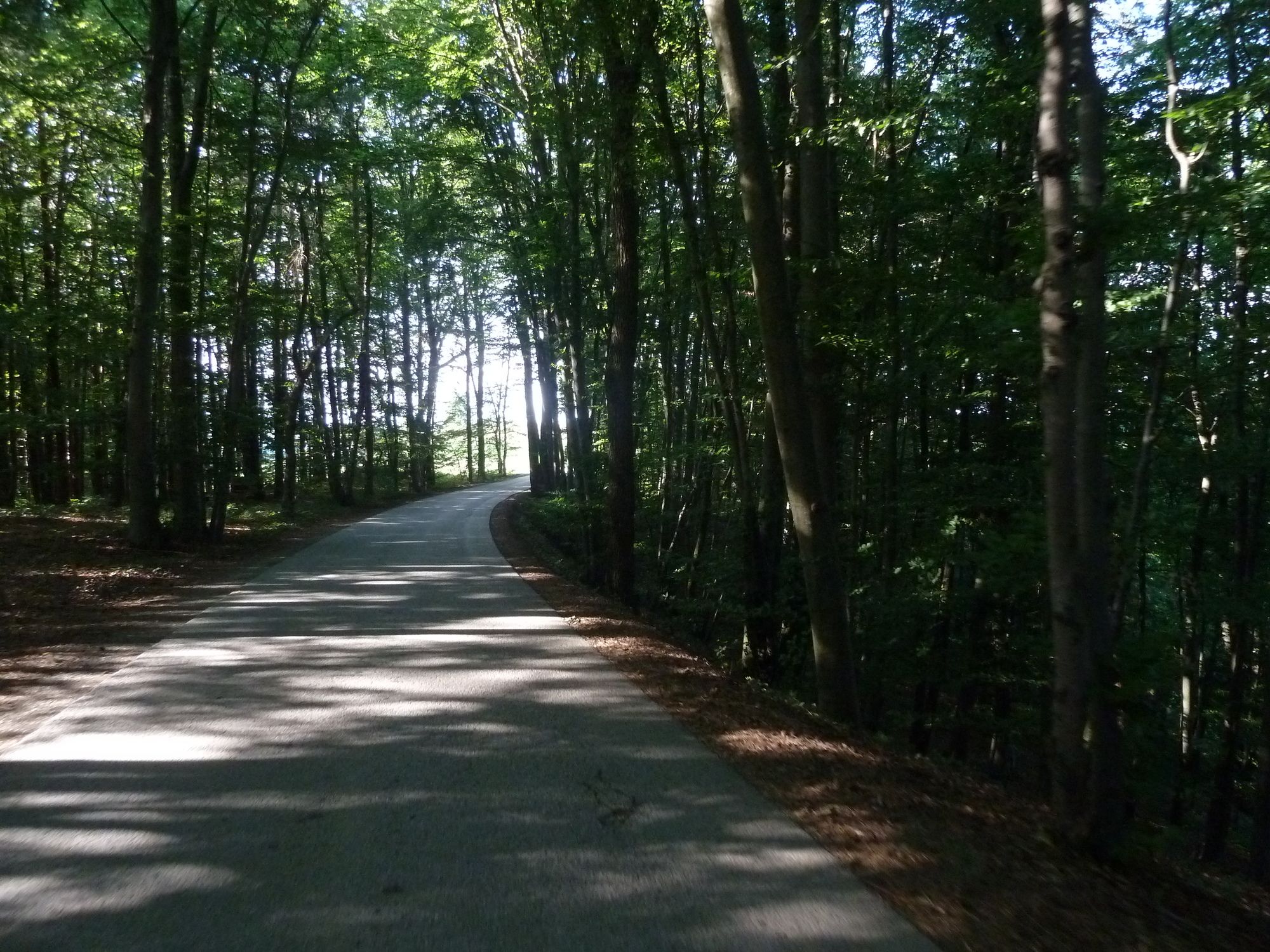
Strassenbelag: Asphalt
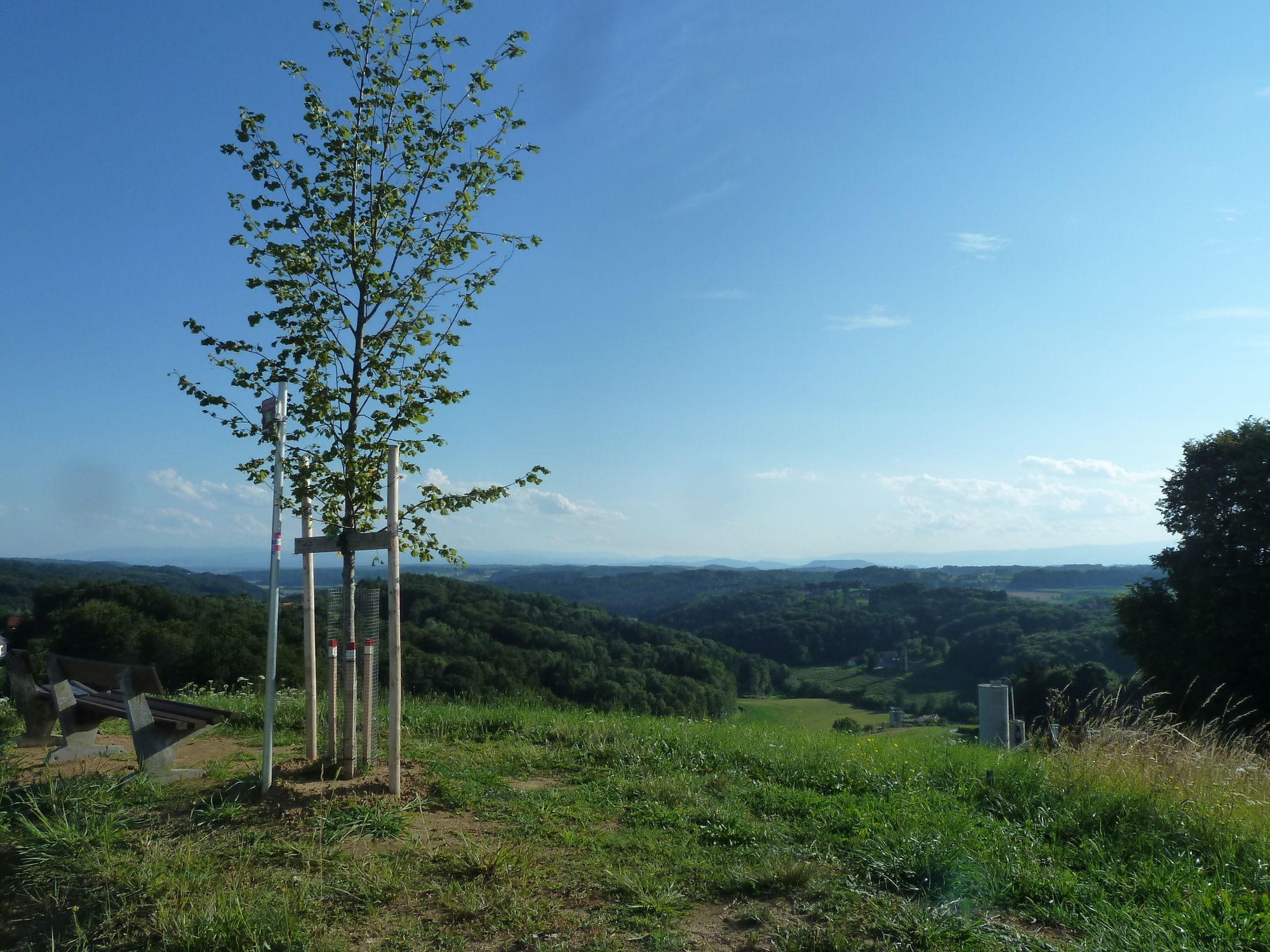
Bergauf: 285 hm
Profil: schwer
Beschilderung: fast perfekt
Start am Marktplatz bei der Kirche
km 1,6 Dörfla
km 8,3 Toniegg
km 19,7 Kirchbach
Anschlussradwege
KB1 Familien-Tour
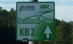
KB2-Backhendl-Tour
KB4-Genuss-Tour
KB5-Buschenschank-Tour
KB6-Bio-Tour#
Fahrradfreundlichste Gemeinde Österreichs 2013 in der Kategorie bis 2.000 Einwohner
Kooperationspreis 2013 des Steirischen Vulkanlandes
E-BIKE KIRCHBACH
Ing. Josef Schuchlenz
Werbung und Finanzen
0664 3158564
josef.schuchlenz@aon.at
www.bio-radeln.com
Strecke abgefahren am 12. Juli 2017 mit dem Rad von Alfredo.


GPS-Koordinaten 46.931851, 15.660700
Parkplatz bei der Kirche
Popular tours in the neighbourhood
-
4,8
Etappe 06 Murradweg Graz - Leibnitz
lightVozi bicikl 43,6 km -
4,2
Wandern mit Aussicht, Gleisdorf
lightPješačenje 13,0 km -
4,2
Bahnwanderweg Feldbach-Bad Gleichenberg
mediumPješačenje 18,8 km -
4,6
Tulpenwanderweg Edelsbach bei Feldbach
lightPješačenje 12,4 km -
3,5
Rundweg 2 (Badenbrunn) des 5-Elemente-Weges
lightPješačenje 7,56 km -
5,0
Kapellenweg Frannach
lightPješačenje 9,36 km -
4,0
5-Elemente Weg Nr. 3
mediumPješačenje 11,2 km -
4,0
Fernitz-Runde von Hausmannstätten Hausmannstätten, Steiermark
lightPješačenje 8,67 km -
5,0
Tatschkerland-Tour
mediumVozi bicikl 51,3 km -
5,0
Mellachbergtour GU5
mediumVozi bicikl 21,4 km
bergfex Tours


Ne propustite ponude i inspiraciju za vaš sljedeći odmor
Your e-mail address has been added to the mailing list.