Murfeld - Buchkogel - Fürstenstand - Waldcafe Thalersee
heavy
Navigate
Navigate
Get this tour on your mobile
Murfeld - Buchkogel - Fürstenstand - Waldcafe Thalersee
heavy
Pješačenje
22,17
km
Scan the QR code and start navigation in the bergfex app

Hiking & Tracking


Distance
22,17
km
Duration
06:14
h
Ascent
728
m
Sea level
333 -
744
m
Track download
Murfeld - Buchkogel - Fürstenstand - Waldcafe Thalersee
heavy
Pješačenje
22,17
km


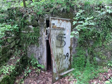
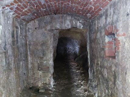
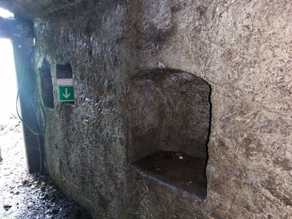
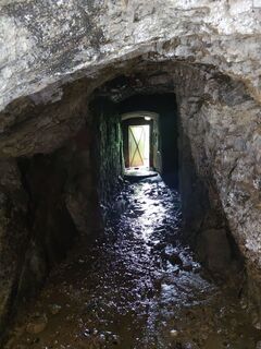
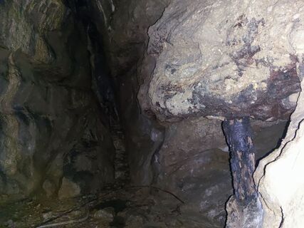
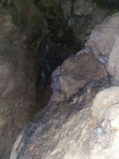
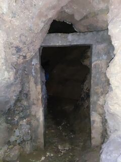
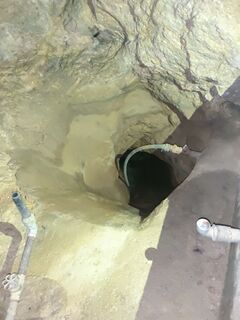
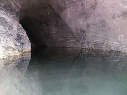
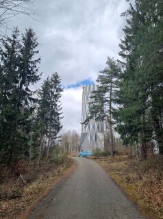
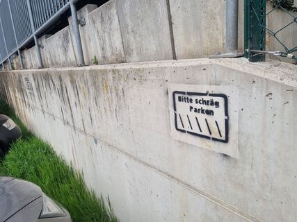
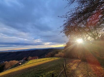
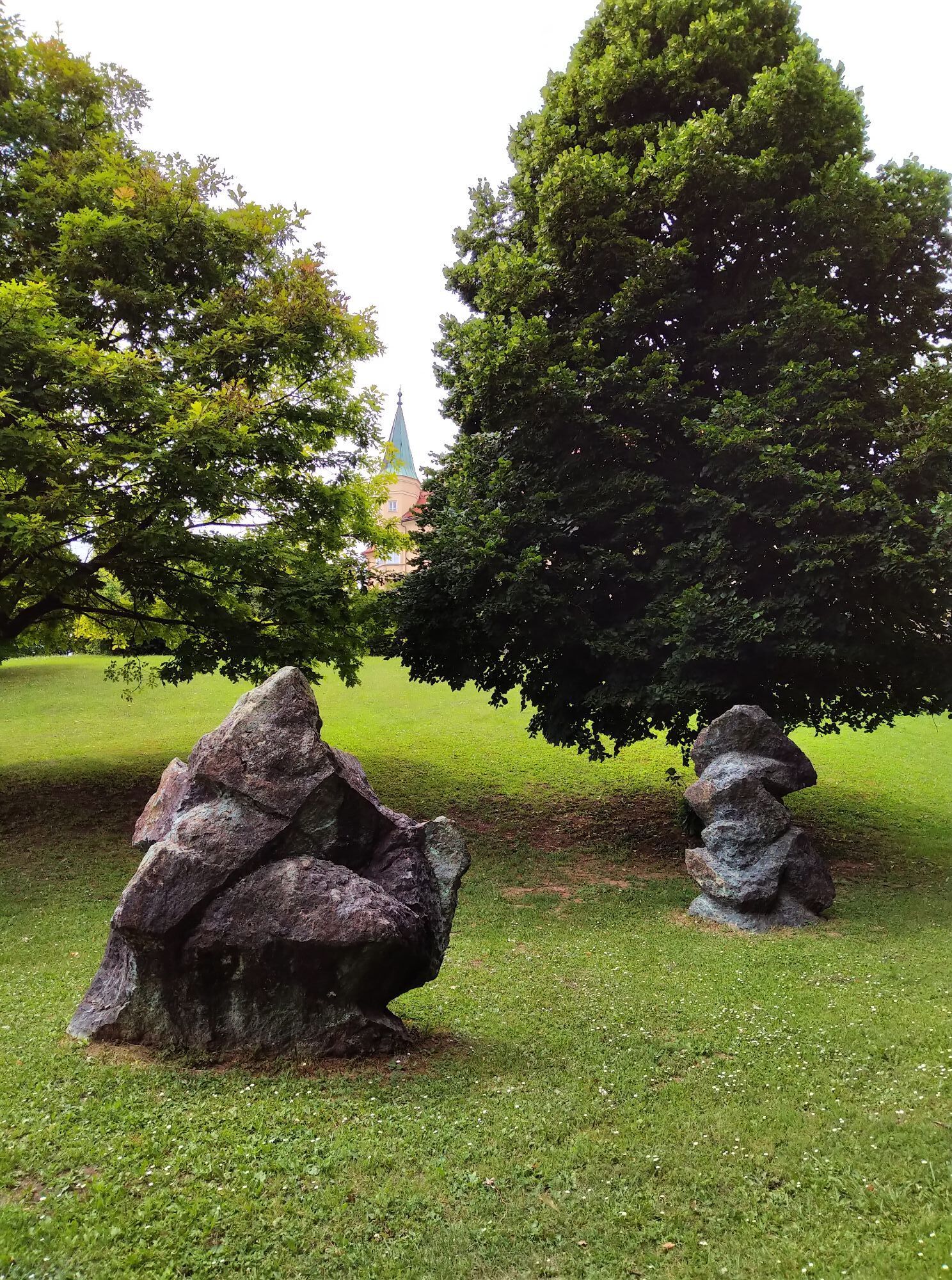
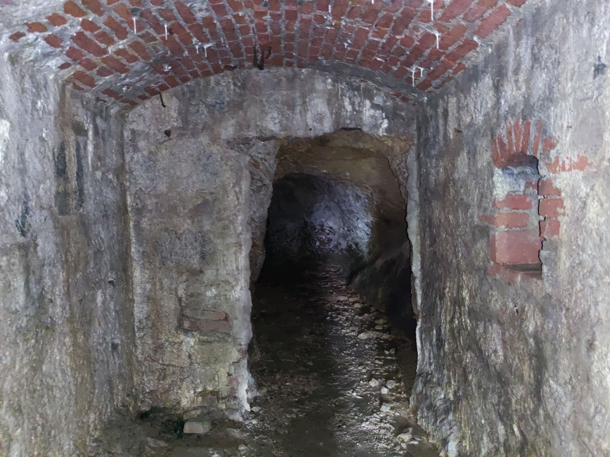
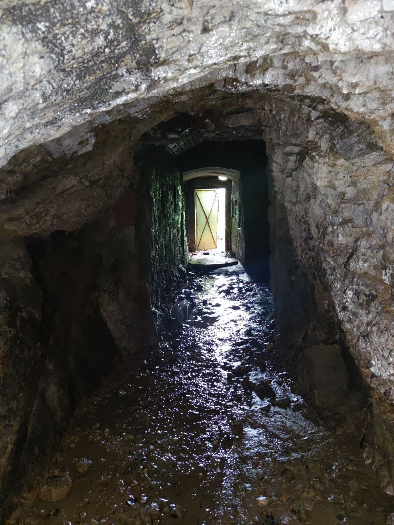
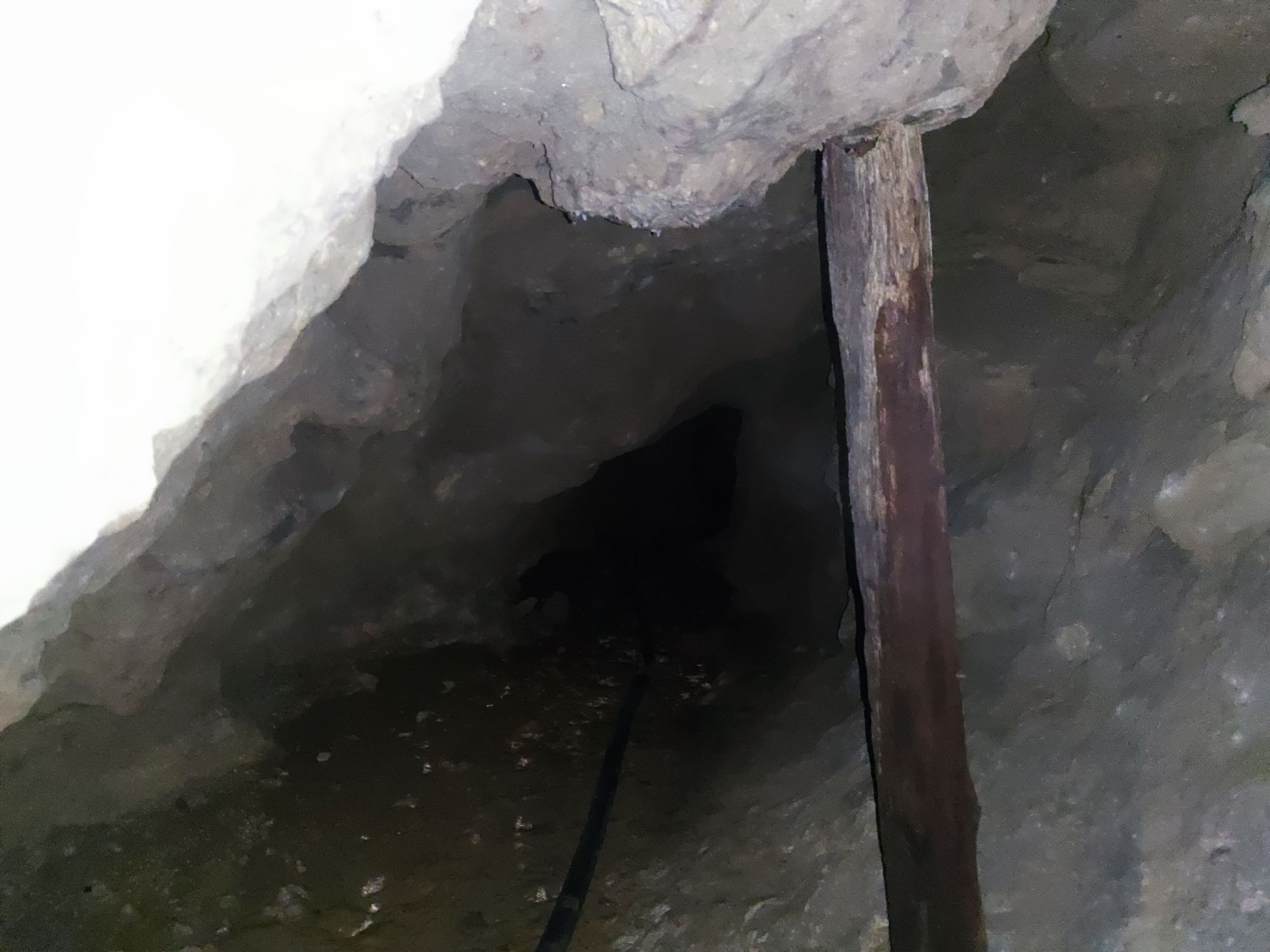
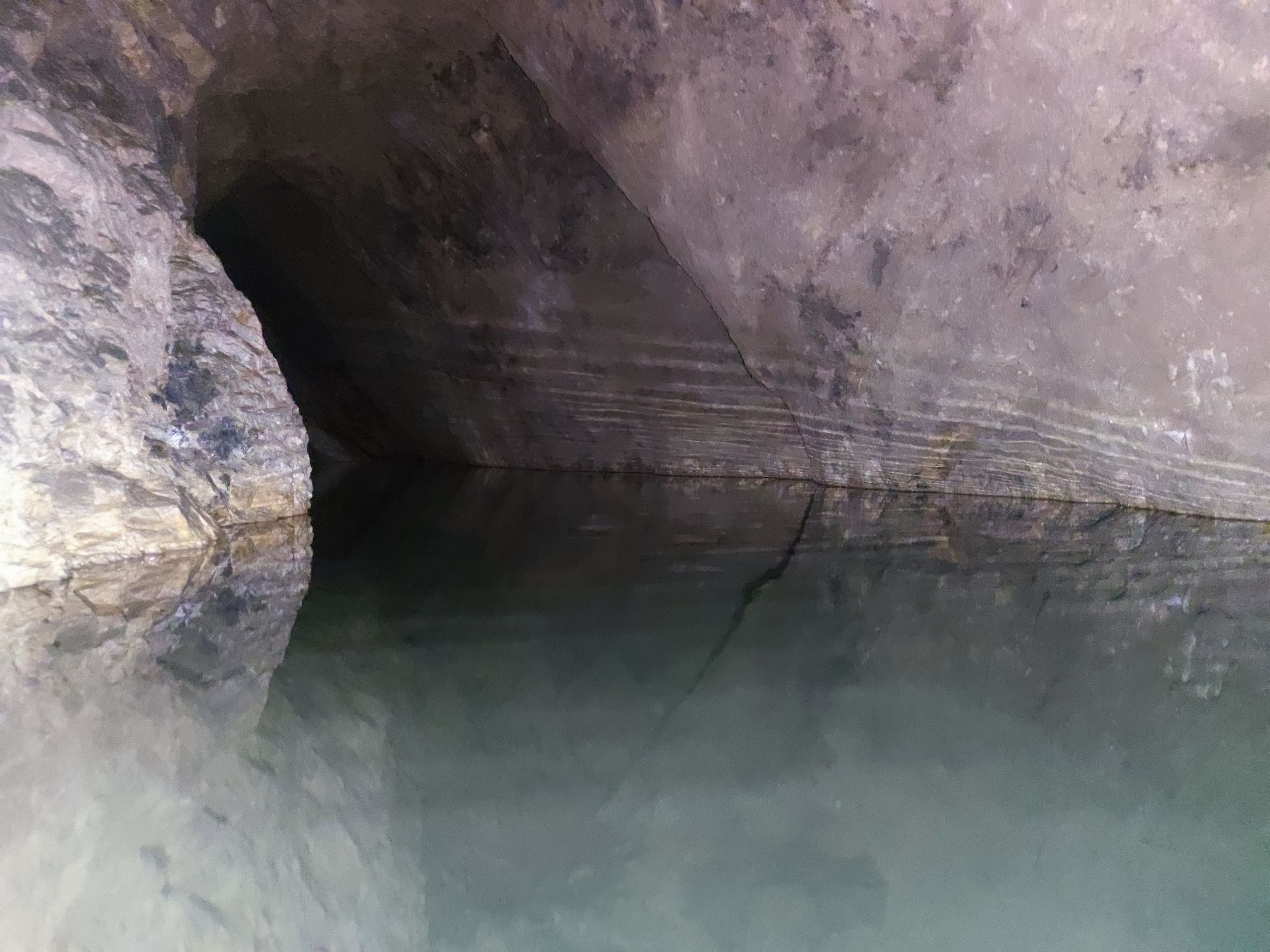
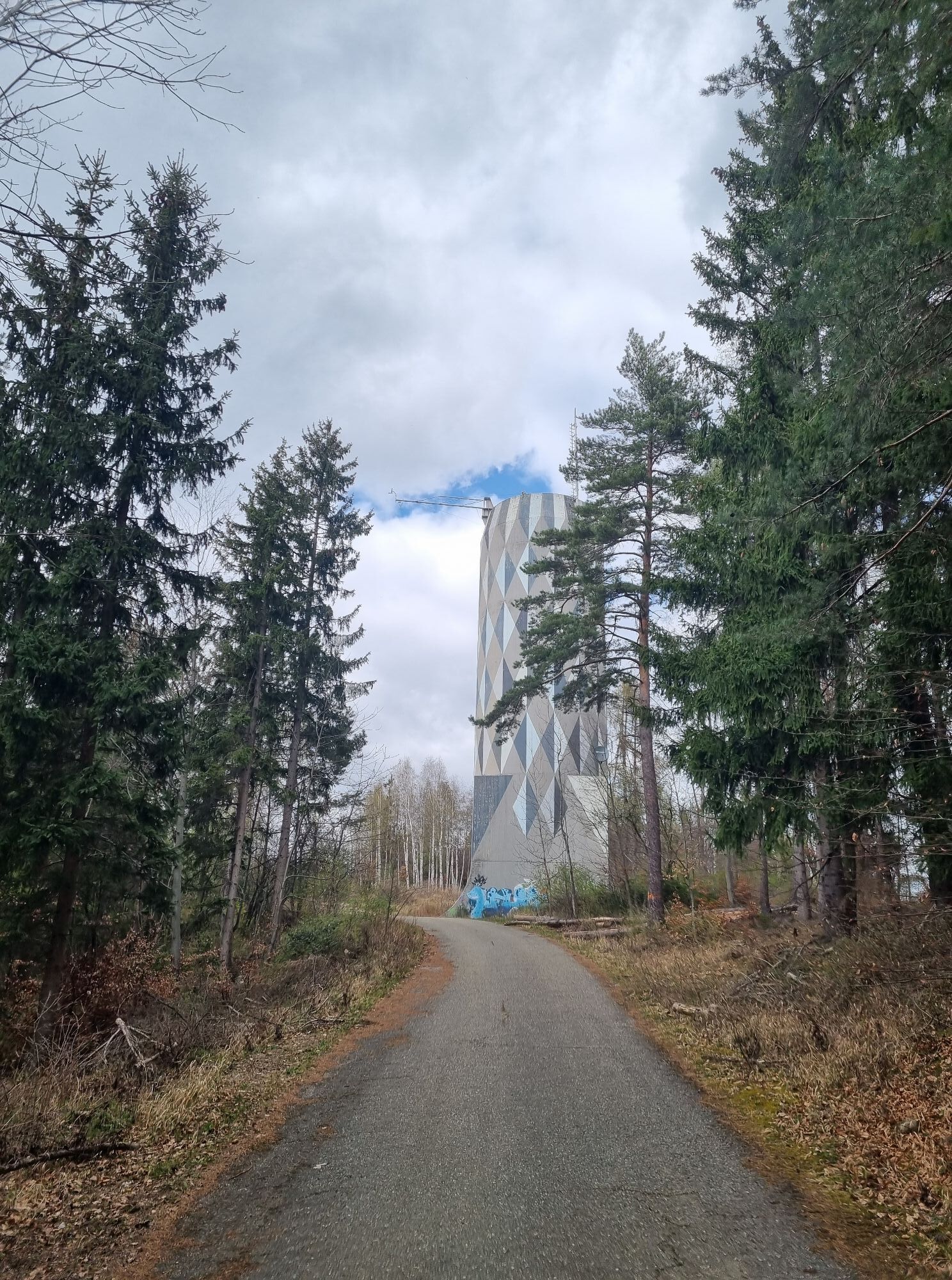
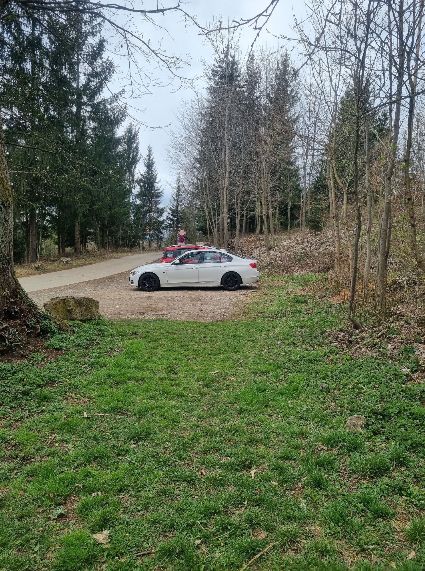
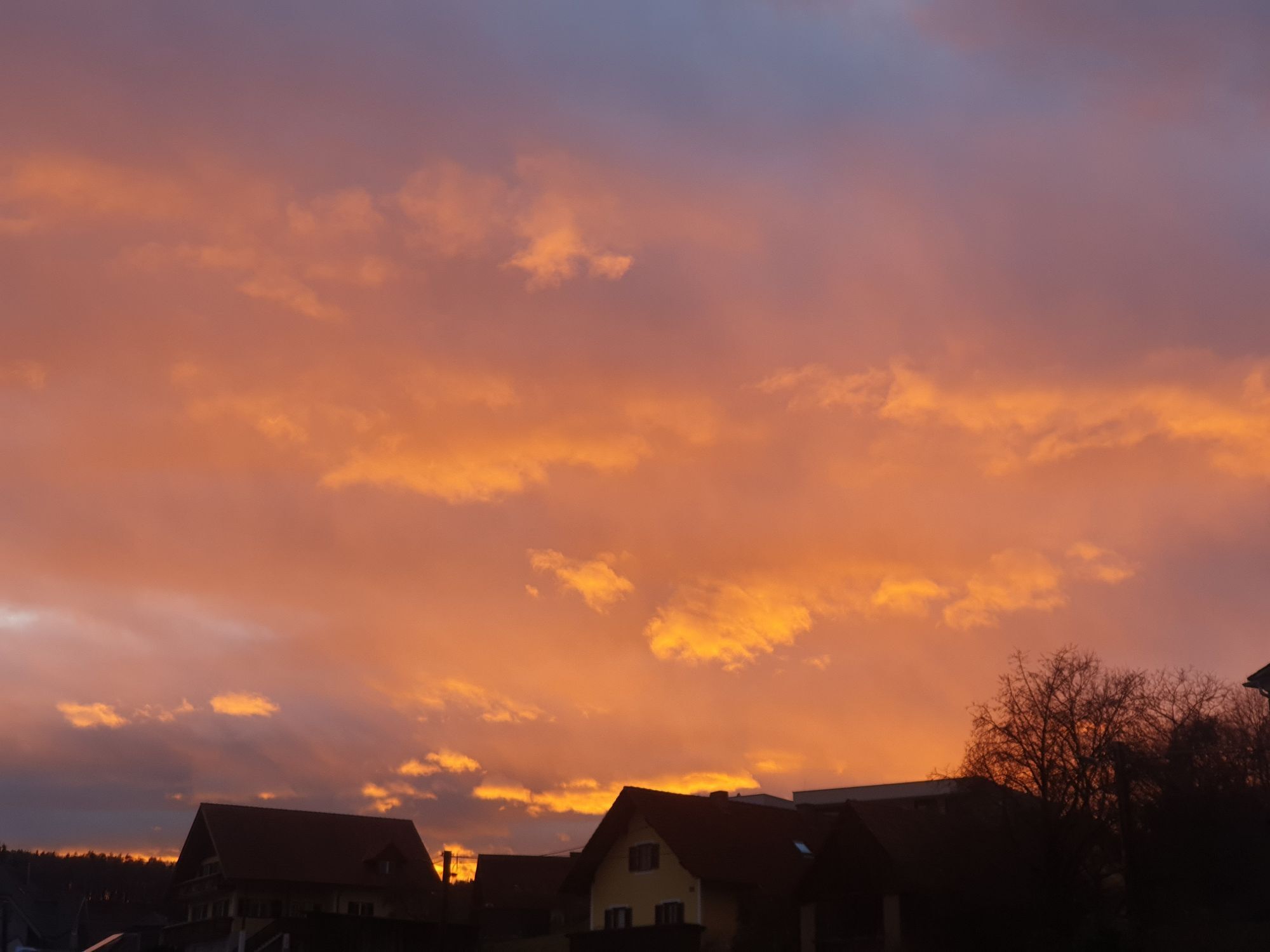
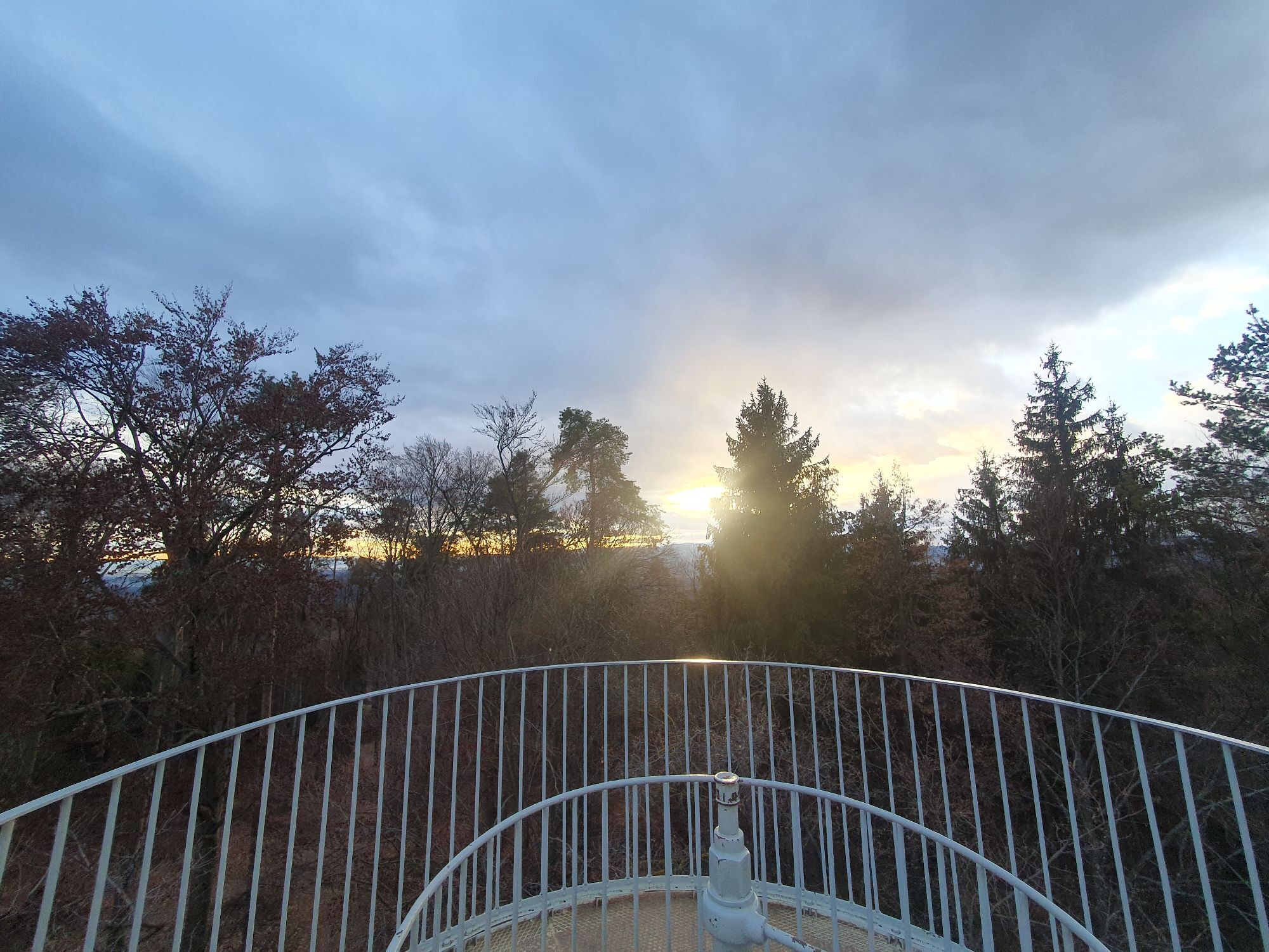
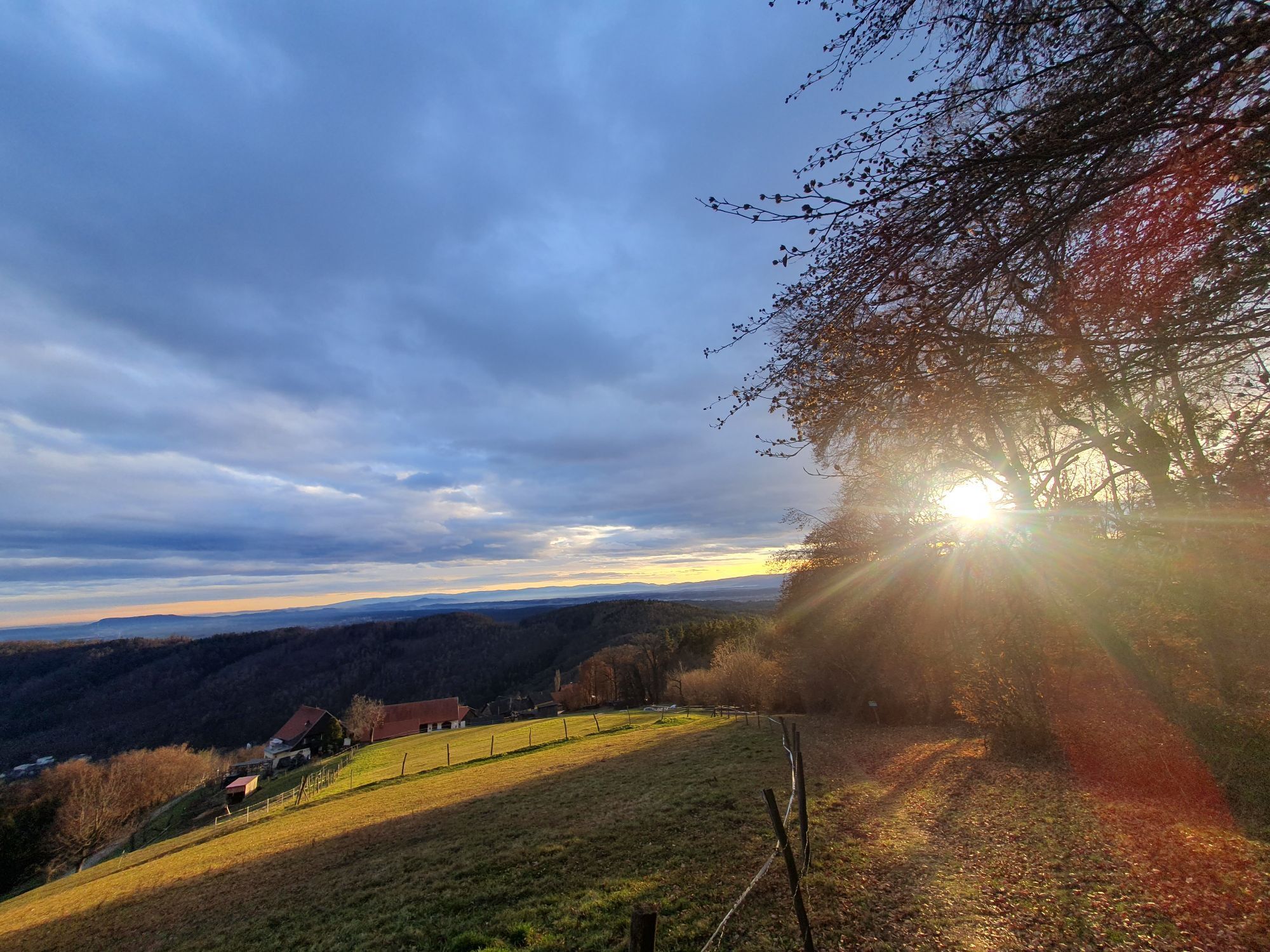
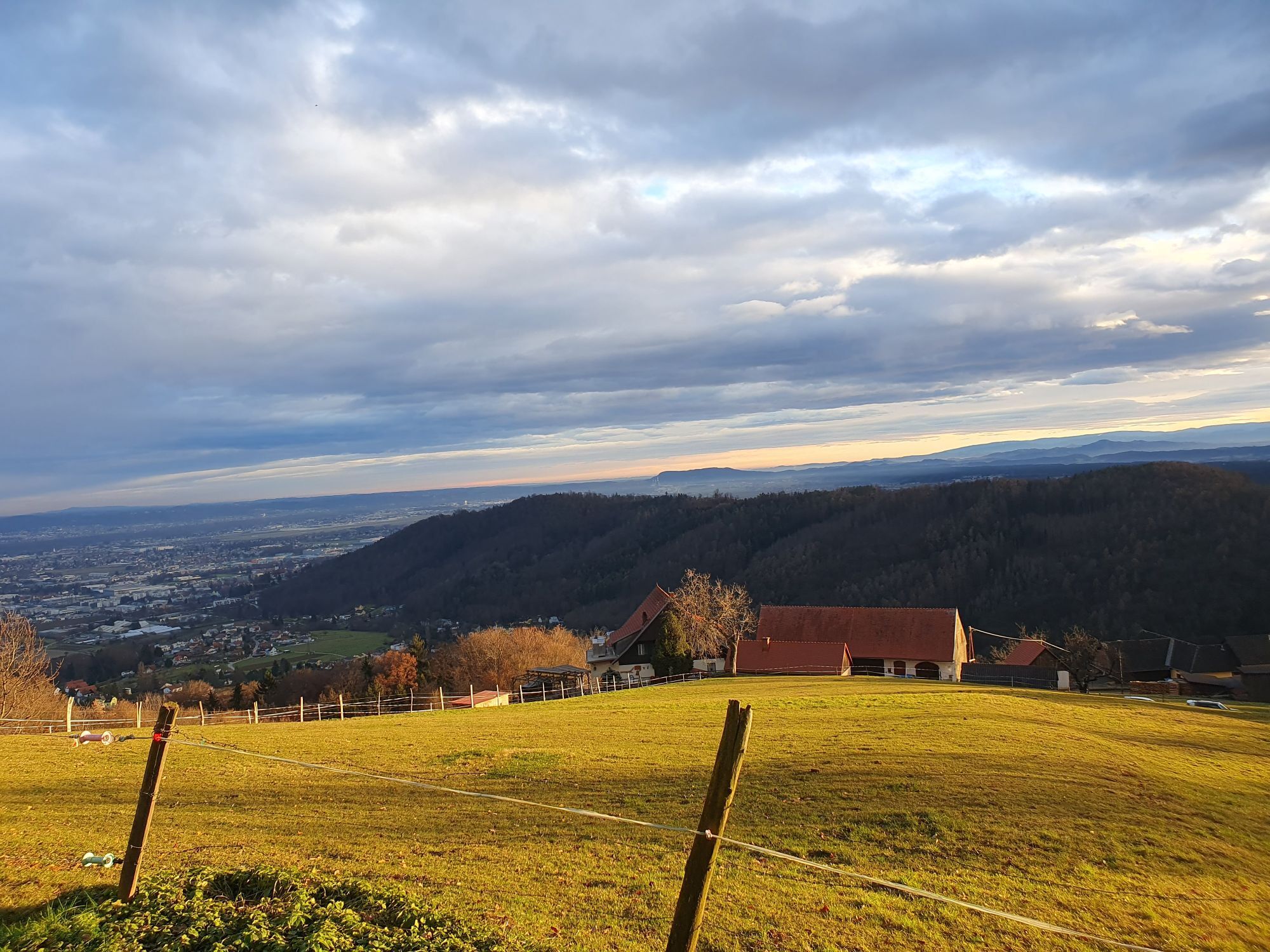
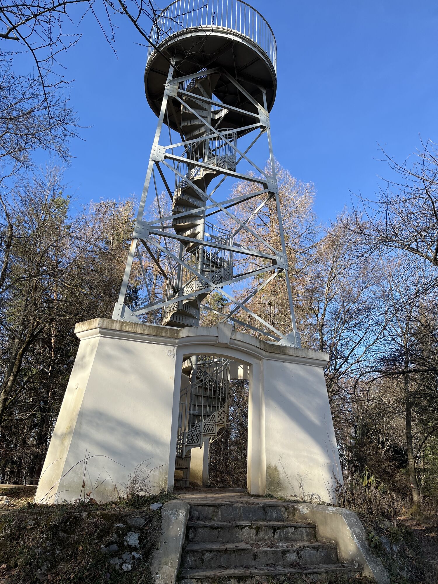
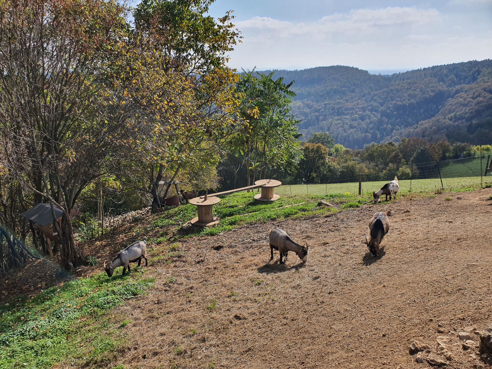
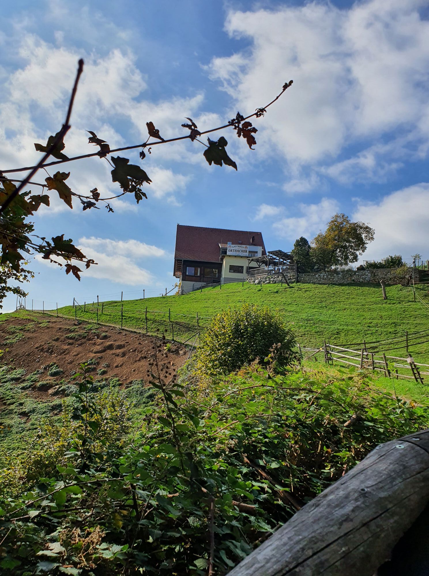
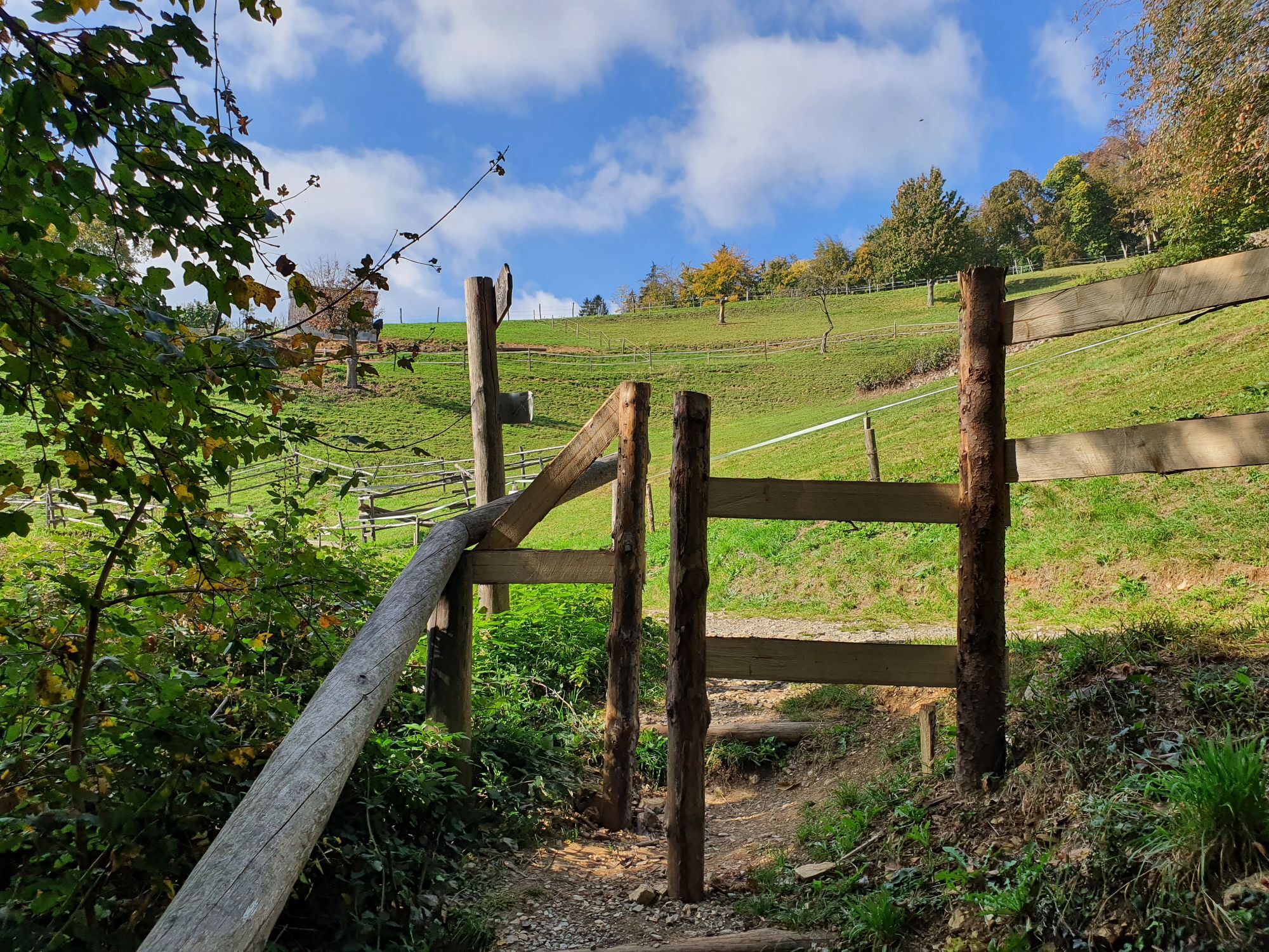
Photos from our users
-
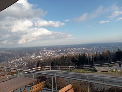
 © Schwarz WilfriedCreated on 03.01.2025
 -

 © Alfa159TICreated on 09.06.2024
 -
 © Alfa159TICreated on 09.06.2024
 -
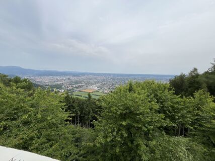
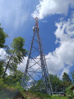
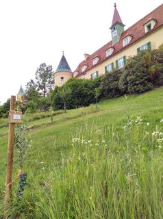
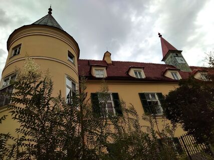
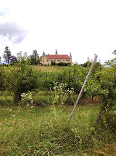
 © Gabriele M.Created on 20.05.2024
 -
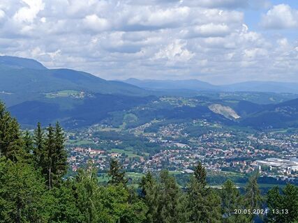
 © Gabriele M.Created on 20.05.2024
 -
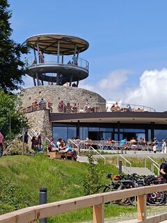
 © Gabriele M.Created on 20.05.2024
 -

 © Blackbread TtCreated on 30.07.2023
 -
 © Blackbread TtCreated on 30.07.2023
 -

 © Gogo0701Created on 21.07.2023
 -
 © G.A.Created on 13.07.2023
 -
 © G.A.Created on 13.07.2023
 -
 © G.A.Created on 13.07.2023
 -
 © G.A.Created on 13.07.2023
 -
 © G.A.Created on 13.07.2023
 -
 © G.A.Created on 13.07.2023
 -
 © G.A.Created on 13.07.2023
 -
 © G.A.Created on 13.07.2023
 -
 © G.A.Created on 13.07.2023
 -
 © G.A.Created on 13.07.2023
 -
 © G.A.Created on 13.07.2023
 -
 © G.A.Created on 13.07.2023
 -
 © Mia76Created on 01.05.2023
 -
 © Mia76Created on 01.05.2023
 -
 © Mia76Created on 01.05.2023
 -
 © Mia76Created on 01.05.2023
 -
 © Mia76Created on 01.05.2023
 -
 © Mia76Created on 01.05.2023
 -
 © Mia76Created on 01.05.2023
 -
 © Mia76Created on 01.05.2023
 -
 © Mia76Created on 01.05.2023
 -
 © Mia76Created on 01.05.2023
 -
 © Mia76Created on 01.05.2023
 -
 © HaraldKCreated on 02.04.2023
 -

 © TommatoreCreated on 02.04.2023
 -
 © TommatoreCreated on 02.04.2023
 -

 © BARIDIETCreated on 05.01.2023
 -
 © BARIDIETCreated on 05.01.2023
 -
 © BARIDIETCreated on 05.01.2023
 -
 © BARIDIETCreated on 05.01.2023
 -

 © Wolfgang Fladischer 1Created on 02.01.2023
 -
 © Wolfgang Fladischer 1Created on 02.01.2023
 -
 © Wolfgang Fladischer 1Created on 02.01.2023
 -
 © Wolfgang Fladischer 1Created on 02.01.2023
 -
 © Wolfgang Fladischer 1Created on 02.01.2023
 -
 © Wolfgang Fladischer 1Created on 02.01.2023
 -
 © Karin RemlingCreated on 19.10.2022
 -
 © Karin RemlingCreated on 19.10.2022
 -
 © Karin RemlingCreated on 19.10.2022


Route
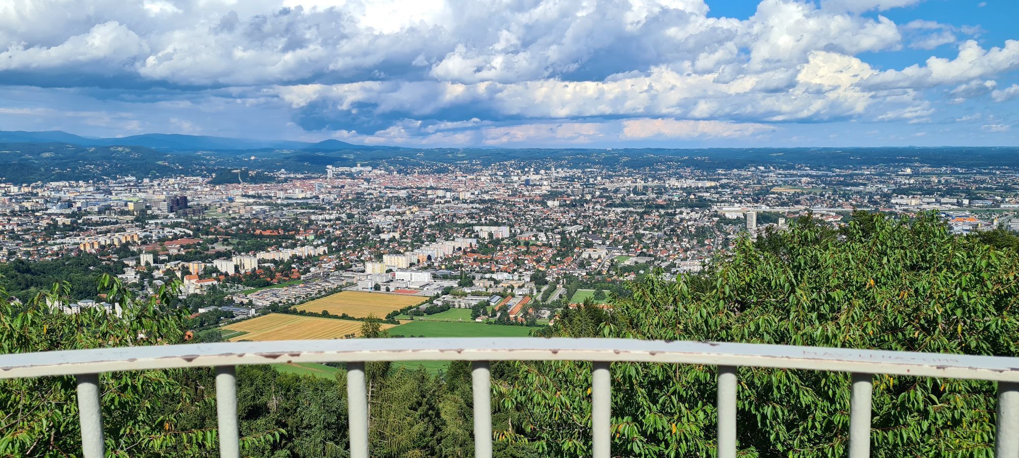
Murfeld
(334 m)
Neighbourhood
0,4 km
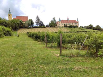
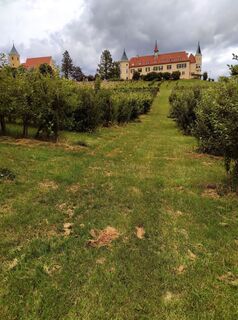
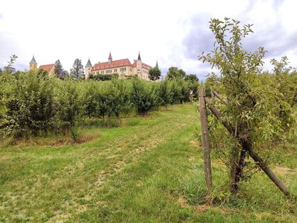
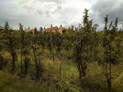
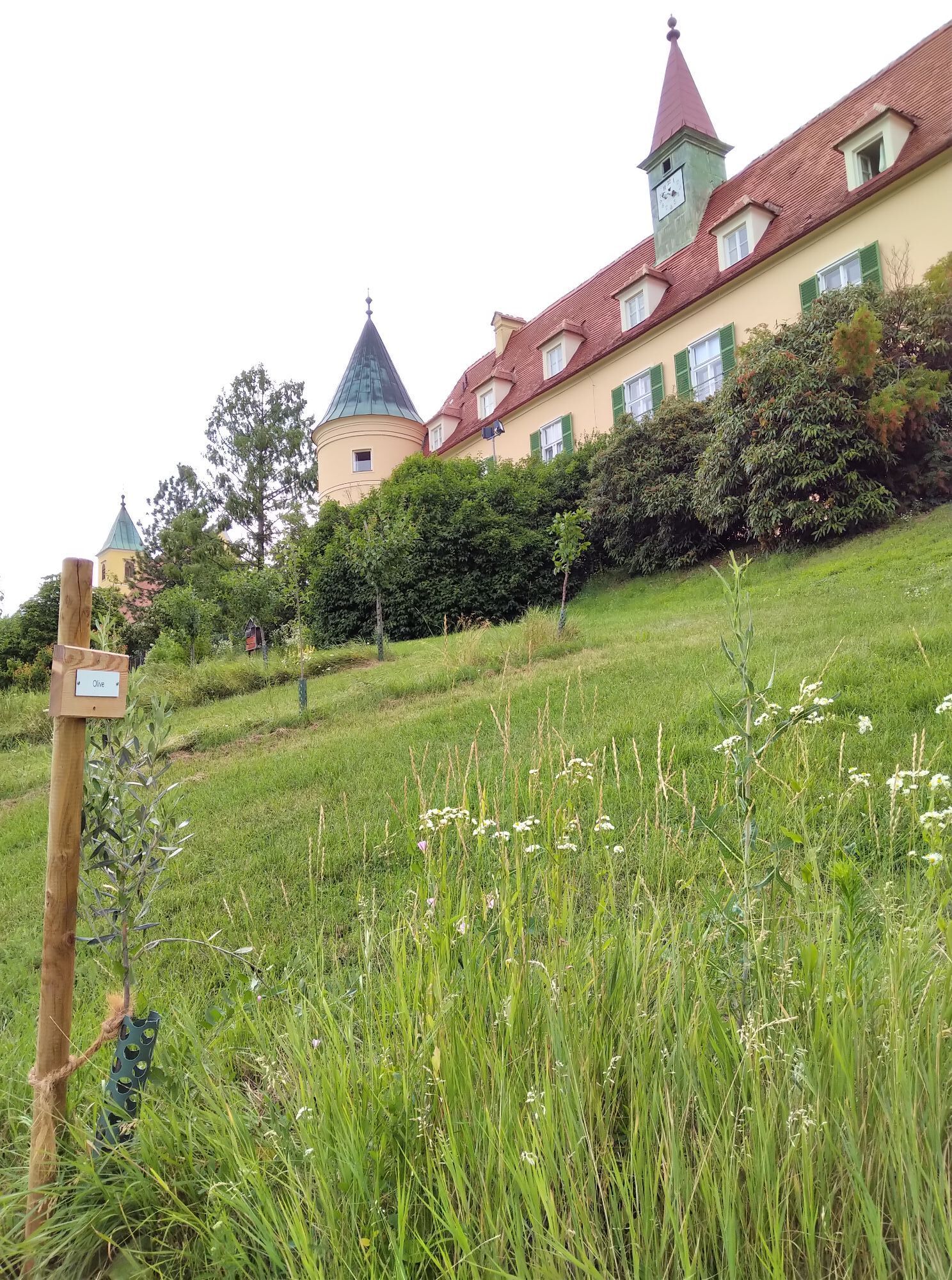
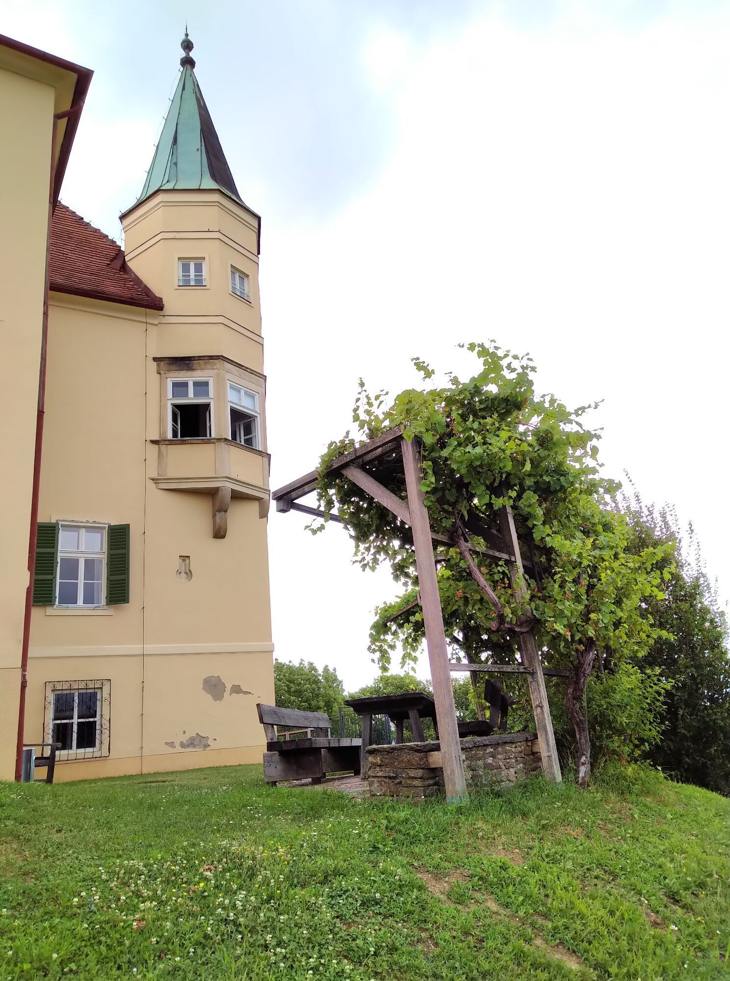
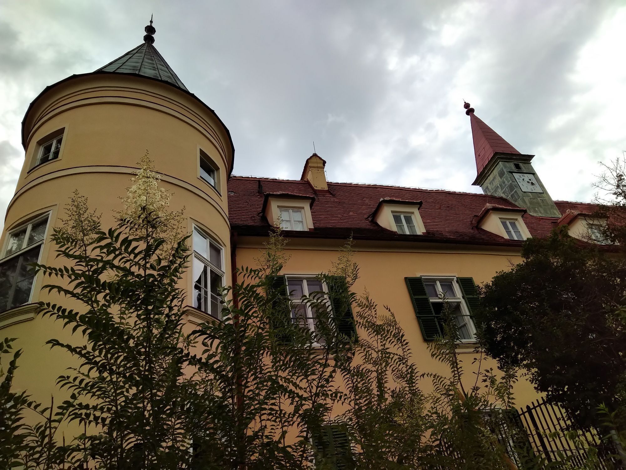
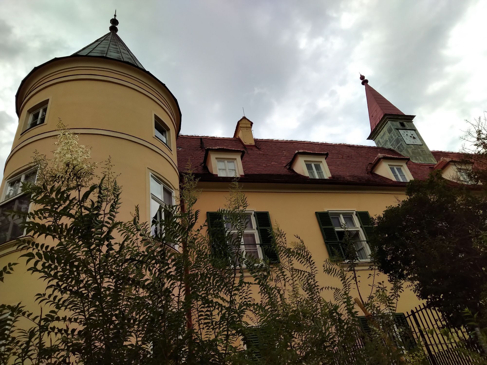
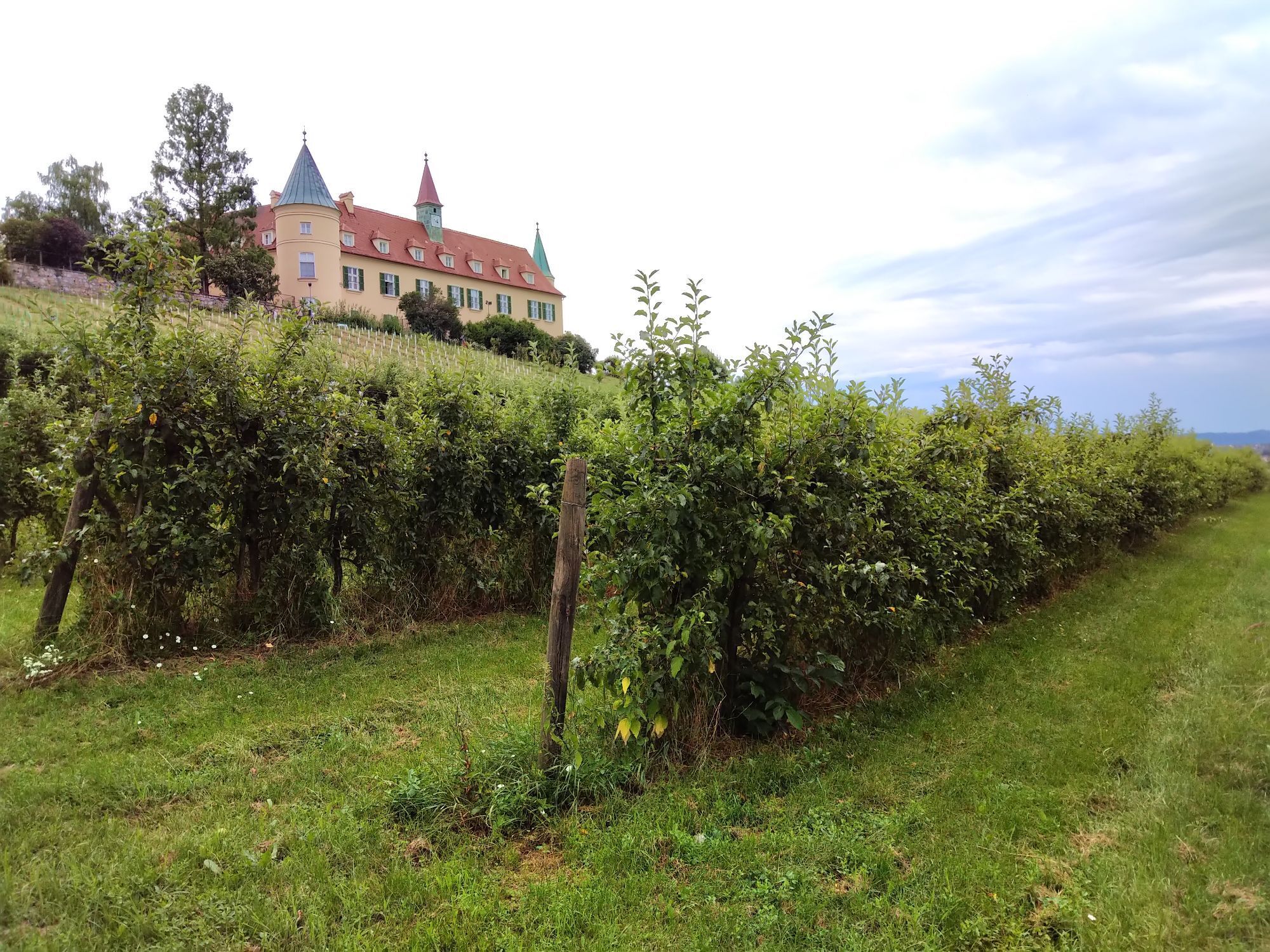
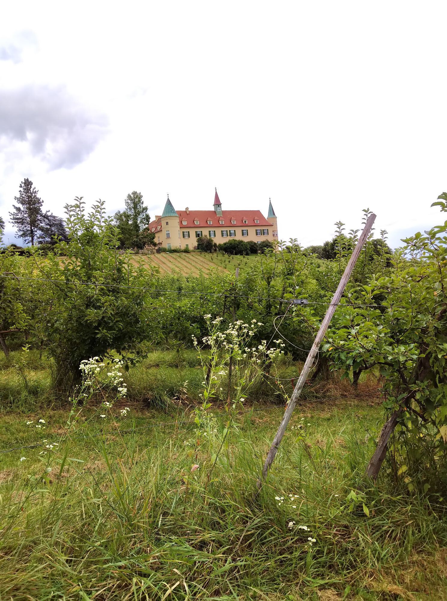
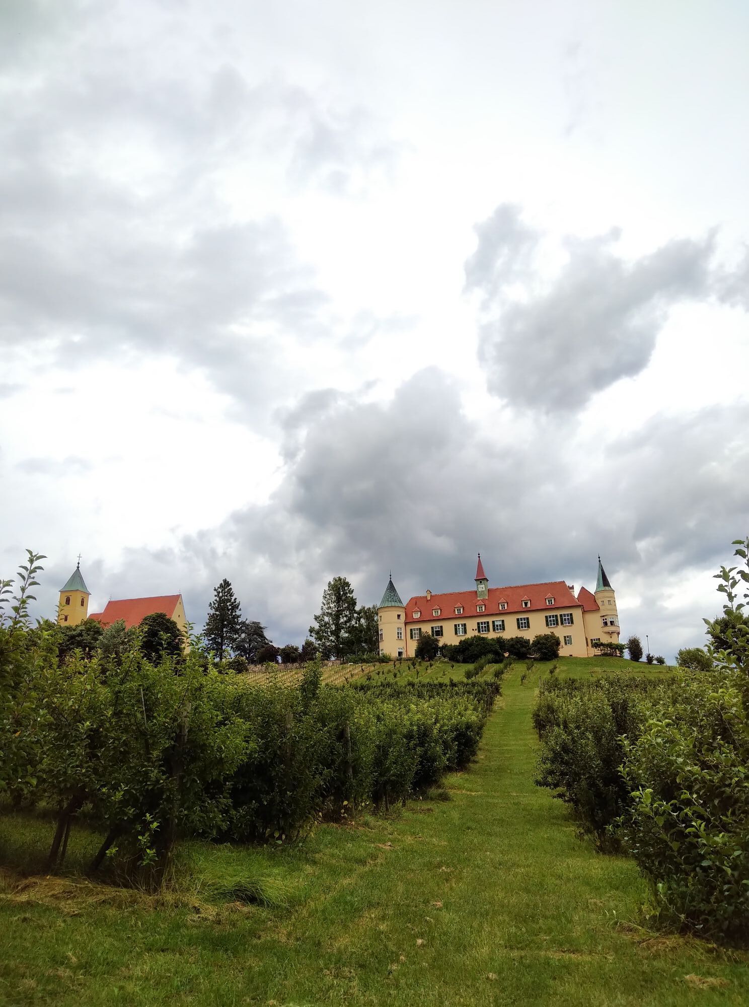
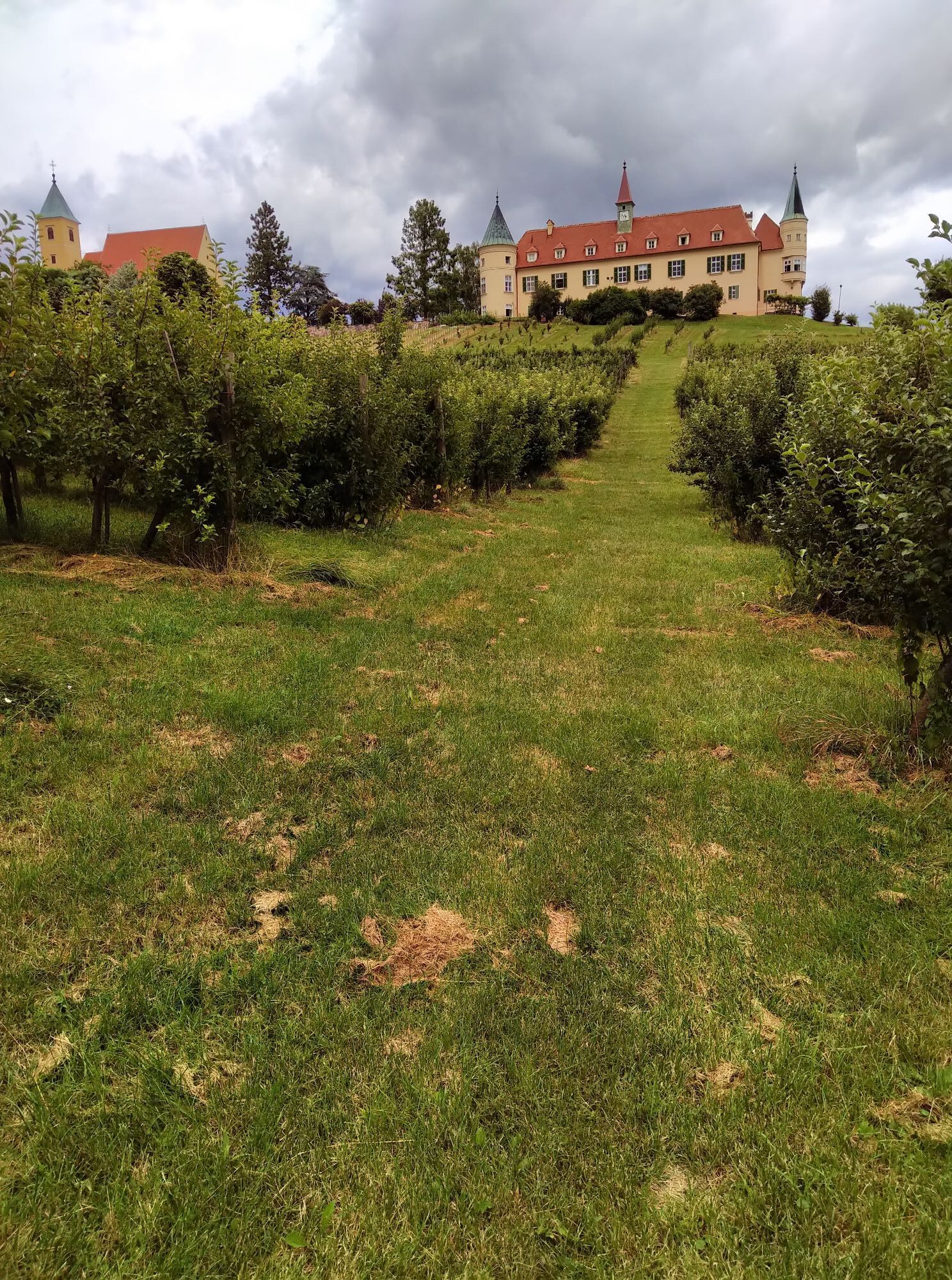
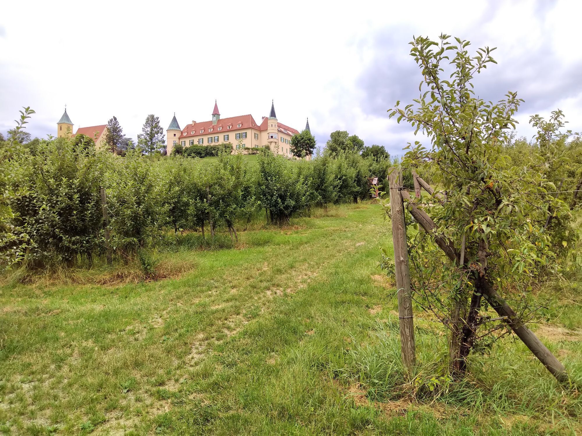
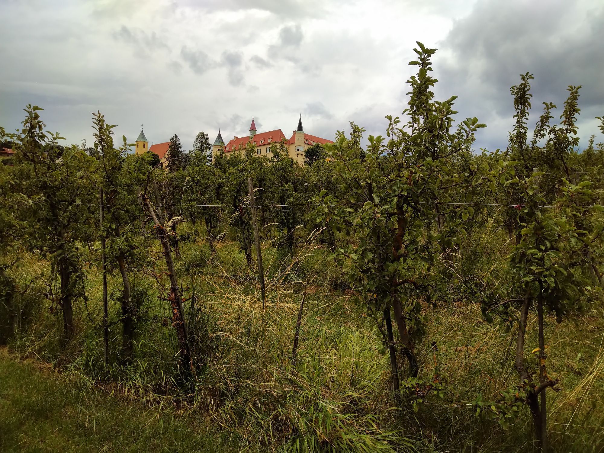
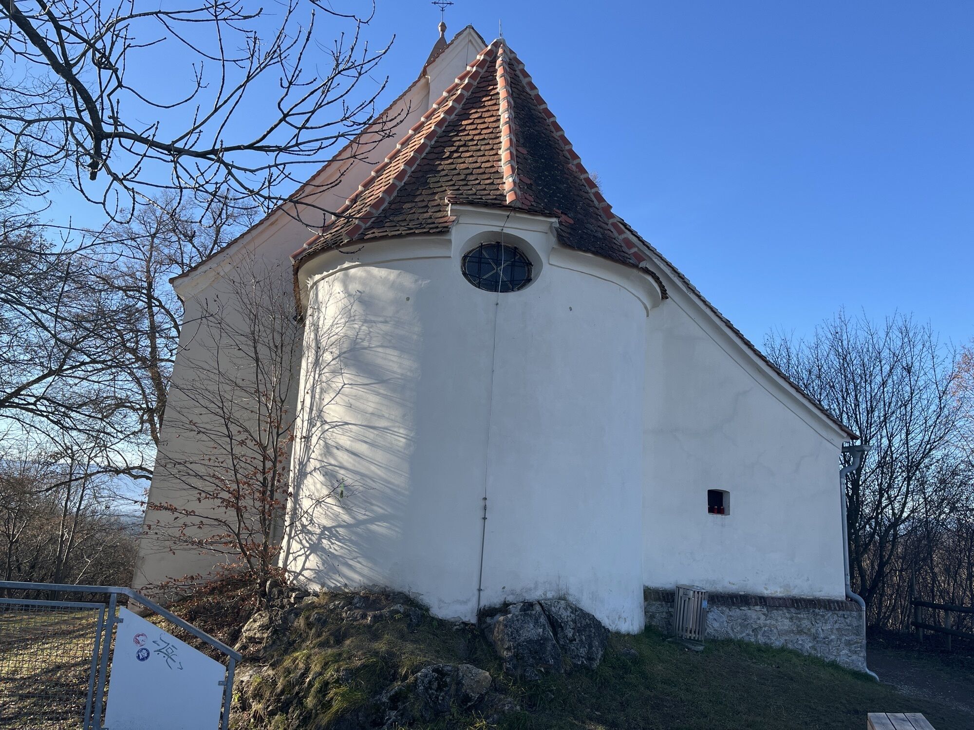
Schlosskirche Sankt Martin
(411 m)
Place of worship
7,7 km
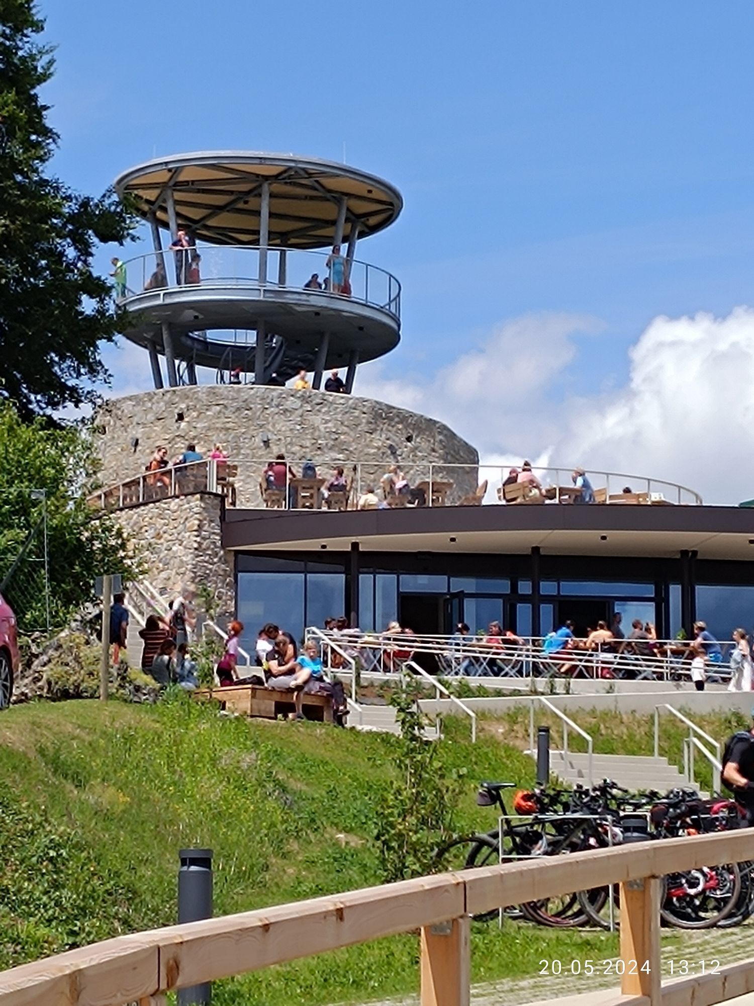
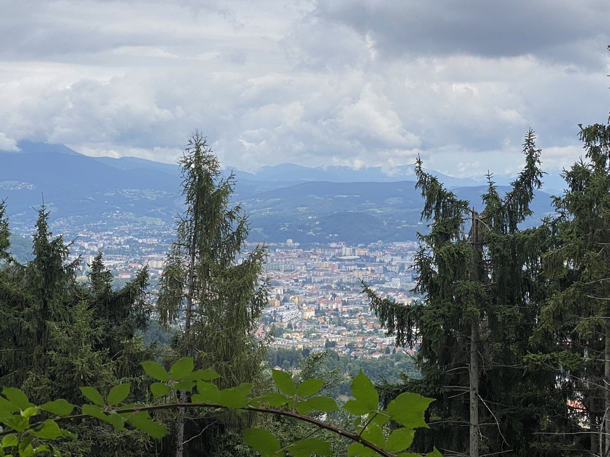
Buchkogel
(658 m)
Summit
9,0 km
Ölberg
(559 m)
Summit
11,8 km
Gaisbergsattel
(527 m)
Mountain saddle
14,3 km
Mühlberg
(720 m)
Summit
16,6 km
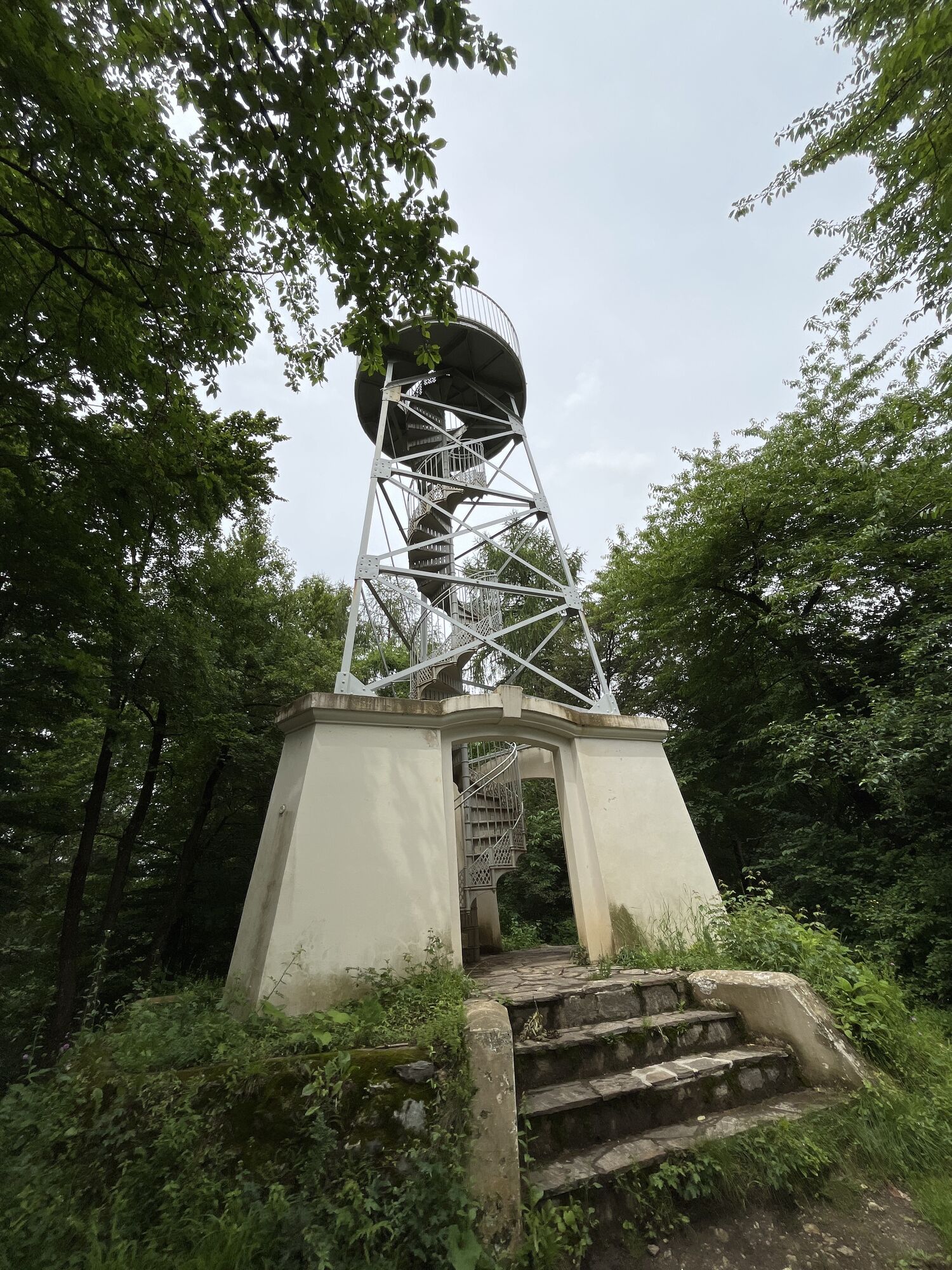
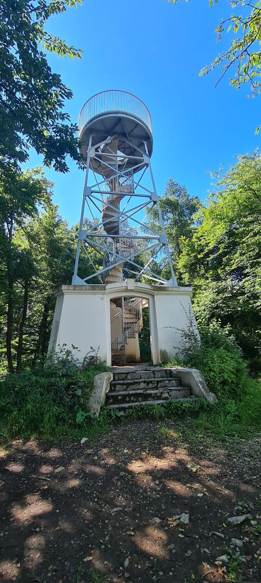
Fürstenstand
(758 m)
Summit
18,2 km
Mühlberg
(720 m)
Summit
19,8 km
Route
Murfeld - Buchkogel - Fürstenstand - Waldcafe Thalersee
heavy
Pješačenje
22,17
km
Murfeld
(334 m)
Neighbourhood
0,4 km
Puntigam
(345 m)
Neighbourhood
3,3 km
Webling
(353 m)
Neighbourhood
6,8 km
Schlosskirche Sankt Martin
(411 m)
Place of worship
7,7 km
Sankt Martin
(413 m)
Neighbourhood
7,7 km
Buchkogel
(658 m)
Summit
9,0 km
Buchkogelsattel
(555 m)
Corridor/terrain
10,2 km
Buchkogelsattel
(539 m)
Mountain saddle
10,6 km
Ölberg
(559 m)
Summit
11,8 km
Einöde
(452 m)
Settlement
13,0 km
Gaisbergsattel
(527 m)
Mountain saddle
14,3 km
Gaisberg
(636 m)
Summit
15,0 km
Mühlberg
(720 m)
Summit
16,6 km
Fürstenstand
(758 m)
Summit
18,2 km
Mühlberg
(720 m)
Summit
19,8 km
No reviews yet
Popular tours in the neighbourhood
-
4,1
Erlebnisweg sebastian RELOADED®
lightPješačenje 7,50 km -
4,4
Rein ist Vergnügen
lightPješačenje 11,6 km -
4,7
Frühlingswanderung Leber, Hohe Rannach, Leber
lightPješačenje 6,05 km -
3,8
Mühlbacher Hütte Rundwanderung über den Kaschlsteig
mediumPješačenje 13,7 km -
4,7
Rundwanderweg Graz-Mariatrost
mediumPješačenje 11,4 km -
4,7
Johann u. Paul-Rudolfswarte-St.Martin Runde
lightPješačenje 6,39 km -
3,7
Rettenbachklamm - Platte - Basilika Maria Trost
lightPješačenje 6,30 km -
4,3
Wanderung der Sinne: Rettenbachklamm - Mariatrost
lightPješačenje 5,64 km -
3,6
Stift Rein - Pleschkogel Rundwanderung
lightPješačenje 15,8 km -
4,0
Tour Schöckl ab Stattegg Fuß der Leber bis zum Westgipfel
mediumPješačenje 13,3 km
bergfex Tours

Over 550.000 tour suggestions, detailed maps and an intuitive route planner make the app a must-have for all nature enthusiasts.

Ne propustite ponude i inspiraciju za vaš sljedeći odmor
Subscribe to the newsletter
Error
An error has occurred. Please try again.
Thank you for your registration
Your e-mail address has been added to the mailing list.
Tours throughout Europe
Austrija
Švicarska
Njemačka
Italija
Slovenija
Francuska
Nizozemska
Belgija
Poljska
Lihtenštajn
Češka
Slovačka
Španija
Hrvatska
Bosna i Hercegovina
Luksemburg
Andora
Portugal
Island
Ujedinjeno Kraljevstvo
Irska
Grčka
Albanija
Sjeverna Makedonija
Malta
Norveška
Crna Gora
Moldova
Kosovo
Mađarska
San Marino
Rumunjska
Estonija
Latvija
Bjelorusija
Cipar
Litva
Srbija
Bugarska
Monako
Danska
Švedska
Finska