


Photos from our users
-
 © SandyCreated on 14.12.2025
 -
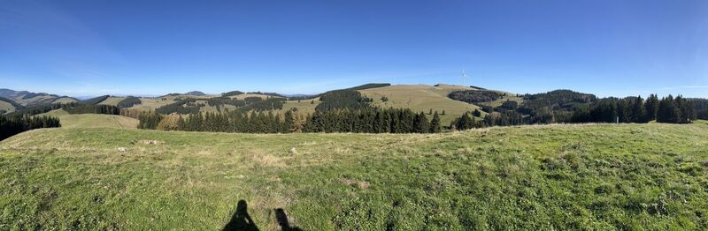
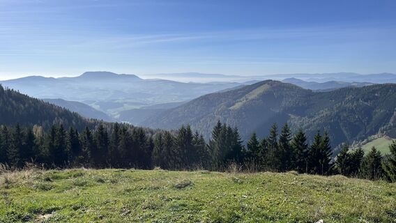
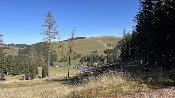
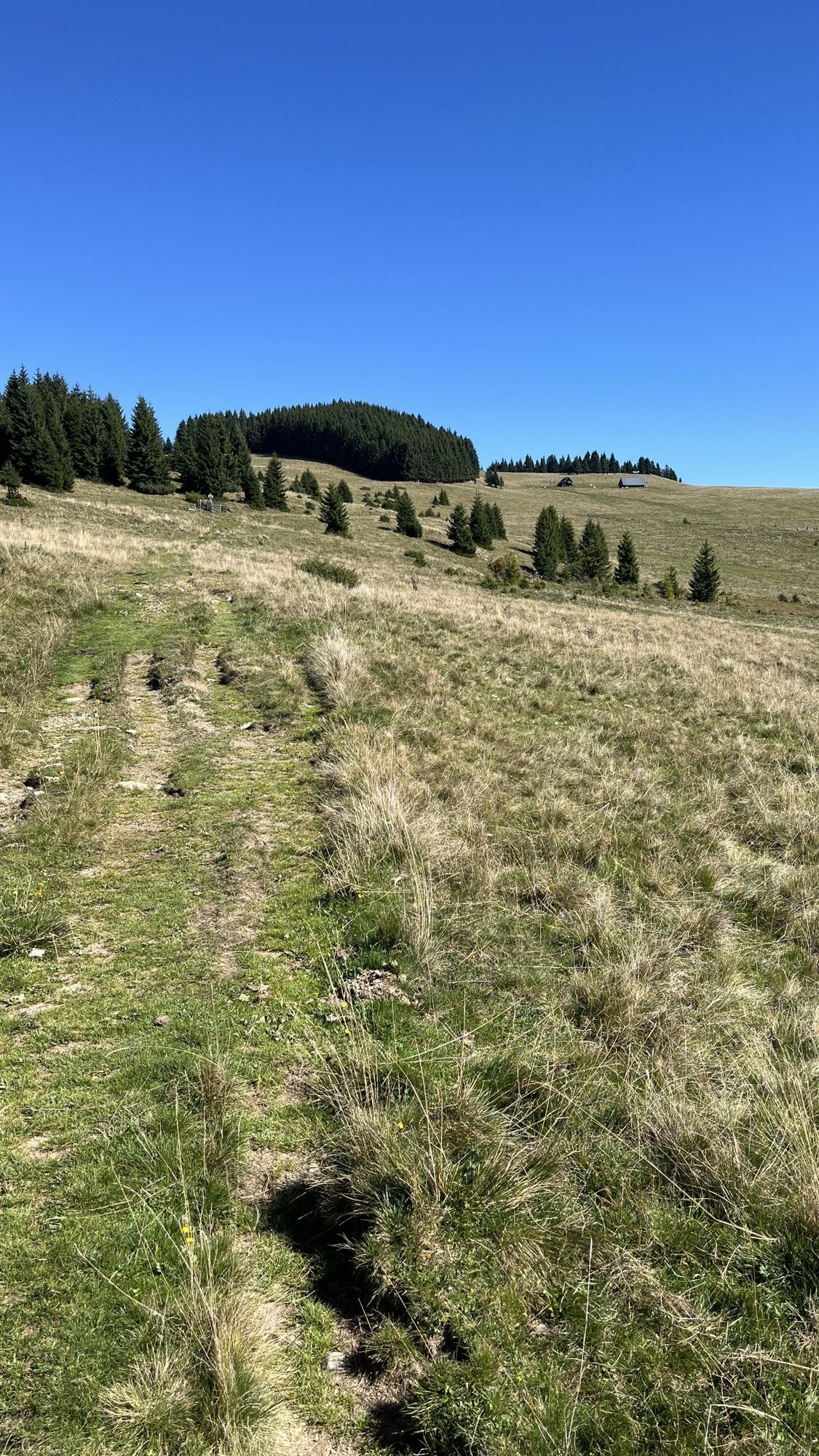
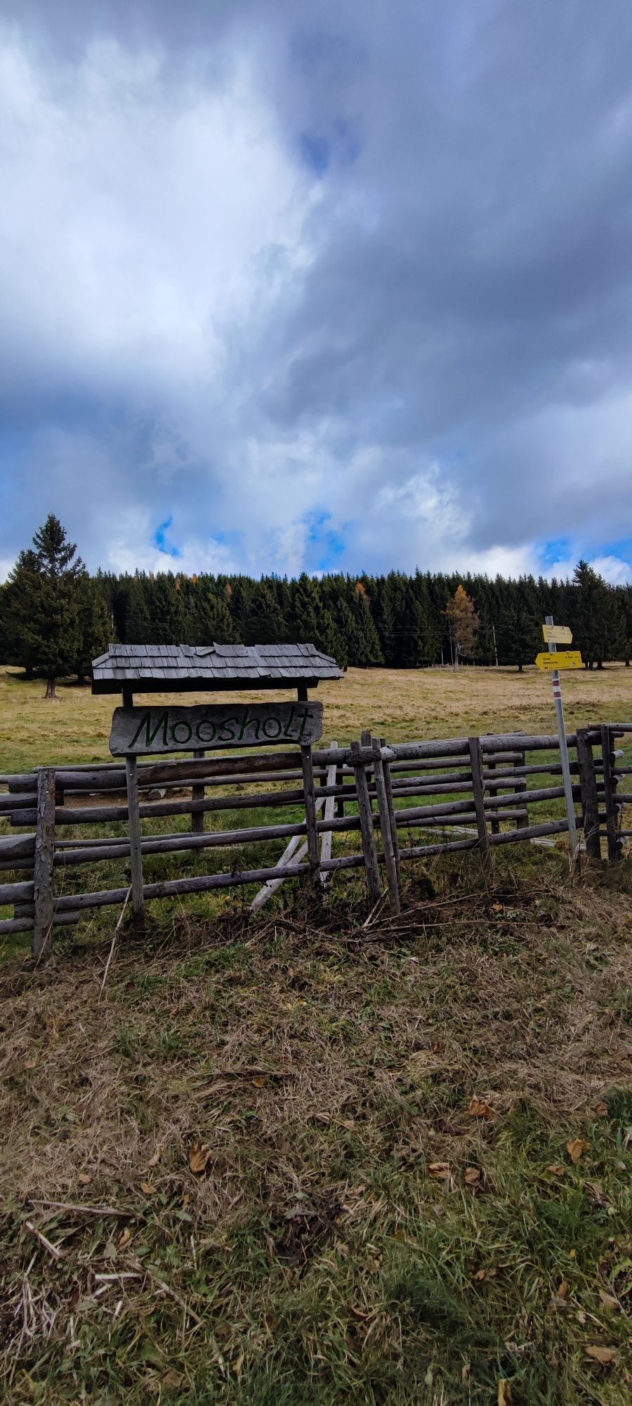
 © Zahrni78Created on 29.11.2025
 -
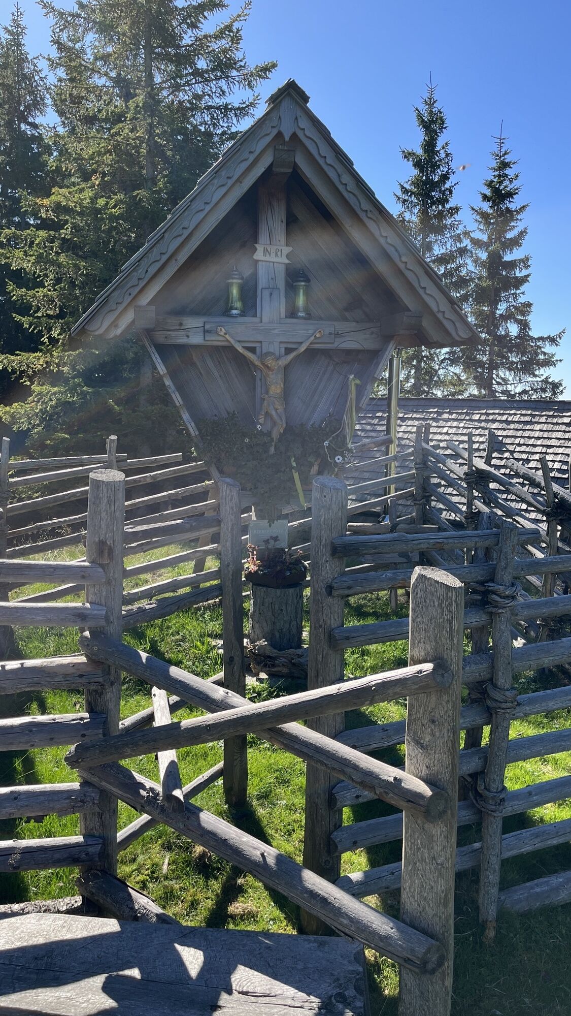
 © Zahrni78Created on 29.11.2025
 -
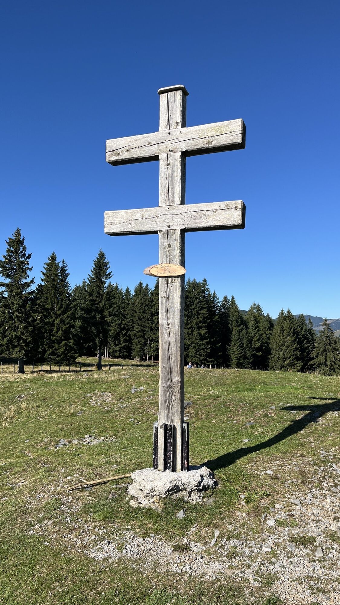
 © Zahrni78Created on 29.11.2025
 -
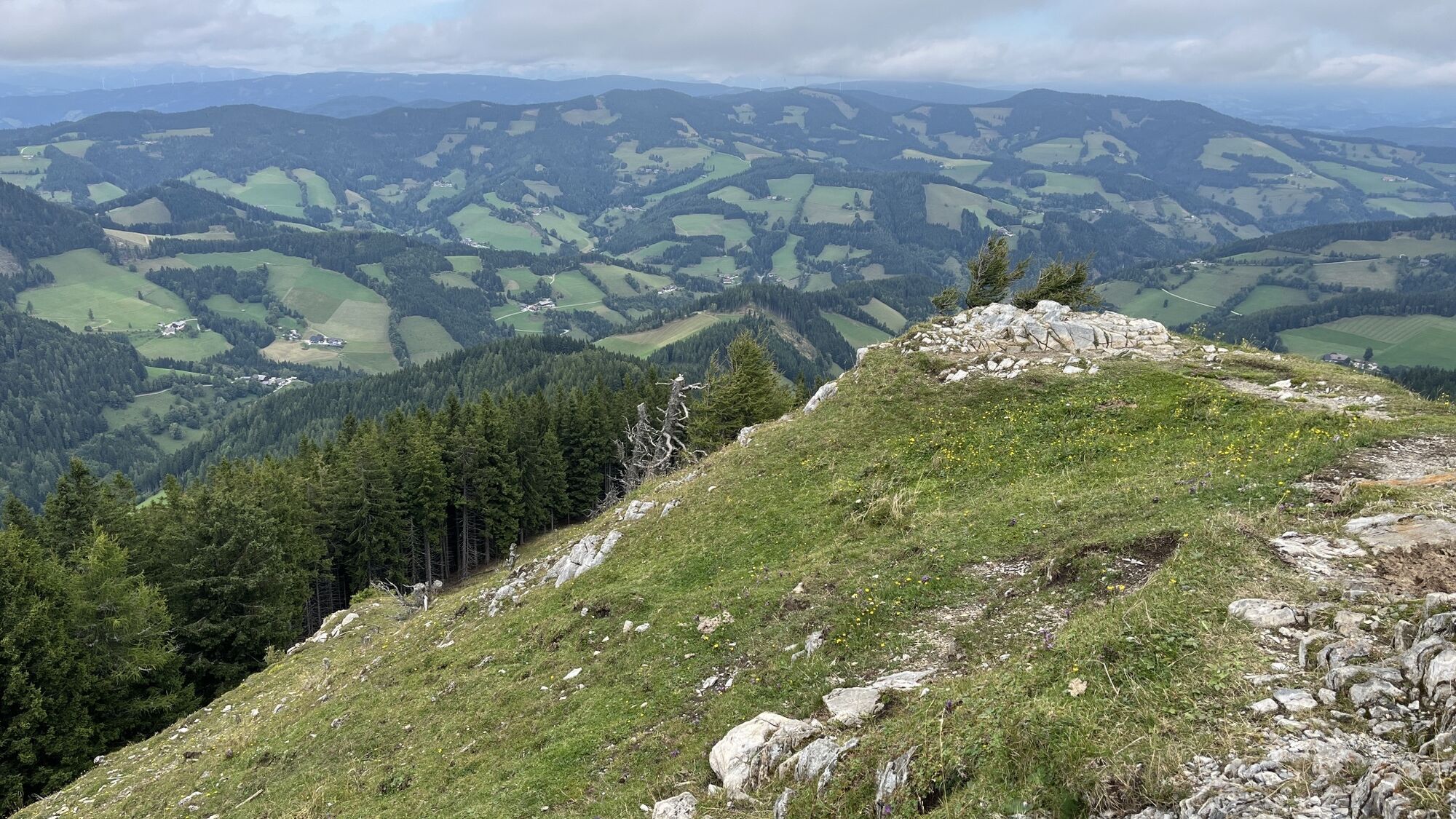
 © Zahrni78Created on 29.11.2025
 -
 © Tamara Schwarz 2Created on 23.11.2025
 -

 © petra zöchnerCreated on 01.11.2025
 -

 © Othmar EngelmannCreated on 21.09.2025
 -
 © Othmar EngelmannCreated on 21.09.2025
 -
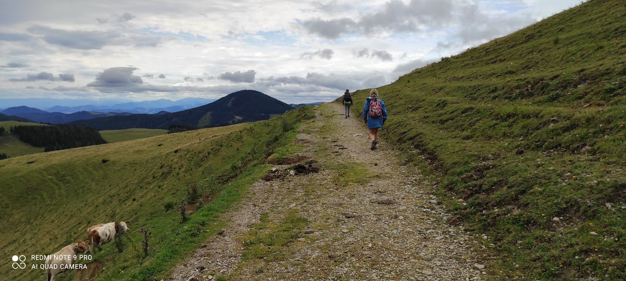
 © Mandi_3000Created on 20.09.2025
 -
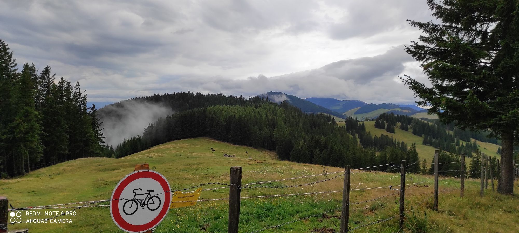
 © Mandi_3000Created on 20.09.2025
 -
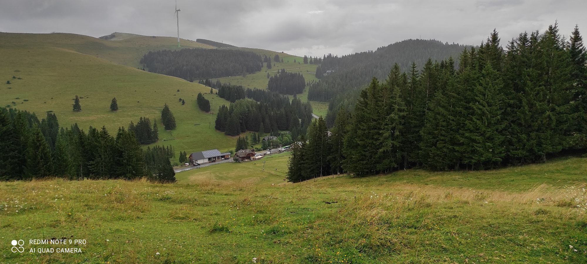
 © Mandi_3000Created on 20.09.2025
 -
 © Mandi_3000Created on 20.09.2025
 -
 © Mandi_3000Created on 07.09.2025
 -
 © Mandi_3000Created on 07.09.2025
 -
 © Alex NovakCreated on 11.06.2025
 -
 © Alex NovakCreated on 11.06.2025
 -
 © Alex NovakCreated on 11.06.2025
 -
 © Alex NovakCreated on 11.06.2025
 -
 © Alex NovakCreated on 11.06.2025
 -
 © Yeti am BergCreated on 21.10.2024
 -
 © Yeti am BergCreated on 21.10.2024
 -
 © Yeti am BergCreated on 21.10.2024
 -
 © Yeti am BergCreated on 21.10.2024
 -
 © Yeti am BergCreated on 21.10.2024
 -
 © Yeti am BergCreated on 21.10.2024
 -
 © Siegfried SausengCreated on 10.09.2024
 -
 © Siegfried SausengCreated on 10.09.2024
 -
 © Siegfried SausengCreated on 10.09.2024
 -
 © Siegfried SausengCreated on 10.09.2024
 -
 © Siegfried SausengCreated on 10.09.2024
 -
 © Siegfried SausengCreated on 10.09.2024
 -
 © Siegfried SausengCreated on 10.09.2024
 -
 © Siegfried SausengCreated on 10.09.2024
 -
 © Siegfried SausengCreated on 10.09.2024
 -
 © Siegfried SausengCreated on 10.09.2024
 -
 © GeraldCreated on 30.12.2023
 -
 © GeraldCreated on 30.12.2023
 -
 © GeraldCreated on 30.12.2023
 -
 © Hakuna MatataCreated on 18.11.2023
 -

 © Wolfgang KleeweinCreated on 06.08.2022
 -
 © Wolfgang KleeweinCreated on 06.08.2022
 -
 © Wolfgang KleeweinCreated on 06.08.2022
 -
 © Daniel VogelCreated on 30.10.2022
 -
 © Daniel VogelCreated on 30.10.2022
 -
 © Daniel VogelCreated on 30.10.2022
 -
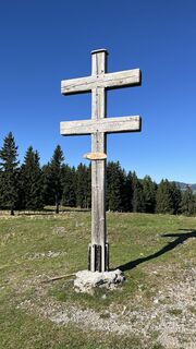
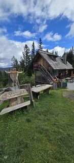
 © Utassy Tóth JohannaCreated on 15.08.2024
 -
 © Utassy Tóth JohannaCreated on 15.08.2024


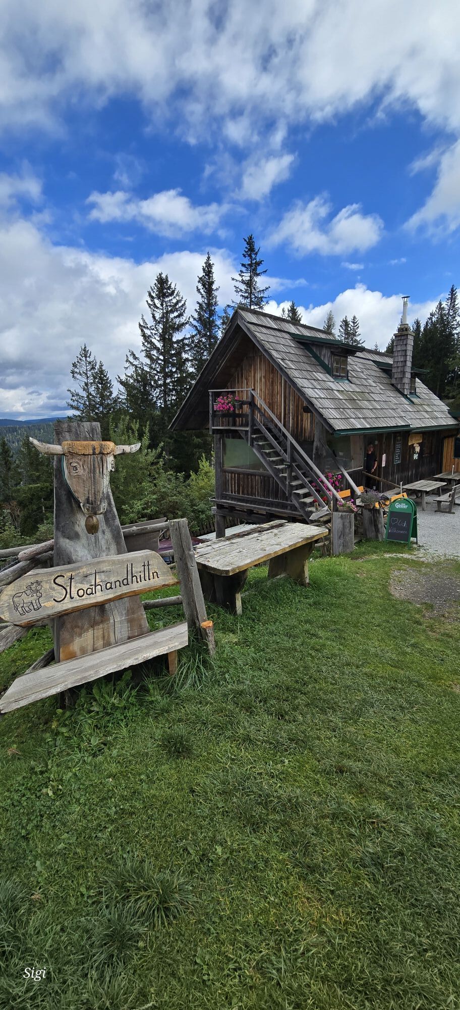


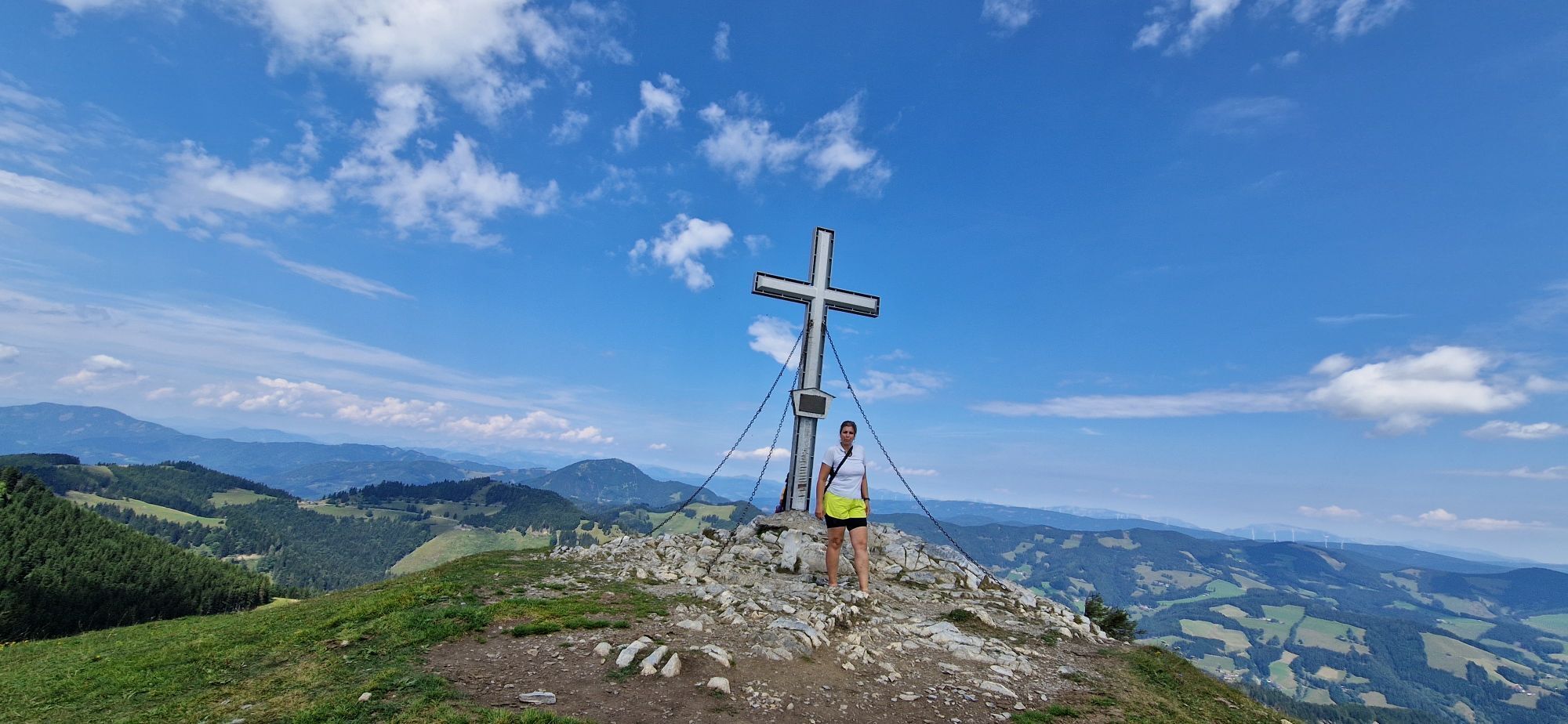
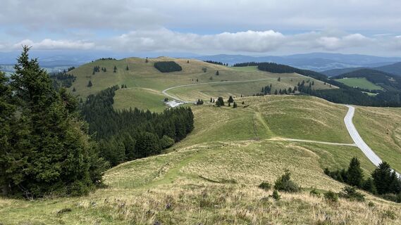
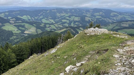
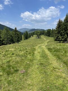
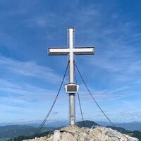
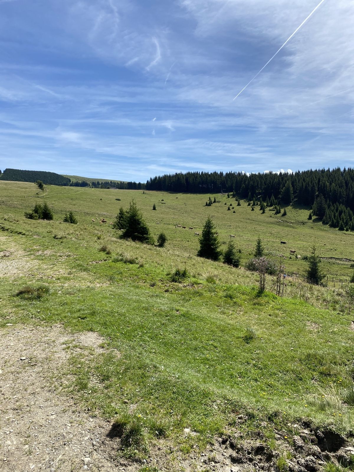
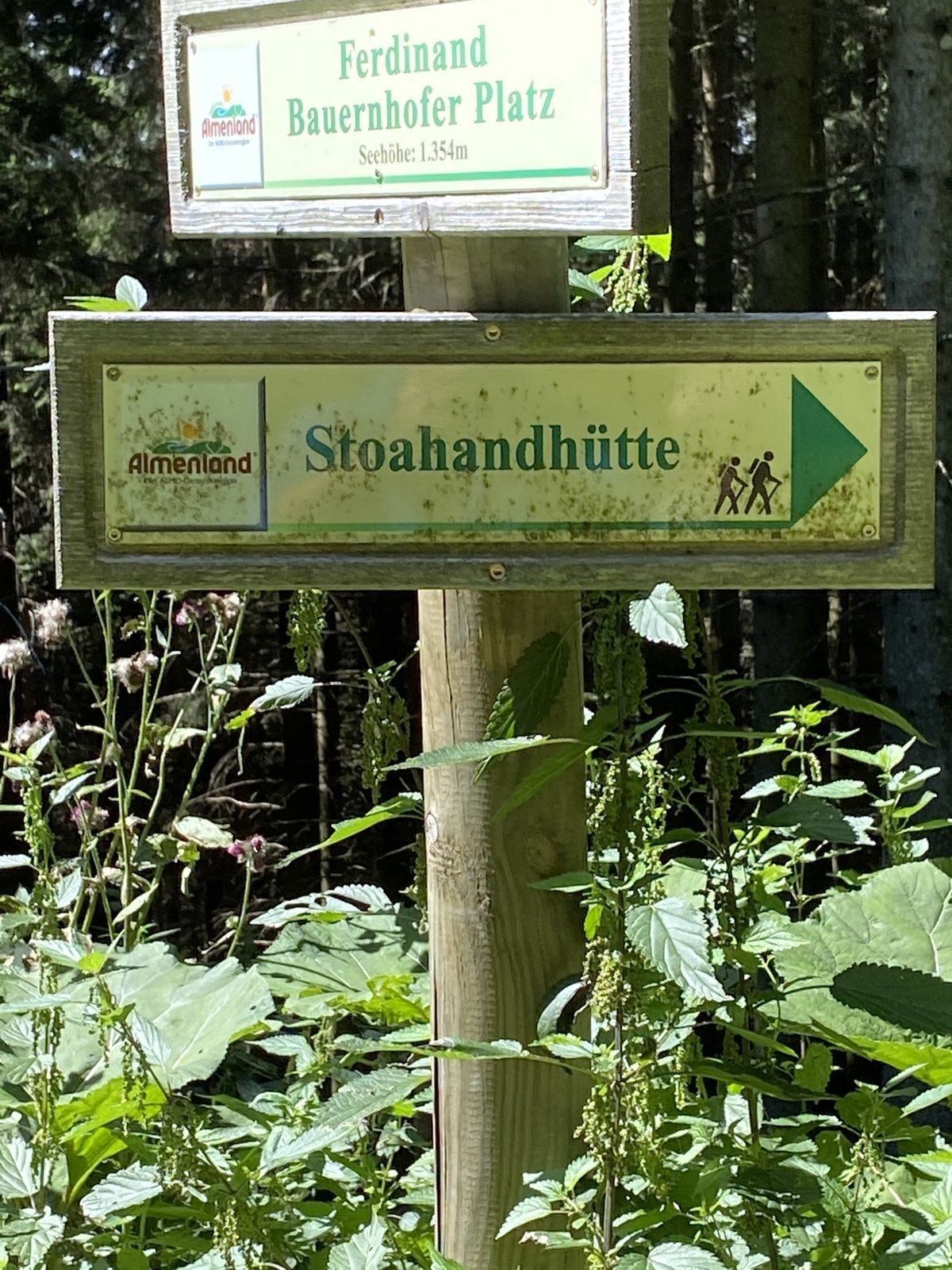
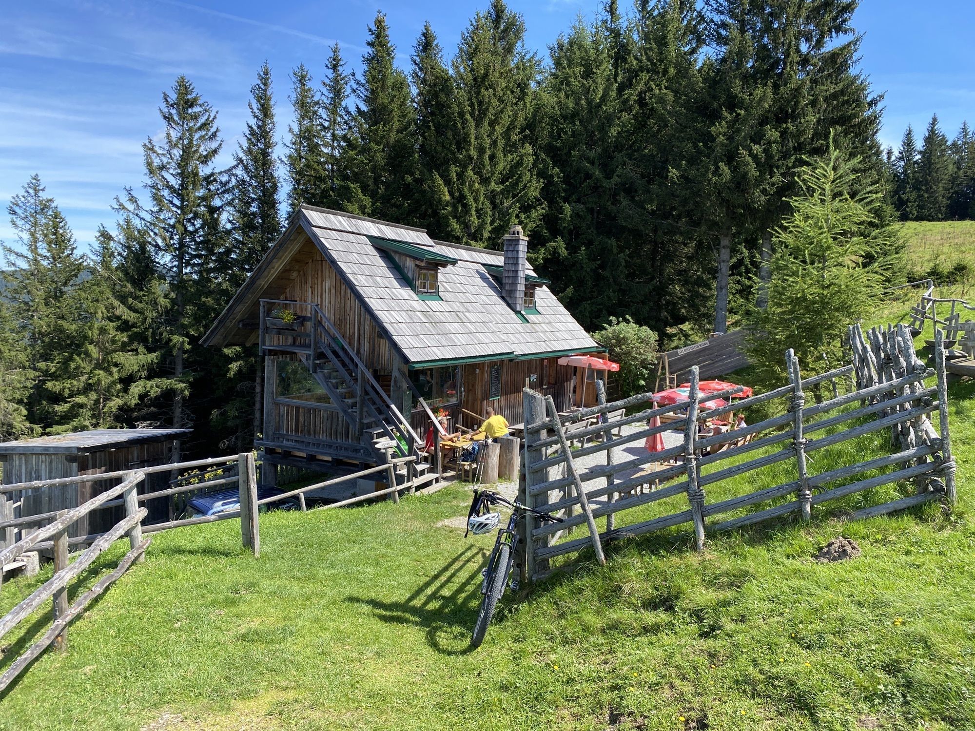
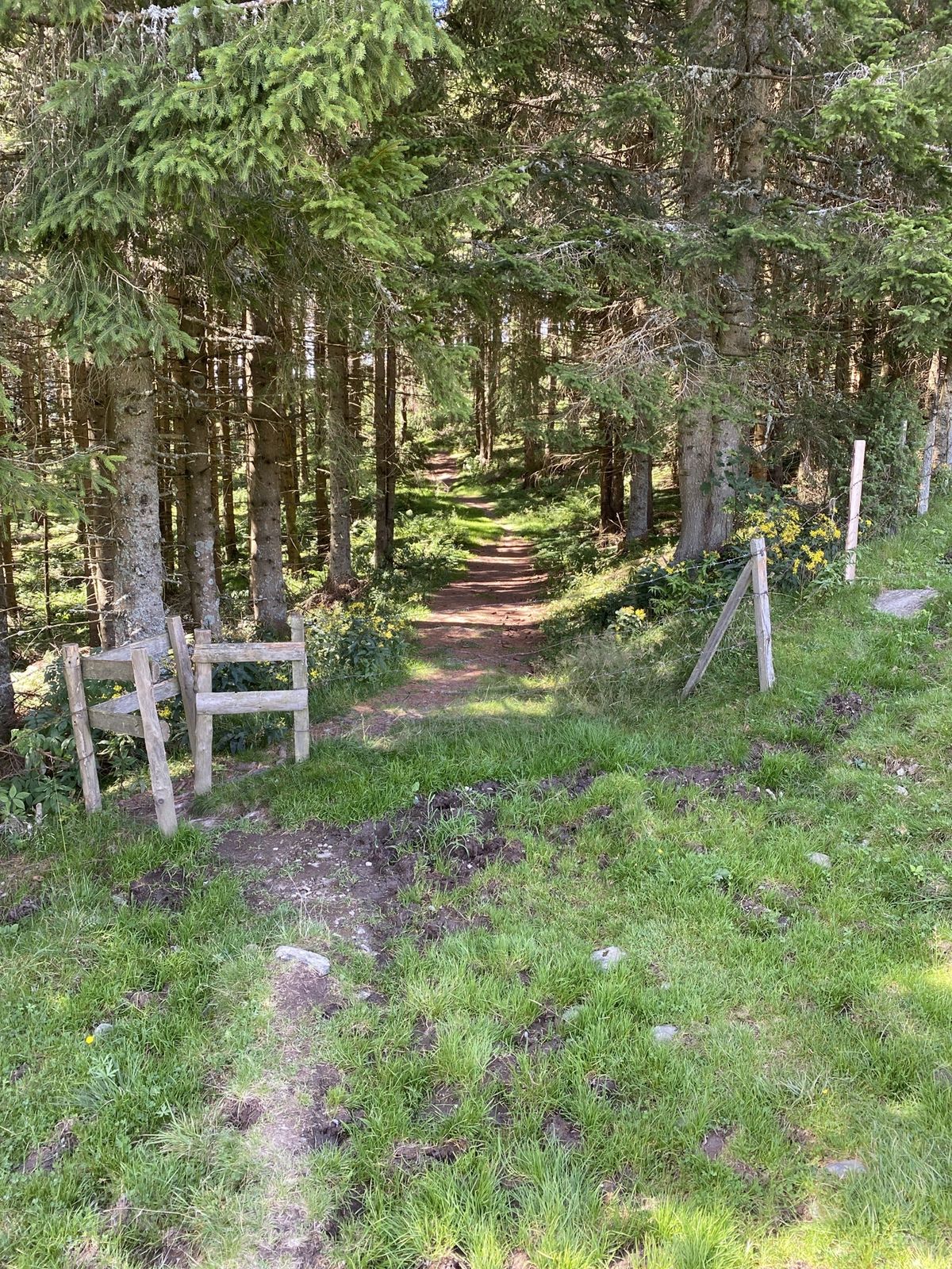
Ab Parkplatz der Stoakoglhütte am besten gleich den Plankogel in Angriff nehmen. Danach geht es gemütlich teilweise durch den Wald in Richtung Siebenkögel weiter. Der Abstecher zur Stoahandhütte ist sehr...
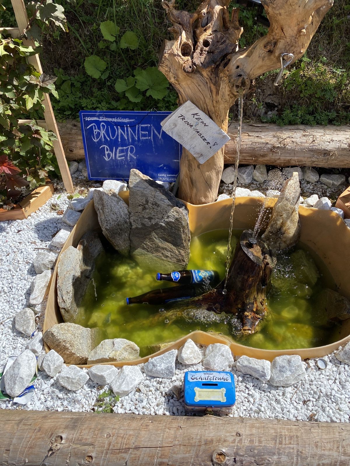
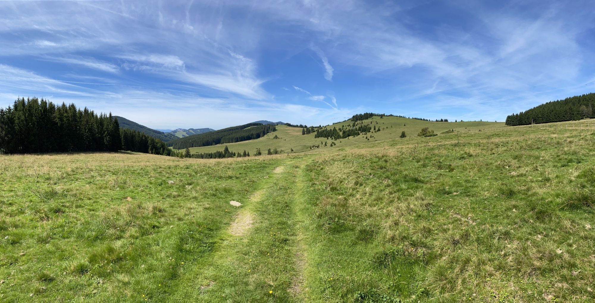
Ab Parkplatz der Stoakoglhütte am besten gleich den Plankogel in Angriff nehmen. Danach geht es gemütlich teilweise durch den Wald in Richtung Siebenkögel weiter. Der Abstecher zur Stoahandhütte ist sehr zum Empfehlen (Stand nicht auf unsere ursprünglichen Route). Eine sehr nette Wirtin und dazu eine Sehr gute wenn auch einfache Jause zu moderaten Preisen inkl. Café und Kuchen. Danach Richtung Siebenkögel und Saukogel zurück zur Stoakoglhütte. Alles in allem eine schöne Wanderung auf der Sommeralm mit vielen schönen Eindrücken und einem traumhaften Ausblick ins Grazer Bergland und auf die Rax und den Schneeberg.


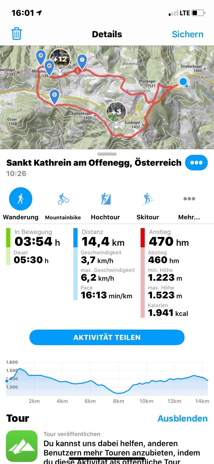

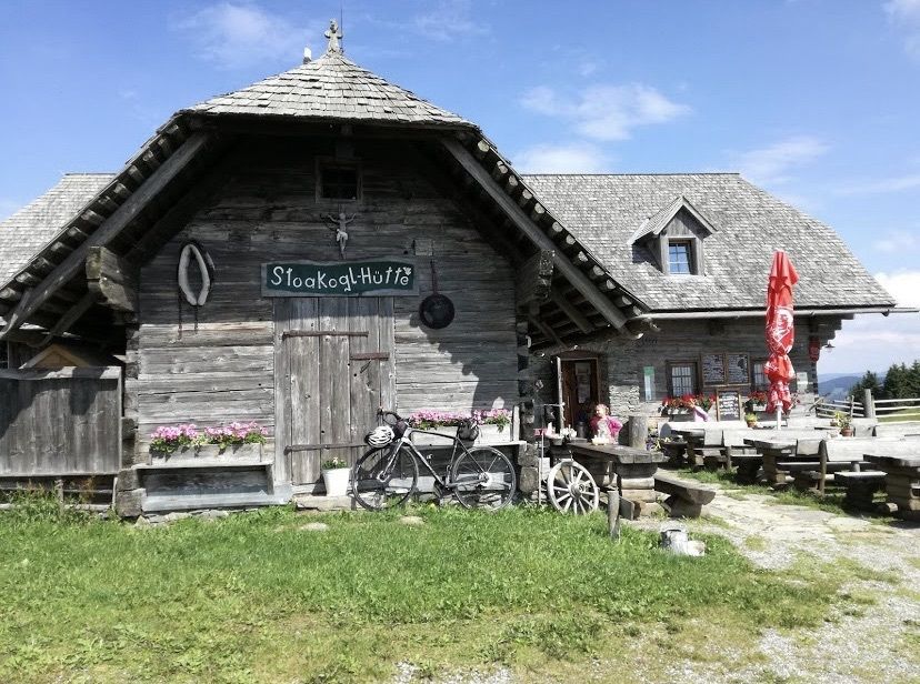
Frohnleiten Richtung Teichalm. Abzweigung auf die Sommeralm bis zurück Parkplatz Stoakoglhütte.
Beim wandern sollte eine entsprechende Ausrüstung immer dabei sein. Einmal haben wir es Genossen bei einem Gewitter ohne der richtigen Ausrüstung unterwegs zu sein. Seitdem ist die Vollausstattung im Rucksack und dort bleibt sie auch.
Popular tours in the neighbourhood
-
4,5
Grosse Patscha-Runde
mediumPješačenje 8,20 km -
4,3
Plankogel-Rundweg, Sommeralm
lightPješačenje 6,30 km -
4,0
Fladnitz an der Teichalm: Teichalm - Hochlantsch
Pješačenje 3,69 km -
4,5
Siebenkögel-Rundweg, Sommeralm
mediumPješačenje 12,6 km -
4,7
Teichalm - Hochlantsch - Schüsserlbrunn
mediumPješačenje 12,6 km -
4,6
Mixnitz - Drachenhöhle - Röthelstein - Rote Wand - Tyrnauer Alm
mediumPješačenje 14,6 km -
4,7
Rote Wand über Tyrnaueralm, Teichalm
mediumPješačenje 14,0 km -
4,3
Rote Wand
lightPješačenje 10,9 km -
4,4
Röthelstein - Rote Wand
mediumPješačenje 12,5 km -
4,3
Hochlantsch-Runde, Teichalm
heavyPješačenje 11,5 km
bergfex Tours


Ne propustite ponude i inspiraciju za vaš sljedeći odmor
Your e-mail address has been added to the mailing list.