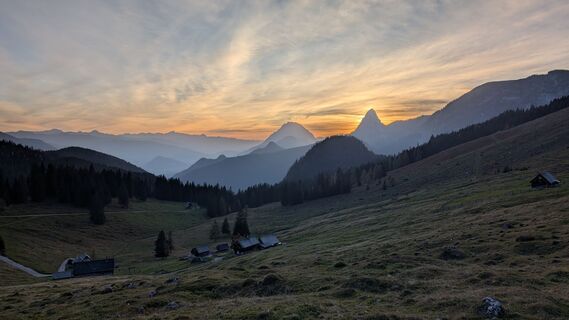
Panorama- und Wanderkarte, Hinteregger Alm
Pješačenje
Navigate
Navigate
Get this tour on your mobile
Panorama- und Wanderkarte, Hinteregger Alm
Pješačenje
11,14
km
Scan the QR code and start navigation in the bergfex app

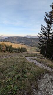
Hiking & Tracking


Distance
11,14
km
Duration
04:35
h
Ascent
1.064
m
Sea level
1.204 -
2.111
m
Track download
Panorama- und Wanderkarte, Hinteregger Alm
Pješačenje
11,14
km


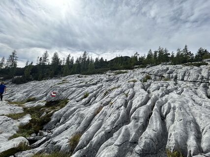
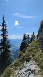
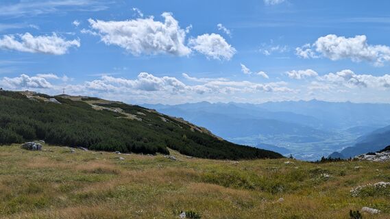
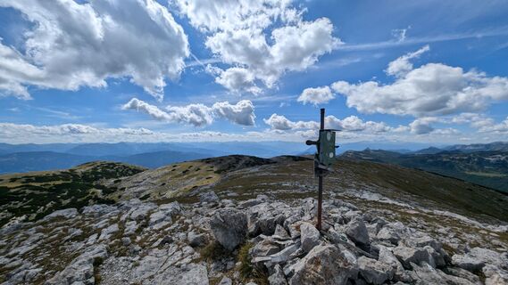
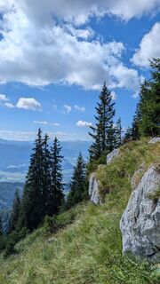
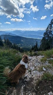
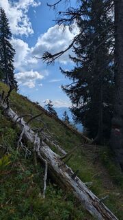
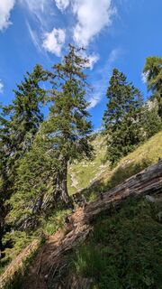
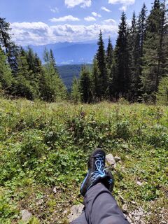
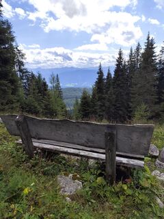
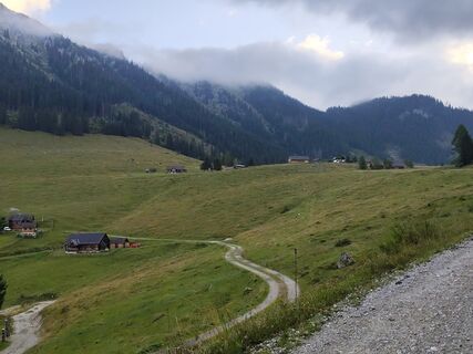
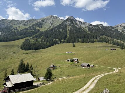
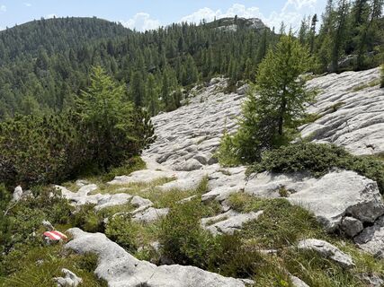
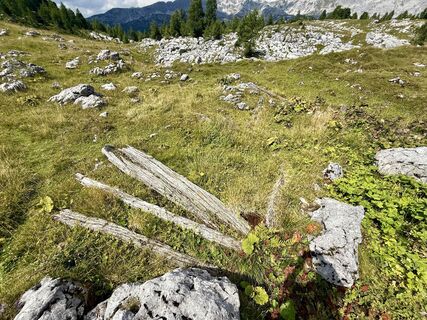
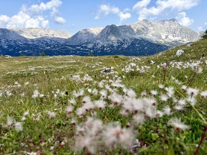
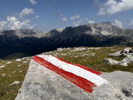
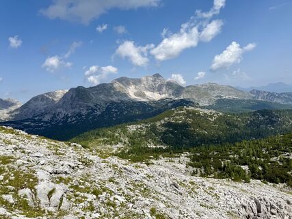
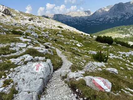
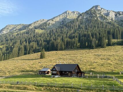
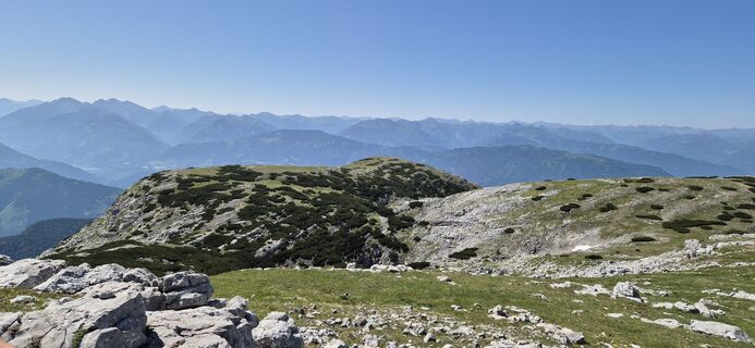
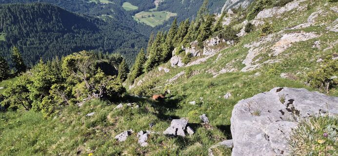
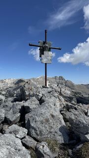
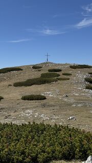
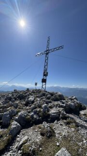
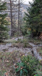
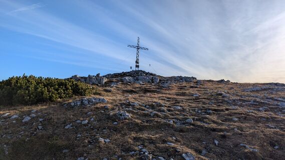
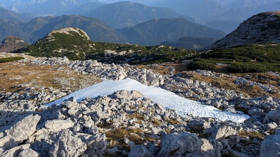
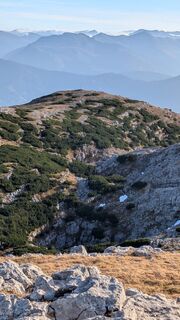
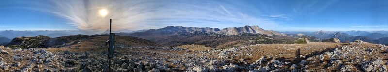
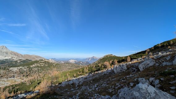
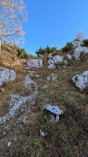
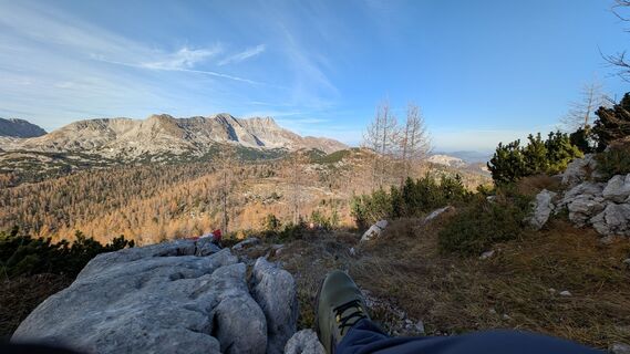
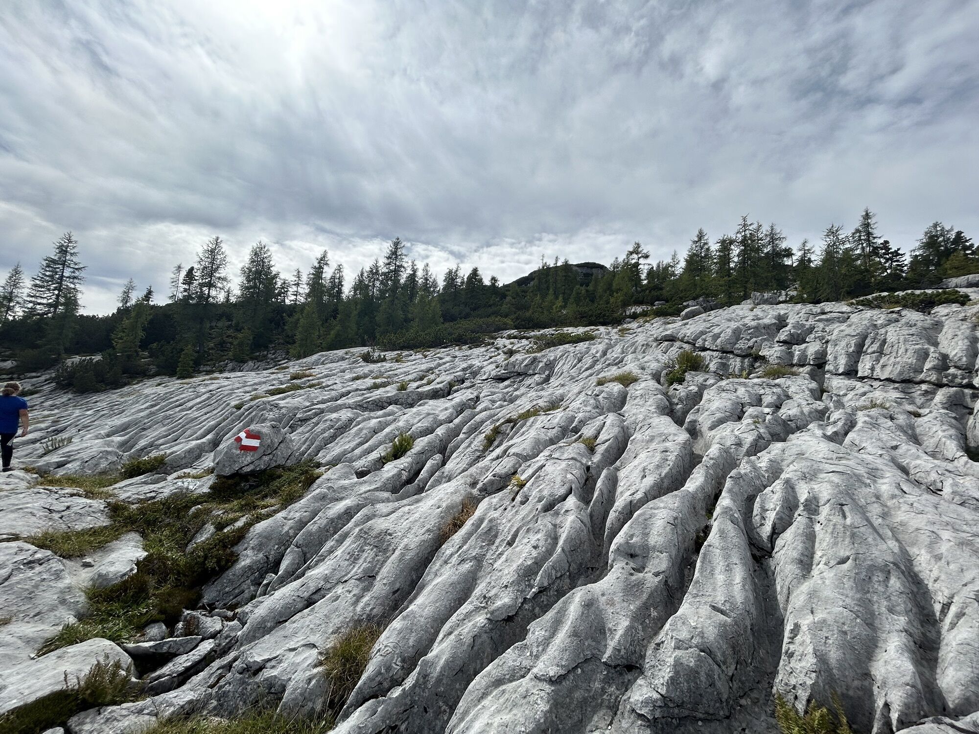
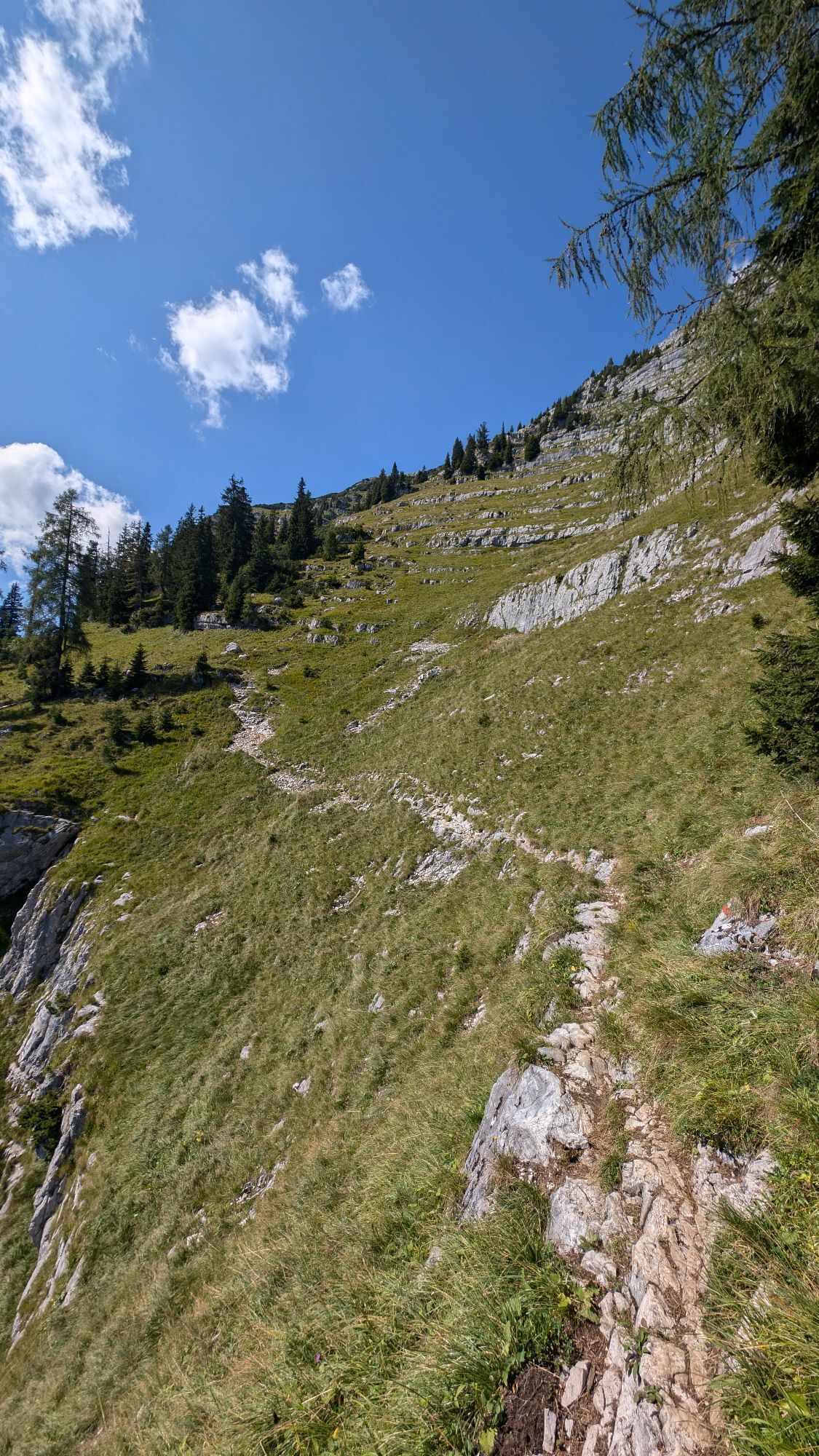
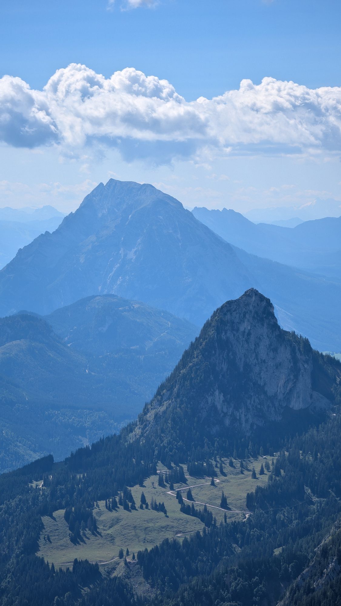
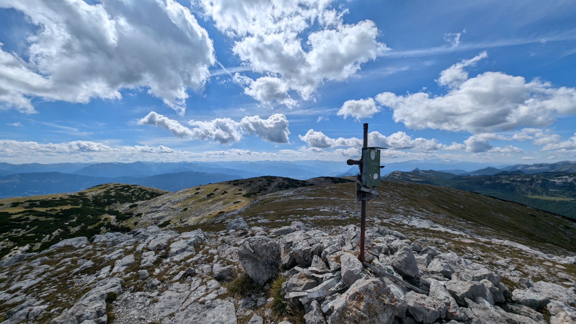
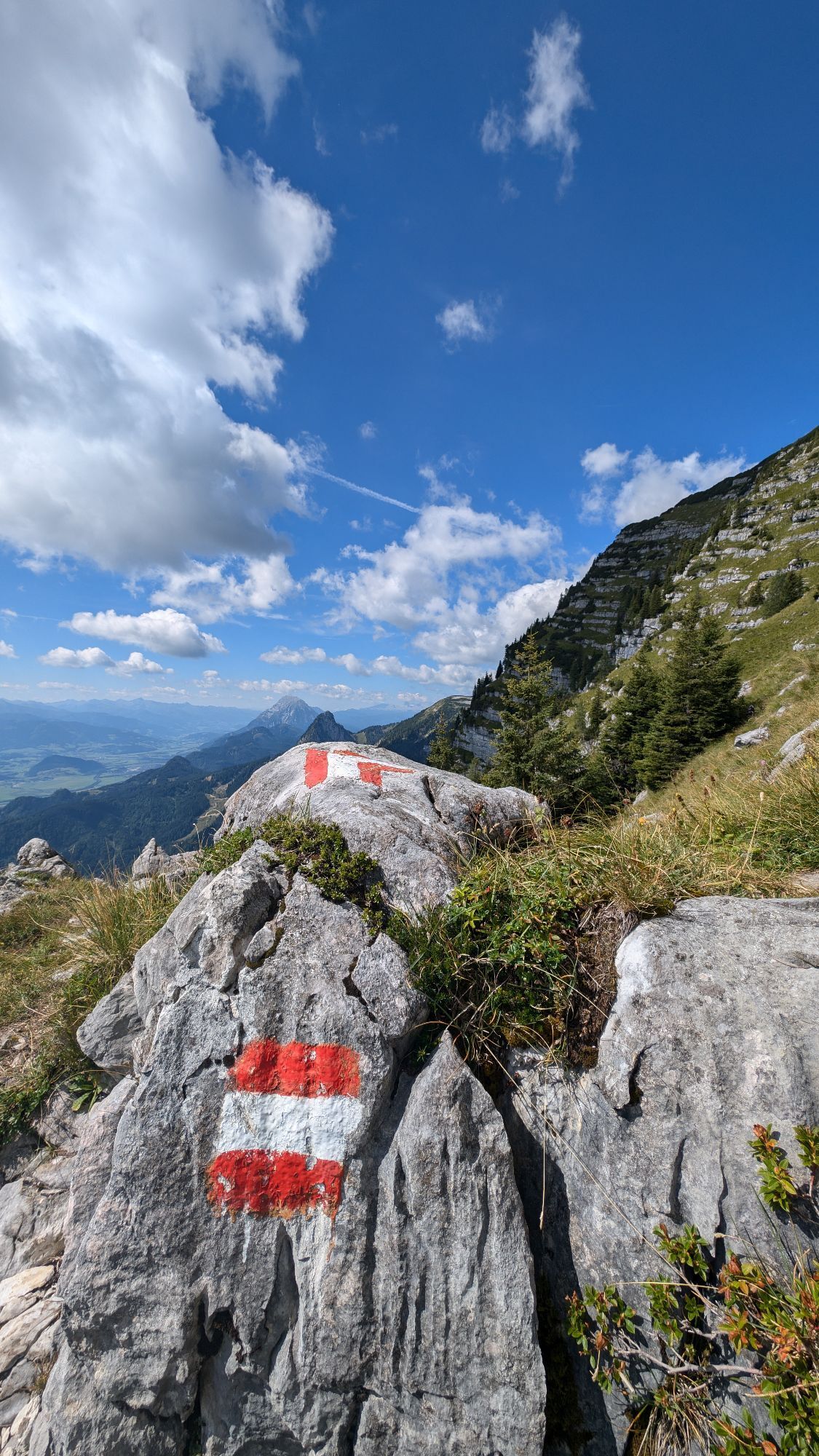
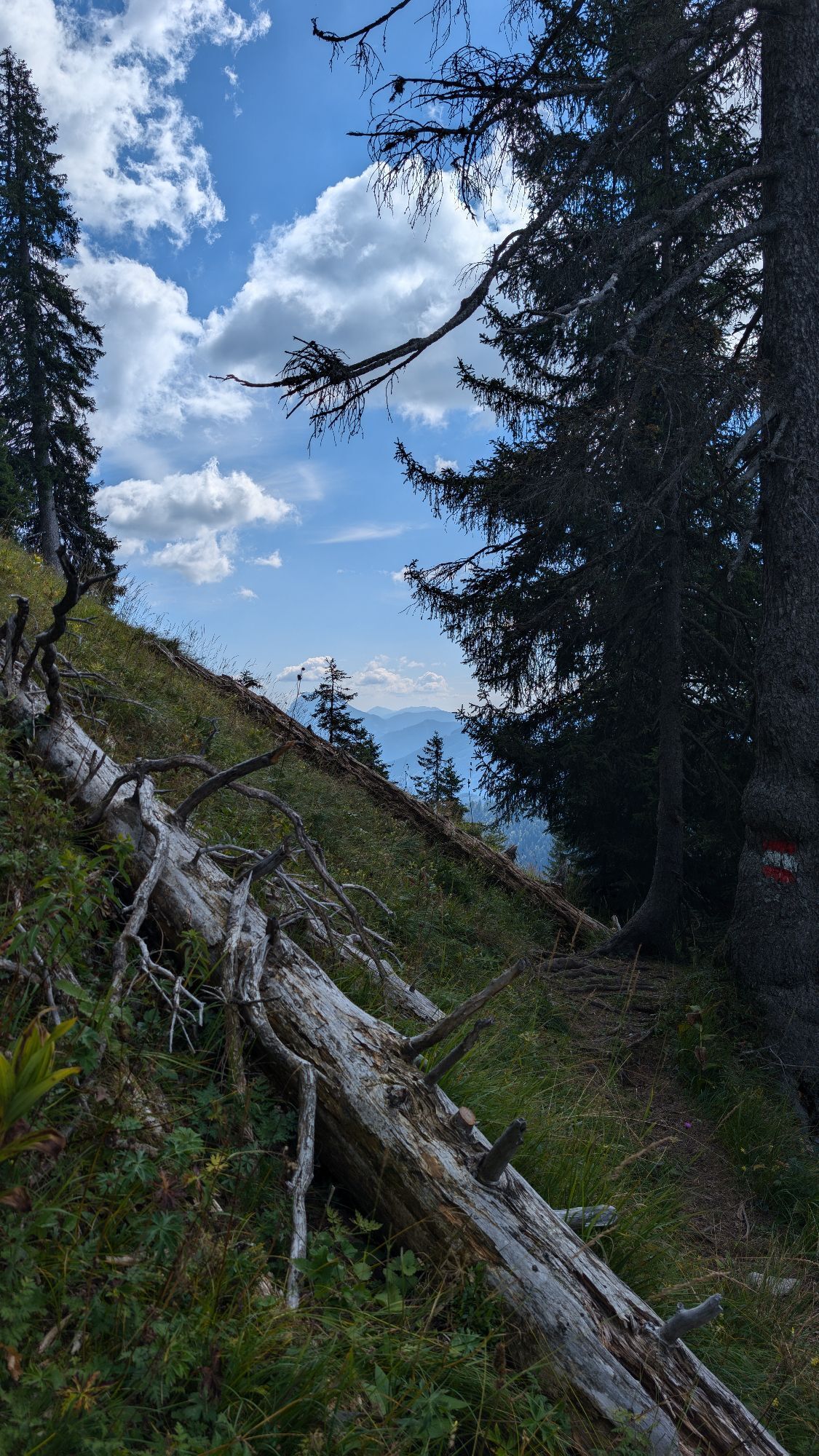
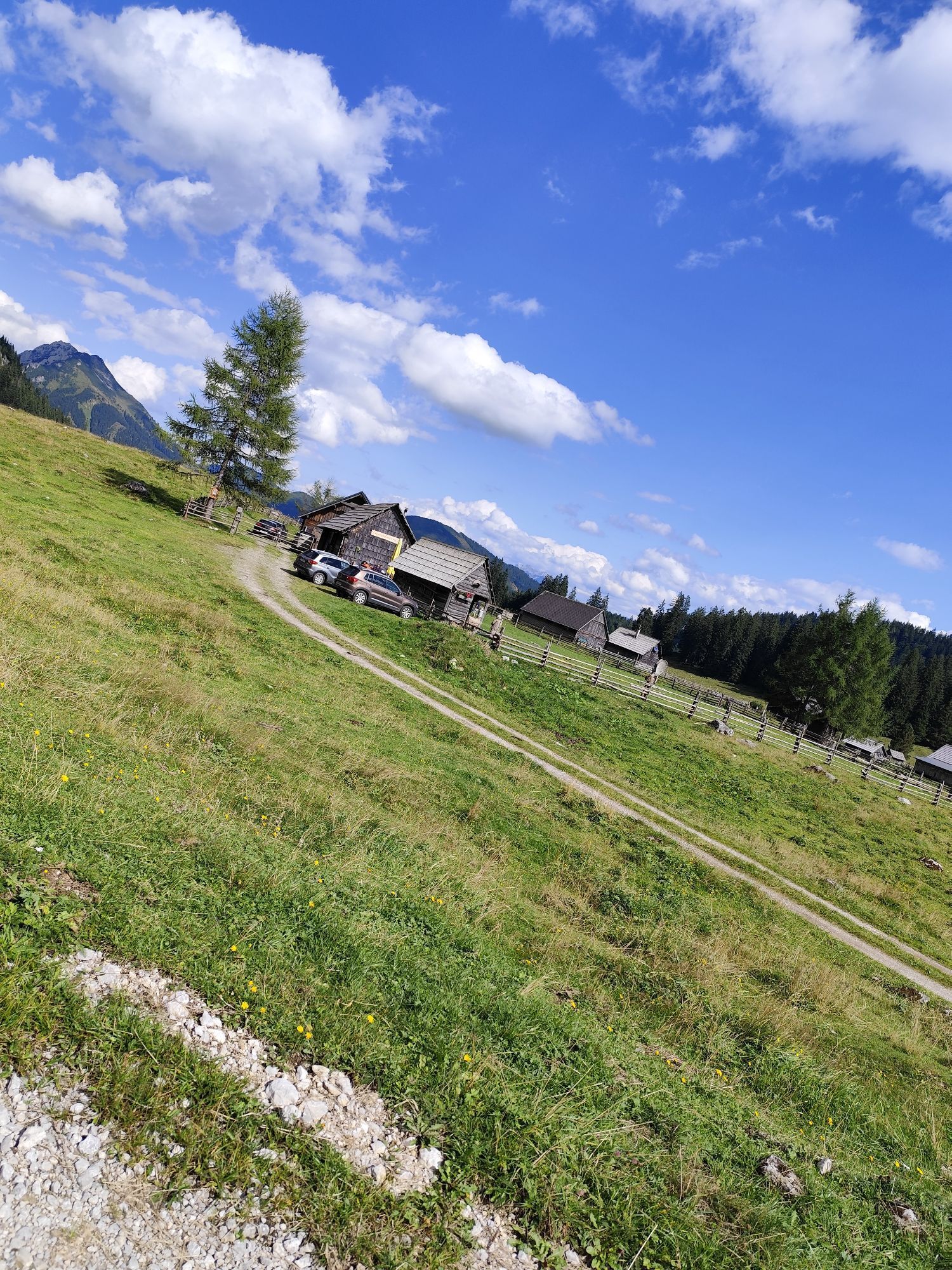
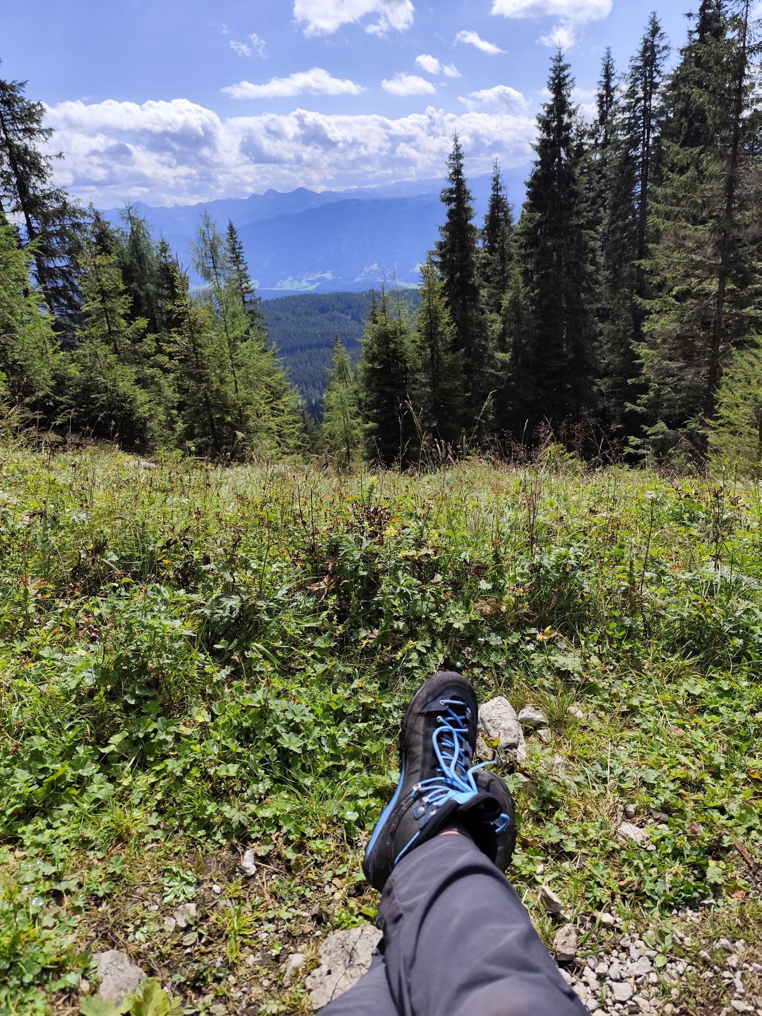
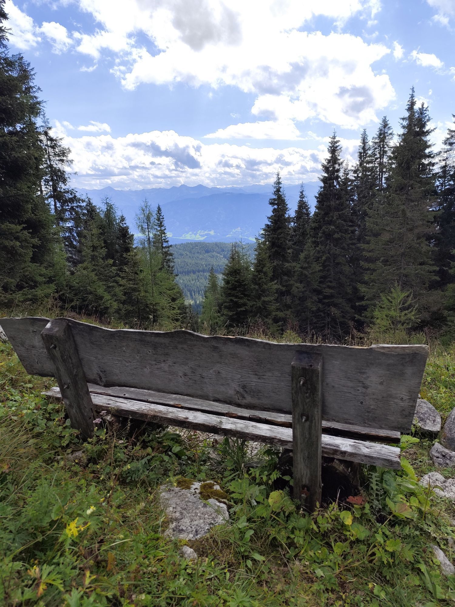
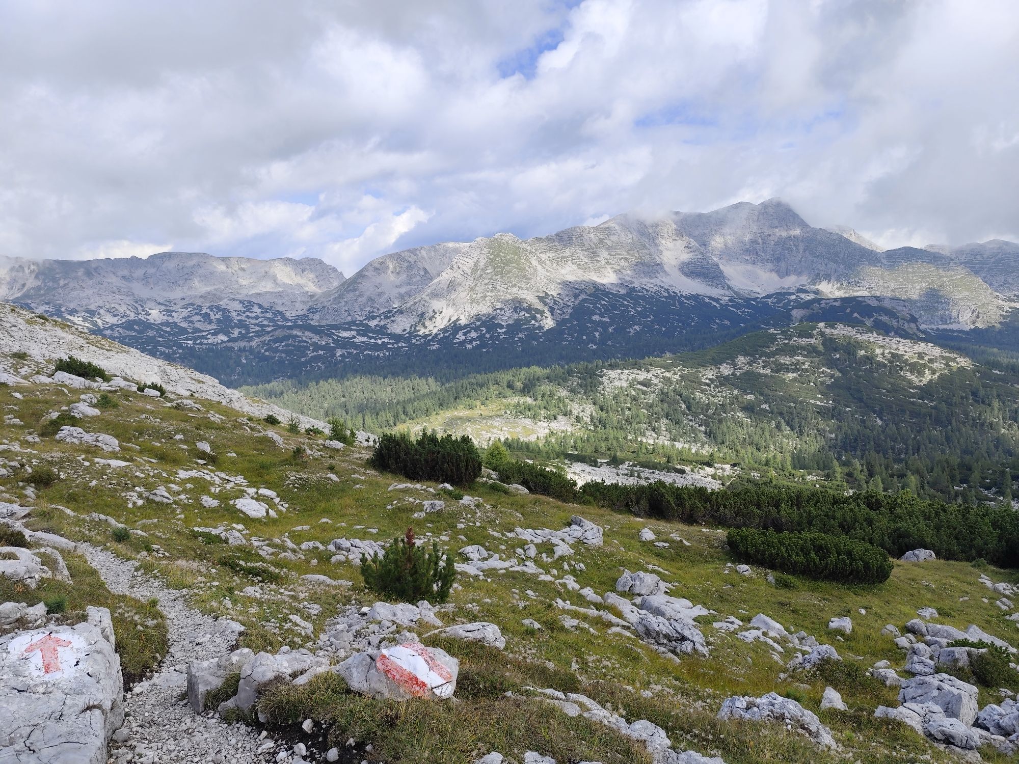
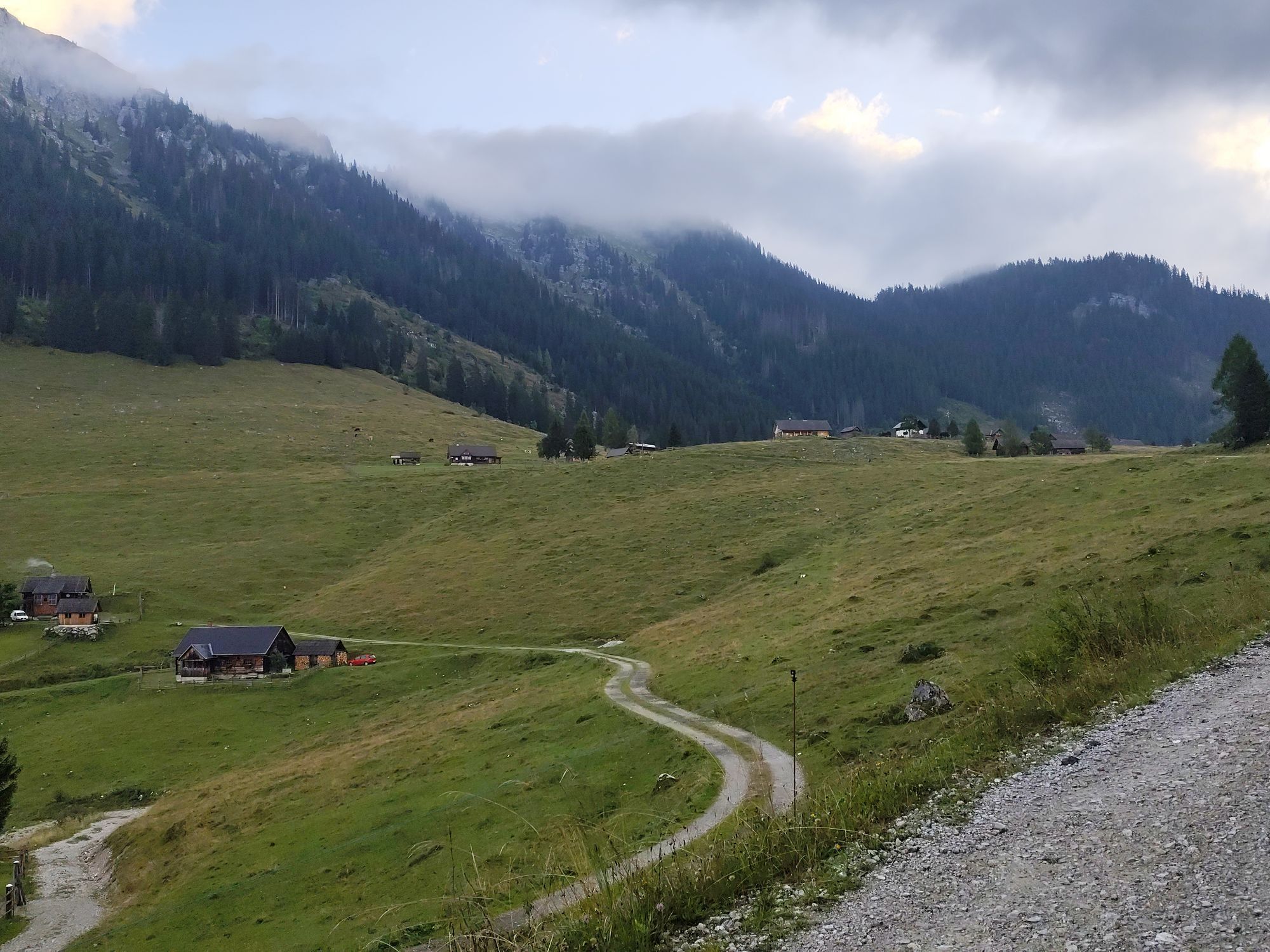
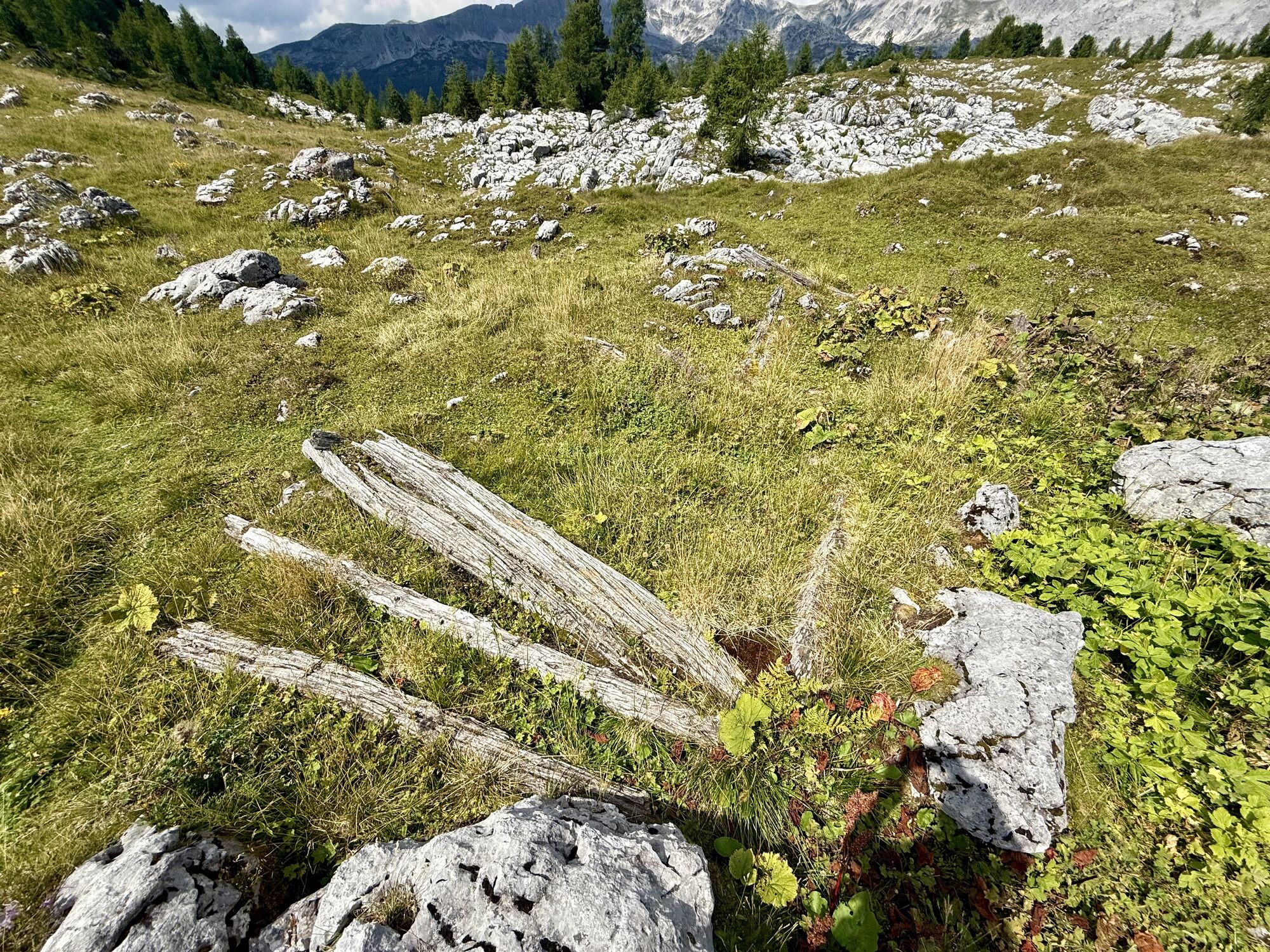
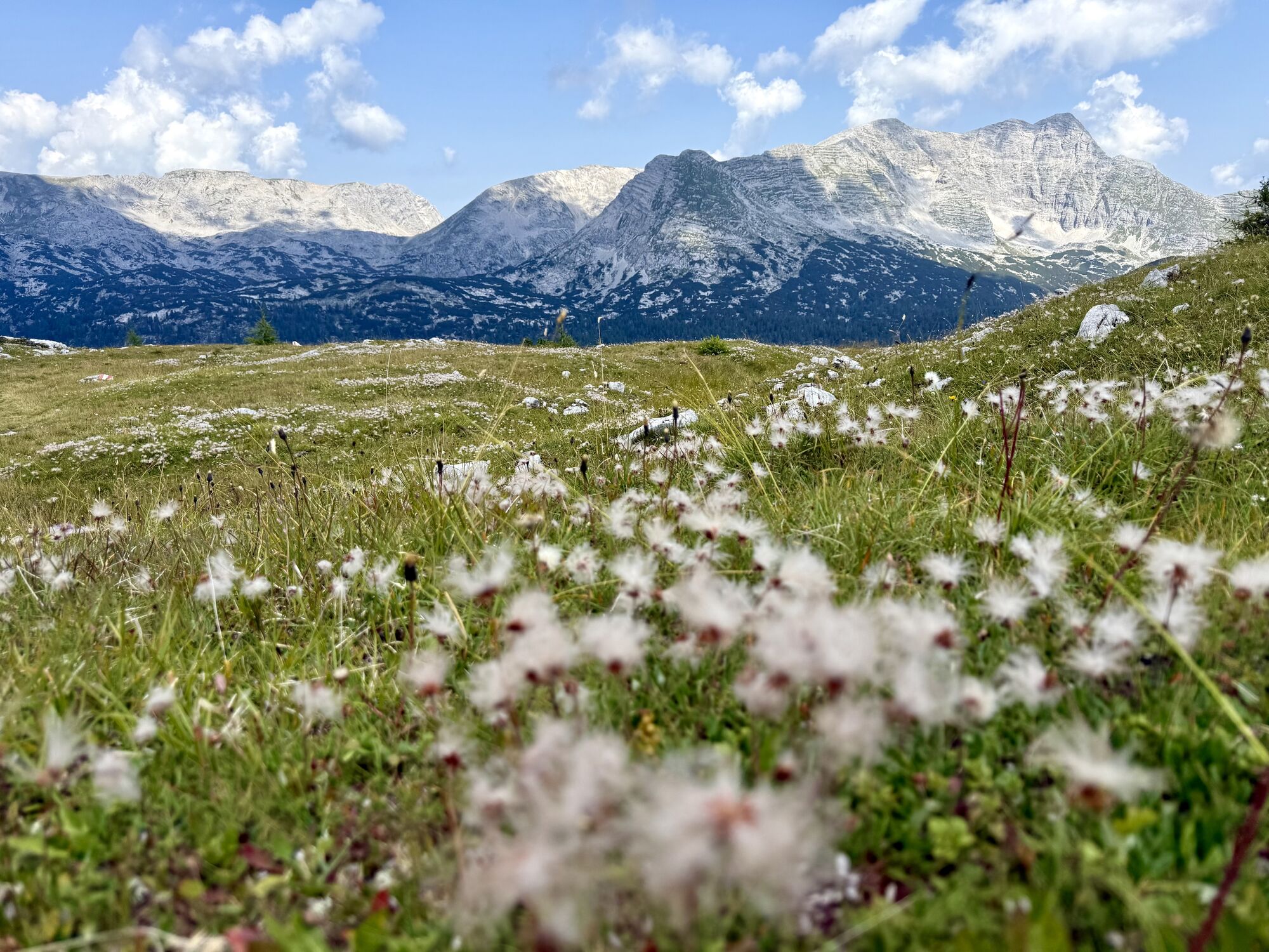
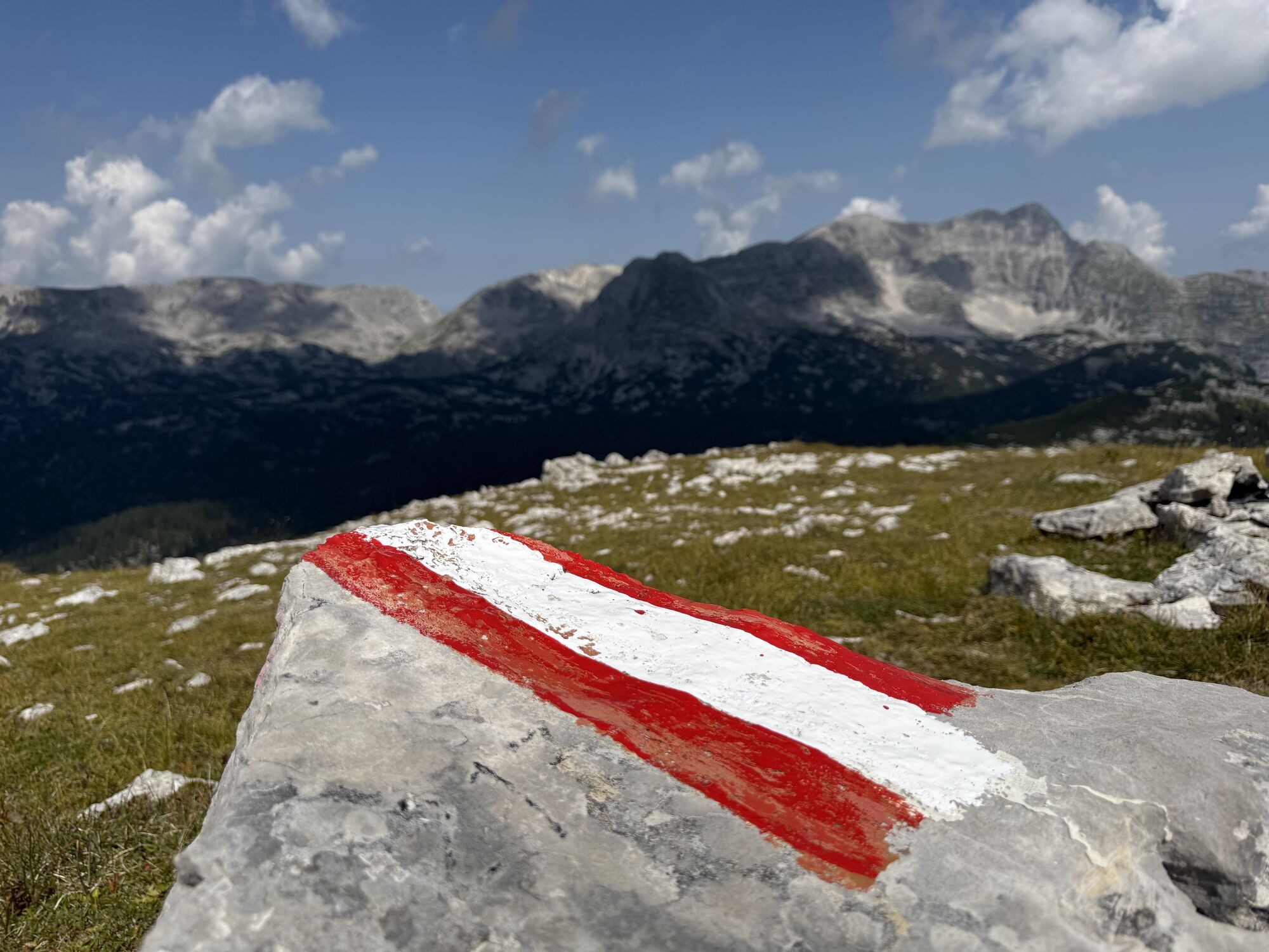
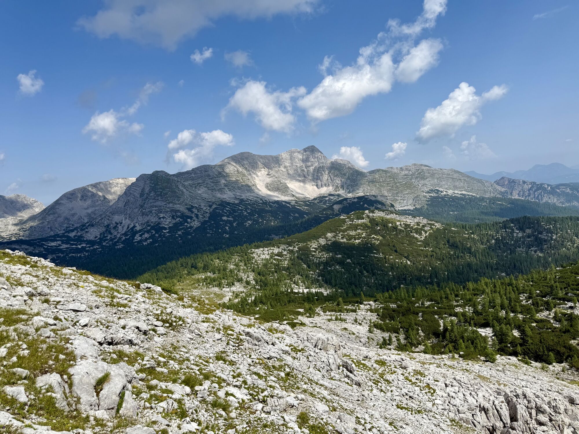
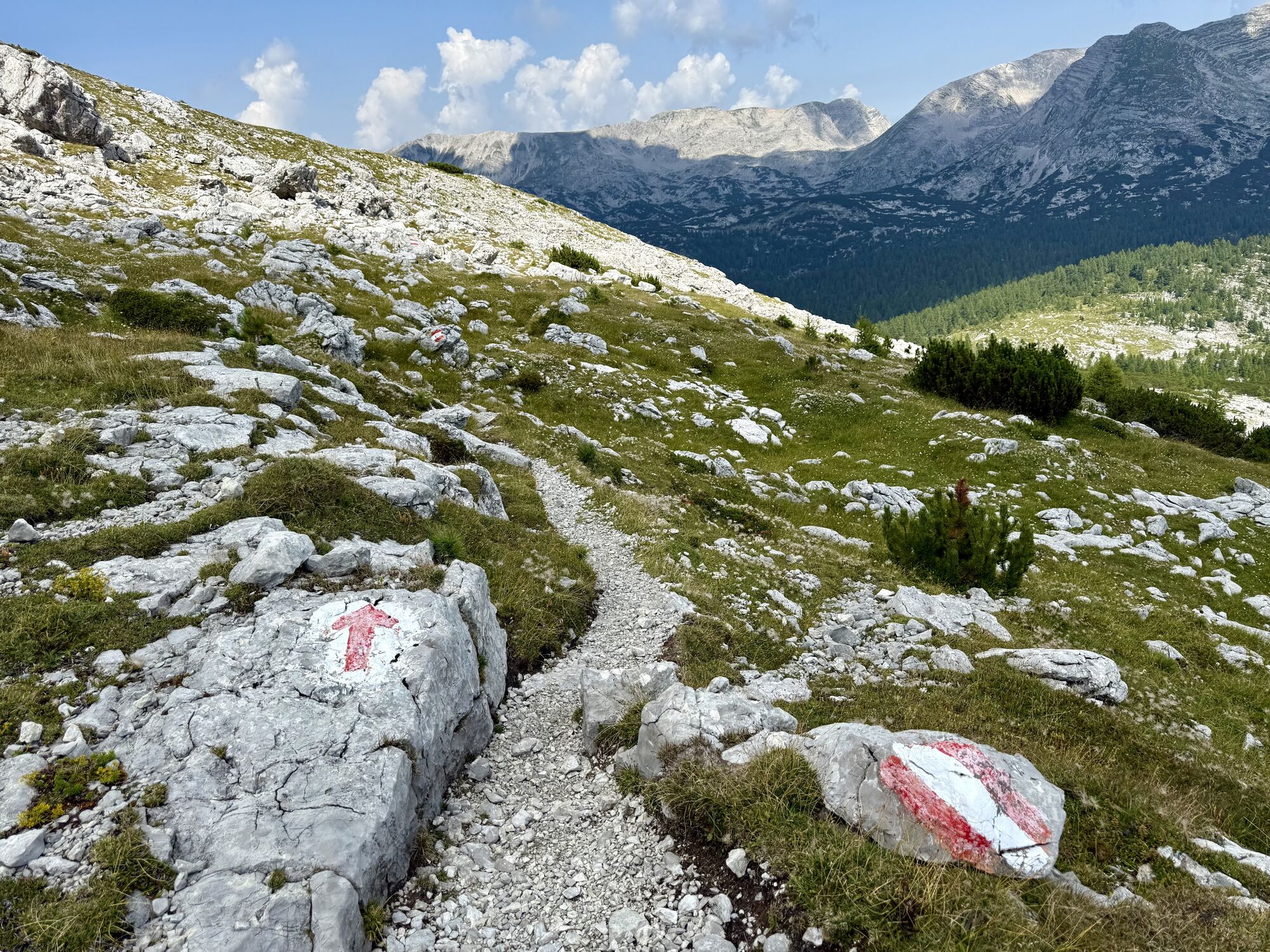
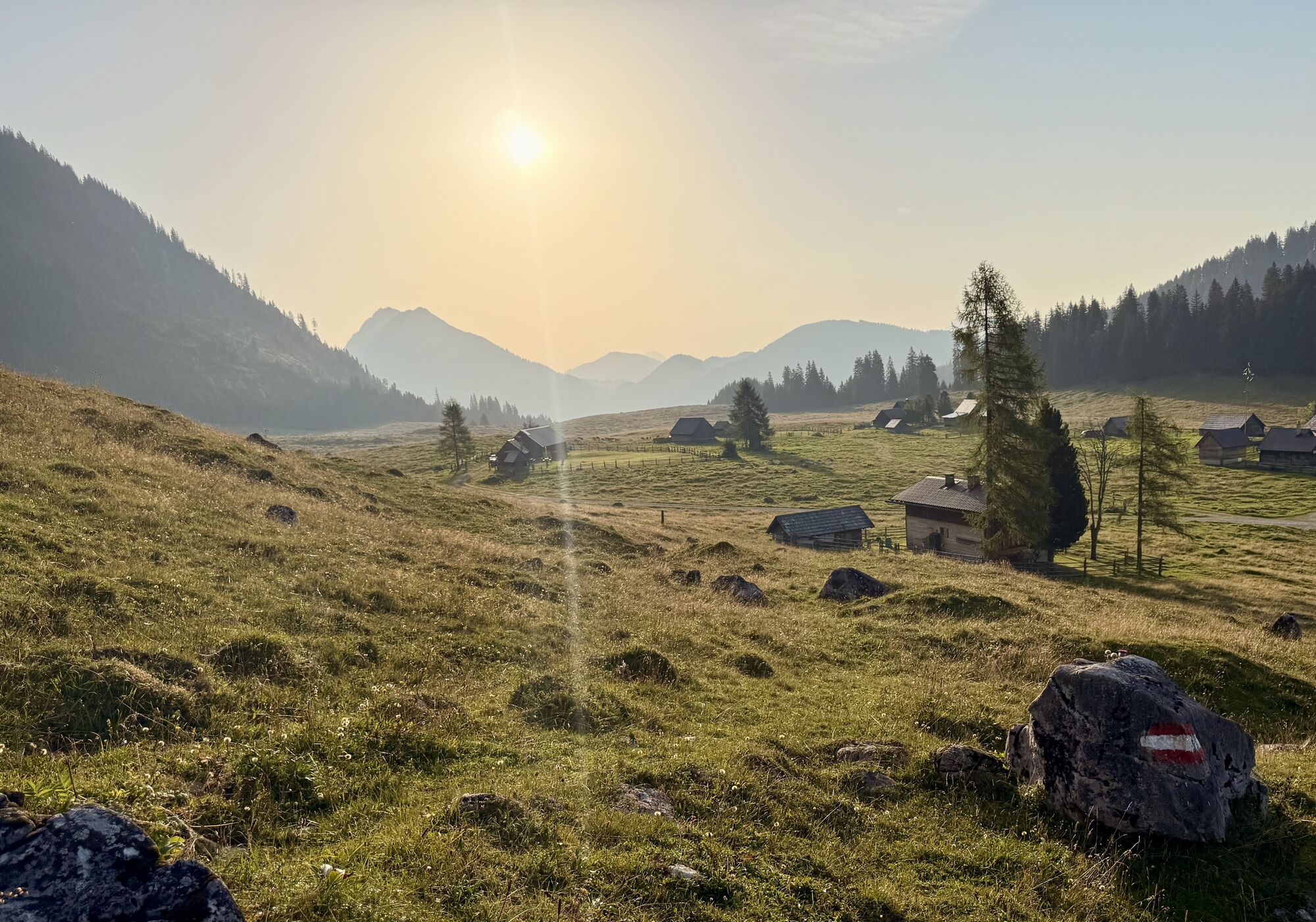
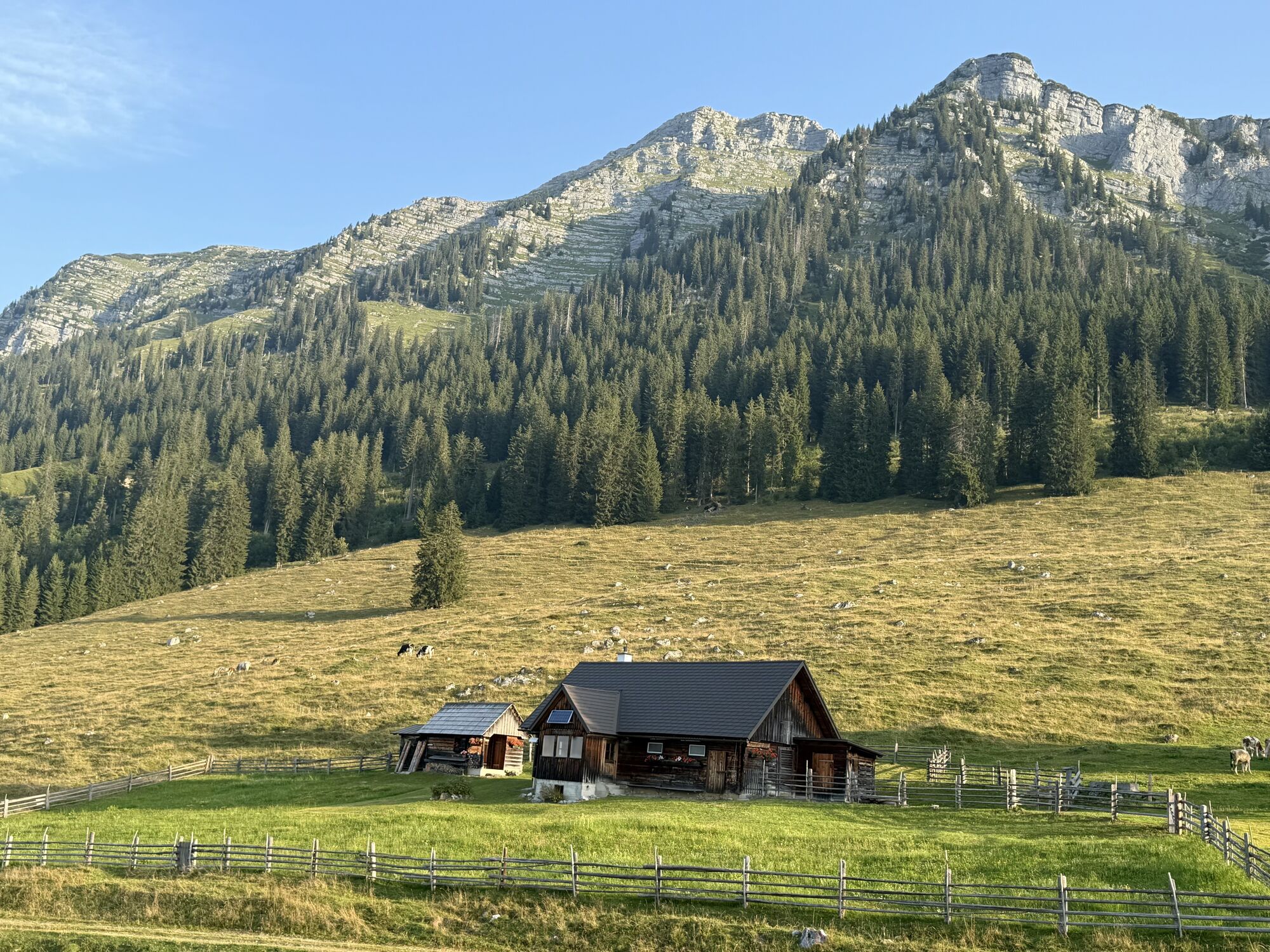
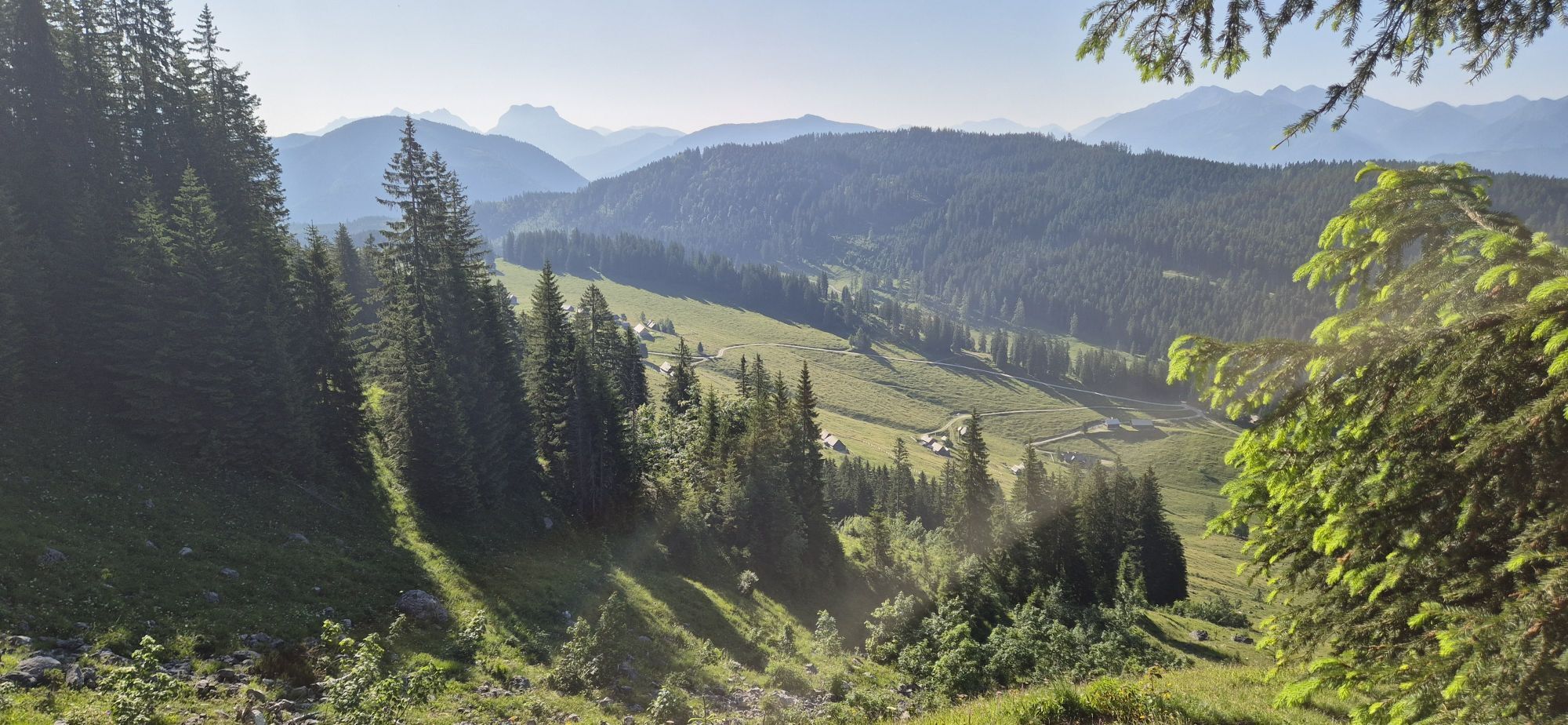
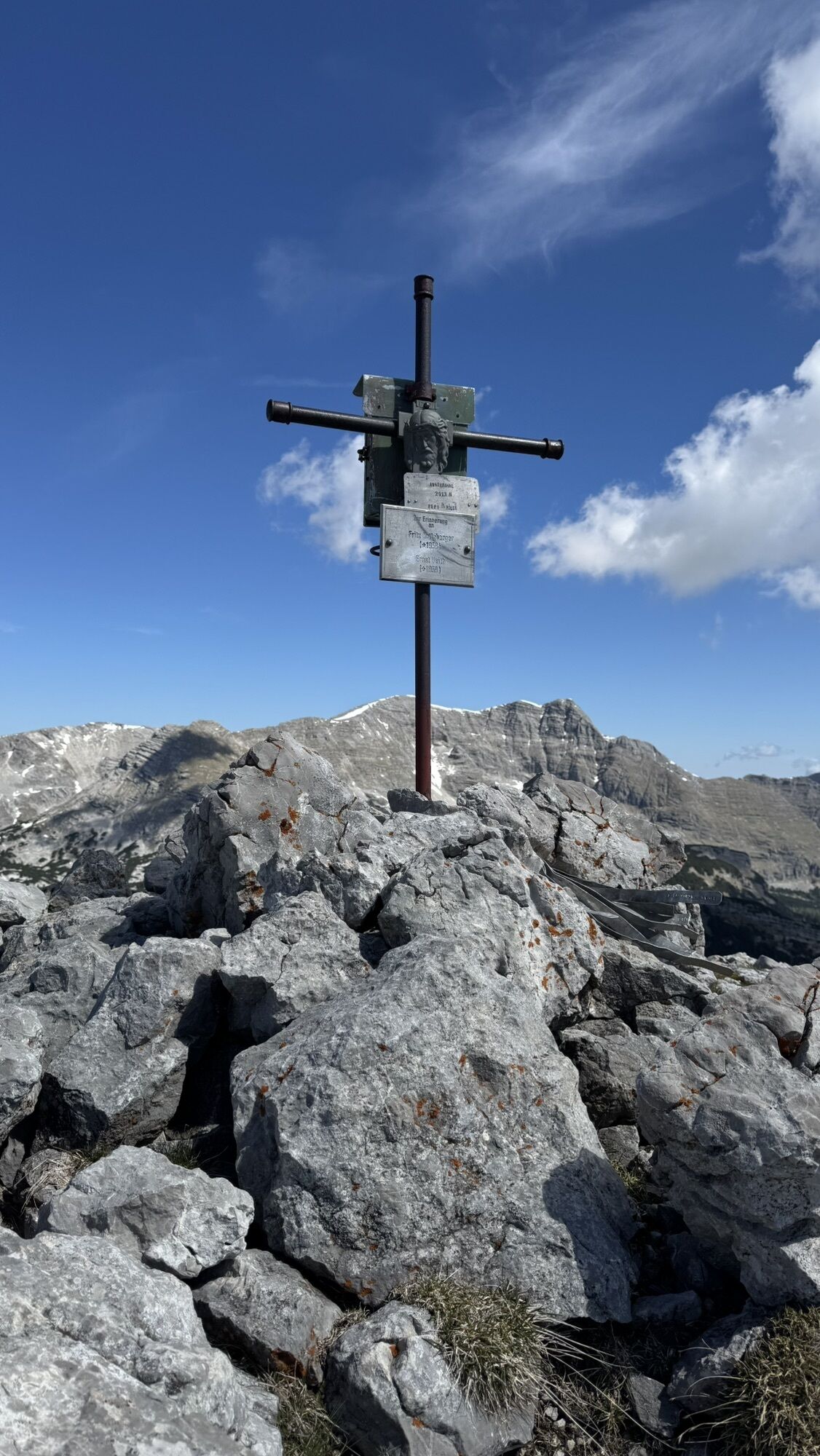
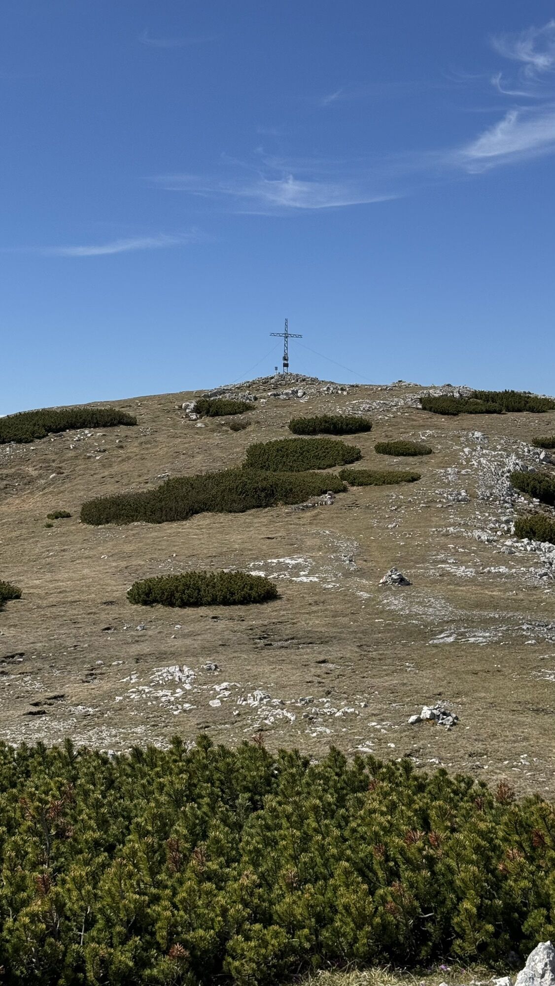
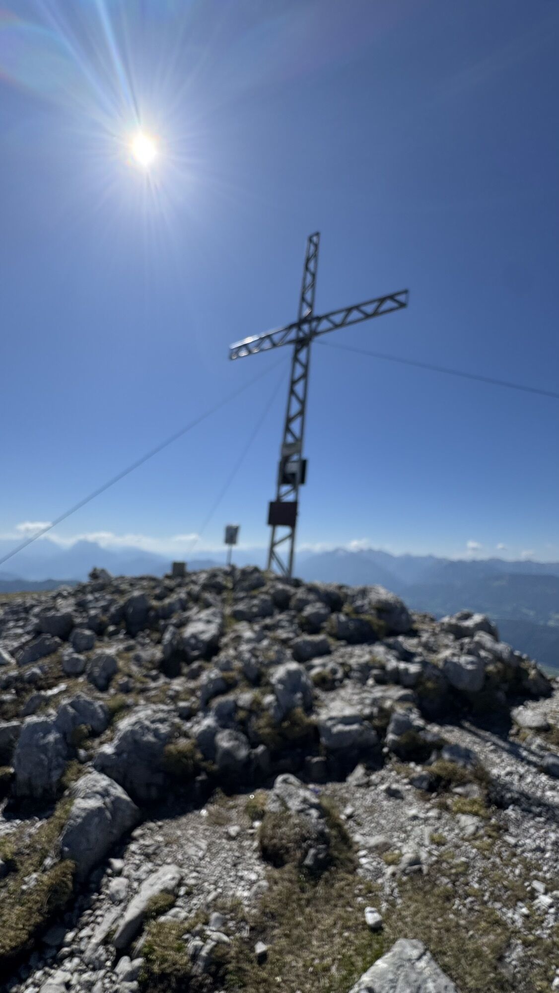
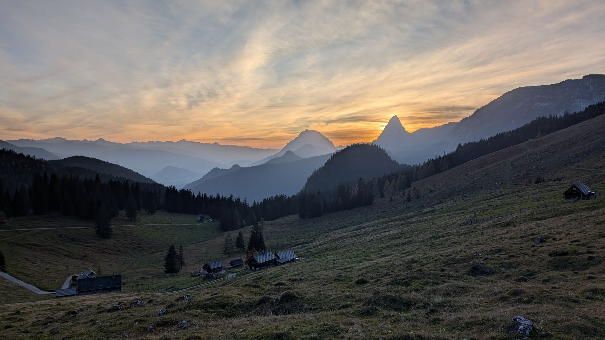
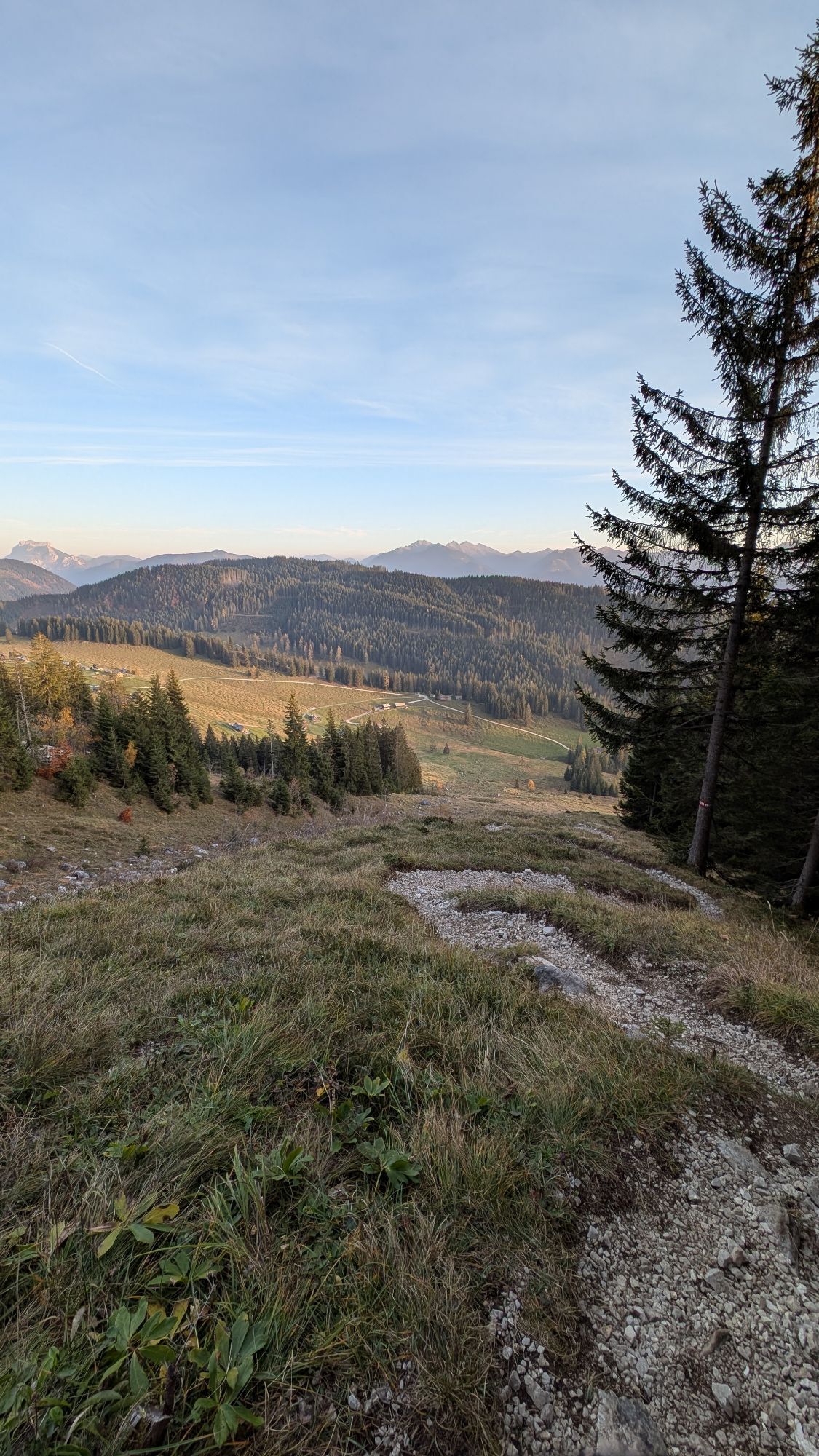
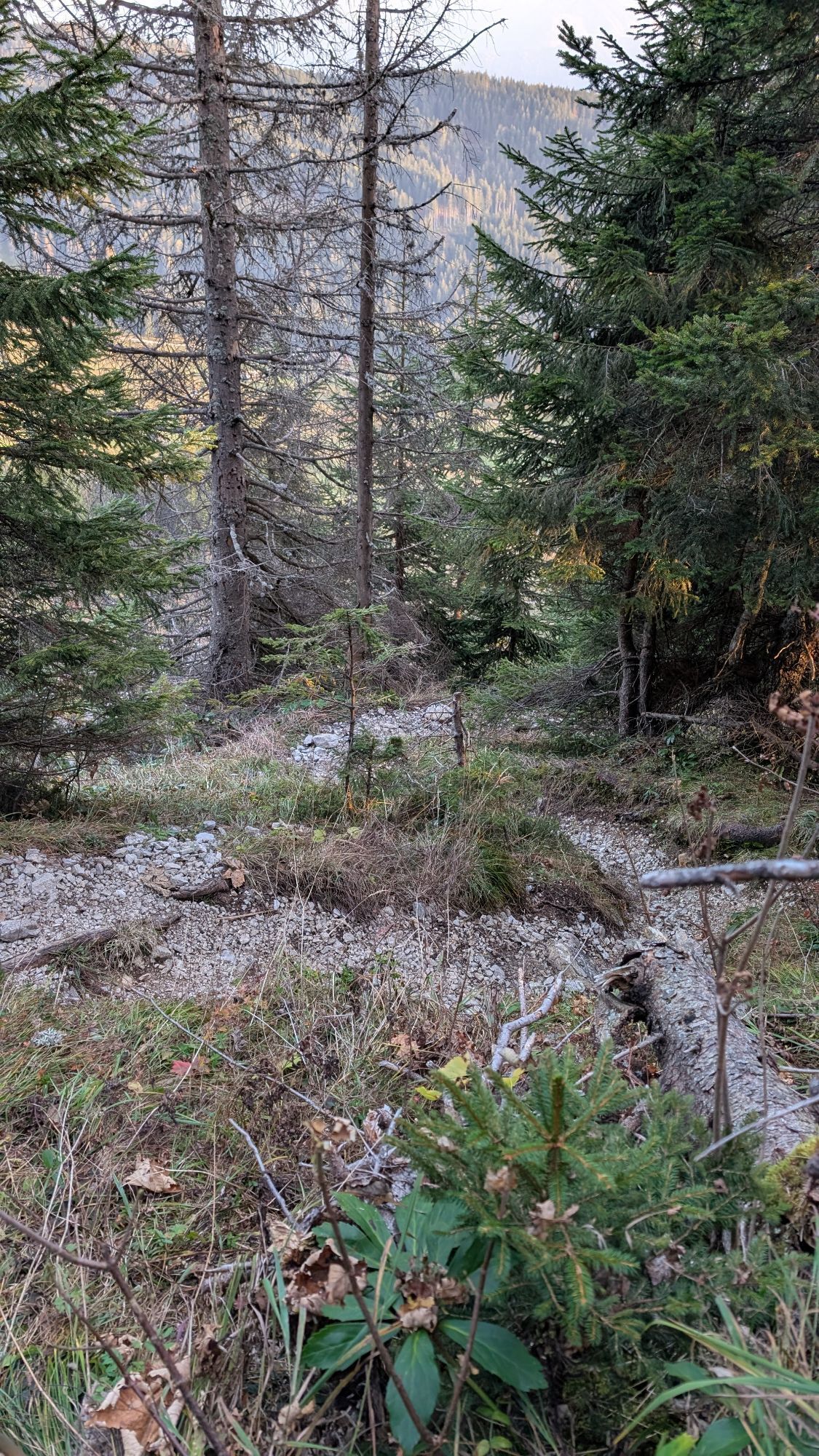
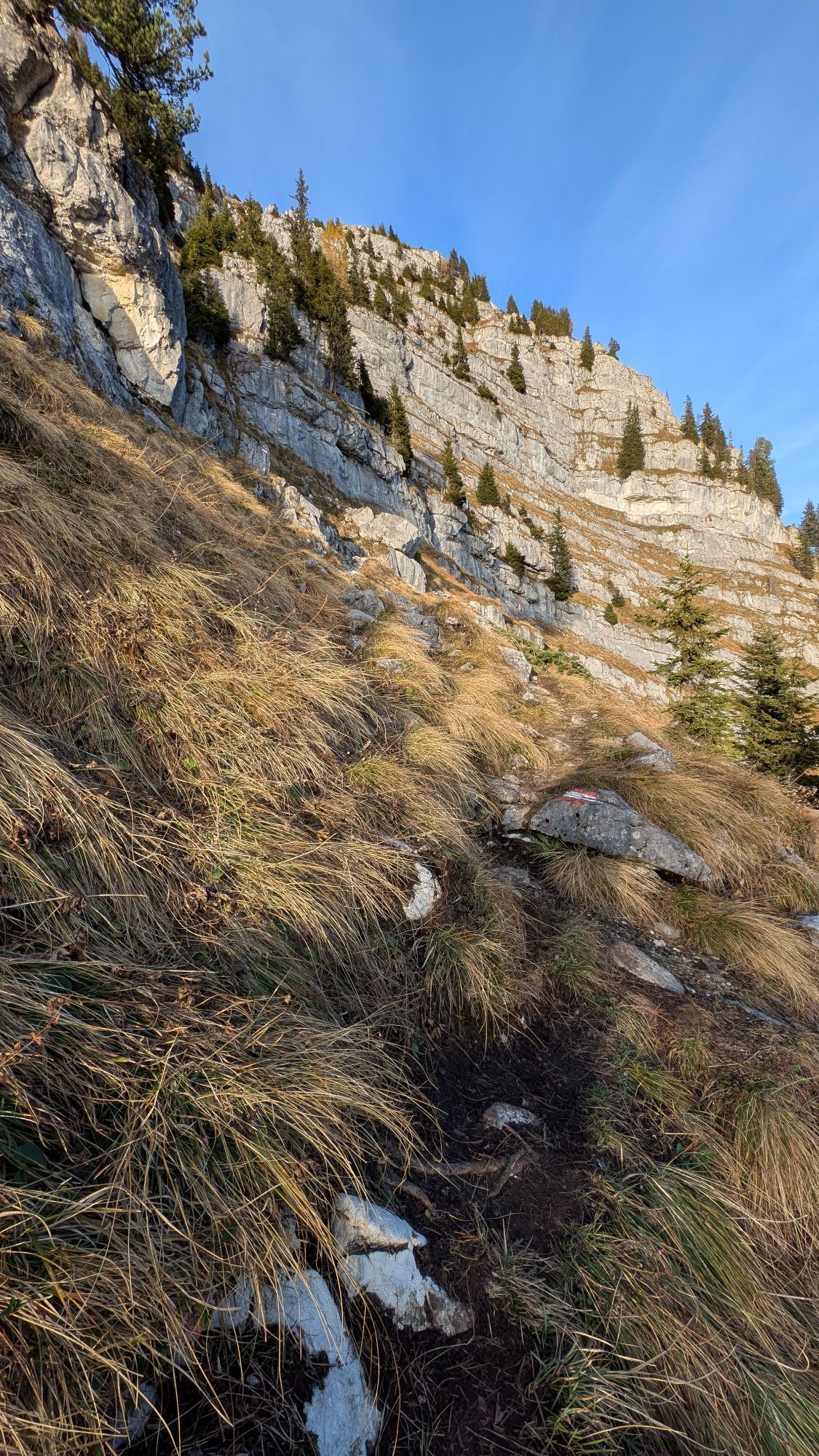
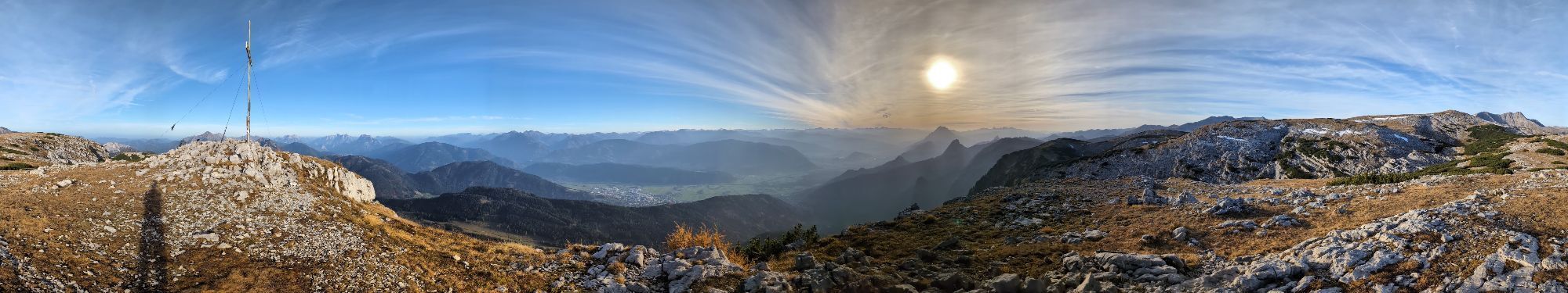
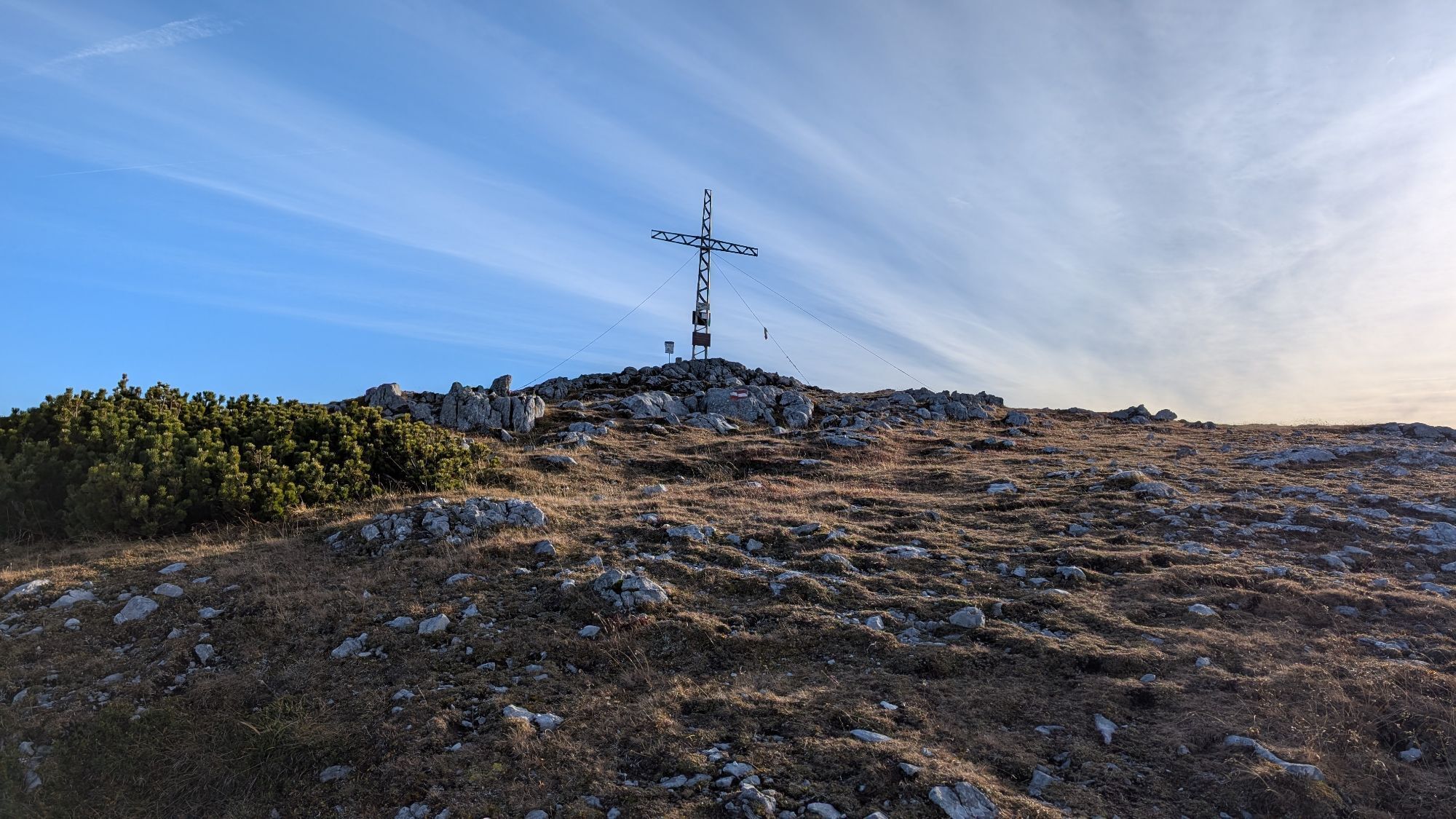
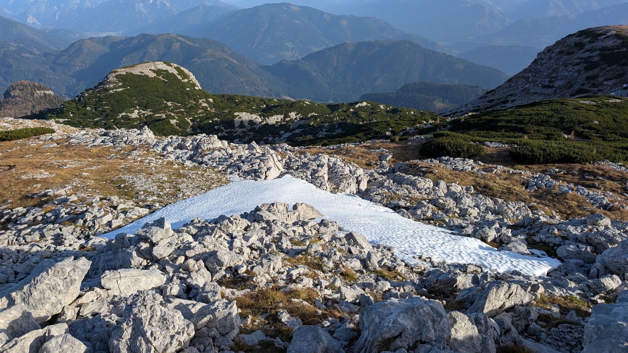
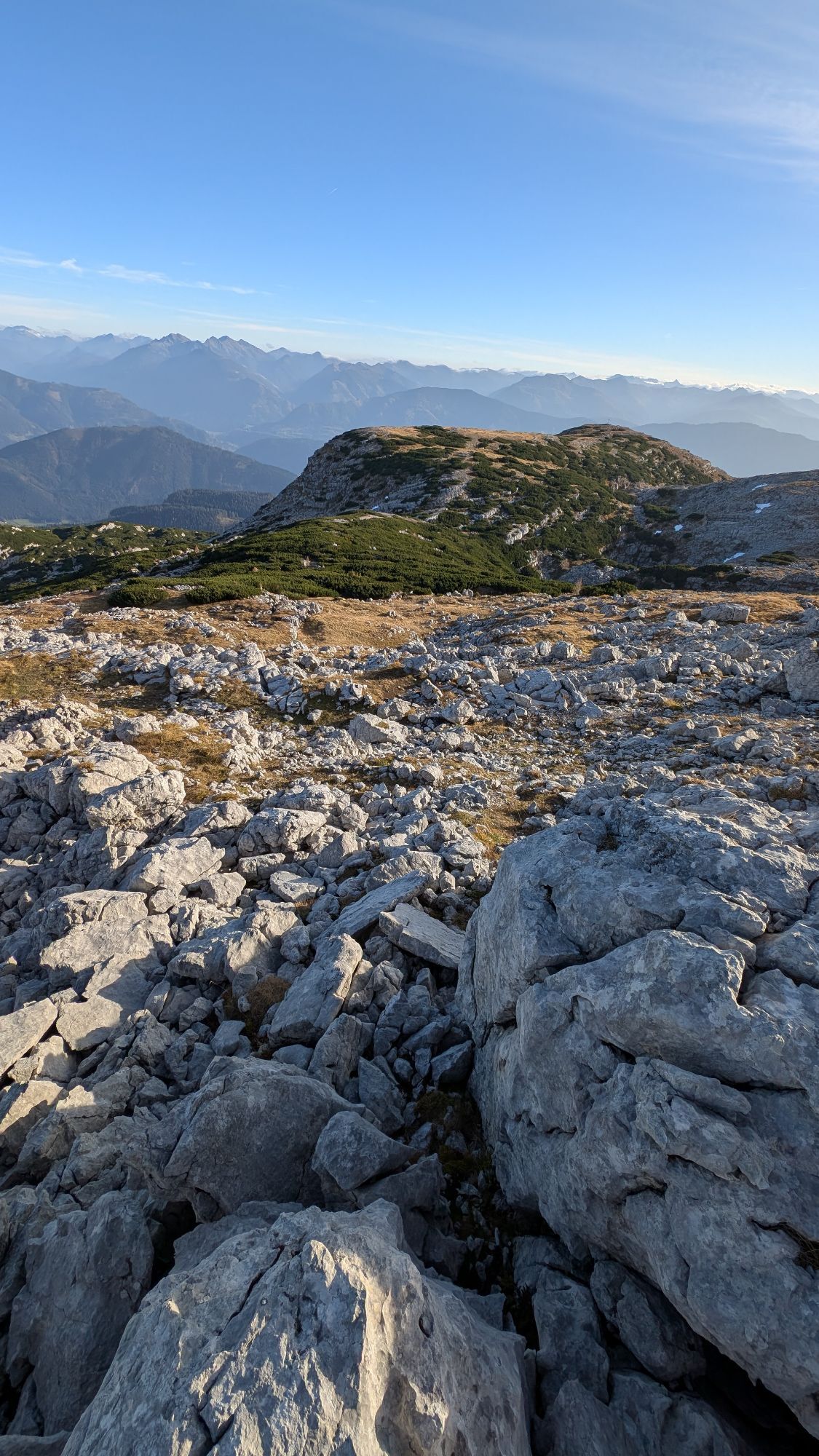
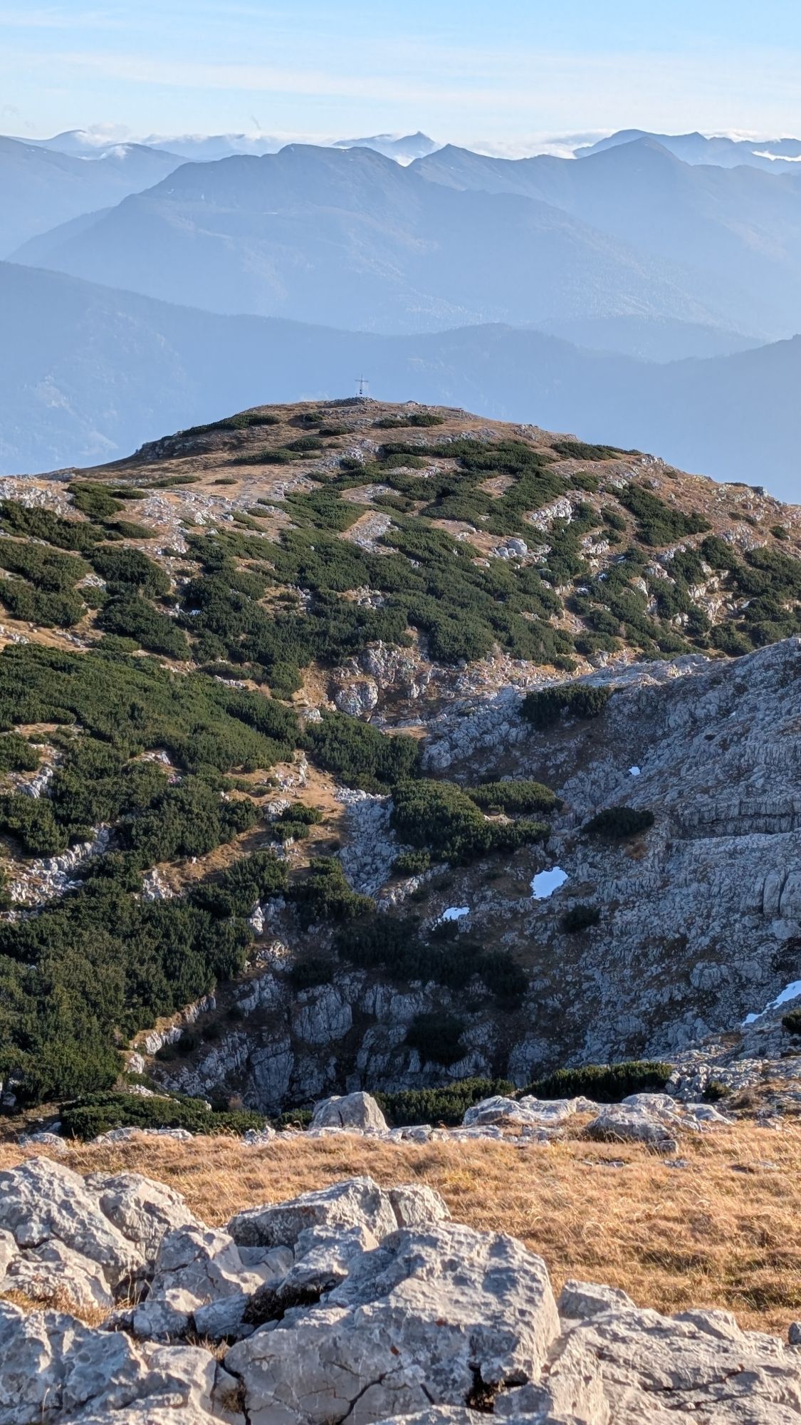
Photos from our users
-
 © Stefan RuhringerCreated on 07.09.2025
 -

 © Klaus LehnerCreated on 26.08.2025
 -
 © Klaus LehnerCreated on 26.08.2025
 -
 © Klaus LehnerCreated on 26.08.2025
 -
 © Klaus LehnerCreated on 26.08.2025
 -
 © Klaus LehnerCreated on 26.08.2025
 -
 © Klaus LehnerCreated on 26.08.2025
 -
 © Klaus LehnerCreated on 26.08.2025
 -
 © Klaus LehnerCreated on 26.08.2025
 -
 © Klaus LehnerCreated on 26.08.2025
 -
 © Klaus LehnerCreated on 26.08.2025
 -
 © Klaus LehnerCreated on 26.08.2025
 -
 © Klaus LehnerCreated on 26.08.2025
 -

 © Edith K.Created on 24.08.2025
 -
 © Edith K.Created on 24.08.2025
 -
 © Edith K.Created on 24.08.2025
 -
 © Edith K.Created on 24.08.2025
 -
 © Edith K.Created on 24.08.2025
 -
 © Edith K.Created on 24.08.2025
 -
 © Dani Geiger / Natur_erleben_dgCreated on 14.08.2025
 -
 © Dani Geiger / Natur_erleben_dgCreated on 14.08.2025
 -
 © Dani Geiger / Natur_erleben_dgCreated on 14.08.2025
 -
 © Dani Geiger / Natur_erleben_dgCreated on 14.08.2025
 -
 © Dani Geiger / Natur_erleben_dgCreated on 14.08.2025
 -
 © Dani Geiger / Natur_erleben_dgCreated on 14.08.2025
 -
 © Dani Geiger / Natur_erleben_dgCreated on 14.08.2025
 -
 © Dani Geiger / Natur_erleben_dgCreated on 14.08.2025
 -
 © Dani Geiger / Natur_erleben_dgCreated on 14.08.2025
 -
 © Dani Geiger / Natur_erleben_dgCreated on 14.08.2025
 -
 © AfaCreated on 22.06.2025
 -
 © AfaCreated on 22.06.2025
 -
 © AfaCreated on 22.06.2025
 -
 © Walter HollausCreated on 31.05.2025
 -
 © Walter HollausCreated on 31.05.2025
 -
 © Walter HollausCreated on 31.05.2025
 -
 © Richard K.Created on 20.10.2024
 -
 © Richard K.Created on 20.10.2024
 -
 © Richard K.Created on 20.10.2024
 -
 © Richard K.Created on 20.10.2024
 -
 © Richard K.Created on 20.10.2024
 -
 © Richard K.Created on 20.10.2024
 -
 © Richard K.Created on 20.10.2024
 -
 © Richard K.Created on 20.10.2024
 -
 © Richard K.Created on 20.10.2024
 -
 © Richard K.Created on 20.10.2024
 -
 © Richard K.Created on 20.10.2024
 -
 © Richard K.Created on 20.10.2024
 -
 © Richard K.Created on 20.10.2024


No reviews yet
Popular tours in the neighbourhood
-
4,9
Nazogel und Angerkogel
mediumPješačenje 10,9 km -
4,5
Von der Bosruckhütte auf den Großen Pyhrgas
heavyPješačenje 9,57 km -
4,8
Kleiner Pyhrgas
mediumPješačenje 9,64 km -
4,6
Bosruck, Lahnerkogel Kitzstein
mediumPješačenje 11,2 km -
4,6
Dr. Vogelsangklamm 2 (3) Hütten Rundwanderung
mediumPješačenje 11,2 km -
4,4
Stodertaler Dolomitensteig
heavyPješačenje 10,1 km -
4,4
Vorderstoder Zellerhütte Warscheneck retour 09.07.2015
mediumPješačenje 15,8 km -
4,4
Karleckrunde über die Ochsenwaldalm
mediumPješačenje 8,40 km -
4,4
Seespitz, Gleinkersee
mediumPješačenje 8,70 km -
4,7
Warscheneck vom Schafferteich via Zellerhütte
mediumPješačenje 15,9 km
bergfex Tours

Over 550.000 tour suggestions, detailed maps and an intuitive route planner make the app a must-have for all nature enthusiasts.

Ne propustite ponude i inspiraciju za vaš sljedeći odmor
Subscribe to the newsletter
Error
An error has occurred. Please try again.
Thank you for your registration
Your e-mail address has been added to the mailing list.
Tours throughout Europe
Austrija
Švicarska
Njemačka
Italija
Slovenija
Francuska
Nizozemska
Belgija
Poljska
Lihtenštajn
Češka
Slovačka
Španija
Hrvatska
Bosna i Hercegovina
Luksemburg
Andora
Portugal
Island
Ujedinjeno Kraljevstvo
Irska
Grčka
Albanija
Sjeverna Makedonija
Malta
Norveška
Crna Gora
Moldova
Kosovo
Mađarska
San Marino
Rumunjska
Estonija
Latvija
Bjelorusija
Cipar
Litva
Srbija
Bugarska
Monako
Danska
Švedska
Finska