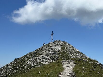
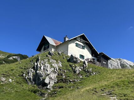
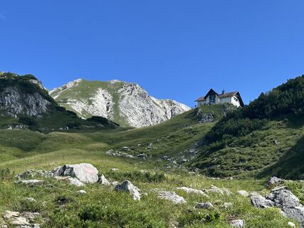
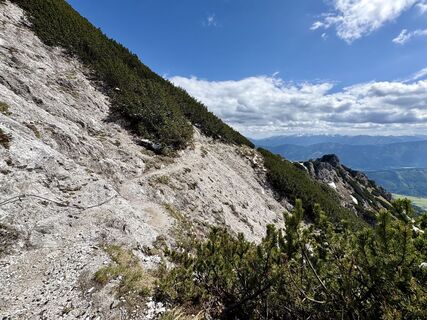
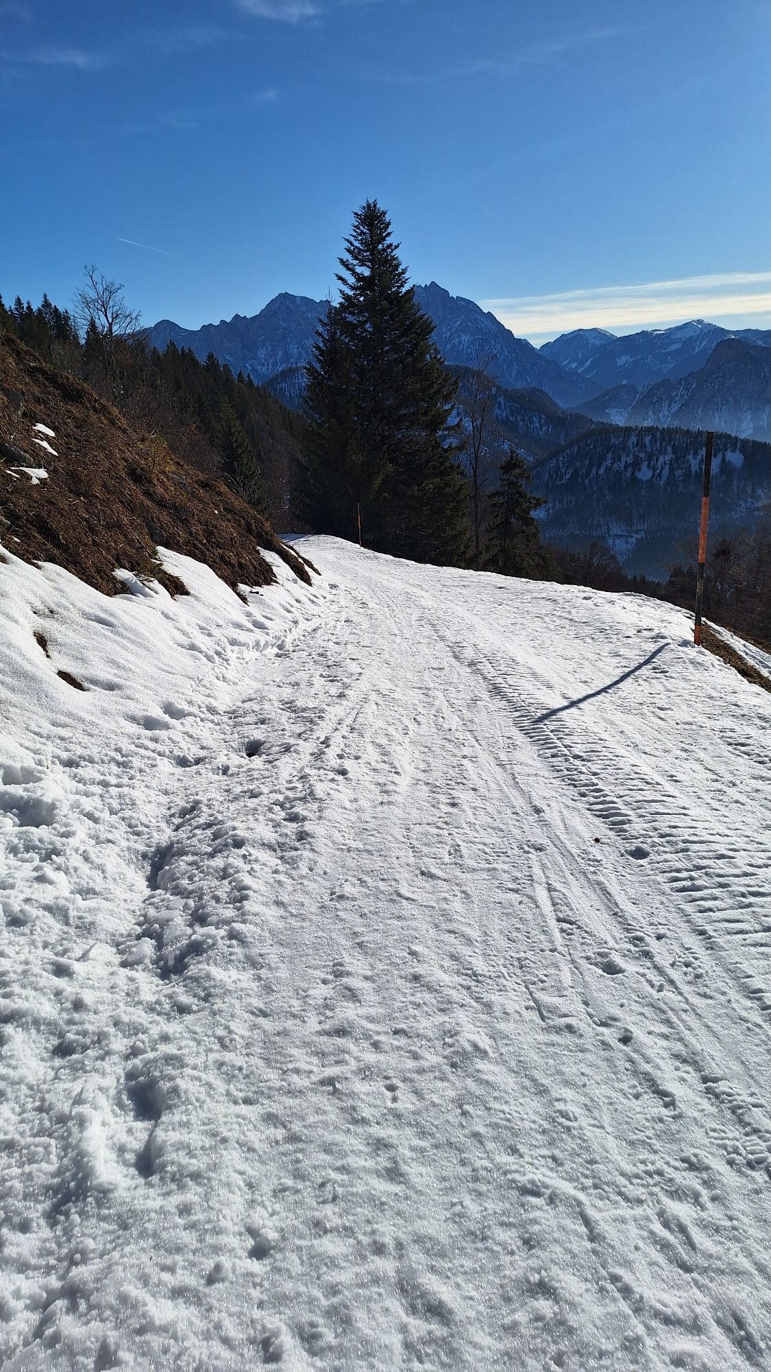
Natterriegel u. Mittagskogel
Pješačenje
Navigate
Navigate
Get this tour on your mobile
Natterriegel u. Mittagskogel
Pješačenje
13,48
km
Scan the QR code and start navigation in the bergfex app

Hiking & Tracking


Distance
13,48
km
Duration
05:15
h
Ascent
1.304
m
Sea level
863 -
2.062
m
Track download
Natterriegel u. Mittagskogel
Pješačenje
13,48
km


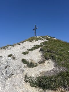
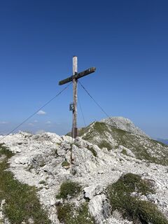
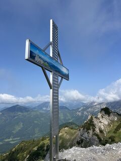
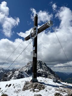
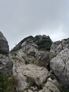
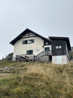
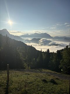
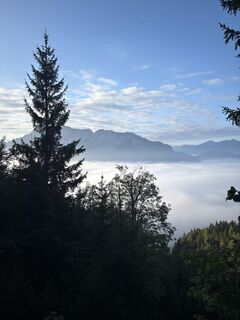
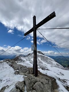
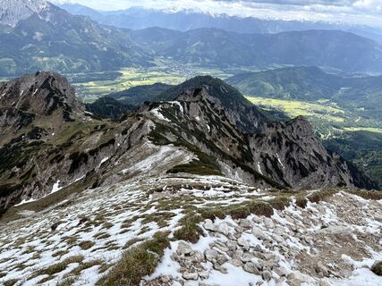
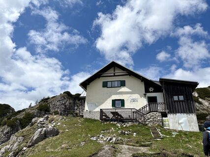
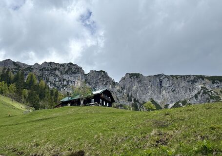
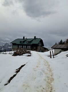
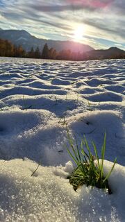
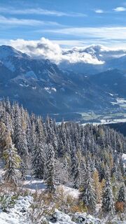
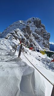
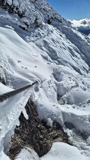
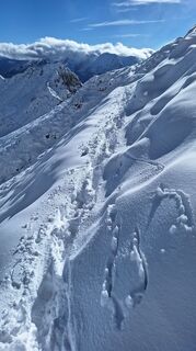
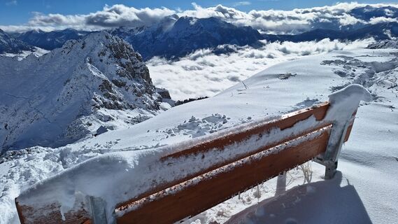
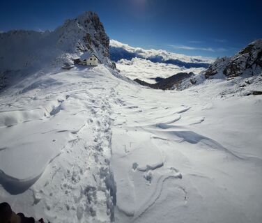
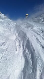
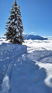
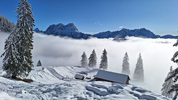
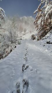
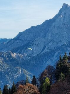
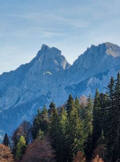
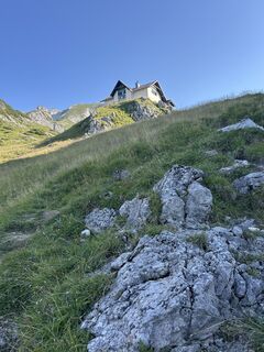
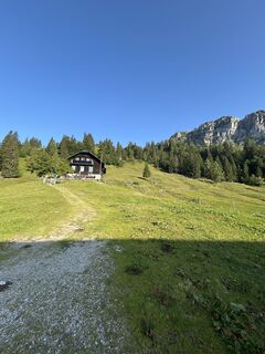
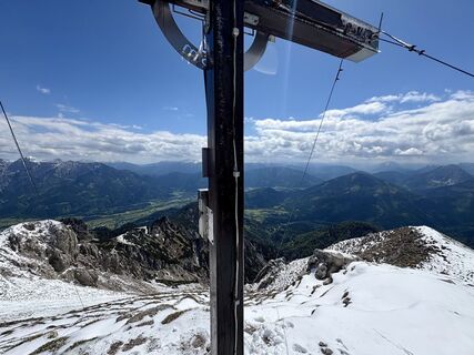
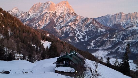
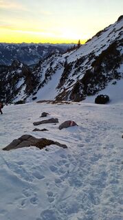
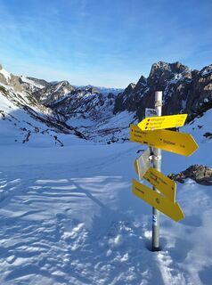
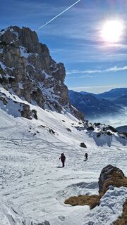
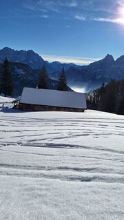
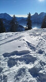
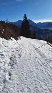
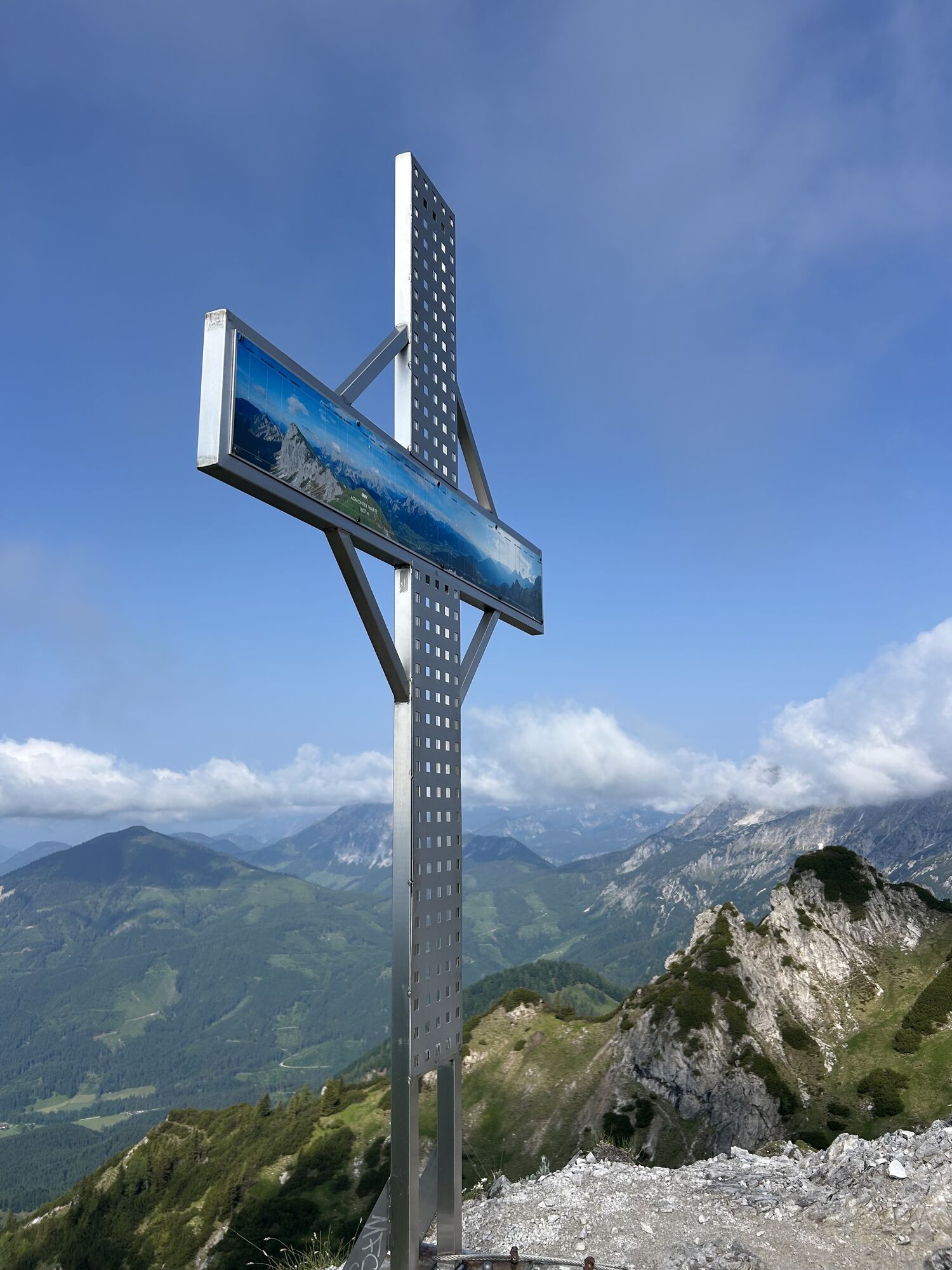
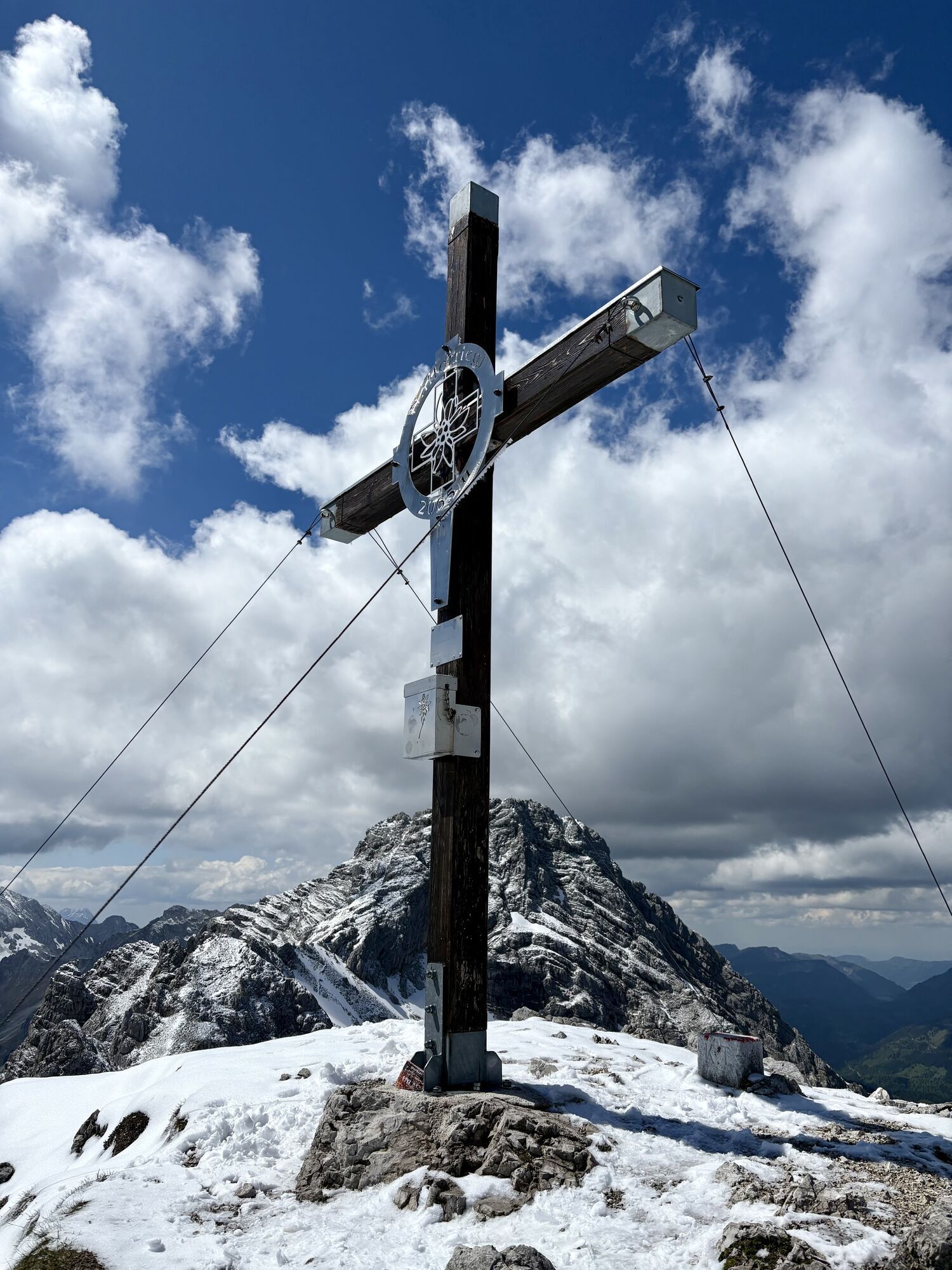
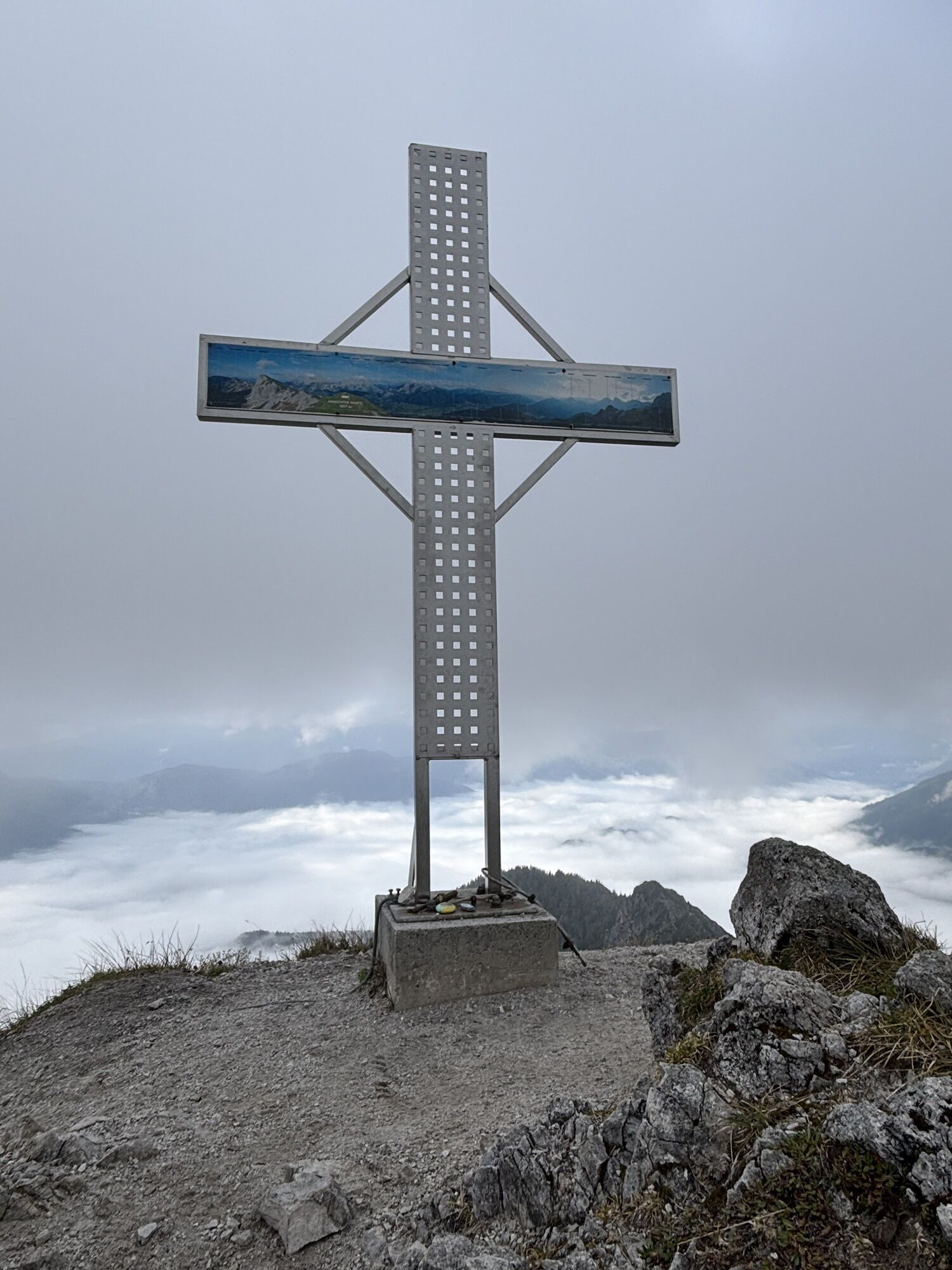
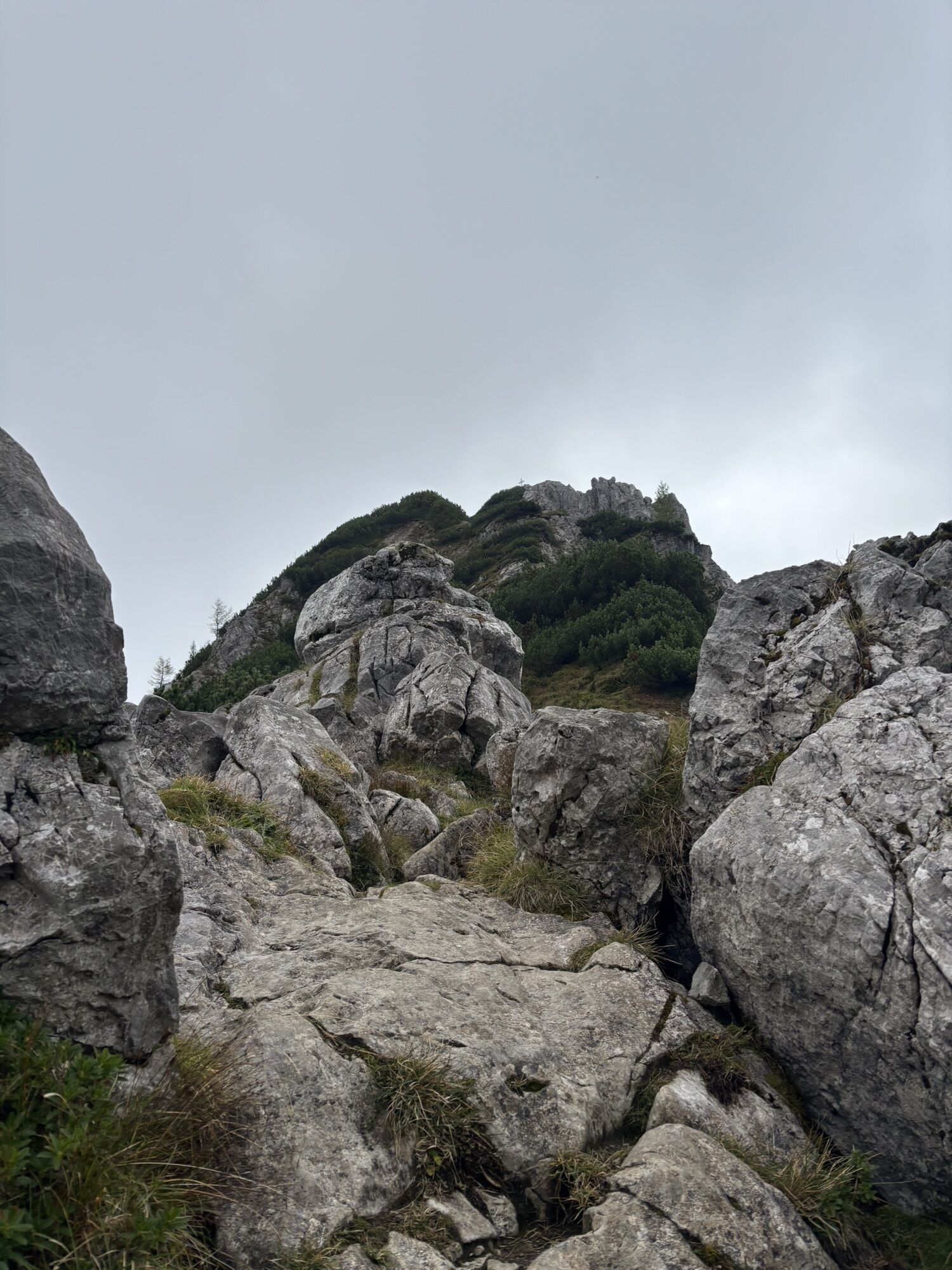
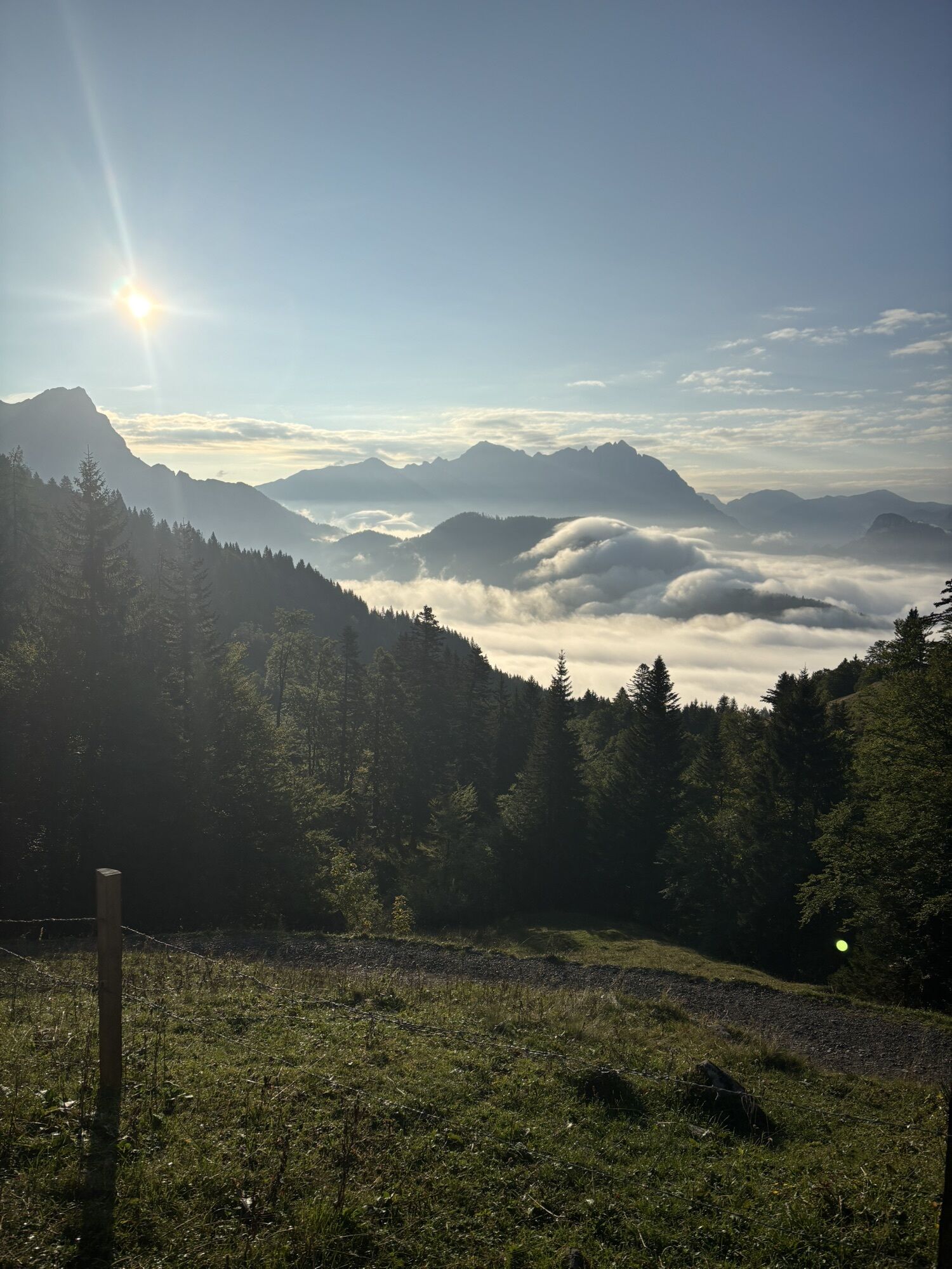
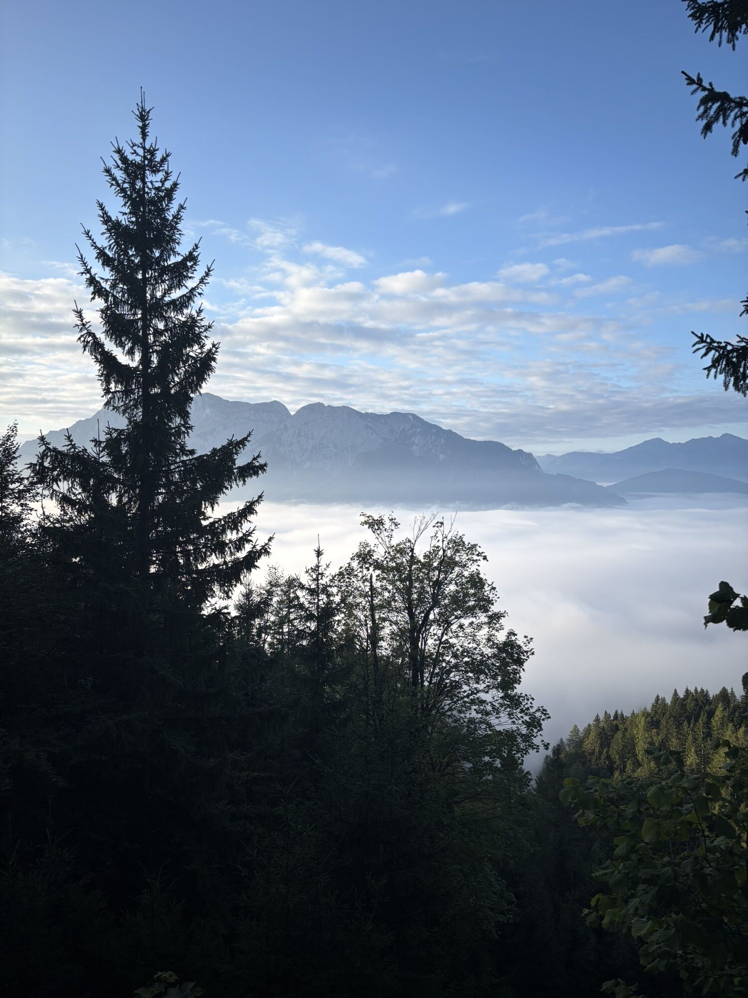
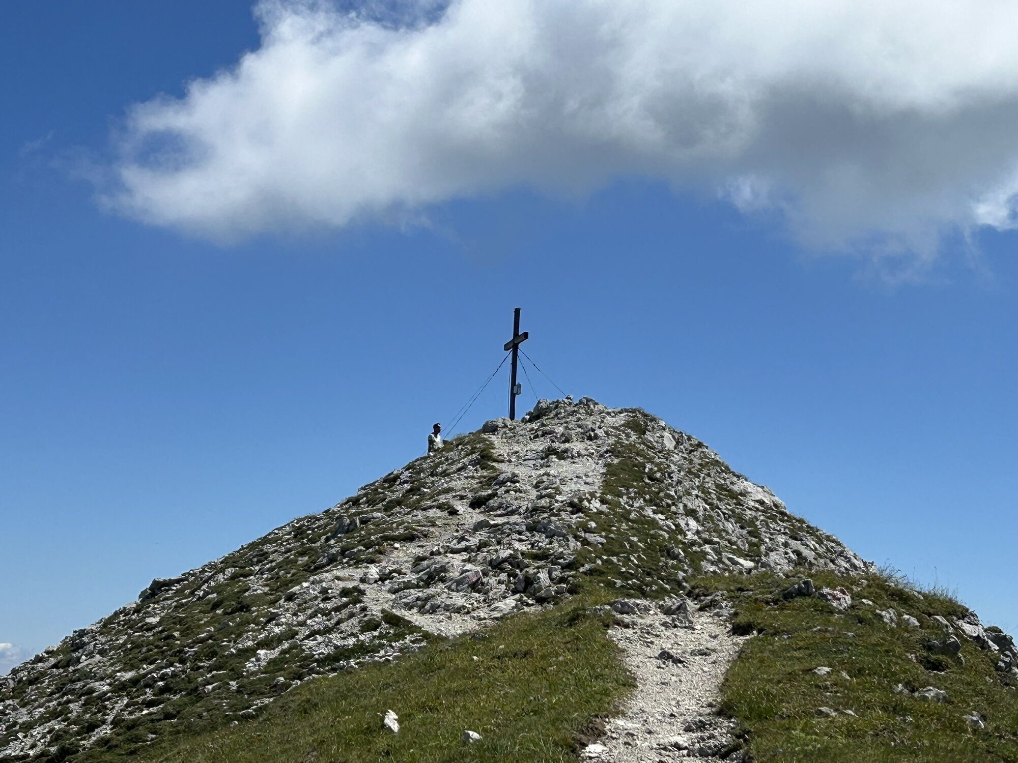
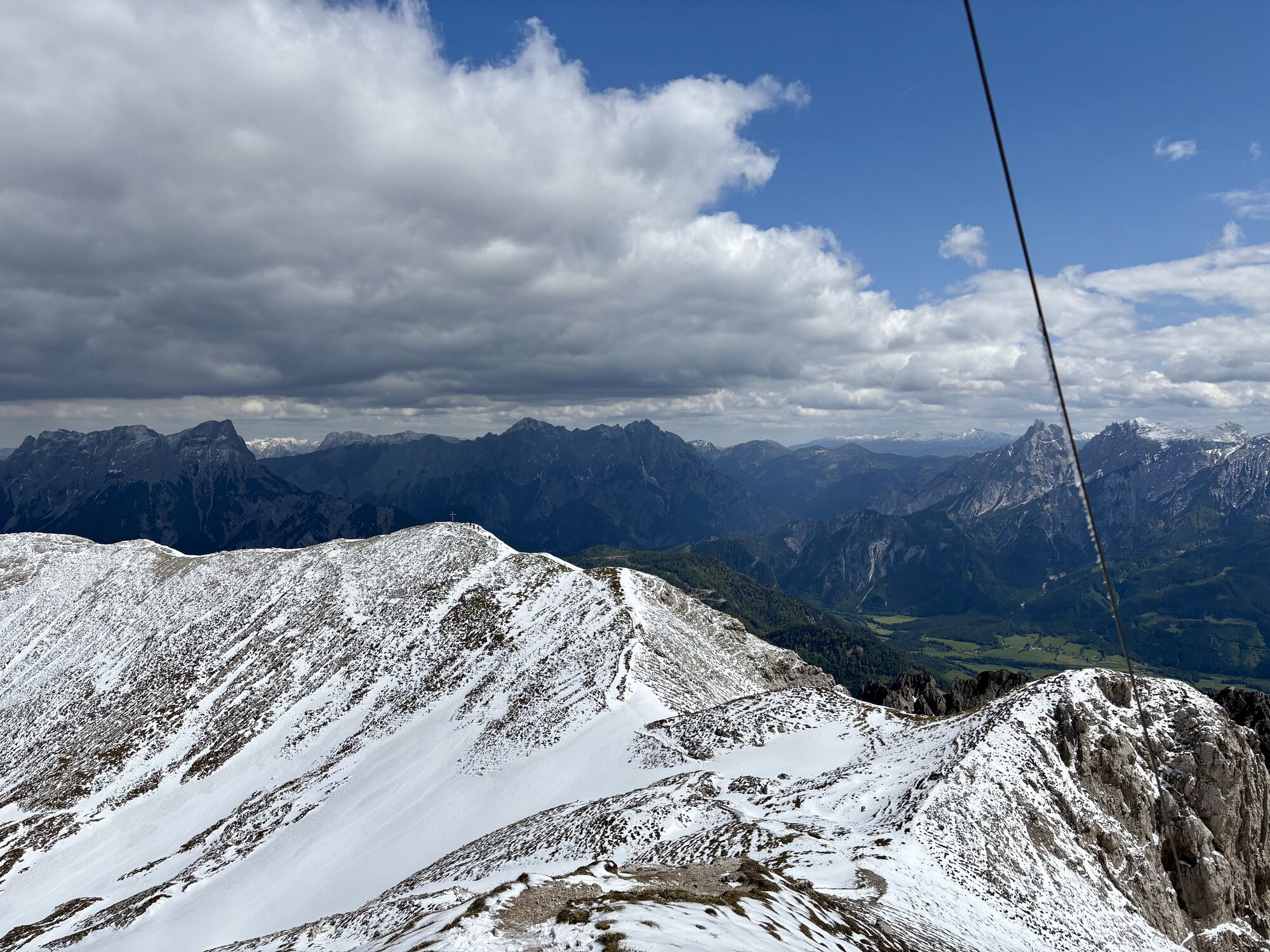
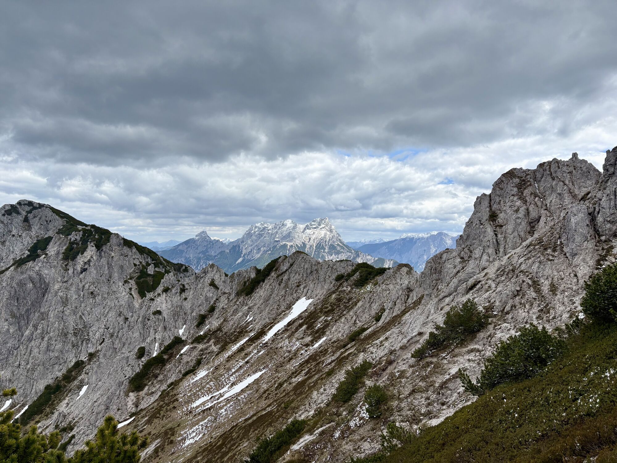
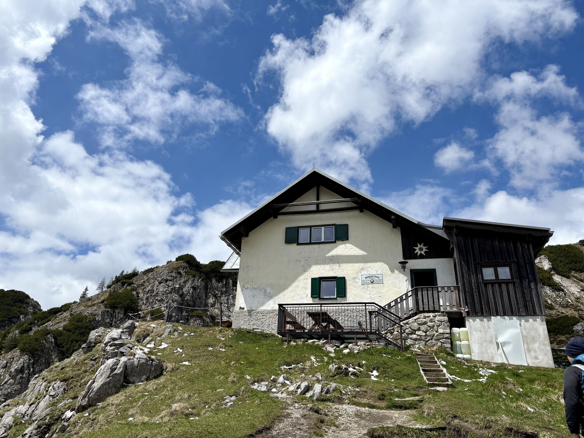
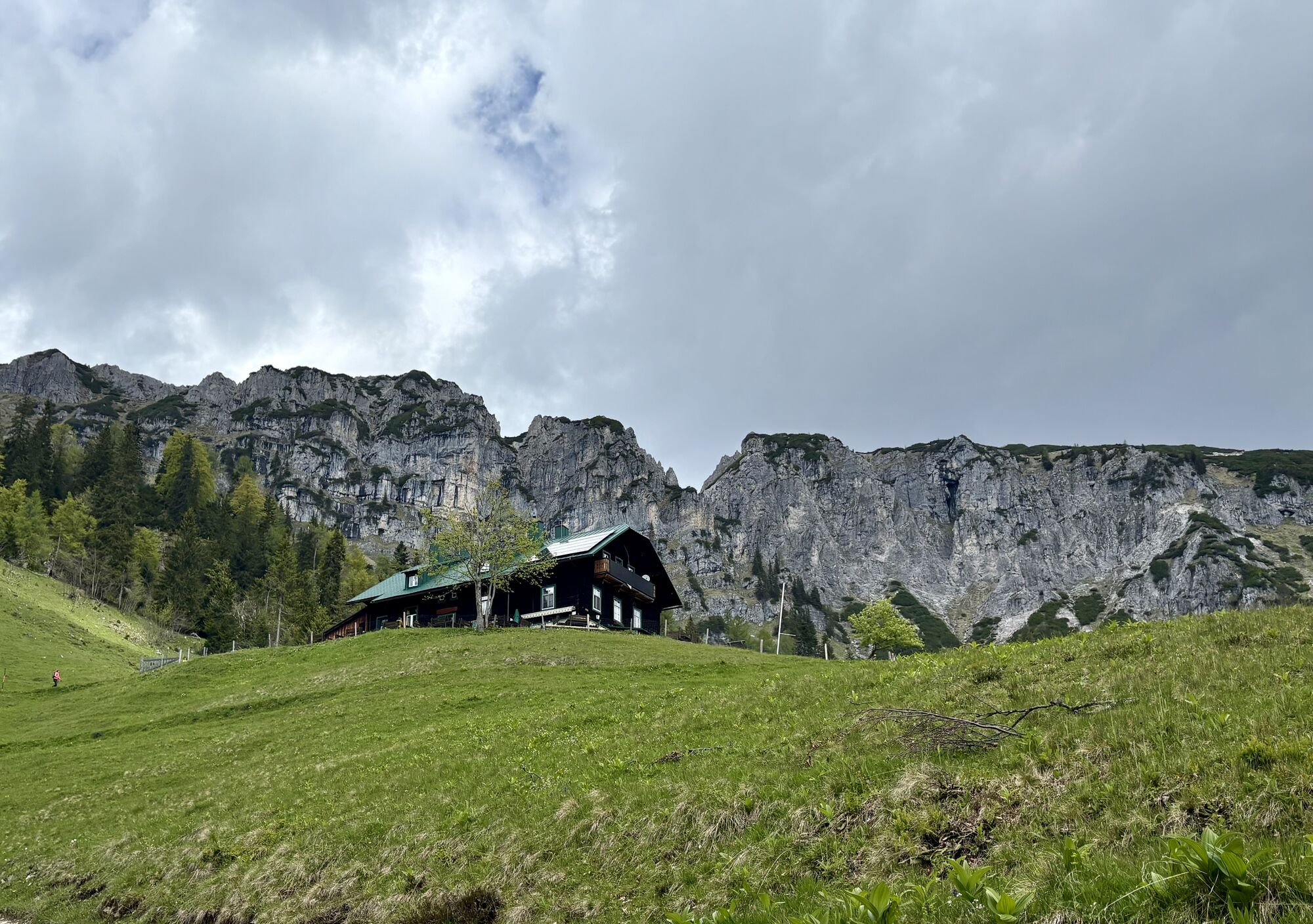
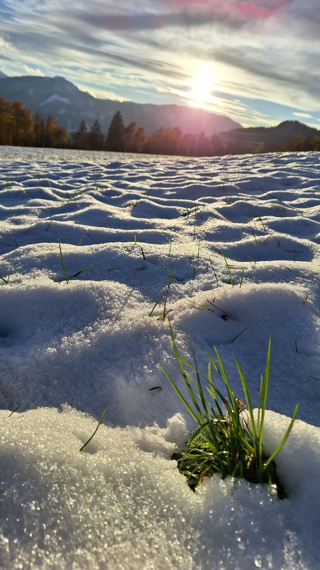
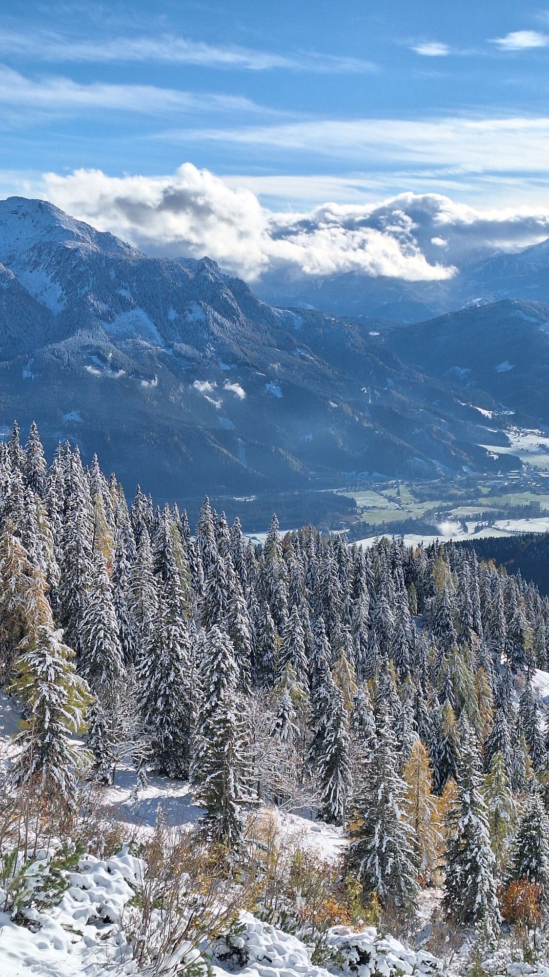
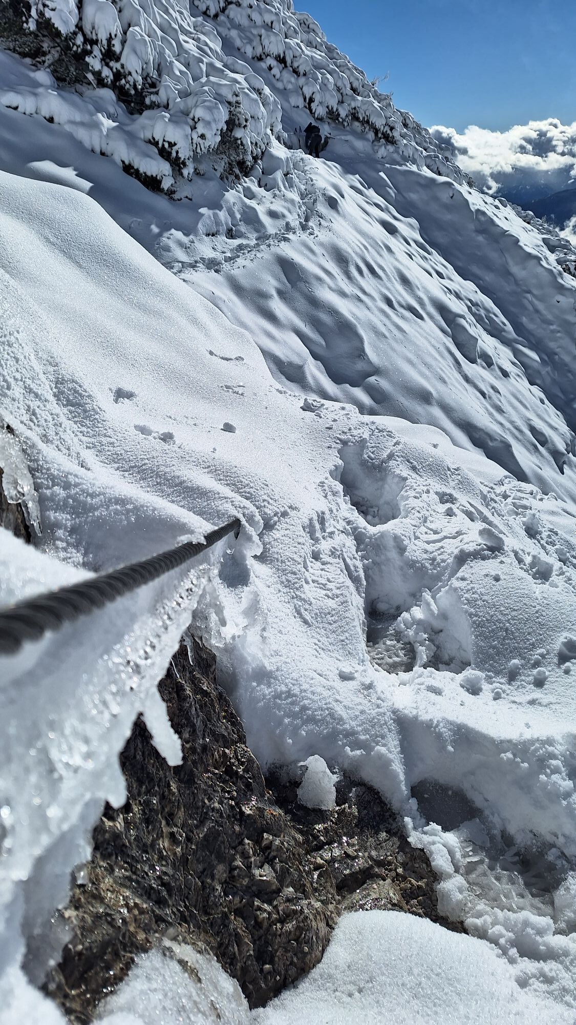
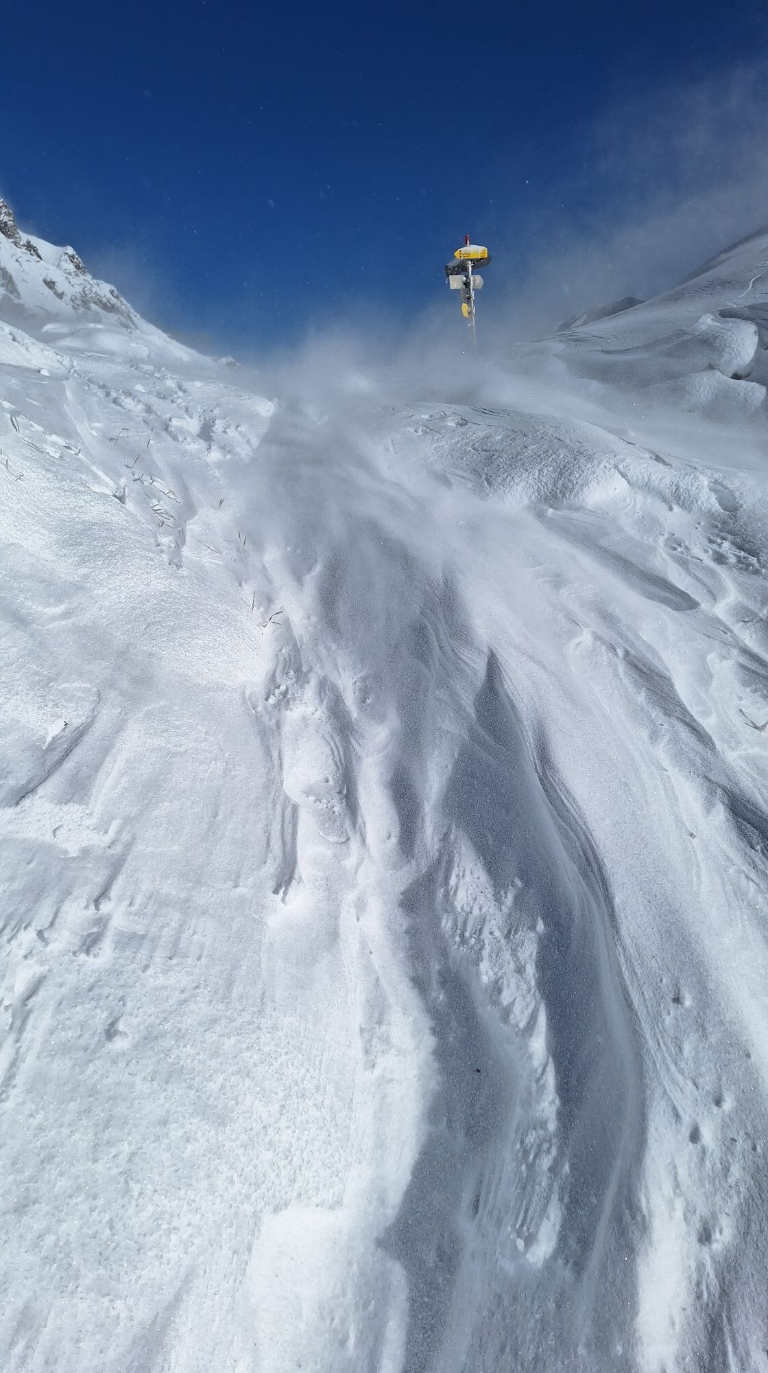
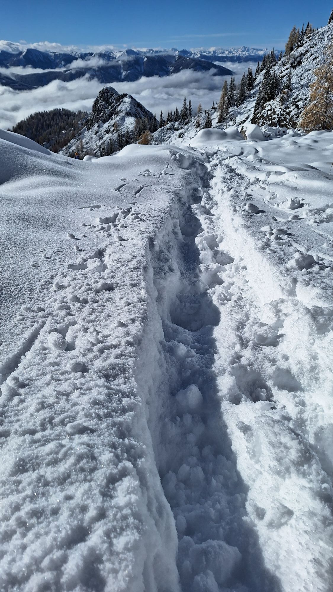
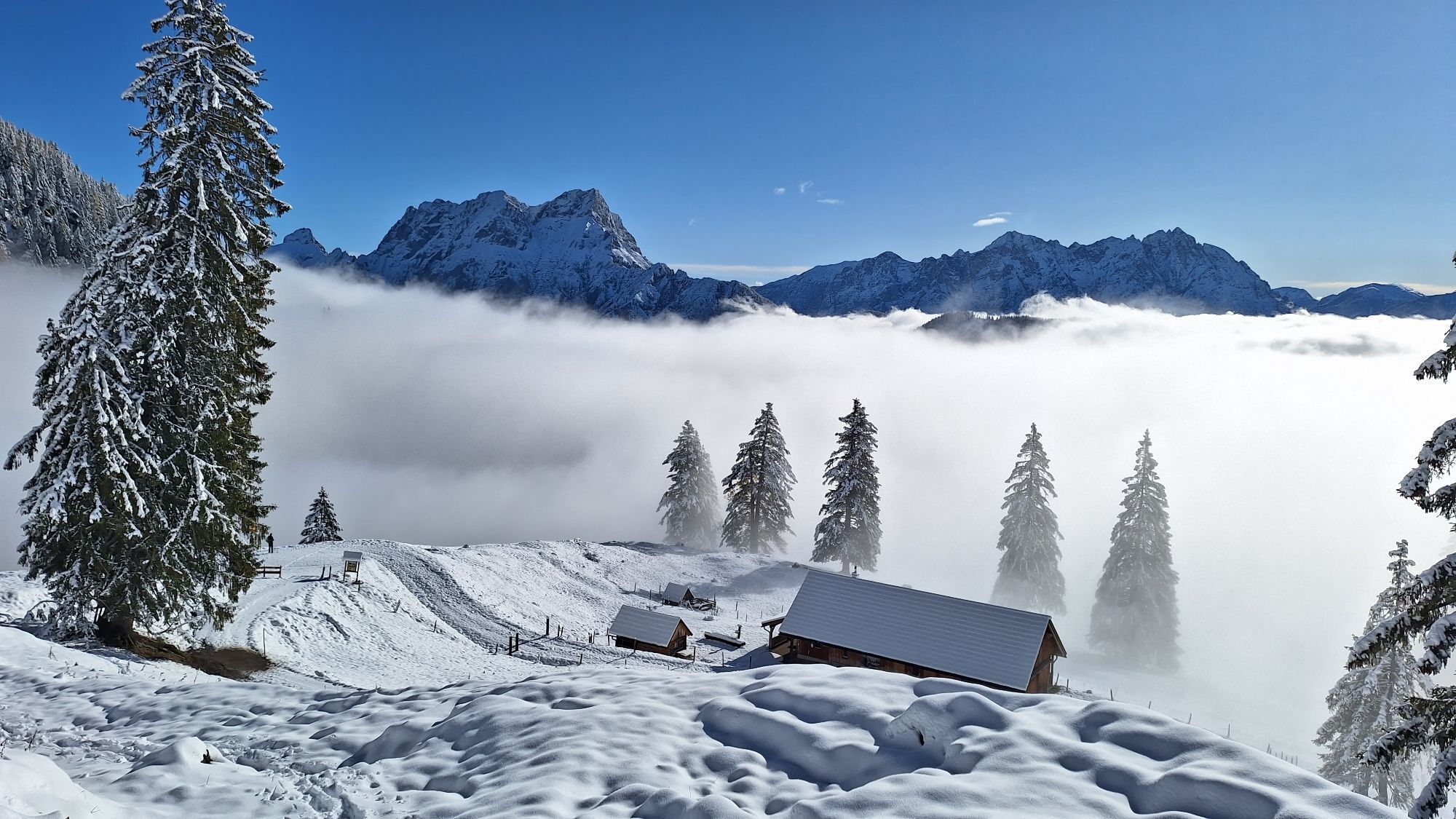
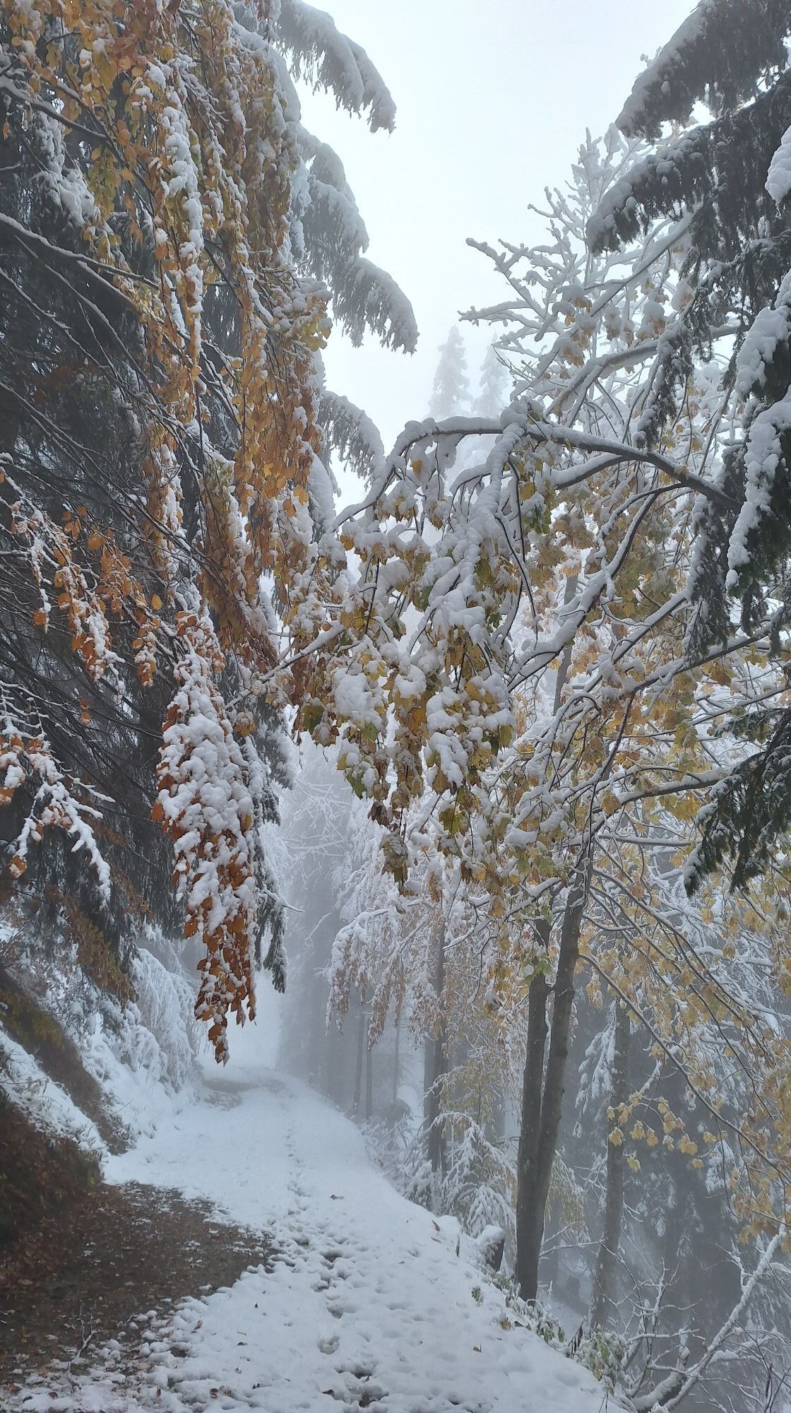
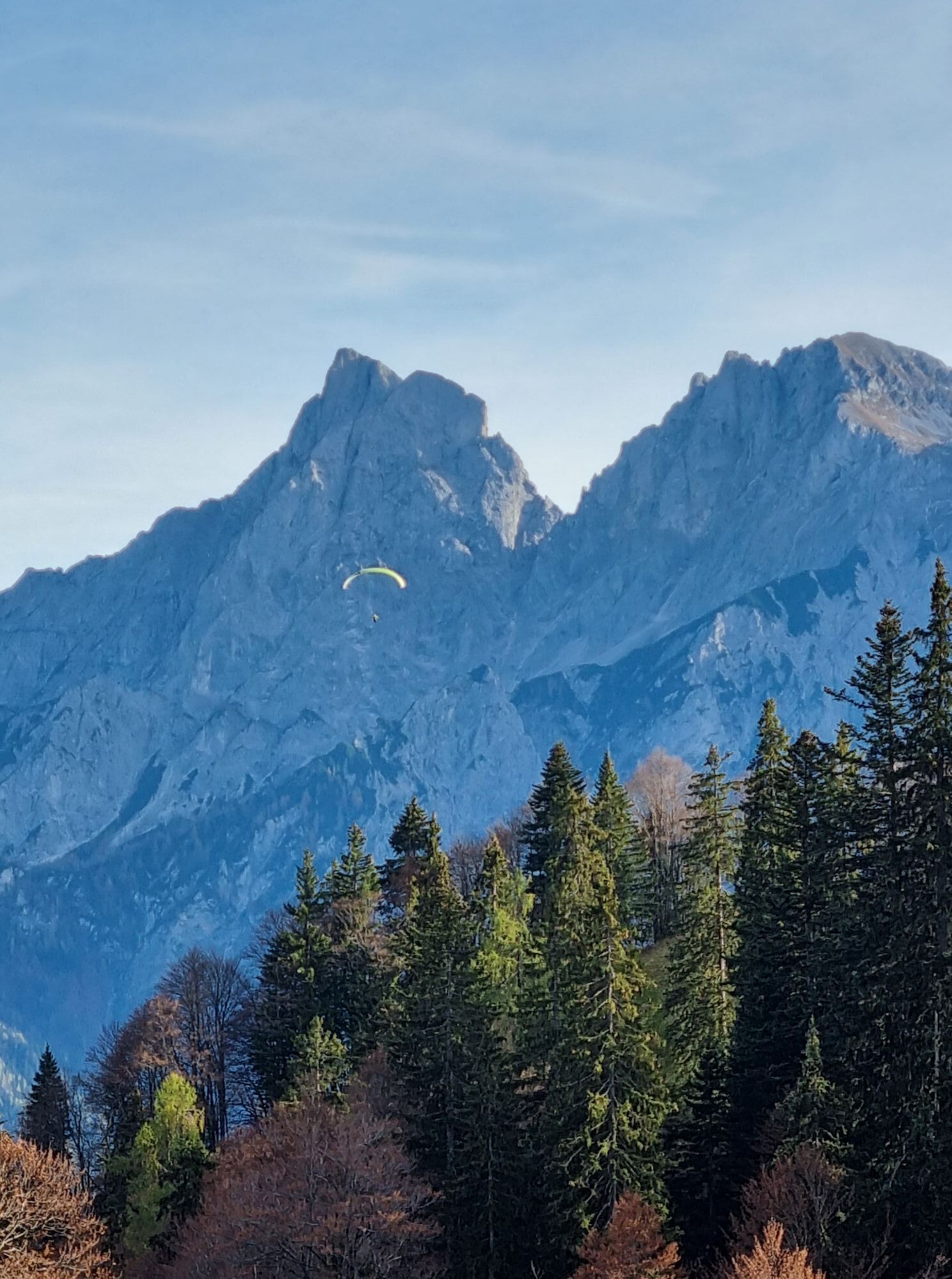
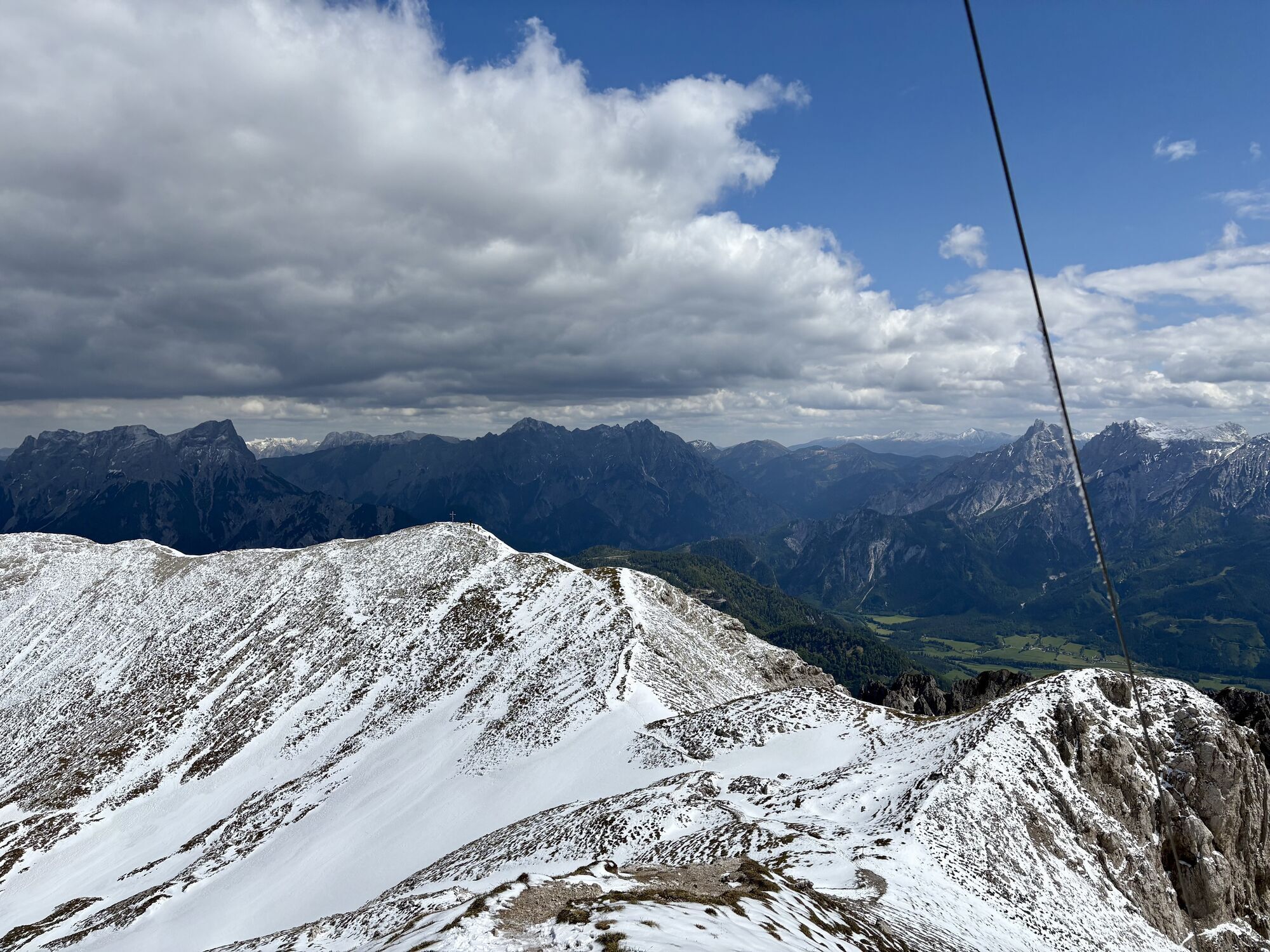
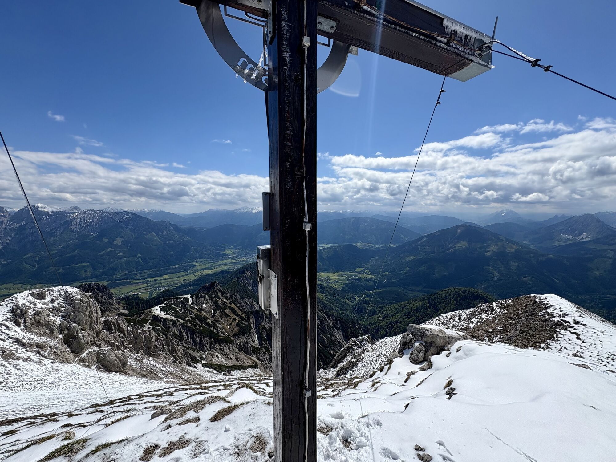
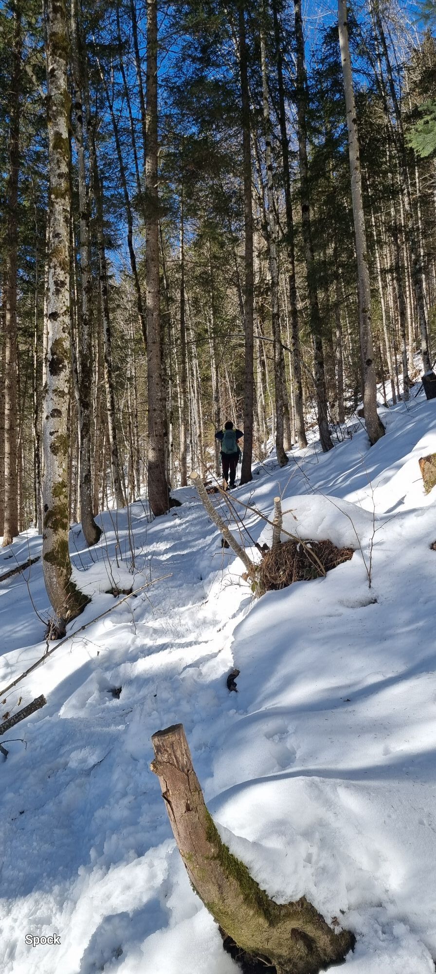
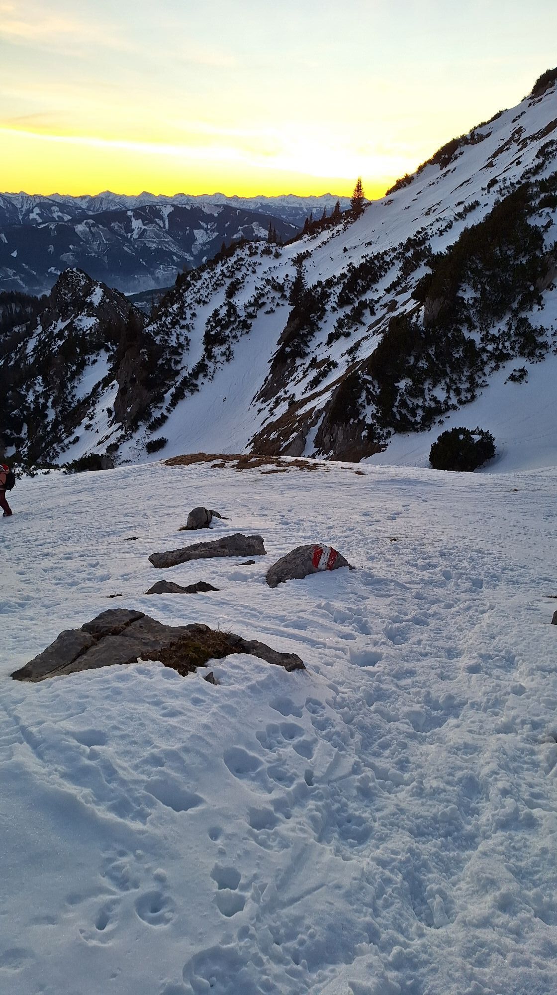
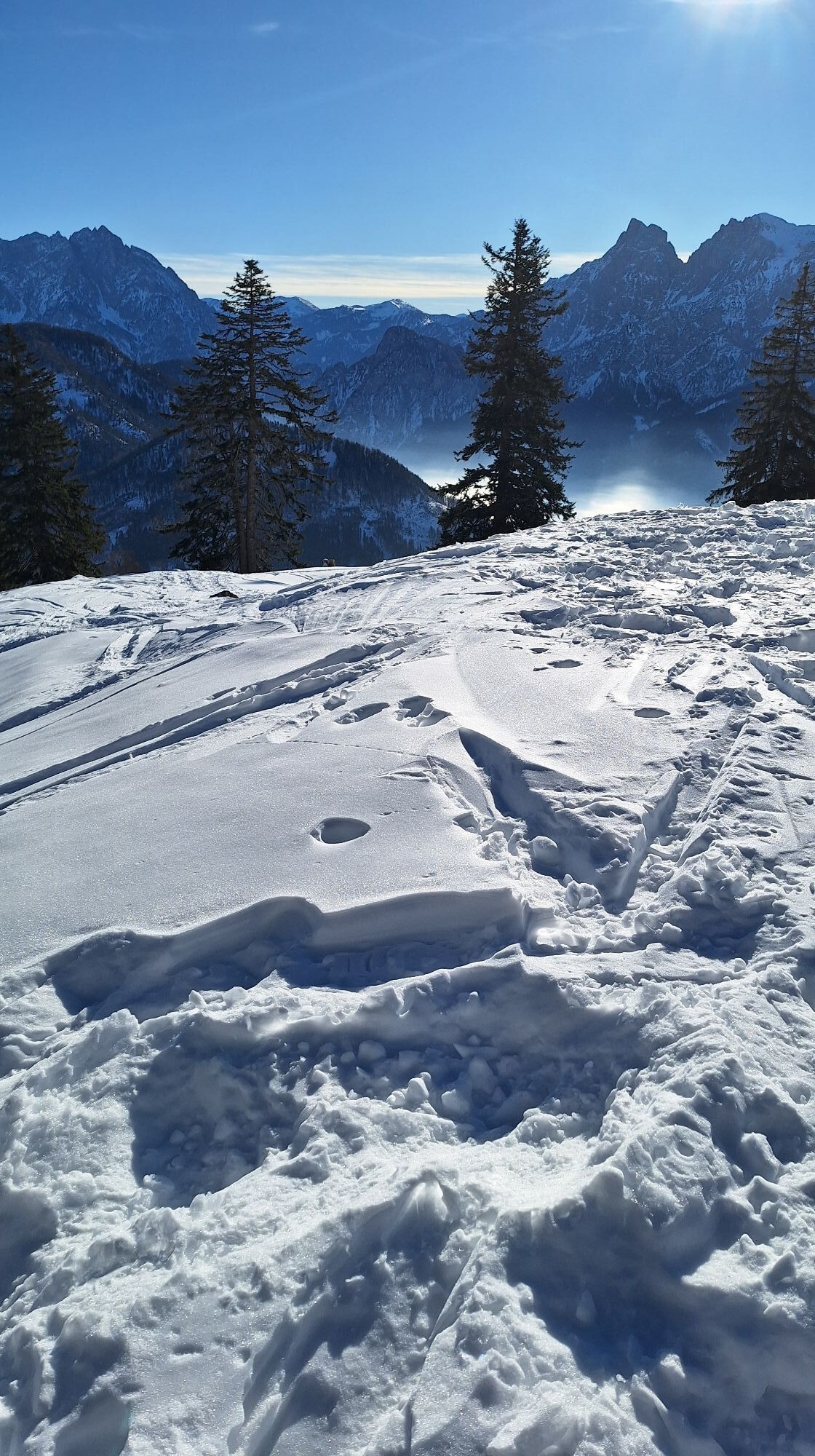
Photos from our users
-
 © Agnes DohoczkiCreated on 10.08.2025
 -
 © Agnes DohoczkiCreated on 10.08.2025
 -
 © Agnes DohoczkiCreated on 09.06.2025
 -
 © Irene B.Created on 24.05.2025
 -
 © Irene B.Created on 24.05.2025
 -

 © Berg NoarCreated on 28.09.2025
 -
 © Berg NoarCreated on 28.09.2025
 -
 © Berg NoarCreated on 28.09.2025
 -
 © Berg NoarCreated on 28.09.2025
 -
 © Berg NoarCreated on 28.09.2025
 -
 © Stefan RuhringerCreated on 19.07.2025
 -
 © Stefan RuhringerCreated on 19.07.2025
 -
 © Stefan RuhringerCreated on 19.07.2025
 -
 © Irene B.Created on 24.05.2025
 -
 © Irene B.Created on 24.05.2025
 -
 © Irene B.Created on 24.05.2025
 -
 © Irene B.Created on 24.05.2025
 -
 © Irene B.Created on 24.05.2025
 -
 © Irene B.Created on 24.05.2025
 -
 © Irene B.Created on 24.05.2025
 -
 © Silke Maier 1Created on 10.03.2025
 -
 © Aga MCreated on 04.11.2023
 -
 © Aga MCreated on 04.11.2023
 -
 © Aga MCreated on 04.11.2023
 -
 © Aga MCreated on 04.11.2023
 -
 © Aga MCreated on 04.11.2023
 -
 © Aga MCreated on 04.11.2023
 -
 © Aga MCreated on 04.11.2023
 -
 © Aga MCreated on 04.11.2023
 -
 © Aga MCreated on 04.11.2023
 -
 © Aga MCreated on 04.11.2023
 -
 © Aga MCreated on 04.11.2023
 -
 © Aga MCreated on 04.11.2023
 -
 © Aga MCreated on 04.11.2023
 -
 © Thomas Reickersdorfer ReickiCreated on 23.10.2022
 -
 © Thomas Reickersdorfer ReickiCreated on 23.10.2022
 -
 © Agnes DohoczkiCreated on 10.08.2025
 -
 © Agnes DohoczkiCreated on 10.08.2025
 -
 © Irene B.Created on 24.05.2025
 -
 © Irene B.Created on 24.05.2025
 -

 © Mario LibardiCreated on 19.01.2025
 -
 © Aga MCreated on 01.01.2025
 -
 © Aga MCreated on 01.01.2025
 -
 © Aga MCreated on 01.01.2025
 -
 © Aga MCreated on 01.01.2025
 -
 © Aga MCreated on 01.01.2025
 -
 © Aga MCreated on 01.01.2025
 -
 © Aga MCreated on 01.01.2025


No reviews yet
Popular tours in the neighbourhood
-
4,4
Gstatterboden: Buchsteinhaus
Pješačenje 5,91 km -
4,5
Über den Wasserfallweg auf die Planspitze und über die Hesshütte hinunter nach Johnsbach
heavyPješačenje 14,1 km -
4,5
Von der Bosruckhütte auf den Großen Pyhrgas
heavyPješačenje 9,57 km -
4,5
Über die Gsengscharte auf die Haindlkarhütte
mediumPješačenje 8,38 km -
4,8
3-Gipfeltour auf den Admonter Kalbling, Sparafeld und Riffel von der Oberst Klinkehütte
mediumPješačenje 8,13 km -
4,7
Kaiserau - Klinkehütte - Lahngangkogel - Wagenbänkalm
mediumZimsko planinarenje 9,57 km -
4,8
Kleiner Pyhrgas
mediumPješačenje 9,64 km -
4,7
3 Gipfel Tour im Gesäuse (Kreuzkogel, Riffel und Admonter Kalbling)
mediumPješačenje 13 km -
4,6
Bosruck, Lahnerkogel Kitzstein
mediumPješačenje 11,2 km -
4,6
Dr. Vogelsangklamm 2 (3) Hütten Rundwanderung
mediumPješačenje 11,2 km
bergfex Tours

Over 550.000 tour suggestions, detailed maps and an intuitive route planner make the app a must-have for all nature enthusiasts.

Ne propustite ponude i inspiraciju za vaš sljedeći odmor
Subscribe to the newsletter
Error
An error has occurred. Please try again.
Thank you for your registration
Your e-mail address has been added to the mailing list.
Tours throughout Europe
Austrija
Švicarska
Njemačka
Italija
Slovenija
Francuska
Nizozemska
Belgija
Poljska
Lihtenštajn
Češka
Slovačka
Španija
Hrvatska
Bosna i Hercegovina
Luksemburg
Andora
Portugal
Island
Ujedinjeno Kraljevstvo
Irska
Grčka
Albanija
Sjeverna Makedonija
Malta
Norveška
Crna Gora
Moldova
Kosovo
Mađarska
San Marino
Rumunjska
Estonija
Latvija
Bjelorusija
Cipar
Litva
Srbija
Bugarska
Monako
Danska
Švedska
Finska