Franz Lehár
Mountainbike
Navigate
Navigate
Get this tour on your mobile
Franz Lehár
Mountainbike
69,62
km
Scan the QR code and start navigation in the bergfex app

Hiking & Tracking


Distance
69,62
km
Duration
05:34
h
Ascent
1.641
m
Sea level
467 -
1.365
m
Track download
Franz Lehár
Mountainbike
69,62
km


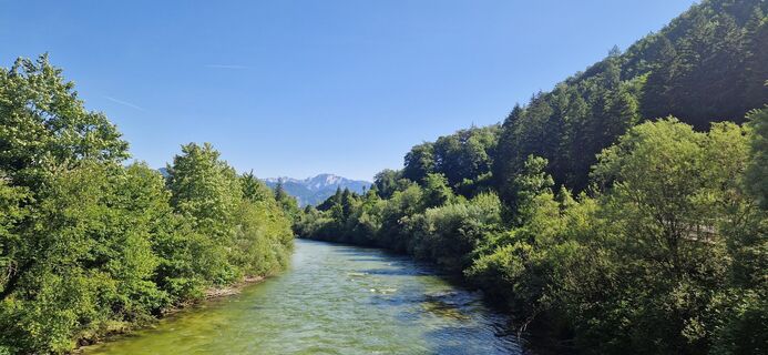
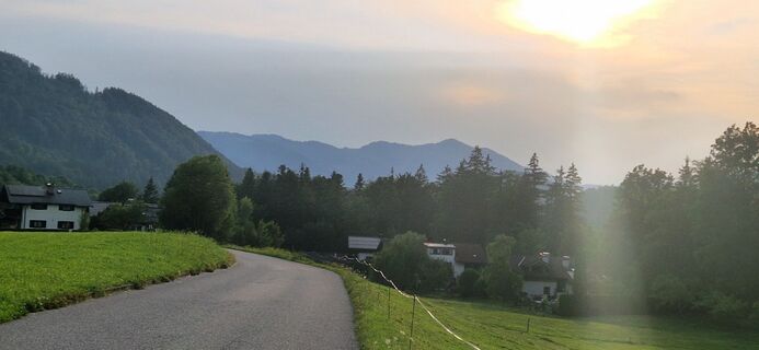
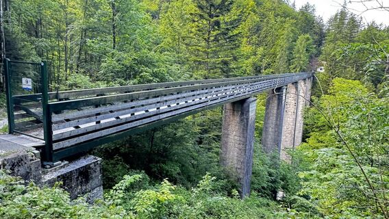
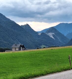
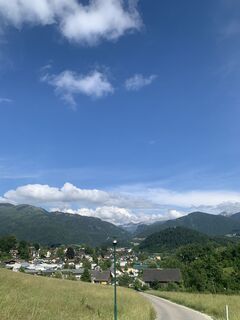
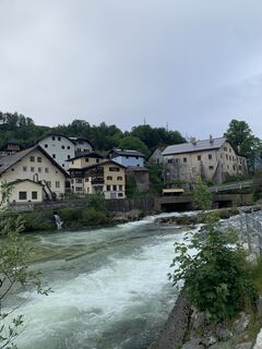
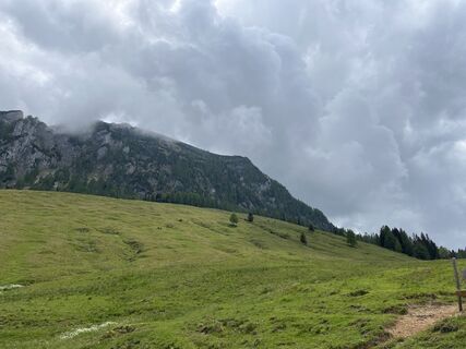
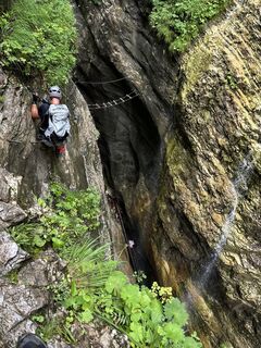
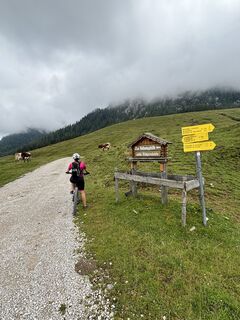
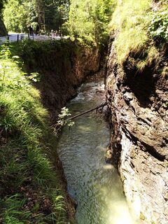
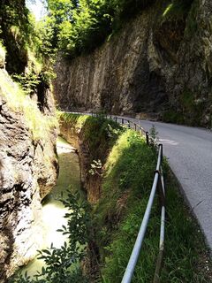
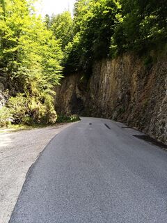
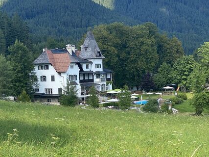
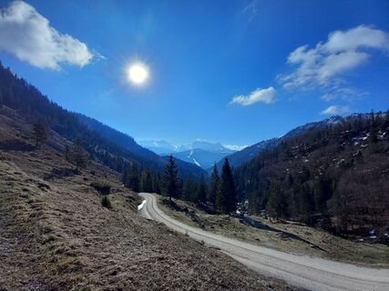
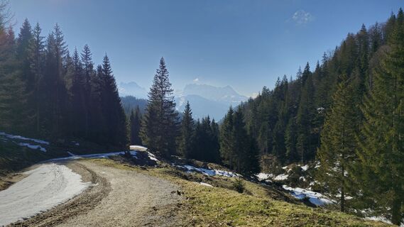
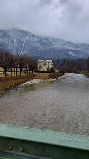
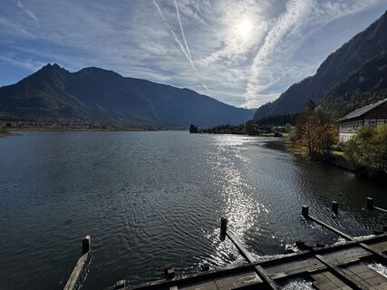
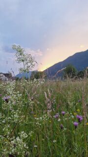
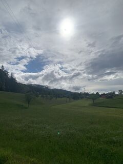
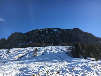
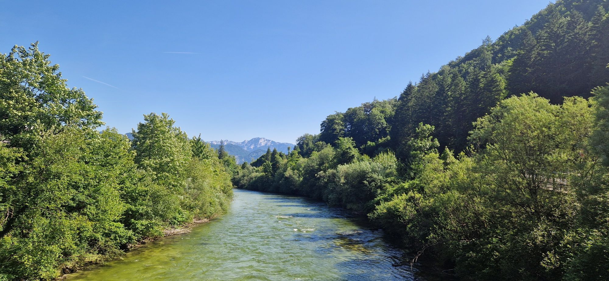
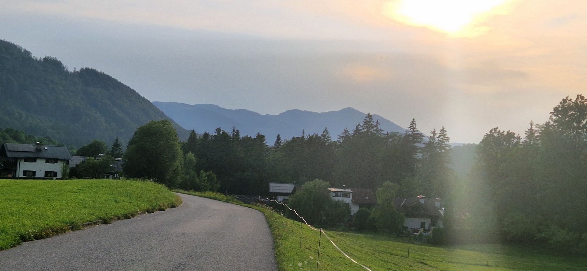
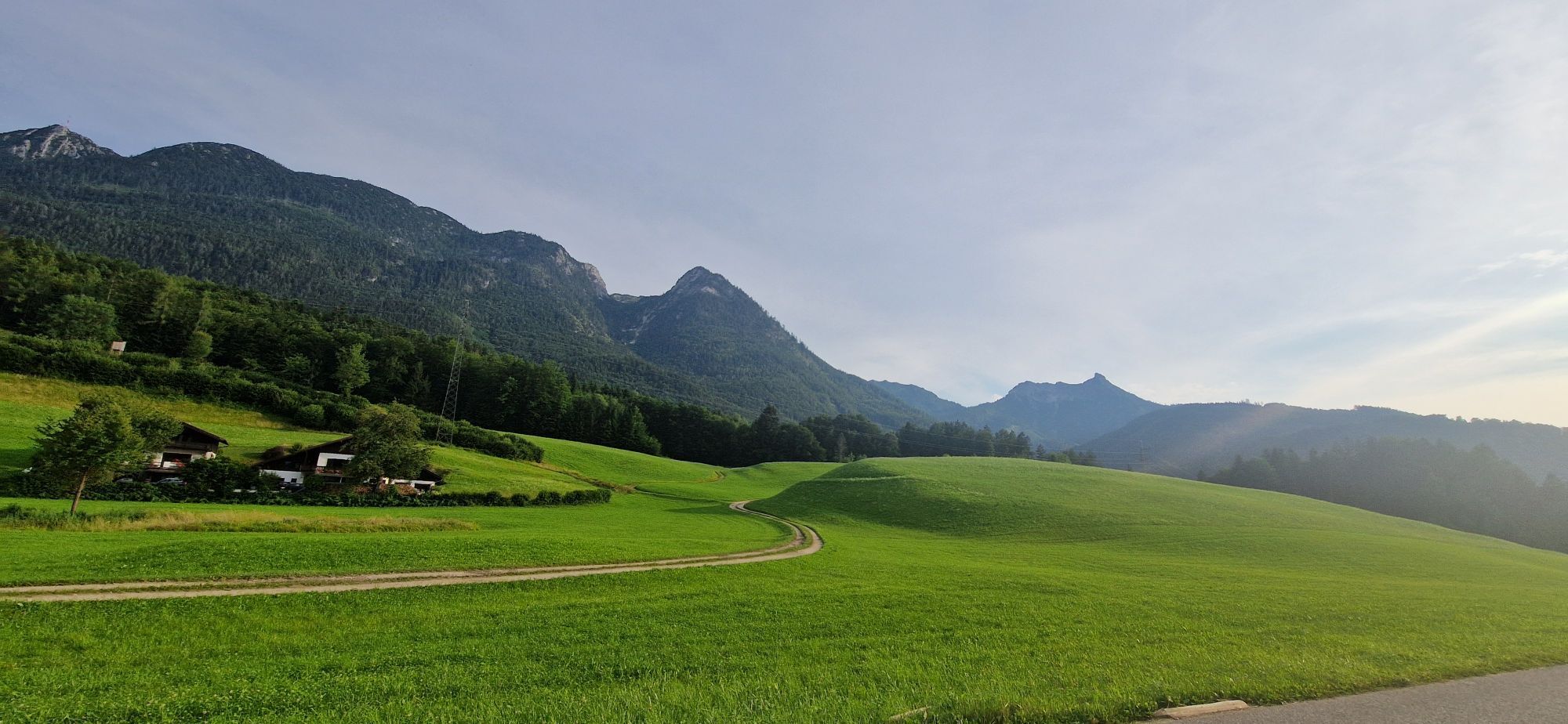
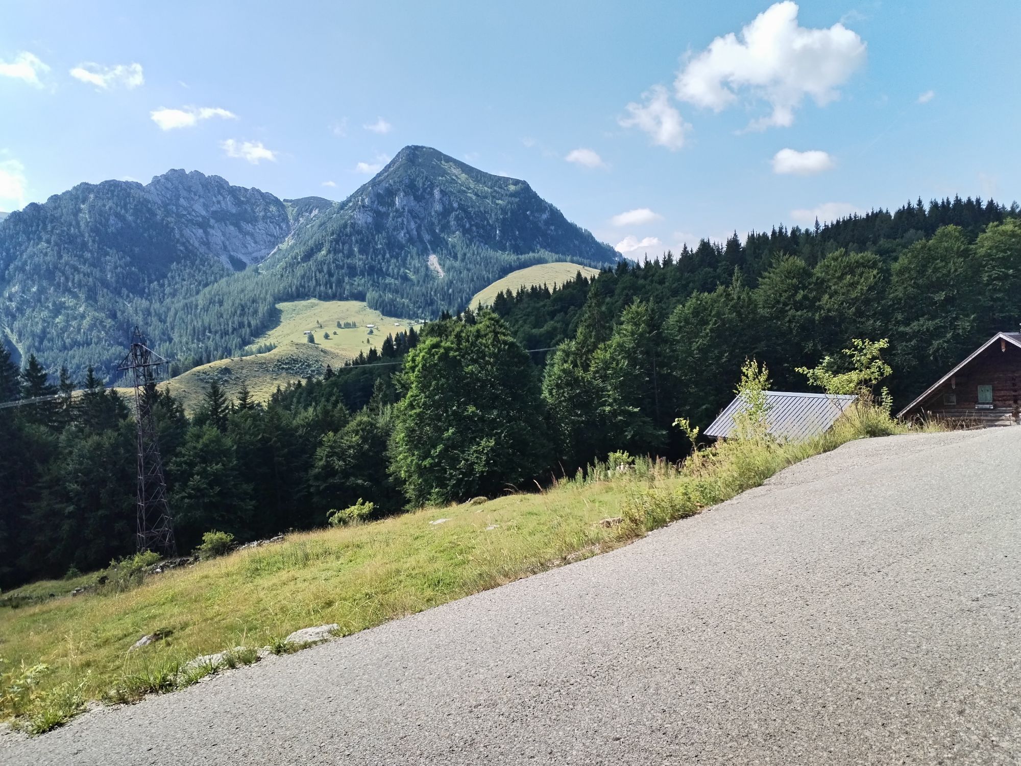
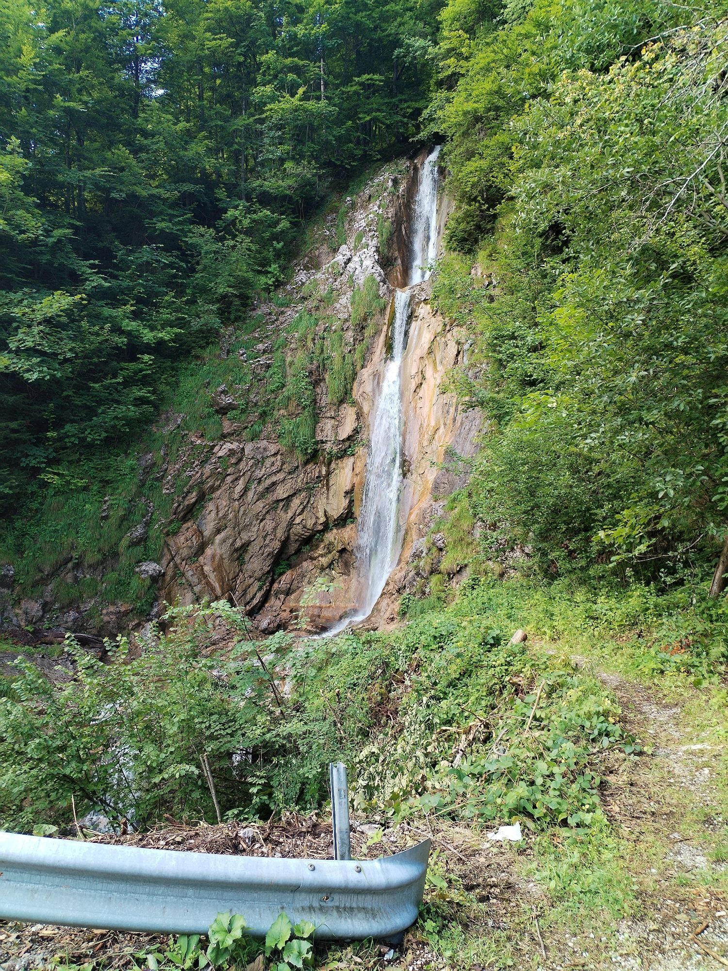
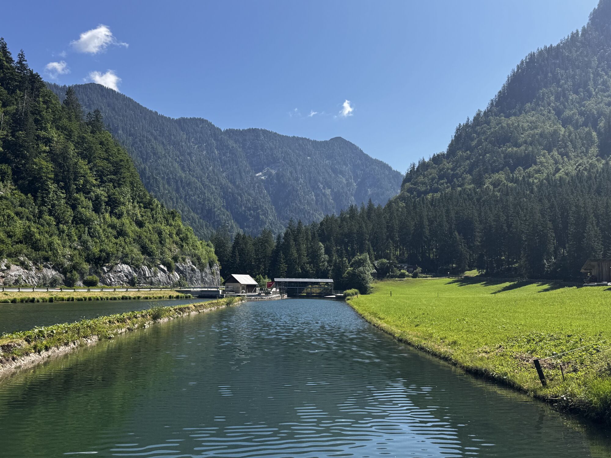
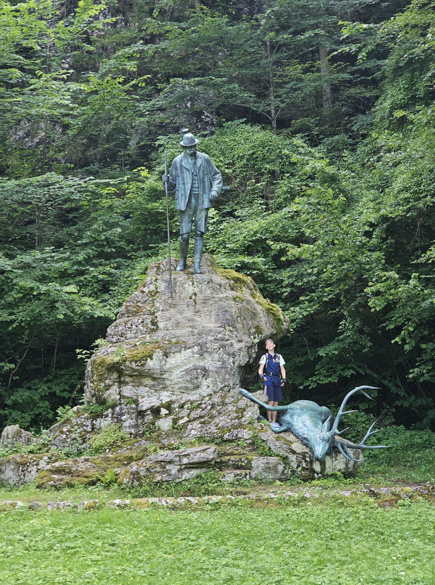
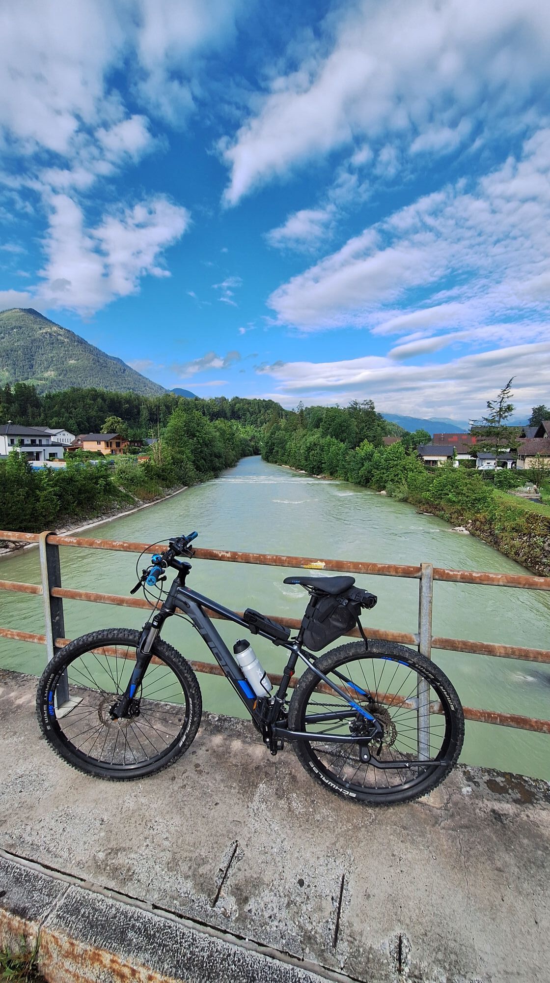
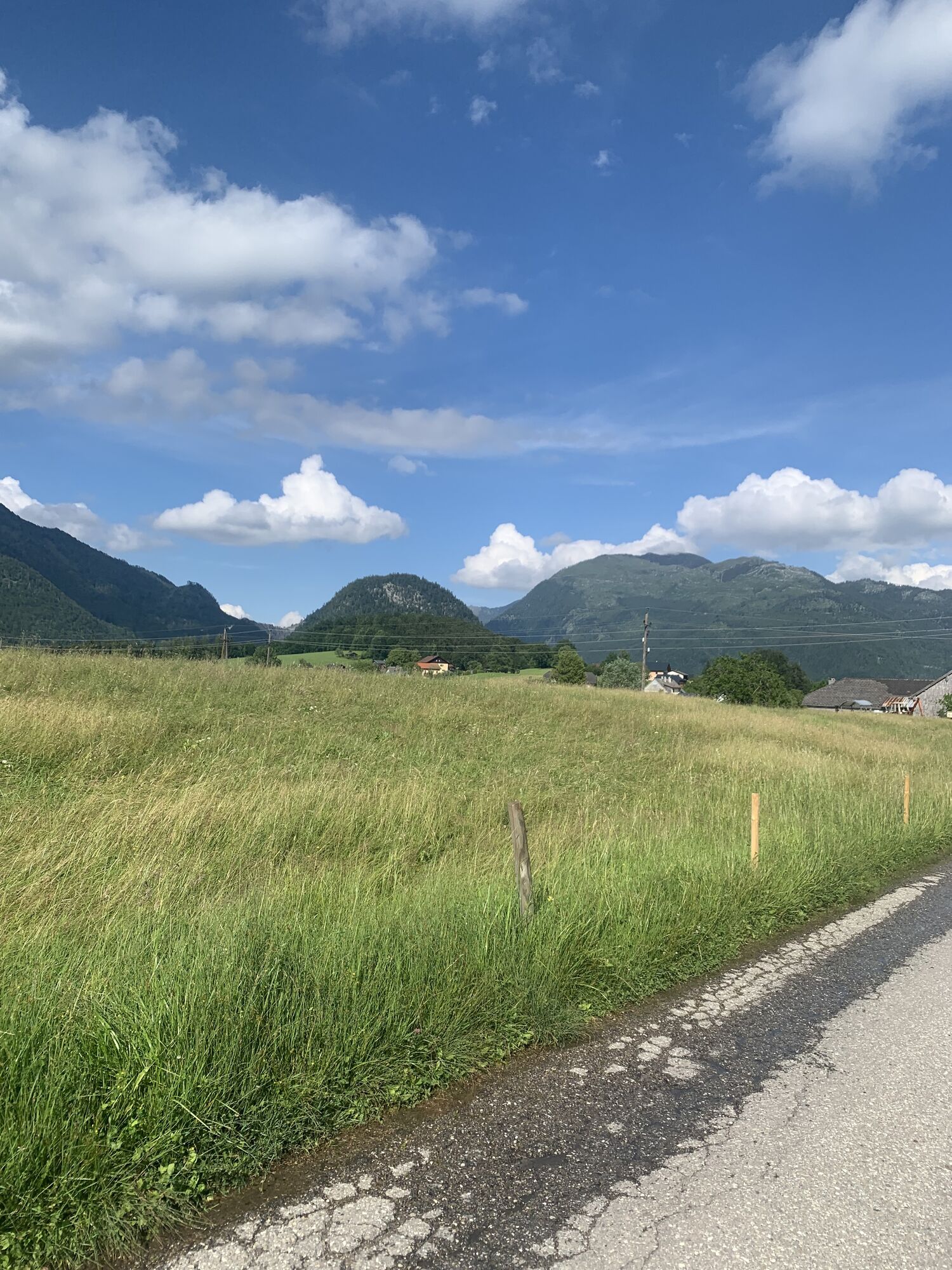
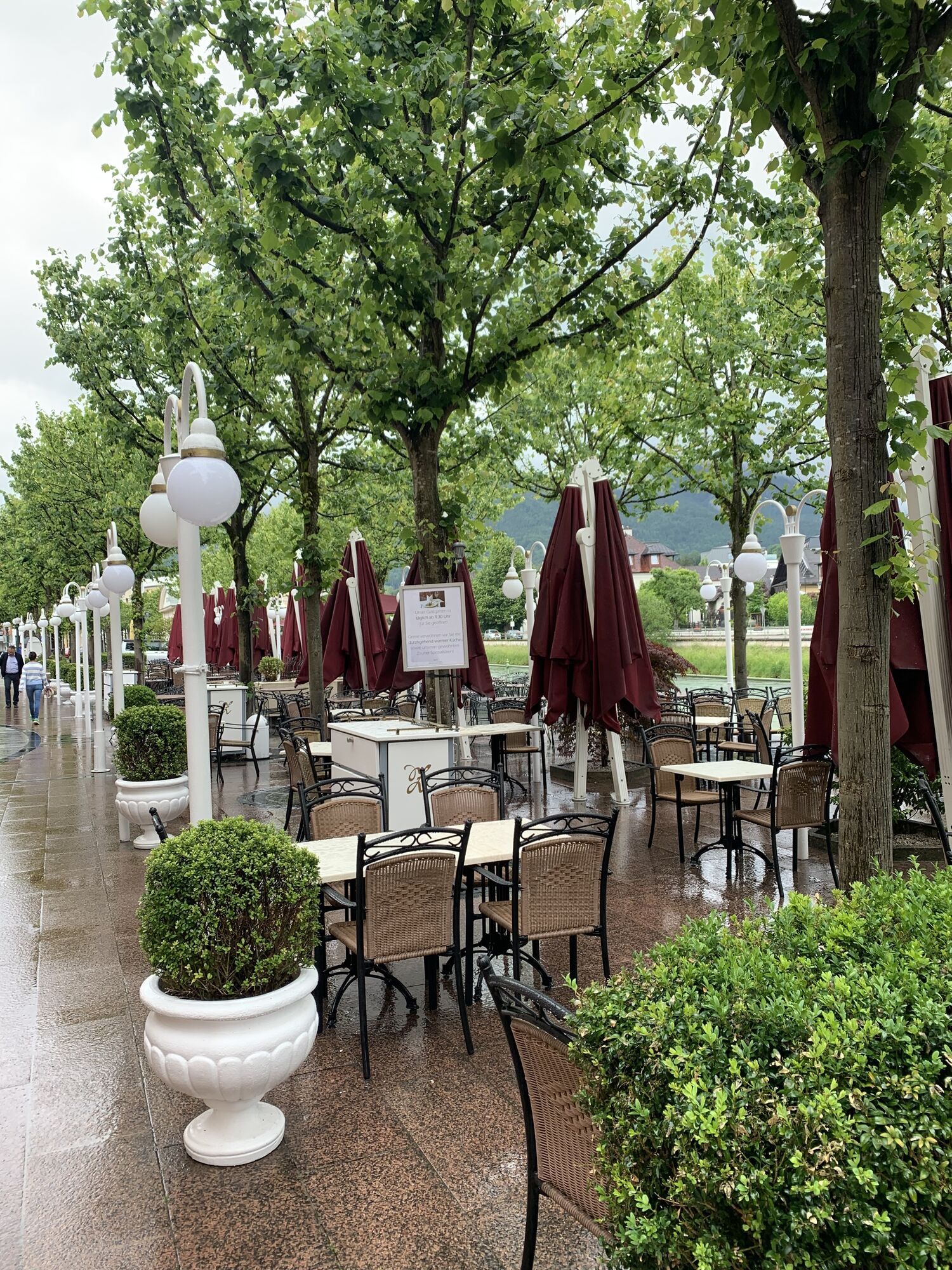
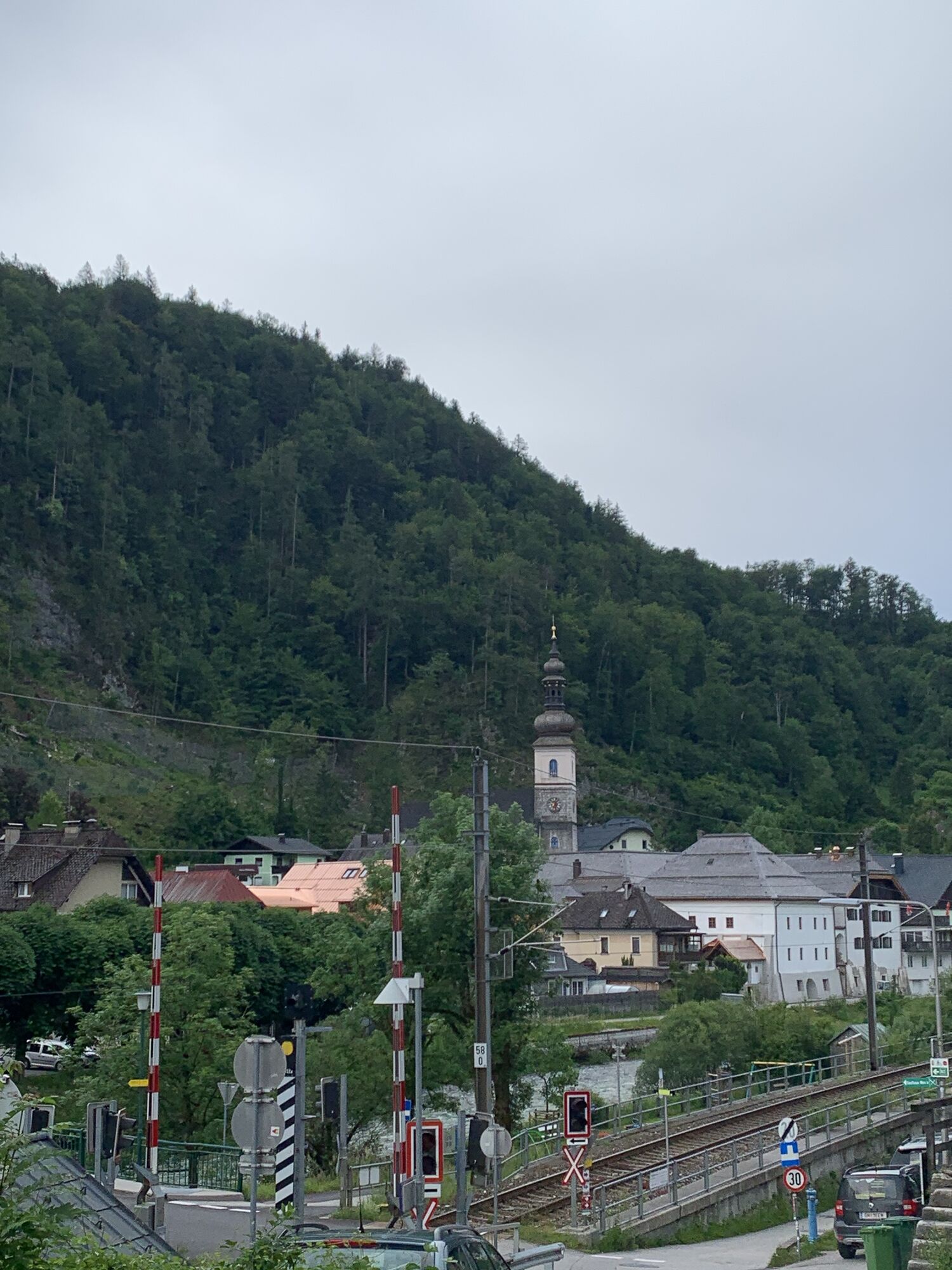
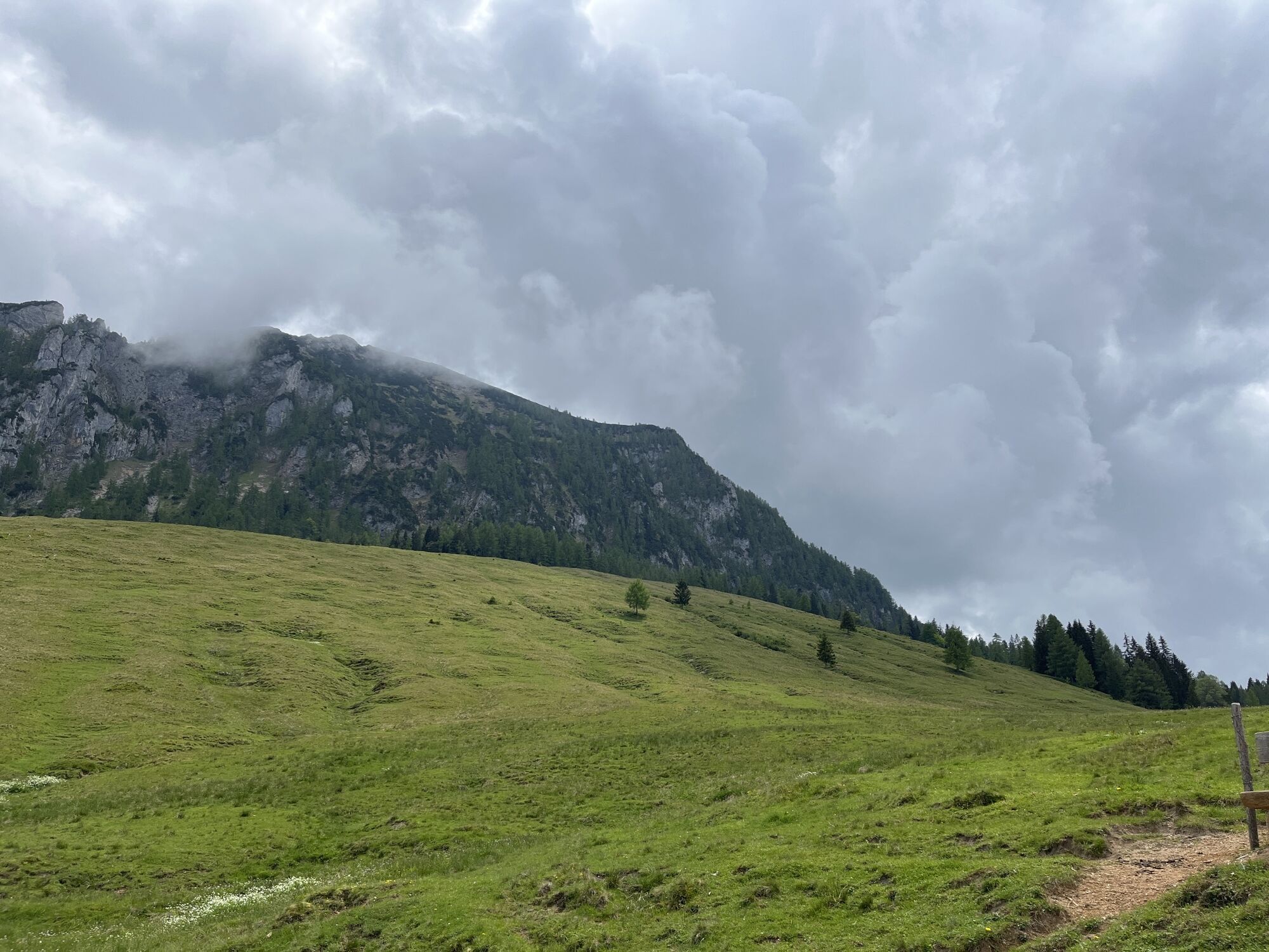
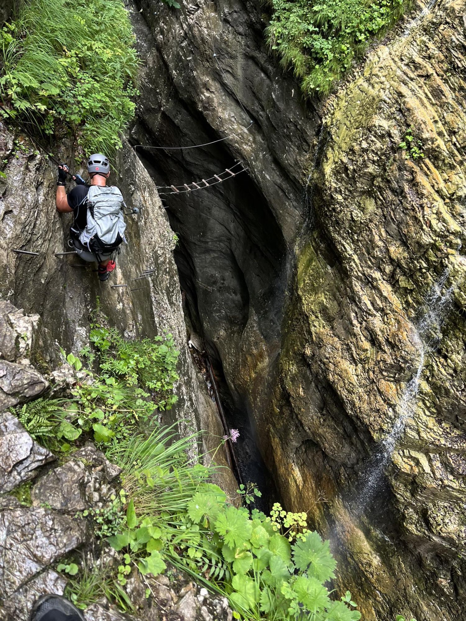
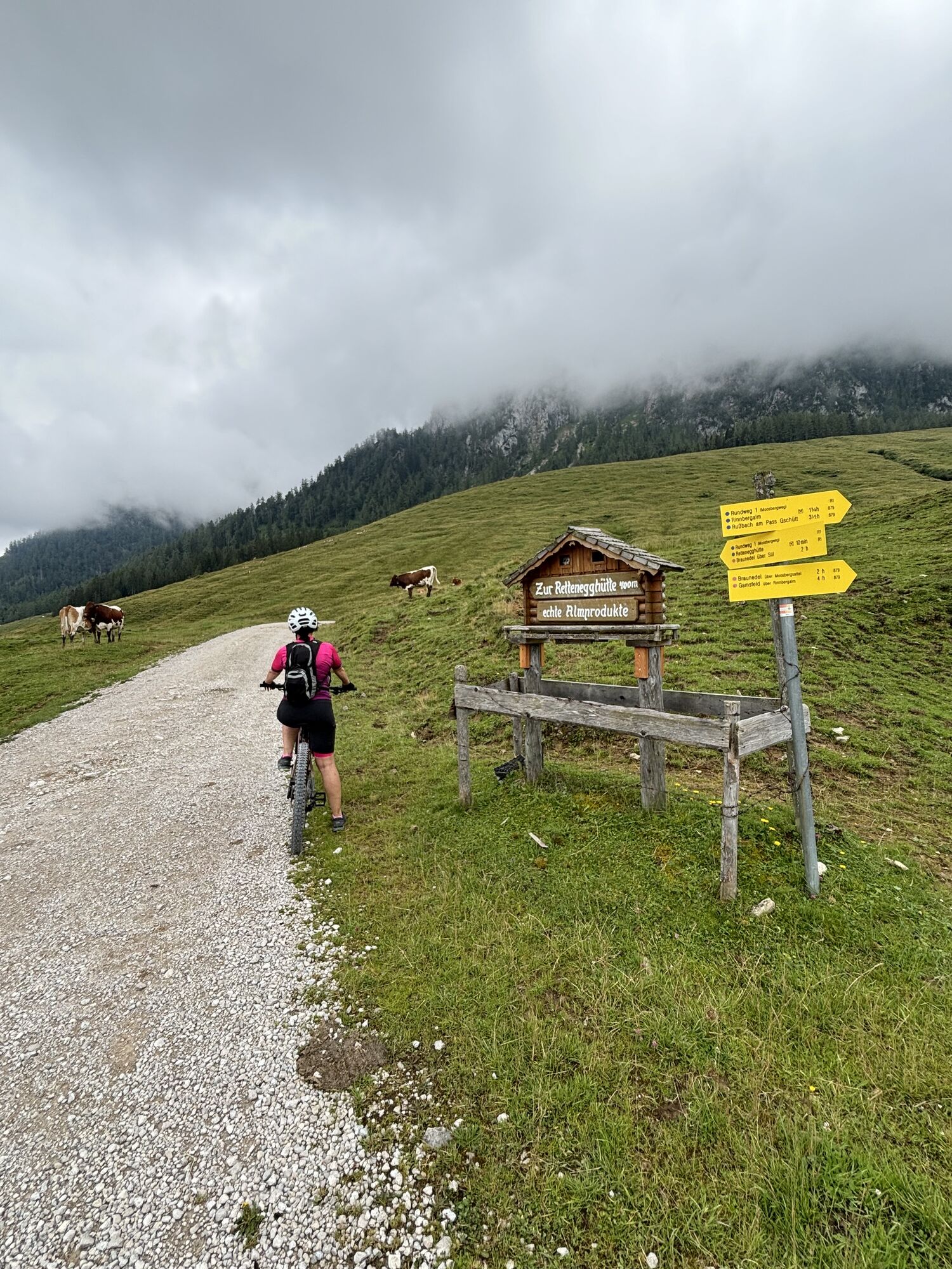
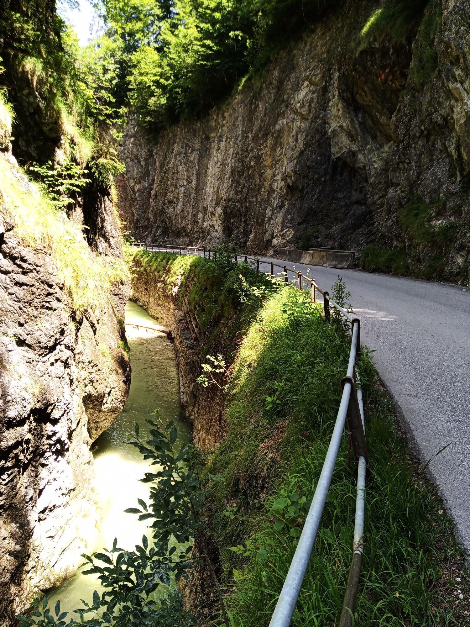
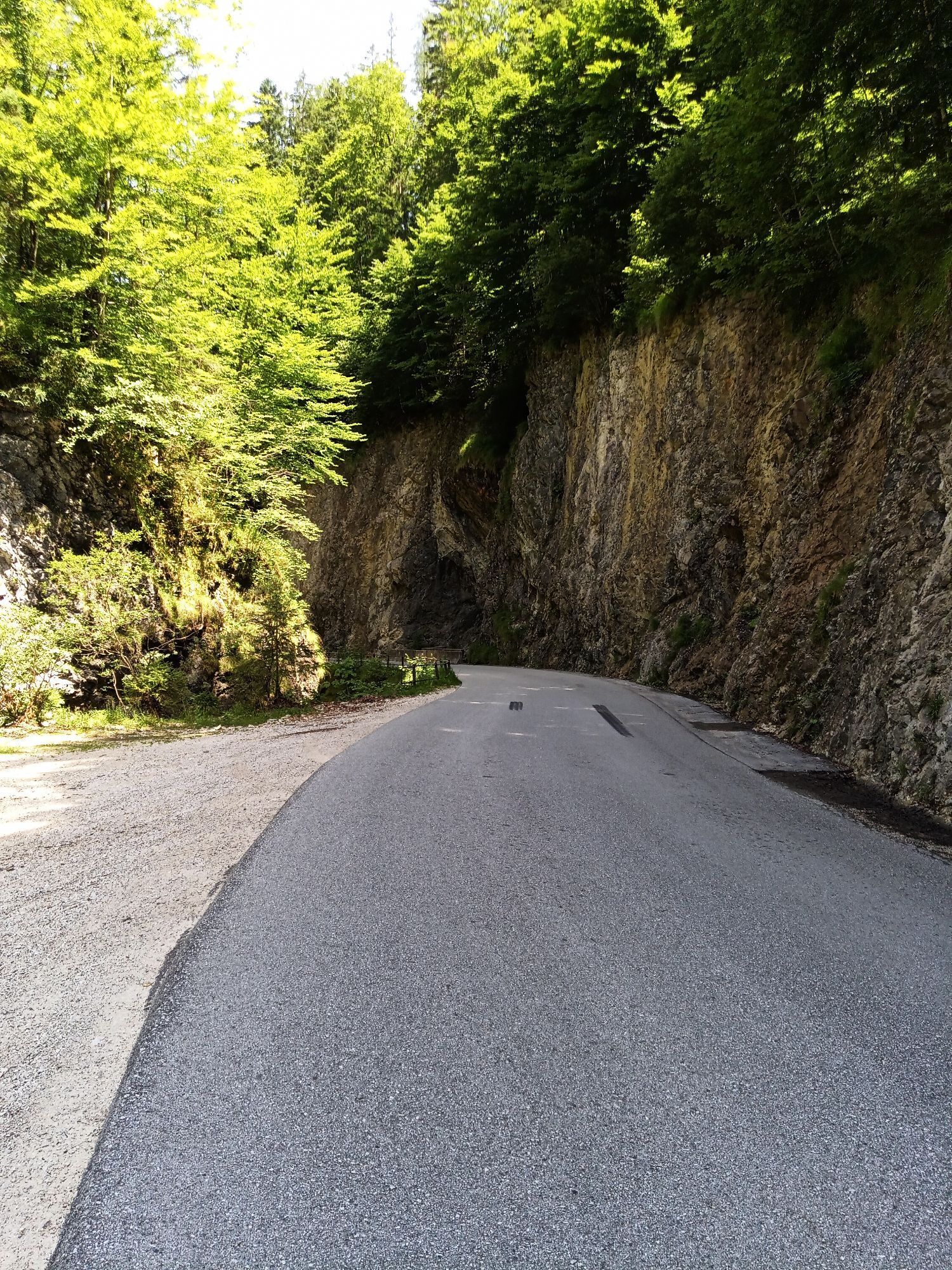
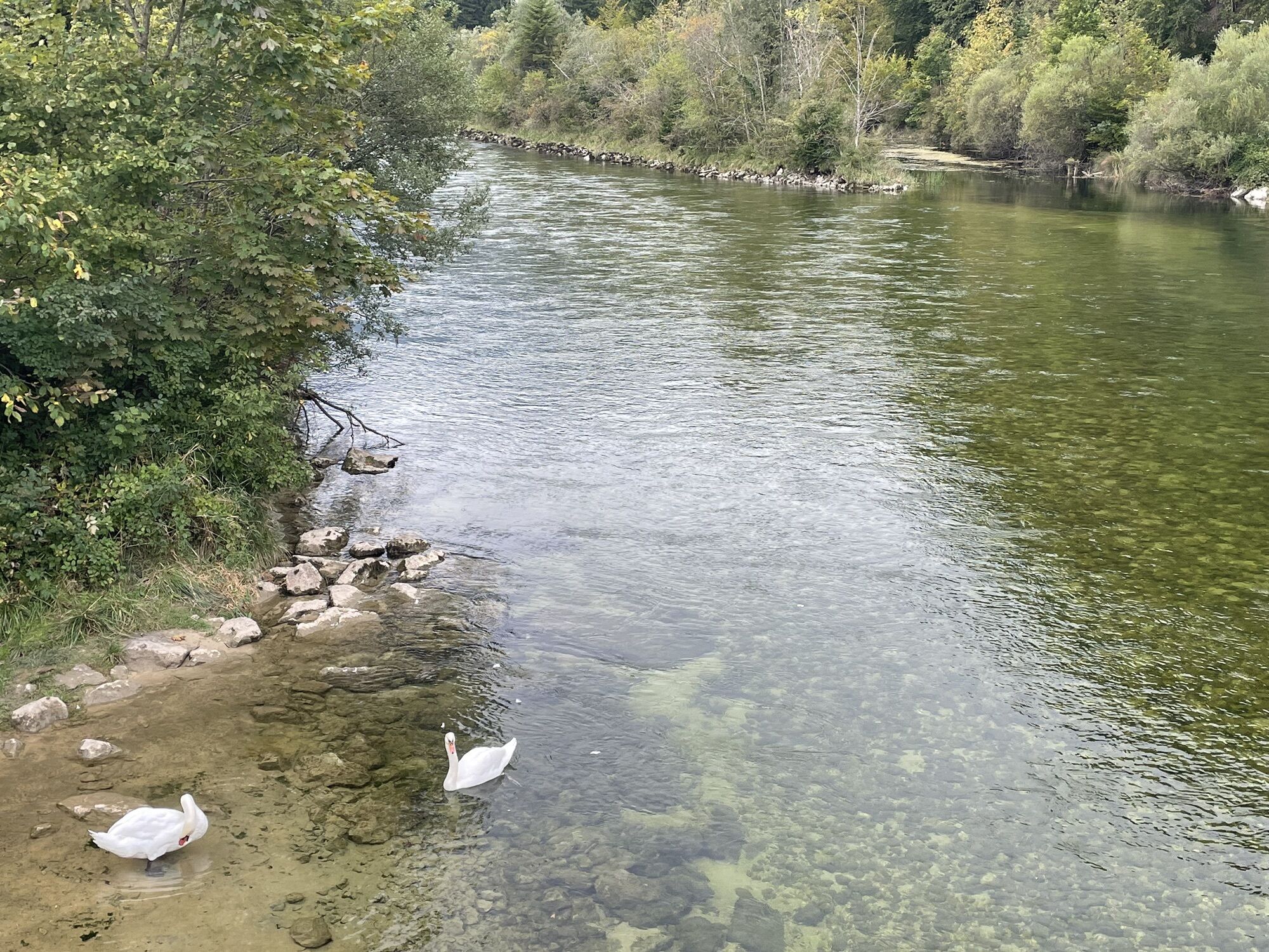
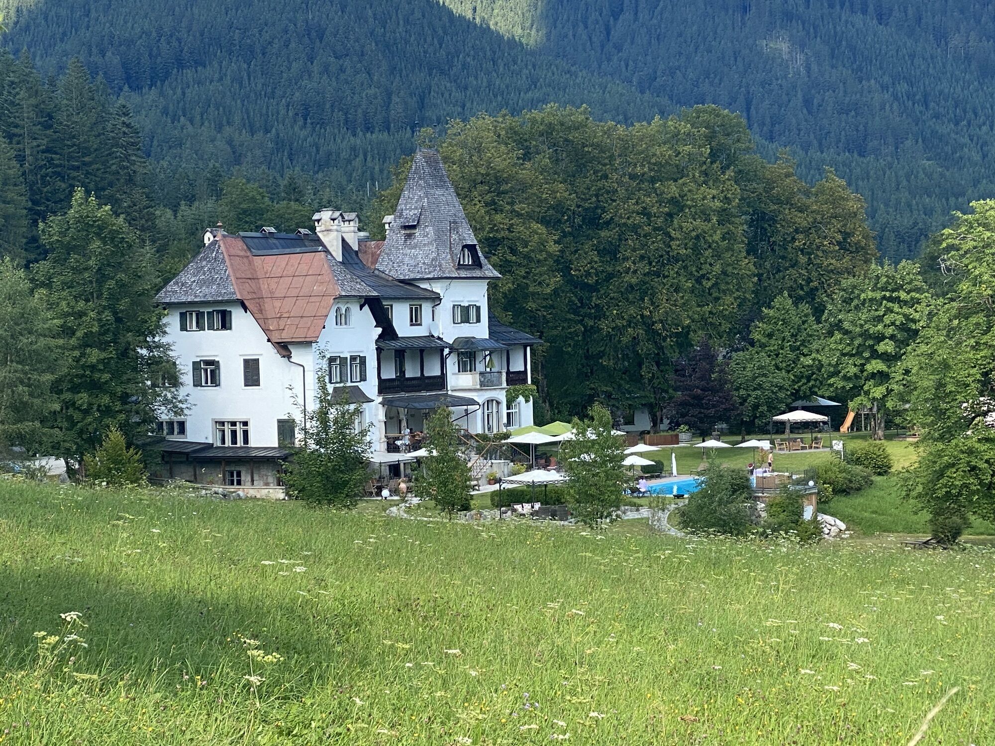
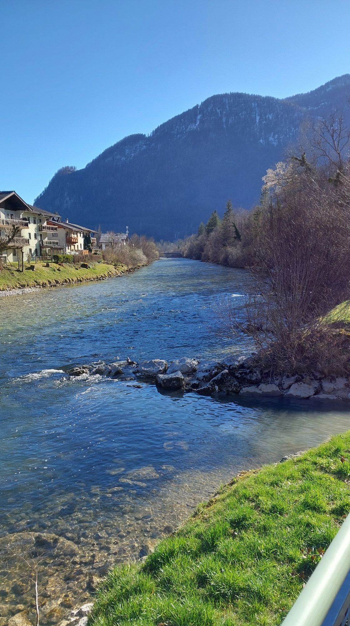
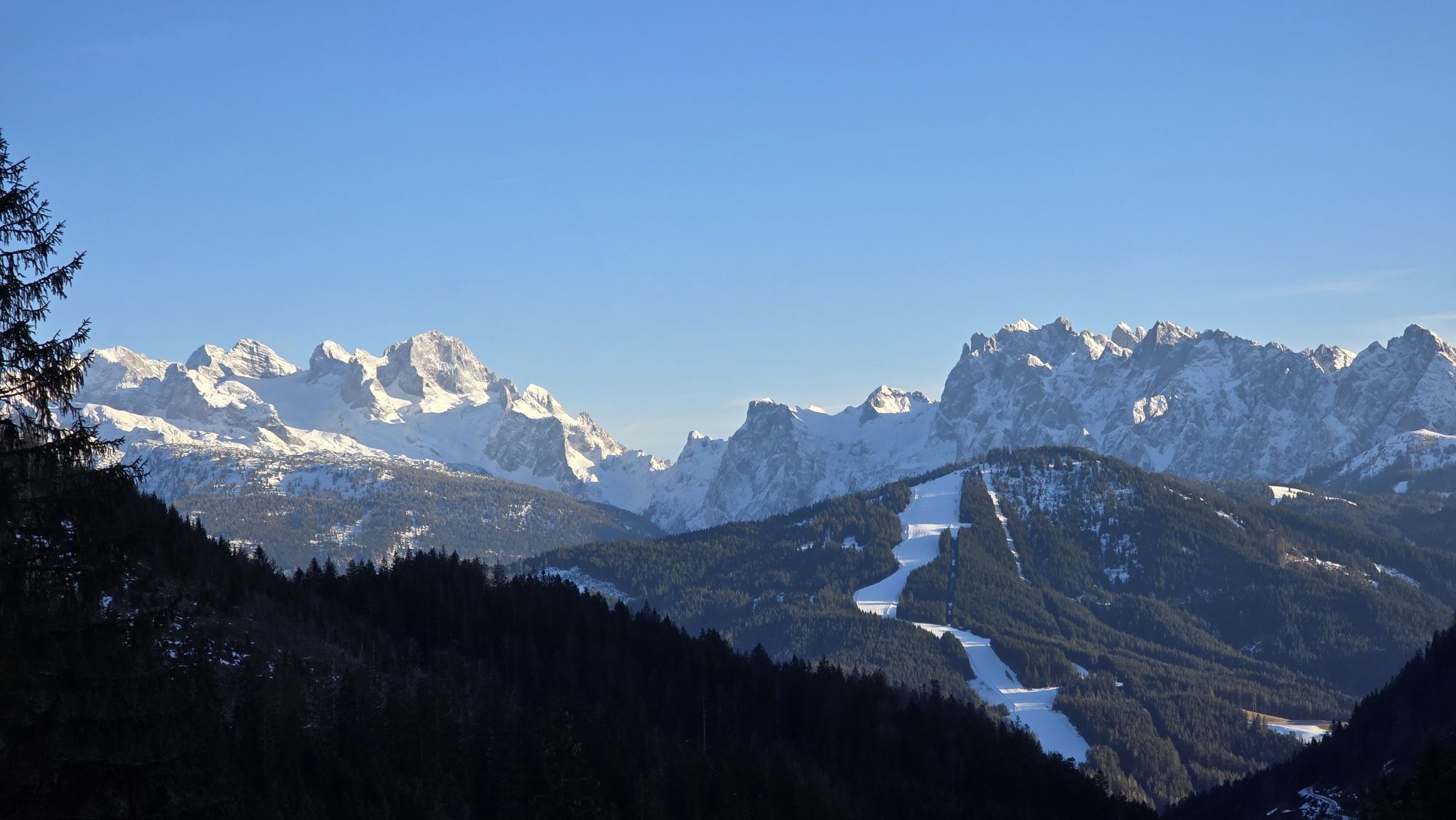
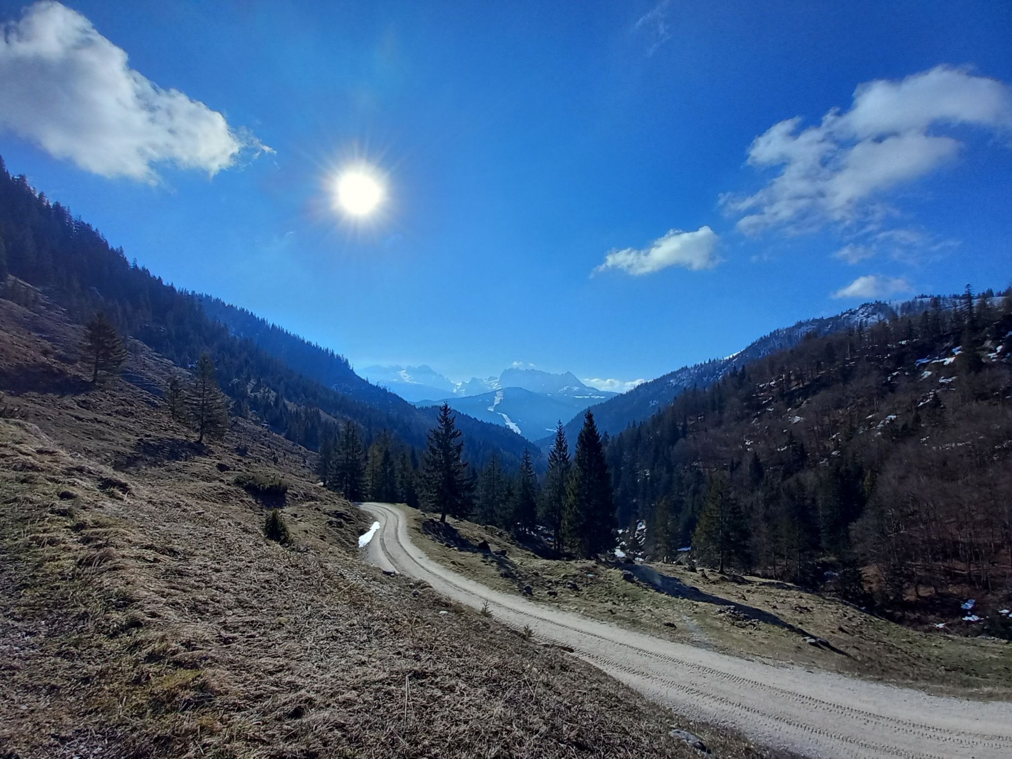
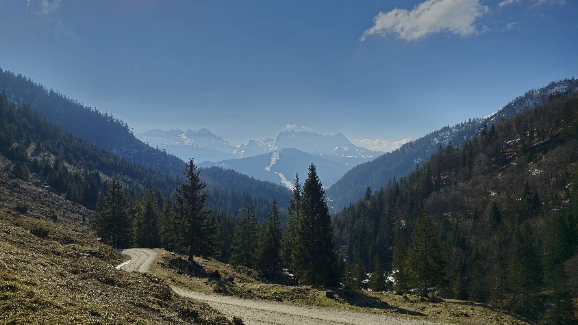
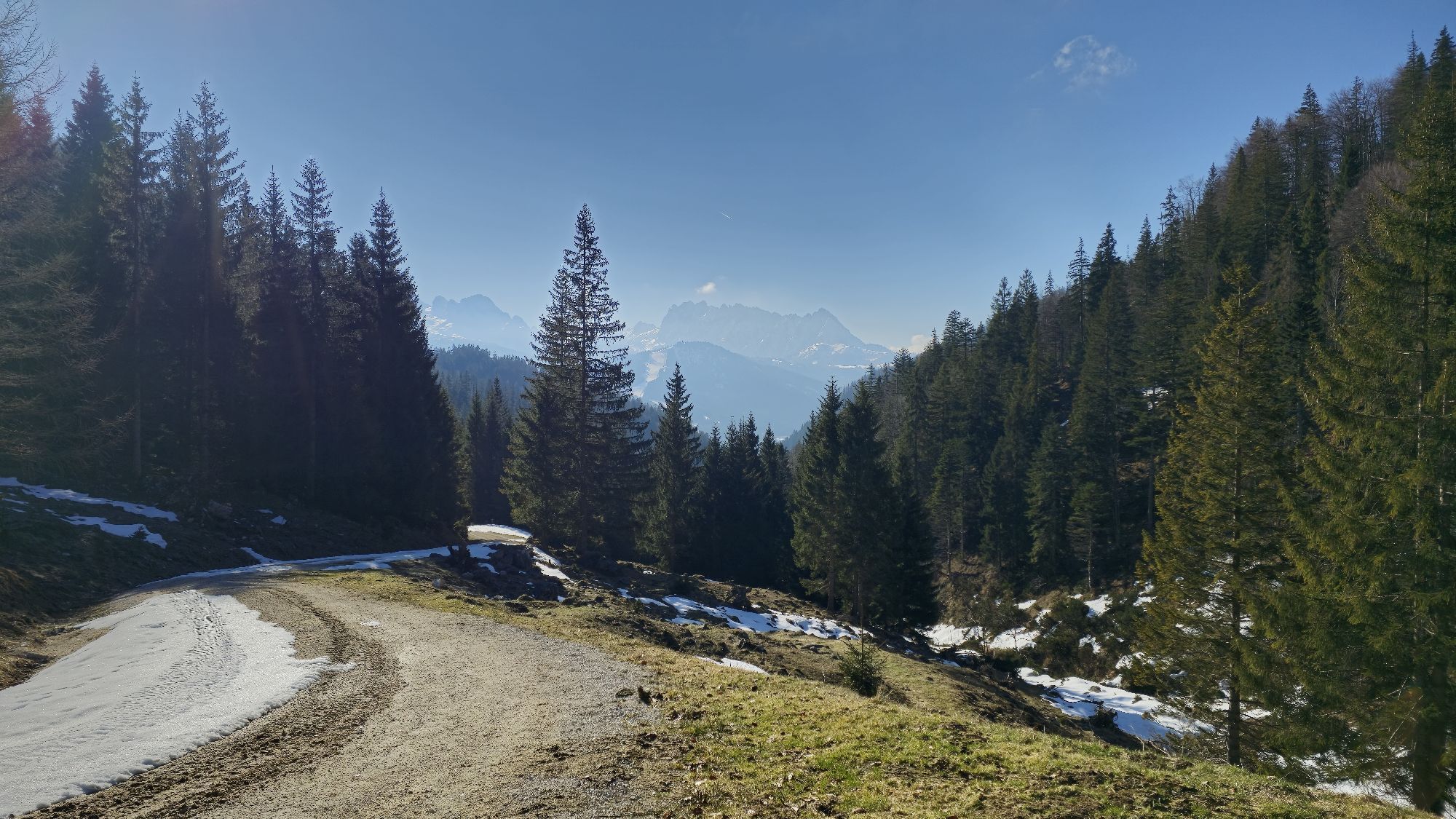
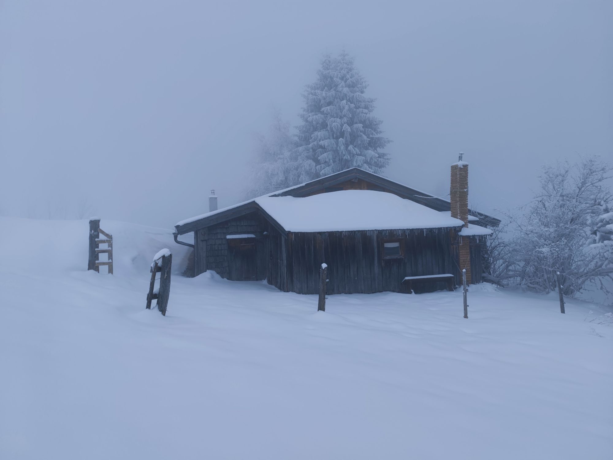
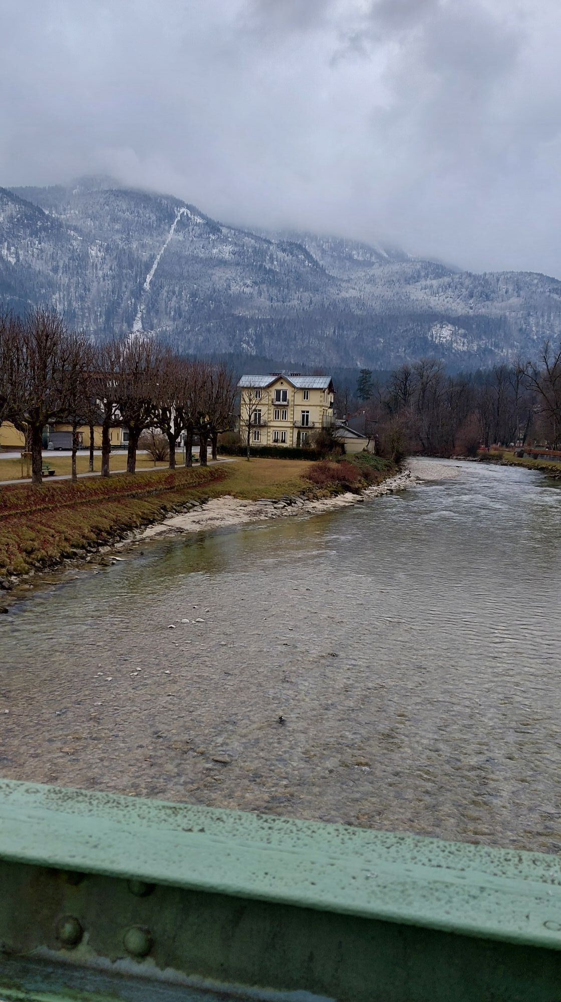
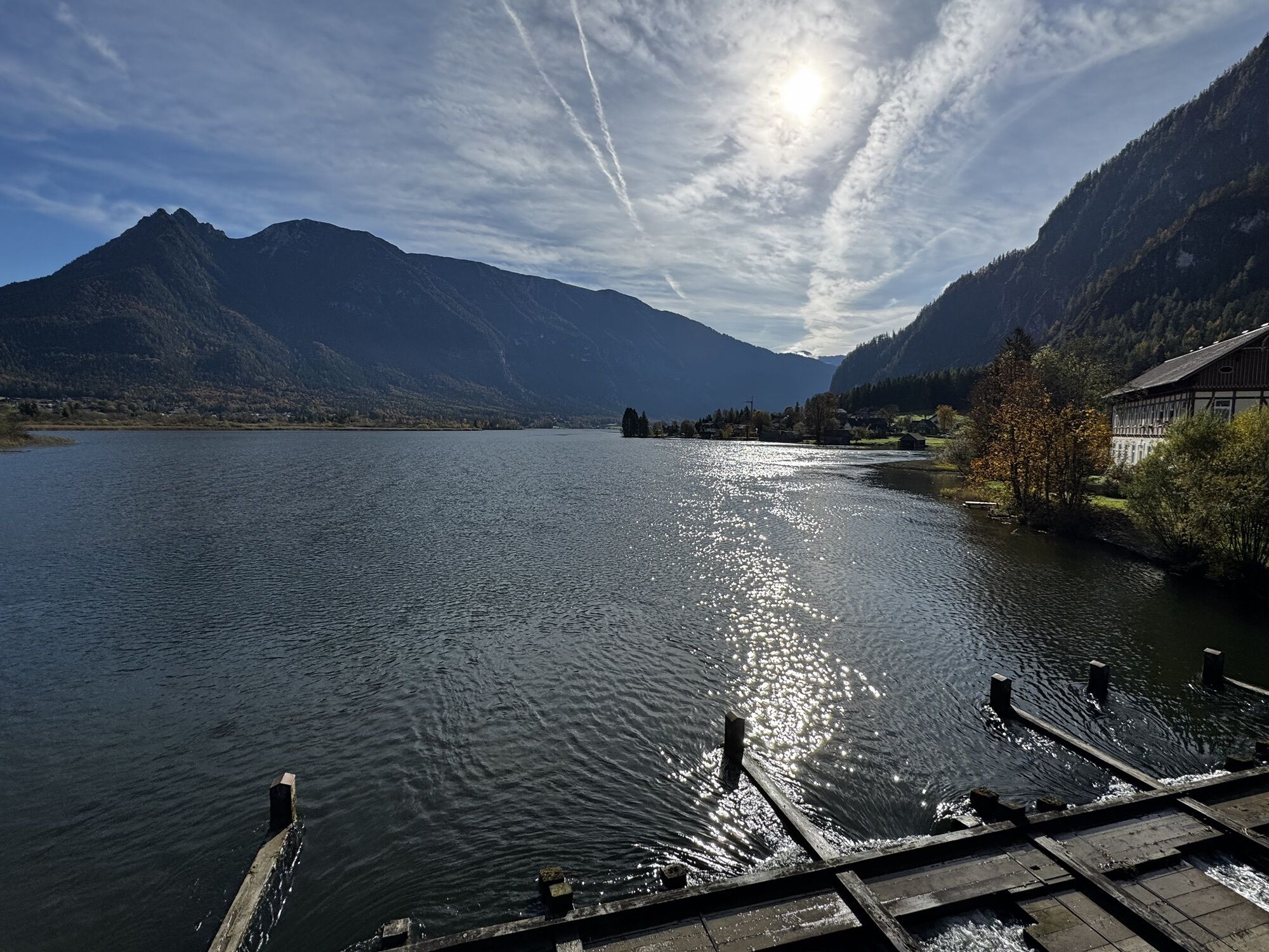
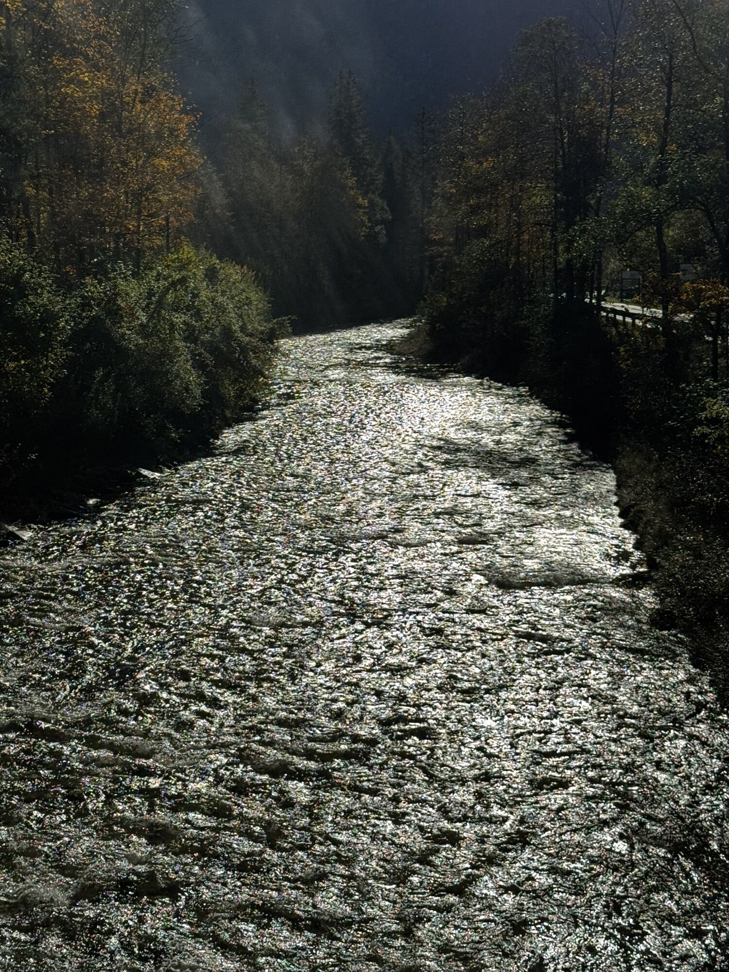
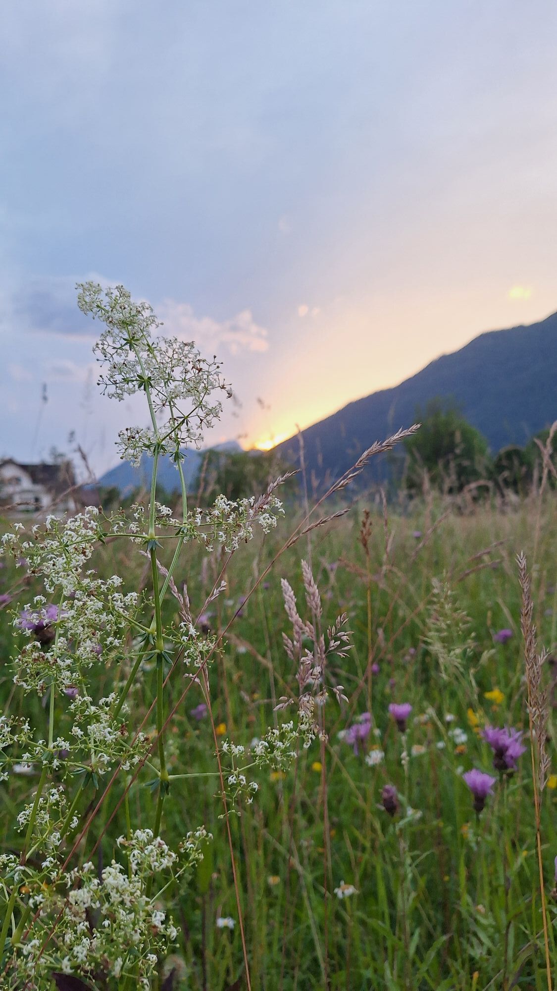
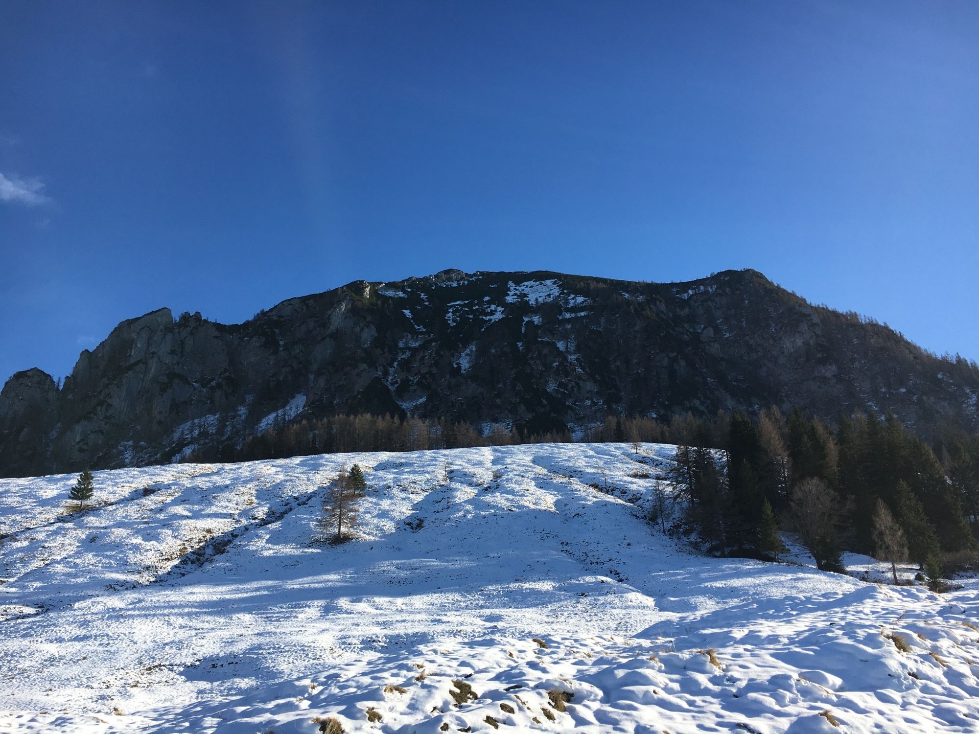
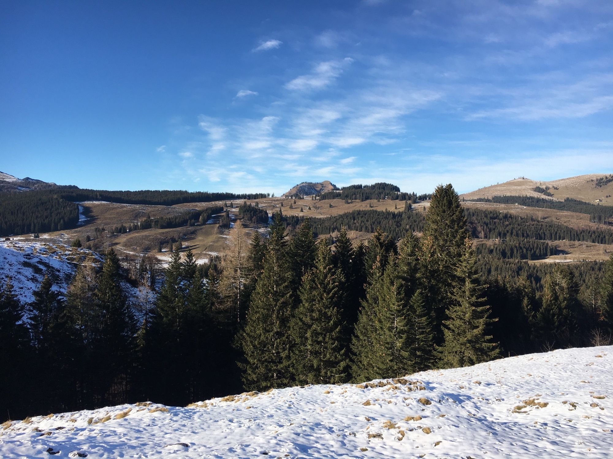
Photos from our users
-
 © Utassy Tóth JohannaCreated on 20.07.2025
 -
 © Utassy Tóth JohannaCreated on 19.07.2025
 -
 © Utassy Tóth JohannaCreated on 19.07.2025
 -

 © Petr Kučera 4Created on 15.07.2025
 -
 © Petr Kučera 4Created on 15.07.2025
 -
 © Petr Kučera 4Created on 15.07.2025
 -

 © Friederike SteyrerCreated on 24.06.2025
 -

 © Hütter ManuelCreated on 09.06.2025
 -
 © Manfred KarlCreated on 20.05.2025
 -

 © Aga MCreated on 10.06.2024
 -
 © Aga MCreated on 05.06.2024
 -
 © Michael KoglerCreated on 04.06.2024
 -
 © Michael KoglerCreated on 04.06.2024
 -
 © Michael KoglerCreated on 30.05.2024
 -
 © Michael KoglerCreated on 30.05.2024
 -
 © Michael KoglerCreated on 30.05.2024
 -
 © Heinz SperlCreated on 04.06.2023
 -
 © Aleš PavlátCreated on 22.07.2024
 -
 © Christian Radl 1Created on 14.07.2024
 -
 © Erwin KrumböckCreated on 29.06.2024
 -
 © Erwin KrumböckCreated on 29.06.2024
 -
 © Erwin KrumböckCreated on 29.06.2024
 -

 © Walter FaschingederCreated on 22.09.2025
 -
 © Wolfgang ZitaCreated on 07.08.2025
 -

 © E.U.Created on 19.03.2025
 -

 © Márk János KóródiCreated on 02.03.2025
 -
 © Lehel AntalCreated on 02.03.2025
 -
 © Márk János KóródiCreated on 02.03.2025
 -
 © Márk János KóródiCreated on 02.03.2025
 -
 © Schurli1977Created on 18.02.2025
 -
 © E.U.Created on 14.02.2025
 -
 © Gerhard PiglmannCreated on 12.10.2024
 -
 © Gerhard PiglmannCreated on 12.10.2024
 -
 © Aga MCreated on 06.06.2024
 -
 © Michael KoglerCreated on 17.05.2024
 -
 © skibbeldiwapwapCreated on 28.11.2020
 -
 © skibbeldiwapwapCreated on 28.11.2020


No reviews yet
Popular tours in the neighbourhood
-
4,4
Bad Goisern: Pötschenhöhe – Sarstein - Obertraun
Pješačenje 11,4 km -
4,5
Hike to the Hütteneckalm
lightPješačenje 8,70 km -
4,7
/\ Sparber
heavyPješačenje 6,82 km -
4,6
Donnerkogel vom Gosausee mit Intersport Klettersteig C/D und Himmelsleiter
heavyVia ferrata 7,70 km -
4,5
St. Gilgen: Wolfgangsee (6 Seen) Rundfahrt
mediumMountainbike 45,5 km -
4,7
Vorderer u. hinterer Gosausee
mediumPješačenje 15,0 km -
4,9
„Hoher Sarstein 1975m“ - Hallstätter Genusstour - Hallstatt - Obertraun - Bad Ischl
heavyPješačenje 23,2 km -
4,0
Predigtstuhl 1.278m
mediumPješačenje 6,77 km -
4,2
Weißenbach-Meisterebenalm-Raudaschalm-Fachbergalm zurück nach Weißenbach
mediumPješačenje 12,3 km -
3,6
Vormauerstein von St. Wolfgang hinauf
mediumPješačenje 14,5 km
bergfex Tours

Over 550.000 tour suggestions, detailed maps and an intuitive route planner make the app a must-have for all nature enthusiasts.

Ne propustite ponude i inspiraciju za vaš sljedeći odmor
Subscribe to the newsletter
Error
An error has occurred. Please try again.
Thank you for your registration
Your e-mail address has been added to the mailing list.
Tours throughout Europe
Austrija
Švicarska
Njemačka
Italija
Slovenija
Francuska
Nizozemska
Belgija
Poljska
Lihtenštajn
Češka
Slovačka
Španija
Hrvatska
Bosna i Hercegovina
Luksemburg
Andora
Portugal
Island
Ujedinjeno Kraljevstvo
Irska
Grčka
Albanija
Sjeverna Makedonija
Malta
Norveška
Crna Gora
Moldova
Kosovo
Mađarska
San Marino
Rumunjska
Estonija
Latvija
Bjelorusija
Cipar
Litva
Srbija
Bugarska
Monako
Danska
Švedska
Finska