Hitzendorf - Forstkogel - Generalkogel - Jägerberg
heavy
Navigate
Navigate
Get this tour on your mobile
Hitzendorf - Forstkogel - Generalkogel - Jägerberg
heavy
Pješačenje
23,15
km
Scan the QR code and start navigation in the bergfex app

Hiking & Tracking


Distance
23,15
km
Duration
06:18
h
Ascent
651
m
Sea level
369 -
703
m
Track download
Hitzendorf - Forstkogel - Generalkogel - Jägerberg
heavy
Pješačenje
23,15
km
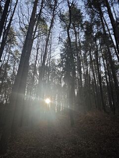
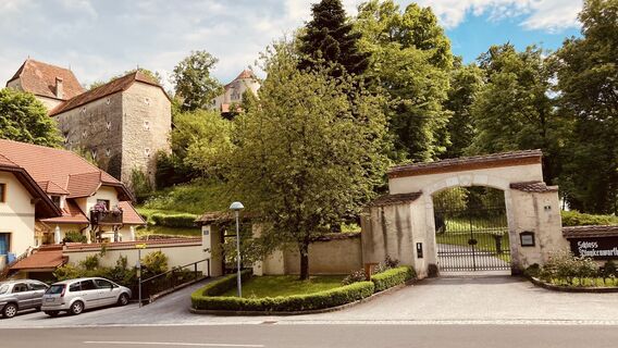
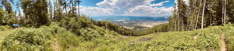
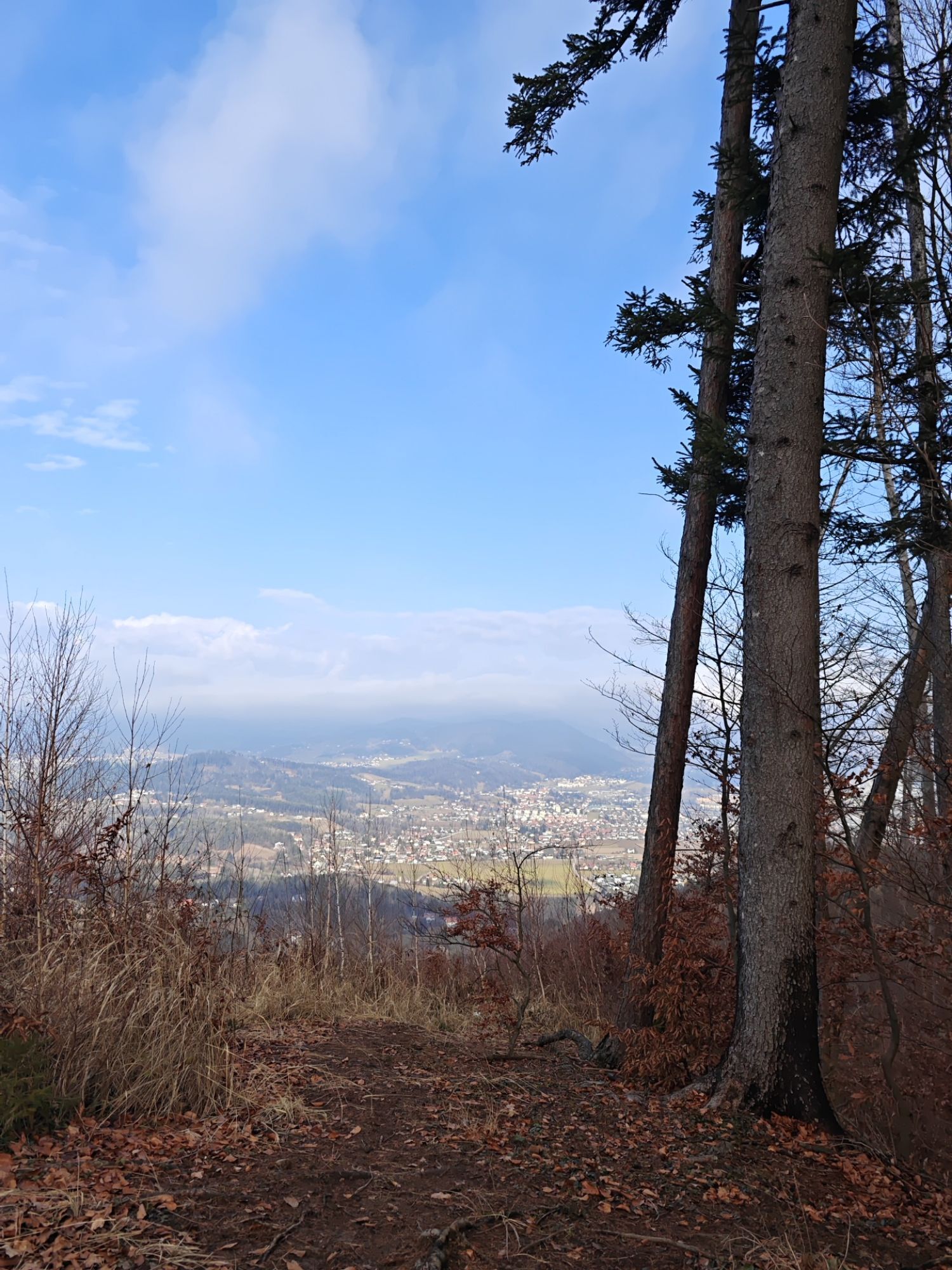
Photos from our users
-
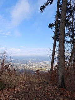
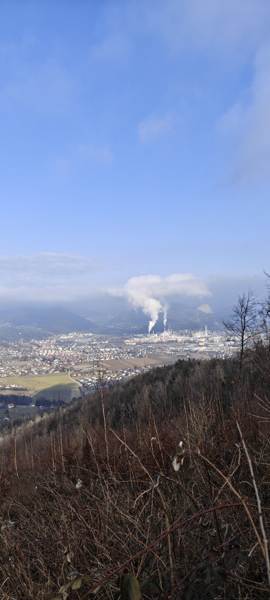
 © Huba CsicsicsCreated on 08.02.2026
 -
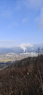 © Huba CsicsicsCreated on 08.02.2026
 -
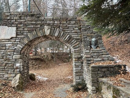
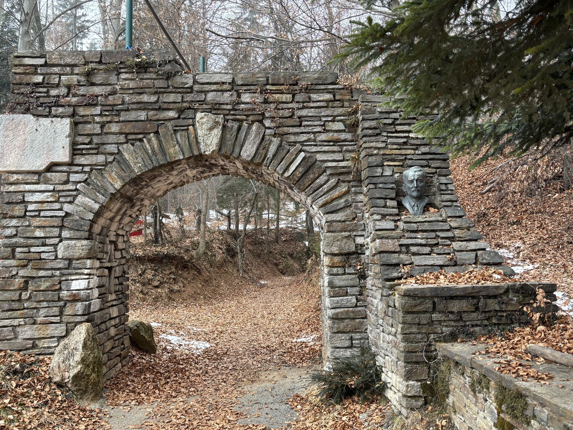
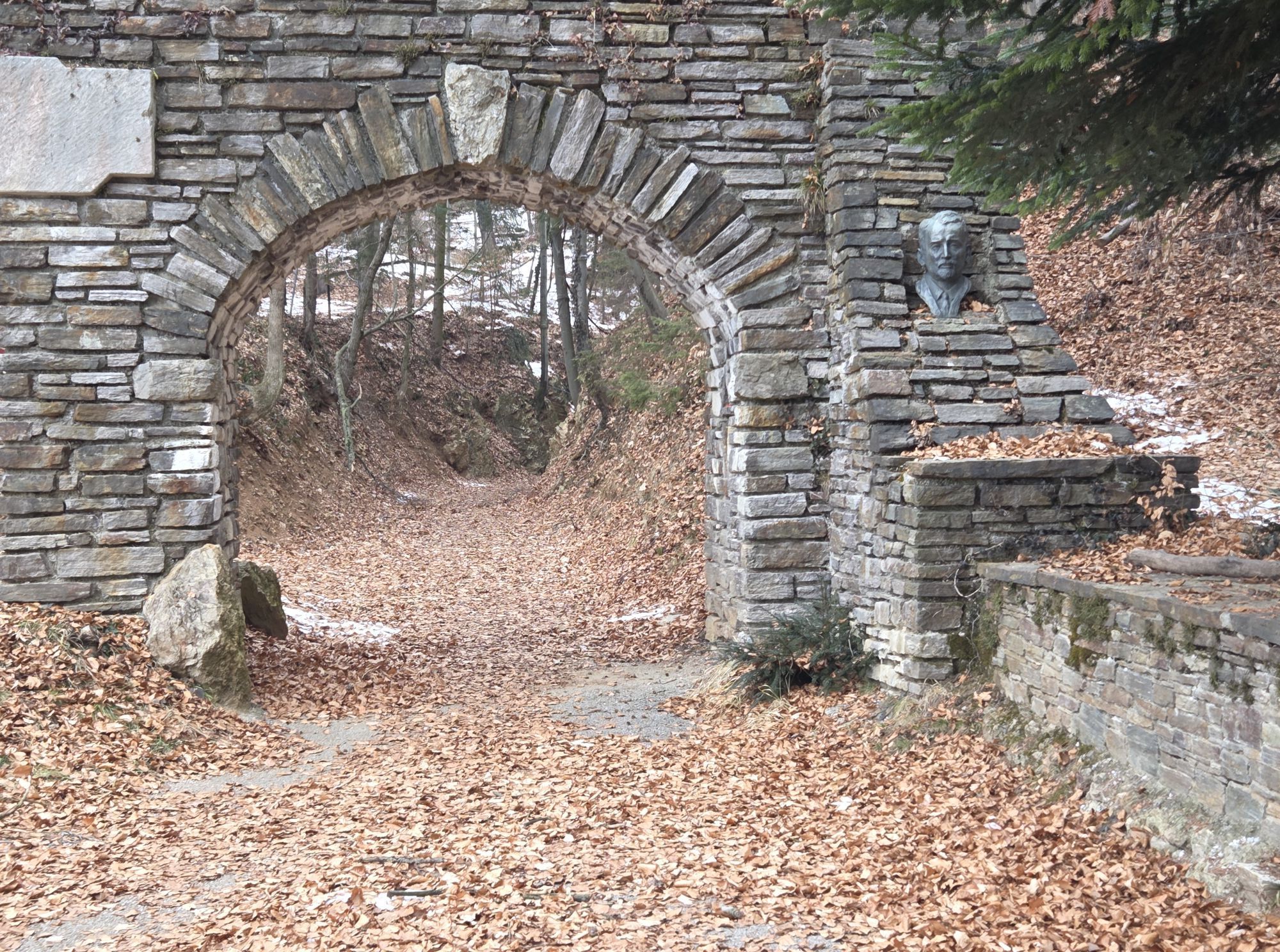
 © Erich TrattnerCreated on 21.01.2026
 -
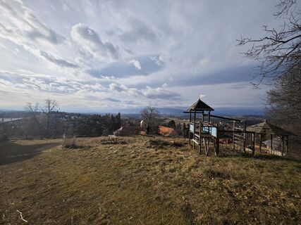
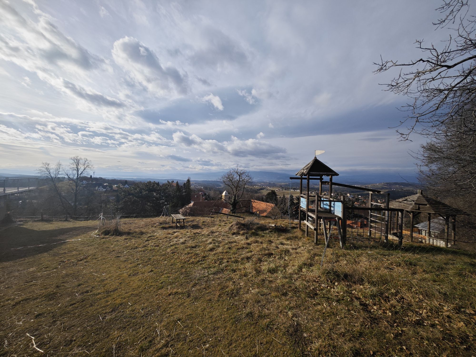
 © Gabriele RCreated on 21.01.2026
 -
 © Koisiegi Japankoi-BonsaiCreated on 26.01.2025
 -
 © Koisiegi Japankoi-BonsaiCreated on 26.01.2025
 -
 © Robert GerardCreated on 03.06.2021
 -
 © Robert GerardCreated on 03.06.2021

Route
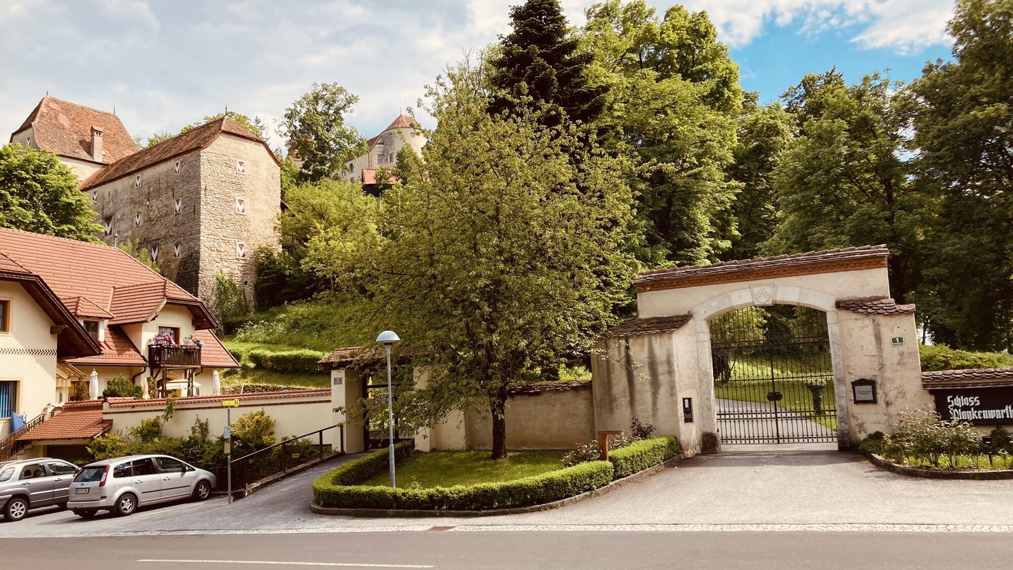
Hitzendorf
(380 m)
Village
0,0 km
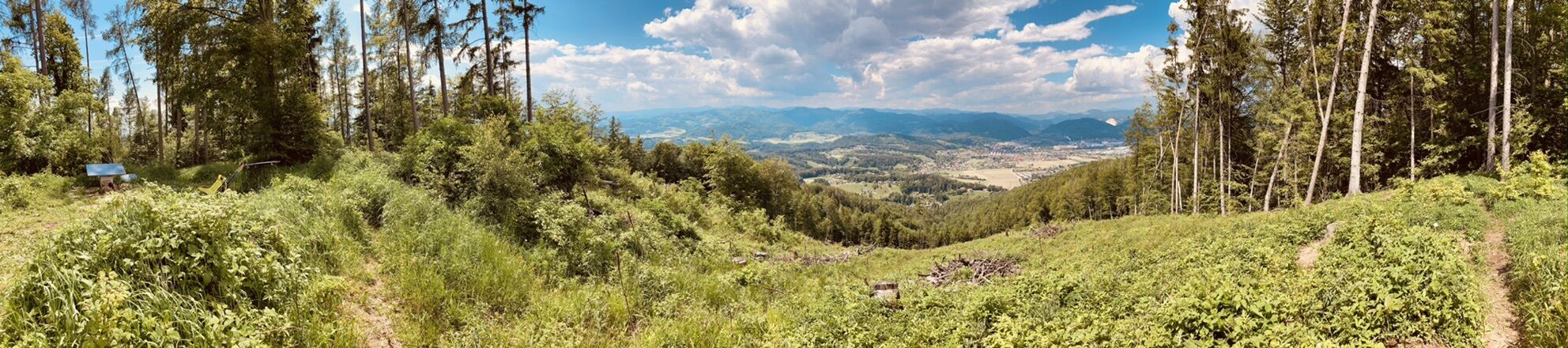
Forstkogel
(622 m)
Summit
5,5 km
Generalkogel
(713 m)
Summit
9,7 km
Jägerberg
(676 m)
Summit
13,5 km
Wipfing
(557 m)
Settlement
14,8 km
Rohrbach
(399 m)
Village
19,6 km
Rohrbach-Aich
(387 m)
Settlement
19,9 km
Route
Hitzendorf - Forstkogel - Generalkogel - Jägerberg
heavy
Pješačenje
23,15
km
Hitzendorf
(380 m)
Village
0,0 km
Oberberg
(463 m)
Settlement
2,4 km
Steinberg
(553 m)
Village
4,9 km
Forstkogel
(622 m)
Summit
5,5 km
Generalkogel
(713 m)
Summit
9,7 km
Plankenwarth
(572 m)
Village
11,8 km
Jägerberg
(676 m)
Summit
13,5 km
Scherleiten
(580 m)
Settlement
14,3 km
Wipfing
(557 m)
Settlement
14,8 km
Rochberg
(515 m)
Settlement
16,6 km
Rohrbacherhof
(406 m)
Restaurant
18,2 km
Rohrbach
(399 m)
Village
19,6 km
Rohrbach-Aich
(387 m)
Settlement
19,9 km
Hitzendorf
(380 m)
Village
23,1 km
No reviews yet
Popular tours in the neighbourhood
-
4,7
Königgraben - Gamskogel - Bärenhöhle - Königgraben
mediumPješačenje 5,60 km -
3,7
Mühlbacher Hütte Rundwanderung über den Kaschlsteig
mediumPješačenje 13,7 km -
4,2
Hilmteich - Mariatrost
Pješačenje 5,12 km -
4,4
Rein ist Vergnügen
lightPješačenje 11,6 km -
4,7
Rundwanderweg Graz-Mariatrost
mediumPješačenje 11,4 km -
4,6
Gösting-Fürstenstand-Gösting Graz, Österreich
mediumPješačenje 7,11 km -
4,7
Johann u. Paul-Rudolfswarte-St.Martin Runde
lightPješačenje 6,39 km -
3,9
Stift Rein - Pleschkogel Rundwanderung
lightPješačenje 15,8 km -
5,0
Enzenbach -Kaschelsteig -Mühlbacherhütte
mediumPješačenje 9,34 km -
3,8
Plesch - Mühlbacherhütte
lightPješačenje 13,0 km

bergfex Tours

Over 550.000 tour suggestions, detailed maps and an intuitive route planner make the app a must-have for all nature enthusiasts.

Ne propustite ponude i inspiraciju za vaš sljedeći odmor
Subscribe to the newsletter
Error
An error has occurred. Please try again.
Thank you for your registration
Your e-mail address has been added to the mailing list.
Tours throughout Europe
Austrija
Švicarska
Njemačka
Italija
Slovenija
Francuska
Nizozemska
Belgija
Poljska
Lihtenštajn
Češka
Slovačka
Španija
Hrvatska
Bosna i Hercegovina
Luksemburg
Andora
Portugal
Island
Ujedinjeno Kraljevstvo
Irska
Grčka
Albanija
Sjeverna Makedonija
Malta
Norveška
Crna Gora
Moldova
Kosovo
Mađarska
San Marino
Rumunjska
Estonija
Latvija
Bjelorusija
Cipar
Litva
Srbija
Bugarska
Monako
Danska
Švedska
Finska